The Boise River | Spring Runoff Divertissement
Thanks to La Niña, the winter of 2016/2017 has been a record breaker for snow accumulation in Idaho and the Northwest. The current snowpack as of early March in the Boise River Basin is 144 percent of average which means there is going to be a lot of water coming out of the mountain wilderness of Central and SW Idaho and flowing into the Boise River as it courses through the Treasure Valley towards the mighty Snake River on the Oregon/Idaho border. The Boise is already flooding sections of the fabled Boise River Greenbelt, but this week the river is expected to hit the flood stage level of 7,000 cubic feet per second as it flows through the city. It is not officially Spring yet and this weekend the mountains are still getting pounded with snow. This is going to be a wet and wild runoff season. This thread will be ongoing through Spring as a way to remember history and to honor a beautiful river which is one of the main reasons Boise grew into the city it is today. If anyone else would like to contribute their photos please do it. :D Quote:
March 4 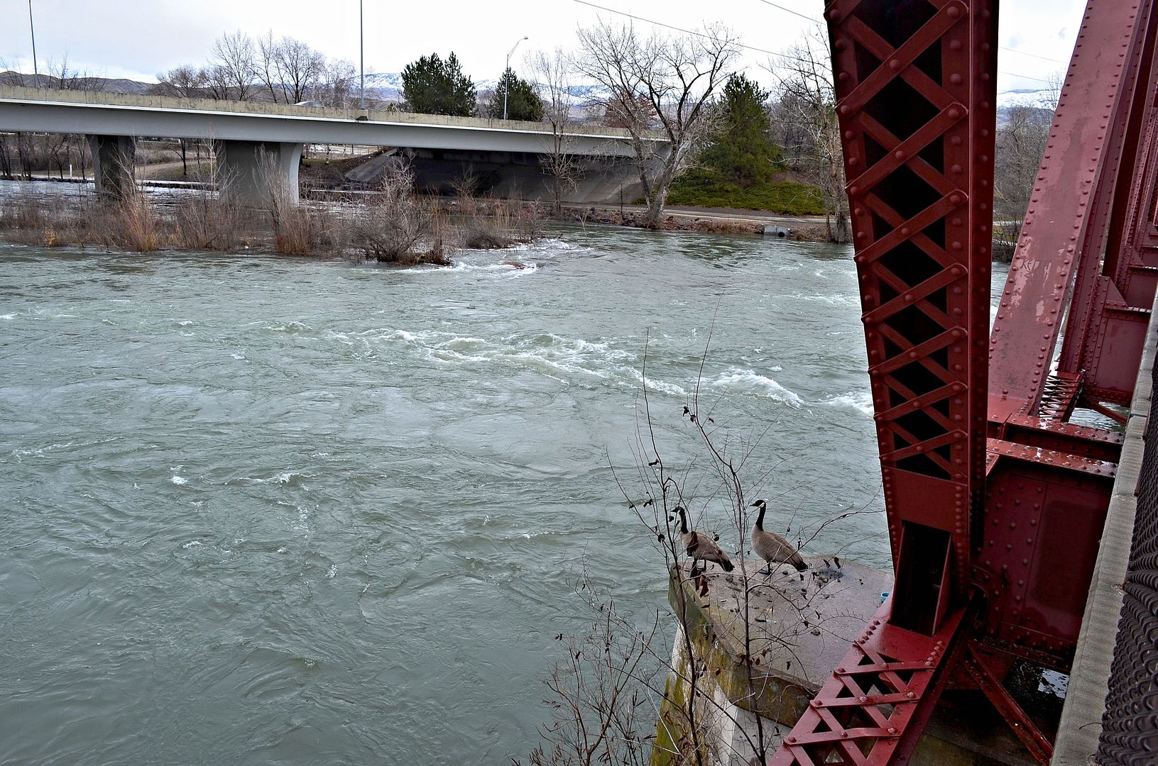 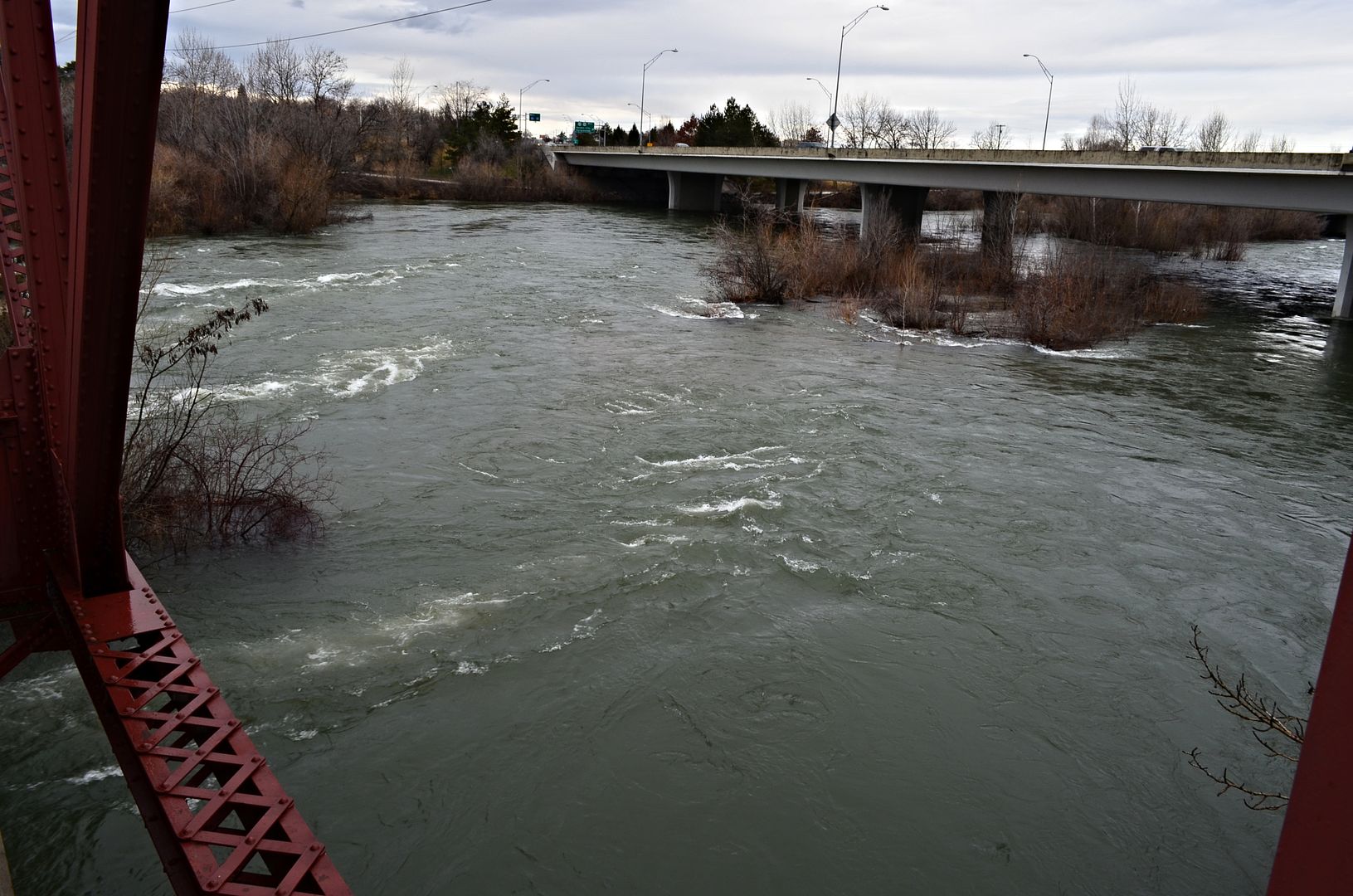 Near Broadway Avenue 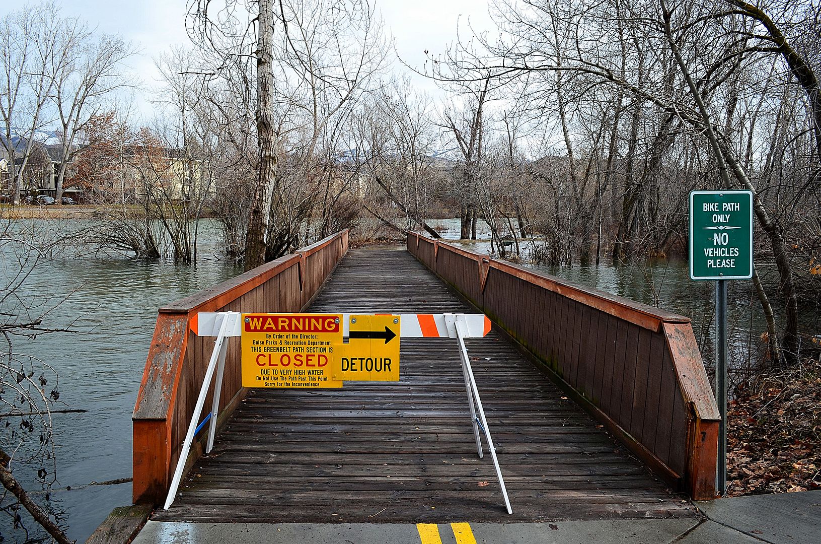 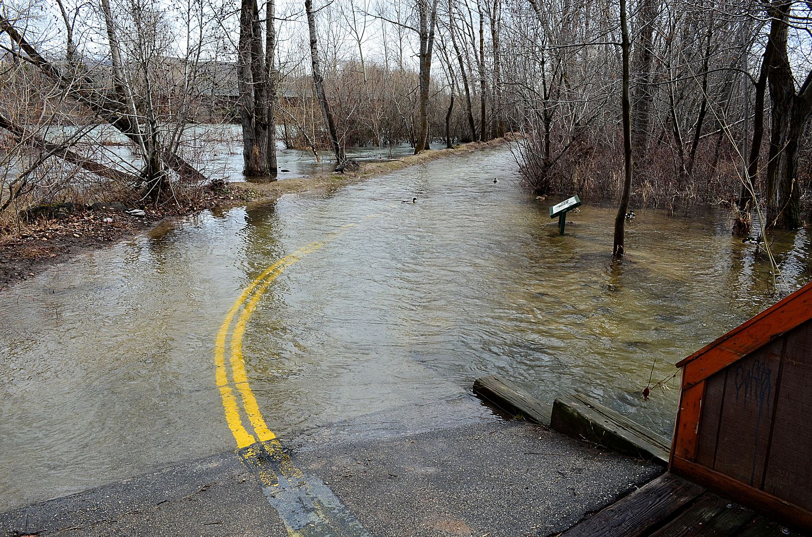 The ducks think they are so cool because they can swim over the Greenbelt. 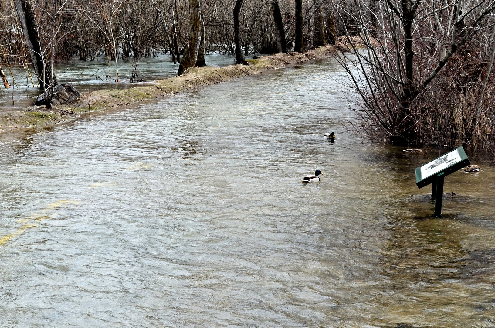 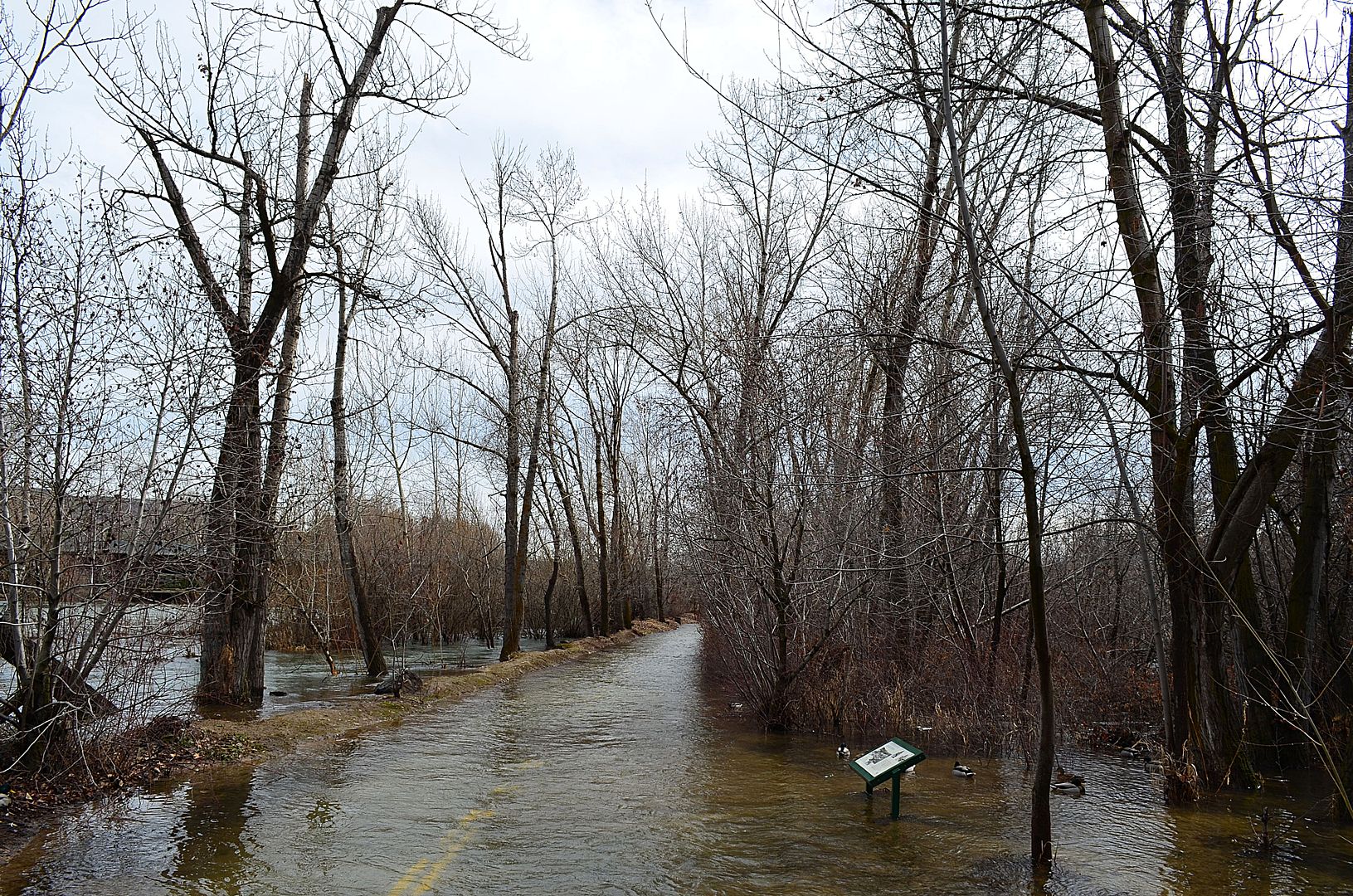 The same stretch to the left of that little island on the south side of the river as seen from the West Parkcenter Boulevard Bridge. 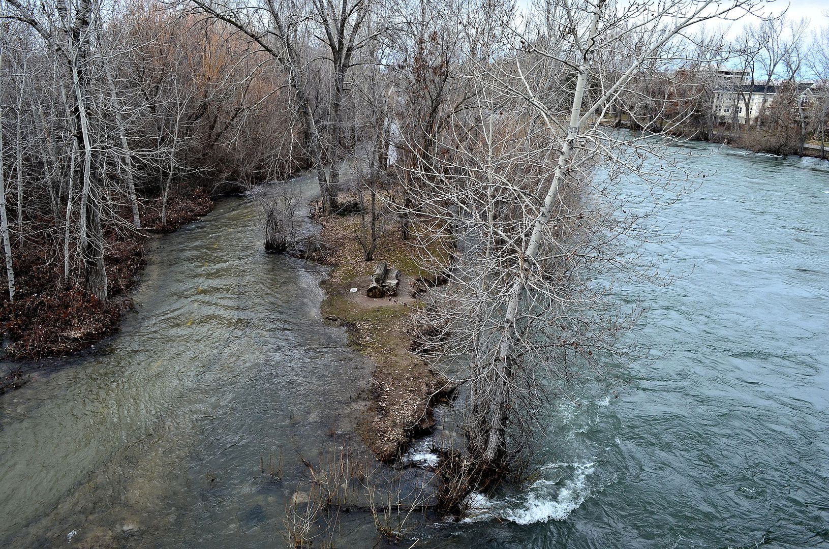 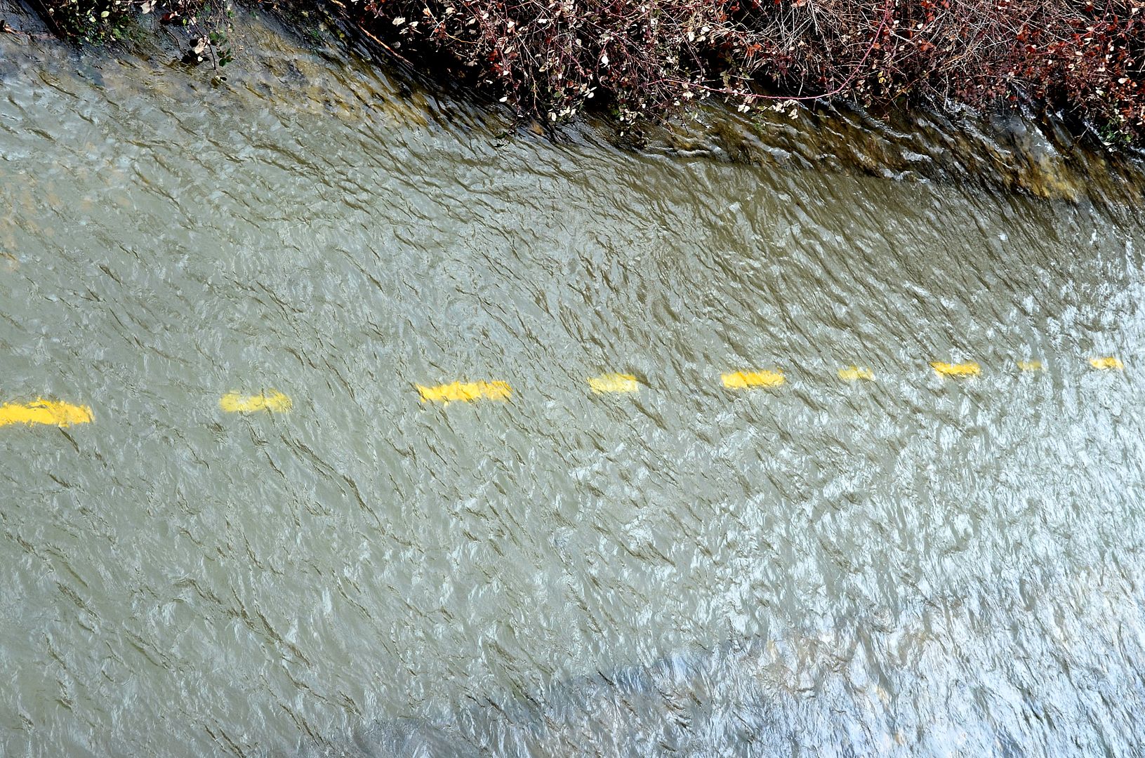 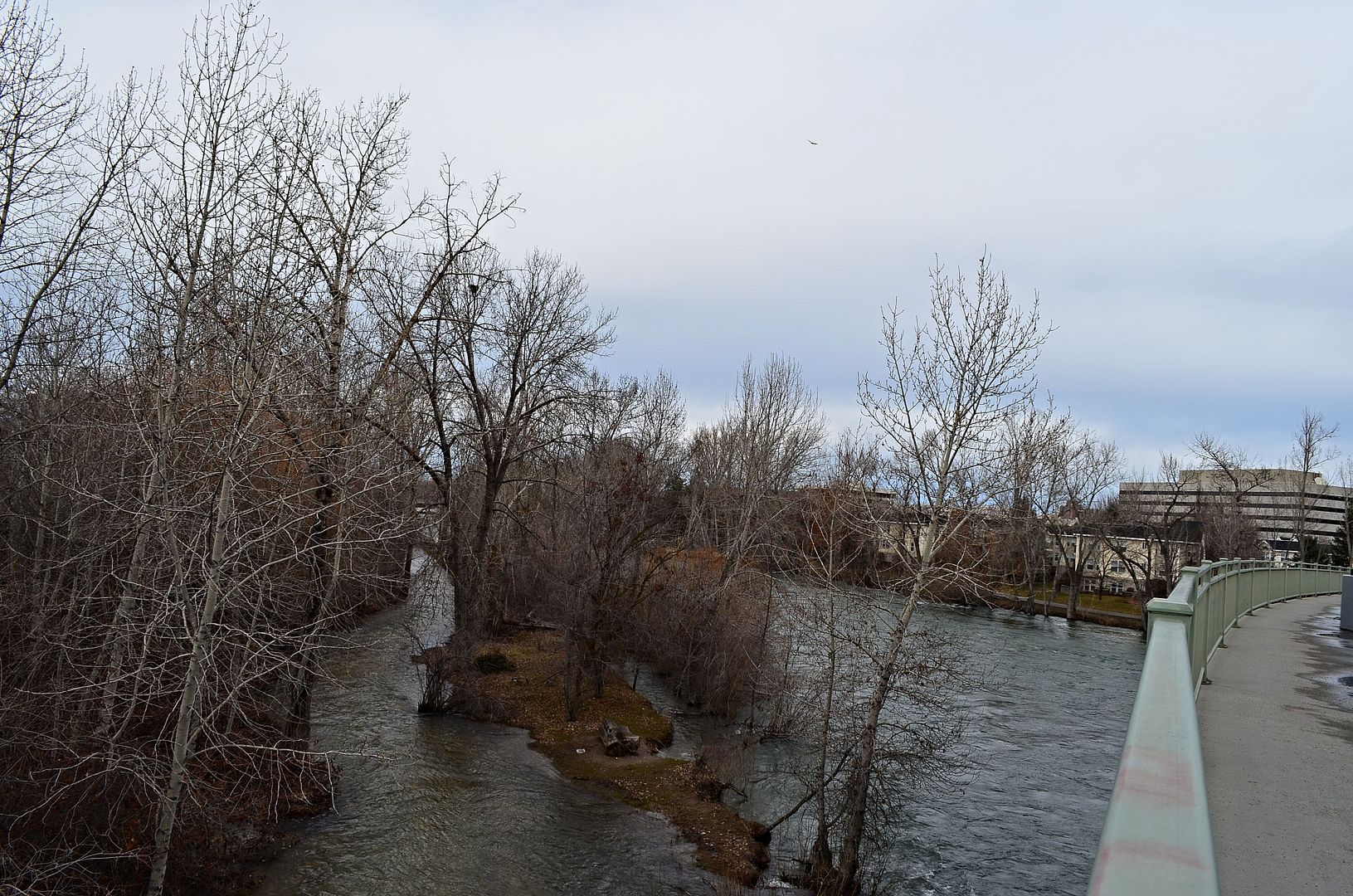 The Northern route is dry for now. 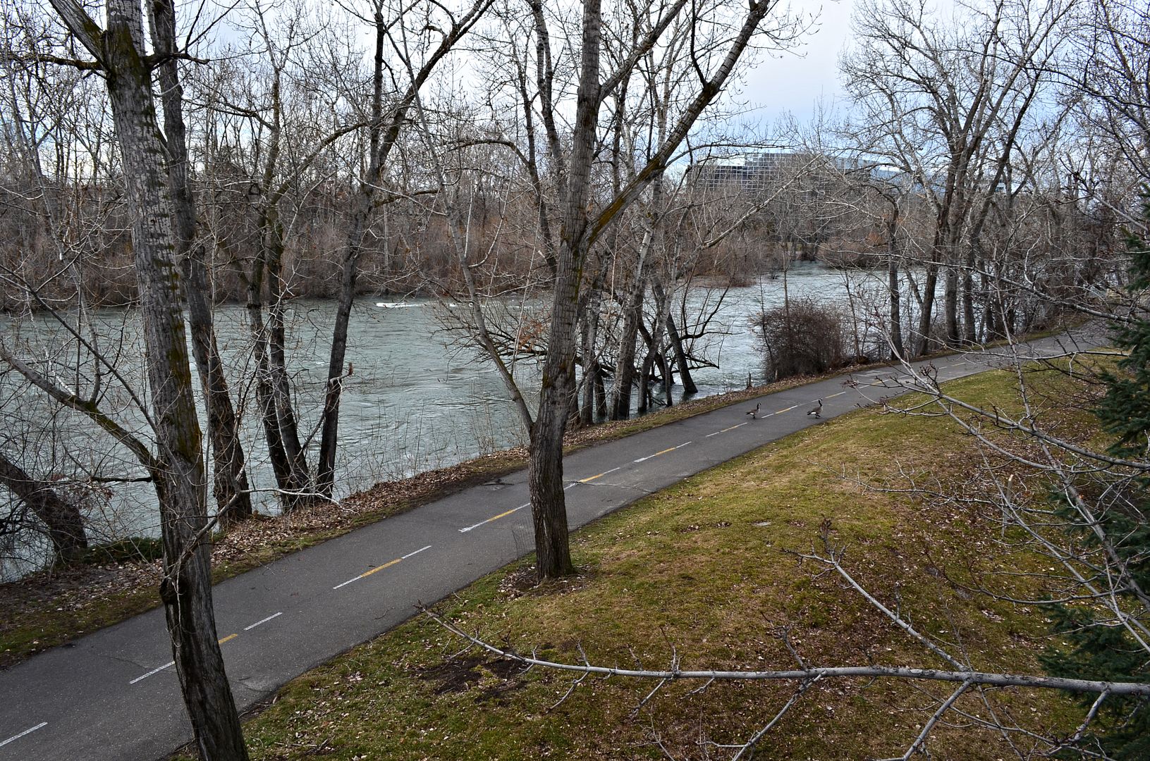 Downstream towards Broadway Ave and Bronco Stadium. 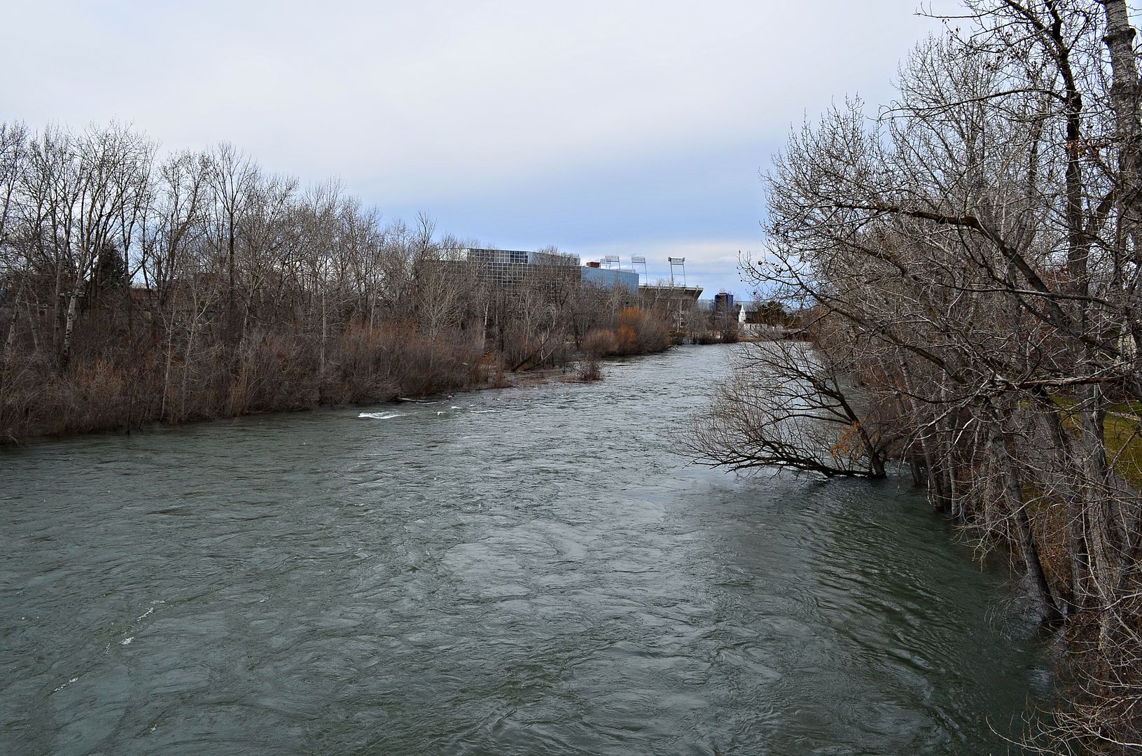 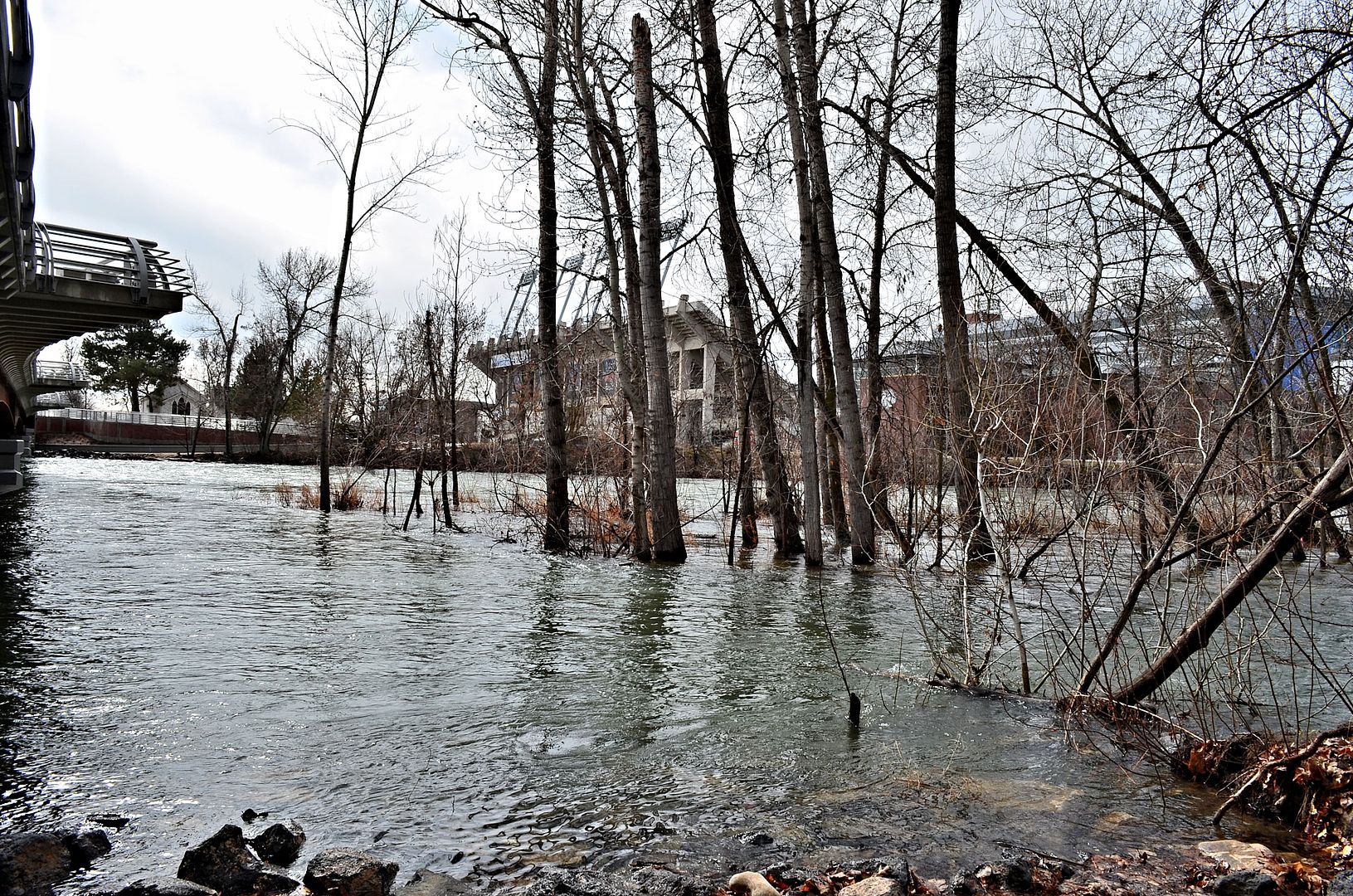 The Hunter Bald Eagles are common along The Boise River during the winter months. 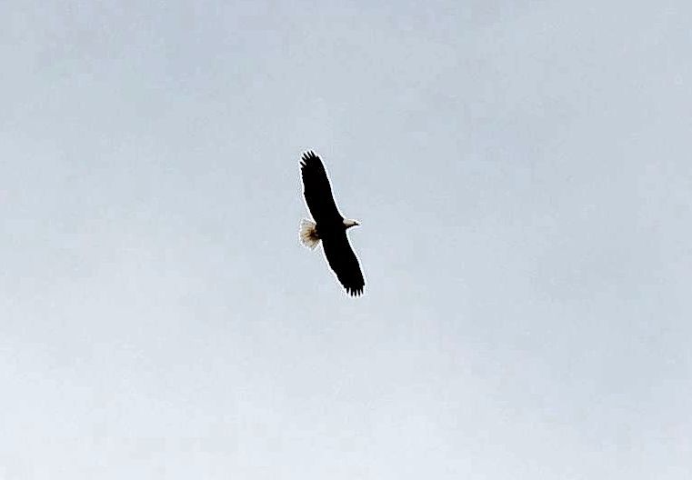 Coming soon.....hundreds upon hundreds of ducklings 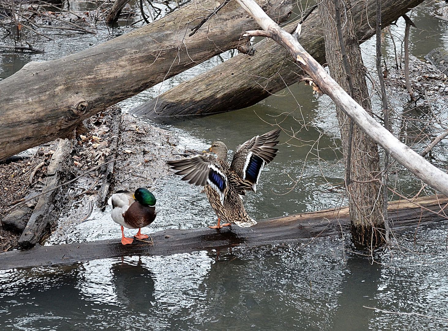 Strike a Pose 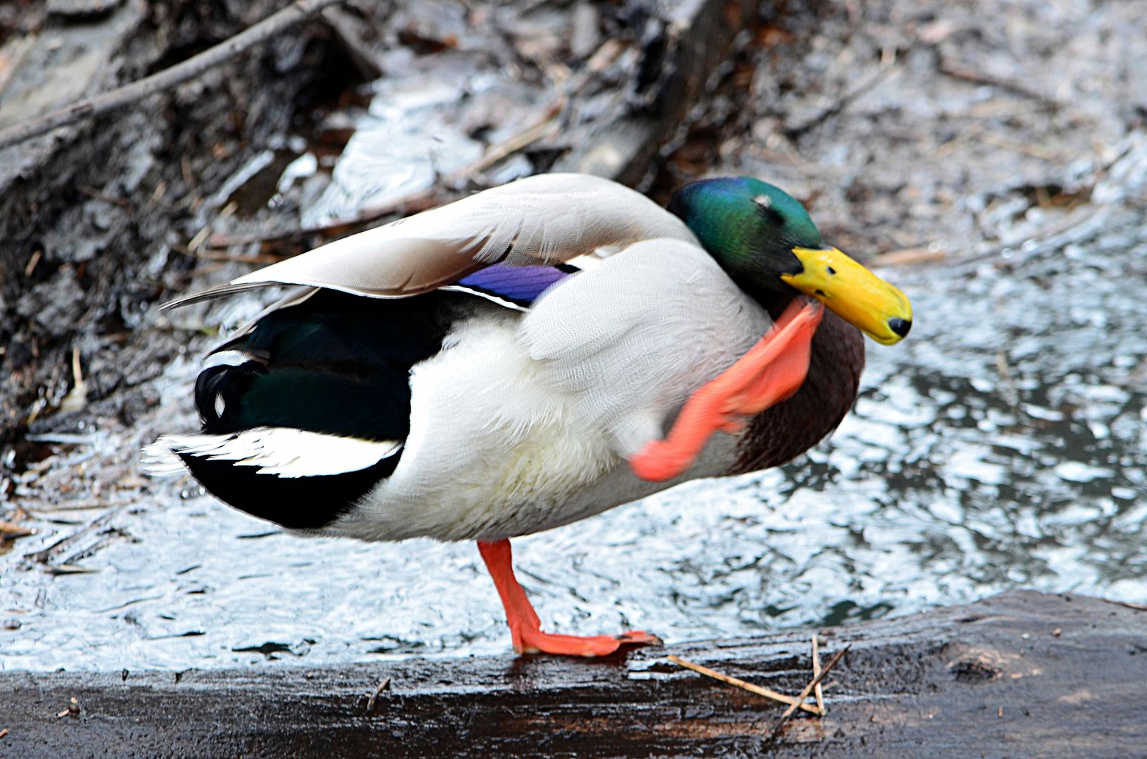 Up next, the new Broadway Bridge with views. |
The awesome force of nature!! I look forward to seeing the different stages of the river. Hopefully, it won't be too catastrophic.
|
Quote:
I bet more of the Greenbelt closes soon, especially the tunnels under the bridges. |
The flashy new Broadway Bridge:siren: March 4 Boise State on the left, Julia Davis Park some Giraffe's and Downtown on the right. 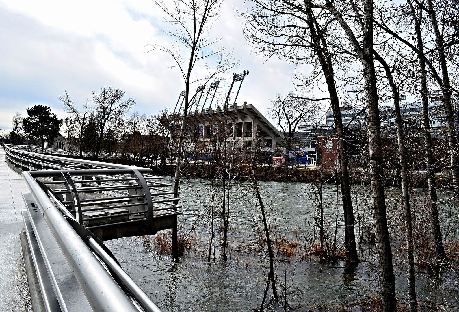 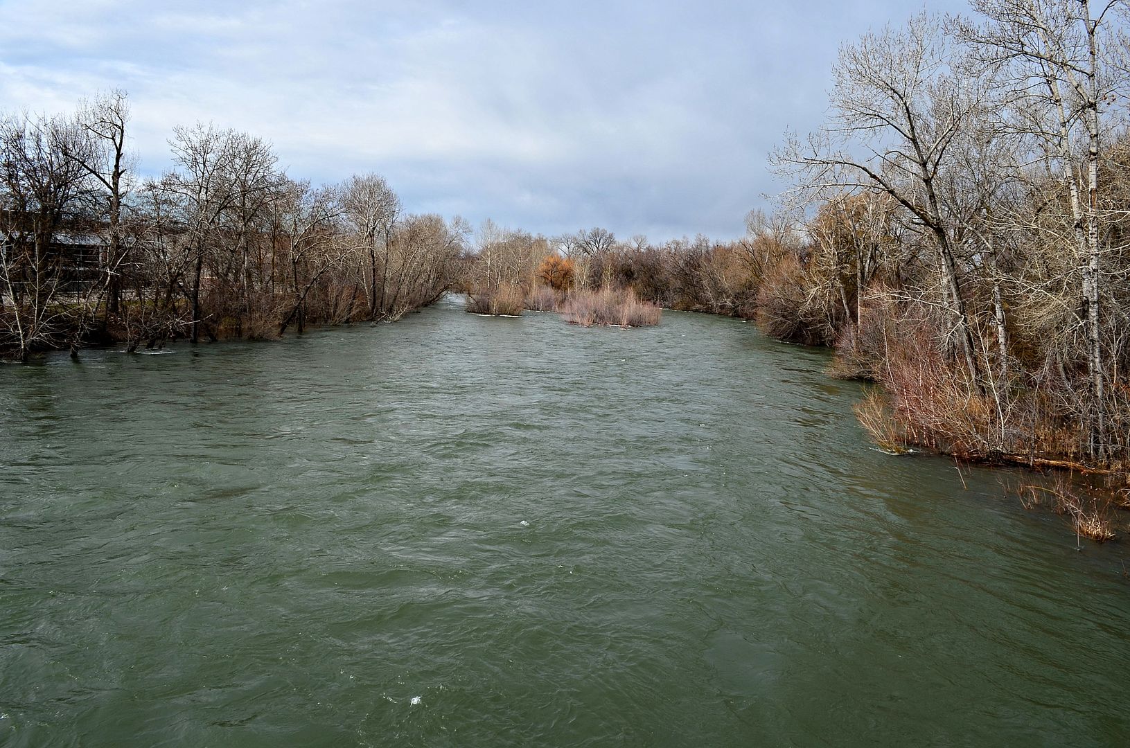 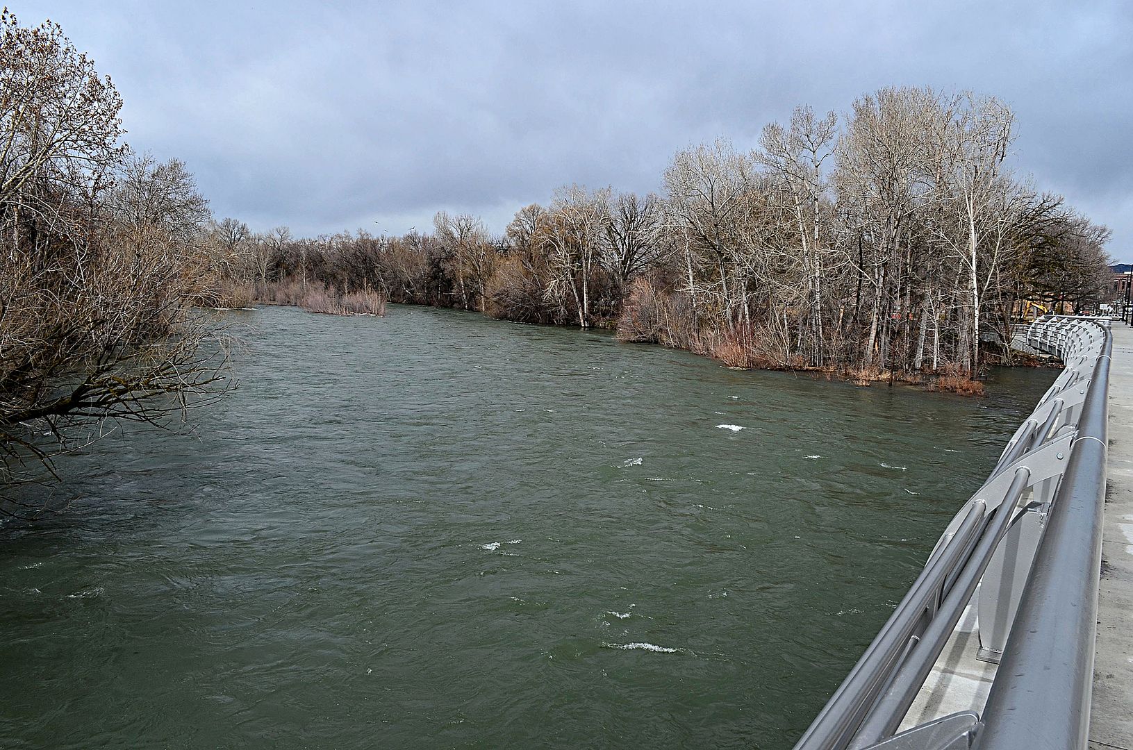 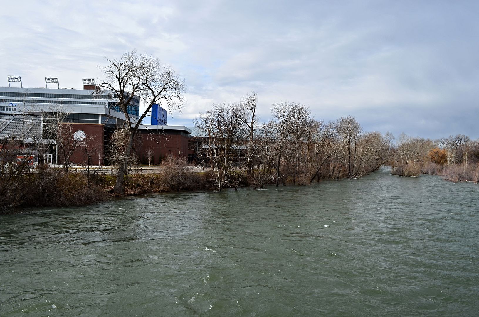 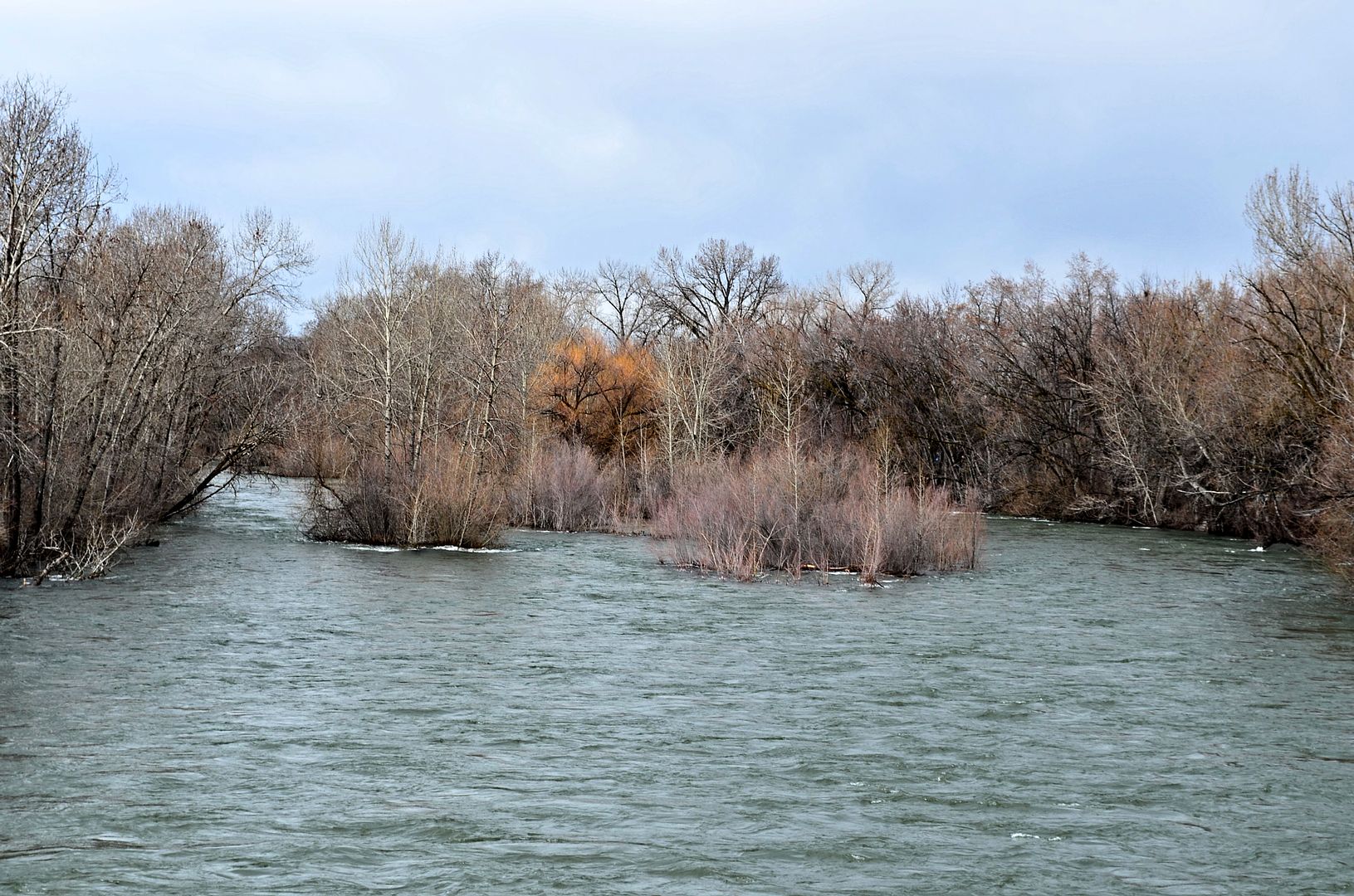 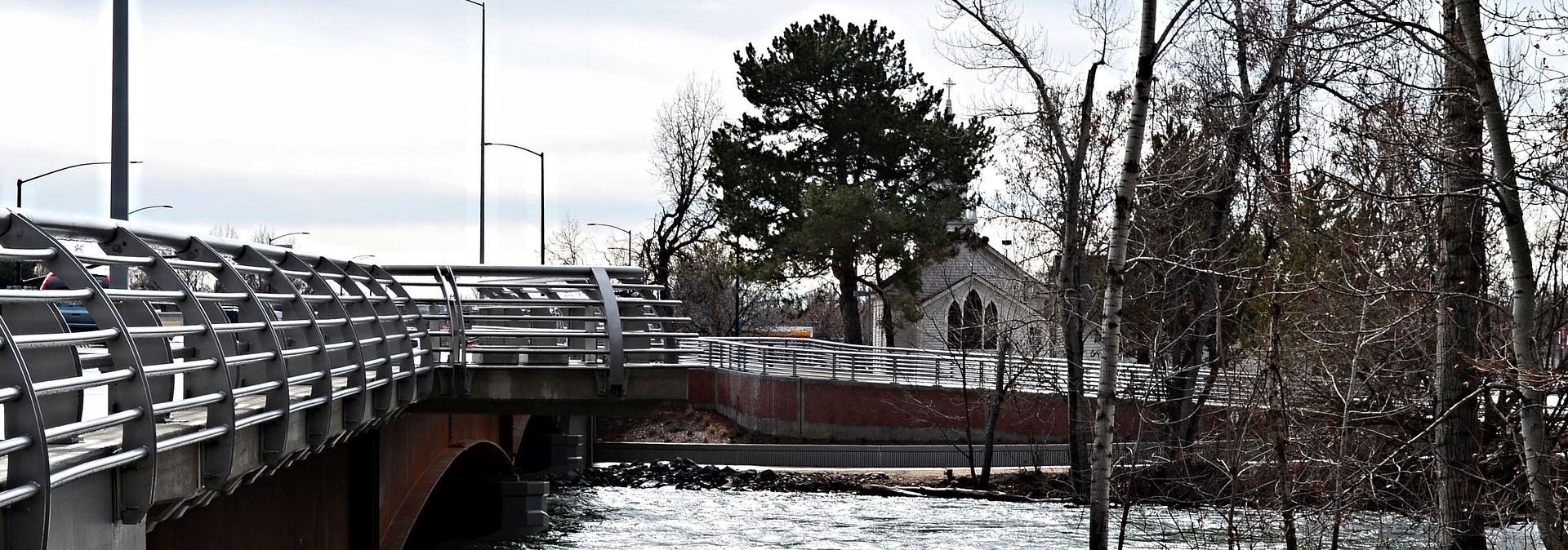 The Greenbelt upgrades at the new bridge are nice. 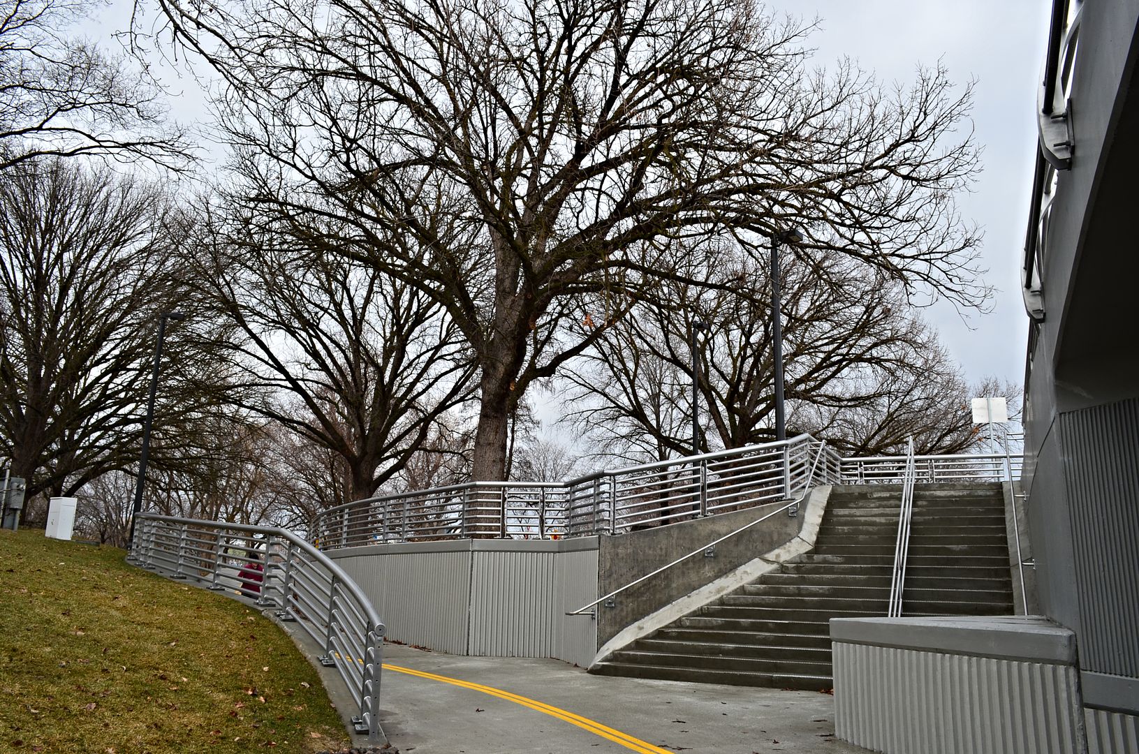 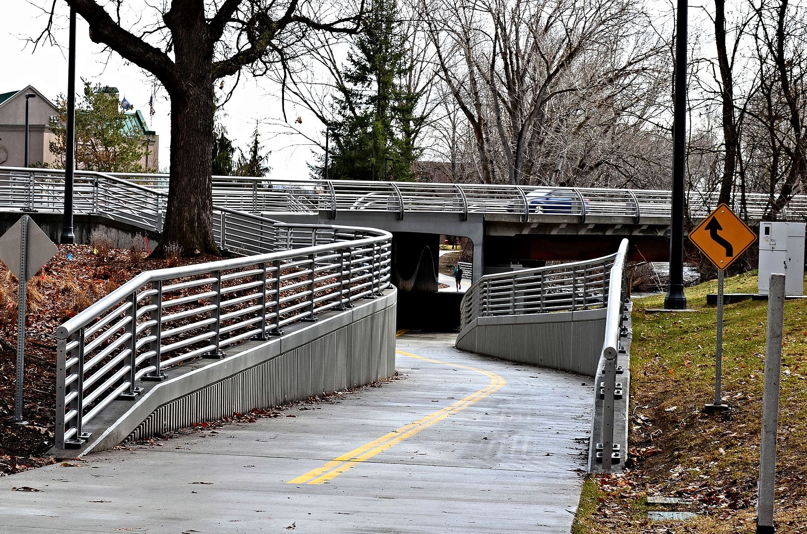 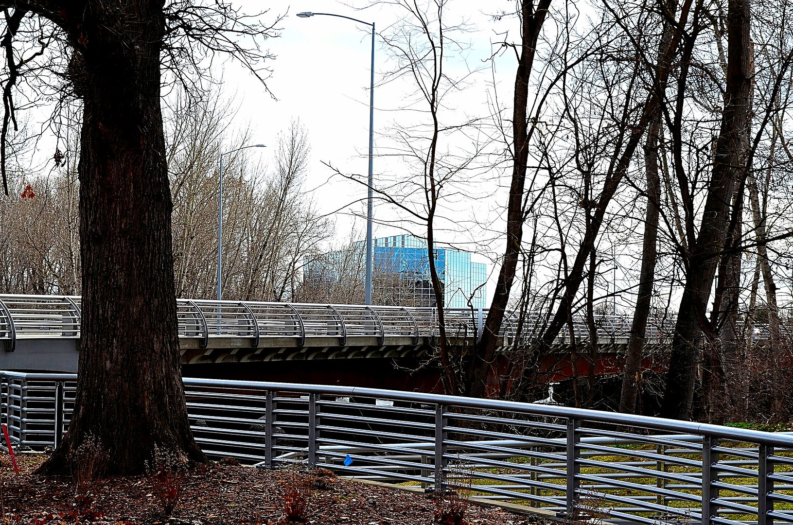 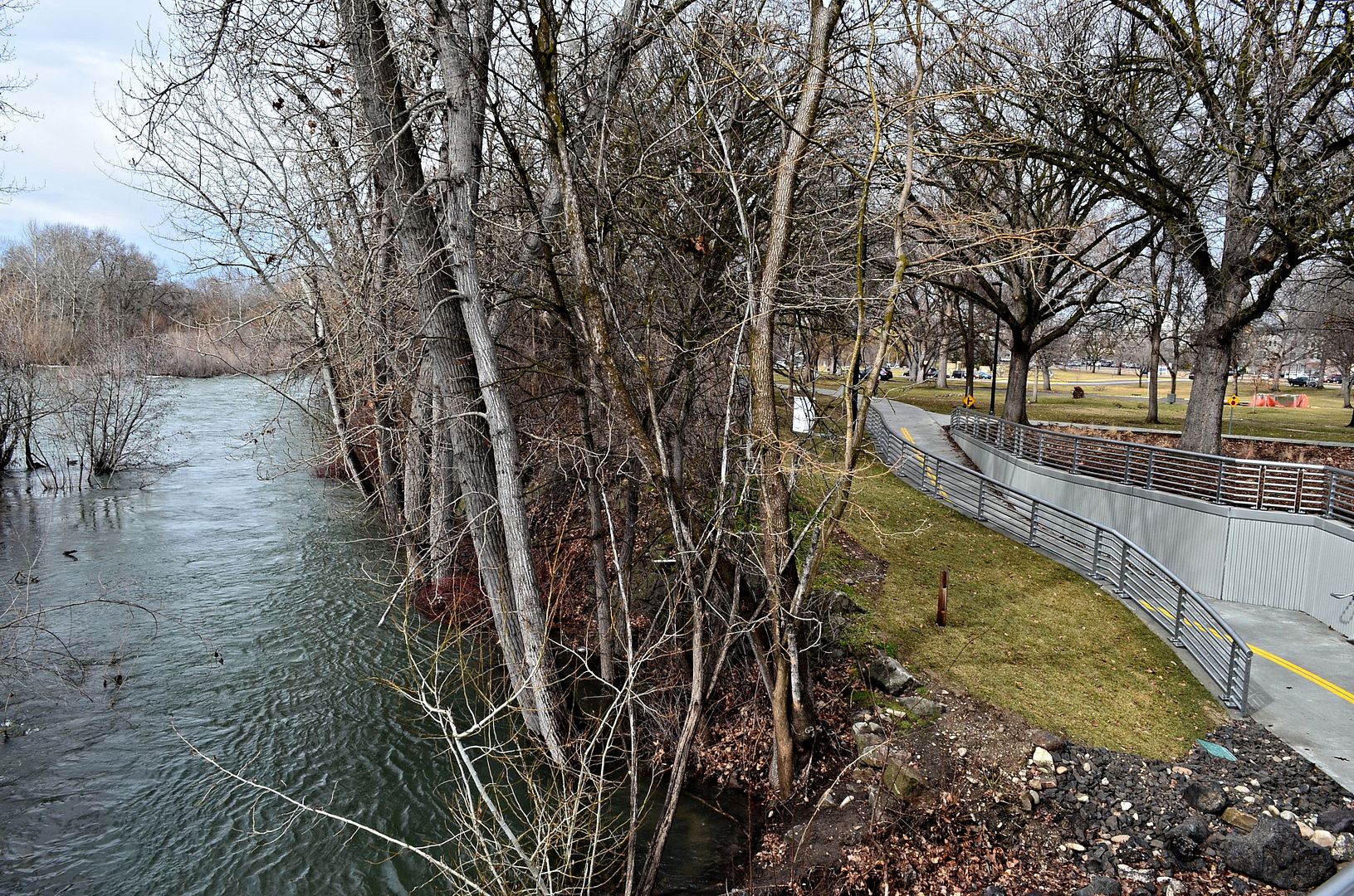 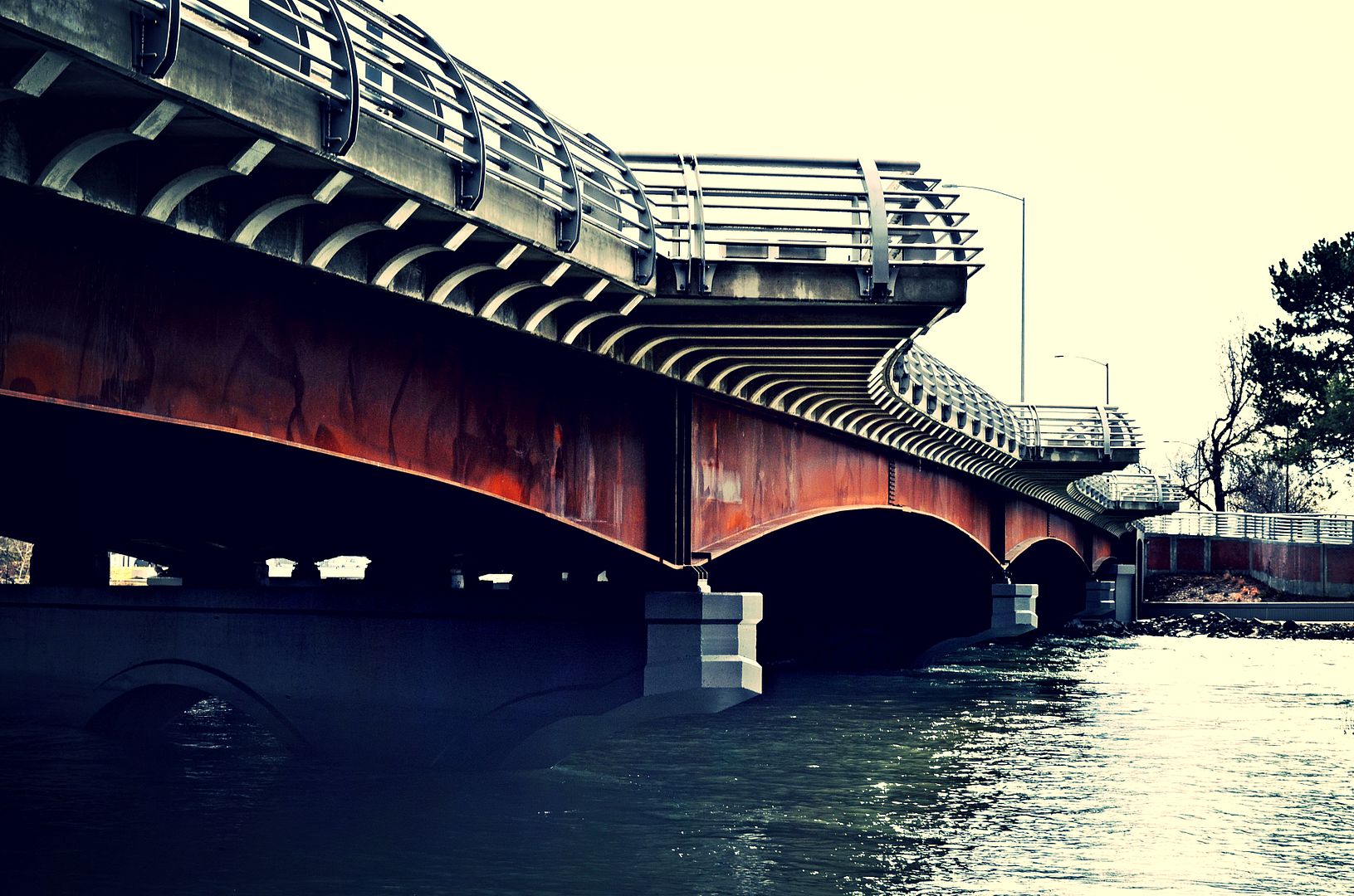 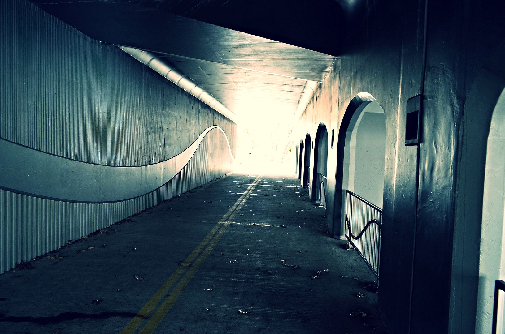 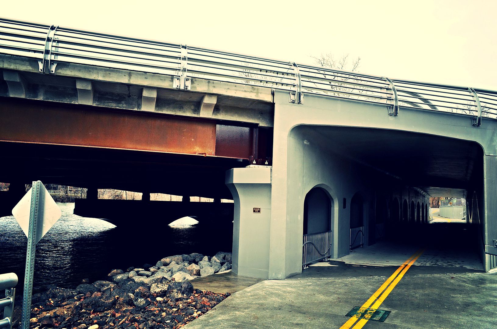 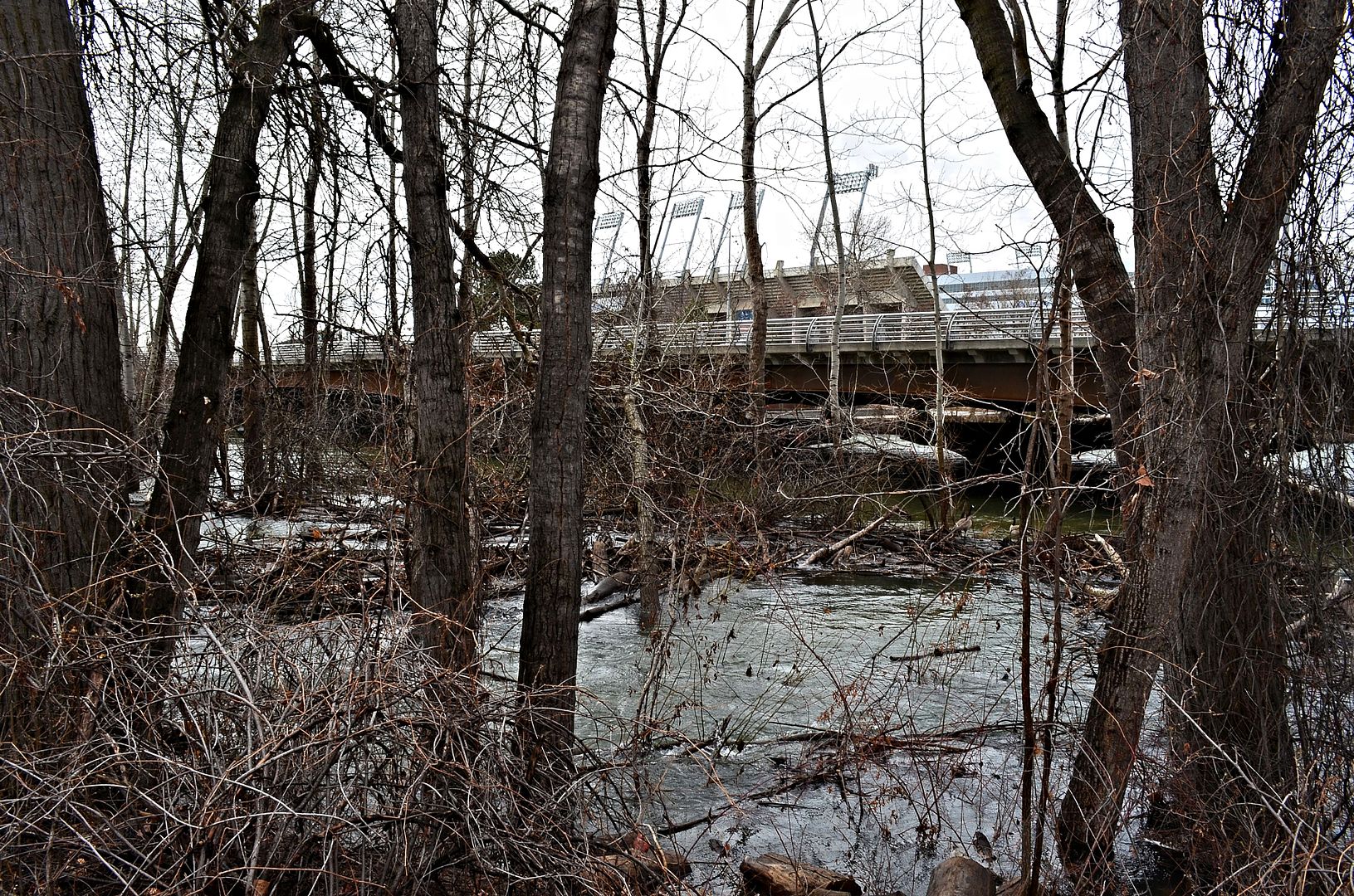 Capitol Boulevard Bridge/Oregon Trail Memorial Bridge Always looking classy 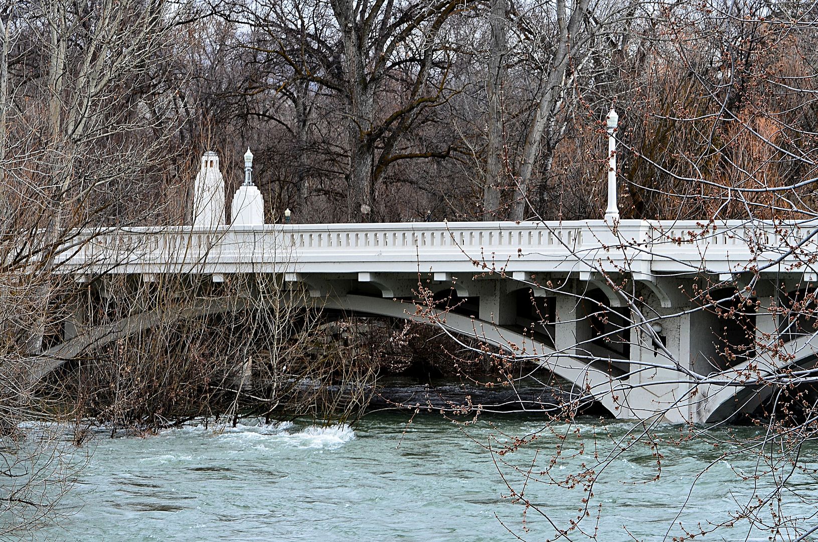 |
Good stuff Sawtooth.
Looks like some of those mansion owners in the flood plains in Eagle need to get prepared. http://www.idahostatesman.com/news/l...137062958.html February snow dump forces dam managers to raise Boise River again, to above flood stage Quote:
Read more here: http://www.idahostatesman.com/news/l...#storylink=cpy |
March 9 The Greenbelt @ The Glenwood Bridge Garden City 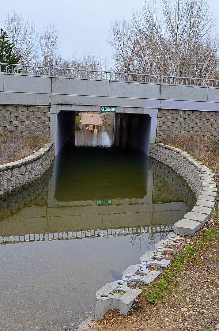 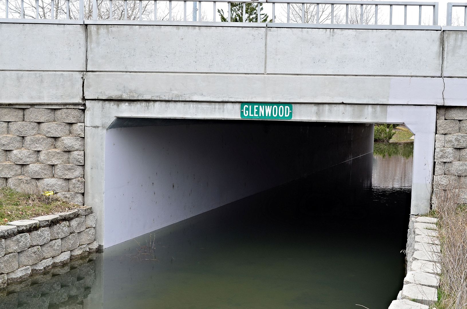 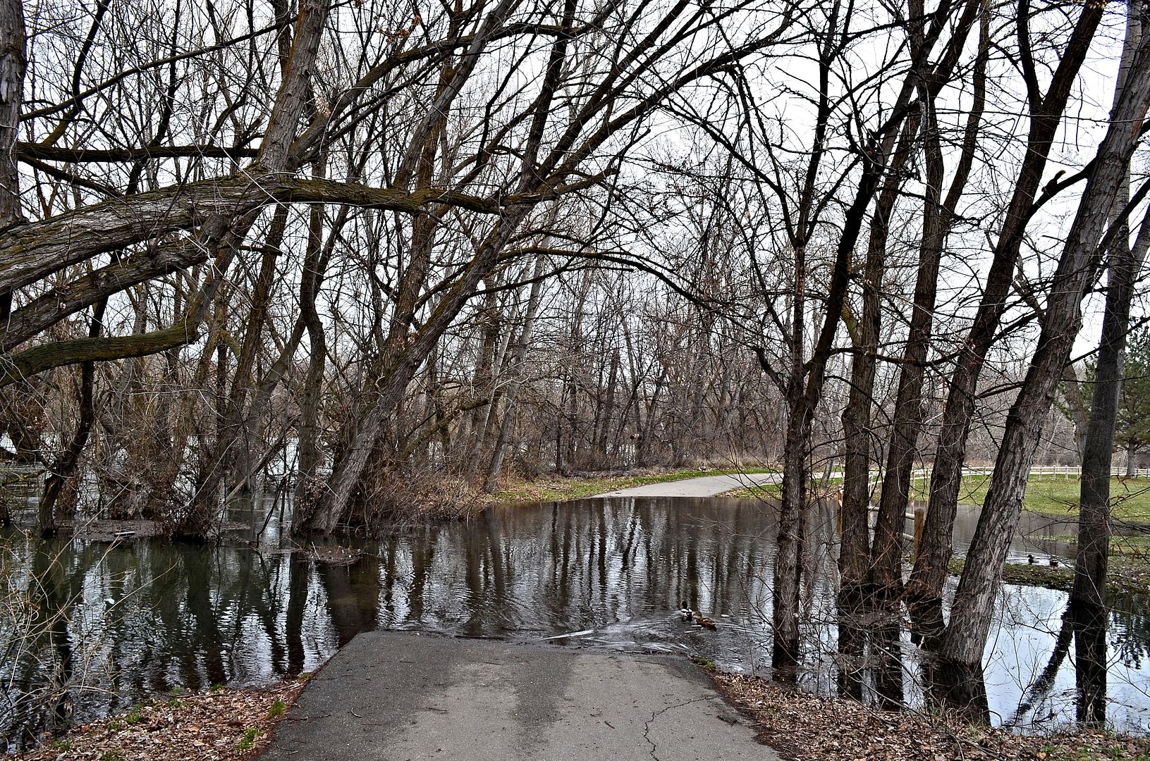 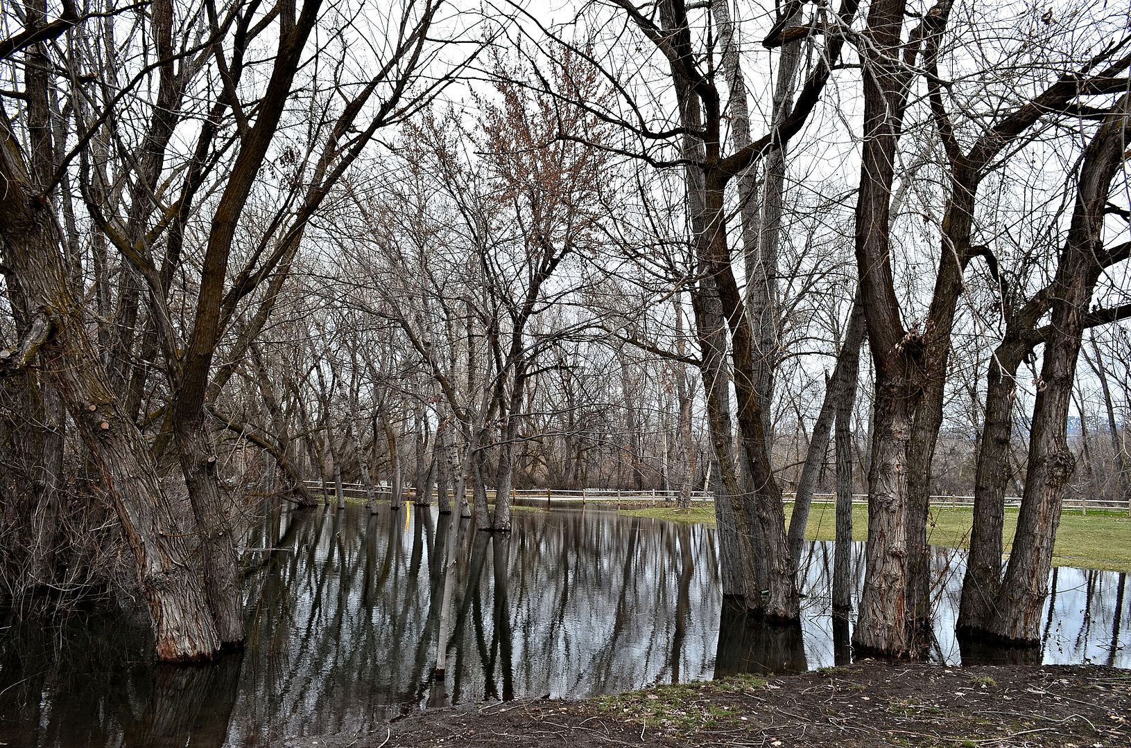 The Boise Whitewater Park is under water 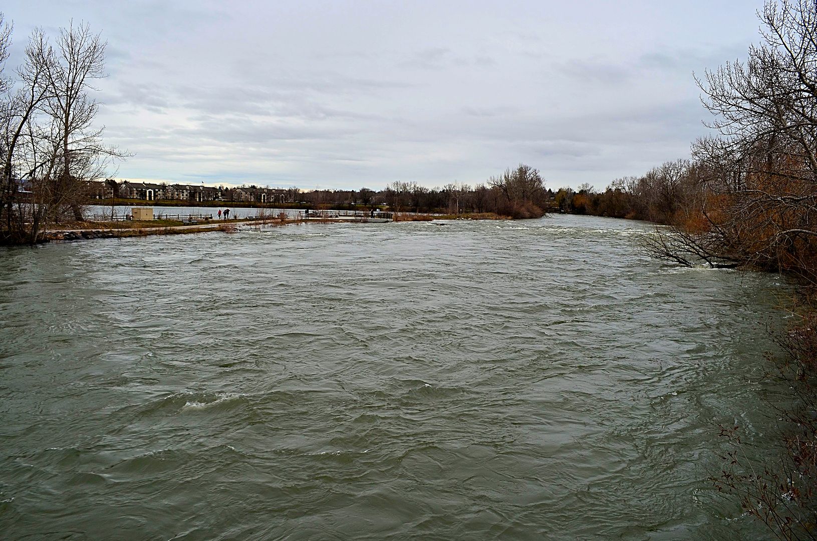 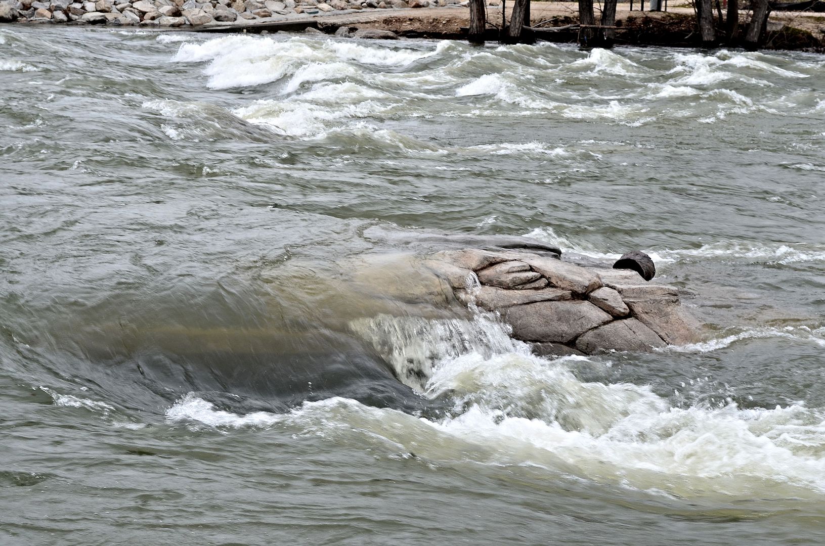 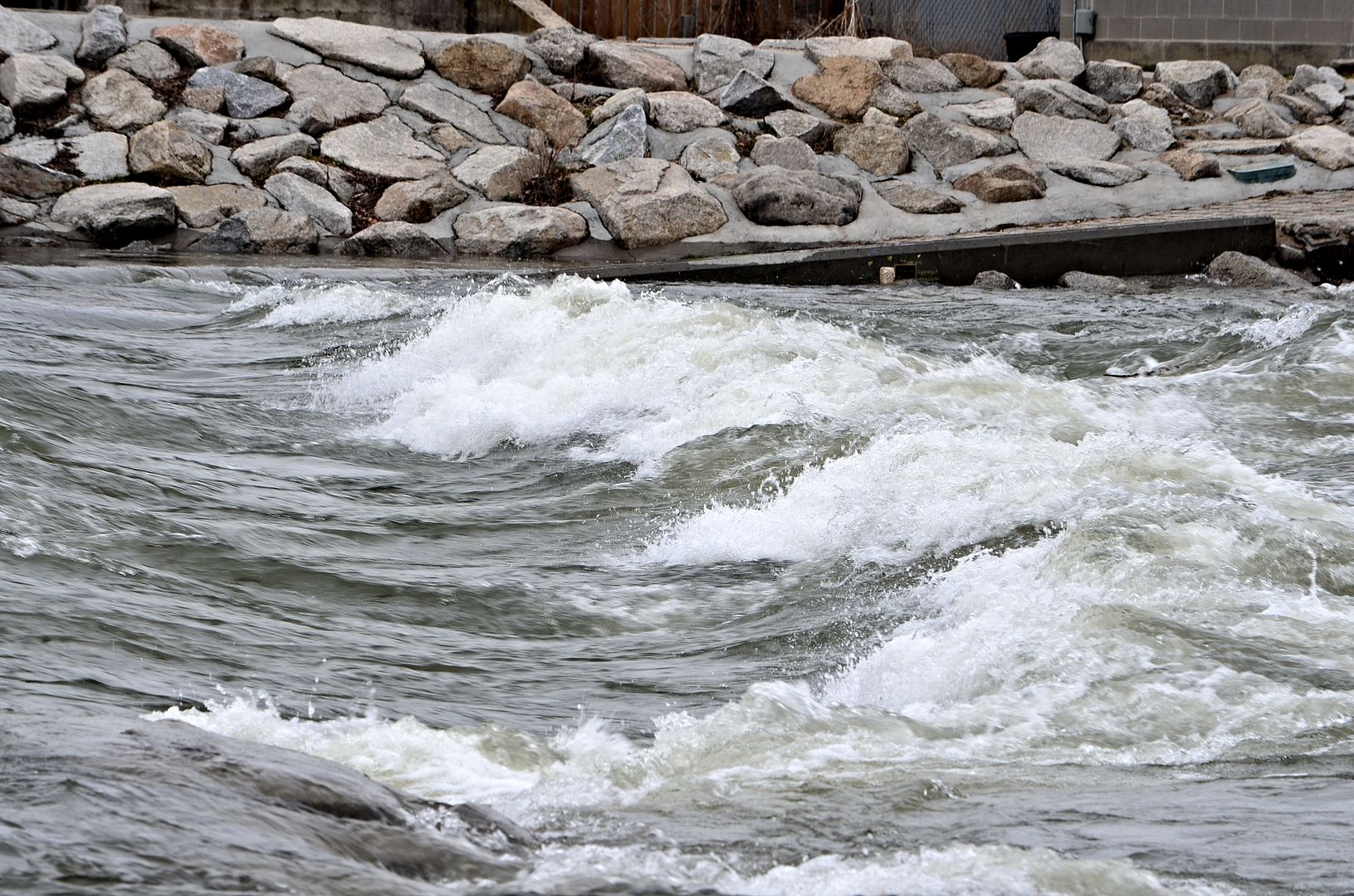  36th Street Greenbelt footbridge 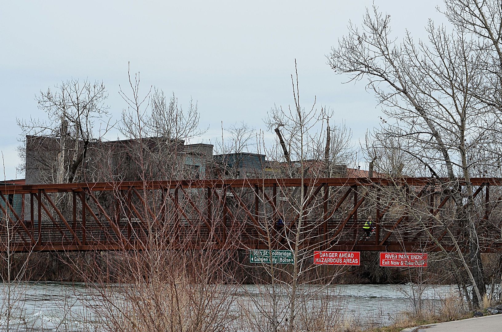 Riverside architecture  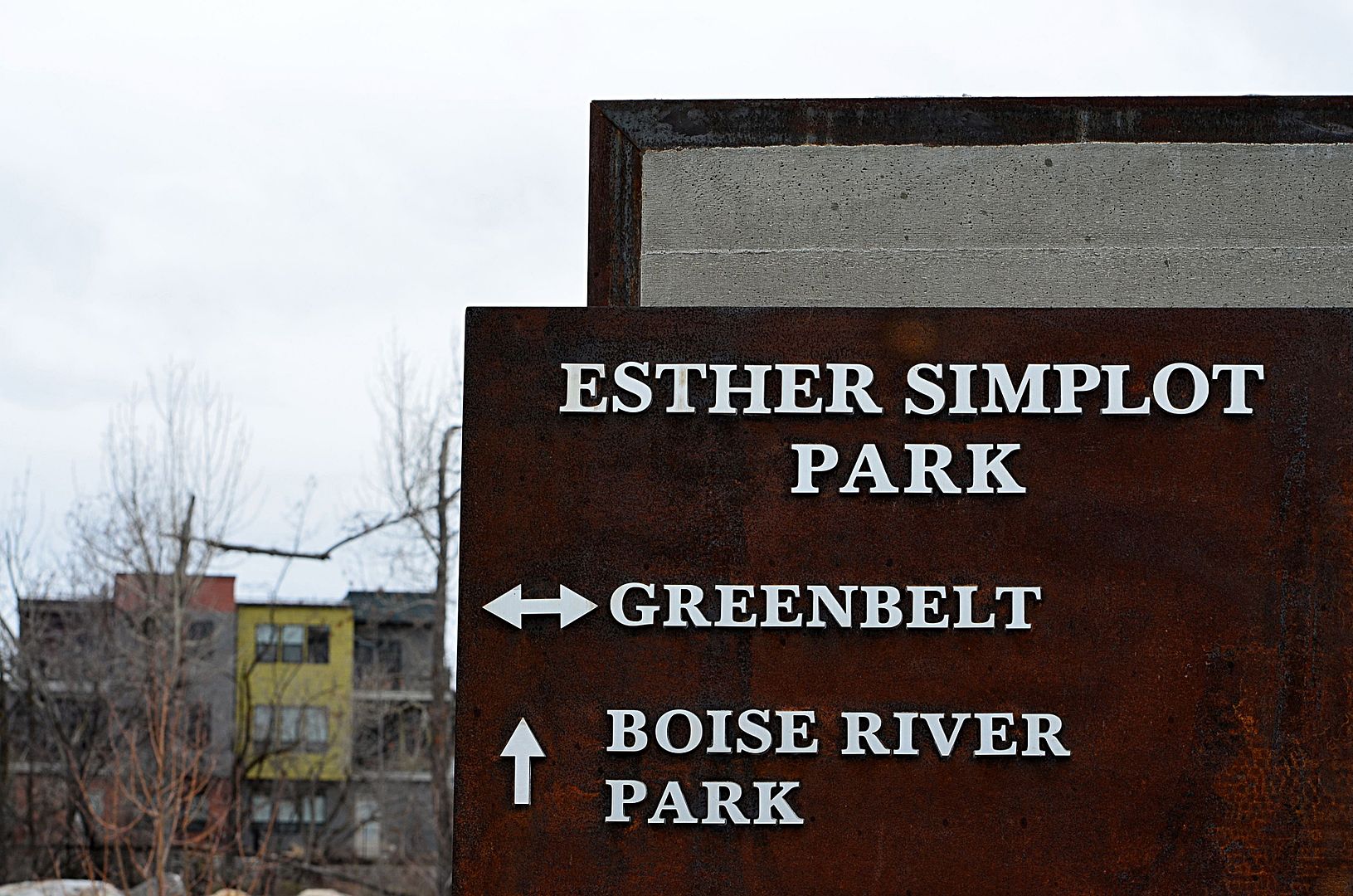 Looking up @ The Boise Ridge 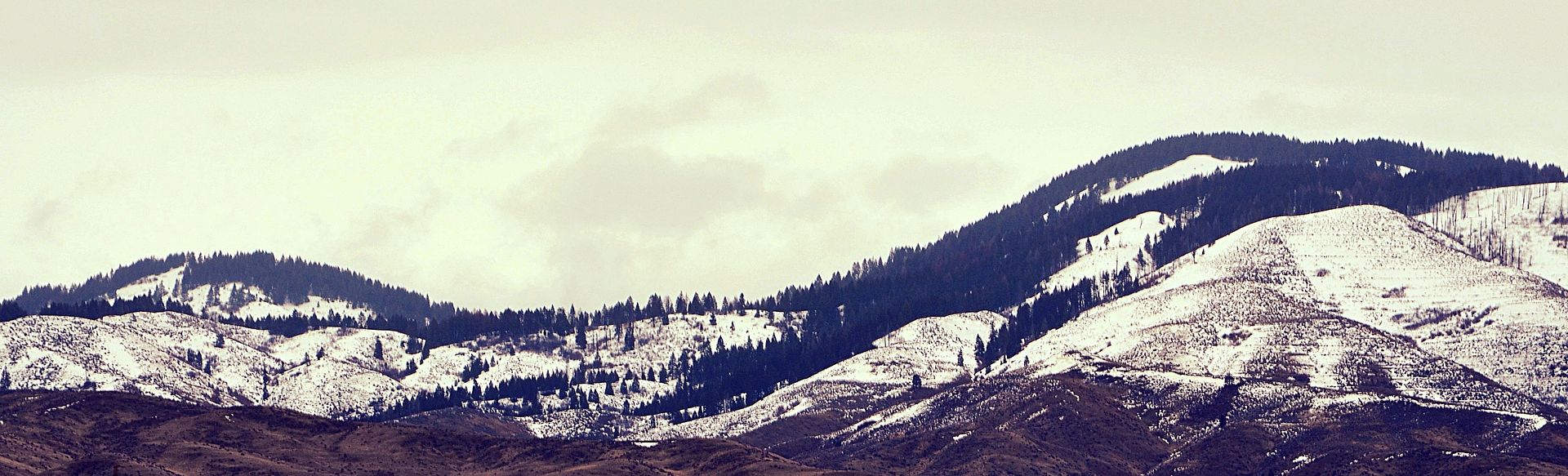 |
I have always admired the strength of this tree in the river downtown between Capitol Boulevard and the 8th Street Greenbelt Bridge. Year after year it gets flooded during the runoff yet it remains rooted in the Boise River. March 11 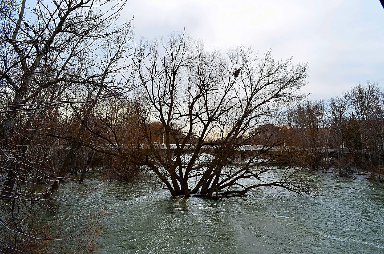 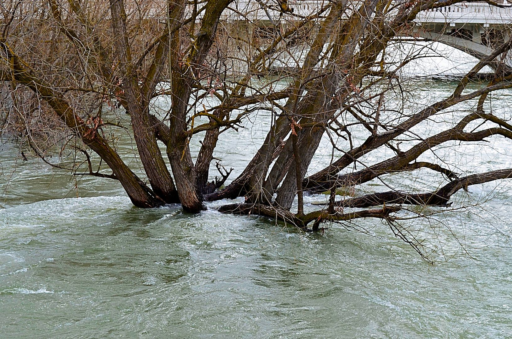 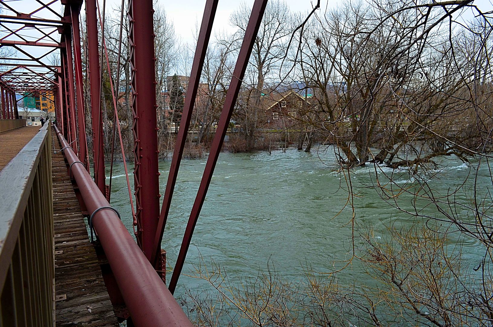 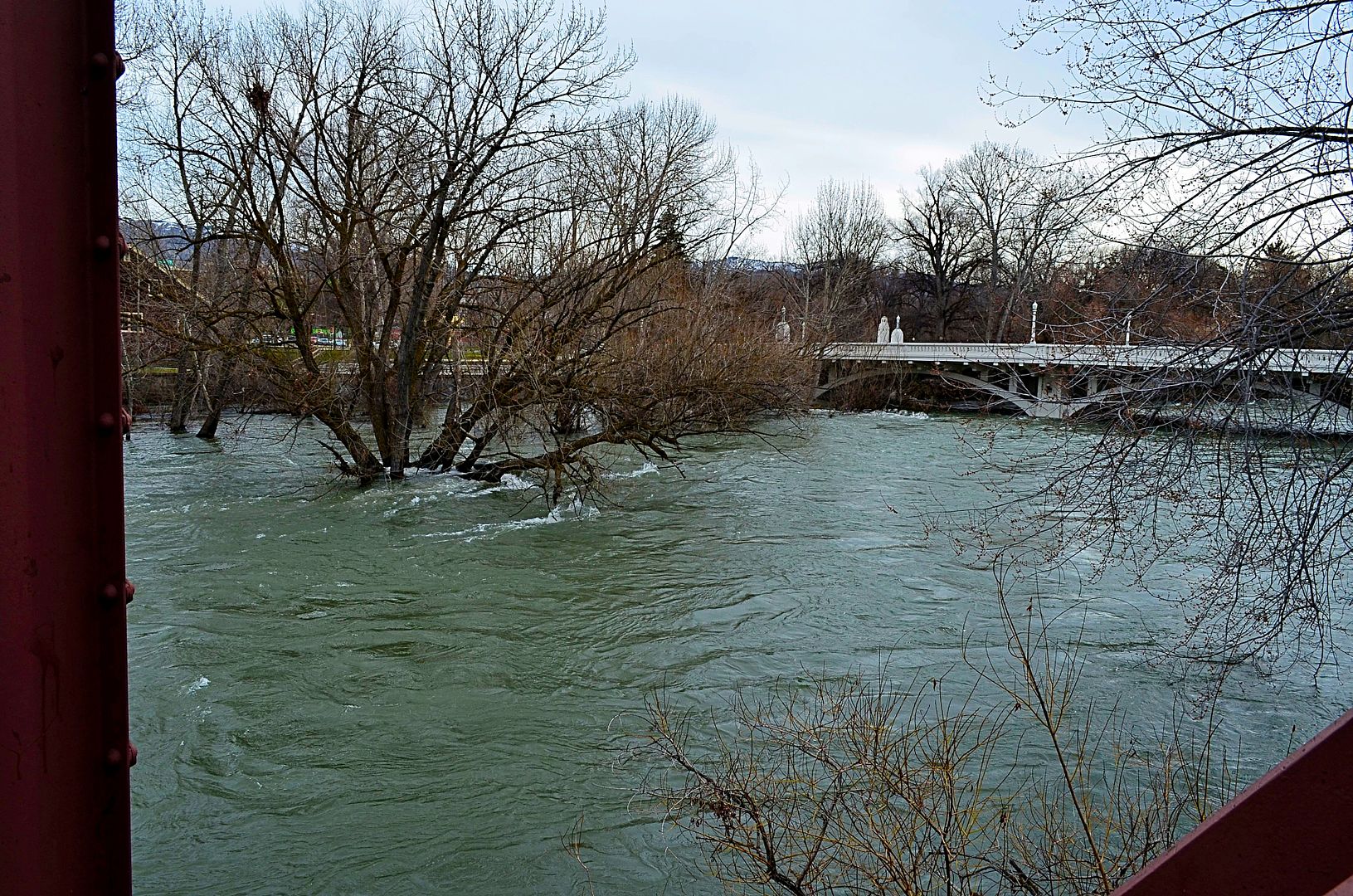 uh oh 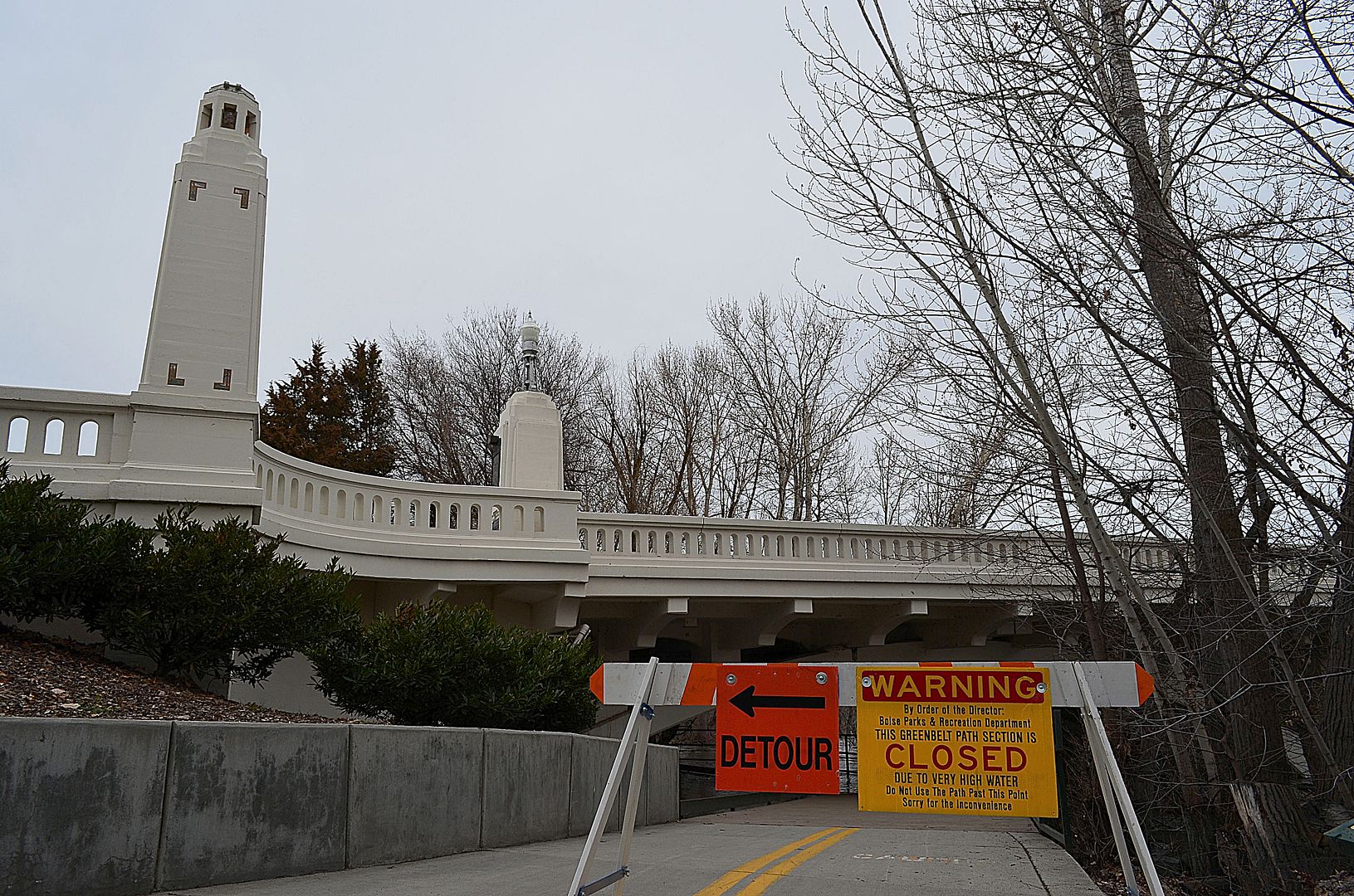 |
Awesome. Looking forward to more!
|
Quote:
|
March 18 The Arboretum at Barber Station in East Boise, currently under construction, is located next to the Boise River Greenbelt and the river and is getting a taste of what spring runoff flooding is like and will be like in the future. https://www.facebook.com/arboretumboise/ Looing downstream towards downtown. 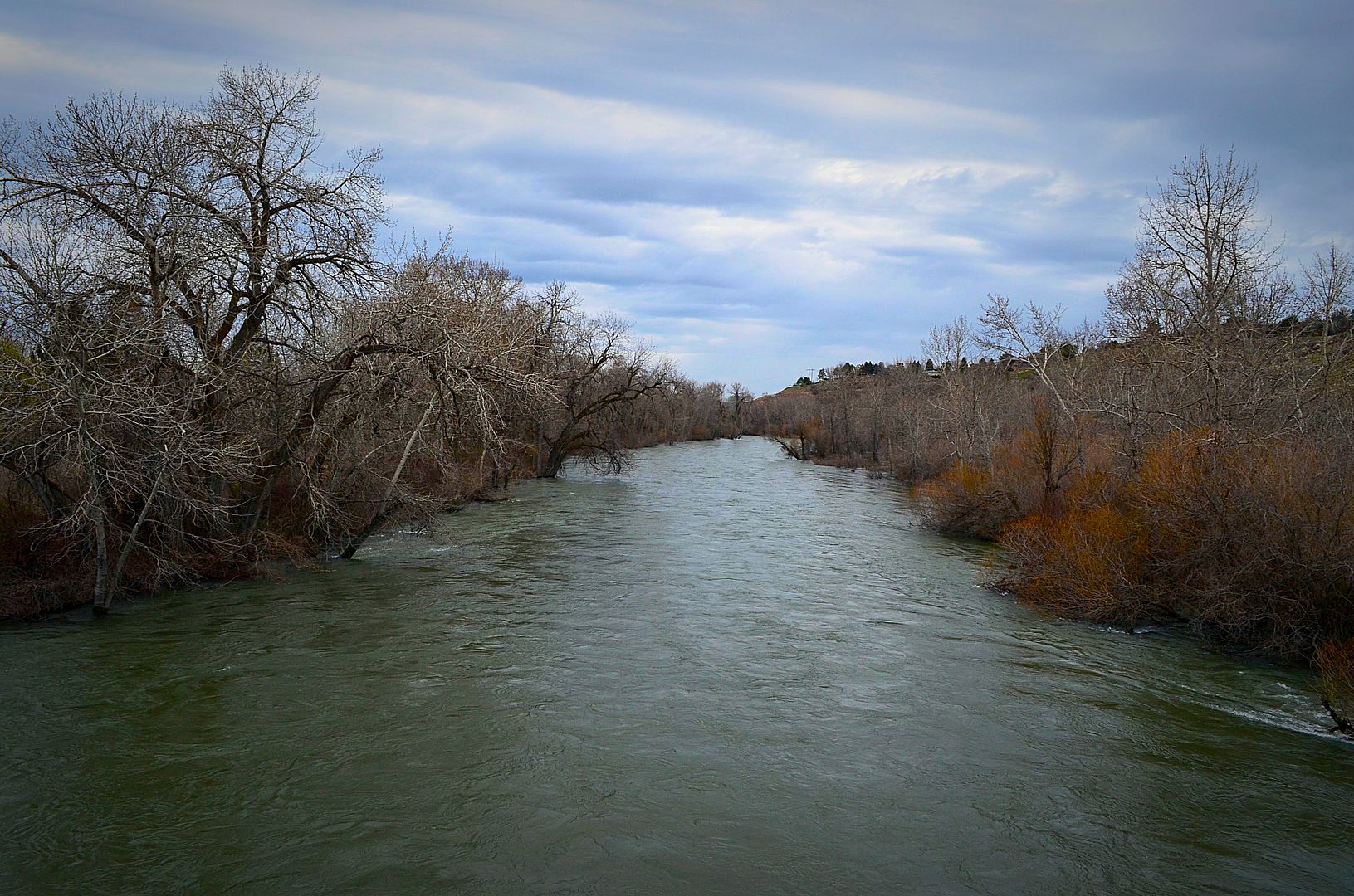 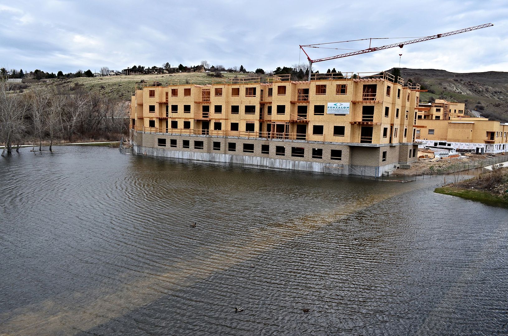 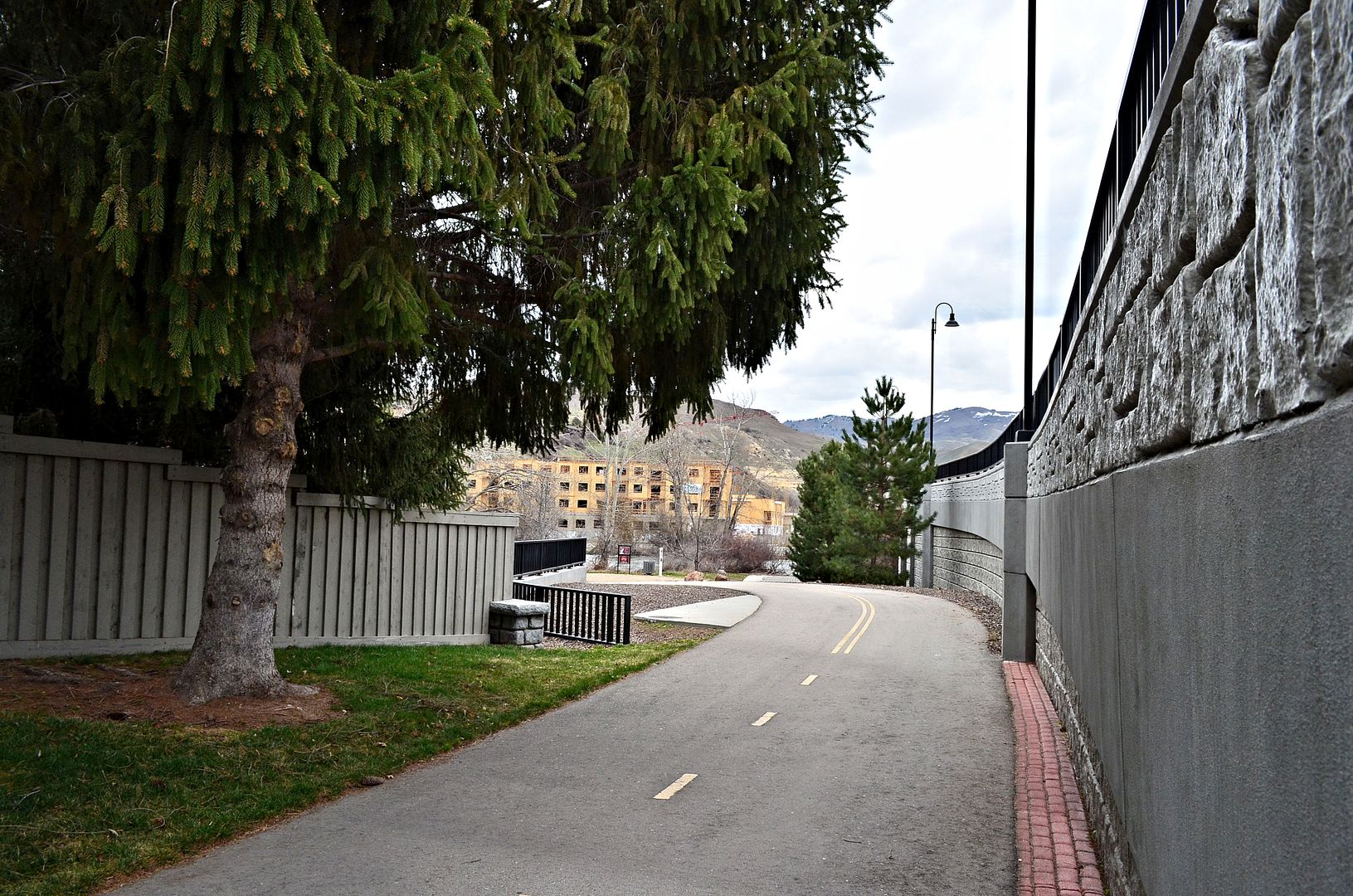 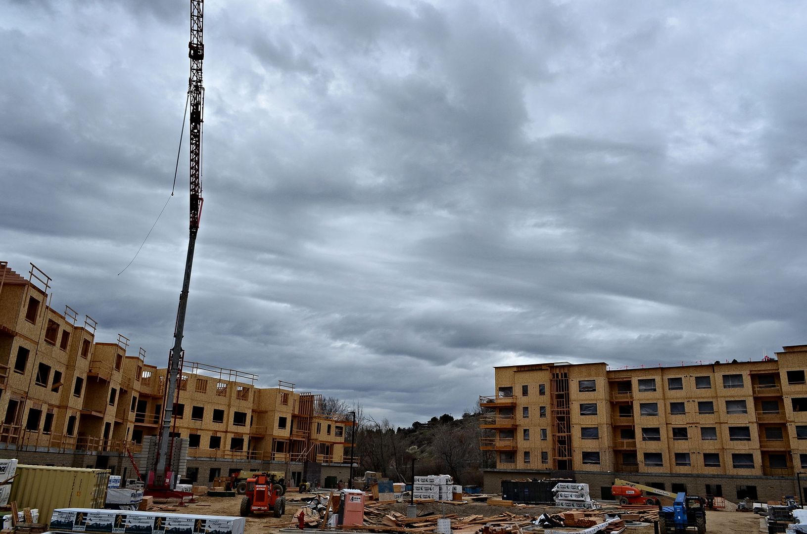 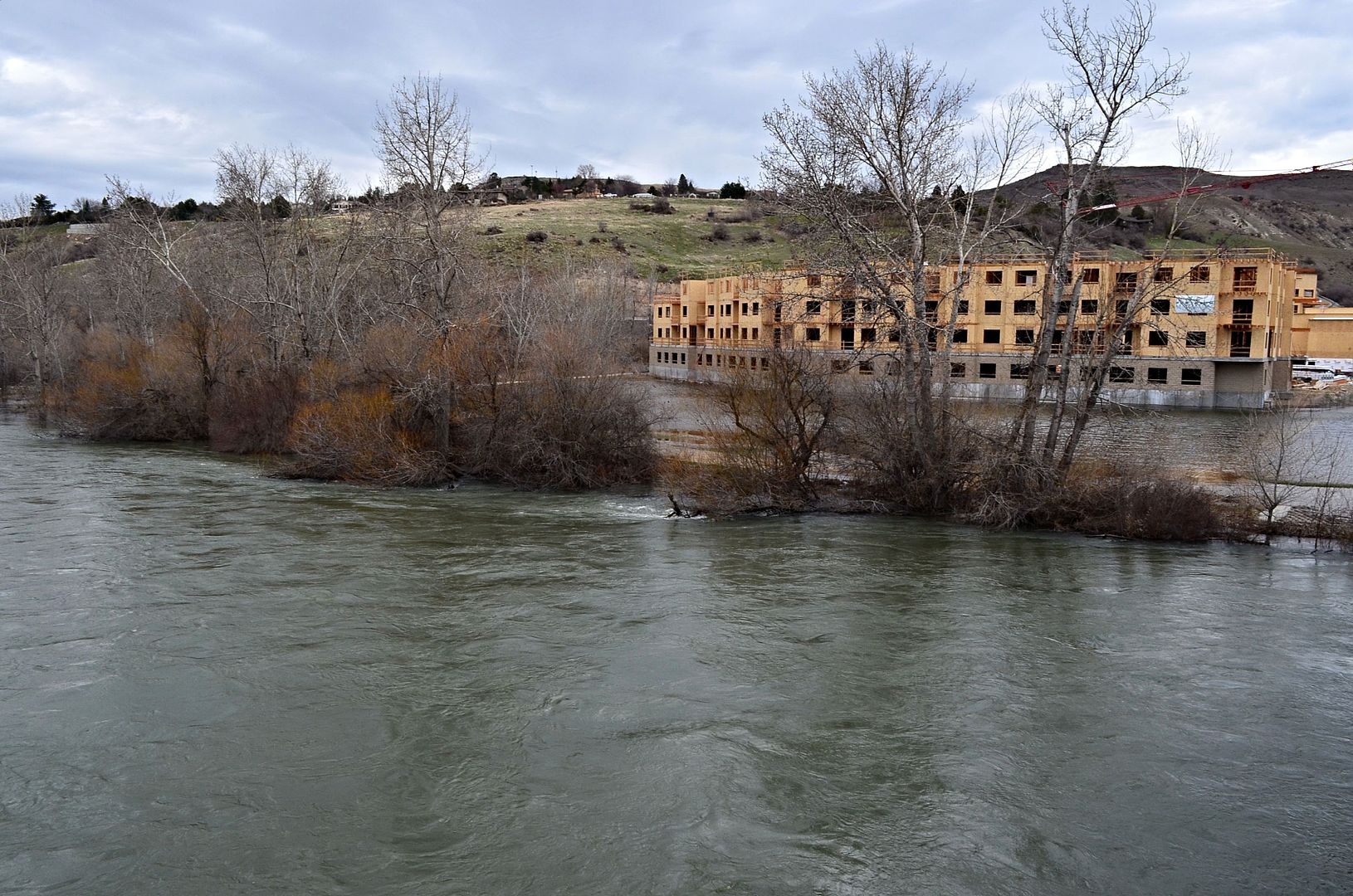 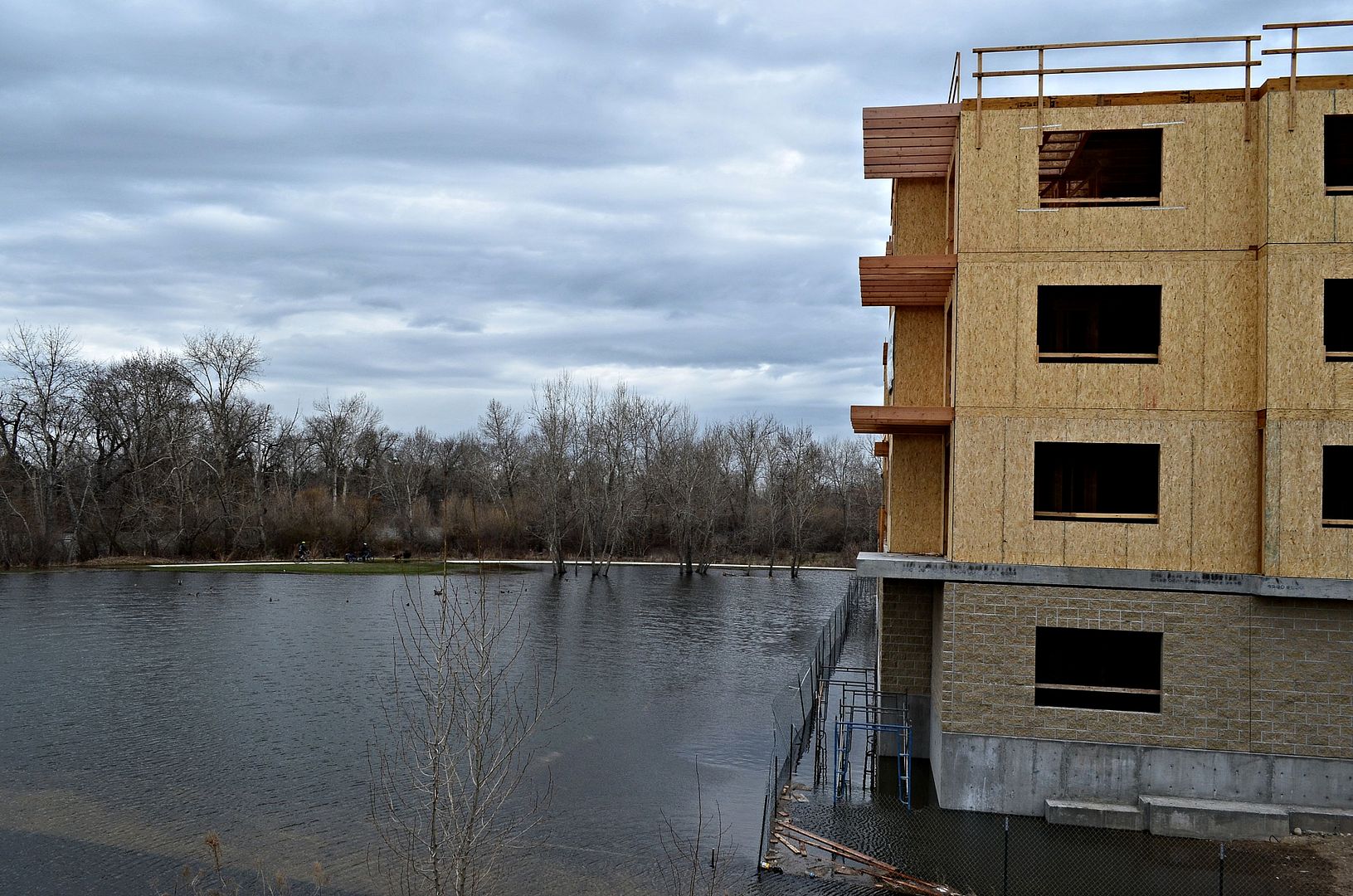 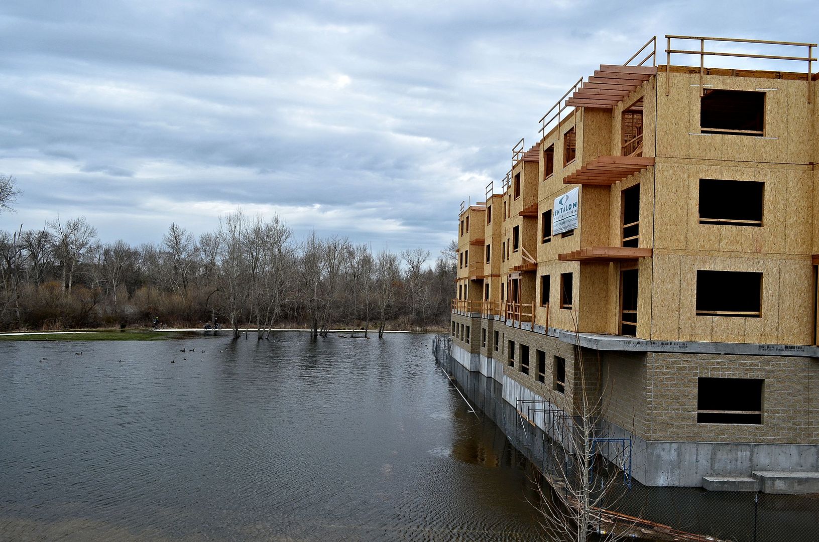 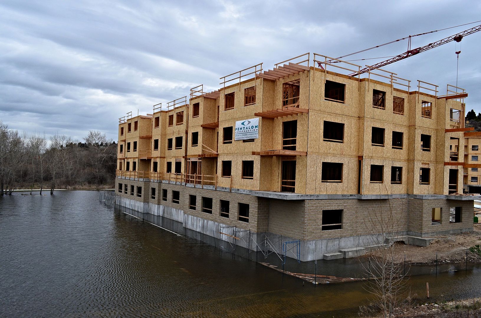 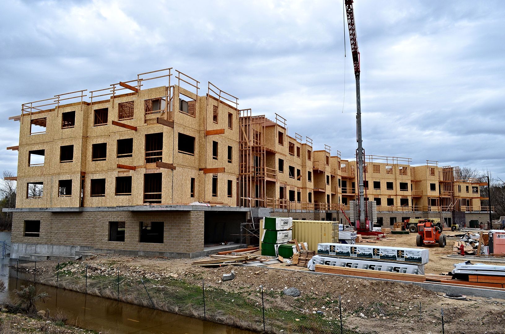 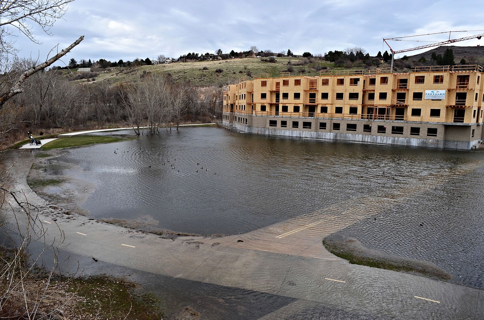 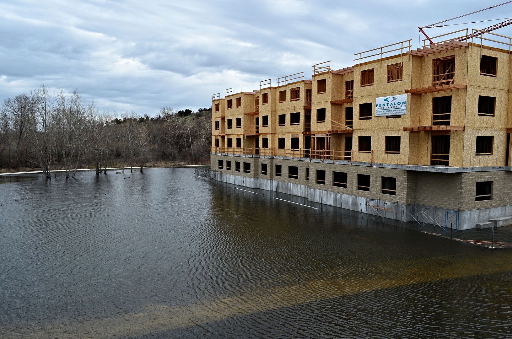 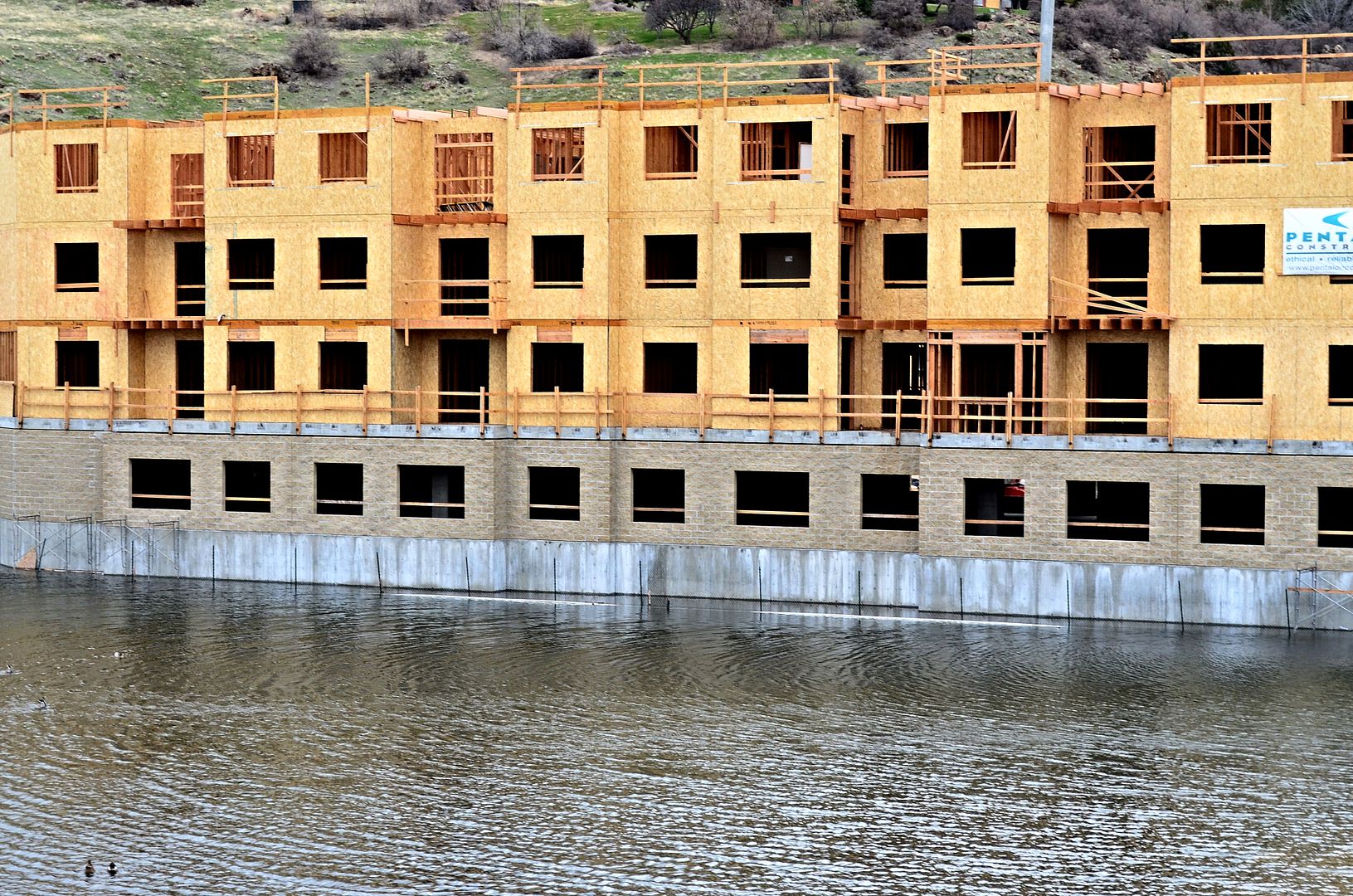 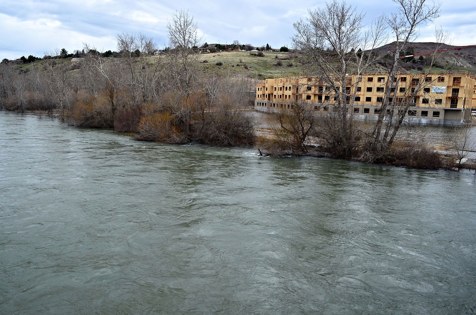 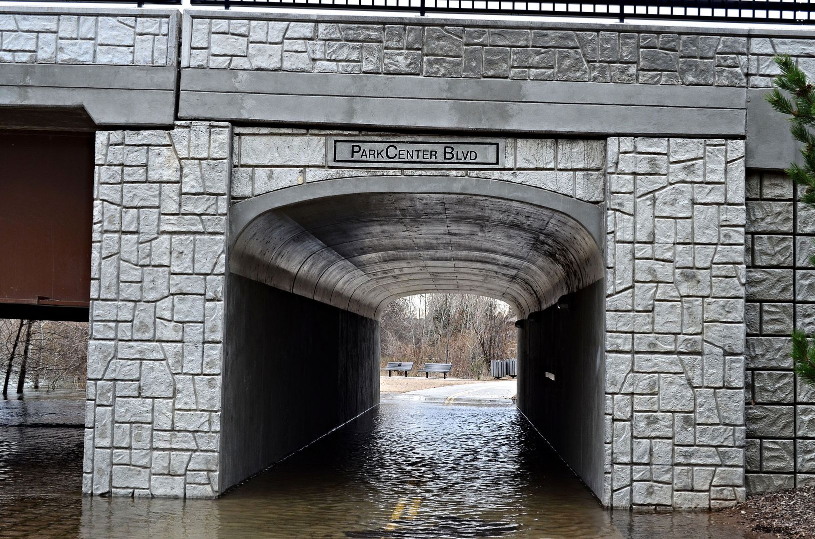 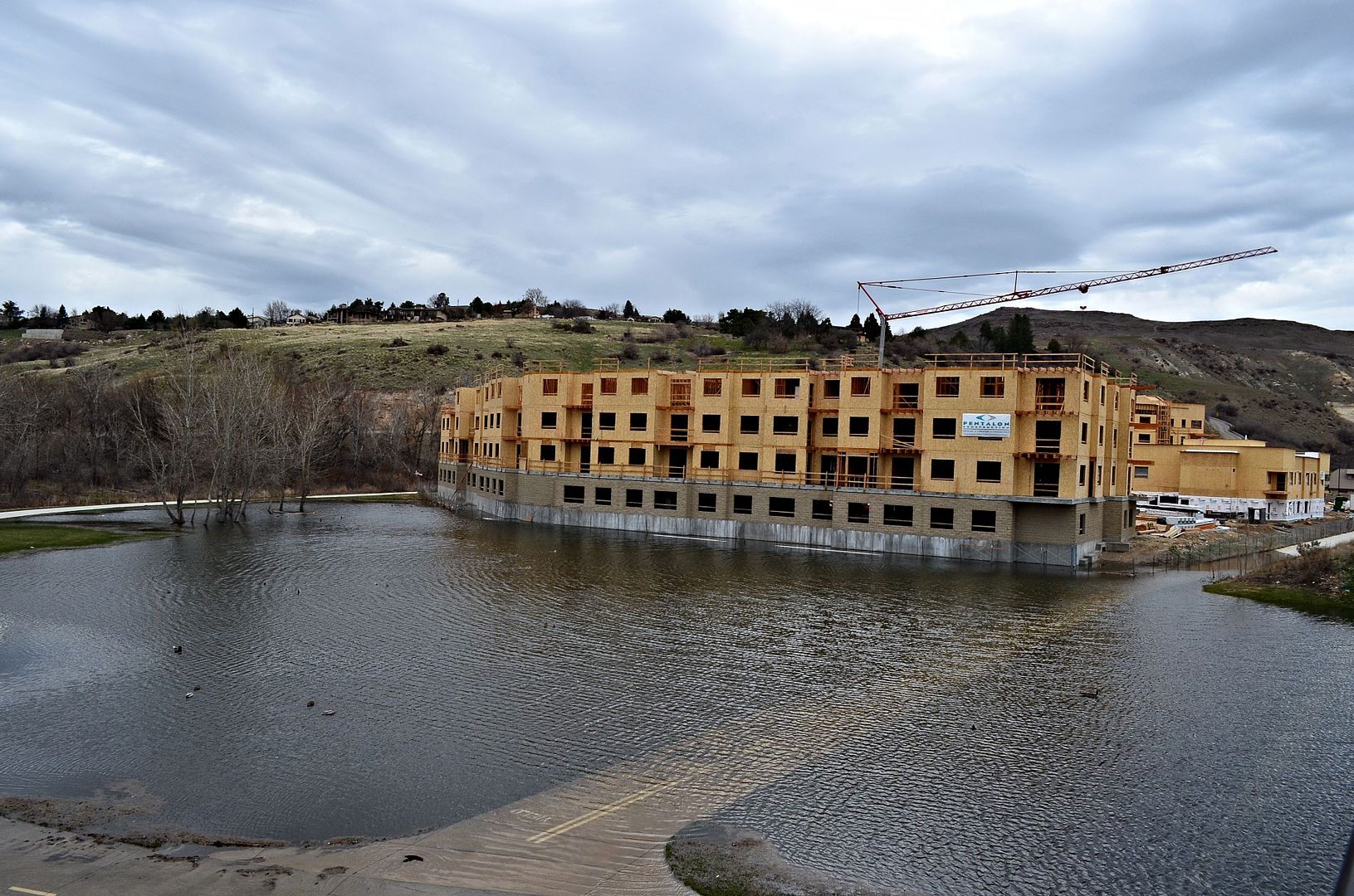 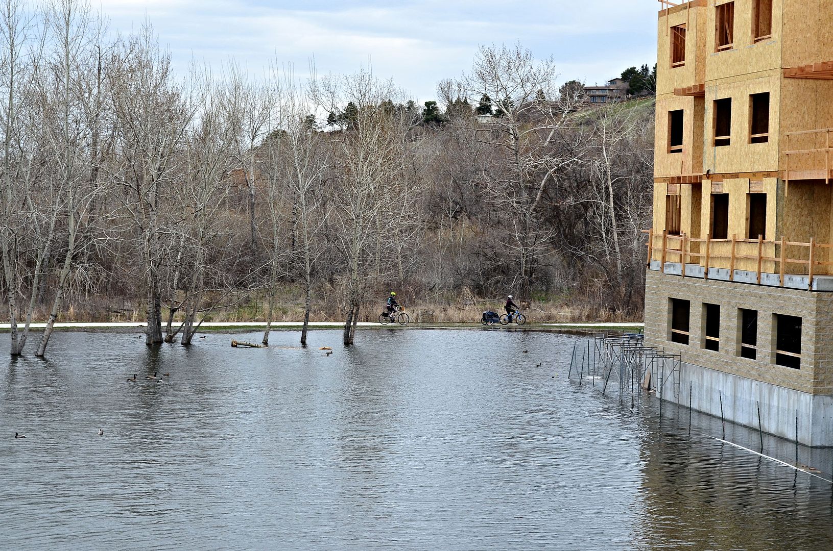 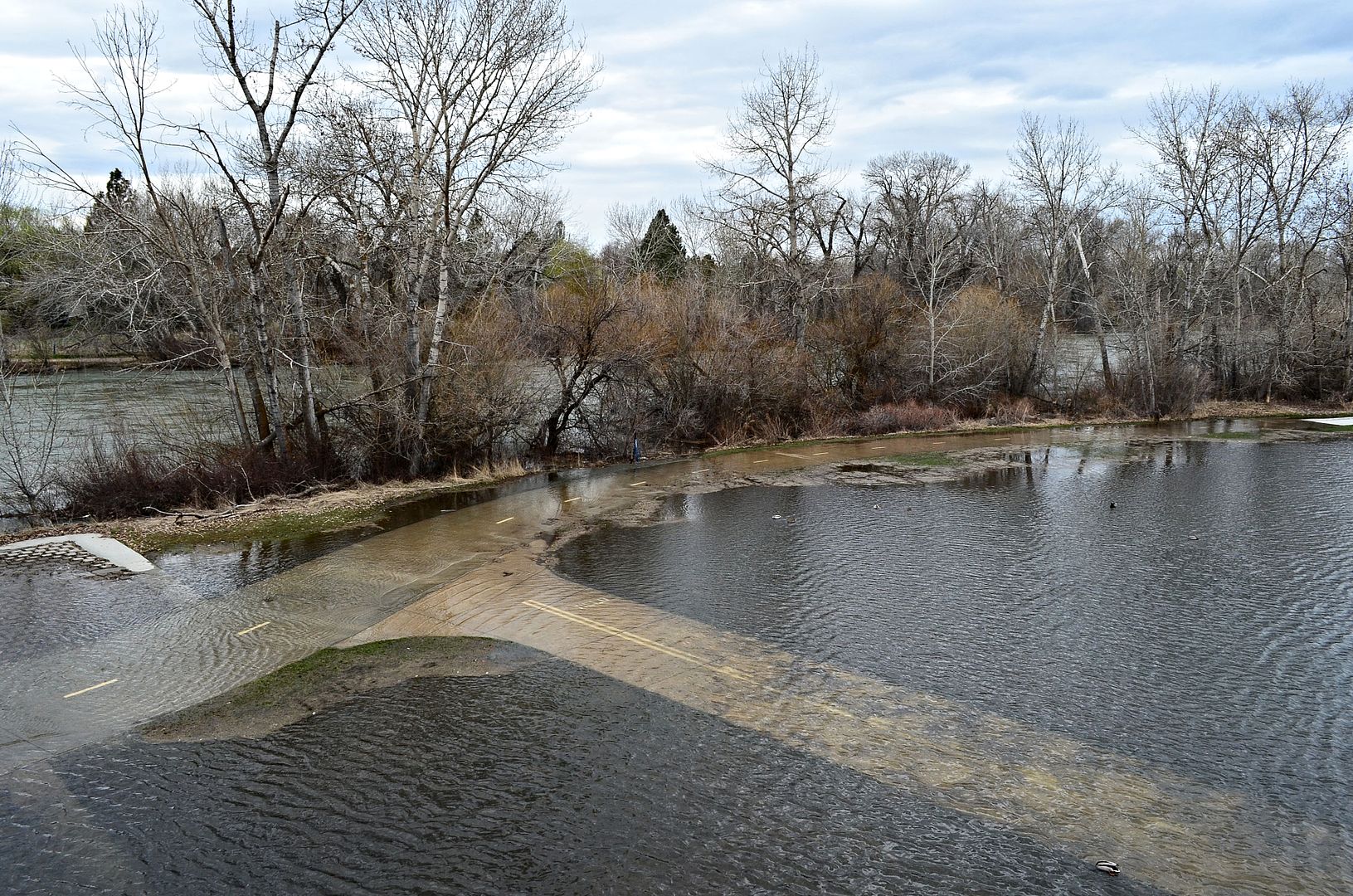 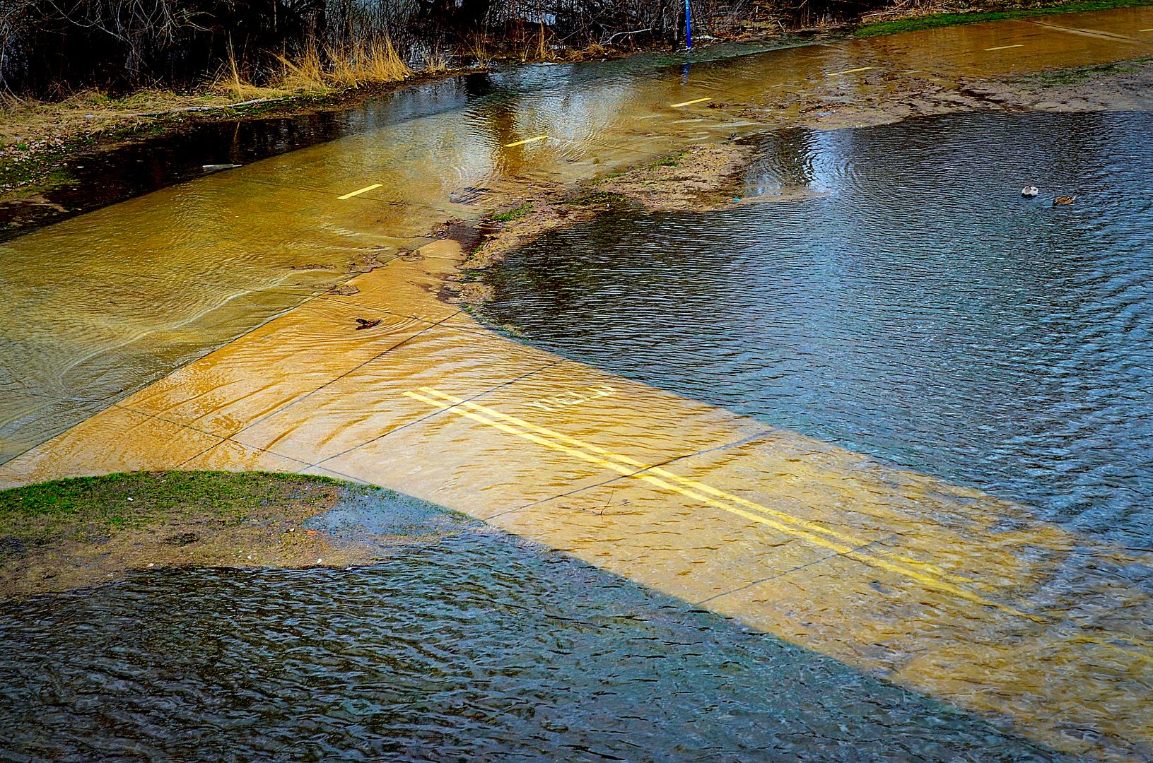 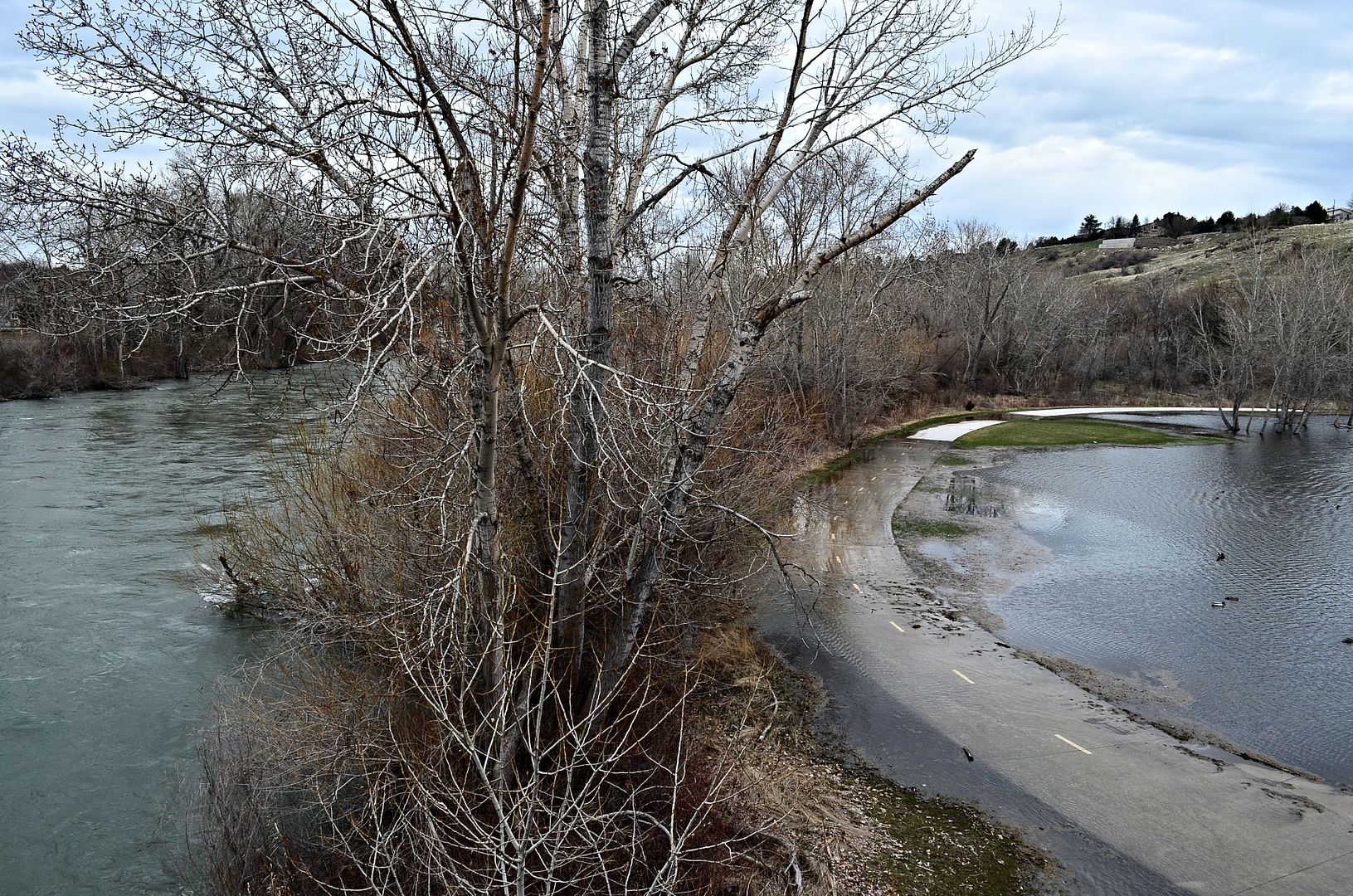 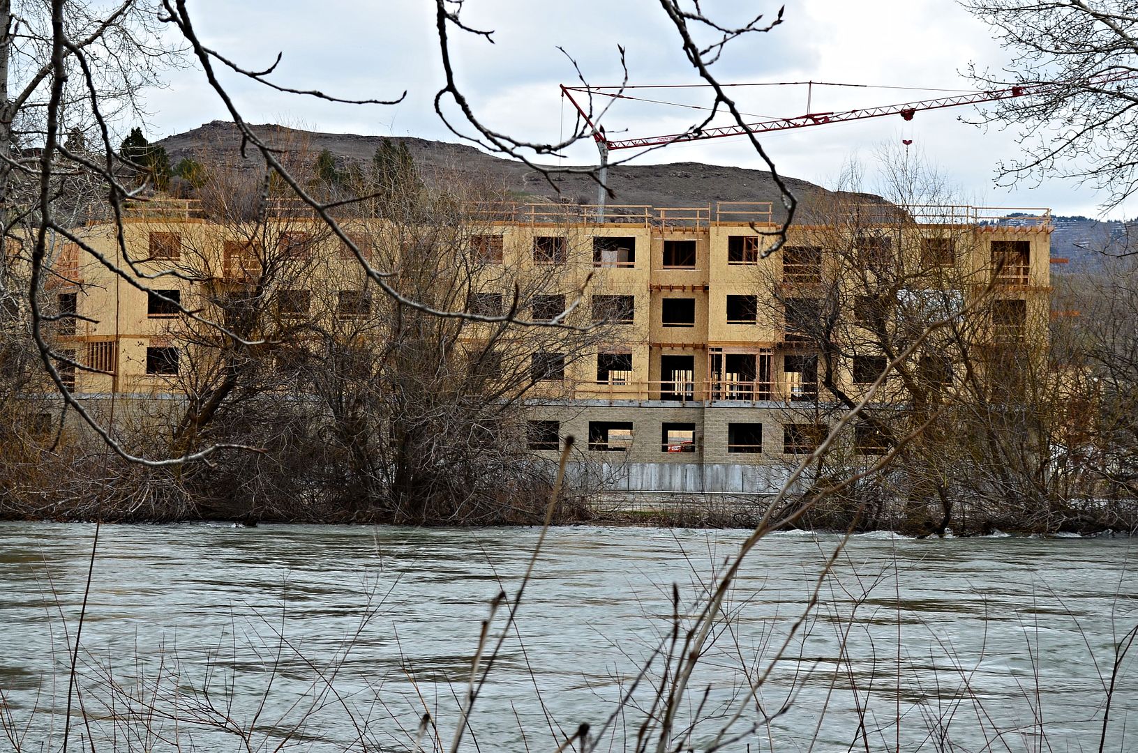 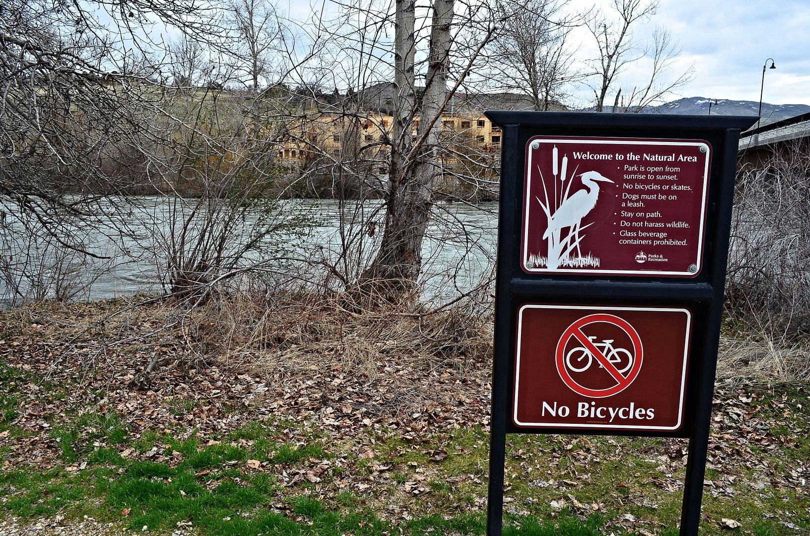 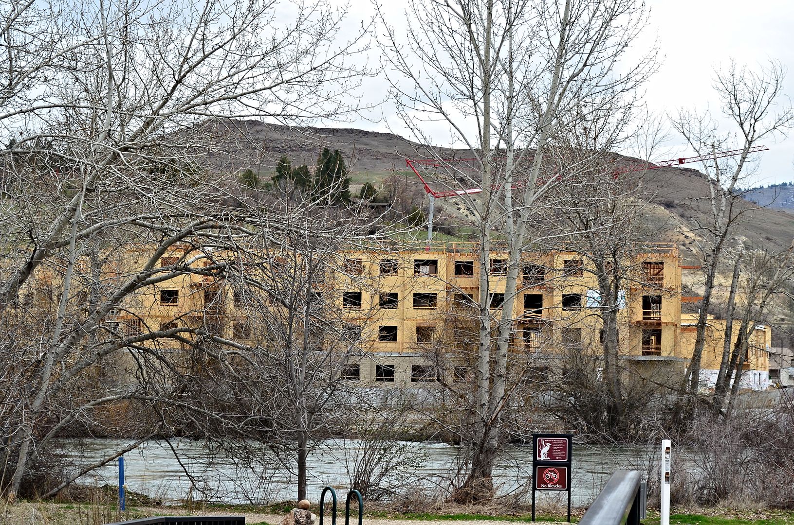 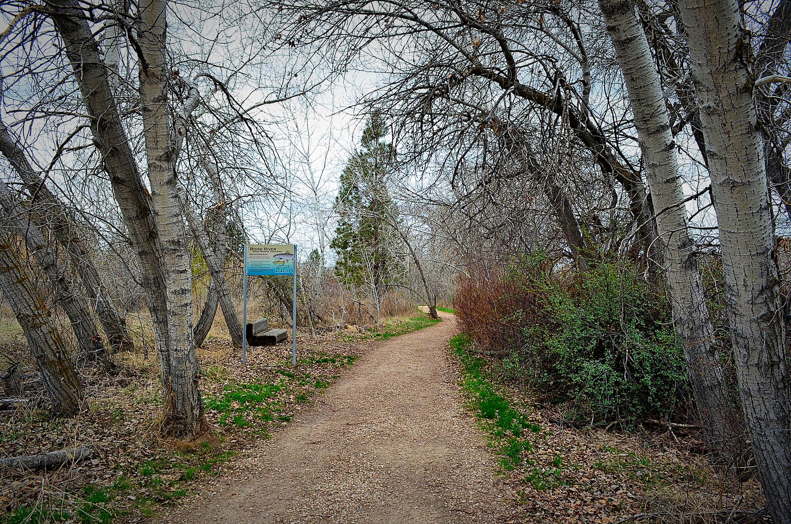  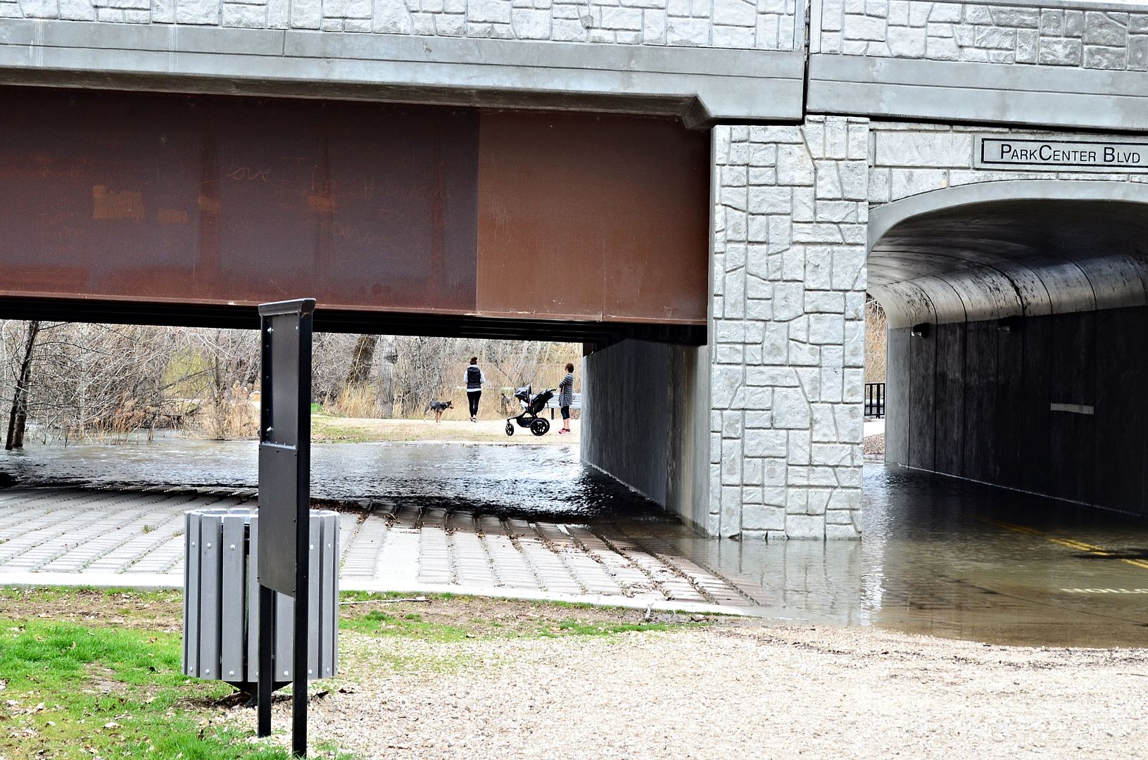 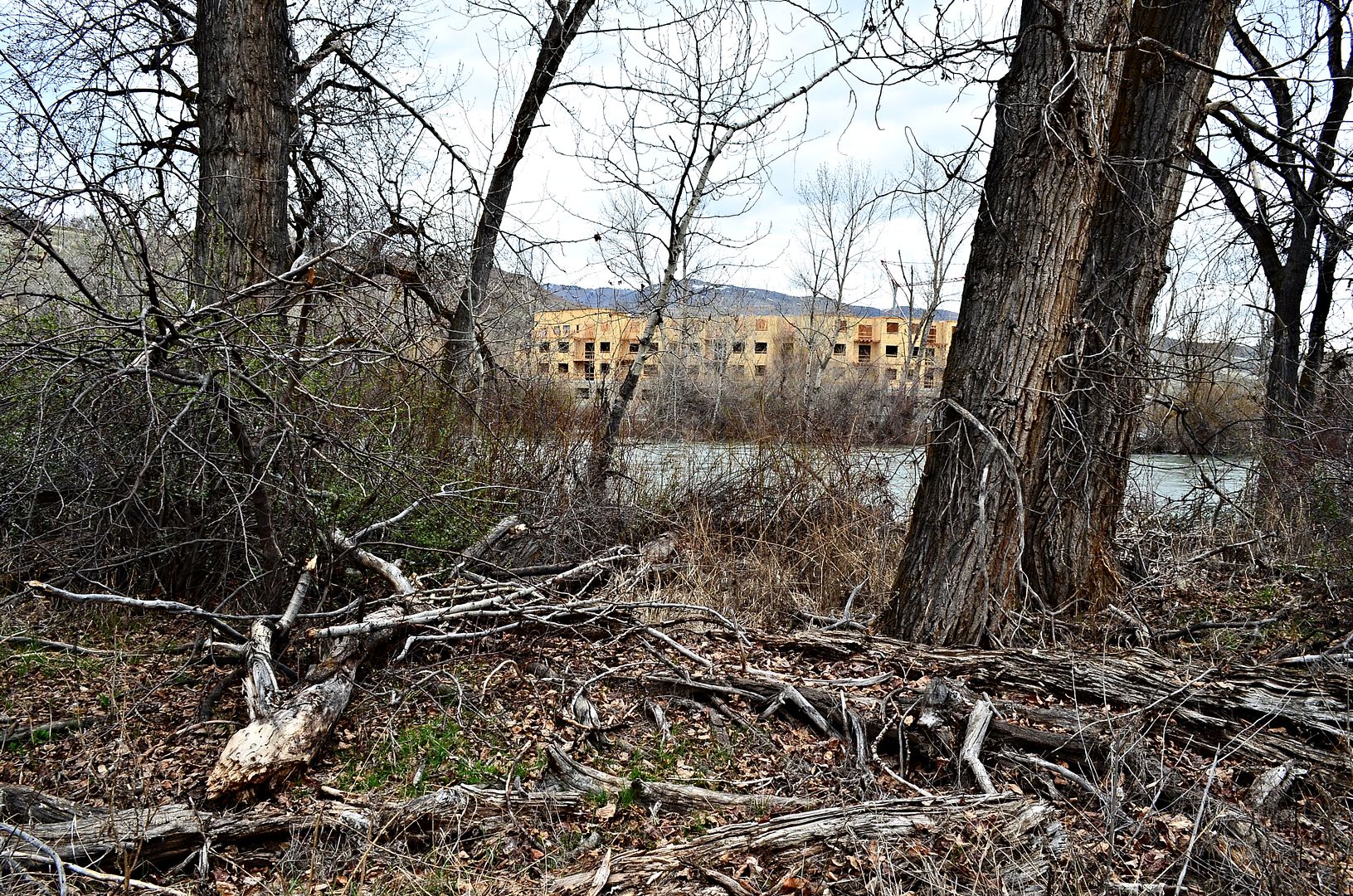 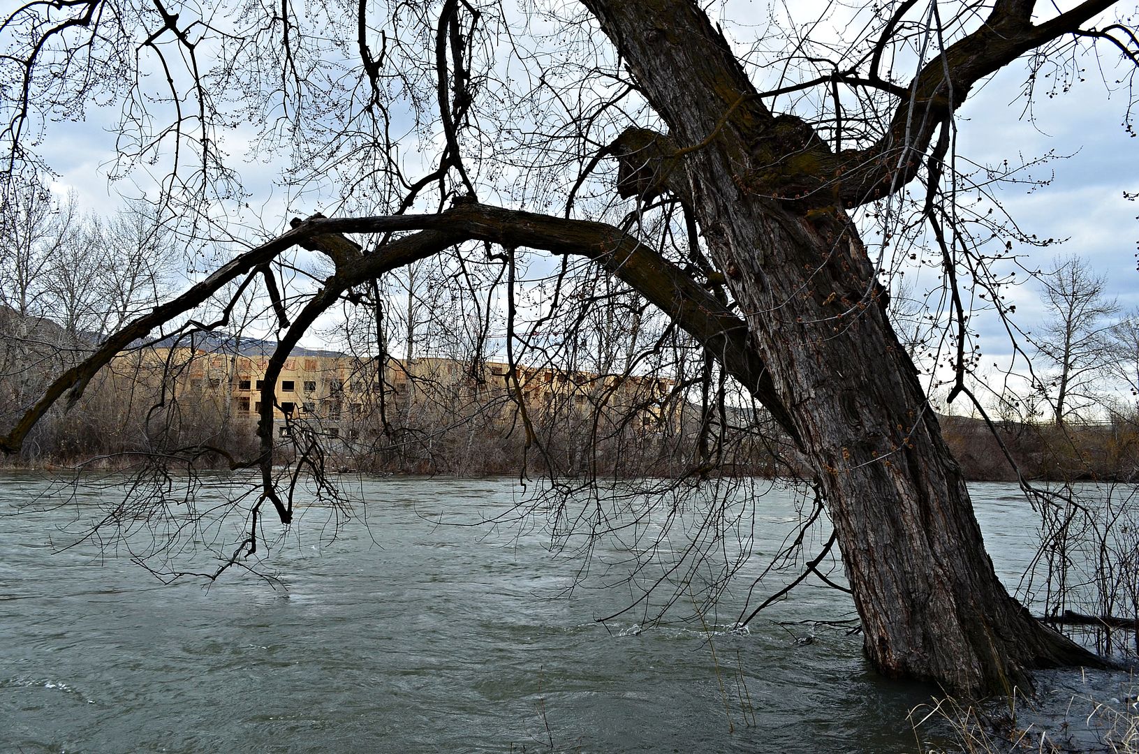 Time to head back downtown and home.  |
I'm guessing all that water in the foundation of that building isn't a good thing.
Could you get a few more angles of the flooding. ;) |
Perhap they can advertise The Aboretum as the Venice of Boise. They could sell kayak dock space.
|
I posted one of your images to their Facebook page. I don't have high hopes of it getting approved though.
|
Quote:
Quote:
Quote:
|
March 24 Americana Boulevard Bridge 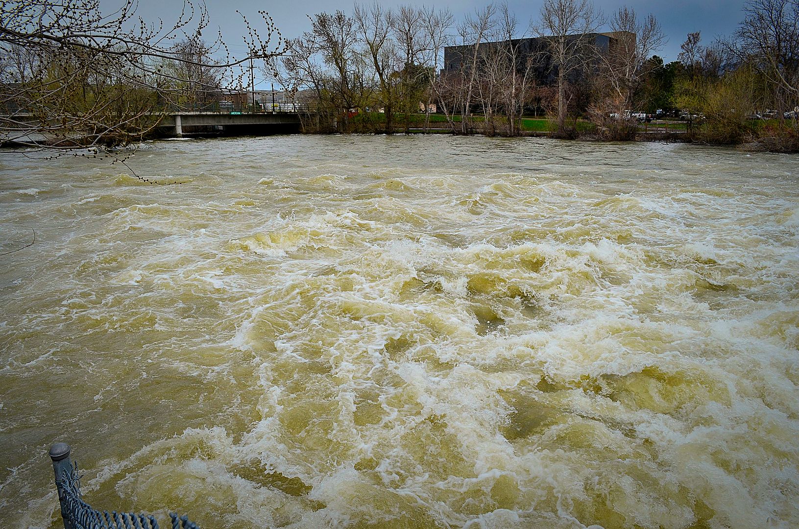 |
Quote:
March 25 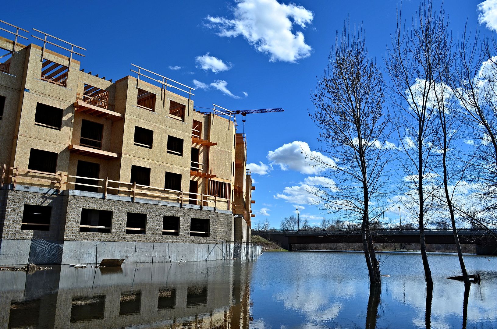 |
Do you think they will charge more for the units with a water view? :)
|
April 8 downtown @ the river 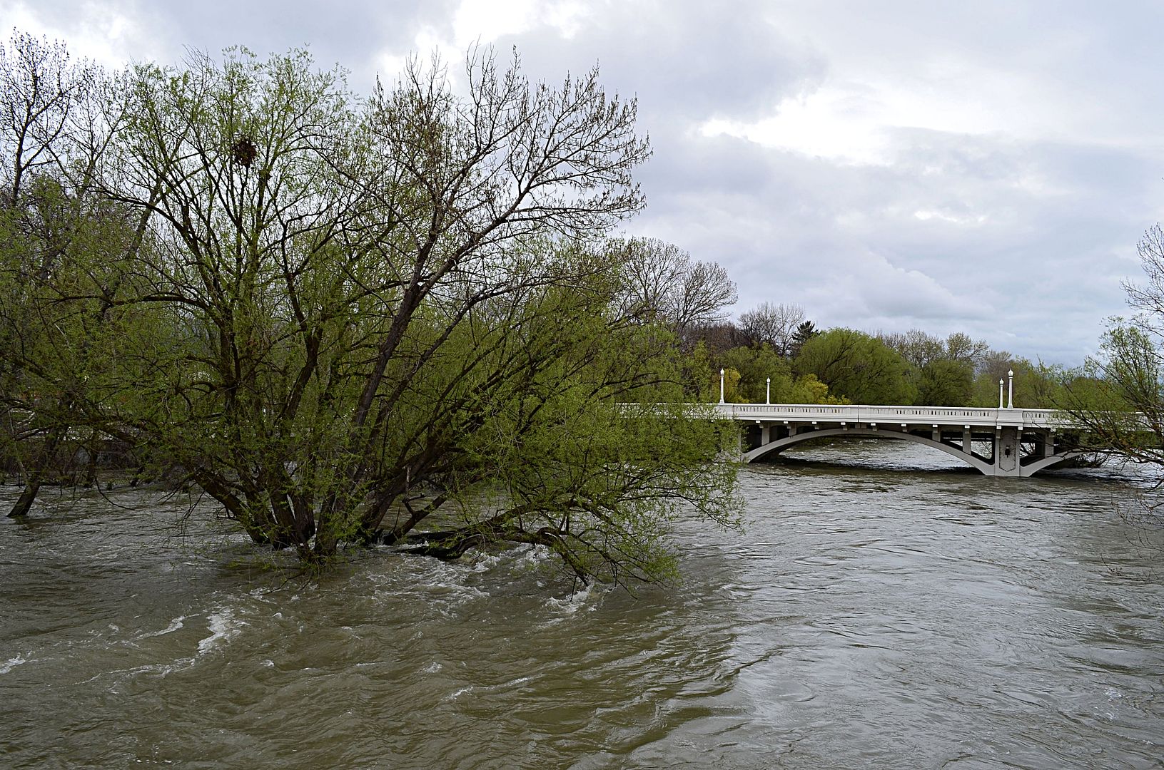 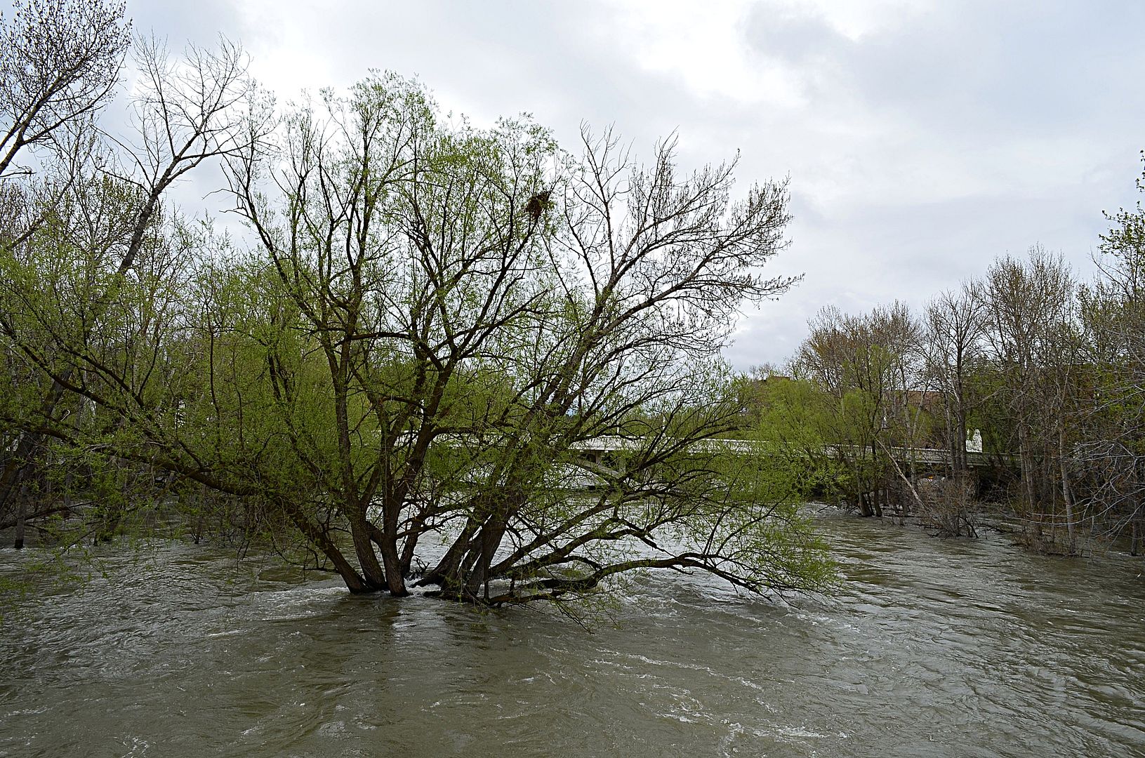 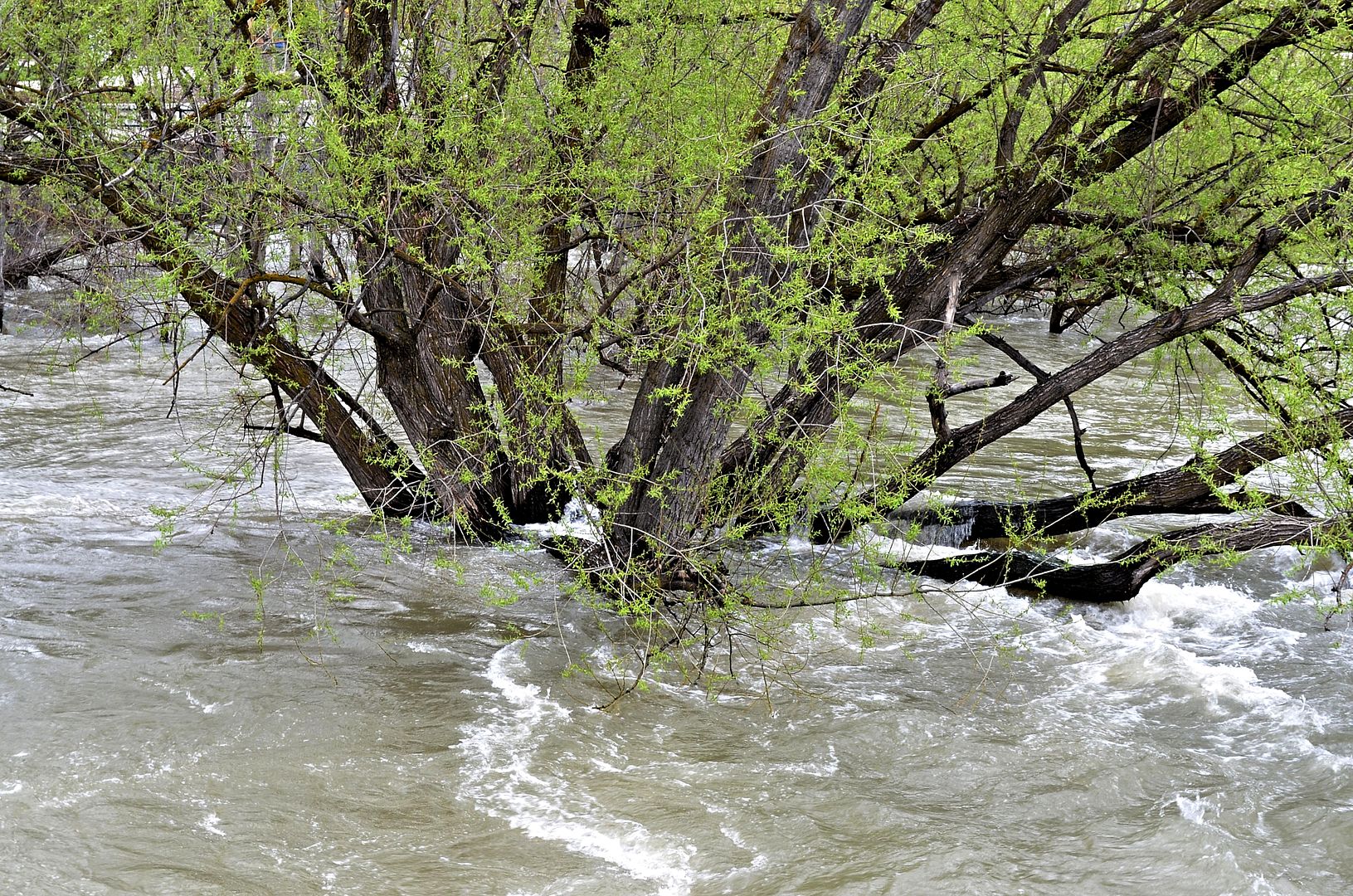 |
May 30 South Fork Canyon of the Boise River Northeast of Boise the south fork before it meets the north fork and middle fork and forms the main river flowing through boise 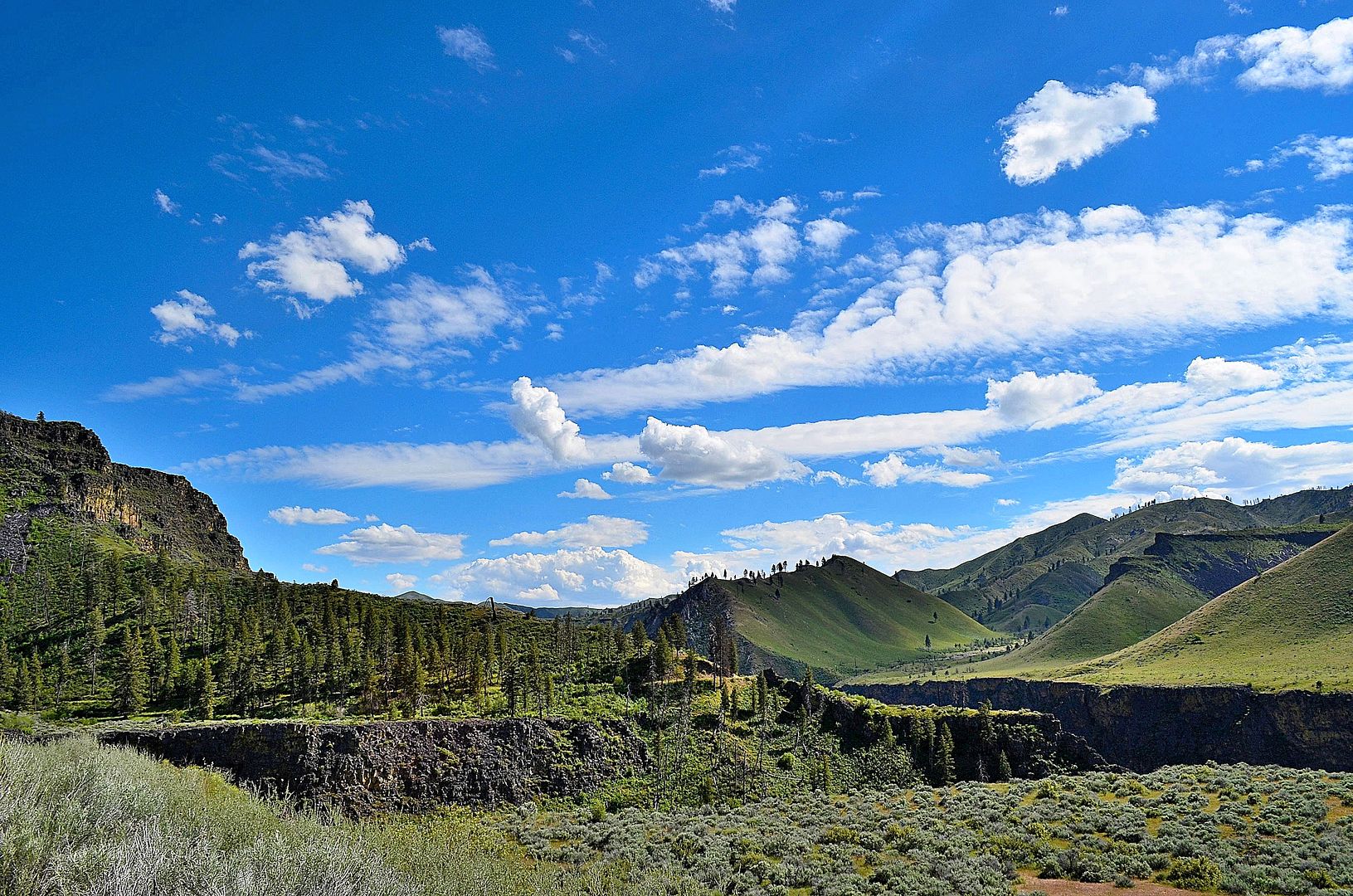 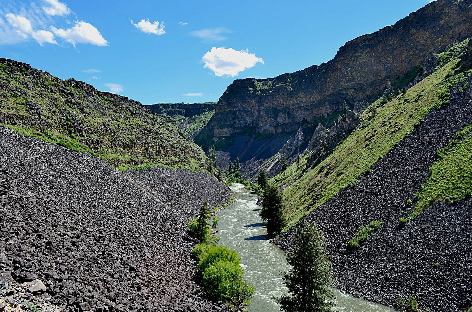 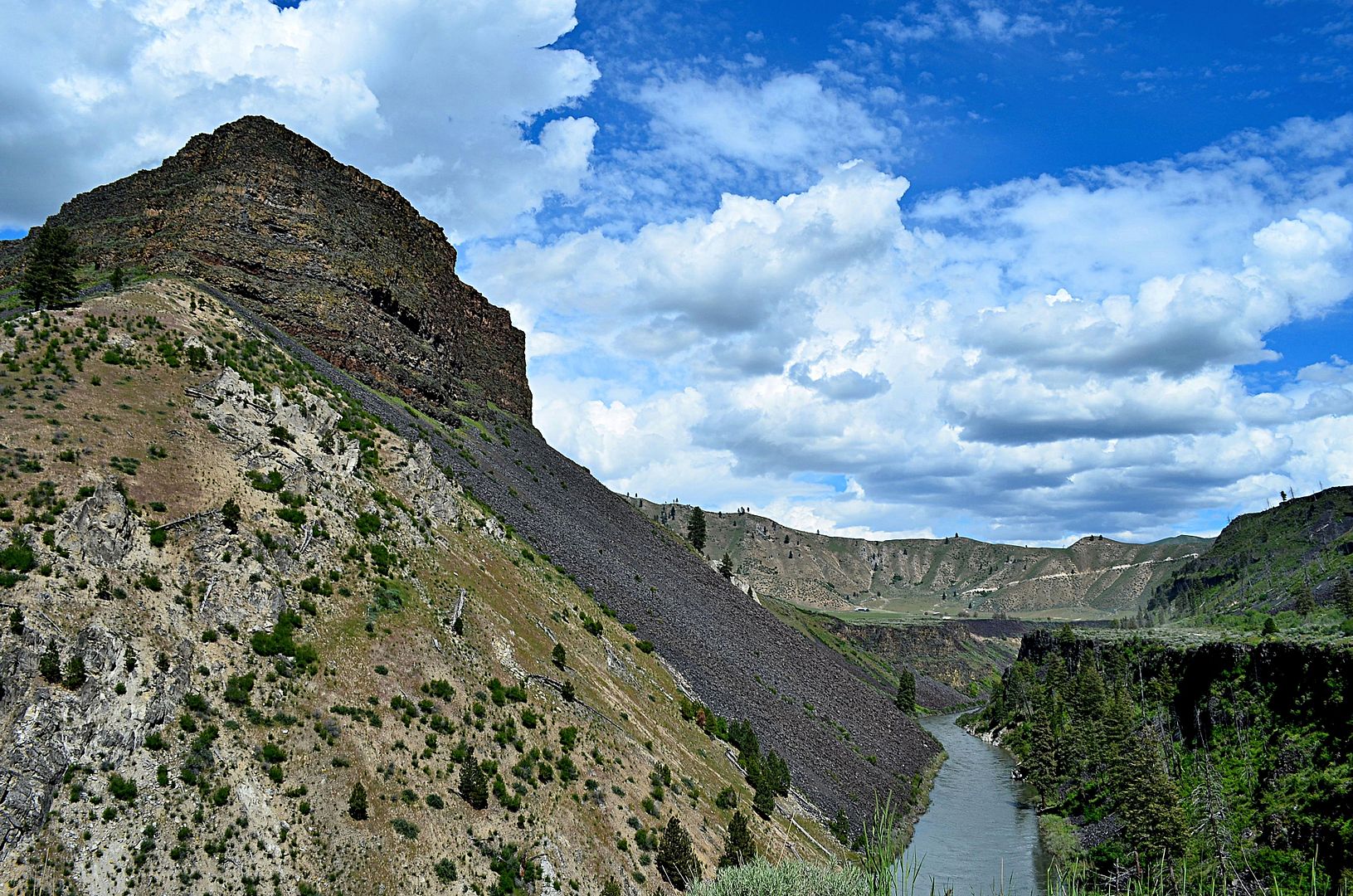 |
Post more this spring please:D It should be a great runoff season again with all of the snow the mountains are getting.
|
| All times are GMT. The time now is 8:22 AM. |
Powered by vBulletin® Version 3.8.7
Copyright ©2000 - 2024, vBulletin Solutions, Inc.