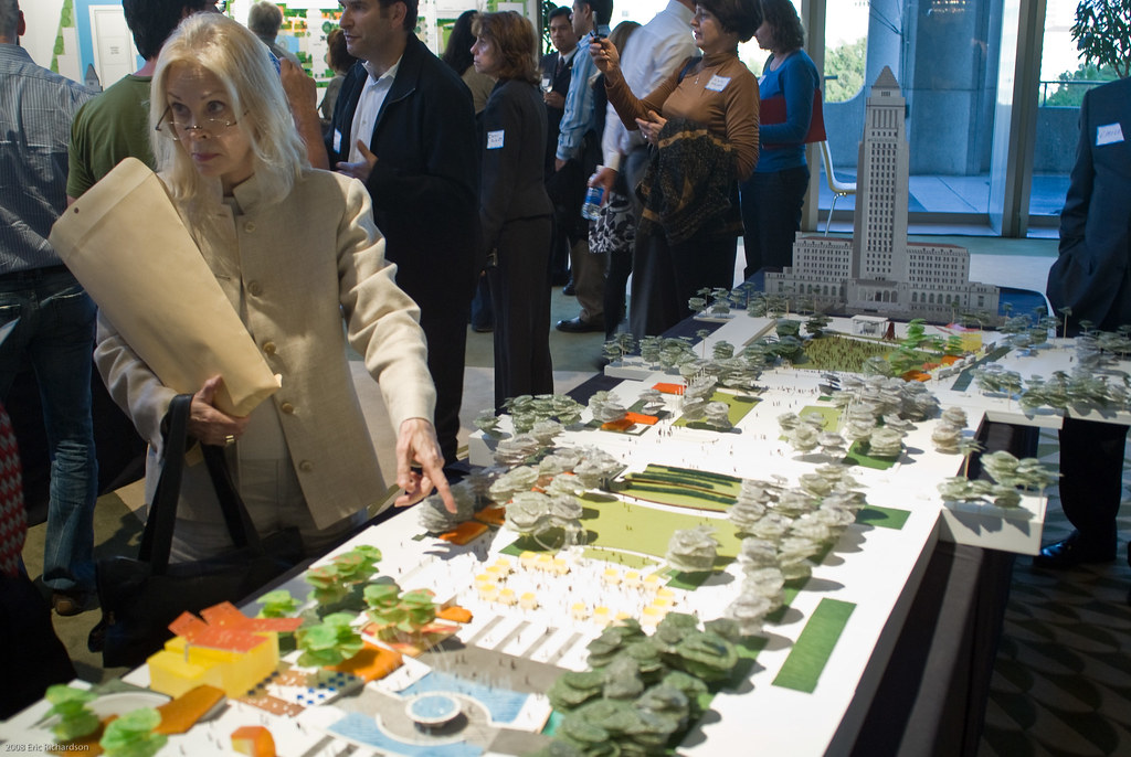
 Kathleen McMullin asks a question about the park model.
Presented Park Plan a Start, but Illustrates the Need for a Cohesive Transit System
Kathleen McMullin asks a question about the park model.
Presented Park Plan a Start, but Illustrates the Need for a Cohesive Transit System
By Eric Richardson
April 22, 2008
County Supervisor Gloria Molina welcomed the crowd gathered to hear of plans for a redone Civic Center park with a warning: dreaming is nice, but at the end of the day something's got to be built with the money the project has in hand.
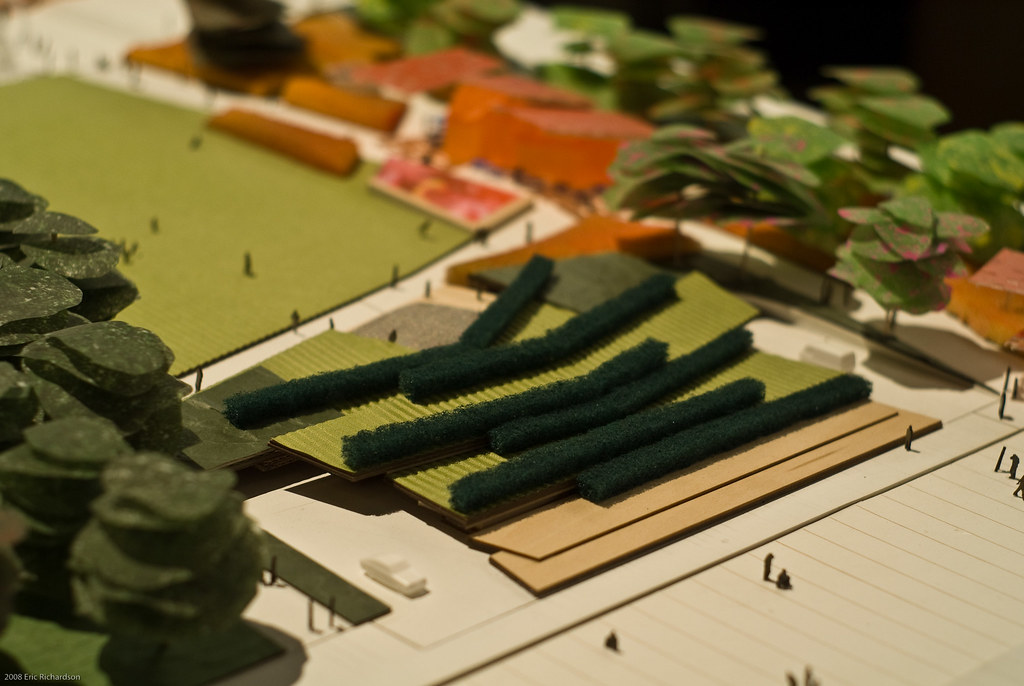
Her remarks set the tone for a meeting that lacked grand reveals, and instead talked of building a basic foundation onto which pieces could be added as additional funds were raised. Given the lack of architectural fireworks, programming that included large events was given a prominent placement.
Though neither were addressed, the presentation's focus on crowds illustrated how vital both the streetcar and Regional Connector will be to the park's success.
The Civic Center park sits tucked away between government buildings, running from the Music Center on the west to City Hall on the east. With the 101 freeway a significant barrier to its north, the park isn't naturally at the center of anything. While the Grand Avenue Project will bring residential development a block away, the bulk of Downtown's residents aren't within an easy walk of the park site.
Those who want to come to the park to read a book, eat at the cafe or throw around a frisbee will have to find their way to the site. The proposed streetcar system, in its role as a "walk extender," offers the best potential to make the park somewhere that residents will visit. Without it, the space's location quickly becomes a deterrent to casual use.
Large events will draw a crowd from beyond Downtown and bring their own set of challenges. The park flows down from the Music Center to City Hall with an emphasis on open views, creating an ideal space for concerts and rallies. In the process, though, the site crosses three major north-south streets: Spring, Broadway and Hill. All three are heavily used by bus lines.
A major event that extended through the park and led to the three streets' closure would currently cause a major disruption in transit traffic that travels through Downtown. A below-grade Regional Connector, as a second grade separated trunk line through Downtown, offers the ability for transit lines to run to the edges of the Central City.
Passengers headed across town would be able to transfer to the rail, sail under the disruption above, and reboard their bus on the other side. Alternatively, routes could simply bypass around Downtown, offering a connection to the rail system as a way to let those traveling into the core reach their destination.
All this, though, will take some time. Plans for the park have much to be finalized, and construction is tentatively scheduled for a Spring / Summer 2009 start and a mid-2011 conclusion.
 At Hill street the plan would leave current parking ramps intact, simply putting some green over top of them. Pedestrians would have to travel around the ramps, as they do today, disrupting a continuous flow down the middle of the site.
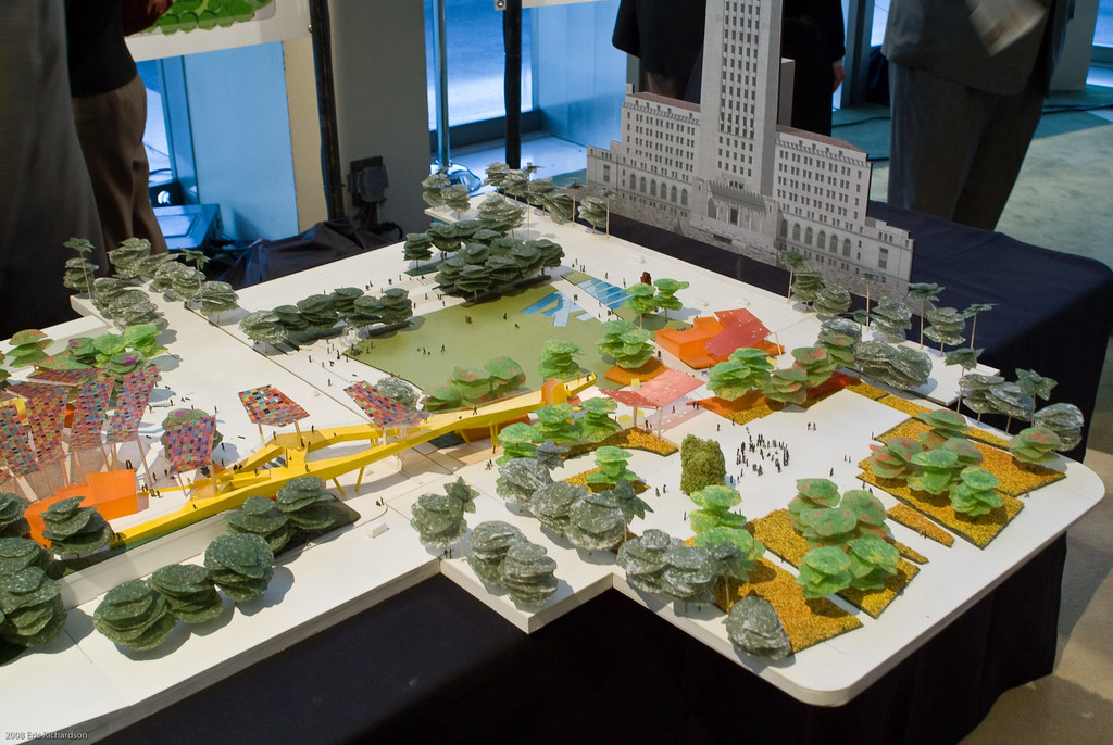 The enhanced park plan would re-activate the old State Building footprint, already once a park. The basic plan would leave it in its current state.
--------------------------------------------------------------------------
Source:
Blogdowntown