Quote:
Originally Posted by FredH


E.R. - We are looking at the El Monte area here. South of the San Bernardino
(10) Freeway and east of Rosemead Blvd (Highway 19). I think part of the old airport is still vacant land. (brown spot on the map)
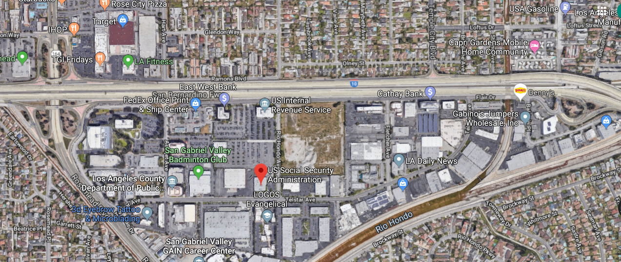
Google Maps
The area looks like a big gravel pit, or something.
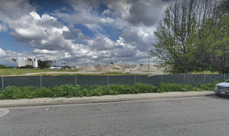
Google Street View |
______________________
My family lived a few blocks north of here (across what's now the freeway) during 1950-54. The short version of the history is that the airfield supported some aeronautical and later aerospace manufacturing facilities (notably Aerojet-General), and these gradually took over the airport itself by the mid-/late 1950s. Beginning in the late 1960s or so, the area was re-redeveloped into the office and commercial space currently extant.
The vacant land shown in the aerial view apparently was supposed to be developed into a multistory complex, but it seems to have been delayed. More here:
https://www.ci.el-monte.ca.us/Docume...pecific-Plan?b