The Embarcadero is a thoroughfare and promenade within San Francisco's 7-mile by 7-mile city limits. It is a 2.5 mile stretch of the bayfront, and its major street is called The Embarcadero, a word of Spanish origin that describes a place to embark on an inland waterway. It forms the Eastern waterfront edge of a few neighborhoods: the Financial District and the South of Market area (most of the latter's part that touches The Embarcadero is often called South Beach) as well as the foot of Telegraph Hill. The Southern tip of it becomes Mission Bay, while the Northern tip becomes Fisherman's Wharf. Most of it is bay fill, as the original shoreline was often several blocks West. Over the years it was filled (some of the fill consisted of deliberately sunken ships) and large warehouse piers connected by multiple shoreline railroad tracks were built. In its late 19th and early 20th century heyday it was a major area of industrial transport and activity, far from a leisure area. However, as larger container shipping became common the the port died as the water traffic moved across the bay to the larger port facilities in Oakland. The need and use for cargo railroads also died, and The Embarcadero declined in utility. Some of the piers were destroyed, while others found new life as parking garages. However, in more recent times some of the piers have found new uses and been renovated or rebuilt while the entire length has been transformed into a popular recreational shoreline. This thread will take a tour from the Southern end to the Northern end.
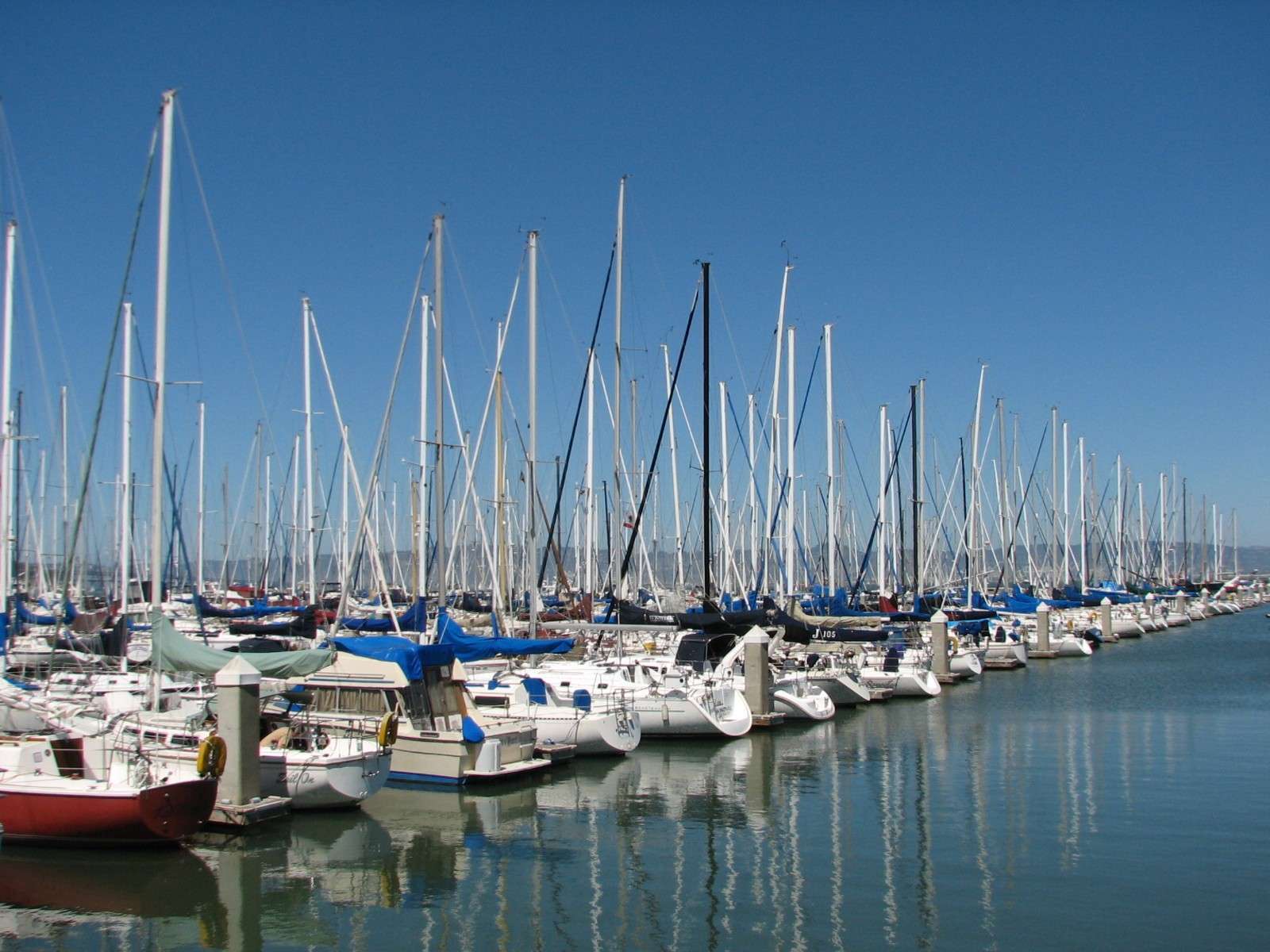
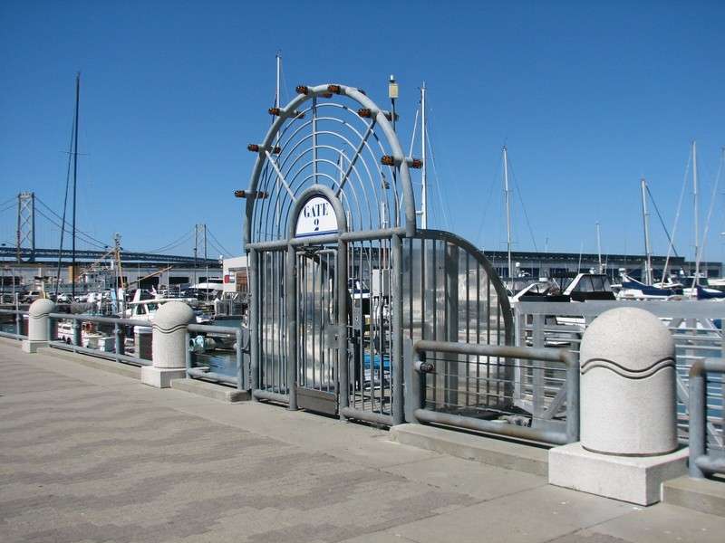
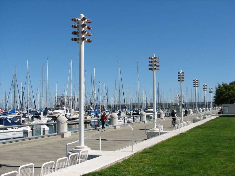
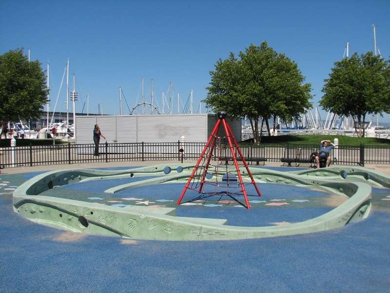
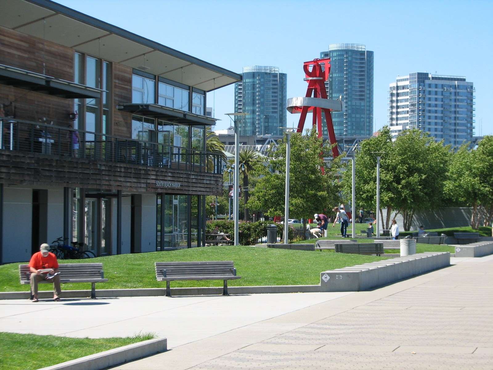
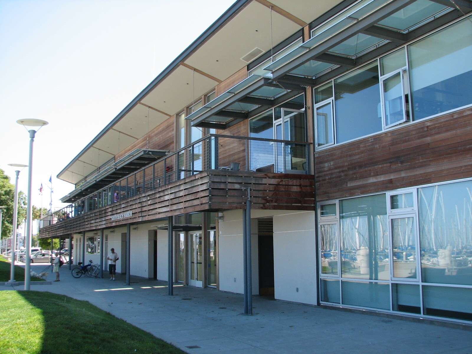
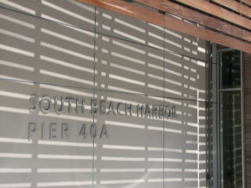
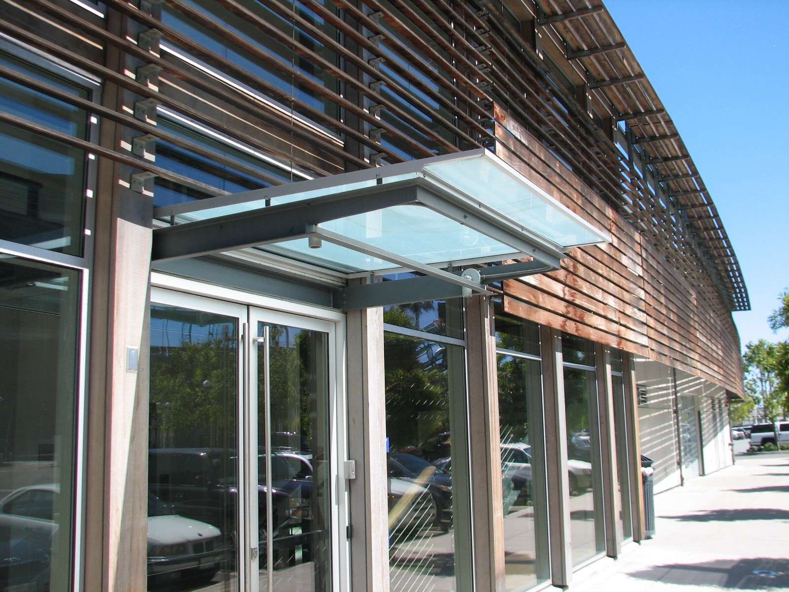
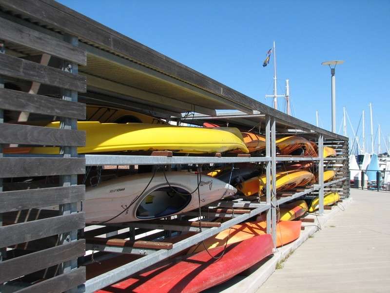
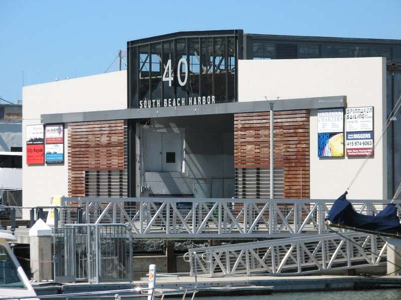
South Beach Harbor:
This marina and park also features a pleasure boat pier and yacht club pavilion. It adjoins AT&T Park, the stadium where the San Francisco Giants baseball team play. I consider the ballpark to be the beginning of the Mission Bay neighborhood, not part of The Embarcadero. The street itself becomes King Street in front of the ballpark.

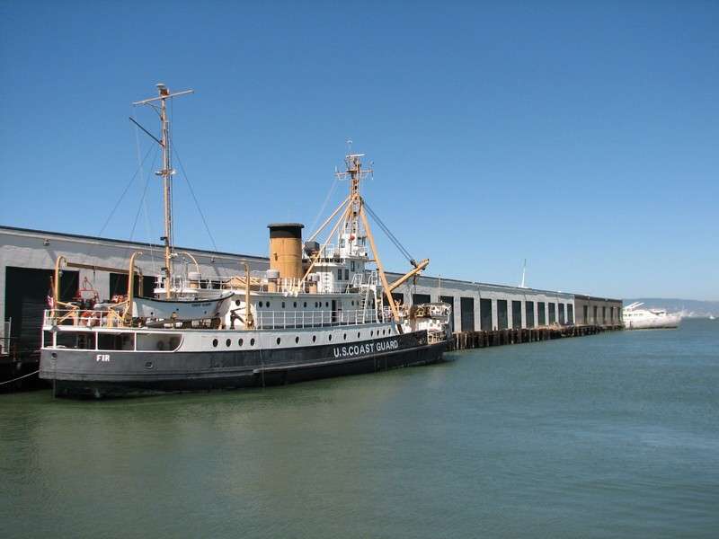
Pier 38:

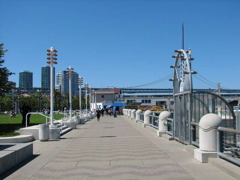
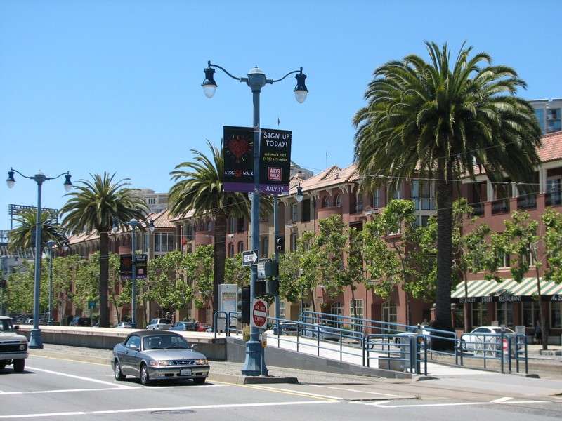
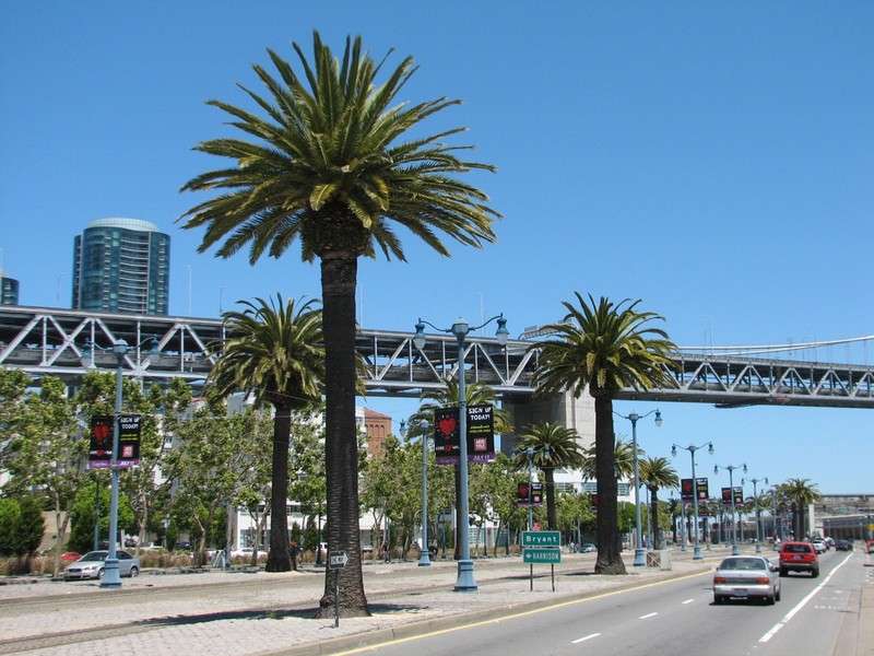
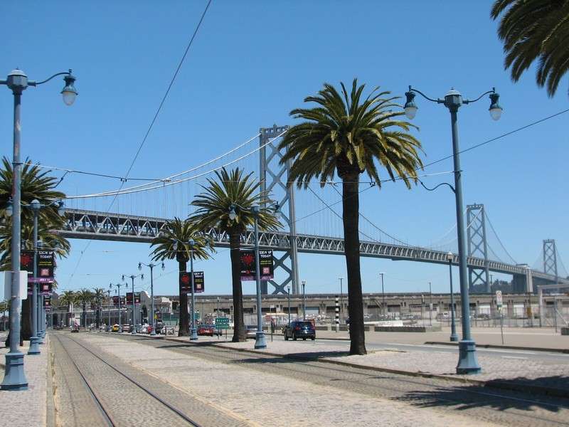
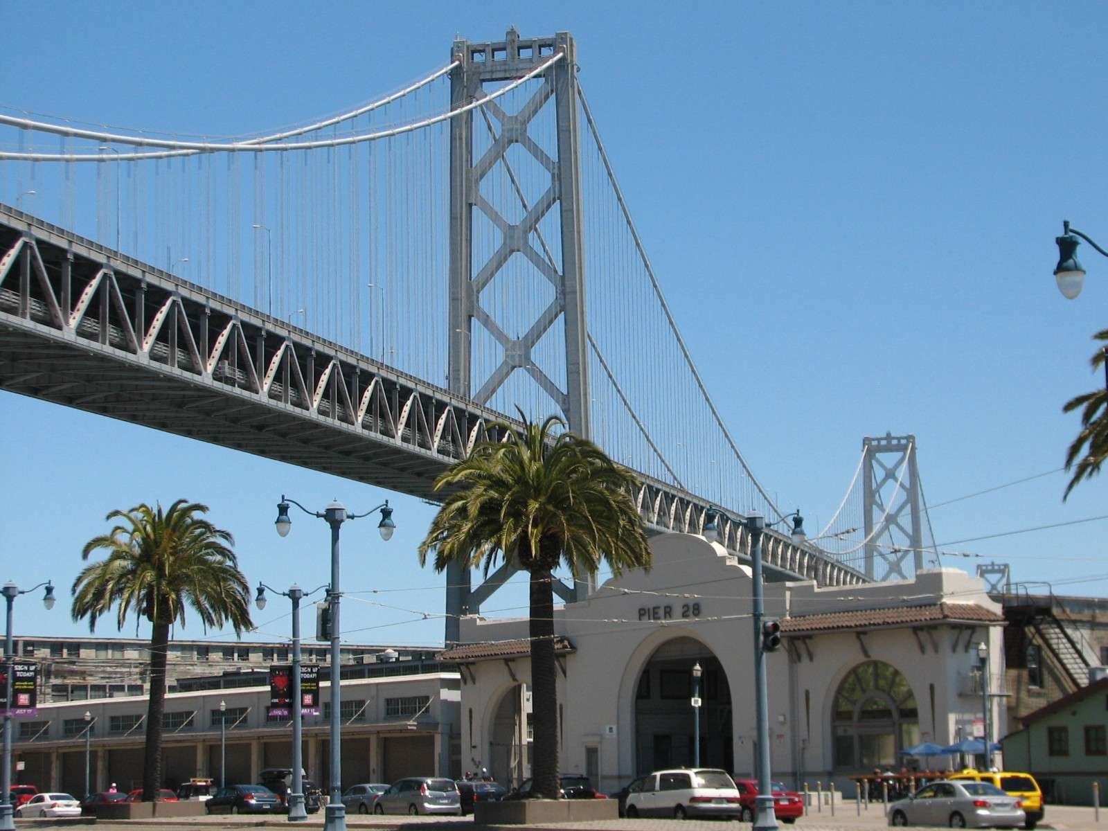
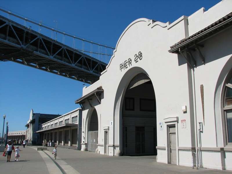
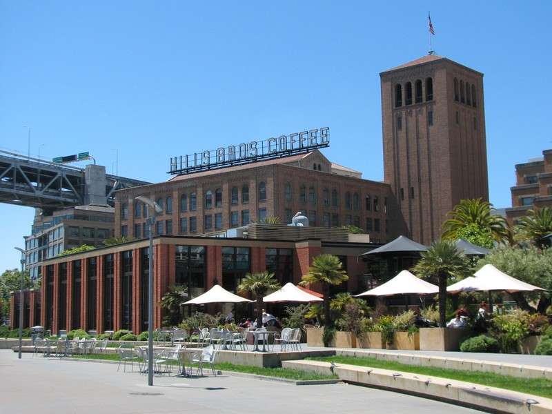
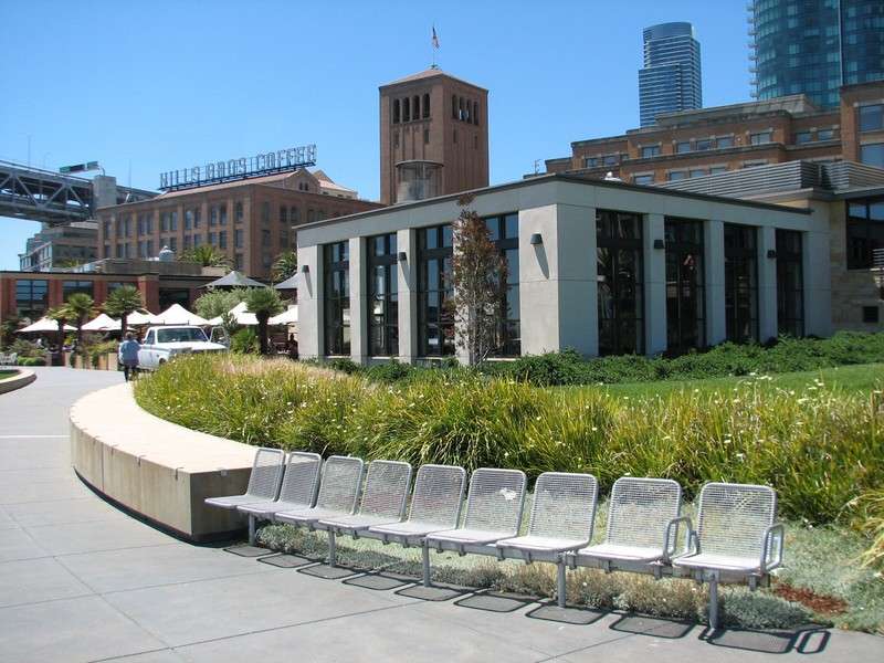
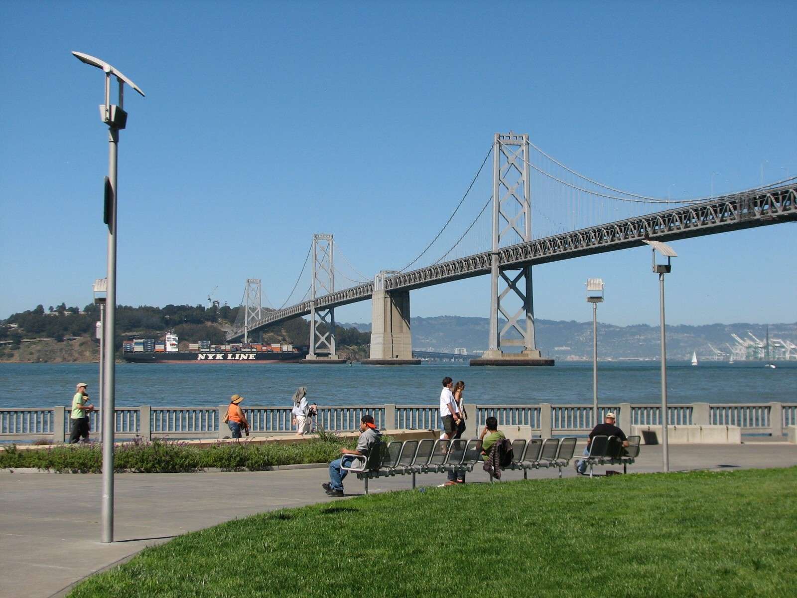
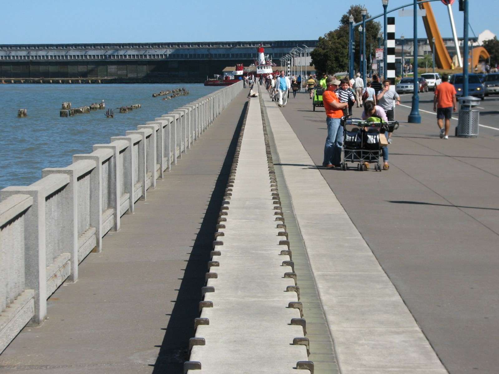
The Embarcadero, South of the San Francisco Bay Bridge:
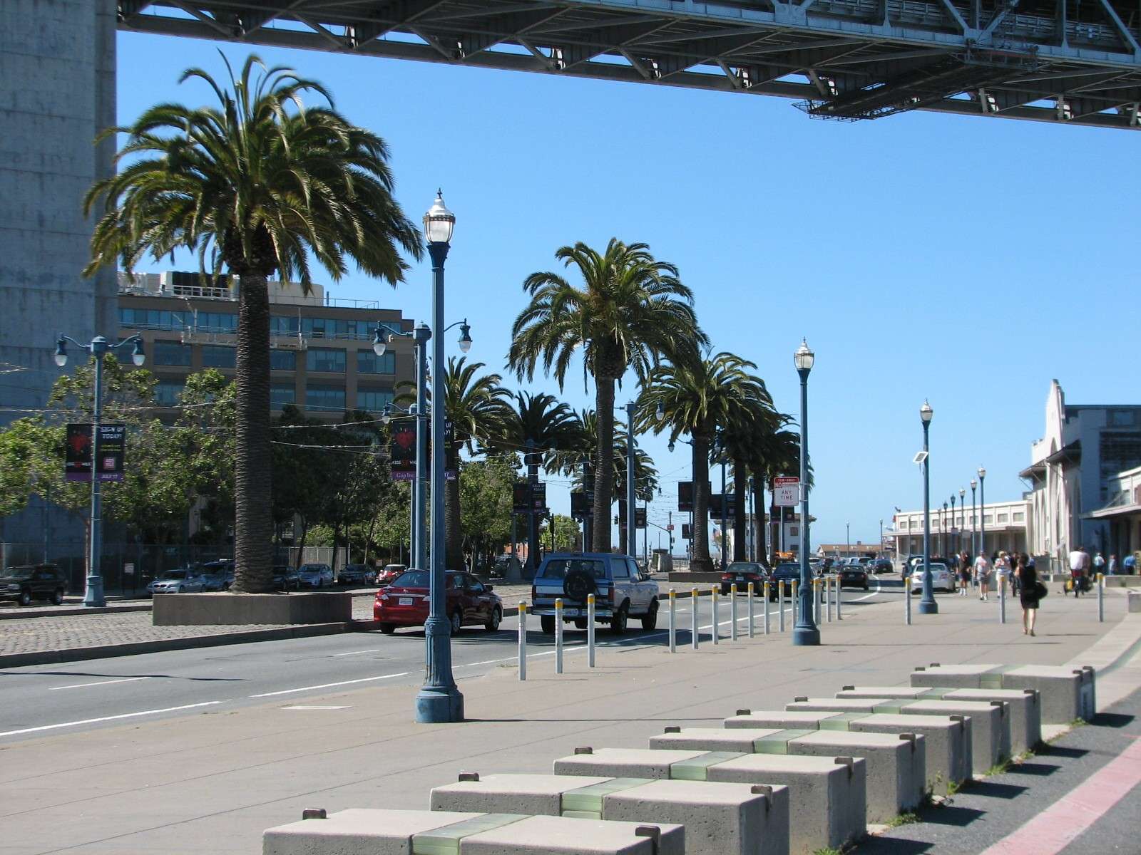
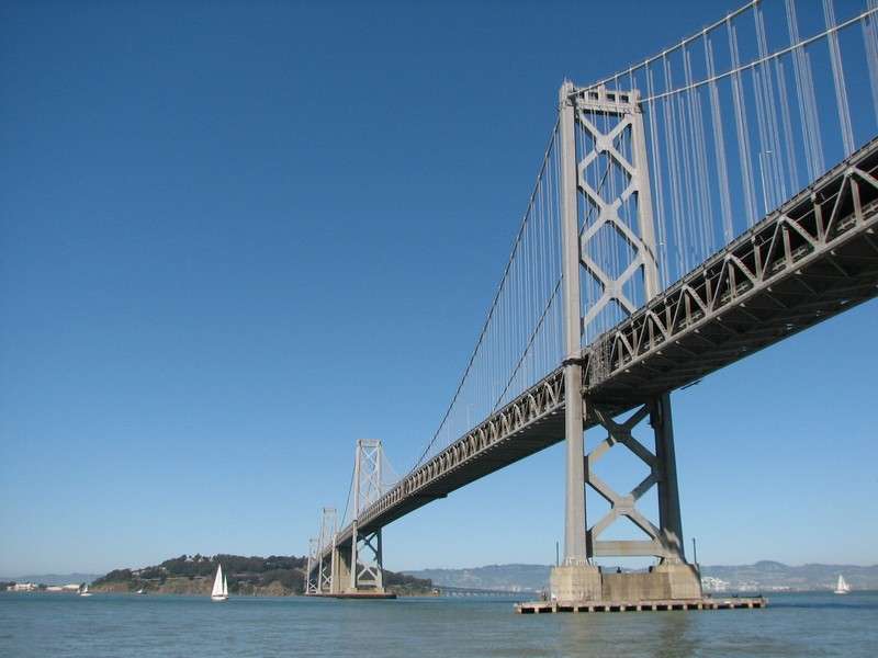
This stretch of the street and promenade fronts South of Market's South Beach neighborhood. Like the rest of The Embarcadero, the streetscape is treated consistently with a divided roadway with a median lined with cobble paving and Canary Island date palms on either side of light rail tracks. The light rail line in this section is the T-line, with modern trainsets that link downtown with the Southeastern part of the city. Views of the Bay Bridge become prominent at the point where it crosses overhead and lands a few blocks inland. The bridge goes across the bay to Yerba Buena/Treasure Island in the middle of the bay, then crosses the rest of the bay to Oakland (that second half is the major new section under construction next to the older one, out of view from this part of the city).
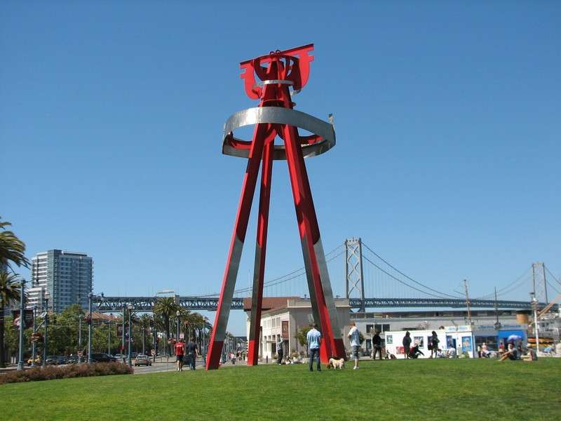
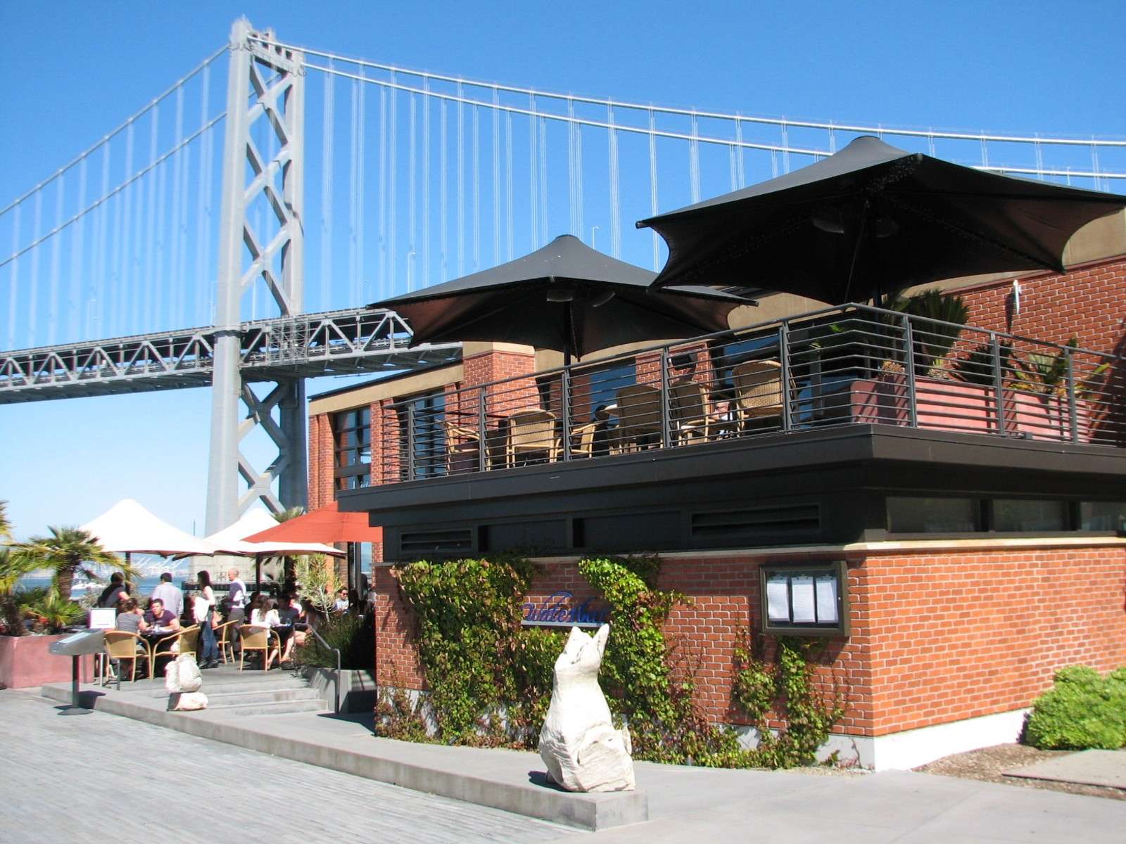
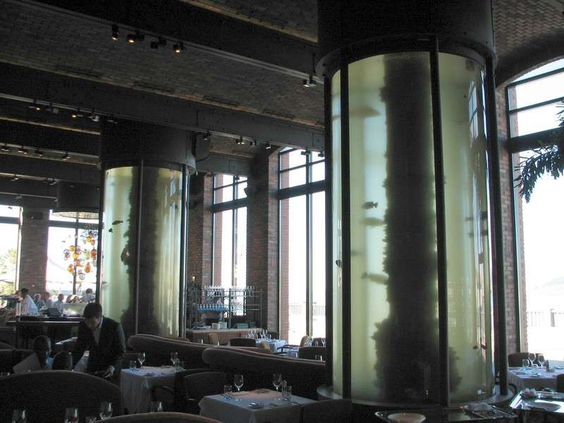
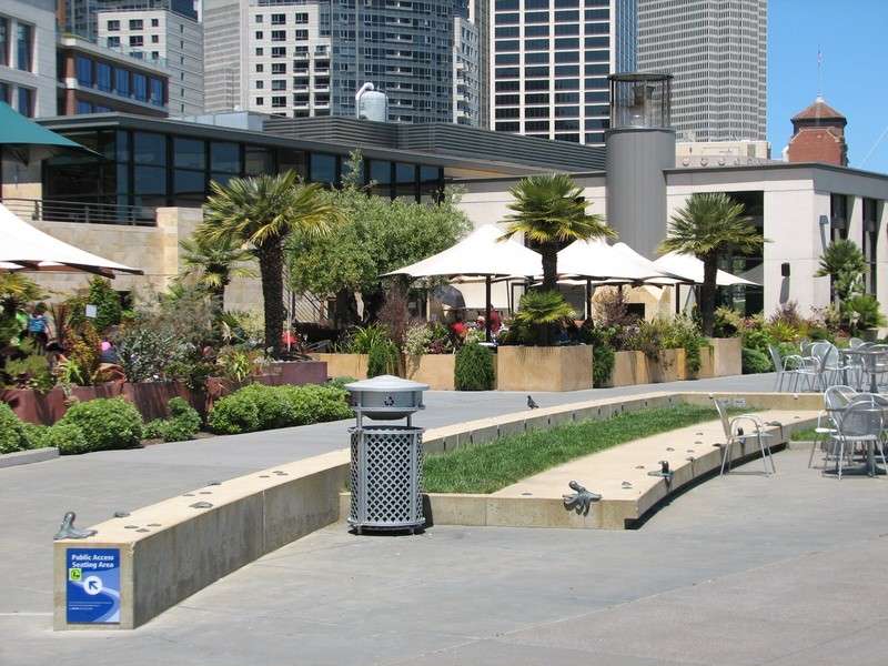
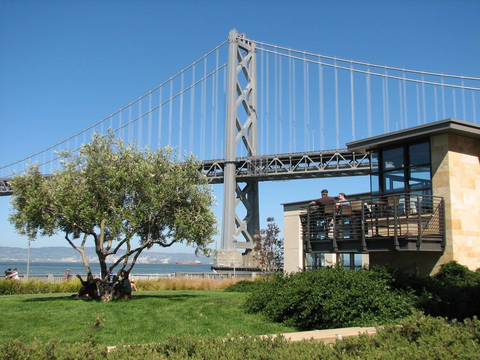
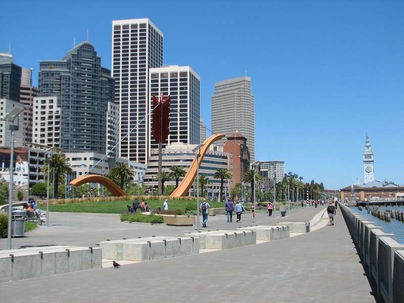
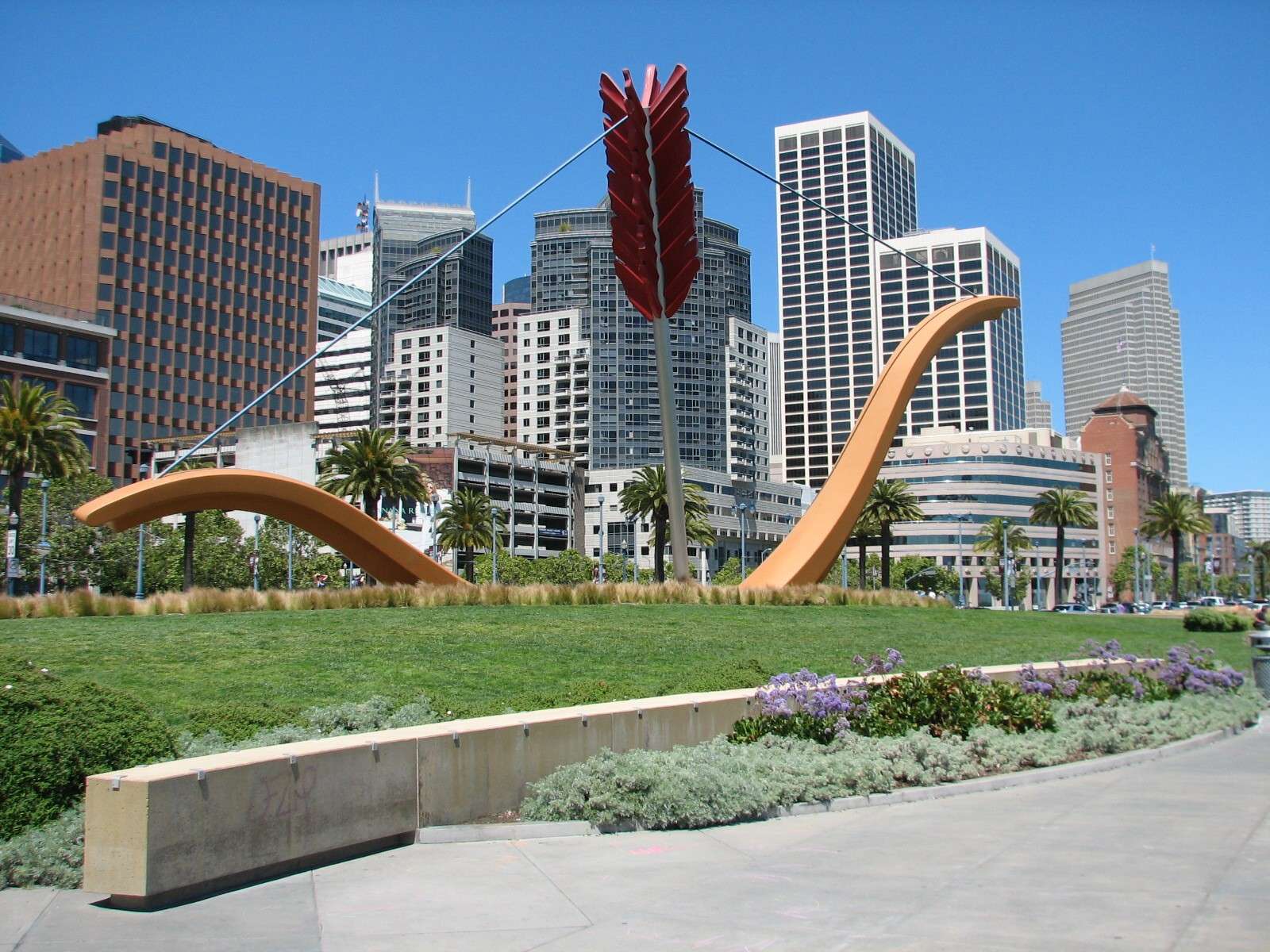
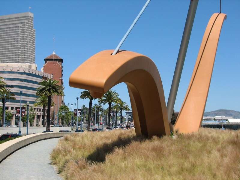
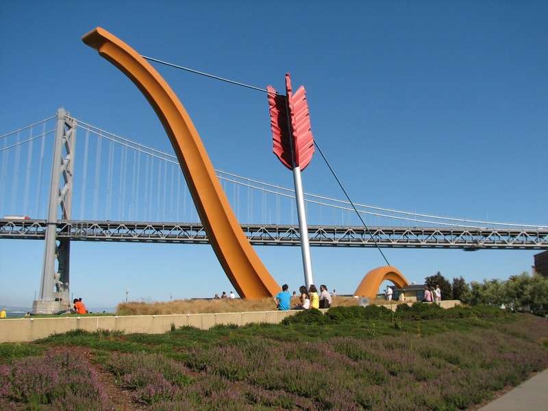
Rincon Park:
Just North of the Bay Bridge, this attractive park features two restaurants and 'Cupid's Span', a sculpture by Claes Oldenburg and Coosje van Bruggen.

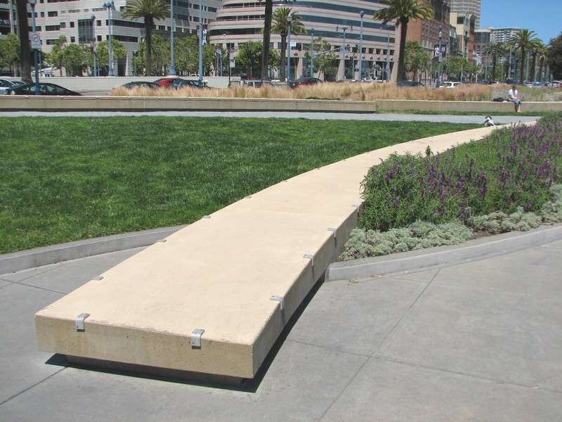
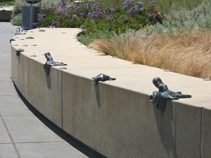
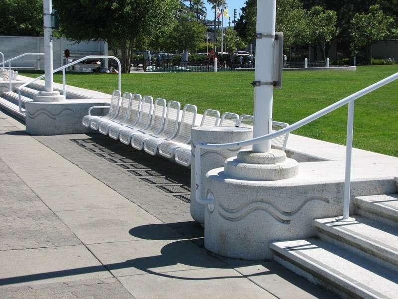
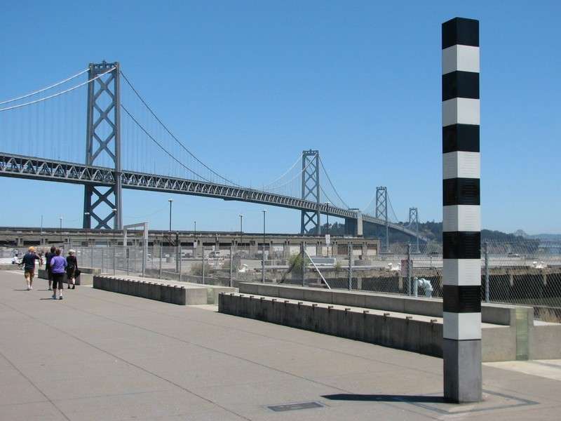
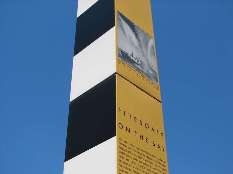
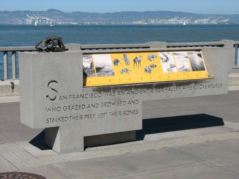
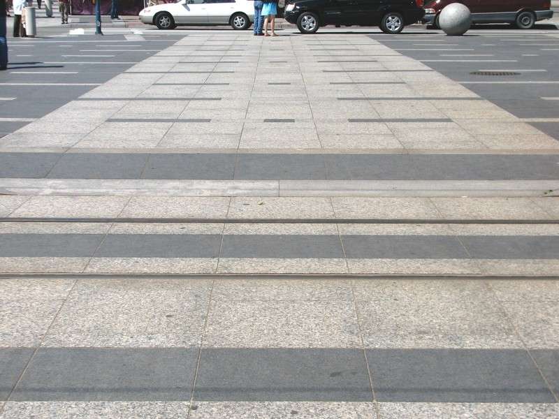
The Ribbon/Signs of History:
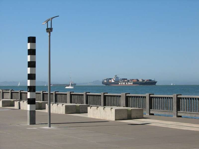
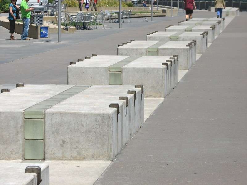
The entire length of The Embarcadero's waterfront promenade is treated consistently with a linear feature made of glass blocks (backlit at night wih fiber optic cable) set in a concrete band of walkway or series of low platforms. Occasionally, various plaques and podiums and columns are located nearby with historical information, each one consistent with the others.


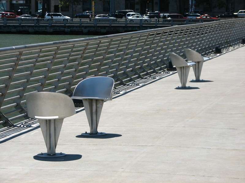
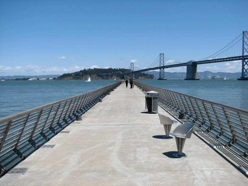
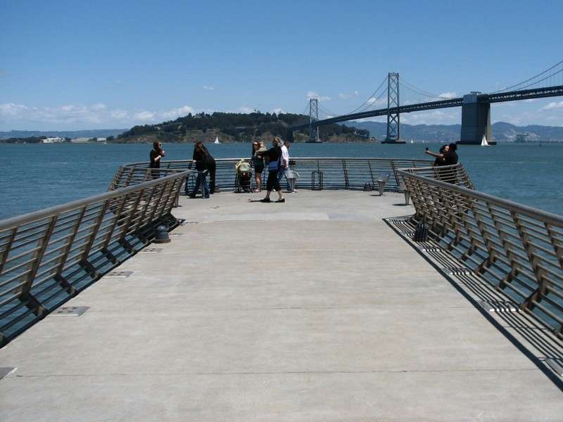
Pier 14:
This modern pedestrian pier features great views of the waterfront and bay.


Views of South of Market skyline from Pier 14:


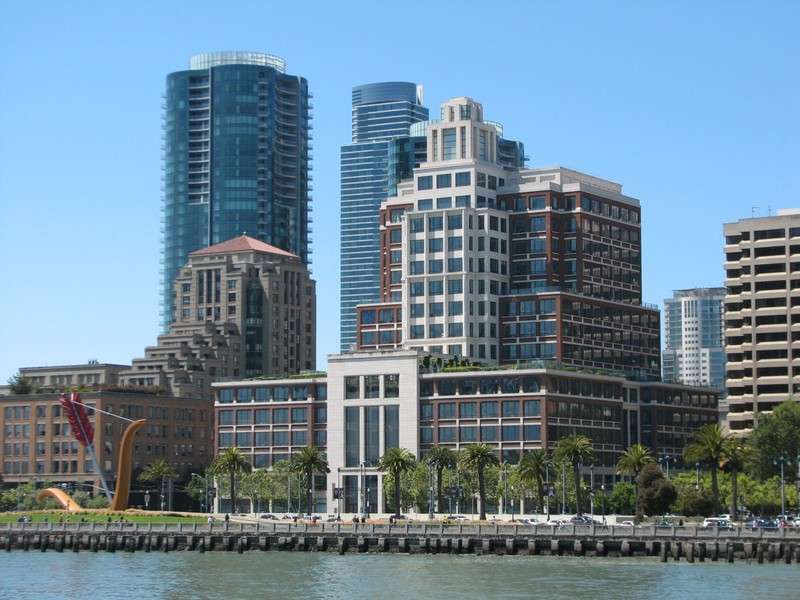
View of the Financial District from Pier 14:
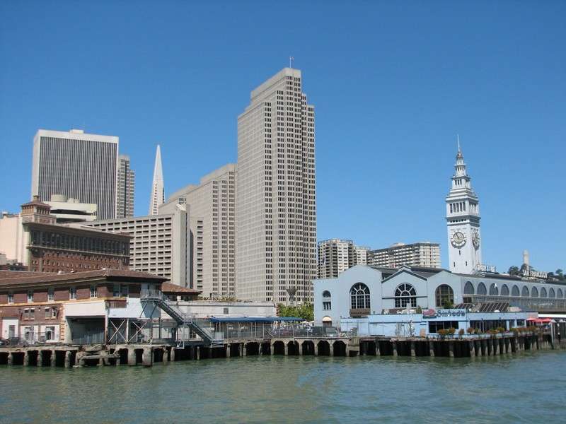
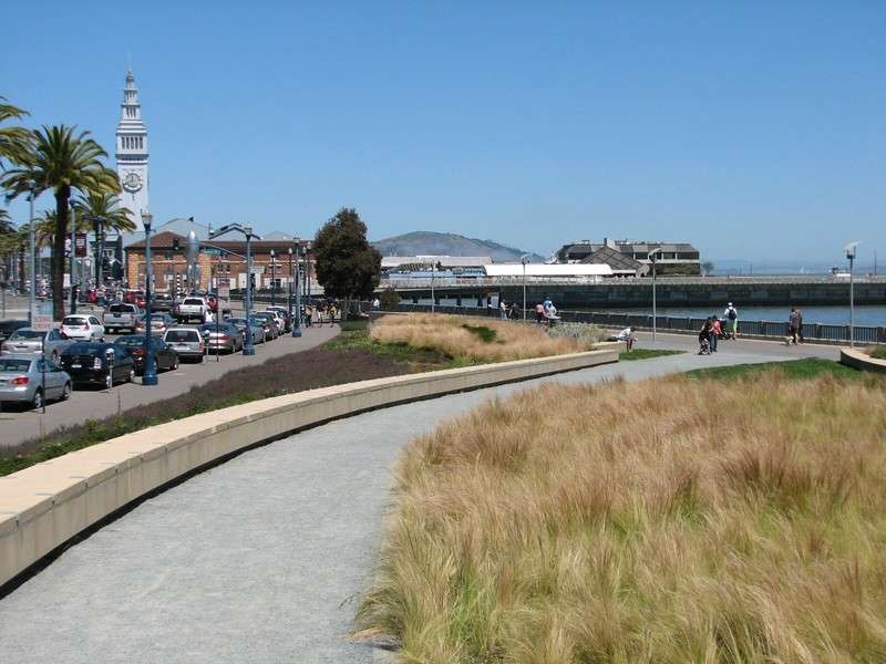
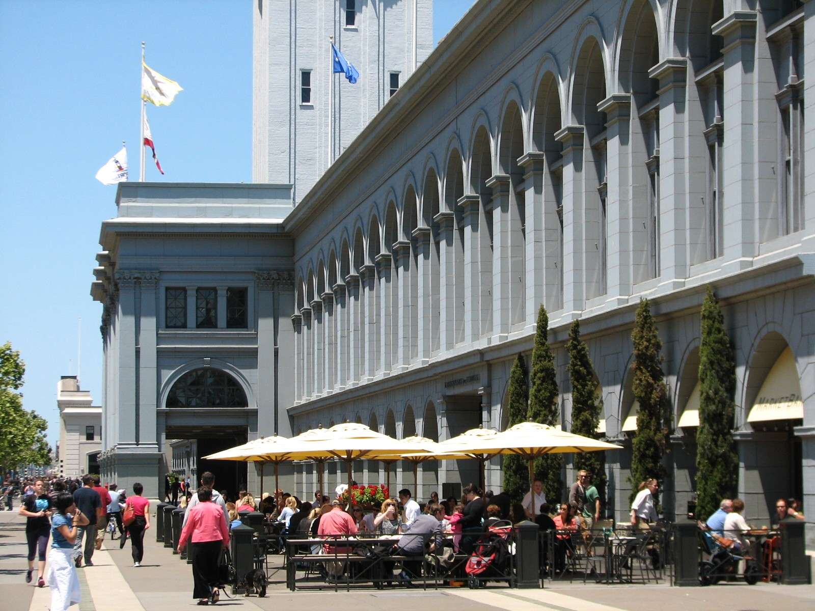
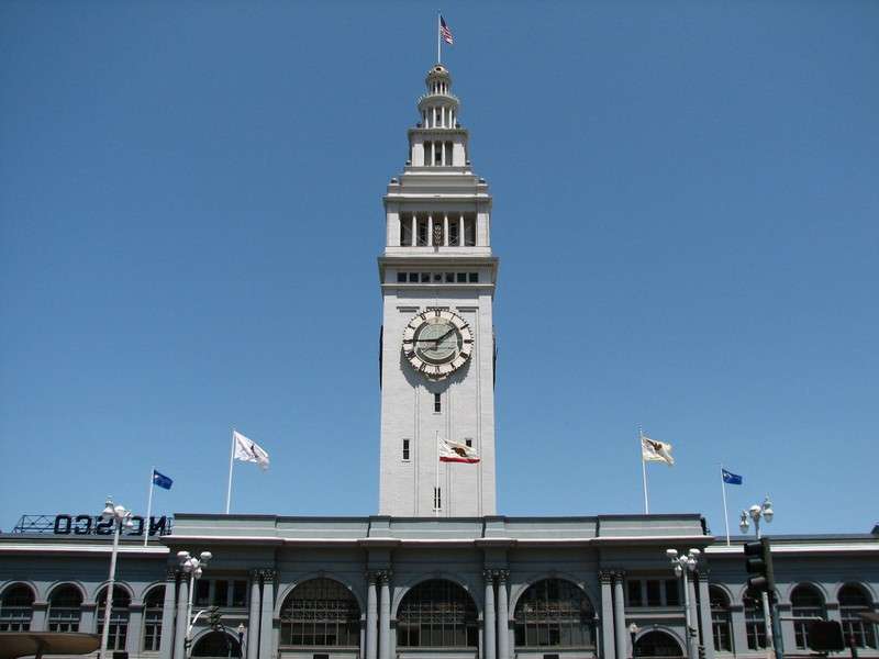
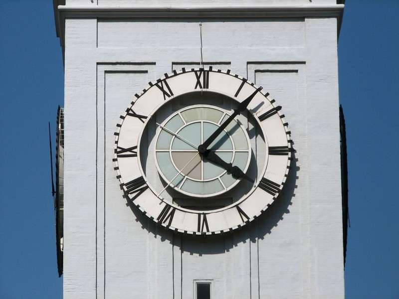
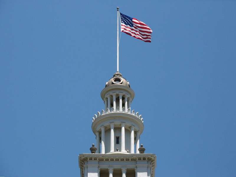
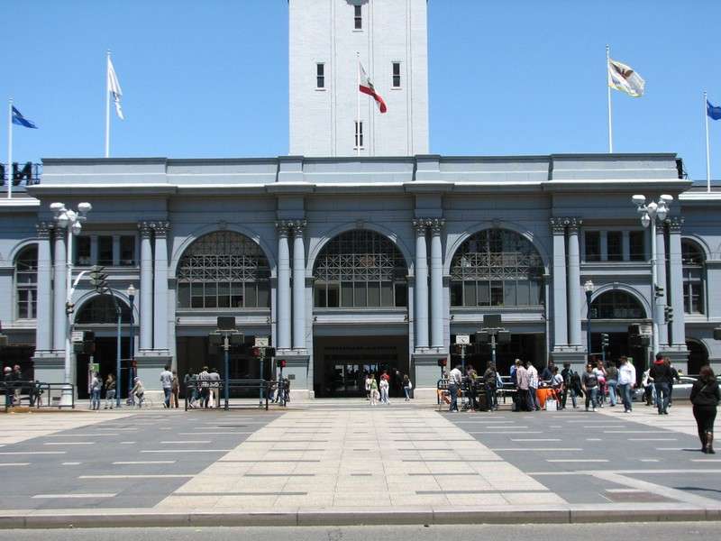
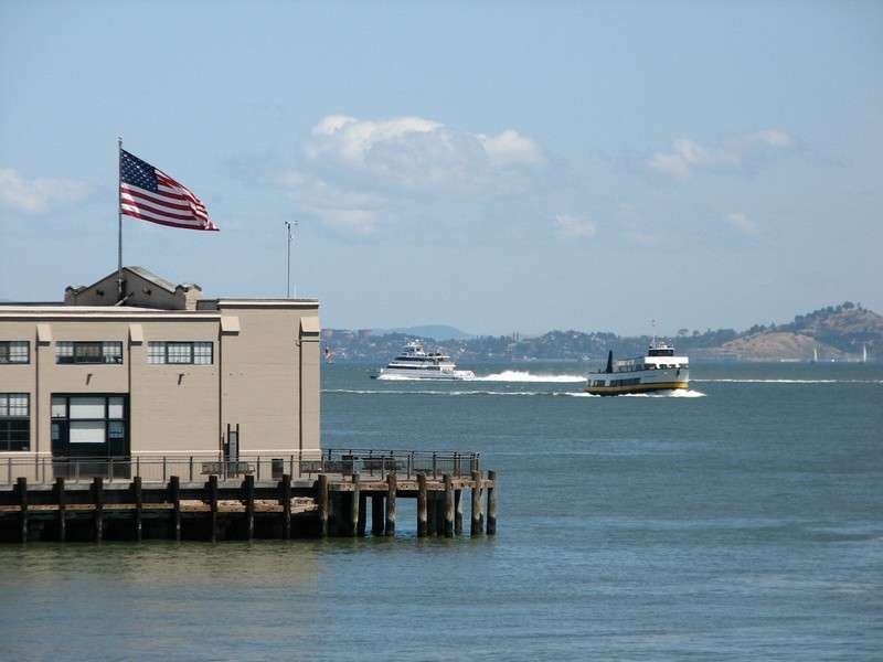
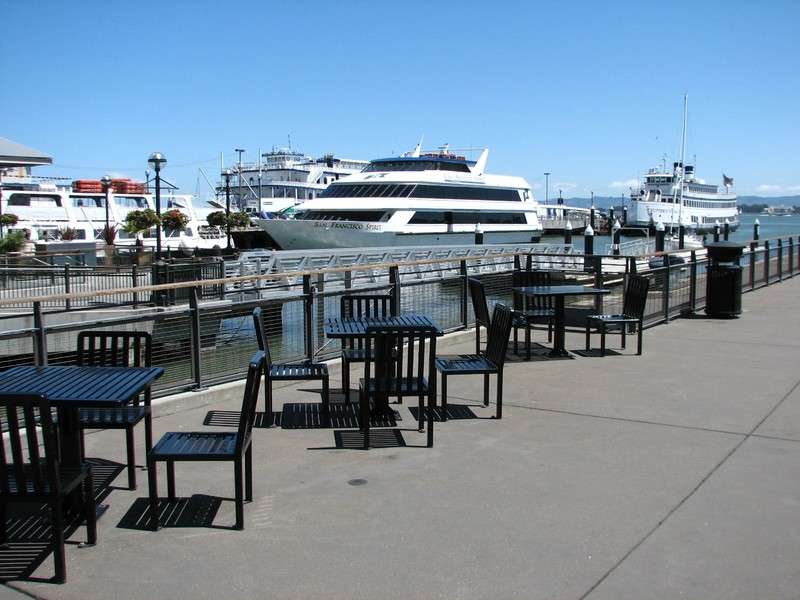
The Ferry Building:
This building dates to 1898 and was once reportedly the second busiest transit terminal in the world in the 1930's. It was the hub for the commuter ferries that went to numerous destinations around the bay, before the bridges were built. Several smaller ferries still operate multiple lines, and their docks are here on the backside of the building. The building was most recently restored in 2003; the upper floors are offices, but the lower floor houses the very successful permanent stalls and eateries of the Ferry Building Marketplace, which is expanded twice a week to an outdoor Farmer's Market surrounding the building. The building is the terminal of the axis of Market Street, the largest downtown street and the dividing line between the Financial District and South of Market area.


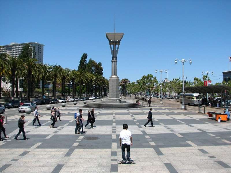
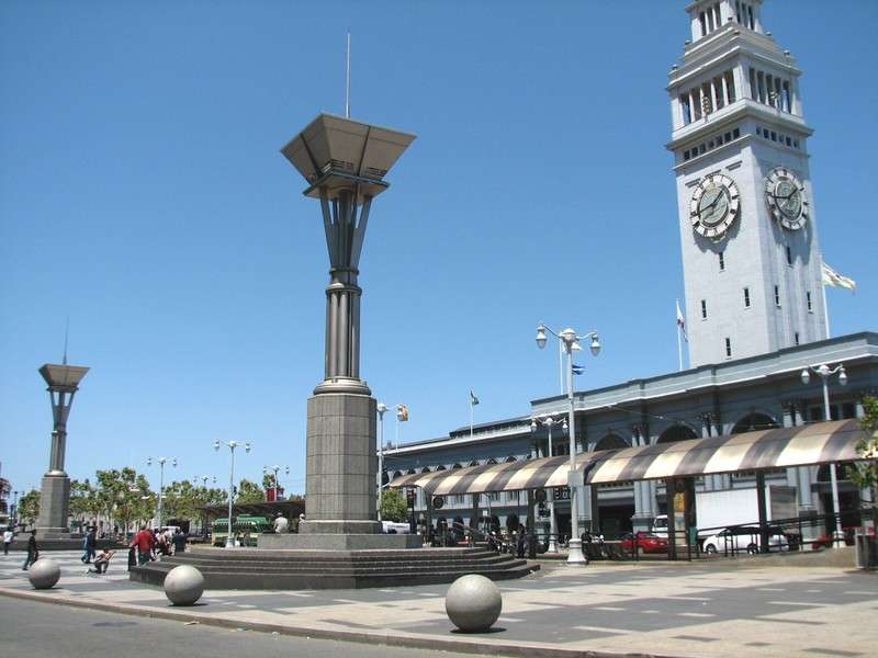
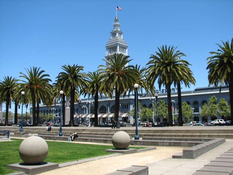
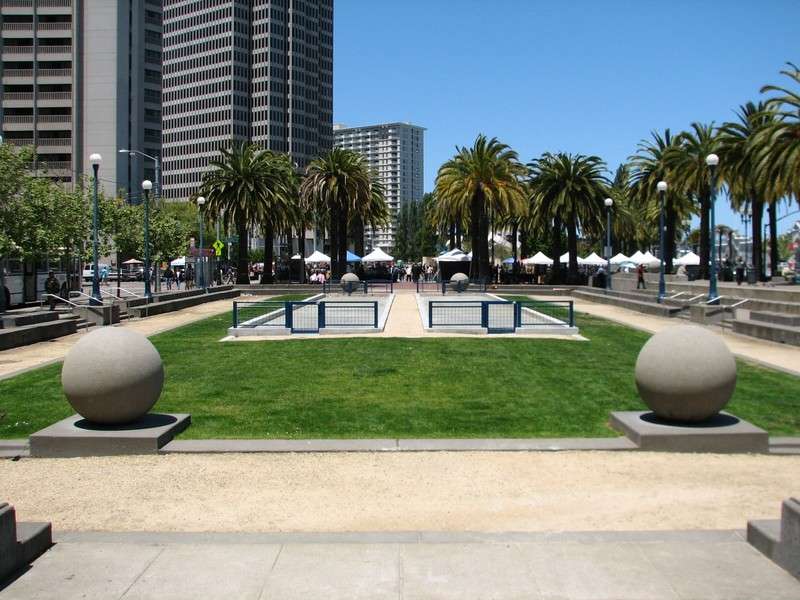
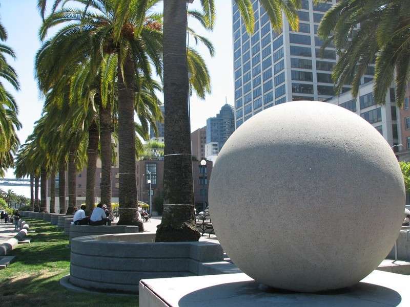
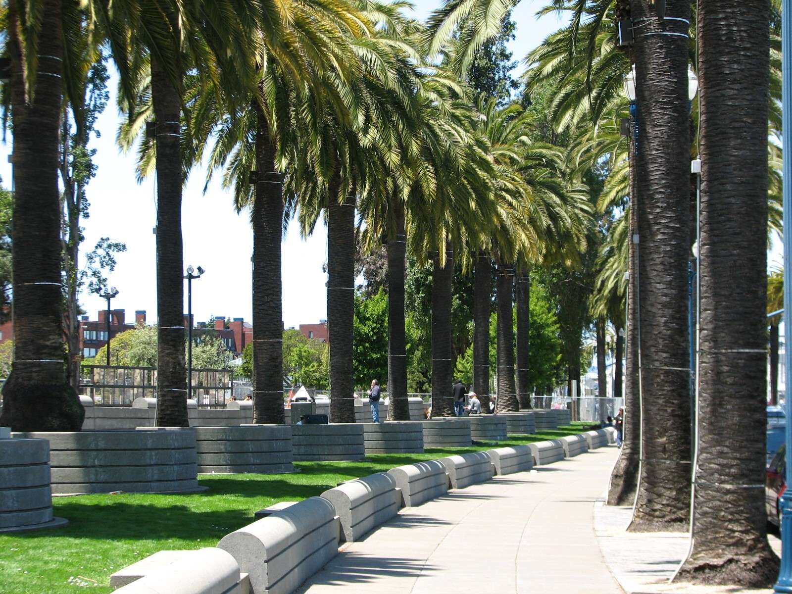
Ferry Building Plaza:
The Embarcadero street divides widely in front of the Ferry Building to form this plaza; on the inland side of the roadway is an additional park with Bocce courts and plam-lined walkways.

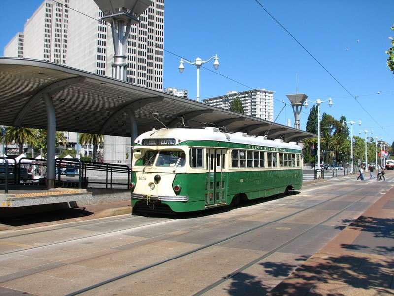
F-Line:
The light rail tracks that turn into the Ferry Building Plaza from Market Street and continue North along The Embarcadero to Fisherman's Wharf are used by this line, which features historic streetcars painted in the liveries of other cities which once had streetcars of the era. Part of this stretch was occupied by a massive double-decked freeway until the 1990's and is thankfully gone!

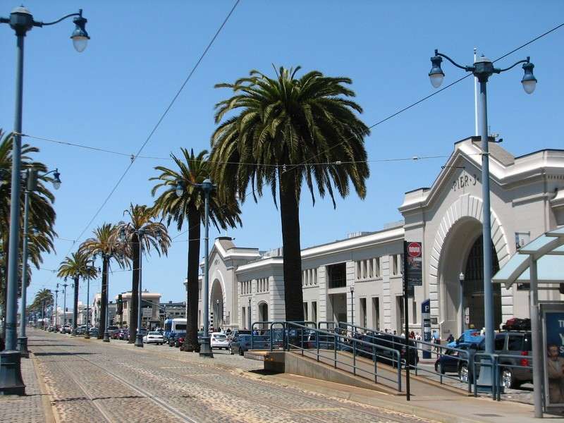
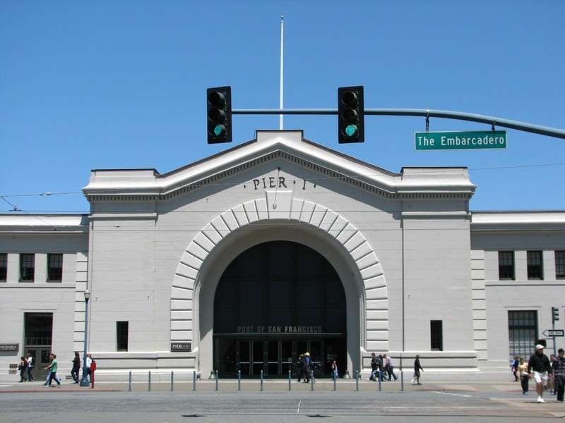
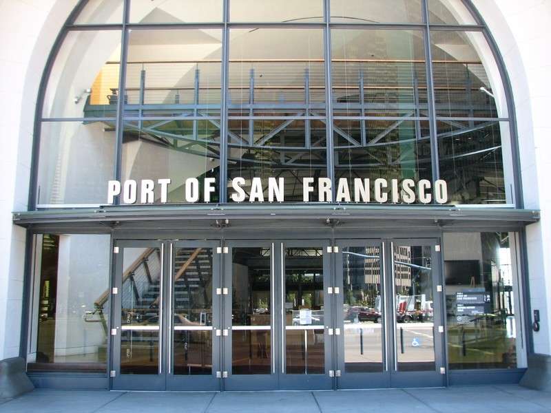
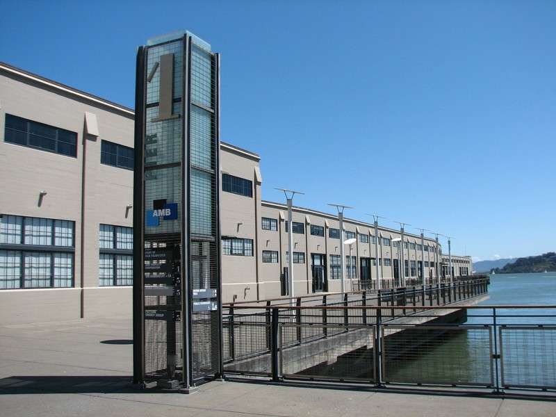
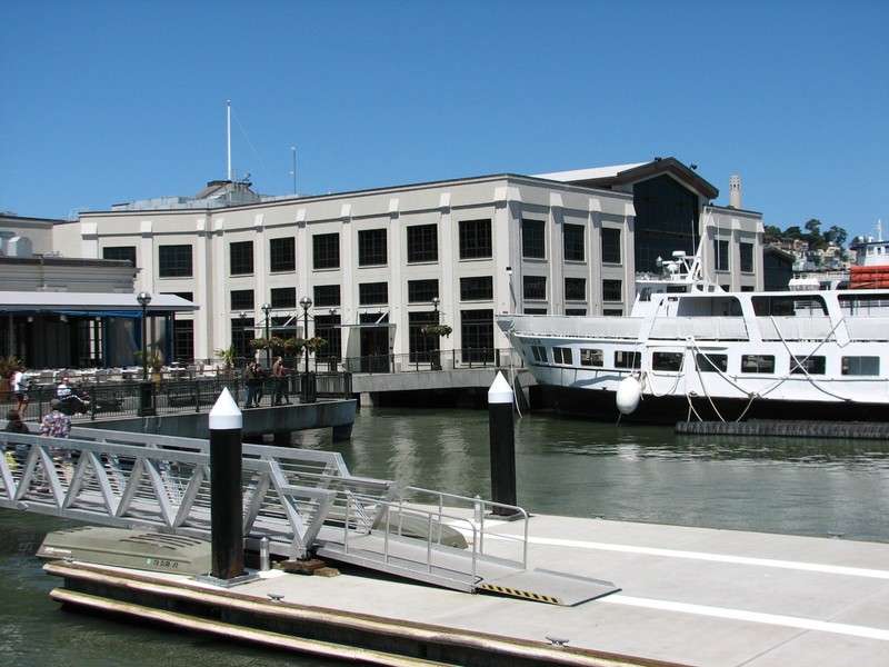
Piers 1, 1-1/2, and 3:
These historic piers have been renovated for offices and a few restaurants surrounded by docks for larger boats and public walkways. Going North from here, many of the other remaining piers have identical facades along the street.
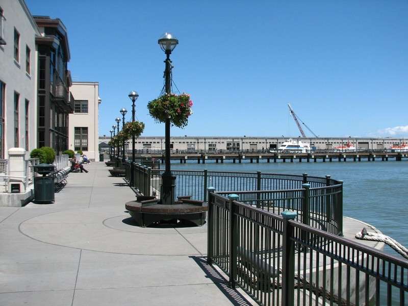
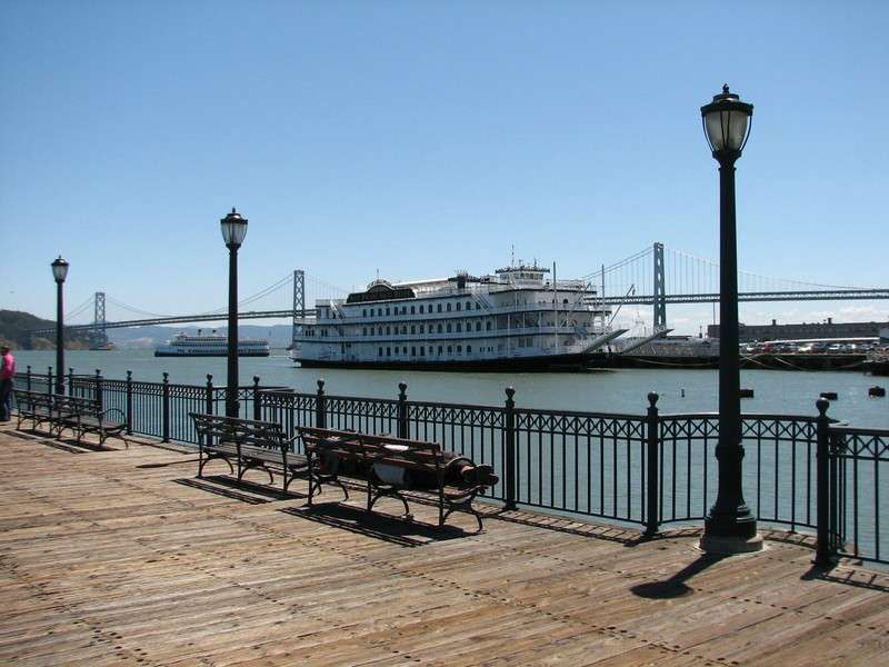
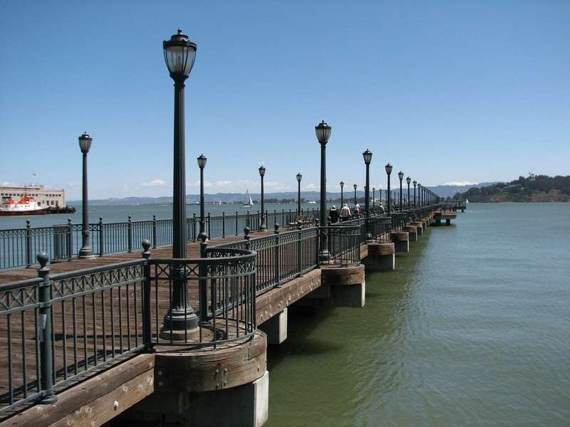
Pier 7:
This pedestrian pier was built in the modern era but strives for an older aesthetic than the slick Pier 14 seen earlier.
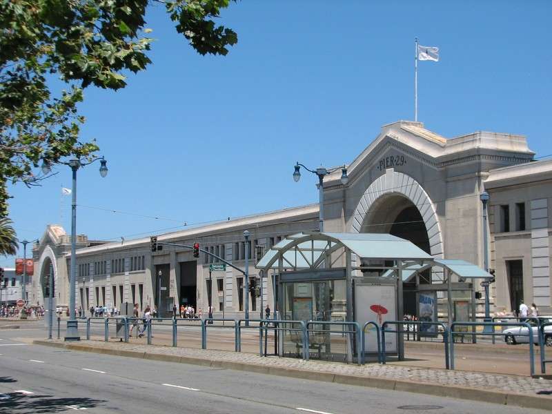
Piers 29 and 31:
These are near the North end of The Embarcadero before it becomes Fisherman's Wharf.
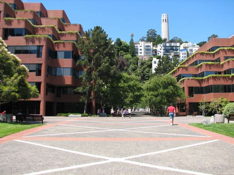
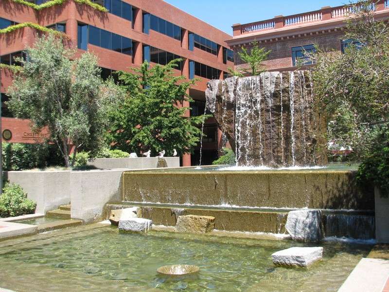
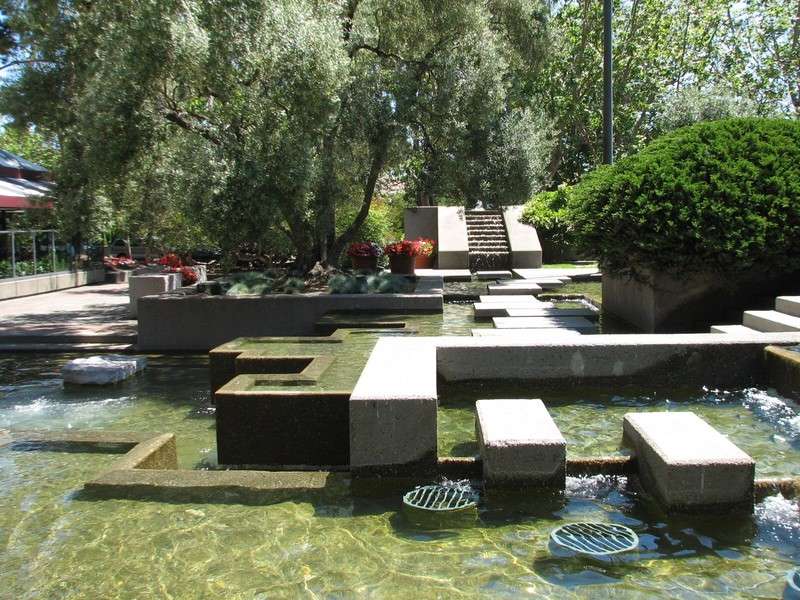
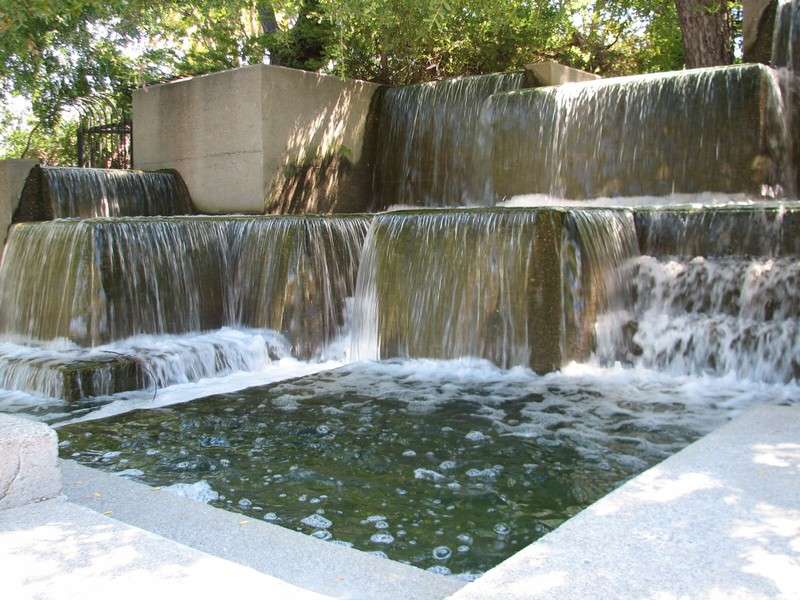
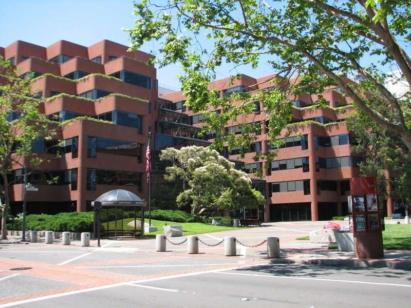
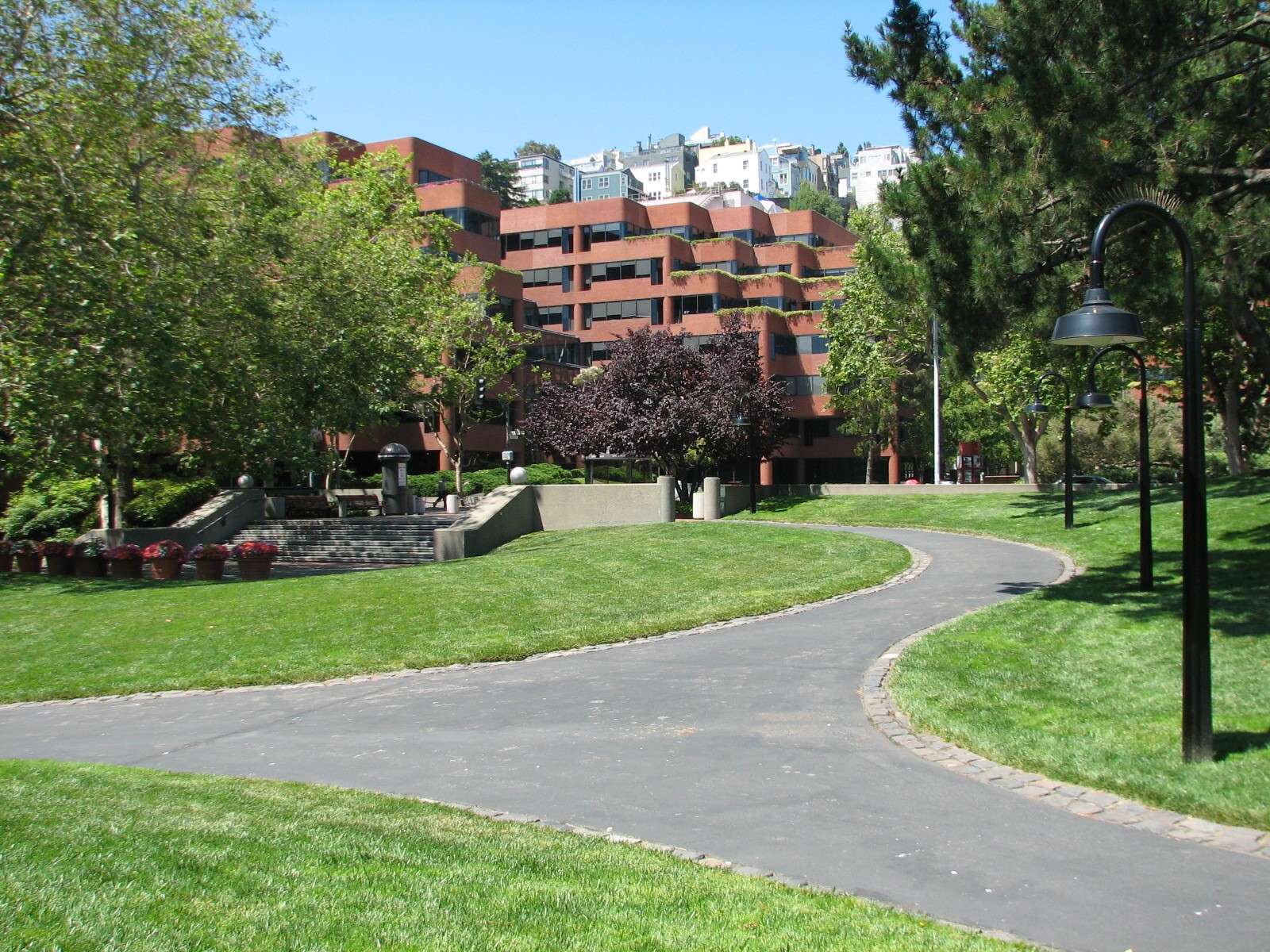
Levi's Plaza:
On the inland side of the street near the North end and at the foot of Telegraph Hill are several blocks occupied by this 1970's complex that is the headquarters for Levi Strauss & Co, the clothing company with historic ties to the city. The landscape that ties the blocks together was designed by Lawrence Halprin and features a few of his hallmark concrete water features.


All photographs taken in 2011 (except a few from 2005-2010) by geomorph.