Map of the Burnside District from My Developments Map:
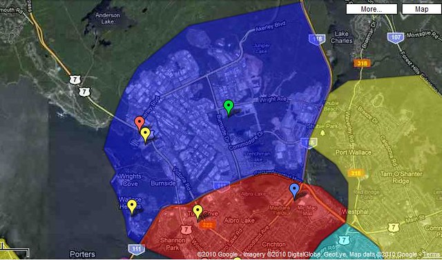 Neighourhoods Included In District:
- Bedford Institute Of Oceanography (BIO)
Burnside Industrial Park
City Of Lakes Business Park
Dartmouth Crossing
Wright's Cove
Related Threads:
RCMP HQ - Burnside
Harbour Isle | 17-9-9-9 floors | ? m | Approved
Dartmouth Crossing - Ongoing Additions
[DARTMOUTH] Wright's Cove | ?m | 6fl | Proposed
Coast Guard Headquarters | ? m | 5 fl | Tender
Park Place V | ~20M | 5 Fl | Completed
Series Information:
The "districts" and "areas" series is based upon my Developments Map (see above for link). It is designed to allow discussion on the district in general and provide a place for smaller developments in the area to have a place to be discussed. Larger projects will have a seperate thread that will be linked to this post in the space above.
This thread is the first of the series and will focus on the district commonly referred to as Burnside (Dartmouth - Burnside). This area consists of Dartmouth west of Highway 118 and north of Highway 111.
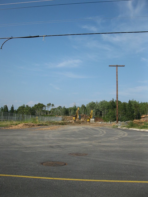
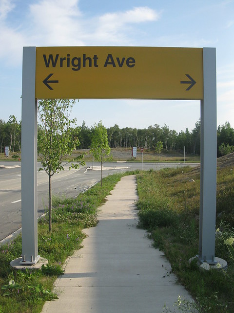
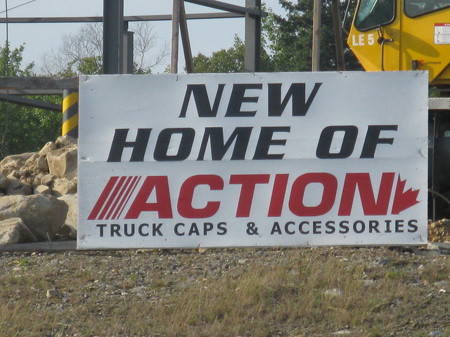
To kick off this thread here are some photos I took in Burnside Park around the newer section of Wright Avenue;
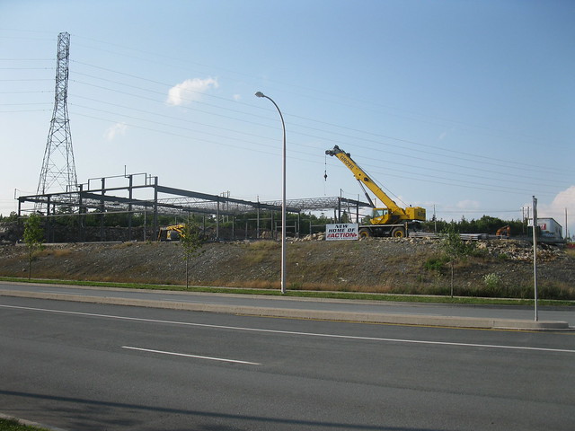
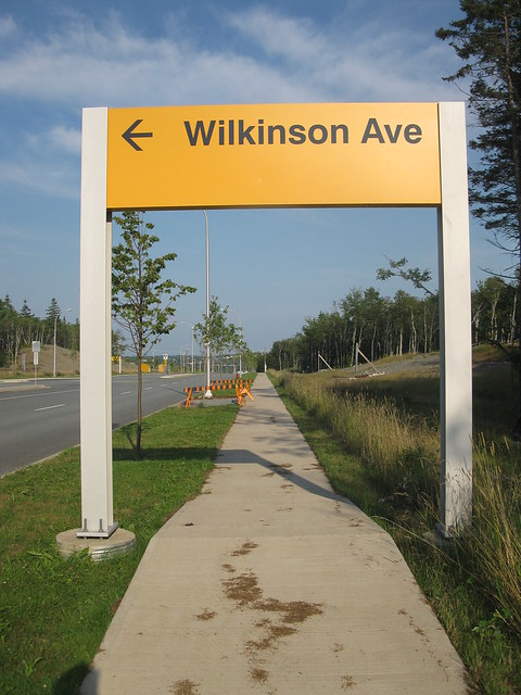
And a new street going up off of Wilkinson Avenue;