In the 1940s, there were plans to completely encircle downtown Jacksonville with a ring of highways. Thank goodness that was just about the
only part of that 1940s highway plan that
wasn't built. The following is pretty much what was:
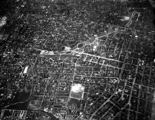
This early 20th cent. aerial shows how Jacksonville's neighborhoods were all connected. I-95 cut right through the bottom half of this photo, from left (N) to right (S):
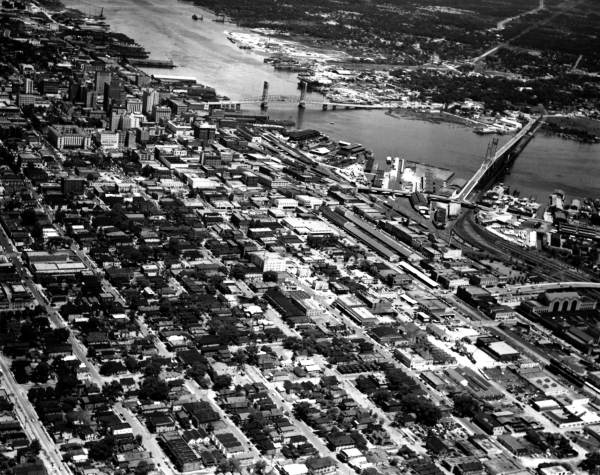
1940s - A similar angle, a little more SE (N to the left, S to the right still), showing downtown in the b/g:
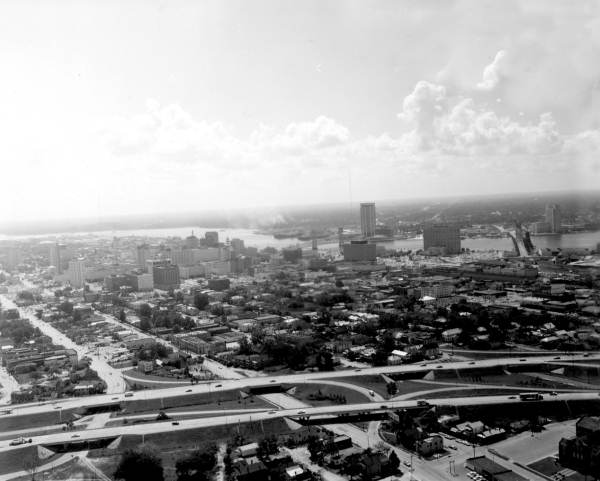
Same general view as above, this time in the 1960s, lovely I-95 joins the scene (presently it's being widened to some monstrous proportions, not that there's much left nearby to knock down). The neighborhood you see here between downtown and the highway, called LaVilla, was "renewed" in the '90s -- we all know what that means:
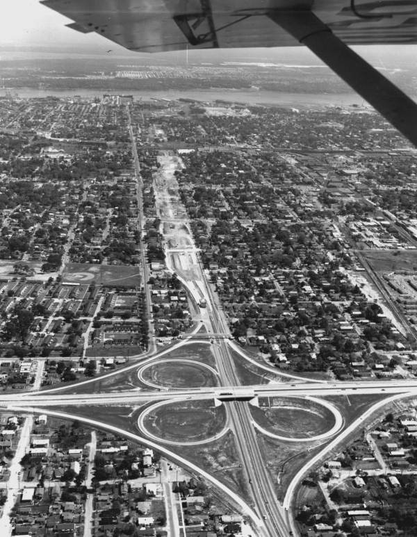
Very near the above photo, to the South and facing South, this is the I-95 / I-10 interchange in 1972, built right in the middle of an established neighborhood, Riverside, which is now part of the largest nat'l historic district in Florida (and could have been a bit larger if not for this):

-----------------------------------
Facing East, Here's the "20th st expressway" u/c on the city's Northside in the 1960s, with I-95 crossing it left-right. Downtown would be to the right. The expressway would eventually turn sharply to the right (S) and head to the "stadium district" in the following pics:
-----------------------------------
1981 -- Looking South, these highways and the "stadium district" (the old Gator Bowl, Veterans Memorial Colisium, and Wolfson Park -- now all 3 replaced by more modern structures) replaced almost the entire neighborhood of East Jacksonville, one of the most historic neighborhoods in the city:
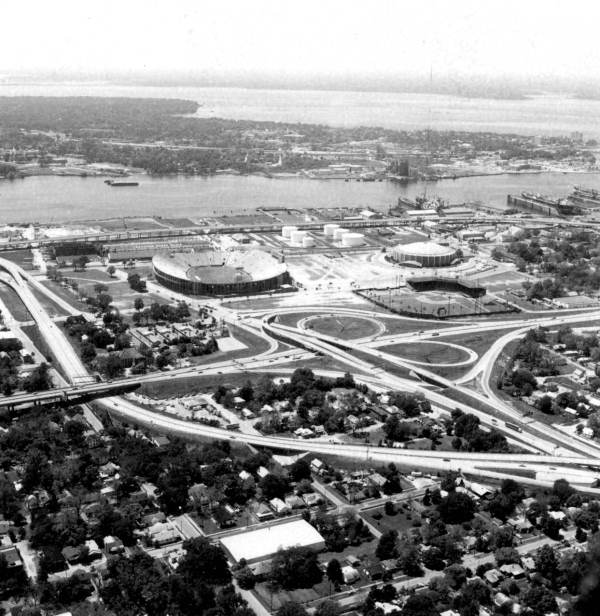
1959 -- Going back in time, when the destruction began: This is the same interchange as above (looking East) before the 2nd highway was built to cross it as this same point (the 20th st expressway after its turn South, as described earlier). The first highway, seen here, and the bridge was the Arlington Expressway, which opened up the other side of the river to massive suburban developments. Notice how there are houses still surrounding the Gator Bowl and Wolfson Park, but the damage had already begun:

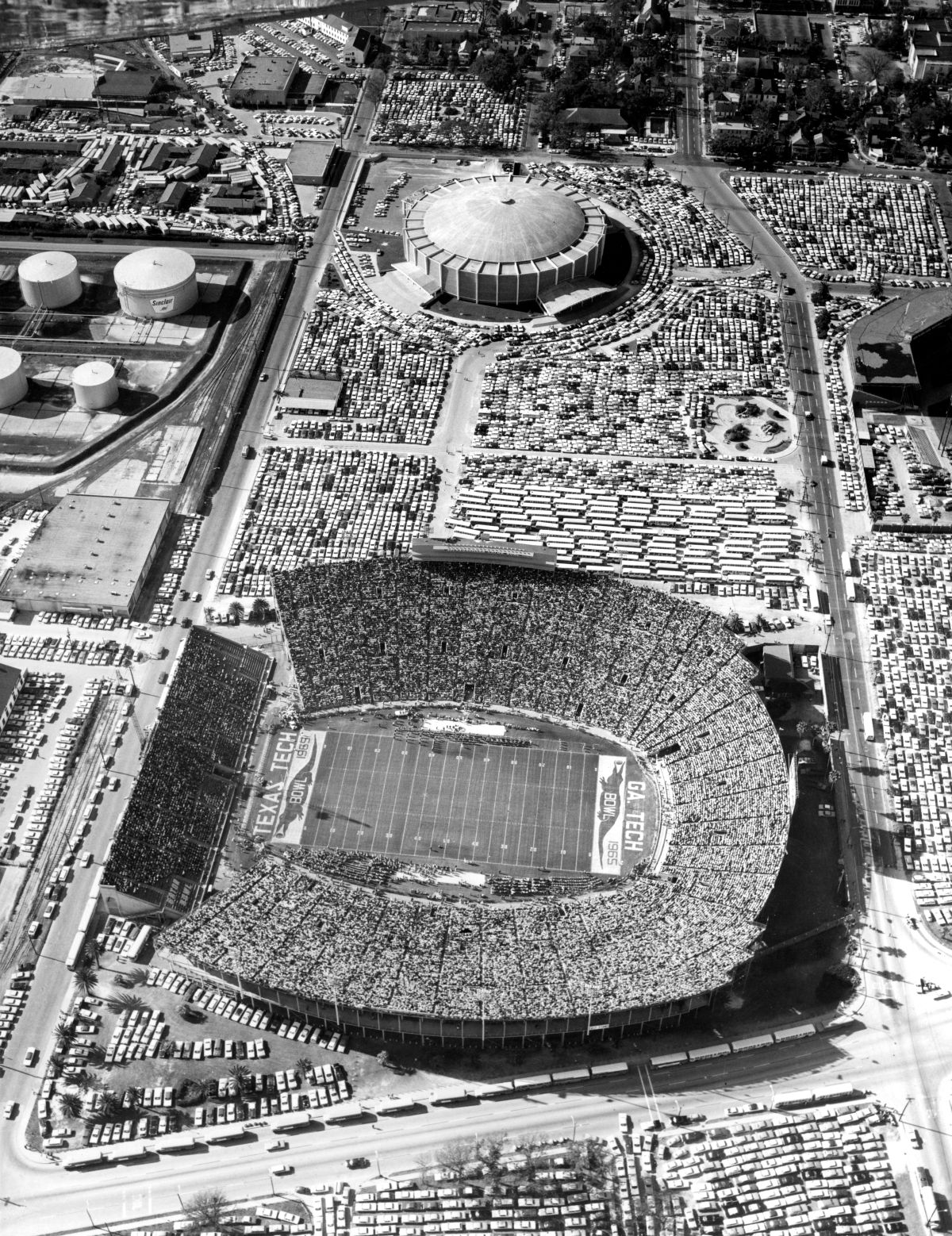
1965 -- same area, without houses (see why they were eventually demolished? Where else would people park for the game!!)
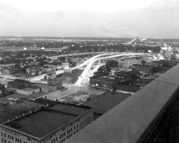
1972 -- where east edge downtown streets morph into highway ramps leading into the "stadium district":
The stadium district today:

-----------------------------------
Other changes, one could say resulting from the highway construction:
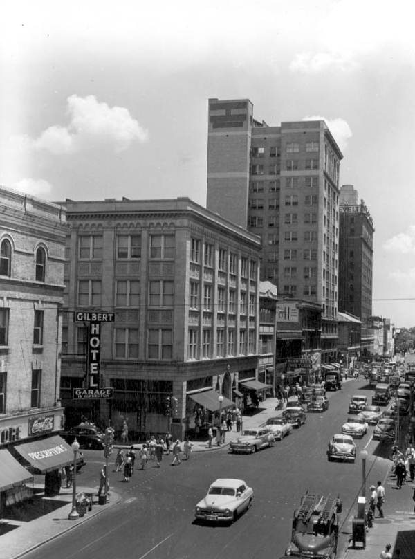
Downtown Jacksonville in the 1940s:
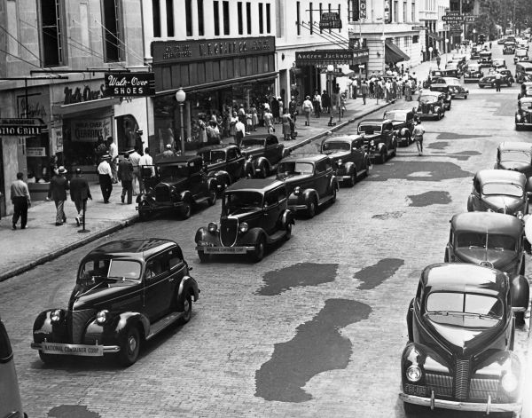

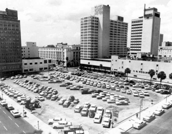
Then it all started to fall apart...
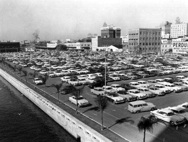
Dun dun DUN!!!
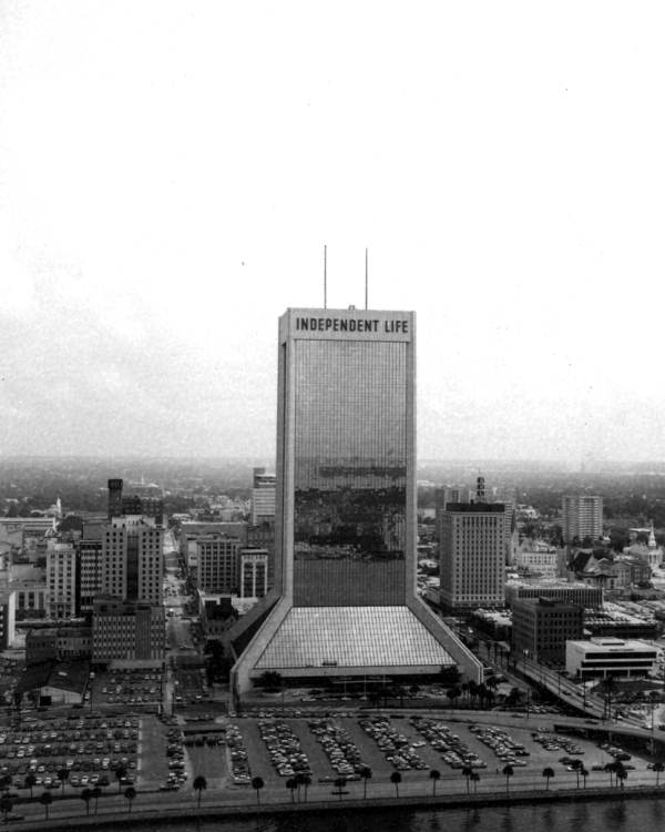


Whew!
Tradition vs. modernity vs tradition vs modernity
