Part 1 of my 2-part series from the Rail~volution transit conference last month focused on the central city and transit. Now part 2 will focus on the next ring out.
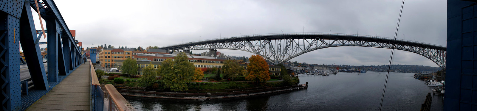
We'll start with a couple of bridges in the Fremont neighborhood. The Aurora Bridge and Fremont Bridge are 2 of the 7 spans across Seattle's ship channel, connecting the main part of the city with North Seattle. This first picture is from Fremont Bridge, looking at the larger Aurora Bridge:
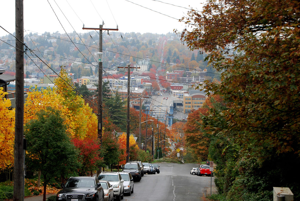
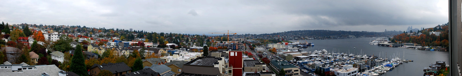
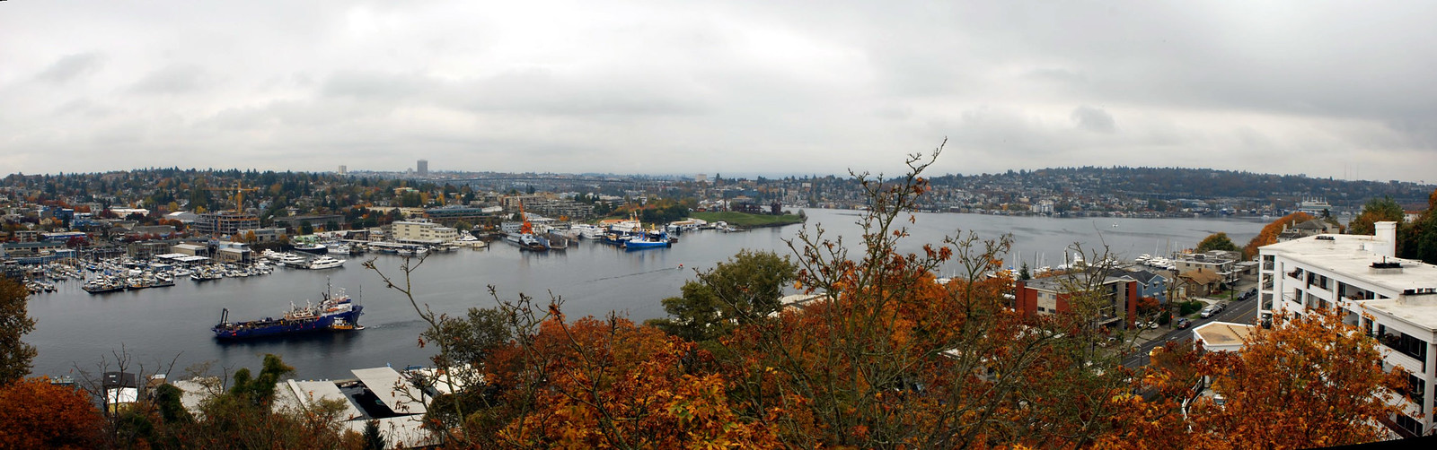
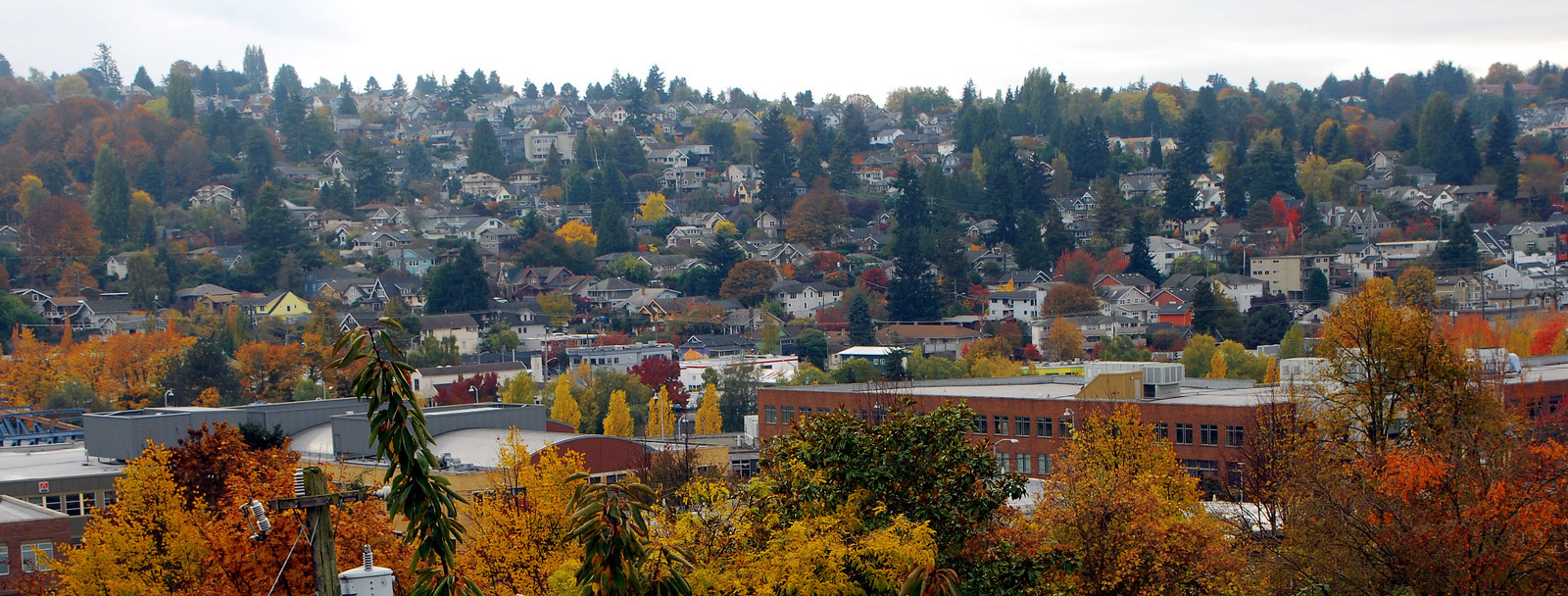
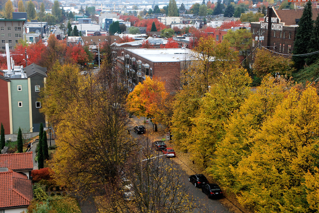
To get from one to the other, I started in Fremont (centered in this next picture), walked across the small Fremont Bridge, and then up this giant hill to get to the footings of the Aurora Bridge.
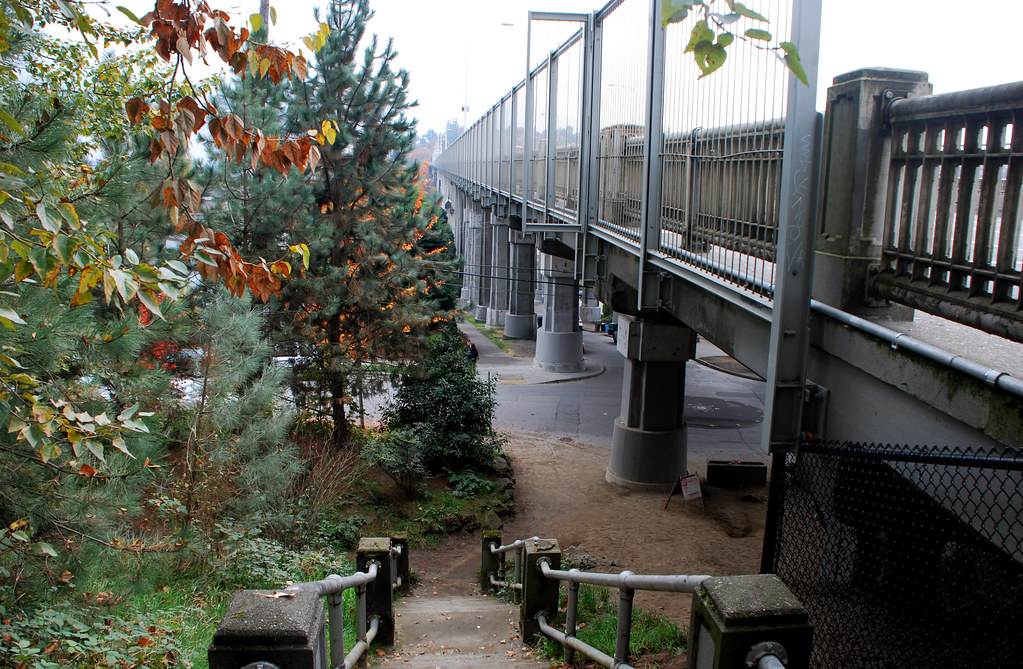
Now, to cross the Aurora and enjoy its expansive views.
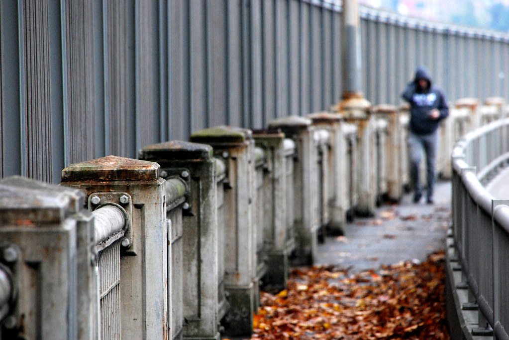
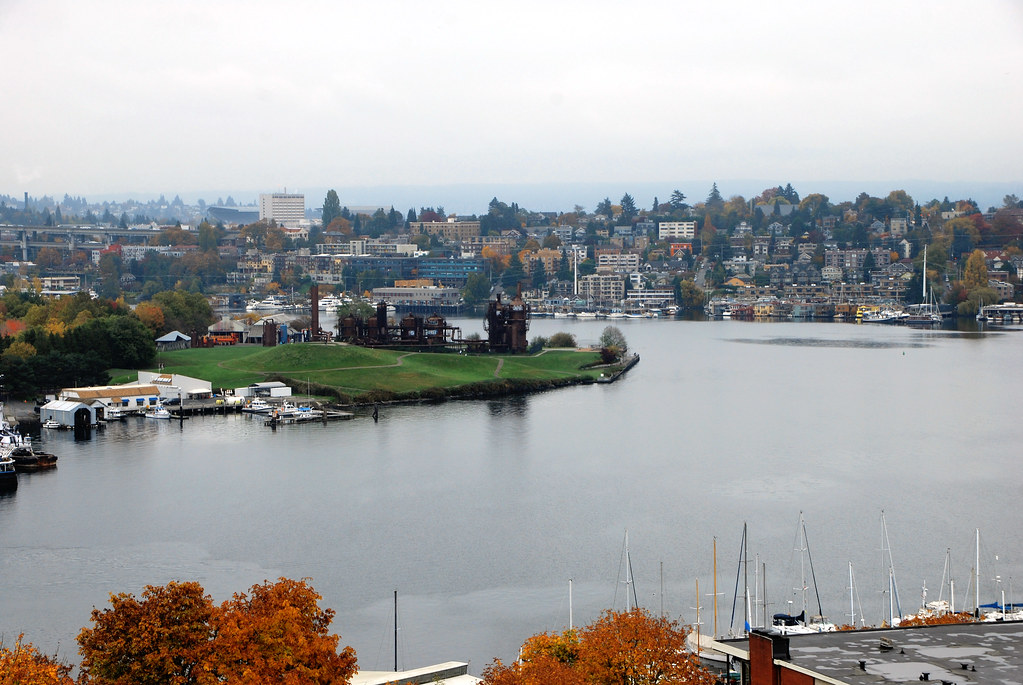
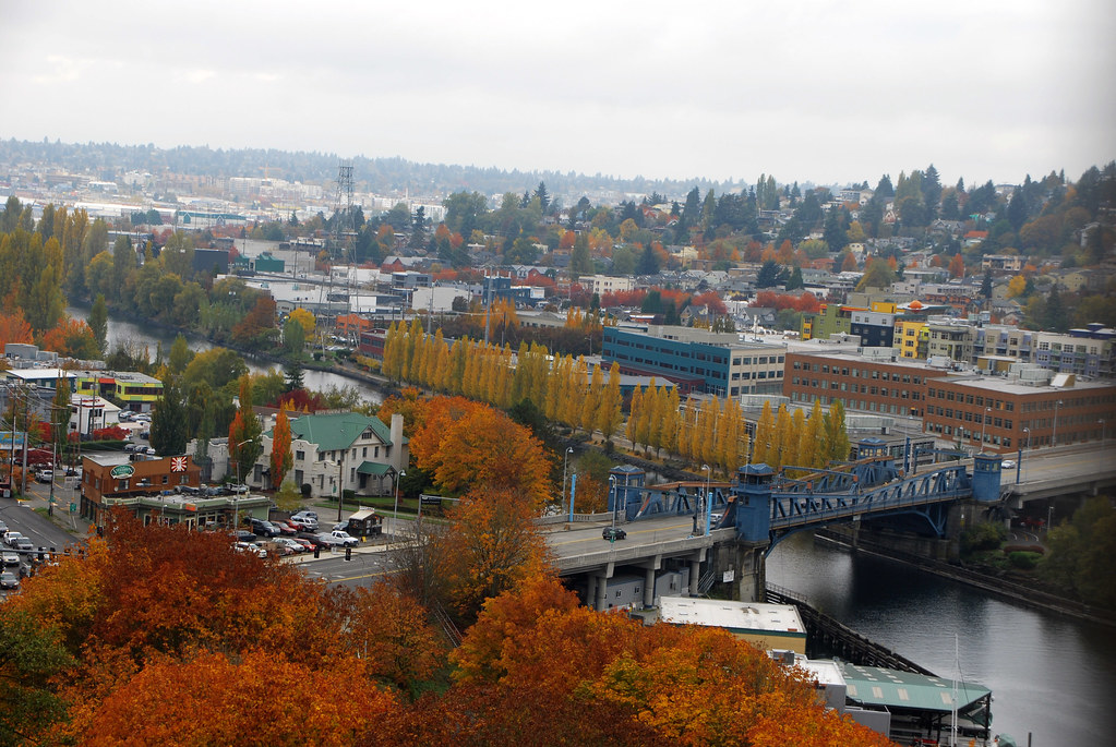
Looking down on Fremont Bridge:
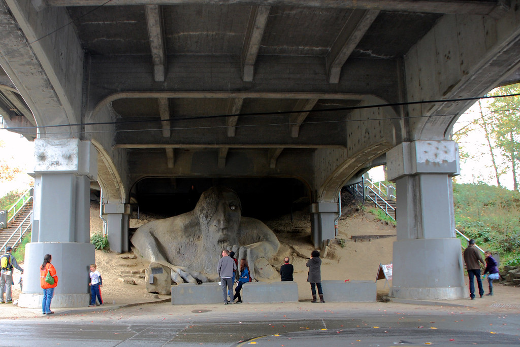
After reaching the Fremont (North Seattle) side, I walked down these steps to find Fremont's most famous landmark...
... A giant troll under the bridge.
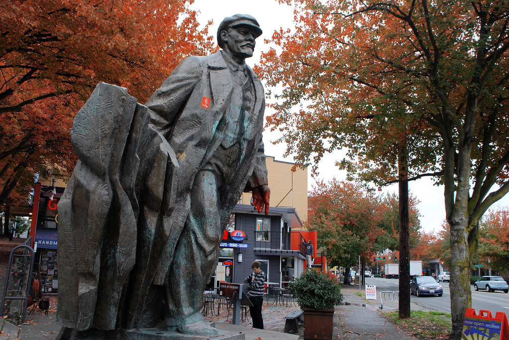
The 2nd most famous landmark is a statue of Lenin.
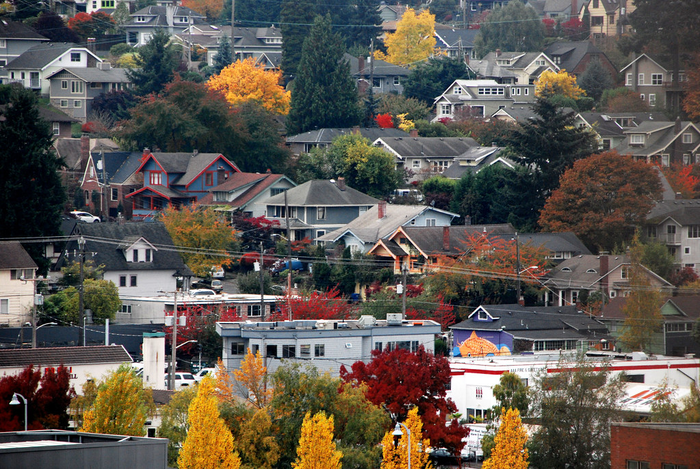
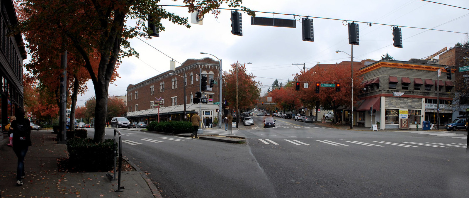
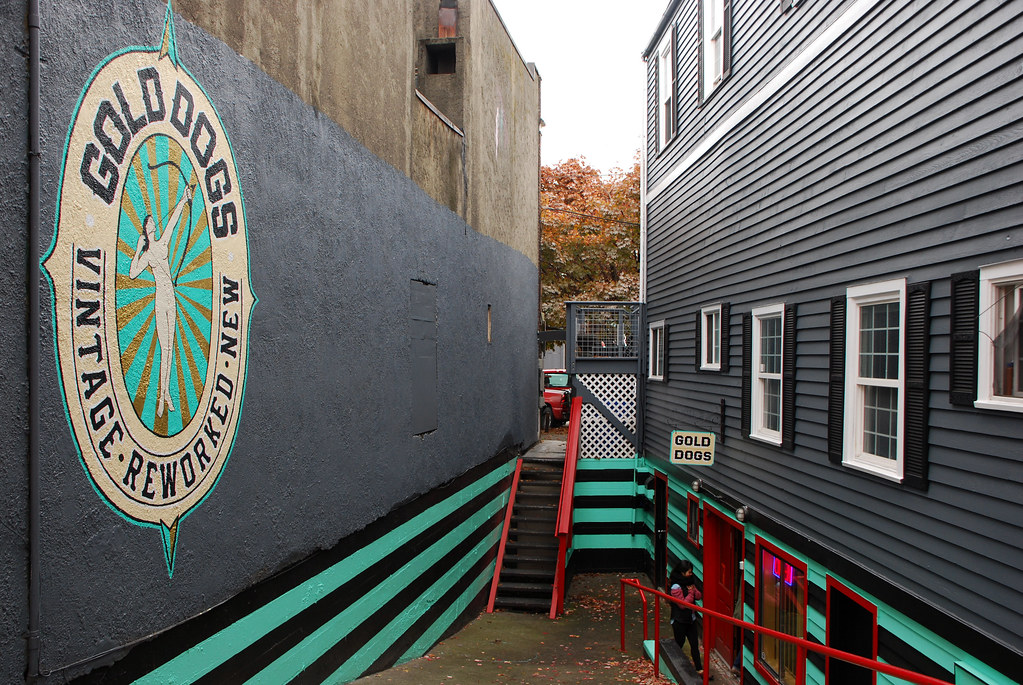
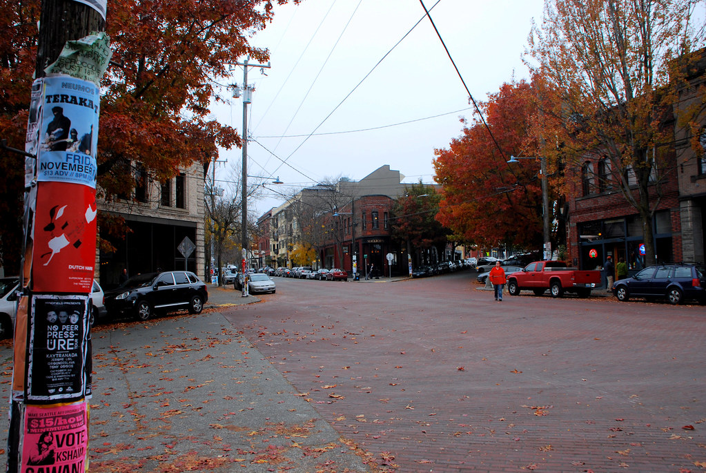
From there, into Fremont proper:
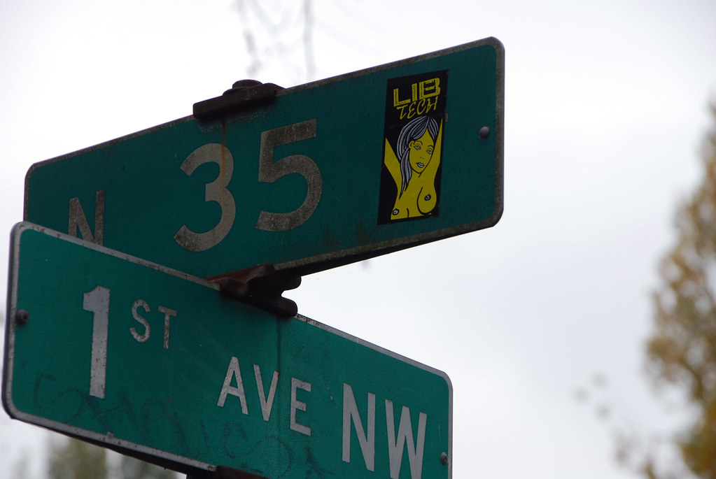
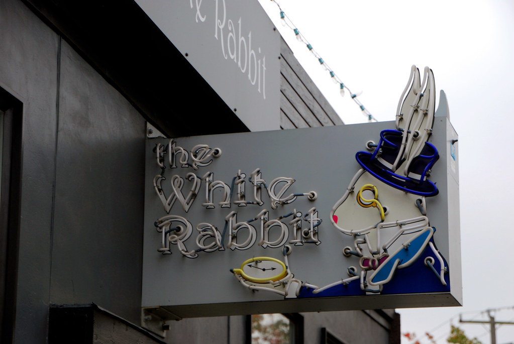
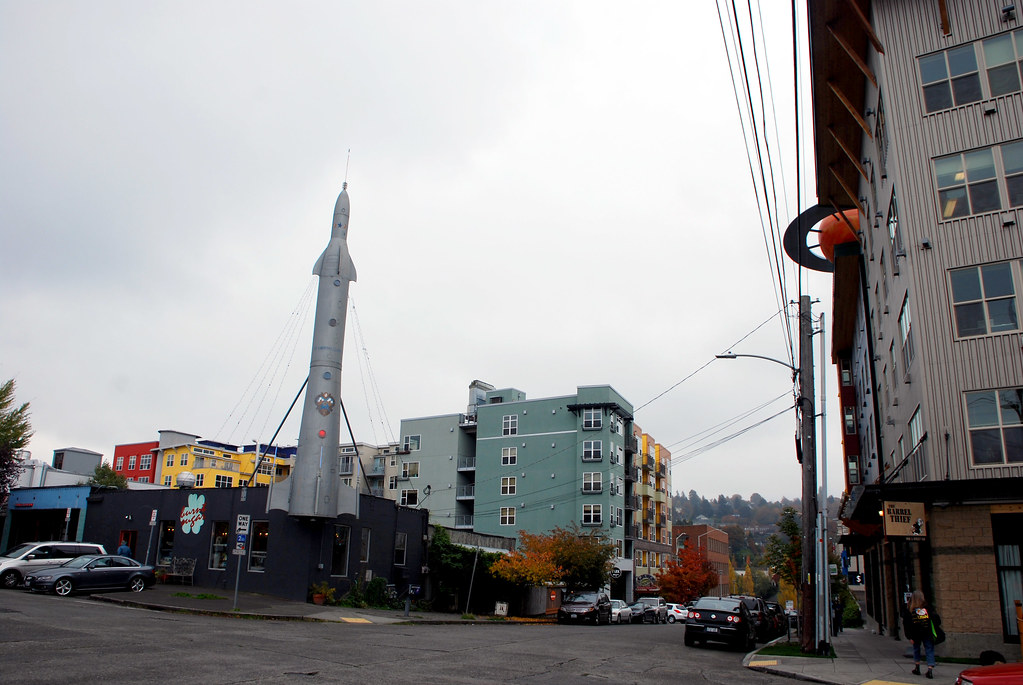
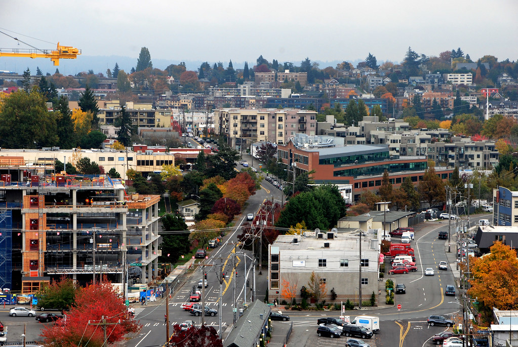
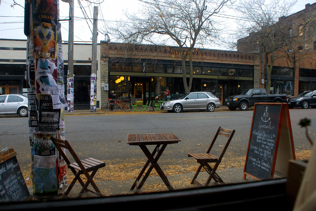
I have no idea what's up with the rocket storefront. The space motif is common for some reason. Maybe just playing off the Space Needle? Anyway, from Fremont, let's shoot 40 blocks straight north for a quick stop in Greenwood.
It wasn't so green, though. Redwood, maybe?
Oh, space again.
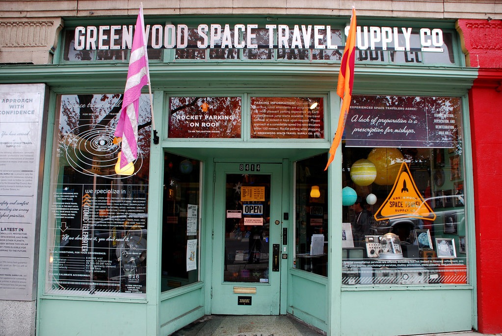
That last store, the
space travel supply company, was pretty fun.
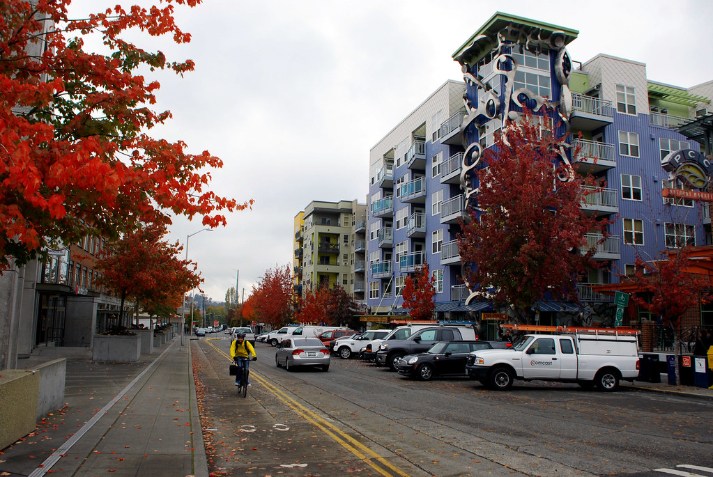
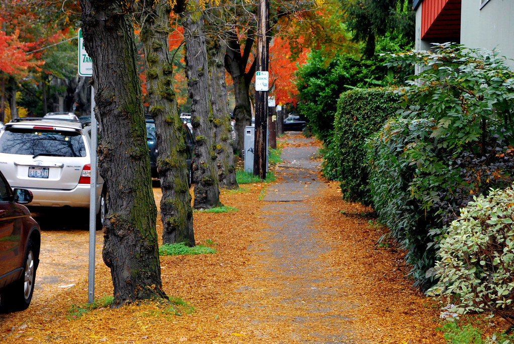
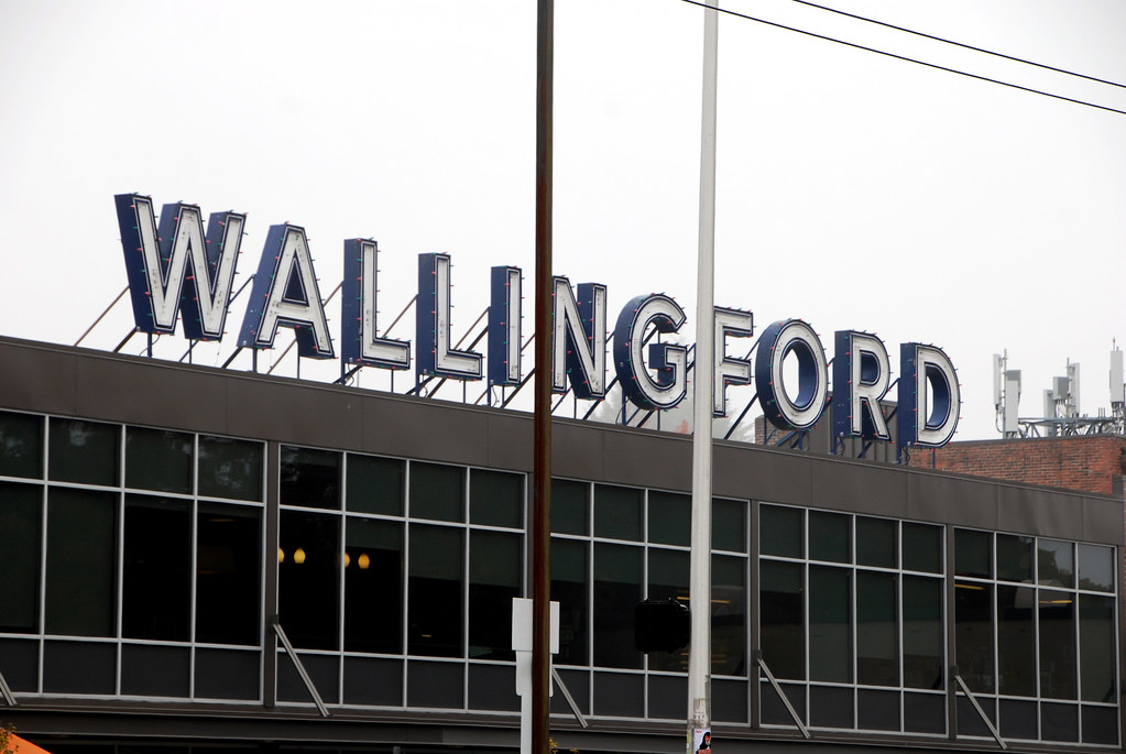
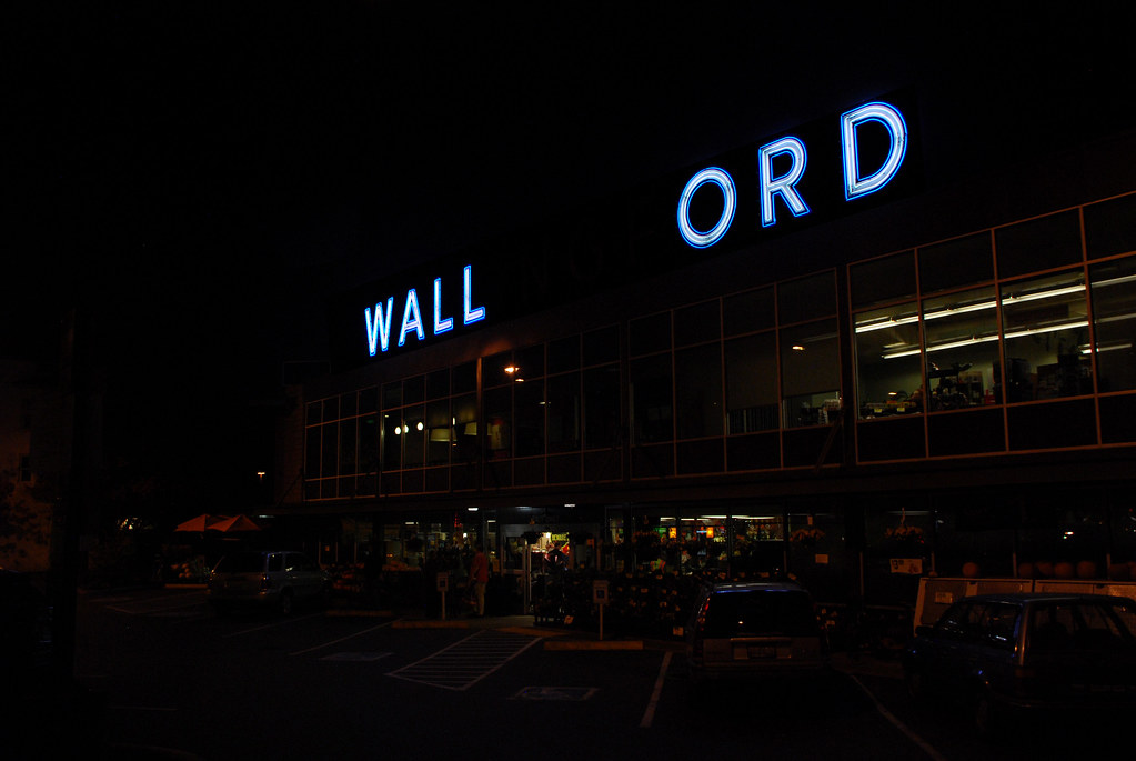
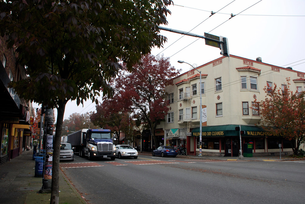
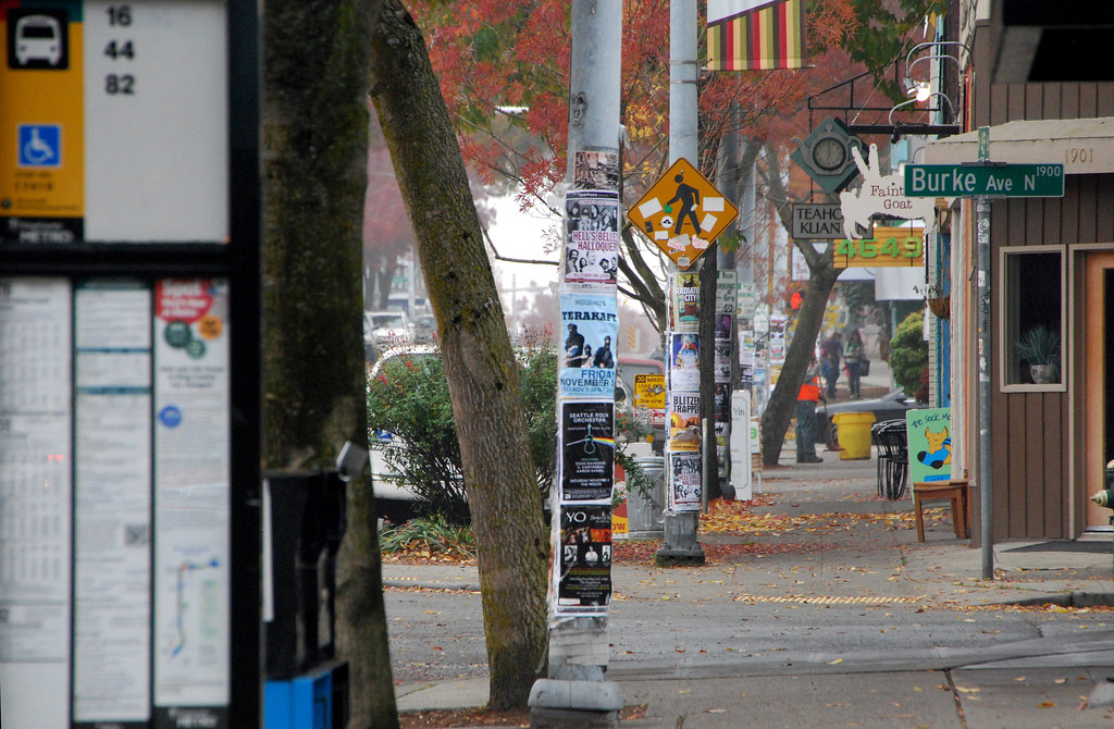
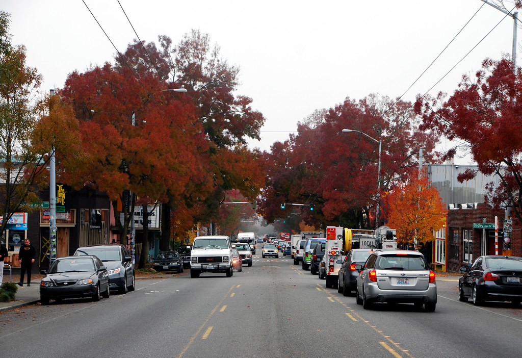
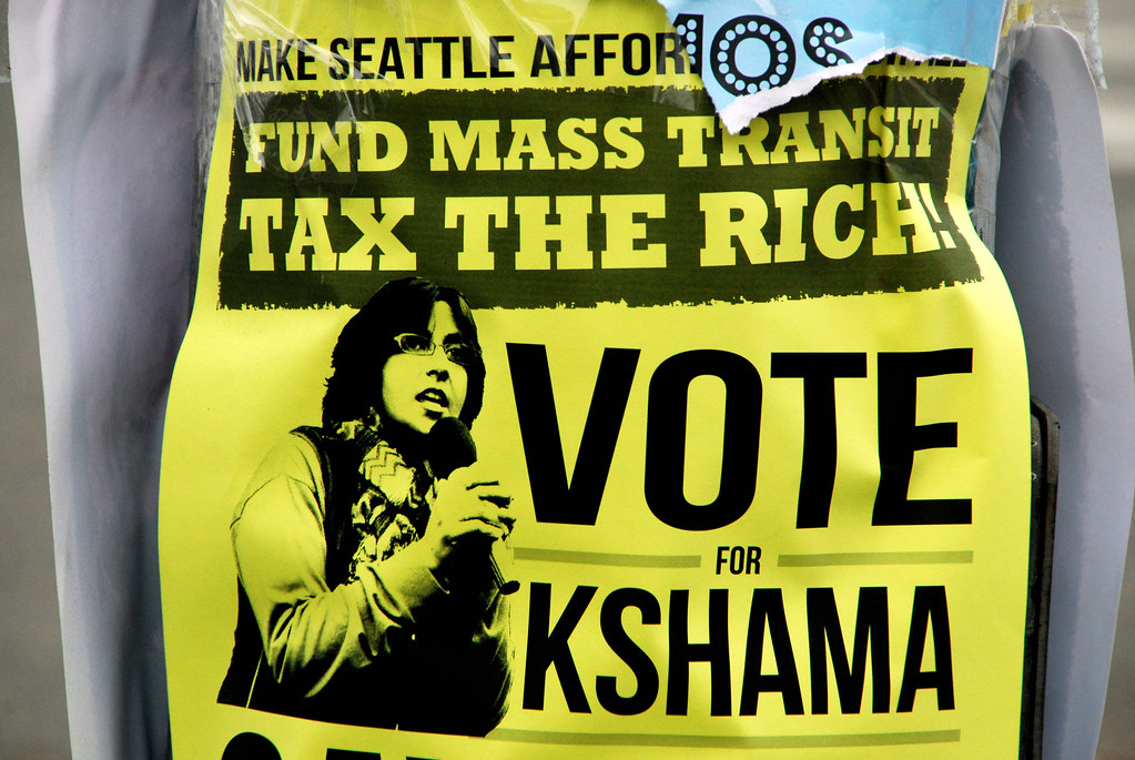
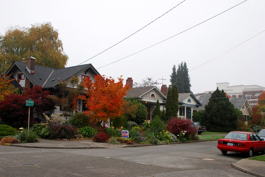
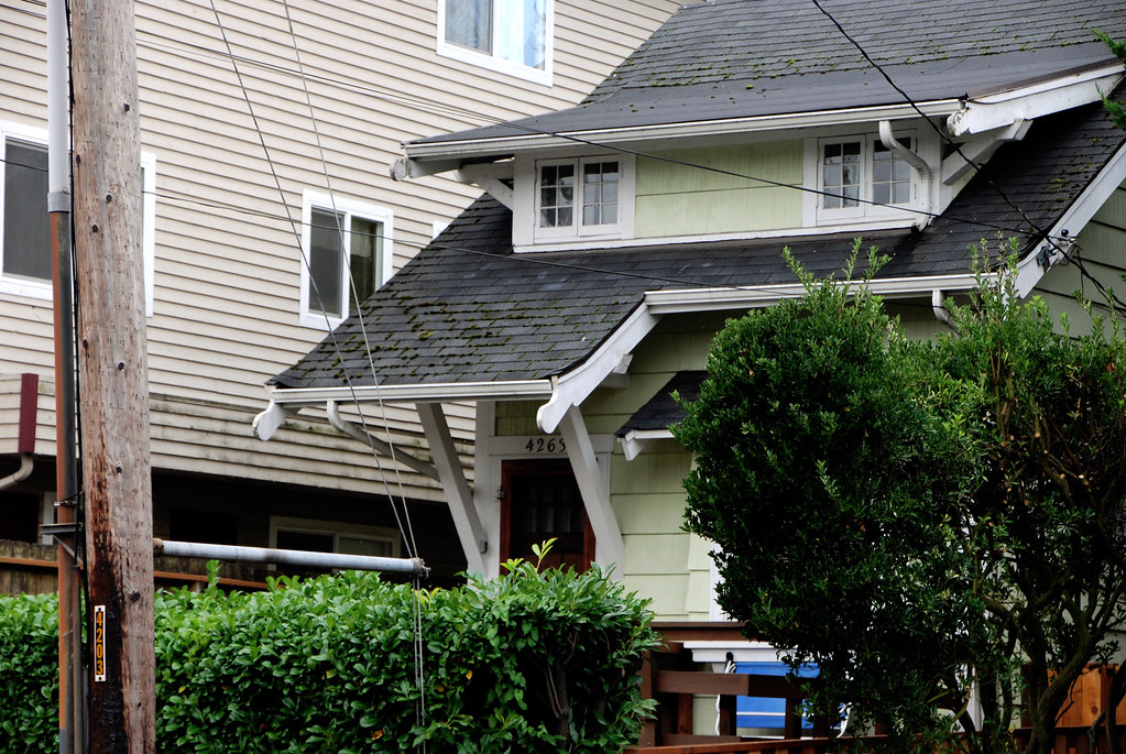
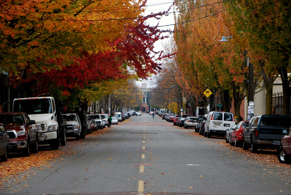
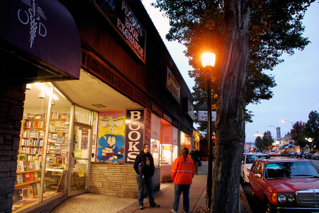
Now back down south to Wallingford, another neighborhood near Fremont.
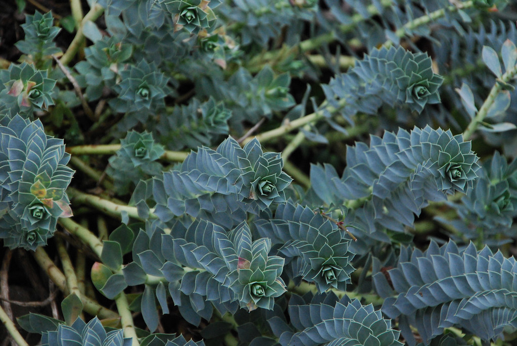
I could get behind this.
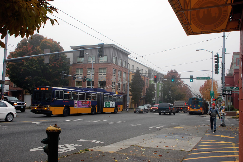
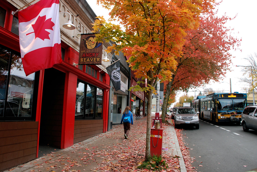
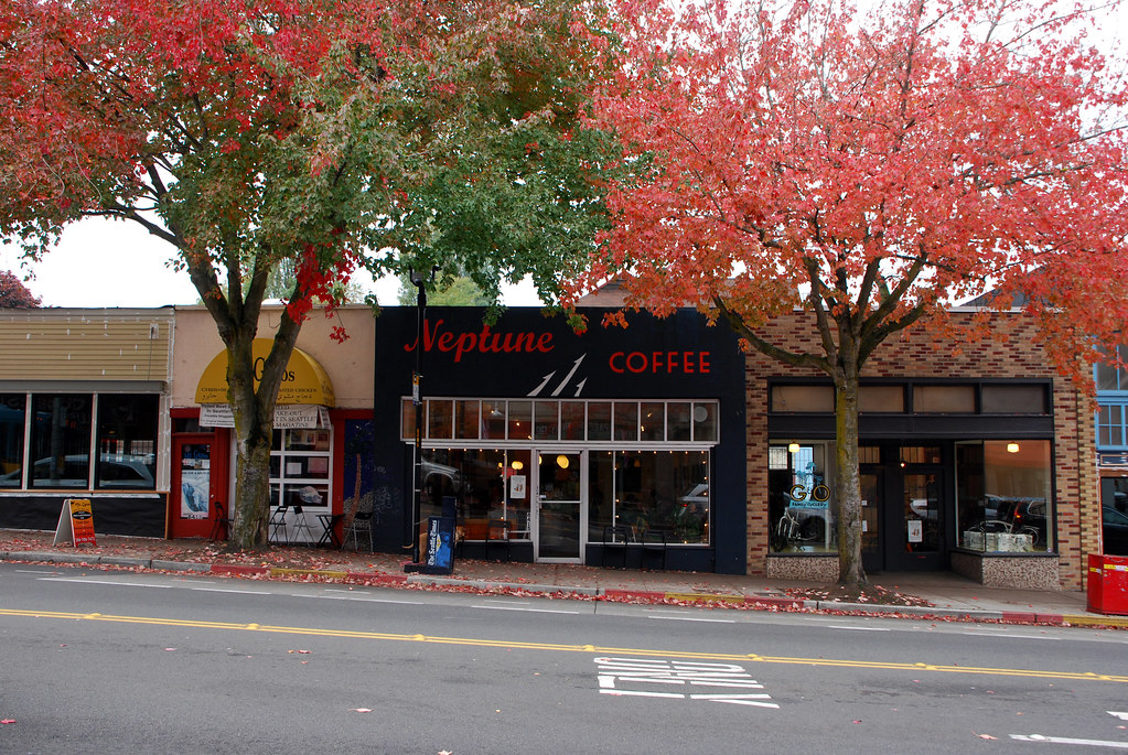
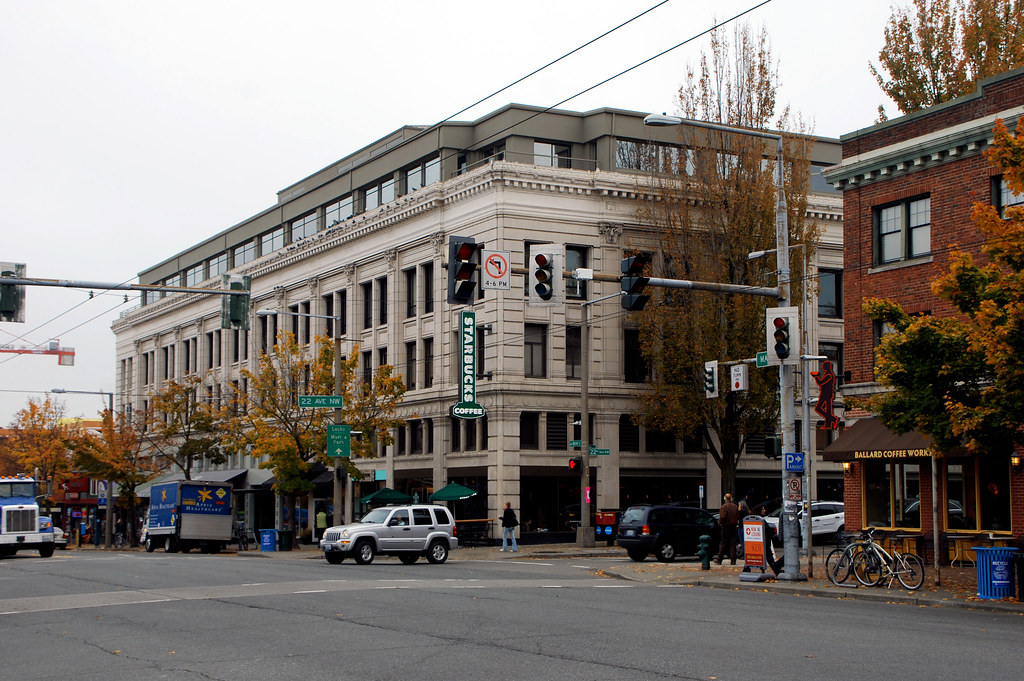
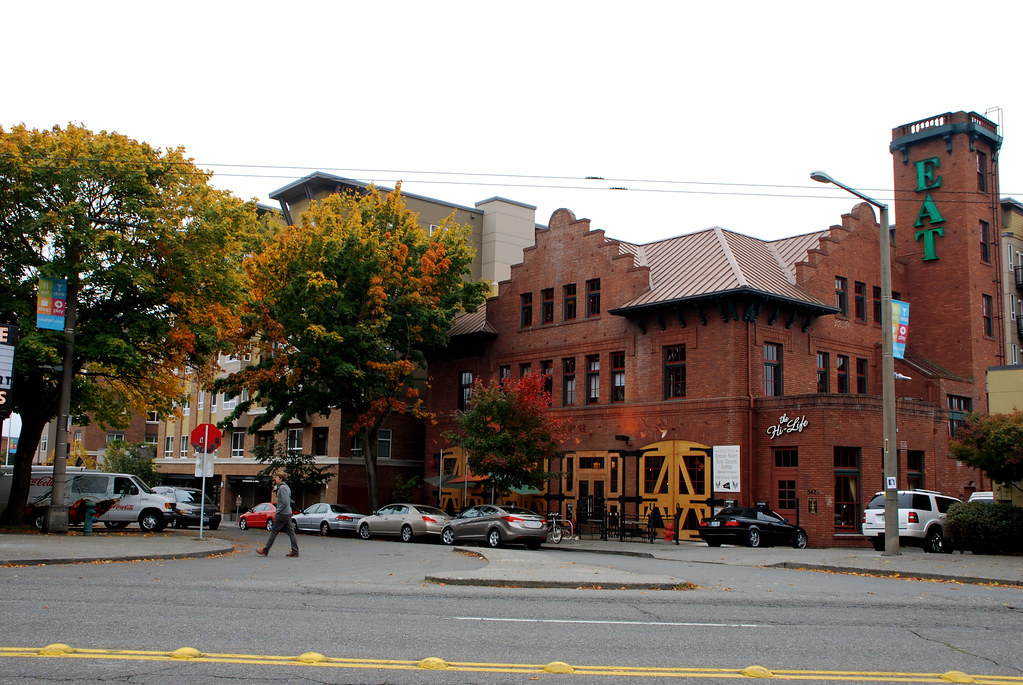
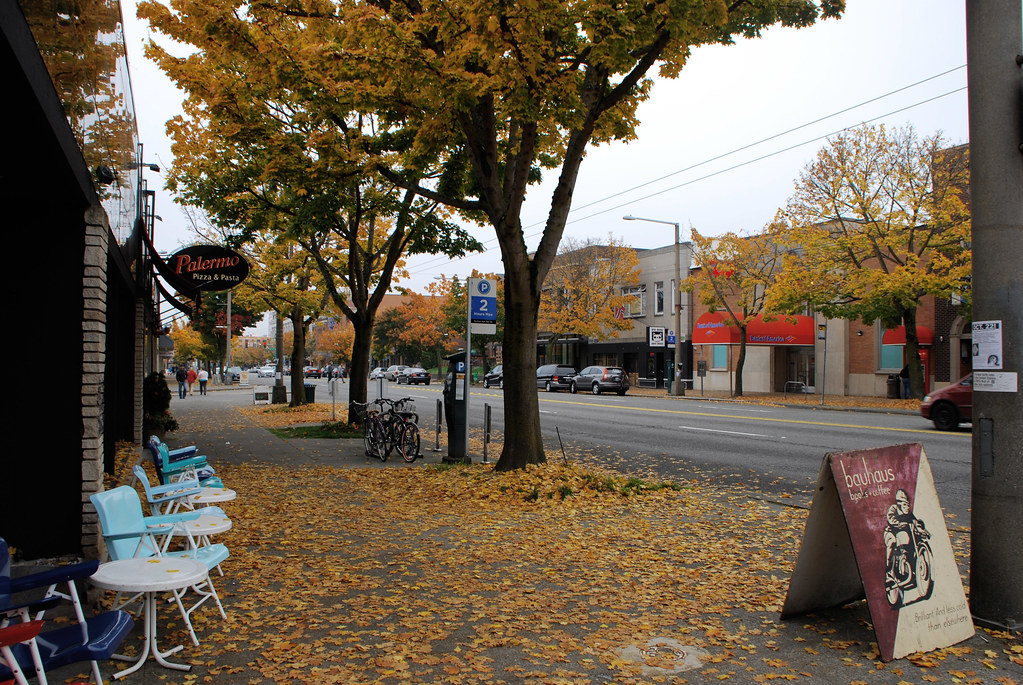
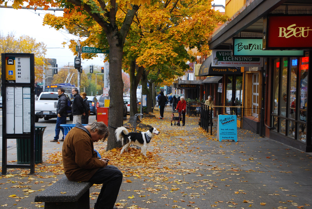
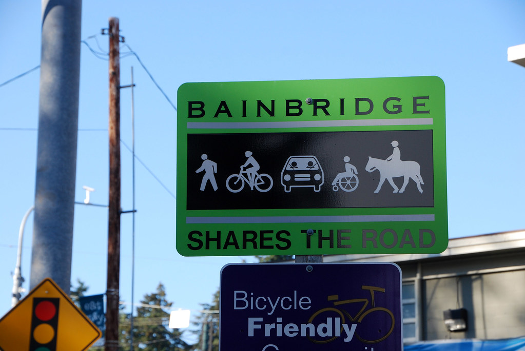
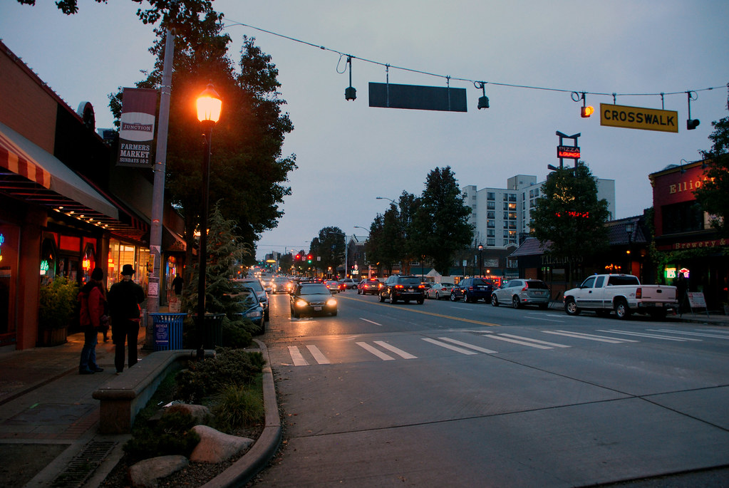
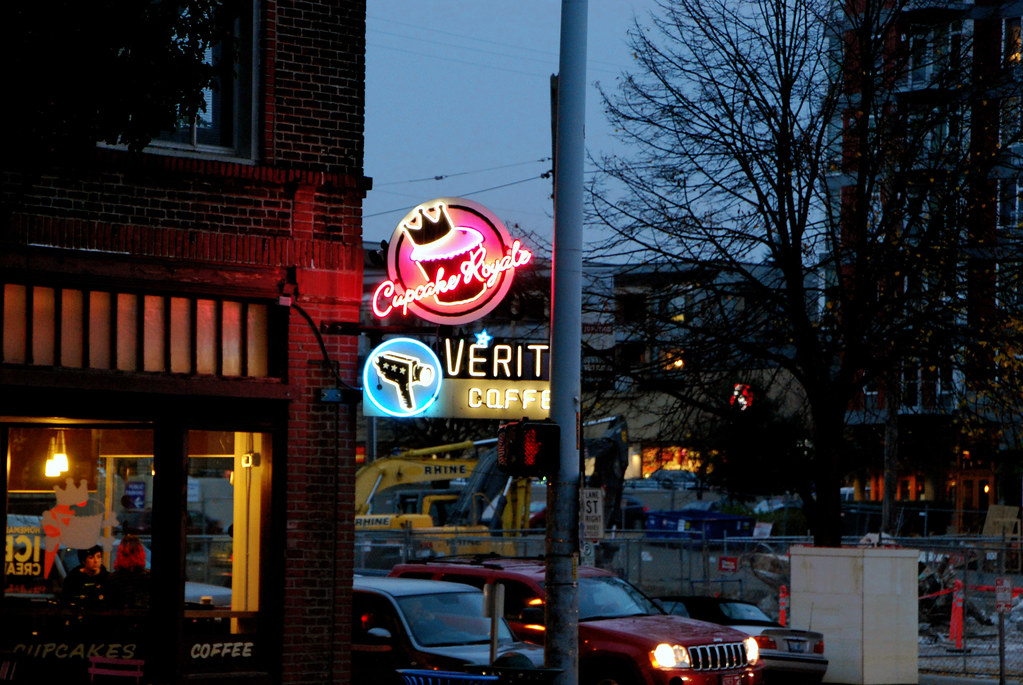
Last stop in North Seattle before heading elsewhere will be Ballard.
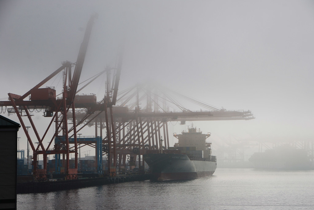
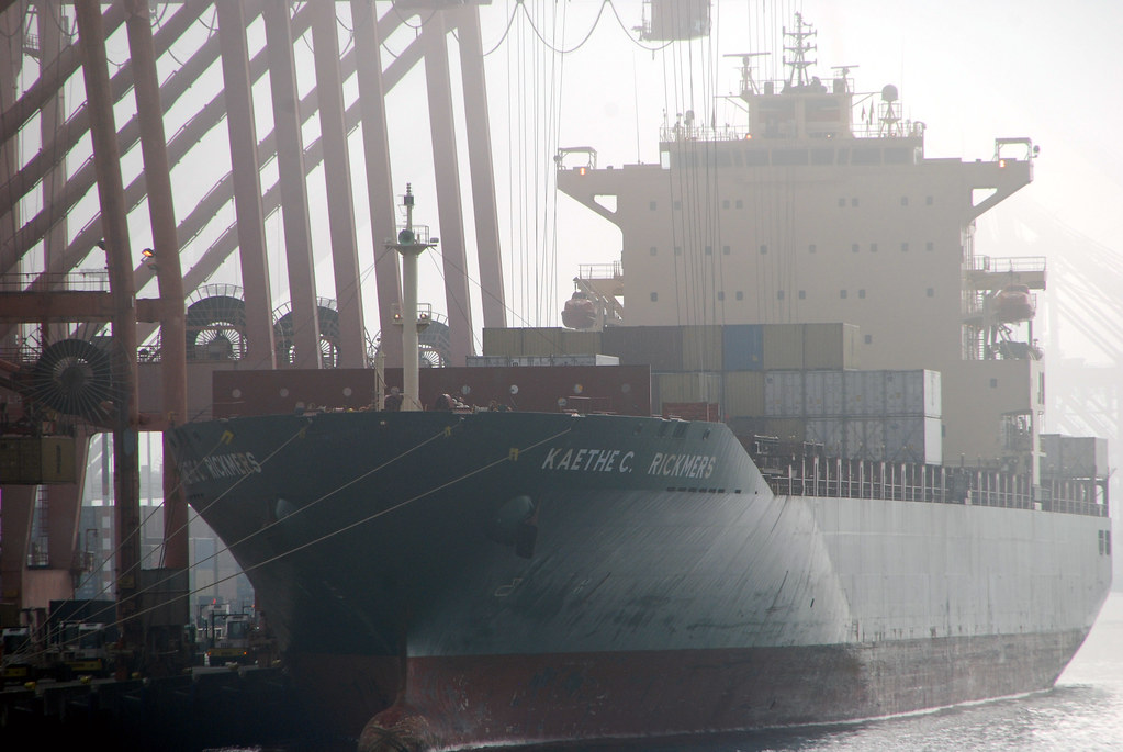
Ballard's waterfront is still industrial. And it's active.
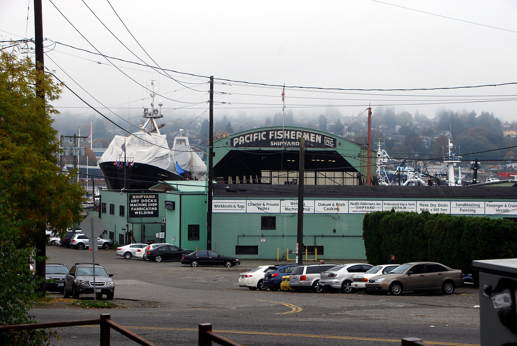
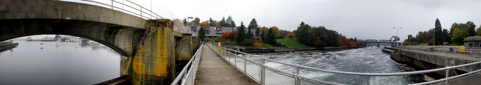
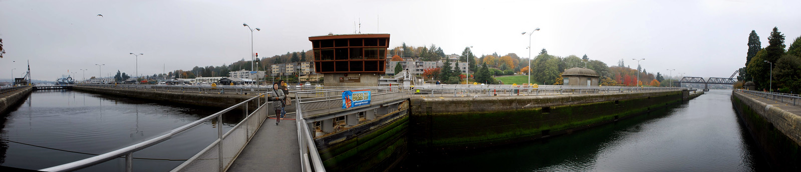
But the really interesting thing is the Ballard Locks, where ships coming into the ship channel from Puget Sound change elevation.
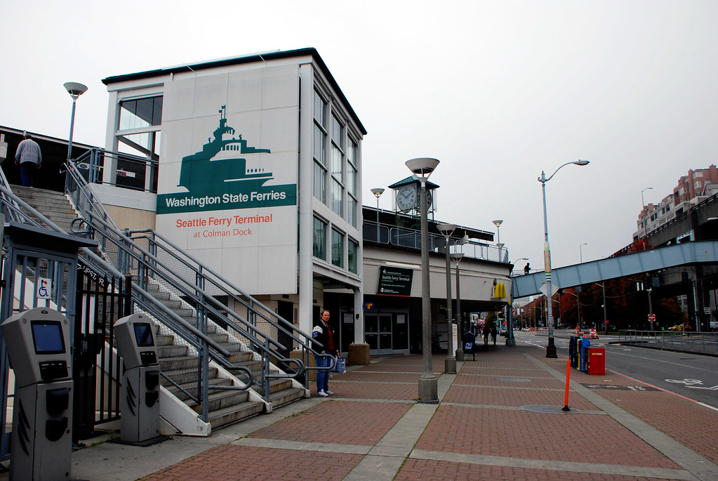
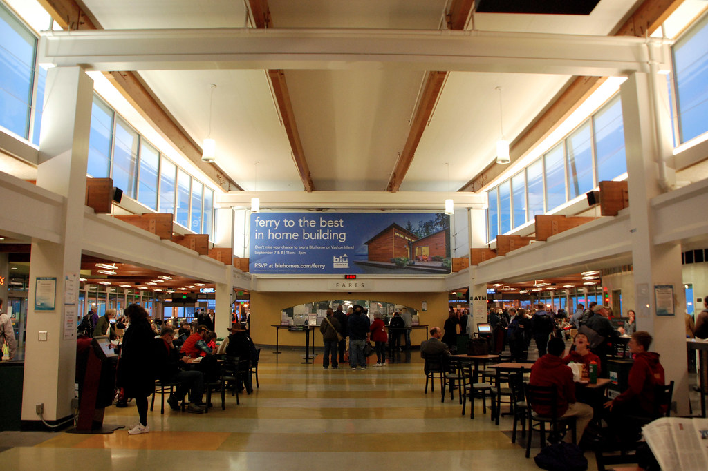
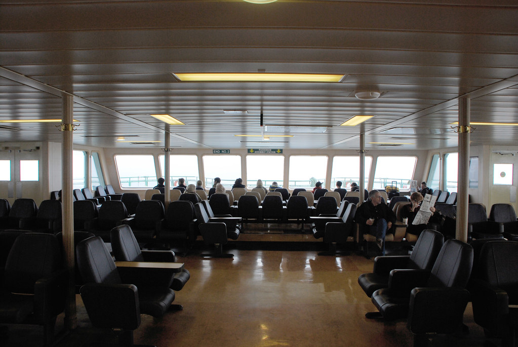
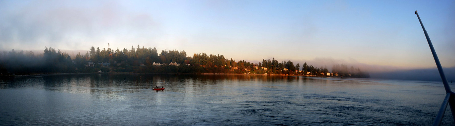
Now, a ferry ride. Some of Seattle's ferries are huge. The one I rode, to Bainbridge Island, can carry more than 200 cars and over 1000 pedestrian passengers.
Here's the terminal.
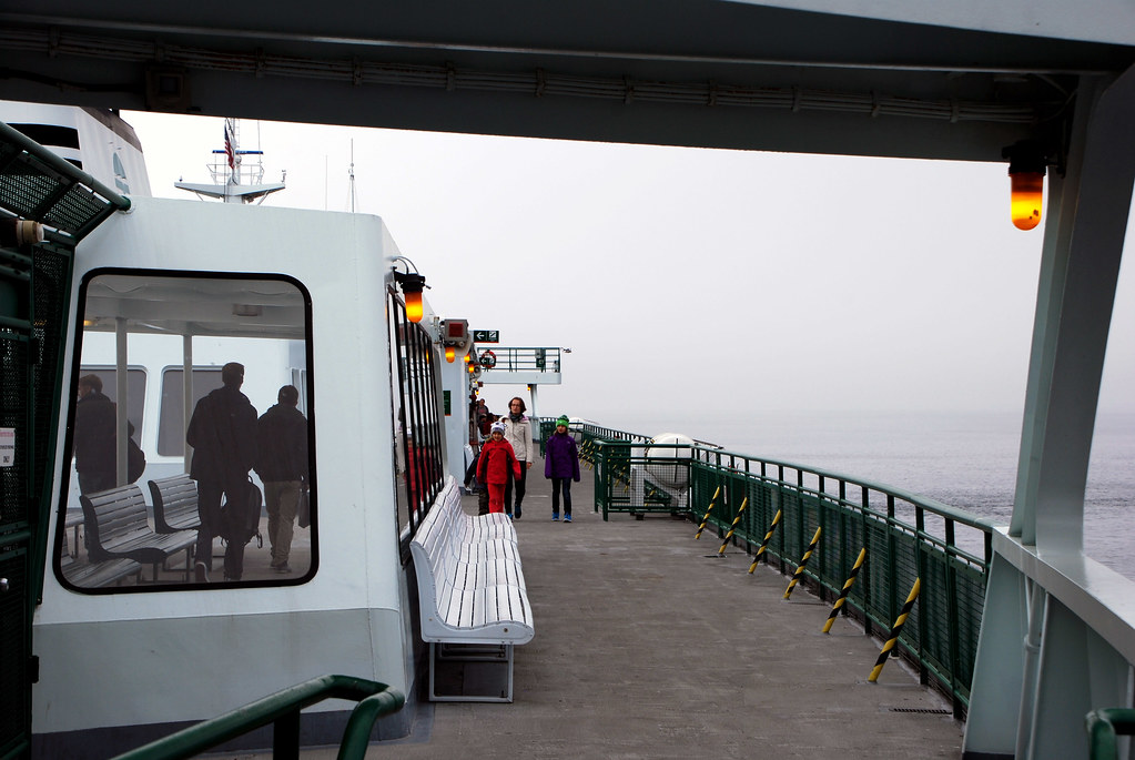
Off we go.
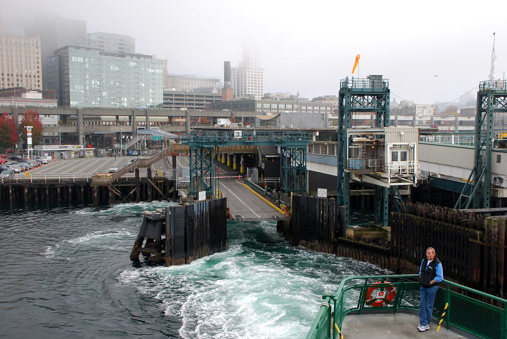
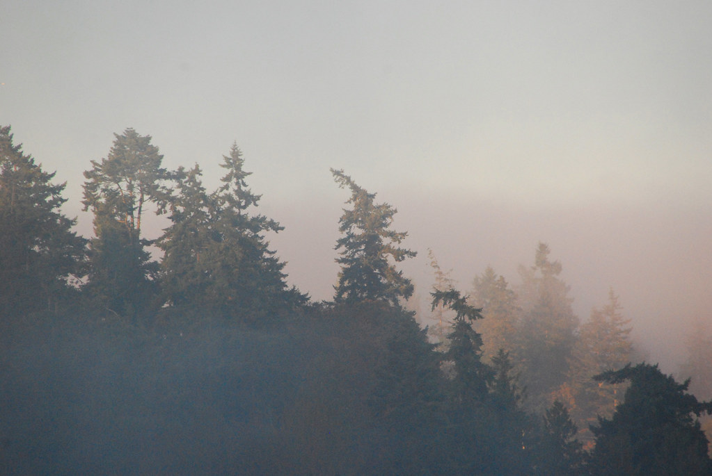
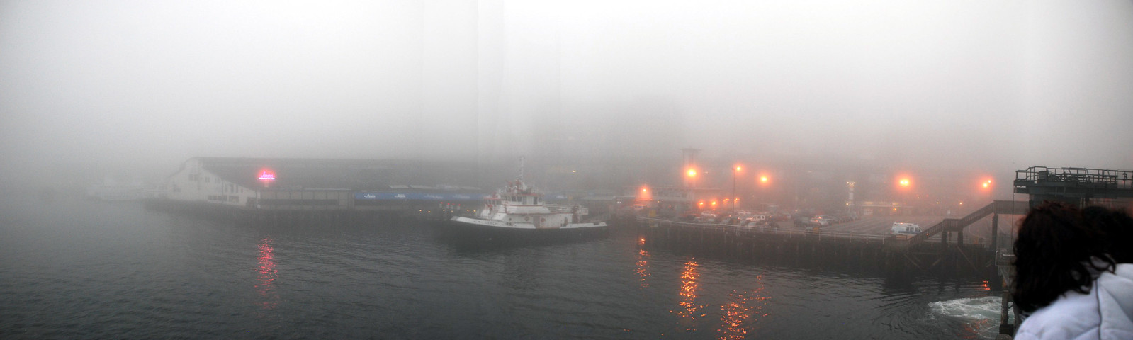
About this time is when it started to get really foggy.
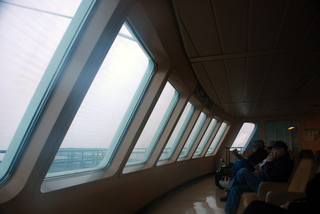
On the boat.
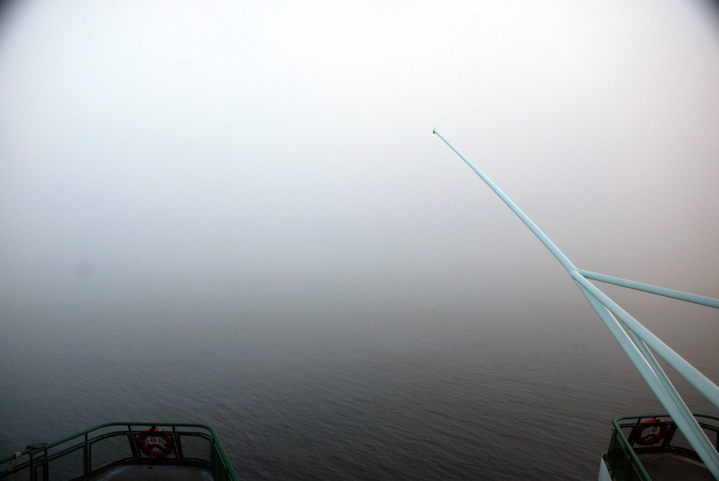
Getting foggier...
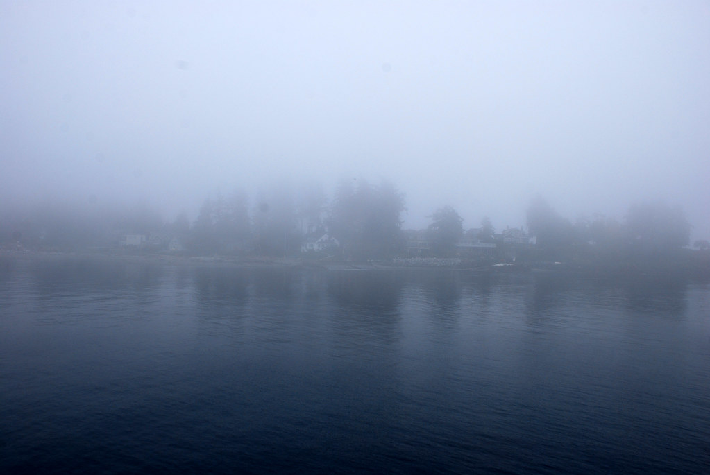
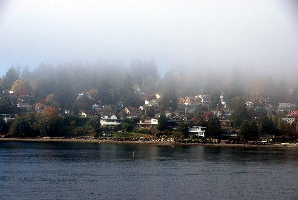
Wait. Is that land?
Mayyyyybe.
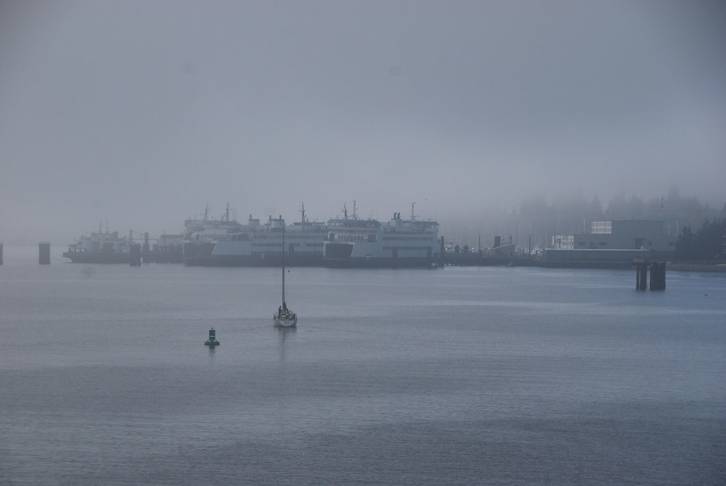
I see some other boats.
Definitely land. Bainbridge Island.
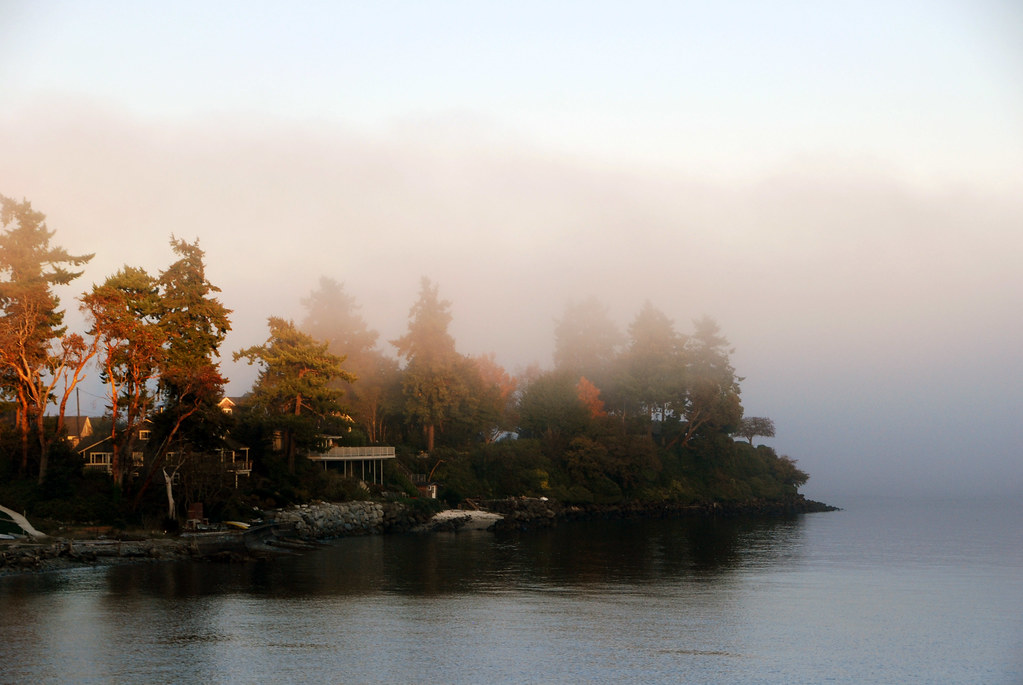
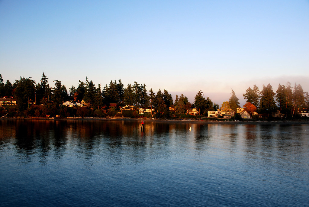
Mount Olympus?
Coming in to dock.
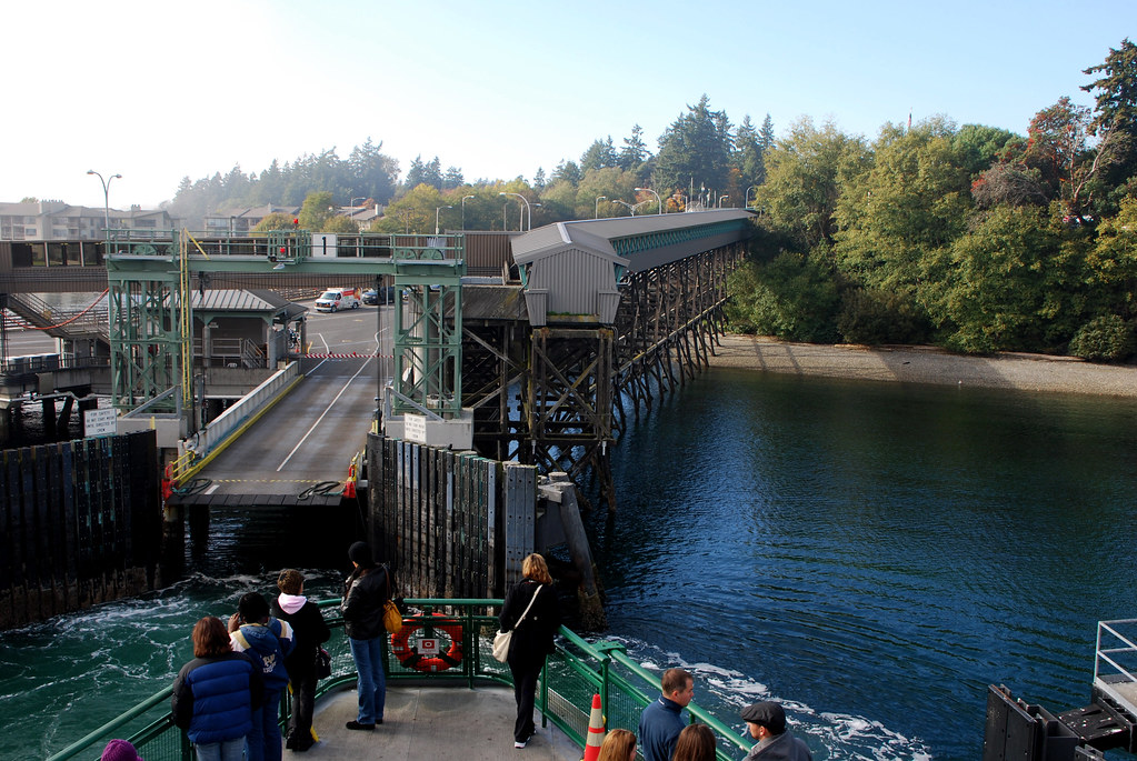
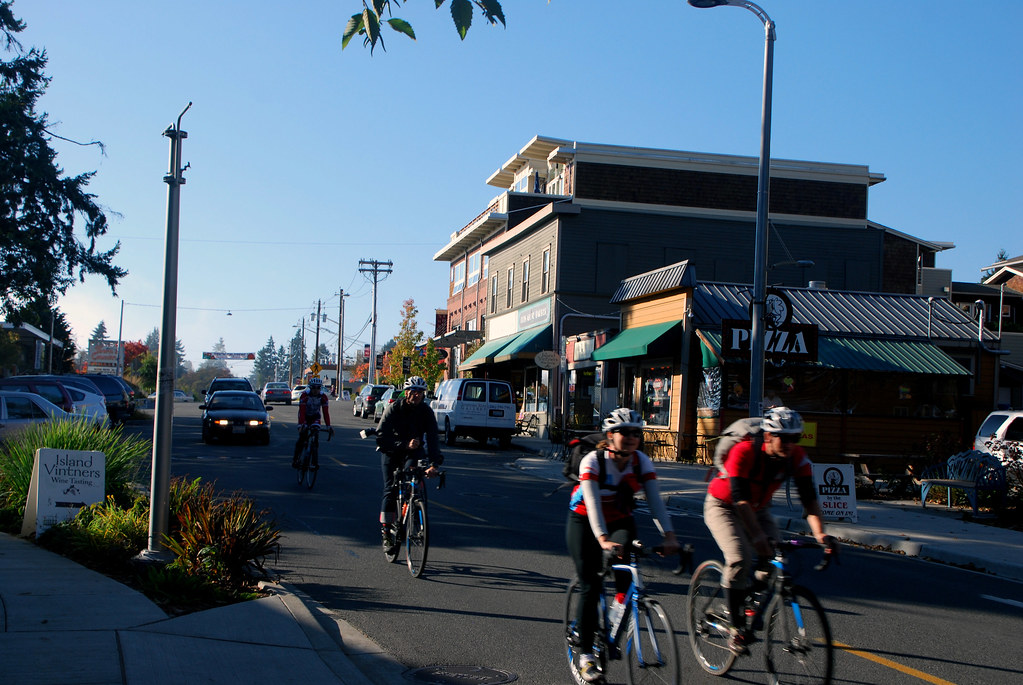
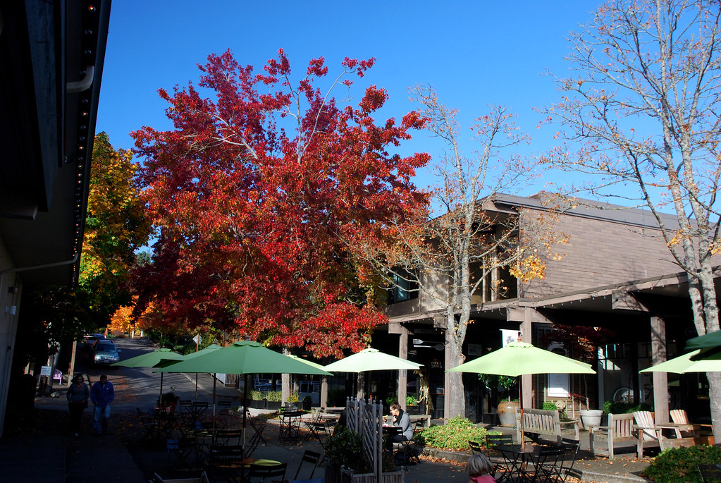
The town is kind of cute.

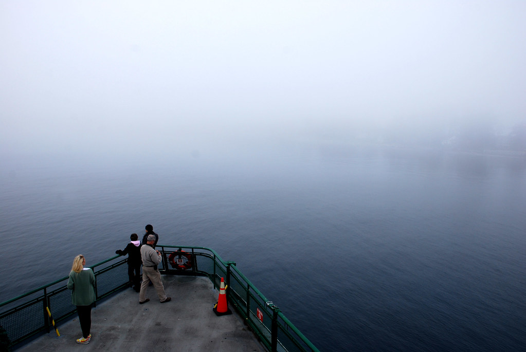
Headed back to Seattle, oh look, it's even foggier.
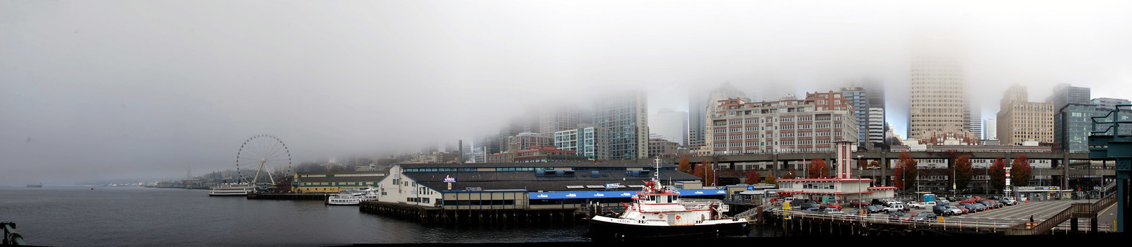
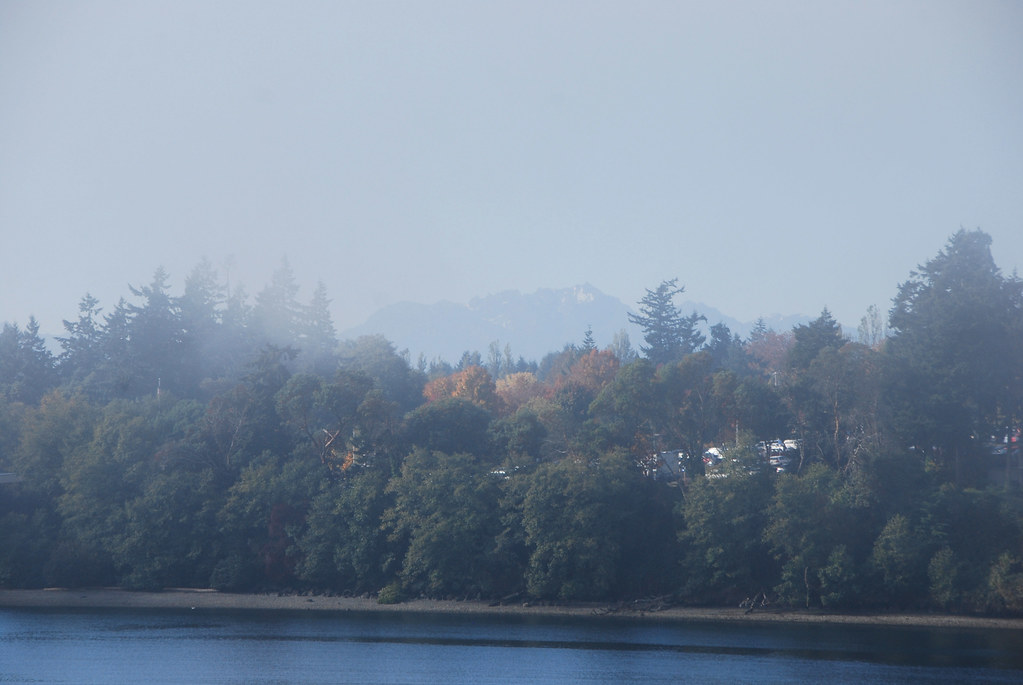
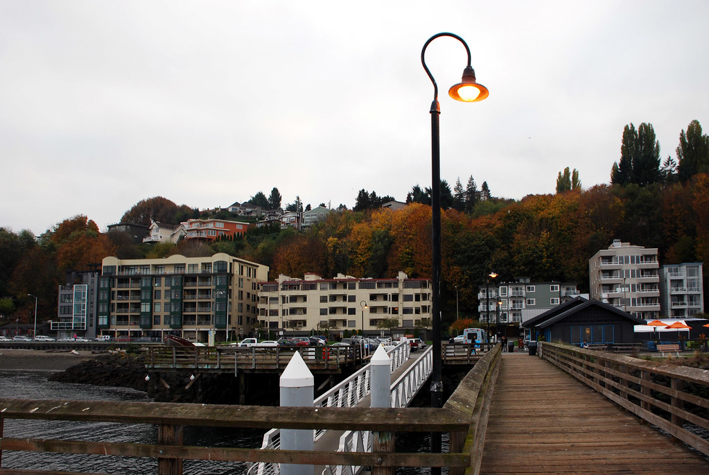
Next day, off on a water taxi to West Seattle.
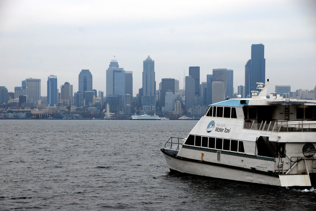
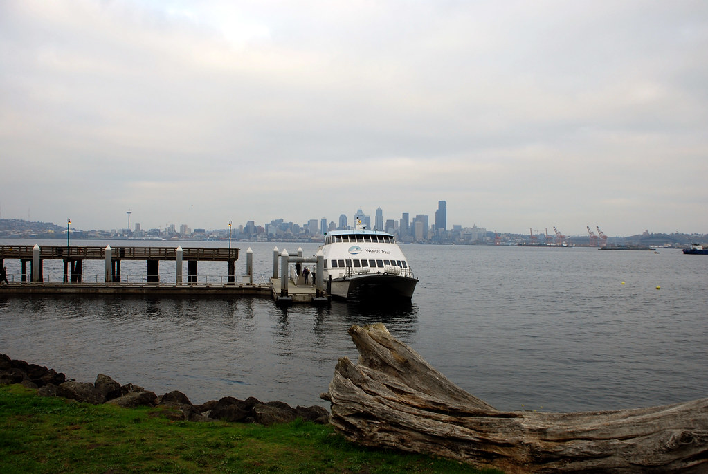
Seriously great view from over here.
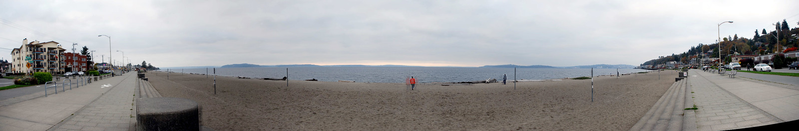
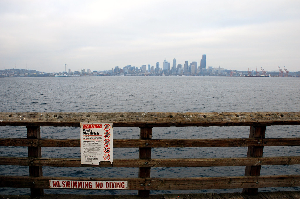 See the full-size version
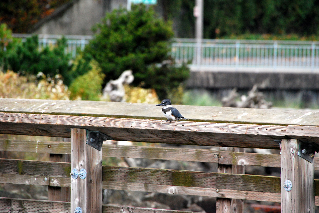
.

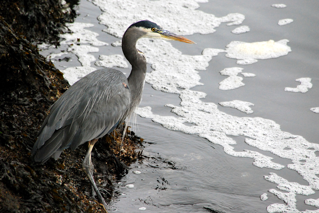
This is a belted kingfisher.
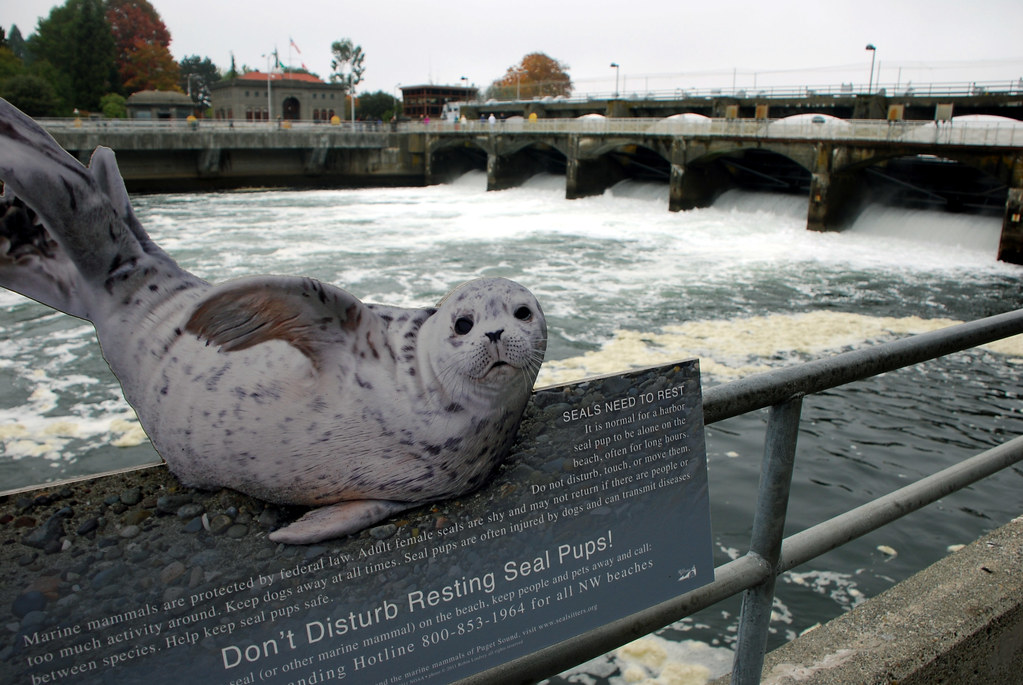
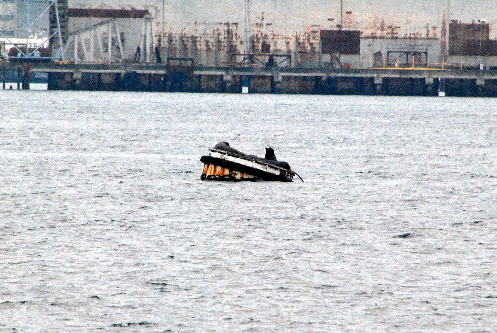
This is a seal.
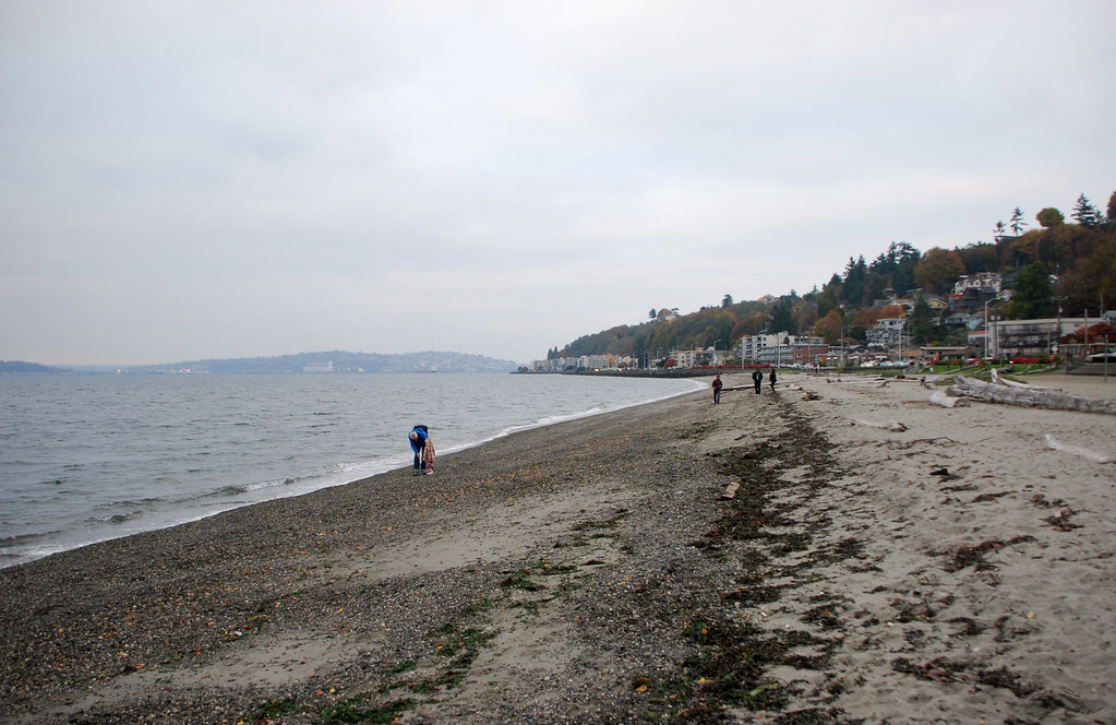
Around the tip of West Seattle, facing out into Puget Sound instead of in towards downtown, is Alki Beach.
And in the middle of West Seattle, a nice neighborhood.
That's it. Goodbye!