Quote:
Originally Posted by muppet

Are the London figures calculated as a metro? If so you'll have to include not just London and SE England, but also East England too.
This would increase the UK metro definition into line with the US ones, based on similar commuting patterns and densities.
Check this out:
http://www.newgeography.com/content/...n-and-new-york
" The London and New York areas had almost identical populations in 2014. New York had 23.663 million residents and London had 23.431 million residents, just one percent less. London, however, is growing more rapidly, adding 1.1 percent per year since the 2011 census, while New York's increase has been 0.8 percent annually since the 2010 census (Figure 1).
The land areas are also similar (Figure 2). The London commute shed covers 15,400 square miles (39,800 square kilometers). The New York area is about 10 percent smaller, covering 13,900 square miles (36,000 square kilometers)."
In other words the metro should be growing by 200-240,000 p/a.
file:///C:/Users/Kin/Downloads/Subnational%20population%20projections%20for%20England%202014-based%20projections.pdf |
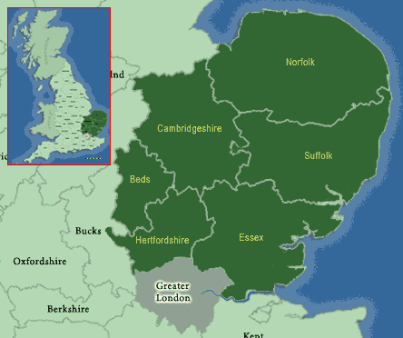
I used the Larger Urban Zone as defined by Eurostat. This includes most of the classic commuter towns surrounding London like St Albans, Basildon, Chelmsford, Sevenoaks, Tunbridge Wells, Guildford, Watford and Slough. But it excludes standalone cities like Cambridge, Oxford, Canterbury, Brighton, Southampton, Portsmouth and Ipswich even if it is feasible to commute to London from them, given the small geographical size of England. Of course, you could argue until the cows come home about where to draw the line (although anything that includes Norfolk as part of metropolitan London is stretching the furthest bounds of credulity if you ask me).