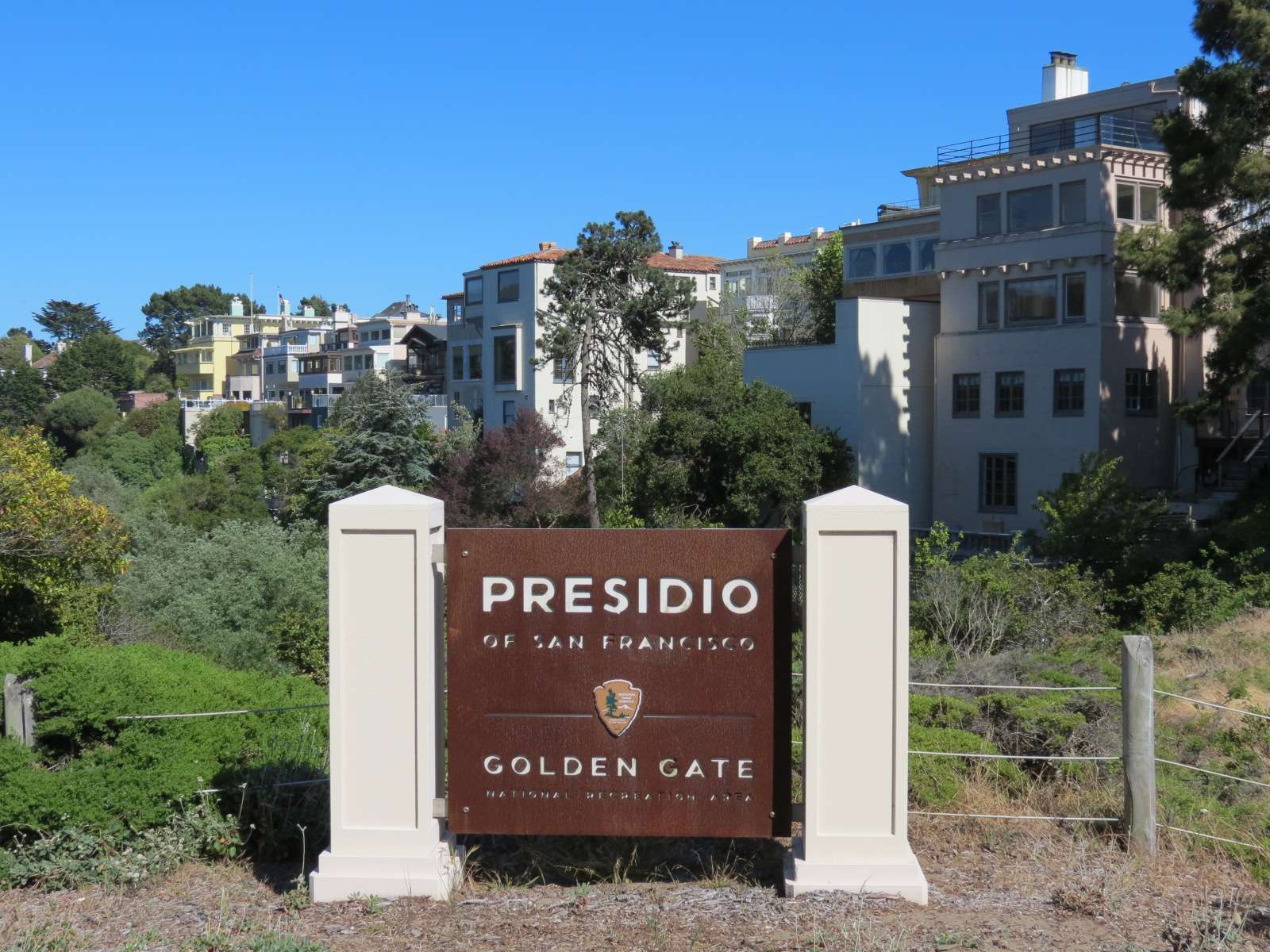
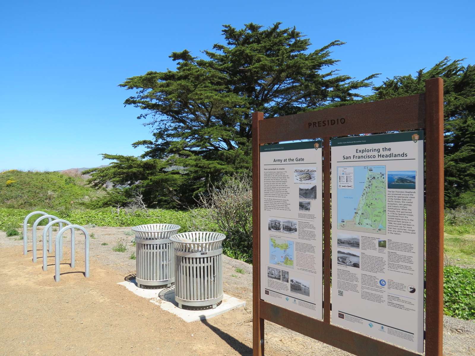
Presidio is a neighborhood within San Francisco's 7-mile by 7-mile city limits. It is located in the Northwestern corner of the city on the Pacific Ocean and San Francisco Bay and is mostly steep hilly terrain. The adjoining neighborhoods are Marina and Pacific Heights to the West, Presidio Heights and Richmond to the South, and the Seacliff area of Richmond to the Southwest. These fairly dense surrounding residential neighborhoods use the Presidio as a park since it is less of a neighborhood and more of a large greenspace; much of it is covered in forests and native shrubs rather than development. The entire neighborhood is actually one of the properties of the Golden Gate National Recreation Area, administered by the National Park Service. Before it was transferred to the National Park Service in 1994, it was a military base and a majority of the Presidio's development dates from that era, especially the late 19th and early 20th centuries. The remaining historic architecture has been dutifully preserved and adapted for new uses, including facilities for park operations and leased offices for non-profit organizations. Historic military housing has also been rehabilitated and occupied; there are residents living in this park, so that it can be called a neighborhood even if the population is relatively sparse.
This thread will focus on the features of the Pacific Ocean and San Francisco Bay coastlines located on the Western and Northern edges of the Presidio, while another thread will focus on the interior areas:
http://forum.skyscraperpage.com/showthread.php?t=204713
25th Avenue Gate:
This is one of about ten road entrances to the Presidio; this one is in the Southwestern corner adjacent to the Seacliff neighborhood of the city. It features an entrance sign that is typical of the consistent wayfinding materials and graphics of the various properties of the Golden Gate National Recreation Area of which the Presidio is a part.
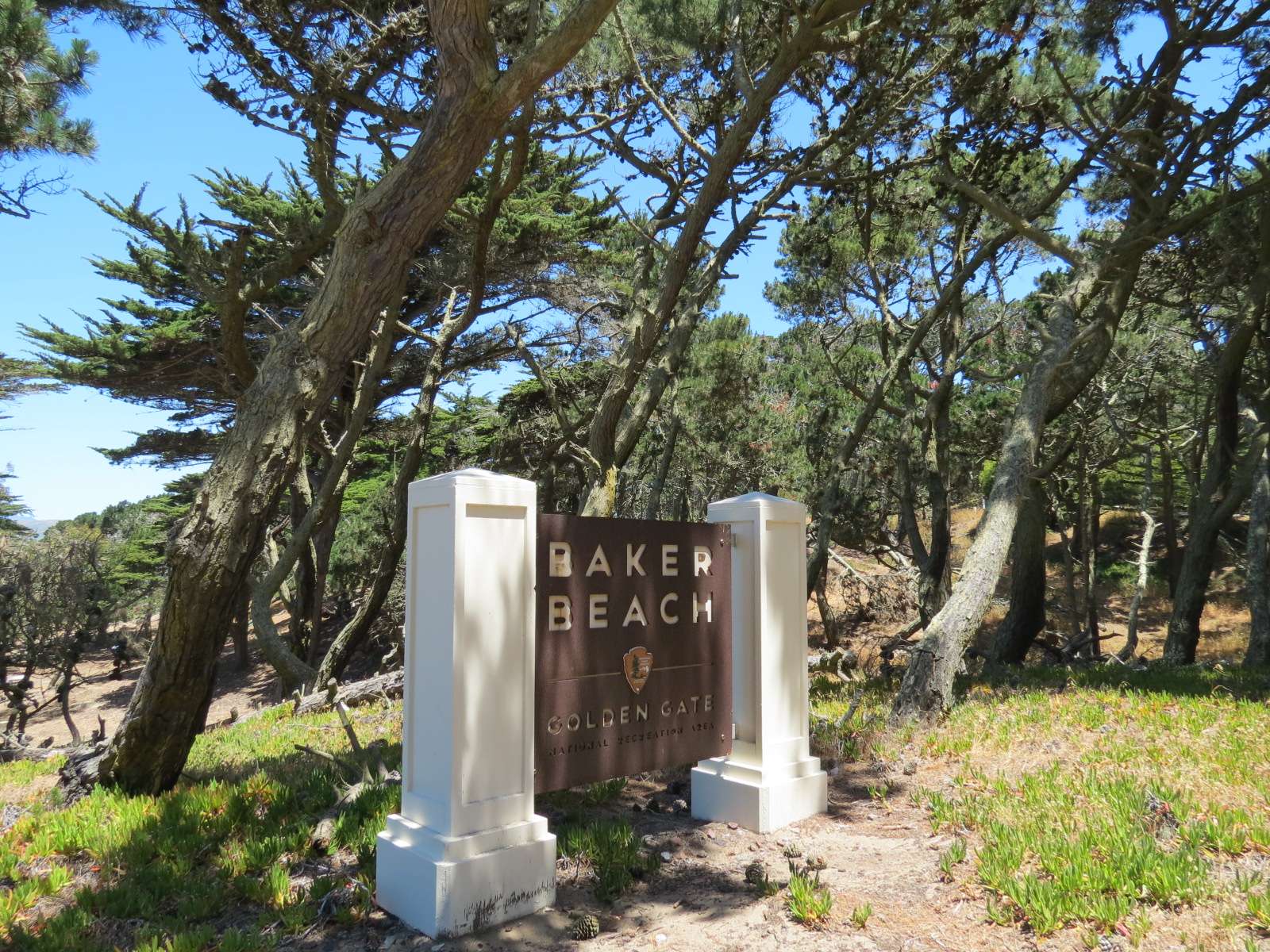
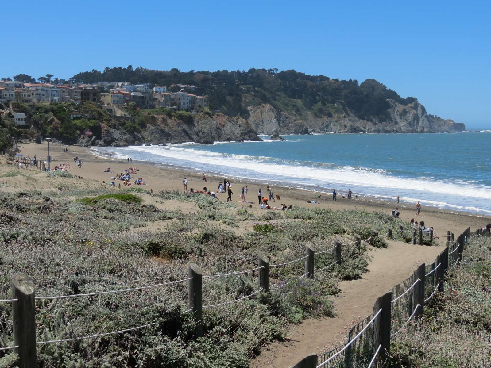
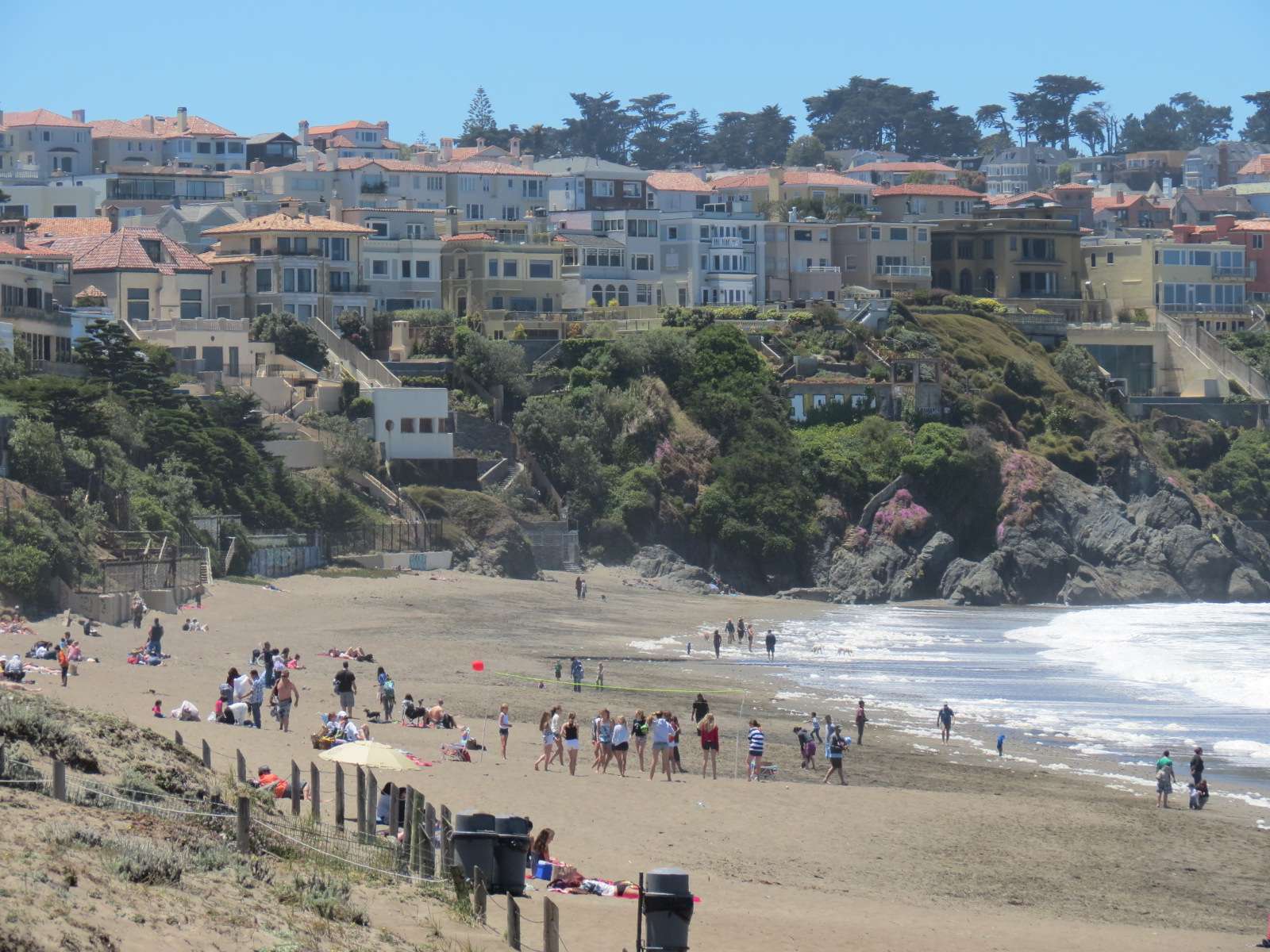
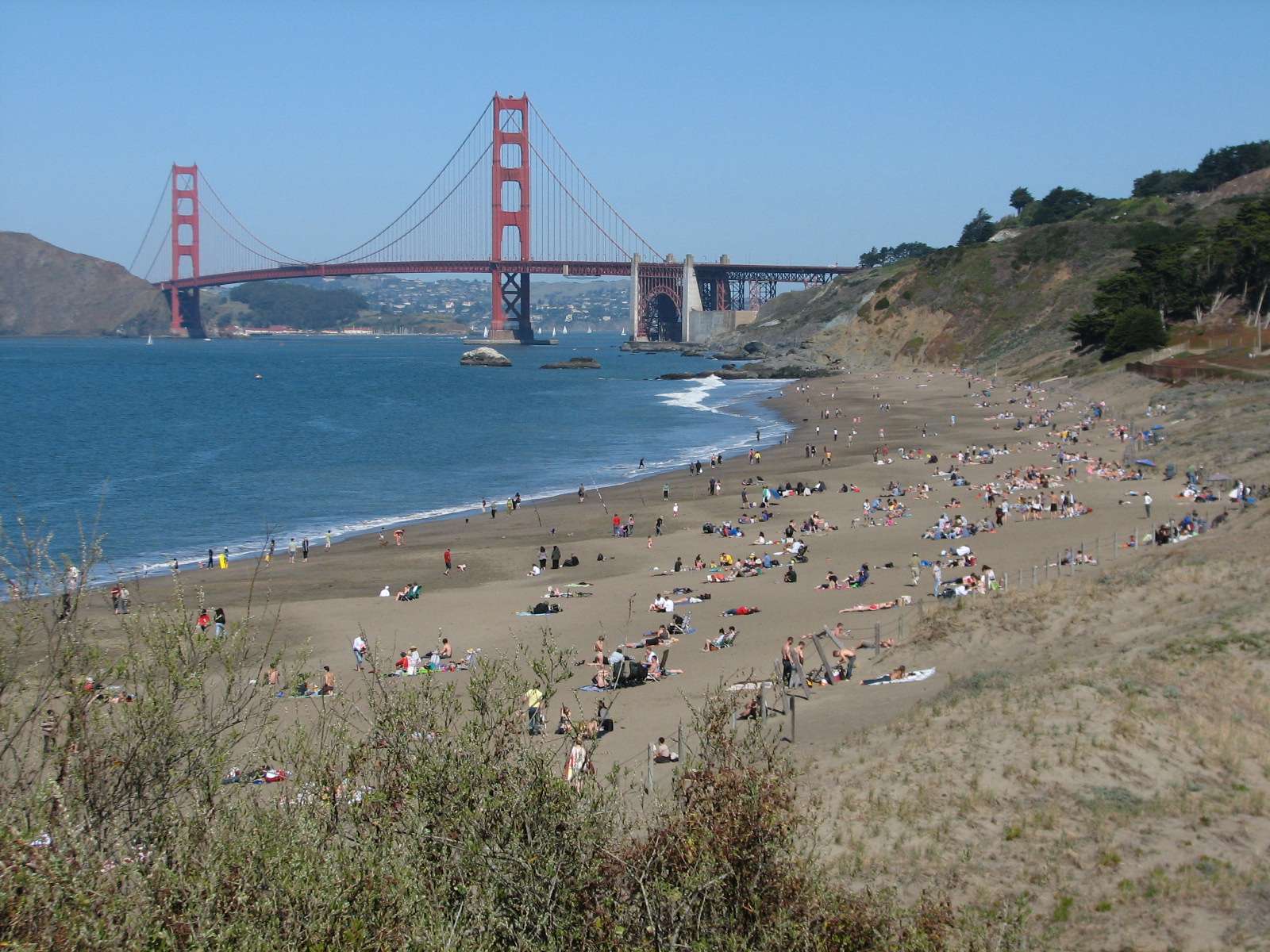
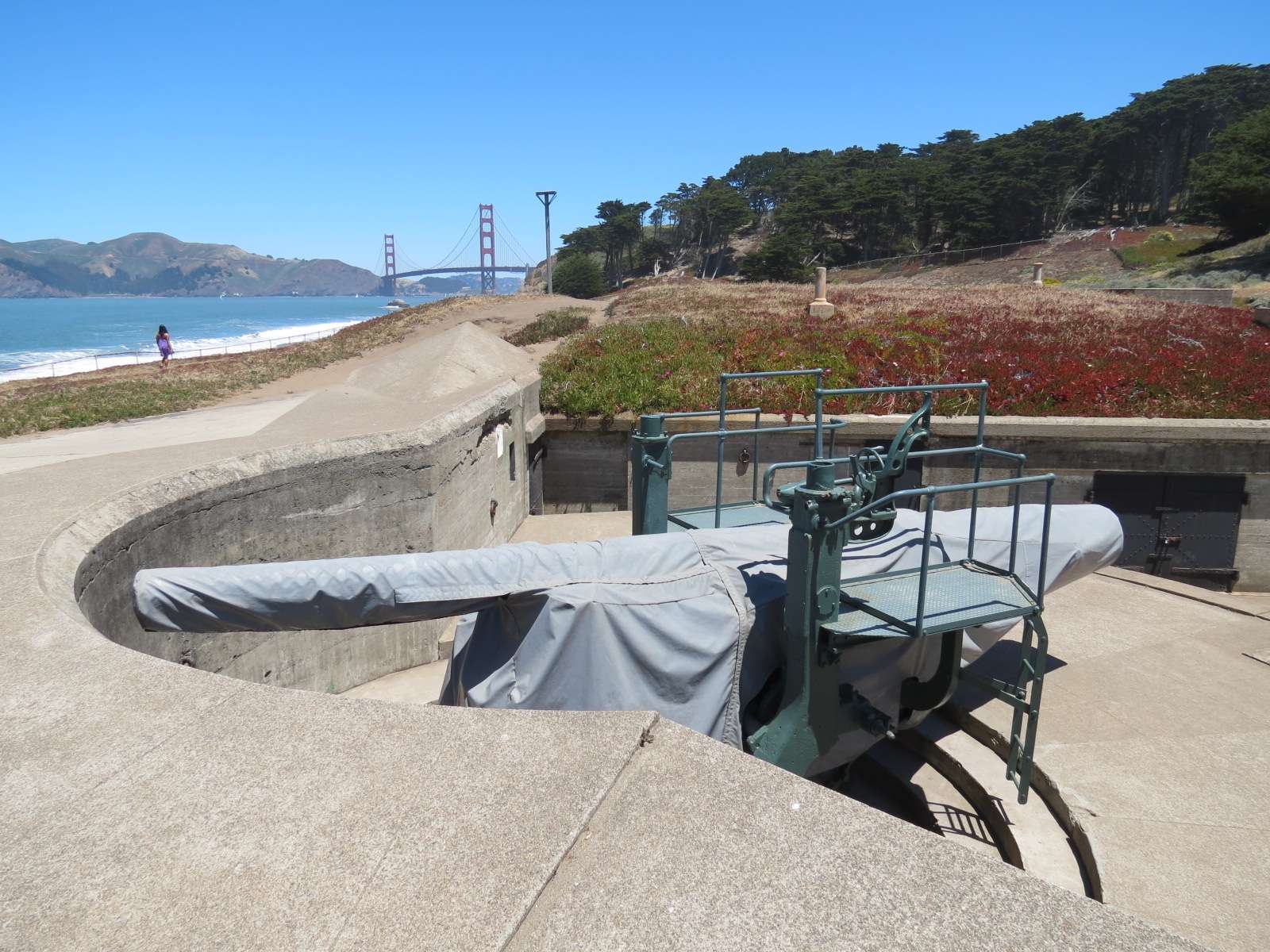
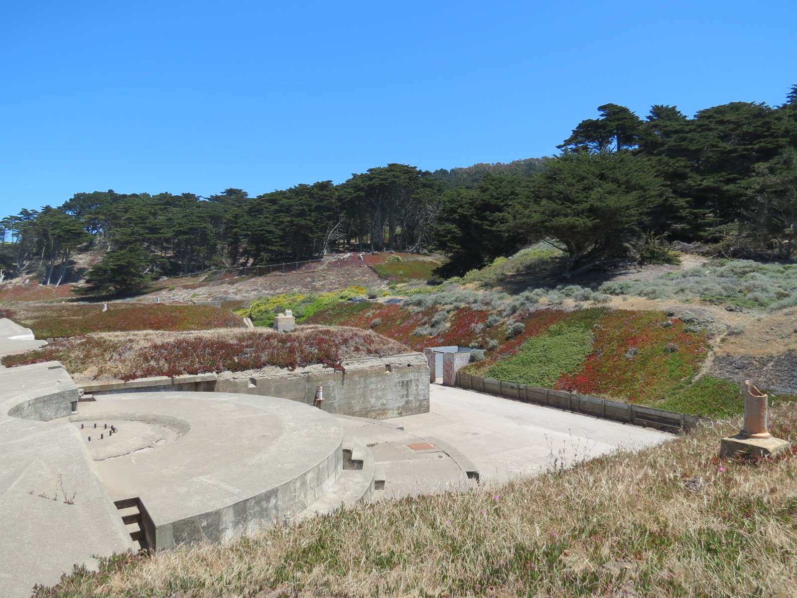
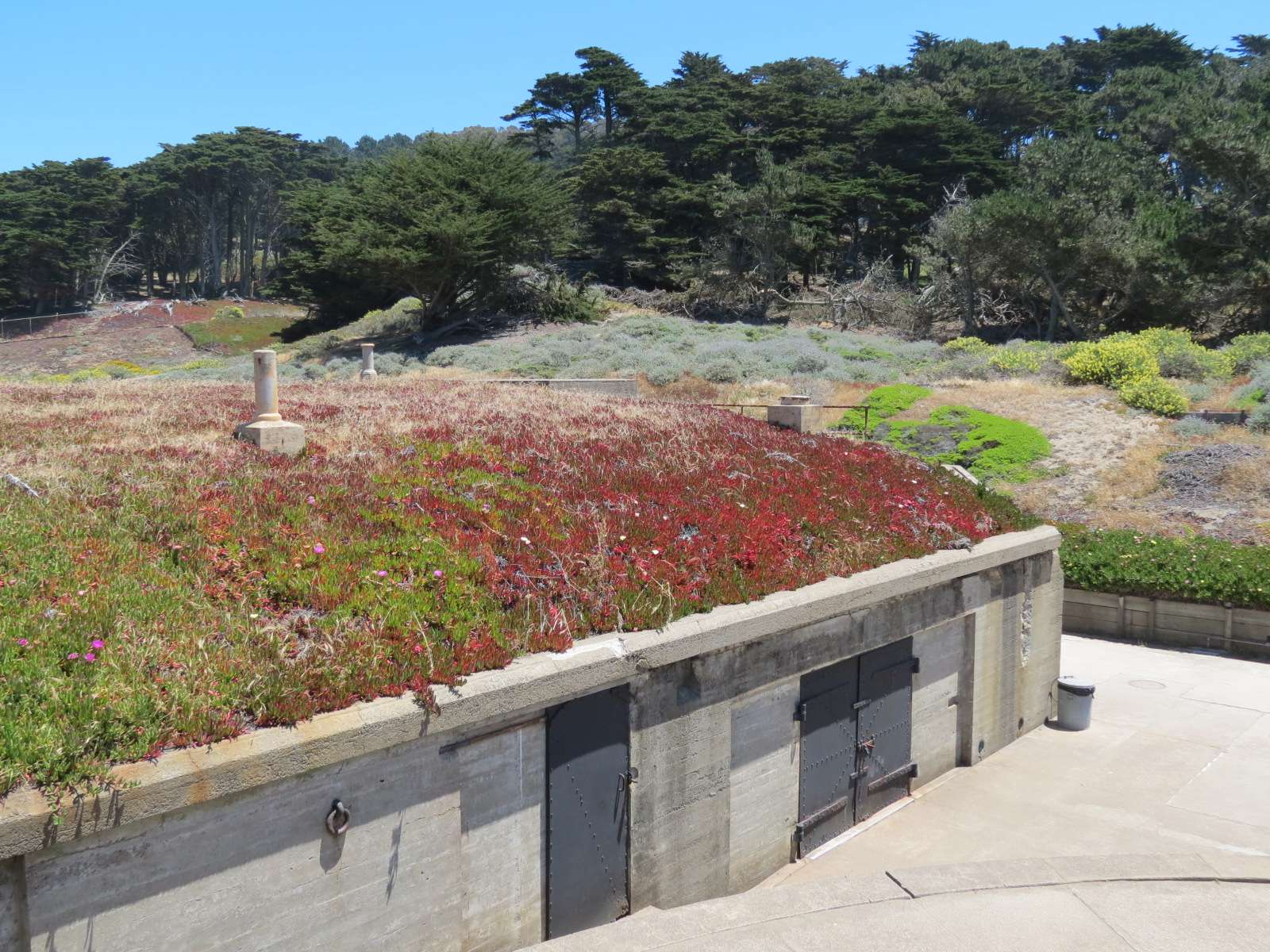
Baker Beach:
This long sandy stretch of Pacific Ocean coastline lies below the city's Seacliff neighborhood on one end and has one of the Presidio's historic military installations near the other: Battery Chamberlin is typical of the many protected mounted gun locations built in the late 19th and early 20th centuries to protect the entrance to the San Francisco Bay. A restored gun is mounted in one of the nodes of the battery and is used occasionally for demonstrations when it is uncovered. Visitors are free to explore most of the batteries and trails provide access to them.
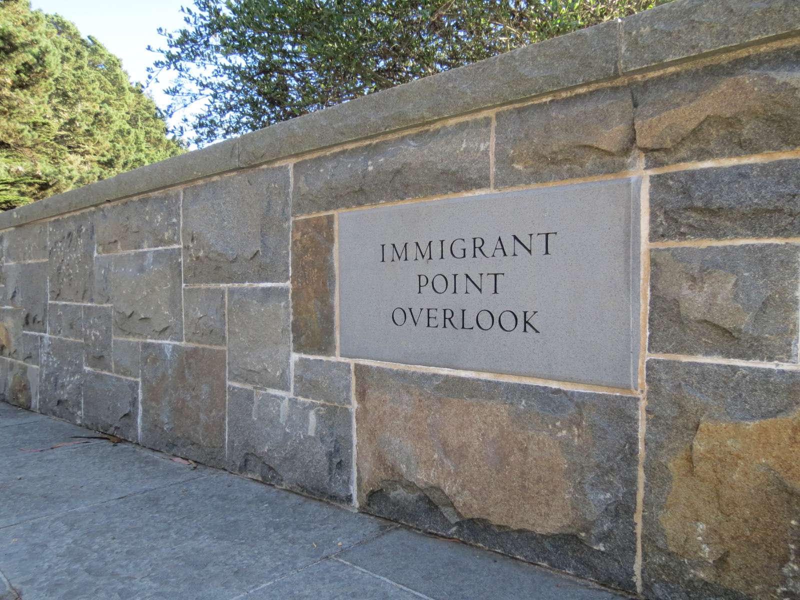
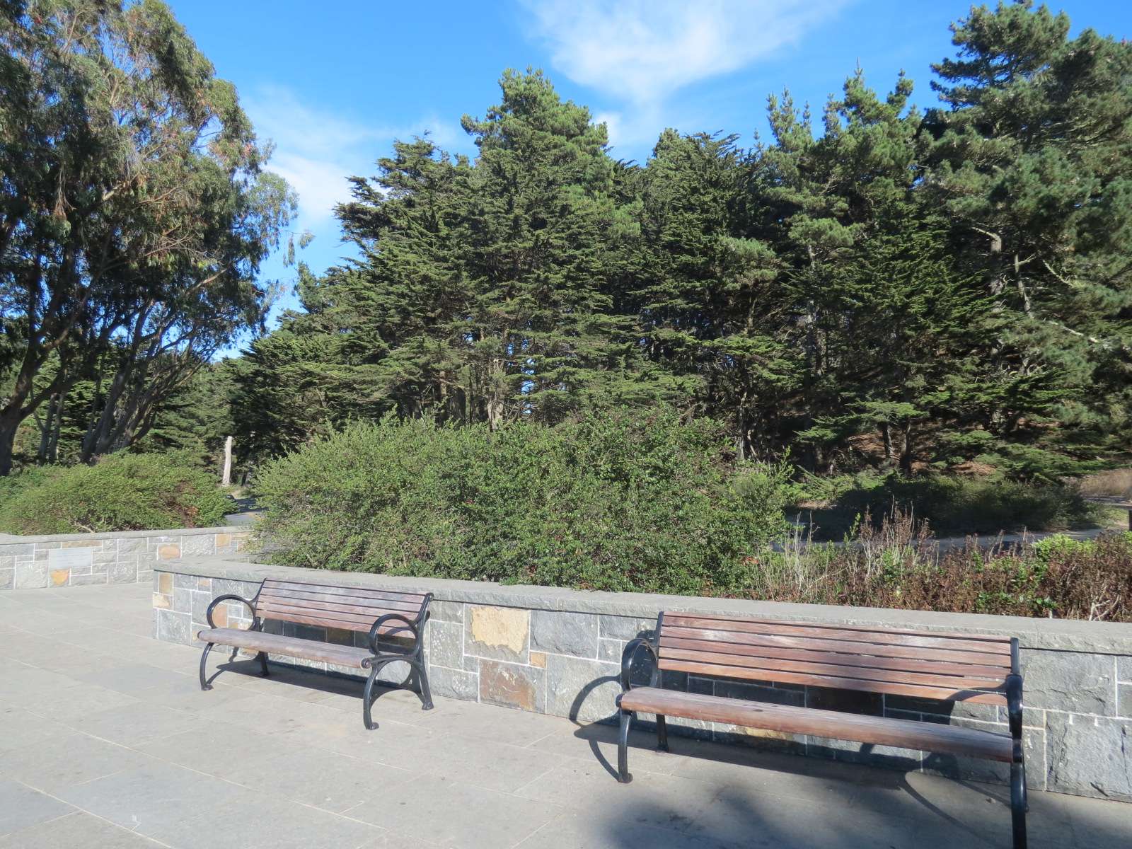
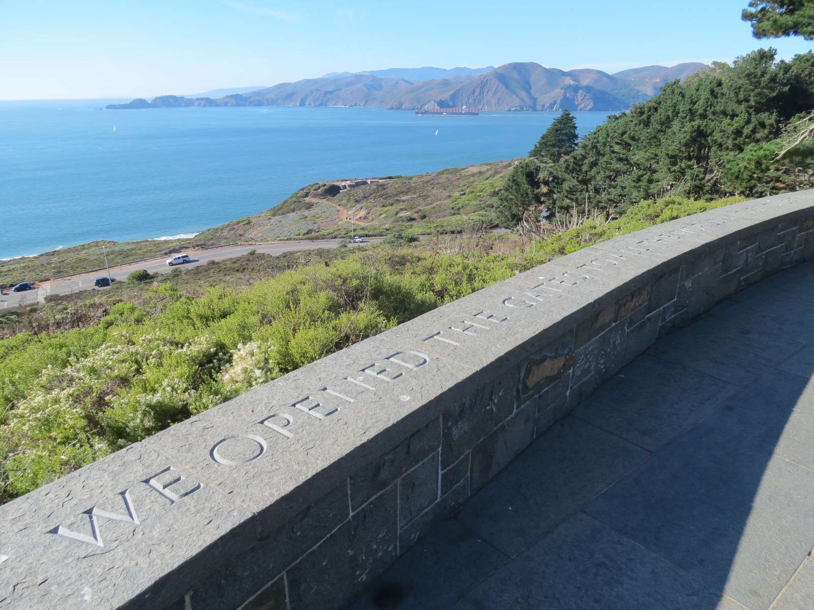
Immigrant Point Overlook:
Many National Park-quality overlooks have been built in the last ten years around the Presidio, located adjacent to the park's roads. This one is located on Washington Boulevard, on a steep slope up from the beach and bluffs, and has a commanding view of the Pacific Ocean and the Marin Headlands which form the Northern landmass at the entrance to San Francisco Bay.

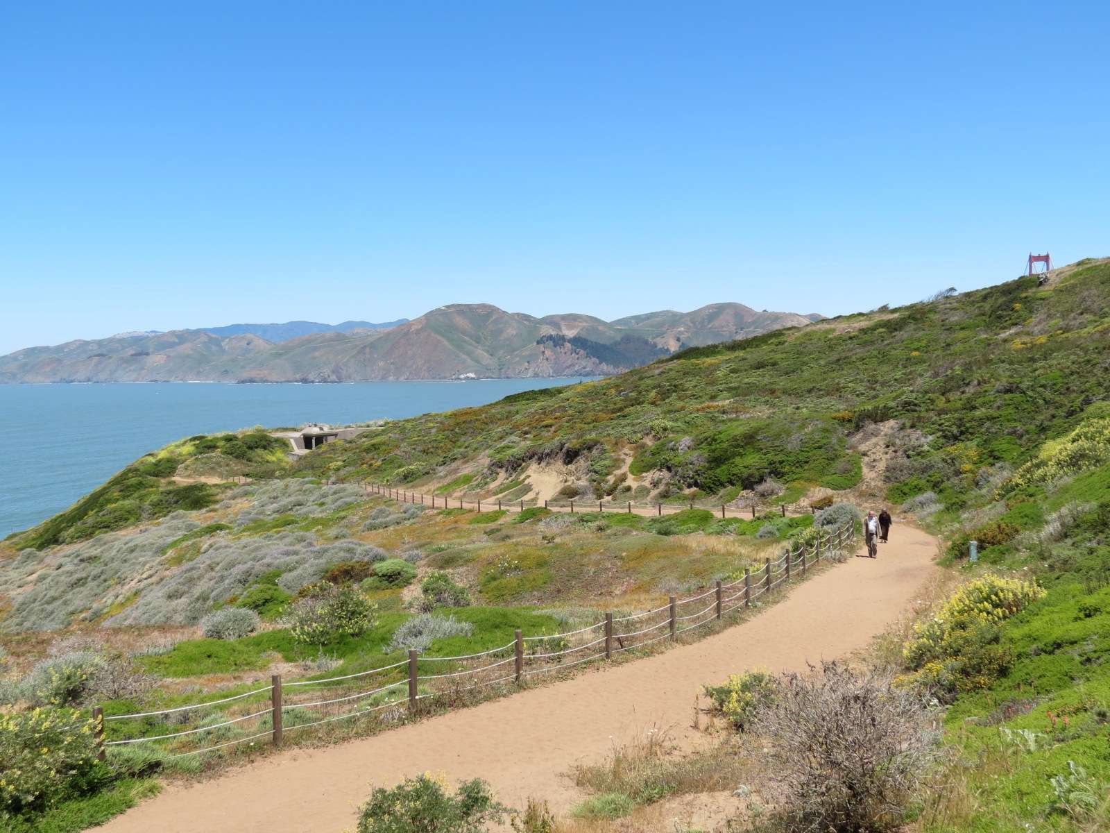
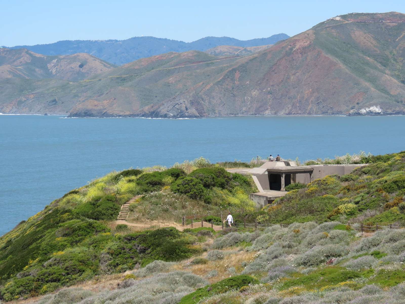
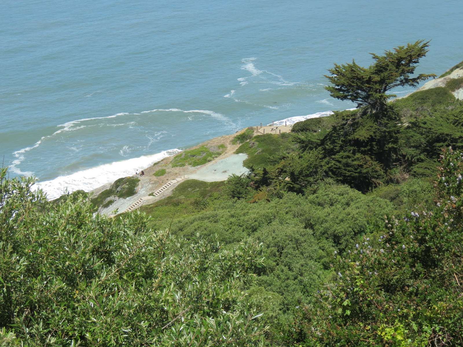
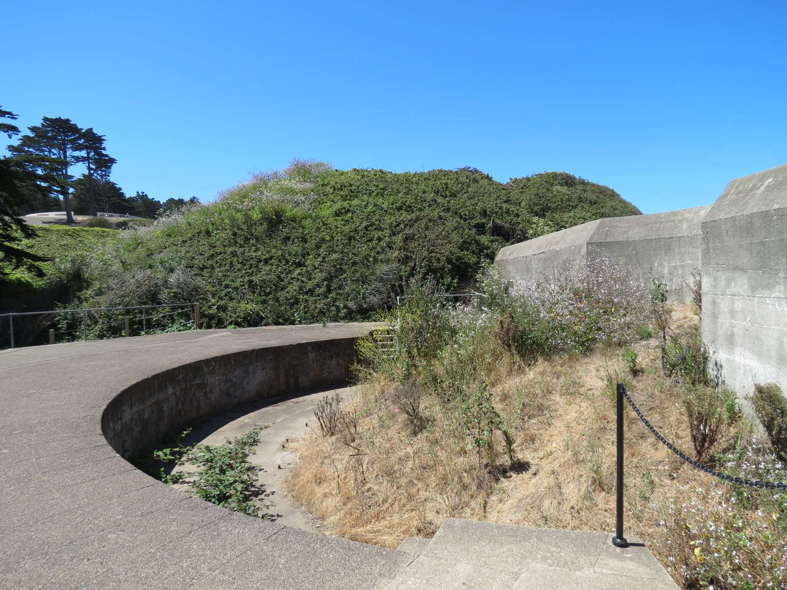
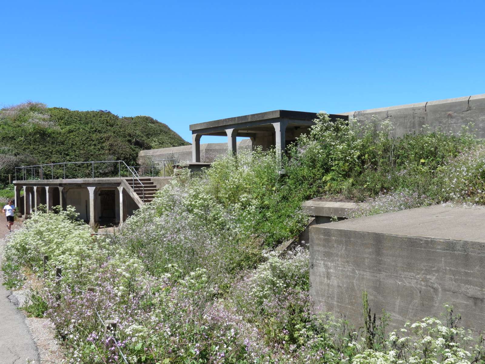
Batteries to Bluffs Trail:
Battery Crosby is located along this walkway. The landscape is typical of the intensive efforts to restore the native plant communities of the area.
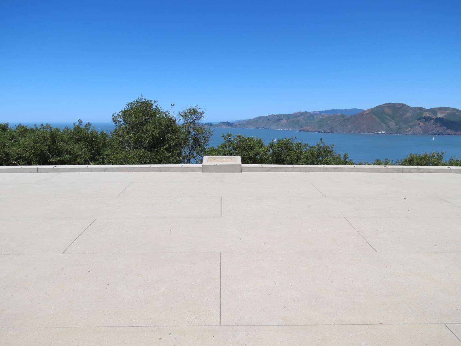
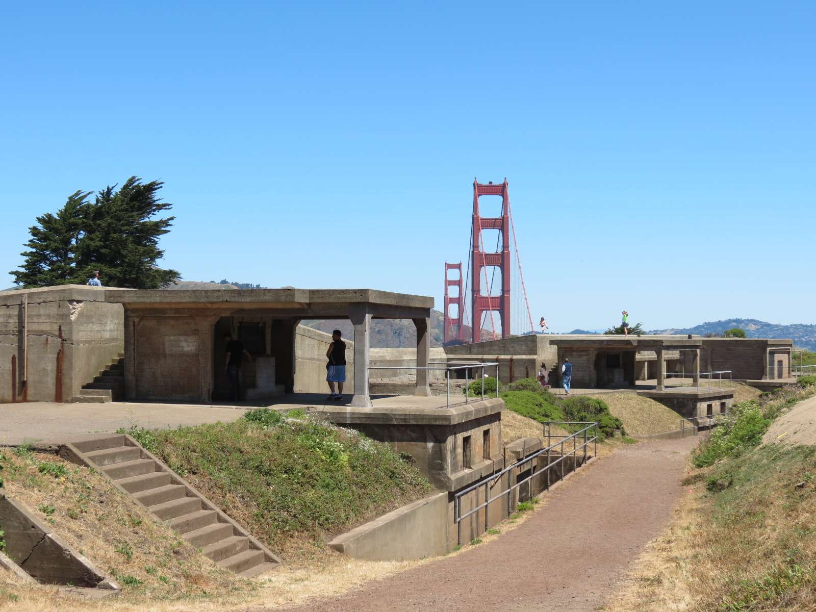
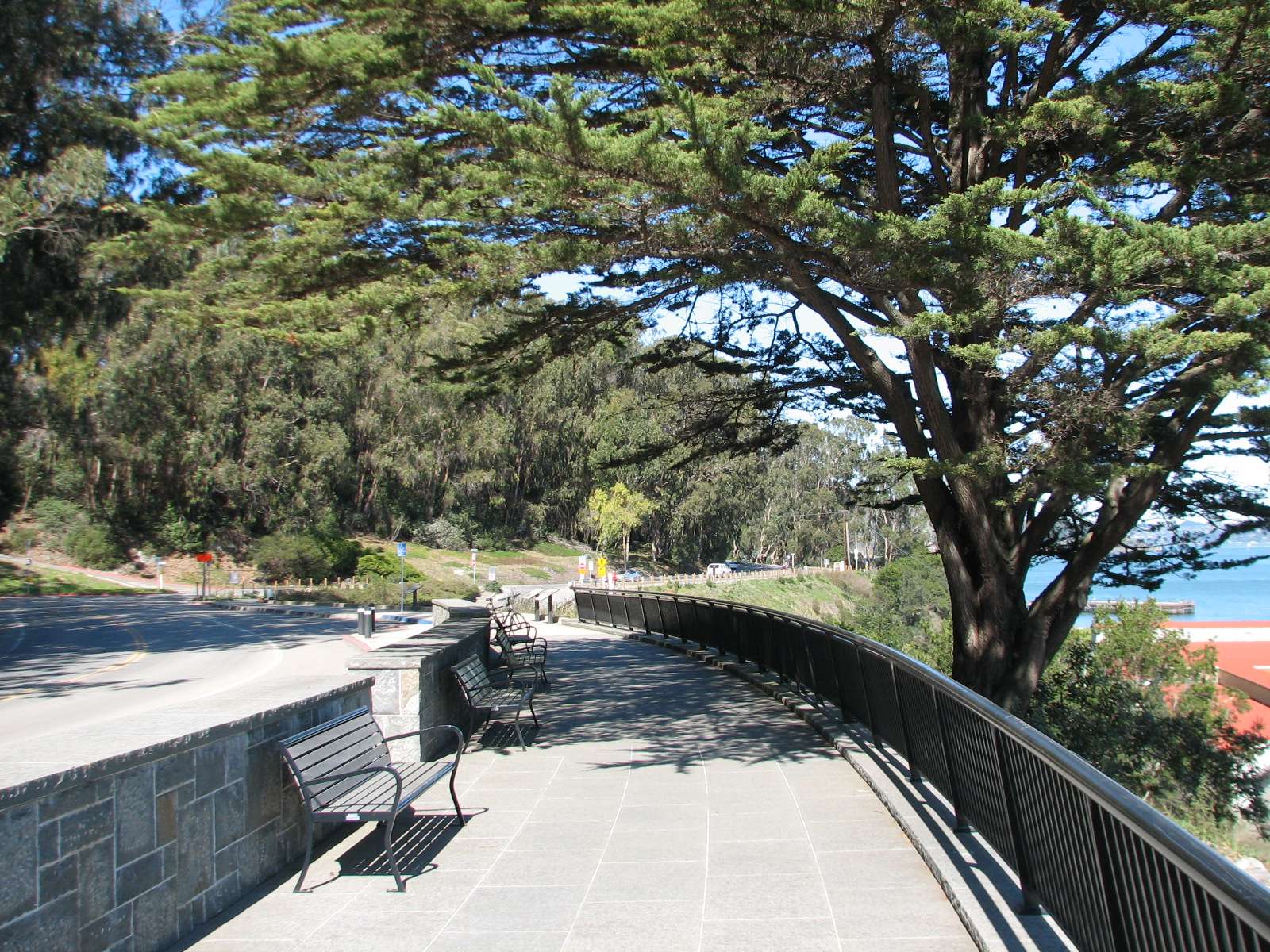
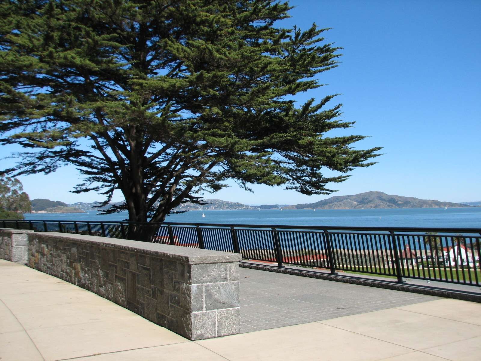
Pacific Overlook:
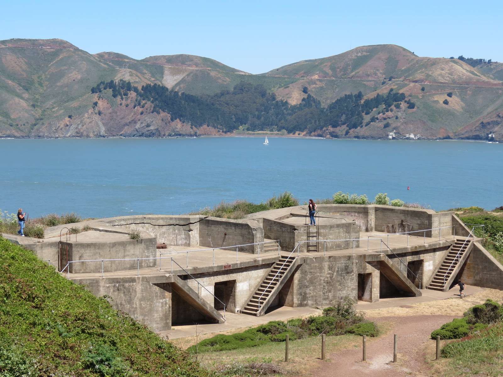
Battery Boutelle and Battery Godfrey:
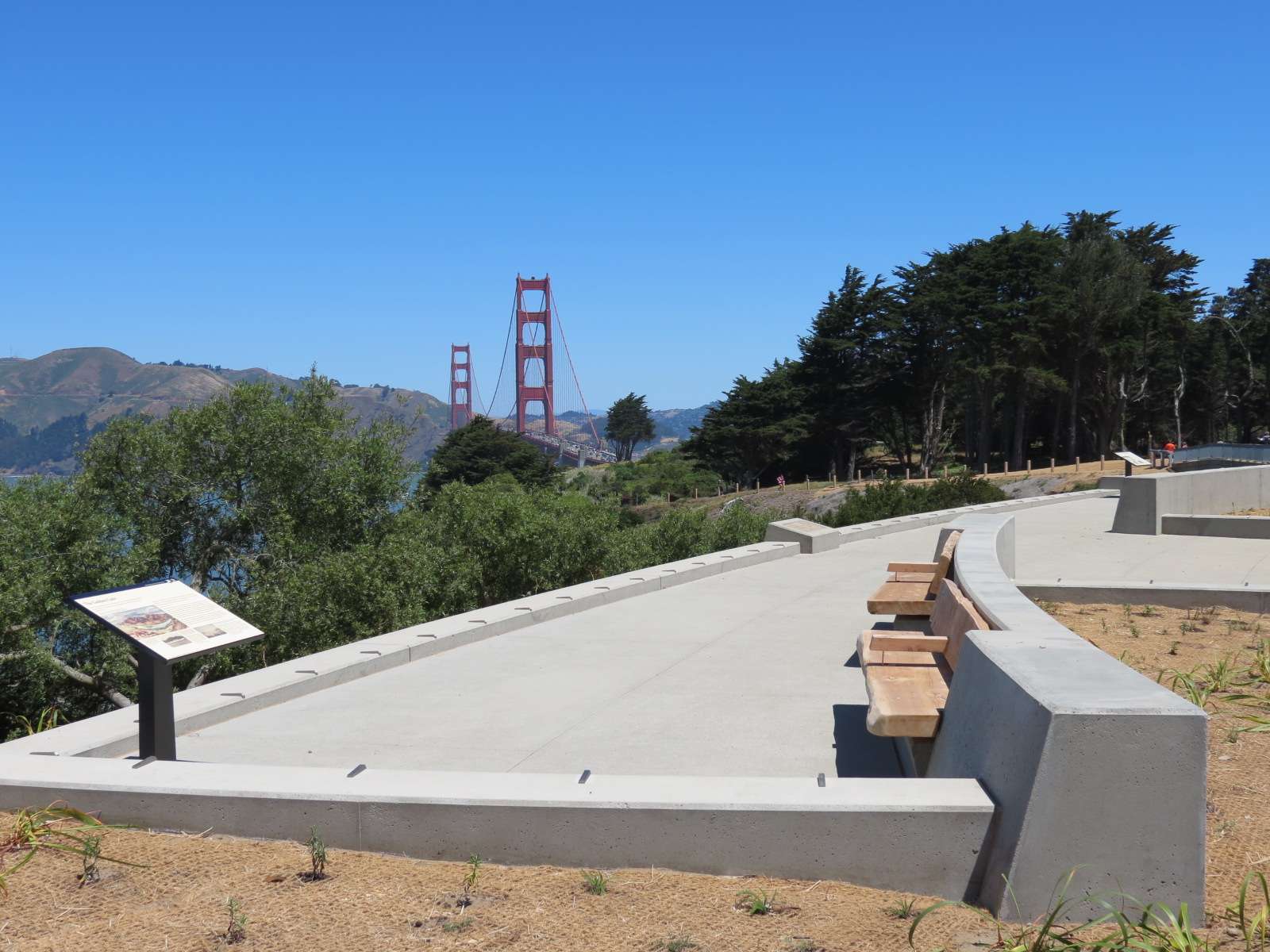
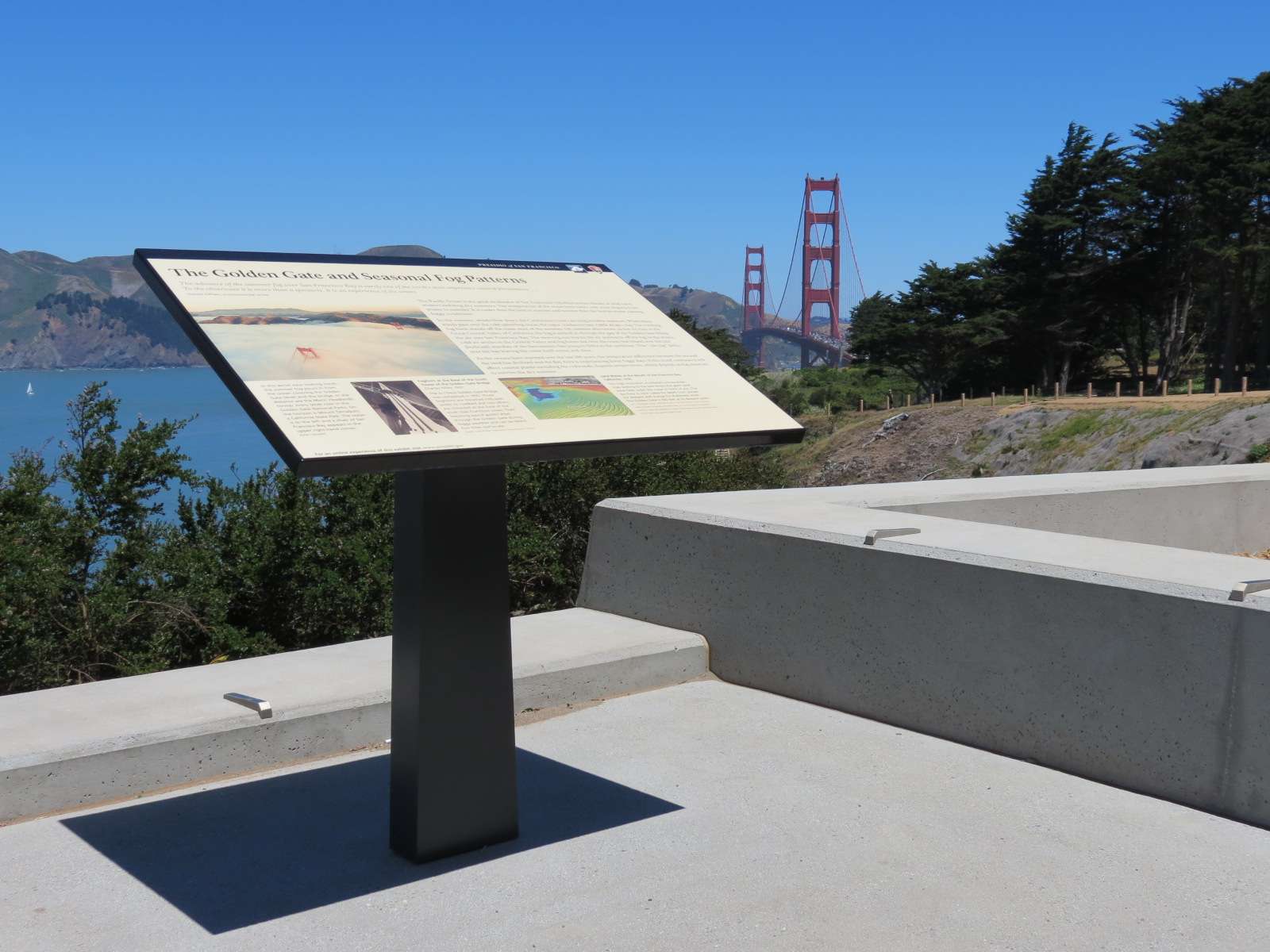
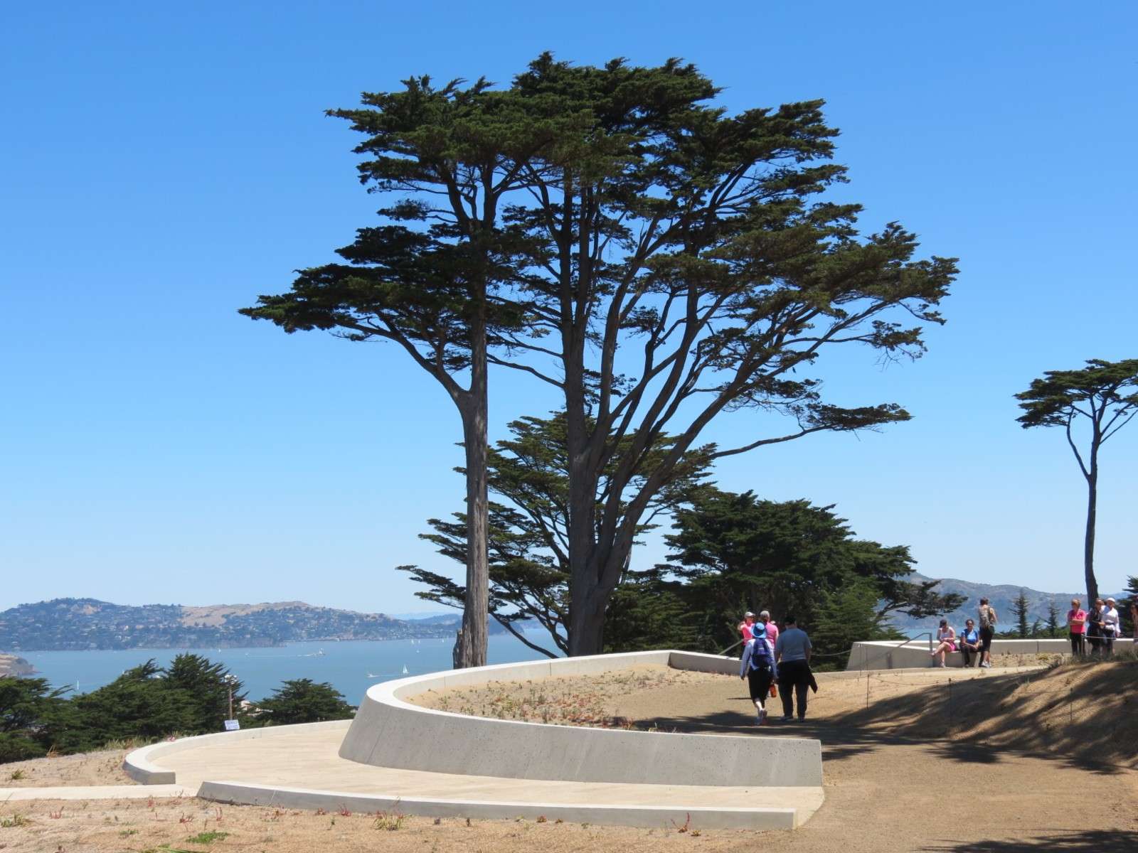
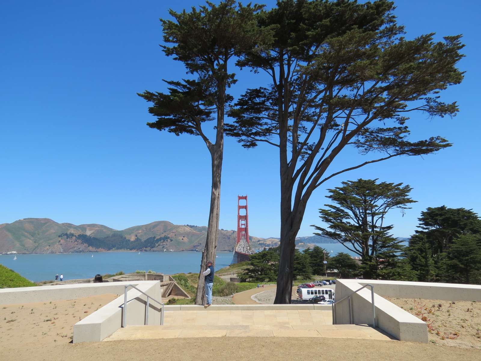
Golden Gate Overlook:
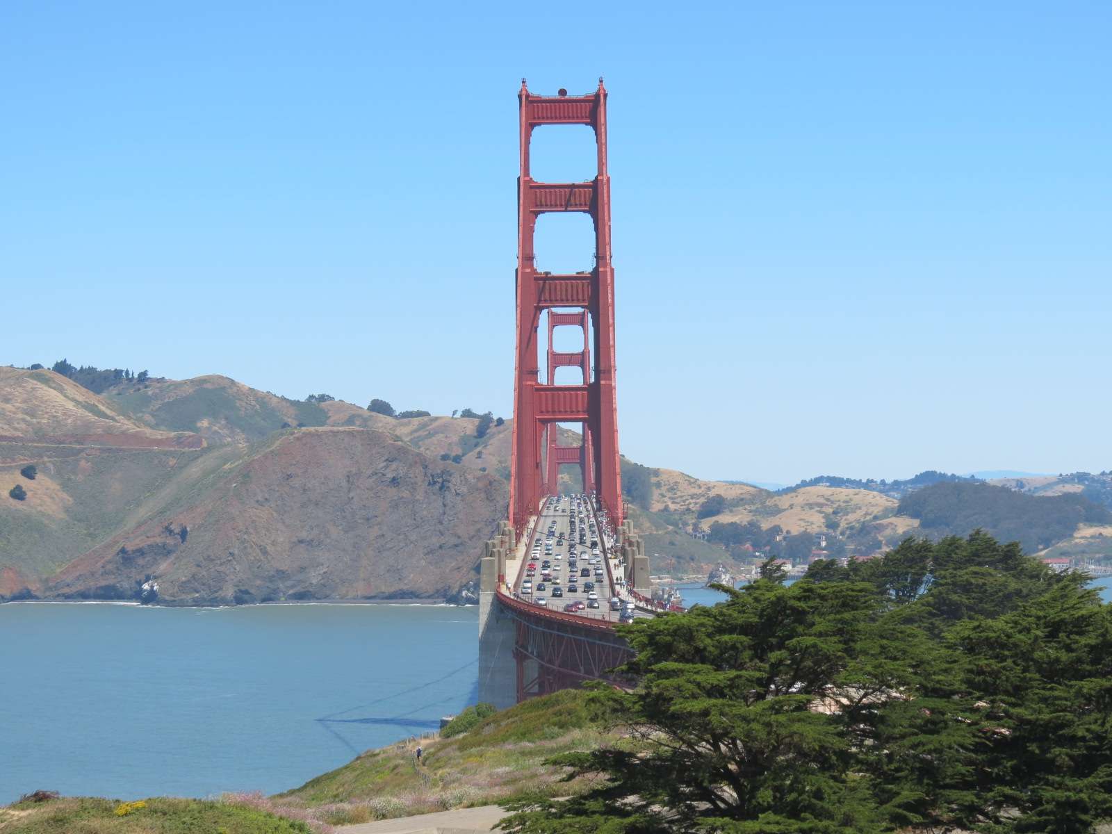
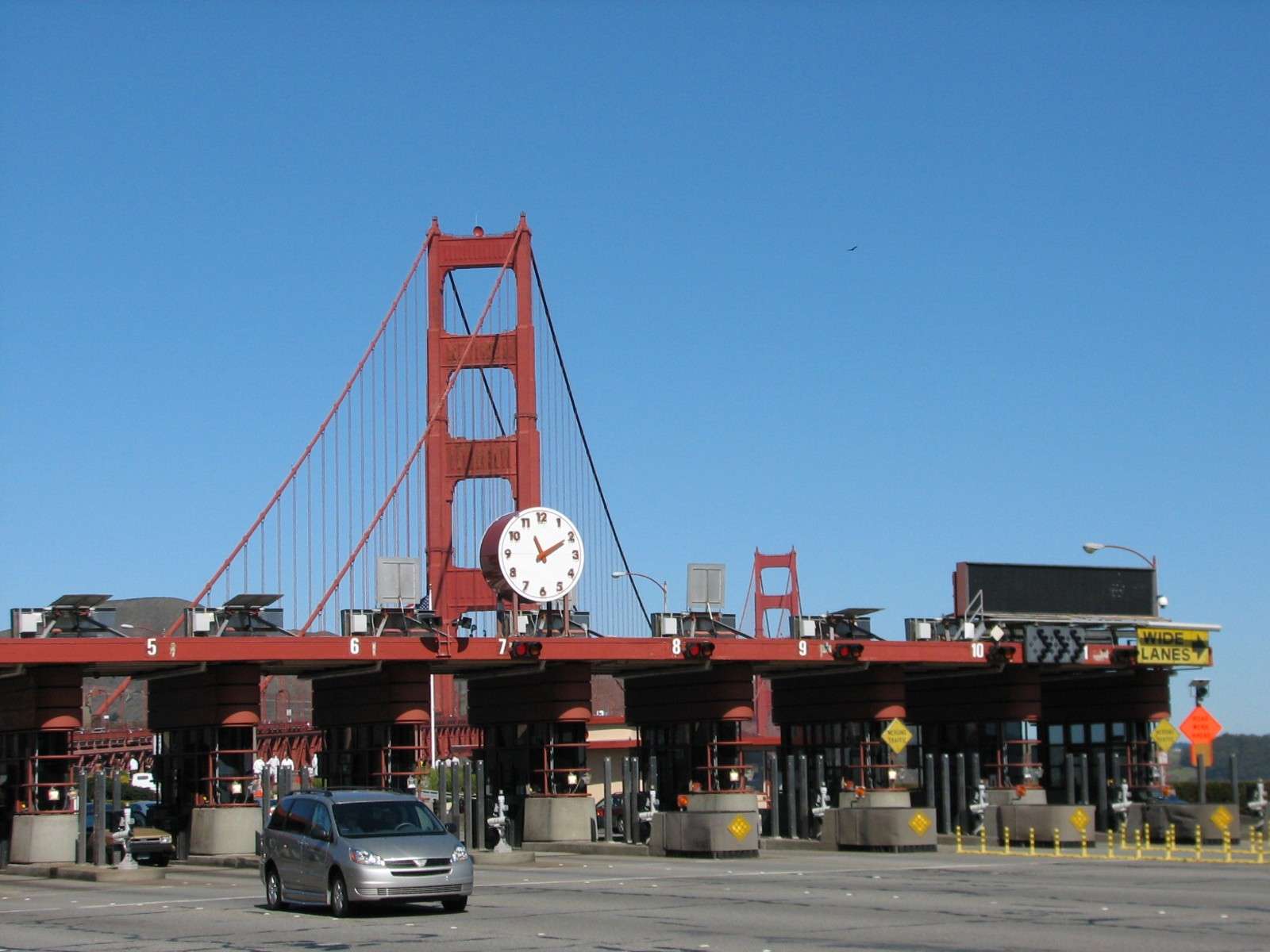
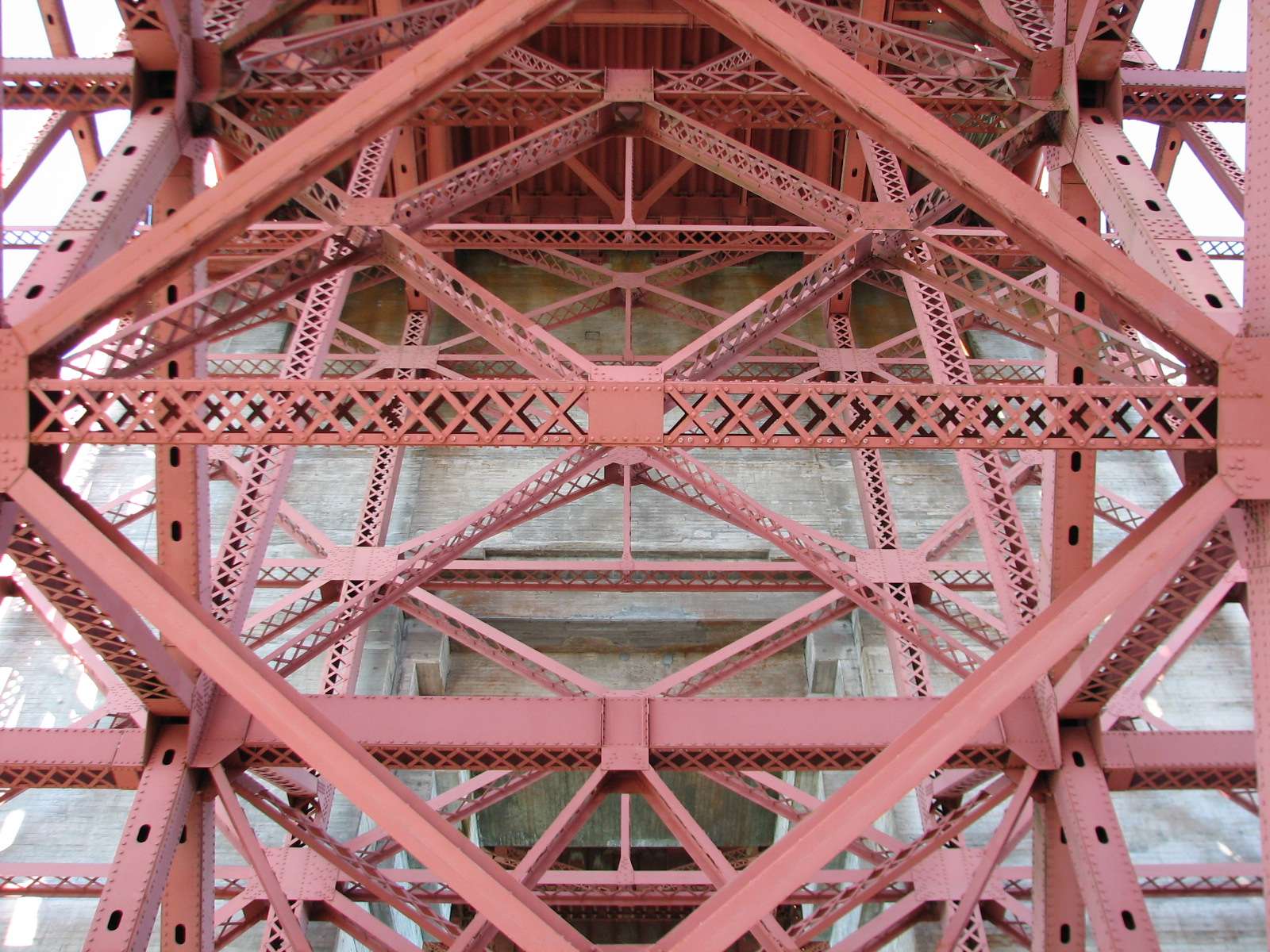
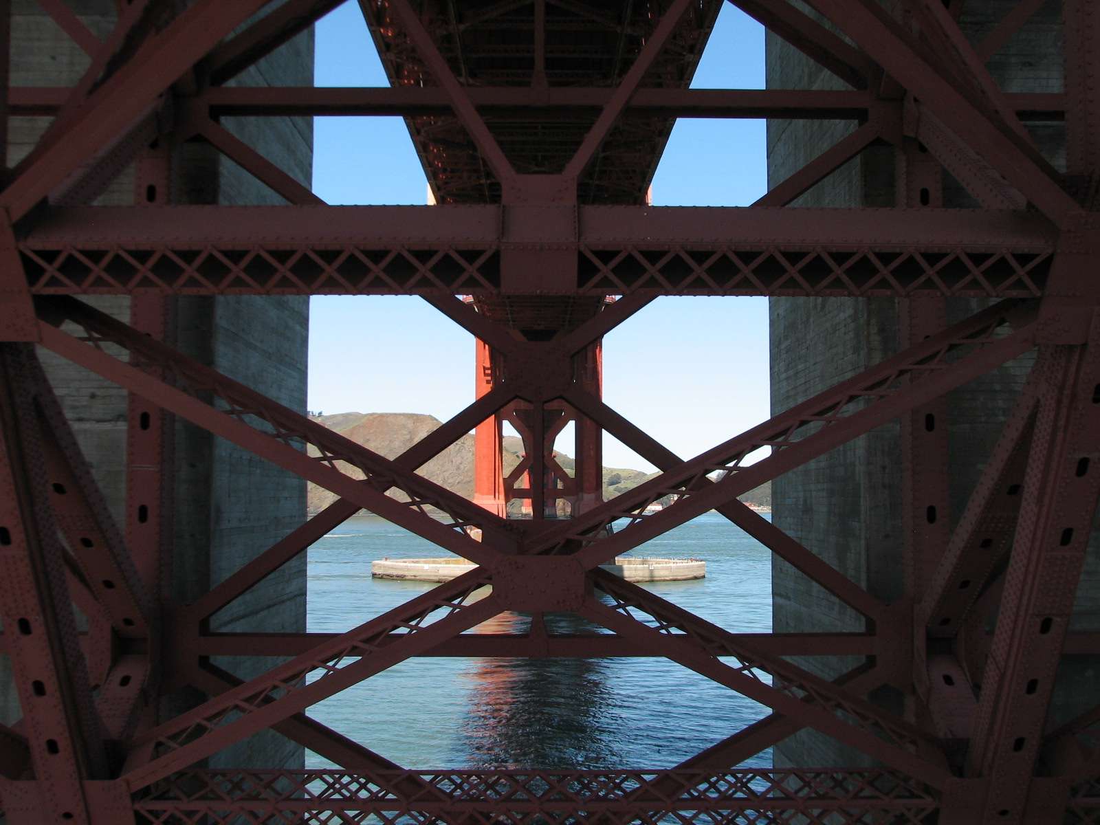
Golden Gate Bridge Toll Plaza:
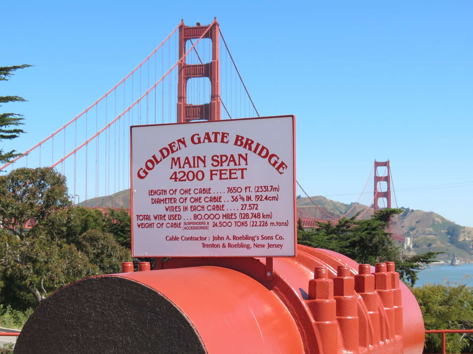
The San Francisco side of this famous 1937 bridge is where tolls are collected for automobiles traveling from the North into the city. Adjacent to the roadway is a pedestrian area with a few historic visitor buildings including the Bridge Cafe and Bridge Round House.


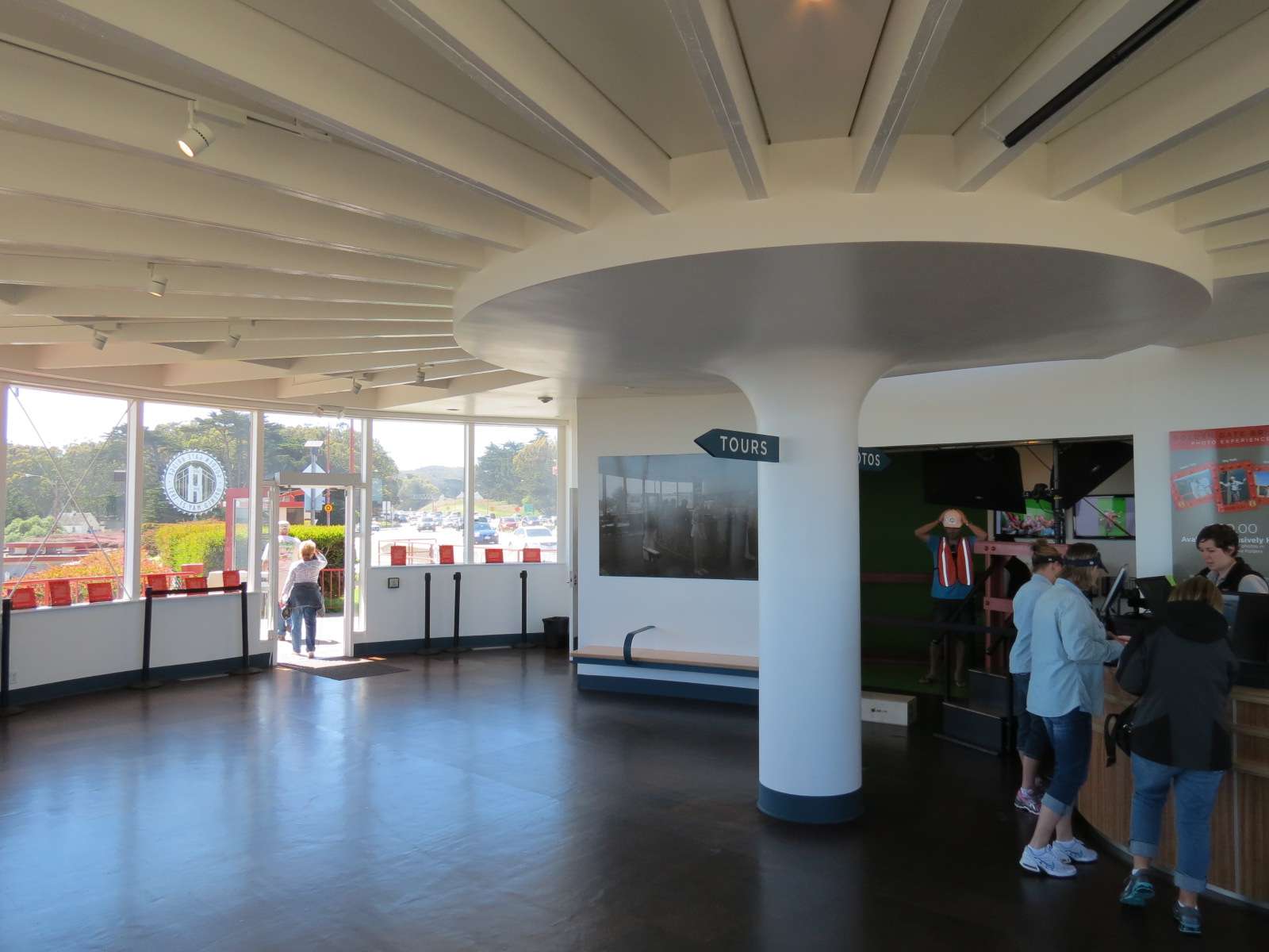
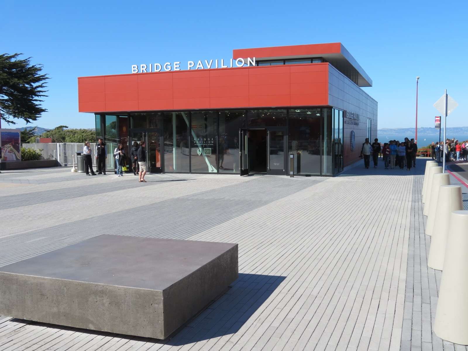
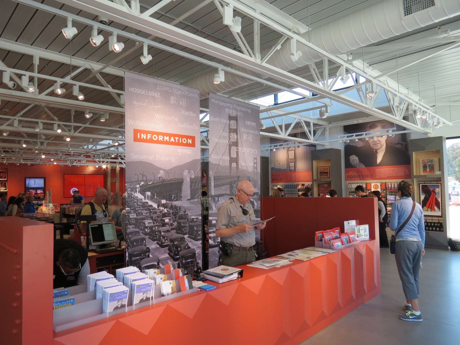
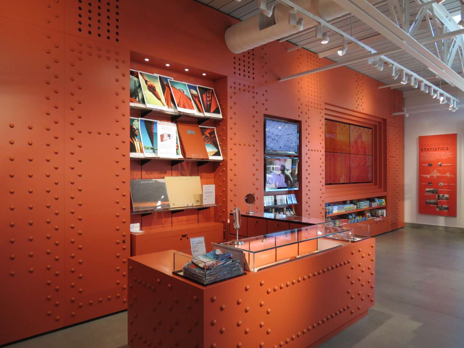
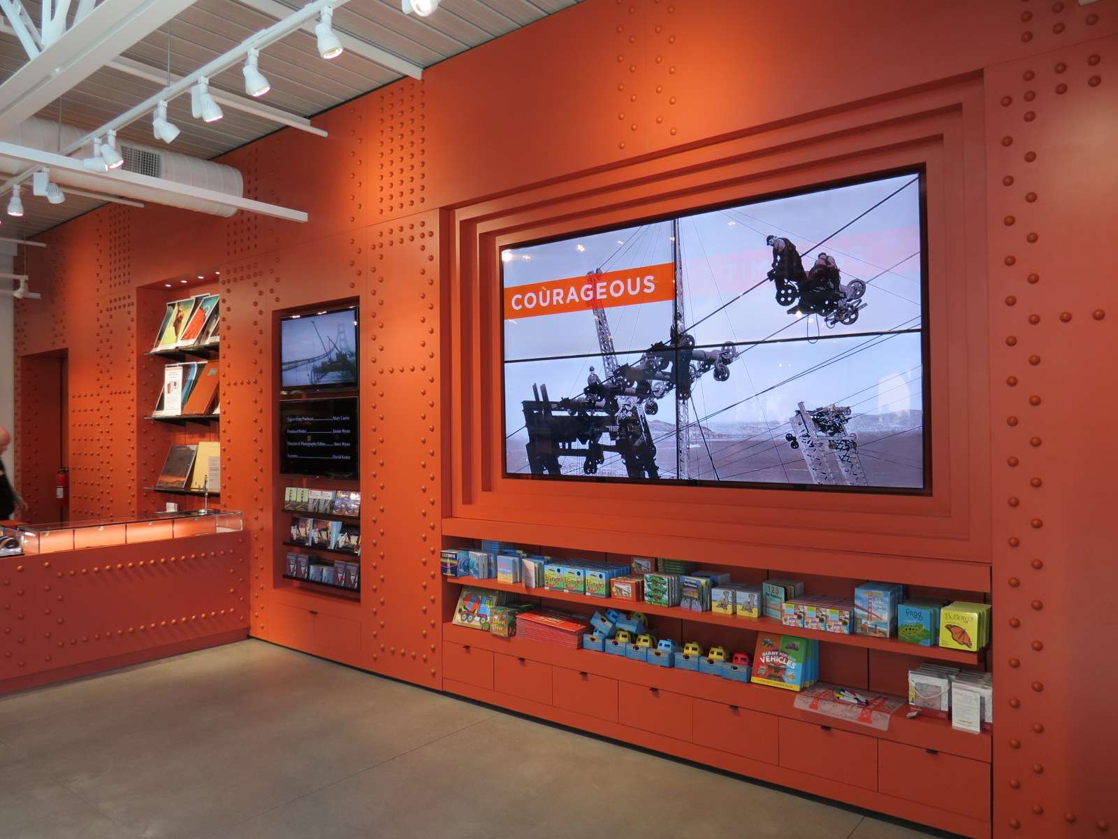
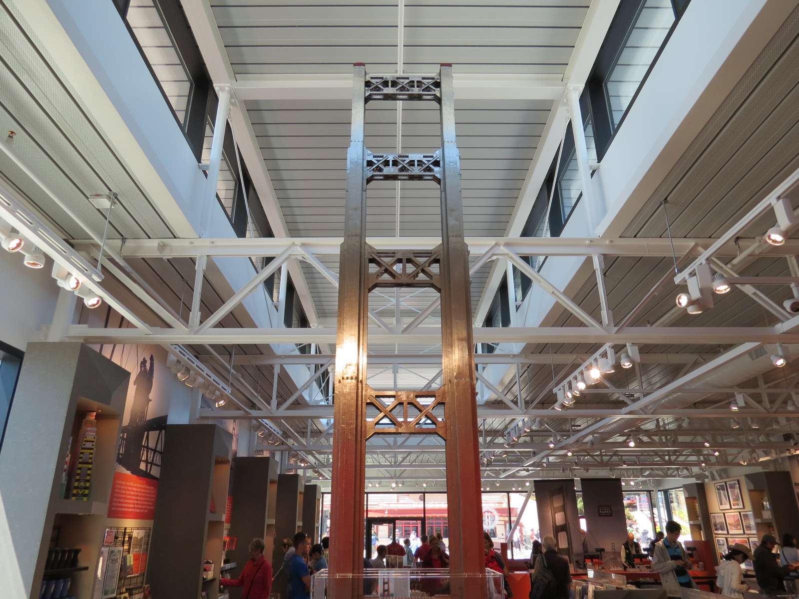
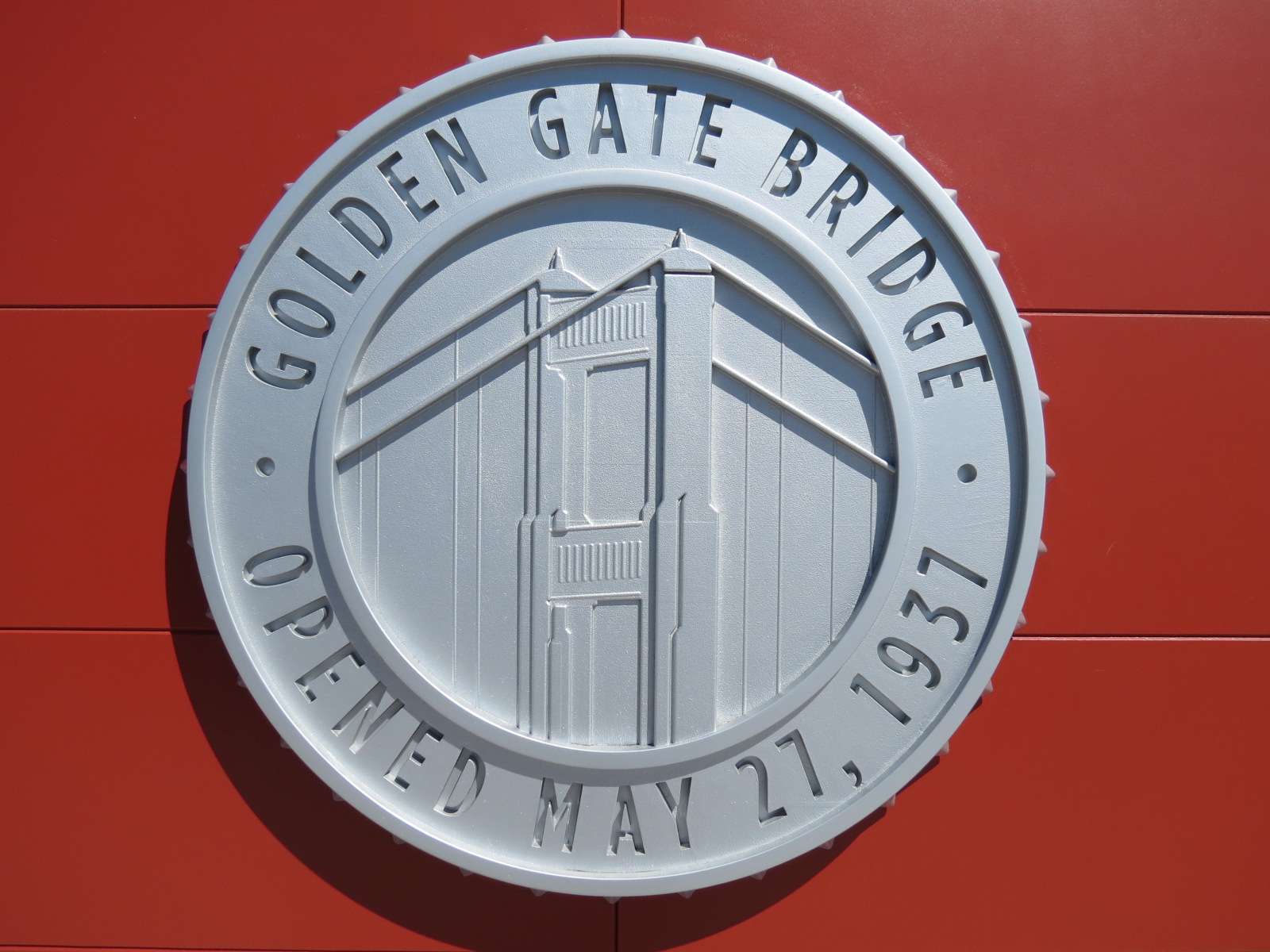
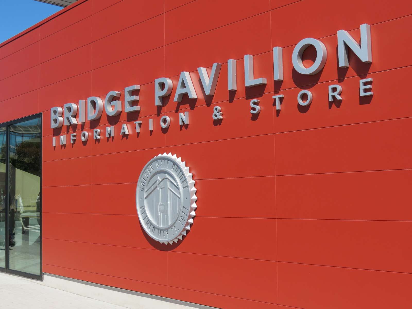
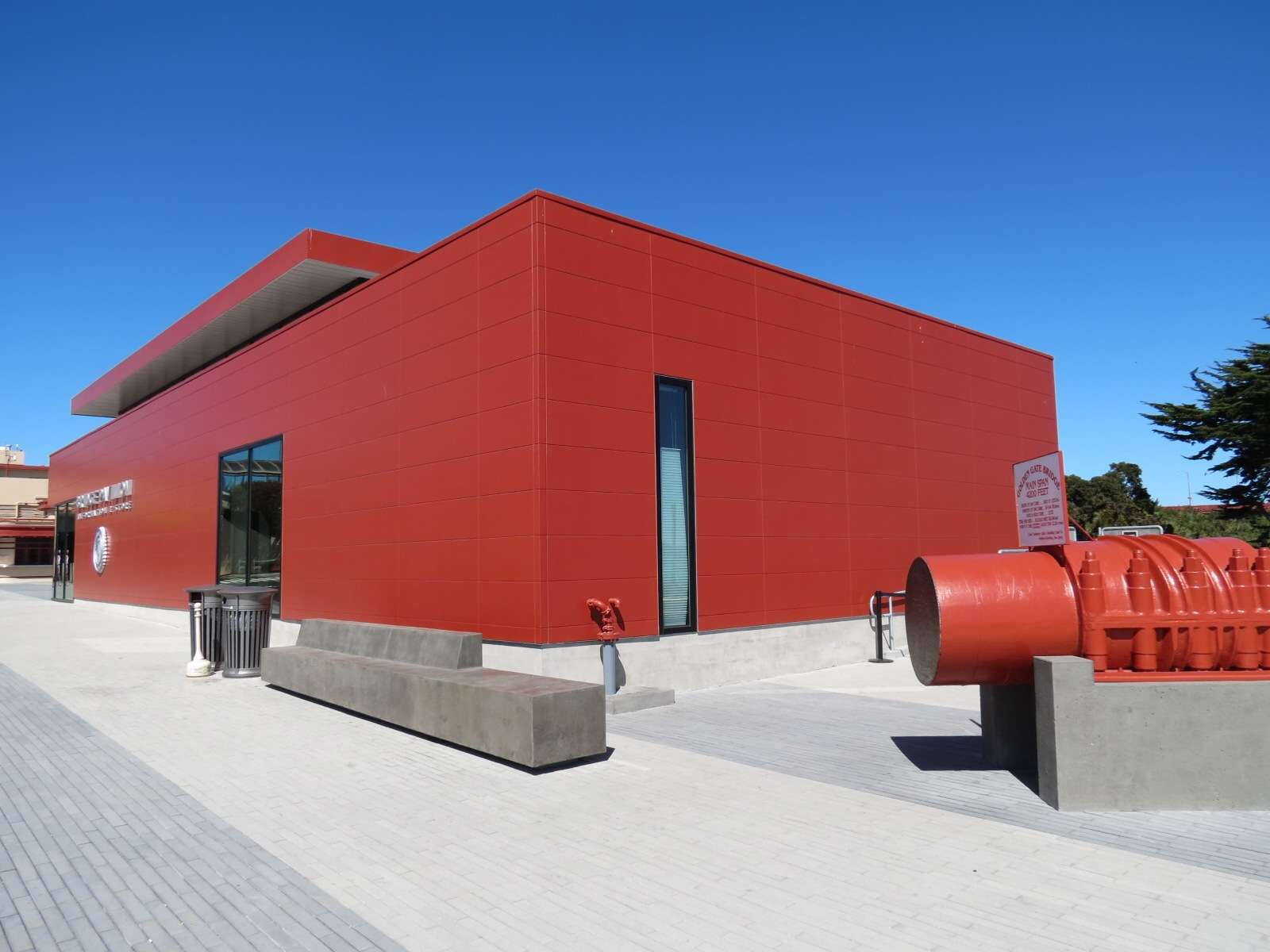
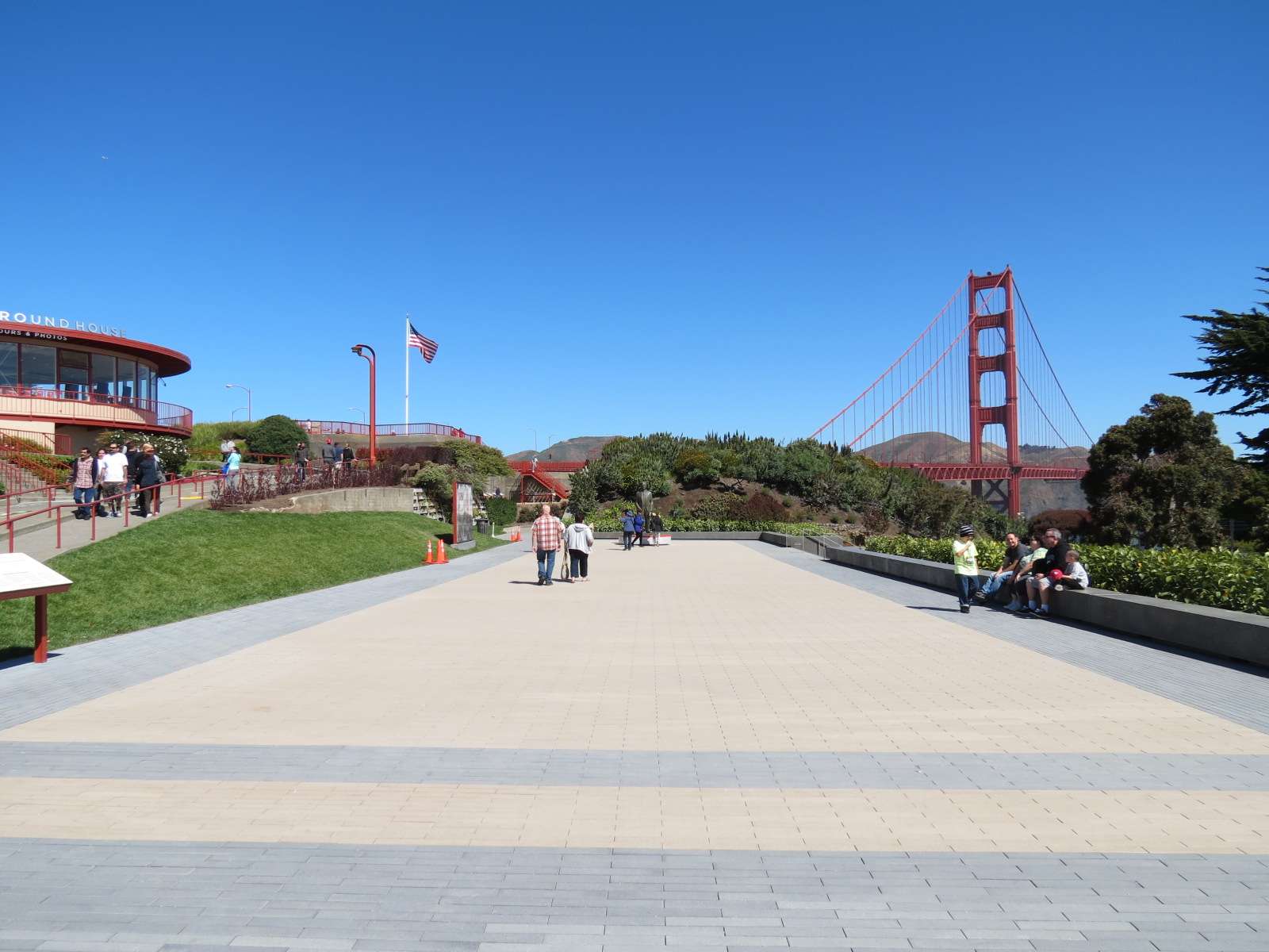
Bridge Pavilion:
For the bridge's 75th anniversary in 2012, improvements were made to the congested pedestrian plaza and overlook adjacent to the San Francisco side of the bridge, including the addition of a pavilion. The Bridge Pavilion's function is a hybrid of a visitor center and a gift shop; traditionally these two functions would be separated into two areas of a building, but this one integrates both in the same room. One might call this approach 'Edushopping'? Regardless of this questionable approach, the interior is highly evocative of the attraction it interprets.
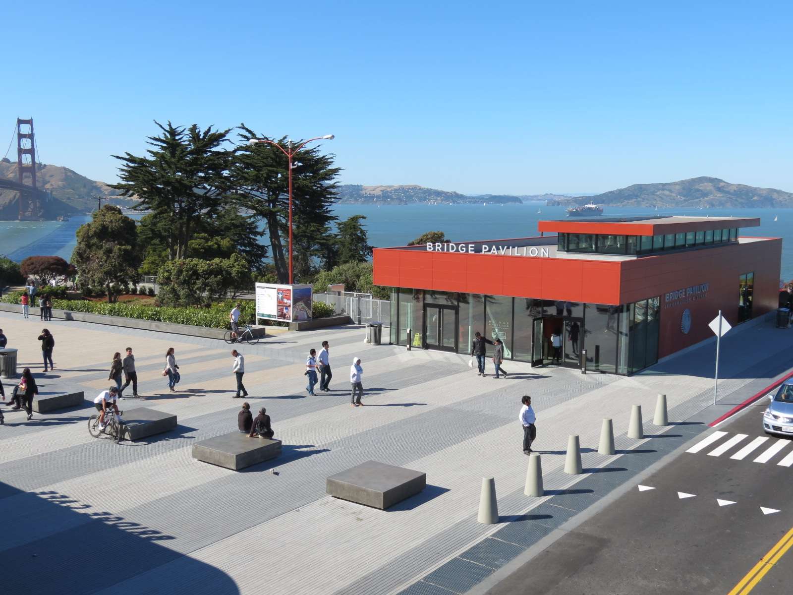

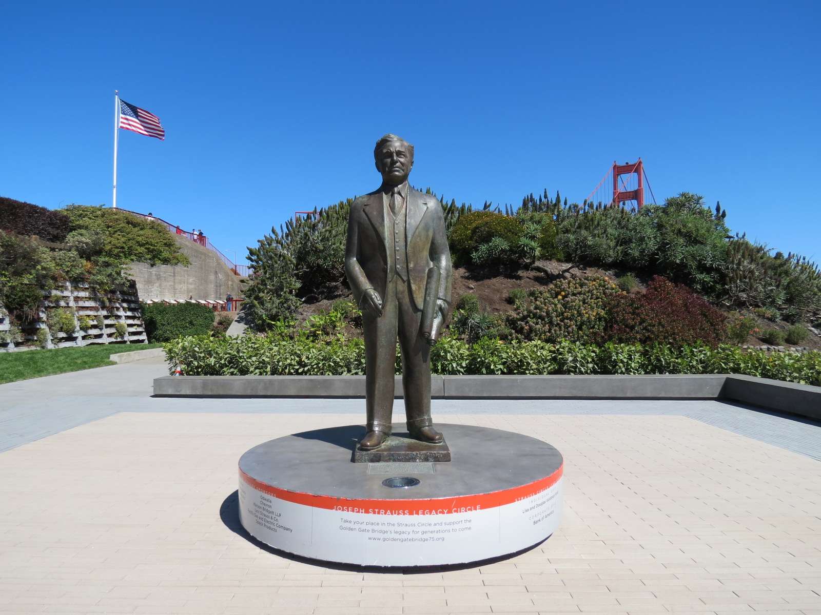
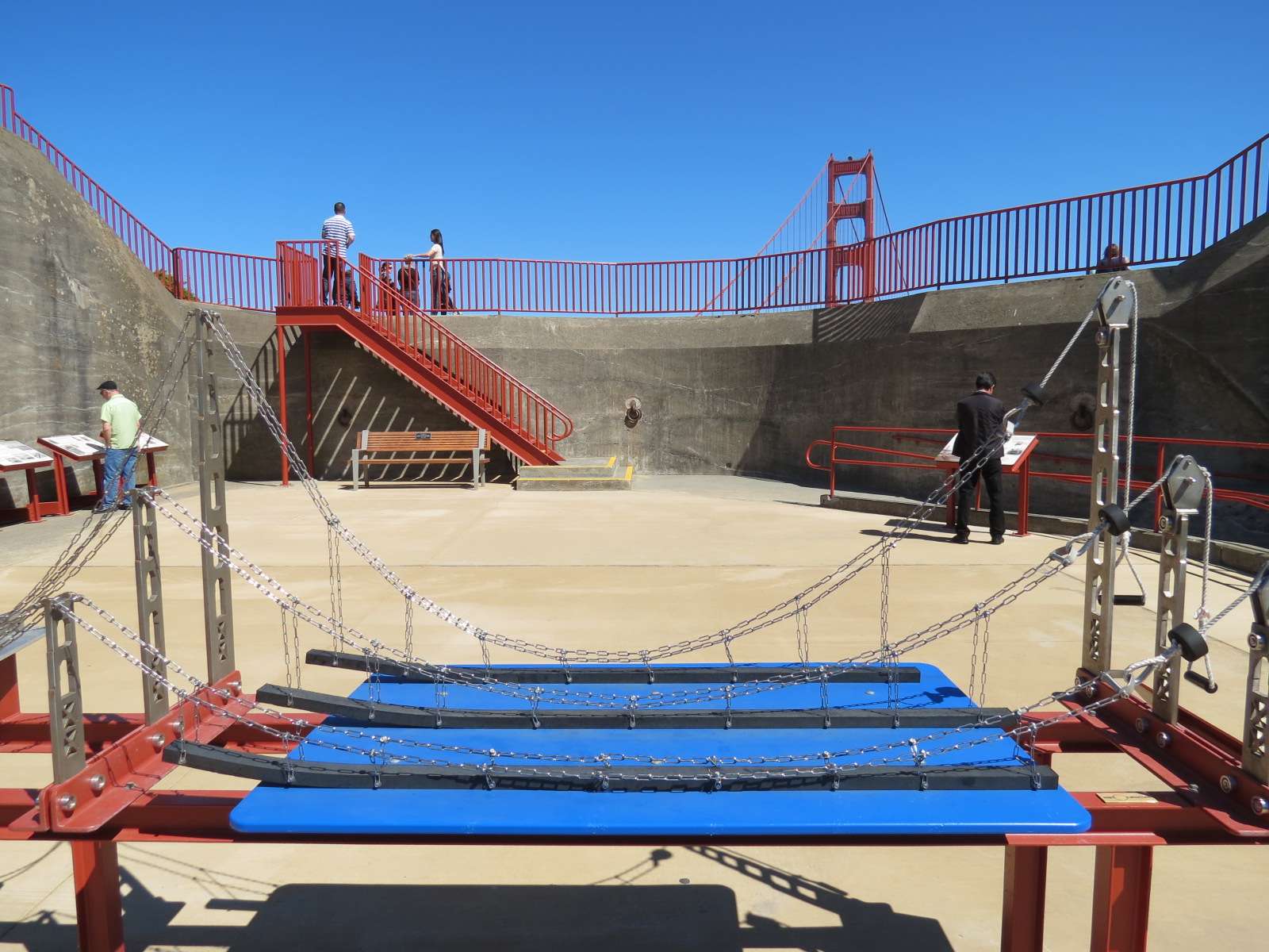
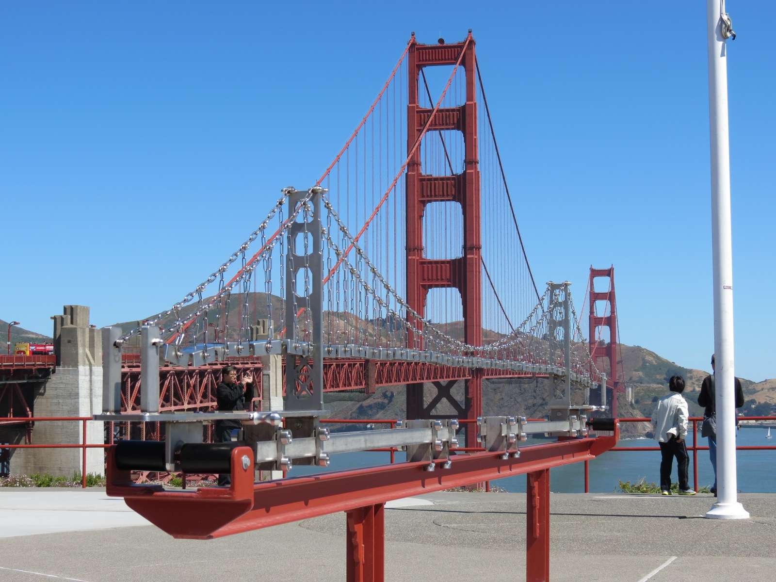
Golden Gate Bridge Overlook:
The modern pedestrian plaza in front of the Bridge Pavilion leads to an overlook with many interpretive exhibits located on top of another historic military landscape structure, Battery Lancaster.


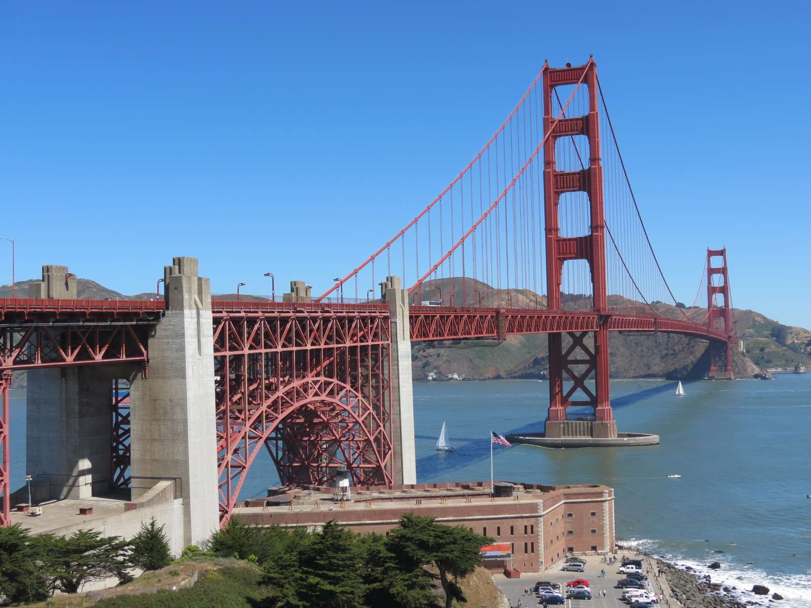
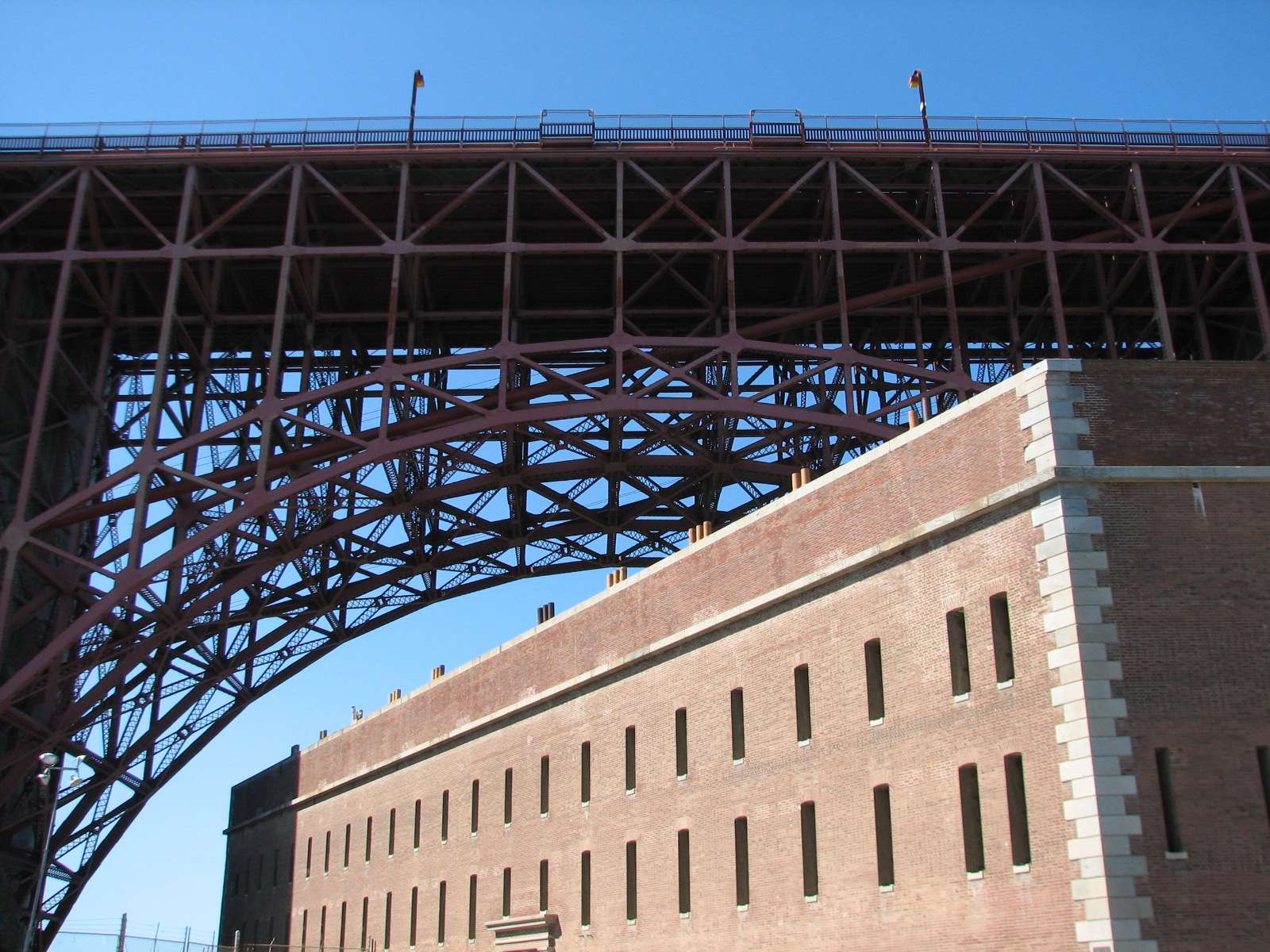
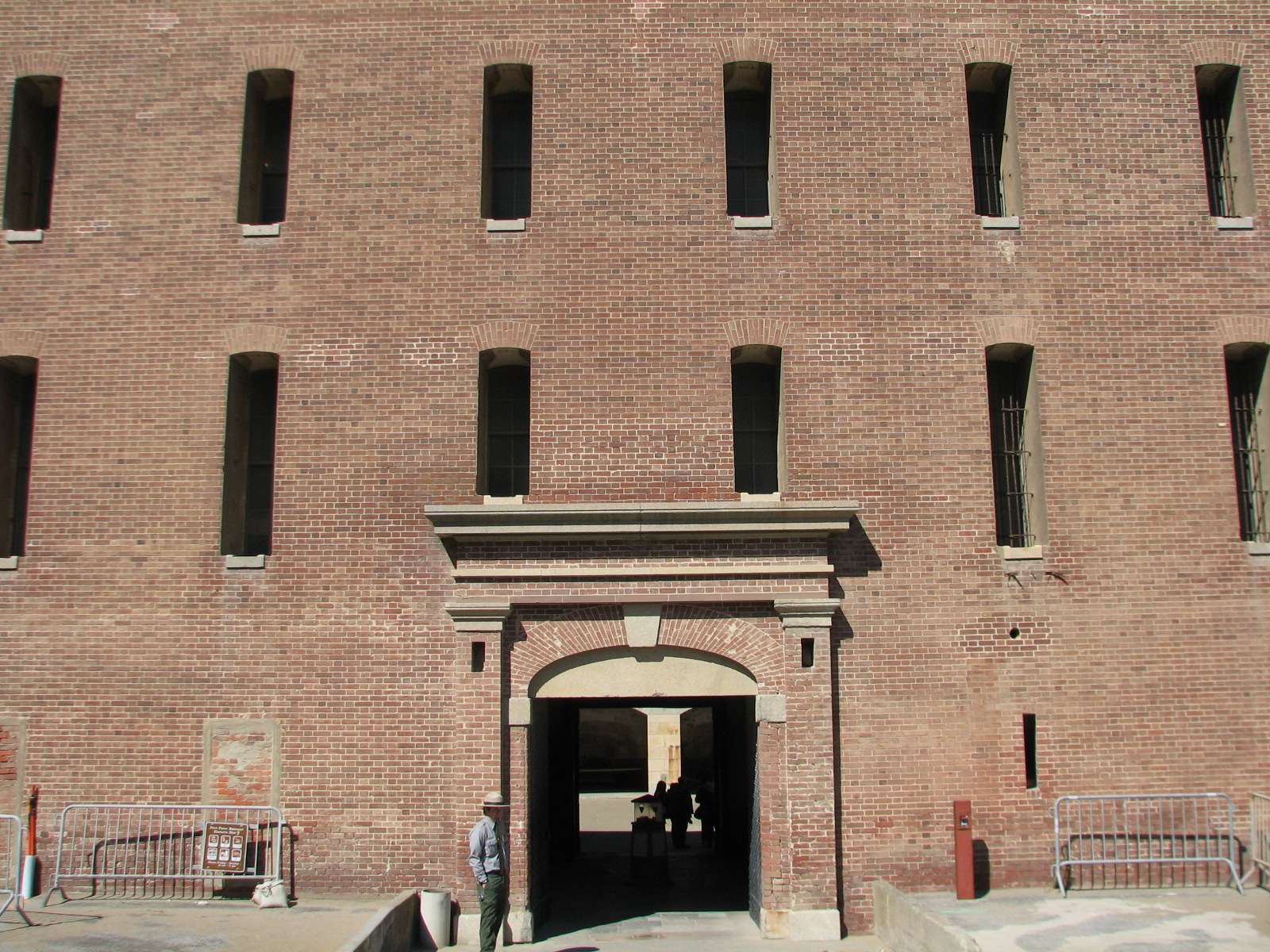
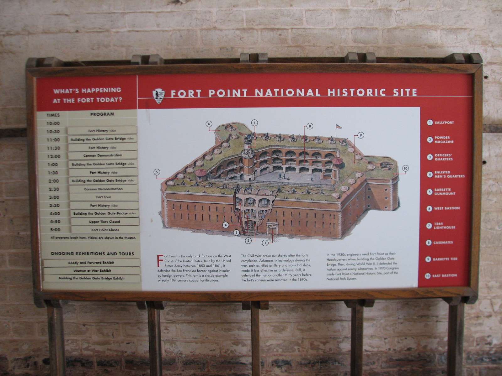
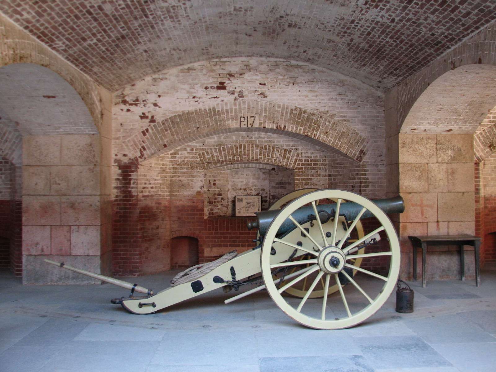
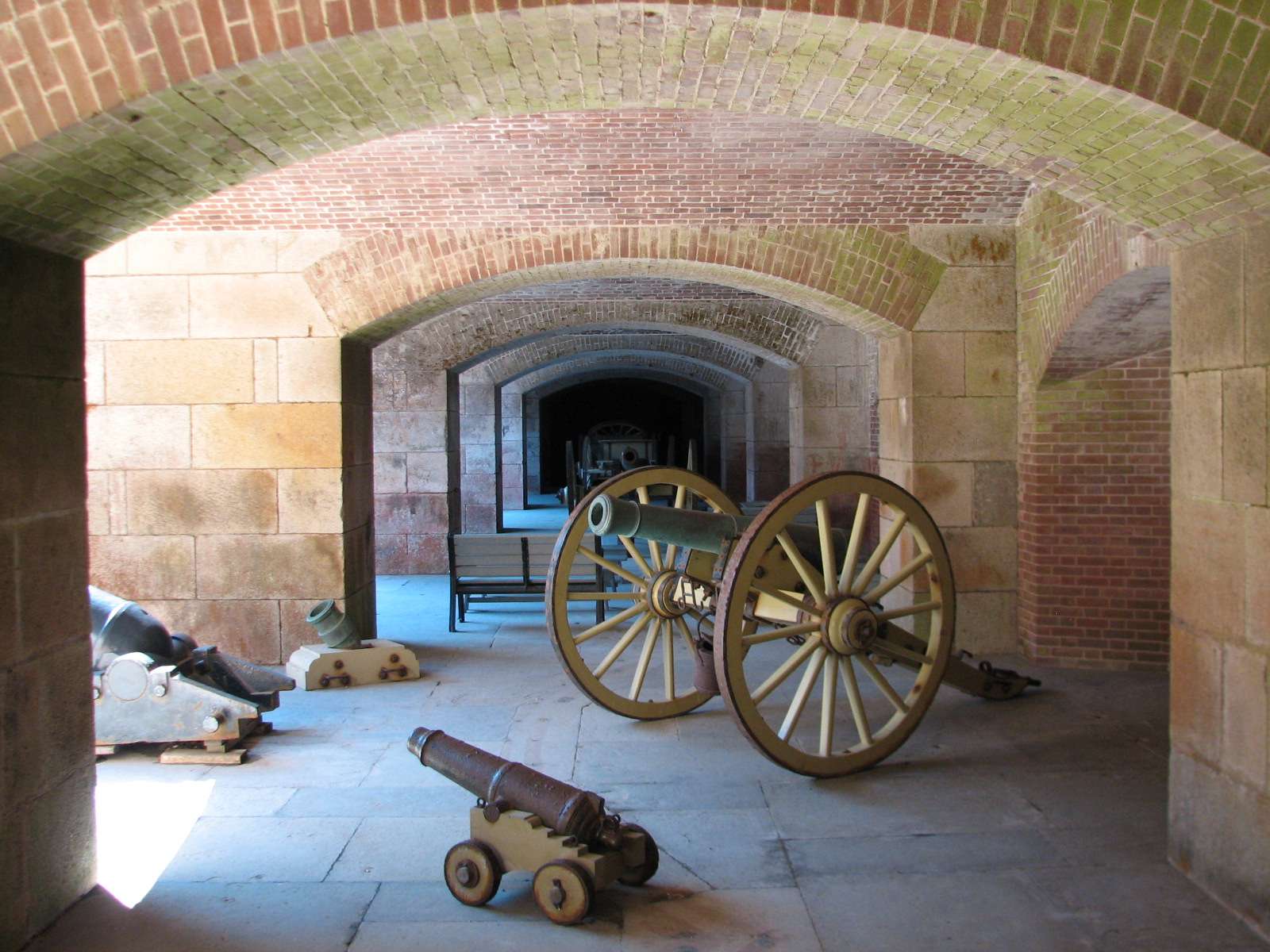
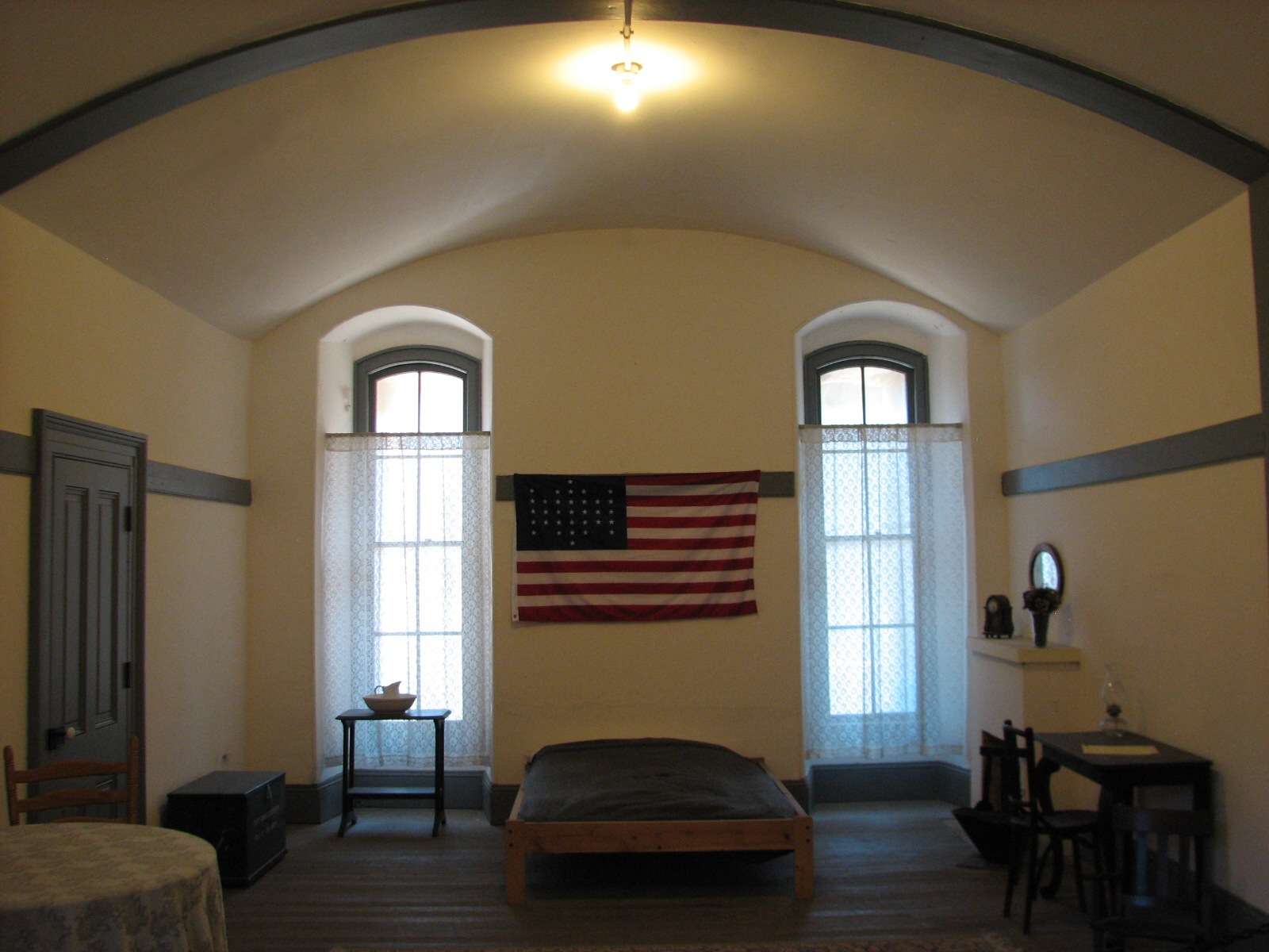
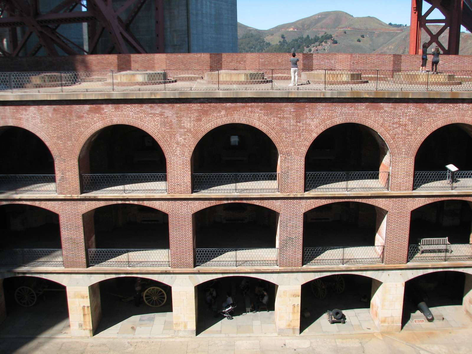
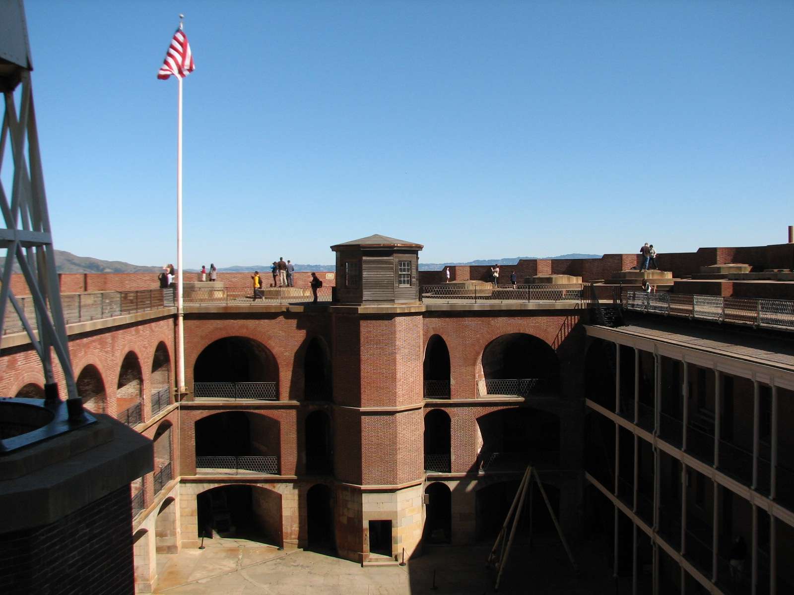
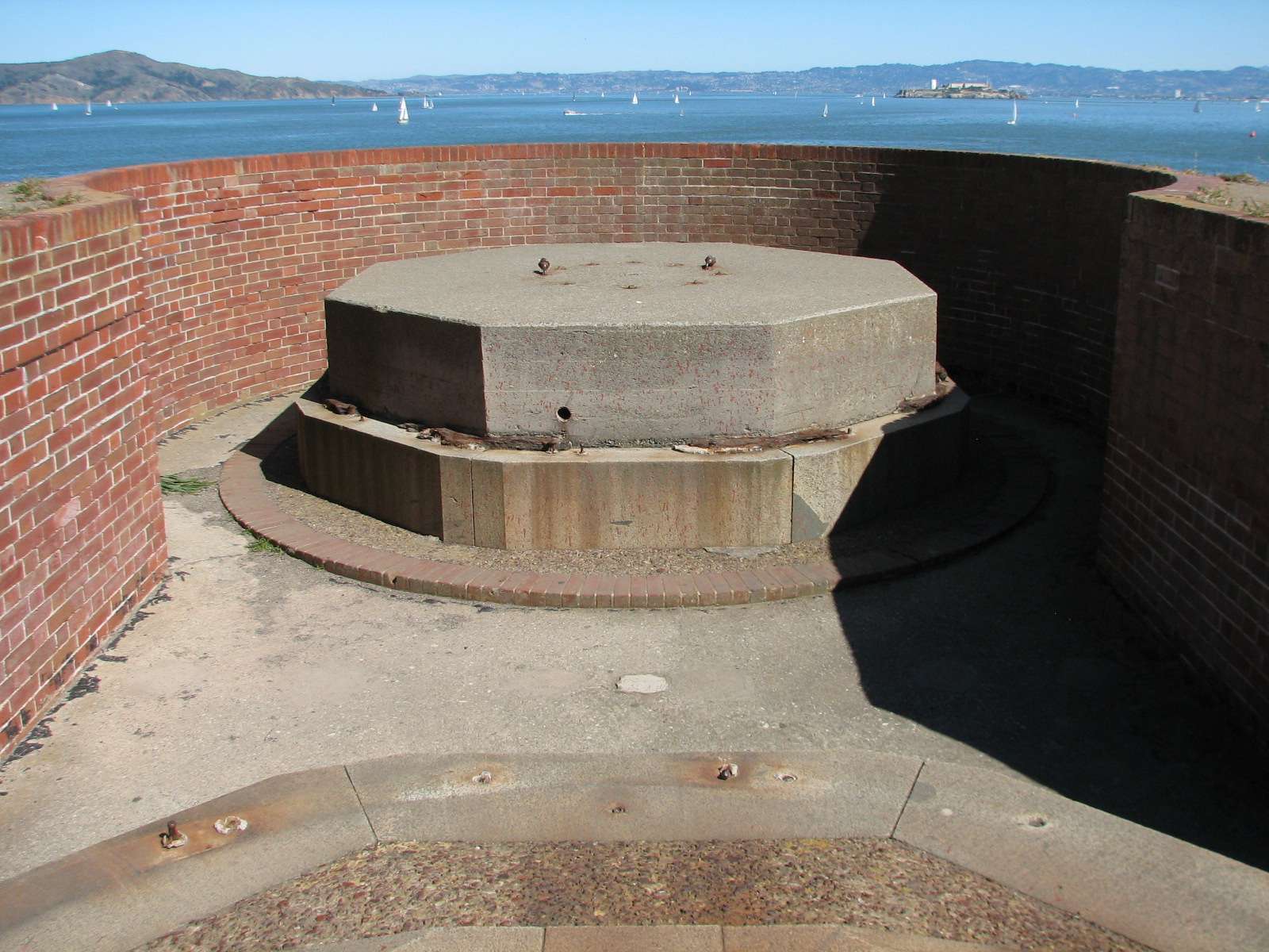
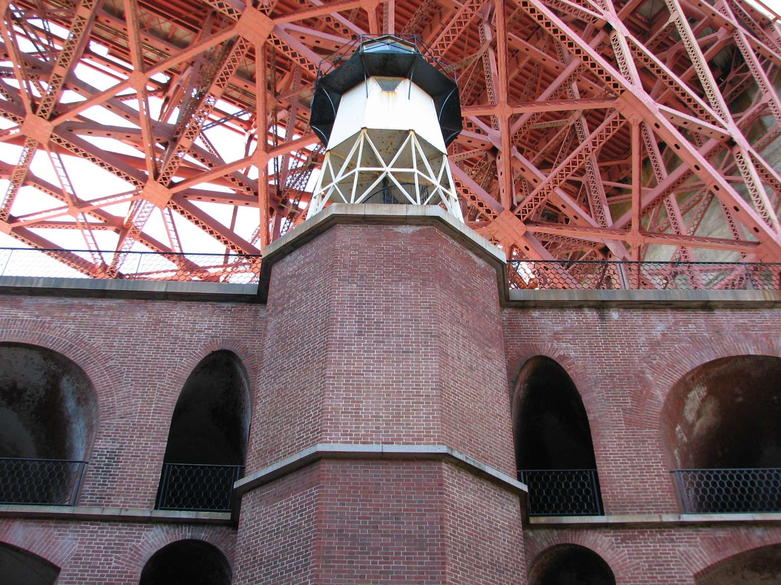
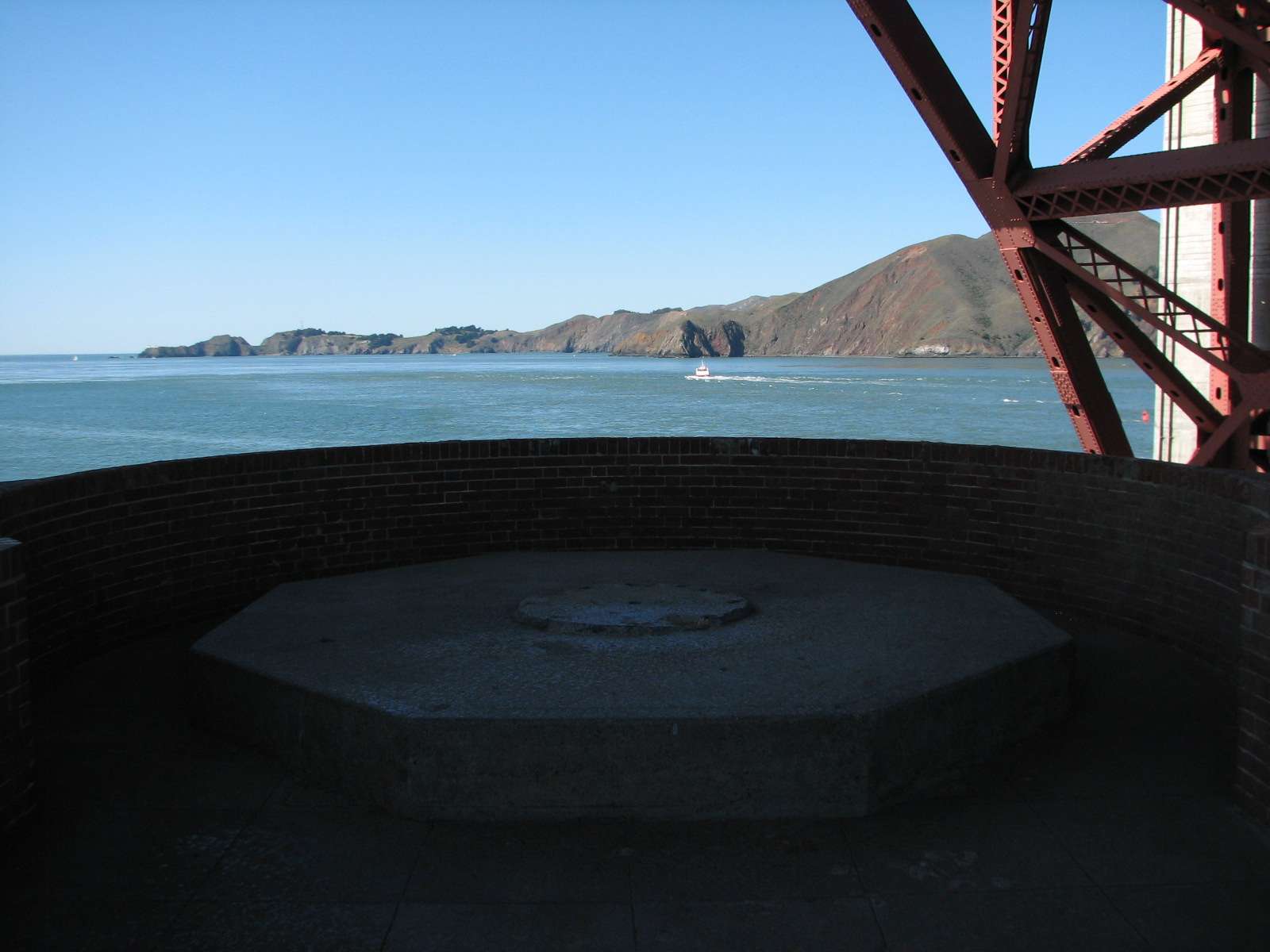
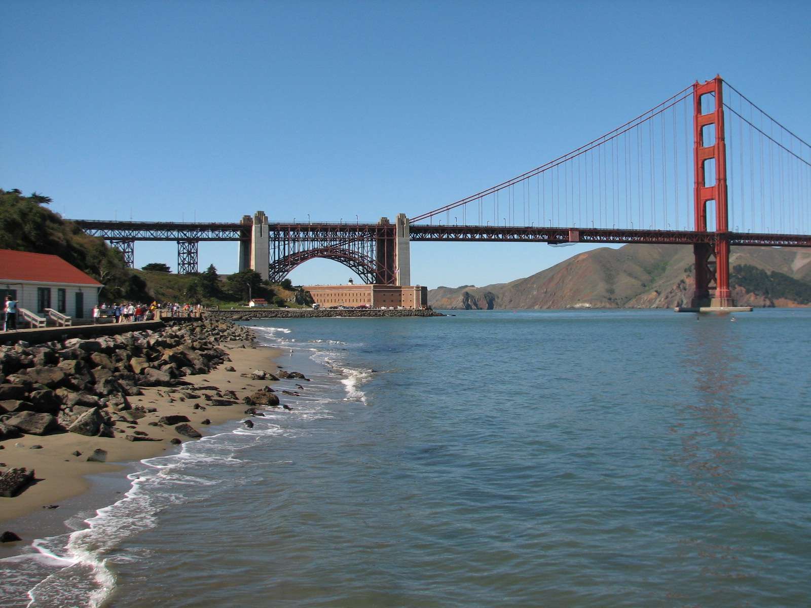
Fort Point National Historic Site:
Located where the San Francisco Bay meets the Pacific Ocean, this historic fort was finished in 1861 just before the U.S. Civil War. It was about 70 years before the Golden Gate Bridge was built with its large approach arch that spans over the fort, diminishing its scale.

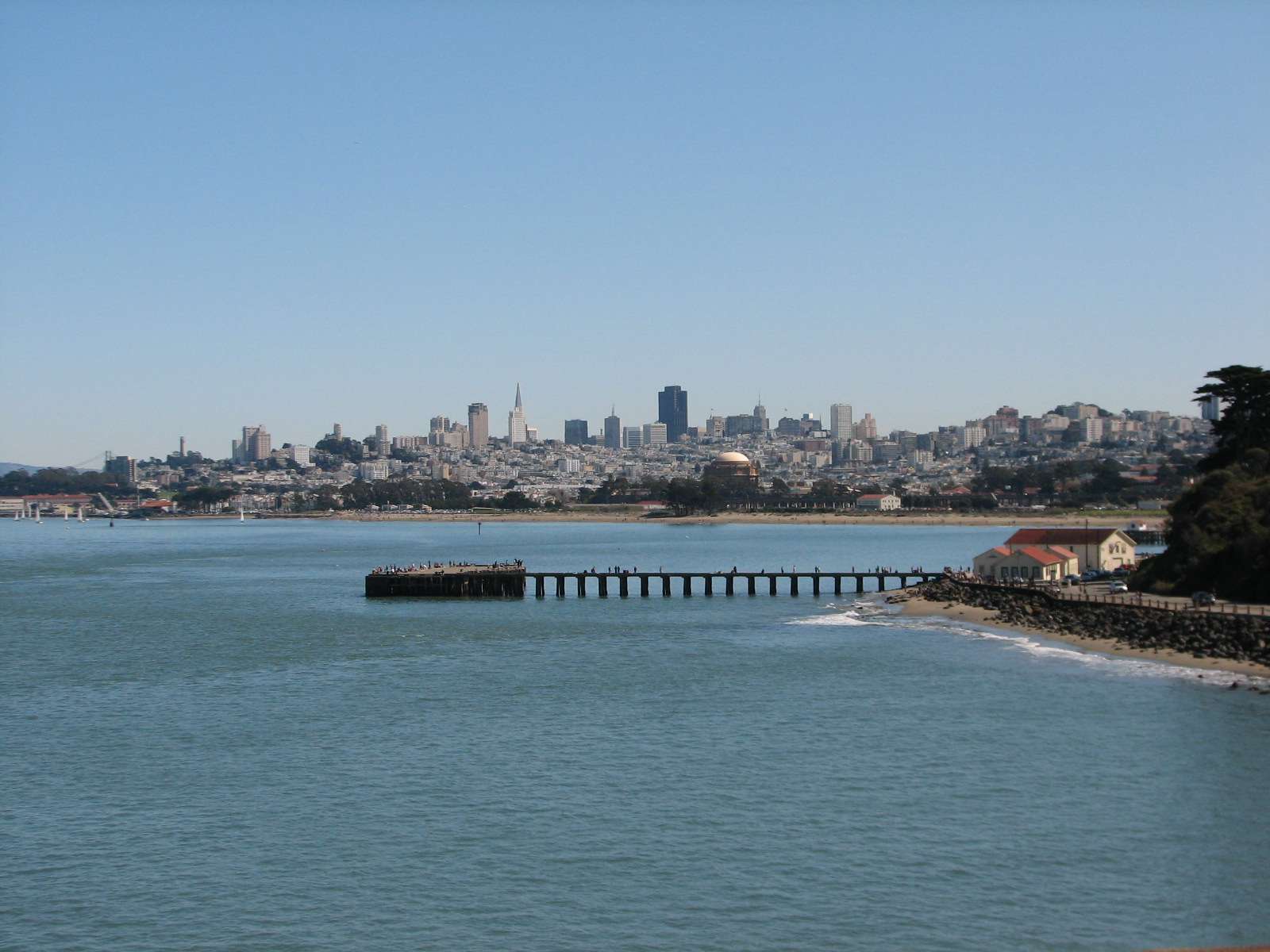
View of San Francisco from Fort Point:
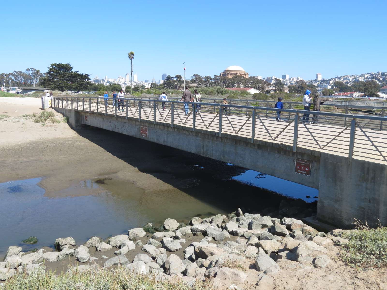
Bay coastline:
West Bluff Picnic Area:
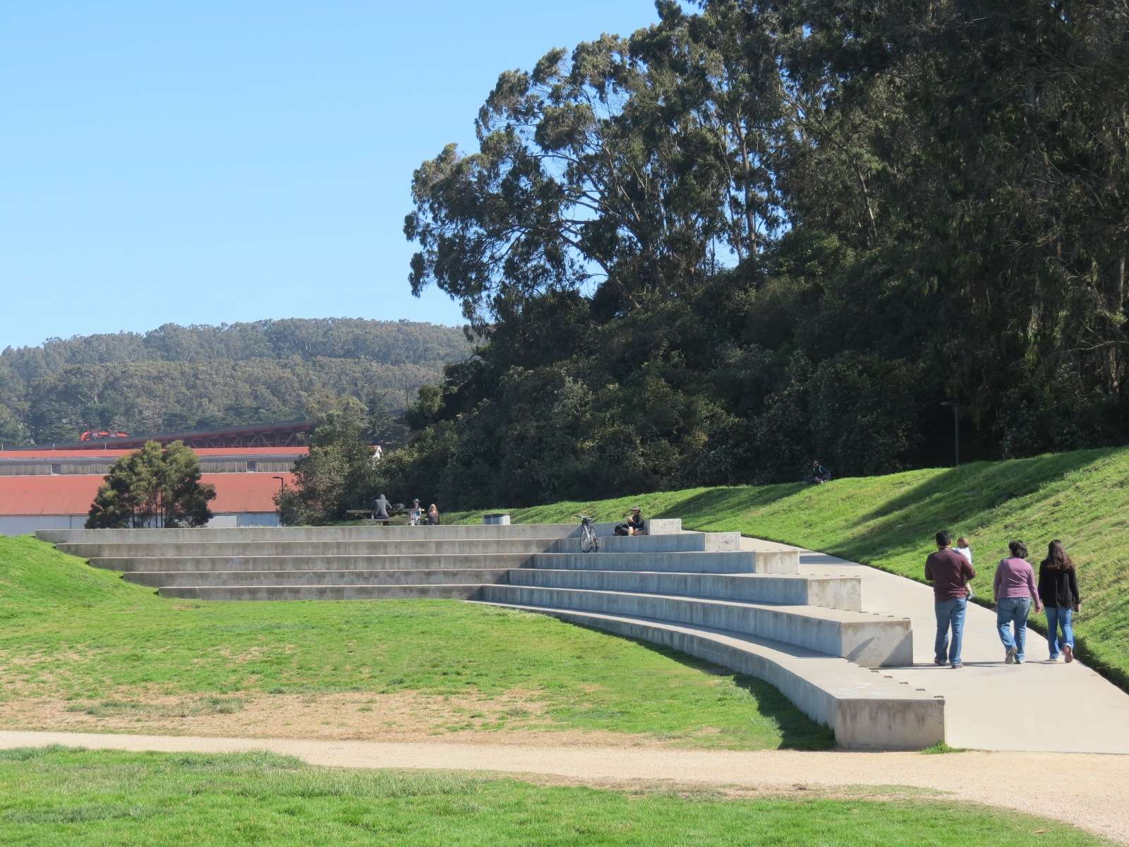
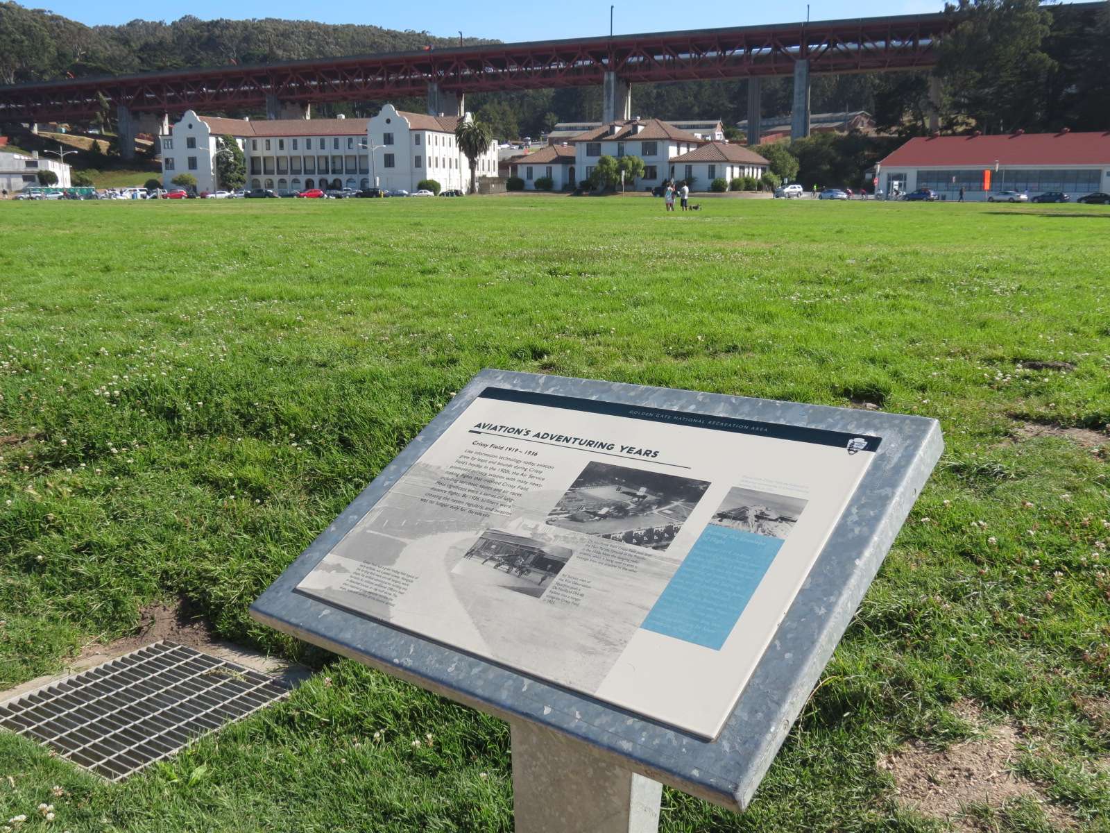
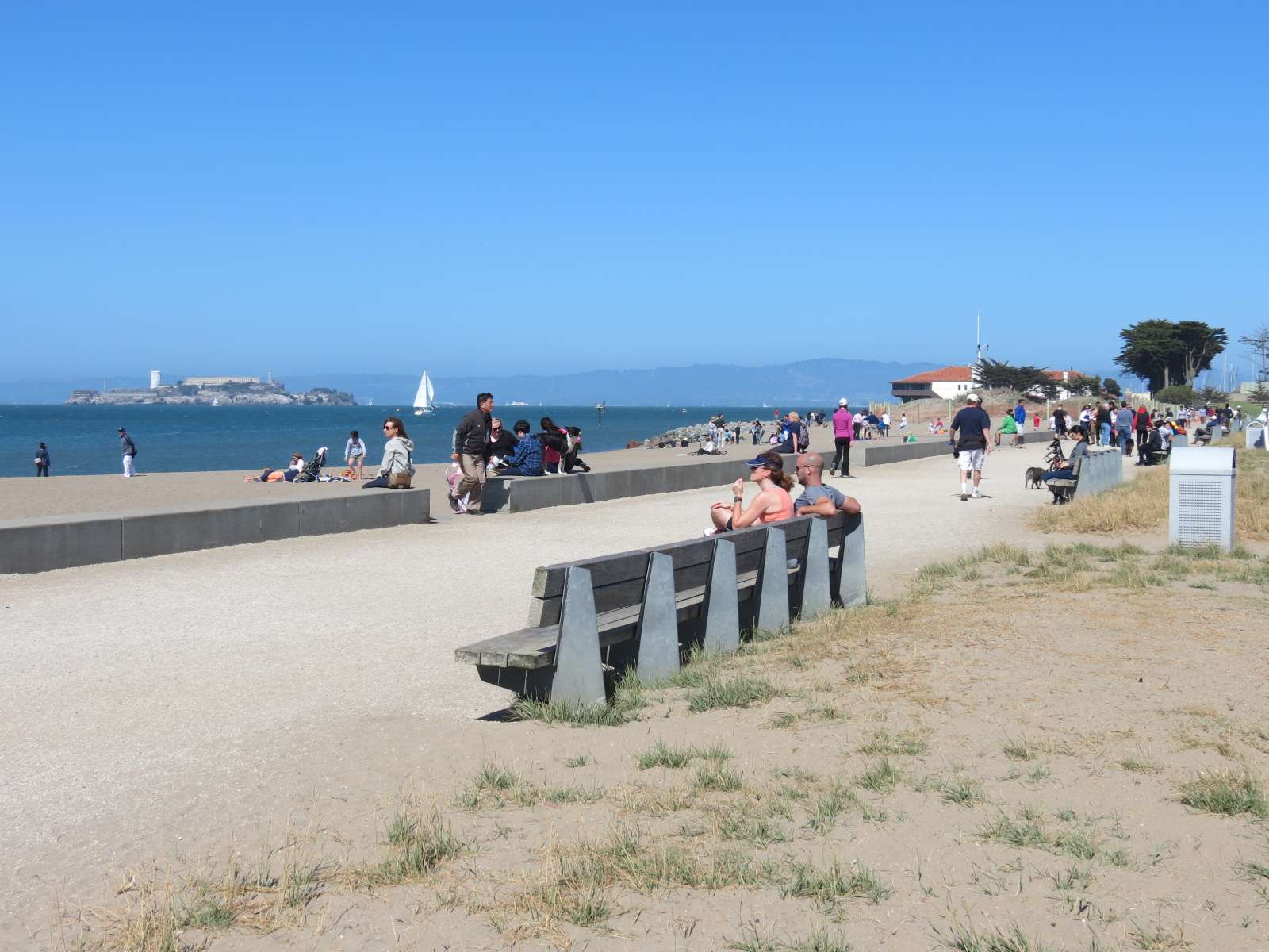
Crissy Field Overlook:
This viewpoint looks down on most of the San Francisco Bay coastline that forms the Presidio's Northern boundary. Crissy Field is the large flat landscape that dominates this area, a modern rehabilitation designed by Hargreaves Associates to provide greater recreational facilities in an area of an historic former military airfield.

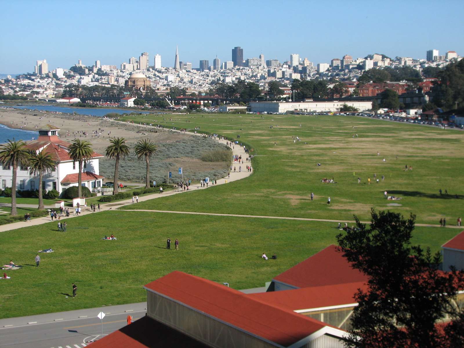
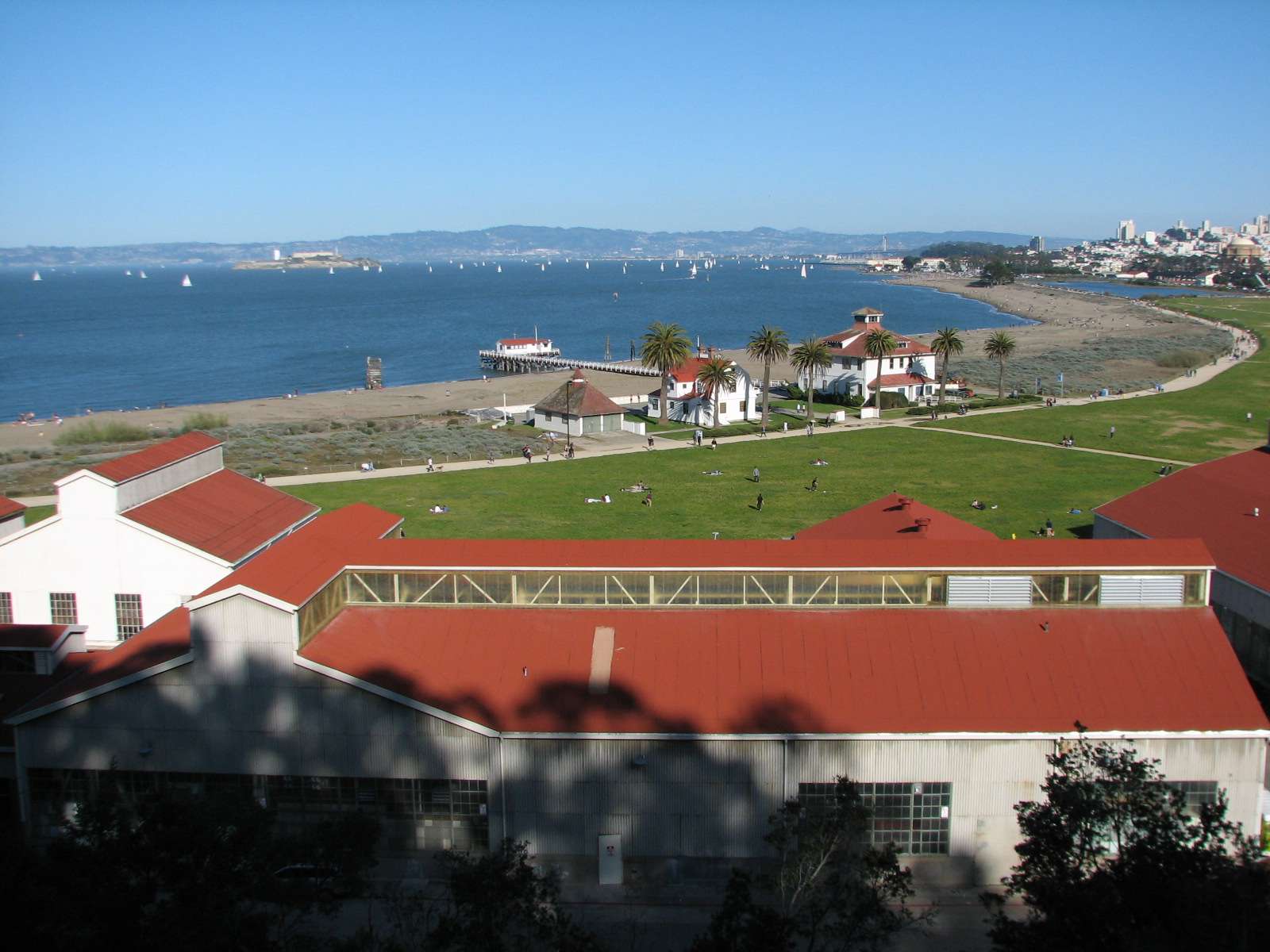

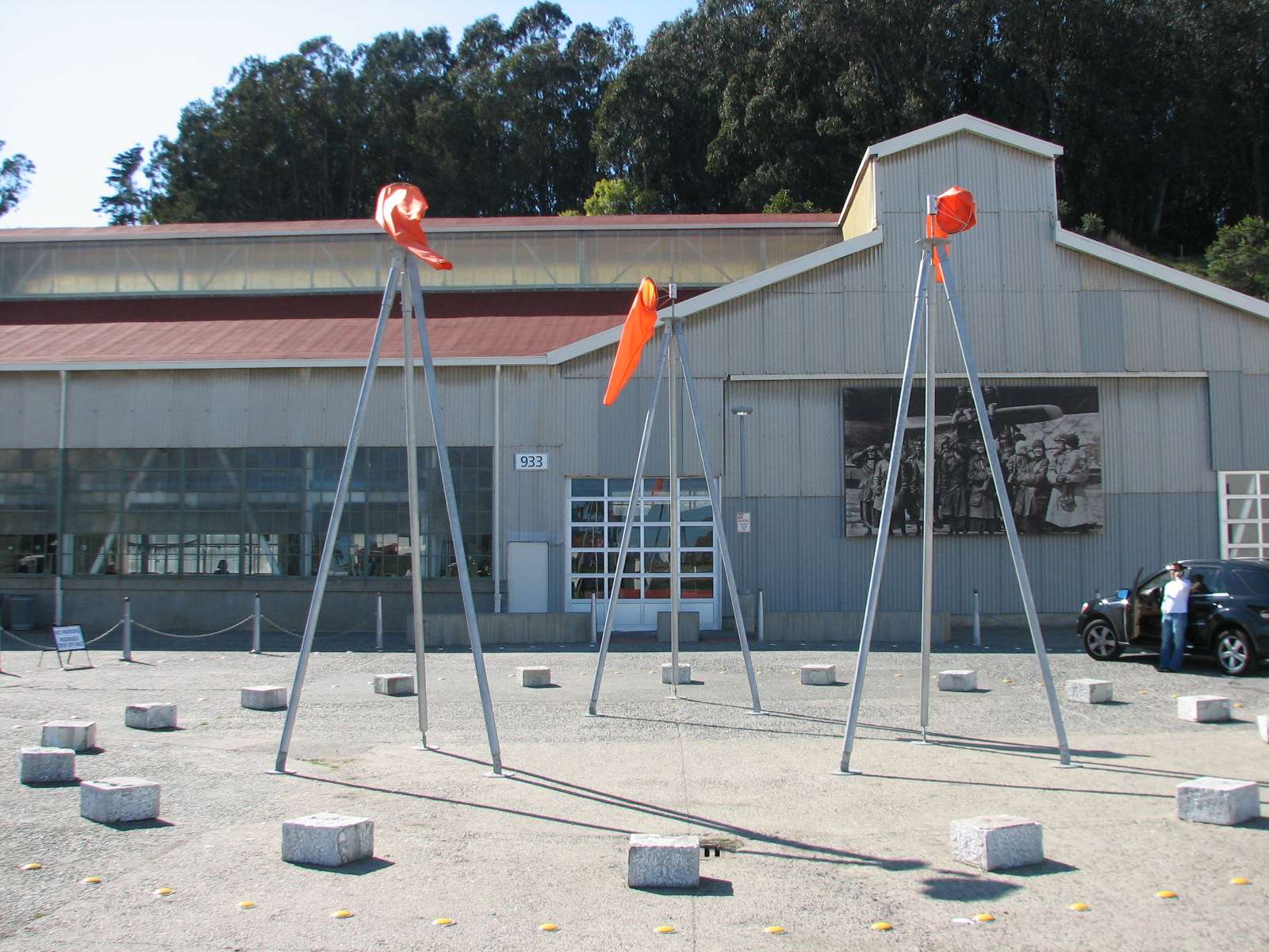
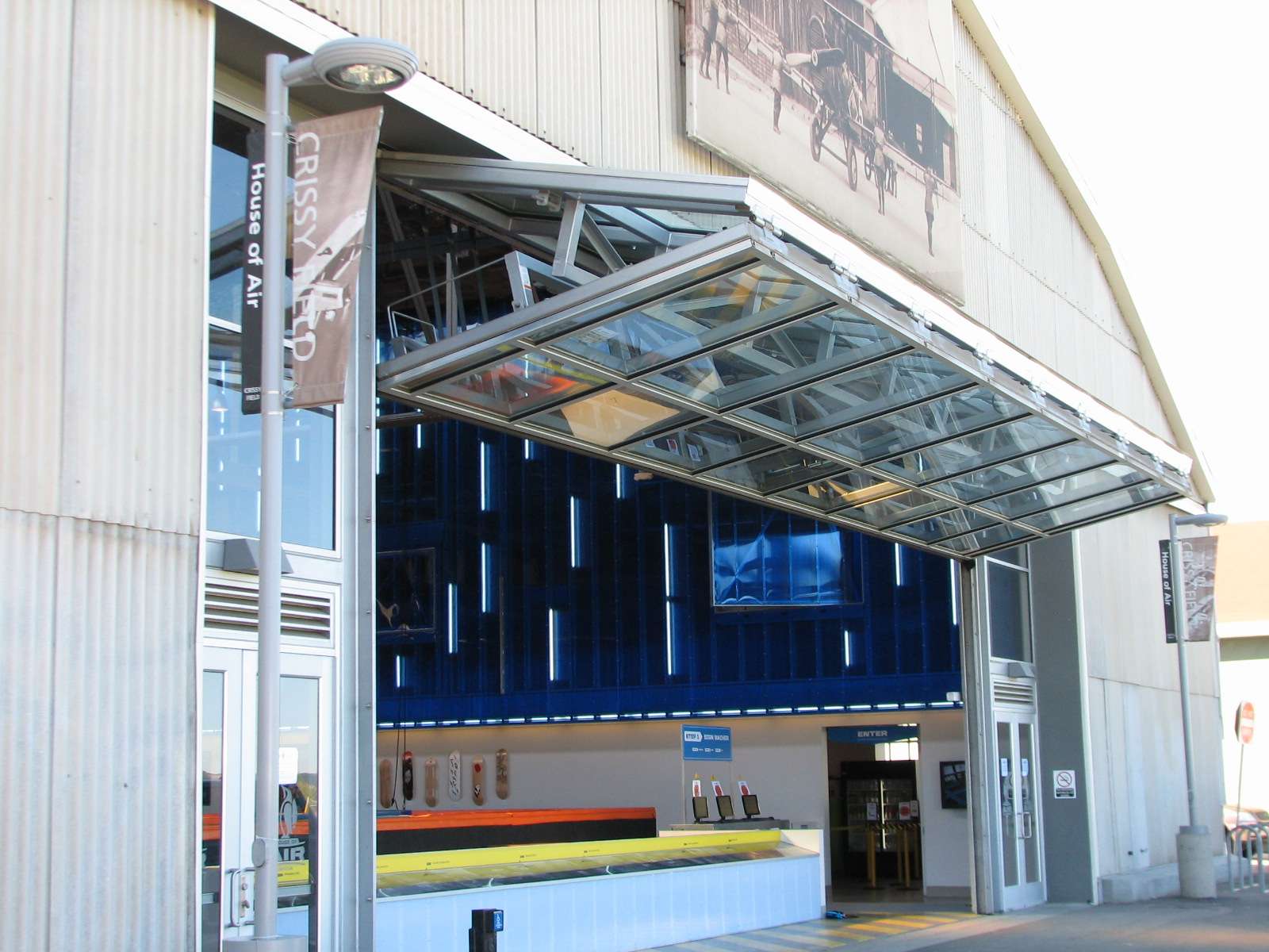
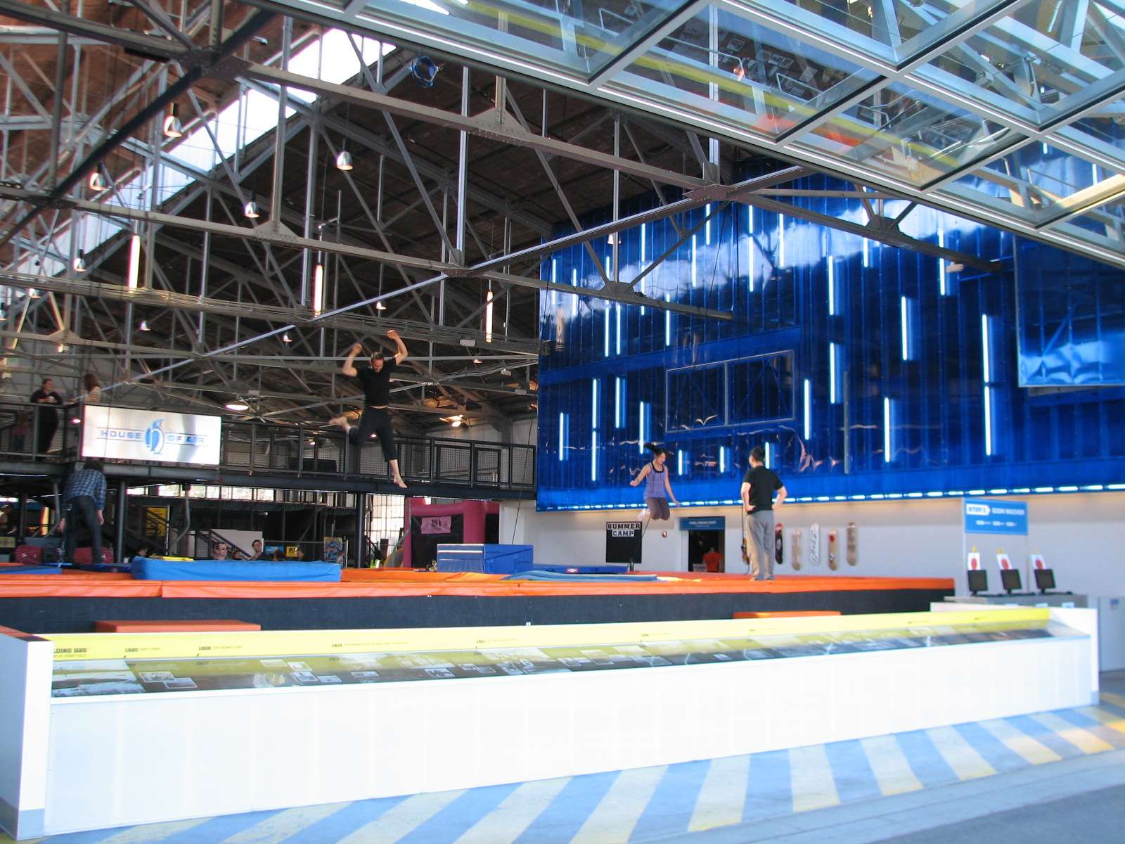
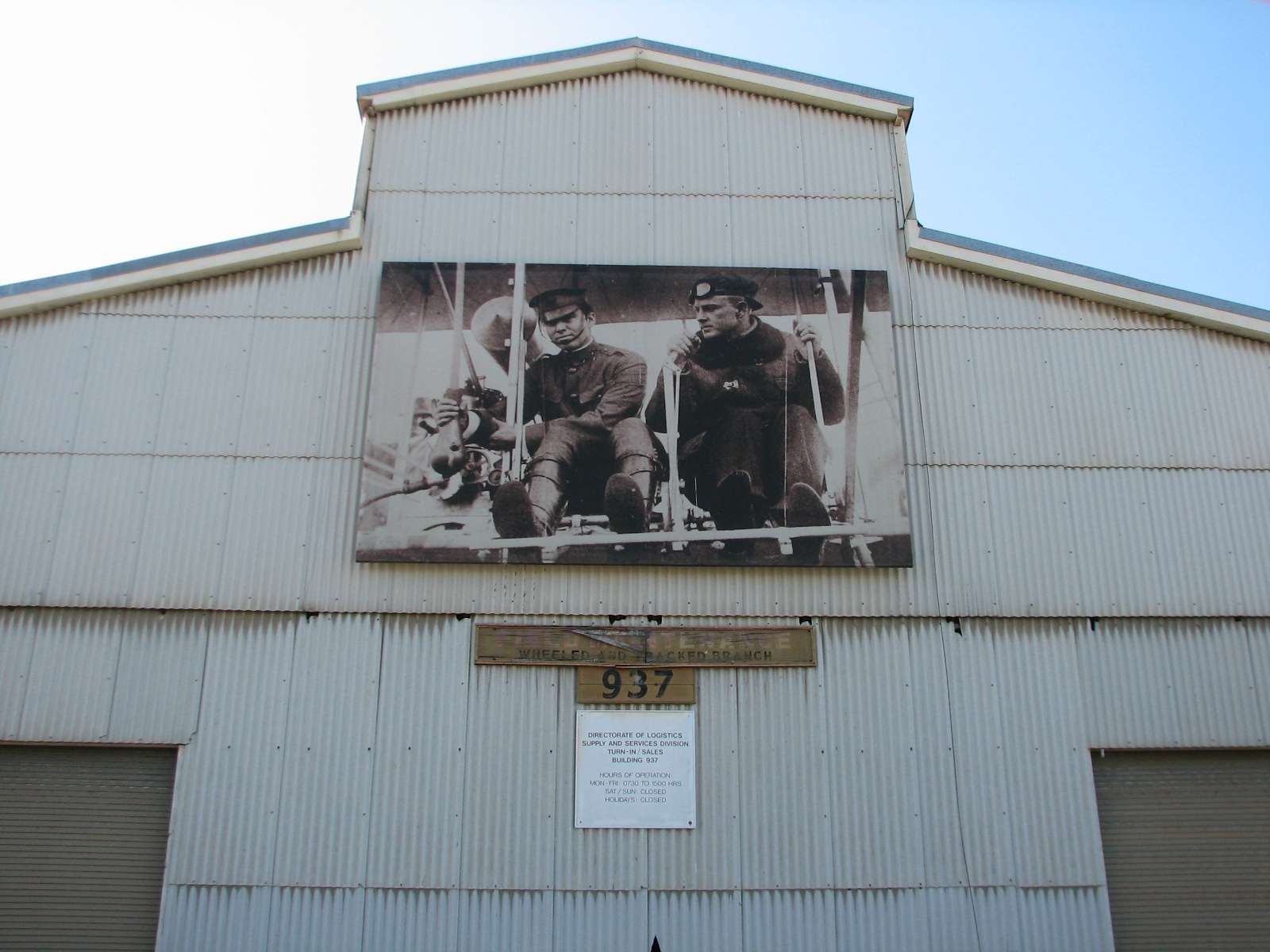
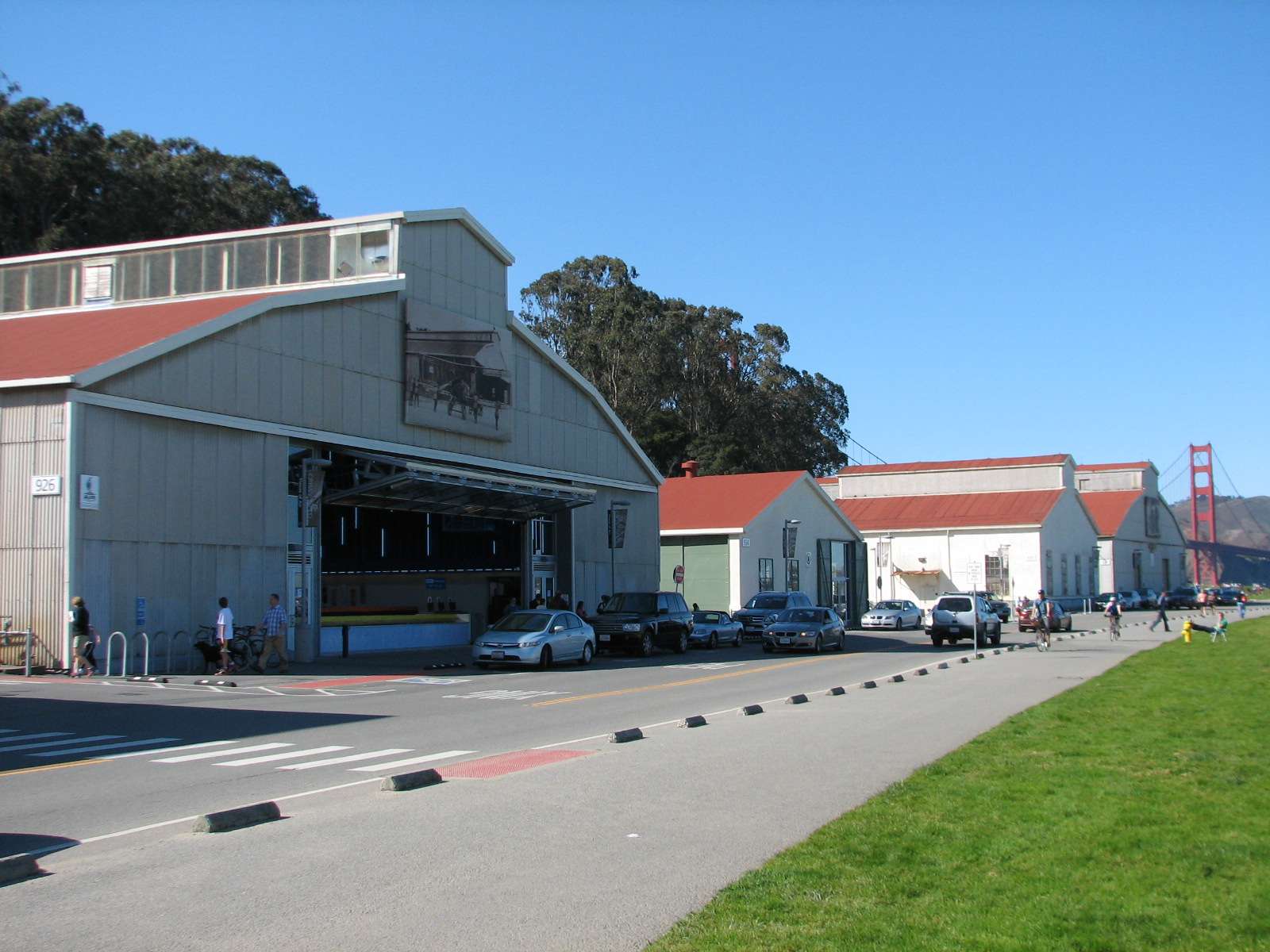
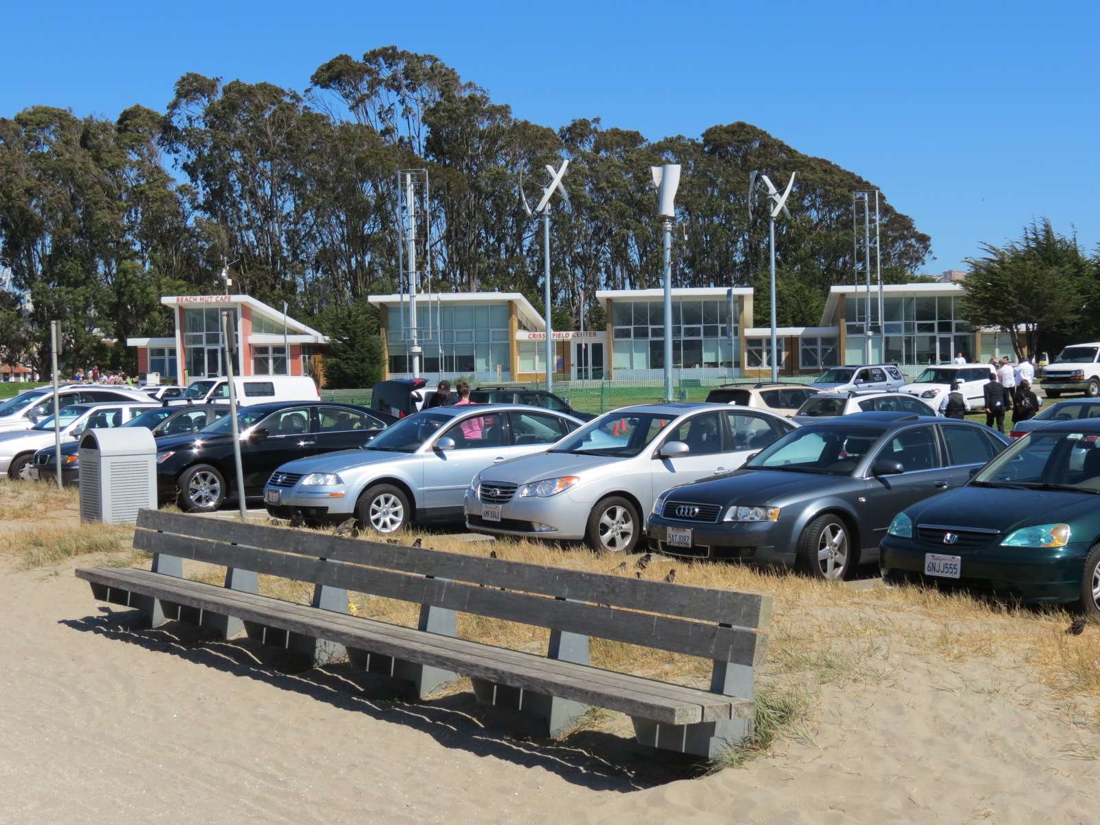
Crissy Field Buildings:
Many of the historic aviation buildings that line the interior edge of the field have been adapted for new recreational uses, including a trampoline center, indoor swimming pool, and indoor rockclimbing walls.


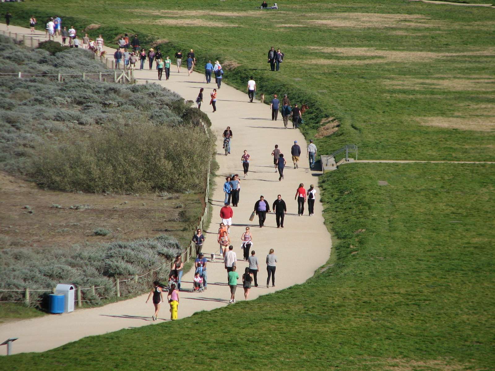
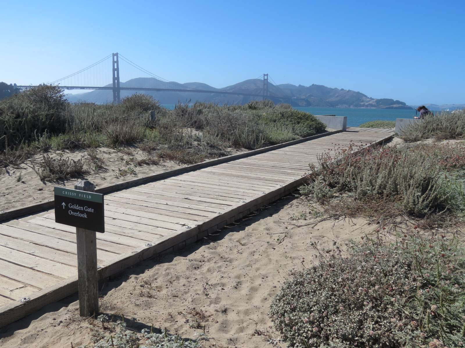
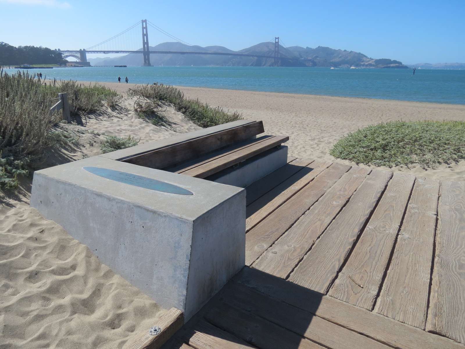
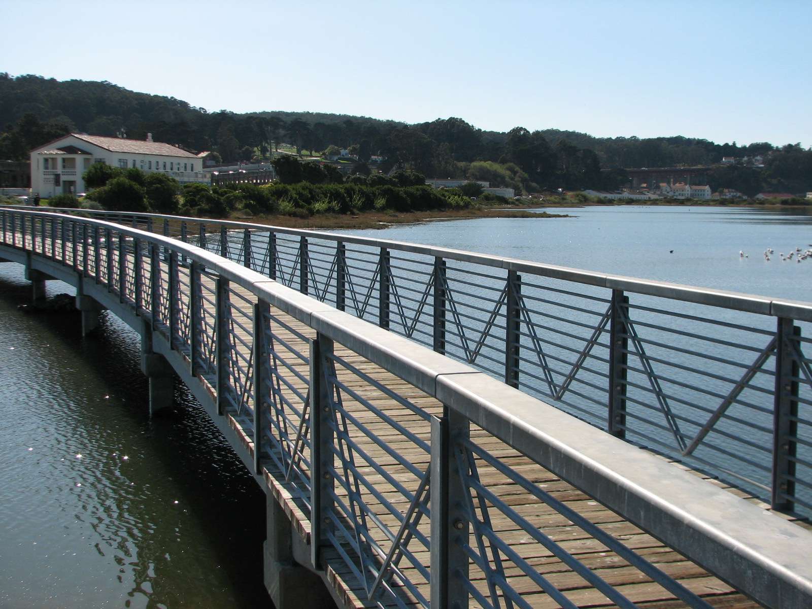
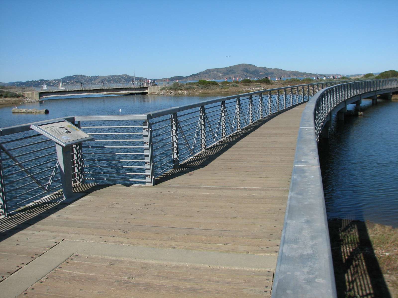
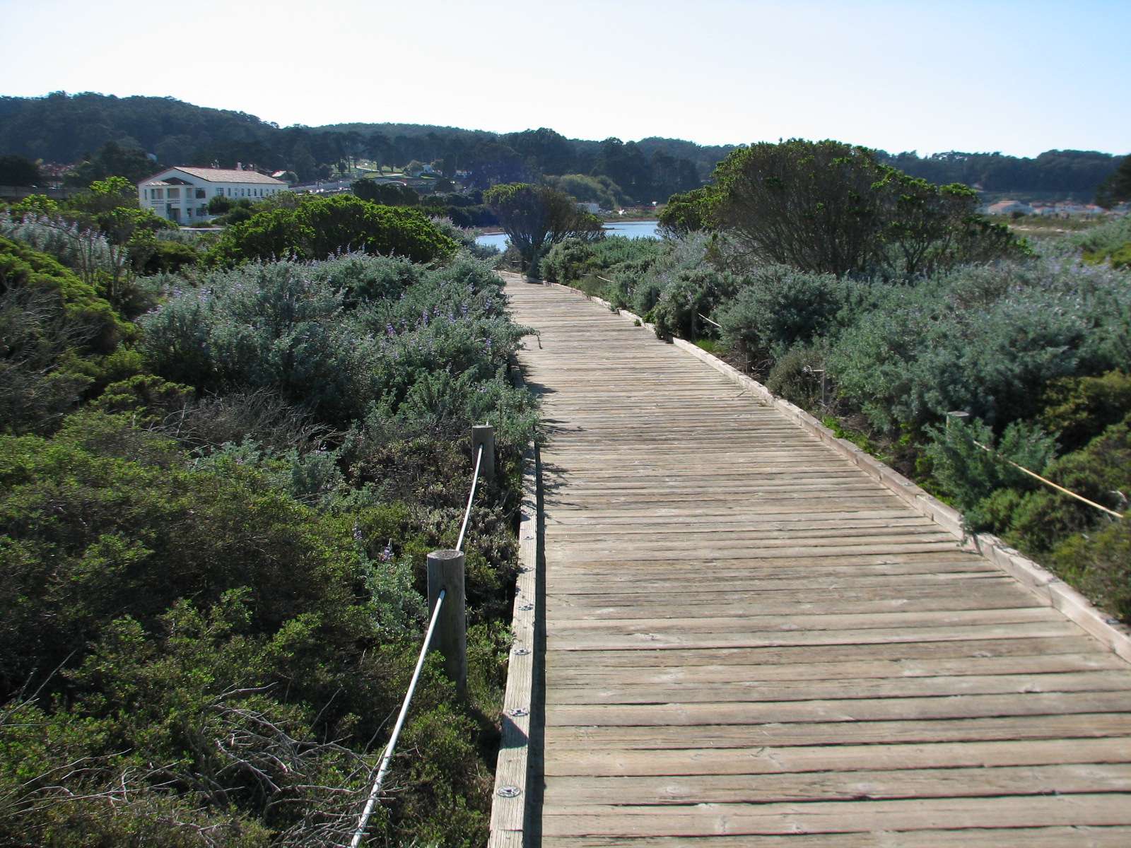
Golden Gate Promenade and Crissy Field Marsh:
A very popular trail runs along Crissy Field and the beach facing the bay, and leads to a restored marsh surrounded by native plants.


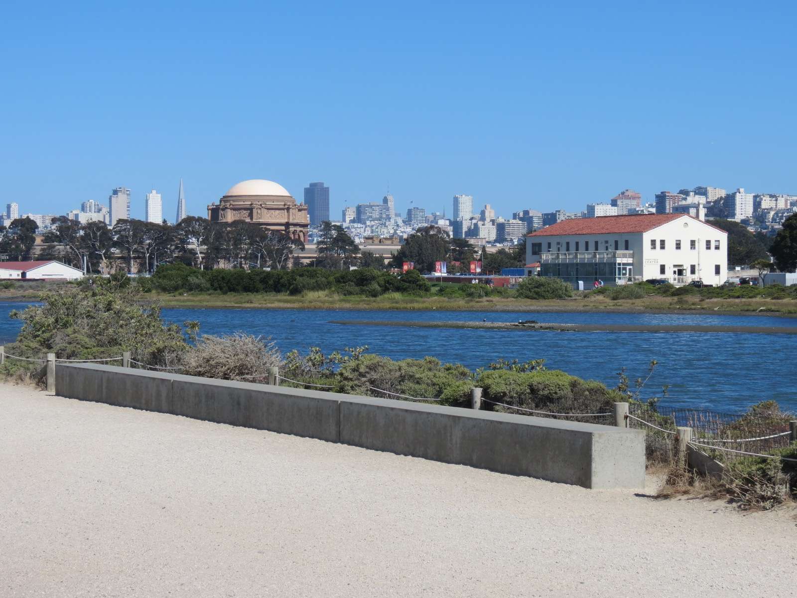
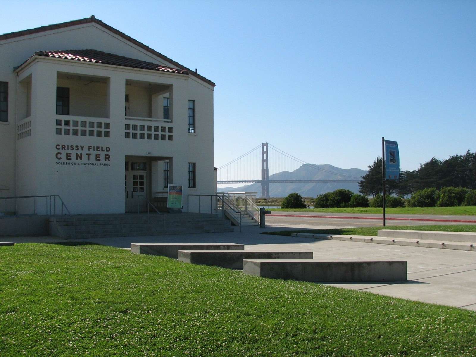

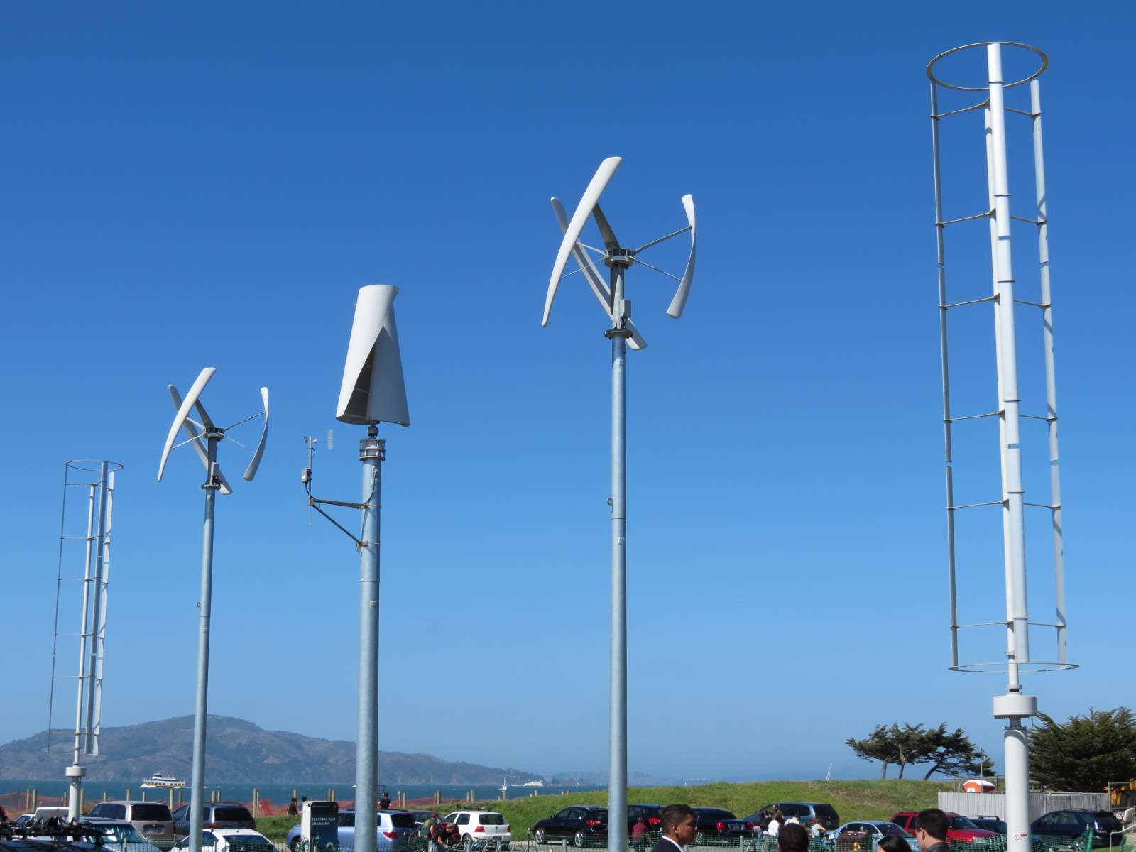
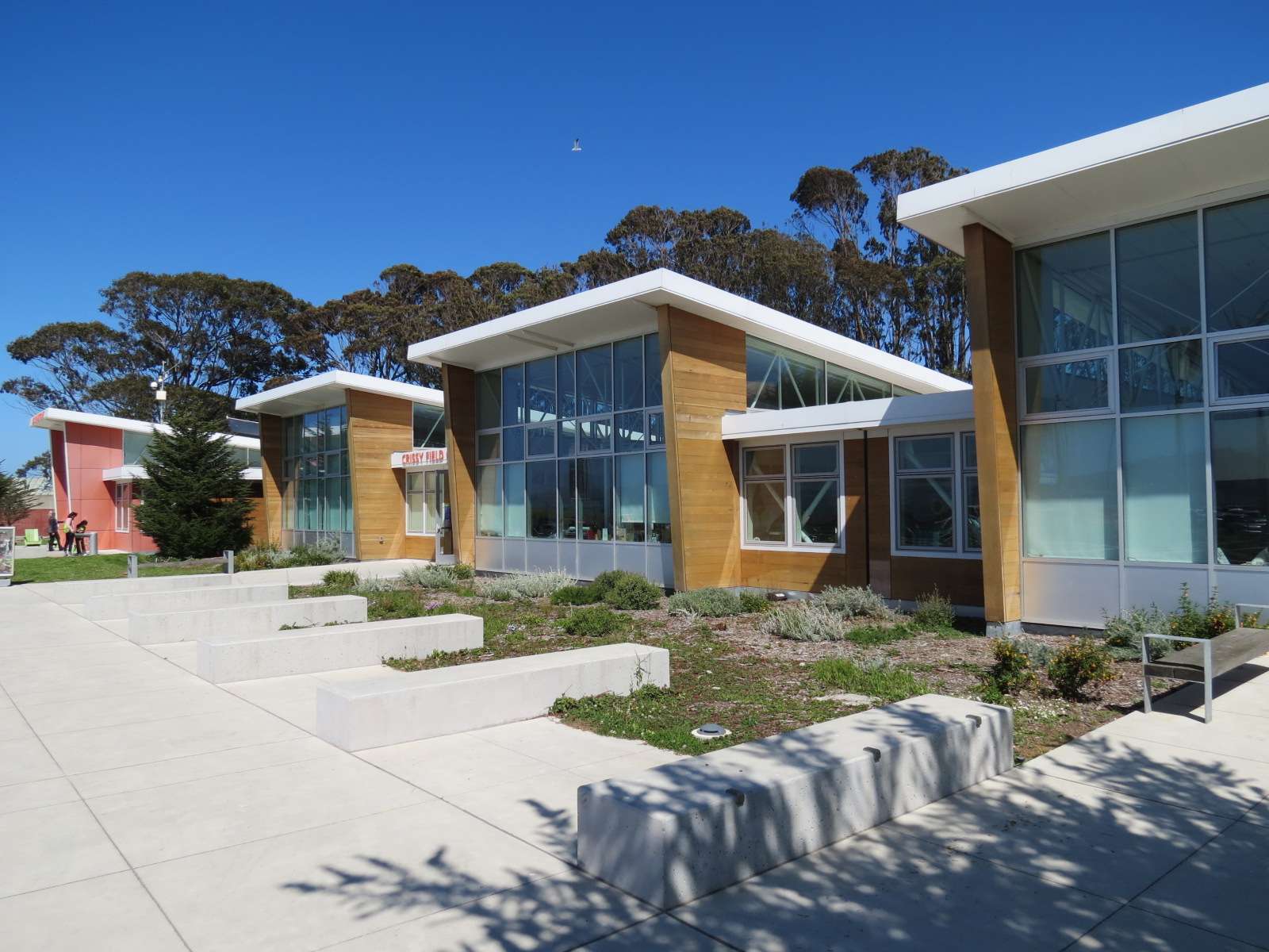
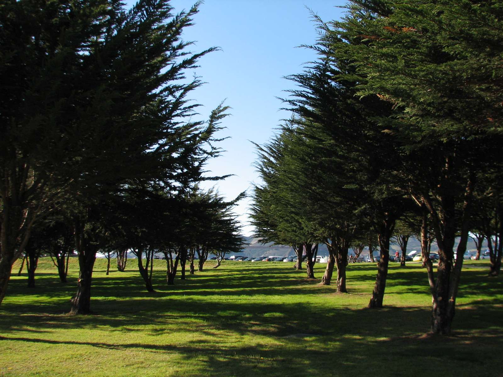
Crissy Field Center:
At the Eastern end of Crissy Field (and the last stretch of the Presidio's bay coastline before the adjoining Marina neighborhood is entered) is this cafe and education center next to a grassy picnic area and grove of young cypresses.


All photographs taken in 2012 (except a few from 2007-2011) by geomorph.