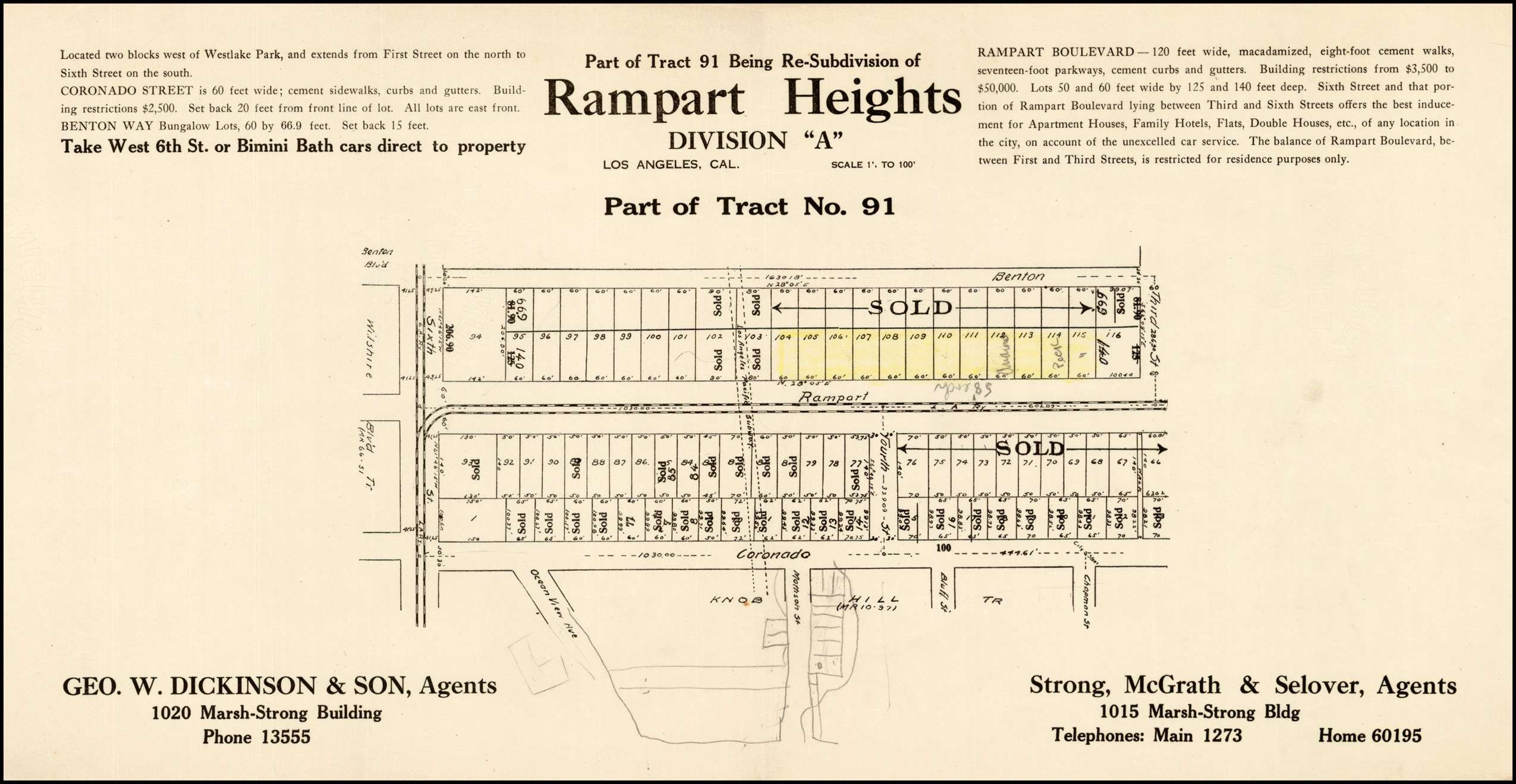
I wasn't aware of a subdivision named
Rampart Heights until I recently came across this at
http://www.raremaps.com/gallery/detail/30145?view=print
(I tried to reduce this, 'imageshack' thought otherwise)

 http://www.merriam-webster.com/dictionary/macadamize
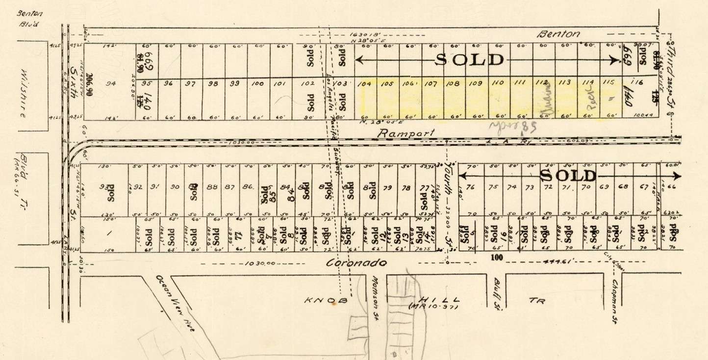
below: Slicing through the tract at a slight diagonal is the '
Los Angeles Pacific Subway'.
Was this a legitimate proposal for a subway line linking downtown to the pacific or just a 'pipe dream' of the developers?
Notice the area at the bottom labeled, of all things, 'Knob Hill'. I think these developers were really reaching.
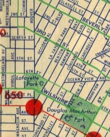
below: The Rampart Heights area from a section of my 1947 map (north of Westlake Park/MacArthur Park)
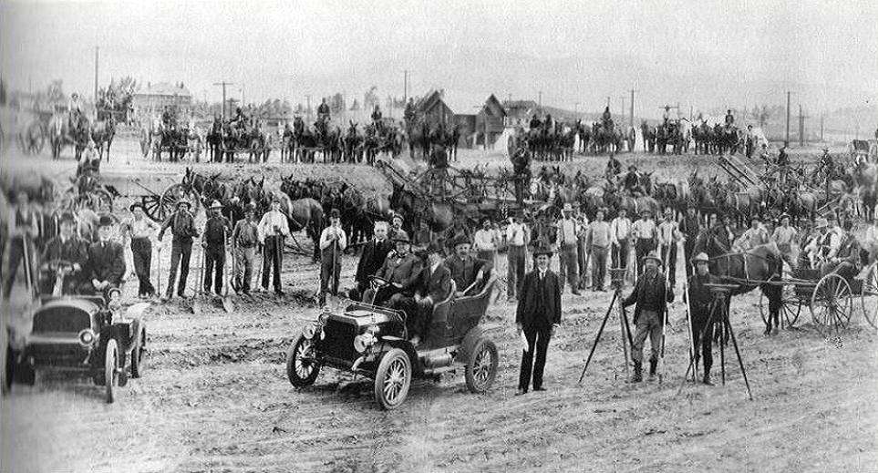
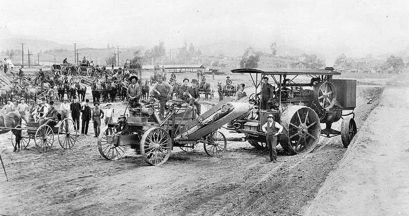
below: Crew working near 3rd Street in Rampart Heights 1905. It looks like the surrounding area is already developed.
 http://remap.ucla.edu/research/cultu...8-remapping-la
 http://remap.ucla.edu/research/cultu...8-remapping-la
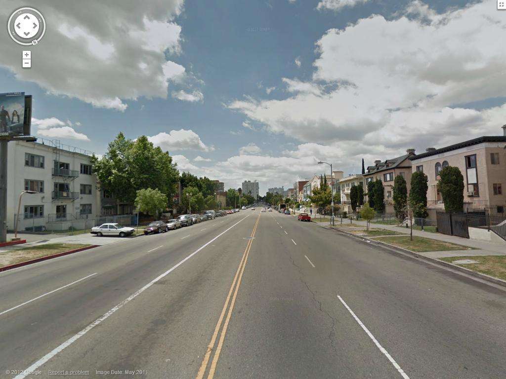
below: I am actually surprised by how wide Rampart Boulevard is in this google street view. I see developers took full advantage of the larger lots to build many apartment buildings.
google street view