Townsend is a community in Haldimand County, and is located about 30 minutes south of Hamilton. The population is around 1,500.
Townsend is notable for being a centrally-planned community for up to 100,000 people, that never reached expectations. It is also notable is somewhat of a modern-day ghost town, based on the visions for the communtity.
Founded in 1970, the plan was to have the community become the center for growth for the Toronto metro area. Toronto was already growing past the Municipality of Metropolitan Toronto, which had recently split from York County and was associated with the City of Toronto. Regional Municipalities were set up in the Golden Horsehoe area as "mini metros" where growth from Toronto could be concentrated, in an effort to contain sprawl.
The Province of Ontario bought thousands of acres of land in Haldimand County to build Townsend, with the intention of placing the new regional municipality's seat here. Residents would work at the Nanticoke Industrial Park, which contained an oil refinery, steel mill, and coal power plant.
However, people who came to work in the industrial park ended up mainly moving into established communities like Jarvis and Simcoe, and Townsend never grew beyond its original core. The plan for a large, modern city was abandoned, and much of the farmland was sold back to farmers. Today, Townsend is a thriving community, but is small and in a rural area, like many of the other nearby communities.
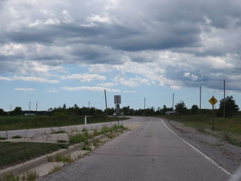
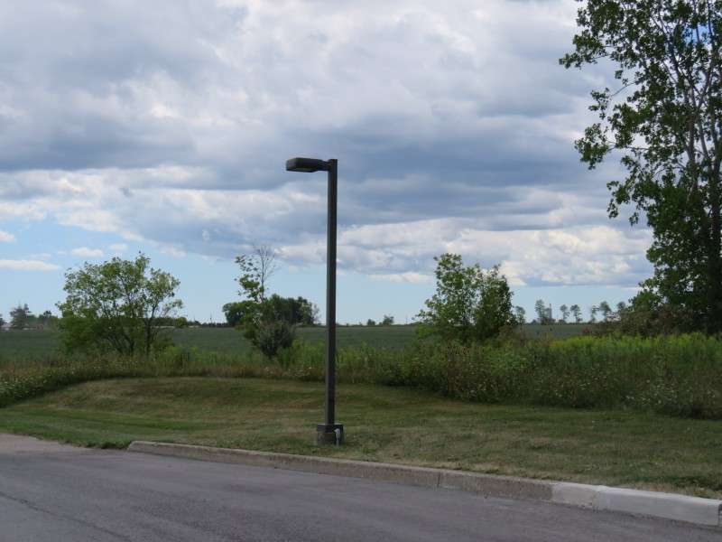
Keith Richardson Parkway is a four-lane highway that appears out of the farmland as a country road nears the community.
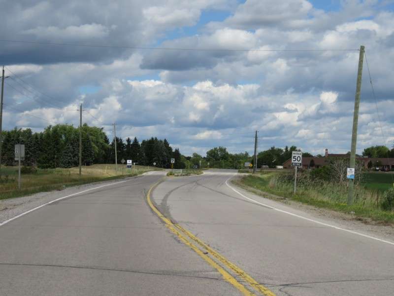
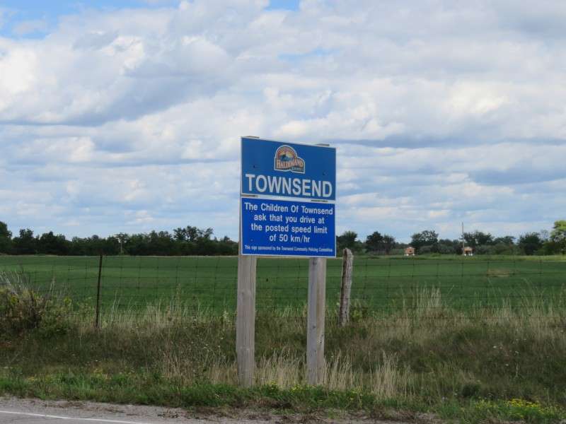
The community is marked with official road signs, which bear the insignia of Haldimand County. Unique to Townsend are signs stating that the local children ask you to obey the speed limit.
The road widens because of the planned population of the community, which never really arrived. To date, the four-lane highway is little-used and unnecessary.

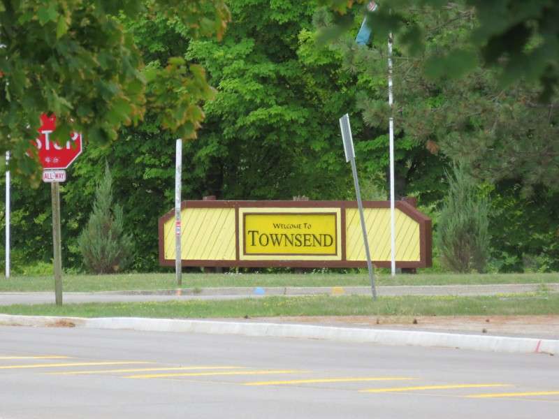
At the main intersection in the community, at Townsend & Nanticoke Creek Parkways, is a welcome sign for Townsend.
An assisted-living center on Town Centre Drive.

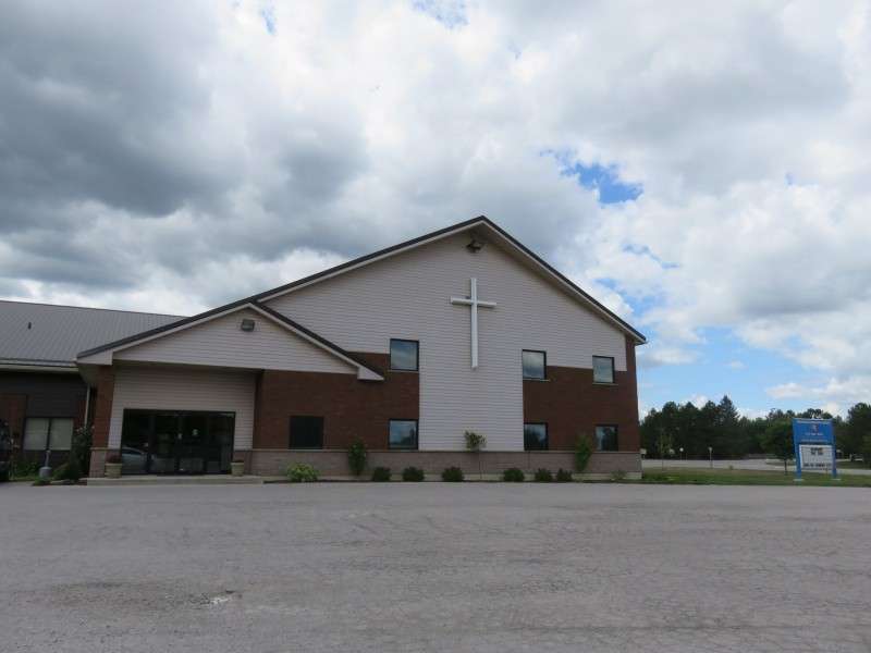
Townsend Community Church, on Nanticoke Creek Parkway.
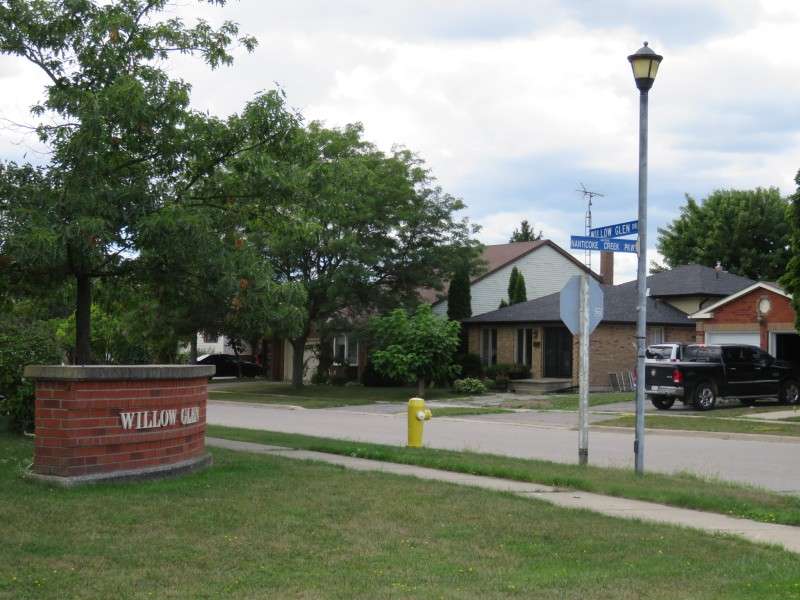
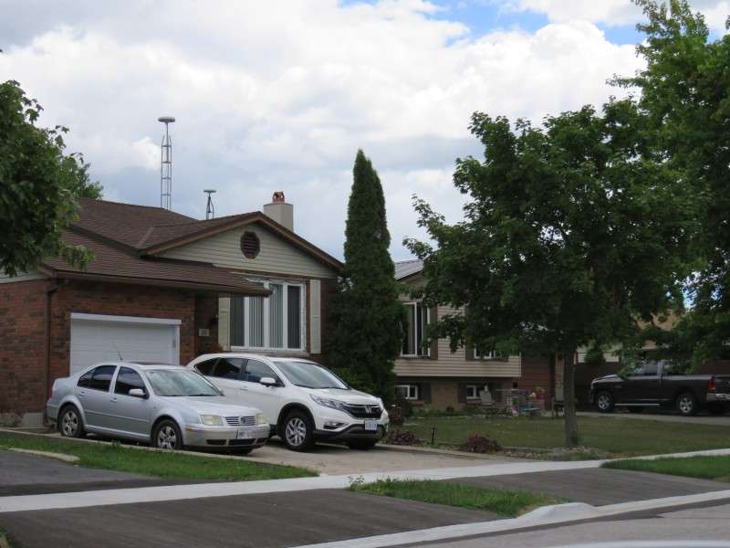
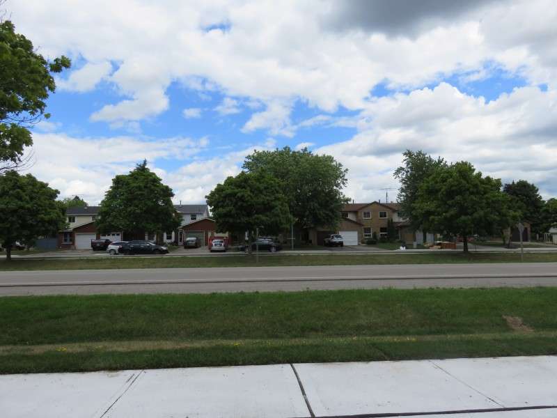
Houses on Willow Glen Drive.
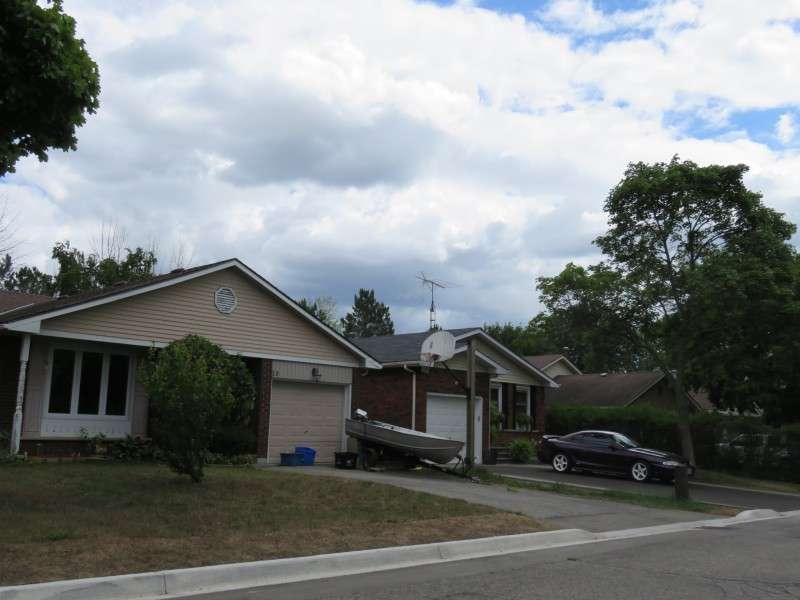
Houses on Arbour Drive.
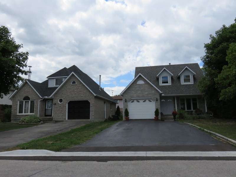
Houses on Elmvale Court.
Some existing roads were used in Townsend. Concession 13 Townsend, in the distance, becomes Stone Quarry Road when it enters Townsend. The old country road gains sidewalks and has improved paving when it reaches the residential area.

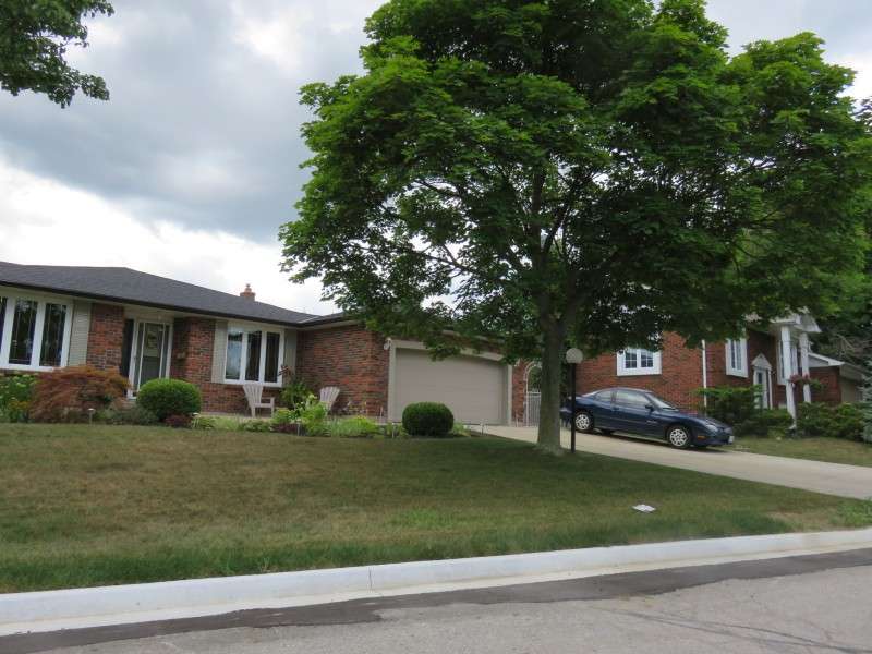
Houses on Edenridge Drive.
Houses on Burnham Woods.
At the western end of Nanticoke Creek Parkway is a sign for Riverwood Terrace, a proposed townhouse development.

Work for Riverwood Terrace was being prepared in 2012, but stalled, and now the land is reverting back to a natural state.

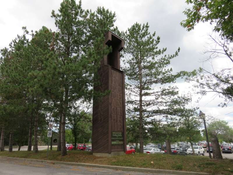
A stantion marks the entrance to the village center, which is not much more than two buildings nowadays.
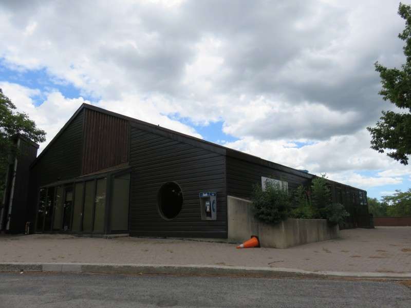
A health center on Nanticoke Parkway. This was one of a couple extant buildings meant to service the community as it grew.
A children's health center, on Nanticoke Creek Parkway.
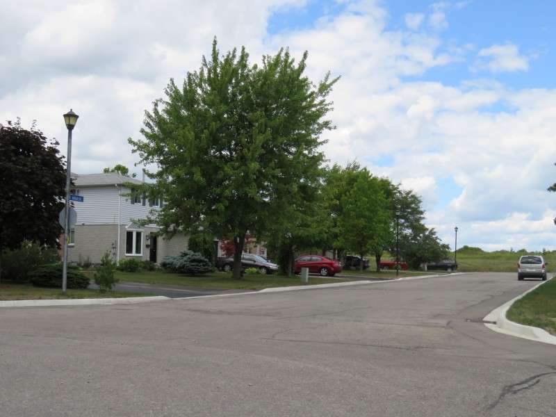
Parkland in the middle of Townsend, from Ravine Crescent.

Loooking across Townsend Parkway at houses on Elmvale Court, from Ravine Crescent.
Houses on Ravine Crescent.
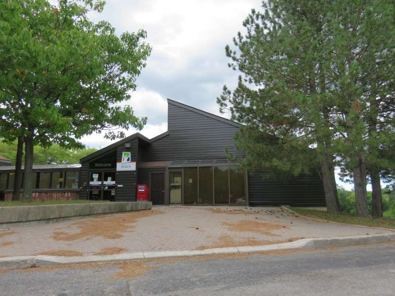
The Children's Aid Service, on Town Centre Drive. The structure was originally planned to be Regional Municipality headquarters, and was built in 1982.
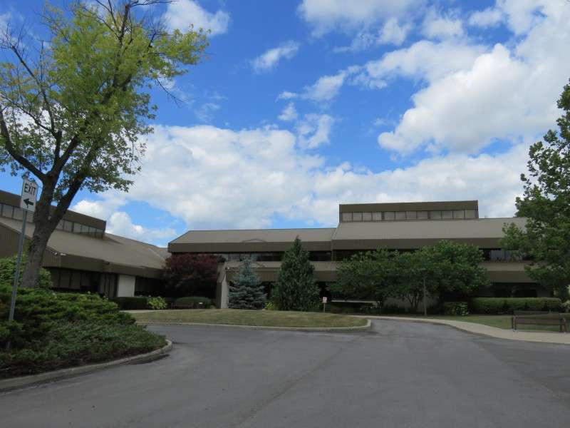
The parking lot of the Children's Aid Service shows how the suburban town abruptly ends, and the farmland surrounding the community on all sides begins again.
As you leave Townsend to the south, Keith Richardson Parkway goes from a highway to a typical two-lane road.