Quote:
Originally Posted by KHOOLE

I like it.
To get anywhere from anywhere is what it should be.
I least someone is thinking ahead.
Here's a few thoughts, for what they are worth:
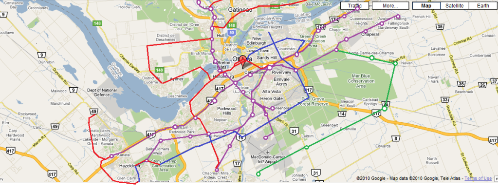
1. no direct link between the train and the airport
2. bus station/police station not easily accessible
3. will the LRT go to Gatineau Airport (emergency/secondary airline landing)
4. use of POW bridge for blue line shunt in off-peak times
(direct casino to airport route)
5. can we do better for a faster Congress Centre to Airport pathway?
6. a station directly at the Ottawa Civic Hospital
7. Ottawa General Hospital also needs a more direct access route. Sick people are the least mobile
No criticism. Just thinking out loud.
|
Those are all good points, and for the record I welcome criticism. I'll try to address your concerns here:
1. If Union becomes the main station again, there will be a direct link. If not, a merging of the Brockville and Hawkesbury Lines will make the link more direct.
2. Given the uncertain future of the current bus station, I tried not to tie any one station too closely too it.
3. I think that would certainly be a future possibility. I ended the line at Lorrain because I based the plan on current conditions described in civic documents. My specific source for that route is the Gatineau Rapibus plan.
4. Also a possibility given regional and light metro trains would have same track gauge.
5. I'd estimate the connection would already be pretty fast (20-25 minutes??). I tried not to privilege certain areas over others.
6. Melrose could certainly be moved further west.
7. I based that route on the City of Ottawa plans for the Hospital Link. I think their plans call for a station just north or northeast of CHEO but one option calls for bringing the route under the overpasses that connect the buildings and putting the station between CHEO and the General. So that could certainly be a possibility.
The one thing that would need some additional work on implementation is the potential for bottlenecks going through the Bayview-Hurdman section at rush hour. Assuming frequencies on each line similar to the Canada Line (every 6 minutes), that means a train would need to enter and exit the section at least every two minutes -which is the minimum allowable interval on a manually-operated system and would not allow room for error. For just 3 lines, this is manageable. However, this would also include the regional rail lines, which would end at Bayview if entering from Hurdman or Hurdman if entering from Bayview. The most likely, but a very costly solution would be to keep the Red Line in its own tunnel.


 Prev
Prev


 Linear Mode
