I had the chance to visit North Carolina's barrier islands, known as the Outer Banks or OBX, last week.
A bit of weird weather this past week. On Thursday there was a brief period of heavy snow flurries on the Outer Banks (it was 35f/1.6c). Then after I got back to Raleigh it was sleeting Saturday afternoon (it was surprisingly 48f/8.8c).
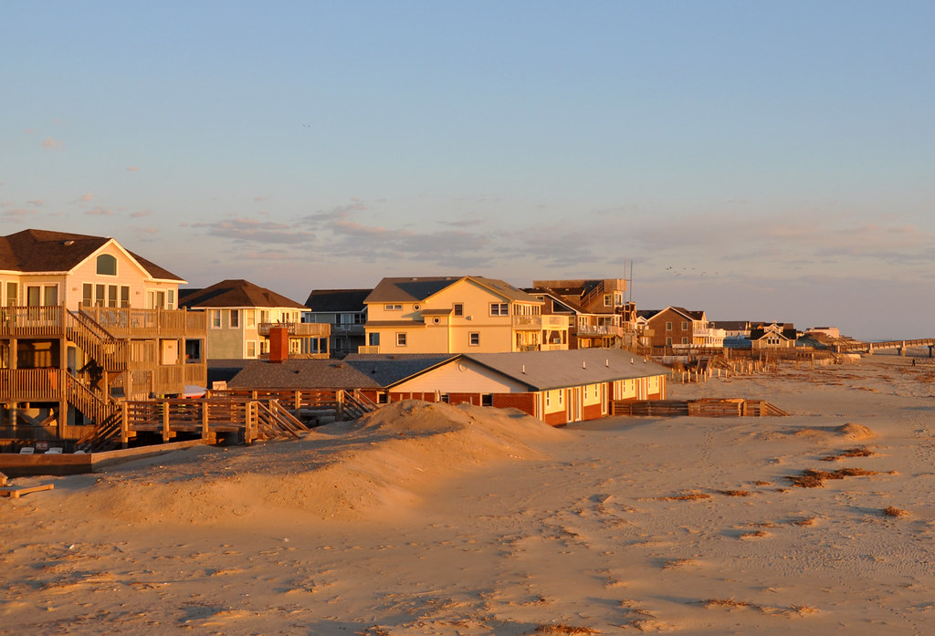
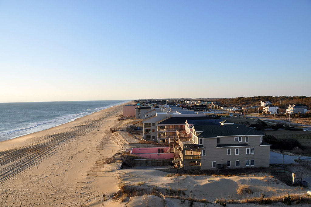
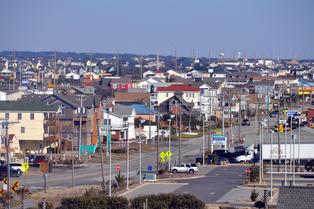
Sunset on the town of Nags Head, population 2,757. The entire population of Dare county is 34,307. The county is named for Virgina Dare, the first English child born in the "new world."
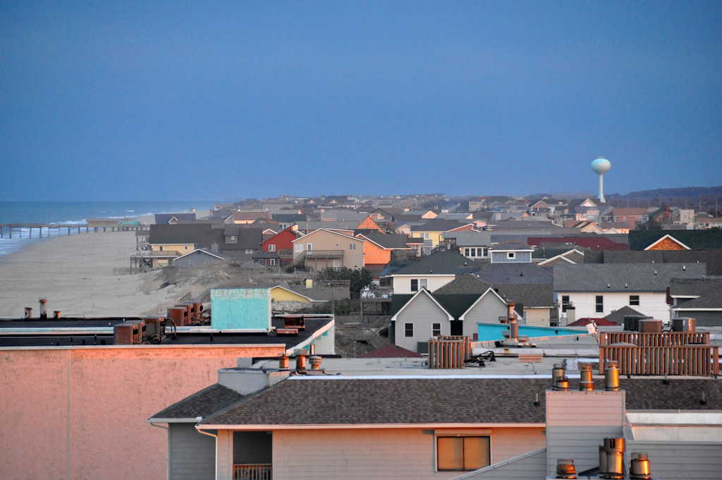
The sun setting over Roanoke Sound.

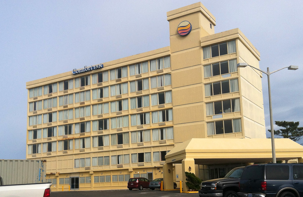
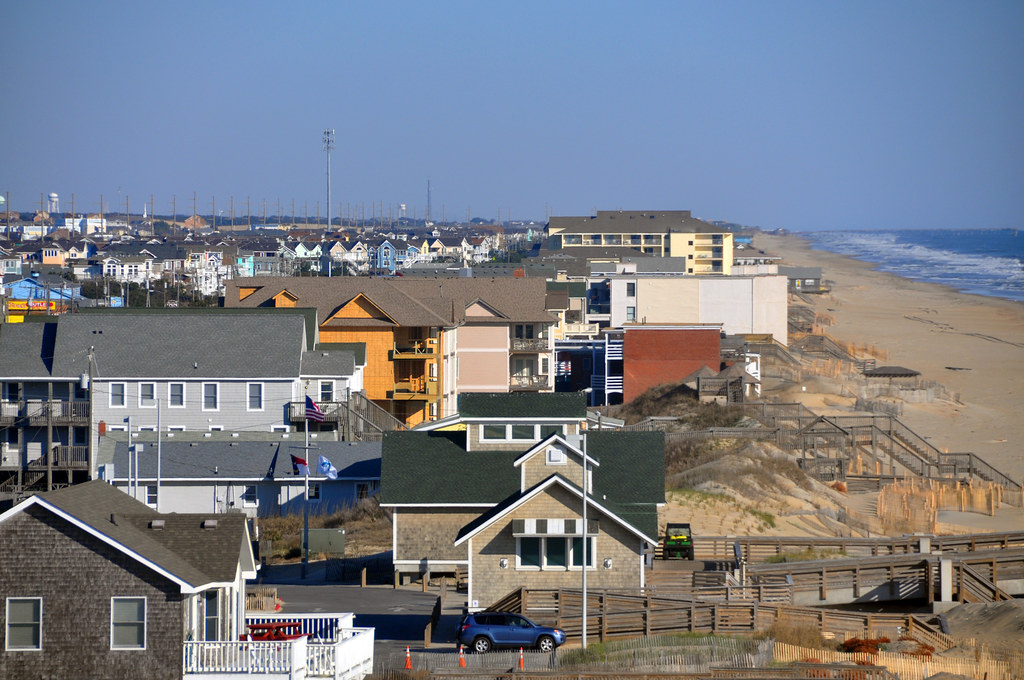
Those photos are from the top of the Comfort Inn. It's pretty much the tallest hotel around at seven floors:
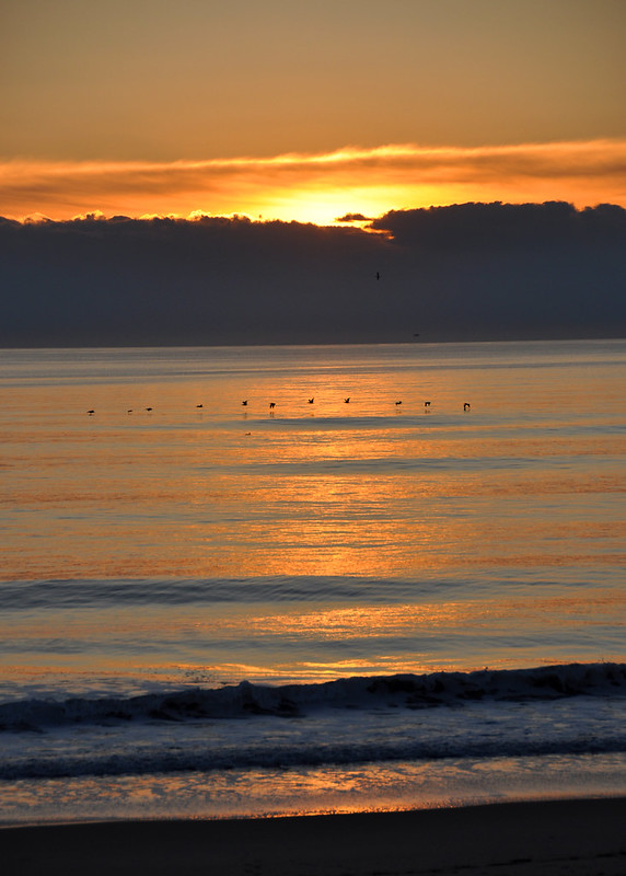
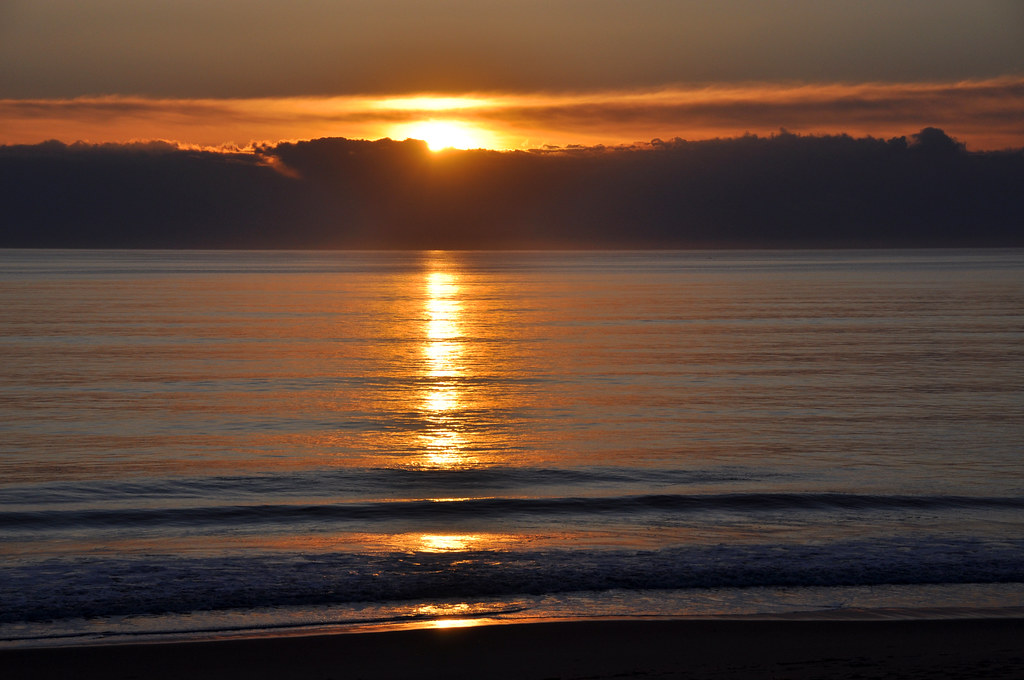
Sunrise over the Graveyard of the Atlantic. "More than 1,000 ships have sunk in these waters since records began in 1526."
So I had wondered in the past why this Northeastern part of the state tends to be fans of the Redskins in football and Nationals in baseball. One of the main local TV channels is out of the Hampton Roads area. I'm sure that has to do with it, as the area is more related to Norfolk and Virginia Beach than it is to Raleigh and the rest of NC.
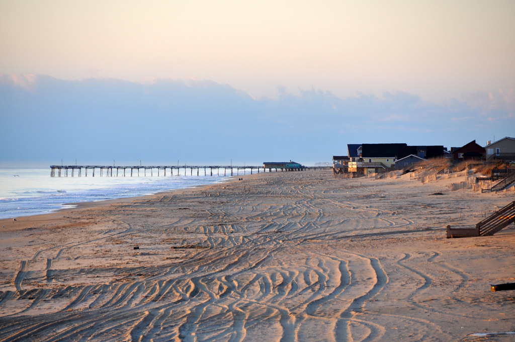
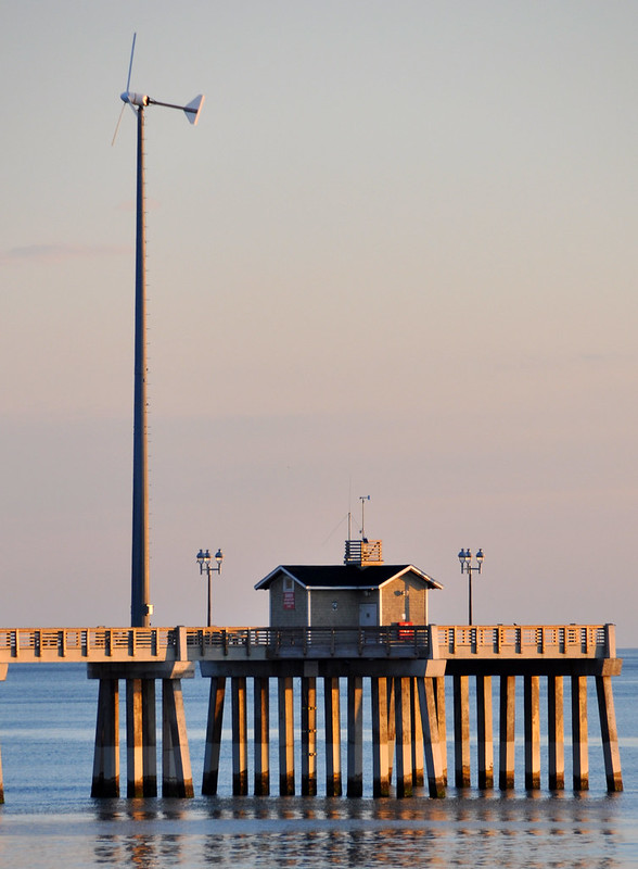
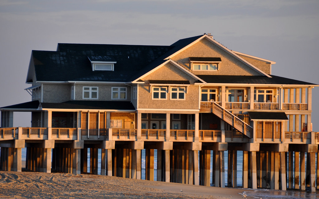
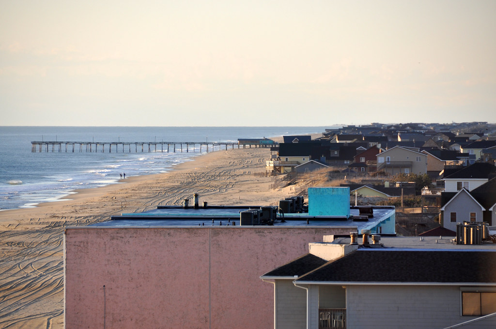
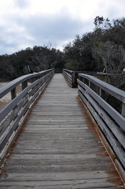
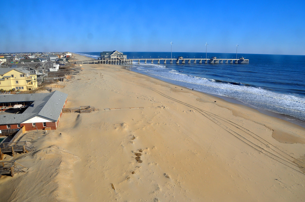
Jennette's Pier:
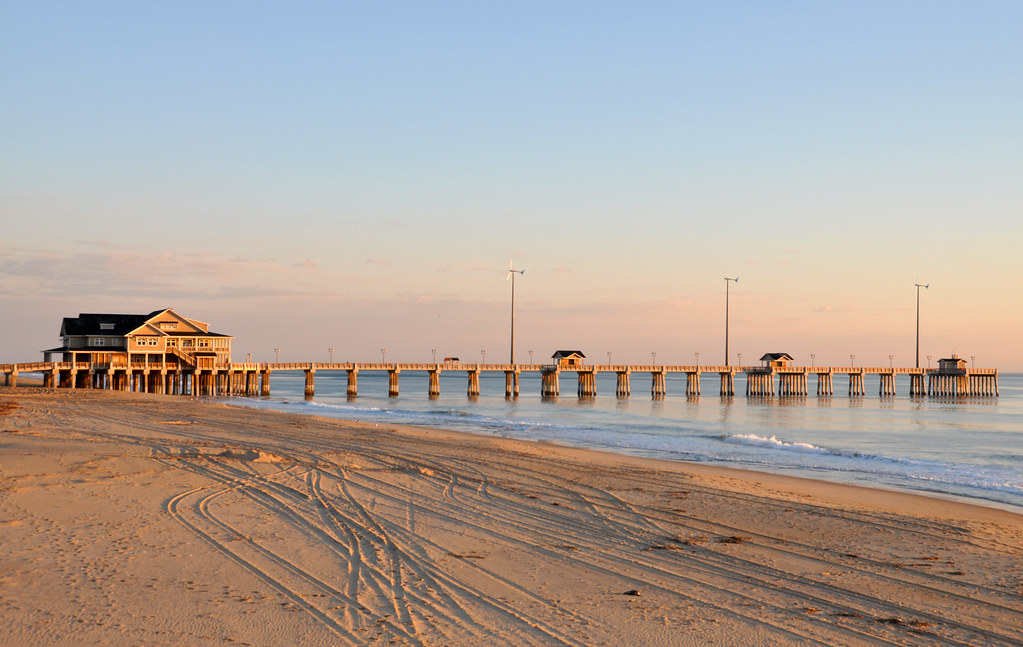
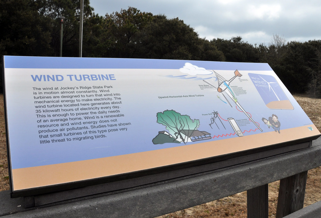
Did you notice the wind turbines? They are quite popular here as there is a pretty constant wind.
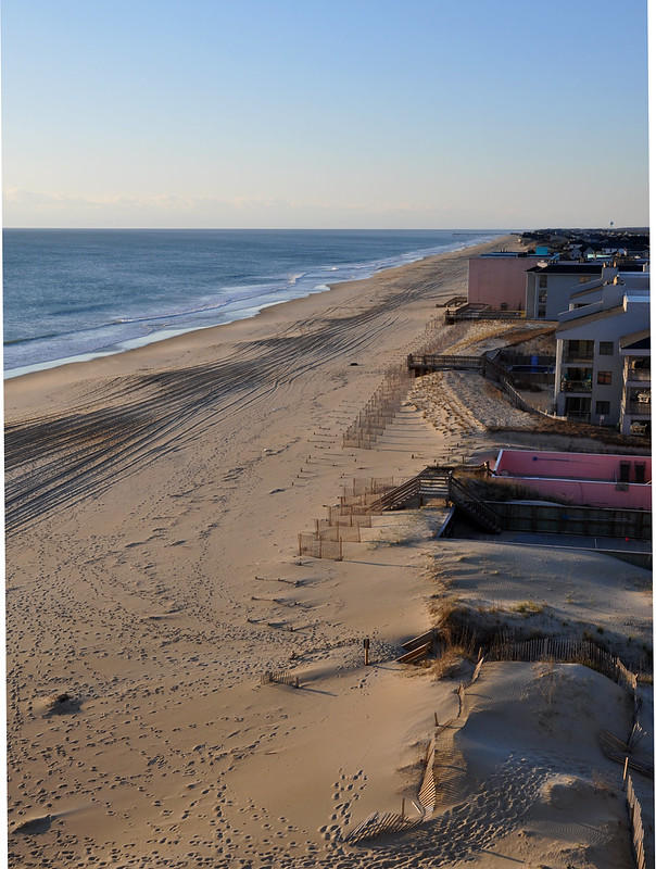
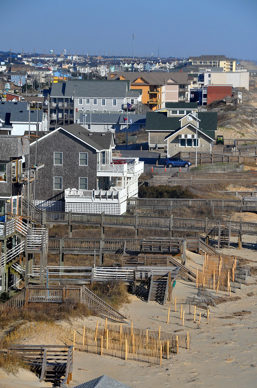
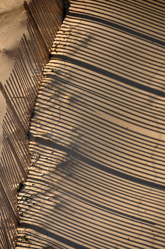
This older brick structure will soon be covered in sand. Not just the tides but the winds are moving sand - and the islands themselves - slowly closer to the mainland.
You'll notice on the right were the height of the sand has reached the top of the fence. With such constant wind it is a losing battle.
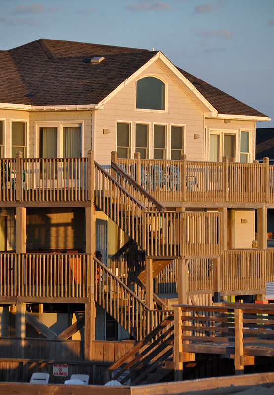
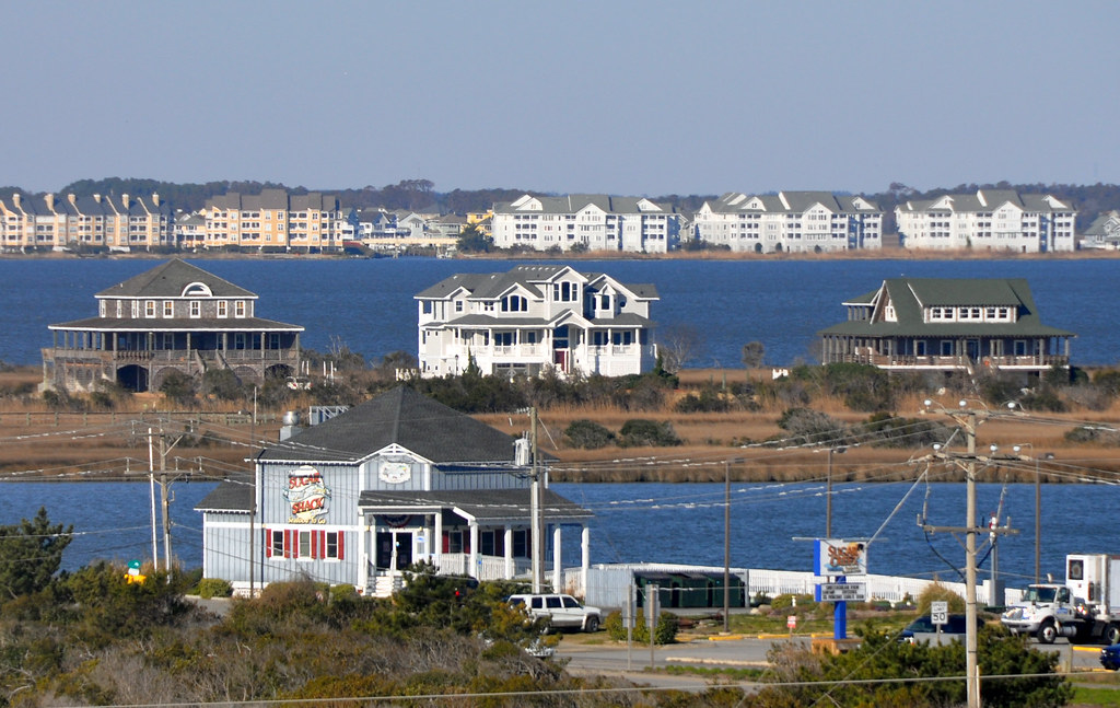
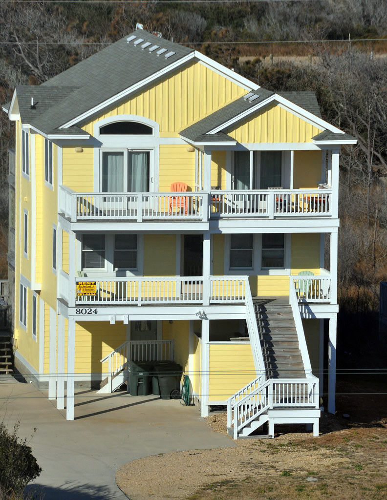
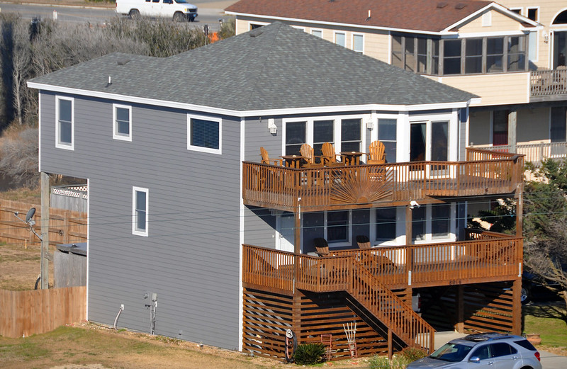
A lot of houses are rental villas. There aren't that many hotels around here. To find the resorts you have to go north to Virginia Beach or south to Myrtle Beach, SC.
You can see Bodie Island Lighthouse in the distance. I had planned on going to photograph it, but by late afternoon the clouds and snow flurries had moved in.
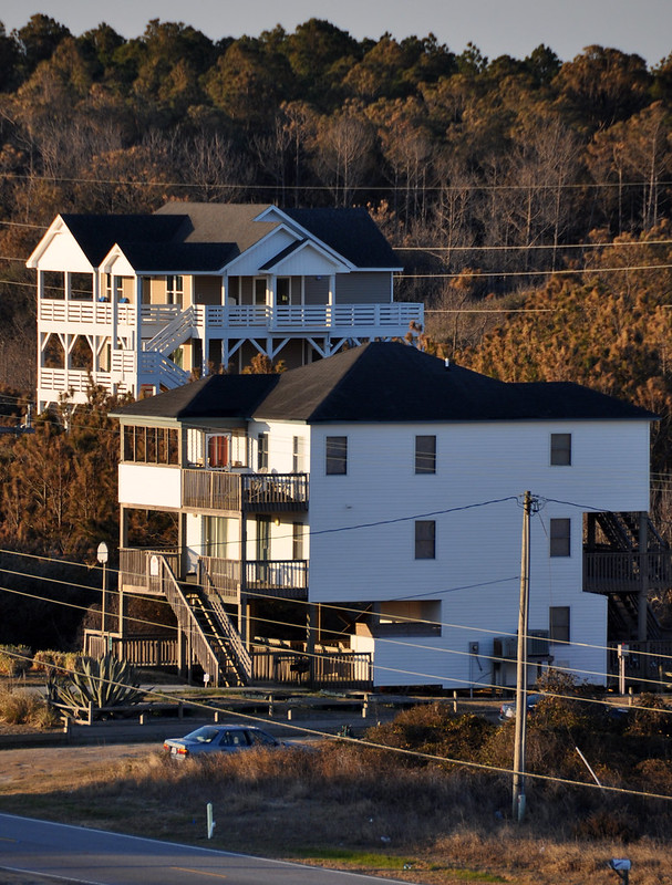
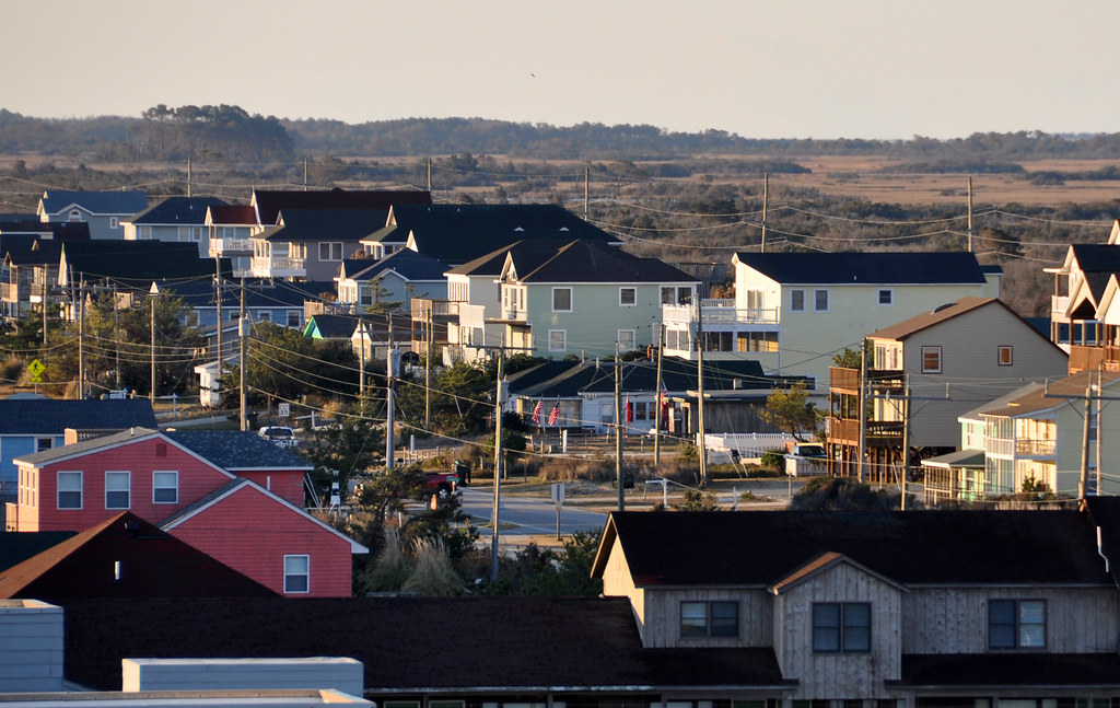
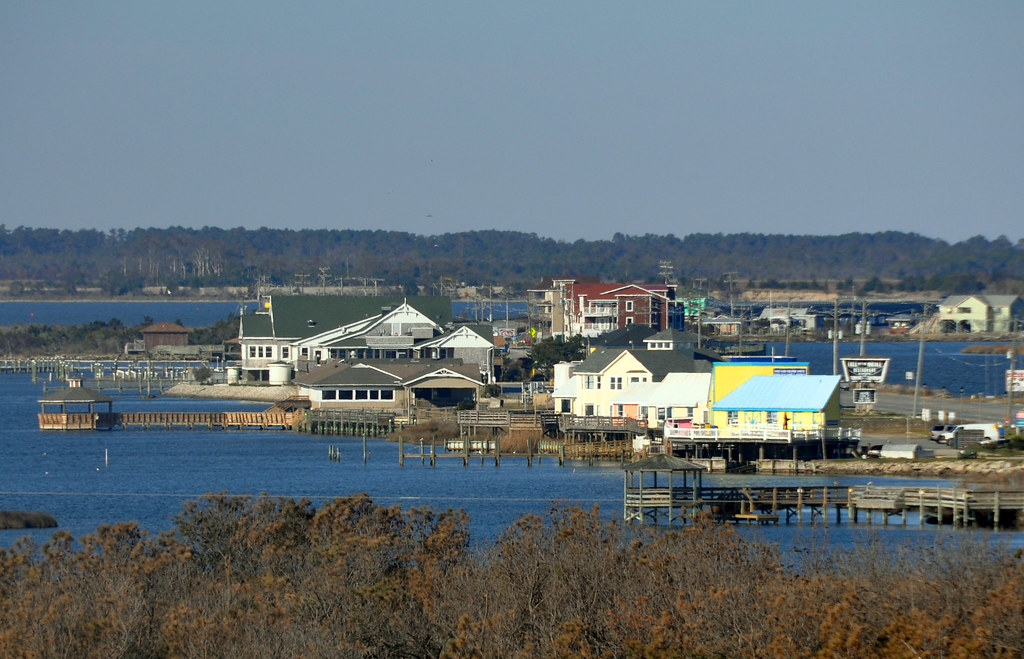
Just your typical street in Nags Head:
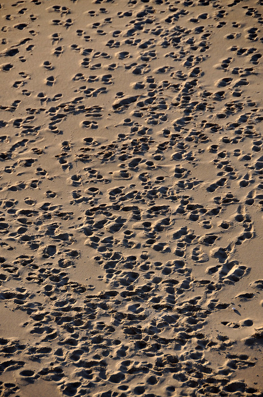
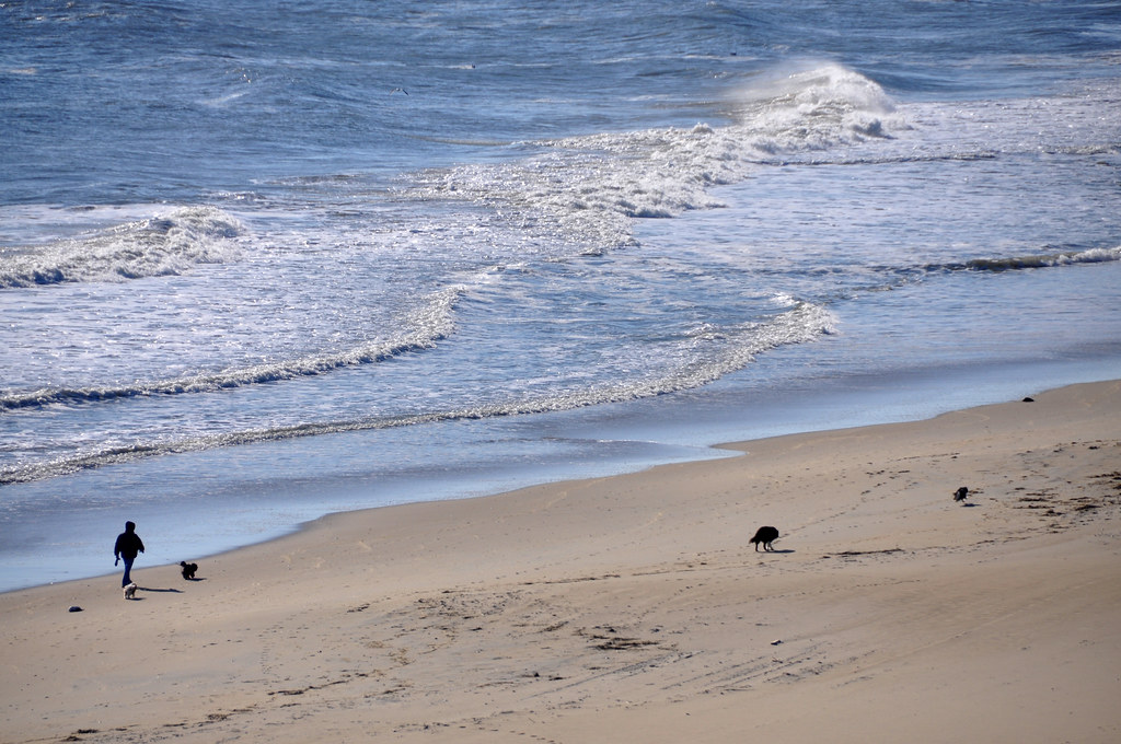
The beach was mostly deserted during my brief stay. I guess it was the near freezing temps plus the wind chill. I'd imagine tourists from Canada would call this a "lovely spring day."

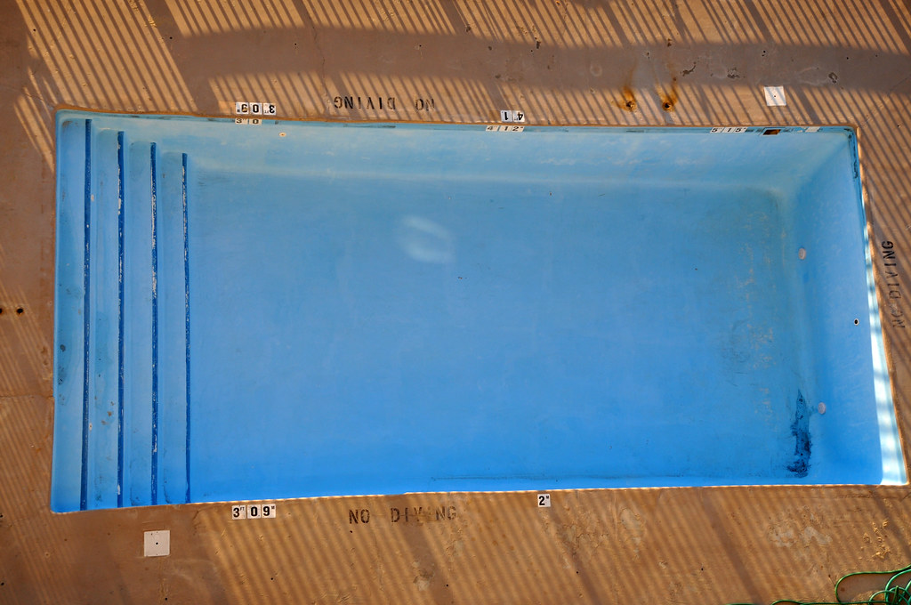
An empty swimming pool. By the end of the day the wind had deposited enough sand to cover the entire bottom.
Nags Head felt like what I imagine a New England coastal town would feel like.
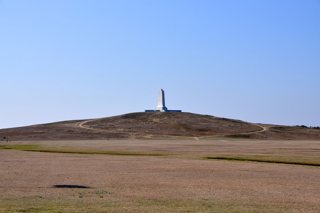
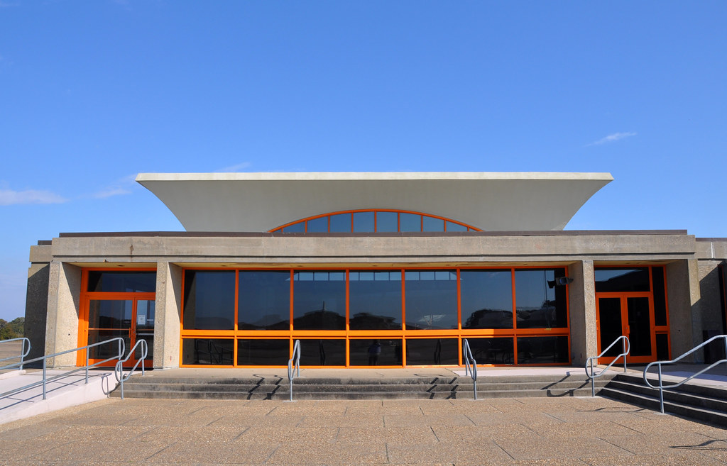
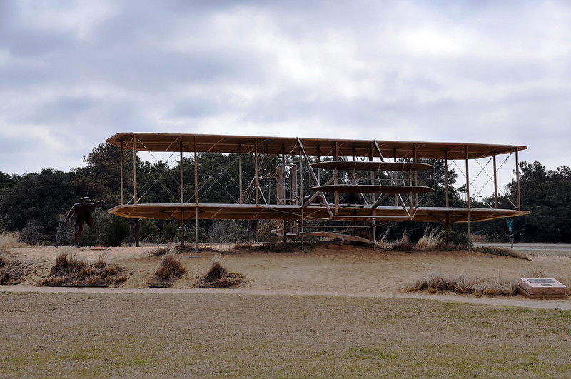
In the morning before the clouds blew in I went to the Wright Brothers National Memorial in Kill Devil Hills, a few miles north of Nags Head. Often the area is called Kitty Hawk which is another couple of miles north. This small towns all seem to run together. When the Wrights were here figuring out the whole flying thing none of the grass was on the fields or hill. It was added later to prevent erosion.
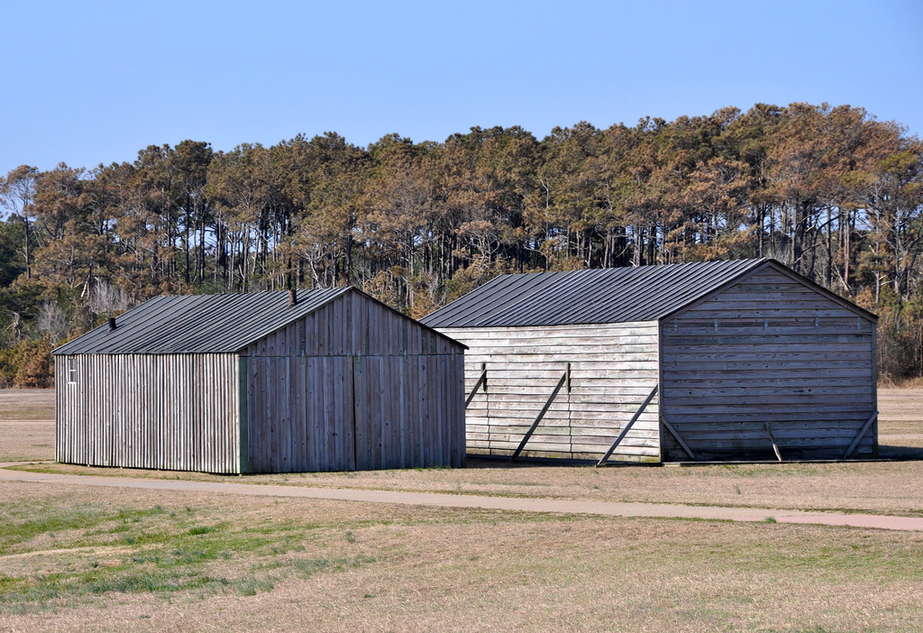
Reproductions of the shed and hanger the Wrights erected on this spot.
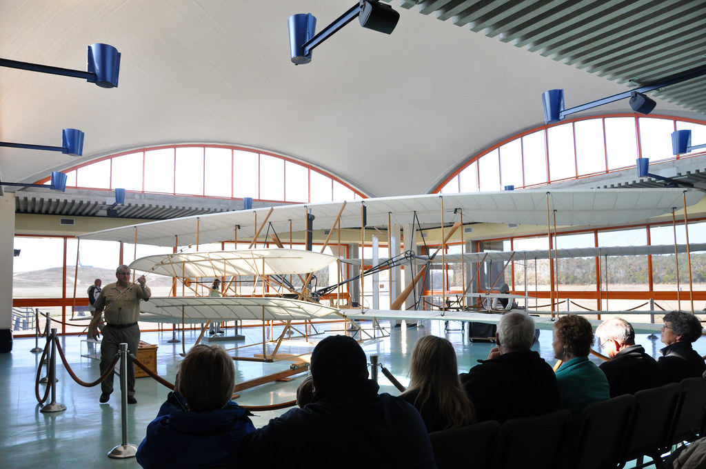
Part of the museum on site.
As an aviation buff I enjoyed the lecture. Why did the Wrights decide to ship all their gliders and airplane from Dayton, OH to here? Three things: 1) seclusion, 2) those constant winds, 3) sand makes for a softer landing. The lecturer demonstrated how the Wrights developed mechanisms to control pitch, yaw, and roll as well as improve the curvature of the wing. This is a reproduction as the original Wright Flyer was destroyed when a gust of wind caught it after the fourth powered flight.
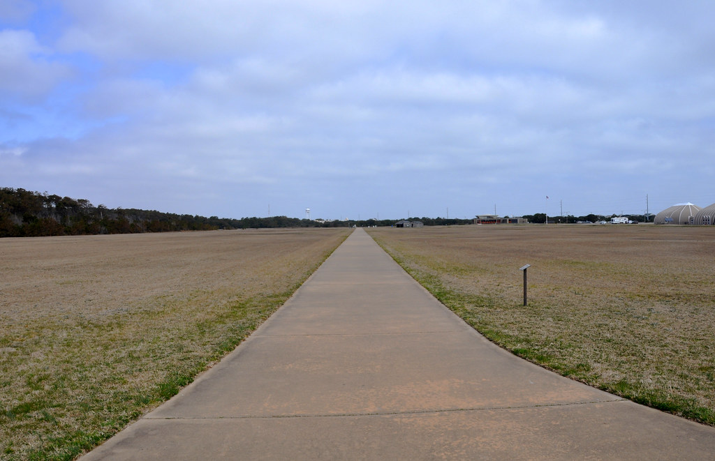
The spots where the first three powered flights landed. The forth marker is way off to the right as it was over 800 feet (243m). Also in 1903 there were hardly any trees on the island either.

Where man conquered the skies. As Louis CK says, if they'd known people today would be complaining about a 40 minute wait to take off would they have just given up?
The hill was used for glider and kite tests.
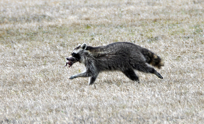
Wildlife! On highway 64 coming towards the islands there were signs saying to watch out for bear and red wolves crossing. I only saw deer.
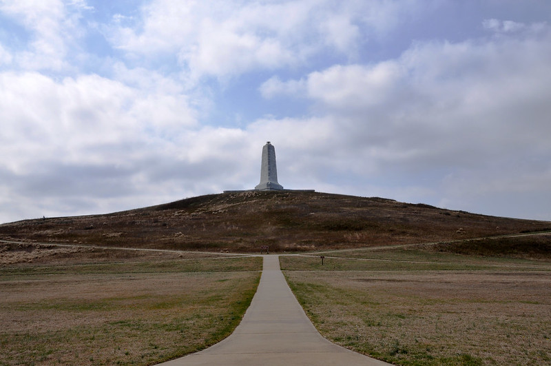
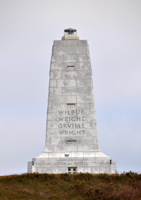
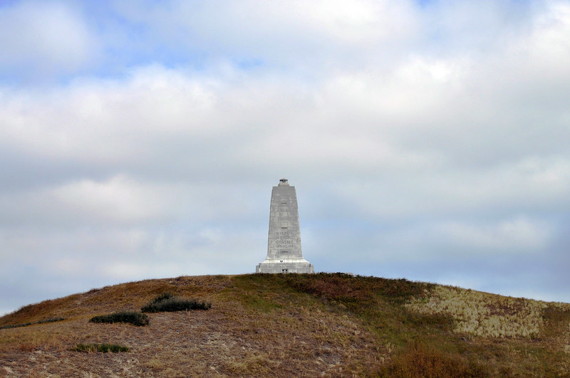
One of the few National Monuments dedicated while the person(s) were still alive. This was built in the early 1930's.
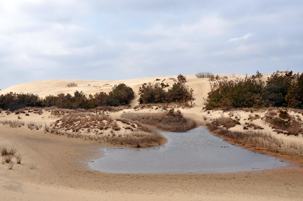
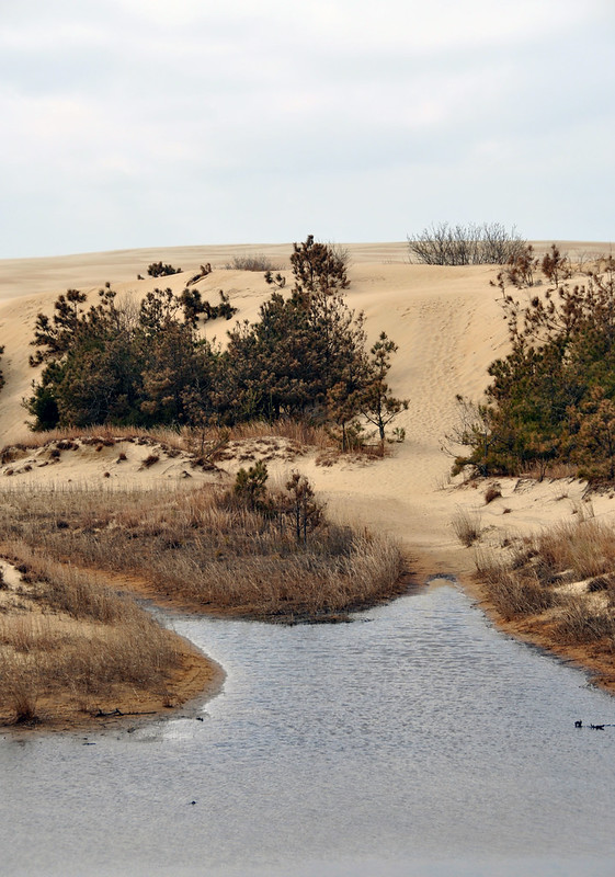
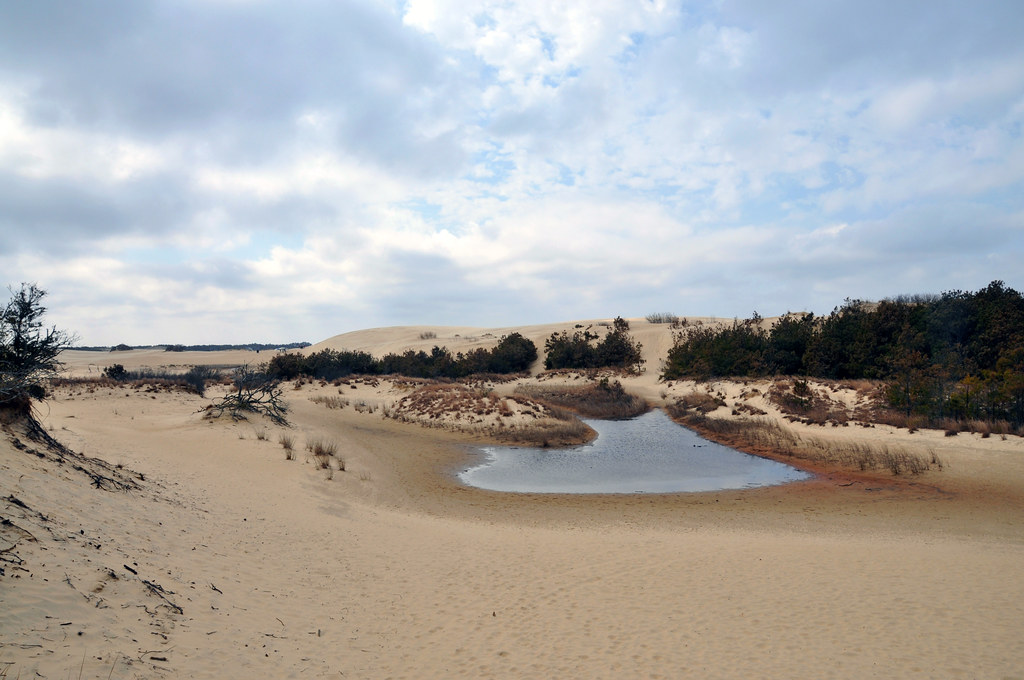
Just down the road is Jockey's Ridge State Park. The weather was starting to turn sour.
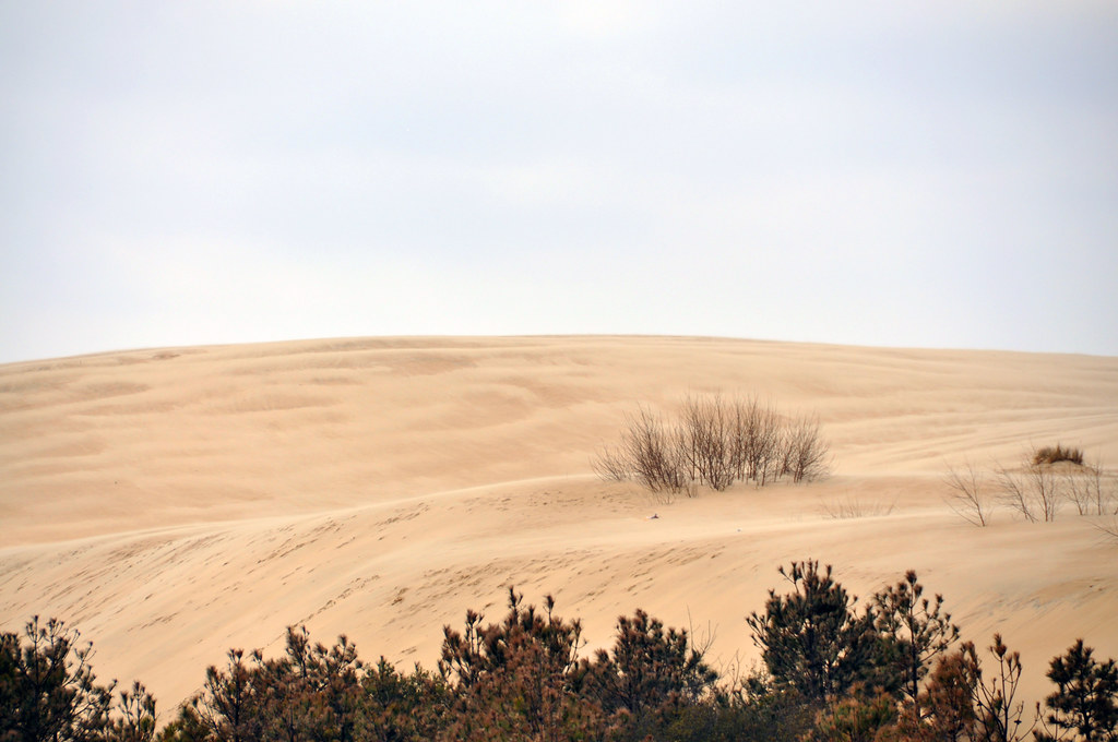
Sand dunes.
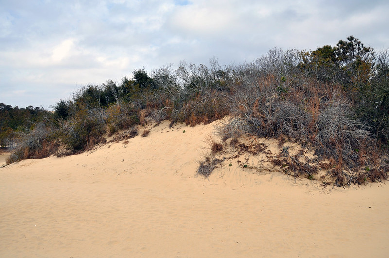
Lots of big sand dunes. They go on for quite a ways.
The crest of the largest dune is several stories tall.
Just down and to the left of the dune is a hang gliding school going on.
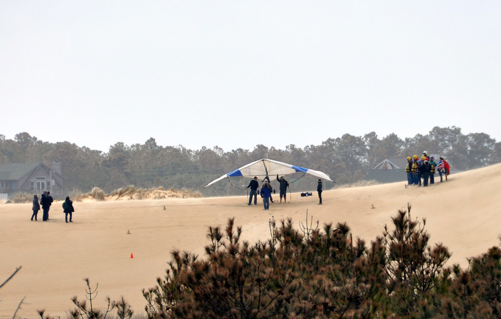
Zoomed out, can you even see the hang glider? It's just left of the tallest dune.
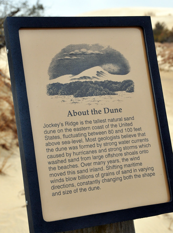
Learn about the biggest dunes on the East Coast! No mention of the sand worms or controlling the spice.
The Jockey Ridge State Park ranger's office is powered by a wind turbine.
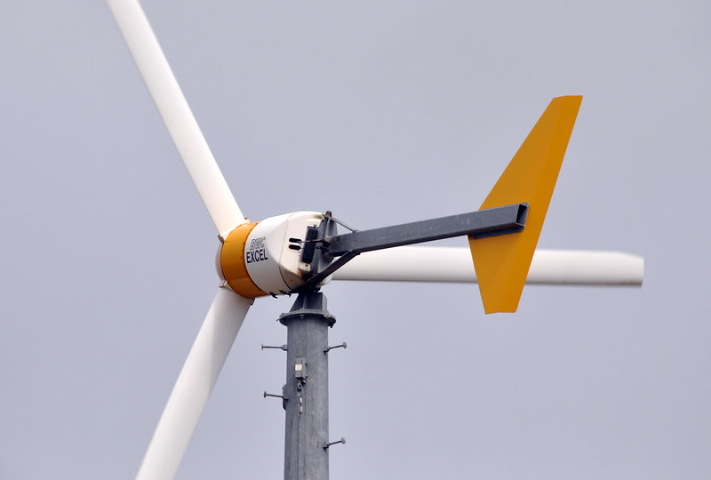
Learn about wind turbines! It was gusting around 20mph/32km and was pretty noisy standing under it.
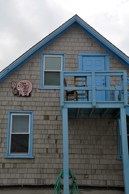
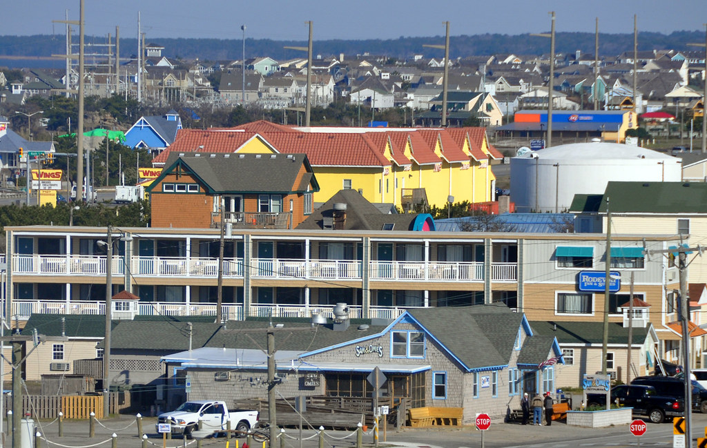
Enough of that cold wind. Time for some chowder at Sam & Omies.
And time for some fresh brews at the Outer Banks Brewing Station. They have a wind turbine out back as well that powers their brewery.
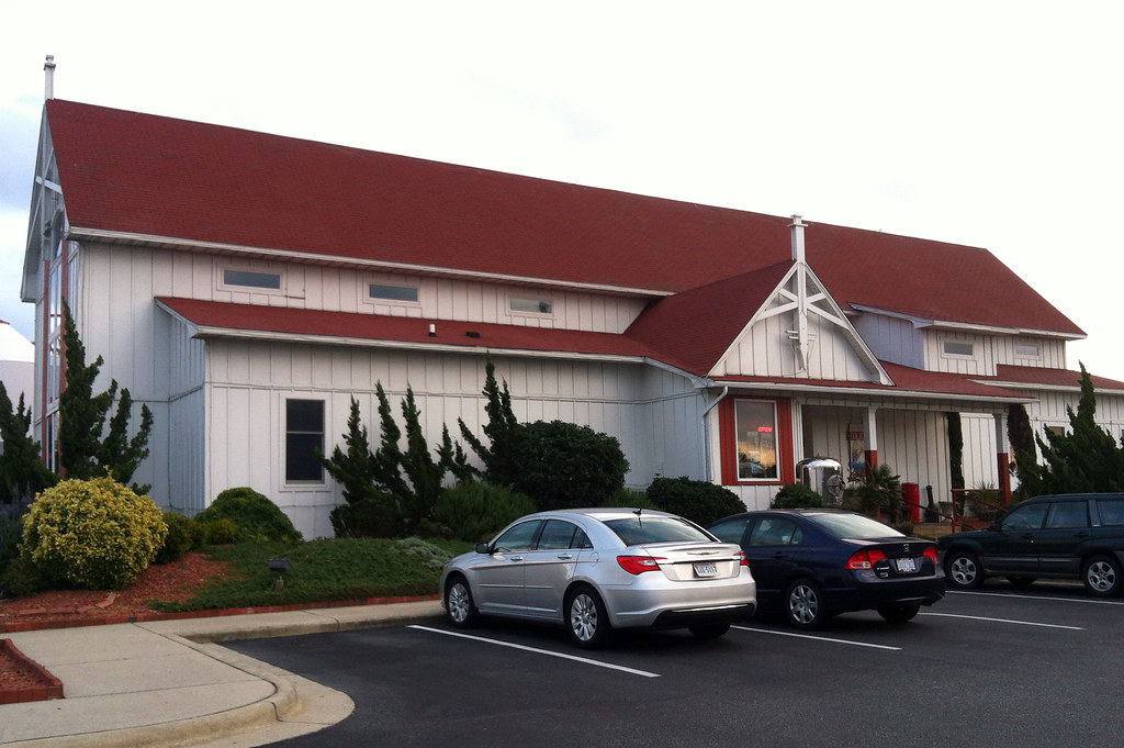
As far as I know this is the only brewery on the Outer Banks. Good, too.

Next morning before I leave.
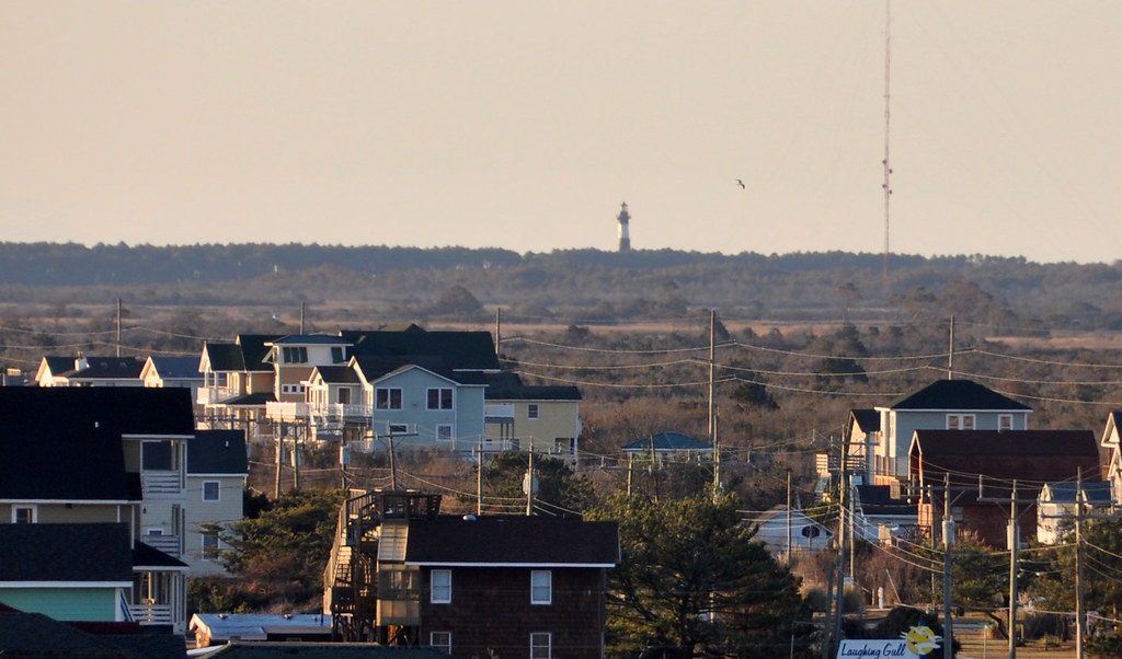
Large, concrete, hurricane resistant power poles can be seen in the distance. Also a cell phone tower.
There is kind of a big stink going on in NC right now because everybody's insurance premiums are going up to help cover the cost of repairing storm and flood damage along the coast. A lot of people think people who decide to build here should pay higher insurance premiums. The residents and businesses obviously do not. Plus the whole climate change thing... yeah, it's a big stink right now.
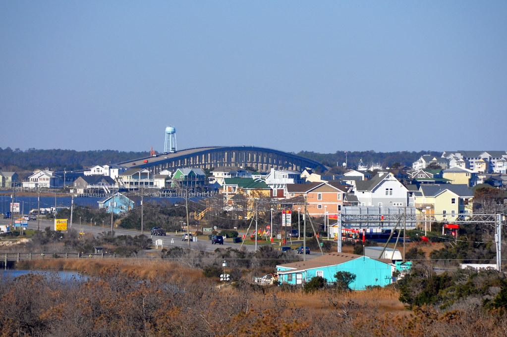
That row of condos in the distance? They are on Roanoke island, which is in between here and the mainland. It is most famous for being the place of the famous "Lost Colony." I wish I had time to visit some of the related historical stuff on the island but I couldn't fit anything else into this trip. The largest town on that island is Manteo. When referring to all of North Carolina, a popular phrase was "from Murphy to Manteo." Murphy is in the very western mountains of NC near the Tennessee border.
Part of the causeway heading towards Roanoke Island.
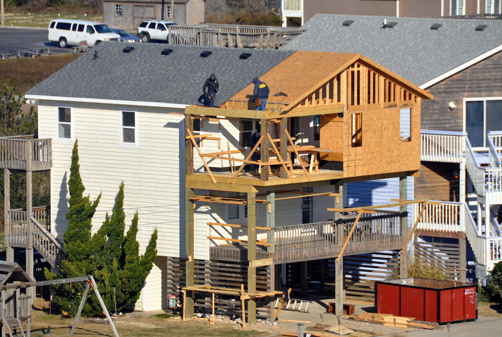
If you're not rebuilding after a storm you're adding on. Always building stuff.
Hope you enjoyed this brief tour of the Outer Banks.


 Linear Mode
