I was in Philadelphia last week. Here are some photos, supplemented by a few older ones from previous trips, and a handful from other photographers.
Philly has a very diverse transit system. Lots of modes, lots of operators. It's a pretty fascinating place. Let's look at a map.
This unofficial map shows all the rail transit in the Philadelphia area. It
comes from the
late and great Peter Dovak, and shows more than the official SEPTA map:
We'll hit each of these modes from the map one by one. Plus buses and bikes at the end.
- The orange, light blue, and red are subways/els
- The dark blue lines that dominate the map are regional/commuter rail.
- The green is streetcars
- The purple is light rail
- The yellow defies categorization.
So, let's do it. I hope you love the raw metal look--lotta aluminum & steel in Philly.
Subways & els:
There are 3 lines on 2 different systems. SEPTA runs the Market-Frankford line (light blue) and the Broad Street line (orange), while PATCO runs a line connecting Philadelphia with New Jersey (red).
They're all pretty interesting.
The Market-Frankford Line (MFL) runs on a Chicago-style el for much of its length. It's a cool structure.
In Center City the MFL goes into a subway. Meanwhile, the Broad Street Line (BSL) is a subway for its whole length. The subways are old pre-war claustrophobic-style tunnels, like New York and Boston.

The inside of a train.
In Center City several of the subway stations are connected via a series of underground pedestrian passages, allowing free transfers. Wish we had this in DC.
The PATCO line to New Jersey looks and feels pretty similar, except the trains are shorter and the railcar interiors are nicer.
As you ride PATCO over the Delware River to cross into NJ, you get pretty nice views.
 New Jersey defies categorization:
All right, let's do New Jersey next. In addition to the PATCO, you get two other rail lines.
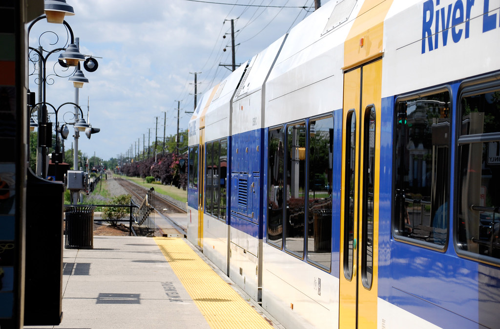
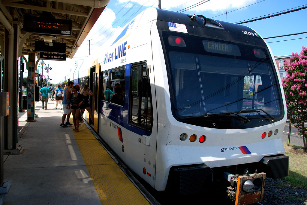
First, the RiverLine, a light rail/commuter rail hybrid that goes from downtown Camden to downtown Trenton. In the two downtowns it runs on-street like light rail, but inbetween it runs in an off-street right-of-way like commuter rail. It uses Deisel Multiple Unit (DMU) trains, sometimes called deisel light rail.
Here it is in downtown Camden:
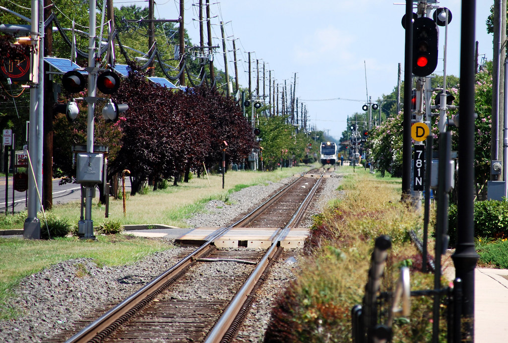
And here it is in-between the two downtowns, in the suburbs.
There are a few similar DMU lines around the US. Probably the most prominent is the
Austin Capital Metrorail, which also runs on-street at its downtown end.
Moving on, the second defies-categorization line in NJ is the New Jersey Transit line to Atlantic City, a sort of quasi commuter rail-intercity rail line. AC is 60 miles from Philly and takes about an hour and half on the train. I don't really know whether New Jerseans think of this line as more of a regional rail line or more of a short intercity line, but in my head it's more the latter.
You may be familiar with
NJ Transit's New York-focused commuter rail system. This is its only Philly-centered line.
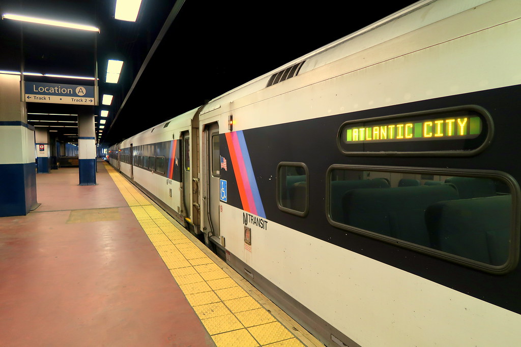 Photo by wyliepoon on Flickr. Except where otherwise noted, the rest of the photos in this thread are mine.
 Photo by Pablo Maneiro on Flickr. Except where otherwise noted, the rest of the photos in this thread are mine.
Regional rail:
Photo by Pablo Maneiro on Flickr. Except where otherwise noted, the rest of the photos in this thread are mine.
Regional rail:
Philadelphia calls its commuter rail "regional rail," and with good reason. Unlike most US commuter rail, Philly's runs all day and on the weekends. Some lines are more frequent than others, and I don't really know which are which, but it's generally legit transit in a way that, say,
VRE is not.
They use EMU trains, Electric Multiple Units, which are sort of light rail-esque in the sense that there's overhead wires, no locomotive, and trains tend to be only a couple of railcars long, as opposed to the
loooong trainsets of infrequent commuter rail.
The hub is 30th Street Station, also Philadelphia's Amtrak station. It's the 3rd busiest Amtrak station in the US, after New York Penn and DC Union.
 Photo by Dan Gaken on Flickr. Except where otherwise noted, the rest of the photos in this thread are mine.
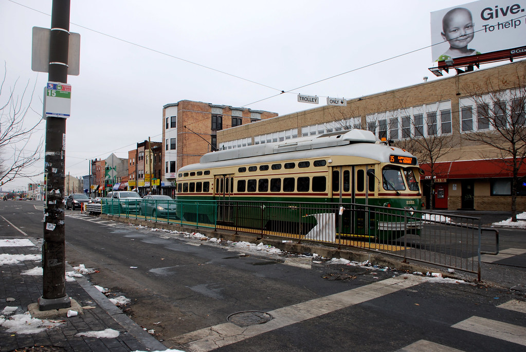
Trolleys:
Photo by Dan Gaken on Flickr. Except where otherwise noted, the rest of the photos in this thread are mine.
Trolleys:
Philadelphia has the United States' largest streetcar system, with 40 miles of vintage lines covering 8 routes, all dating from the pre-war era (although there's been some rehabbing/rebuilding).
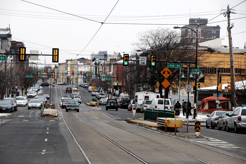
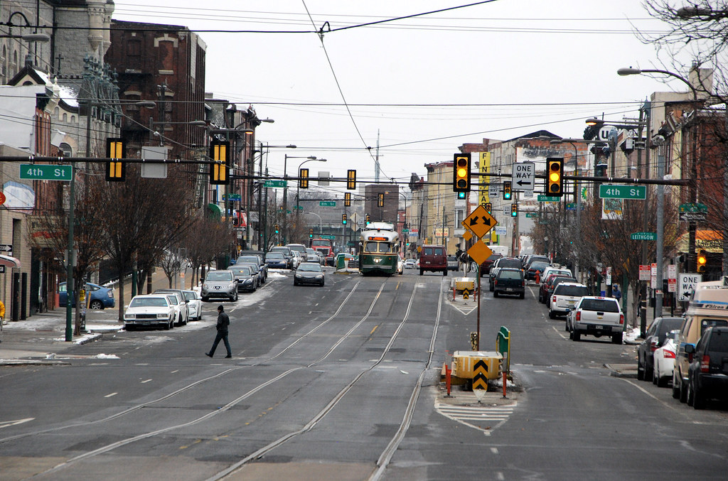
5 of the 8 lines form the Subway-Surface system, beginning as mixed-traffic streetcars in West Philadelphia, and then converging into a subway tunnel to go into Center City. You can see how that works on the map at right.
The on-street portions of these lines are very pre-war in style. Mixed traffic, running in the center of the street (so riders have to step down off the curb into the street in order to get on), with stops that are just flags on the side of the road.
The vehicles themselves date from the early 80s, and are pretty small.
Interior.
The Green Line Cafe, branded after the trolleys. I definitely bought breakfast here. I'm such a sucker.
Here's the subway. This is the end-line loop station, where the trolleys turn around under Philadelphia City Hall and head back out. The other stations are more regular.
The other Center City trolley subway stations are co-located with stations on the MFL subway. MFL is in the center, with the trolley on the outside.
The Girard Avenue line is branded as part of the Subway-Surface network, but it never enters the subway and is operationally completely separate. It's also a really interesting line.
First of all, it uses literal PCC streetcars, originally built in 1947 (since rehabbed).
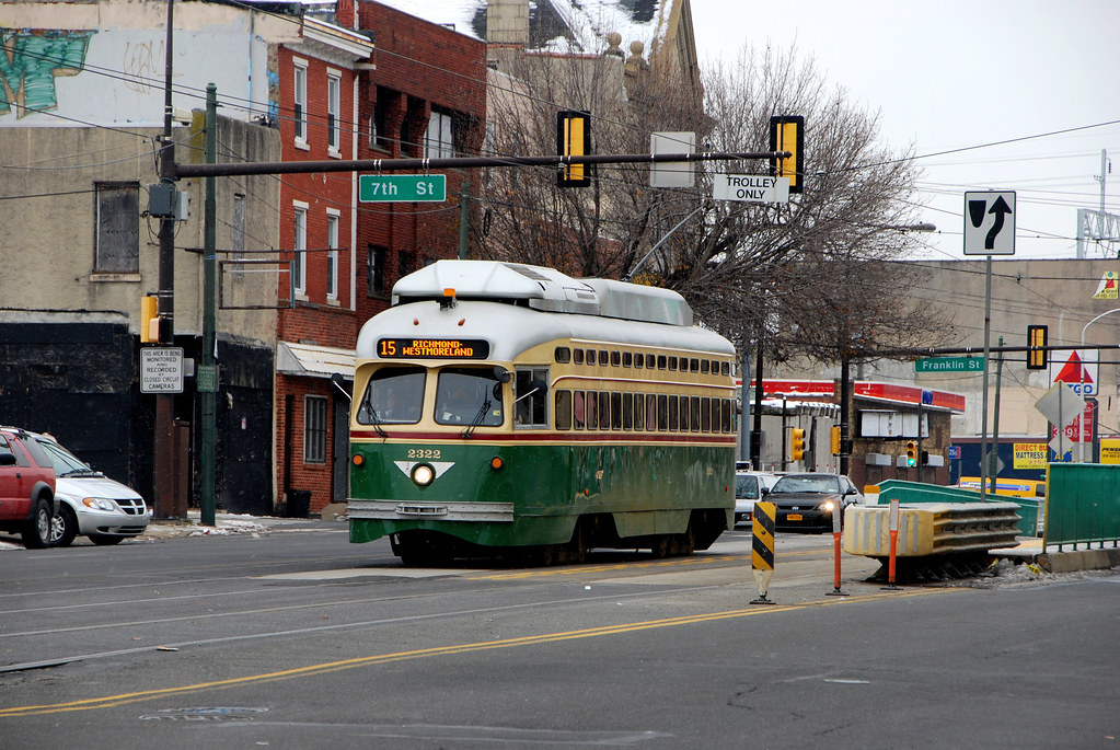
Secondly, it runs in an almost-transitway. It does share its lanes with cars, but they're center lanes of a multi-lane street, and the stations are islands. It would be pretty easy to turn this into a legit transitway (politics notwithstanding).

OK, head out to a different part of town, to far West Philly. Where the MFL el ends at 69th Street station, three other rail lines begin, heading further out into the suburbs. Two of them are trolley lines, and a third is light rail. But these trolley lines function a lot like light rail, so it's kind of a weird distinction.
Here's 69th Street station, where you can see a heavy rail and trolley turn-around loops right next to each other.

Here's the trolley turn-around loop.
The two trolley lines take off together on dedicated tracks down the middle of the street.
After a while they split off and run in a suburban interurban style, almost like regional/commuter rail except with trolley vehicles. They go off-street and have adorable little station houses at many of the suburban stops.
 Photo by Peter Ehrlich on Flickr. Except where otherwise noted, the rest of the photos in this thread are mine.
Light rail:
Photo by Peter Ehrlich on Flickr. Except where otherwise noted, the rest of the photos in this thread are mine.
Light rail:
The third line that begins at 69th Street station is the
Norristown High Speed line. The name is anachronistic--it's a "high speed trolley," essentially light rail from before the term light rail was invented. This is basically the same as the two trolley lines that begin at 69th Street, except it uses different vehicles (powered by third rail instead of wires) and never goes on-street.
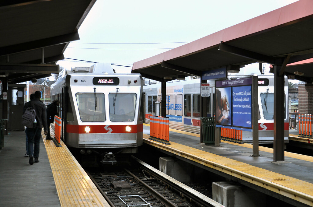
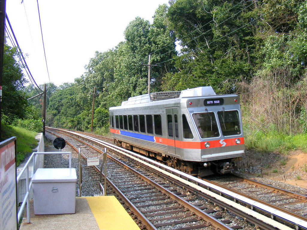 Photo by Sean Marshall on Flickr. Except where otherwise noted, the rest of the photos in this thread are mine.
Buses:
Photo by Sean Marshall on Flickr. Except where otherwise noted, the rest of the photos in this thread are mine.
Buses:
The most interesting thing about Philly buses is that SEPTA is one of only 5 US cities that still runs trolley buses--buses powered by overhead wires. There are 3 trolley bus lines, all in North Philadelphia.
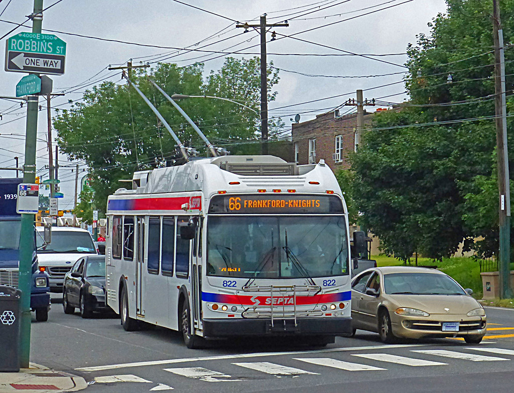 Photo by gg1electrice60 on Flickr. Except where otherwise noted, the rest of the photos in this thread are mine.
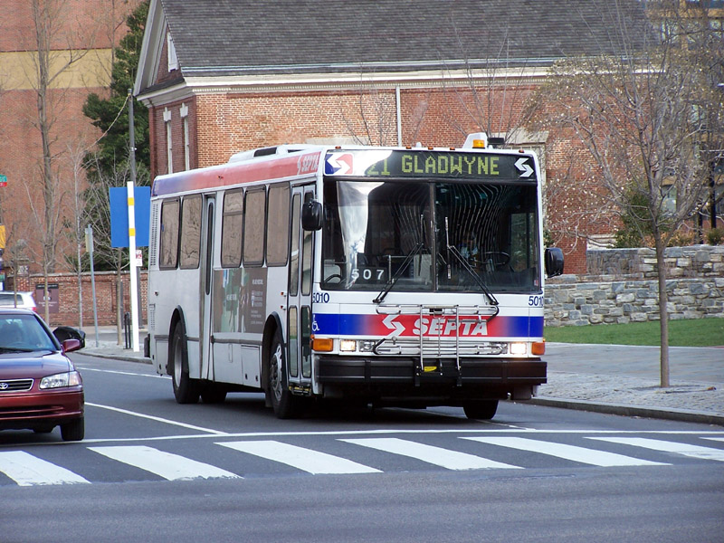
Normal buses are far more numerous.
There are some interesting stops.
North Philly seems to have all the interesting bus stuff. In addition to the trolley buses, from the northernmost stop on the BSL subway there's a specially-branded limited stop line called the Boulevard Direct. It's not BRT but it's a nice upgrade over a normal bus.
 Photo by Jarrett Stewart on Flickr. Except where otherwise noted, the rest of the photos in this thread are mine.
Two photos of bike stuff:
Photo by Jarrett Stewart on Flickr. Except where otherwise noted, the rest of the photos in this thread are mine.
Two photos of bike stuff:
Philadelphia has bikeshare and bike lanes, but it seems to be behind NY and DC in terms of bikeway quality and bikeshare fleet size.
Anyway here's the bikeshare.
And a protected bikeway in West Philly near UPenn.
That's it. Hope you enjoyed. Here's a Philadelphia City Hall photo, required by law to be included in all Philadelphia threads.


 Threaded Mode