Quote:
Originally Posted by trueviking

hang on...calatrava is doing a bridge in calgary?!?!
whats that wiggly thing on the right?
|
Yep, Calatrava is doing a pedestrian bridge located in the spot that CtrlAltDel has in his renders - at the western tip of Prince's Island. This is simply a stand in.
There will be a second pedestrian bridge further east connecting the redeveloping East Village to Bridgeland at the western tip of St. George's Island. The quasi-public development authority executing the redevelopment and TIF for the East Village that will build the eastern bridge has previously indicated that it may do a competition. Yet to be confirmed.
These bridges are a HUGE source of controversy, much like Winnipeg's ped bridge - with the fiscal conservative crowd latching on to them as a symbol of overspending at the City - at a time when municipal property taxes are set to rise by about 20% over the next three years.
In the end though, several efforts to thwart the bridges have been overcome and Calatrava is signed on (for at least one of the bridges).
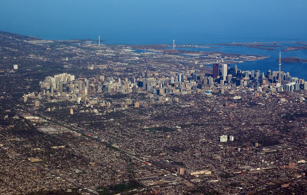
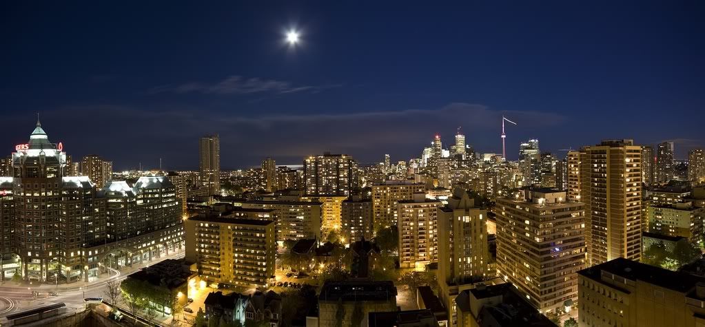
As for this ridiculous density and skyline comparison - just forget it - not worth pursuing.


 Prev
Prev


 OMD, don't you guys think you are going a little over board with this? Toronto is getting its panties in a knot, you don't have to re-tell the world a thousand times how much bigger you are than Calgary. Everyone on here already knew that even when the original post was made.


 Linear Mode
