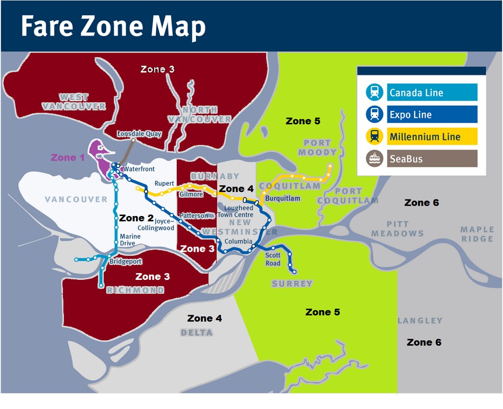
A while back someone raised the thought of reorganizing the bus routes in the Burnaby south slope area. Obviously the zone boundary factors into why the routes look like they do.
The area is a mix of a grid layout and a curvy street model. I have never ridden the buses in this area so at least I'm approaching it with very little biased. I acknowledge that I am missing the incites that only a local bus rider/driver would provide. Never the less, Here is my map with routes:
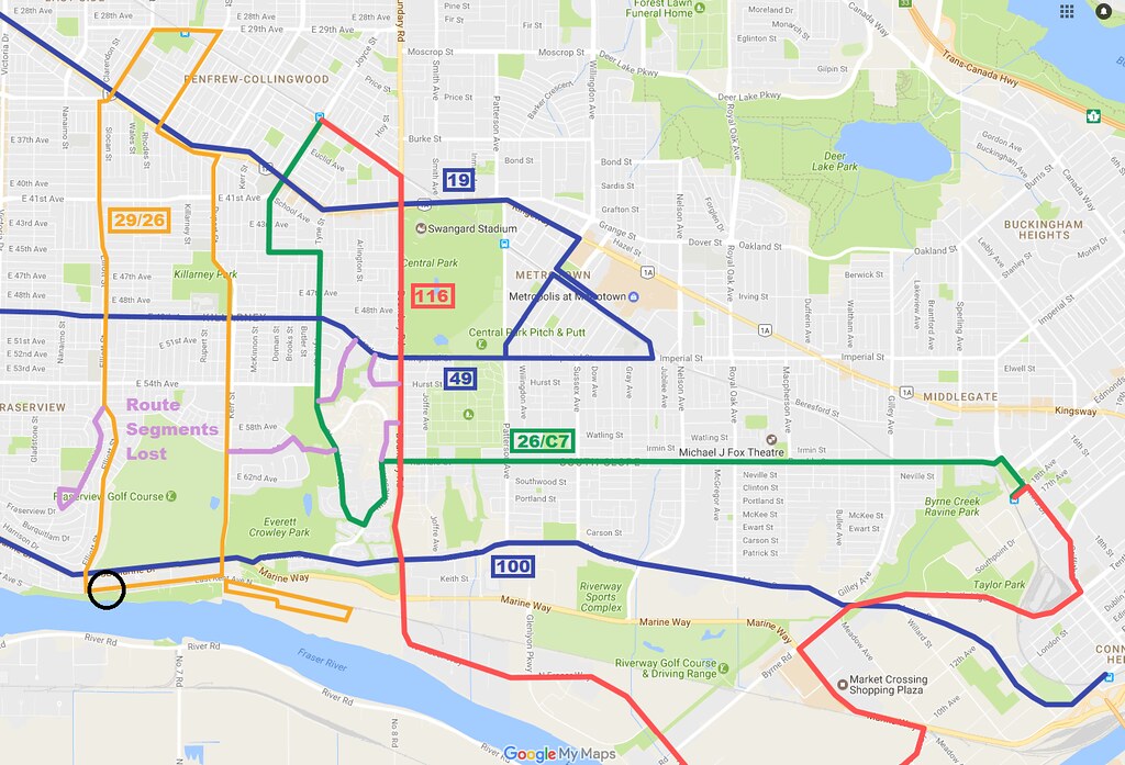 Burnaby South Slope bus routes 2 sans C5 C6 C7
 by
mullux
29/26:
-Would serve The River District.
-A bus bollard solution would allow passage where black circle is.
26/C7:
-The C7 is seeing better passenger numbers and a real bus could aid it to do better.
116:
Had a difficult time with how to route it. So just ran it up the simplest and direct route.
I didn't include the community shuttle routes because they would make the map harder to read. They would be sprinkled back into the slopes to provide coverage.
Any comments or feedback?


 Prev
Prev


 Linear Mode
