Quote:
Originally Posted by M II A II R II K

Isn’t Greater London everything inside the M25, or maybe excluding Zone 6 which doesn’t use London postal codes but the borough’s they’re in instead.
|
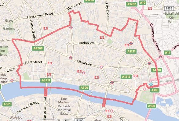
The M25 contains most of Greater London except for a part of the London Borough of Havering in the east, and directly borders two other London Boroughs (Hillingdon in the west and Enfield in the north). The likes of Watford and Dartford are within the confines of the M25 but not part of London. The second image in muppet’s post (#3) shows the M25 around London. Around a third of zone 6 stations reside outside of London.
Quote:
Originally Posted by dc_denizen
I tend to think the sparse, forested sprawl of say northern Nassau county, or Basking Ridge is NYC's equivalent of a 'green belt'.
|
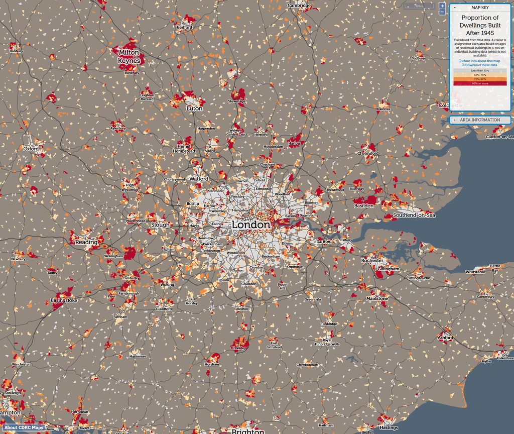
The Green Belt isn’t about tree cover, it was introduced to prevent urban sprawl and preserve land, whether that is rolling fields, agricultural land, forests, etc… If you refer back to my previous post I included a map which perfectly demonstrated the implications of the Green Belt on urban sprawl, it effectively stopped after WW2 which is why there is so little orange and red attached to the main urban area of London. The satellite images you posted of the areas around New York are examples of sprawl regardless of tree count.
Quote:
Originally Posted by isaidso
When comparing London with Toronto I usually pair Greater London with the Greater Toronto - Hamilton.
|
I don’t get the comparison between Greater London and the Greater Toronto Area other than that both share the word
’Greater’, and the presence of a Green Belt (the implementation dating half a century apart), let alone then adding Hamilton – a separate city – where you can’t even get a train to Toronto at the weekend or after 07:18 in the morning.
Quote:
Originally Posted by isaidso
Places like Peterborough, Barrie, and Kitchener - Waterloo (outside the greenbelt) are to Toronto what places like Reading, Luton, and Milton - Keynes are to London.
|
I also don’t get the comparison of Peterborough, Barrie, Kitchener/Waterloo to Reading, Luton and Milton Keynes as defining the regional catchment. The Ontario settlements are beyond the Greenbelt, but have poor connectivity to Toronto. Peterborough, ON for example is a 2hr drive from Toronto and doesn’t have a rail service; the others have long journey times by road or intermittent and slow rail services. The communities around London that you refer to are around half the distance of the Ontario settlements you refer to are either within or bordered by the Green Belt, as well as having fast and frequent high-capacity services into London. If anything London’s more developed rail network enables a larger catchment.


 Prev
Prev


 Linear Mode
