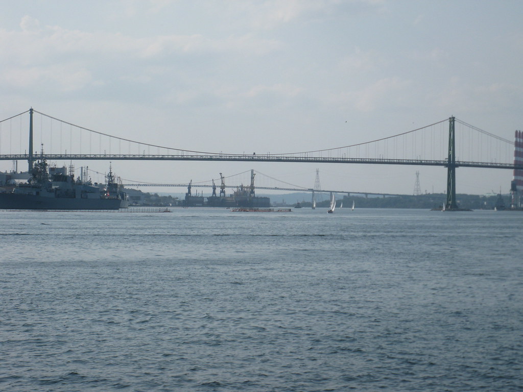
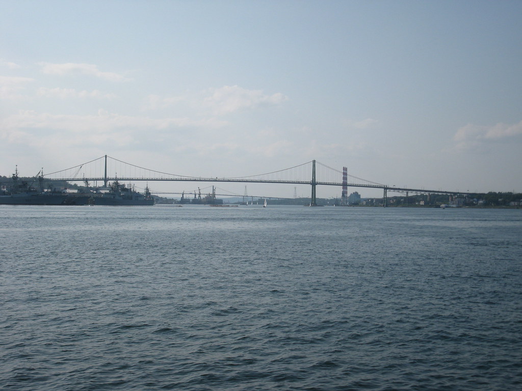
Well i was up in the air over Maple Ridge and Pitt Meadows the other day so i made sure to snap many photos. I hope to post them all on this forum later, but for the time being here are some i took of the Golden Ears Bridge and almost the entire north side of the project.
I will post them in the order they were taken. I personally think the best pictures are near the end
These few are just after take off (Pitt Meadows Airport). They are all looking south east.
Here is the airport road interchange (just north of the main bridge structure) You can see a bus going through the tolls. Also i love the roundabouts!
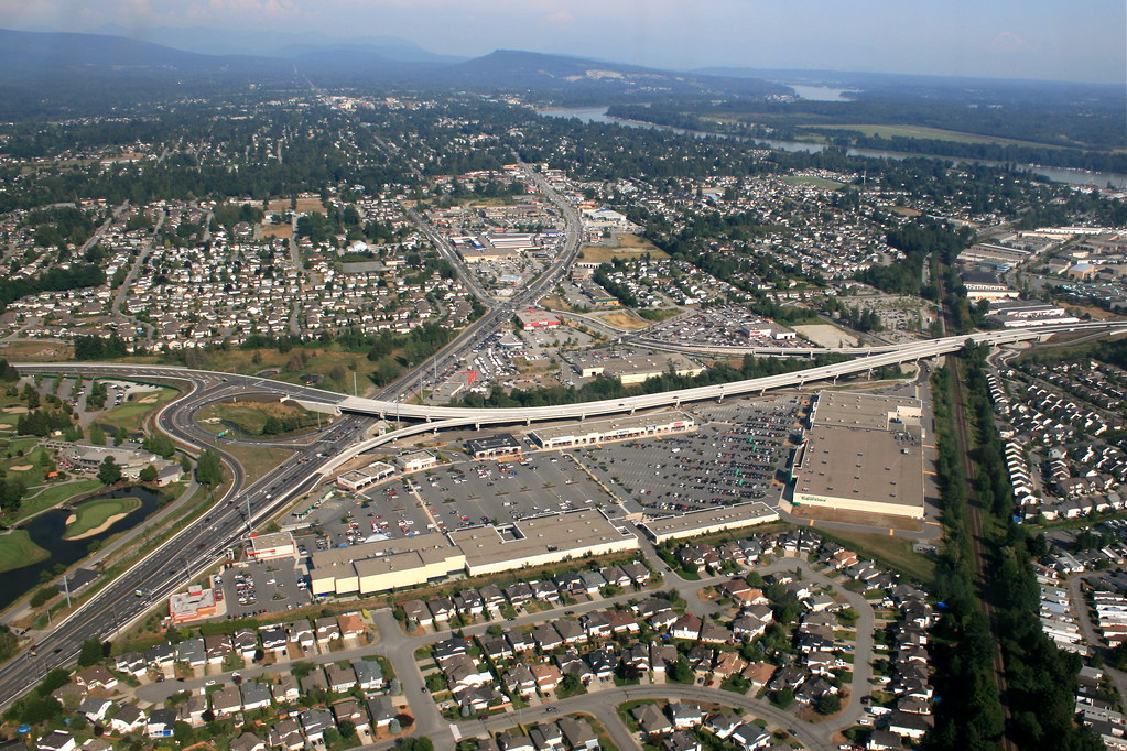
Here you can see the Meadow Ridge Viaduct (this is about 600 meters north of the airport road interchange. You can also see the Lougheed interchange on the north end of it.
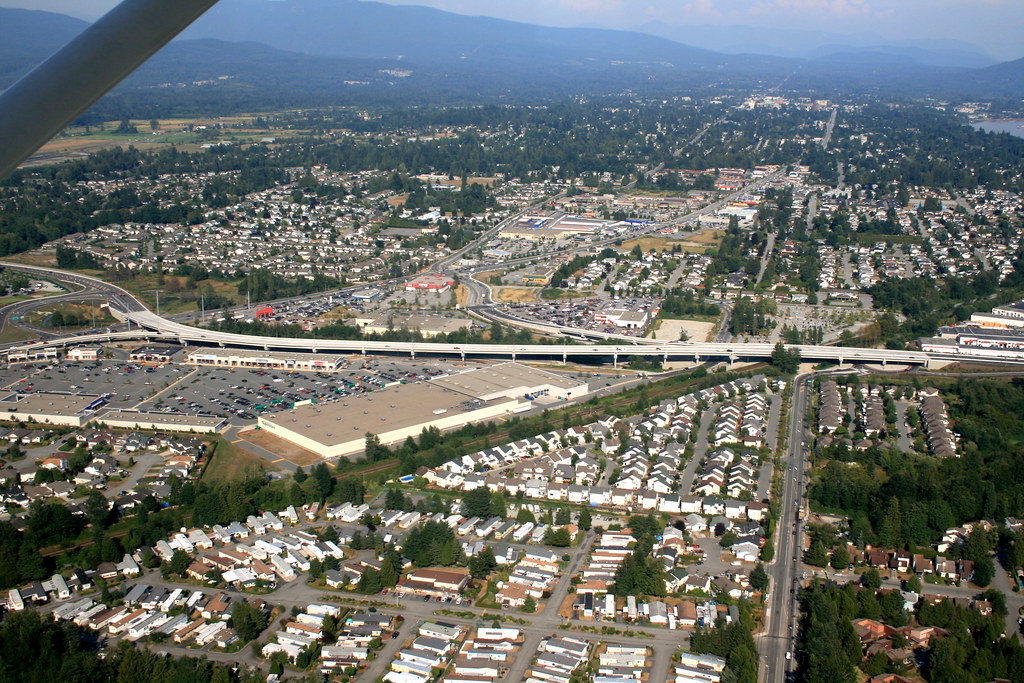
I really like this pic, you can see almost all of Maple Ridge in it (it is looking east)
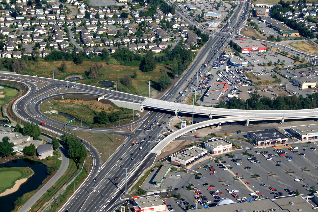
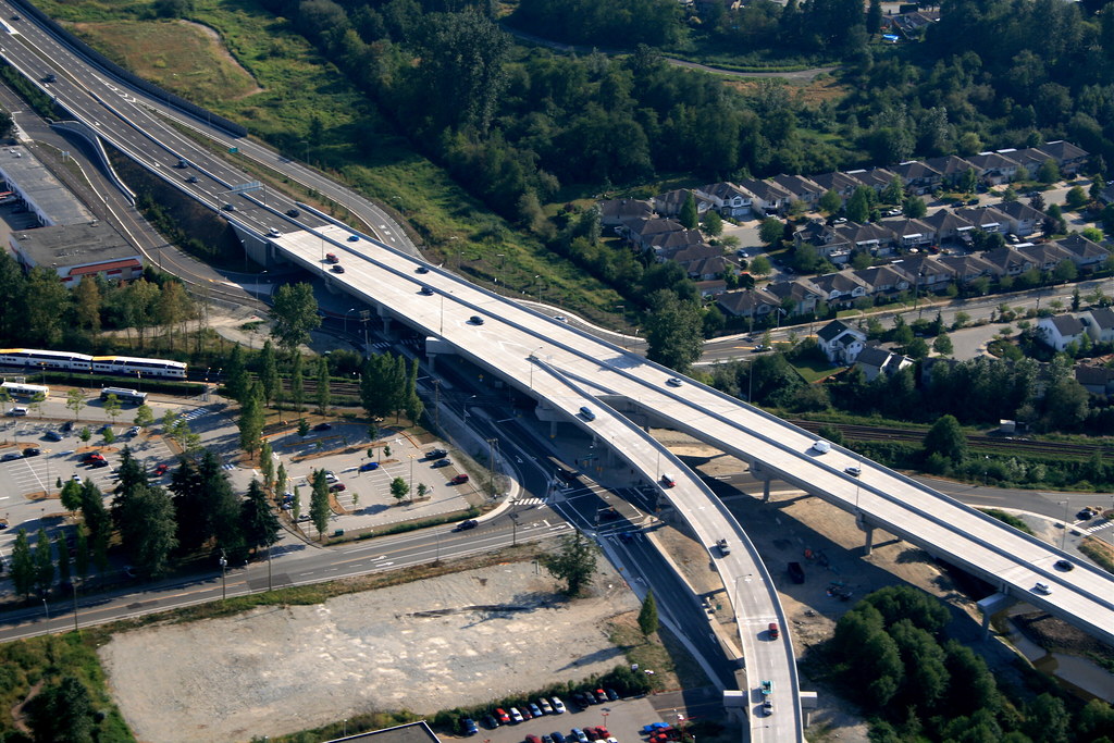
Here is the Lougheed interchange close up. (Can you find Optimus Prime?)
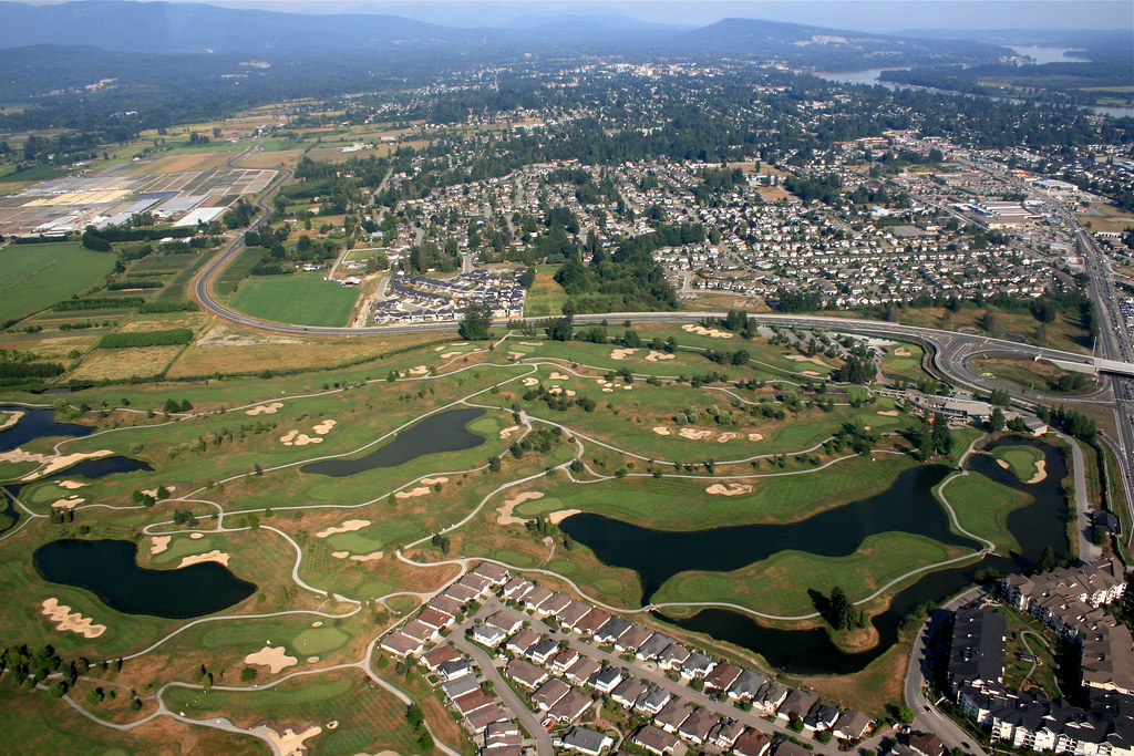
Here is the northern end of the connector you can see making its way through the photo east of Meadow Gardens golf course.
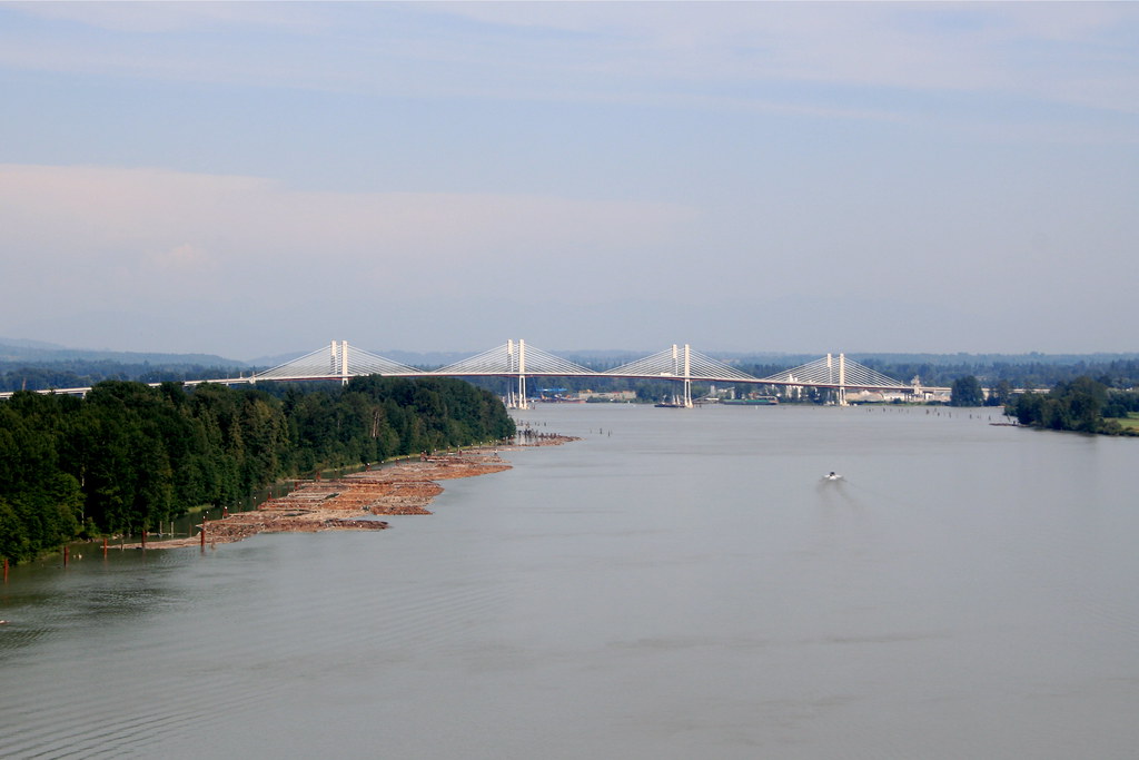
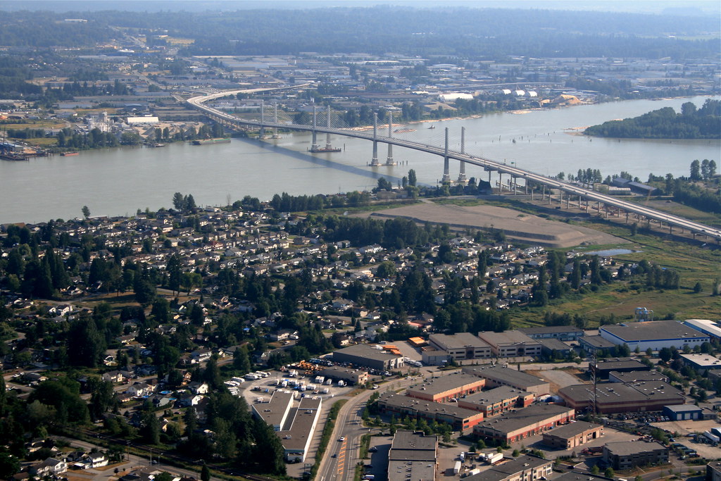
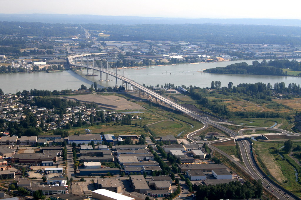
Back to the main bridge structure, this time looking south west.
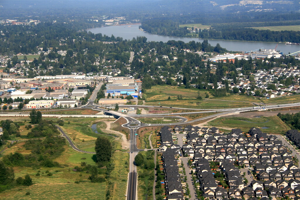
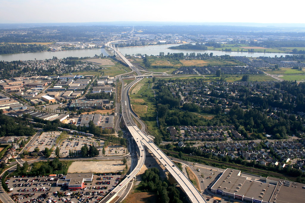
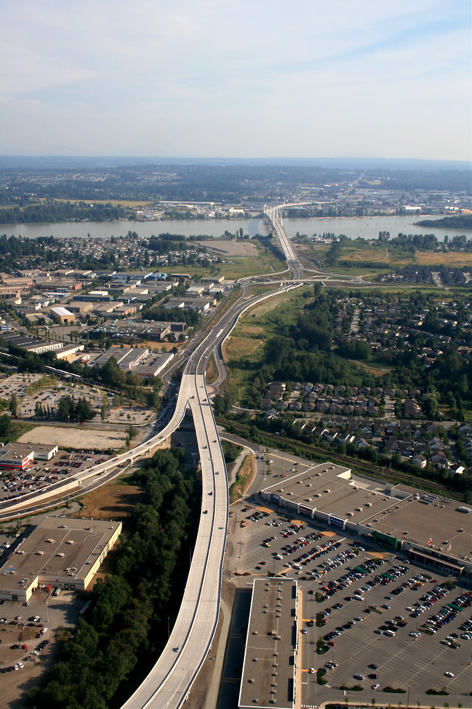
Here is a close up of the south end of the Meadow Ridge viaduct. That is the offramp to Canadian Tire and Staples!
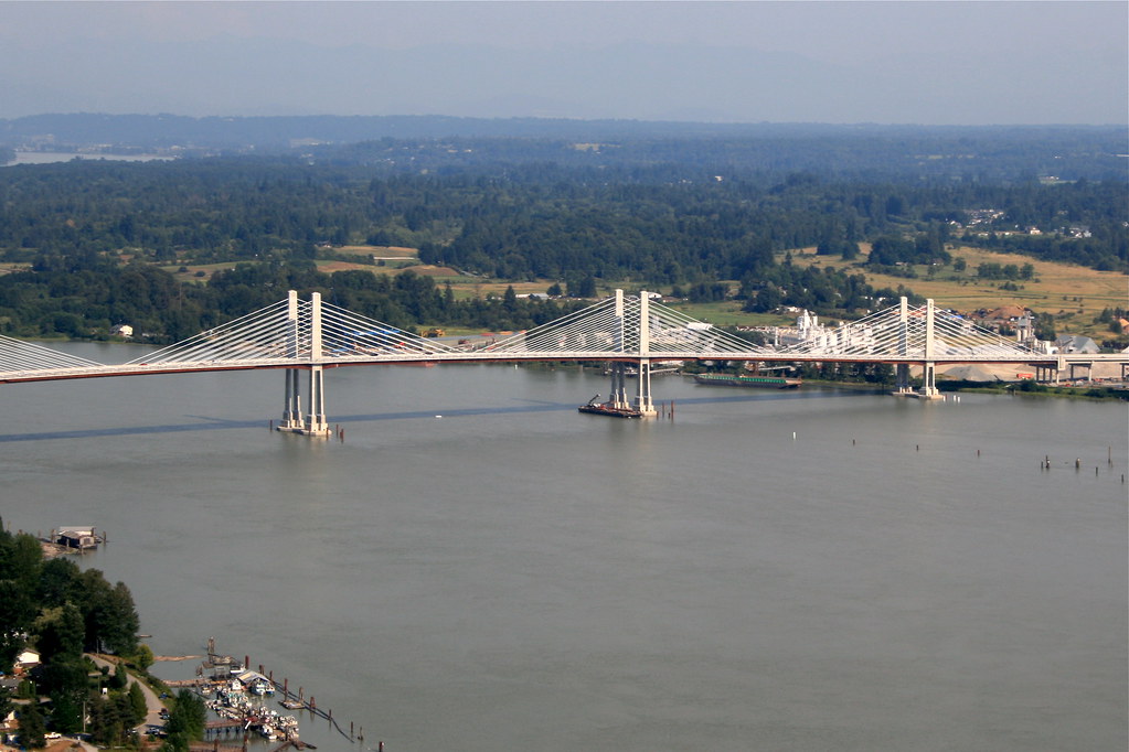
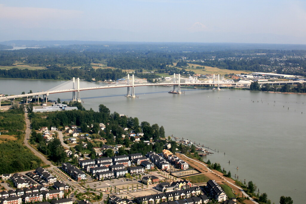
Here are my favorite photos that show a huge chunk of the project from the Meadow Ridge viaduct to the other side of the river. Note that you can also see the West Coast Express at Meadow Ridge station.
And last but not least looking from the heart of Pitt Meadows towards the bridge just before landing. Also note the towers being built.

I hope you all enjoyed these, i plan to post my other ariels later. I also plan to go up many more times. Please no using these for commercial use (i don't think anyone will, but you never know)
Cheers!


 Prev
Prev


 Thanks! On the Maple Ridge side traffic appears heavier on the Lougheed highway (as i suspected) and we have some localized rush hour jams on a few 4 way stops on the side roads now in Maple Ridge (several of them are to be upgraded into signalized and roundabout intersections over the next year). I don't know much about the south end though.


 Linear Mode
