Waverly is the last of these North Baltimore gems! It’s located in between the Oakenshawe and Ednor Gardens neighborhoods, which is what is included in part one,
here! To get you situated, here's a map
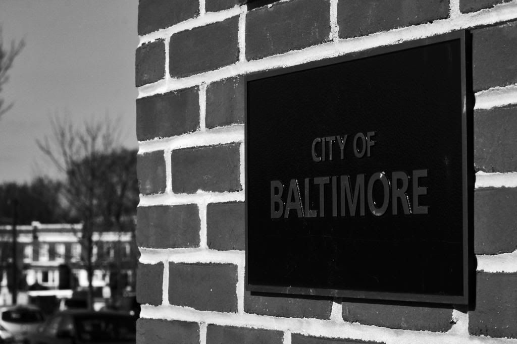
Where in the city it is located
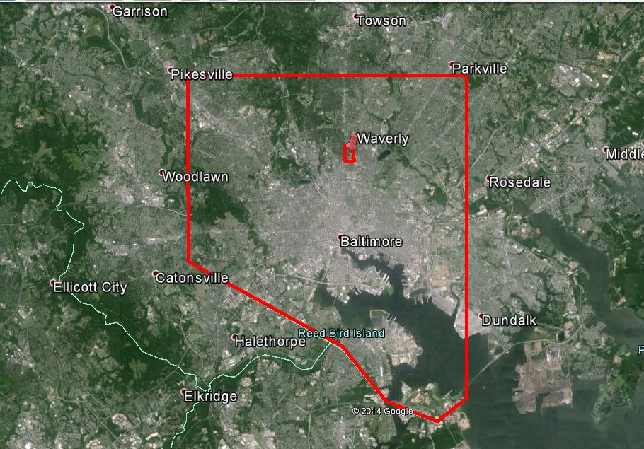
Google Earth
A more local view. Johns Hopkins University is in the southwest corner, Lake Montebello in the Southeast corner.
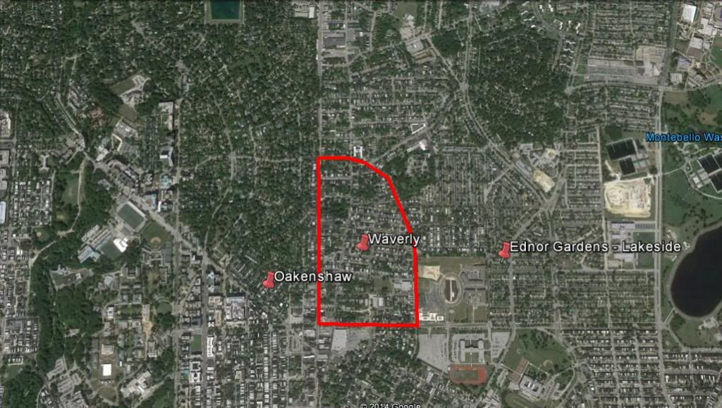
Google Earth
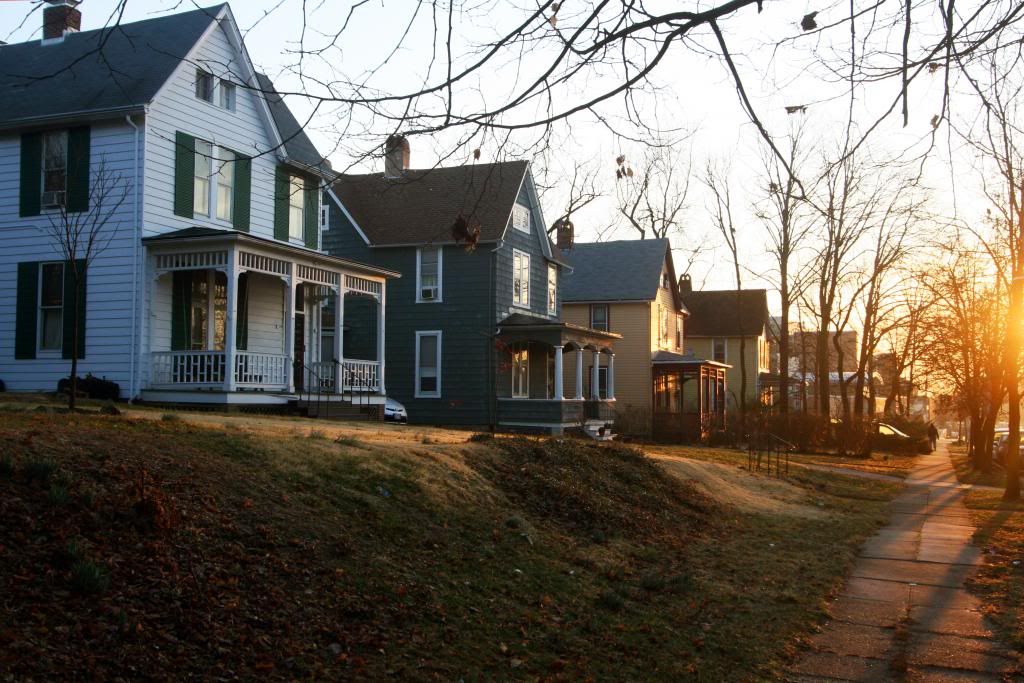
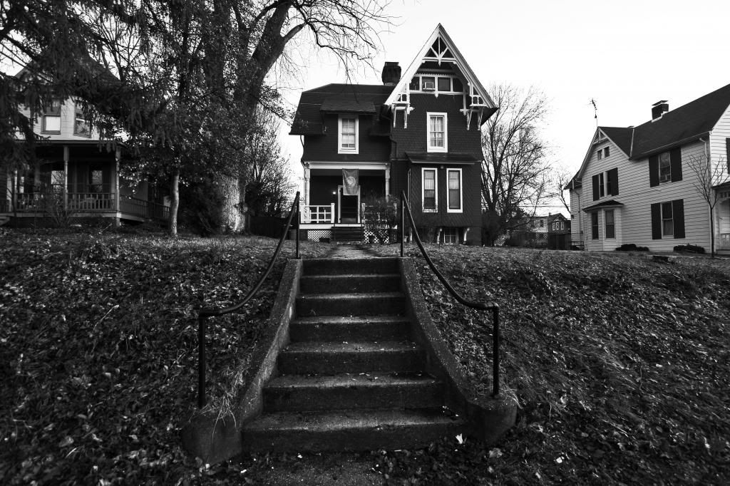
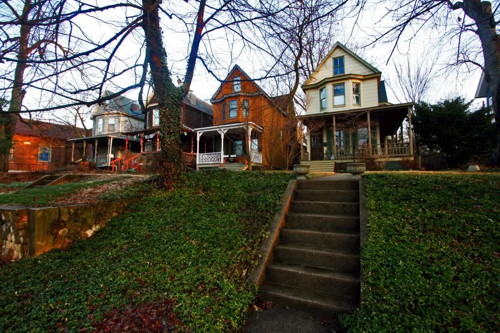
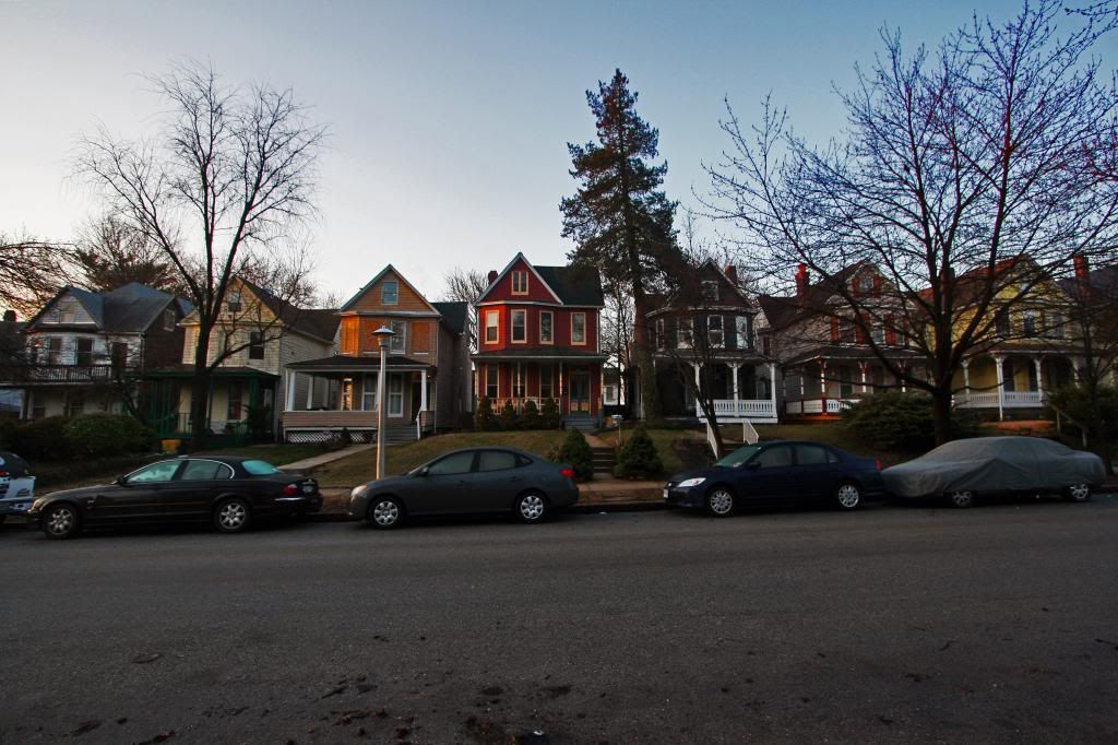
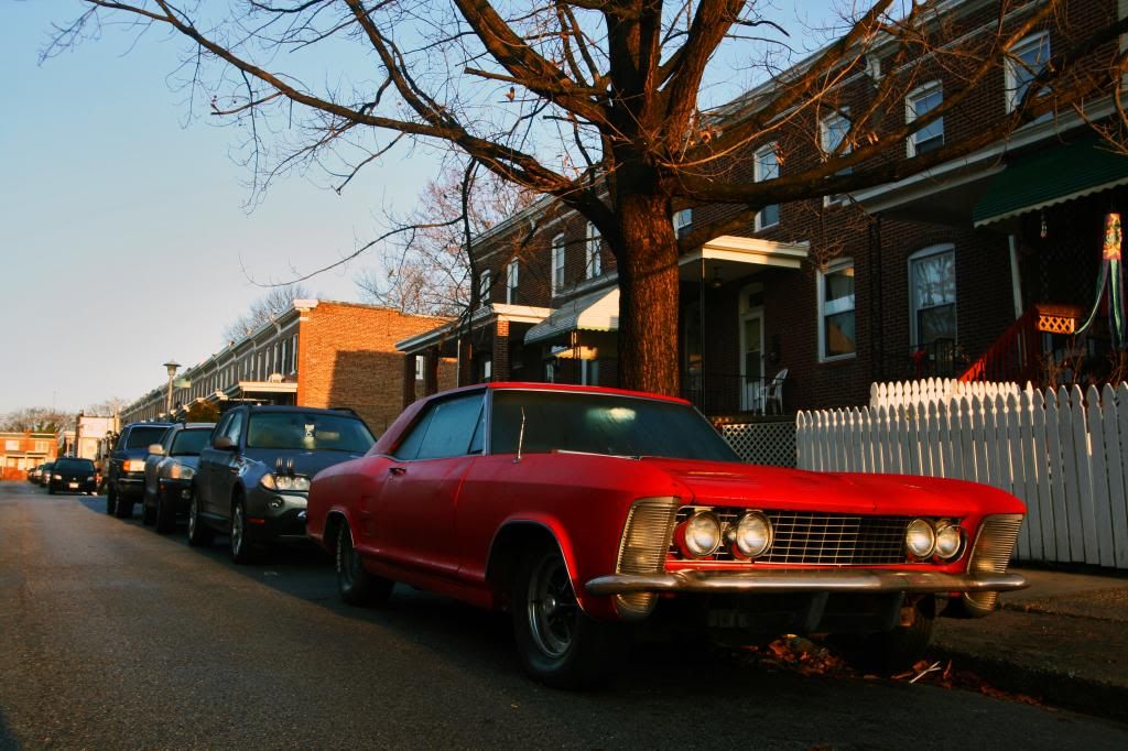
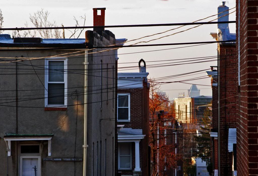
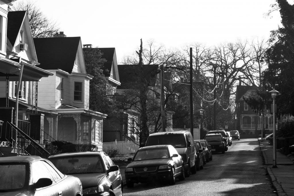
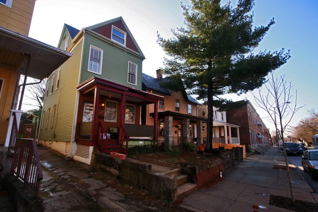
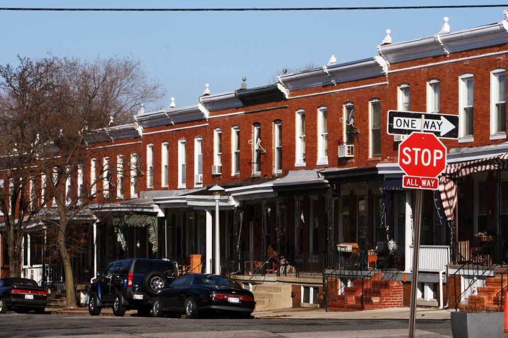
Waverly is an incredibly interesting neighborhood with its architectural diversity. On one block you can have an Italianate cottage from way back bordered by Georgian rowhouses and Victorian single family homes. The neighborhood is less manicured than Oakenshawe and Ednor Gardens but it’s completely relative. It is by no means in bad condition. There were only one or two abandoned houses and I felt completely safe here. Greenmount Avenue even seemed nice here and that’s saying something for the reputation of Greenmount. In this neighborhood there was a historic feel based on the diversity of it. You could tell it was formerly an estate and you could easily see the development patterns of the developers. I really liked the neighborhood. The further south you are in this neighborhood, the more hipsters there are. Many people look to Waverly as a cheap alternative to Hampden. There are lots of peace signs and “grow your own” stickers in this section of the neighborhood. As such, Waverly boasts the Waverly Farmer’s Market on 32nd street. Like its neighbors, Waverly grows in elevation as you move north, providing some skyline views.
Waverly’s origins go back to the early 1800s as the village of Huntingdon. By 1840 it had a shoemaker’s shop, a corn husk depot, a blacksmith, and three small stone houses. The shoemaker’s shop was owned by a Bavarian Immigrant named Jacob Aull whose children built the homes of Huntingdon’s first housing boom (which was very small). Away from here the land that is today Waverly included estates, summer houses, arboretums, and horse farms. Side note: “Waverly” includes two neighborhoods, Waverly and Better Waverly, while I just focused on Waverly, Better Waverly shares the same history and vice versa.
In 1866 Huntingdon got its first major expansion when some land around the village was bought and divided into plots. The village got its first fire house, town hall, and post office, which is when the name of Huntingdon changed to Waverly in order to avoid confusion with other Huntingdons. Waverly was chosen after Sir Walter Scott’s first novel, Waverly. By the end of the century Waverly and the nearby communities of Homestead, Oxford, and Friendship had become summer retreats for the wealthy to get away from the city. Eventually the idea of permanently moving here became popular as transportation along York road became better, allowing for easy commutes. In the 1870s, horses pulled double-decker buses along iron tracks and by the 1890s, electric powered streetcars replaced this system. This improved transportation blurred the lines between where Waverly ended and Govanstown and other communities began due to increased development along this transit corridor.
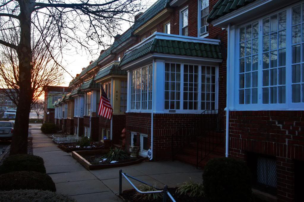
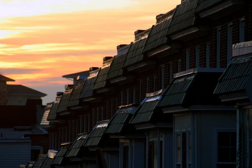
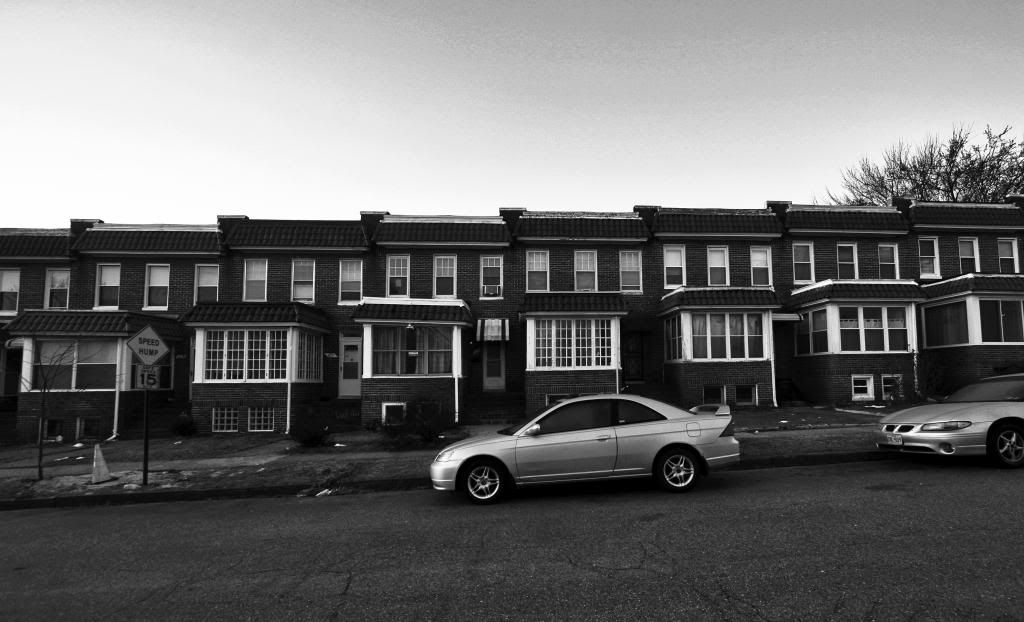
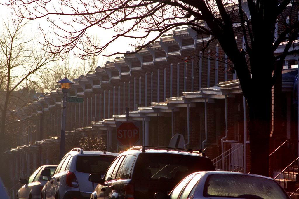
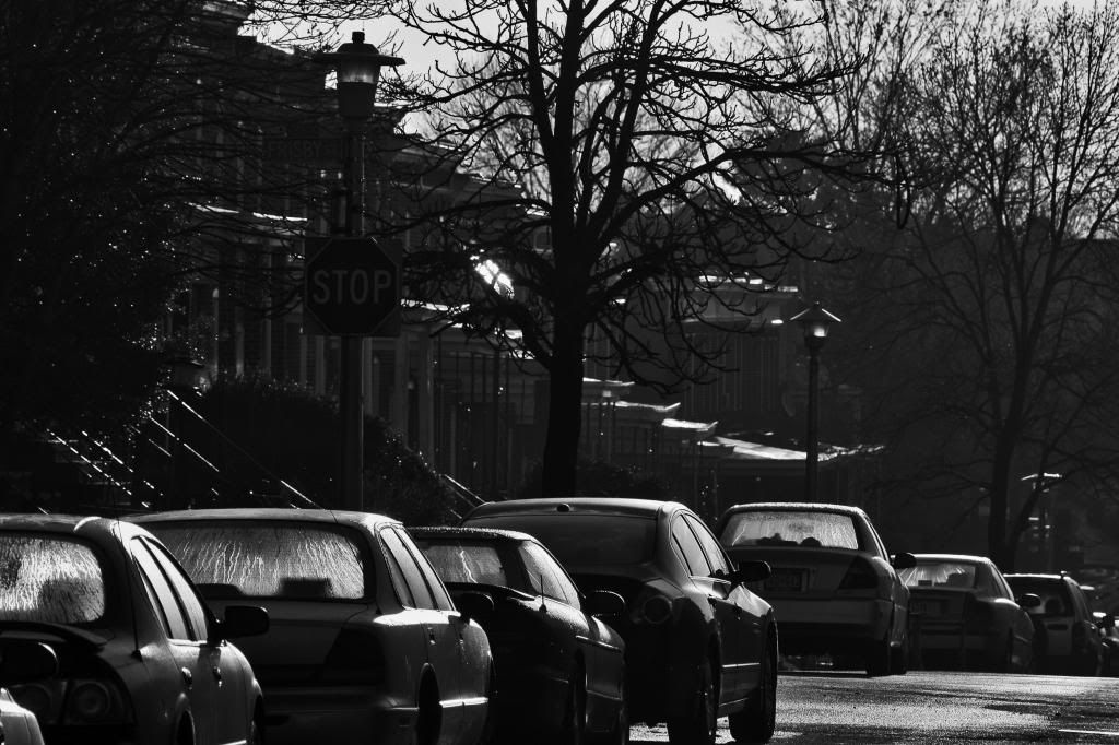
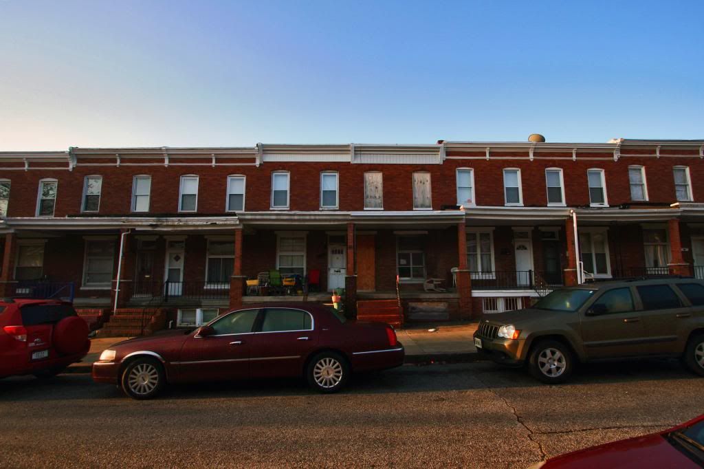
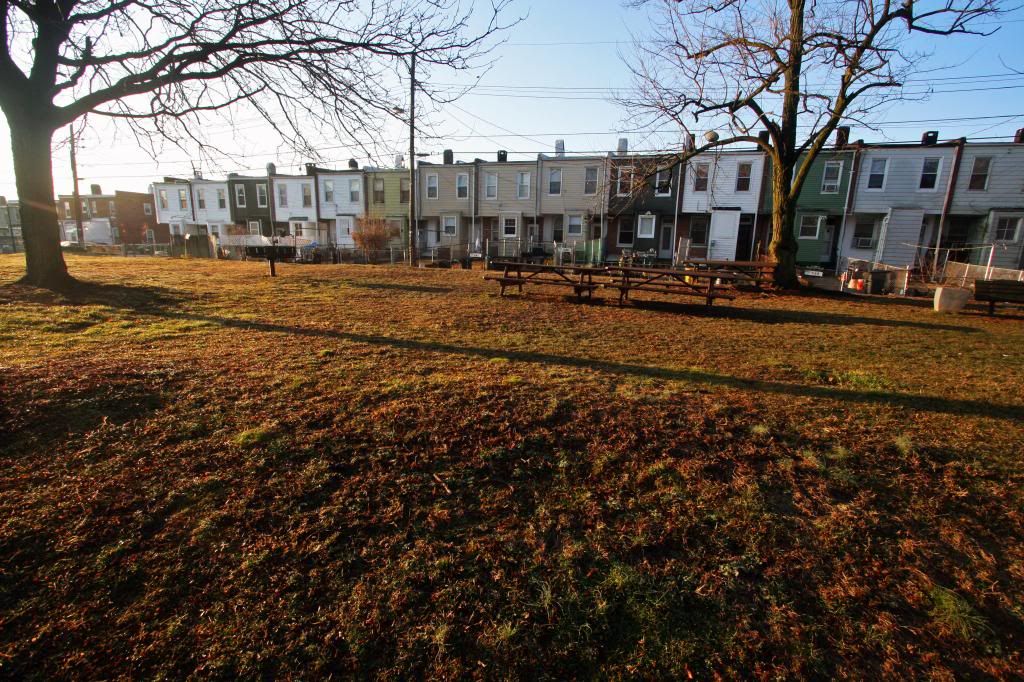
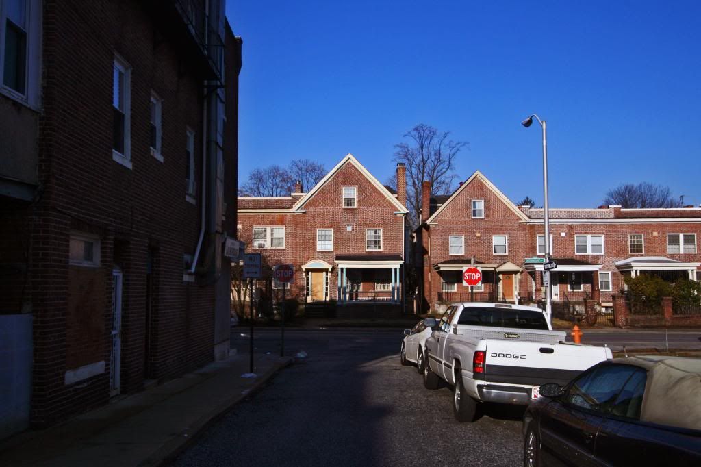
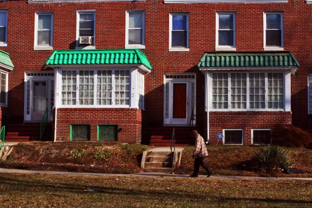
Between 1880 and 1890, there were four times as many houses constructed as had existed previously. These homes were detached and semi-detached Victorian homes popular at this time, of which the Waverly historic district covers (only one block!). The next big wave of development happened during and after WWI. Brick rowhouses became the predominant feature of the neighborhood. To be specific, “on 38th Street east of York Road, the Welsh Construction Company built rows of bay window-front houses in 1917, advertising that they adjoined Guilford. The Rochester Home Building Company built daylight house son 36th Street in 1920 and the 700 block of Melville Avenue in 1925. Houses at Ellerslie Avenue and 38th Street were built in1929 by Phillip C. Mueller who had previously developed Oakenshawe.” The last wave of development occurred right before the great depression. The neighborhood then declined greatly and was subject to a major conservation study that determined that rehabilitation, not demolition, was the best way to revitalize a neighborhood.
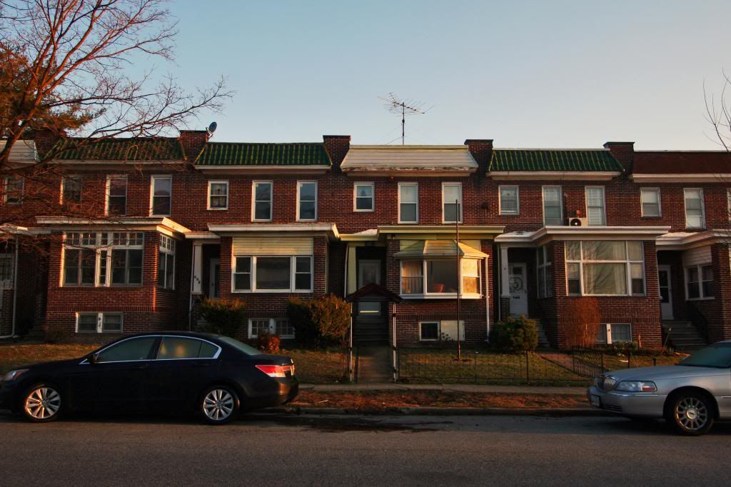
1. Daylight Rowhouses, a key architectural development in Baltimore in the 1920s. Easily identified by their enclosed front porches, these architectural adaptation to changing tastes of Baltimore residents for more suburban-style rows with space are defined by the amount of windows and therefore sunlight that illuminates these icons. Waverly has plenty of them!
2.
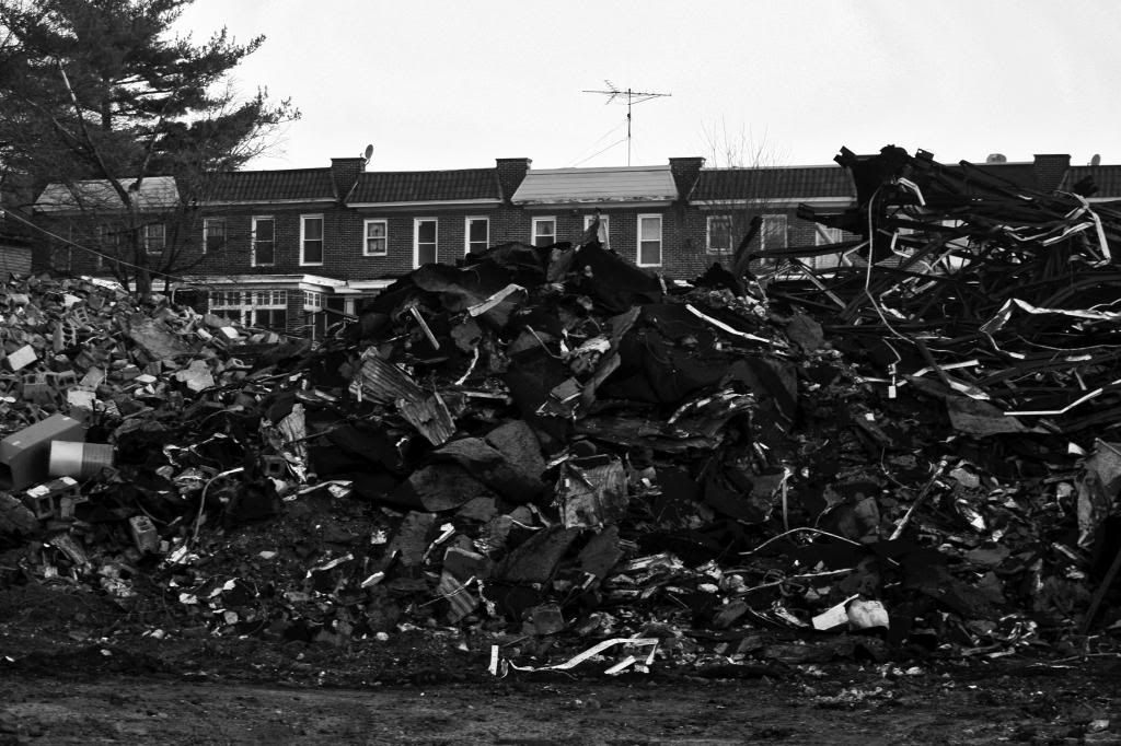
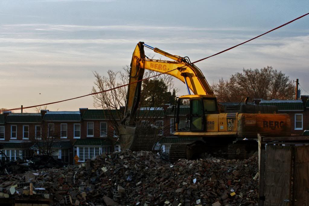
3. The demolition of Waverly Elementary in progress
4.
5.
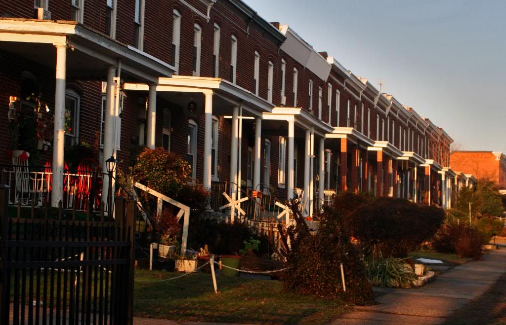
6. The next few photos are from the Waverly Historic District
7.
8.
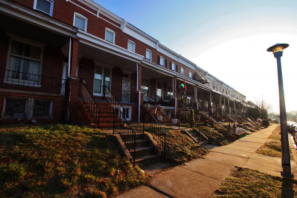
9. The district dates to the late 19th century. The house with the boarded up windows isn't abandoned, it's just getting new windows. This is the most expensive section of Waverly
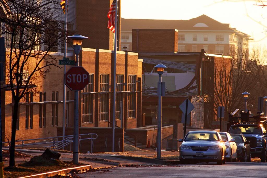
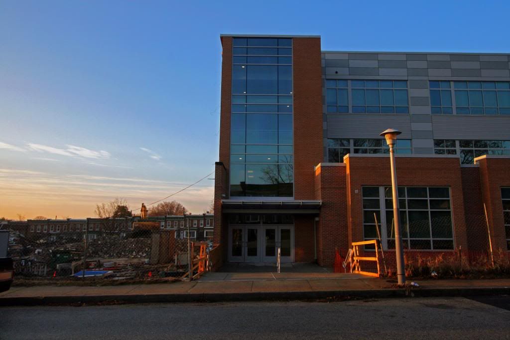
10. The new Waverly Elementery-Middle School
11. Variations of the Daylight or "Airlight" rowhouses
12.
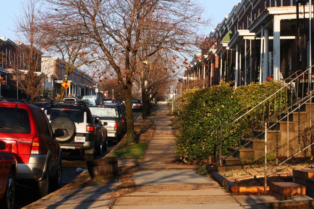
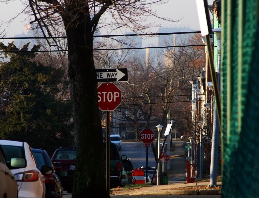
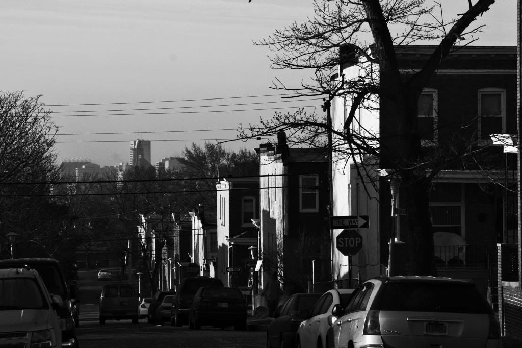
13. Moving north through the neighborhood
14.
15.
16.
17. The elevation is highest in the central part of the neighborhood, sloping towards both Ednor Gardens and Oakenshawe
18.
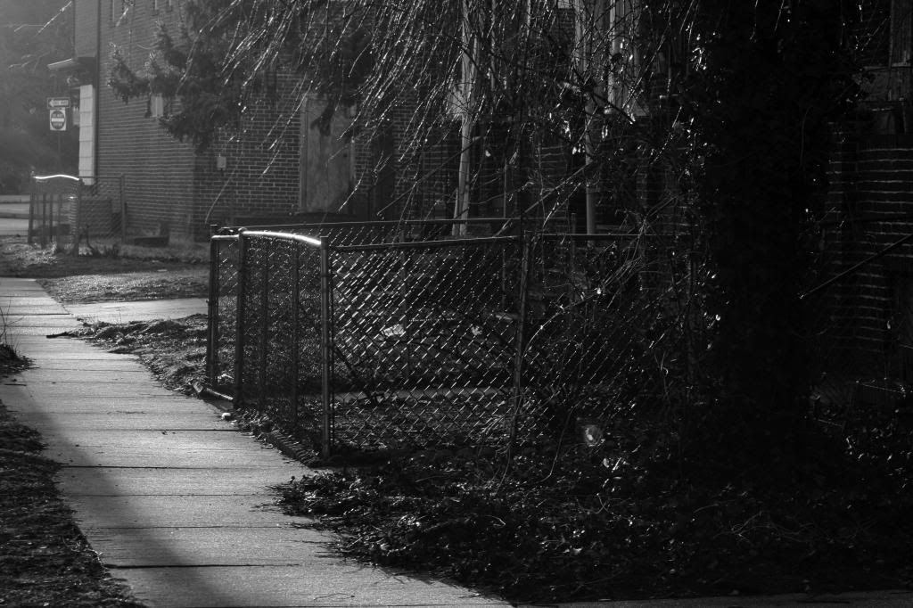
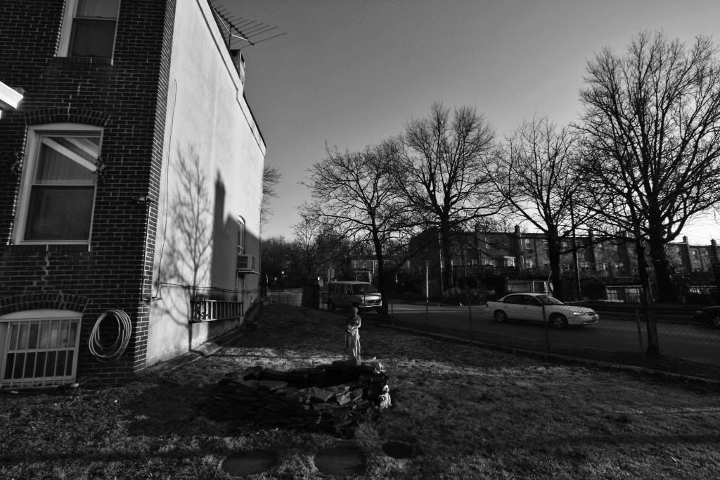
19. Abandonment is not a major issue of this neighborhood, but there are a select few examples
20.
21.
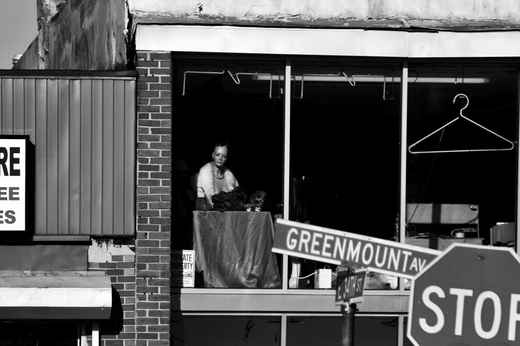
22.
23. The Alex Brown Building peaking into Waverly
24.
25.
26.
27.
28.
29. English tutor-inspired rows popular around the same time that the daylight rows were constructed

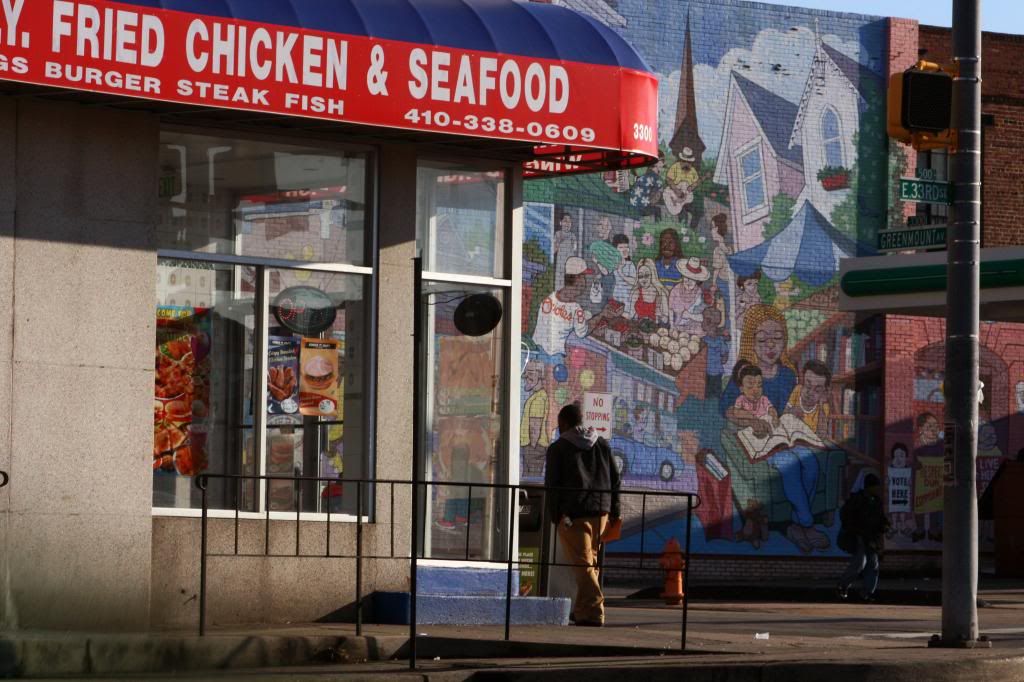
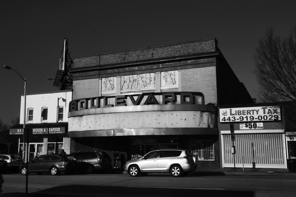
30.
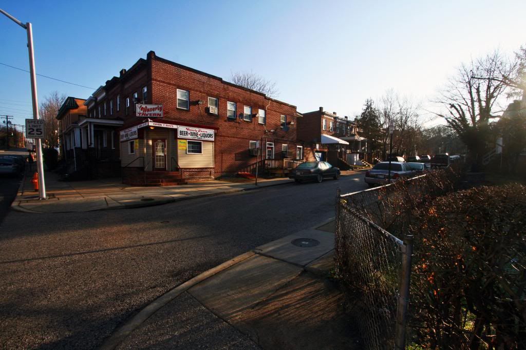
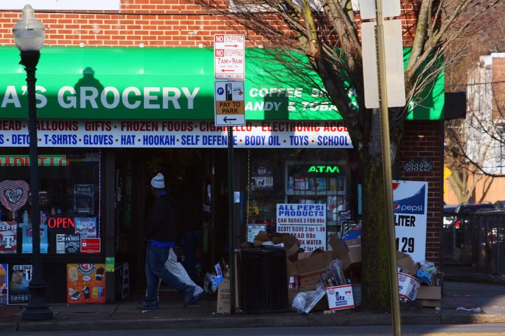
31. Greenmount Avenue is where the commercial district in this neighborhood is located
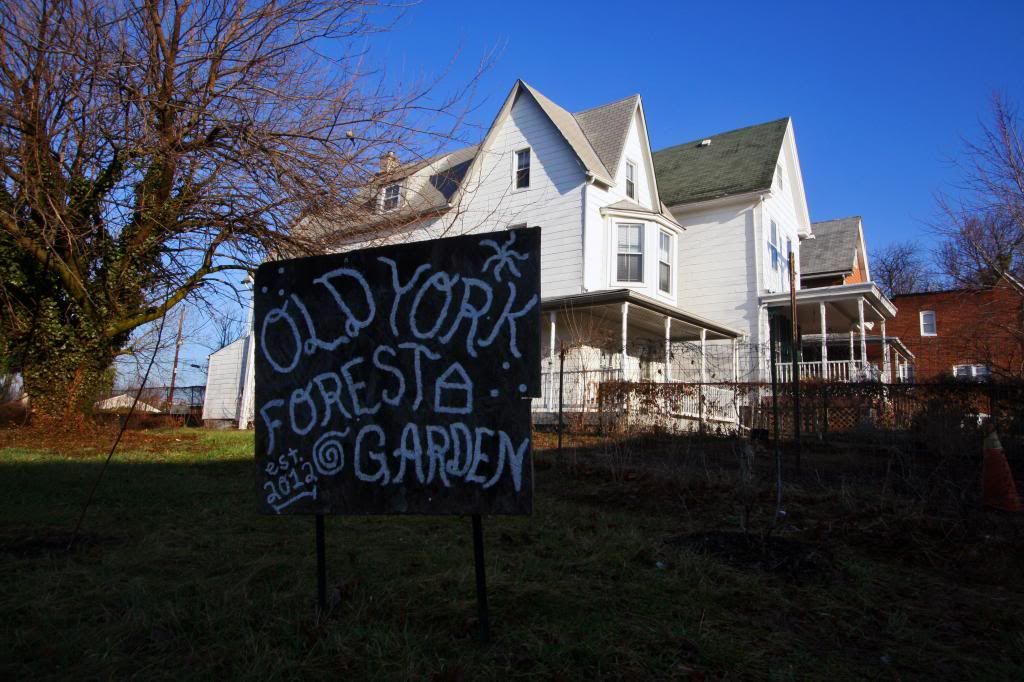
32. Community Garden
33.
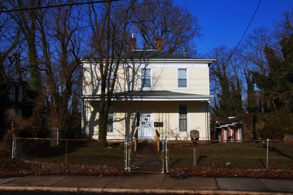
34. An old estate house
35.
36.
37.
38.
39. The Boulevard Theater on Greenmount Avenue. Compared to the Waverly theater a block south, the Boulevard was considered higher style. It opened in the 1920s and closed in the 80s. It's been completely gutted and multiple businesses have occupied the building since.
Some historical shots:
a.
 http://looking-for-mabel.webs.com/leosielkephotos.htm
b.1980s
 http://cinematreasures.org/theaters/5566
40.
41.
42.
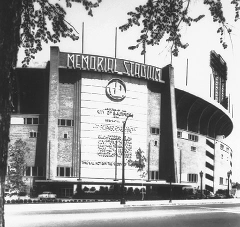
And now we get into the Memorial Stadium site, which lies adjacent to Waverly to the east, south of Ednor Gardens, and west of Lakeside. This plot of land was home to Memorial Stadium
a. 33rd street entrance
By George Blakeslee,
http://www.paultravers.com/photo_gallery.html
b. Aerial showing Ednor Gardens in the background with Waverly to the left
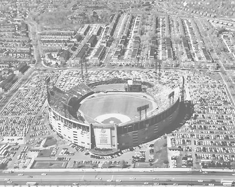
By George Blakeslee,
http://www.paultravers.com/photo_gallery.html
c. It only lasted half a century
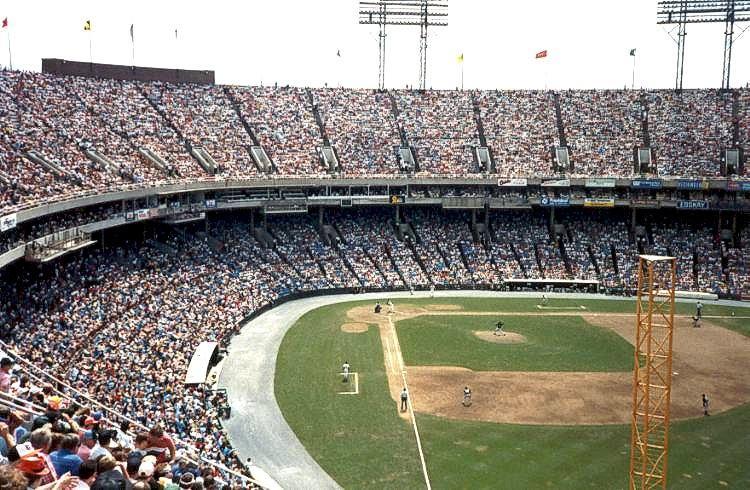 http://www.ballparksofbaseball.com/p...ialStadium.htm
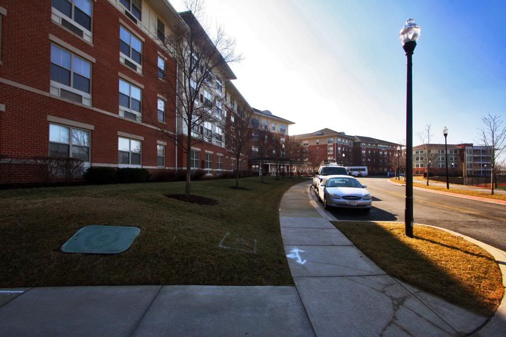
43. Stadium Place is what replaced memorial stadium. It's a senior citizen development
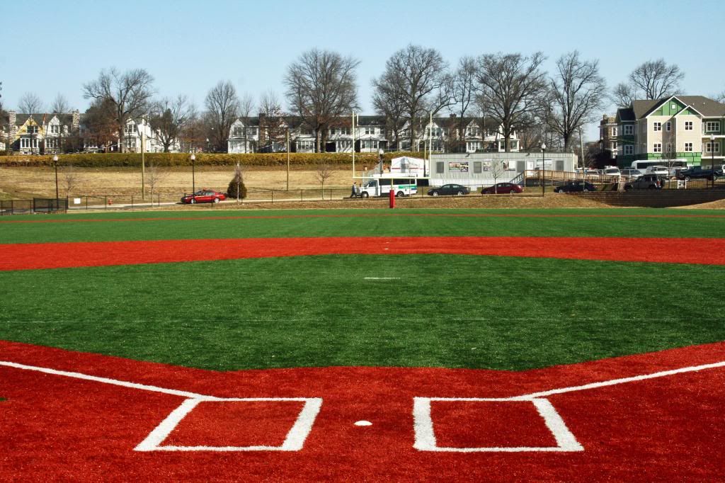
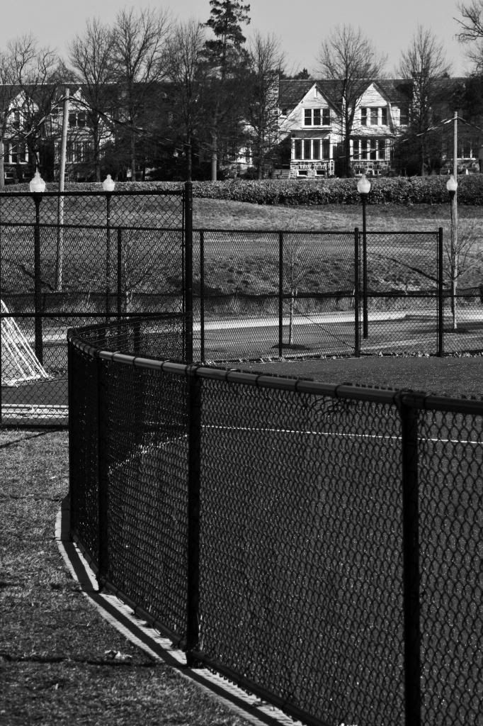
44. But there is a field here for baseball or football.
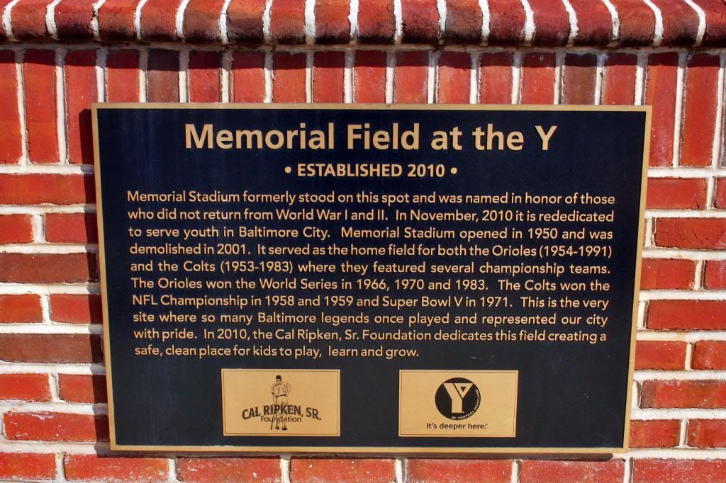
45. Here's the plaque
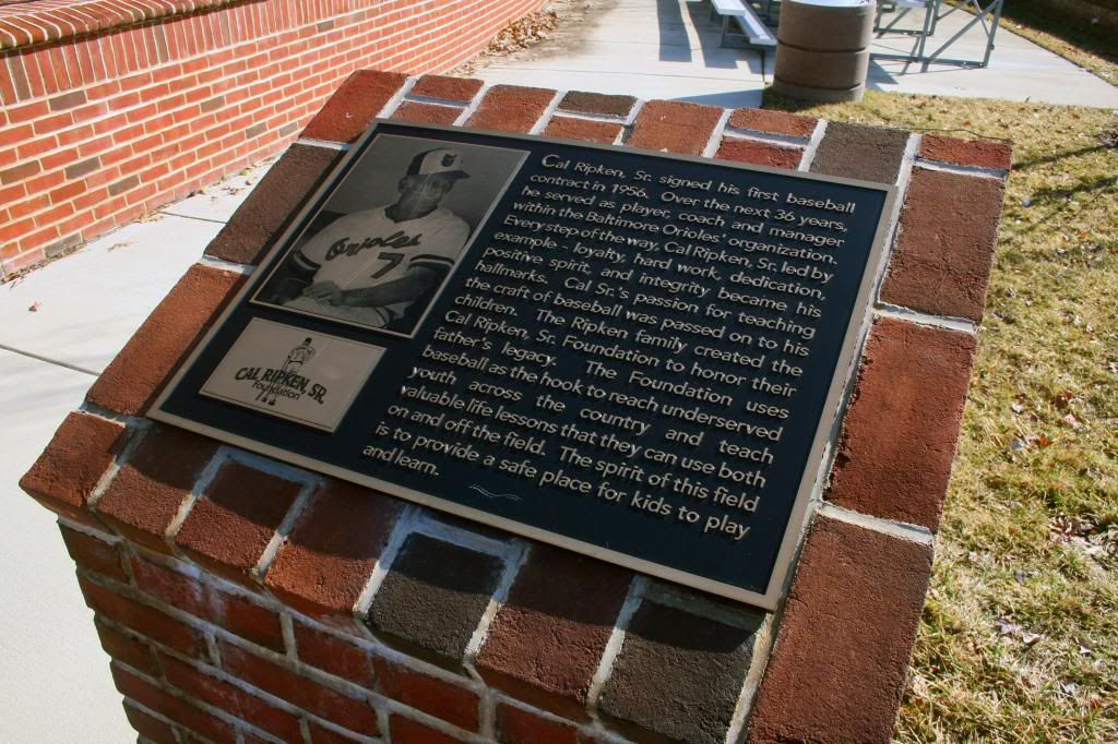
46. And another
47. Ednor Gardens in the background
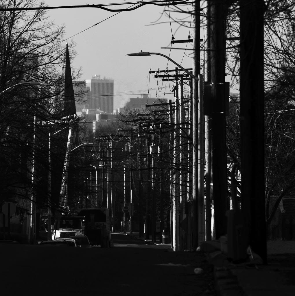
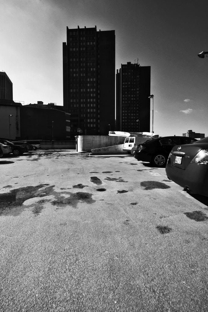
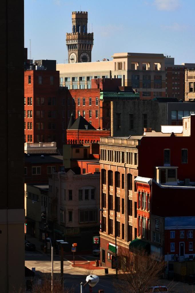
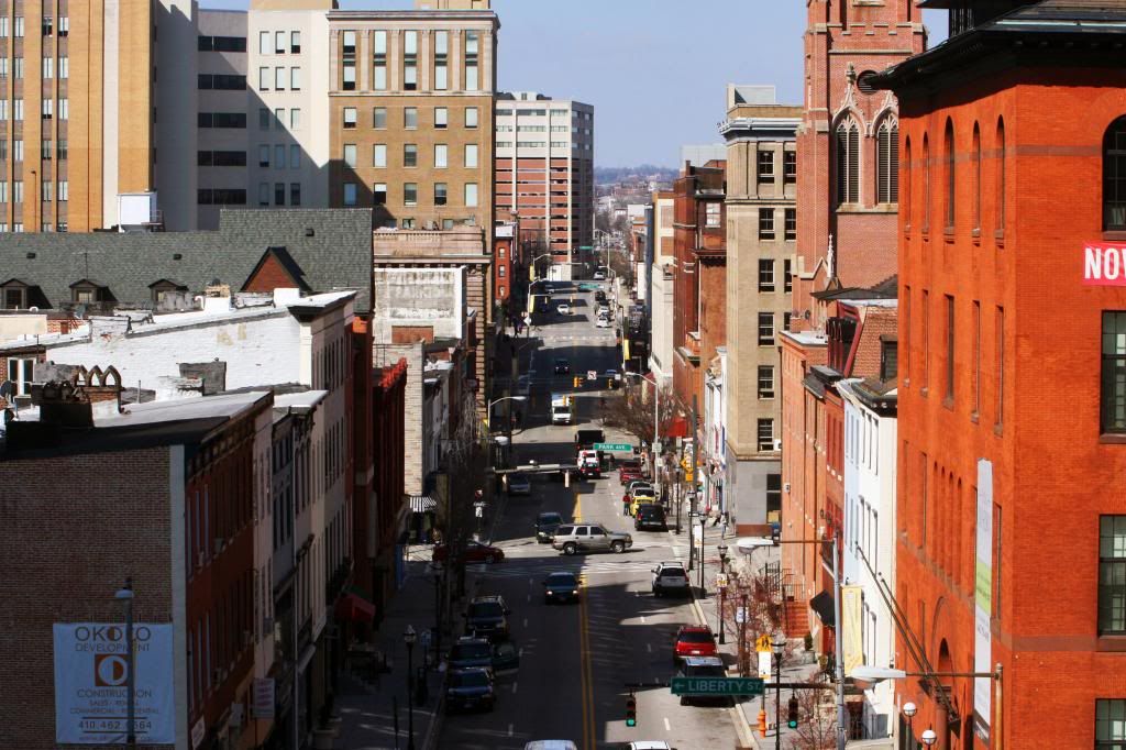
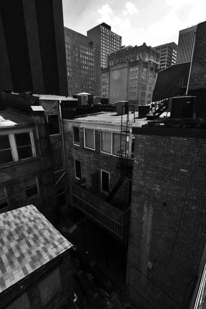
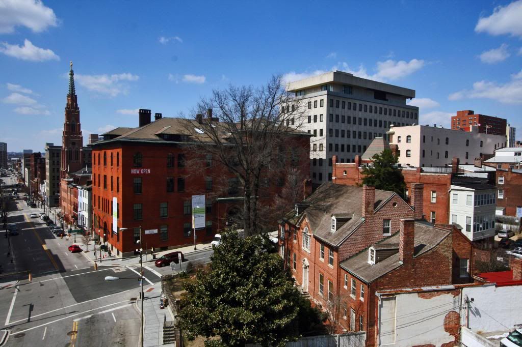
48. And just some random downtown shots
49.
50.
51.
52.
53. Fin


 Linear Mode
