I can't remember the last time I was up in Canada for Canada Day. It might have been 20 years ago. With Canada celebrating its 150th anniversary, I just had to go up for it. I used the trip up to also spend time at our family cottage on Lake Erie, in Port Colborne.
In addition to regular photos with my normal point-and-click camera, I also am adding some pictures with my underwater camera, and I'm including some saved pictures from my Snapchat account. The filters/stickers have a little bit of some historical context, especially for that weekend, and I think they are worth preserving. I think I may be the first person on here to include Snapchat filters and stickers in a photothread!
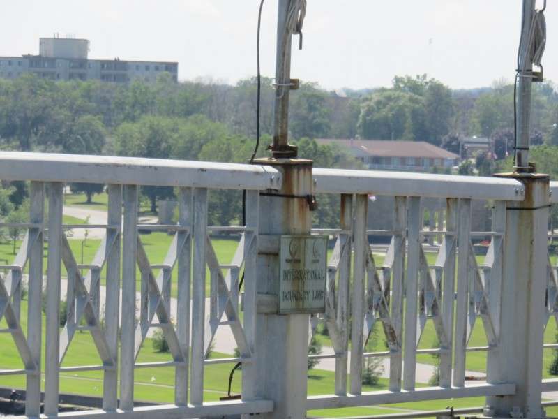
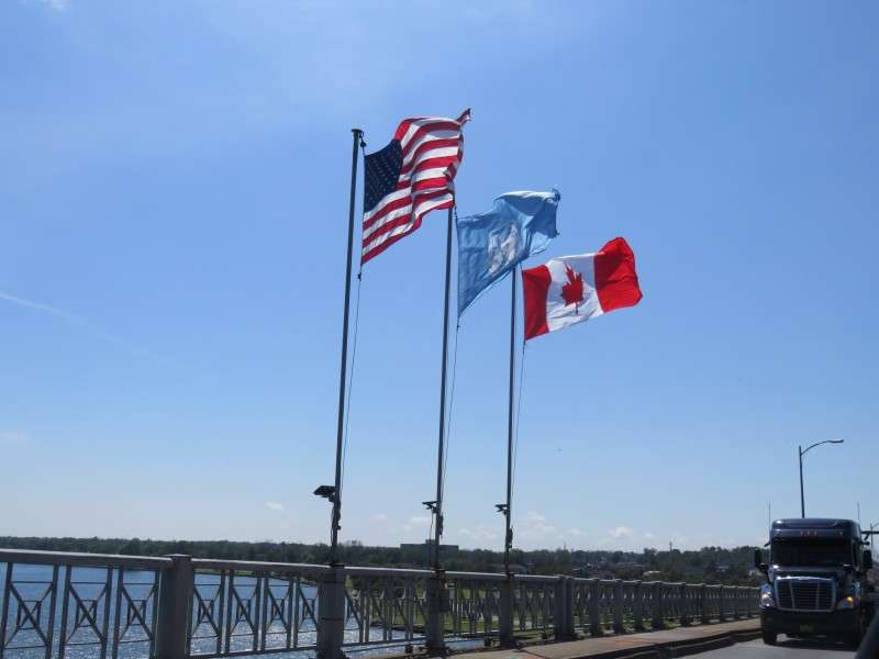
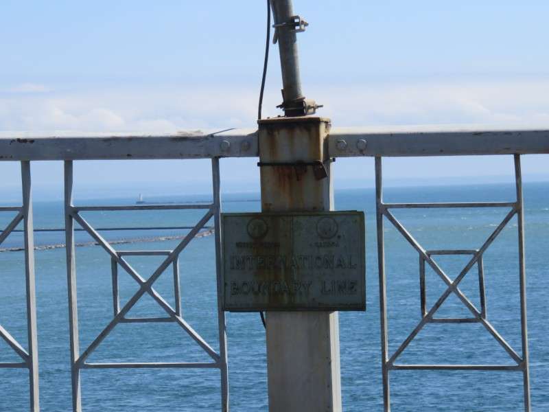
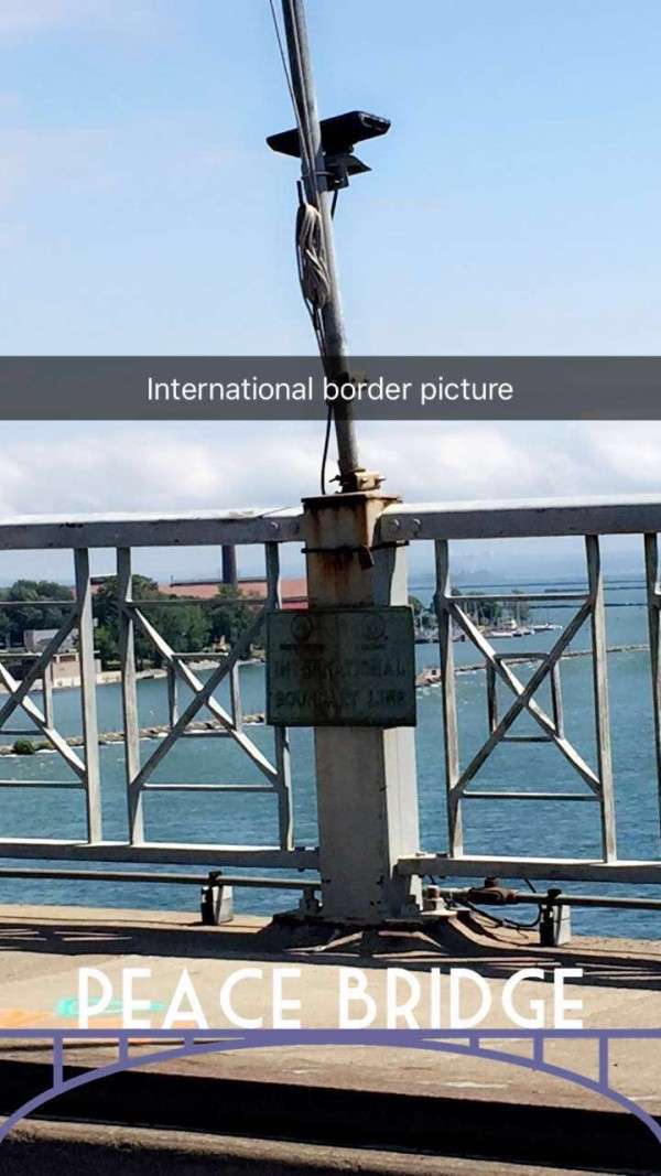
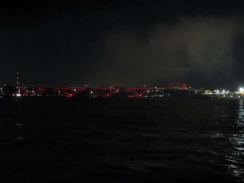
We start at the US/Canada border, on the Peace Bridge between Buffalo and Fort Erie.

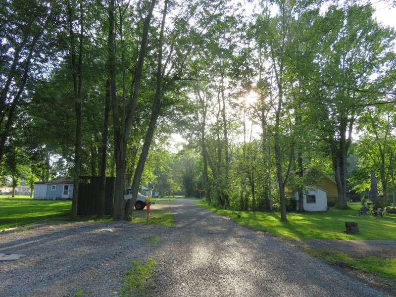
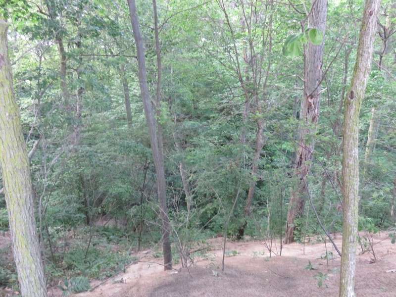
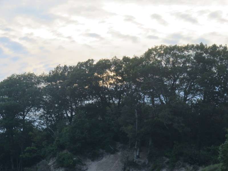
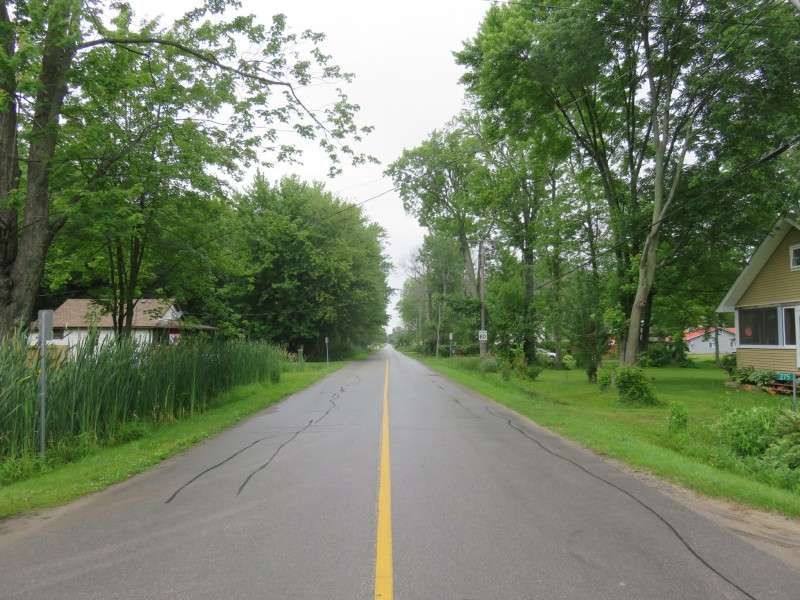
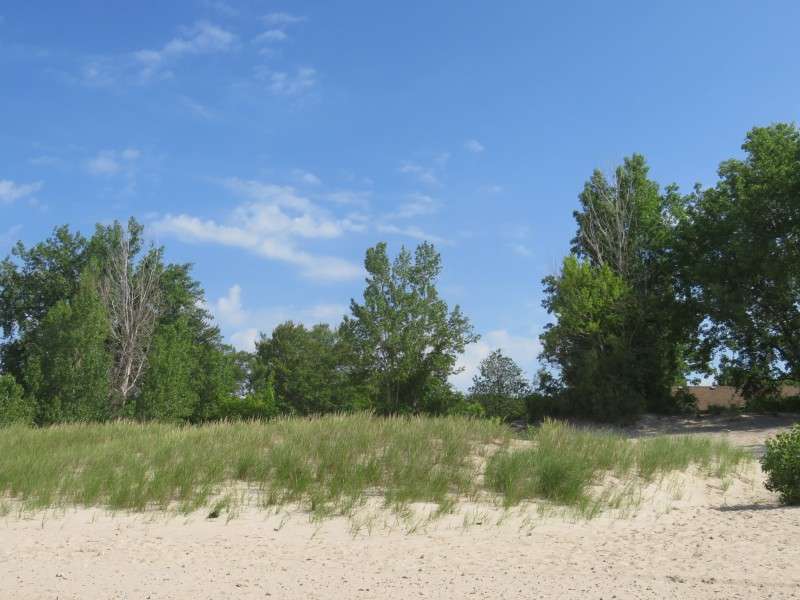
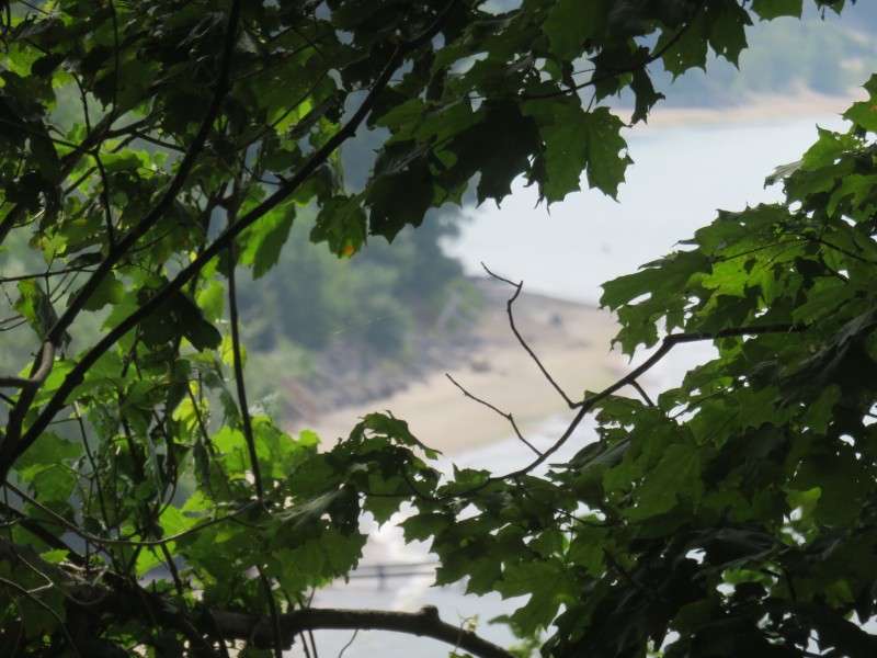
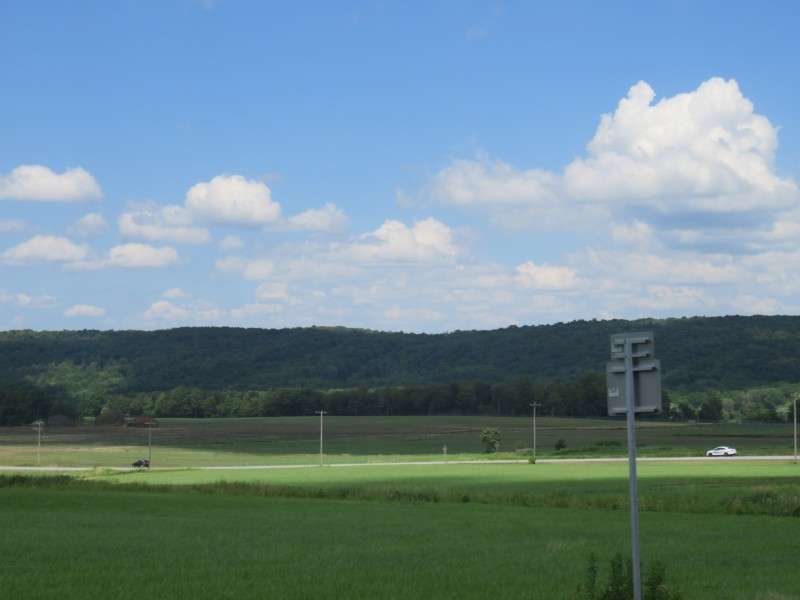
I can't remember ever being in Canada in June. I was in Ontario for Memorial Day weekend a few years earlier. Here's what the trees look like in late June, as summer begins to peak.


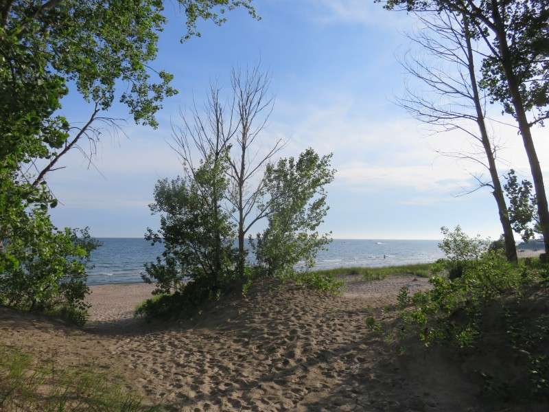
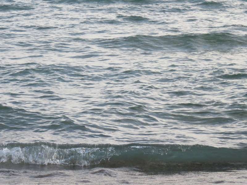
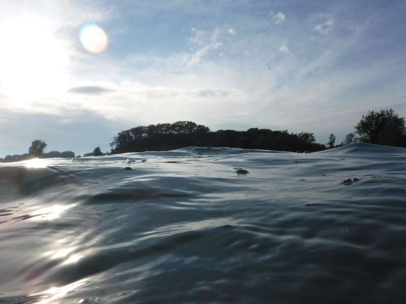
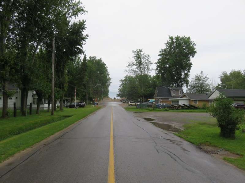
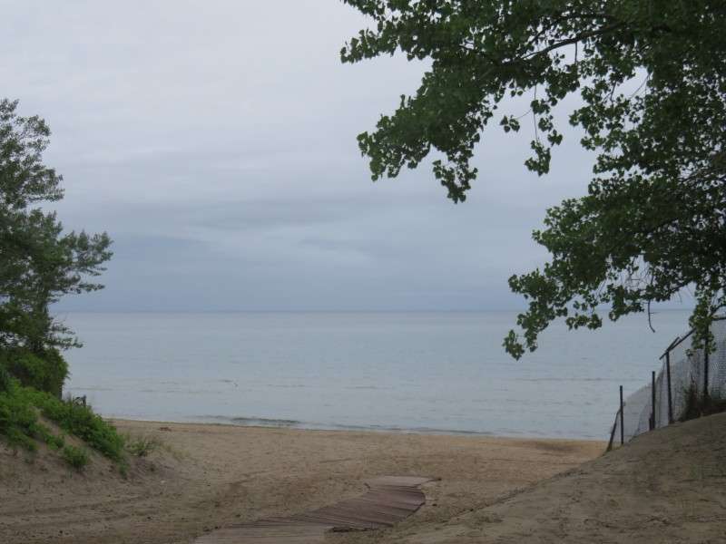
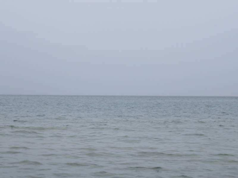
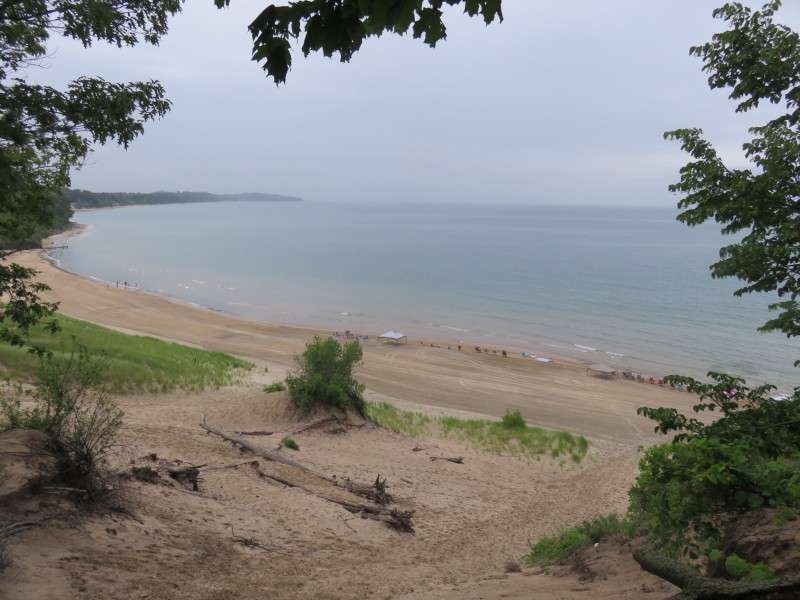
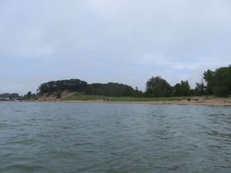
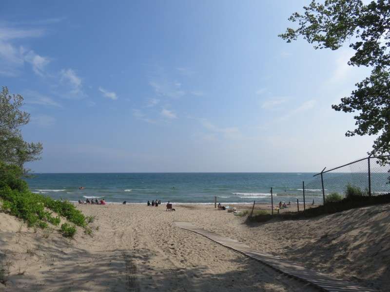
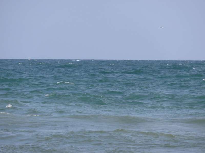
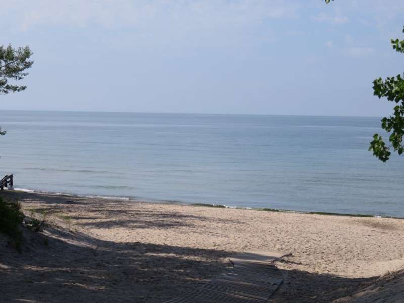
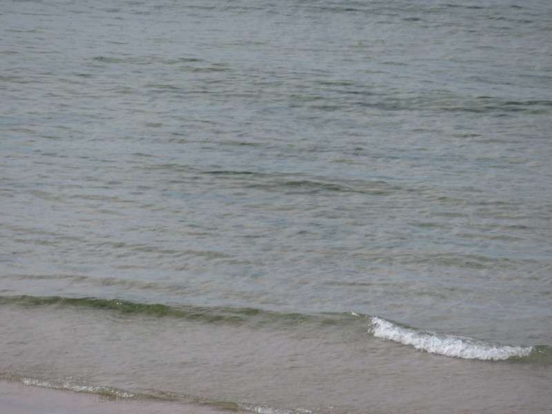
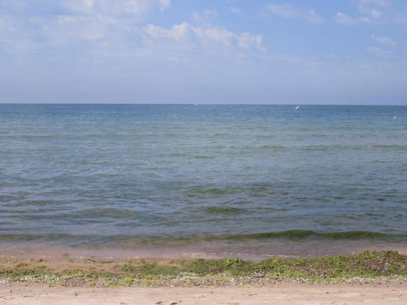
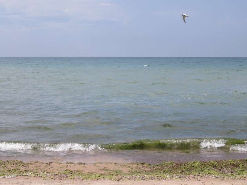
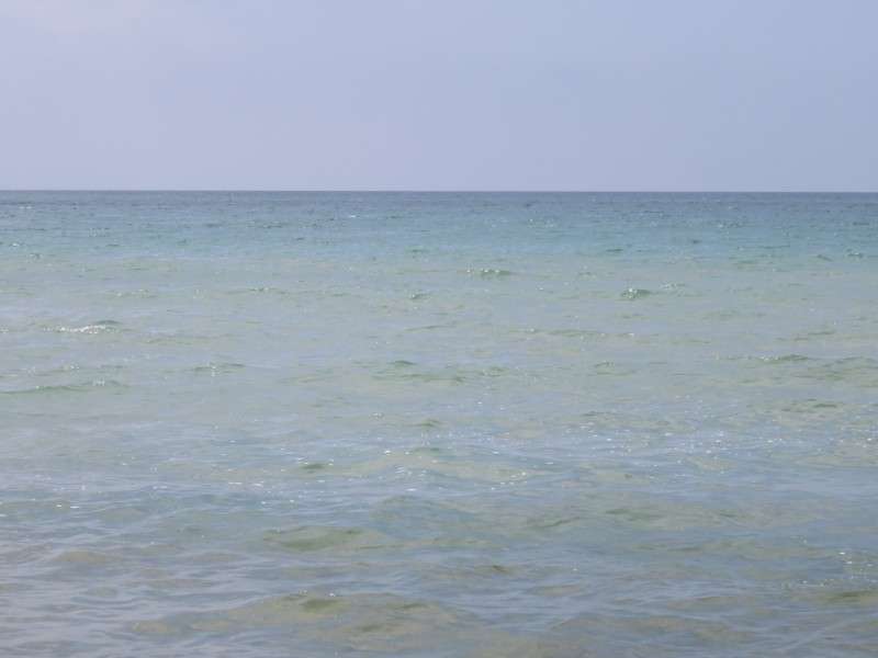
I ran straight to the beach once we arrived at our cottage. I took pictures all over the place: of the cool, crisp water still a little chilly from the spring; the haze on the lake from the warm air condensing when touching the colder water; and the sun, farther north than I usually see it in the summer.

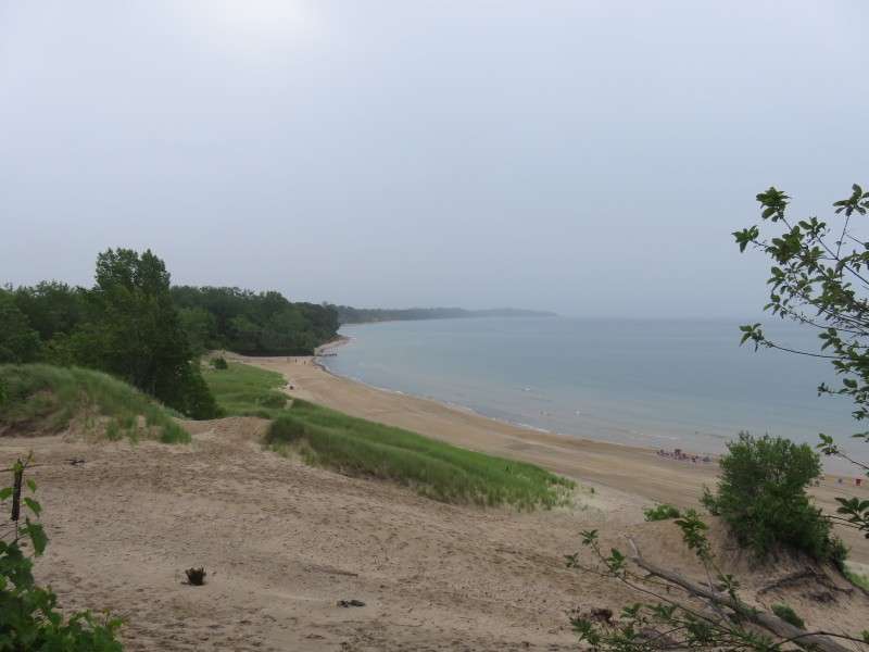
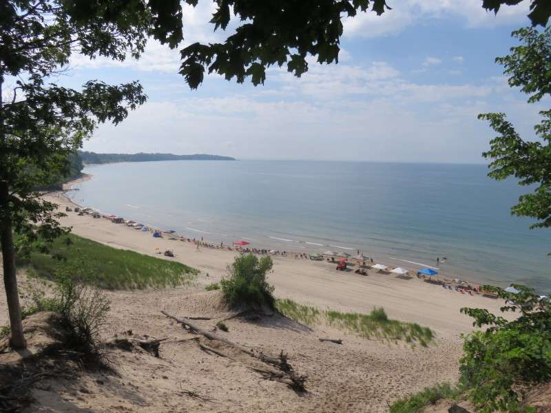
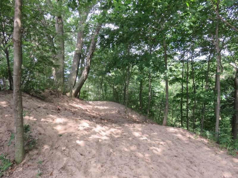
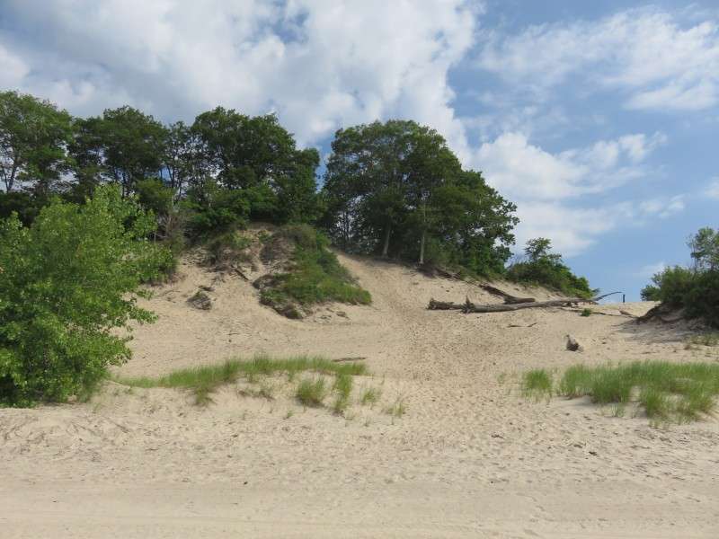
I went up on the big sand dune at our beach. My crude estimations put it at 90 feet high. Some day I'll measure its height more properly.

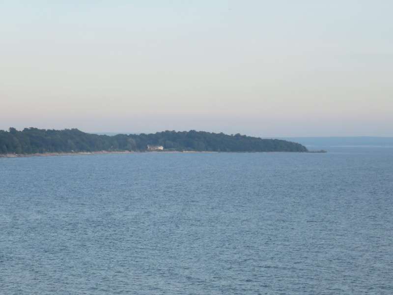
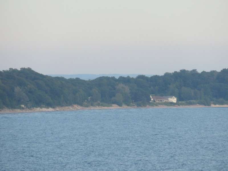
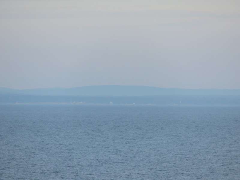
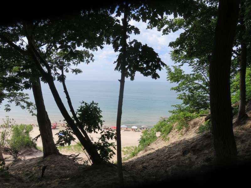
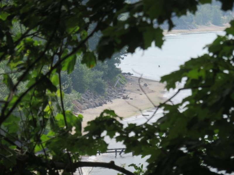
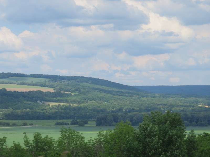
You can see parts of New York from the top of the sand dune. It's easy to see the hills of southern Erie County (places like the Towns of Evans, Eden, Boston, North Collins, etc). You can even see them from lake level. Sometimes you can see over Point Abino at the hills around Orchard Park.

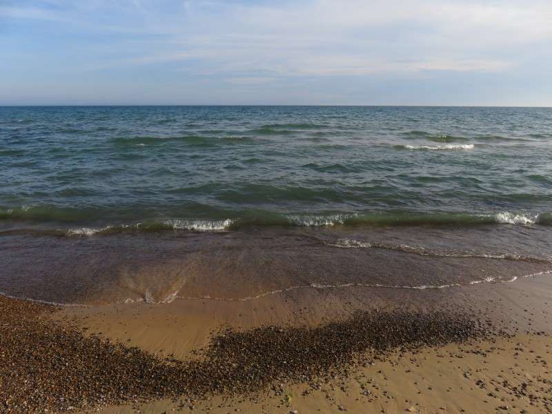
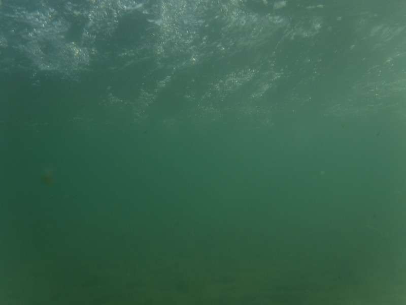
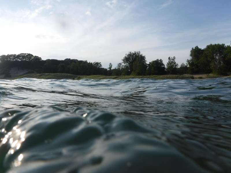
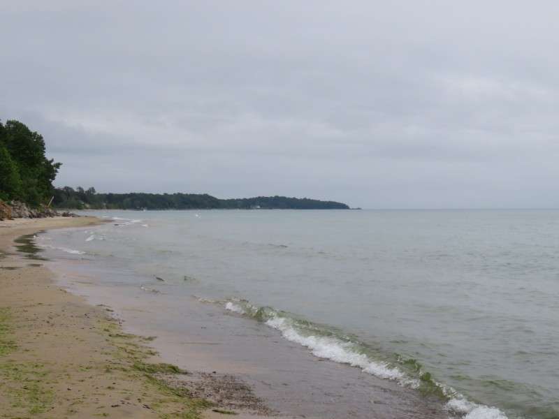
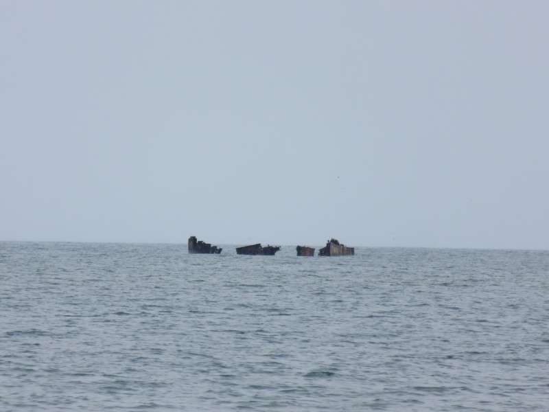
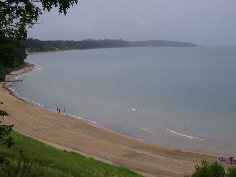
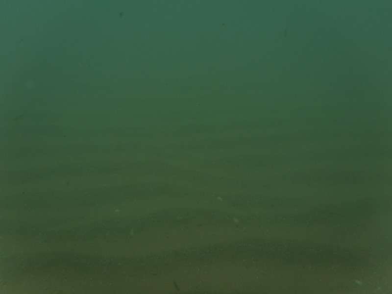
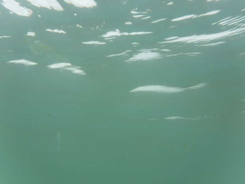
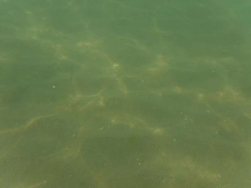
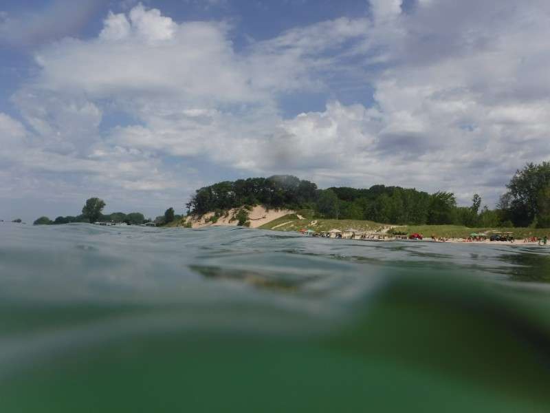
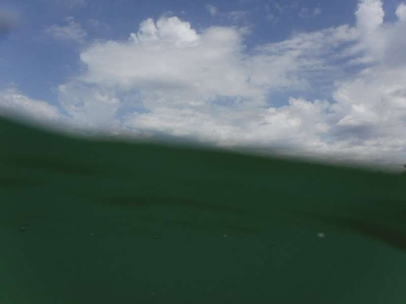
Back down from the dune, I got in the water and took some pictures of the shore, including many with my underwater camera. I love to try and get that perfect shot of half-air, half-water, even if the underwater camera is a point-and-click.


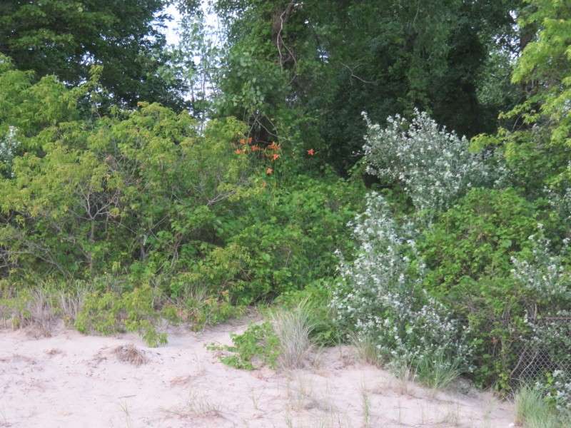
This was a sight for me. I'm used to being home in Delaware in late June and early July, when the day lilies are blooming. I got to see some day lilies flourishing on the sand dunes at the edge of the beach!
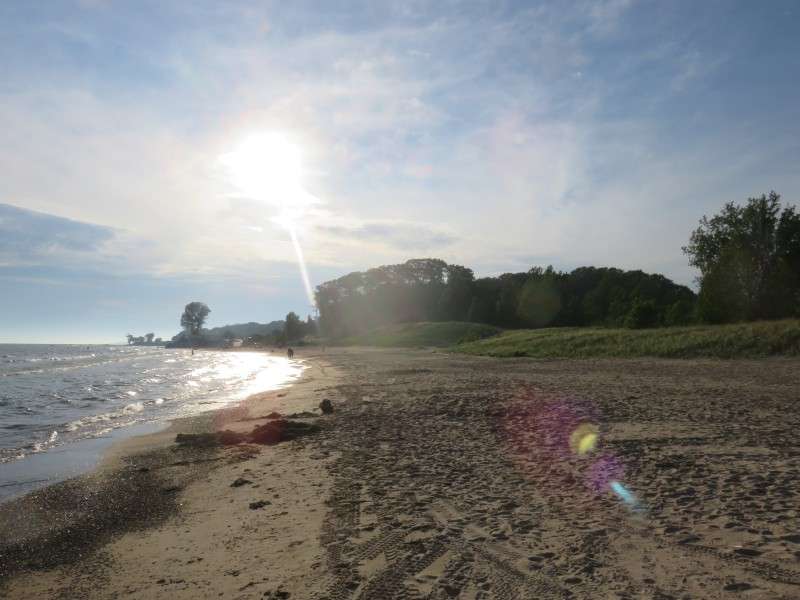
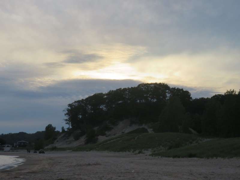
The sun was setting behind the sand dune at this time of year. In late August, when I'm normally up in Canada, the sun sets way to the left of the dune entirely!
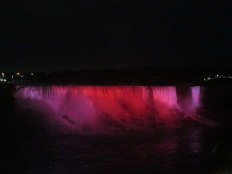
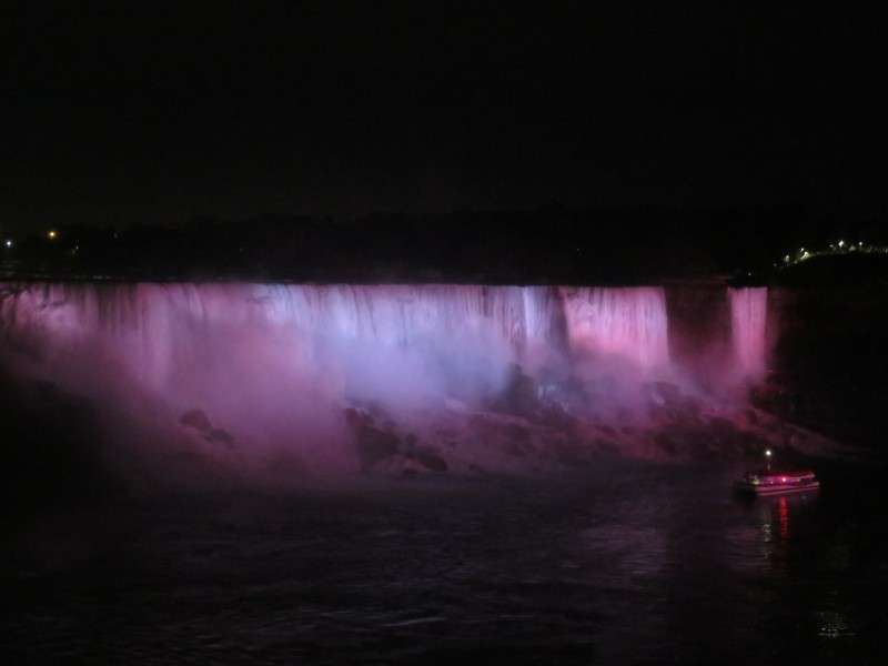
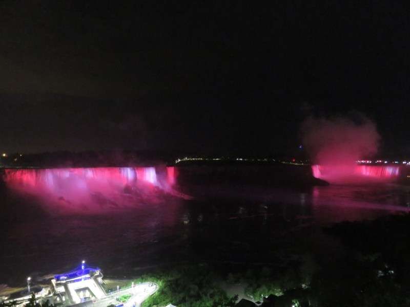
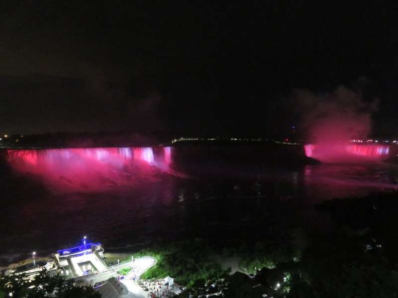
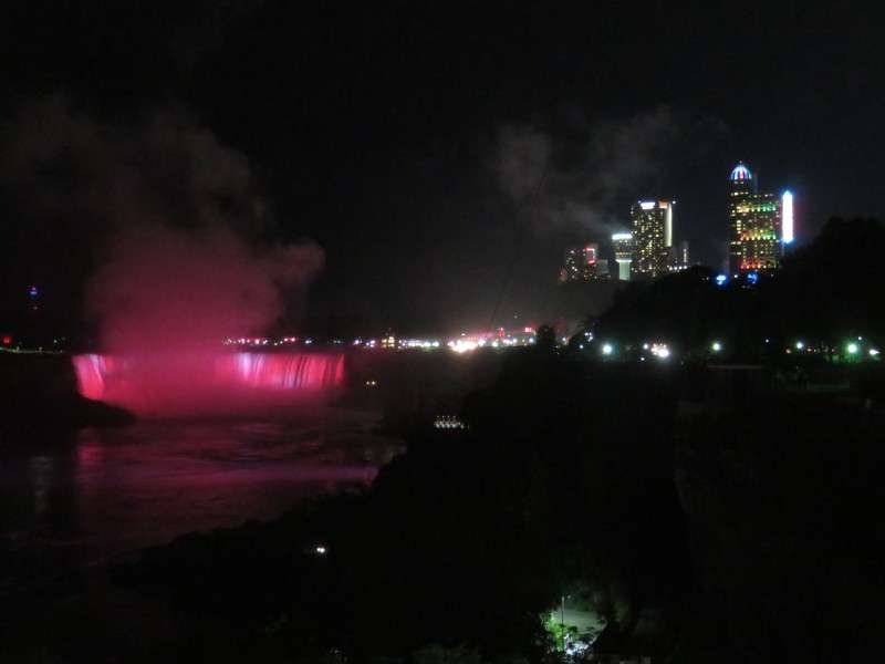
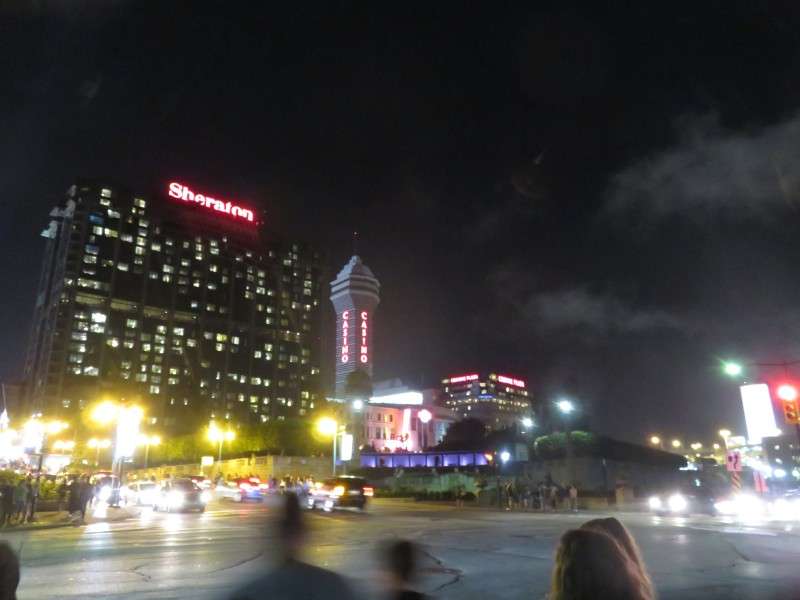
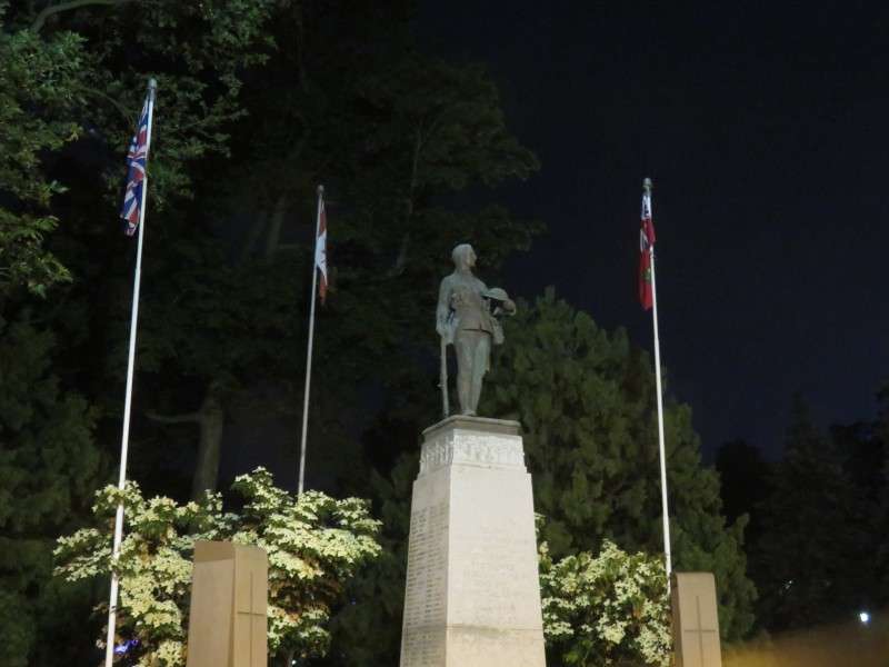
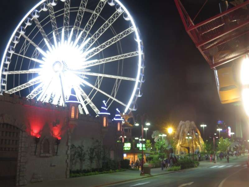
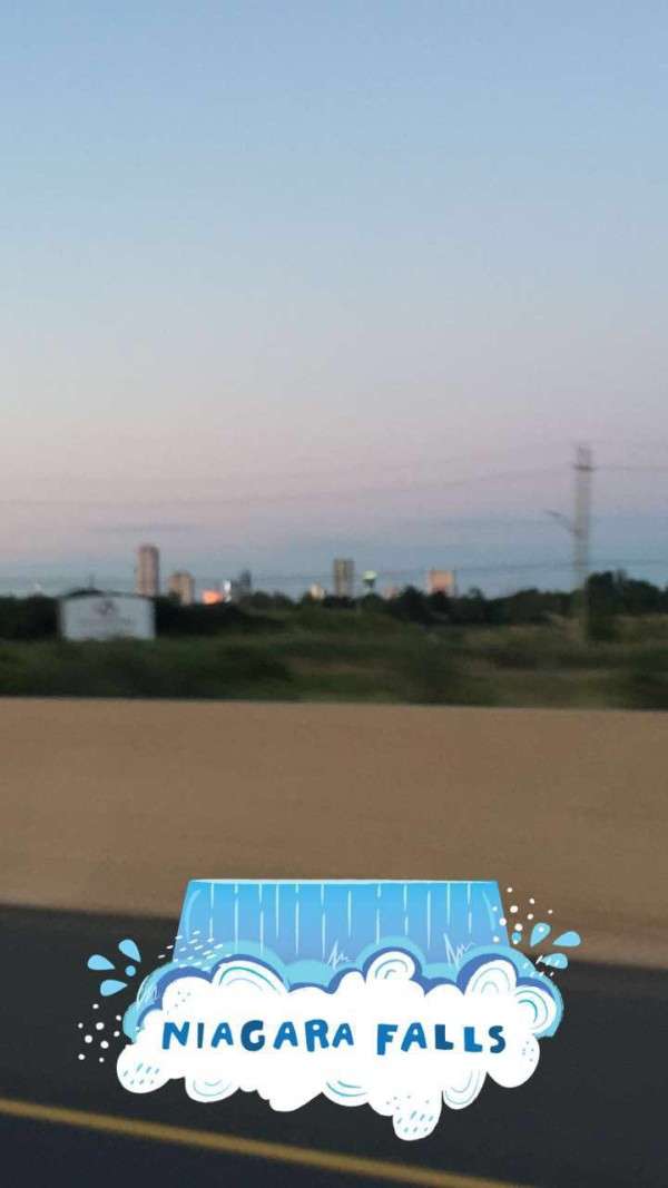
After the beach, I went with family into Niagara Falls for the fireworks. It was great to have Canada Day on a Saturday! It would be a weekend-long celebration!
There were tons of people in Queen Victoria Park for the fireworks. We were able to get a tiny bit of room, though.

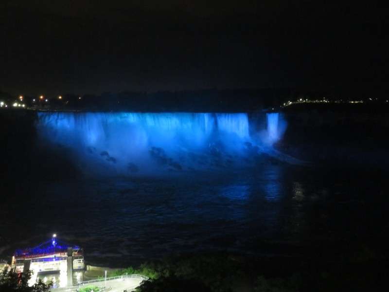

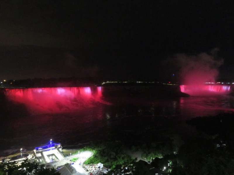

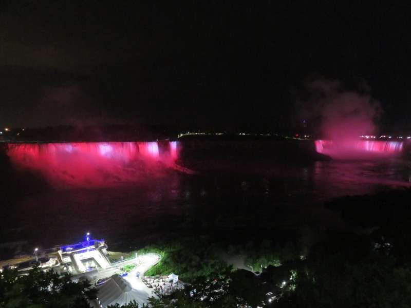

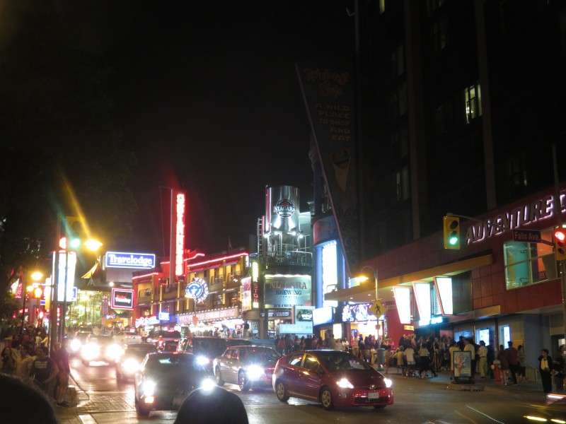
We walked through Clifton Hill to the car, which we parked for free in a quiet residential neighborhood.

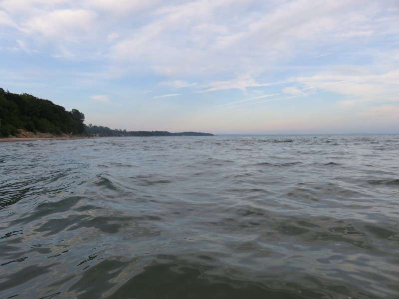
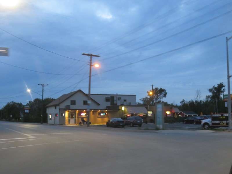
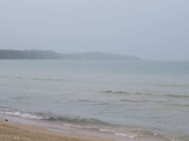
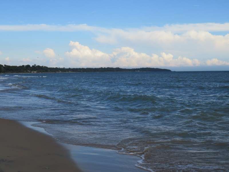
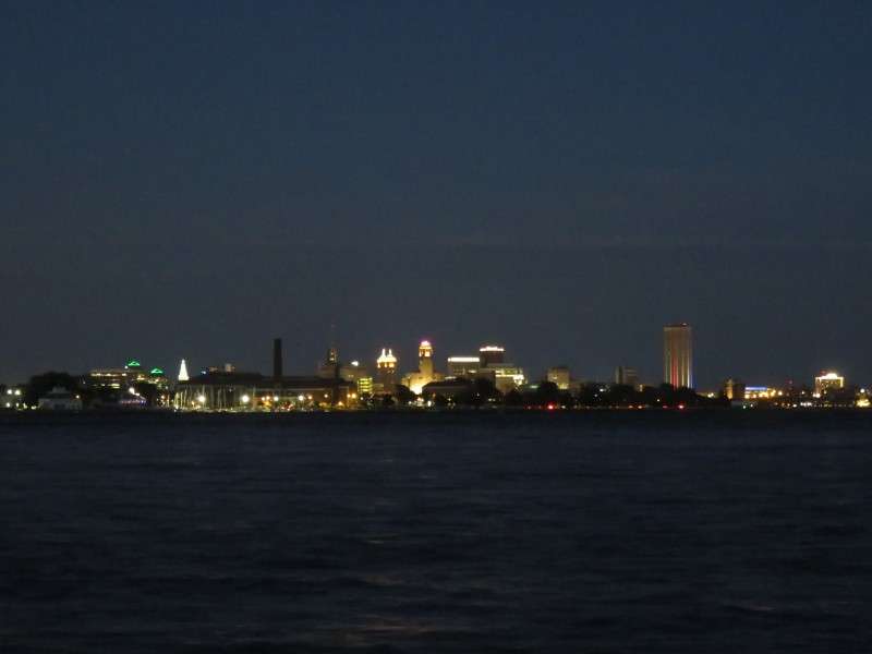
After going to Niagara Falls, I went to Port Dalhousie in St. Catharines to meet up with a buddy who bartends on Lock Street. Here's a picture looking west up Lake Ontario.
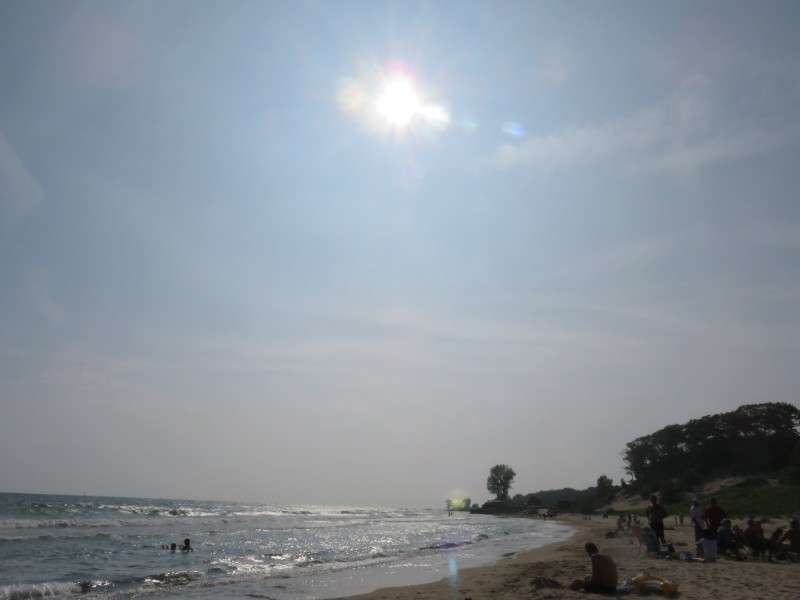
The next day, Canada Day, started off a little drizzly. I still went down to the beach in the morning and swam around a little.


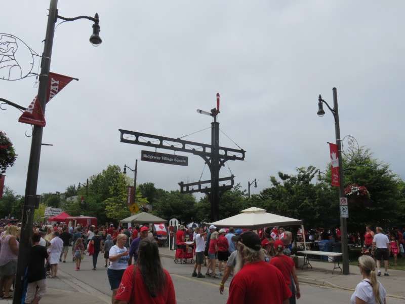
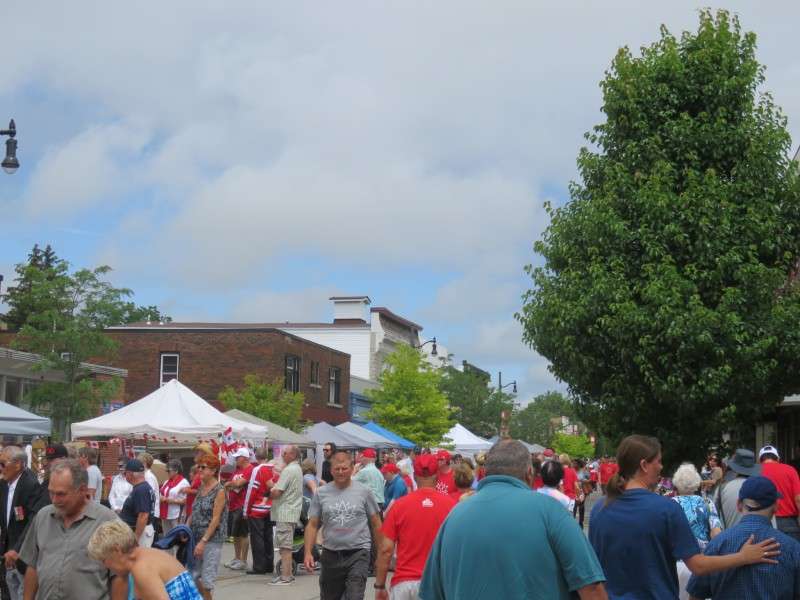
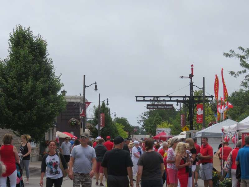
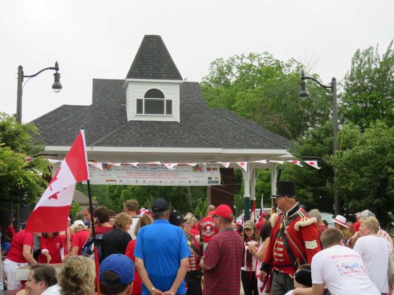
After going to the beach in the morning, I went with my family into nearby Ridgeway for the Canada Day festivities.

This guy reminded me of George Costanza's quote of his dad's lawyer.

This was my favorite Canada Day Snapchat filter of all!
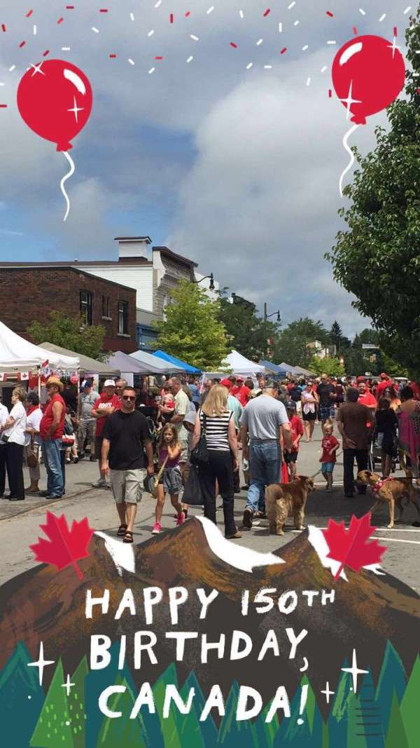
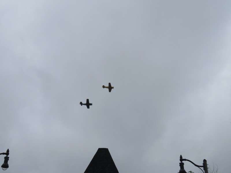
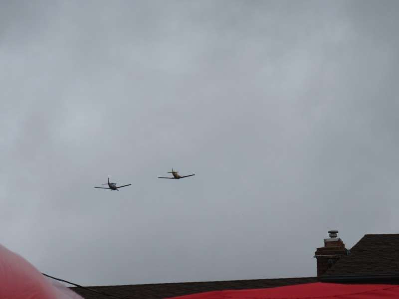
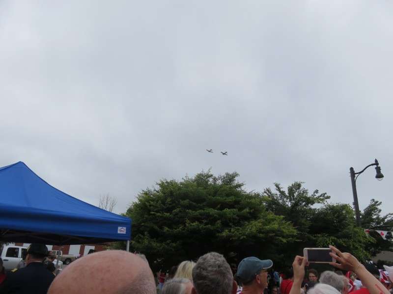
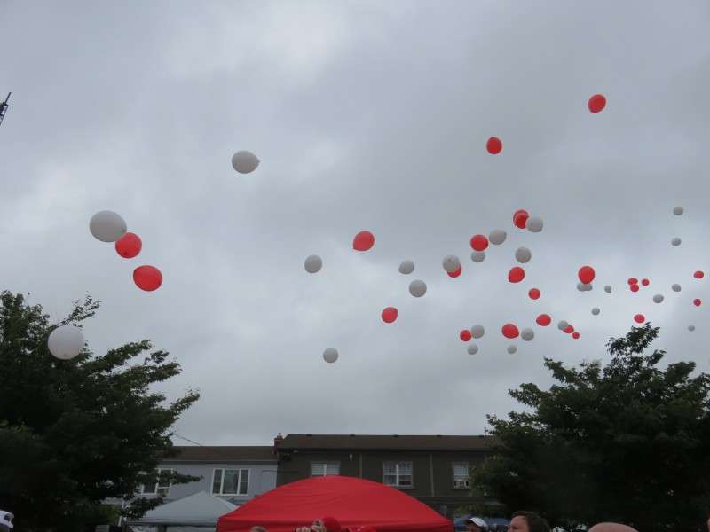
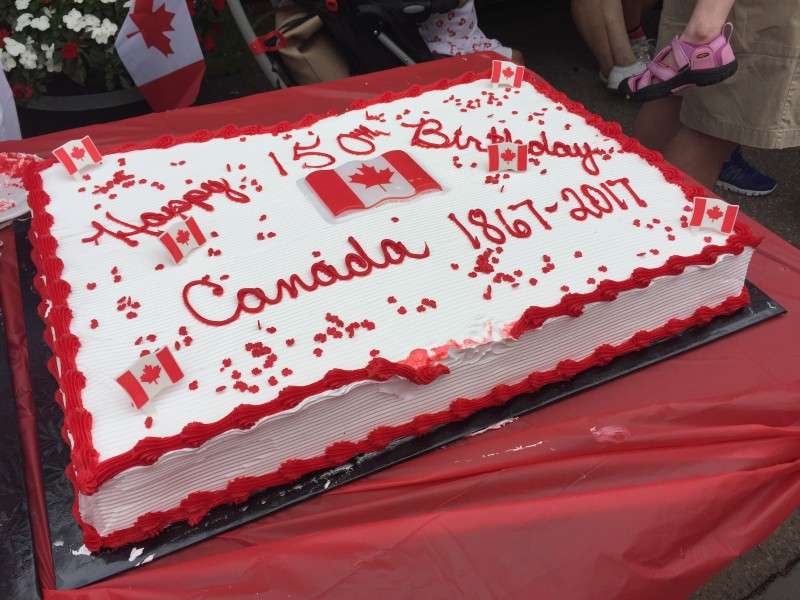
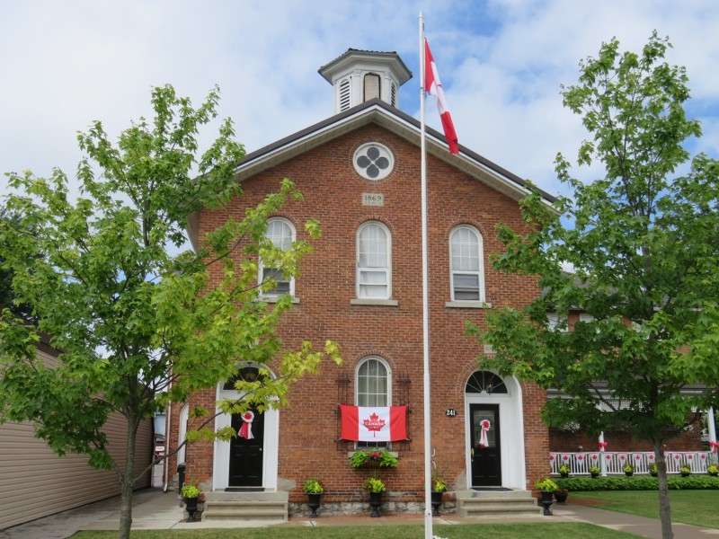
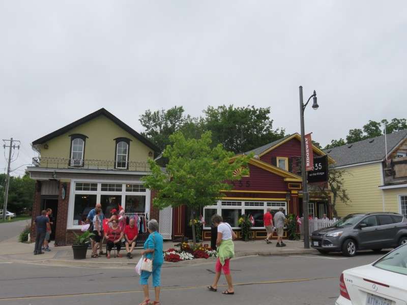
There was a lot going on in Ridgewway. They had a cake for the townspeople, a flyover of antique warplanes, 150 balloons released, a band in the bandstand, and a street fair.


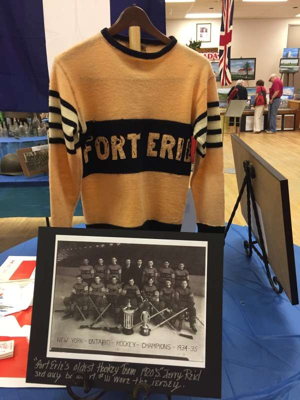
The Royal Canadian Legion was the site of the town exhibit. I thought this old hockey sweater from Fort Erie's 1934-35 team was cool.
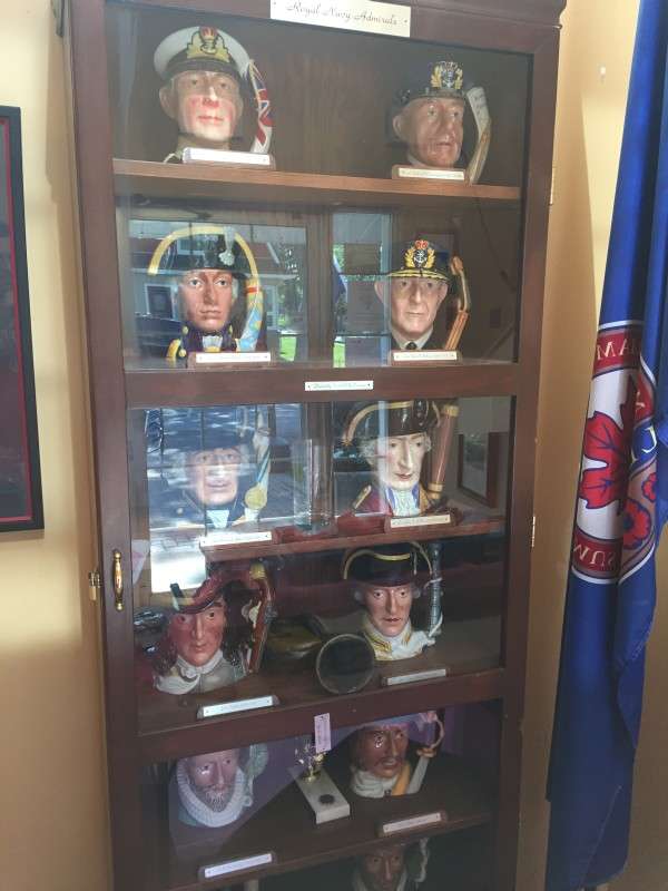
My family always goes to the Friday fish fry at the Canadian Legion to support Canadian veterans (we're American, by the way). These porcelain mugs of Britain's Royal Navy Admirals always intrigued me. Back in high school, I thought these admirals' last names were good name to name make-believe British cities in SimCity 2000.
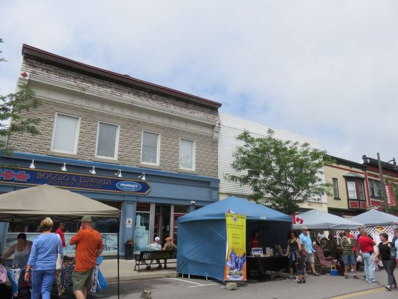
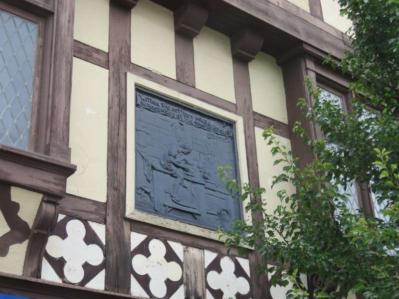
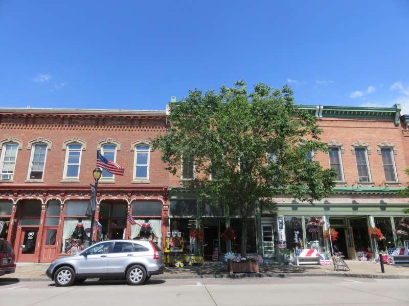
I walked around Ridge Road, the main street through town, and took some pictures of the architecture. Let's start with this great half-timber building with a wonderful bas-relief.


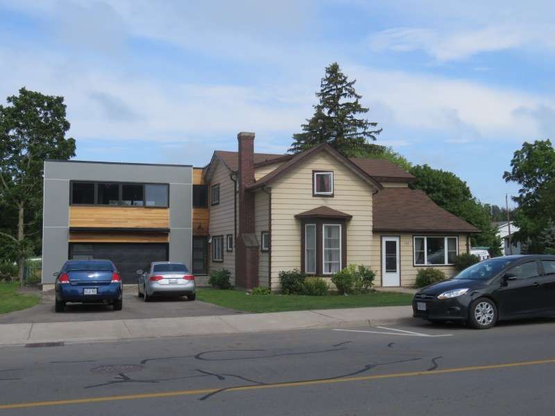
This house has a modern addition in a style that seems to be popping up in several spots in Fort Erie.
Ridgeway put up banners on the streetlamps for the event. I love how Canadian towns beautify their communities with hanging baskets and similar things in the summer! We should do that in the US more!

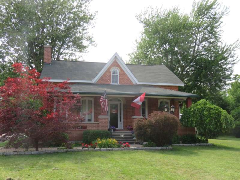
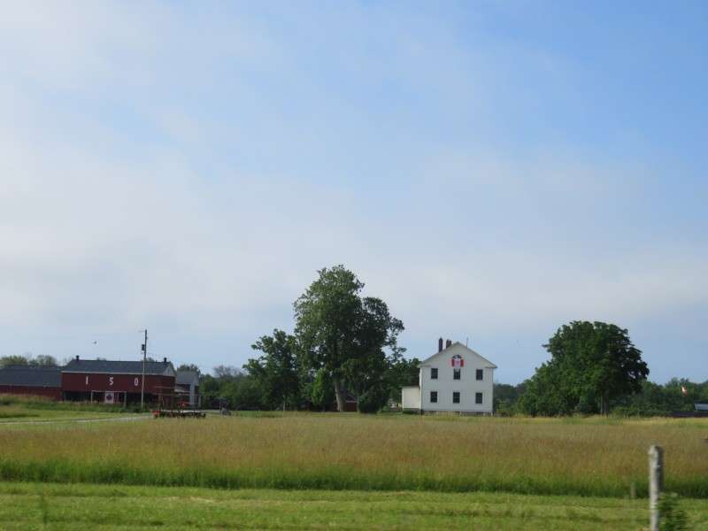
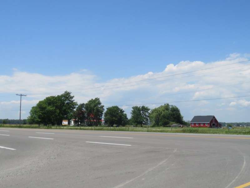
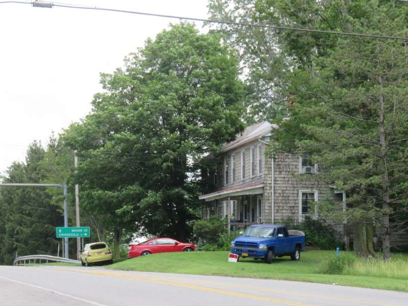
Leaving town for the beach, we passed this farmhouse, which I'll revisit later.
Then it was back on the beach for a late afternoon swim!


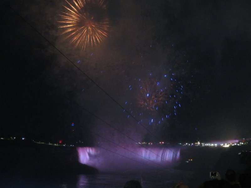
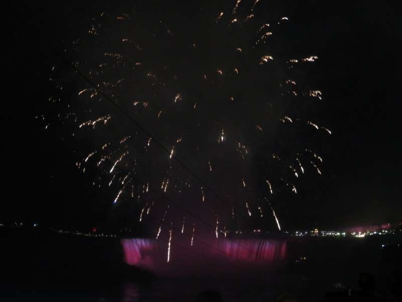
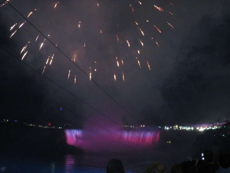
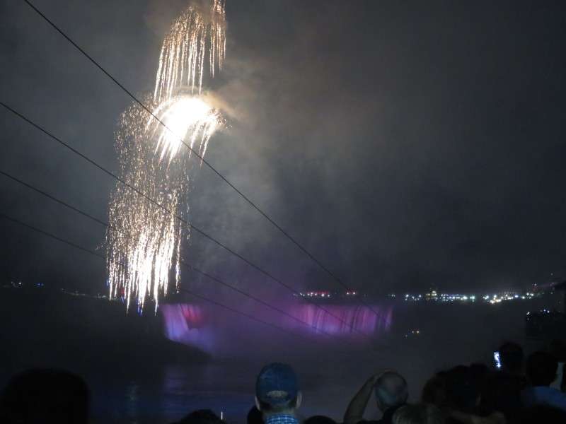
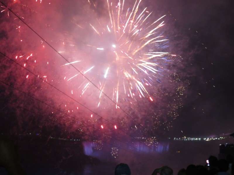
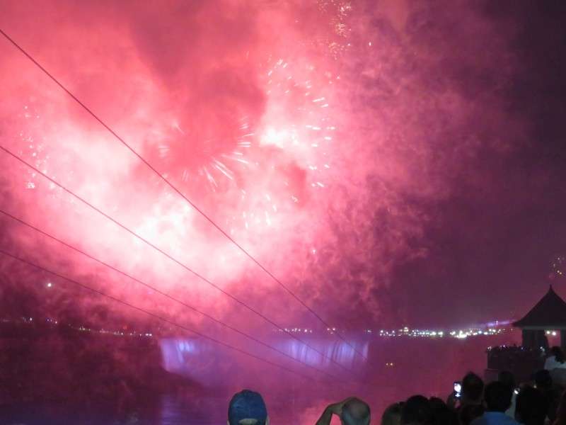
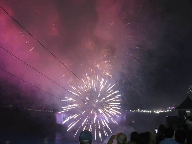
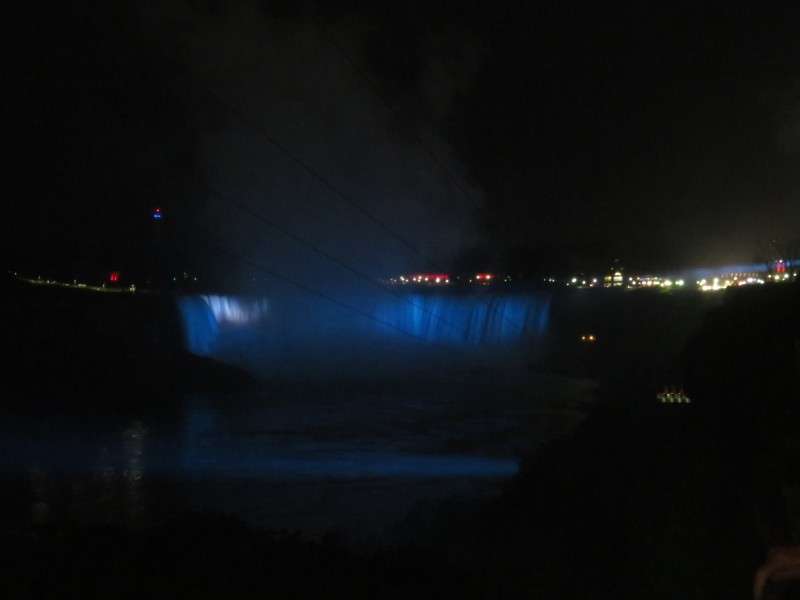
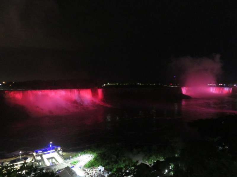
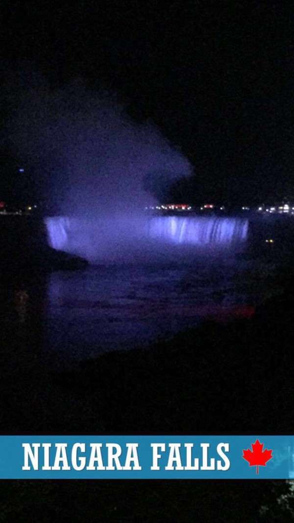
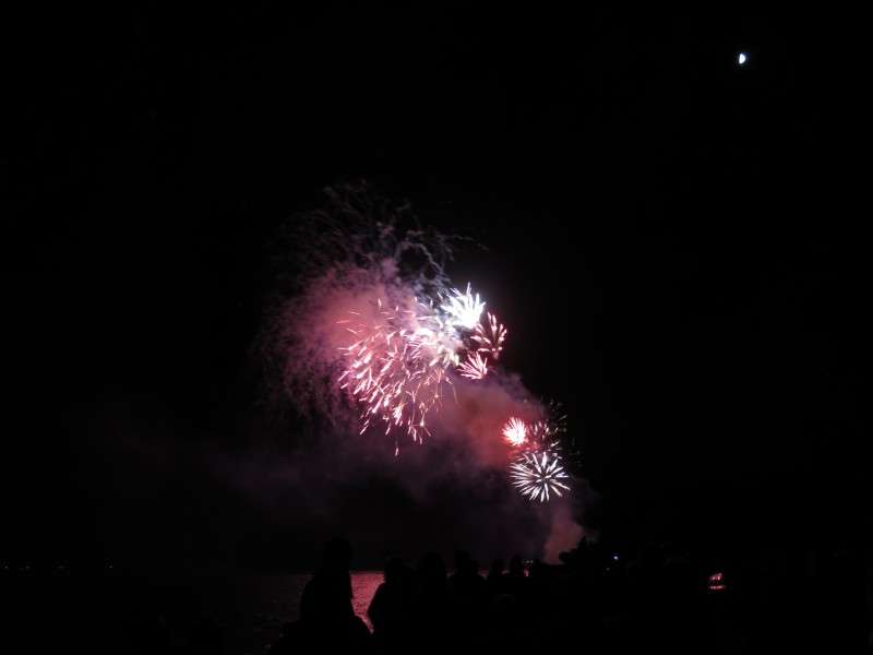
I then went with my family to Niagara Falls for the Canada Day 150 fireworks! This was going to be great!

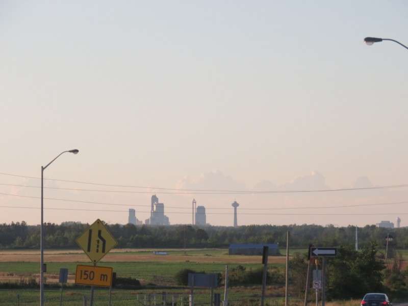
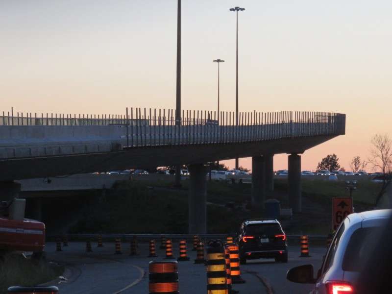
Alright, it wasn't going to be great. Traffic was like nothing I had ever seen in Niagara Falls. Everyone, including us, were circling around every neighborhood looking for parking spots. After taking 30 minutes to get from the QEW to Stanley Avenue via Highway 420, it wasn't even worth trying to look for a parking spot and walking all the way down to Queen Victoria Park. We turned around and drove to Fort Erie for the fireworks. Here's what the traffic looked like as we left. By then, the traffic going to the falls and foreworks was so backed up that the QEW was backing up as well.
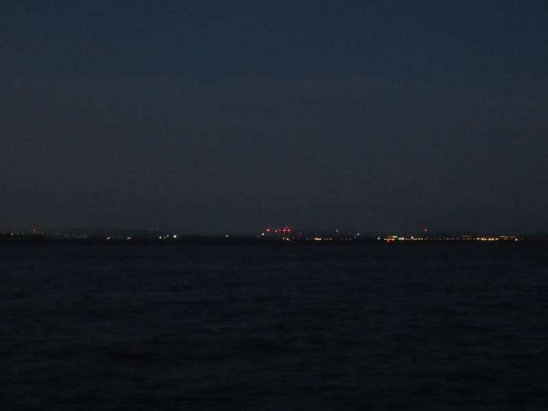
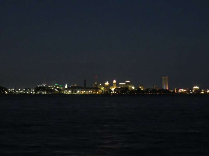
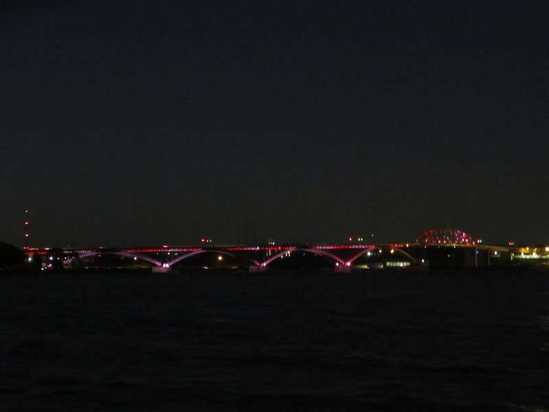
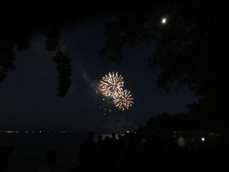
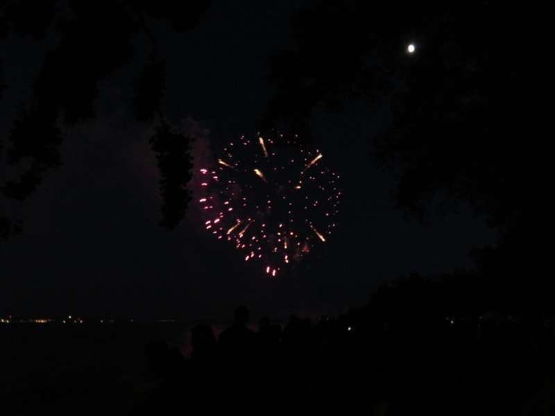
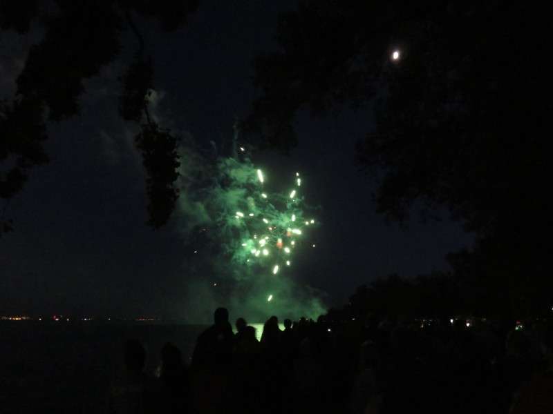
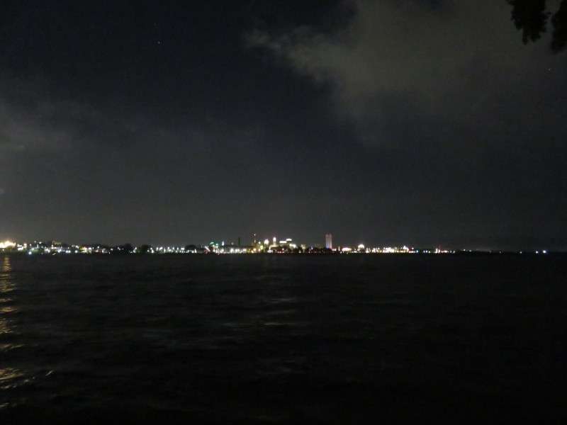
We got into Fort Erie around 9:45, with just enough time before the fireworks. I took pictures from the park of the Peace Bridge, Buffalo, and the lakeshore over in the US.
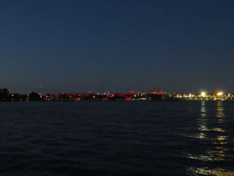


The fireworks started, and we had a good view, with no crowds pushing for their own view. This was much better. It turned out that Niagara Falls' fireworks had a malfunction and were stopped very early. It was a good move not to try and see them.
The next morning, I went into Ridgeway with my family again. On the way back, we passed that farmhouse again. I like how this guy painted "150" on his barn! I hope he keeps it!
Then it was onto the beach again!


I took more pictures with my underwater camera. With the sun out, pictures of the bottom of the lake turned out better. I also got some pictures that were half underwater and half out of the water!


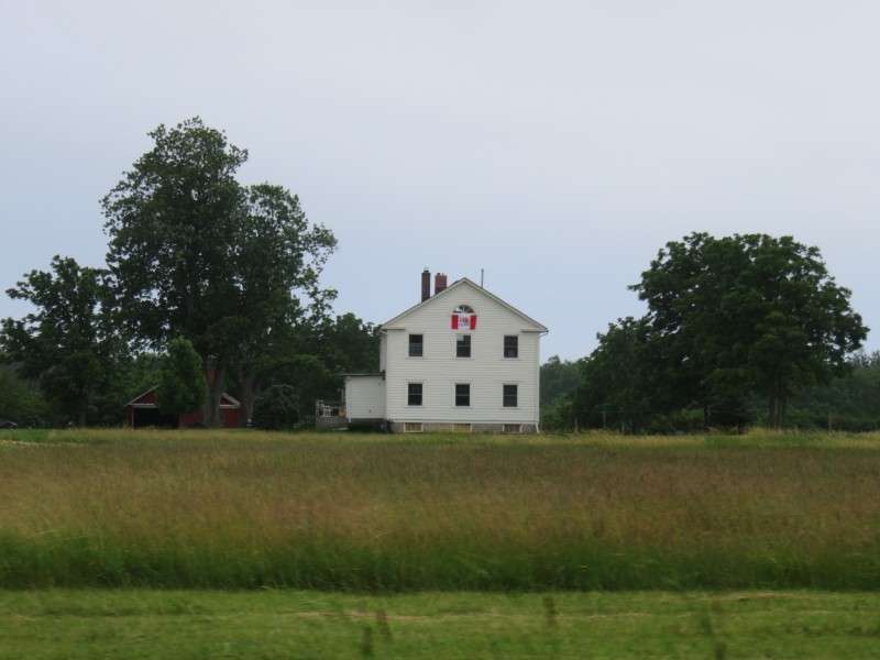
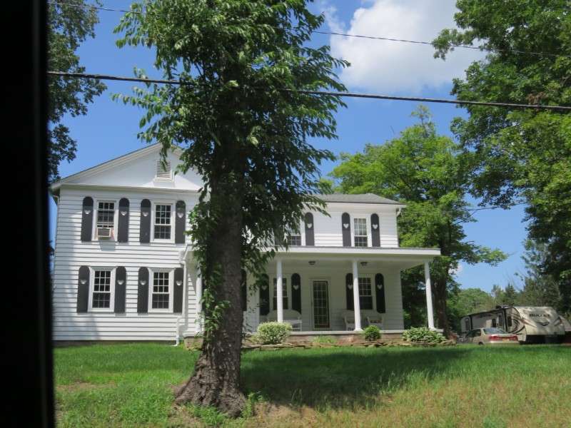
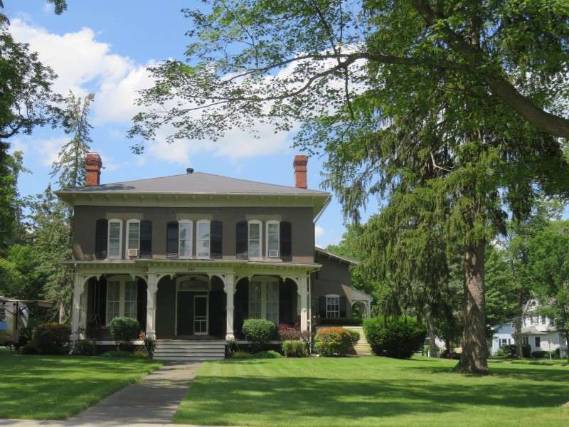
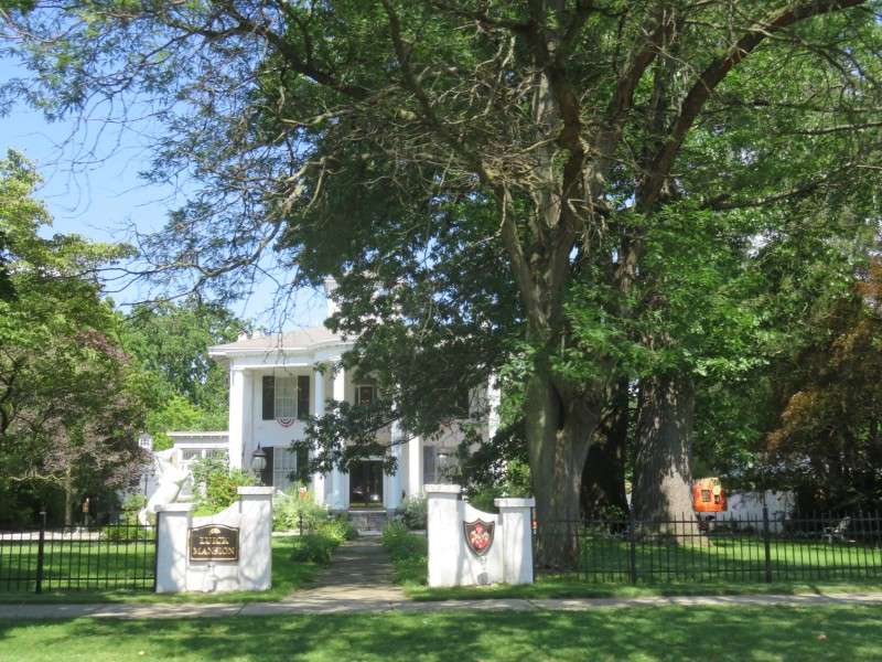
After a couple hours on the beach, it was time to drive back to Delaware. This 1800s house near our cottage was getting a nice renovation!

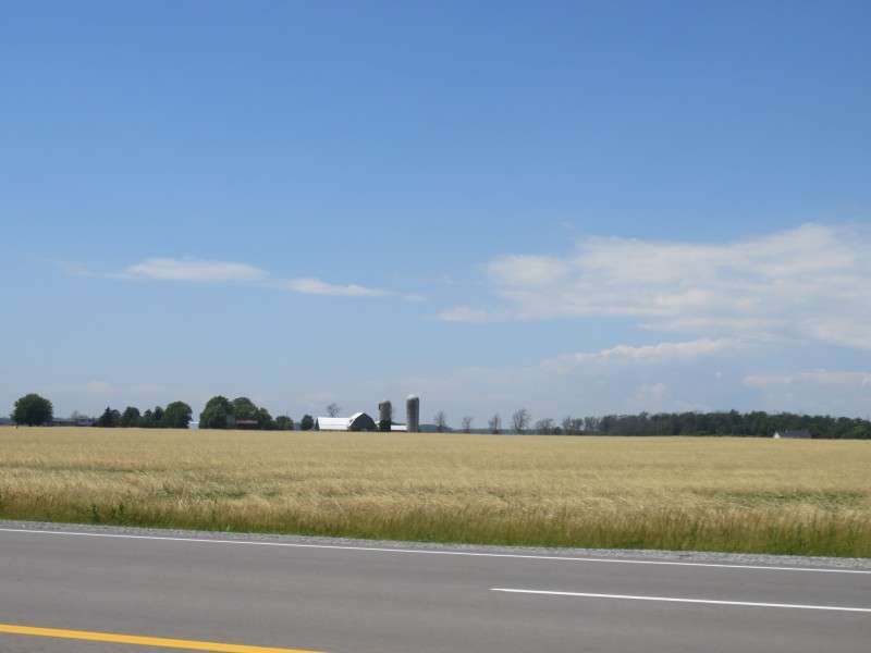
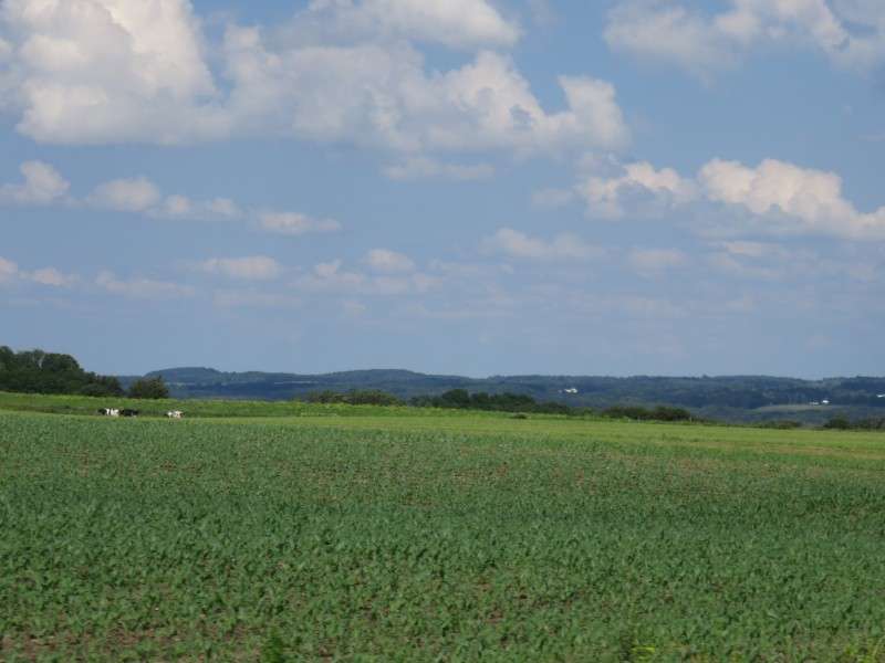
The canola fields looked great!
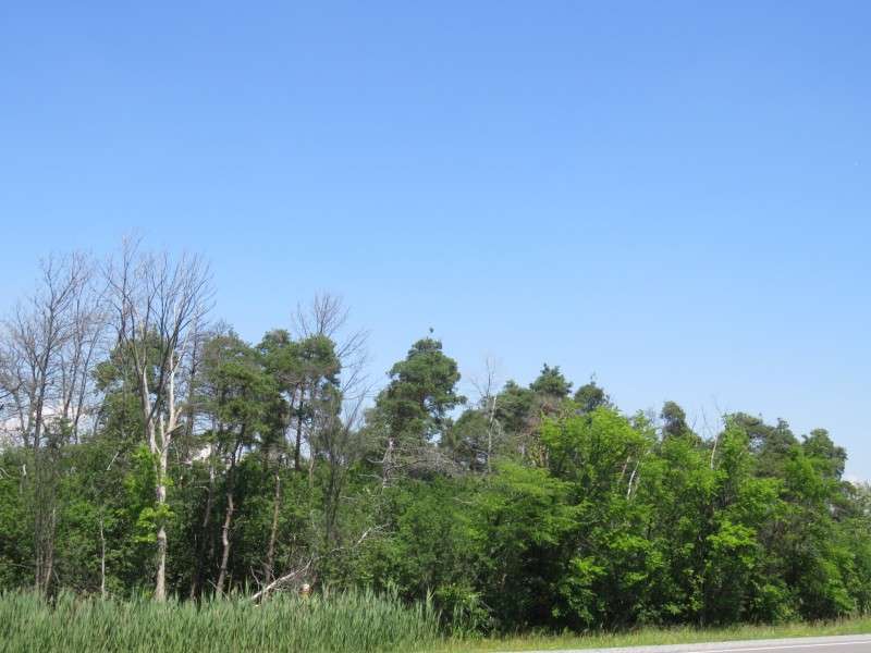
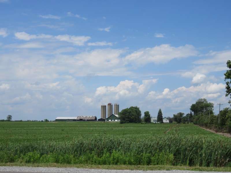
I always hear Canadians in this area talk about how this one little patch of woods near our cottage is "one of the northernmost sections of Carolinian forest on the continent". I've never even heard of the term Carolinian forest outside of Canada, but when I think of a forest in North Carolina, I think of yellow pines. I never really saw pine trees, much less yellow pines, in the Niagara Region, but I did see these trees along Highway 3 near Stevensville. This is as close to "Carolinian forest" I've seen up there.
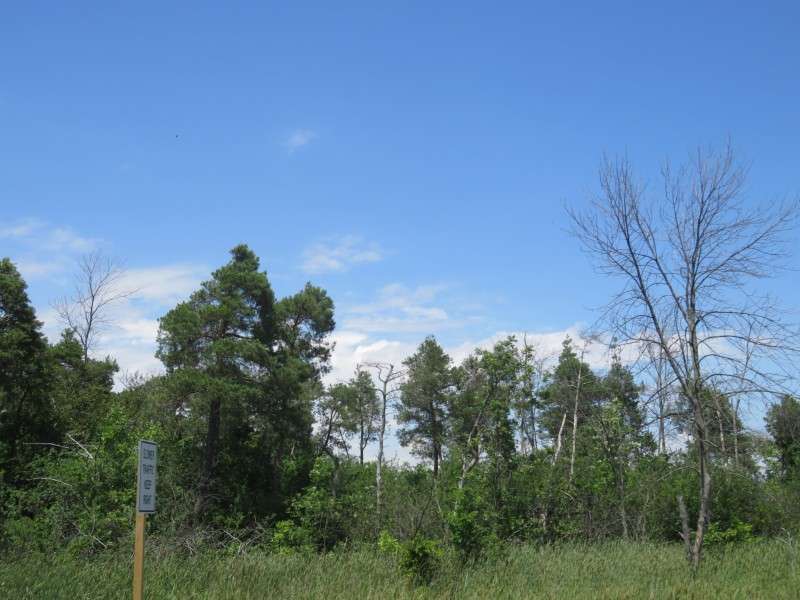
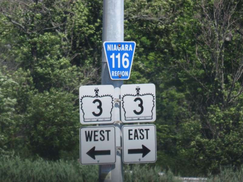
The normal signage for Highway 3 is a shield, but I like these smaller signs for the highway too.
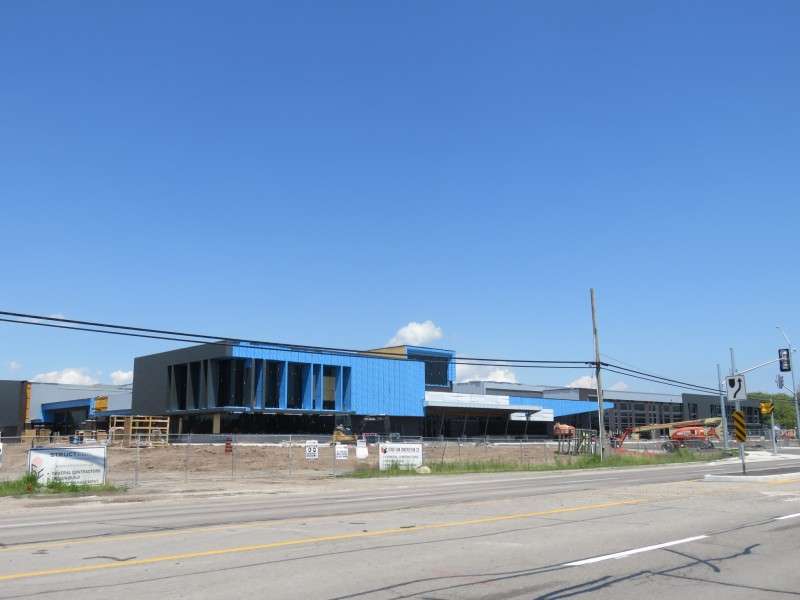
The Greater Fort Erie Secondary School was being built on Highway 3. It wasn't completely ready when I drove past it on August 30.
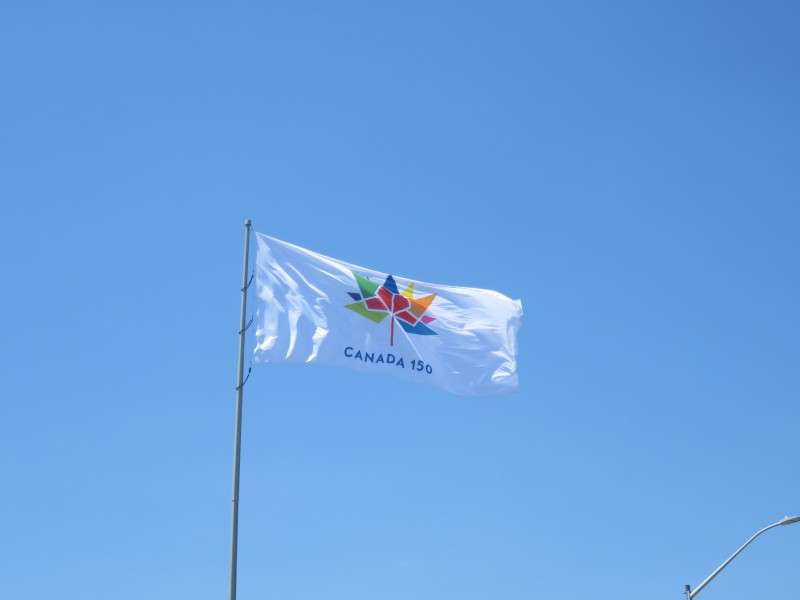
Getting ready to go over the Peace Bridge into the US for good, I got a nice picture of the Canada 150 flag. It was a nice close to the trip.
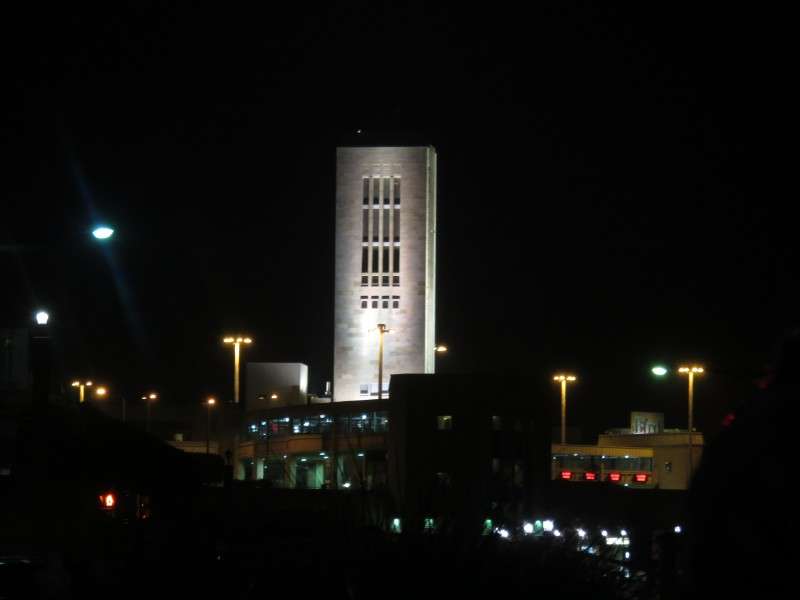
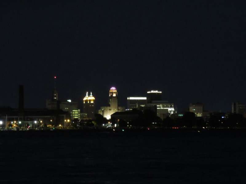
Then we were in the US. We drove past Buffalo's magnificent City Hall.

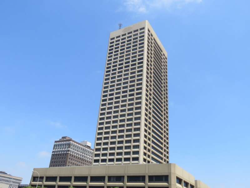
Then we drove past the city's tallest building.

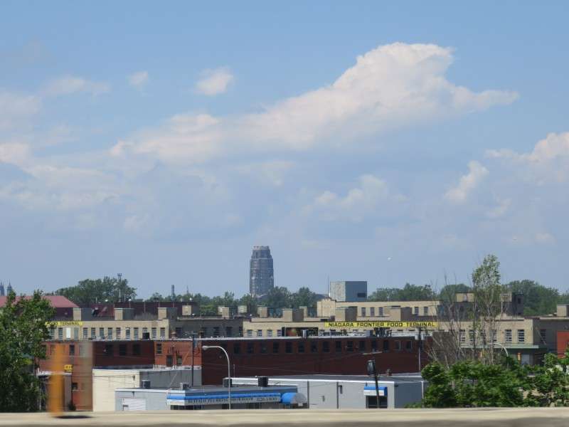
Along I-190 is the Hydraulics neighborhood, now being called Larkinville more and more often.

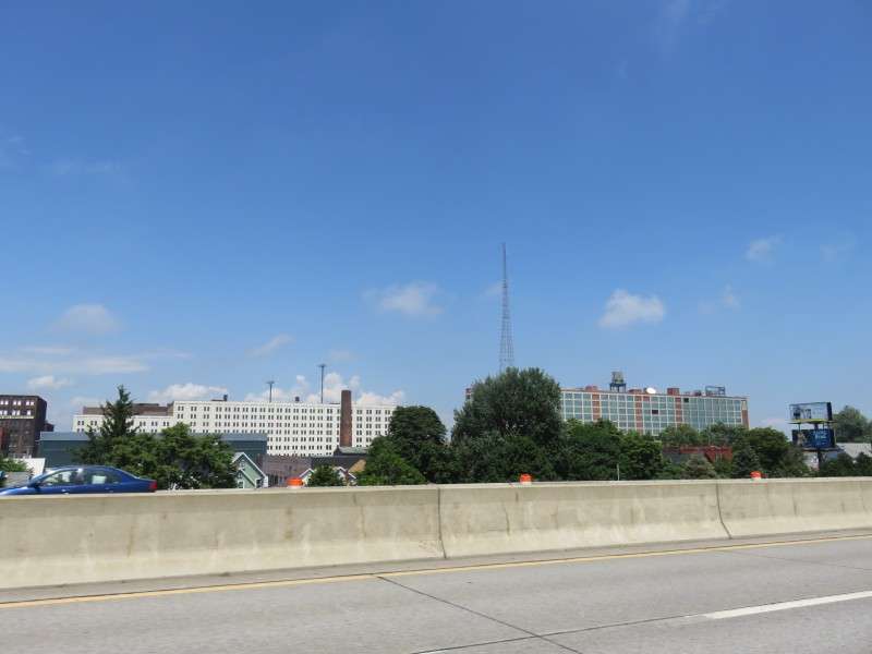
Buffalo Central terminal is in the distance, in the Polonia neighborhood.
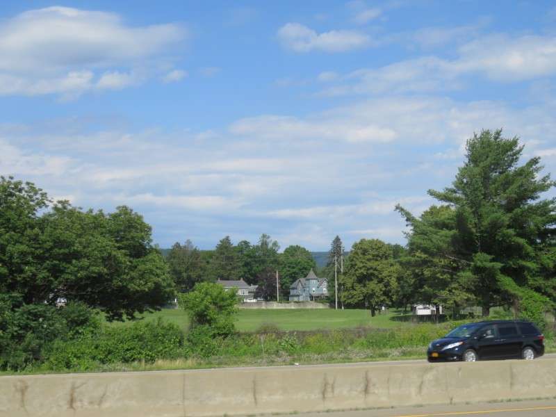
We took US Route 20A from East Aurora to I-390.

This Snapchat filter is simple, but I love it, especially when it frames some of the pastoral scenery in the area.


We drove through Warsaw about halfway down Route 20A. I did a photothread of Warsaw several years ago. It may be time for another one soon.
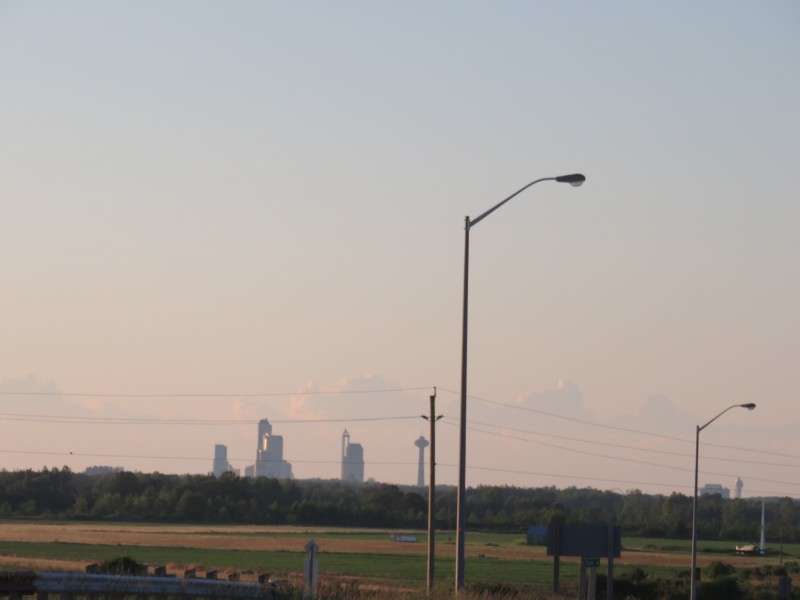
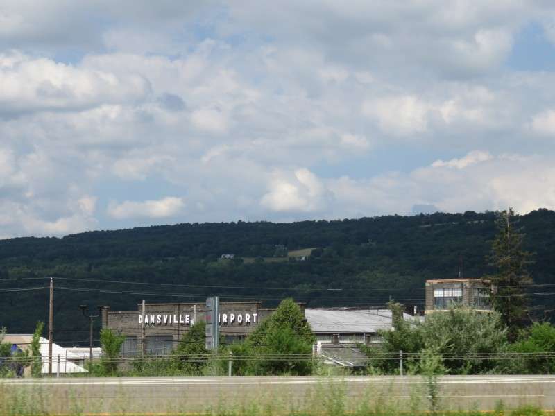
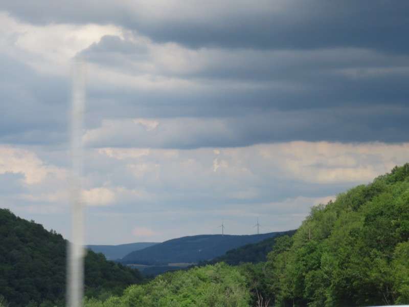
We were then on I-390, on the way to Bath, then to head towards Corning and Williamsport.

We passed Painted Post.
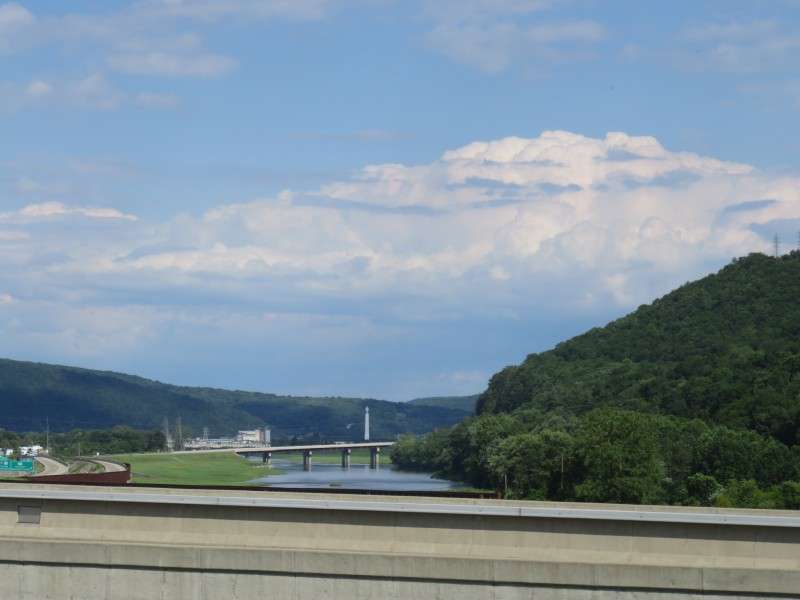
And then we drove around Corning, to Williamsport. The Little Joe Tower, built in 1912 and used to pull a tube of hot glass 196 feet up to cool and cut into segments for thermometers,
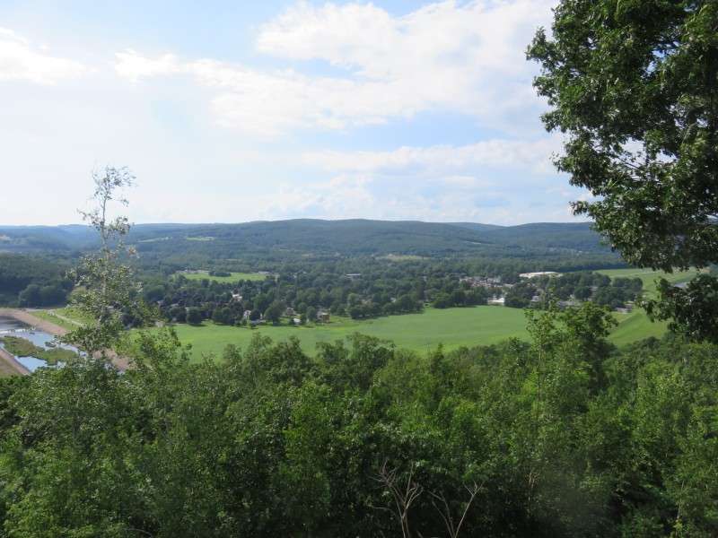
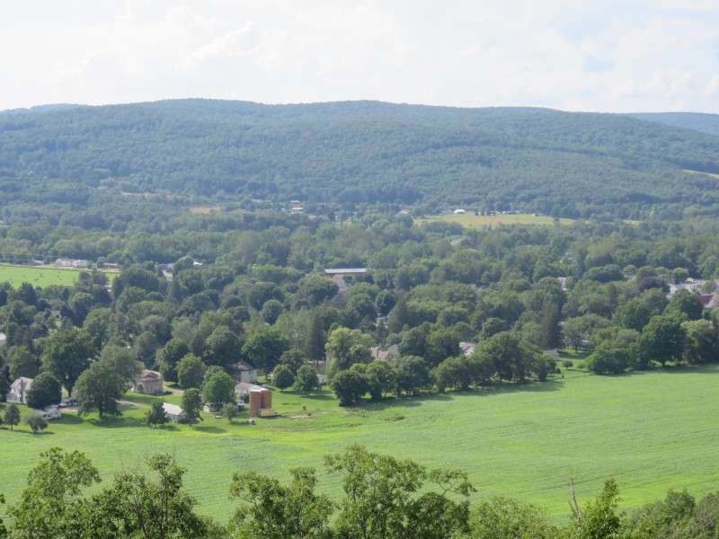
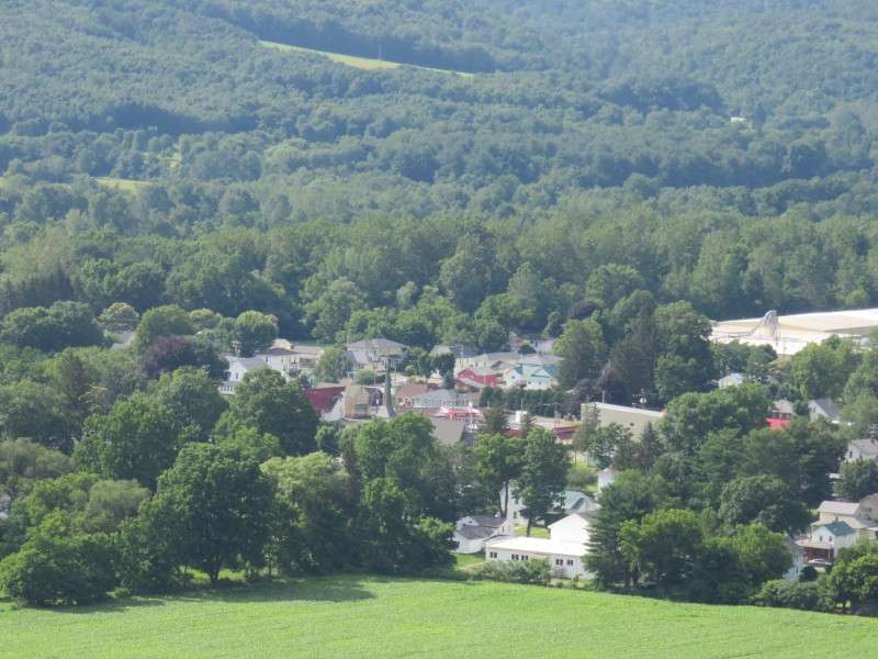
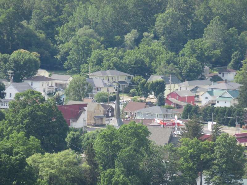
We stopped at the Pennsylvania Welcome Center after crossing into the Keystone State. The rest stop overlooks the borough of Tioga.
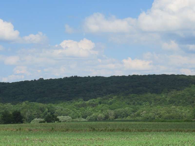
The last picture of of the farmland of Amish Country, southeast of Lancaster, on a perfect summer evening. Thanks for looking at my pictures!


 Linear Mode
