With the weather being so nice for this time in June, I thought I'd go for an early morning bike ride through central and north Phoenix.
Here's my ride. It's a Specialized Hardrock mountain bike with hybrid tires. I think it's a mid 1990's model.

Here's where I'm going. I'm starting at 5th Avenue & Culver and heading clockwise. I think it's around 40 miles round trip. I'd recommend it if you're looking for a good bike trip around Phoenix.

Kenilworth Elementary School. A few notable Arizonans attended classes here including Barry Goldwater, Margaret Hance, and John Talton.

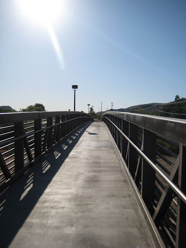
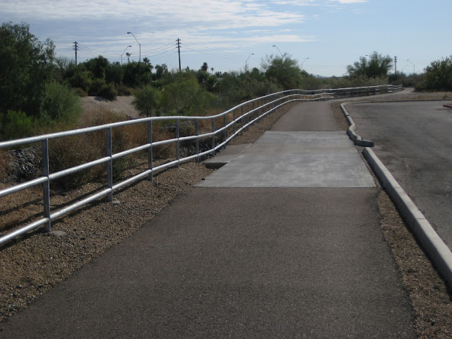
There's a pedestrian overpass on the south side of Kenilworth that will get you over 7th Avenue. It's also a good perch to cheer on any friends who are running in the PF Changs marathon.

View of DT Phoenix from the pedestrian overpass:

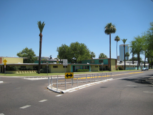
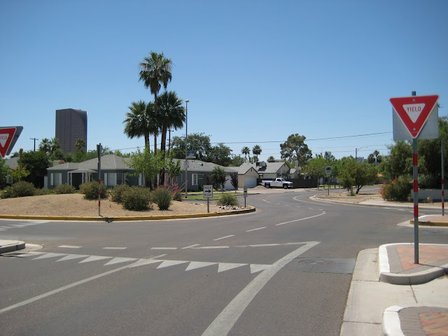
15th Avenue & McDowell. This place reminds me of a scene in Coming To America: "See they're Winchells. I'm Wishells.."

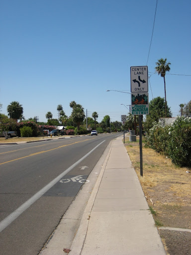
Heading north on 15th Avenue. The City of Phoenix recently changed 15th Avenue from a four lane road to a two lane road with bike lanes and a center turn lane. This was good because the only other nearby north/south streets with bike lanes in the central city are 23rd Avenue and 12th St.

A nice little rose garden along 15th Avenue.
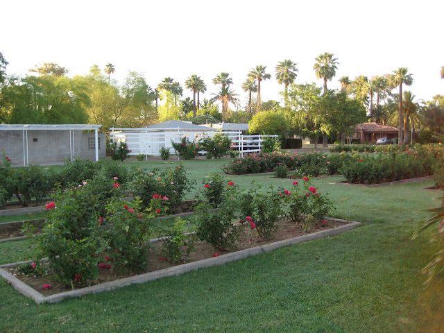
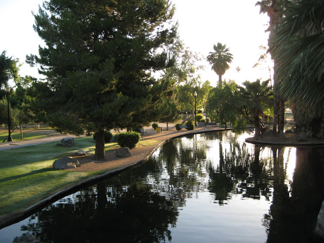
Encanto Park. It's turning 75 years old this year. I think it looks pretty good for its age.

Wildlife at Encanto Park.

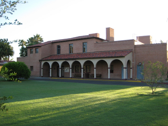
Encanto Park clubhouse.
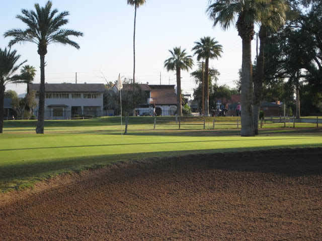
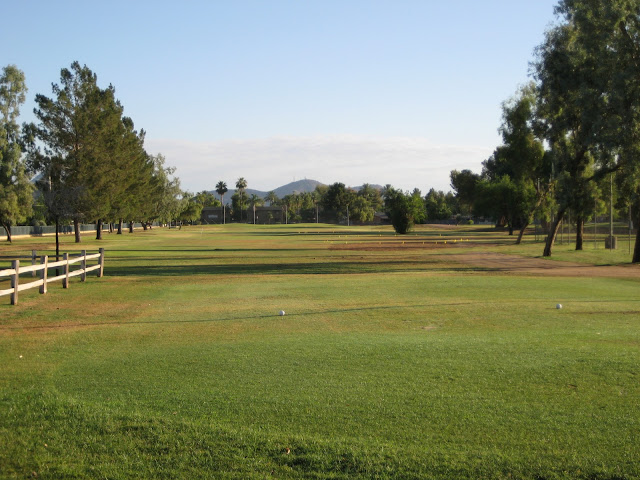
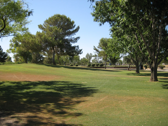
The 18th green of Encanto golf course. The 10th hole tee box is in the distance.
Crazy Jims on 15th Avenue & Indian School. I eat here sometimes.

The 1st hole tee box at Palo Verde golf course (near Maryland & 15th Ave) It's another City of Phoenix golf course with mostly par 3s.
Just across the street from Palo Verde (the west side of 15th Avenue) is a few old farm houses. I heard a rooster crow as I rode by.
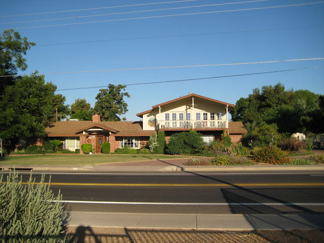

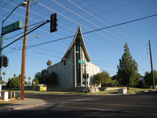
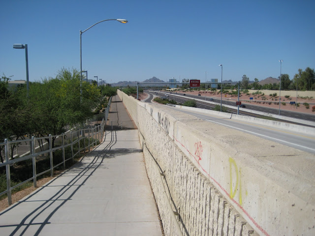
A church located on the NWC of Maryland & 15th Avenue. Maryland is between Bethany and Glendale. The street doesn't cross I-17, but there is a nice pedestrian overpass where Maryland terminates at I-17.
A home with a little horse ranch out front. You can barely make out the horse.

A view of 15th Avenue north of Northern.

Royal Palm Park on the east side of 15th Avenue between Northern & Dunlap:

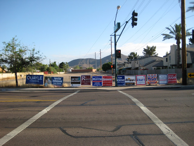
15th Avenue terminates at Dunlap. So I'm taking that service road in the left of the picture to connect to the Arizona Canal. And no, Dan Quayle isn't running for congress. His son, Ben, is. I looked it up.
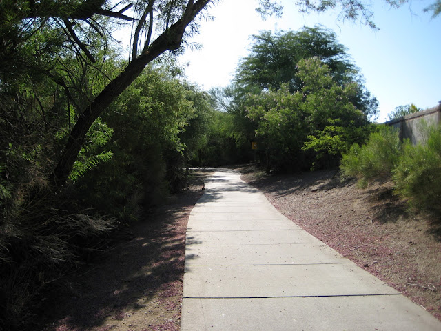
Riding west along the Arizona Canal towards 19th Avenue. The Diversion Channel runs parallel with the Arizona Canal on the north side. It's called the ACDC canal.... which sounds cool.

It's time to head north on the Cave Creek Wash. The trail branches north at the Rose Mofford Sports complex between 19th and 25th Avenues.

This picture of the diversion channel reminds me of that scene in Terminator 2. You know, where the liquid metal terminator is chasing John Connor's motorcycle in a semi.... and thinking of Terminator 2 reminds me of Guns N Roses "You Could Be Mine." I'll spare you all and not add the youtube link.

The Rose Mofford Sports Complex along the Cave Creek Wash trail.

One of the cool things about the Cave Creek Wash trail (and the Arizona Canal) is that there are tunnels and/or underpasses that will get you by the main streets without having to deal with traffic. They are like freeways for bicyclists. This is the Peoria Avenue tunnel.

There's trails on both sides of the wash. However, the Peoria and Cactus underpasses are on the west side.

A park just before Thunderbird.

A bridge to get to the east side of the Cave Creek Wash.
The view from that bridge (looking south). There was a lot of water in here after the heavy rains in February.
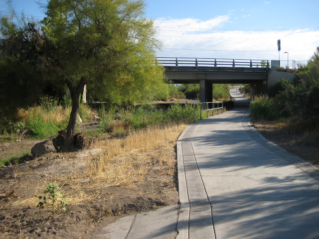
The trail now takes us underneath Thunderbird Rd.
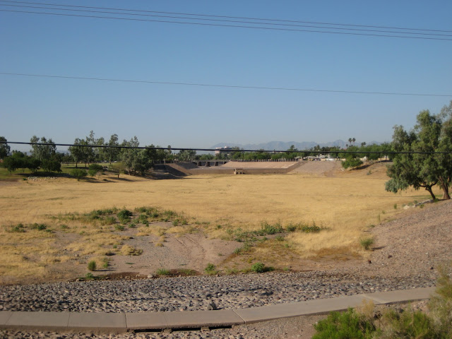
Cave Creek Golf Course. It's the third City of Phoenix golf course on the route today. I've never played it.
After riding through the golf course, the bike path terminates at 19th Avenue. You need to ride north on 19th avenue for a tenth of a mile or so before you reconnect to the trail. The City of Phoenix planned to build (or is planning) a really expensive pedestrian bridge across 19th Avenue here to eliminate the brief trail gap. I think the HAWK street crossing system, similar to the one used in Melrose on 7th Avenue, would be as effective and far less expensive.
This is the point where the two washes connect near 19th Avenue & Greenway. One option is to head northeast, underneath Greenway, where the trail eventually connects to Union Hills. However, I chose to follow the path/wash that parallels Greenway heading east.

The view from along the trail:
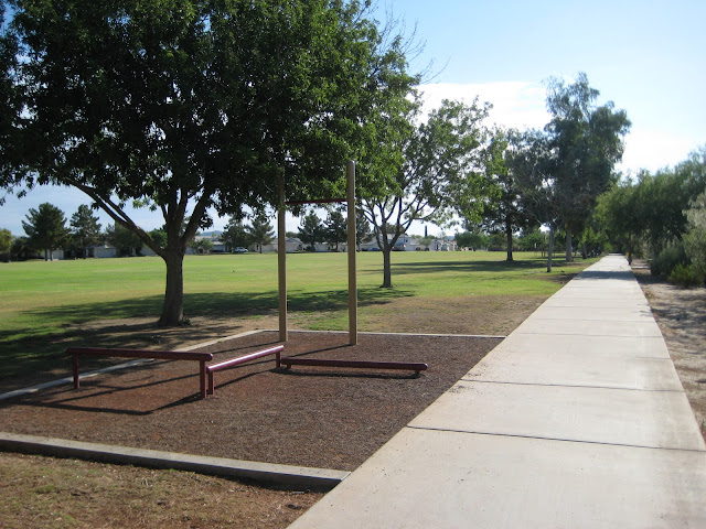
Moon Valley Park. There were a lot of spots to practice pull ups here.
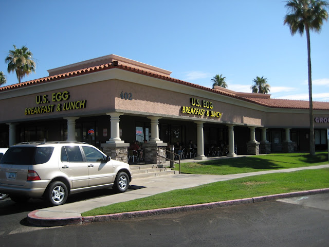
At this point of the ride, I was pretty hungry. So I called my wife and asked her to meet me at U.S. Egg near 3rd St & Greenway. It's famous for its Protein Pancakes. I opted for the Sonora Breakfast burrito instead.

The exterior of U.S. Egg:
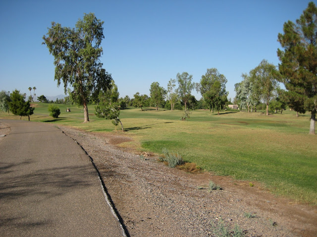
After U.S. Egg, I went north on Central and connected with Union Hills. I turned east on Union Hills. There's not much on Union Hills worth mentioning except that it has large bike lanes in some spots. I think my Mini could fit in the bike lane. Here's the Paradise Valley Golf Club which is right next to PVCC.
Approaching SR51. Once there, I'm turning south.

There's a stretch of pedestrian overpasses between Union Hills and Greenway. These are good ones in that they don't make you ride up and down switchbacks to get to and from the bridge.
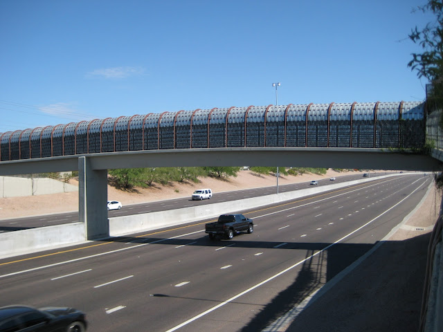
The bridge at Bell Rd.

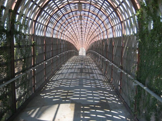
What the bridge looks like inside:

After Bell, the path switches to the west side of SR51. I used this bridge in between Bell & Greenway to get to the other side.
A view from inside the bridge:
Boojum Tree Hidden Garden (seen from the bike path) It hosts weddings and the website makes it look like there's a rain forest inside.


After Greenway, the trail switches back to the east side of SR51. This time though, you go under SR51 (and Thunderbird Rd shortly thereafter) in a tunnel that looks like this:

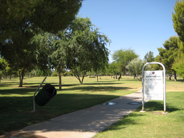
I left the bike trail at 36th St and headed south. 36th Street has a bike lane. Roadrunner Park is a park near the intersection of 36th St & Cactus. It hosts a farmers market every Saturday AM. I haven't actually checked it out yet, but I know it generates good crowds.
36th Street ends at Mountain View. I turn east on Mountain View and connect with the Dreamy Draw bike path. It begins at 32nd St & Mountain View. Here is the view from the trail. It runs parallel to SR51.

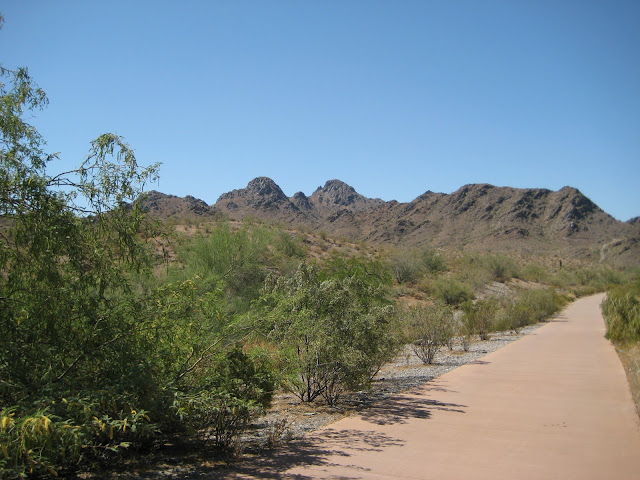
A view of the mountain preserve along the Dreamy Draw bike path.
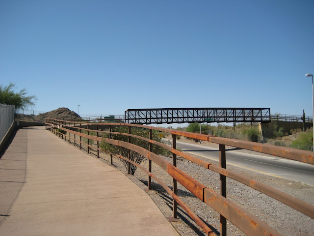
I take this bridge to cross an on-ramp where Northern intersects SR51.
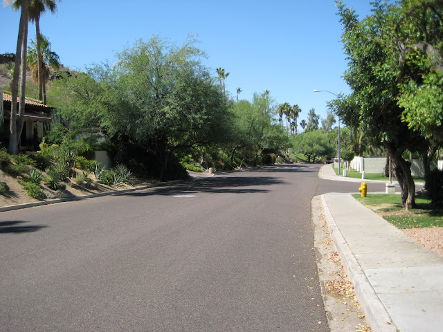
Heading south on Dreamy Draw Dr.

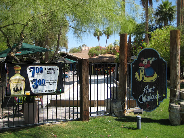
Aunt Chilada's! I went to a few happy hours here when I was in my 20s. They now have a Saturday and Sunday brunch from 10am-2pm. I didn't stop for the $7 Three Amigos shots.
Dreamy Draw Rd. ends at Glendale. I turned west and reconnected with the Arizona Canal and headed northwest towards 12th St. This is the view from the tunnel beneath 16th Street.

I exited the canal at 12th St and headed south. For a brief stretch, 12th St doubles as the Phoenix Sonoran Bikeway (PSB). The PSB runs from the Carefree Highway & Cave Creek Road all the way down to South Mountain. I've biked the whole way, but never in the same day. To read more about the PSB click here:
http://www.azbikeped.org/images/SonoranBike.pdf
I turned right on Maryland. The PSB continues along Maryland to 3rd Avenue. Here are some of the nice places along Maryland in between the 7s.

Murphy's Bridle Path (on Central & Maryland)

The Olympus Condominiums... which I think look cool.

Elevation Phoenix

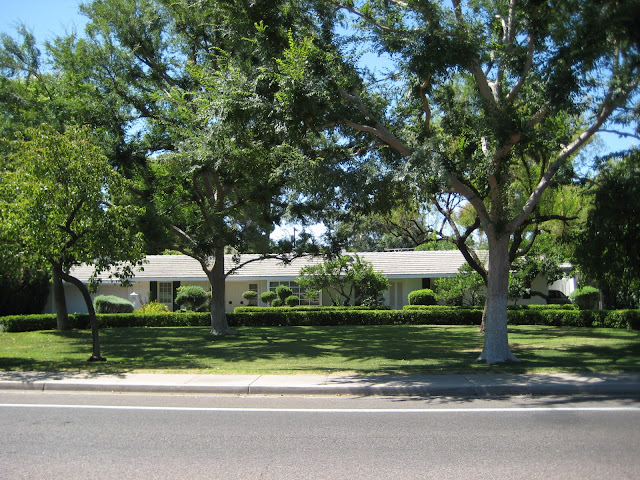
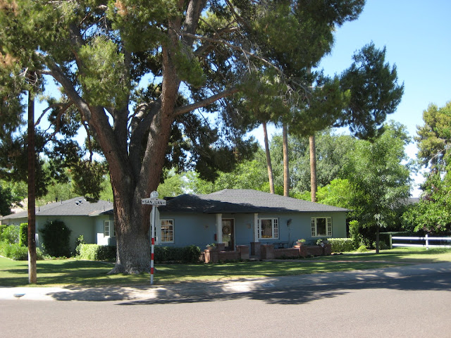
The PSB continues south where 3rd Avenue meets Maryland. In my opinion, the neighborhoods between Maryland and Missouri are some of the nicest in Phoenix. Here's some of the houses. I was jealous of everyone's lawn.

3rd Avenue ends abruptly (between Maryland & Bethany), but there is a nice pathway to reconnect you to it.

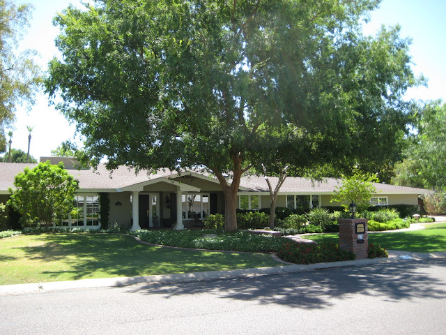
Nice homes:
There is a pedestrian bridge over the Grand Canal.

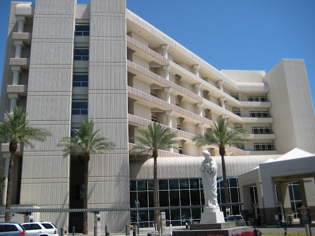
Vicelord John strongly recommends this hotel to out of town visitors. For the record, my wife and I spent a night here once and we thought it was fairly nice. Unfortunately, the rooftop bar was closed at the time.

A view of midtown from 3rd Avenue.

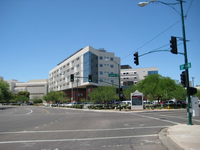
St Joseph's Amazing dot org (I'm headed West on Earll Dr to get to 5th Ave - the southbound portion of PSB continues there)
I like the 50's era apartments on Earll.
My daughter was born at St Joseph's Hospital two months ago.
Cruising down 5th Avenue through Willo.
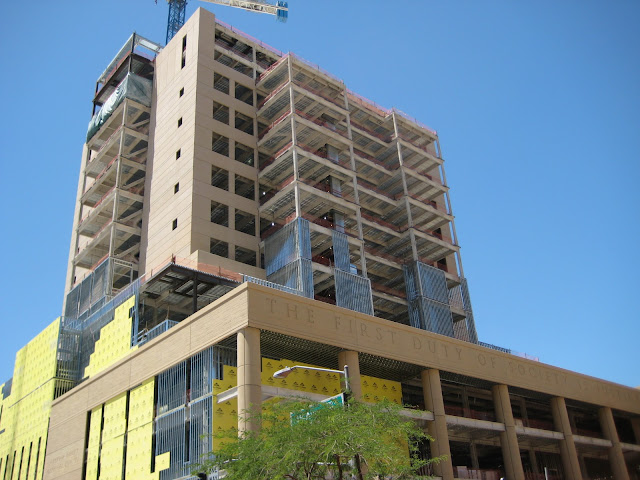
Now, instead of going home, I thought I'd do a brief downtown Phoenix construction update. First up, the Court Tower:
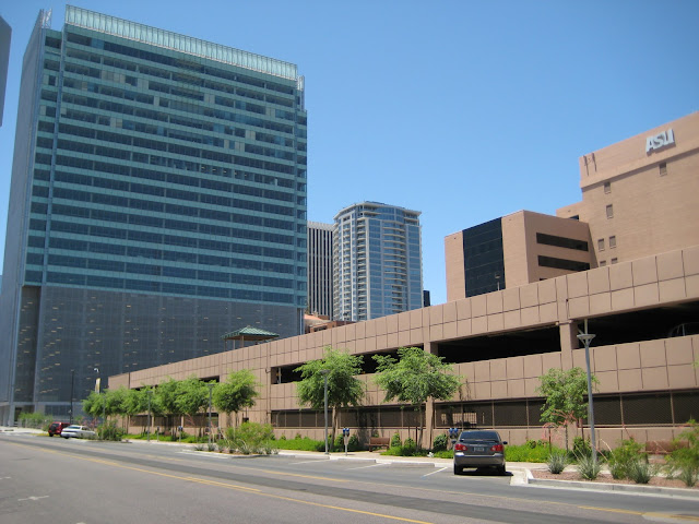
One Cityscape photo:

New landscaping at the Chase Tower. I wouldn't call it lush, but it's an improvement over what was there.

The streetscape along 1st Street near ASU DT. That reminds me. I was not expecting to see the old Ramada Inn/Sahara still there. A small section along Taylor St. was demolished, but the rest of it is still standing.
This is my favorite view of downtown:

Roosevelt Square was painted recently:

I'm going to wager that the Pita Jungle will open in August. I see that they are applying for some liquor licenses.

I'm home. I own a kegerator. It offers the perfect post-ride beverage. To quote Ferris Bueller, “It is so choice. If you have the means, I highly recommend you picking one up.” I'm drinking Four Peaks Hop Knot in case you're wondering (because I'd be).


 Prev
Prev


 Good job. With your route mapped, it shows you just how sprawled the metro area is since you covered a good amount riding. Incredible.

 Linear Mode
