That's amazing. Far too long was Vancouver without photo realistic 3D buildings that was previously available for Toronto and Calgary. Thanks for the update Dkaz.
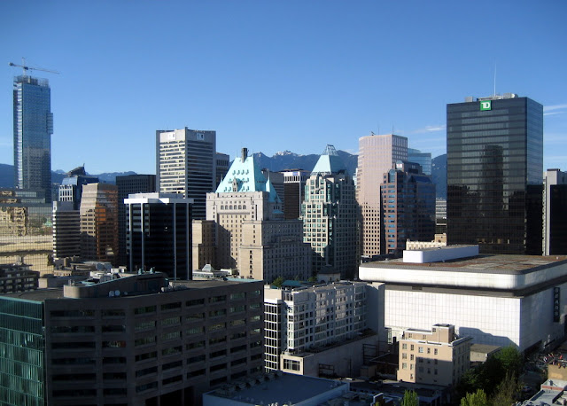
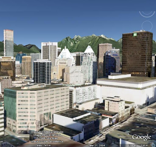
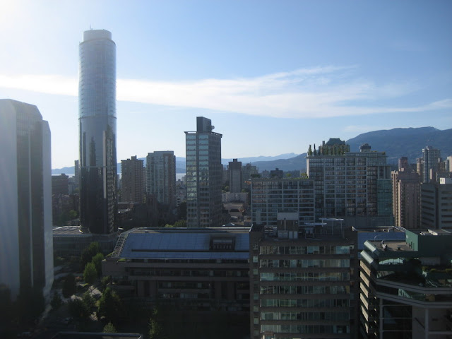
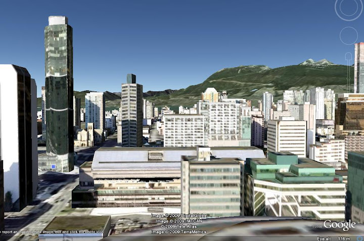
Great skyline shot! The realism is pretty impressive. Here are two photos I took last summer from the top of the 'Spot' on Seymour Street, and the corresponding view in Google Earth. I have the elevation exaggeration set to 1.5, so the mountains appear a bit taller in Google Earth than they are in reality:
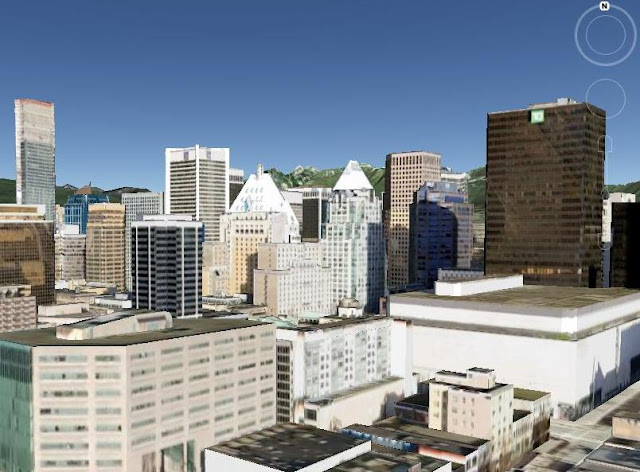
Edit: Same view with elevation exaggeration set to 1.0. Now the mountains are right where they should be.
Last edited by Locked In; Feb 7, 2009 at 3:30 PM.
Reason: including additional picture
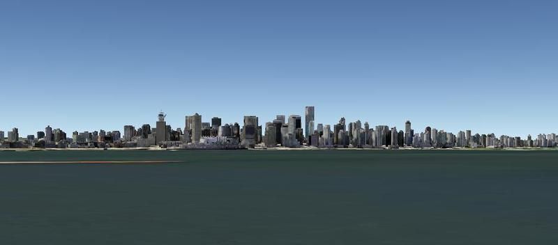
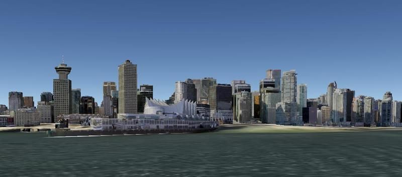
Google themselves did Vancouver in 3D, over 1400 buildings. Very few cities in the World are ALL 3D, most just have select landmarks that were done by members.
I really don't know how they did it, I'm thinking they somehow had a computer do it. Because if you look at the Shangri-la model for example, it still looks "Under construction", and even the streetscape is photorealistic.
Definitely one upping Microsoft's "birds eye view".
How can I see these buildings? When I load up Google Earth I get about 10 rendered buildings for Vancouver.
Hmm, give it time, I guess. Make sure "3D Buildings" is selected, and consider upgrading to Google Earth 5 which was just released. http://earth.google.com/
Under the 3D buildings bullet, extend it and check mark "Photorealistic" buildings. Leave "Gray" unchecked.
If this doesn't work, then do what I had to and change your cache size (in the options menu) to the max. My computer only let me go from 60 --> 256 but it allowed the 3D bulidings to be rendered.


 Linear Mode
