Quote:
Originally Posted by Keith P.

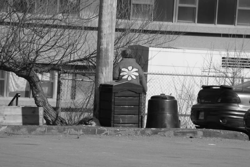
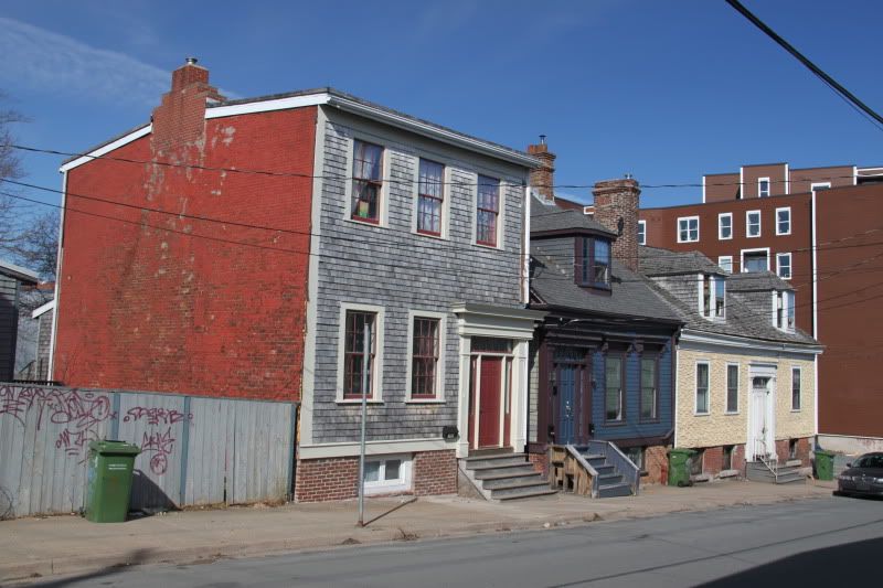
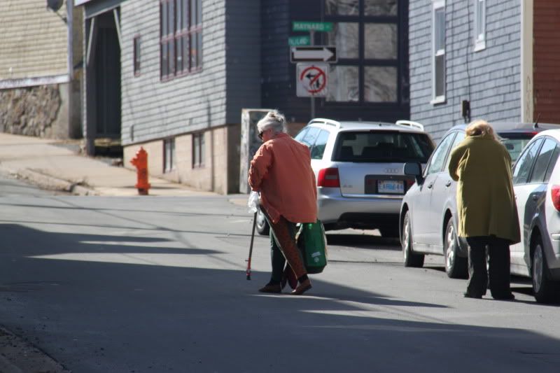
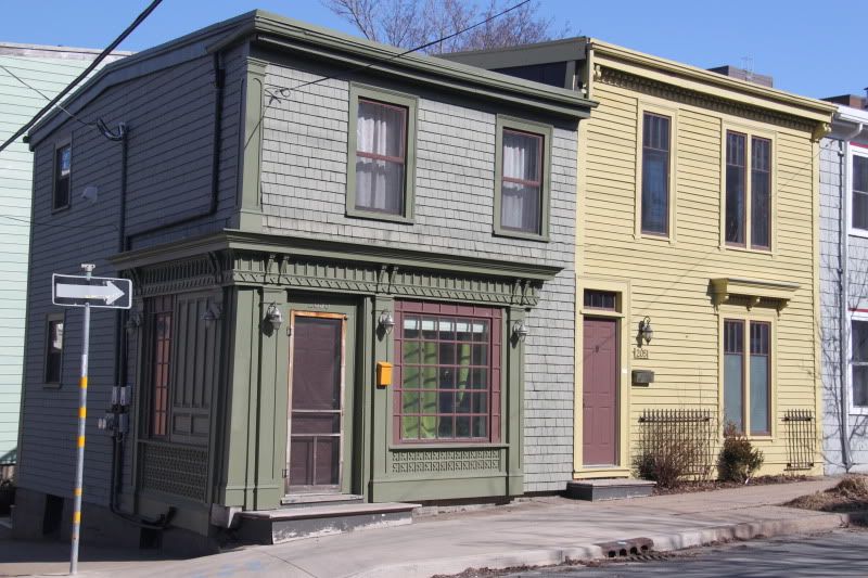
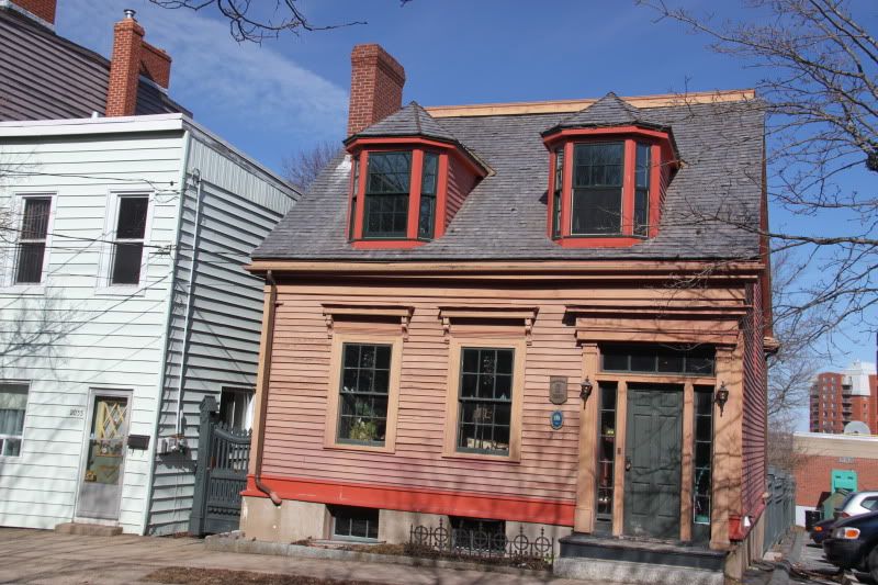
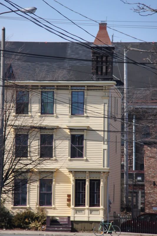
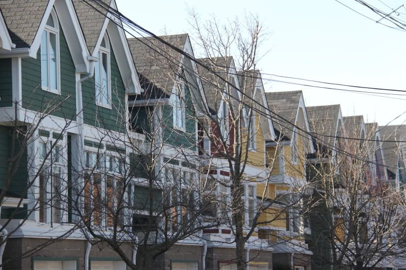
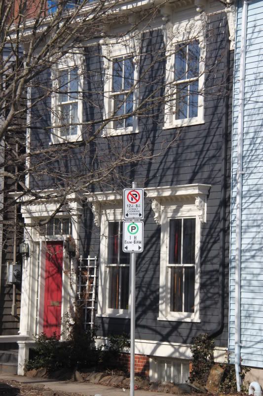
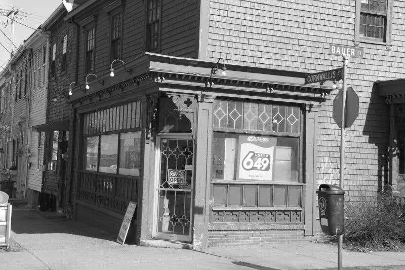
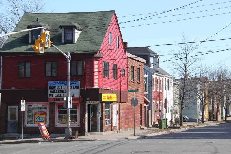
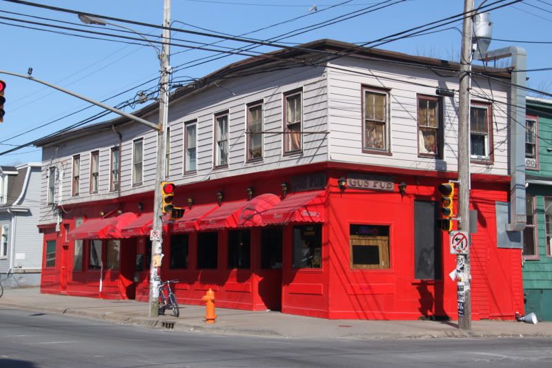
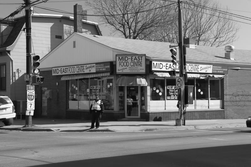
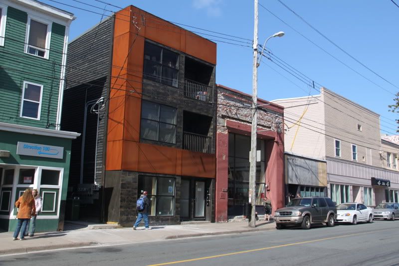
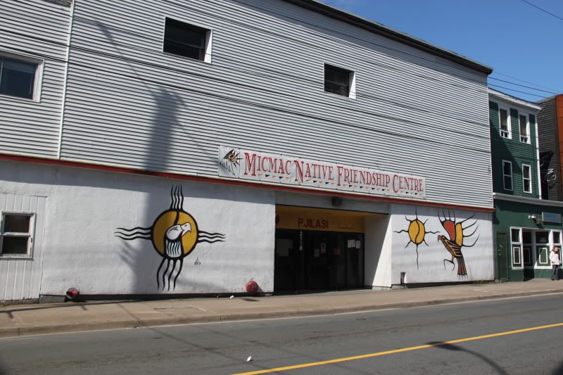
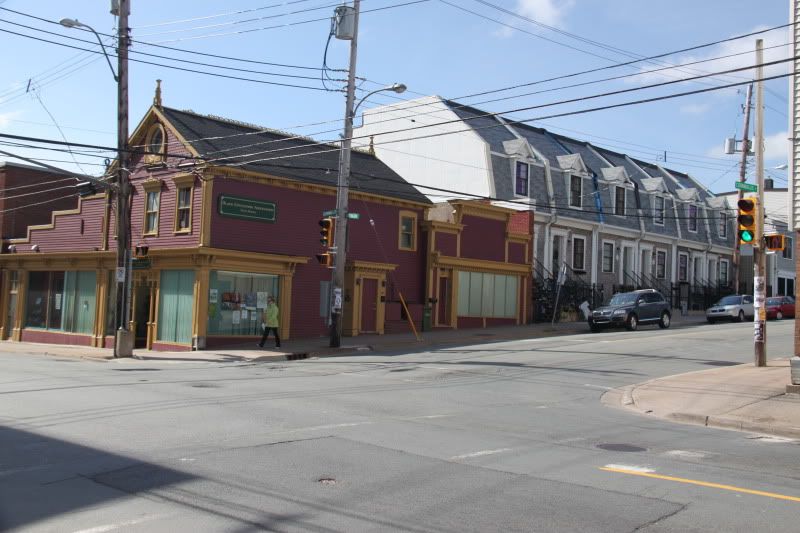
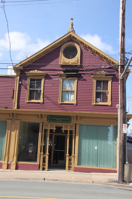
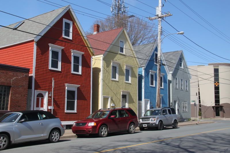
Hate to get all technical on you, but that is not the "North End", except for the shot of Gus', which is on the boundary. The "North End" is generally considered to be bounded on the south side by North St. What you have posted are pictures of central Halifax.
|
Are you always this confusing?
Boundaries:
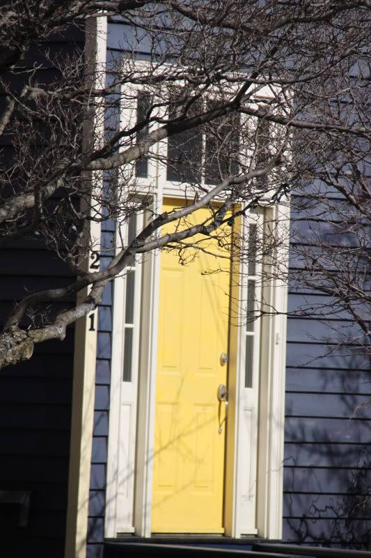
The neighbourhood referred to as the "North End" by Halifax residents was bounded on the east and north by "The Narrows" of Halifax Harbour and the Bedford Basin. Its other boundaries as not as sharply defined, but the western limit of the neighbourhood is generally agreed to lie somewhere between Oxford Street and Robie Street, with many settling on Windsor Street as a convenient delimiting line.
The southern boundary was, traditionally, the northern limit of General Cornwallis's original Halifax settlement along the slope of Citadel Hill (now Cogswell Street), and continuing along the northern edge of the North Common to Quinpool Road.
The northern boundary has steadily migrated toward the Bedford Basin since Halifax's founding. The boundary originally ended at North Street, just as the South End ended at South Street. Another community further to the north was Richmond, and was located on the eastern slope of Fort Needham. Further north of Richmond, at the end of the Campbell Road, was the black community of Africville.
By the end of the 19th century, the perception of the North End had come to generally include Richmond as well. Following its total destruction in the Halifax Explosion (December, 1917), Richmond never again regained its individual identity. The area underwent significant redevelopment during the inter-war period and gradually became an extension of the original North End.


 Prev
Prev


 Linear Mode
