Toronto in 1818 ("York" at the time). At this point it was 25 years old but still little more than a village, with a population of about 1,000.
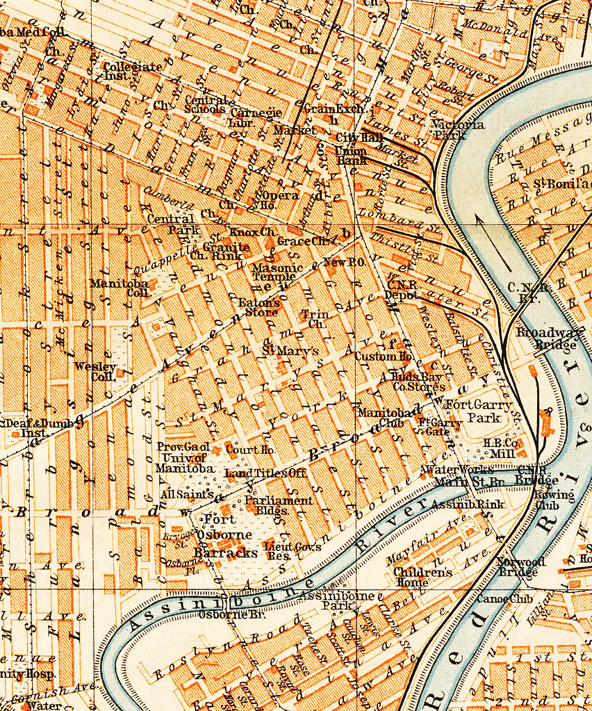
 Larger (pdf)
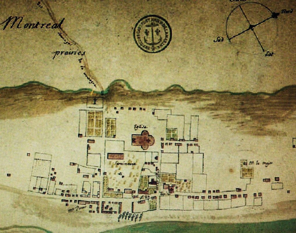
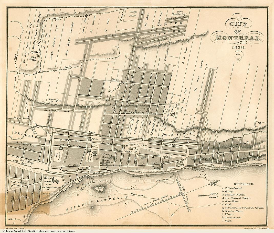
1827. Population at this time would've been about 2,000-3,000.
 Larger
1842
 Larger
1851. Population 30,000 (about 90% of whom were Irish), by this point it had become the third-largest city in the country.
 Larger
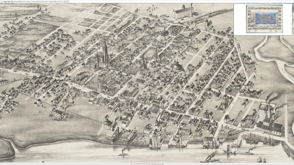
1876 bird's eye view. At this point it was rapidly industrializing and had become Canada's second-largest city.
 Larger
1892 bird's eye view & streetcar map.
 Larger
1892 map of the city & newly developing suburbs, with the beltline railway (not all of these areas were necessarily built up at that point though).
 Larger
1898, showing city boundaries. Population approximately 230,000.
 Larger
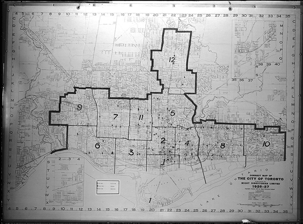
1920s, showing municipal & ward boundaries. Note that at this point, the harbour has been filled in.
All of the above maps (along with many more) with the exception of the last one, came from here:
http://oldtorontomaps.blogspot.ca/p/index-of-maps.html
Also came across this interactive Google Maps-style map of Toronto from 1858:
http://zoom.it/SSOg#full


 Prev
Prev


 Linear Mode
