HomeDiagramsDatabaseMapsForum About
     

Go Back   SkyscraperPage Forum > Regional Sections > United States > Pacific West


Reply

 
Thread Tools Display Modes
     
     
  #21  
Old Posted Nov 25, 2012, 5:07 AM
dragonsky dragonsky is offline
Registered User
 
Join Date: Sep 2005
Posts: 3,132
-SkyRose Chapel at Rose Hills (34.0108,-118.0219)
-Buddhist Memorial Columbarium (34.0028,-118.0224)
Visitation ends at approximately 5:00 p.m.
Reply With Quote
     
     
  #22  
Old Posted Dec 24, 2012, 5:58 AM
dragonsky dragonsky is offline
Registered User
 
Join Date: Sep 2005
Posts: 3,132
-Scholl Canyon Golf Course in Glendale
3800 East Glenoaks Blvd, Glendale, CA 91206

Golf at Los Angeles by Lucas Janin, on Flickr
Reply With Quote
     
     
  #23  
Old Posted Jan 2, 2013, 4:54 AM
dragonsky dragonsky is offline
Registered User
 
Join Date: Sep 2005
Posts: 3,132
Quote:
Originally Posted by Los Angeles Times

Griffith Park was the most popular film location again in 2012
The city-owned park has been a perennial favorite for location scouts. Other sites in the top 10 include Point Dume in Malibu and the 6th Street Bridge near downtown L.A.
By Richard Verrier, Los Angeles Times
6:00 PM PST, January 1, 2013

Griffith Park, Point Dume, the 6th Street Bridge near downtown L.A. and a former community hospital in Boyle Heights reputed to be haunted ranked among the most popular film locations in 2012, according to a new survey.

Eight of the top 10 sites for shoots of movies, TV shows, commercials and music videos on city and county streets are publicly owned, the annual survey conducted for the Los Angeles Times by FilmL.A. Inc. found.

"We continue to see a considerable amount of filming that happens on government-owned properties or facilities, from beaches and parks, to public schools and libraries," said Phil Sokoloski, spokesman for FilmL.A., which handles film permits. "The list underscores the importance of having a good working relationship between the film industry and local government authorities."

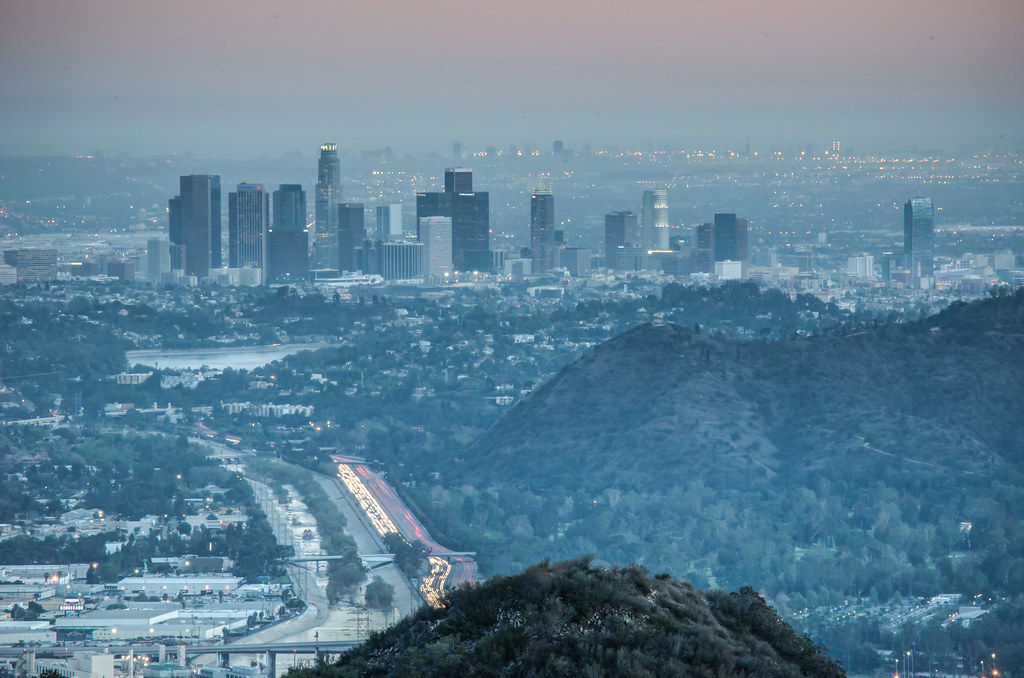
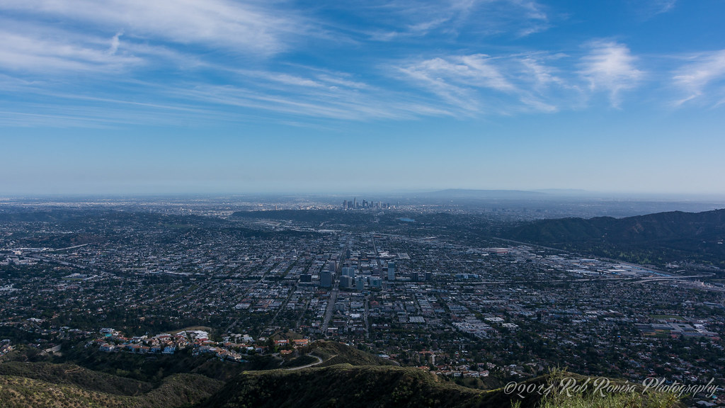
Griffith Park was again the busiest site for location filming last year. The most popular canyon area, known as the Bird Sanctuary, generated 409 production days — 63 more than in 2011 — including shoots for the TV crime dramas "Southland" and "Sons of Anarchy." (One production day is defined as a crew's permission to film at a single location in a 24-hour period.)

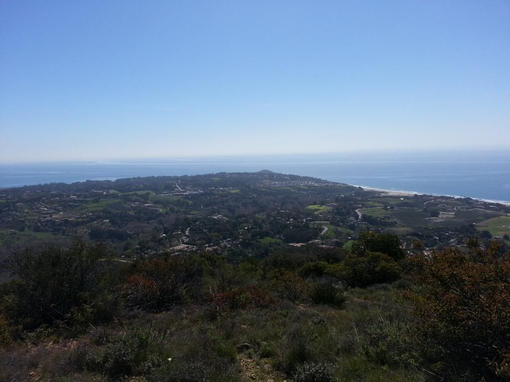
Spanning more than 4,210 acres between the hills of Los Feliz and Burbank, the city-owned park has been a perennial favorite for location scouts because of its cedar grove, mountain roads and iconic observatory, famously portrayed in the James Dean classic "Rebel Without a Cause."

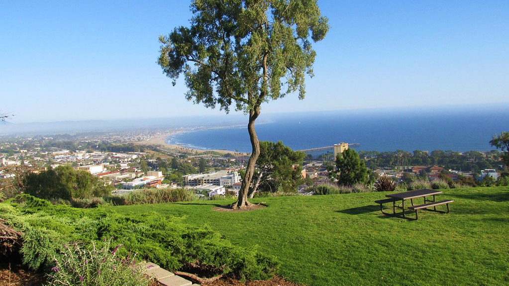
Point Dume State Beach on the Malibu coast was the second busiest locale with 163 production days, including shoots for the TV series "Modern Family" and auto commercials for Dodge, Fiat, Subaru and Carmax, among others.

The beach has a long cinematic tradition. Its cliffs and rocky shore provided a backdrop for movies such as 1968's "Planet of the Apes" and the Coen brothers' 1991 drama "Barton Fink." Nonetheless, it was the first time since the survey began three years ago that Point Dume ranked among the top 10 locations.

Dockweiler State Beach in Playa del Rey and Will Rogers State Beach in Pacific Palisades also had a busy year, ranking third and eighth respectively in production days. Those beaches drew the television shows "NCIS: Los Angeles," "90210," "Parenthood" and "The Office," according to the FilmL.A. data. Venice Beach, which ranked second last year, fell to seventh this year.

Some of the increased beach activity may be related to steps Los Angeles County took early in 2012 to ease some restrictions on filming on county beaches, such as allowing the use of sand digging and fireworks.

The 6th Street Bridge near downtown Los Angeles landed in fifth place. Over the decades scores of commercials, music videos (including one recently for the band Green Day) and movies have been shot on or underneath the bridge, including the Batman sequel "The Dark Knight Rises" and "Seven Psychopaths," a crime comedy starring Woody Harrelson, Sam Rockwell and Colin Farrell.

Producers from "Seven Psychopaths" used the bridge in a nighttime car scene.

"Cinematographers love it because you get the downtown background, you get the lights and you get that nice long driving shot. It's a great bridge," said Robert Foulkes, the "Psychopaths" location manager.

Another popular spot last year was the former Linda Vista Community Hospital in Boyle Heights. The location, long rumored to be haunted, has played host over the years to such shows as "ER" and the Travel Channel's "Ghost Stories," as well as the HBO series "True Blood" and the crime drama "Criminal Minds."

Television shows led by "Private Practice," "The Client List," "NCIS: Los Angeles" and "Southland" generated the most production days in 2012, FilmL.A.'s data show. Among movies, the features "Bad Words," "Star Trek Into Darkness" and "Paranormal Activity 4" had the most location filming in Los Angeles.
Read More: http://www.latimes.com/entertainment...,1023327.story

The LA Times has compiled the list:

1. Griffith Park (its Bird Sanctuary area, part of which just reopened for the first time since the 2007 Griffith Park fire, saw the most filming days)
2. Point Dume State Beach in Malibu (its first time in the top 10 in the three years since the list has been going)
3. Dockweiler State Beach in Playa del Rey
4. Linda Vista Community Hospital, which is A) spooky as hell and B) getting a big redevelopment
5. The Sixth Street Bridge, which is set to be knocked down (it has concrete cancer) and replaced with a swoopy HNTB design
6. Elysian Park
7. Venice Beach
8. Will Rogers State Beach in Pacific Palisades
9. Herald-Examiner Building, which has been waiting and waiting on a redevelopment
10. LA County and USC Medical Center

Last edited by dragonsky; Jan 4, 2013 at 4:54 AM.
Reply With Quote
     
     
  #24  
Old Posted Jan 15, 2013, 4:44 PM
dragonsky dragonsky is offline
Registered User
 
Join Date: Sep 2005
Posts: 3,132
Quote:
Originally Posted by Metro - Los Angeles County Metropolitan Transportation Authority - The Source

This photo explains why Metro is building the Westside/Purple Line Extension
Posted January 14, 2013 by Steve Hymon


Westwood & Century City by Metro - Los Angeles, on Flickr
Steve Hymon took this photo Sunday afternoon from the Backbone Trail above the Pacific Palisades.
Read More: http://thesource.metro.net/2013/01/1...ine-extension/
Reply With Quote
     
     
  #25  
Old Posted Jan 18, 2013, 3:03 AM
dragonsky dragonsky is offline
Registered User
 
Join Date: Sep 2005
Posts: 3,132
-Cherry Canyon Trails - Flint Canyon Trail
(34.16856,-118.21982) Downtown LA + Downtown Glendale + SR-2 / SR-134 Interchange
Quote:
Originally Posted by Googiesque
Reply With Quote
     
     
  #26  
Old Posted Jan 25, 2013, 3:07 PM
dragonsky dragonsky is offline
Registered User
 
Join Date: Sep 2005
Posts: 3,132
-Queensway Bridge (Downtown Long Beach)
33.7572,-118.19798


Long Beach Harbor Panoramic by airbutchie, on Flickr
Reply With Quote
     
     
  #27  
Old Posted Feb 18, 2013, 2:21 AM
dragonsky dragonsky is offline
Registered User
 
Join Date: Sep 2005
Posts: 3,132
-Ocean Overlook at Charmlee Wilderness Park (34.04738,-118.8793)
Malibu


http://www.flickr.com/photos/kristinabliss/5701492914/


-Encinal Canyon Rd in Malibu (Malibu)
34.04396,-118.87589


http://www.flickr.com/photos/vitto1974/3785671733/
Reply With Quote
     
     
  #28  
Old Posted Mar 11, 2013, 3:47 AM
dragonsky dragonsky is offline
Registered User
 
Join Date: Sep 2005
Posts: 3,132
-Zuma Ridge (34.03883,-118.8226)
Malibu

Reply With Quote
     
     
  #29  
Old Posted Mar 31, 2013, 4:21 AM
dragonsky dragonsky is offline
Registered User
 
Join Date: Sep 2005
Posts: 3,132
-Azusa Peak via Garcia Trail (34.15605,-117.88827)


http://danshikingblog.blogspot.com/2...ke-1-1-11.html
Reply With Quote
     
     
  #30  
Old Posted Apr 27, 2013, 11:59 PM
dragonsky dragonsky is offline
Registered User
 
Join Date: Sep 2005
Posts: 3,132
-Glenoaks Canyon (34.1463,-118.2105)
Downtown Los Angeles & Downtown Glendale


Green mountain by Lucas Janin | www.lucasjanin.com, on Flickr
Reply With Quote
     
     
  #31  
Old Posted May 21, 2013, 3:19 PM
dragonsky dragonsky is offline
Registered User
 
Join Date: Sep 2005
Posts: 3,132
-Betty B. Dearing Trail (34.1331,-118.4039)
San Fernando Valley and Universal City
Reply With Quote
     
     
  #32  
Old Posted May 27, 2013, 7:49 PM
dragonsky dragonsky is offline
Registered User
 
Join Date: Sep 2005
Posts: 3,132
-Grant Park in Ventura (34.2846,-119.2962)


View from The Cross by cajun beachbum, on Flickr
Reply With Quote
     
     
  #33  
Old Posted Jun 1, 2013, 11:12 PM
dragonsky dragonsky is offline
Registered User
 
Join Date: Sep 2005
Posts: 3,132
-East Ridge View Trail in Peters Canyon Regional Park
(33.7734,-117.7606 & 33.7592,-117.7696)Peters Canyon & Peters Canyon Reservoir
Reply With Quote
     
     
  #34  
Old Posted Jun 18, 2013, 3:10 AM
dragonsky dragonsky is offline
Registered User
 
Join Date: Sep 2005
Posts: 3,132
Echo Park Lake - 751 Echo Park Ave, Los Angeles, CA 90026


http://en.wikipedia.org/wiki/File:Ec...es_skyline.JPG
Reply With Quote
     
     
  #35  
Old Posted Sep 22, 2013, 3:11 AM
dragonsky dragonsky is offline
Registered User
 
Join Date: Sep 2005
Posts: 3,132
-Observation Deck atop the Theme Building at LAX airport (Free Admission)
The same entrance as the Encounter Restaurant, ask the janitor
open from 8 a.m. to 5 p.m. on Saturdays and Sundays
Reply With Quote
     
     
  #36  
Old Posted Dec 10, 2013, 3:30 AM
dragonsky dragonsky is offline
Registered User
 
Join Date: Sep 2005
Posts: 3,132
-Forest Lawn Museum (Downtown Glendale)
34.1284,-118.2456 (open to 5 pm)
Reply With Quote
     
     
  #37  
Old Posted Dec 23, 2013, 12:21 AM
dragonsky dragonsky is offline
Registered User
 
Join Date: Sep 2005
Posts: 3,132
-Turtle Rock (33.6498,-117.8097 & 33.6418,-117.8018)
Irvine, Costa Mesa, & Century City


Century City to Hollywood Sign from Irvine P3360360 c Stitch-002 by moondoggie71, on Flickr
Reply With Quote
     
     
  #38  
Old Posted Dec 26, 2013, 12:51 AM
friedpez's Avatar
friedpez friedpez is offline
Registered User
 
Join Date: Mar 2006
Location: LA Area
Posts: 308
Quote:
Originally Posted by dragonsky View Post
-Turtle Rock (33.6498,-117.8097 & 33.6418,-117.8018)
Irvine, Costa Mesa, & Century City


Century City to Hollywood Sign from Irvine P3360360 c Stitch-002 by moondoggie71, on Flickr
I've been hiking in and around Irvine for the past three years now and have never managed to see Century City, ironically where my parents live, from out here. Downtown is visible on most clear days. That is one sweet shot! Thanks for sharing.
Reply With Quote
     
     
  #39  
Old Posted Mar 19, 2014, 3:54 AM
dragonsky dragonsky is offline
Registered User
 
Join Date: Sep 2005
Posts: 3,132
-Verdugo Peak via Wildwood Canyon Trail
Trailhead: 34.2028,-118.2986 (Wildwood Canyon Park)
Burbank & Downtown Los Angeles


Los Angeles at Sunset by nikhilo, on Flickr
Reply With Quote
     
     
  #40  
Old Posted May 4, 2014, 2:37 AM
dragonsky dragonsky is offline
Registered User
 
Join Date: Sep 2005
Posts: 3,132
-Verdugo Mountain - Las Flores Mtwy (34.1829,-118.2503)
Downtown Glendale & Downtown Los Angeles


Glendale, California by RobRovira, on Flickr
Reply With Quote
     
     
This discussion thread continues

Use the page links to the lower-right to go to the next page for additional posts
 
 
Reply

Go Back   SkyscraperPage Forum > Regional Sections > United States > Pacific West
Forum Jump


Thread Tools
Display Modes

Forum Jump


All times are GMT. The time now is 6:49 PM.

     
SkyscraperPage.com - Archive - Privacy Statement - Top

Powered by vBulletin® Version 3.8.7
Copyright ©2000 - 2024, vBulletin Solutions, Inc.