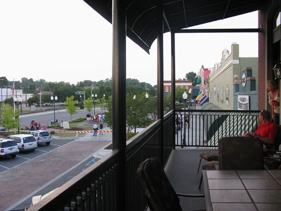
ttownfeen, last week you requested "pictures from the actual city of Auburn outside of the campus area." I've been searching
online the last few days, but it's hard to find any photos that aren't of the university or the downtown area (which has
already been featured earlier in this thread). I did find a few photos to fulfill your request, but mostly of the
neighboring city of Opelika.
However, I did find some awesome (make that AUsome...LOL) aerials of Auburn (and a few of Opelika), some of which show how
the university relates to the surrounding city.
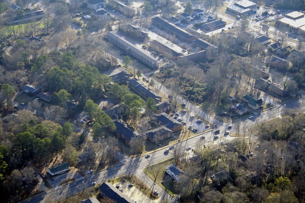
These first two aerials were shot from above the wooded residential areas north of the university and downtown looking south.
Downtown Auburn lies beyond the left edge of these photos, and in the first photo, the commercial corridor along South
College Street at I-85 is visible in the distance:
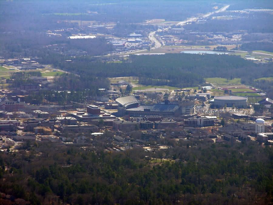 Photographer: Matt Laney (mat1583 at Flickr)
Source: http://www.flickr.com/photos/mattlaney/410639846/
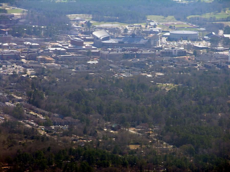 Photographer: Matt Laney (mat1583 at Flickr)
Source: http://www.flickr.com/photos/mattlaney/410639800/
.
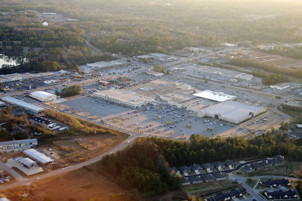
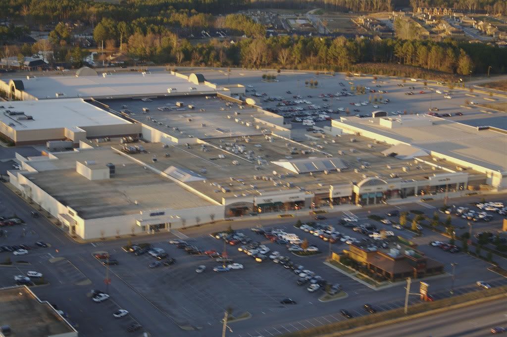
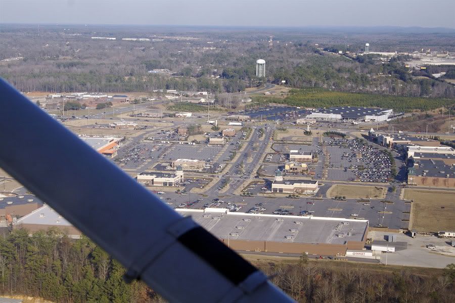
Here is an aerial view of Village Mall (anchored by Belk, Dillard's, JCPenney, and Sears) which is located on Opelika Road
(US 29) about 2 miles east-northeast of Downtown Auburn and Auburn University (visible in the distance on the left).
Downtown Opelika is located about 4 miles in the opposite direction.
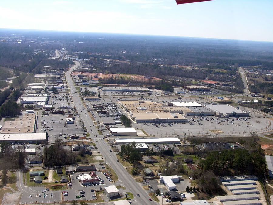 Photographer: Matt Laney (mat1583 at Flickr)
Source: http://www.flickr.com/photos/mattlaney/410639688/
.
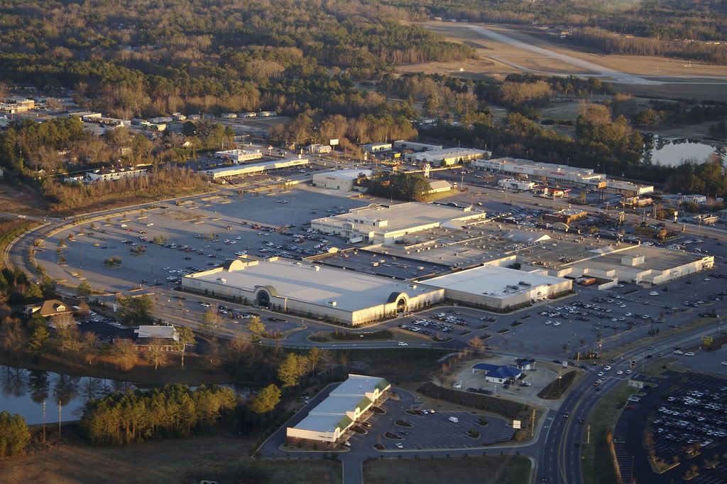
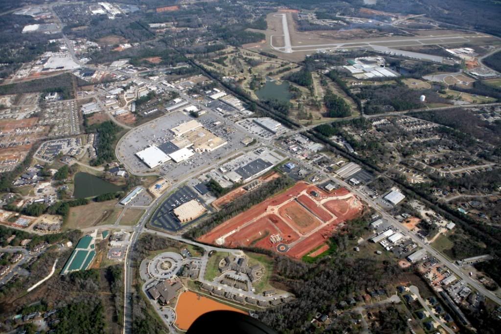
Aerial view of Indian Pines Golf Course, situated between Village Mall (to the right) and the Auburn-Opelika Robert G. Pitts
Airport:
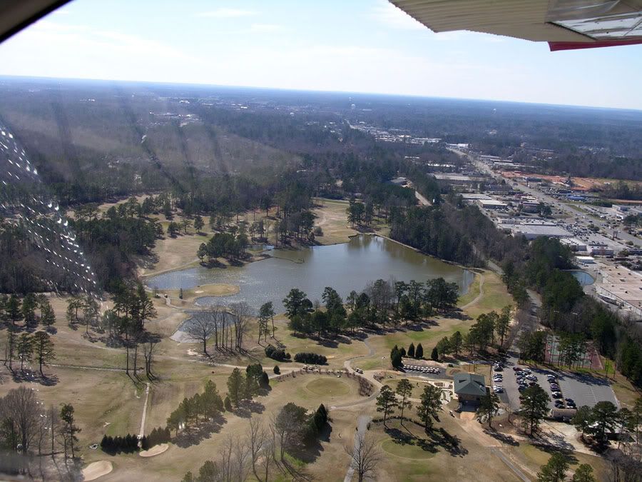 Photographer: Matt Laney (mat1583 at Flickr)
Source: http://www.flickr.com/photos/mattlaney/410639609/
.
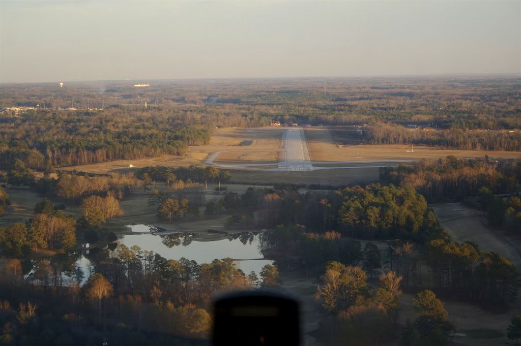
The airport and I-85 at the Glenn Avenue exit:
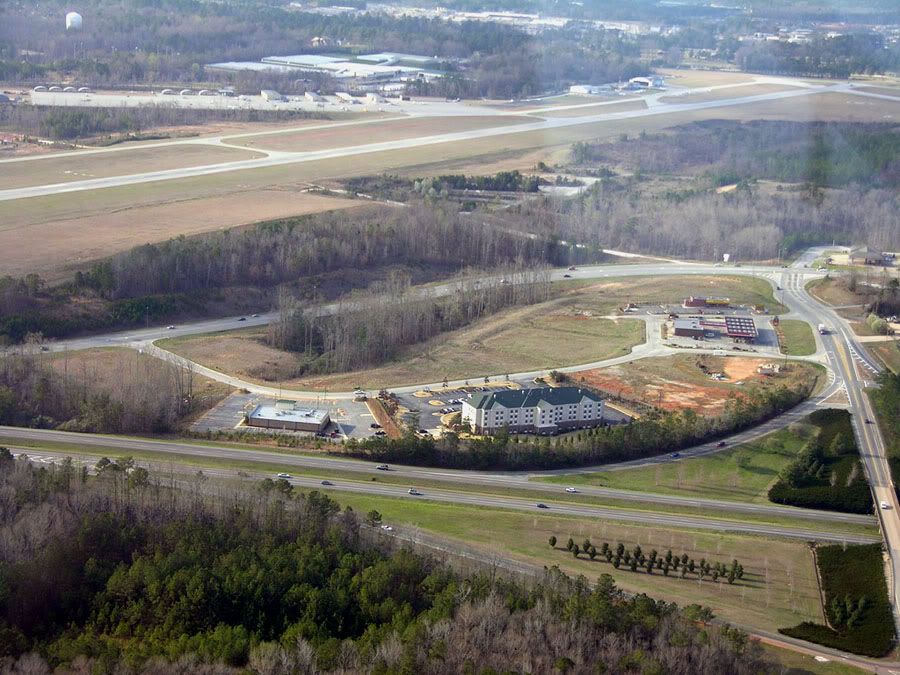 Photographer: Matt Laney (mat1583 at Flickr)
Source: http://www.flickr.com/photos/mattlaney/111425939/
.
Auburn University from the west with Downtown Auburn and Opelika Road in the upper left corner and the airport at the top:
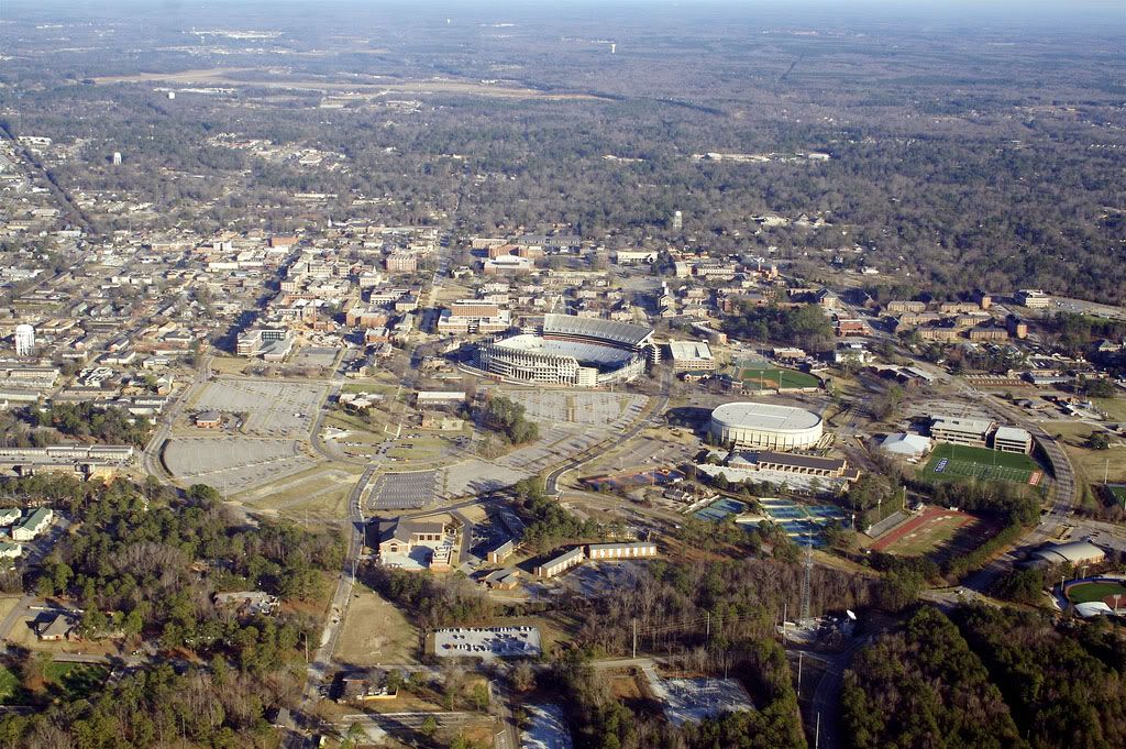 Photographer: Rushabh Kothari (magnetoo at Flickr)
Source: http://www.flickr.com/photos/magneto/348032522/
.
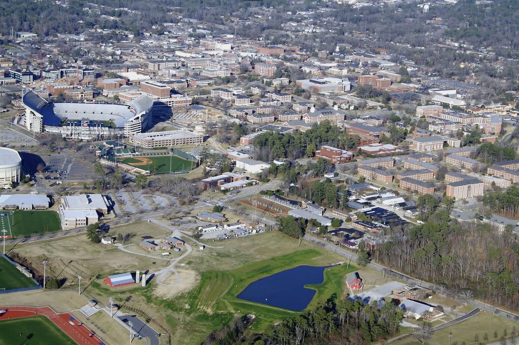
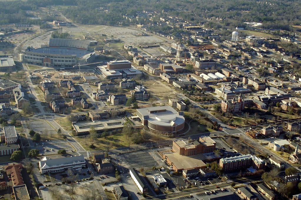
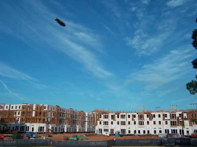
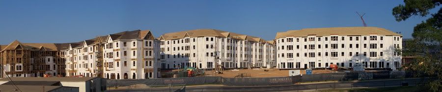
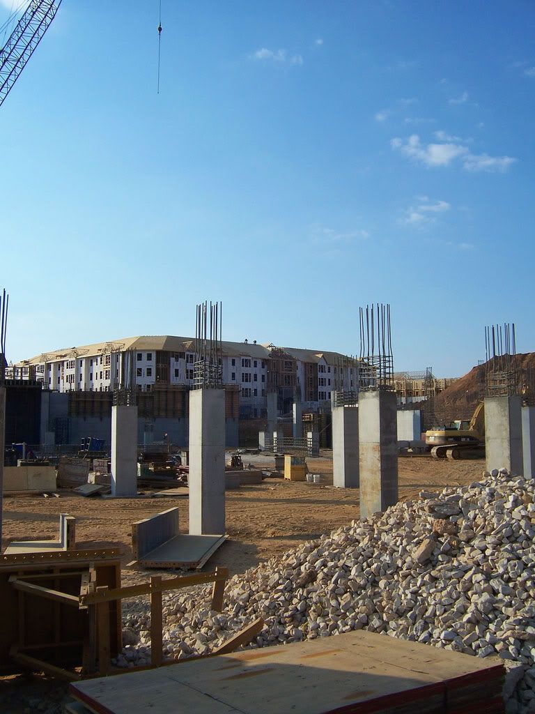
Closer view of the athletic facilities. Most of the parking area on the left is being replaced by the new arena and The
Village student housing (currently under construction).
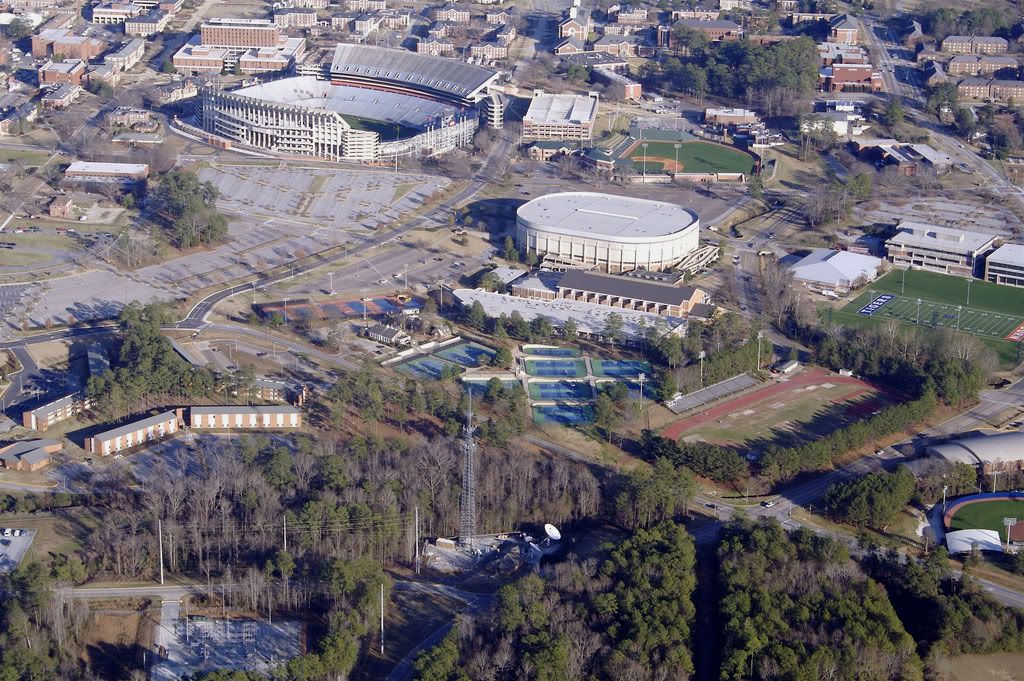 Photographer: Rushabh Kothari (magnetoo at Flickr)
Source: http://www.flickr.com/photos/magneto/348032883/
.
You can see more of the Opelika Road commercial corridor in this aerial (top left):
 Photographer: Rushabh Kothari (magnetoo at Flickr)
Source: http://www.flickr.com/photos/magneto/348033265/
.
Athletic facilities (top) and intramural fields (bottom) with a portion of new fraternity row at the very bottom:
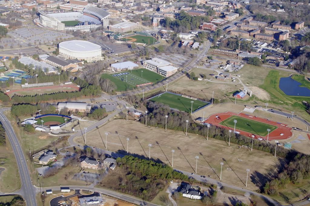 Photographer: Rushabh Kothari (magnetoo at Flickr)
Source: http://www.flickr.com/photos/magneto/348033563/
.
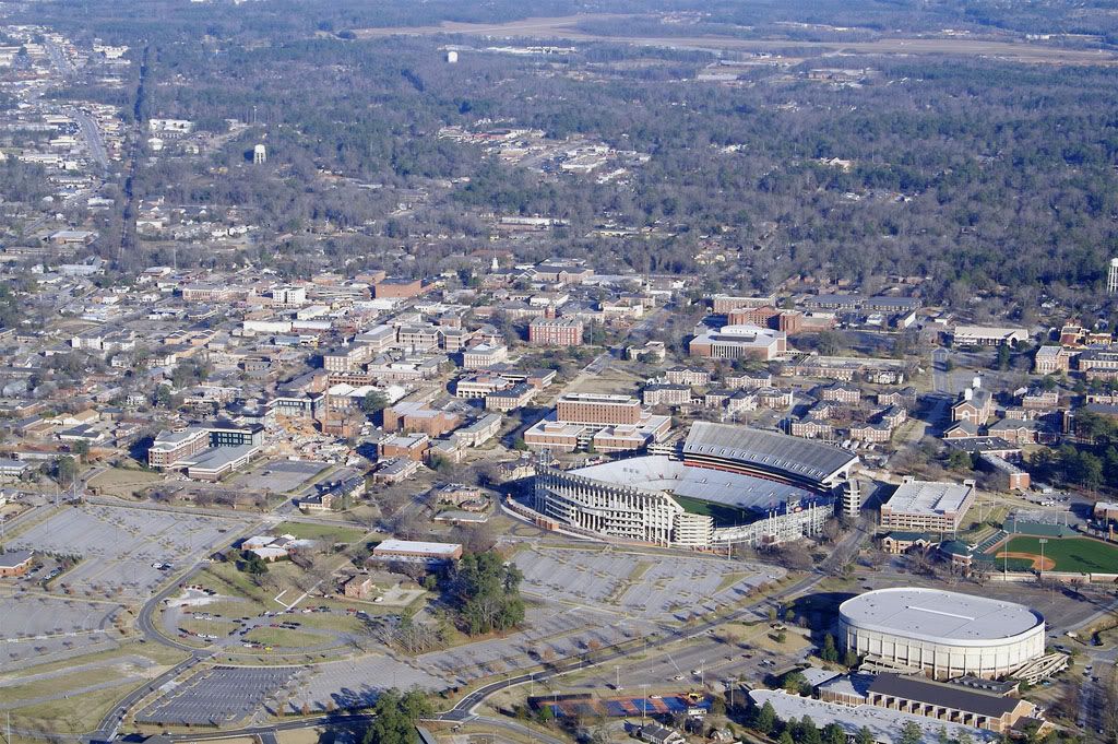
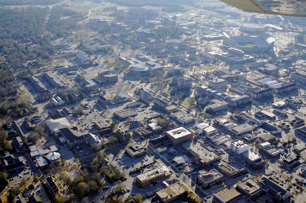
Auburn University from the southwest with downtown at top center:
 Photographer: Rushabh Kothari (magnetoo at Flickr)
Source: http://www.flickr.com/photos/magneto/348033955/
.
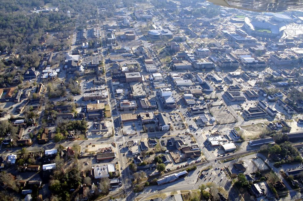
View from the south:
 Photographer: Rushabh Kothari (magnetoo at Flickr)
Source: http://www.flickr.com/photos/magneto/348034244/
.
View from the southeast:
 Photographer: Rushabh Kothari (magnetoo at Flickr)
Source: http://www.flickr.com/photos/magneto/348034514/
.
View from the east:
 Photographer: Rushabh Kothari (magnetoo at Flickr)
Source: http://www.flickr.com/photos/magneto/348034783/
.
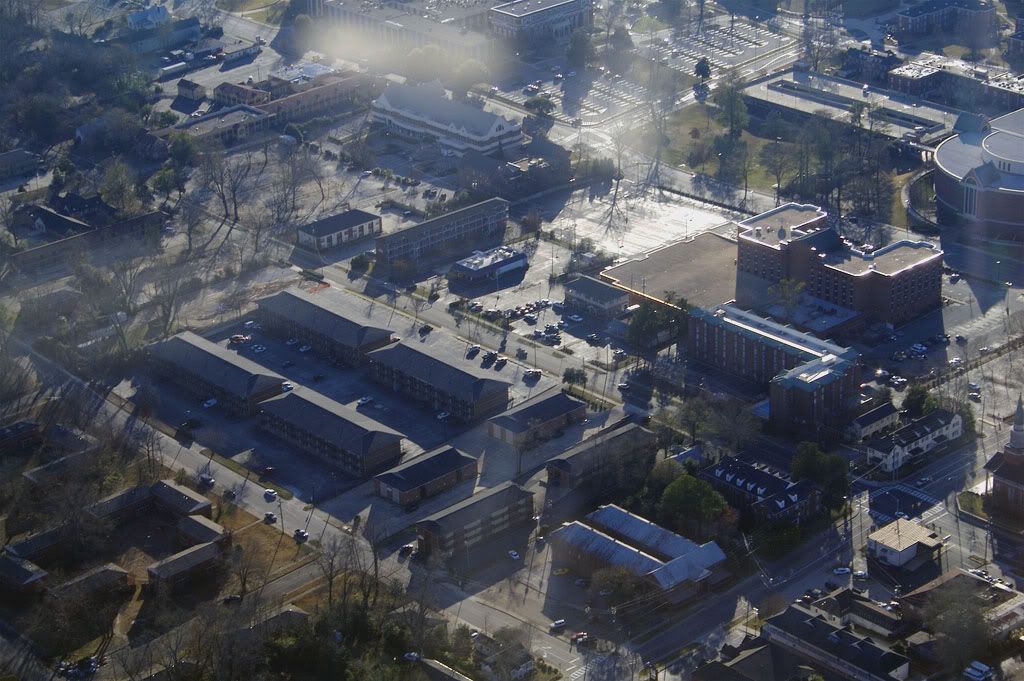
Close up view of the library and hotel:
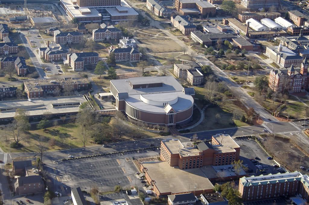 Photographer: Rushabh Kothari (magnetoo at Flickr)
Source: http://www.flickr.com/photos/magneto/348035017/
.
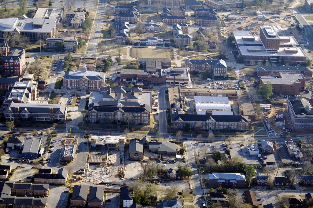
Close up views of Samford Hall and adjacent buildings:
 Photographer: Rushabh Kothari (magnetoo at Flickr)
Source: http://www.flickr.com/photos/magneto/348035285/
 Photographer: Rushabh Kothari (magnetoo at Flickr)
Source: http://www.flickr.com/photos/magneto/348035526/
.
Some of the off-campus apartment buildings to the east of the university including Auburn Hall, the building with two
parallel wings and lighter-colored roof at the bottom (I lived there during my freshman year - 1986-87):
 Photographer: Rushabh Kothari (magnetoo at Flickr)
Source: http://www.flickr.com/photos/magneto/348035758/
.
View from the northeast (top) and north (bottom) with Downtown Auburn in the foreground:
 Photographer: Rushabh Kothari (magnetoo at Flickr)
Source: http://www.flickr.com/photos/magneto/348036074/
 Photographer: Rushabh Kothari (magnetoo at Flickr)
Source: http://www.flickr.com/photos/magneto/348036416/
.
Many more off-campus apartment buildings can be found to the north of the university:
 Photographer: Rushabh Kothari (magnetoo at Flickr)
Source: http://www.flickr.com/photos/magneto/348036678/
 Photographer: Rushabh Kothari (magnetoo at Flickr)
Source: http://www.flickr.com/photos/magneto/348036948/
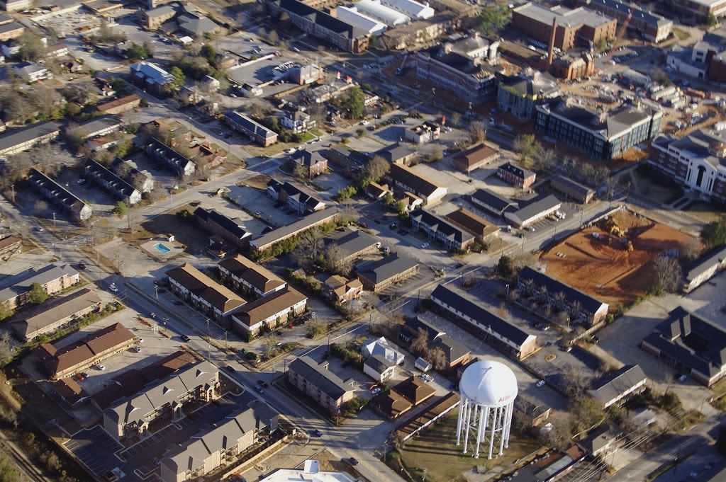 Photographer: Rushabh Kothari (magnetoo at Flickr)
Source: http://www.flickr.com/photos/magneto/348037182/
.
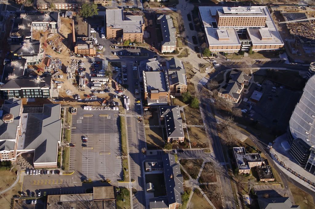
Close up view of the Shelby Center (Phase I) during construction:
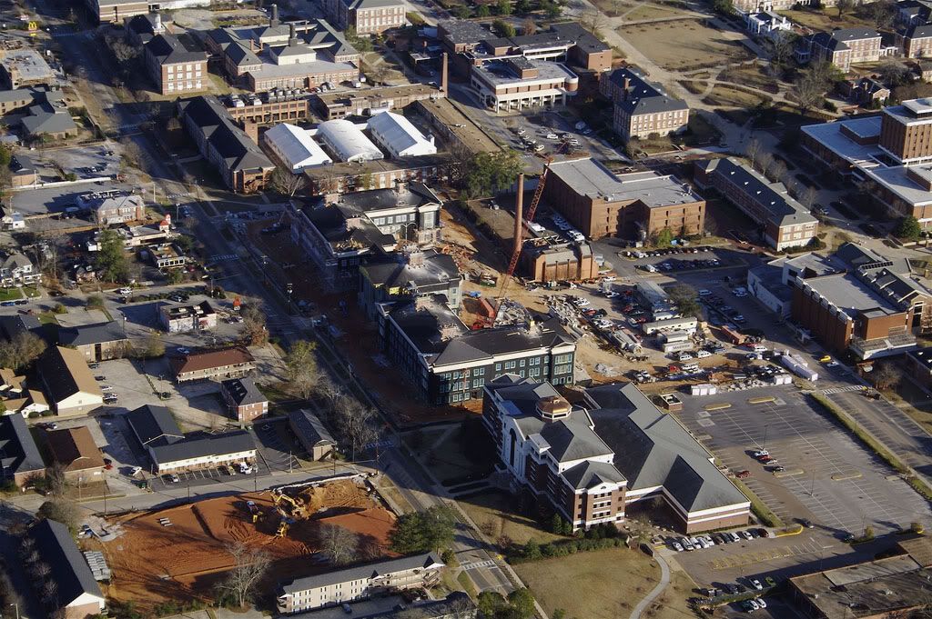 Photographer: Rushabh Kothari (magnetoo at Flickr)
Source: http://www.flickr.com/photos/magneto/348037419/
.
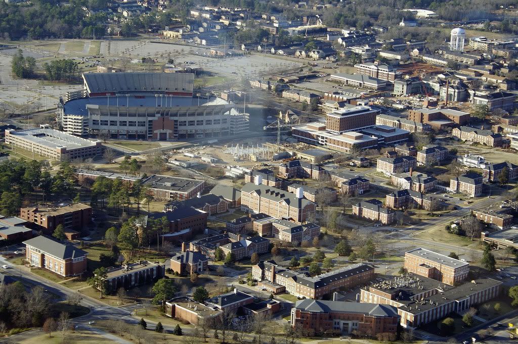
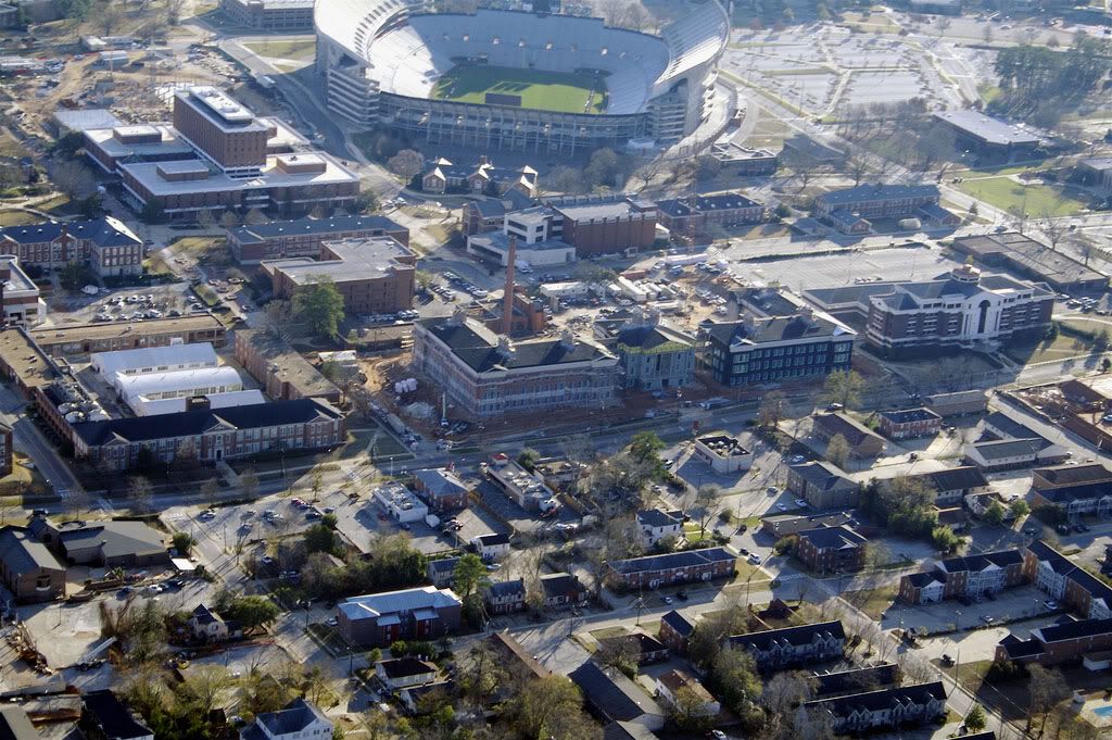
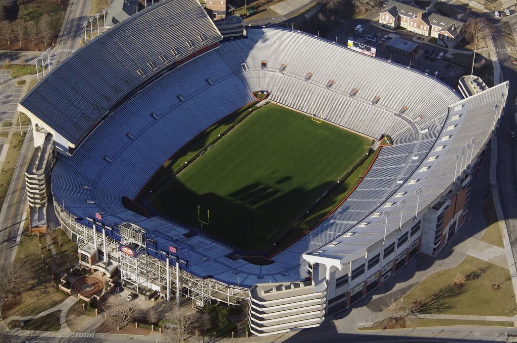
Jordan-Hare Stadium from the west (top) and south (bottom):
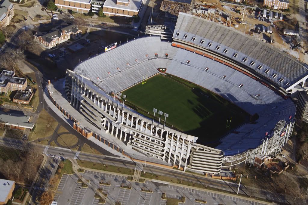 Photographer: Rushabh Kothari (magnetoo at Flickr)
Source: http://www.flickr.com/photos/magneto/348037621/
 Photographer: Rushabh Kothari (magnetoo at Flickr)
Source: http://www.flickr.com/photos/magneto/348038215/
.
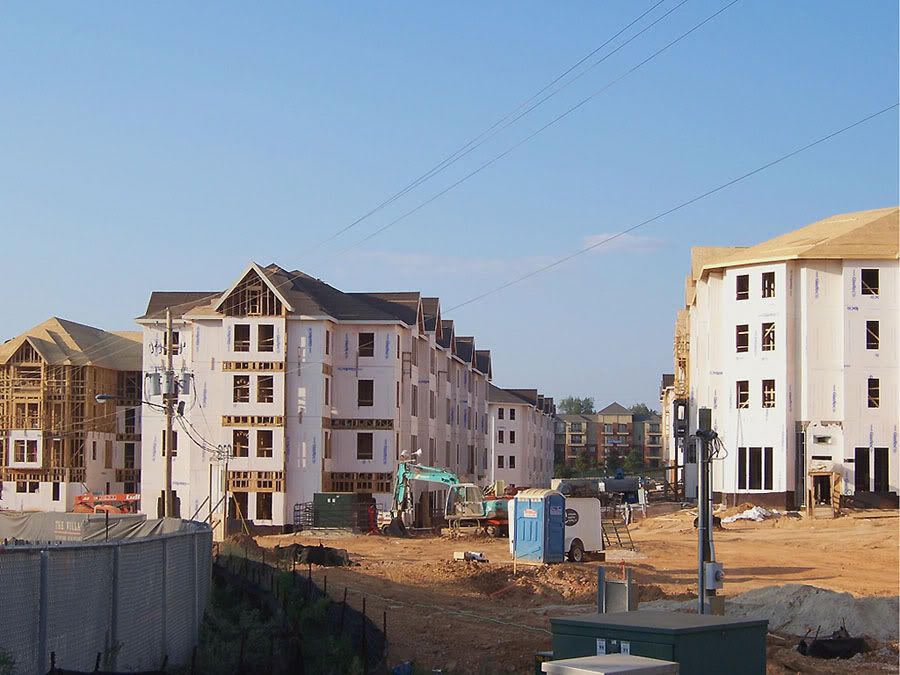
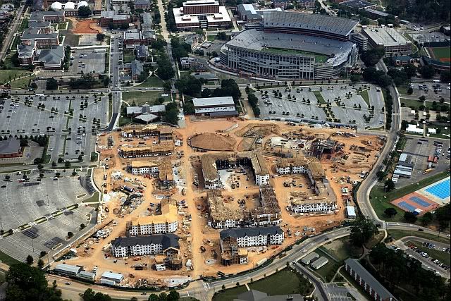
Close-up view of the west side of campus (looking north). The Village and new arena are currently under construction to the
left (west) of Jordan-Hare.
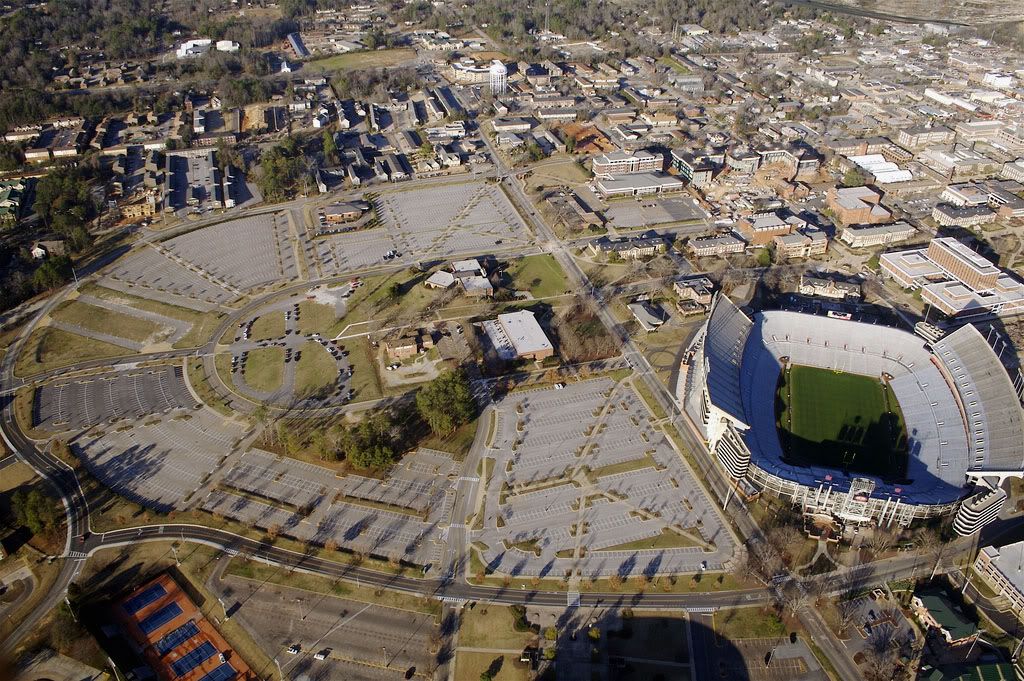 Photographer: Rushabh Kothari (magnetoo at Flickr)
Source: http://www.flickr.com/photos/magneto/348037968/
.
Close-up view of engineering buildings at the north end of campus:
 Photographer: Rushabh Kothari (magnetoo at Flickr)
Source: http://www.flickr.com/photos/magneto/348038471/
.
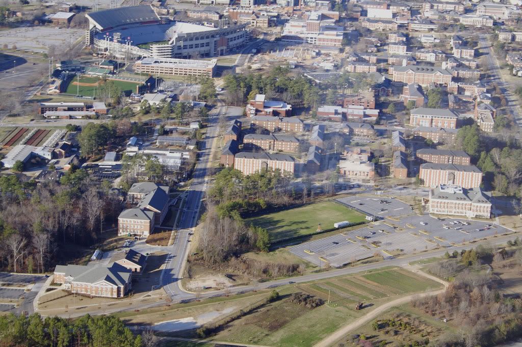
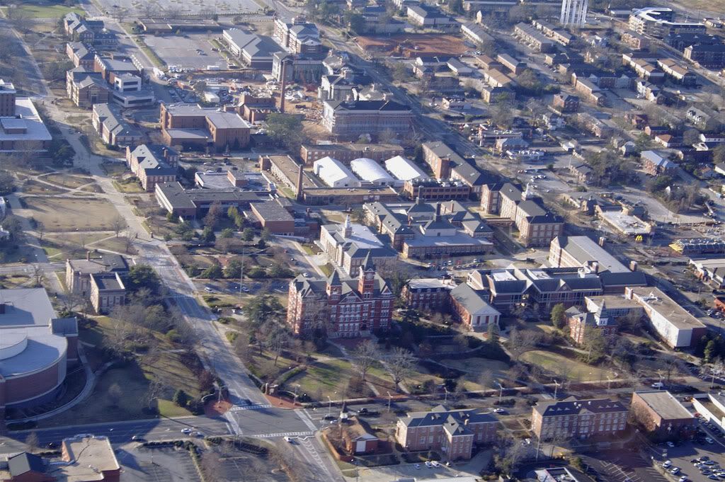
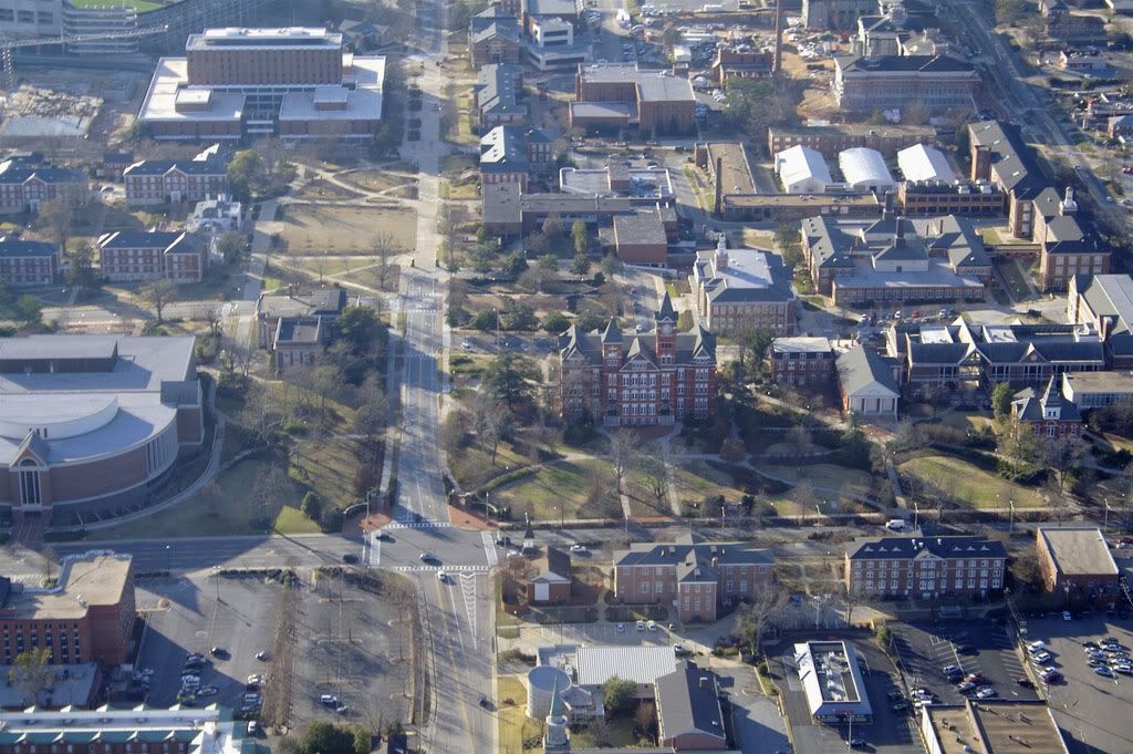
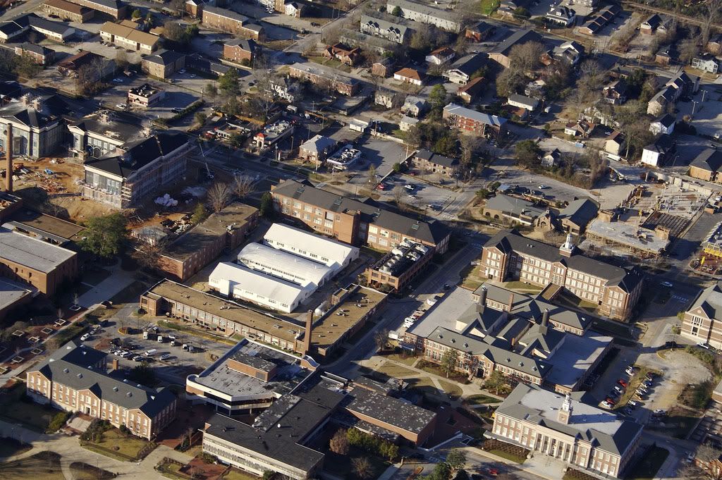
Close-up view of buildings north of Jordan-Hare:
 Photographer: Rushabh Kothari (magnetoo at Flickr)
Source: http://www.flickr.com/photos/magneto/348039233/
.
More off-campus apartments east of downtown:
 Photographer: Rushabh Kothari (magnetoo at Flickr)
Source: http://www.flickr.com/photos/magneto/348040966/
.
Village Mall from the east, north, west, and south:
 Photographer: Rushabh Kothari (magnetoo at Flickr)
Source: http://www.flickr.com/photos/magneto/348048786/
 Photographer: Rushabh Kothari (magnetoo at Flickr)
Source: http://www.flickr.com/photos/magneto/348049068/
 Photographer: Rushabh Kothari (magnetoo at Flickr)
Source: http://www.flickr.com/photos/magneto/348049533/
 Photographer: Rushabh Kothari (magnetoo at Flickr)
Source: http://www.flickr.com/photos/magneto/348050111/
.
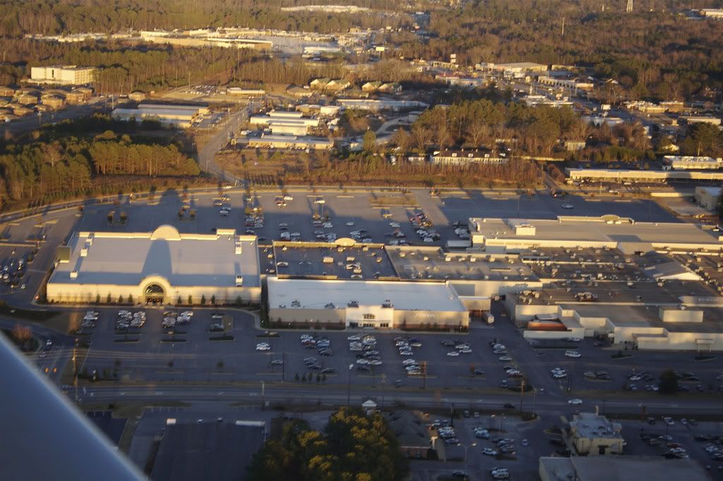
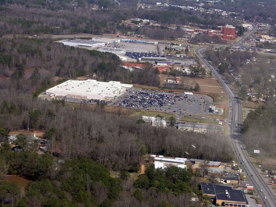
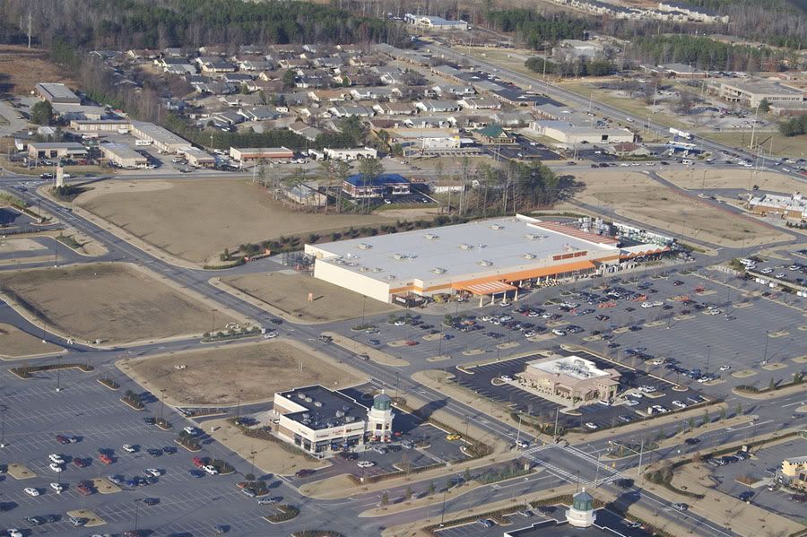
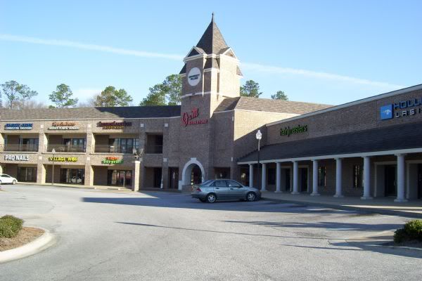
Village Mall and the Opelika Road corridor:
 Photographer: Unknown
Source: http://www.oldtownestation.com/frmCo...eJune2007.aspx
.
Northwest of the mall:
 Photographer: Rushabh Kothari (magnetoo at Flickr)
Source: http://www.flickr.com/photos/magneto/348049297/
.
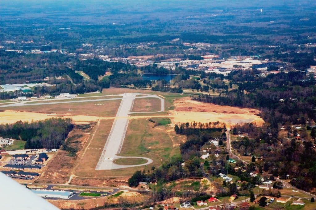
Airport and Indian Pines Golf Course:
 Photographer: Rushabh Kothari (magnetoo at Flickr)
Source: http://www.flickr.com/photos/magneto/348049735/
.
View of the airport from the southeast (Village Mall and Opelika Road corridor in the background):
 Photographer: ericreutebuch at Flickr
Source: http://www.flickr.com/photos/27144609@N02/2669215876/
.
View of the airport from the northeast (Auburn University in the distance at upper right):
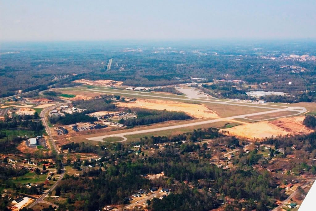 Photographer: ericreutebuch at Flickr
Source: http://www.flickr.com/photos/27144609@N02/2668396943/
.
East of Village Mall, Opelika Road (US 29) becomes Pepperell Parkway. This is looking east towards Opelika. The 8-story red
brick building in the distance is East Alabama Medical Center.
 Photographer: Matt Laney (mat1583 at Flickr)
Source: http://www.flickr.com/photos/mattlaney/410639757/
.
Looking west over the west side of Opelika with East Alabama Medical Center at the top:
 Photographer: Matt Laney (mat1583 at Flickr)
Source: http://www.flickr.com/photos/mattlaney/111427422/
.
Tiger Town - a lifestyle center located on US 280 at I-85 (southwest part of Opelika):
 Photographer: Rushabh Kothari (magnetoo at Flickr)
Source: http://www.flickr.com/photos/magneto/348030502/
 Photographer: Rushabh Kothari (magnetoo at Flickr)
Source: http://www.flickr.com/photos/magneto/348030799/
.
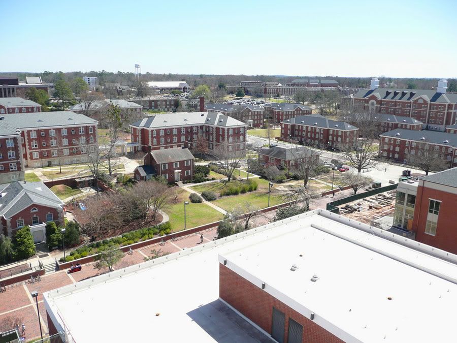
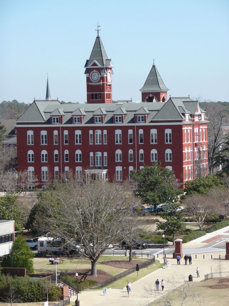
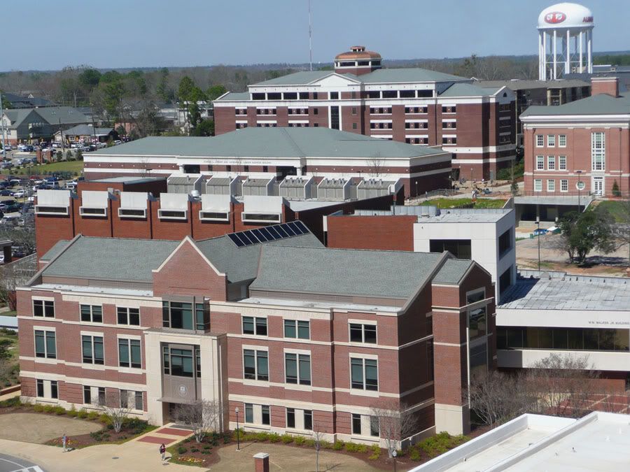
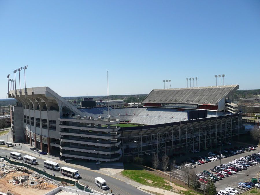
Before we head back to the ground, here are some views of Auburn's campus from the top of the Haley Center:
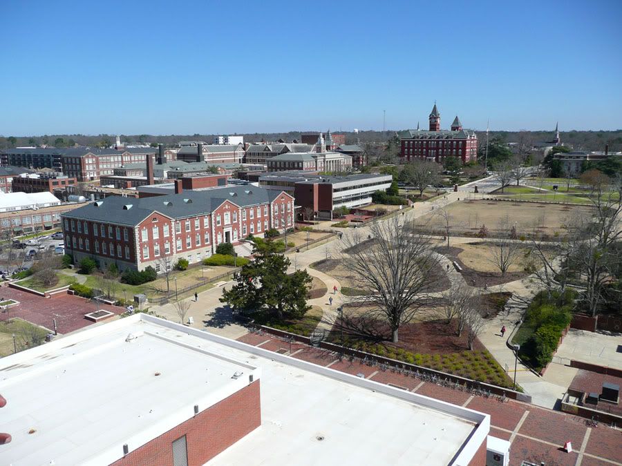 Photographer: Steliz at Flickr
Source: http://www.flickr.com/photos/steliz/2315781081
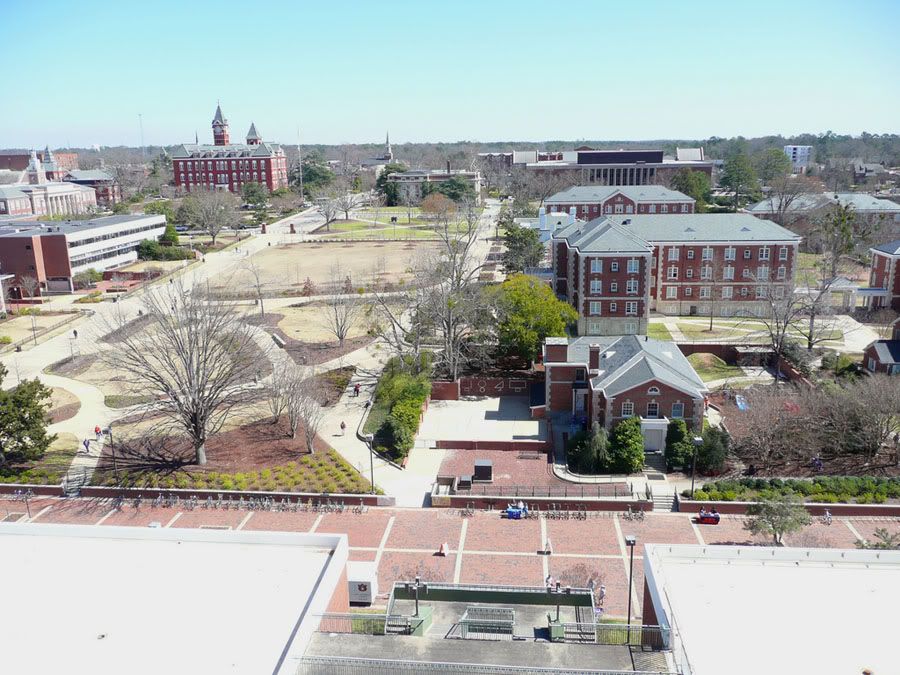 Photographer: Steliz at Flickr
Source: http://www.flickr.com/photos/steliz/2316590660/
 Photographer: Steliz at Flickr
Source: http://www.flickr.com/photos/steliz/2316590856/
 Photographer: Steliz at Flickr
Source: http://www.flickr.com/photos/steliz/2316591970/
 Photographer: Steliz at Flickr
Source: http://www.flickr.com/photos/steliz/2316592216/
 Photographer: Steliz at Flickr
Source: http://www.flickr.com/photos/steliz/2315783805/
.
Before leaving campus again, here are various building shots from the photographer who shot most of the aerials posted above.
Backside of Samford Hall
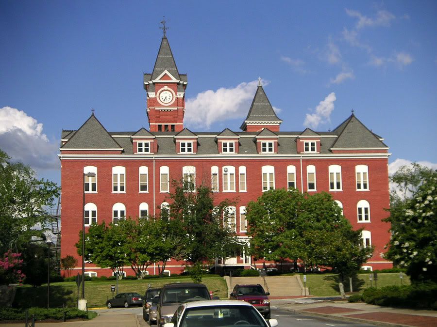 Photographer: Rushabh Kothari (magnetoo at Flickr)
Source: http://www.flickr.com/photos/magneto/271575539/
.
Ross Hall
 Photographer: Rushabh Kothari (magnetoo at Flickr)
Source: http://www.flickr.com/photos/magneto/271575356/
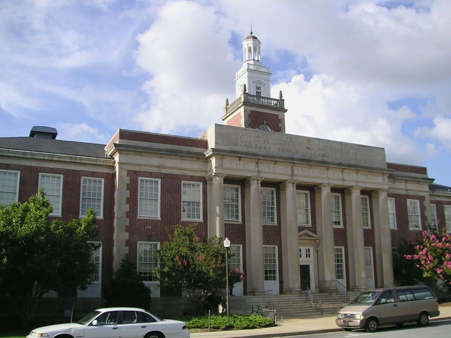 Photographer: Rushabh Kothari (magnetoo at Flickr)
Source: http://www.flickr.com/photos/magneto/271575338/
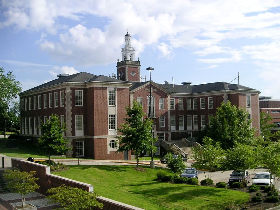 Photographer: Rushabh Kothari (magnetoo at Flickr)
Source: http://www.flickr.com/photos/magneto/271575318/
.
Aerospace Engineering
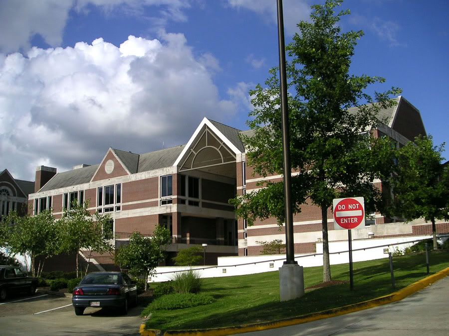 Photographer: Rushabh Kothari (magnetoo at Flickr)
Source: http://www.flickr.com/photos/magneto/271575418/
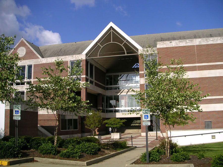 Photographer: Rushabh Kothari (magnetoo at Flickr)
Source: http://www.flickr.com/photos/magneto/271575394/
.
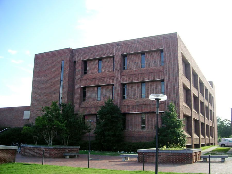
Wilmore Engineering Laboratory
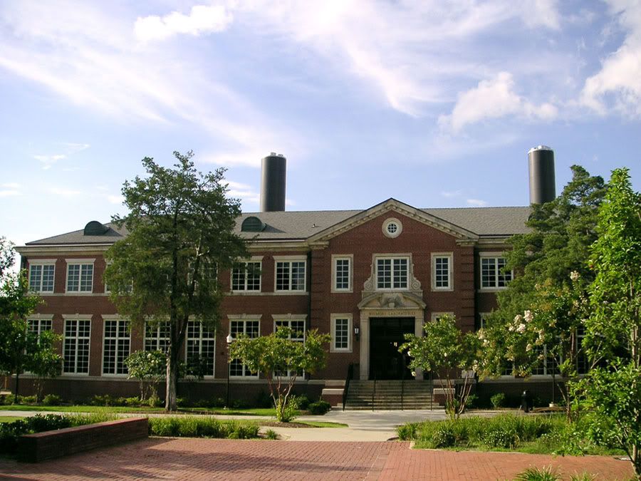 Photographer: Rushabh Kothari (magnetoo at Flickr)
Source: http://www.flickr.com/photos/magneto/271575490/
.
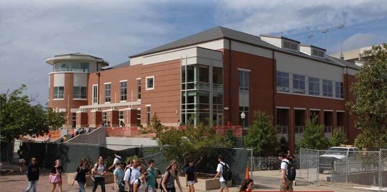
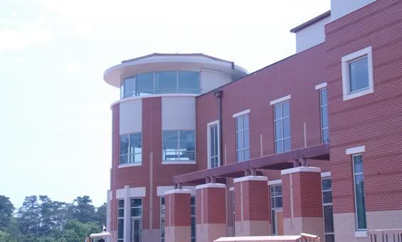
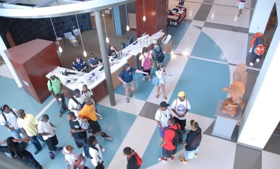
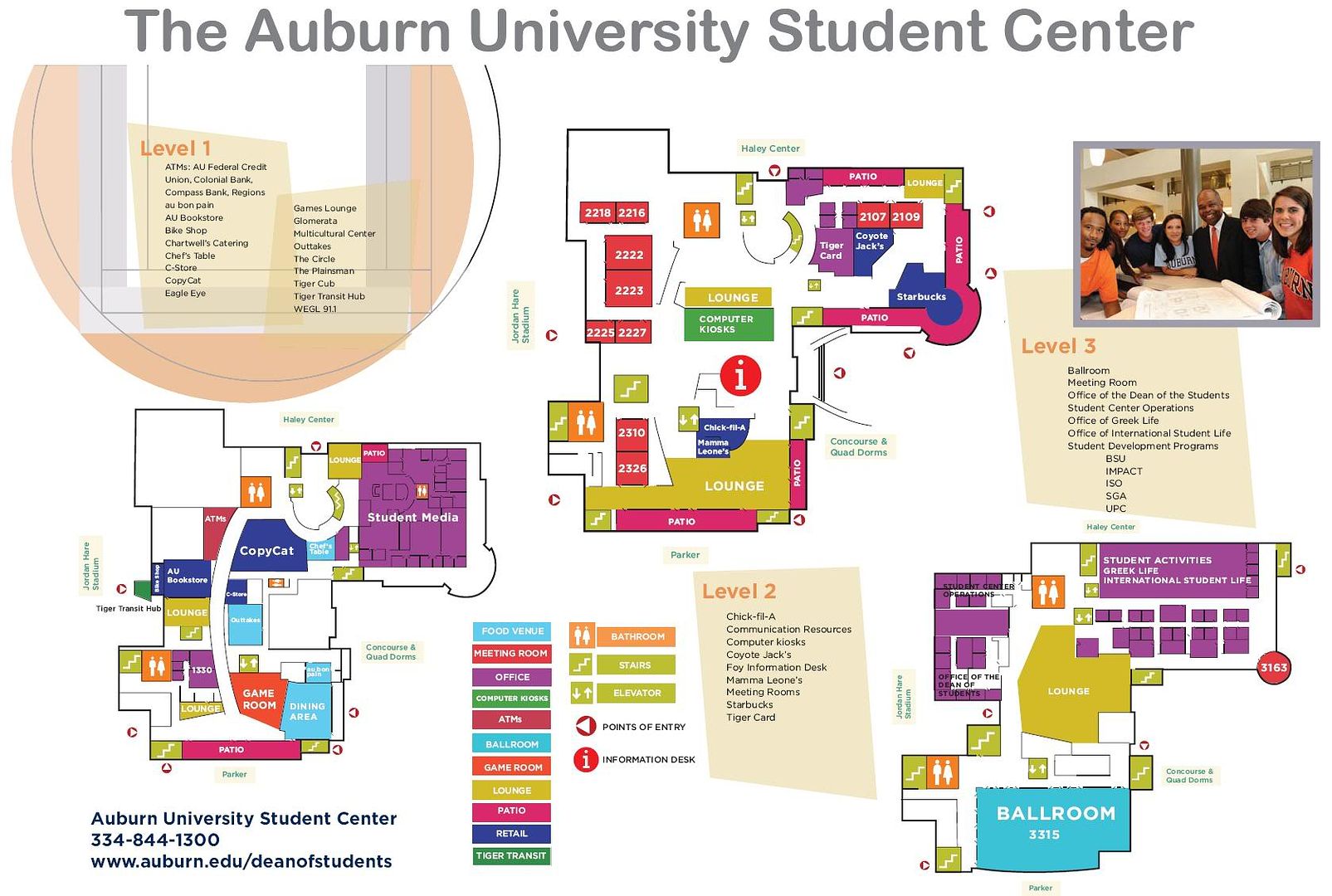
Back side of Foy Union (1974 addition containing War Eagle Food Court).
Does anyone know what will become of Foy Union
now that the new Student Center has opened?
 Photographer: Rushabh Kothari (magnetoo at Flickr)
Source: http://www.flickr.com/photos/magneto/271575851/
.
Broun Hall
 Photographer: Rushabh Kothari (magnetoo at Flickr)
Source: http://www.flickr.com/photos/magneto/271575901/
.
Back side of Cater Hall
 Photographer: Rushabh Kothari (magnetoo at Flickr)
Source: http://www.flickr.com/photos/magneto/271575645/
.
Mary Martin Hall
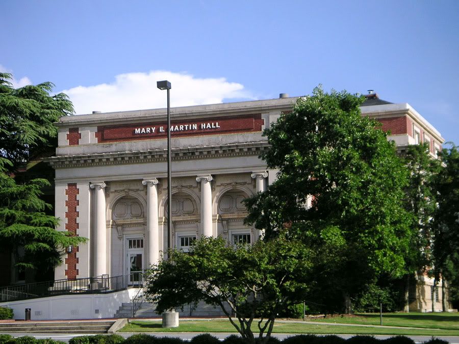 Photographer: Rushabh Kothari (magnetoo at Flickr)
Source: http://www.flickr.com/photos/magneto/271575574/
.
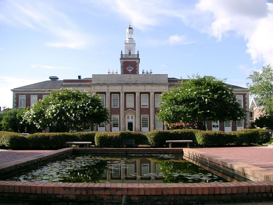
Ralph B. Draughon Library
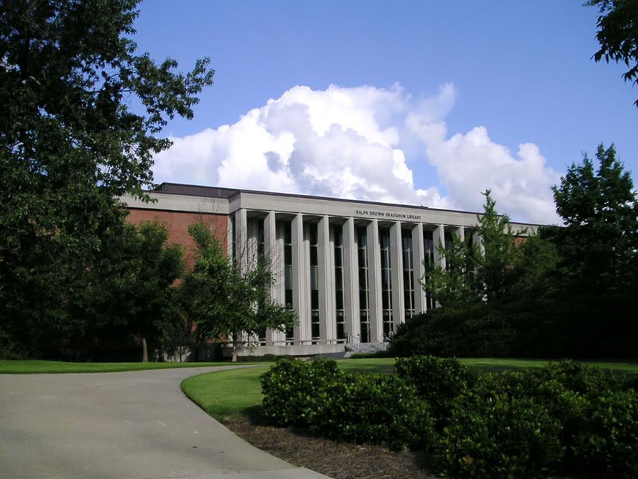 Photographer: Rushabh Kothari (magnetoo at Flickr)
Source: http://www.flickr.com/photos/magneto/271575624/
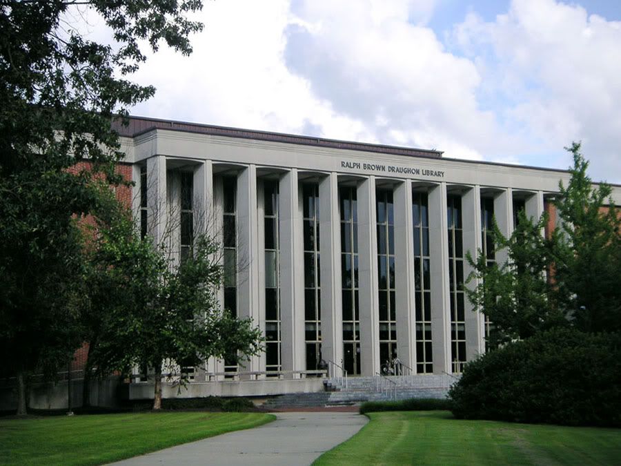 Photographer: Rushabh Kothari (magnetoo at Flickr)
Source: http://www.flickr.com/photos/magneto/271575605/
.
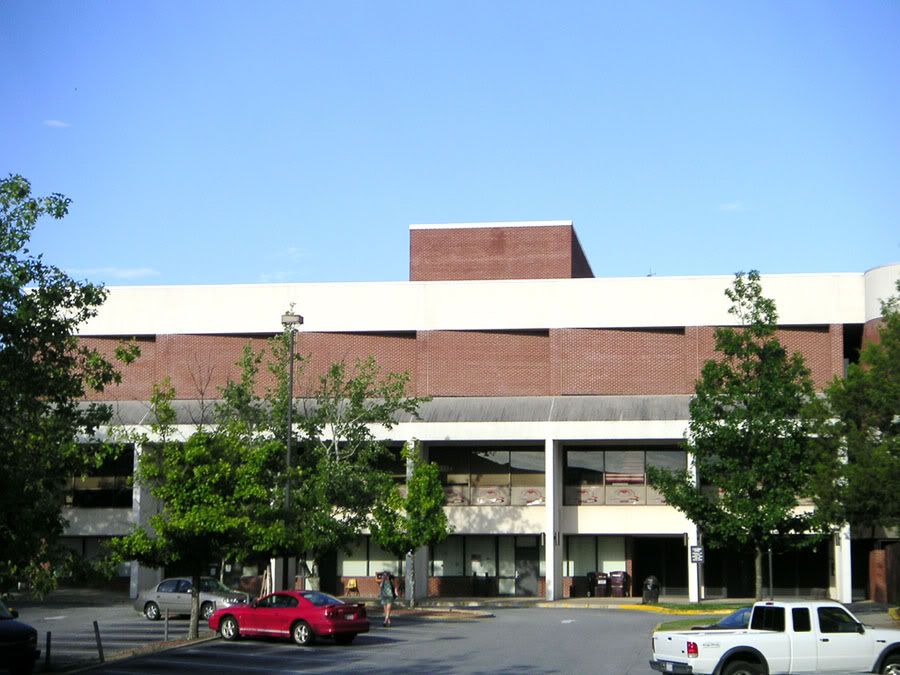
Auburn University Medical Clinic
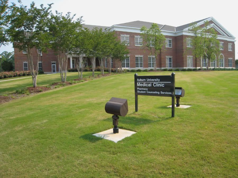 Photographer: Dennis Chang (sisDennis at Flickr)
Source: http://www.flickr.com/photos/sisdennis/510296065/
.
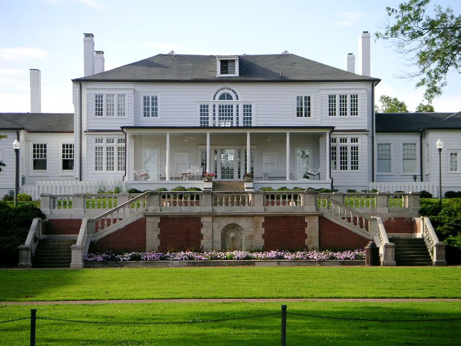
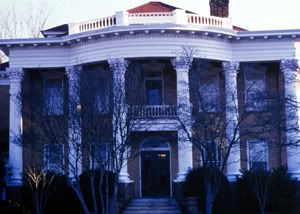
Pebble Hill - this antebellum home completed in 1846 is owned by Auburn University and located 5 blocks east of campus
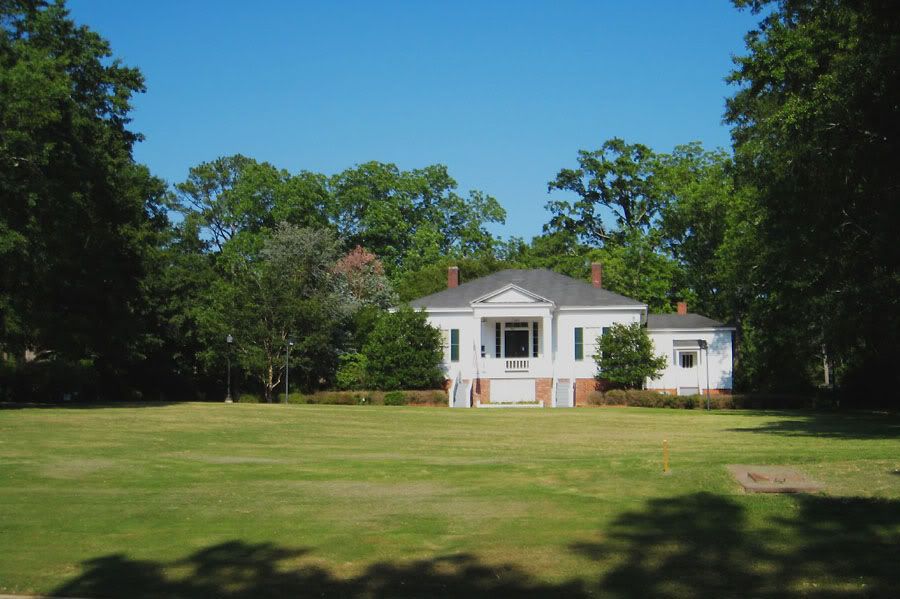 Photographer: Dennis Chang (sisDennis at Flickr)
Source: http://www.flickr.com/photos/sisdennis/508559058/
.
This is the old train depot on the north side of Downtown Auburn. It has been used by various businesses over the years
(not sure what it's being used for now). It was here in 1896 that some mischevious Auburn students gathered to grease the
tracks prior to the arrival of a train carrying the Georgia Tech football team. That train slid 5 miles past Auburn before
coming to a stop, and the team had to walk all the way back that night which probably contributed to their 45-0 loss to
Auburn the next day.
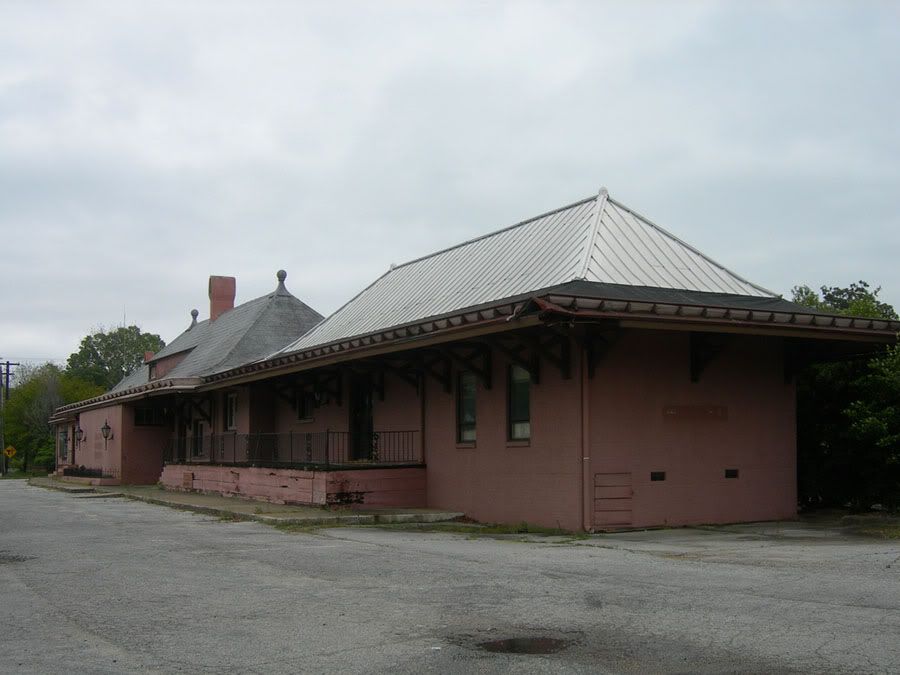 Photographer: Jimmy Emerson (jimmywayne22 at Flickr)
Source: http://www.flickr.com/photos/auvet/463382431/
.
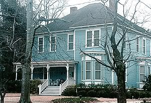
Crenshaw Guest House Bed & Breakfast
 Photographer: Unknown
Source: http://www.aotourism.com/visitors/ga...Galleries.aspx
.
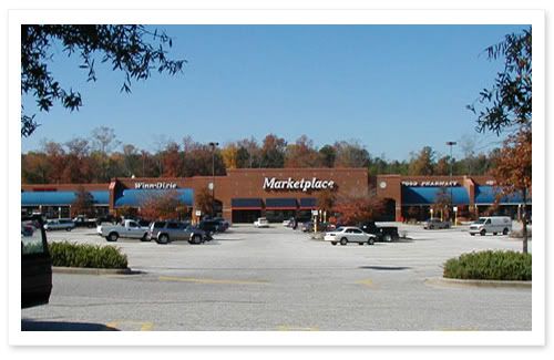
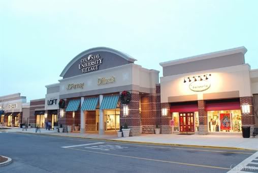
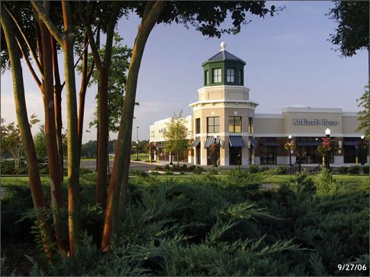
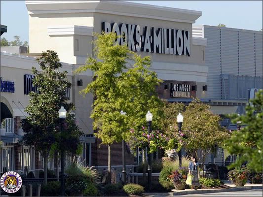
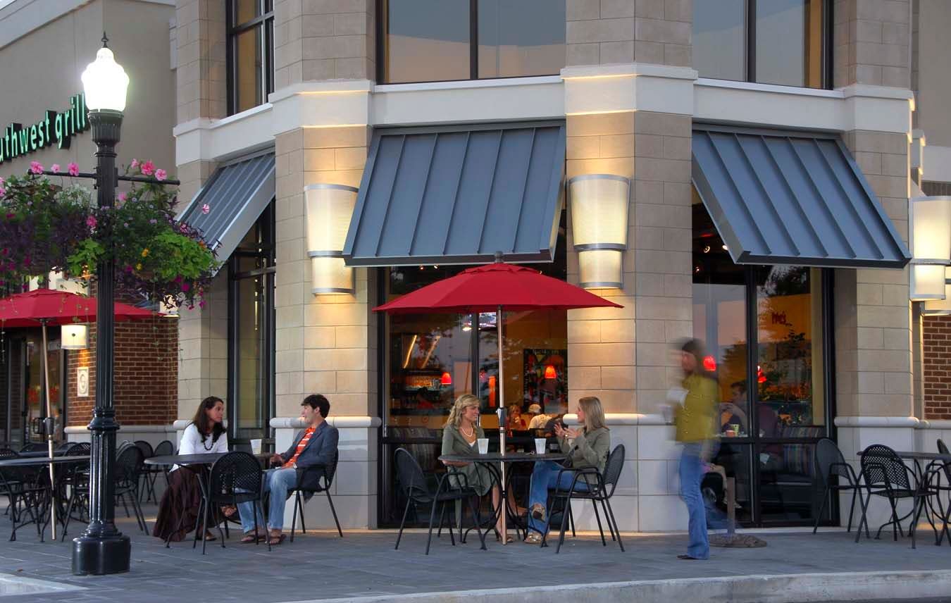
University Village - one of several retail centers along the South College Street corridor near I-85
 Photographer: Unknown
Source: http://www.commercialpropertydirecto...rty/12842.html
.
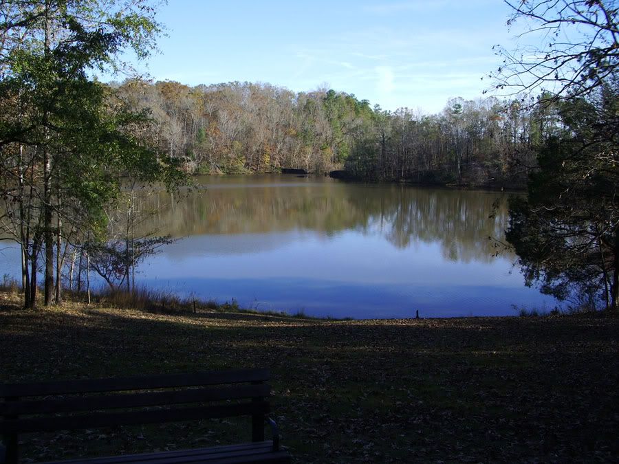
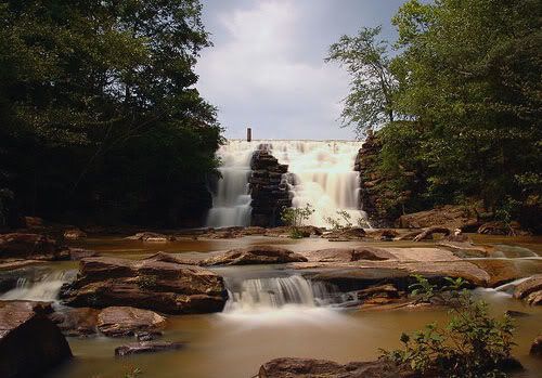
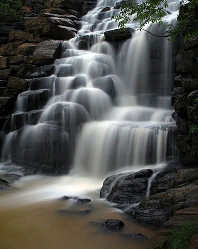
Chewacla State Park - located 4 miles south of Auburn
 Photographer: tylerpb2001 at Flickr
Source: http://www.flickr.com/photos/38911808@N00/265377249/
 Photographer: The Wilderness Family at Flickr
Source: http://www.flickr.com/photos/porbem/34991586/
 Photographer: The Wilderness Family at Flickr
Source: http://www.flickr.com/photos/porbem/828976180/
.
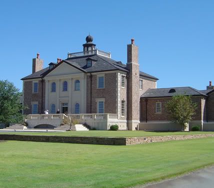
Fountainview Mansion - an upscale bed & breakfast located between the Auburn Links at Mill Creek golf course and Chewacla
State Park:
 Photographer: Unknown
Source: http://www.fountainviewmansion.com/Map.html
.
University Crossing - intersection of E. Glenn Ave. and E. University Dr. (2 miles east of downtown and 1 mile south of
Village Mall)
 Photographer: Unknown
Source: http://www.reddrealty.com/university.html
.
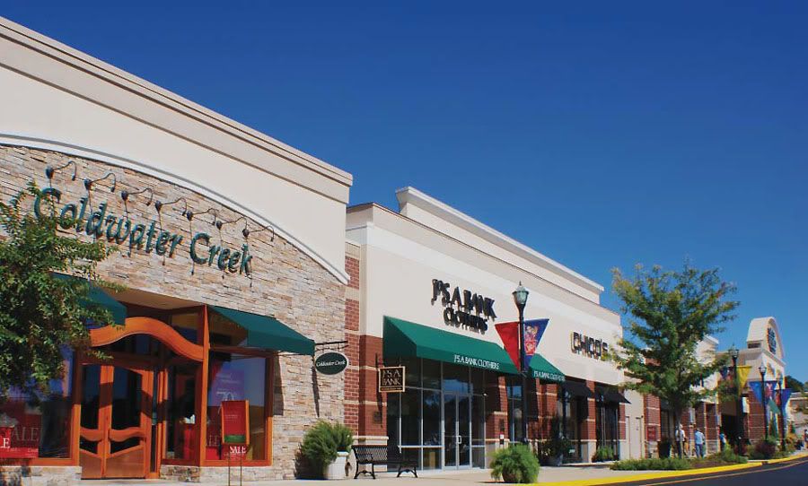
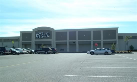
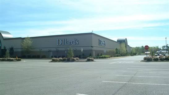
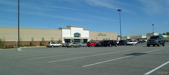
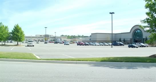
Village Mall
 Photographer: Unknown
Source: http://www.joneslanglasalle.com/micr...ts/Village.pdf
 Photographer: Unknown
Source: http://www.costar.com/costarconnect/...&LogRedirect=1
 Photographer: Unknown
Source: http://www.costar.com/costarconnect/...&LogRedirect=1
 Photographer: Unknown
Source: http://www.costar.com/costarconnect/...&LogRedirect=1
 Photographer: Unknown
Source: http://www.costar.com/costarconnect/...&LogRedirect=1
 Photographer: Unknown
Source: http://www.costar.com/costarconnect/...&LogRedirect=1
.
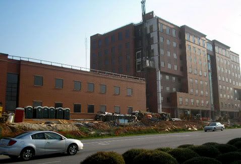
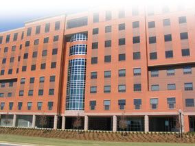
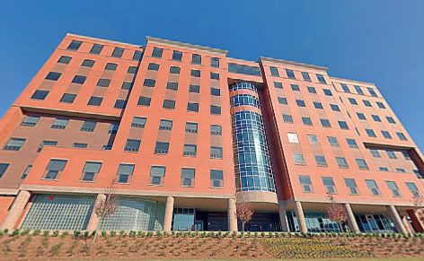
East Alabama Medical Center - a 352-bed regional medical center and the area's second largest employer (2500 employees).
Four floors were recently added to the existing 4-story main building.
 Photographer: Unknown
Source: http://www.brasfieldgorrie.com/portf...btype=14&id=88
 Photographer: Unknown
Source: http://www.eamc.org/about/index.asp
 Photographer: Unknown
Source: http://www.eamc.org/virtualtour/eamc.html
.
Grand National Golf Club - part of Alabama's Robert Trent Jones Golf Trail, located 3 miles NW of Opelika and 6 miles NE of
Auburn
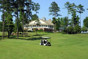 Photographer: Unknown
Source: http://www.aotourism.com/visitors/ga...Galleries.aspx
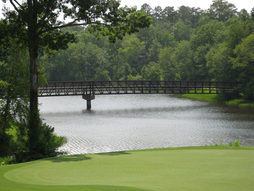 Photographer: Amelia Hang (aumilliec at Flickr)
Source: http://www.flickr.com/photos/aumilliec/2849097452/
.
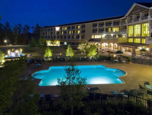
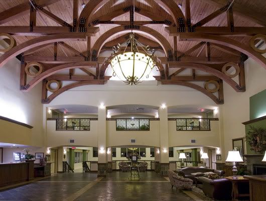
The Marriott Hotel & Conference Center at Grand National:
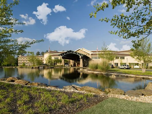 Photographer: Unknown
Source: http://www.emarketing360.com/Marriott/AL/MAOG/
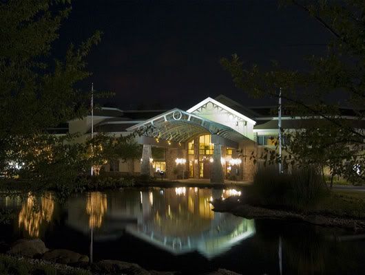 Photographer: Unknown
Source: http://www.emarketing360.com/Marriott/AL/MAOG/
 Photographer: Unknown
Source: http://www.emarketing360.com/Marriott/AL/MAOG/
 Photographer: Unknown
Source: http://www.emarketing360.com/Marriott/AL/MAOG/
.
Tiger Town - largest retail center in the area (over 750,000 square feet) located at the intersection of US 280 and I-85 in
the southwestern part of Opelika:
 Photographer: Unknown
Source: http://www.nimrodlong.com/proj_tigertown.htm
 Photographer: Unknown
Source: http://www.nimrodlong.com/proj_tigertown.htm
 Photographer: Unknown
Source:
.
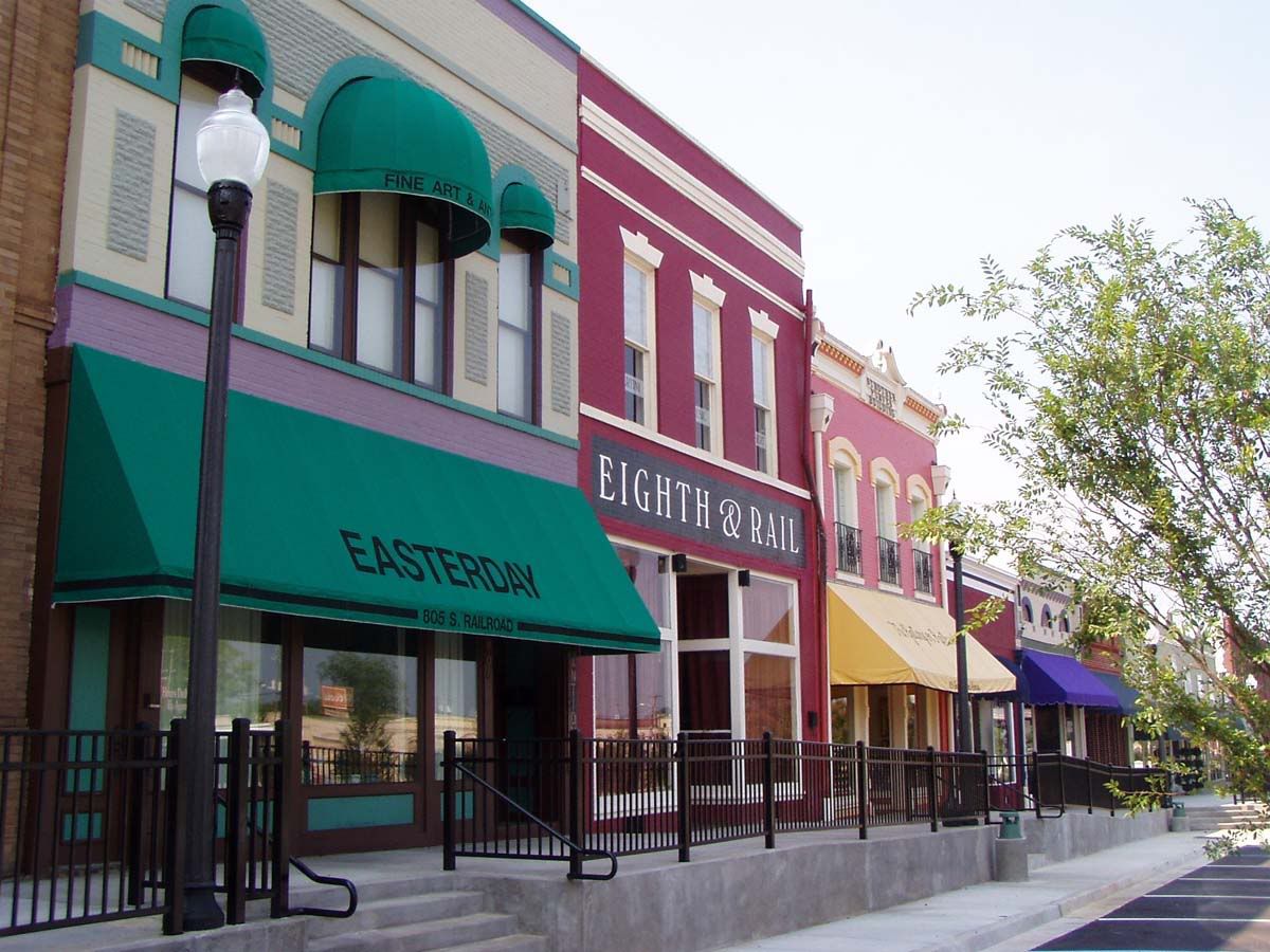
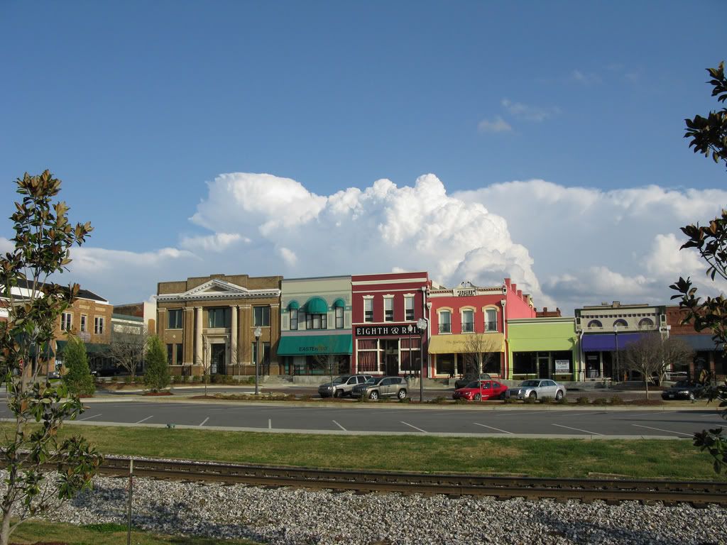
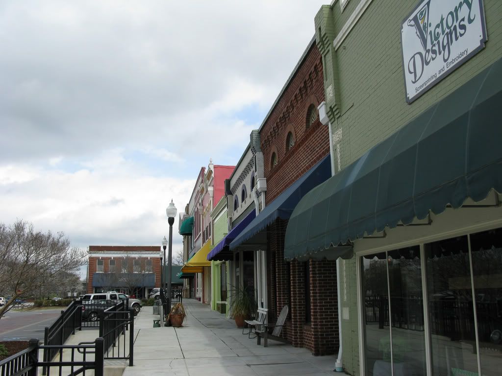
Downtown Opelika
 Photographer: Unknown
Source: http://www.aotourism.com/visitors/ga...Galleries.aspx
 Photographer: Jerry Katz (Opelika Daily News at Flickr)
Source: http://www.flickr.com/photos/opelika...ws/2335988104/
 Photographer: Jerry Katz (Opelika Daily News at Flickr)
Source: http://www.flickr.com/photos/opelika...ws/2336016852/
 Photographer: Jerry Katz (Opelika Daily News at Flickr)
Source: http://www.flickr.com/photos/opelika...ws/2559601065/
.
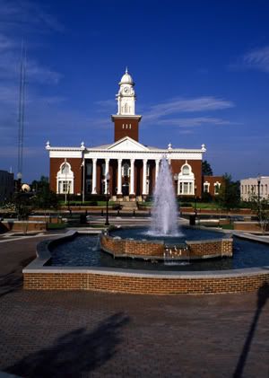
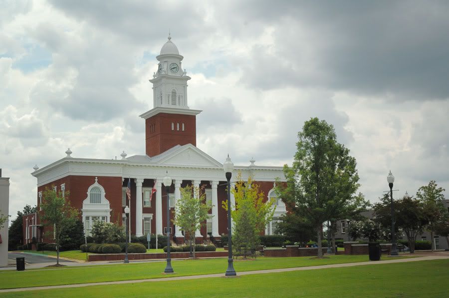
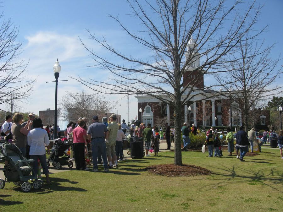
Lee County Courhouse:
 Photographer: Unknown
Source: http://www.aotourism.com/visitors/ga...Galleries.aspx
 Photographer: Christopher Ness (luxomni at Flickr)
Source: http://www.flickr.com/photos/luxomni/2708788350/
 Photographer: Jerry Katz (Opelika Daily News at Flickr)
Source: http://www.flickr.com/photos/opelika...ws/2351811657/
 Photographer: Jerry Katz (Opelika Daily News at Flickr)
Source: http://www.flickr.com/photos/opelika...ws/2905660995/
 Photographer: Jerry Katz (Opelika Daily News at Flickr)
Source: http://www.flickr.com/photos/opelika...ws/2351848843/
 Photographer: Jerry Katz (Opelika Daily News at Flickr)
Source: http://www.flickr.com/photos/opelika...ws/2351778125/
 Photographer: Jerry Katz (Opelika Daily News at Flickr)
Source: http://www.flickr.com/photos/opelika...ws/2351783551/
.
First Baptist Church:
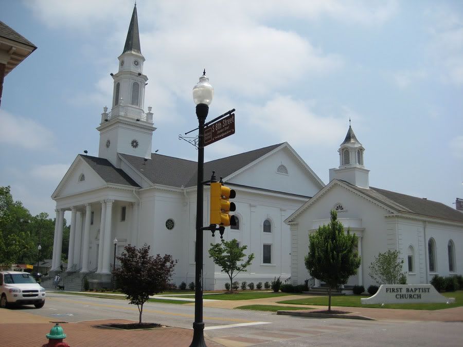 Photographer: scottn5346 at Flickr
Source: http://www.flickr.com/photos/27341731@N02/2549874029/
.
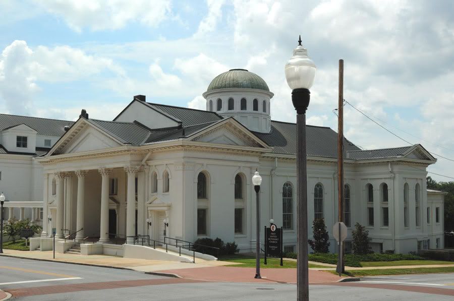
First United Methodist Church:
 Photographer: Christopher Ness (luxomni at Flickr)
Source: http://www.flickr.com/photos/luxomni/2704986227/
.
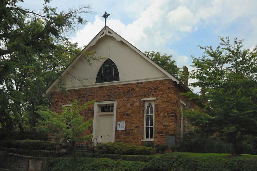
Emmanuel Episcopal Church:
 Photographer: Christopher Ness (luxomni at Flickr)
Source: http://www.flickr.com/photos/luxomni/2705806868/
.
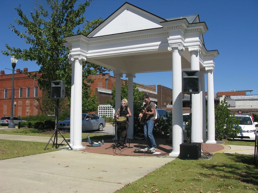
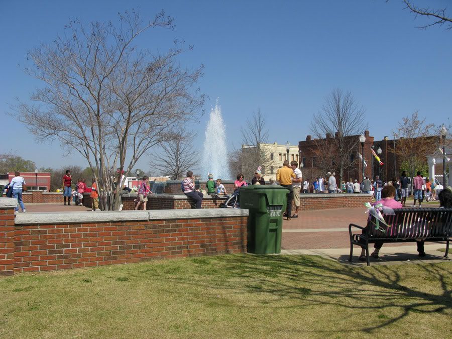
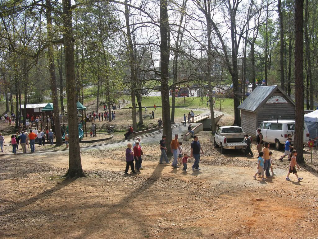
Opelika Municipal Park:
 Photographer: Jerry Katz (Opelika Daily News at Flickr)
Source: http://www.flickr.com/photos/opelika...ws/2375147356/
.
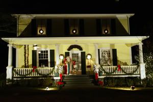
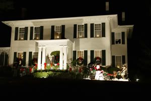
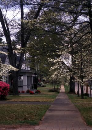
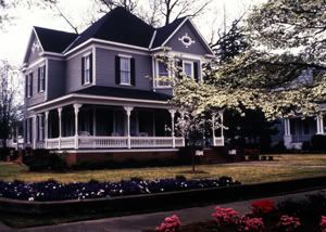
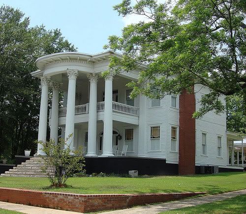
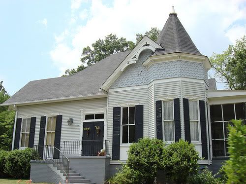
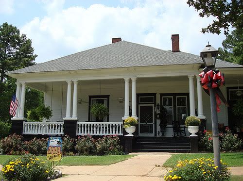
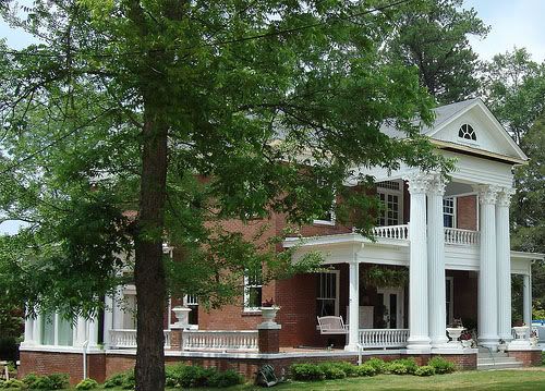
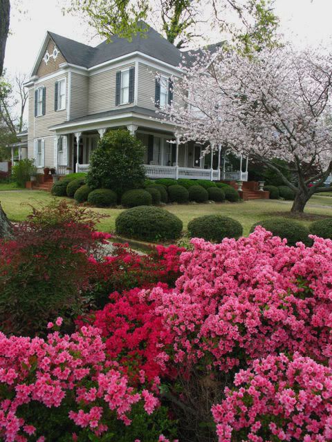
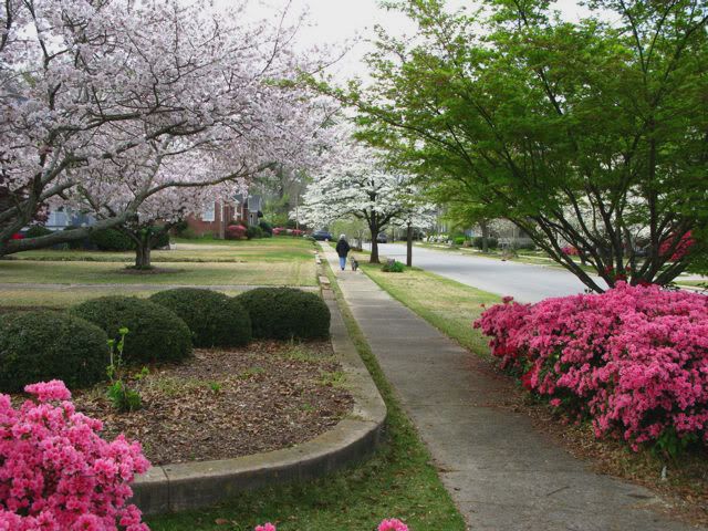
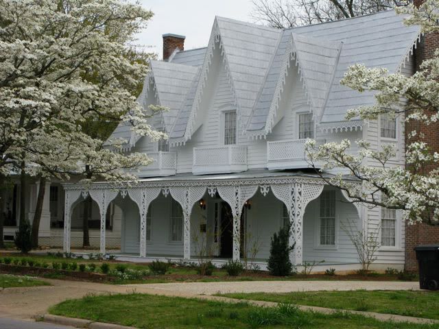
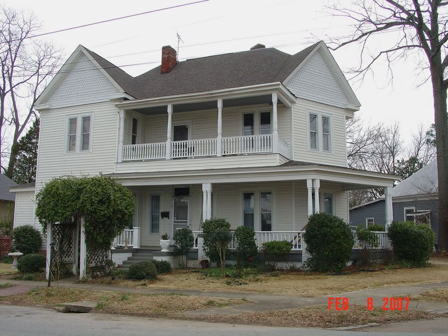
Historic homes in Opelika:
 Photographer: Unknown
Source: http://www.aotourism.com/visitors/ga...Galleries.aspx
 Photographer: Unknown
Source: http://www.aotourism.com/visitors/ga...Galleries.aspx
 Photographer: Unknown
Source: http://www.aotourism.com/visitors/ga...Galleries.aspx
 Photographer: Unknown
Source: http://www.aotourism.com/visitors/ga...Galleries.aspx
 Photographer: Unknown
Source: http://www.aotourism.com/visitors/ga...Galleries.aspx
 Photographer: Unknown
Source: http://www.aotourism.com/visitors/ga...Galleries.aspx
 Photographer: Deep Fried Kudzu at Flickr
Source: http://www.flickr.com/photos/deepfriedkudzu/2534112018/
 Photographer: Deep Fried Kudzu at Flickr
Source: http://www.flickr.com/photos/deepfriedkudzu/2533295581/
 Photographer: Deep Fried Kudzu at Flickr
Source: http://www.flickr.com/photos/deepfriedkudzu/2533289727/
 Photographer: Deep Fried Kudzu at Flickr
Source: http://www.flickr.com/photos/deepfriedkudzu/2533283929/
 Photographer: Jerry Katz (Opelika Daily News at Flickr)
Source: http://www.flickr.com/photos/opelika...ws/2378617257/
 Photographer: Jerry Katz (Opelika Daily News at Flickr)
Source: http://www.flickr.com/photos/opelika...ws/2378617915/
 Photographer: Jerry Katz (Opelika Daily News at Flickr)
Source: http://www.flickr.com/photos/opelika...ws/2379455214/
 Photographer: Opelika Planning Department at Flickr
Source: http://www.flickr.com/photos/cityofopelika/2416683023/
.
Bean's Mill on Halawaka Creek - built in 1875 and located 7 miles northeast of Opelika off of US 29:
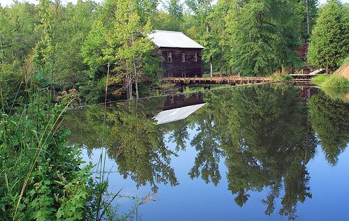 Photographer: The Wilderness Family at Flickr
Source: http://www.flickr.com/photos/porbem/1330373281/
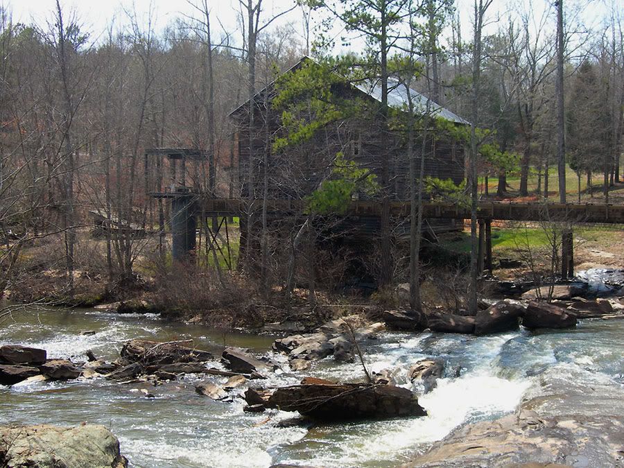 Photographer: Jimmy Emerson (jimmywayne22 at flickr)
Source: http://www.flickr.com/photos/auvet/420597627/


 Prev
Prev


 Nothing new that I'm aware of, but I haven't had a chance to make it to a game so far this season.


 Linear Mode
