A month ago I was curious to drive the remote forest road from Pemberton to Seton Portage. Here are the photos from this rarely seen road.
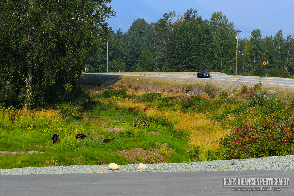
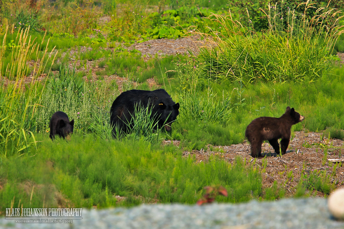
Black bears nearby Pemberton.
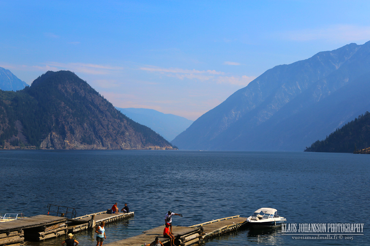
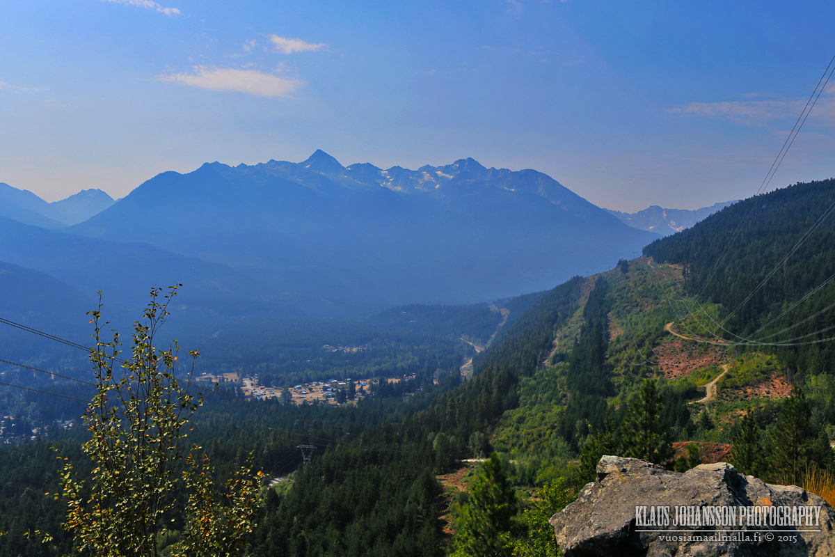
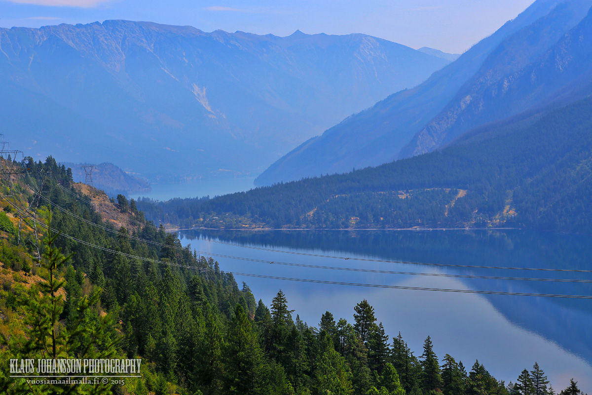
Anderson Lake in D'Arcy. There was lots of smoke from the nearby forest fires in the valley.
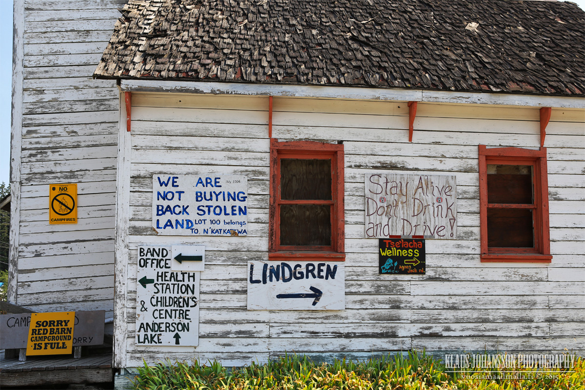
People of D'Arcy are opinionate.
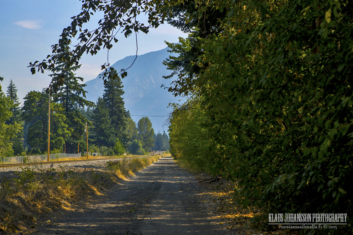
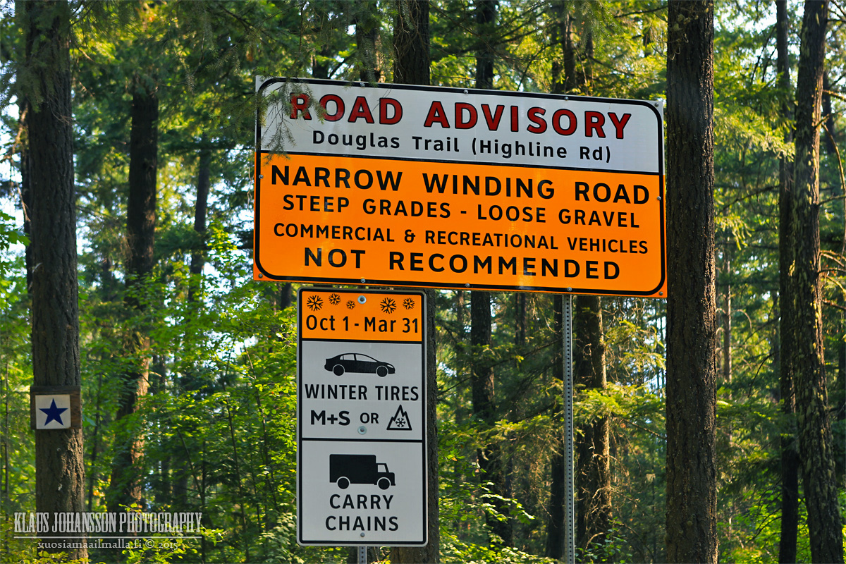
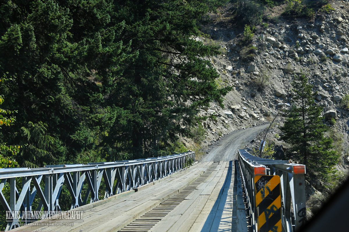
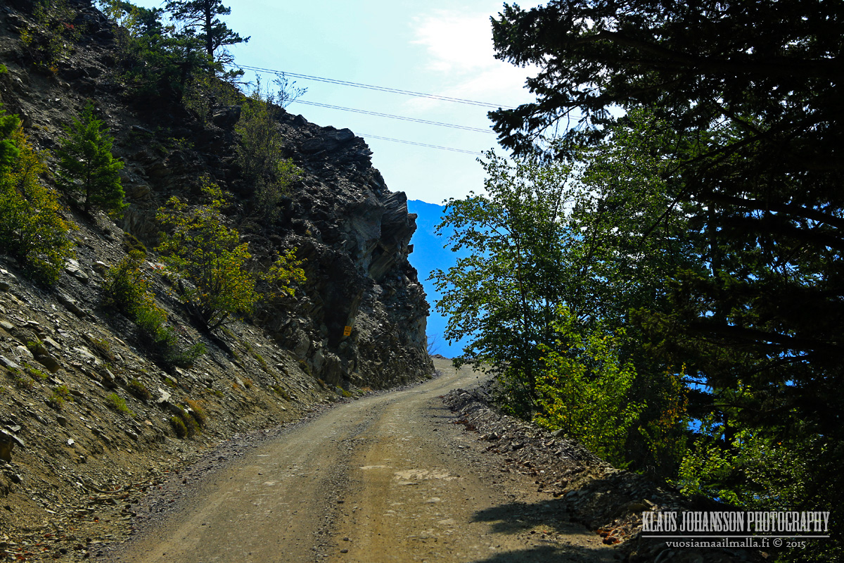
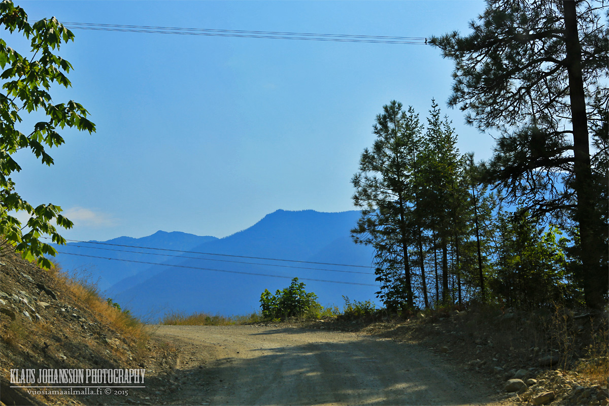
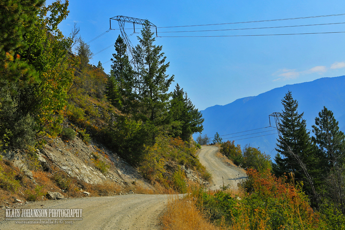
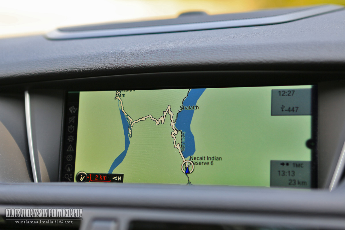
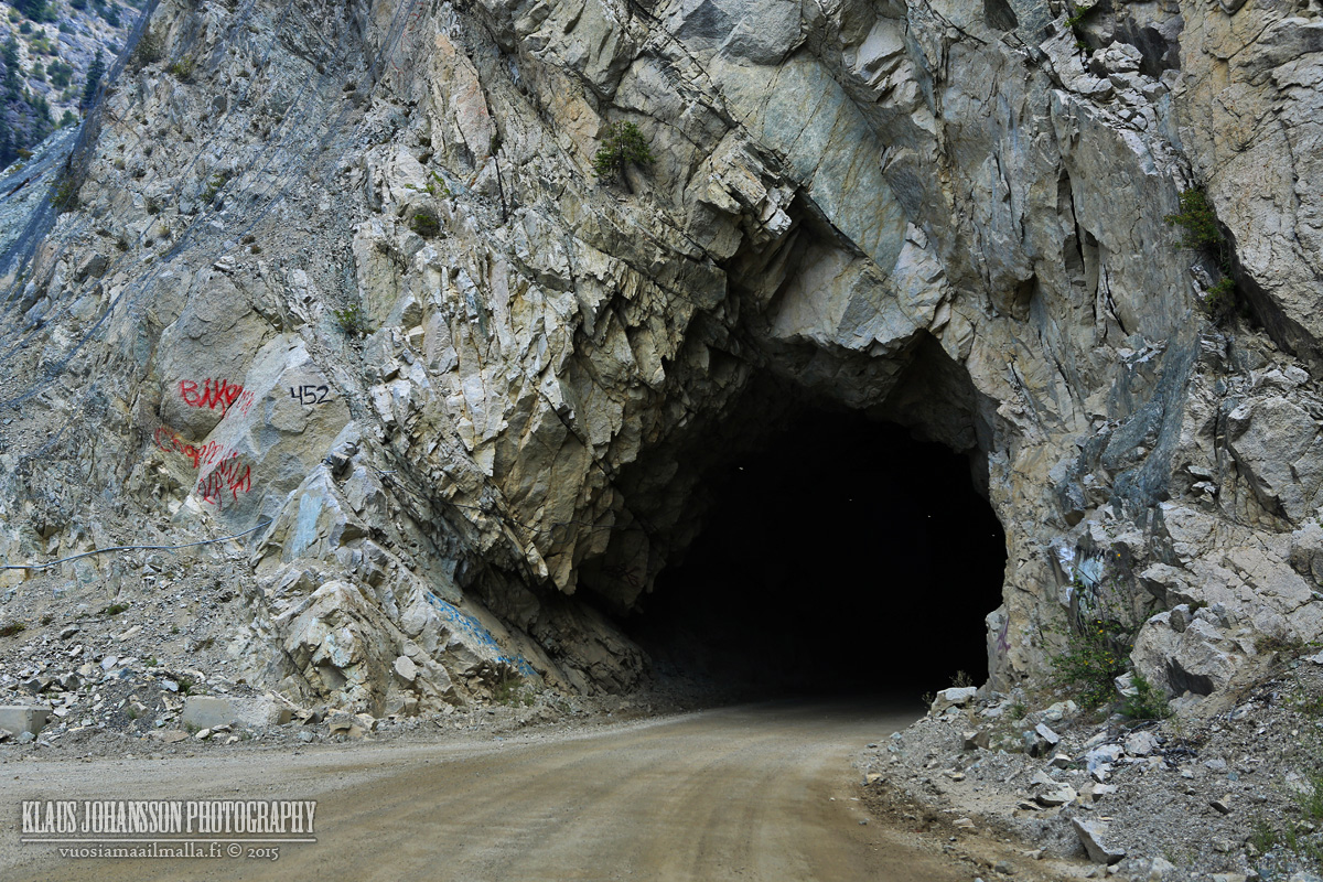
Highline Road to Seton Portage.
The road is doable with a normal 2WD car, but there are few steep sections and LOTS of potholes that make it challening at times. You cannot drive faster than 20km/h unless you don't care for your car. In winter I would stay away from this road.
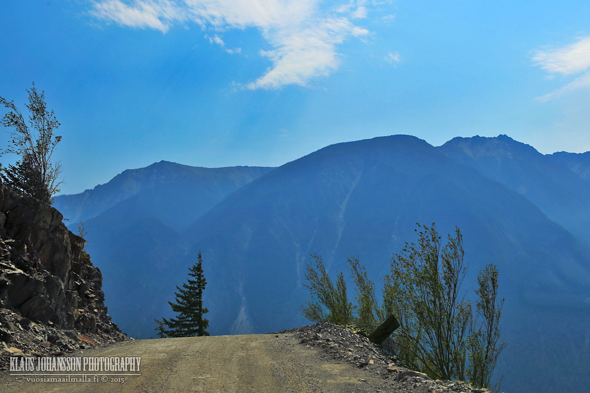
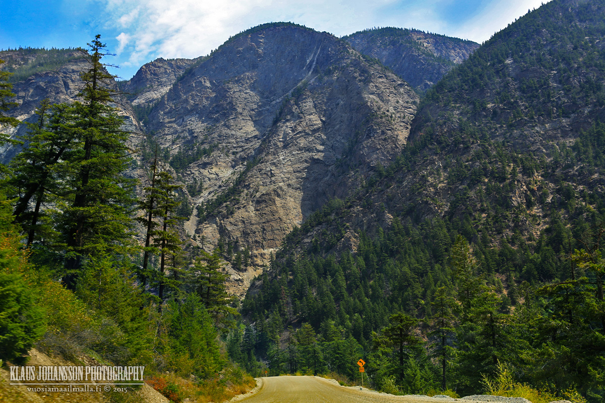
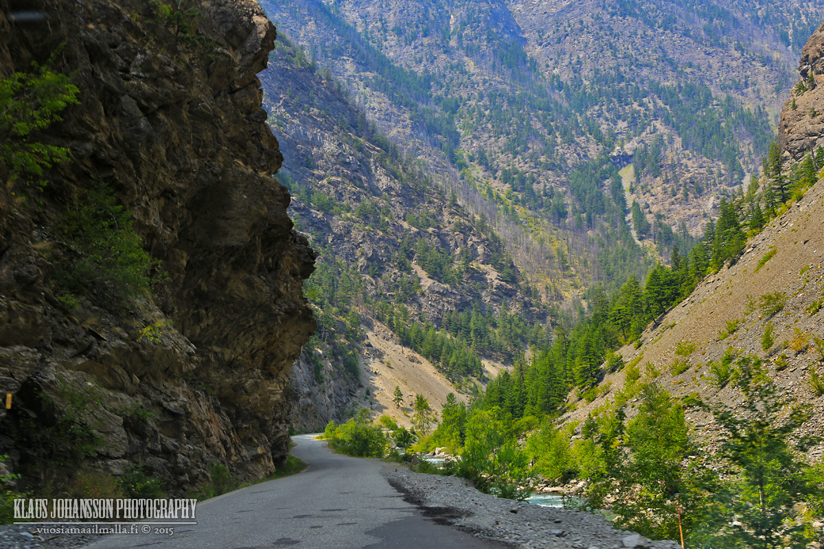
It's a narrow road with steep drops that can cause vertigo.
D'Arcy from above.
High above Anderson Lake. Most people from Seton Portage seemed to have their cars parked in D'Arcy and take a boat across the lake, which is much faster than the road.
Seton Portage is located between Anderson Lake and Seton Lake (behind).
Main street of Seton Portage.
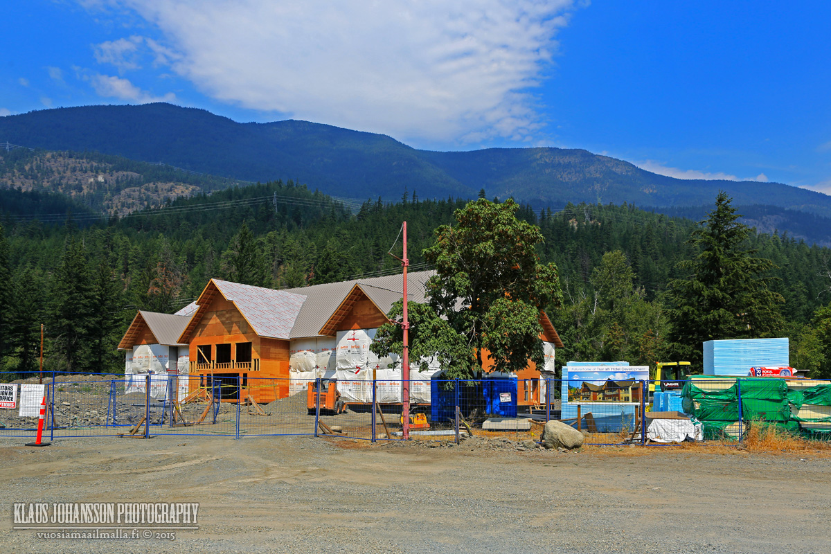
There is a hotel being built in town.
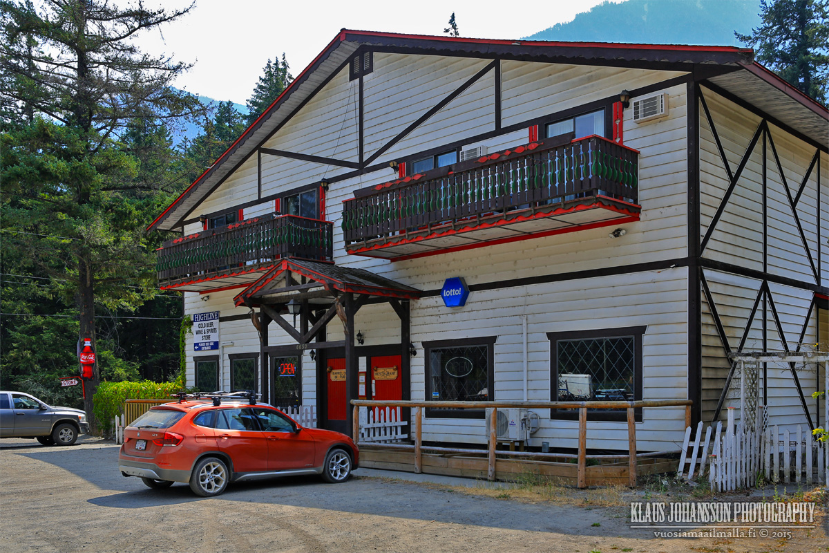
One bar is the center of the village.
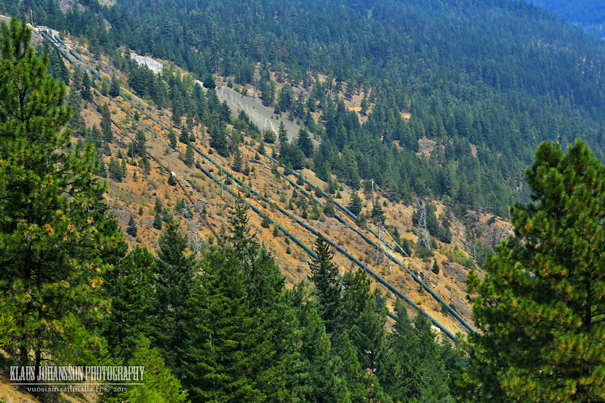
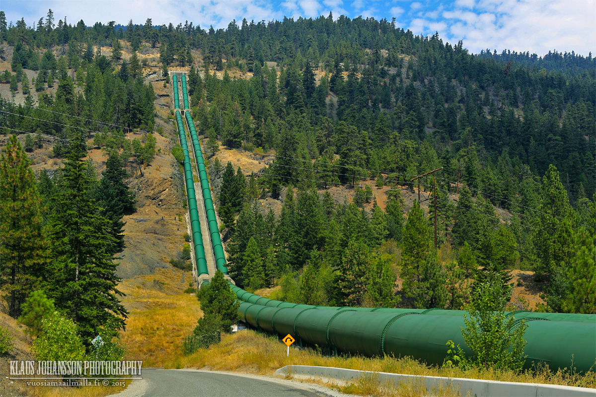
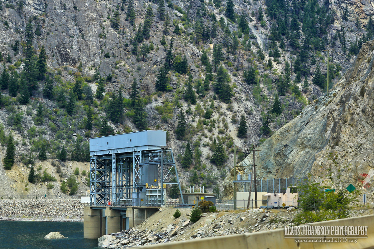
Driving past Seton Portage you see huge pipes running down the mountain side.
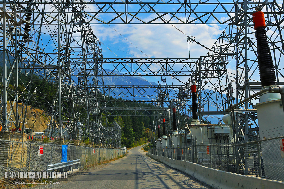
These pipes carry water from Carpenter Lake 600 meters above Seton Lake through Mission Mountain, which BC Hydro uses to generate electricity.
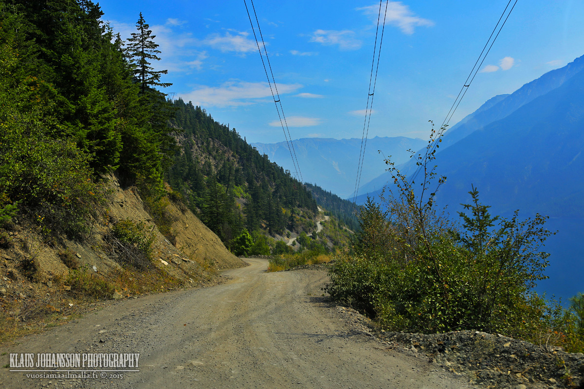
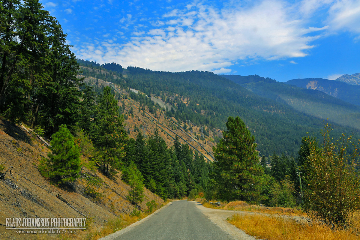
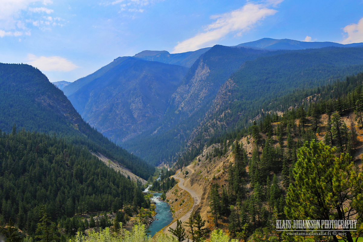
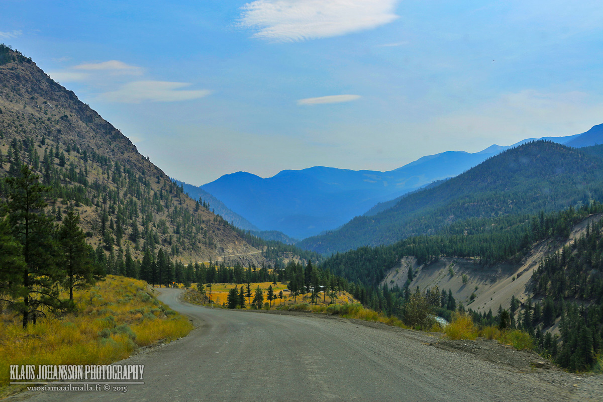
It's a curvy road but good quality gravel road over Mission Mountain.
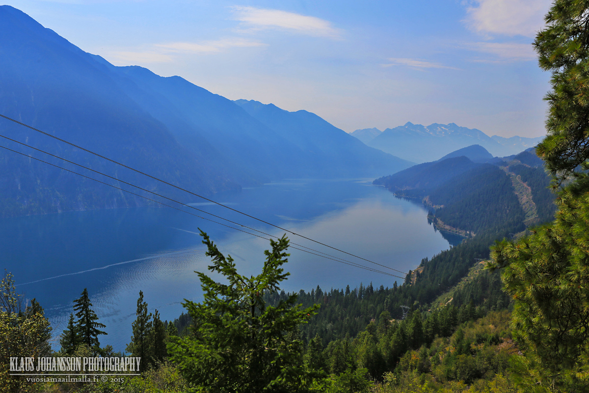
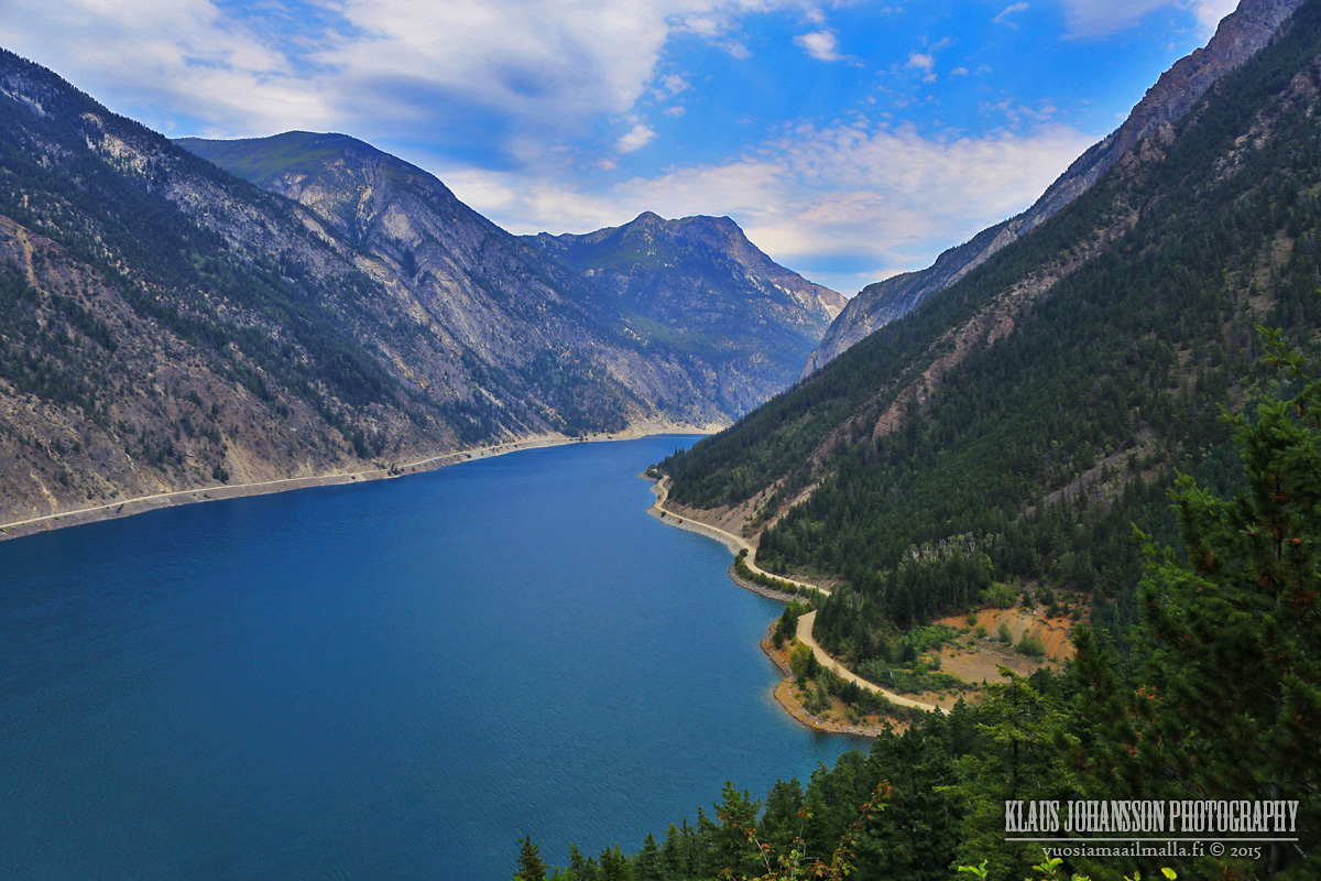
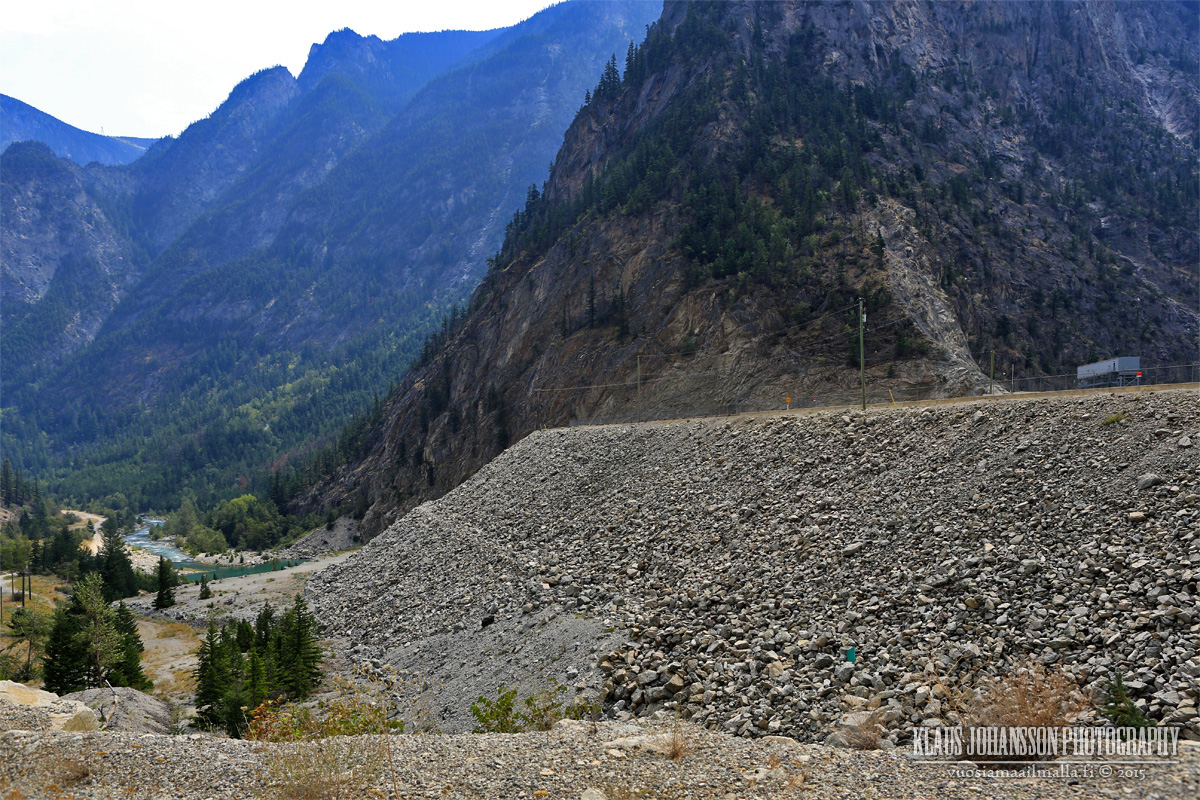
Carpenter Lake
Terzaghi Dam holds back the huge Carpenter Lake.
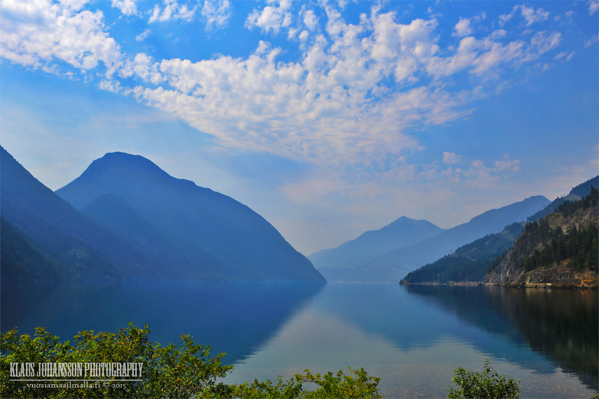
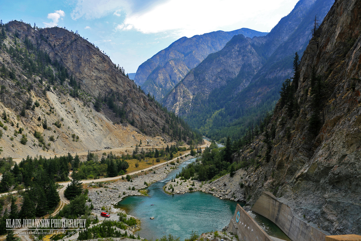
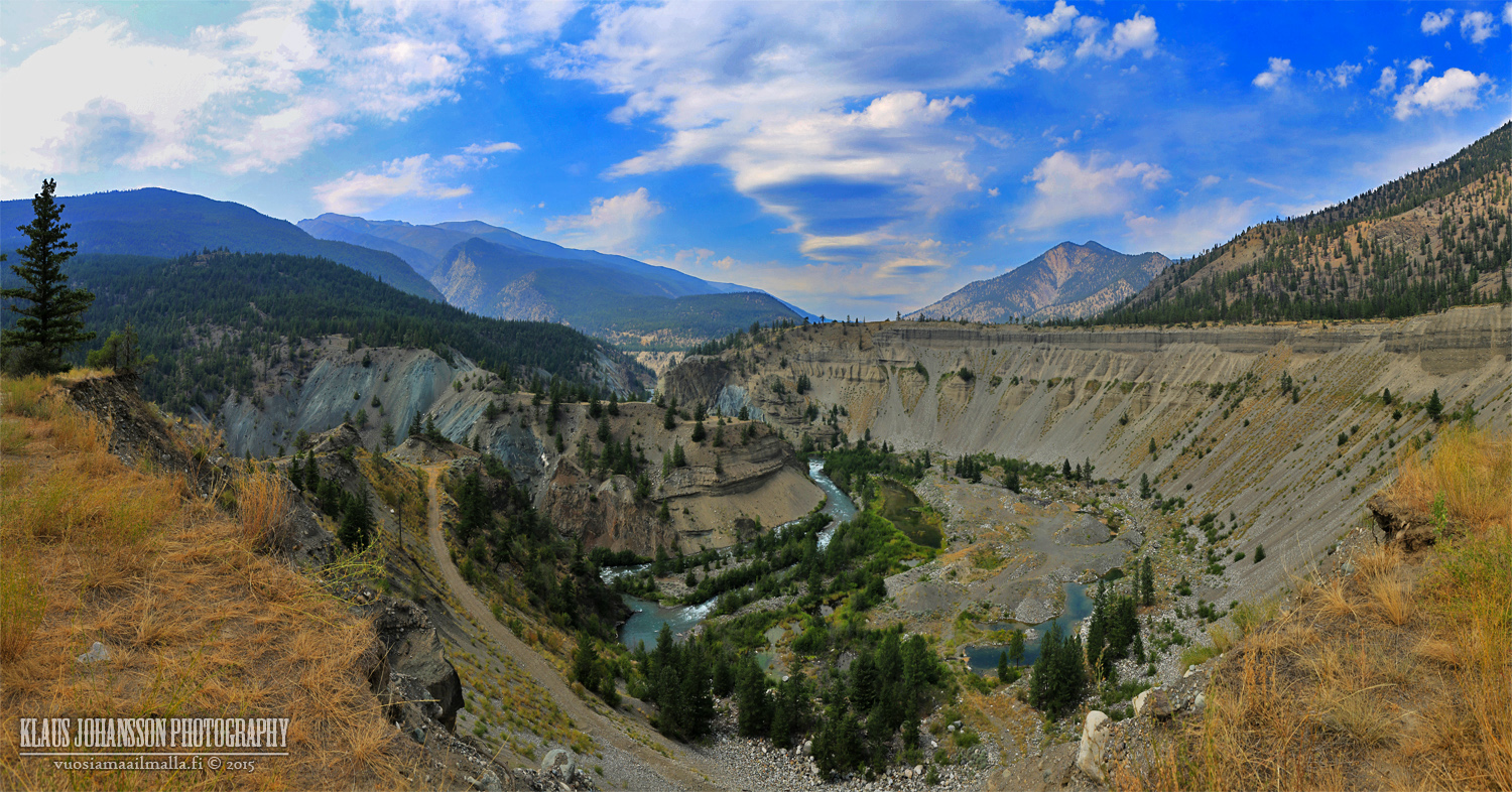
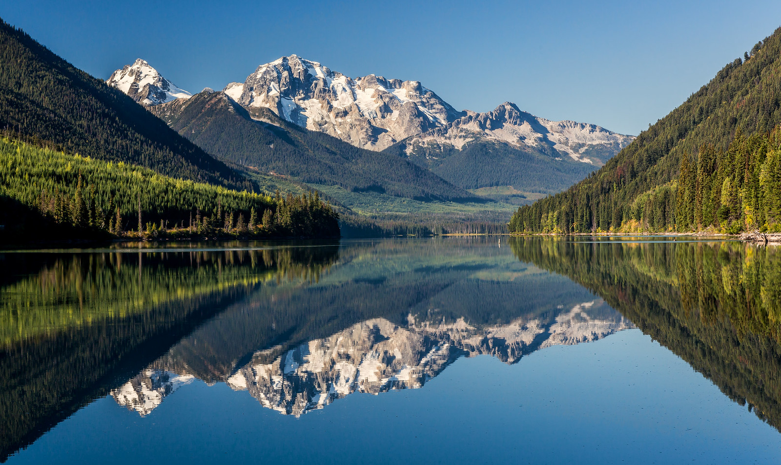
The scenery is amazing.
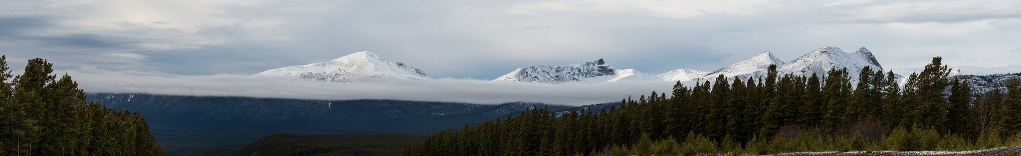
Honey, are we in the Rockies?
Road to Lillooet.
And there you have it! It is a beautiful drive but be prepared to spend hours traversing it. We had a good time and the weather was good, posing no problems. I hope you enjoyed.
A particularly strong squall came through and got us satched to the bone.
J. came the closest to death we've ever come on our hike - slipped on a wet rock and only didn't go over a cliff because of the dog leash hooked on the rock and changed where she landed.
__________________ Note to self: "The plural of anecdote is not evidence."
Mohkínstsis — 1.6 million people at the Foothills of the Rocky Mountains, 400 high-rises, a 300-metre SE to NW climb, over 1000 kilometres of pathways, with 20% of the urban area as parkland.


 Prev
Prev


 Linear Mode
