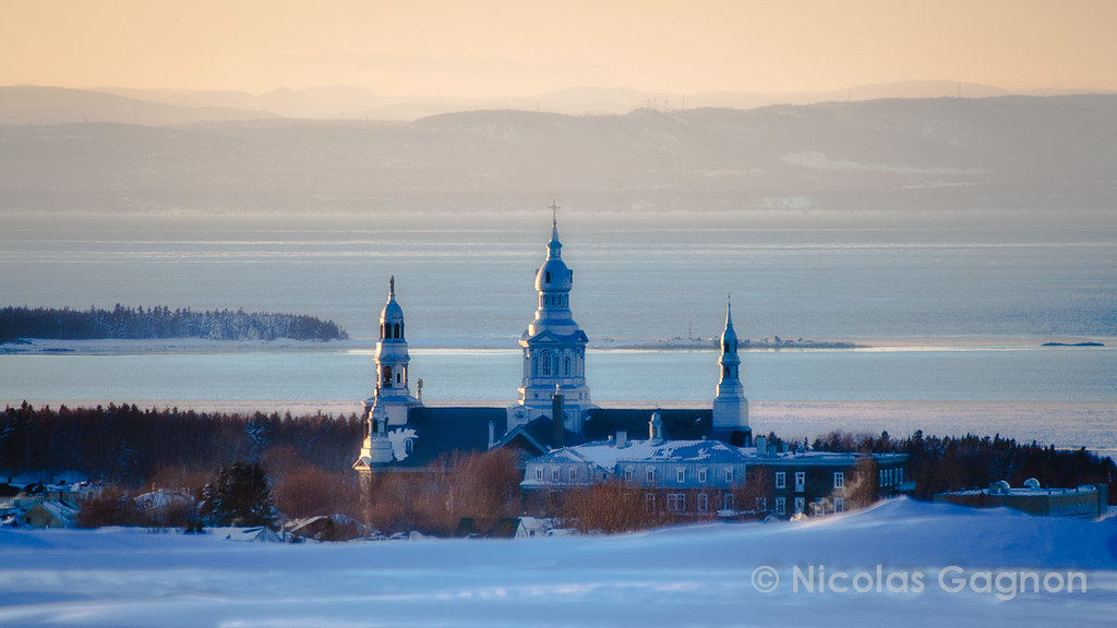
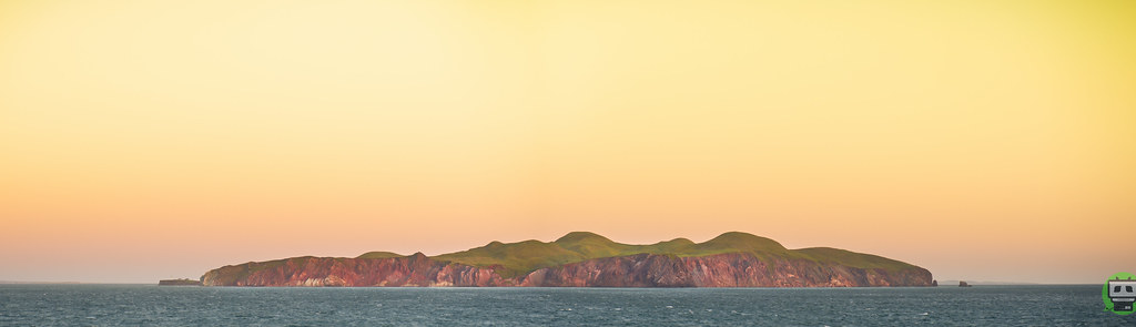
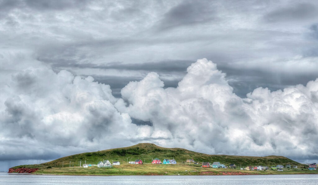
A few Google Maps views/pictures of some of the isolated towns along the south coast of Newfoundland - the only portion of the island with no highway. Most of these communities have no roads or cars.
• Video Link
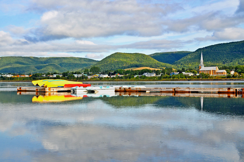
Ramea


Bill Harris, Google Maps
Grey River-Jert's Cove


Petr Chladek, Google Maps
Francois


bodha, Google Maps
McCallum


Petr Chladek, Google Maps
Gaultois


Halim, Google Maps
After Gaultois, the ferry route ends at the appropriately-named Hermitage, which is nearby and connected by road to Harbour Breton.
Harbour Breton is, by far, the largest community on the central south coast (excluding the southwest coast, Burin and Avalon peninsulas, which we don't include in the term "south coast") and the only one in the central region with a road connection to the rest of Newfoundland. The promise of this road connection made it one of the most passionately Confederate areas during the referendums on joining in 1948.


Halim, Google Maps


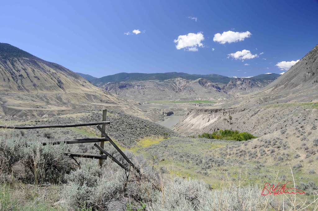
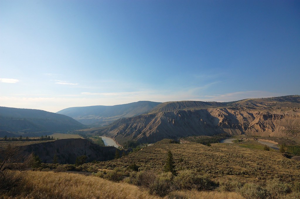
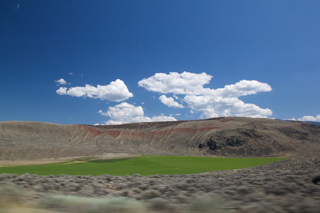
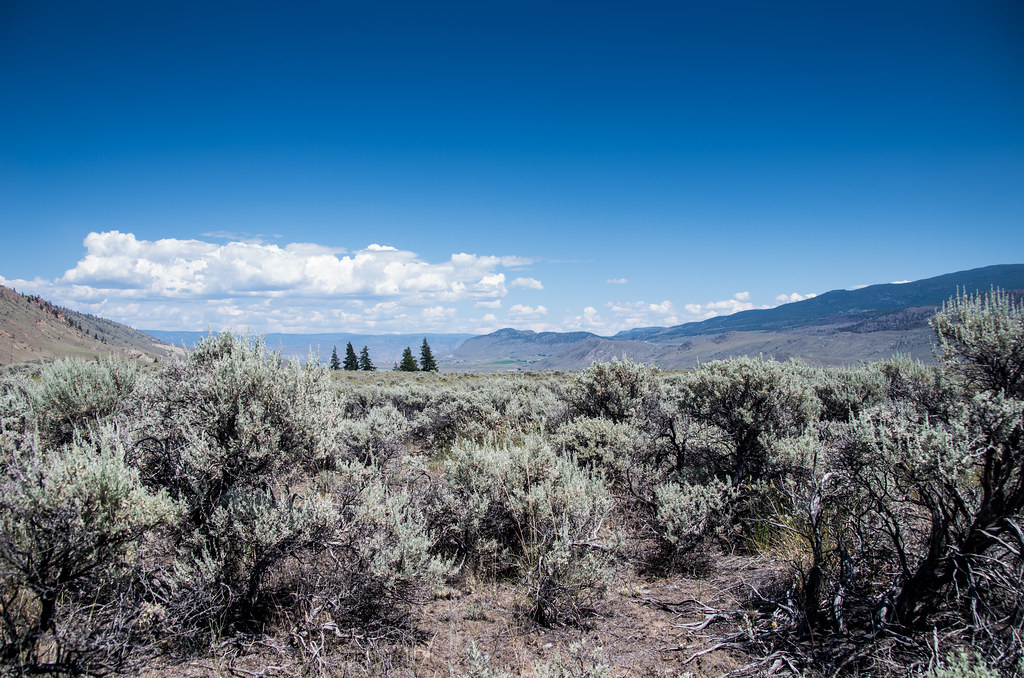
Of course, it's not a convenient road. If they want to visit nearby St-Pierre-et-Miquelon, France, this is the drive they have to take to catch the ferry. (There is nothing on that highway from Harbour Breton almost all the way to Grand Falls-Windsor. It is a wilderness road, not even a gas station).

The drive pictured above is 8.5 hours.
Interesting part of the island. Very disproportionate number of blondes. And completely random, been-there-for-centuries Eastern European names mixed in with the French and Irish ones that dominate.


 Prev
Prev


 Linear Mode
