I’ll start by presenting you one of my favourite road stretches :
35 km along route 132, in Gaspésie, from Ruisseau-à-Rebours to Gros-Morne. This road segment is quite picturesque ; it follows the south shore of the St. Lawrence estuary, along a series of 5 capes and coves. Every cove is home to a village or hamlet. Moreover, the settlements often have interesting and poetic names.
I’ve been there several times. I’m captivated by those villages and hamlets since I was 7 years old, when my dad, proud of my new ability to read, gave me this old touristic guide of Bas-St-Laurent and Gaspésie, written in the 70s. This was a great era for touristic guides in Quebec. The Ministry of Tourism produced a great series of guides about every historic region of the province, relating the history and legends of all the remarkable place. This is the way I was introduced with Quebec’s rich legendary past and fertile folklore.
Here we go, guys !
1. Start :
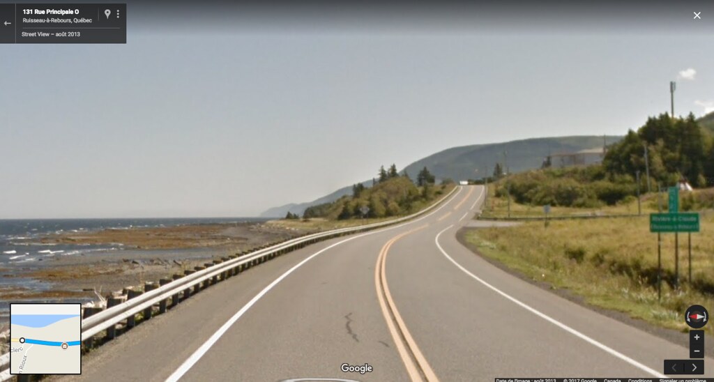
Hamlet of
RUISSEAU-À-REBOURS
Free translation of the toponym : "Backwards Stream"
The legend says that the first settlers named the place this way because in times of high tides, the stream that into the St. Lawrence would then flow backwards, towards the interior instead of the sea. This has never been proved, but it adds some poetry to the maps ;-) Historians prefer the theory that the name would be a deformation of the hagionym Harbour, last name of one of the first settlers that would have been distorted.
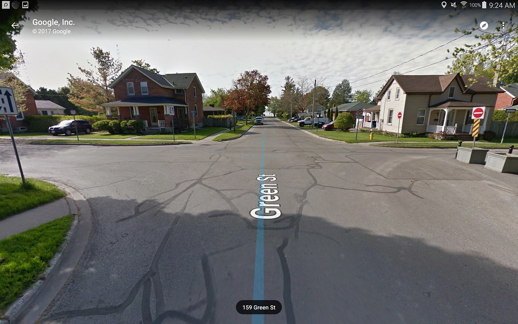
 Google StreetView
2.
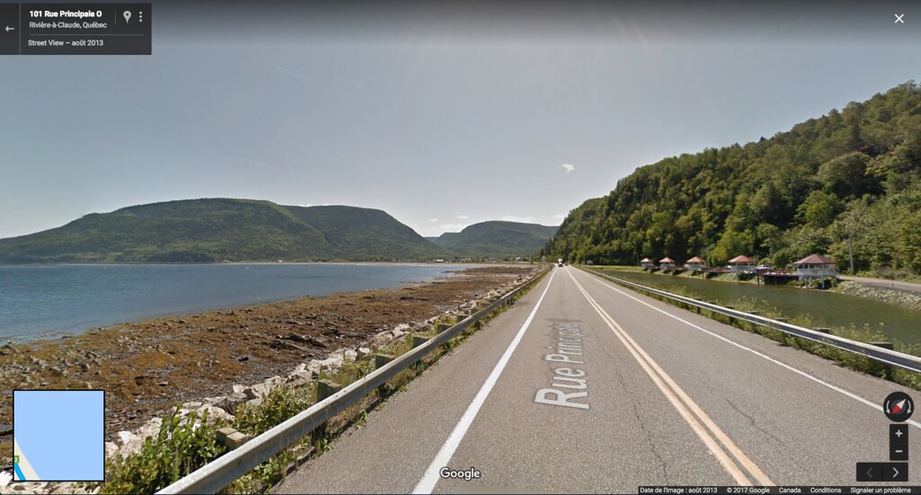
After a few kilometres, we pass through the hamlet of
RIVIÈRE-À-CLAUDE. There was never a guy named Claude. It’s said that the name comes from old french "Glaude" which would mean seagull. There are a lot of seagulls in Rivière-à-Claude. I guess the name’s right.
 Google StreetView
3.
The village of
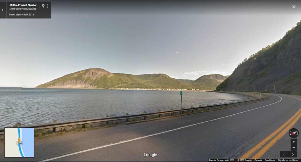
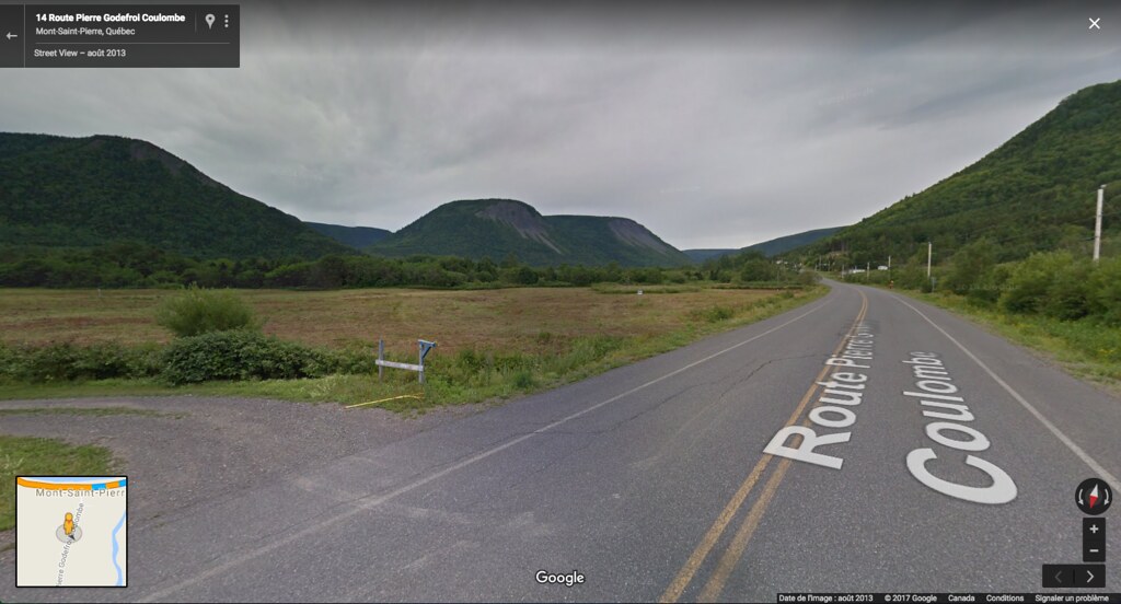
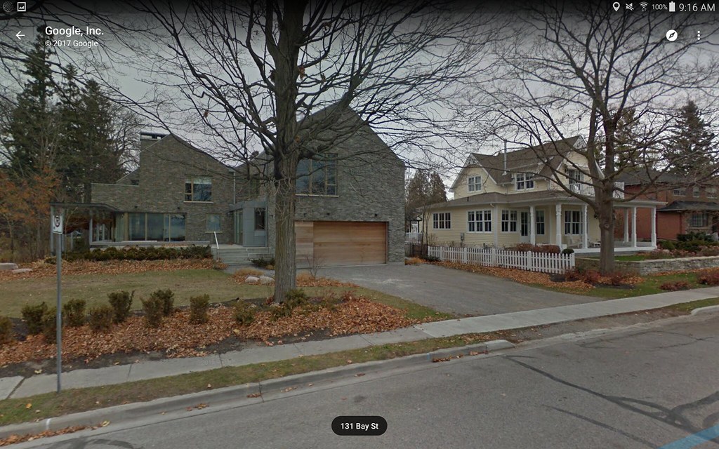
MONT-SAINT-PIERRE, population 155, isn’t really outstanding, but its natural setting is.
 Google StreetView
Just beside the village is a beautiful valley. The area is known as Quebec’s glider capital.
 Google StreetView
4.
Here, we enter legendary lands.
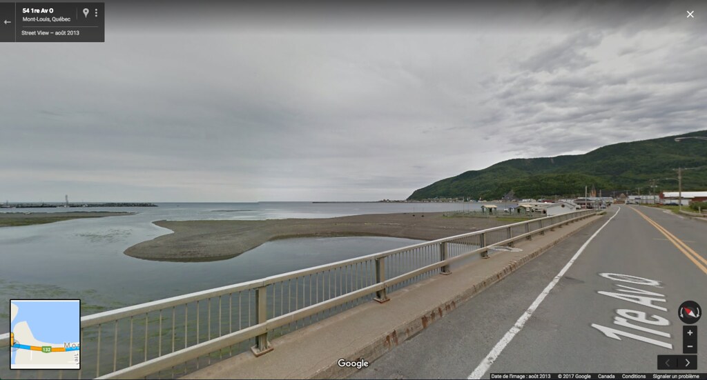
MONT-LOUIS is a fishing community and also the main village miles around, with a population of 1134. We access to the village by the
pont des Chicanes, or "
Arguments bridge", an odonym that comes with a delightful
legend.
On the bridge you see below takes place this famous legend from the 18th and 19th centuries : the talking cats. Yeah,
very evil and talking cats. According to the locals, very special cats were meeting n this very bridge, for nocturnal black masses. The story goes as follows. The villagers had to build a bridge over the river. However, some of them did not want to contribute and provide somme wood for construction. This caused some violent arguments between them, thus the name of the bridge, le pont des Chicanes, or, in english, "Arguments bridge". On a cold winter evening, the mailman, a guy named Sasseville, who was doing his run by foot from Mont-Saint-Pierre every month, arrived late in Mont-Louis. When he passed on the beach, along the bridge, he heard very loud and violent voices. He realized that there were hundred of cats talking and screaming on the bridge. The cats tried to attack him. He ran, fell face down in the snow, then finally reached the village. The villagers told him he was very lucky to survive. Apparently, hundreds of bewitched cats lived around that forsaken bridge, and on full moon nights, they would hold Sabbaths and attack the villagers that tried to cross, in order to punish them for their lack of collaboration…
The bridge and the village :
 Google StreetView
5.
Then comes what’s probably my favourite place on this road, the hamlet of
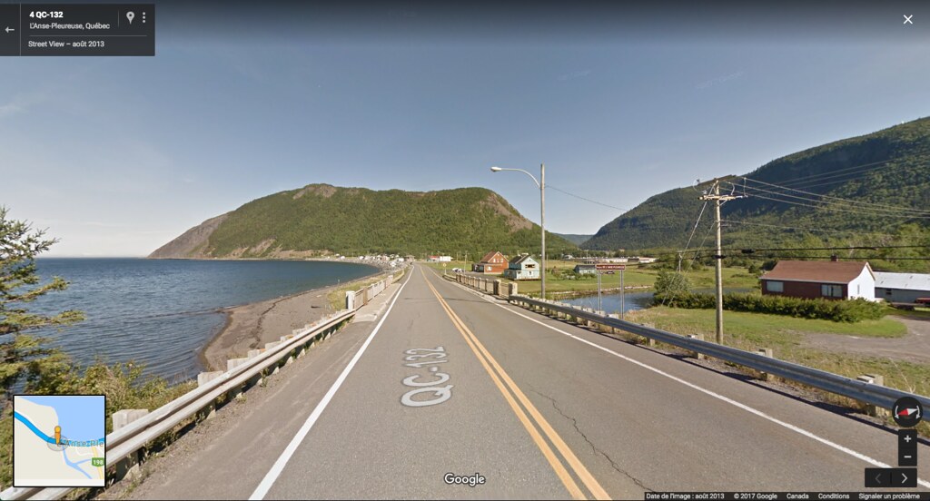
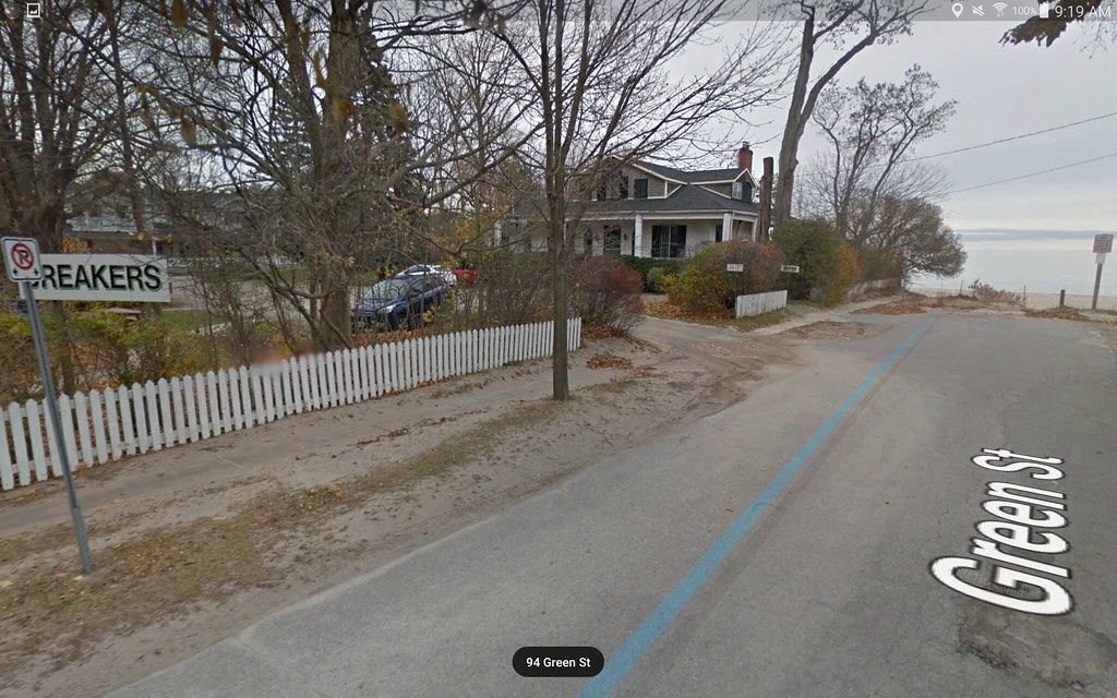
L'ANSE-PLEUREUSE. Probably the most picturesque also. This is a true land of legends, where history and tales get mixed up within the oral tradition.
Free translation of the toponym :
Weeping Cove
This name comes from a
legend. Or the legend comes from the name. That’s when history becomes interesting. In the beginning of the 1800s, on windy or stormy nights, the early settlers used to hear melancholic cries, like a long complaint. People started to talk. They believed that on those nights, a sad captain who perished a few years ago in a ship wreck just off the coast, came back to the cove as
a ghost, crying for his beloved fiancée that he had unfortunately left at the hamlet. After a few years, some hardy men were tired of the fear and the clunky explanations, and went to to cove one night. They found out the the noise came from tree trunks that were too close to each other. The wind sweeping through the trees and trunks made a loud sound, an illusion of "weeping". So, the men simply cut some trees, and the laments stopped. Trees are gone, but the legend and the magic stayed and are still known and transmitted by the locals nowadays.
 Google StreetView
6.
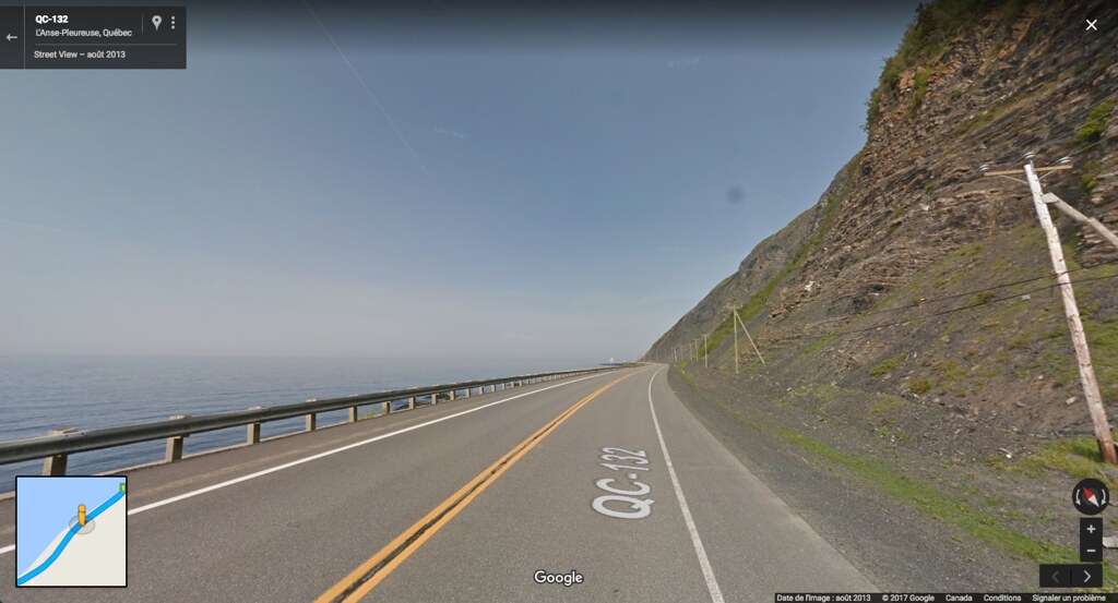
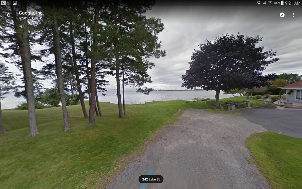
The landscapes along route 132 get dramatic… The horizon falls into the sea.
 Google StreetView
7.
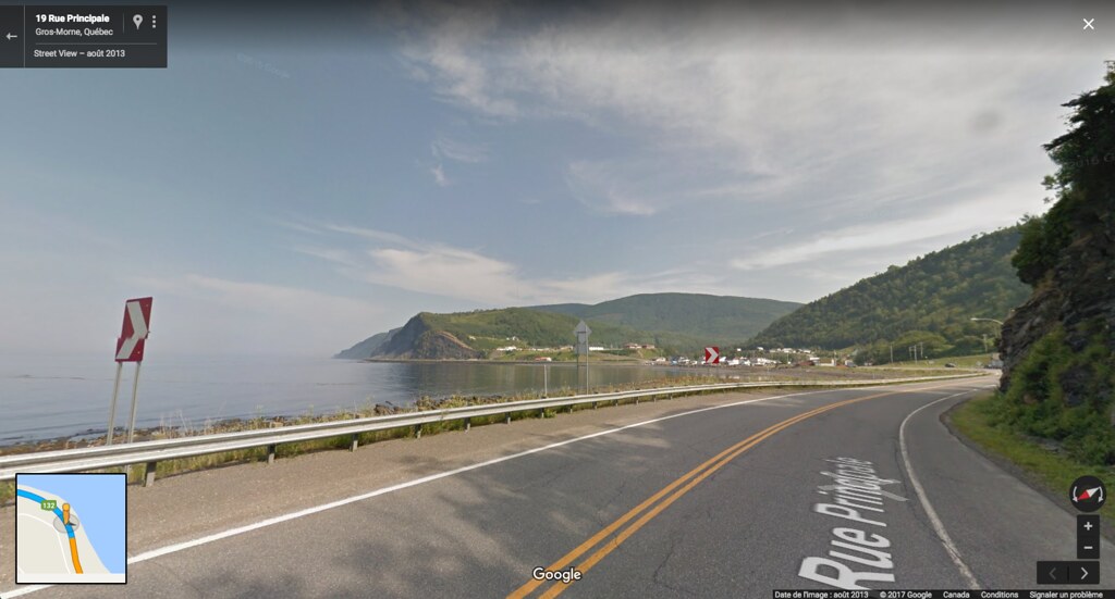
The arrival to the village of
GROS-MORNE is breathtaking. The original name of that place was Gros Mâle ("Big Male"), which, in old French, means big cape. However, for the 19th century catholic Quebec society, this name was too… sexual. The villagers changed it to Gros-Môle. But it did not stick. So, they finally opted for Morne, a word that comes from Spanish and also means ‘cape’ or ‘eminence’.
 Google StreetView
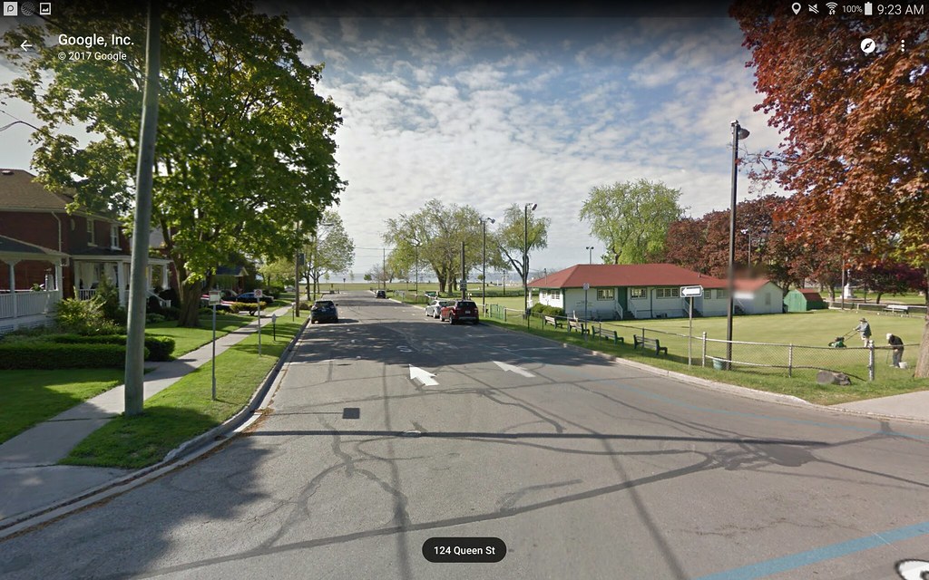
This is the end of the 35 km stretch. If you ever go, I’d say that you could at least continue to Grande-Vallée.
I can't wait to explore your places and your stories through StreetView


 Prev
Prev


 Linear Mode
