Quote:
Originally Posted by speedog

Help me out here, exactly what part of Calgary is in the Rocky Mountain foothills because I thought those foothills generally started somewhere just to the east of Morley. Bragg Creek would be in the foothills, Cochrane is not. Springbank, not in the foothills. Bearpaw, not in the foothills.
|
I'll help you out. For about 1500 km to the east of Calgary is relatively flat (often VERY flat) as the result of prehistoric lakebeds. However, there are plenty of steep valleys, ravines, and coulees throughout the prairies, that introduce a lot of variety in the landscape. Calgary has been carved by a number of converging rivers and creeks, which is a major reason why CPR had passage through the Bow Valley (and Rogers Pass) and why Calgary eventually grew where it did.
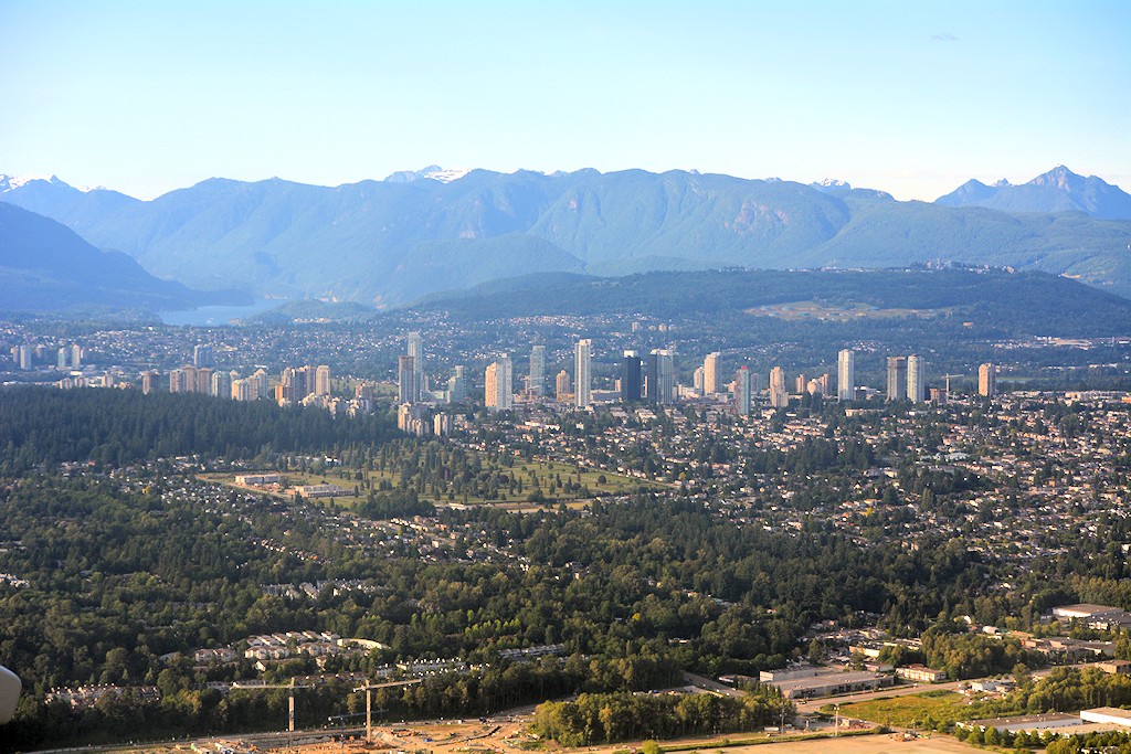
Meanwhile, tectonic forces were responsible for creating the Rockies, beginning with the eastern ranges, and then the western ranges over millions of years. Calgary marks the beginning of a transitional zone known as the Foothills, during which there in a dramatic change in flora, fauna, topography, and rock formations in only a few kilometres. Prairie grasses and wildflowers give way to aspen parkland; Plains bison gave way to wood bison; traditional Nitsitapii (Siksika, Piikani, Kainai) and Plains Cree land ends and Nakoda (Stoney) lands begin.
While east of Deerfoot, Calgary is predominately flat, much of the rest of the city is defined by the Bow River, Elbow River, Fish Creek, and Nose Creek valleys; and Nose Hill and Broadcast Hill (sometimes called Signal Hill or "The West Hills", containing the neighbourhoods of Signal Hill, Christie, Strathcona, Coach Hill, Patterson Hills, Springbank, Aspen, and West Springs). Notably, Downtown, the Beltline, and several inner-city neighbourhoods are built on a flood plain that is almost completely level.
Heading west from Calgary, one never really recovers the "flatness" experienced to the east, save for a few glaciated plateaus and gently-sloping coulees. Hence, one has entered the Foothills. There is no strict boundary, but I think one could conservatively say that the land east of Calgary is definitely NOT considered the Foothills, whereas the land west of HWY 22 definitely IS considered the Foothills. Within the city, you could use Sarcee Trail as a divider between plateau grassland and the nearly endless endless rolling foothills of the Rockies.


 Prev
Prev


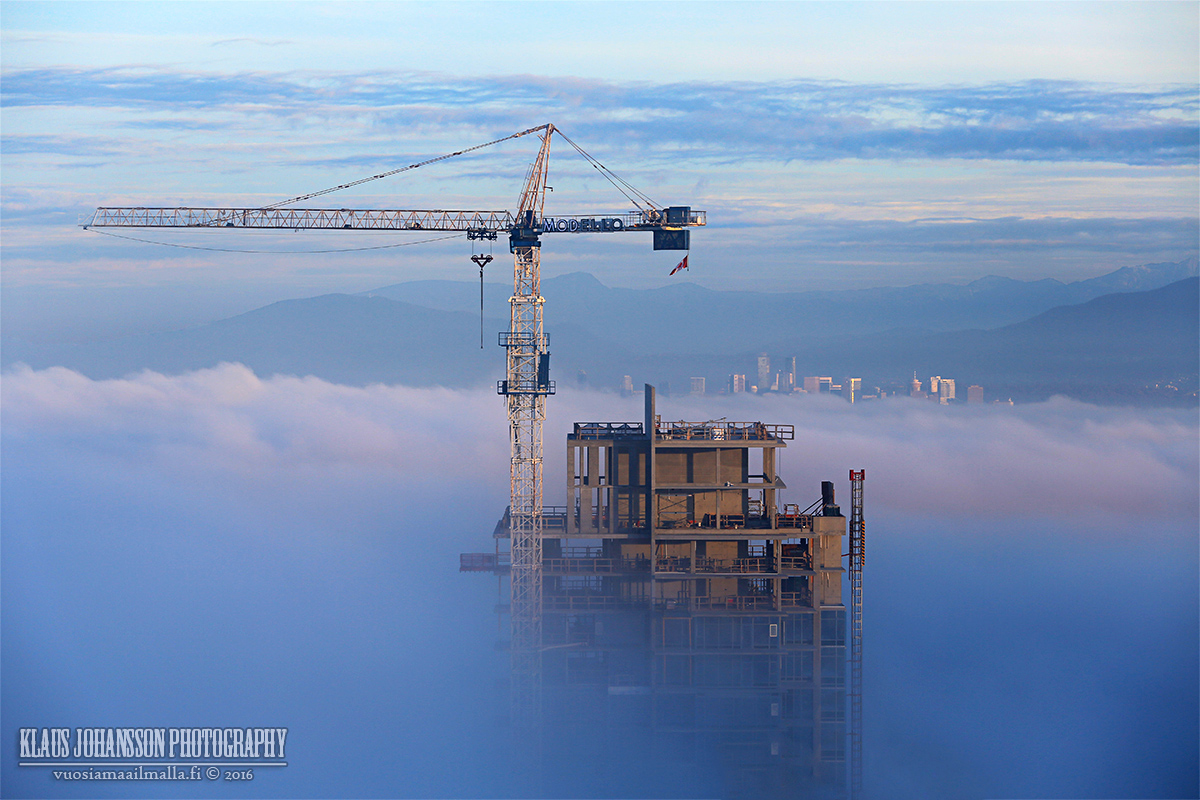
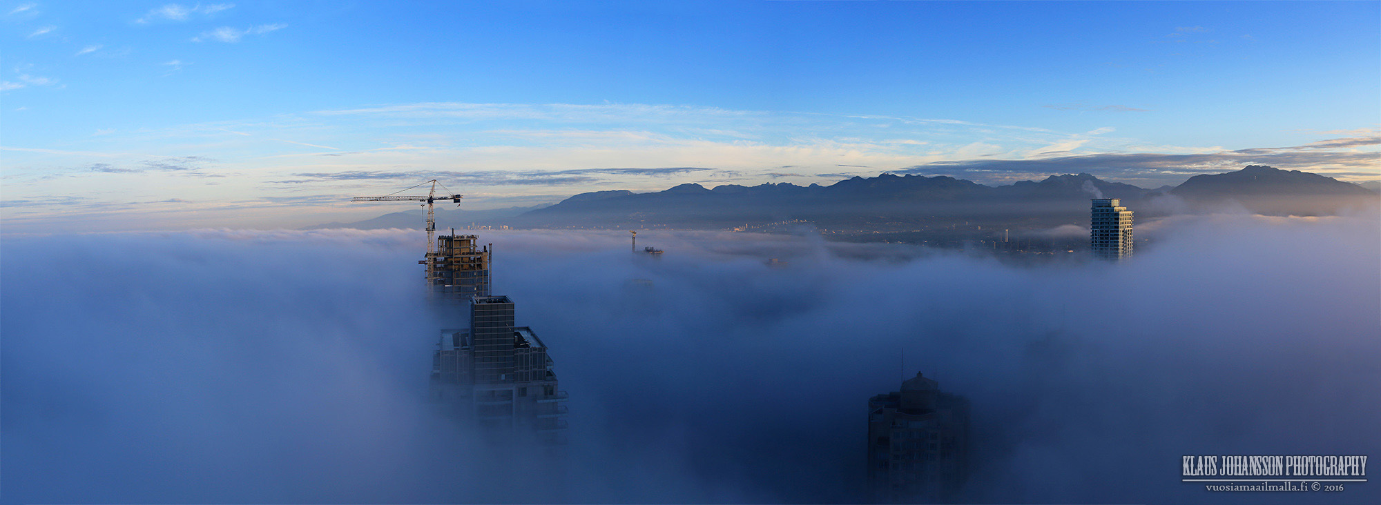
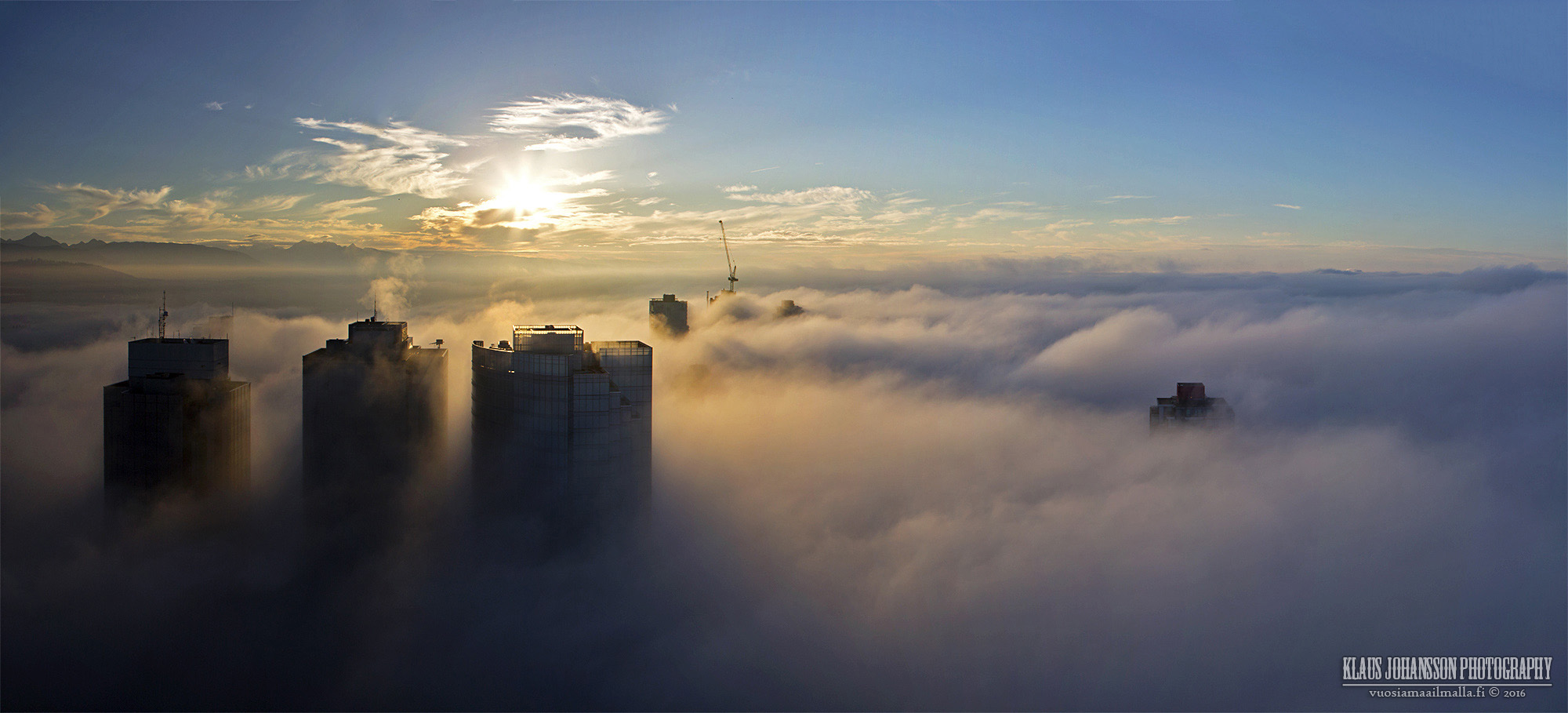


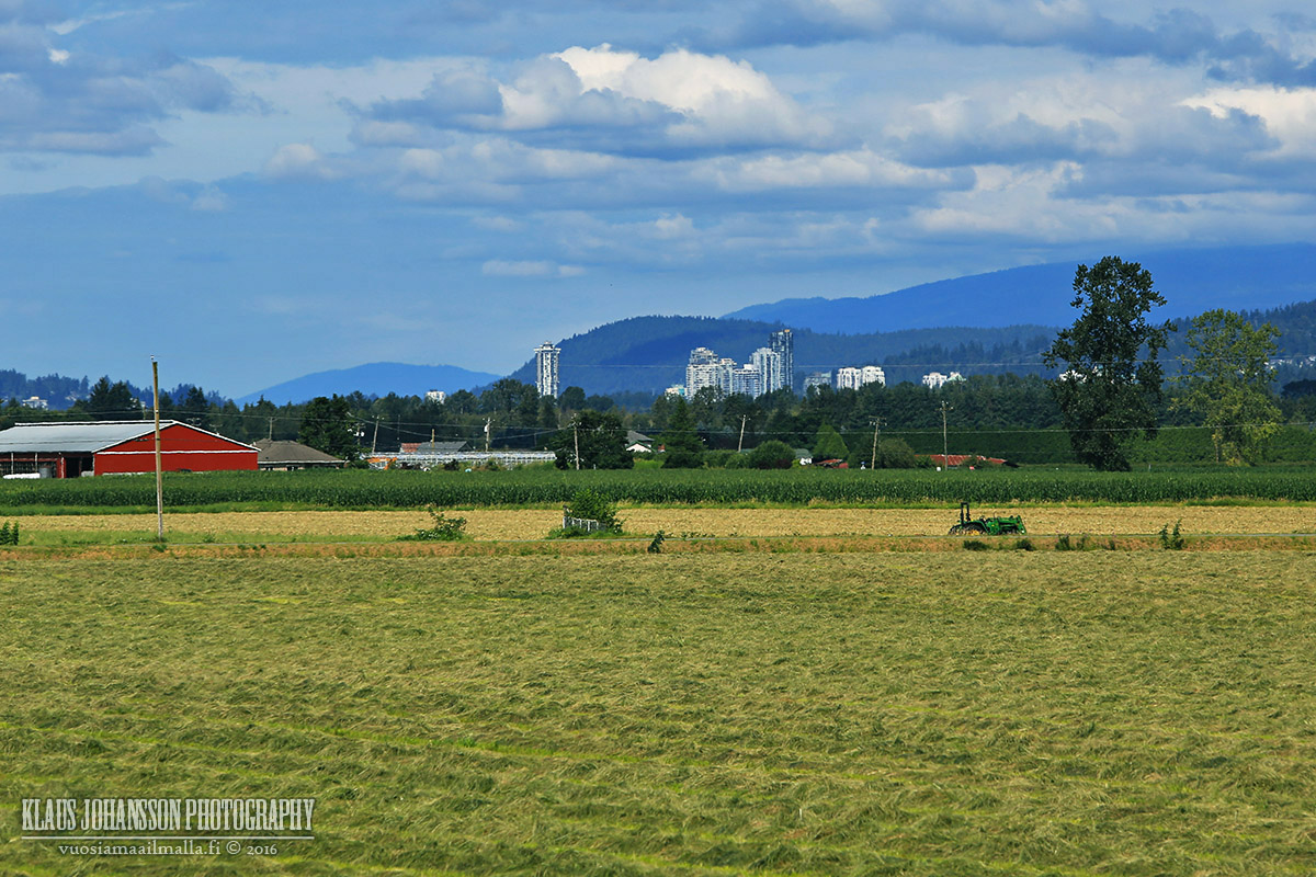
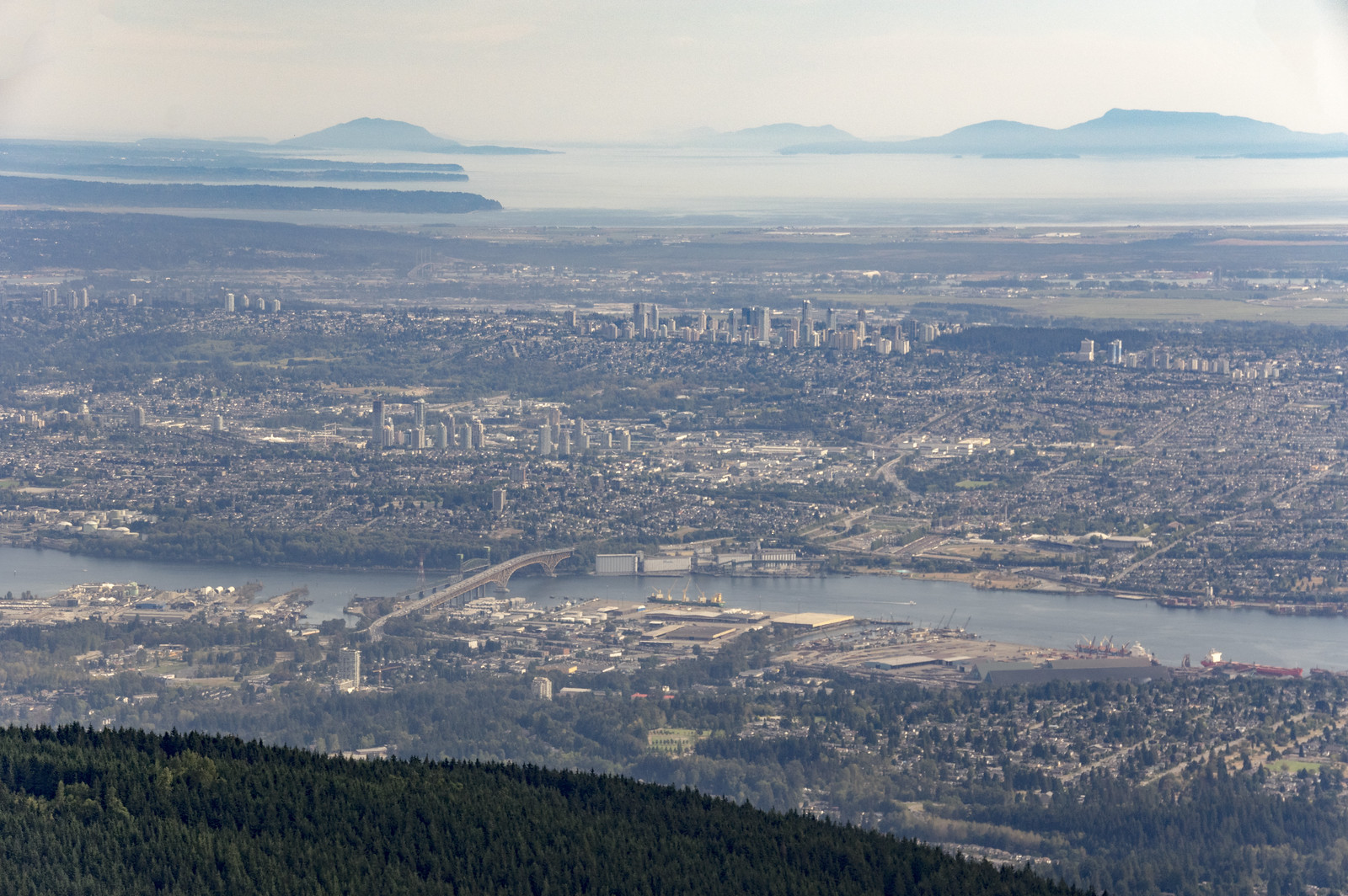
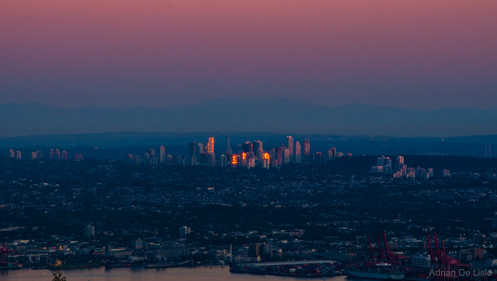
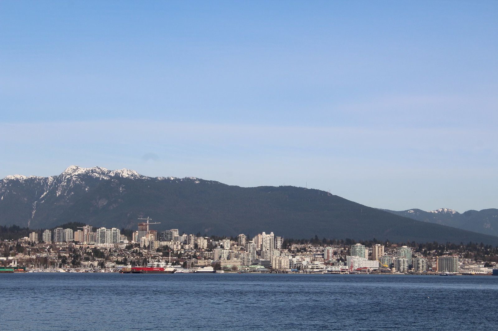
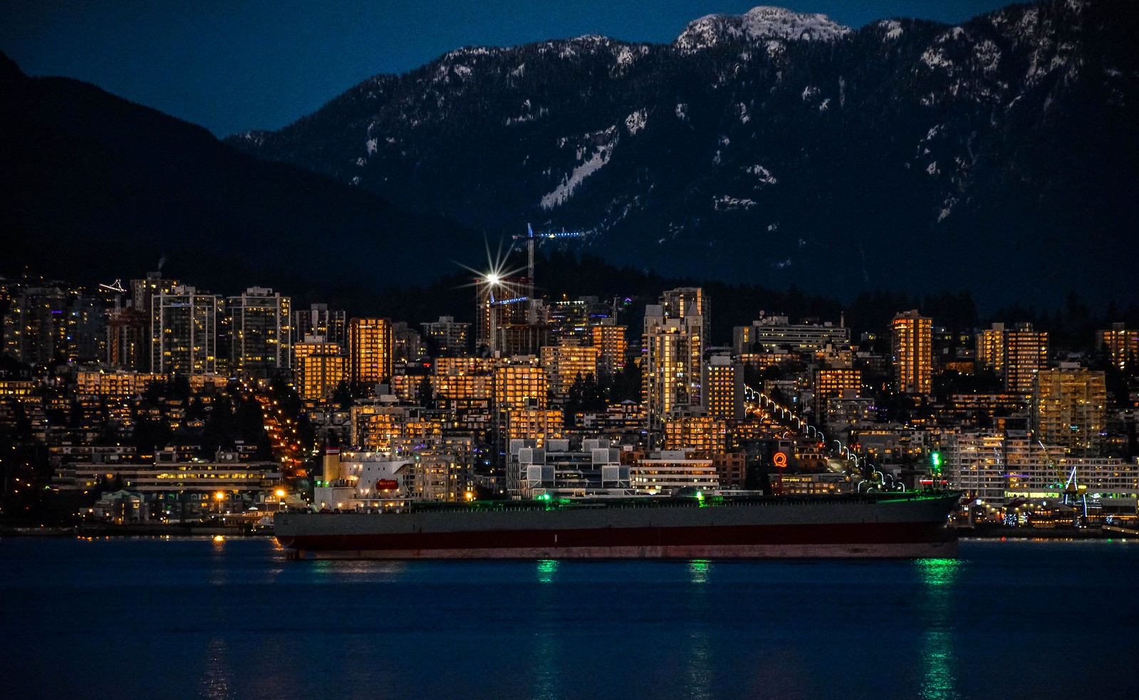
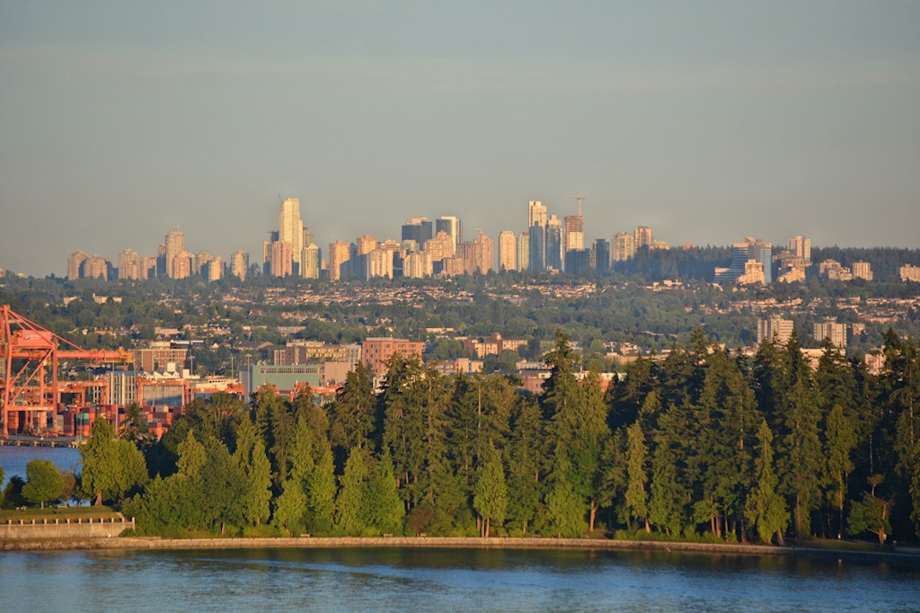
 Great pics!


 Linear Mode
