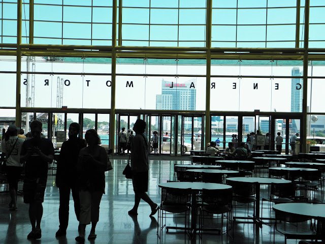
I got a chance to go home to Detroit back in July for a quick visit. While I was there I was able to go and take some photos of the Riverwalk and Dequindre Cut. All involved parties (city/state/non profit groups) did a great job on this project. Here are a few of those photos:
1. This is the St. Aubin Marina, which sits adjacent to St. Aubin Park

2.

3.

4. St. Aubin Park

5.

6.

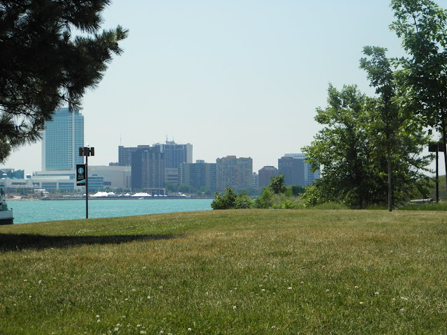
7. Windsor, Ontario skyline from St. Aubin Park, Detroit
8.

9.

10. Boat speeding along the Windsor, Ontario shoreline.

11.
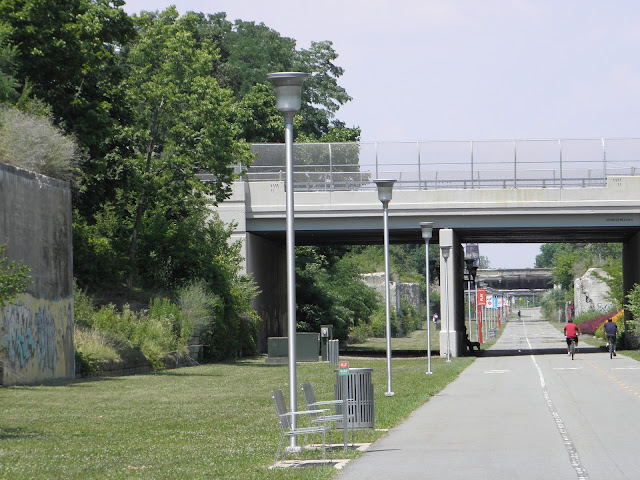
12. Trail leading to Dequindre Cut

13.

14.

15.

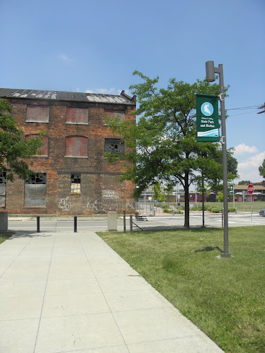
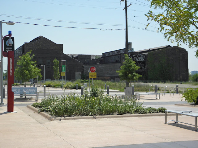
16. I know there are plans to renovate this old factory, but part of me would like to see them leave it as it is. It's presence adds a lot of authenticity to the surrounding area and its history, IMO.

17.

18.
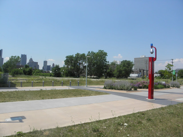
19. The entire greenspace stretches for about 1.5 miles from the river into the city to the Eastern Market. The day before taking these photos I jogged then entire length, back and forth, but I only travel about a fourth of a mile in due to time constraints for the photograph tour.

20.

21.

22.

23.

24.

25.
26.
27.

28.
29.

30.

31.

32.

33.
34.

35.

36. Caesar's Casino and Hotel, Windsor

37. I believe this is a map of all of the major historical ports/cities along the Great Lakes water system + Boston (I guess there was no room to include New York).

38. Sidewalk map of the Detroit-Windsor region.

39.

40.

41.

42.
43.

44.

45.
46. Andiamo's on the Riverfront. Perfect views of the river from the sidewalk tables.

47. Chrysler's Canadian HQ

48. Statue paying tribute to Detroit's legacy as one of the major termini on the Underground Railroad.

49.

50. For any Detroit 1-8-7 fans, this boat played a role in a plot of one of the earlier episodes of the season/series.

51.

52.


 Linear Mode
