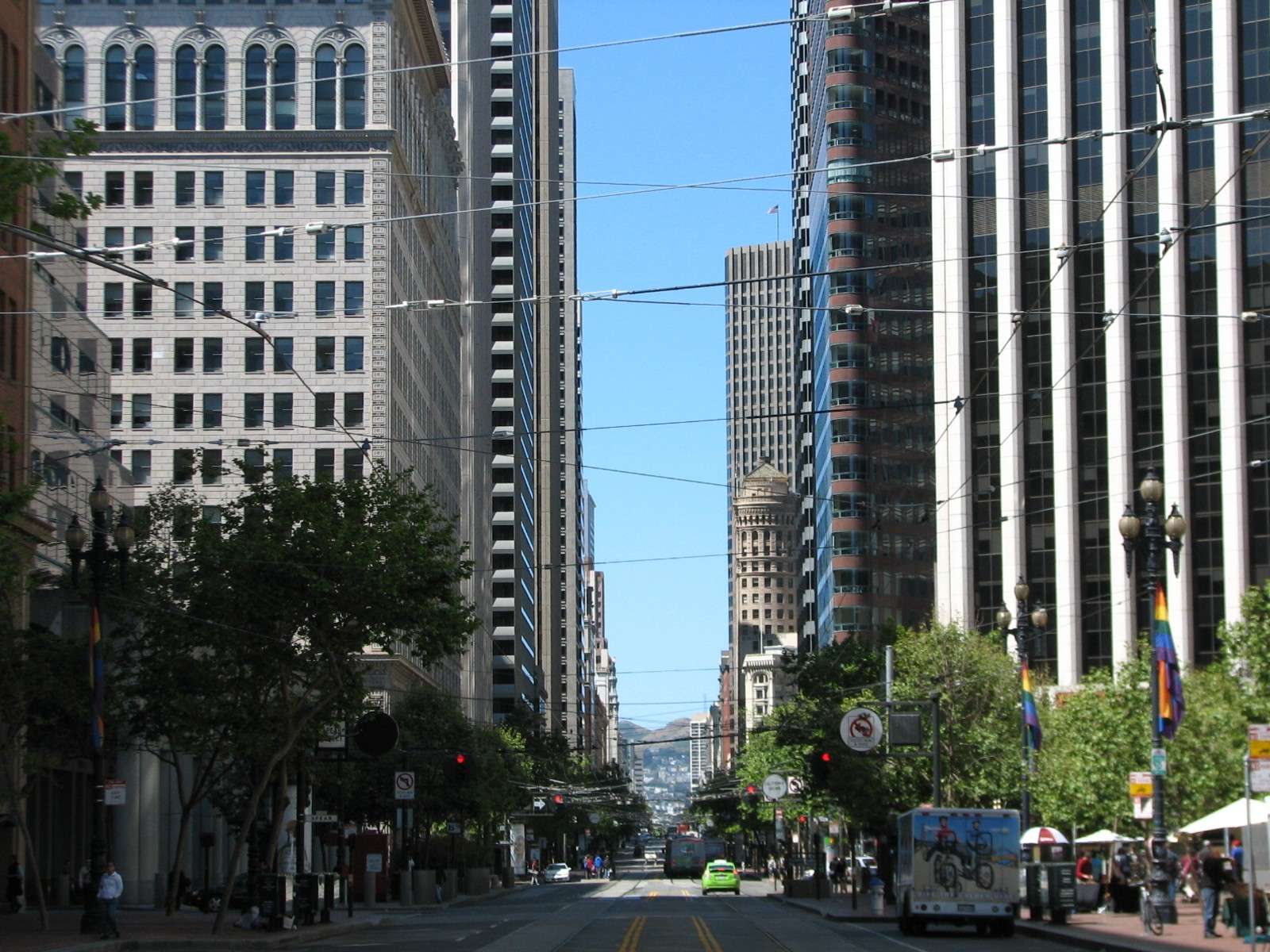
Financial District is a neighborhood within San Francisco's 7-mile by 7-mile city limits. It makes up the core of downtown and is composed of about 60 blocks. It features the tallest buildings of the city and the largest concentration of them as well; the skyscrapers are primarily older ones since the area is almost entirely built-out and surrounding permitted heights and historic designations restrict further development. The city's newest skyscrapers are concentrated in the South of Market area adjacent to the Financial District, where lower density and fewer historic designations allow newer large projects. It is surrounded by several other neighborhoods, most of which are considered part of the downtown: to the South is the South of Market area, with the part of it closest to the Financial District acting as an extension of the tall city skyline. Market Street is the dividing line between these two districts, and I consider the buildings on both sides of the street as part of the Financial District. A thin district along the Eastern edge is the Embarcadero, along the San Francisco Bay waterfront. To the North is Telegraph Hill and North Beach; I consider the small area known as Jackson Square to be part of the Financial District on its Northern border. West is Chinatown, and Southwest is Union Square; I consider Kearny Street to be the dividing line between the Financial District and those two areas. The terrain is mostly flat. It is a very busy neighborhood during the week, but on weekends it is rather quiet since a majority of the buildings are offices. However, a mix of some hotels and restaurants and shops and residential buildings helps it avoid becoming a deserted area during those days. The area has both historic and modern edifices; this thread will focus on the historic era while another one will focus on the modern era:
http://forum.skyscraperpage.com/showthread.php?t=192884
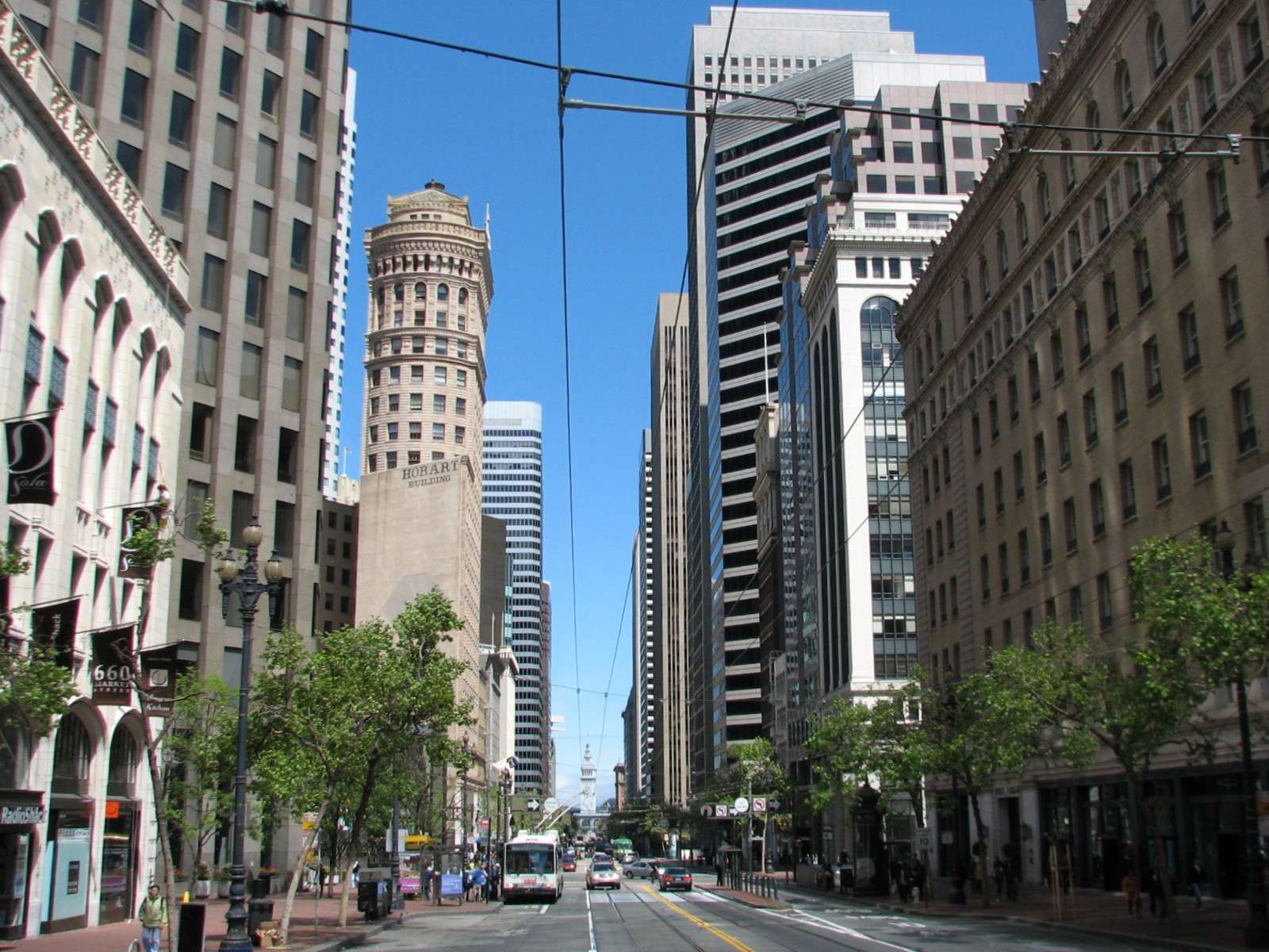
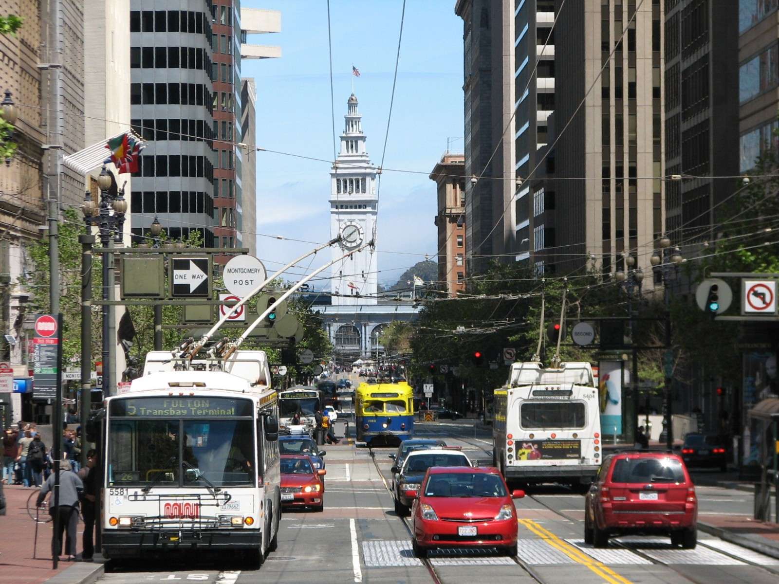
Market Street:
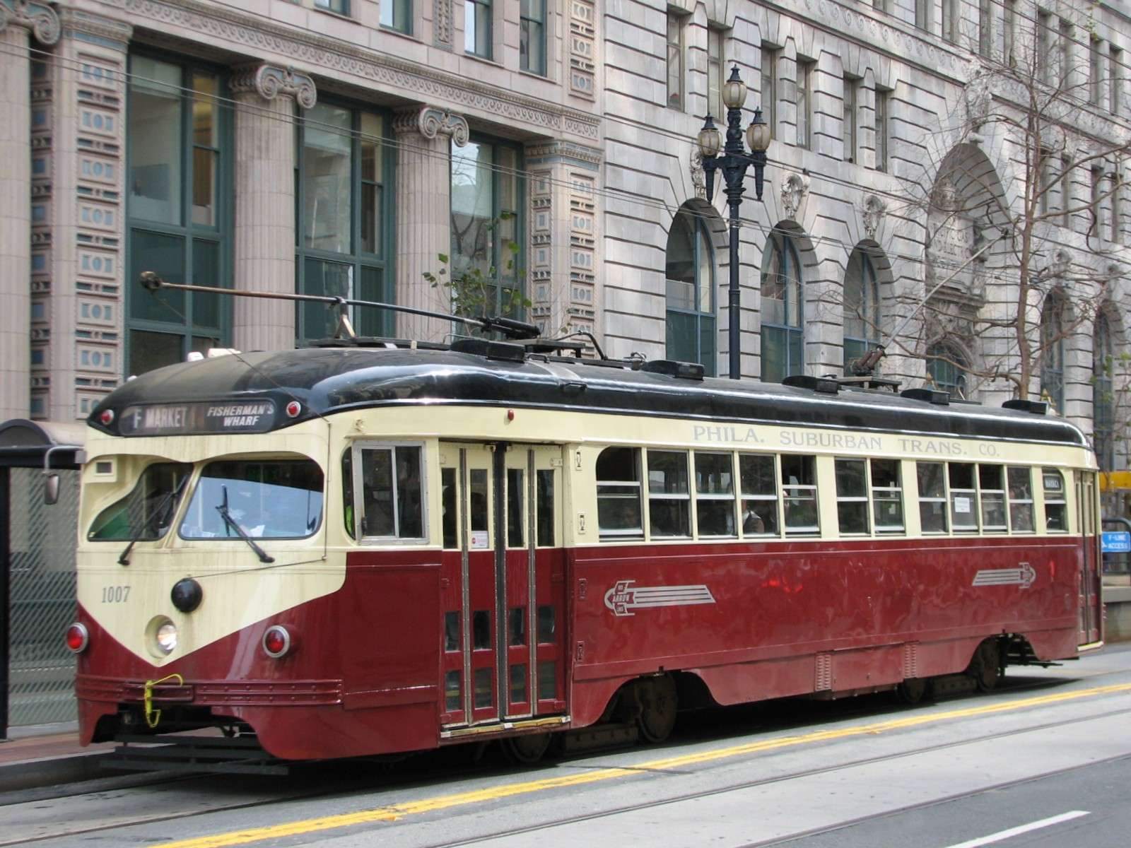
The largest and grandest street in the Financial District is this one that forms the border of this area and the South of Market area. It is a two-way diagonal street in contrast to the grid of the rest of the district and forms triangular blocks where it meets the grid. The streetscape is treated consistently throughout its length in the district with street furniture and amenities. The historic streetcar line runs along its center, while all the city light rail lines run in a subway one level below and share their stations with the Bay Area Rapid Transit (BART) rail lines another subway level below them. The street ends at the Embarcadero on the waterfront, with the Ferry Building acting as the terminus of the axis; looking down the street in the other direction, the hills of Twin Peaks further South in the city can be seen.

Pine Street:
This street is typical of the scale of many of the one-way streets in the grid.

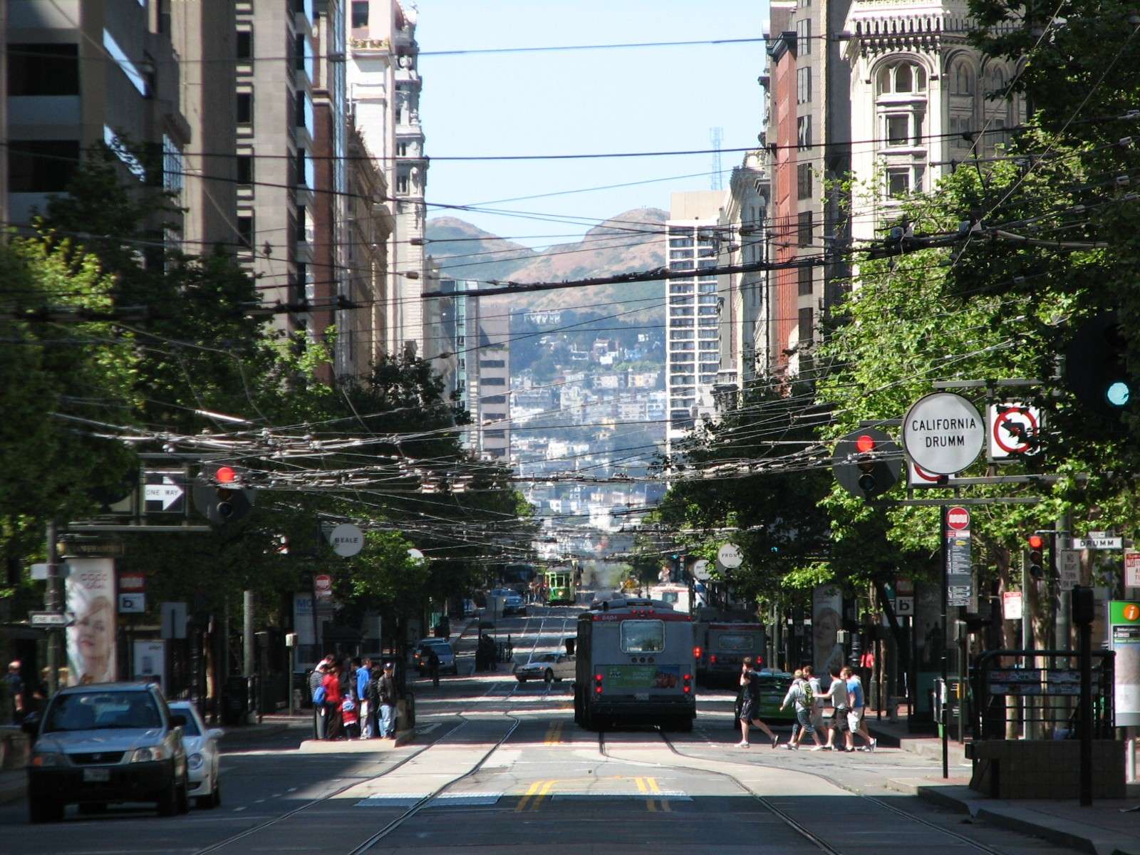
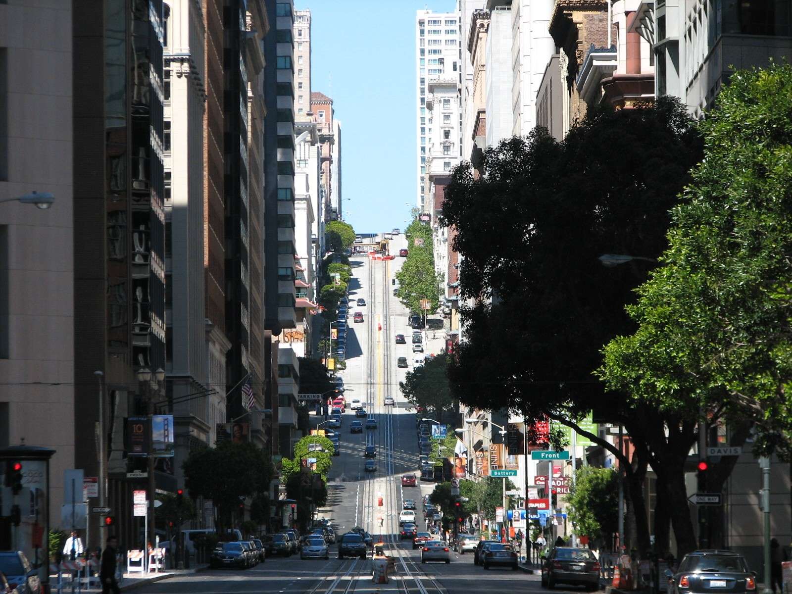
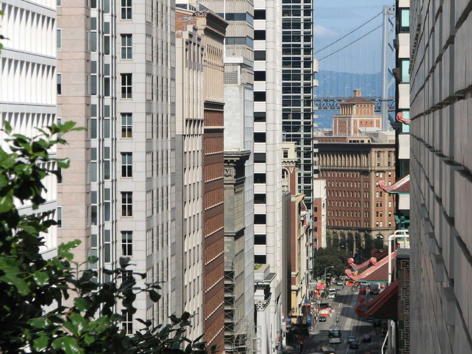
California Street:
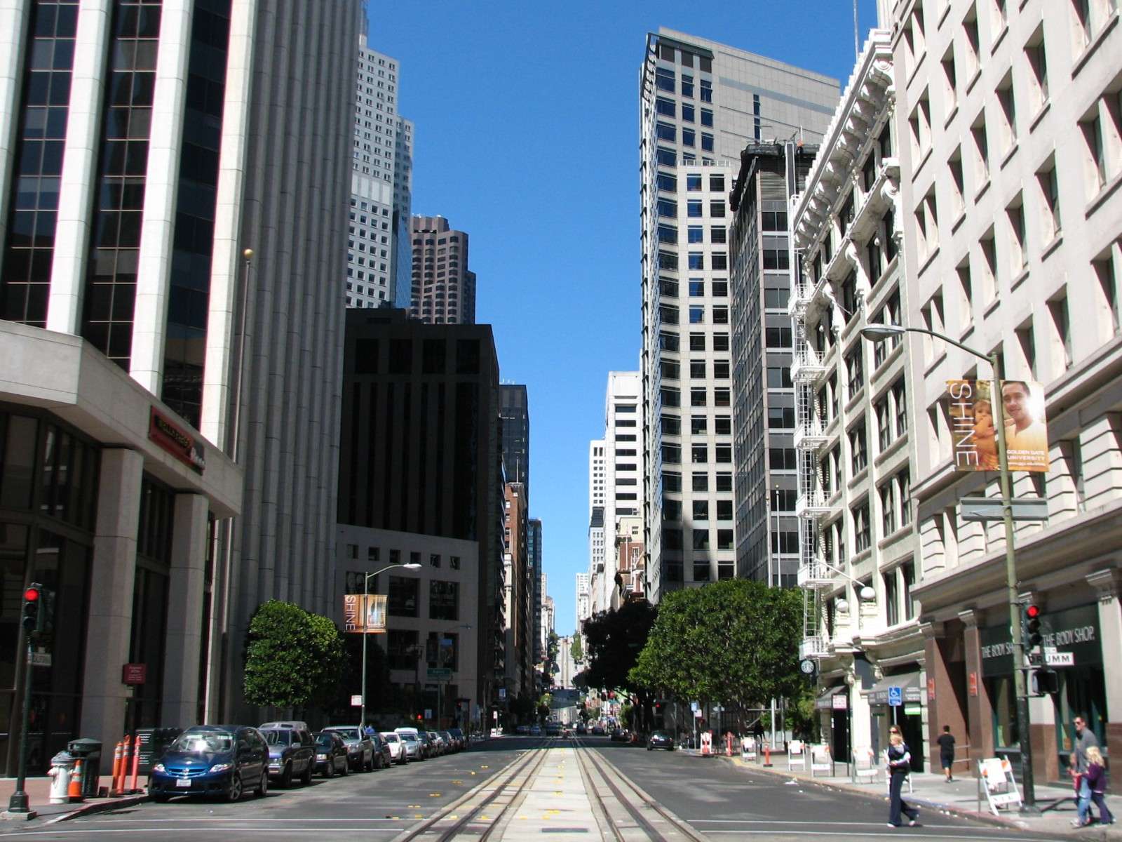
One of the three historic cable car lines runs through the middle of this two-way thoroughfare, climbing up Nob Hill in the background. The view from Nob Hill looking down the same street is dramatic, with one of the towers of the San Francisco Bay Bridge visible in the distance. The 'canyon effect' of the close proximity of tall buildings along much of its length is notable.
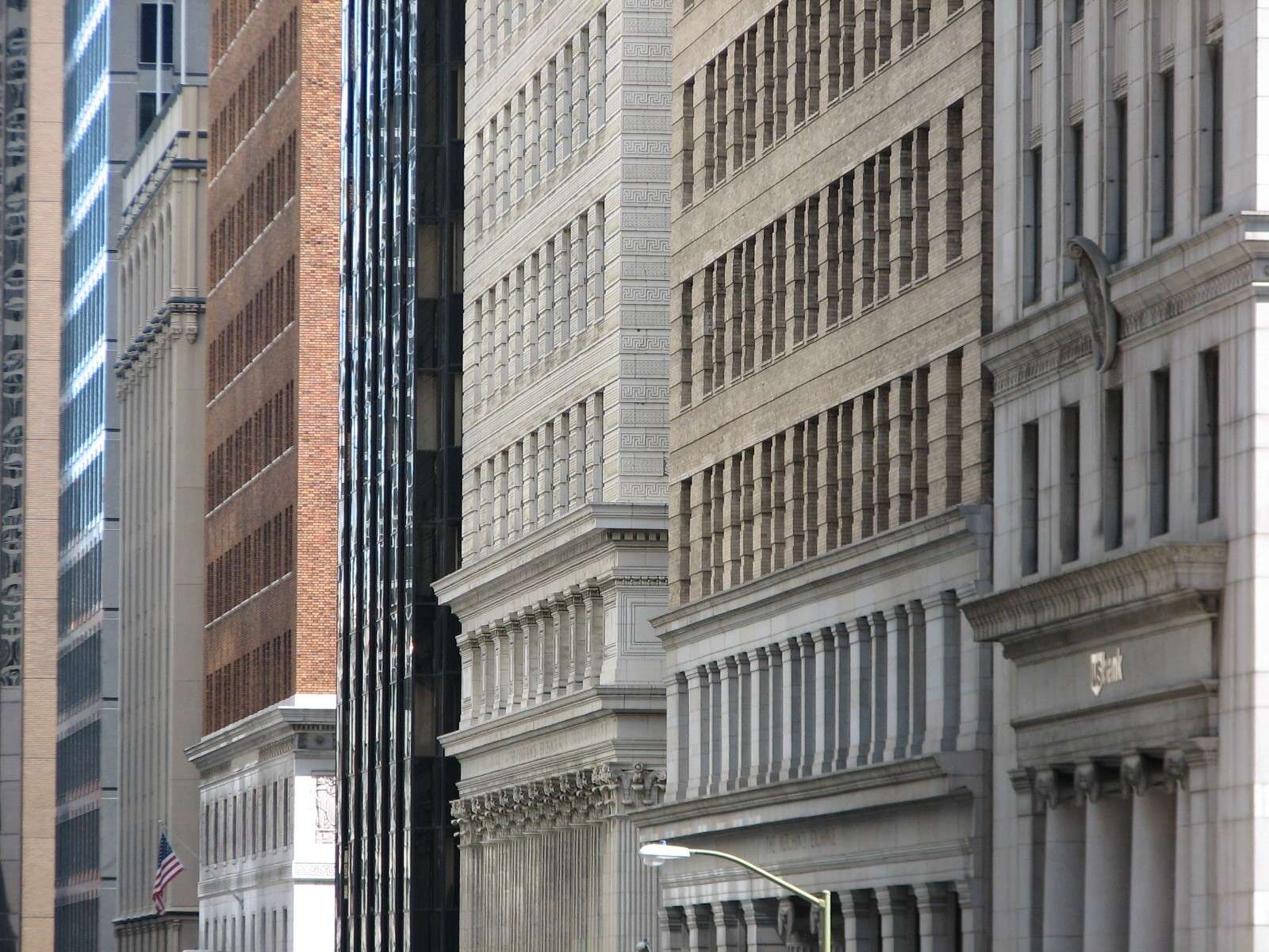
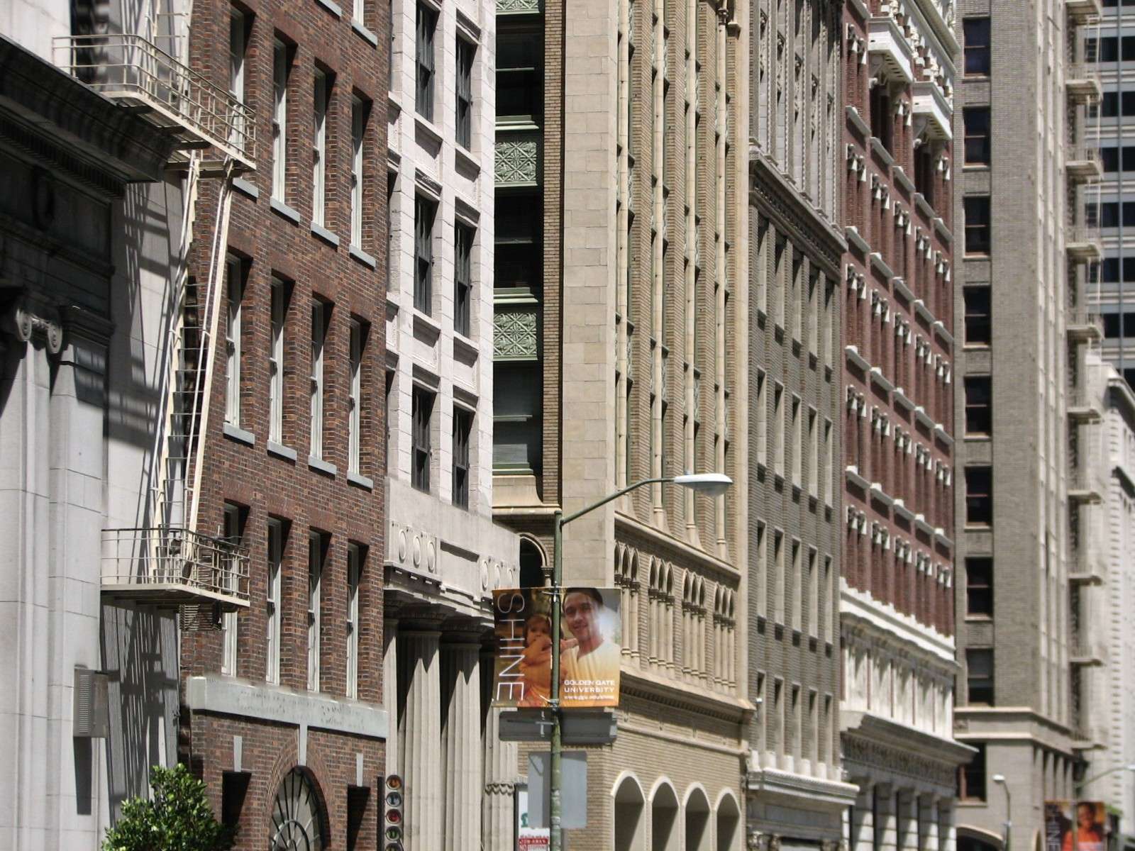
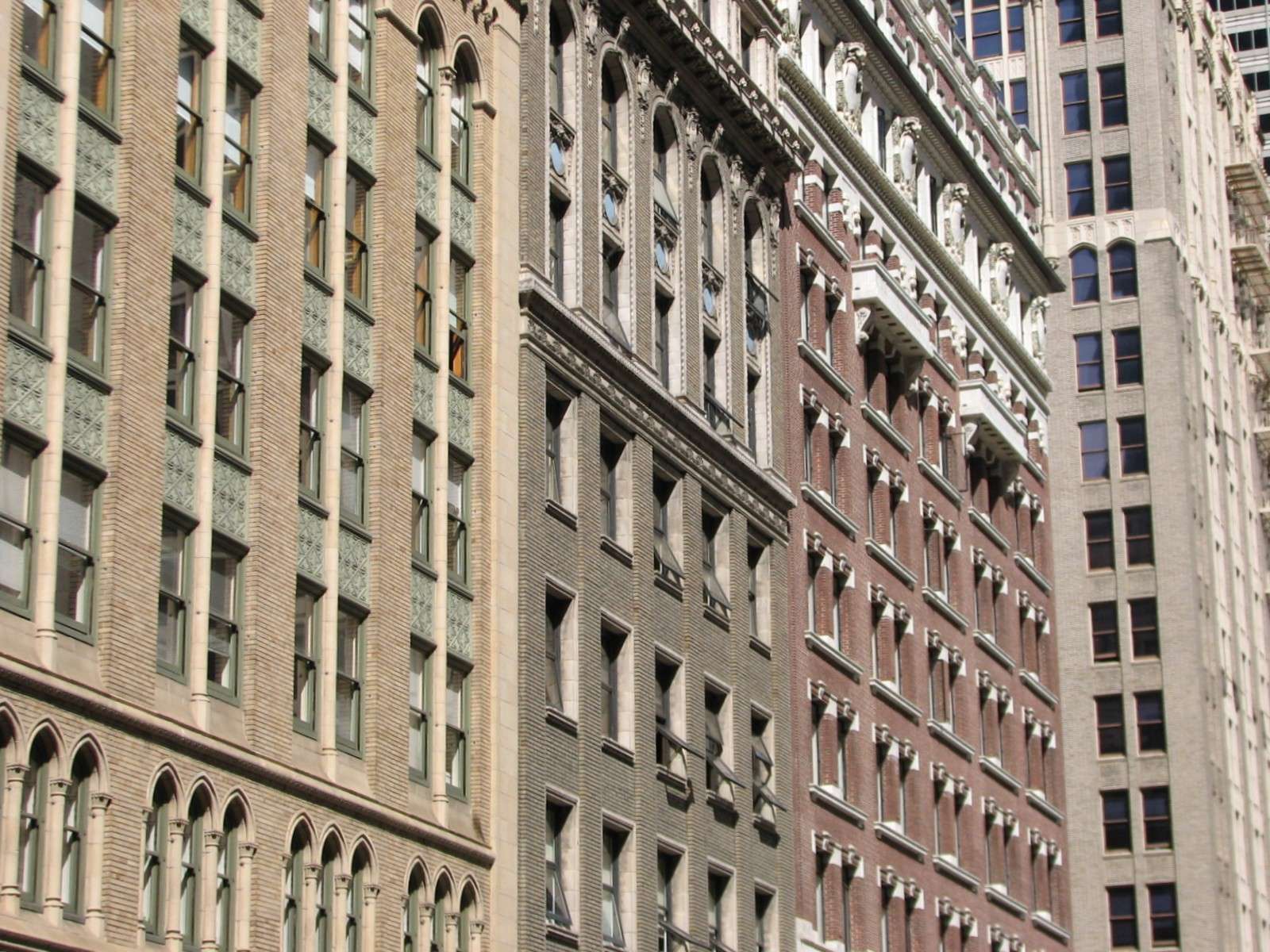
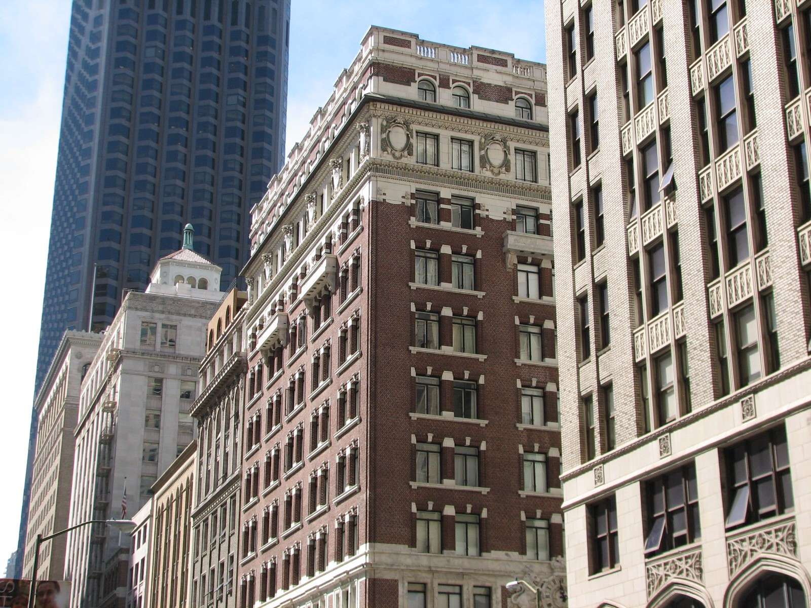
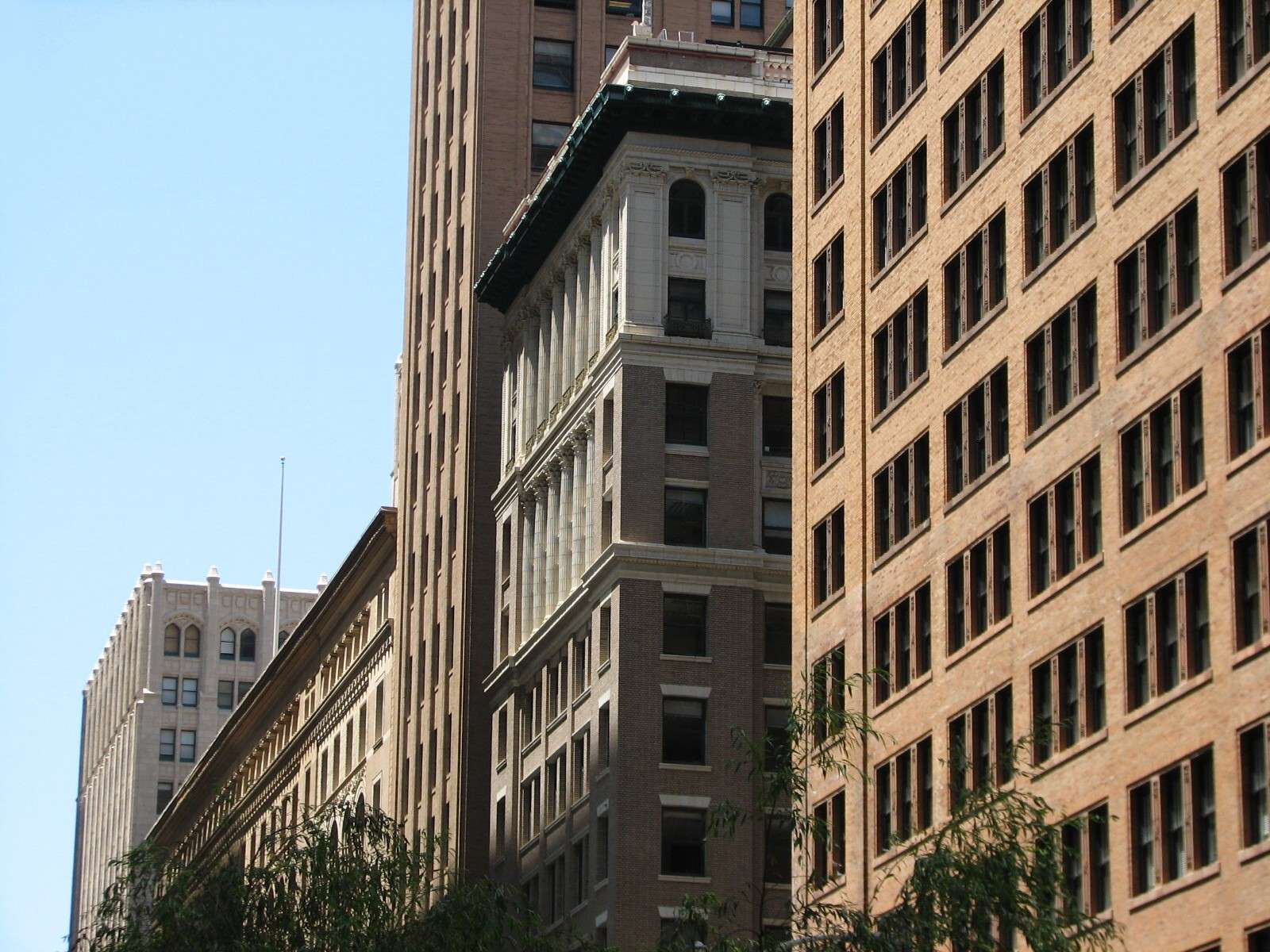
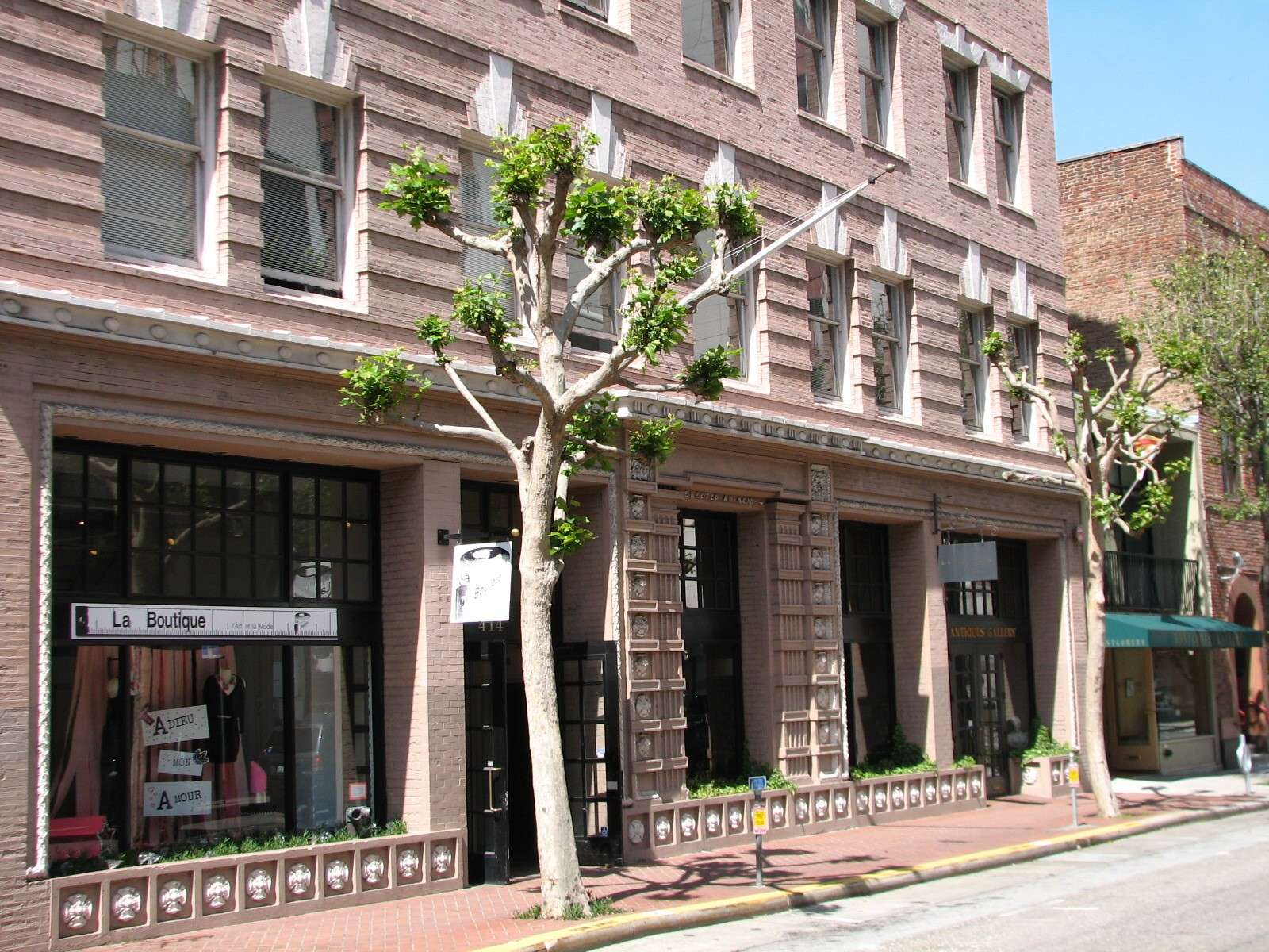
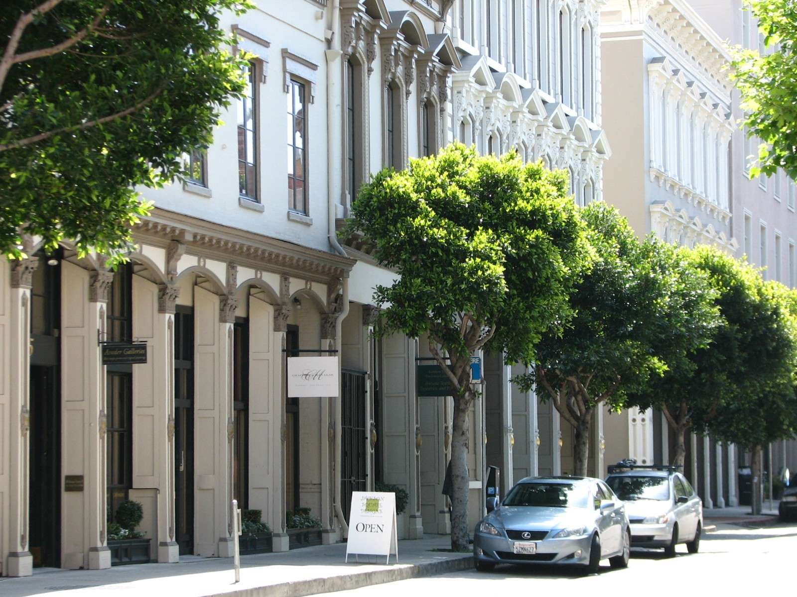
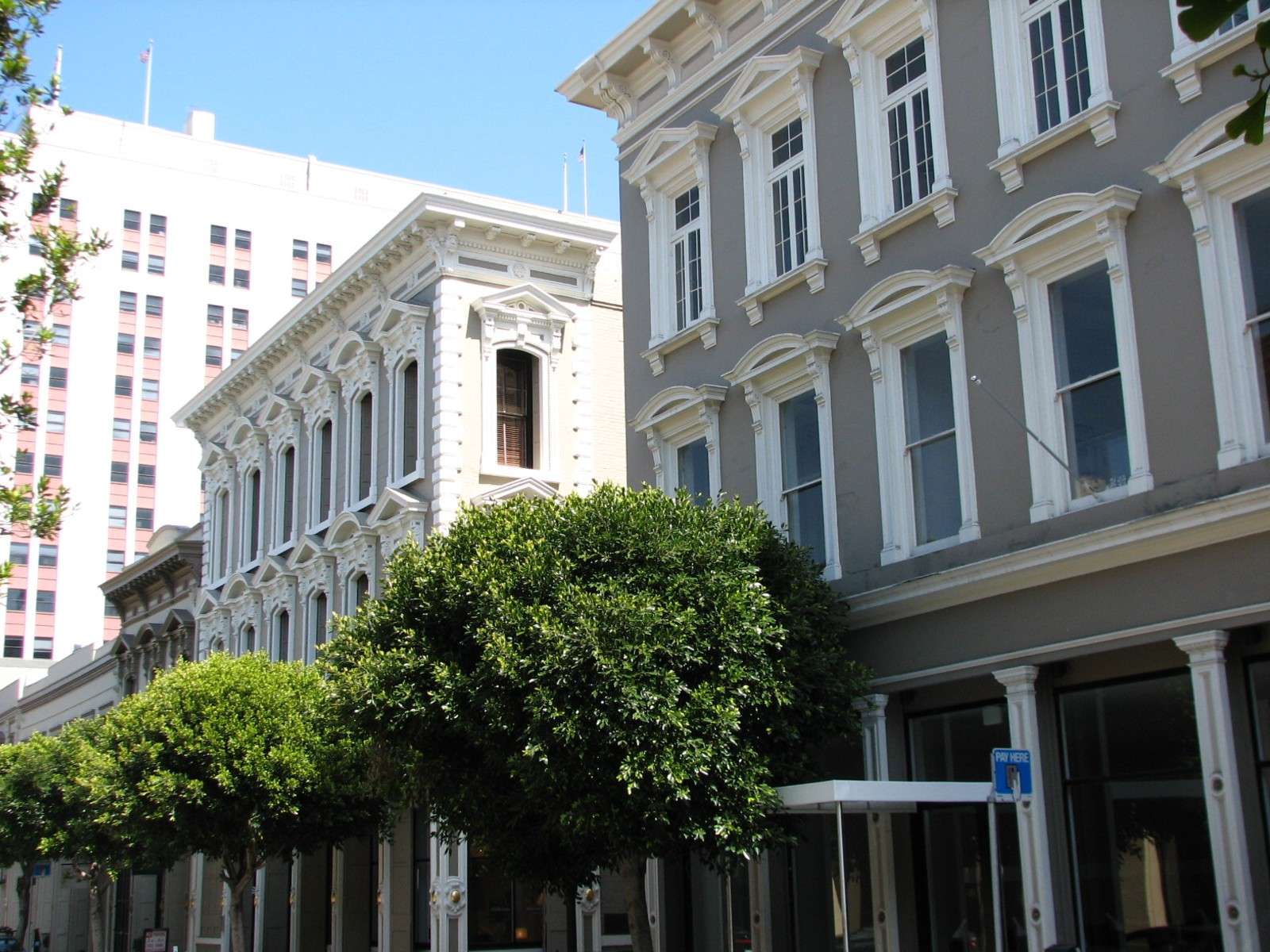
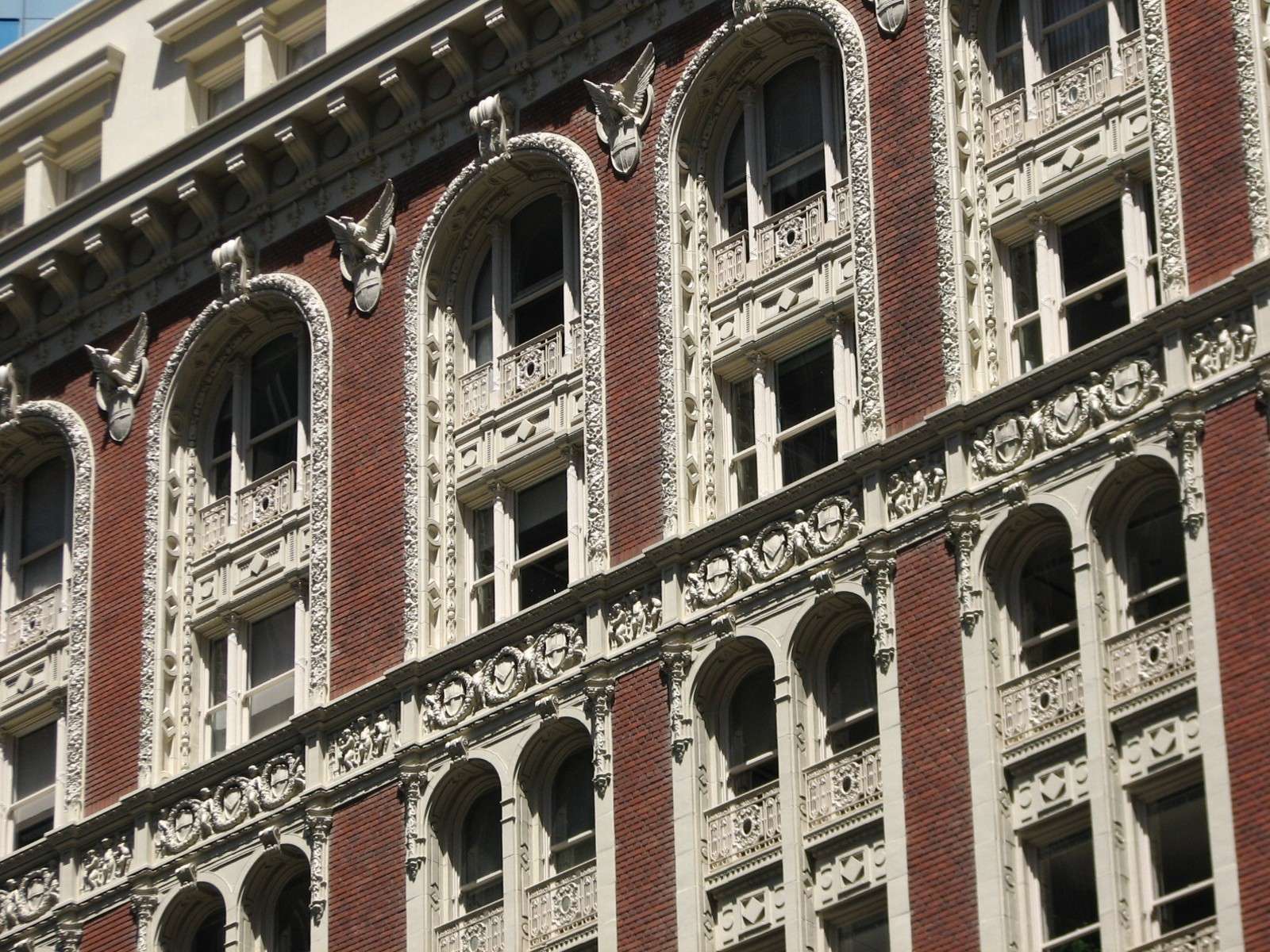
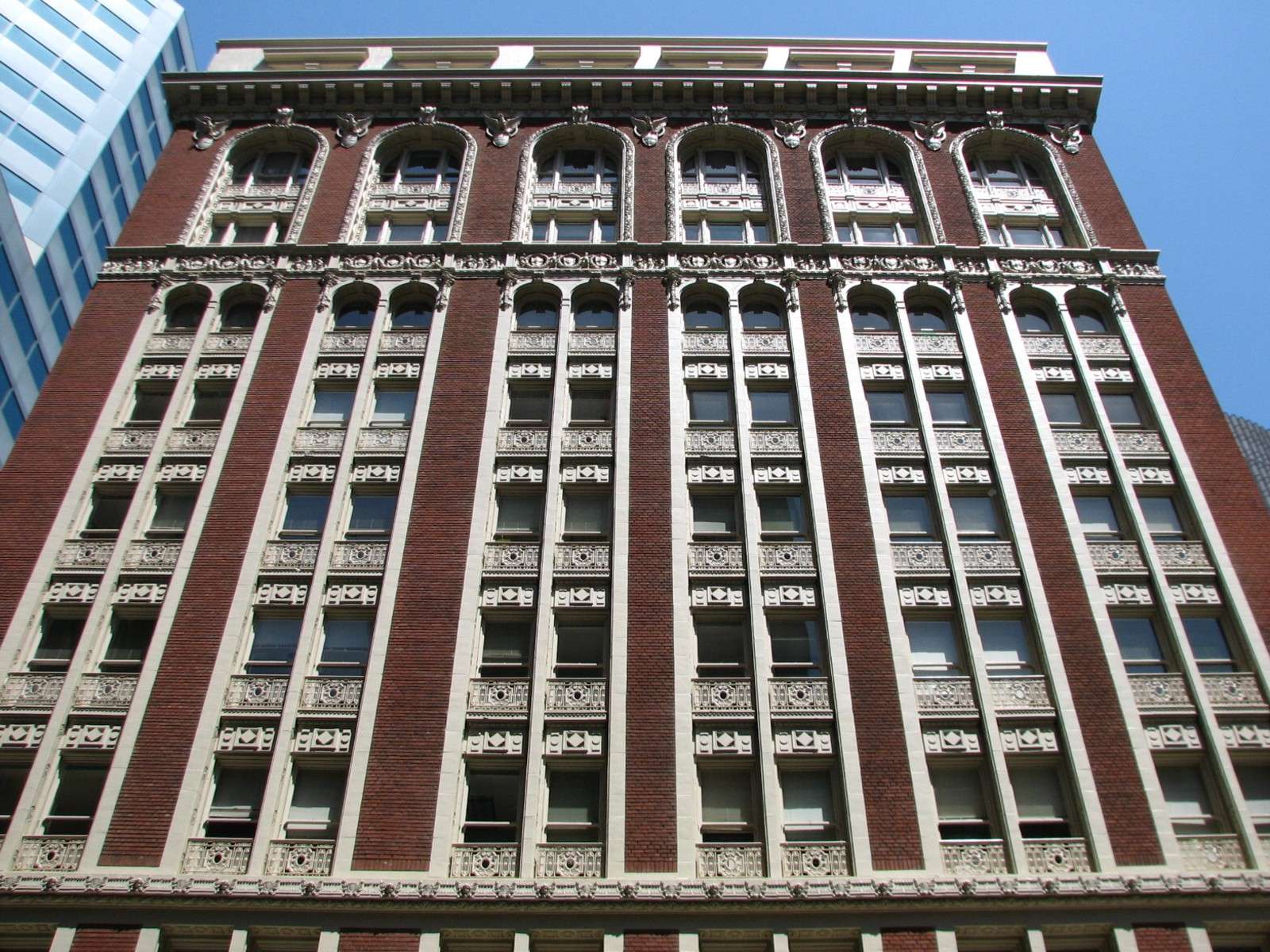
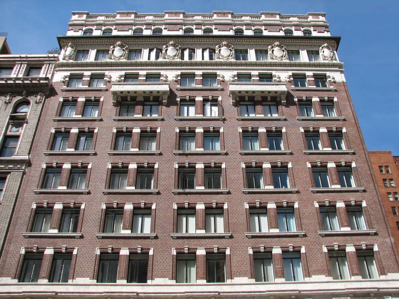
Historic Rows:
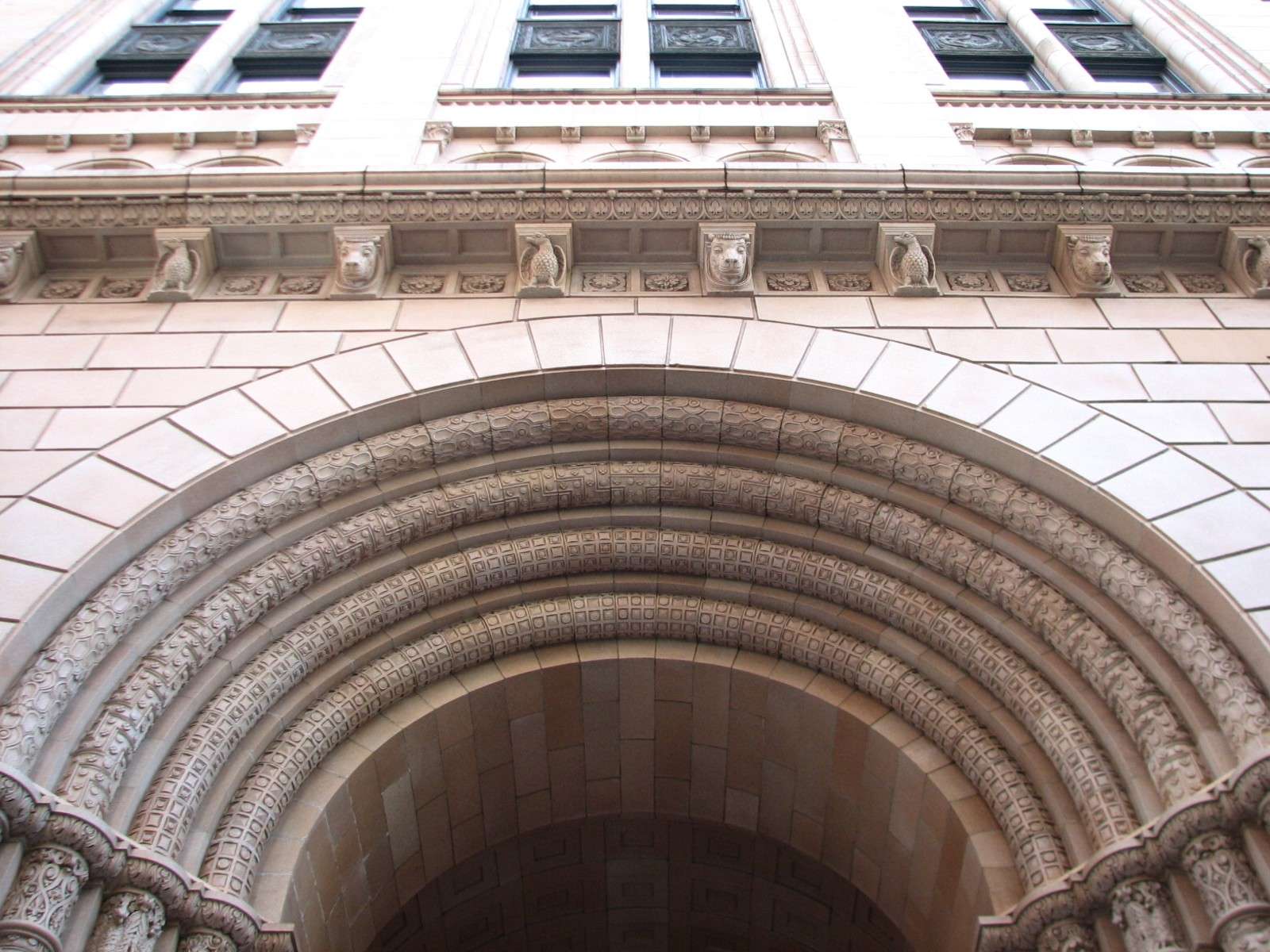
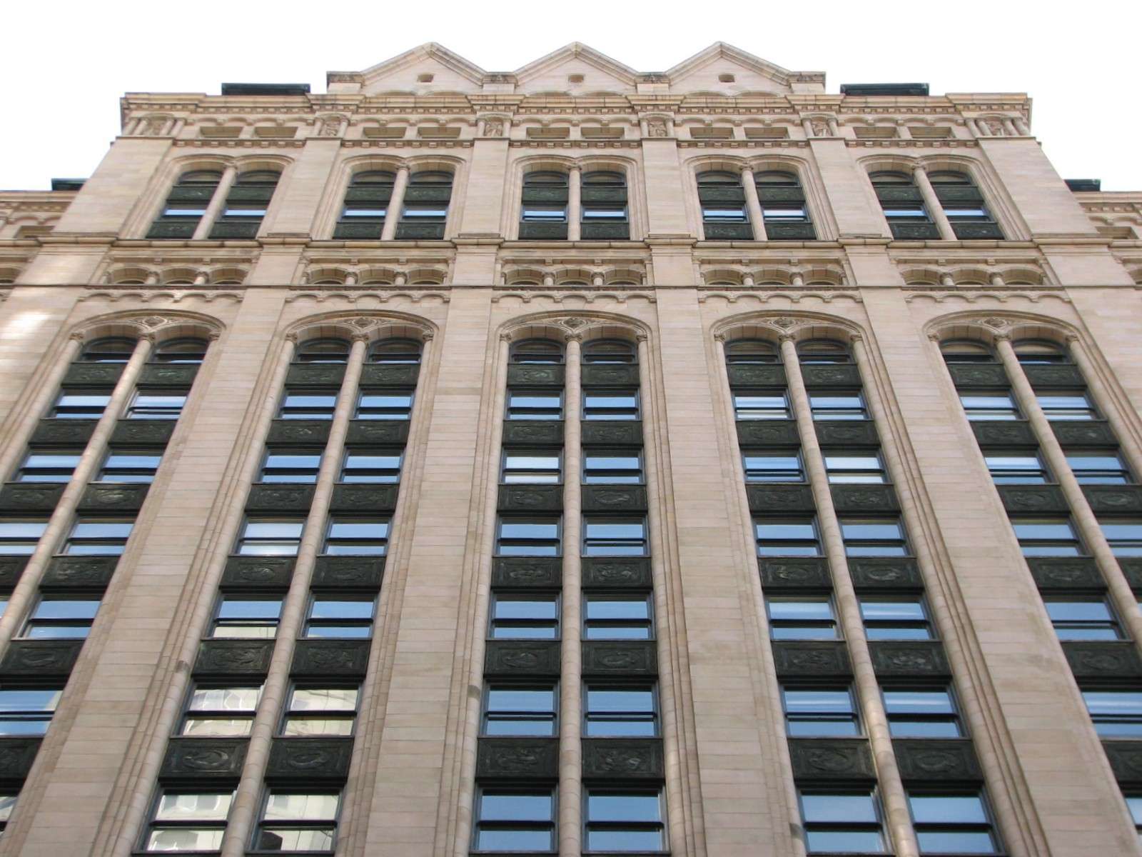
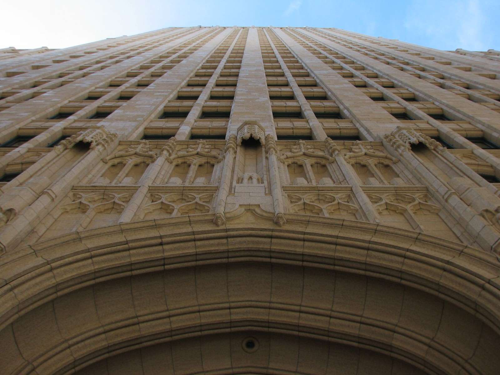
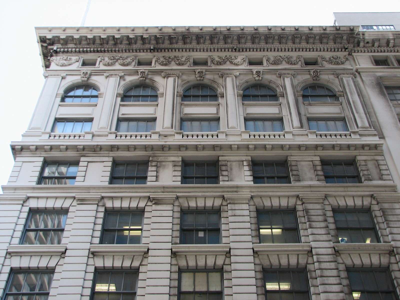
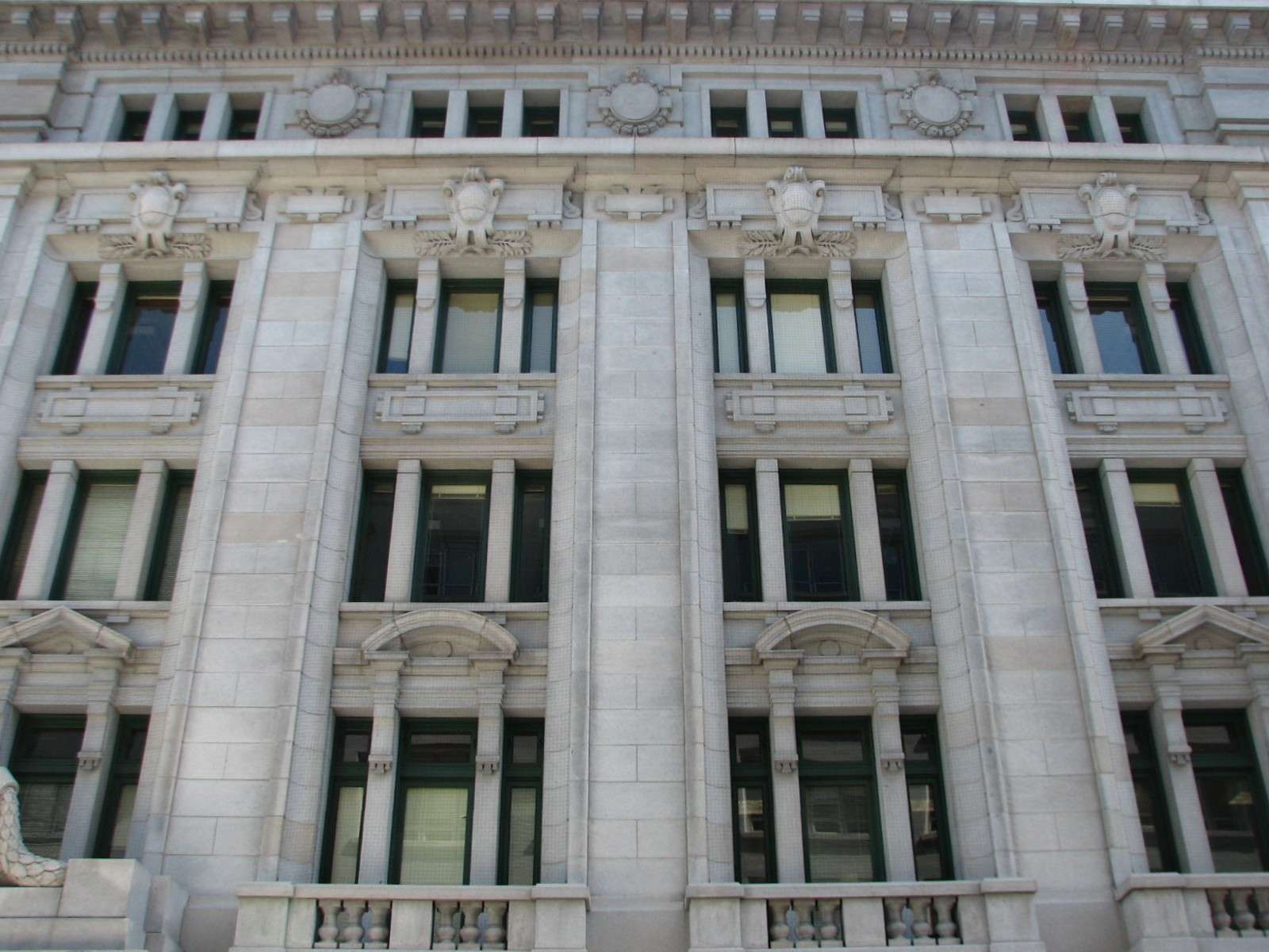
Some of the streetscapes feature concentrations of adjacent early 20th century buildings.
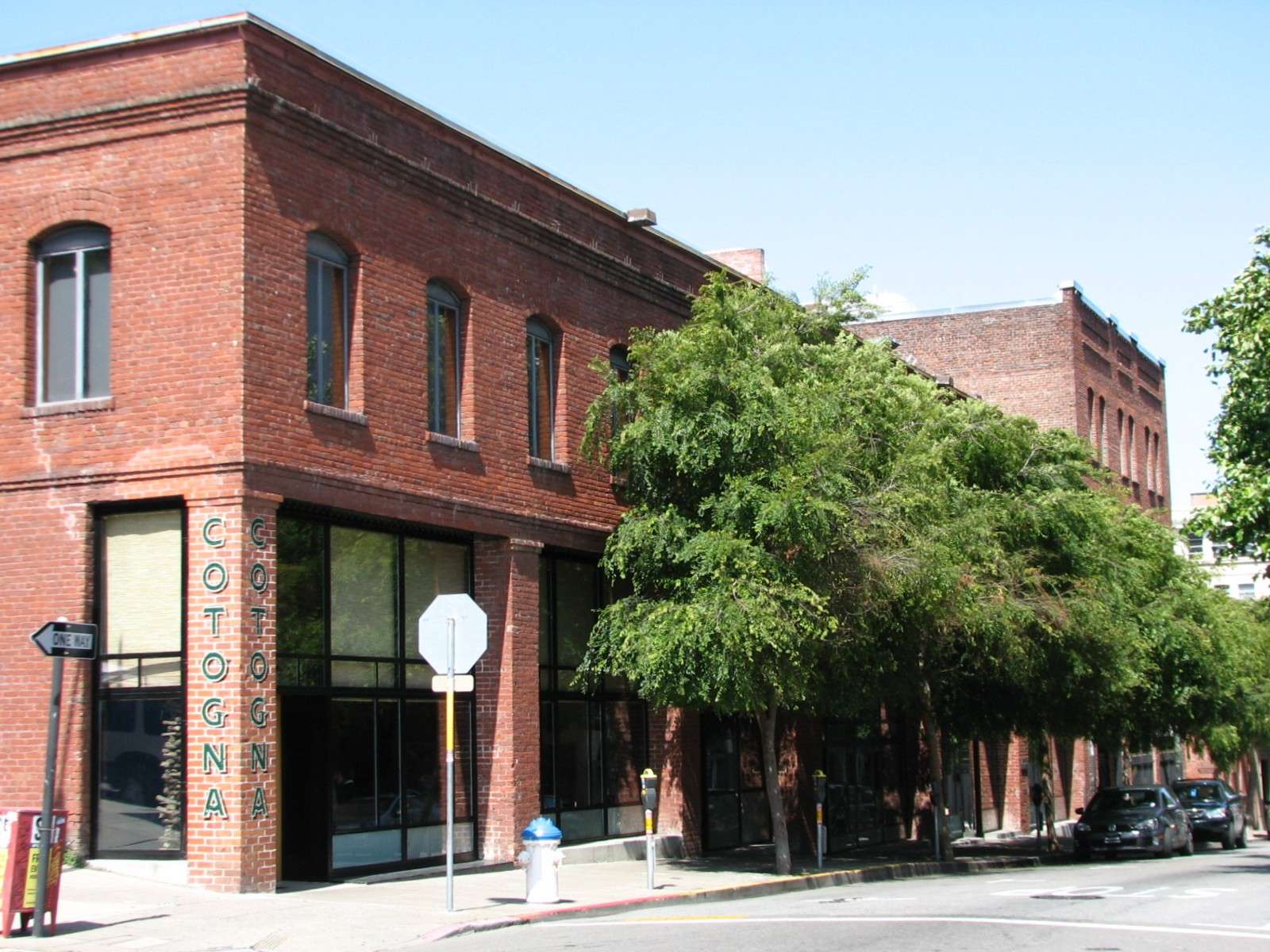
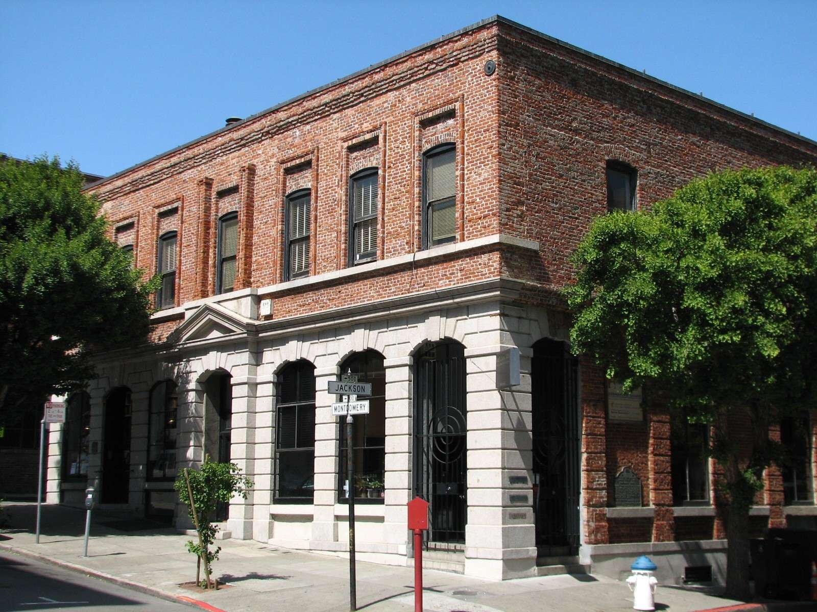
Jackson Square:
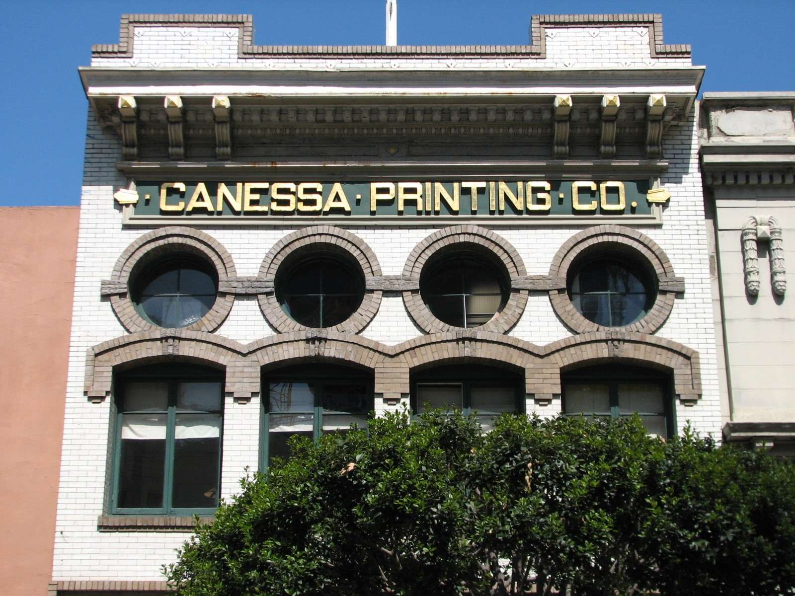
On the Northern border of the district is this small area of about 6 blocks that contains the highest concentration of pre-1906 buildings in the area. Many of these survivors date back to the Gold Rush era of the mid-19th century and were nearly 50 years old when the Great Earthquake and Fire occured. Most are two or three stories tall, and are now predominantly used for interior design galleries and firms as well as some restaurants.
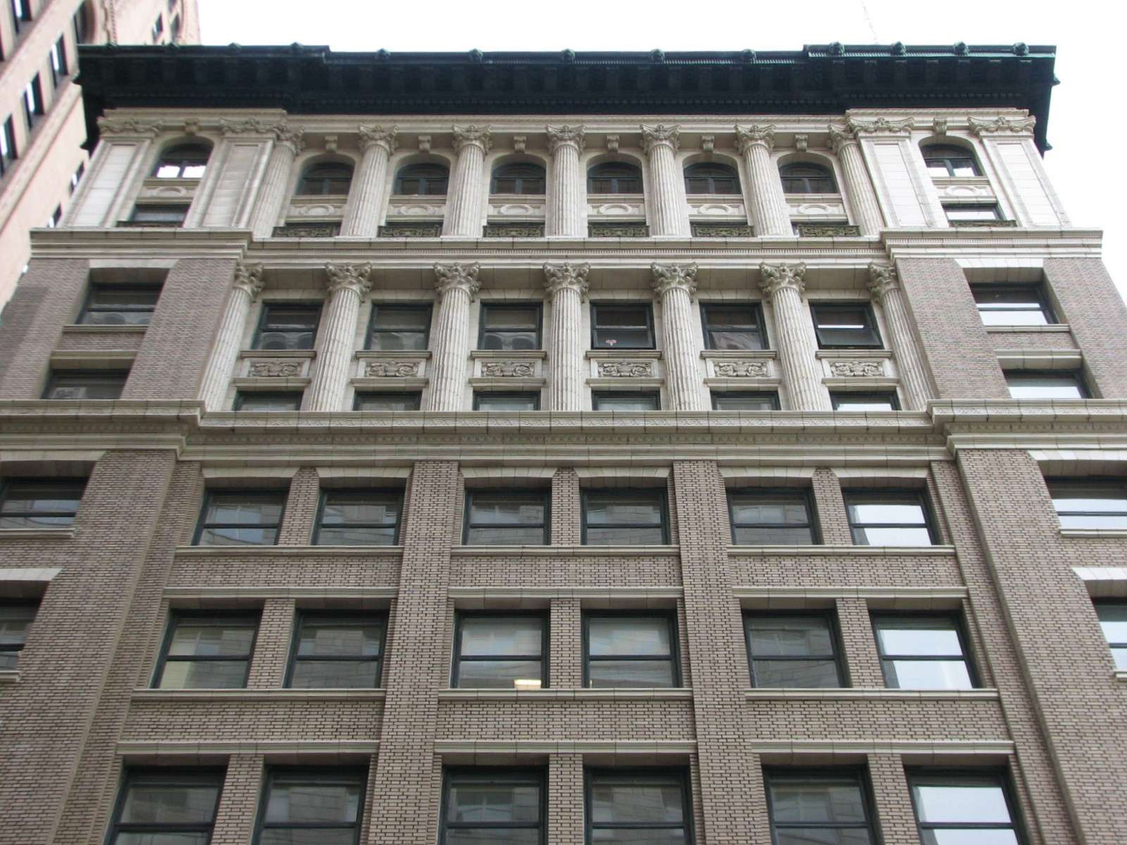
110 Sutter, 1902-13:
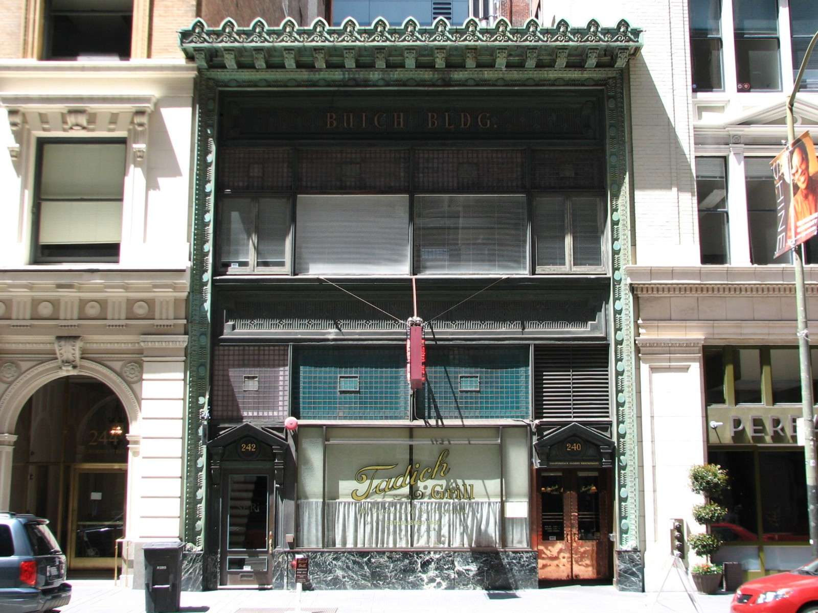
Buich Building, 1909:
Alvinza Hayward Building AKA Kohl Building, 1901:
Standard Oil Building, 1912:
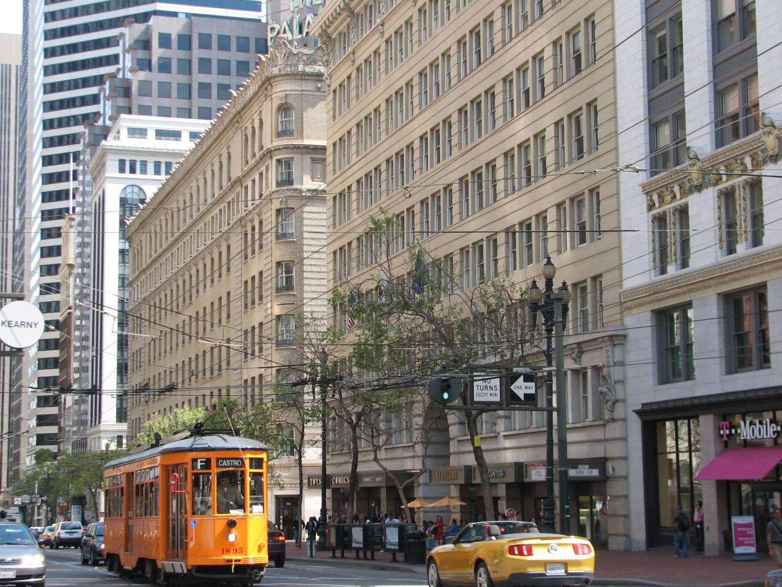
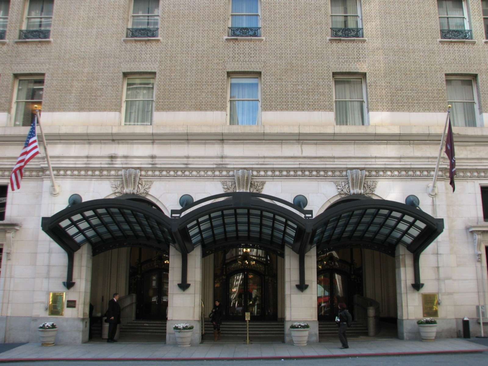
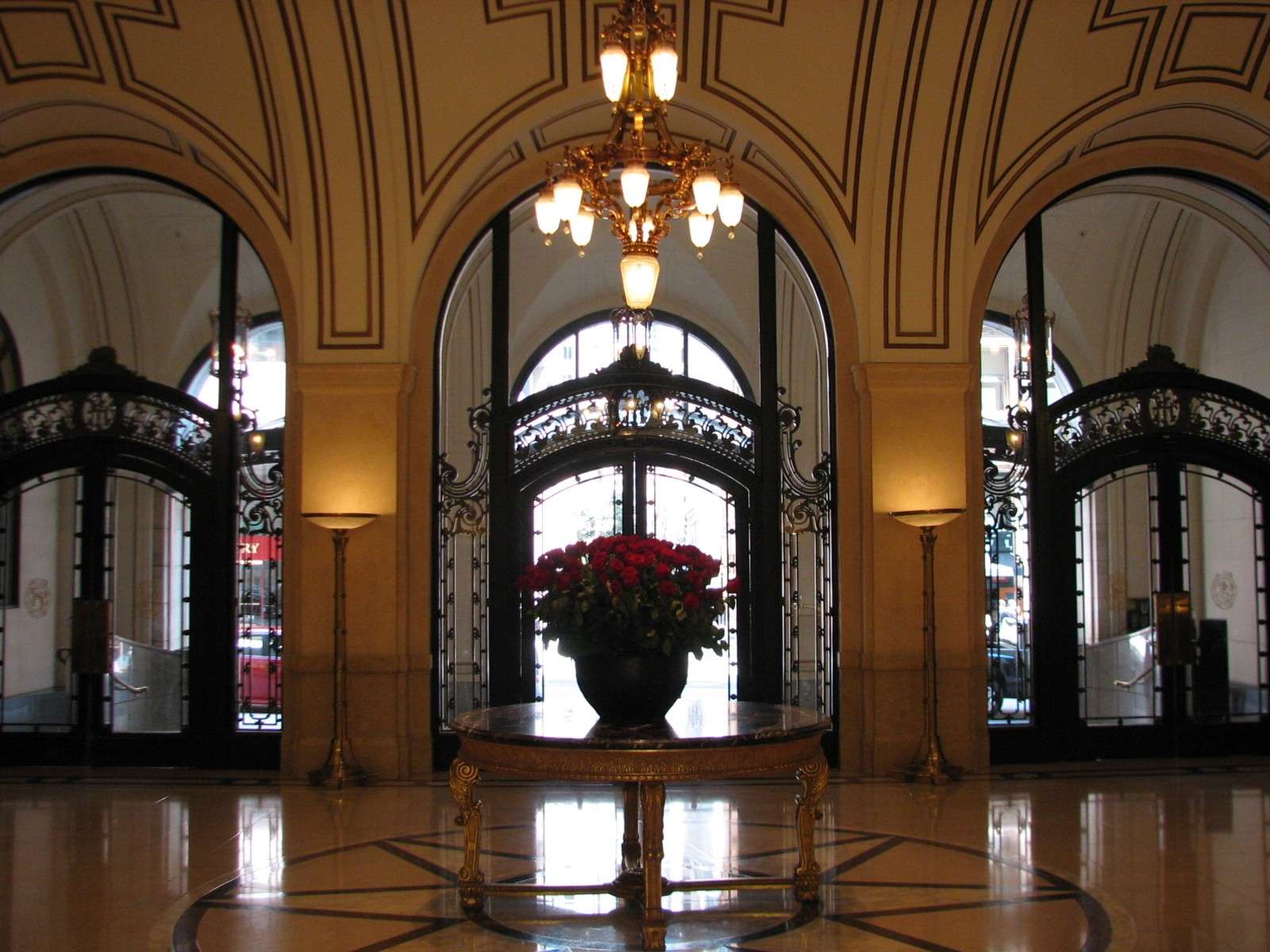
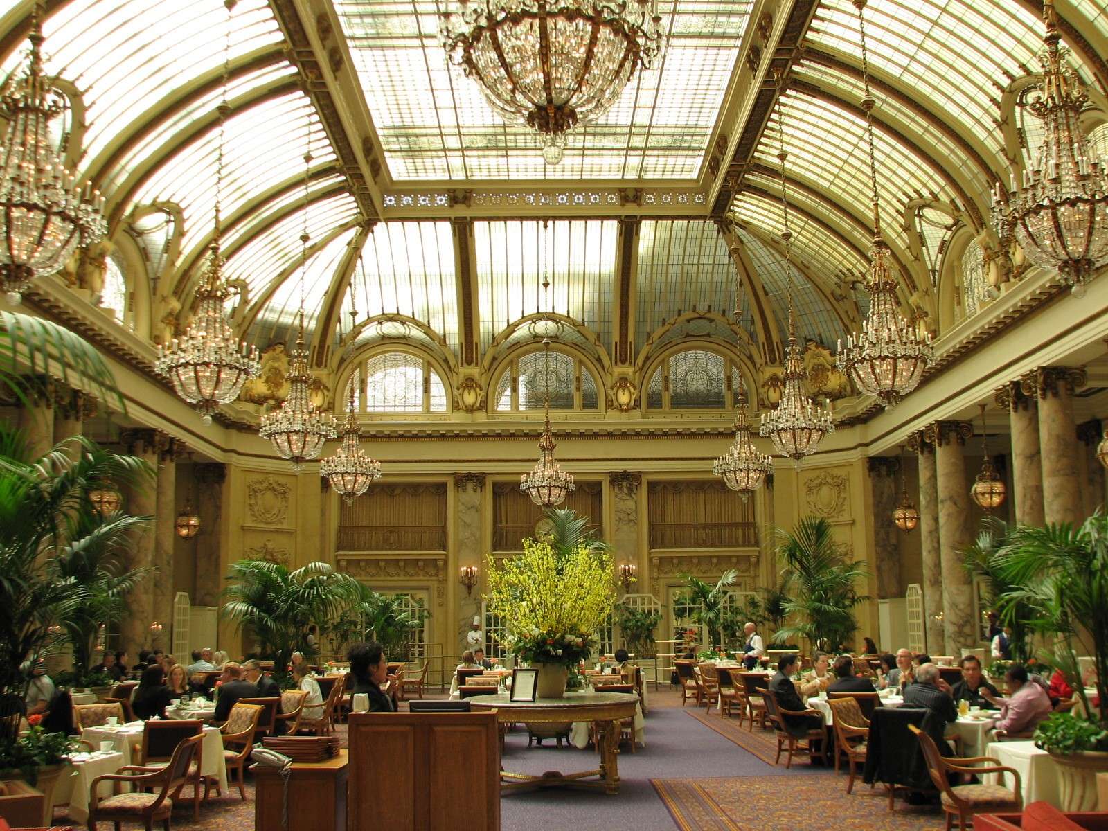
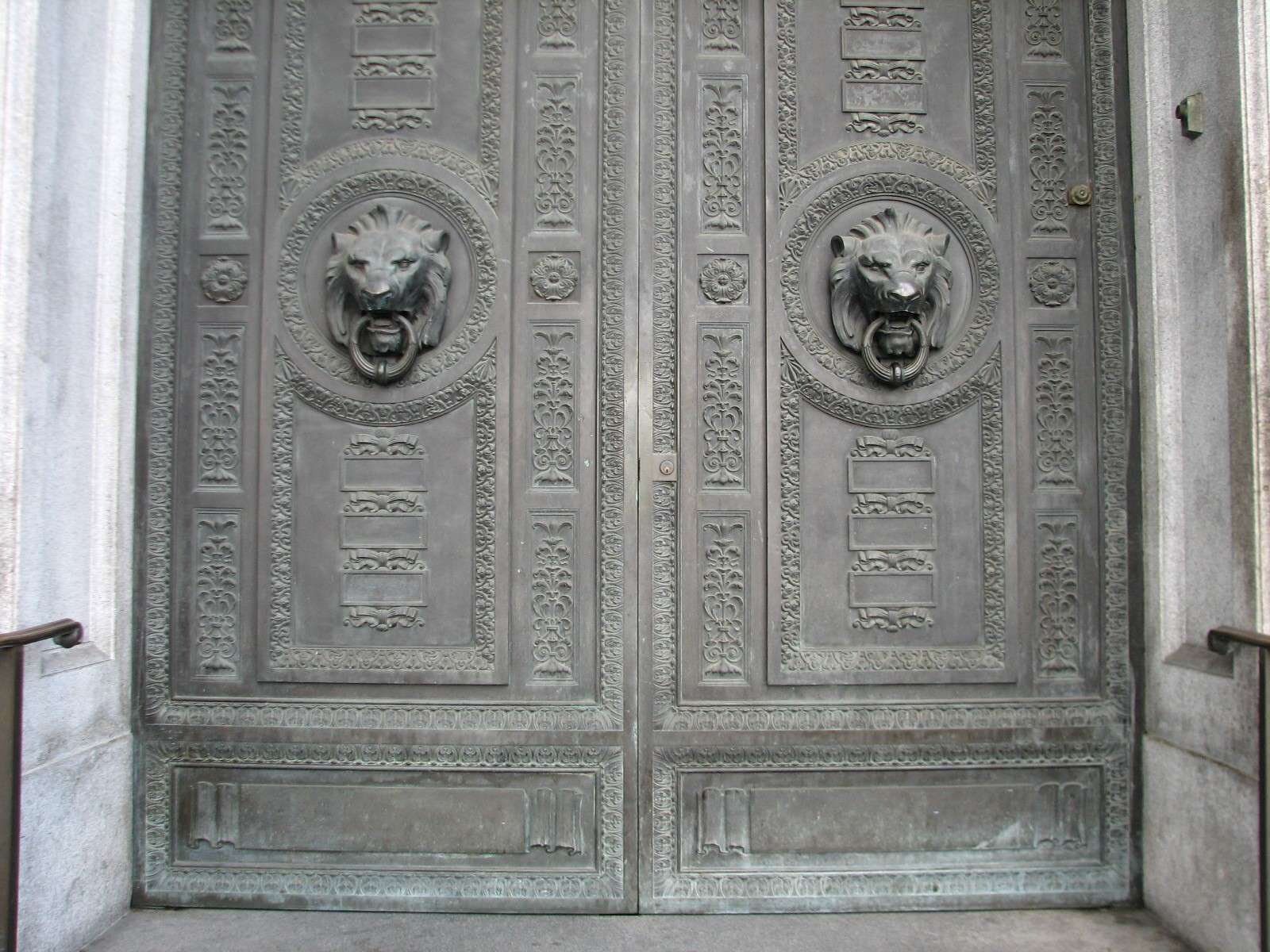
The Palace Hotel, 1909:

260 Montgomery, 1910:
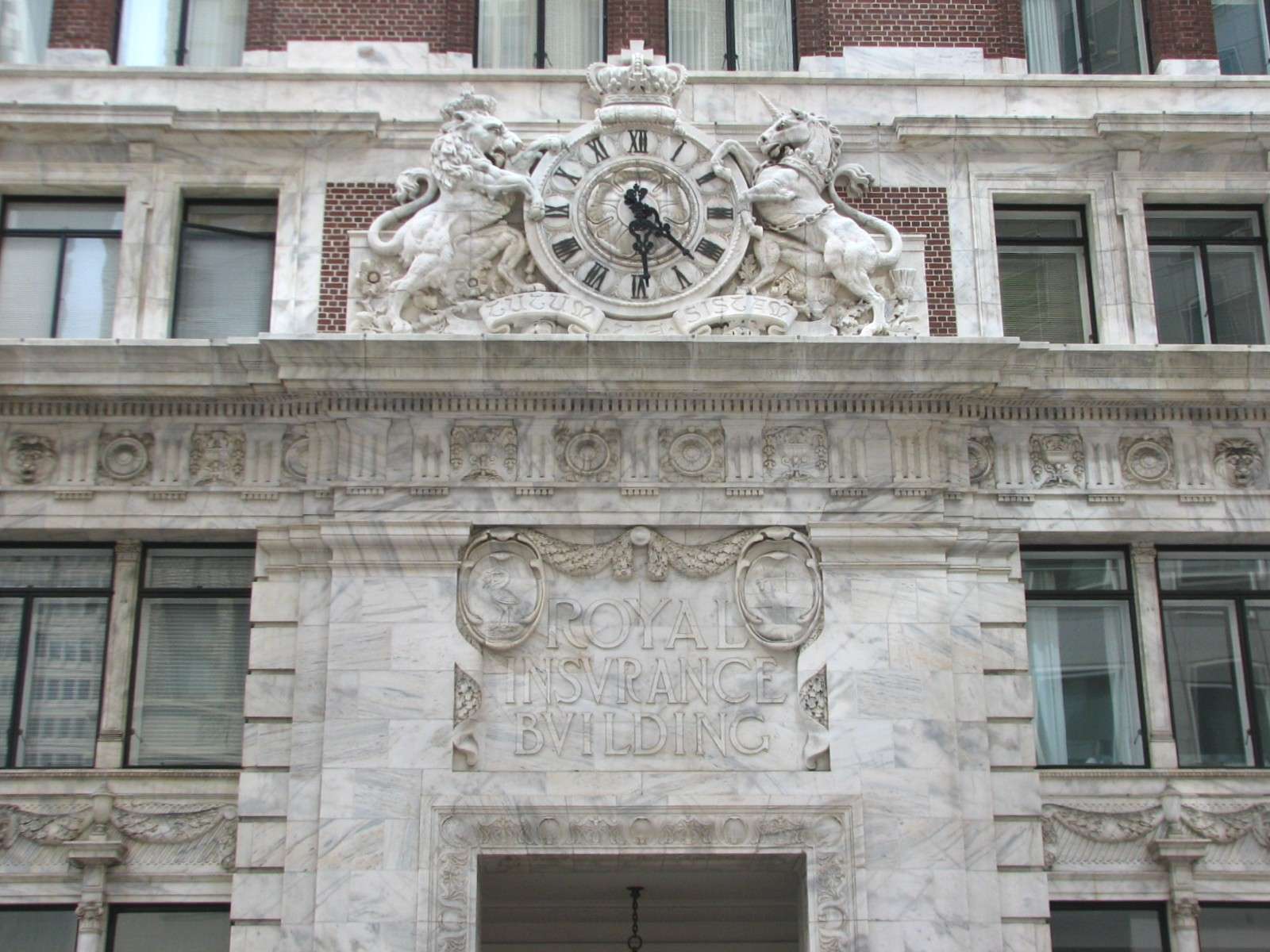
Royal Insurance Building, 1907:
Commercial Union Assurance Building, 1921:
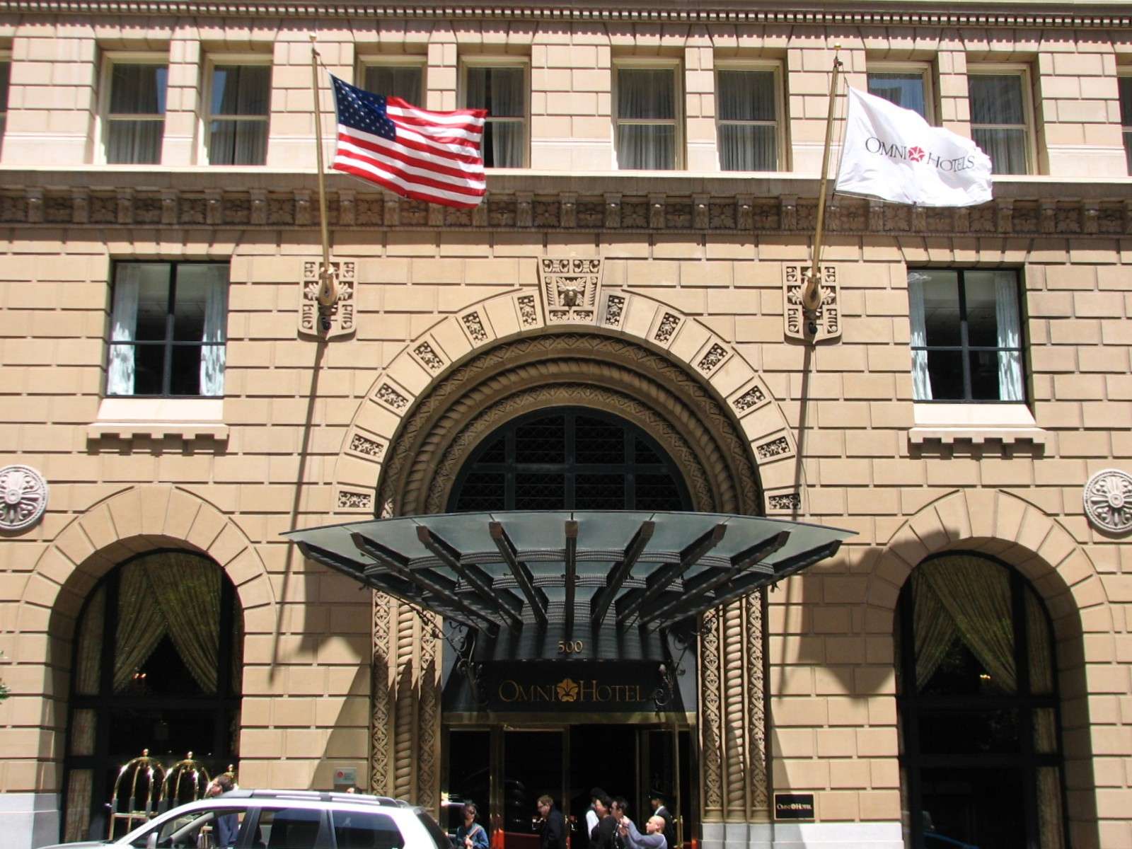
Omni San Francisco Hotel, 1926 (originally a bank):
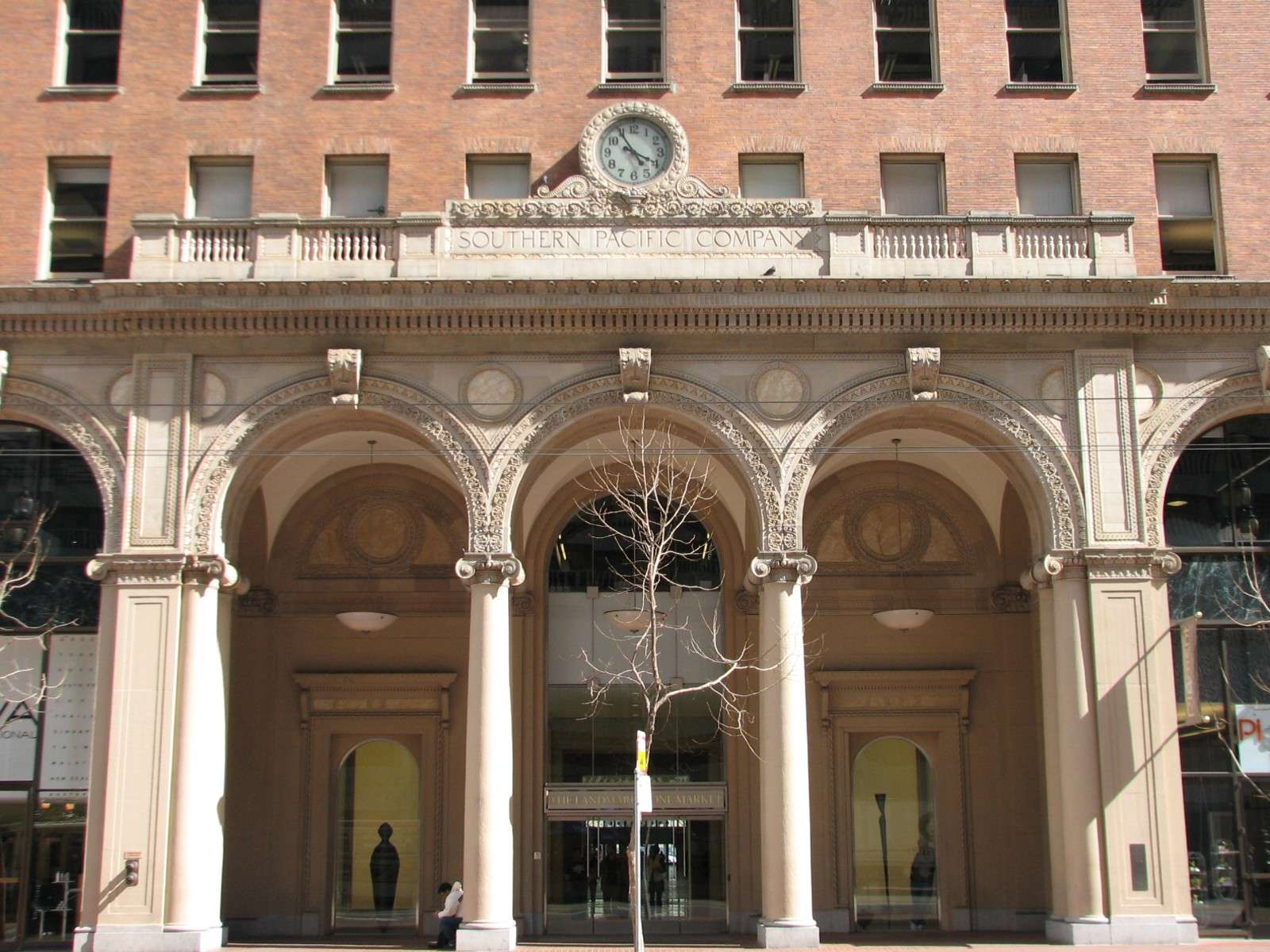
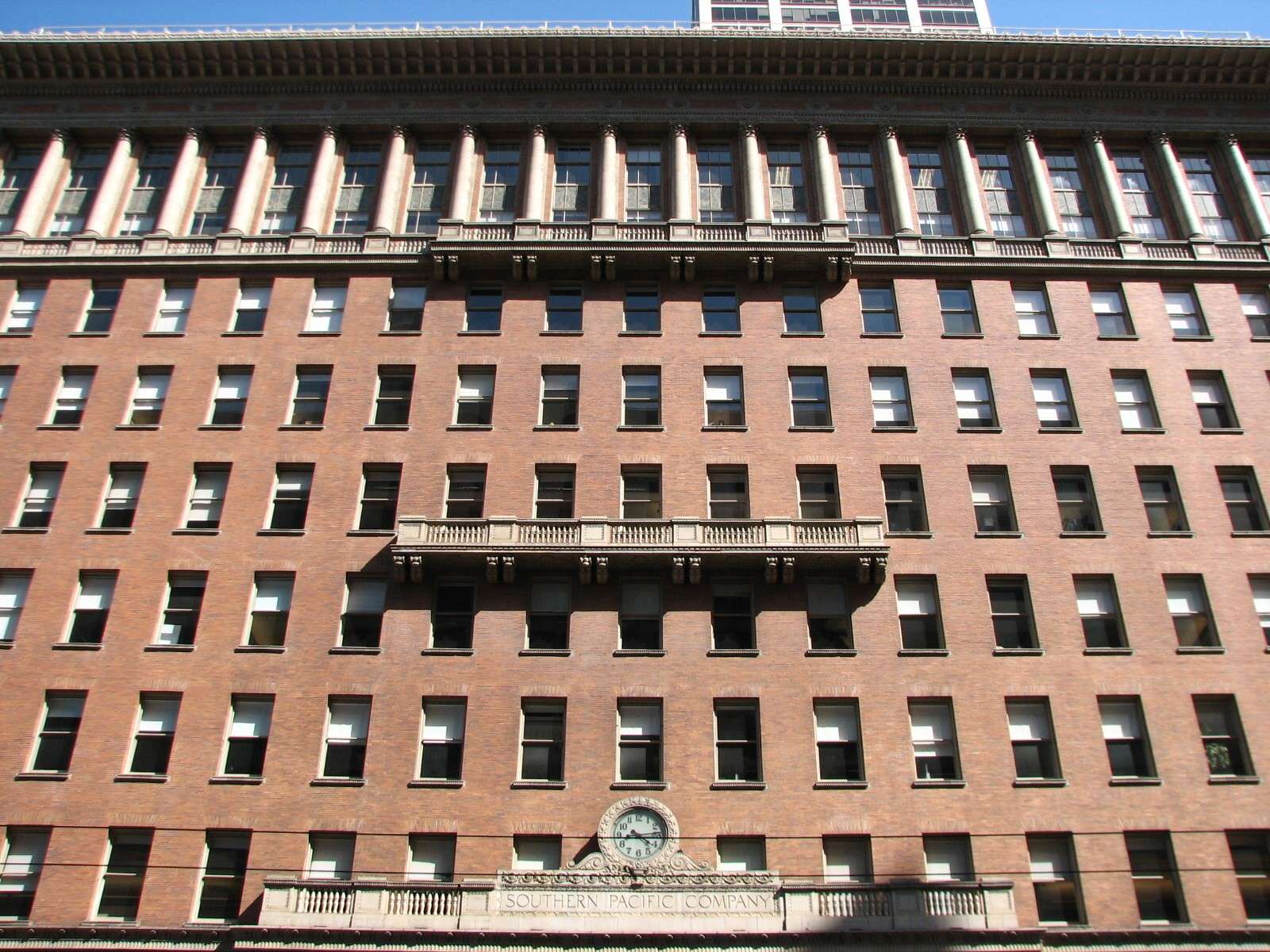
Southern Pacific Building, 1916:
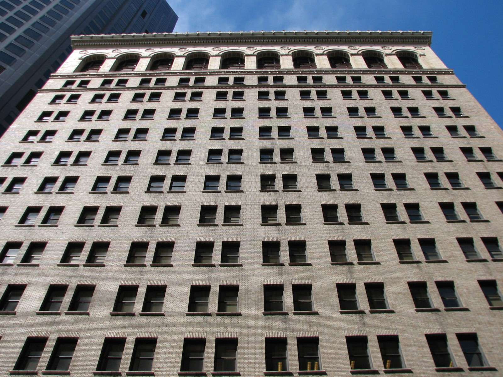
Adam Grant Building, 1908-26:

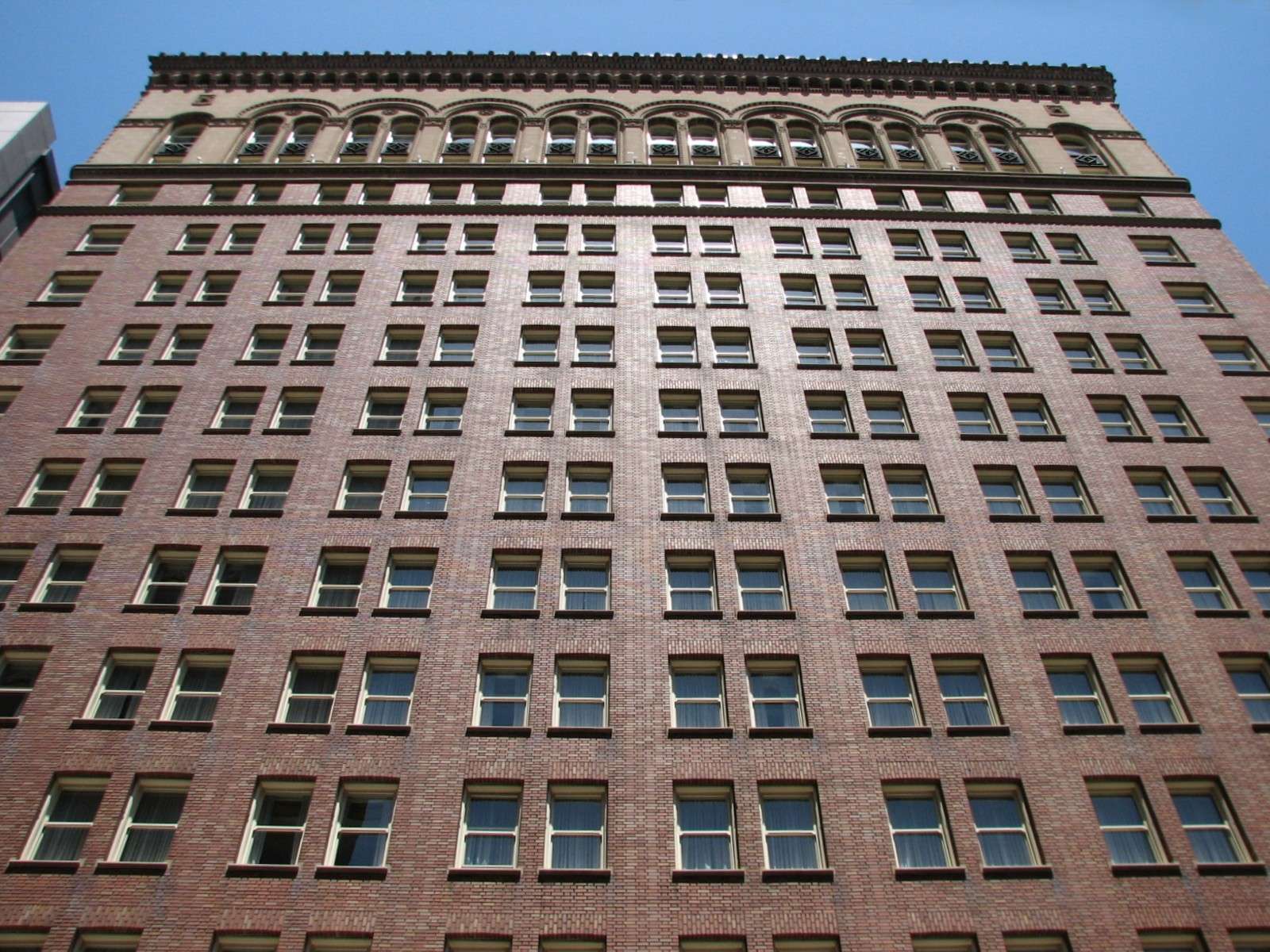
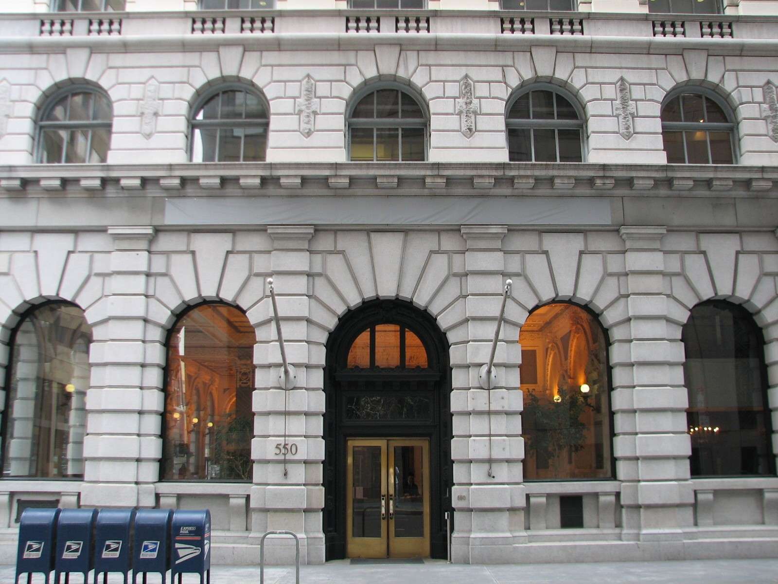
Postal Telegraph Building, 1908:
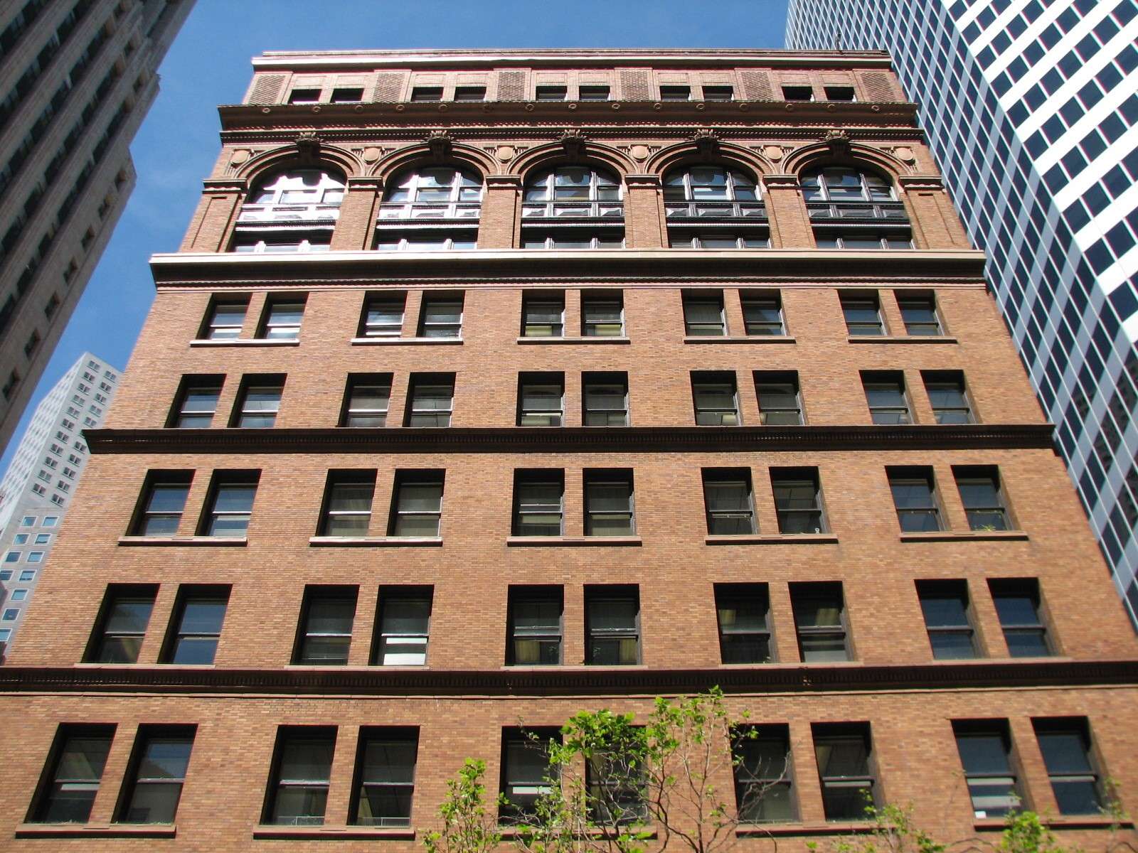
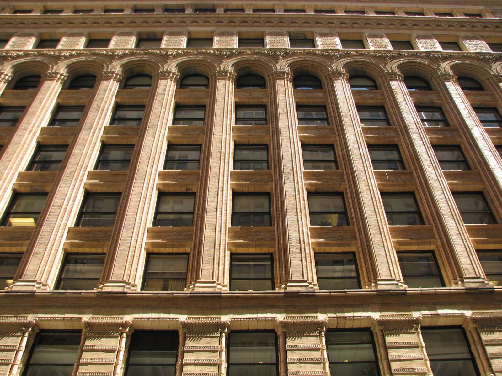
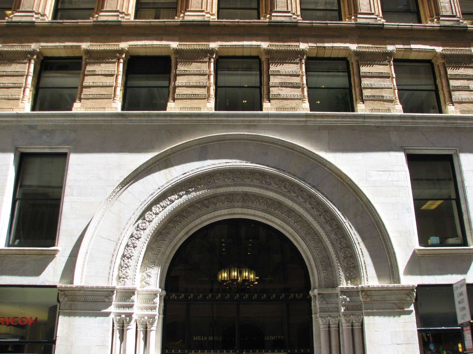
Mills Building, 1890-1918:
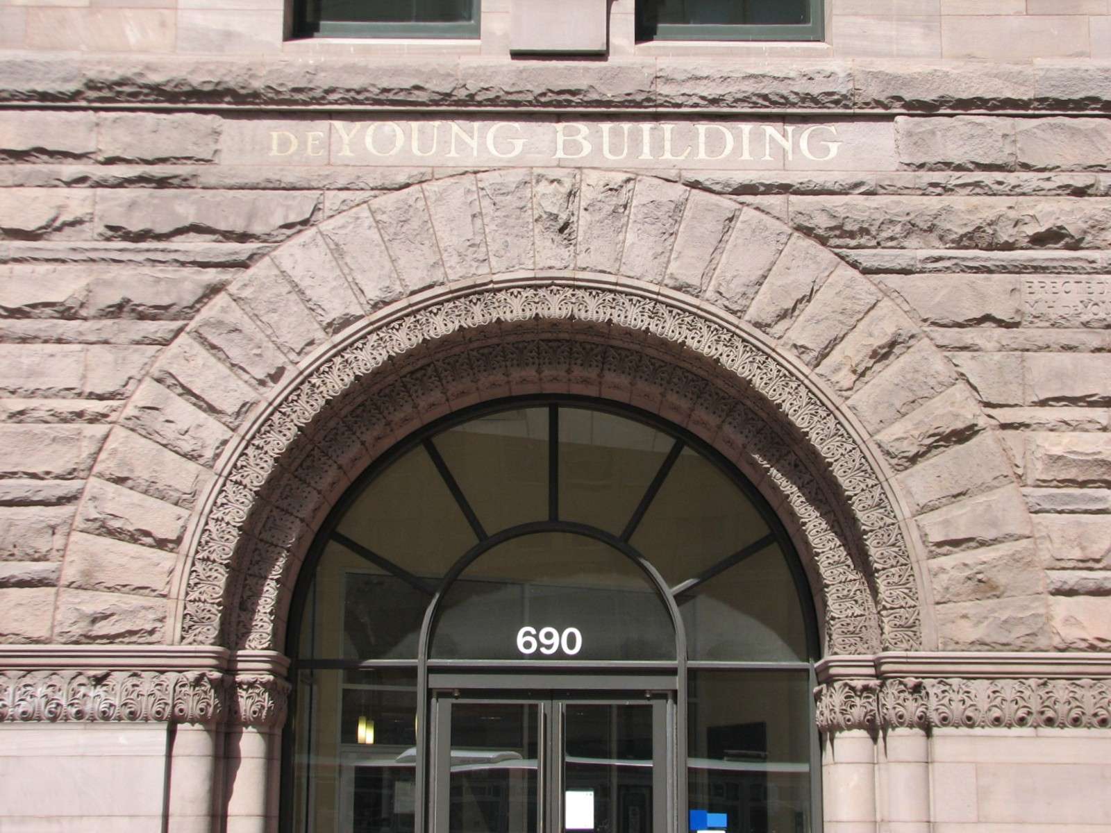
de Young Building, 1890 (lower facade is only part of the original that remains):
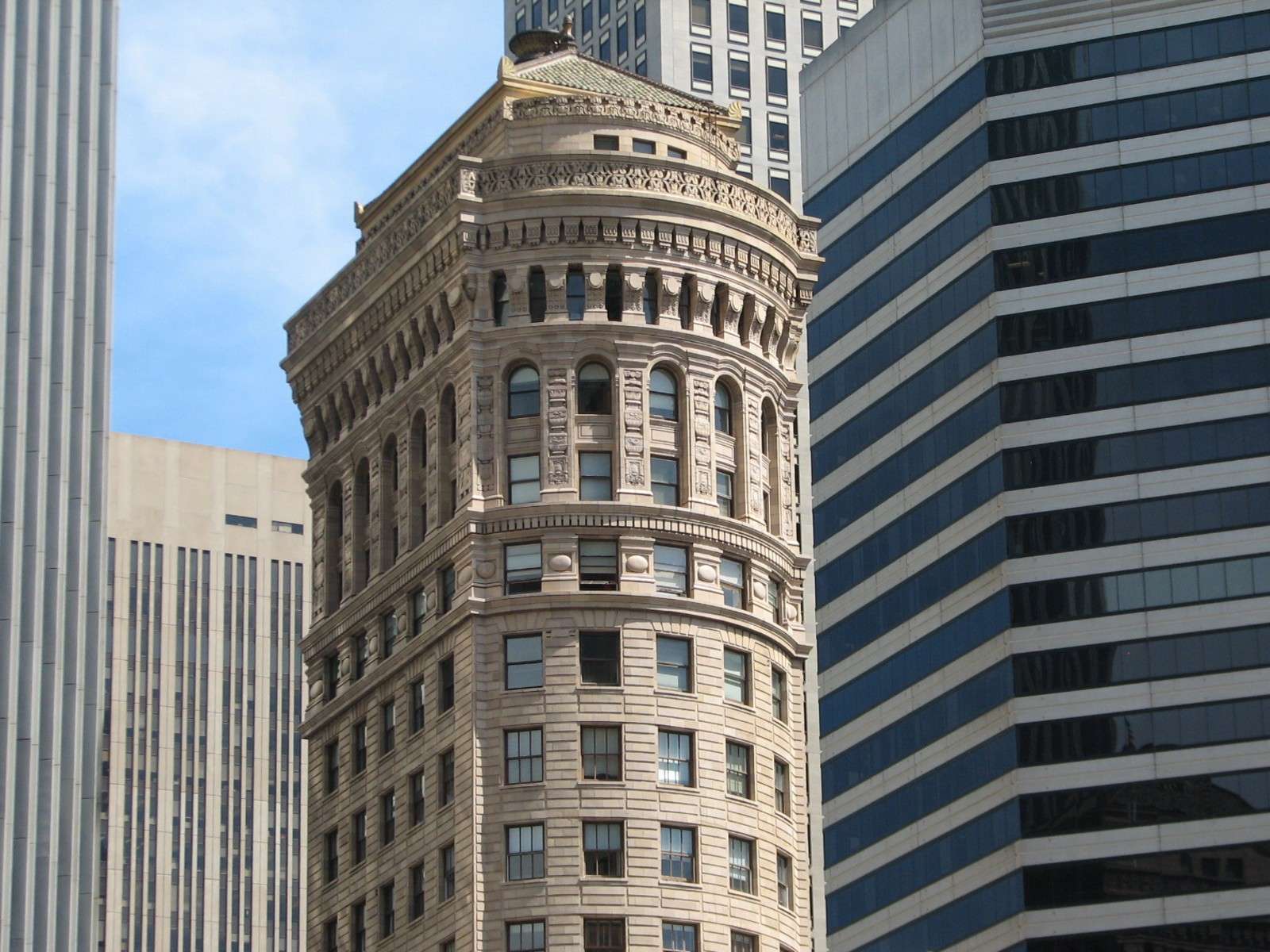
Hunter-Dulin Building, 1927:

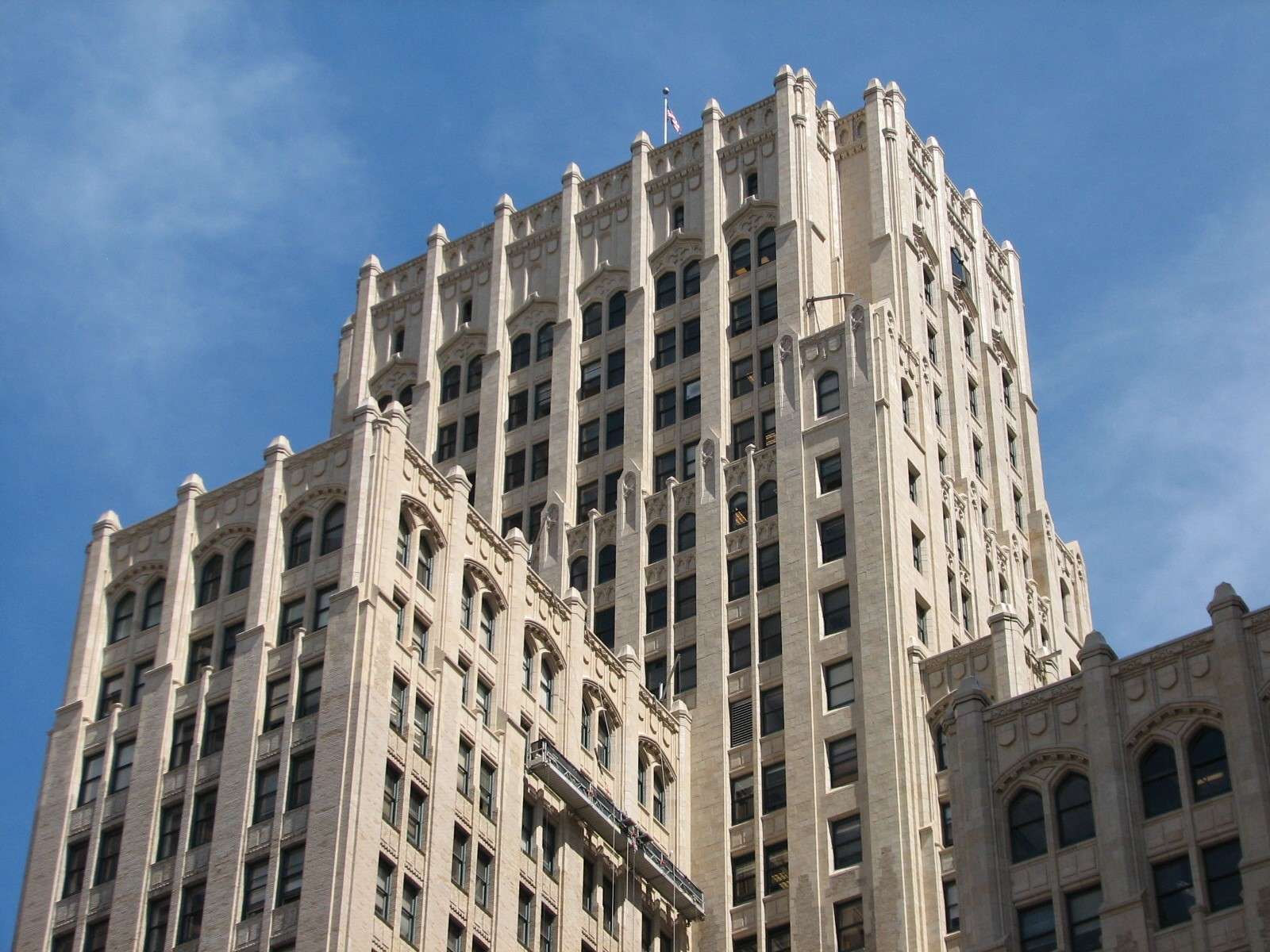
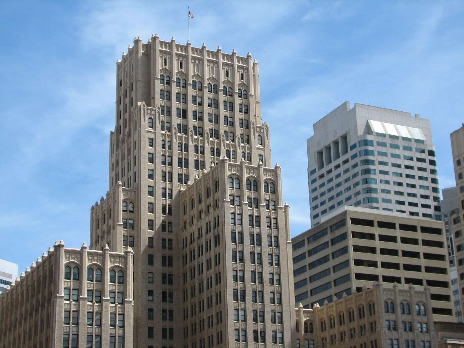
Russ Building, 1927:


Hobart Building, 1914:
Crocker Bank, 1908 (only the lower floor remains):


Bank of Italy, 1908:
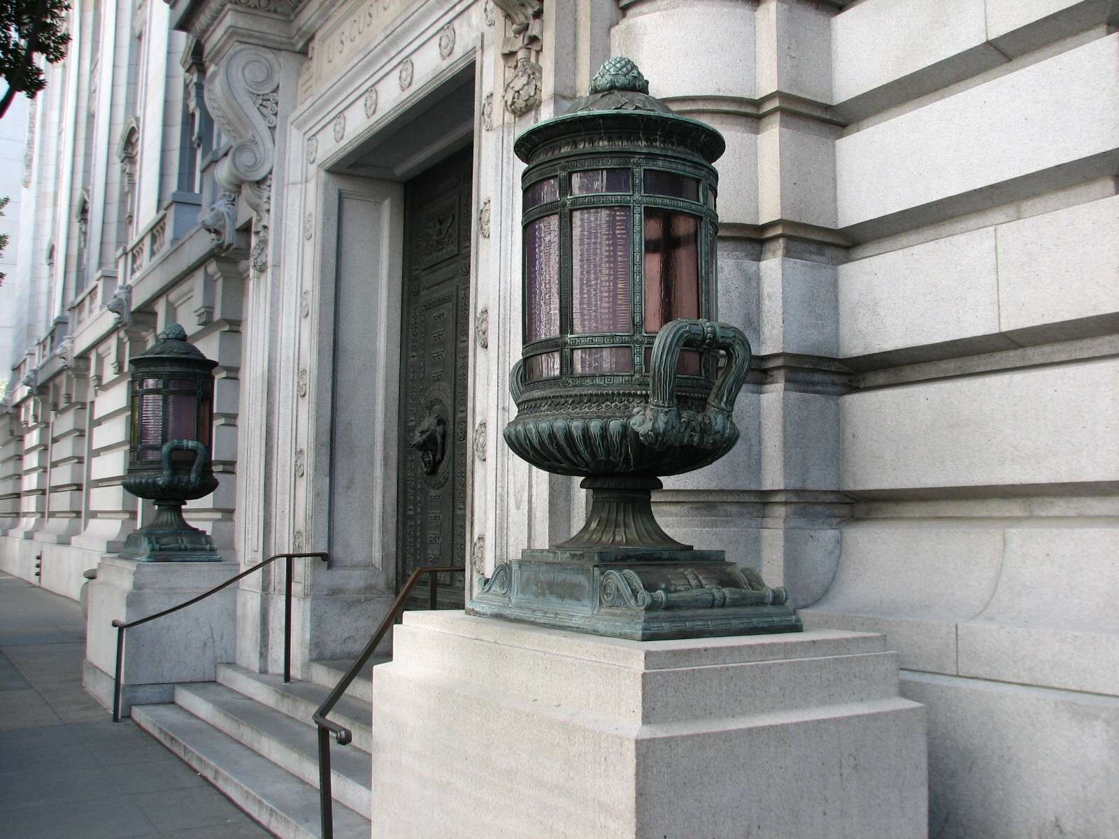
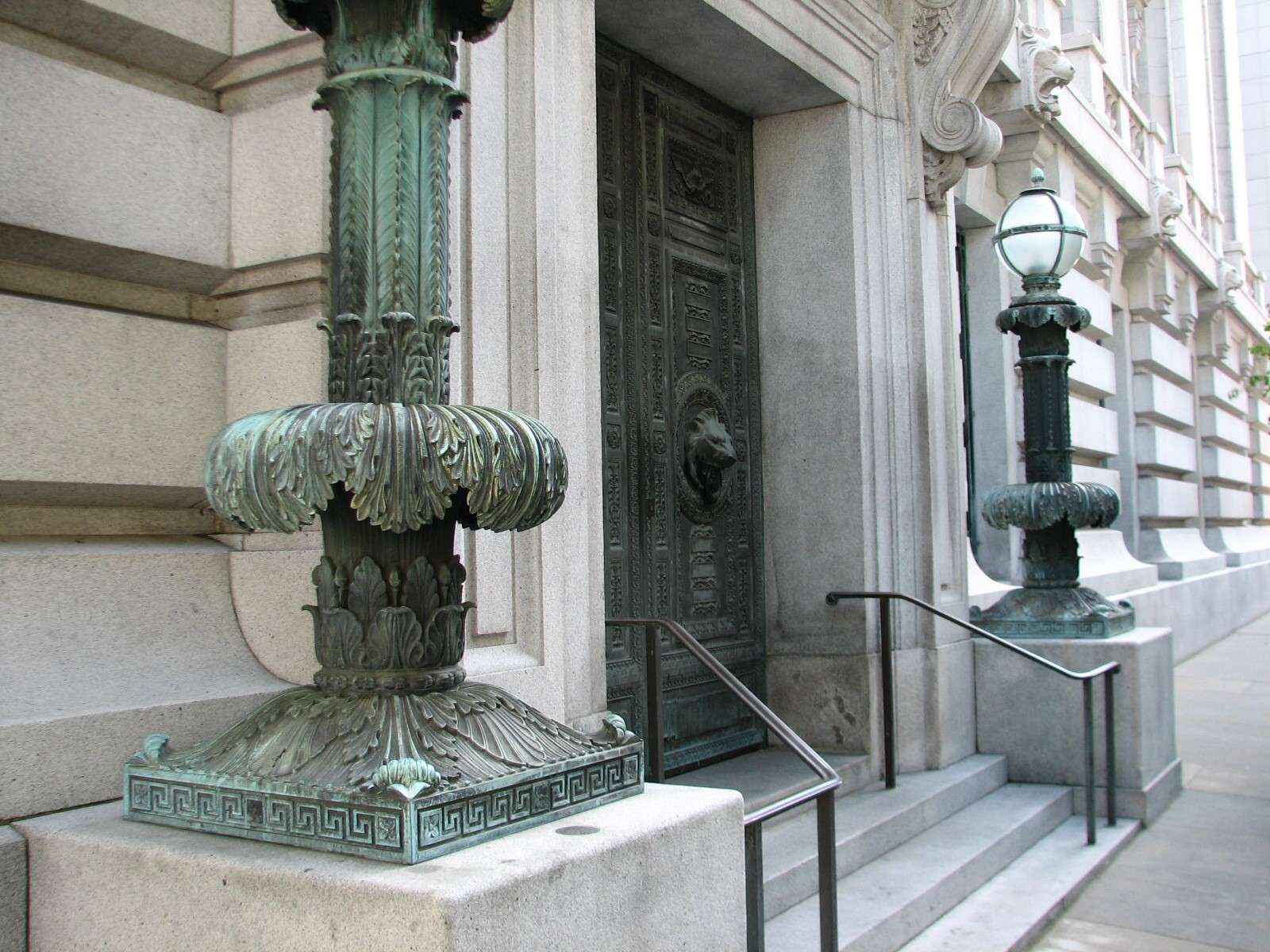
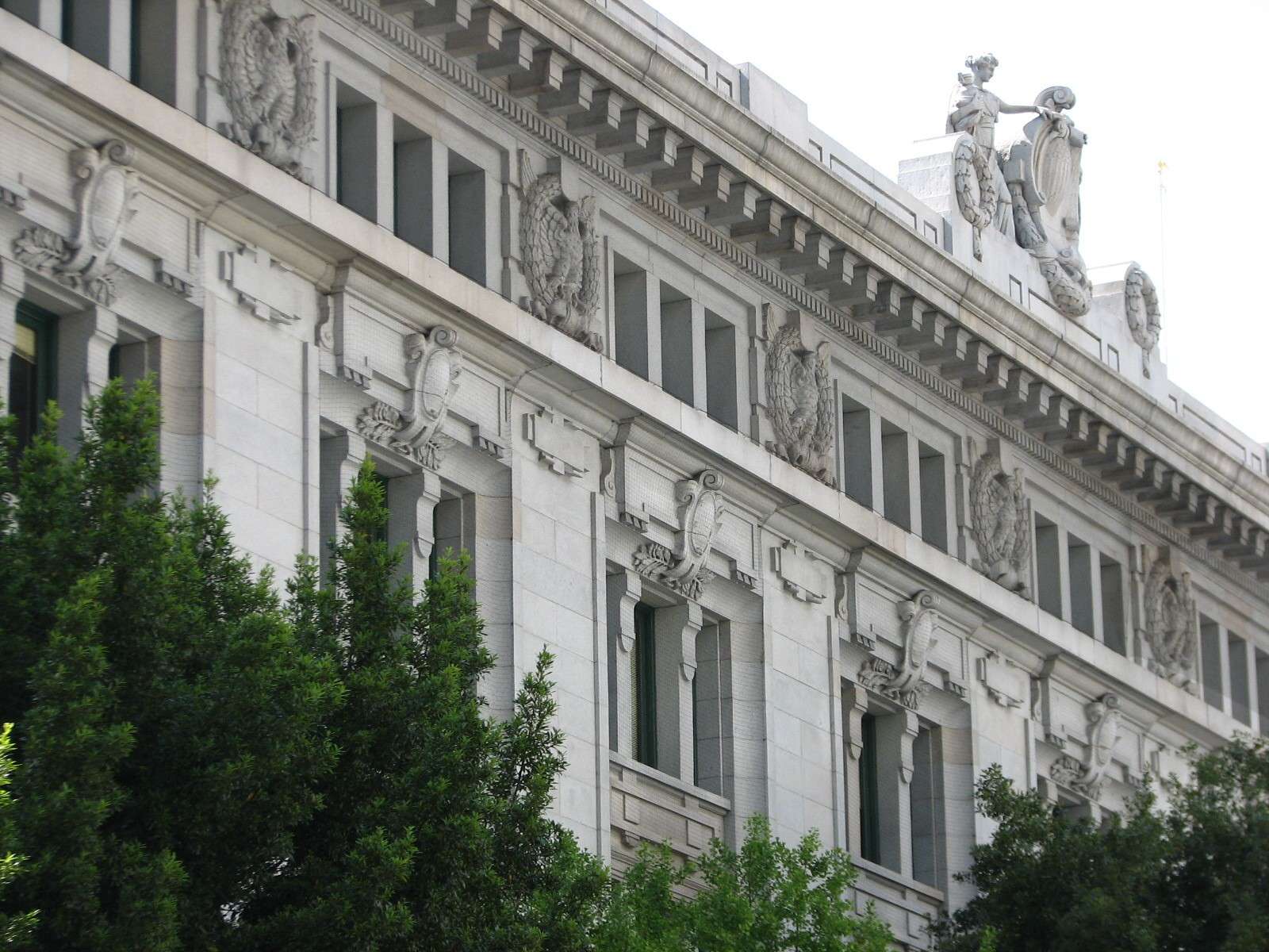
United States Custom House, 1911:
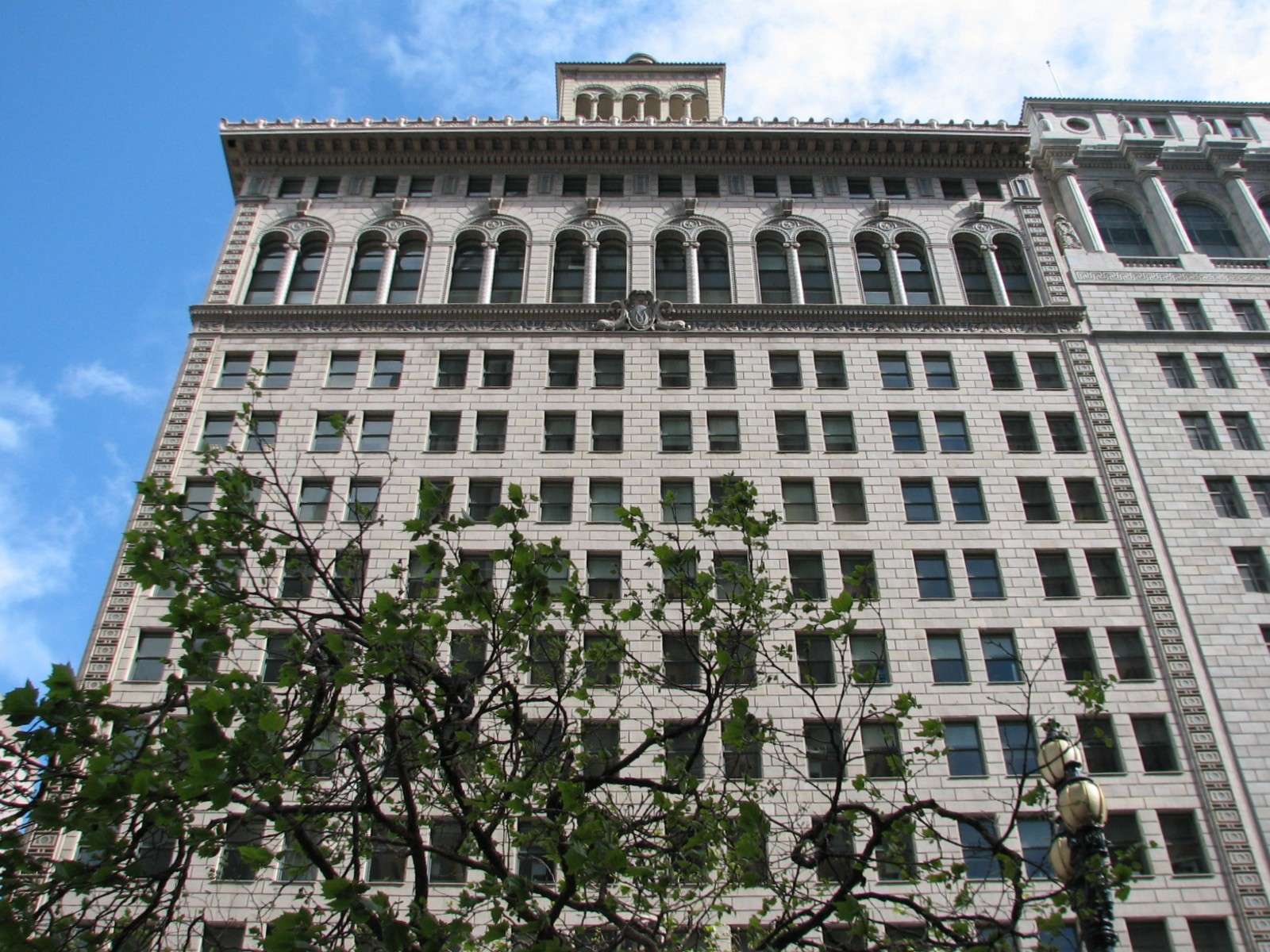
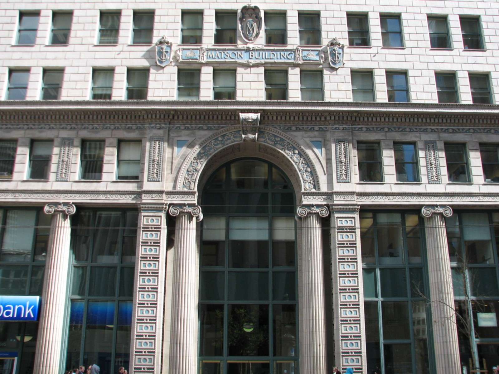
Matson Building, 1923:
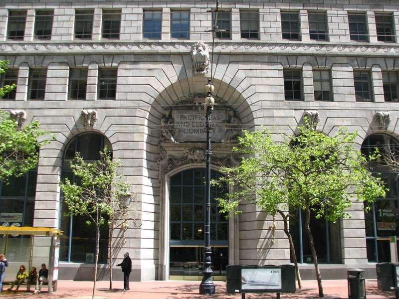
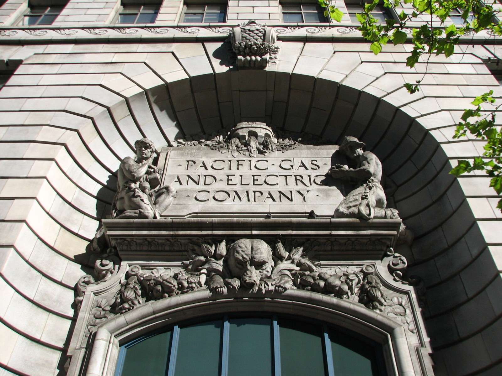
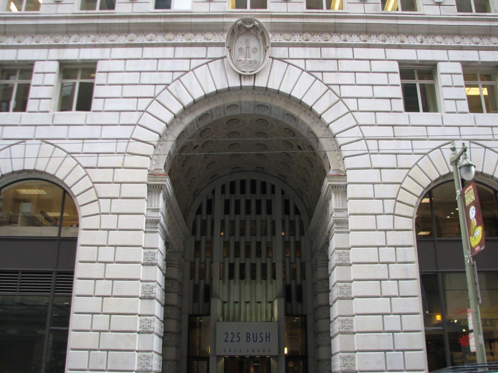
Pacific Gas and Electric Building, 1924:

Standard Oil Building, 1922:
San Francisco Mining Exchange, 1923:

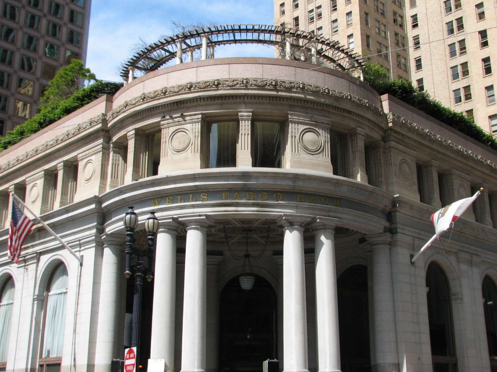
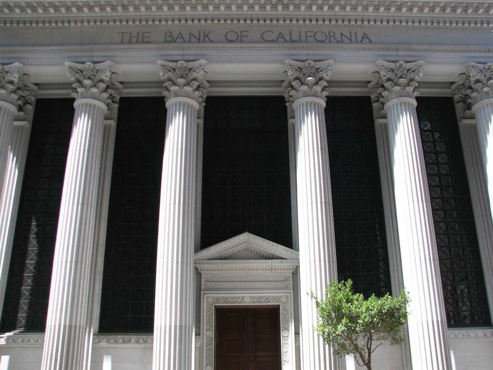
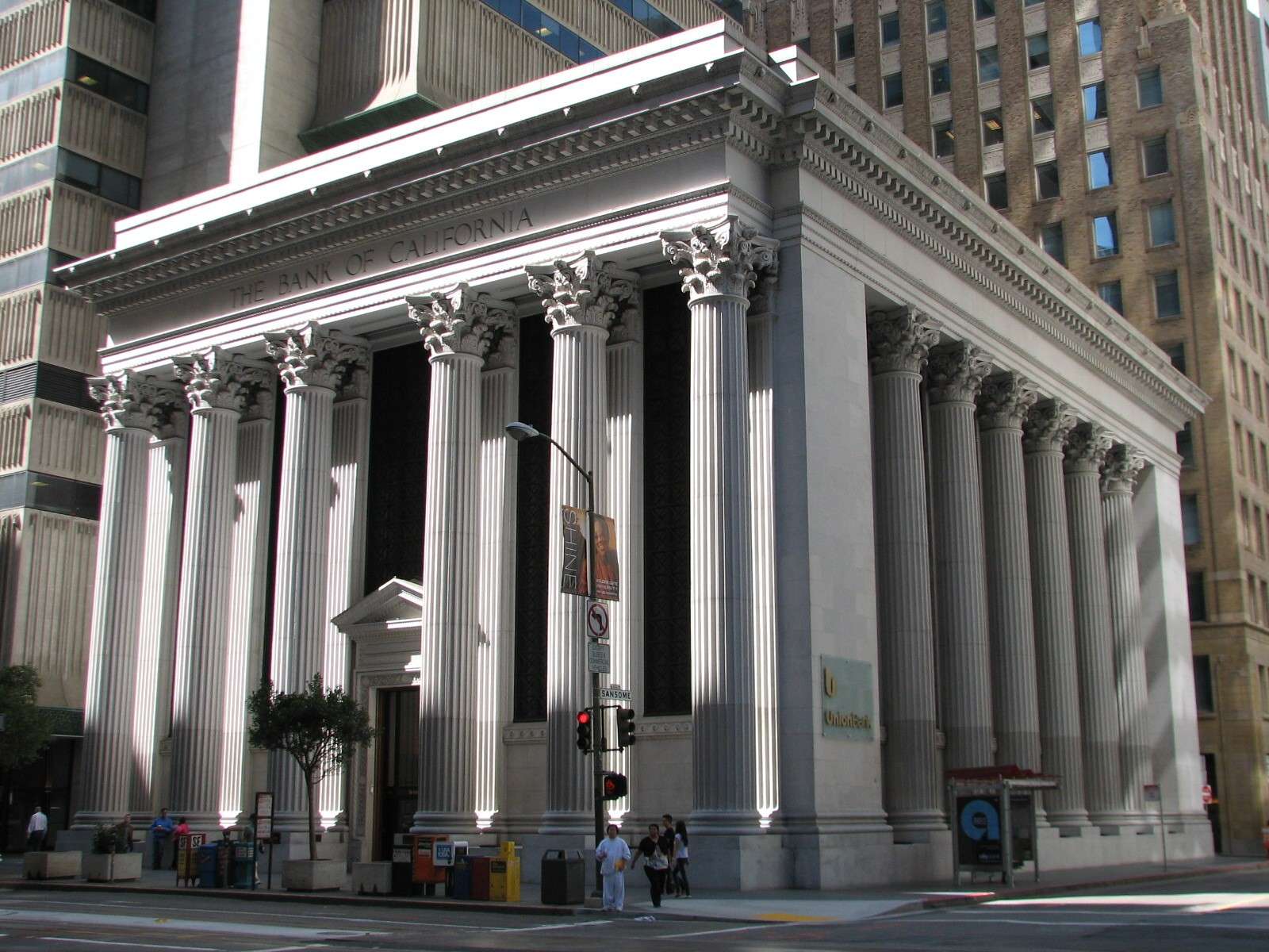
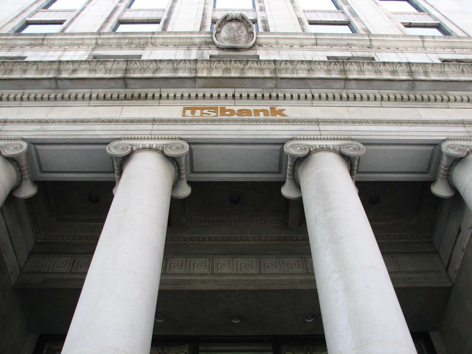
Bank of California, 1908:

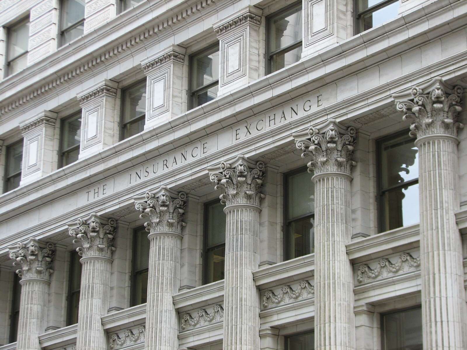
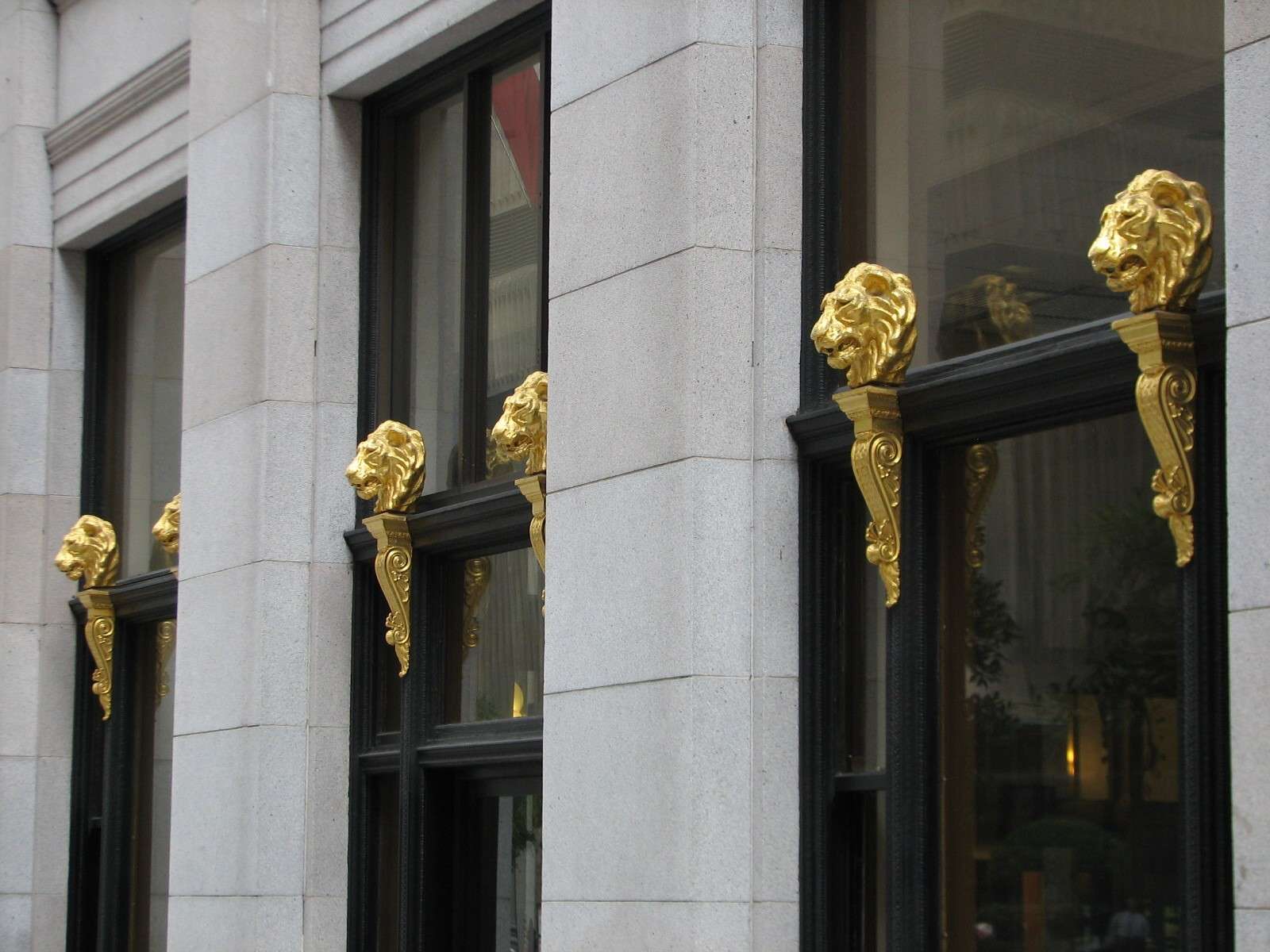
The Insurance Exchange, 1913:
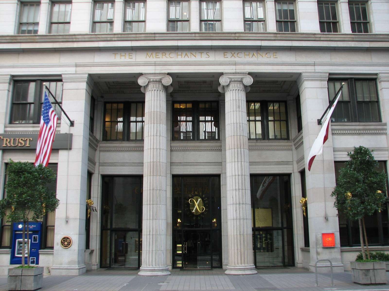
Merchants Exchange Building, 1904:
Security Pacific Building, 1922-41:
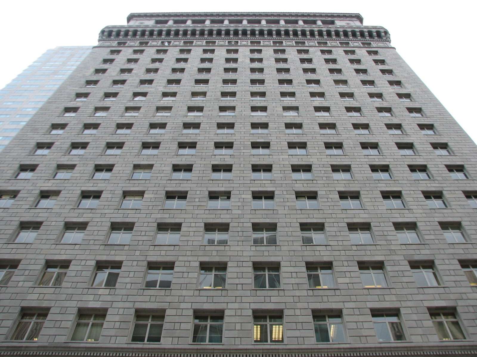
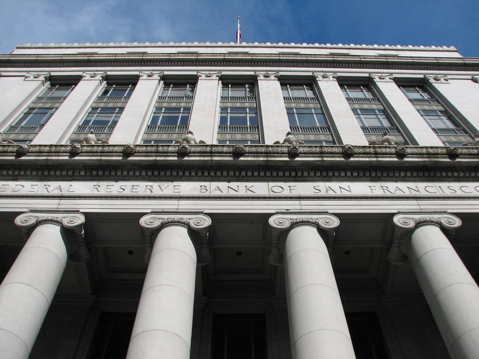
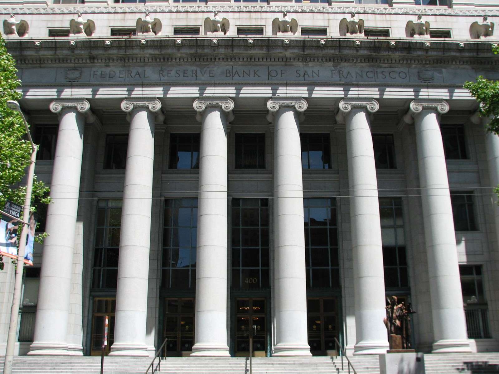
Old Federal Reserve Bank, 1924:
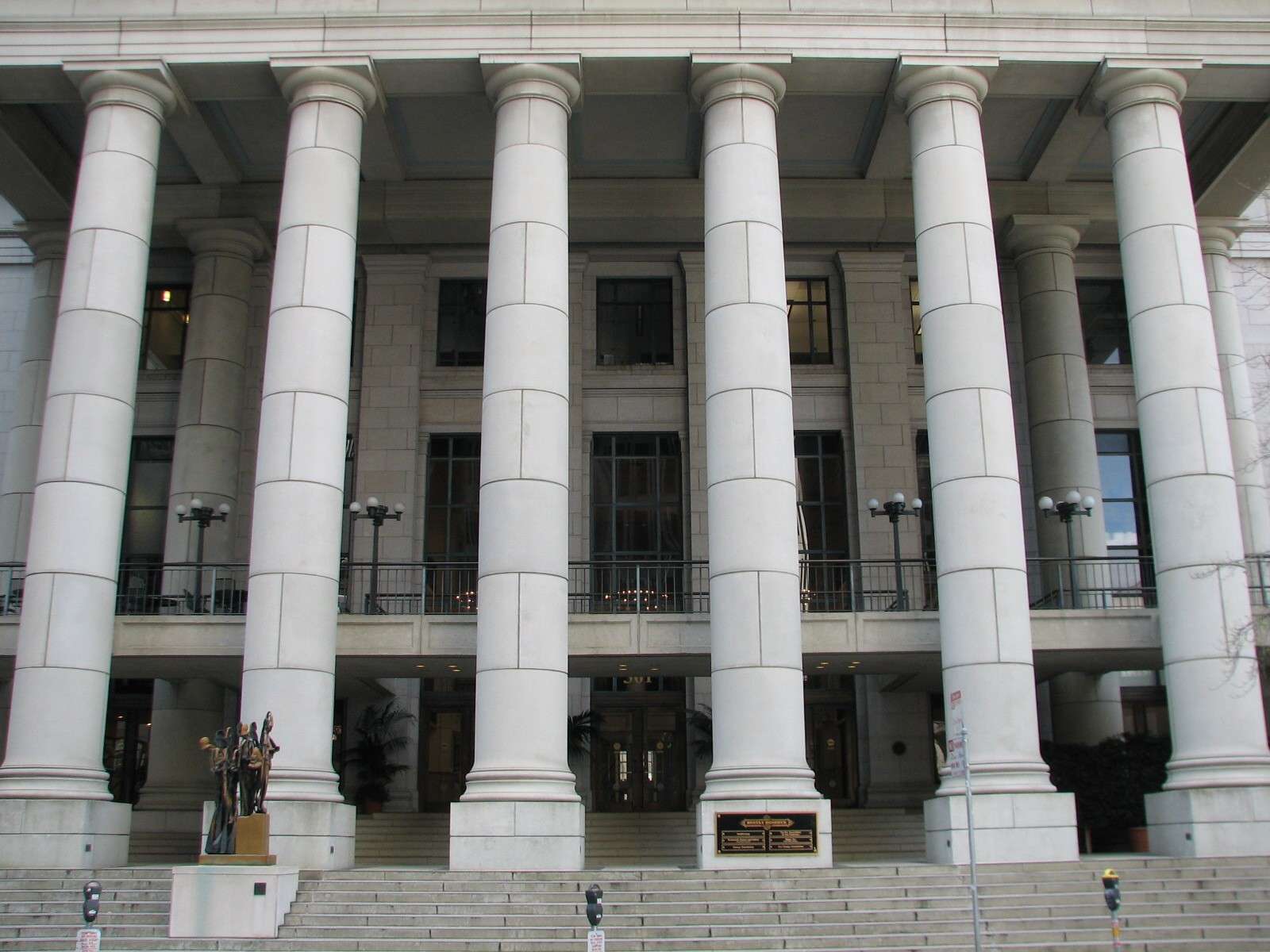
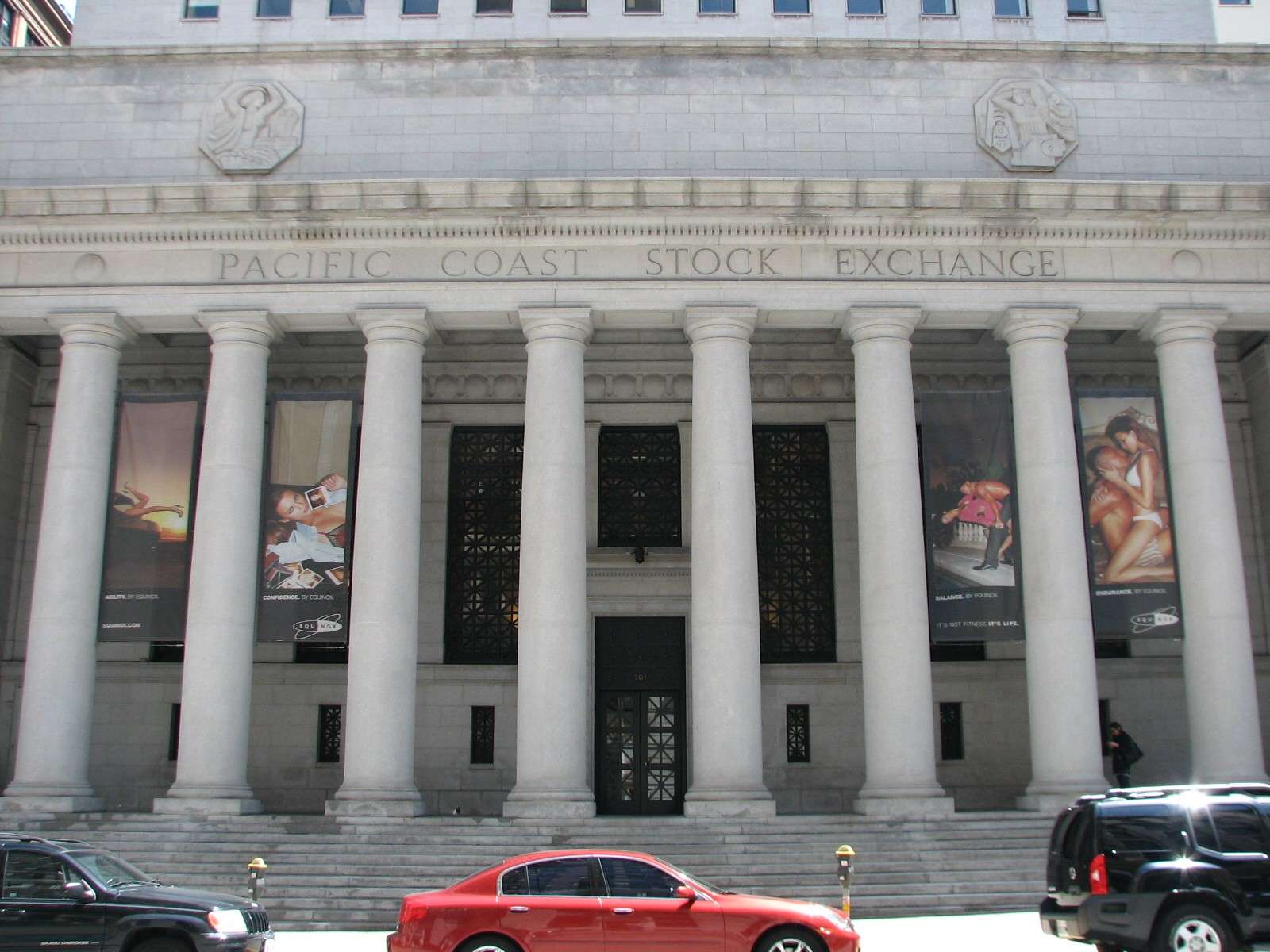
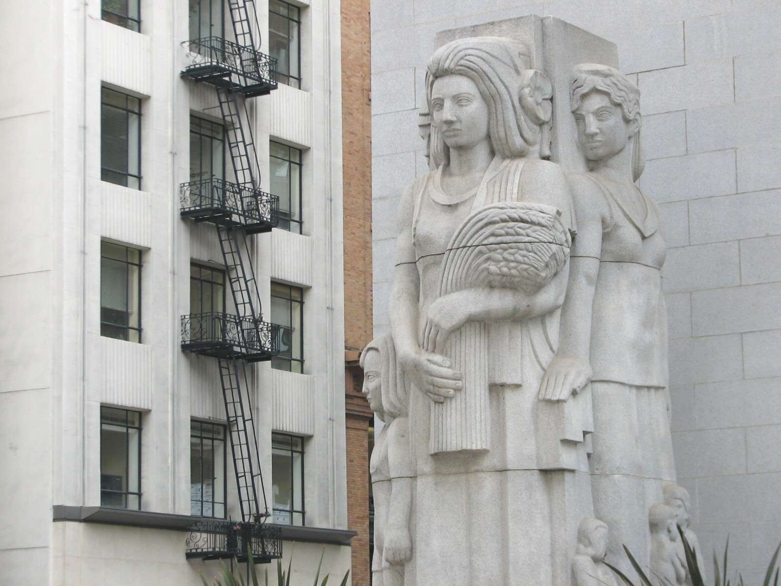
Pacific Coast Stock Exchange (now a fitness club!) and Tower, 1915-30:


130 Montgomery, 1930:

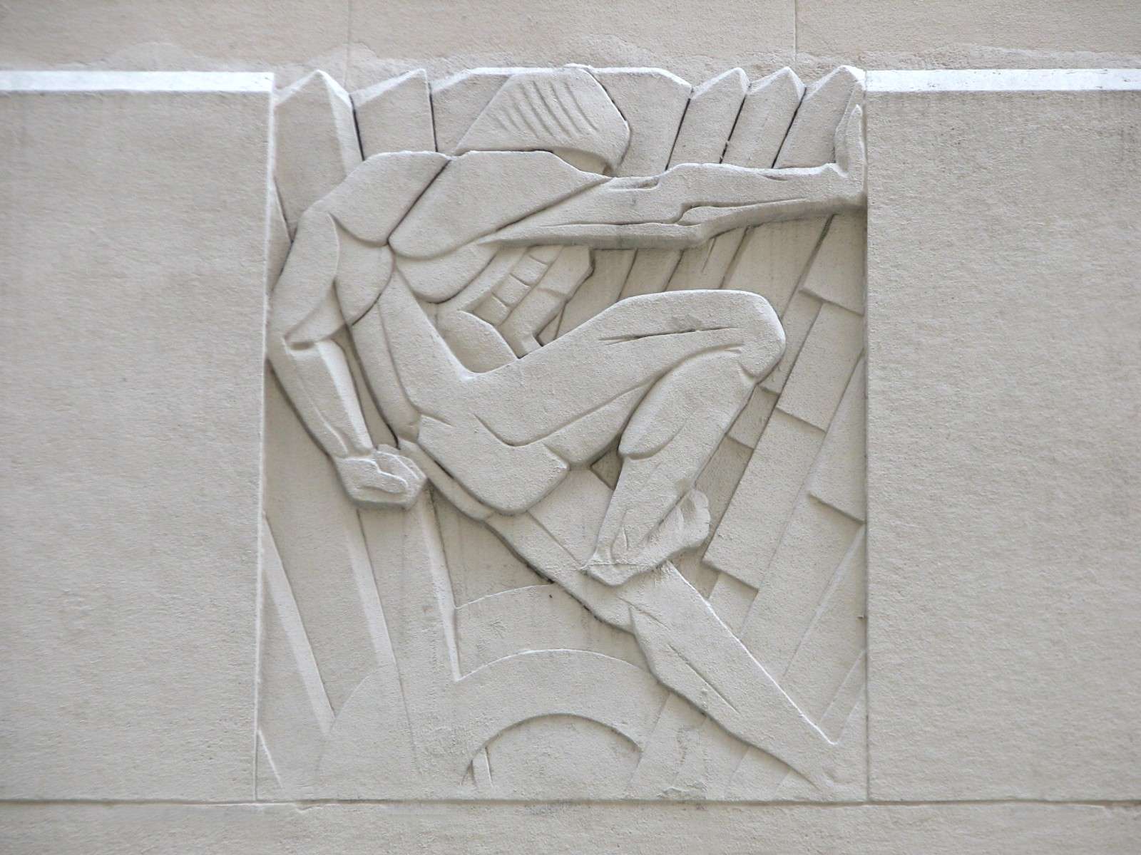
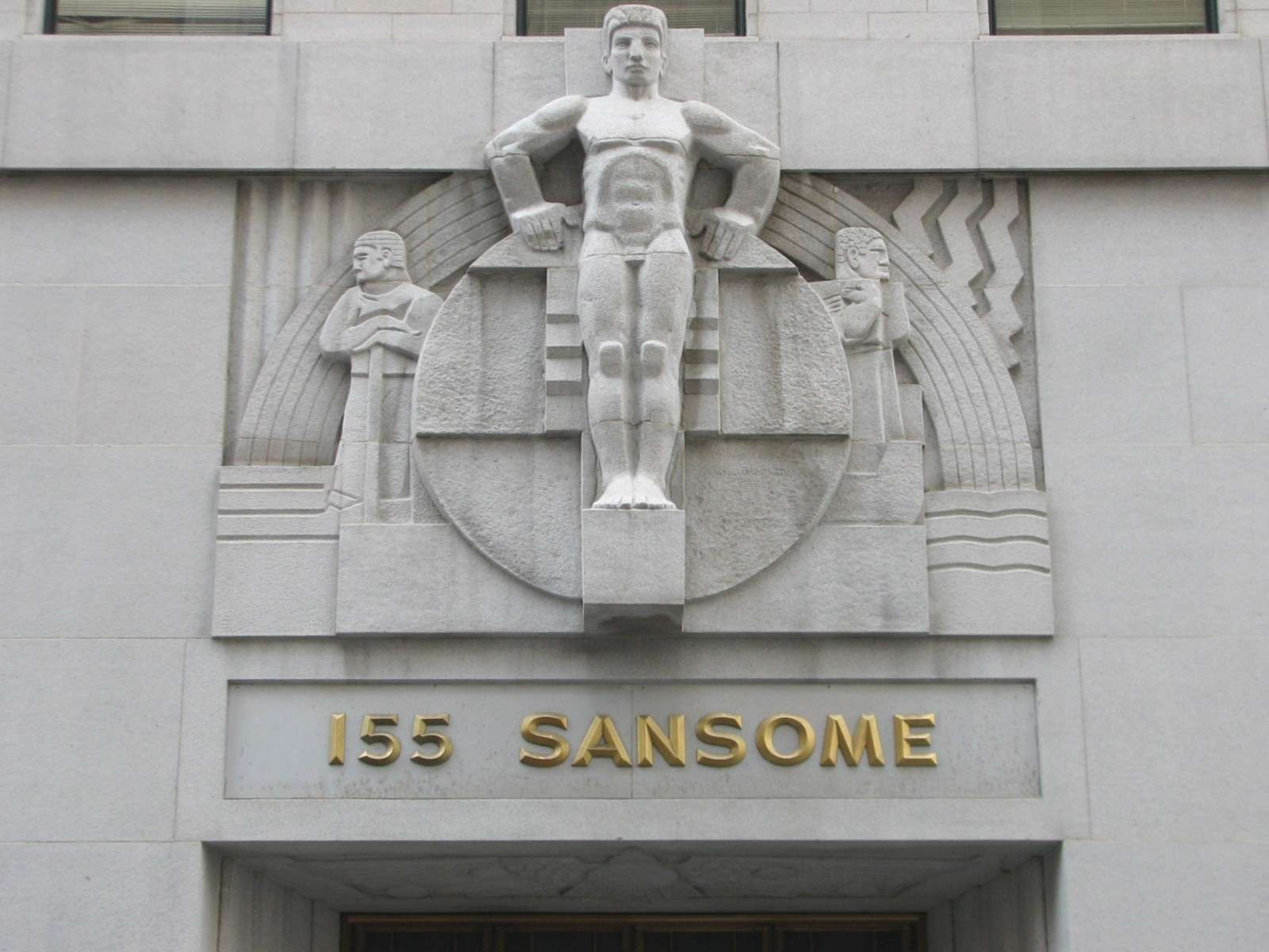
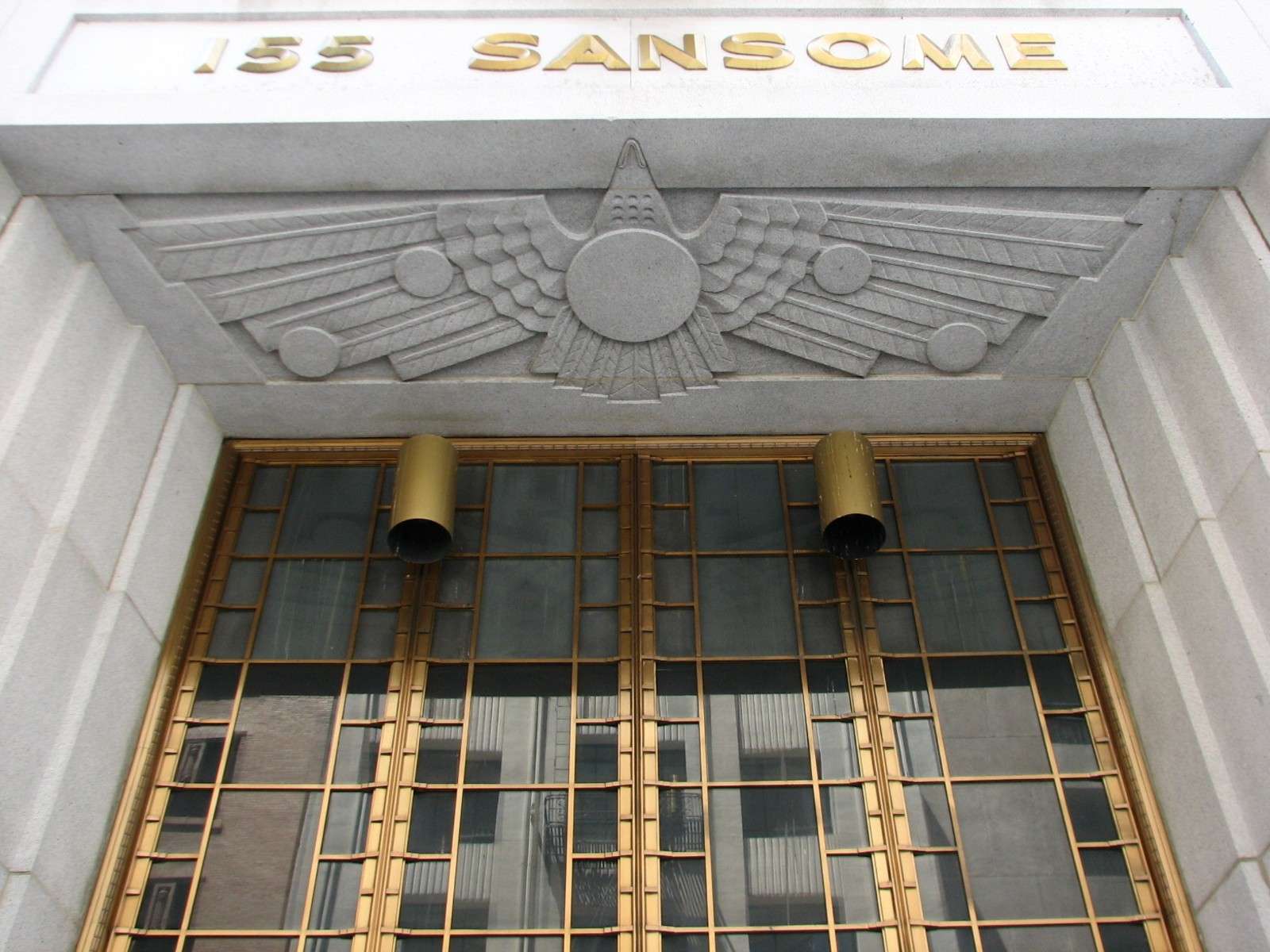
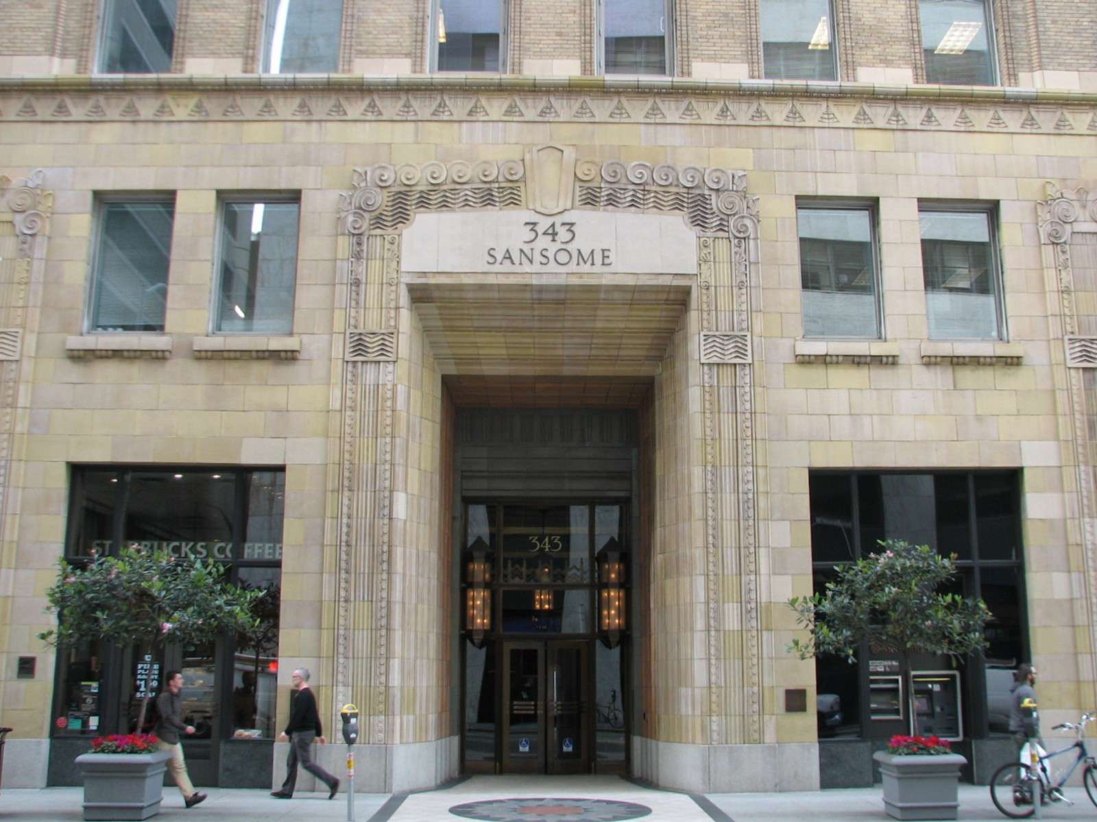
343 Sansome, 1908-29:
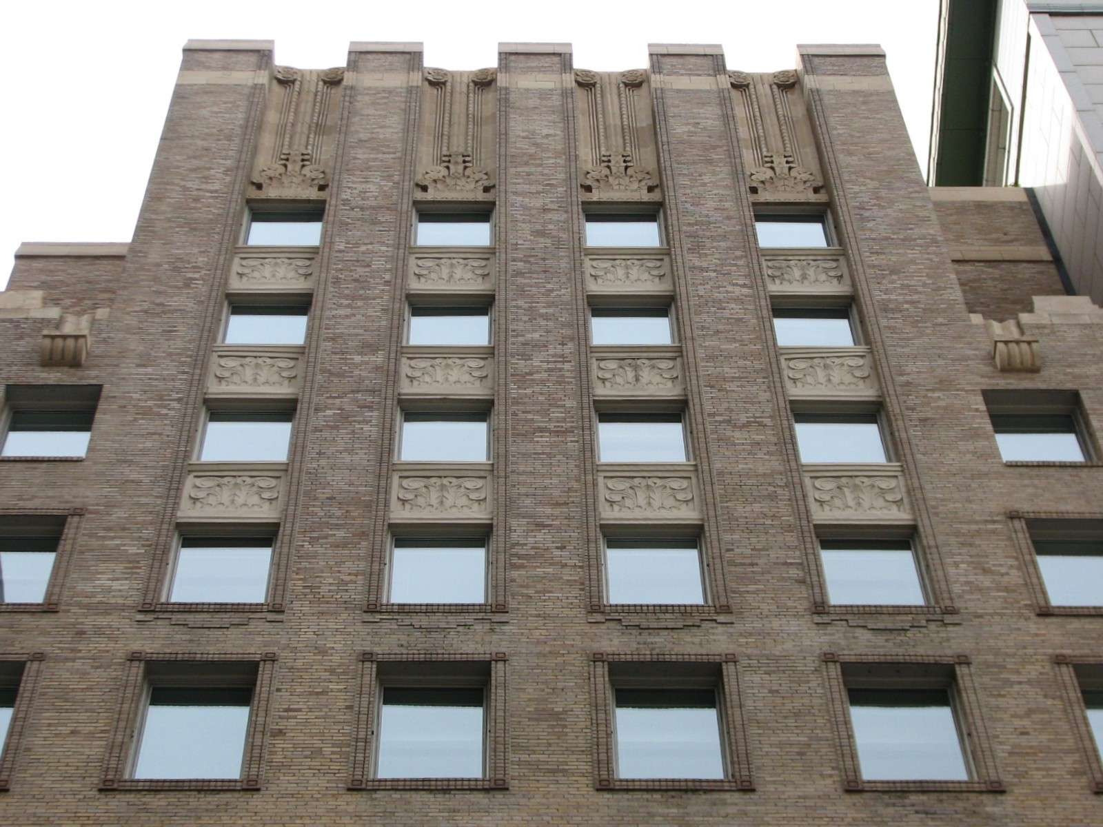
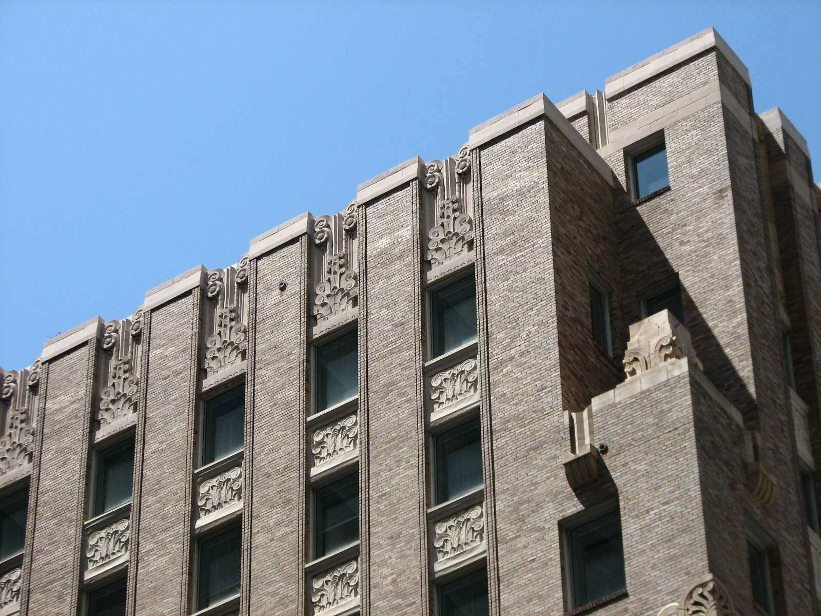
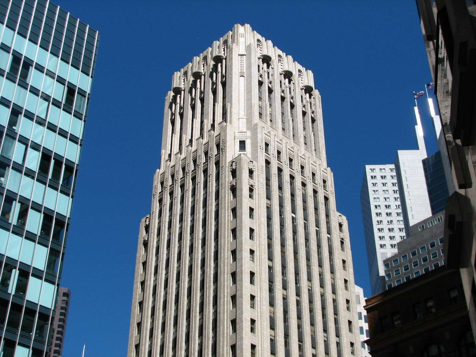
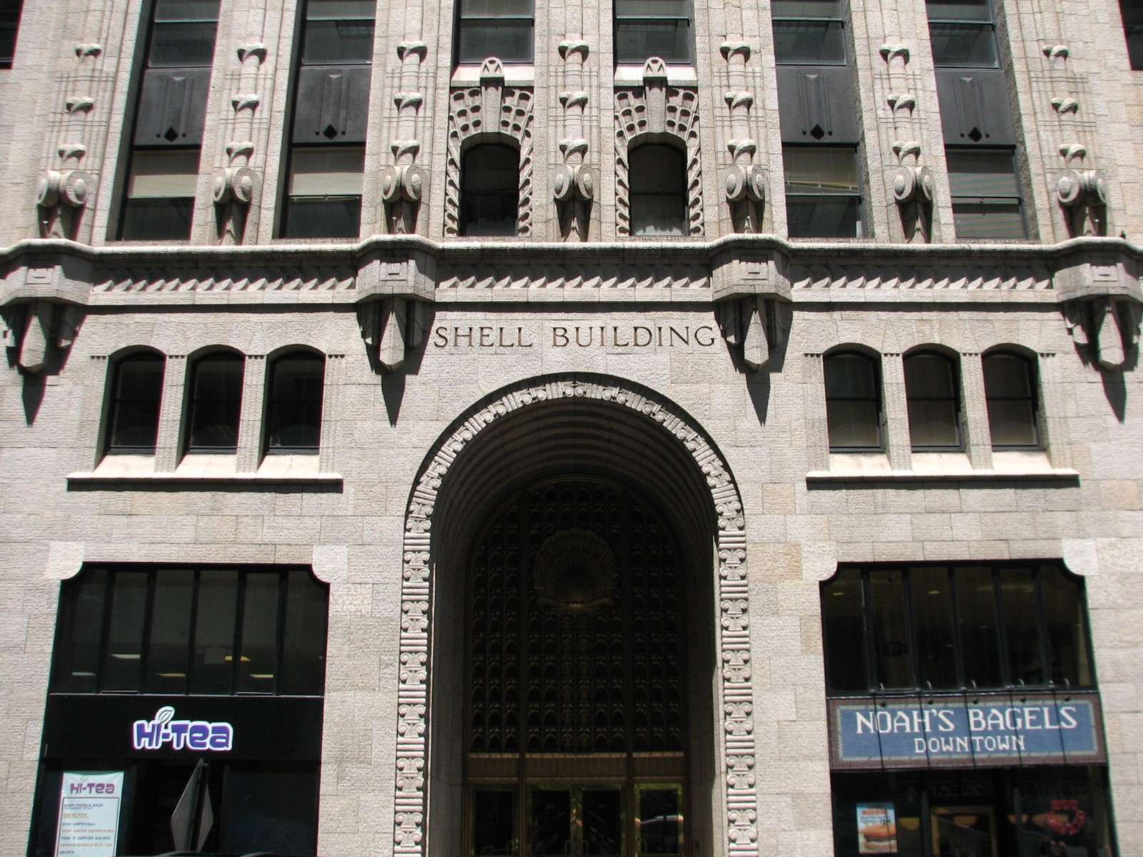
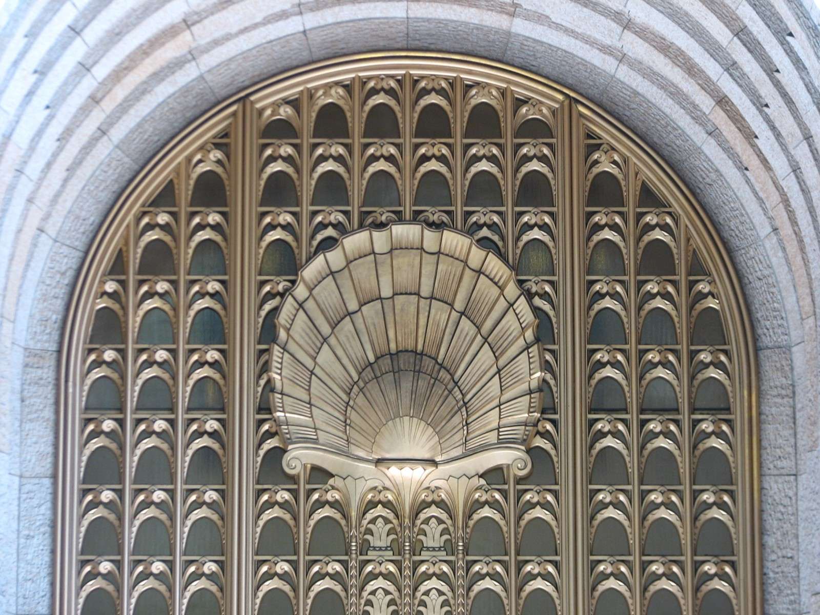
Shell Building, 1929:


All photographs taken in 2011 (except a few from 2005-2010) by geomorph.


 Threaded Mode