HomeDiagramsDatabaseMapsForum About
     

Go Back   SkyscraperPage Forum > Photography Forums > My City Photos


Reply

 
Thread Tools Display Modes
     
     
  #1  
Old Posted Jun 27, 2016, 7:15 PM
Laceoflight's Avatar
Laceoflight Laceoflight is offline
Montérégien
 
Join Date: Nov 2014
Location: Montréal, QC <> Paris, FR
Posts: 1,232
Le Québec | Towns & Villages | The <3 of French Canada [Ongoing]

This thread's purpose is to show the towns and villages all around the province of Quebec, as we generally see pictures of Montreal or Quebec City. There are numerous charming villages and towns located in an interesting variety of landscapes, from the flat and marshy valley of the Saint-Lawrence river to the woody foothills of the Appalachian mountains, without forgetting the touristy and rolling Laurentian hills.

Since last summer, I had multiple occasions to explore the countryside. So here it is. I hope you guys will enjoy. I'll continue updating the thread from time to time. Bienvenue au Québec :-) !


____________________


1. DESCHAMBAULT-GRONDINES

Deschambault-Grondines is located approximately 65 km SW from Quebec City, on the northern shore of the Saint Lawrence river. The locality has a population of 2259 and two village cores : Deschambault and Grondines.


Saint-Charles-Borromée church (1839-1842)


Sir-Lomer-Gouin road


La Chevrotière stream


La Chevrotière Mill (1802) and its stable (1766)


Saint-Joseph street


Saint-Joseph church (1835-1838)


De l'Église street and Church place


The Saint Lawrence


Reply With Quote
     
     
  #2  
Old Posted Jun 27, 2016, 7:39 PM
Laceoflight's Avatar
Laceoflight Laceoflight is offline
Montérégien
 
Join Date: Nov 2014
Location: Montréal, QC <> Paris, FR
Posts: 1,232
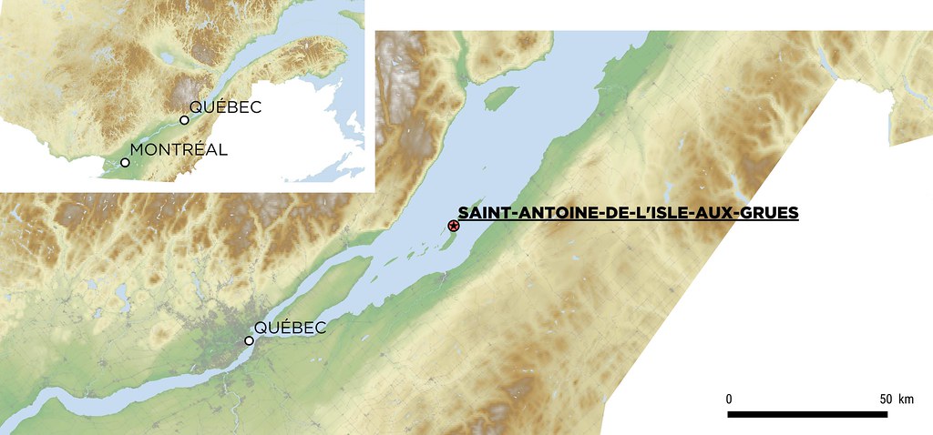
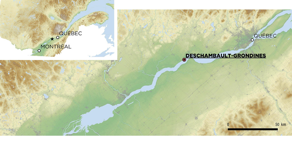
2. SAINT-ANTOINE-DE-L'ISLE-AUX-GRUES
-As published in the canadian section of the forum-


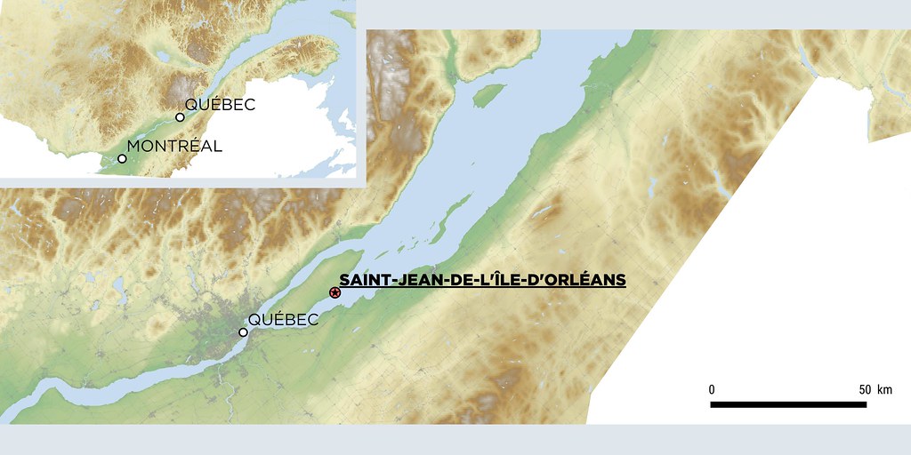
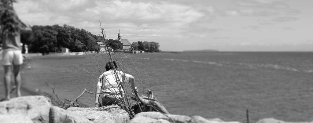
With some friends, we went to l'isle aux Grues, an island in the middle of the Saint Lawrence river, ~90 km NE, upstream of Quebec City, in front of the town of Montmagny, to celebrate Saint-Jean-Baptiste day (which is the national holiday in Québec, on June 24). It was fantastic.

We had to take a ferry in Montmagny to get to the island. We then walked the whole day on the island. To get back, as there were not a lot of ferries, we took a small plane.


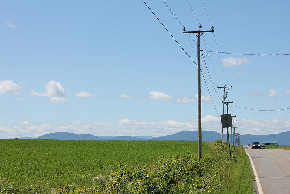
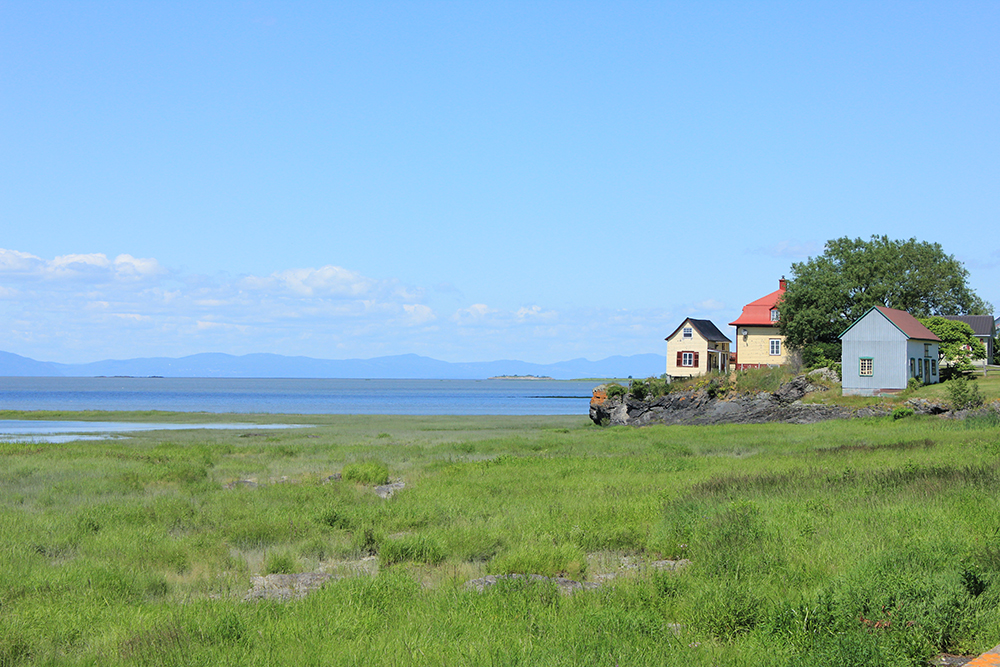
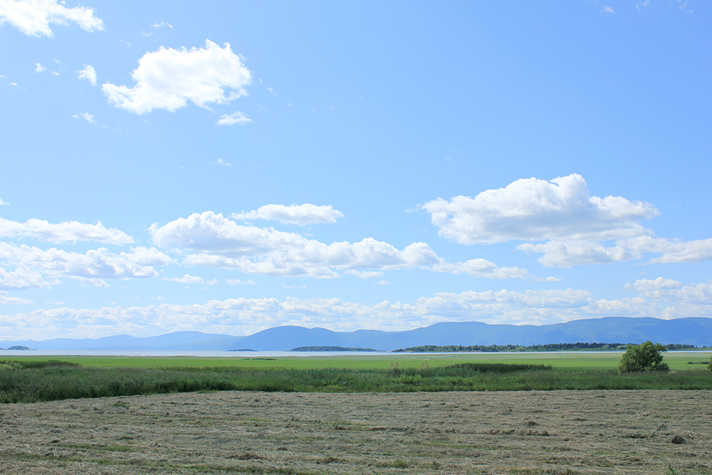
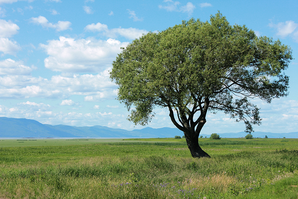
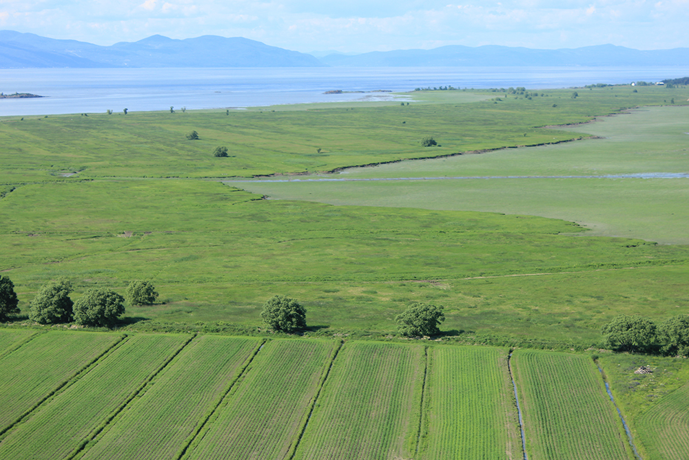
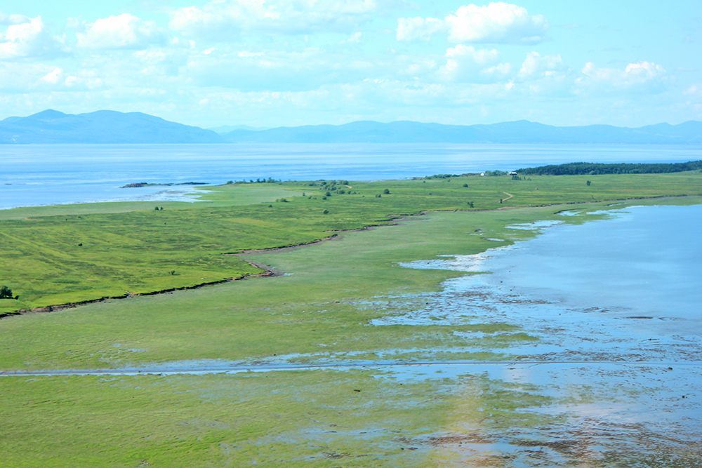
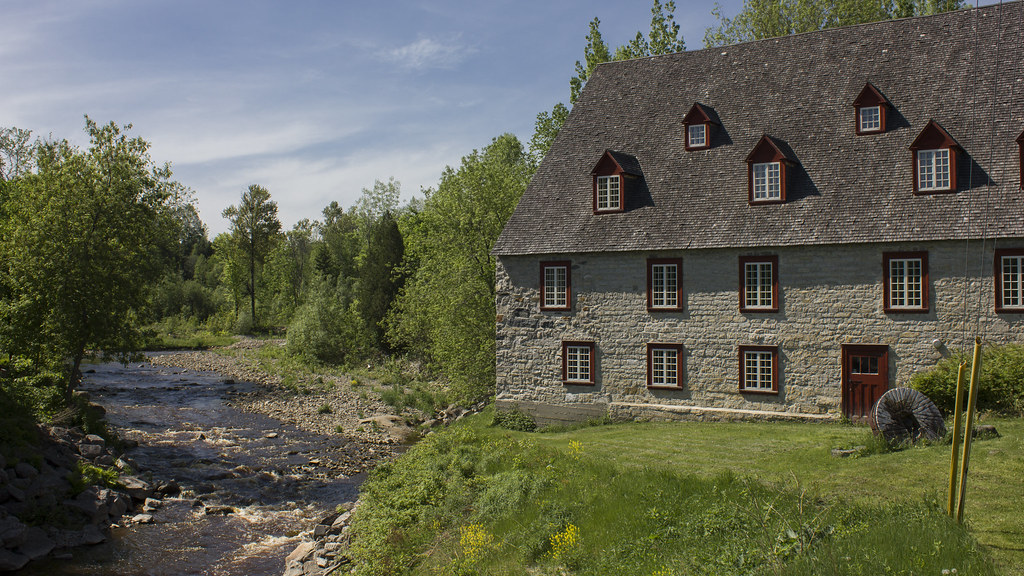
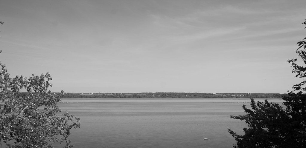
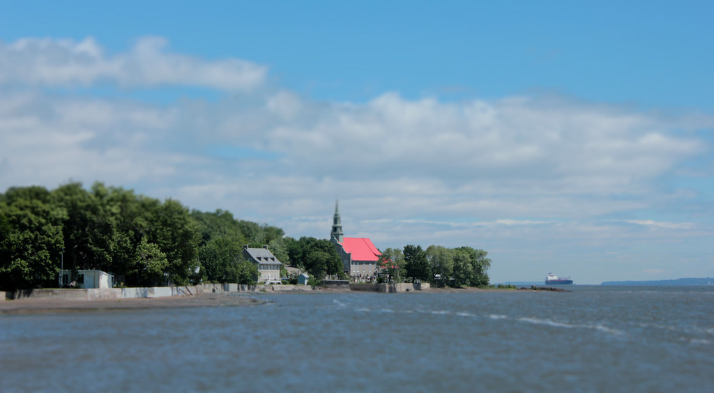
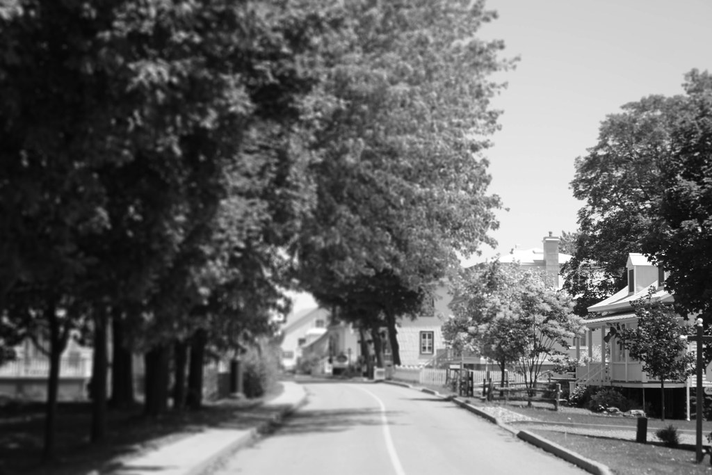
Wonderful landscapes for a walk. The blue mountains you see across the Saint Lawrence are located around Charlevoix, on the north shore.

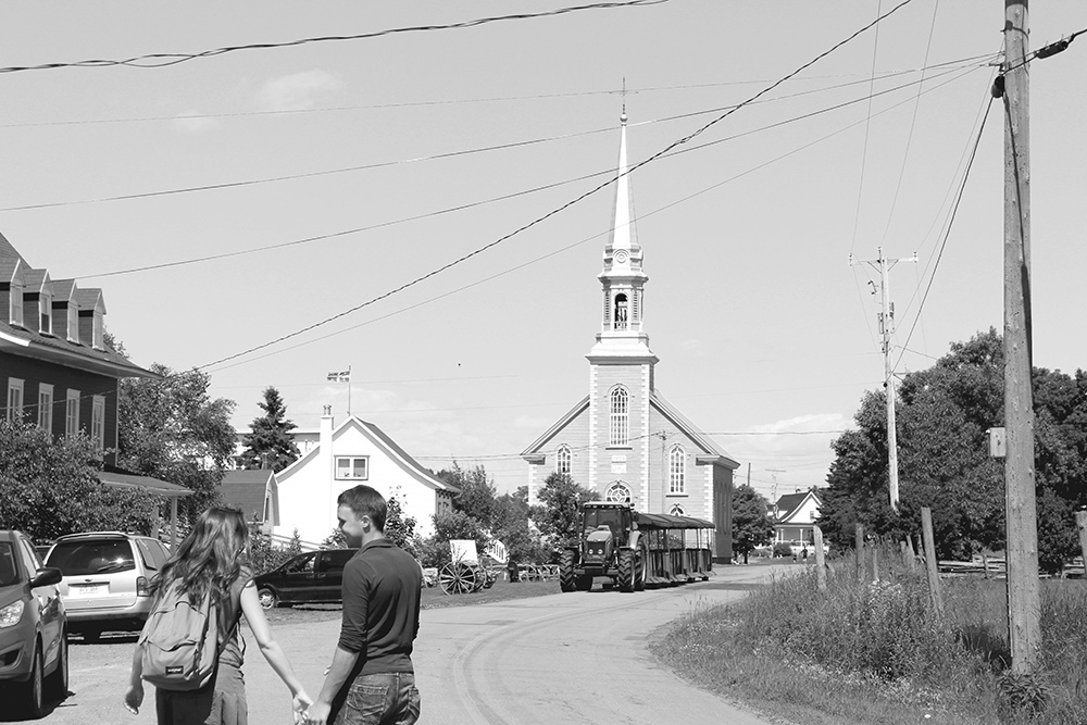
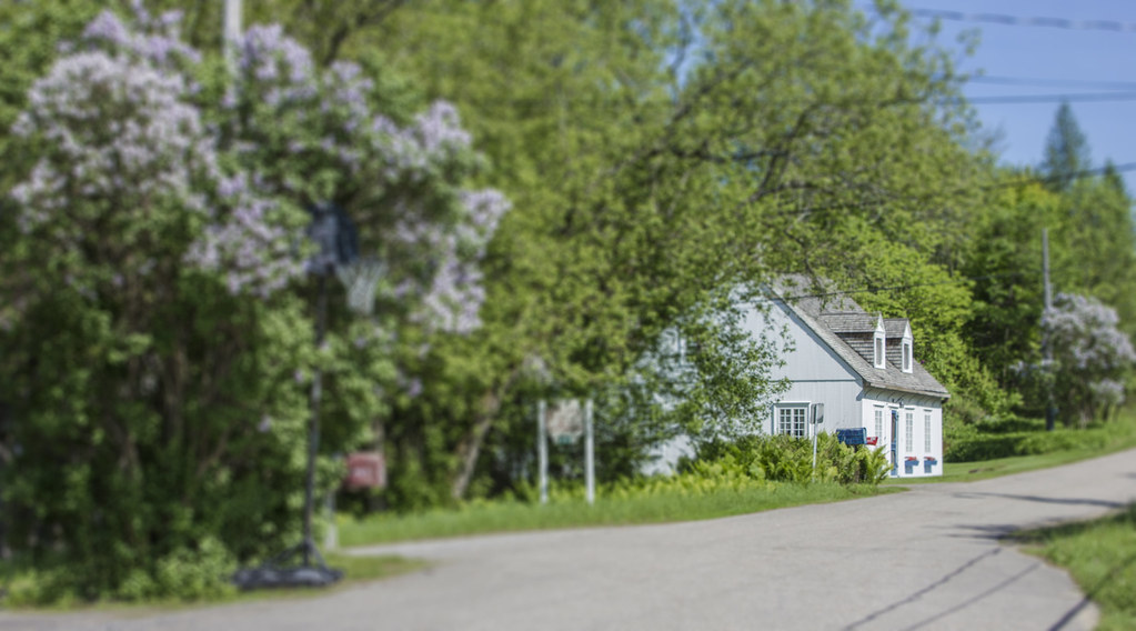
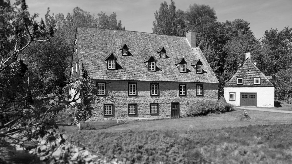
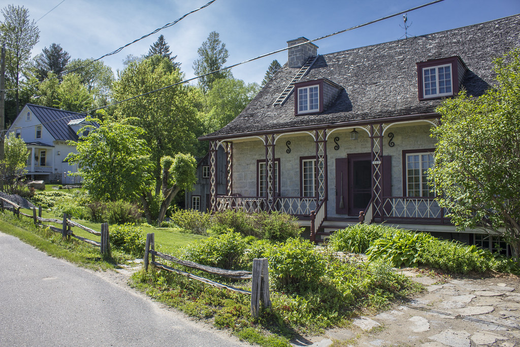
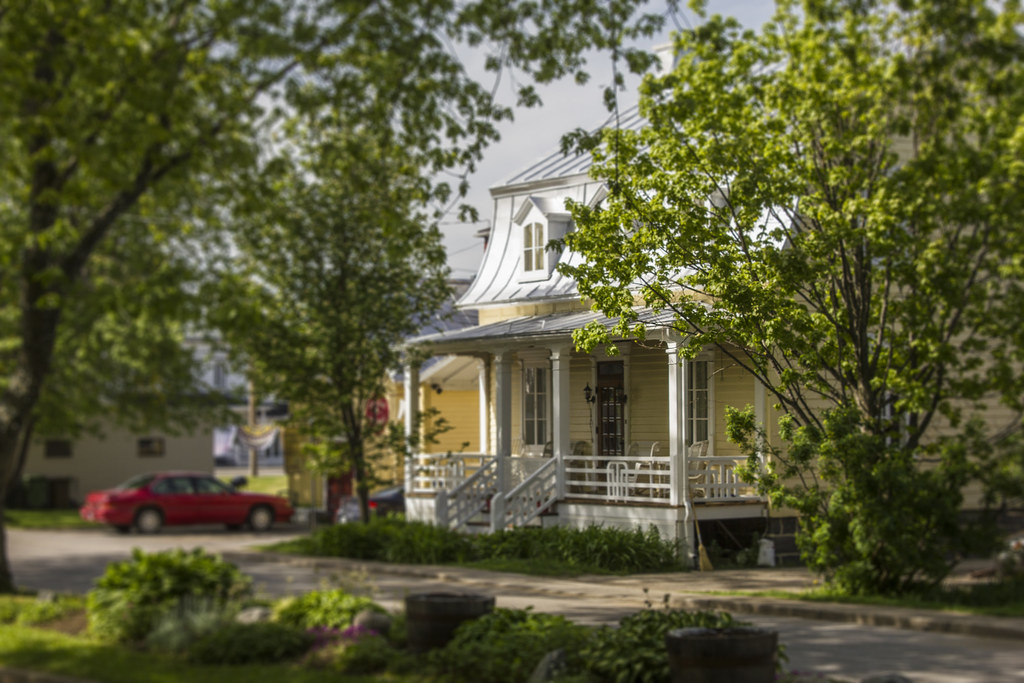
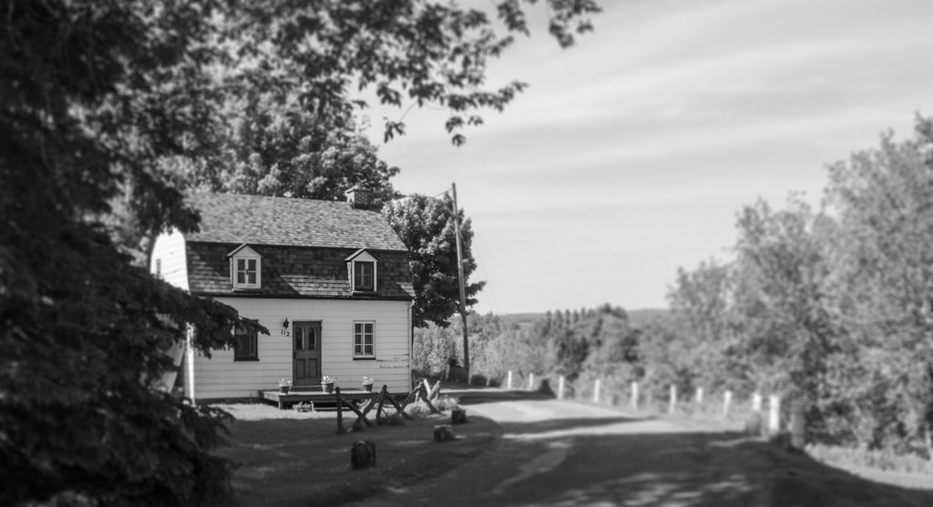
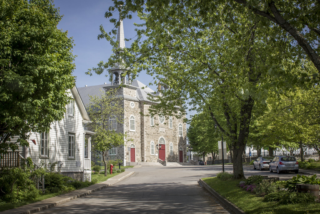
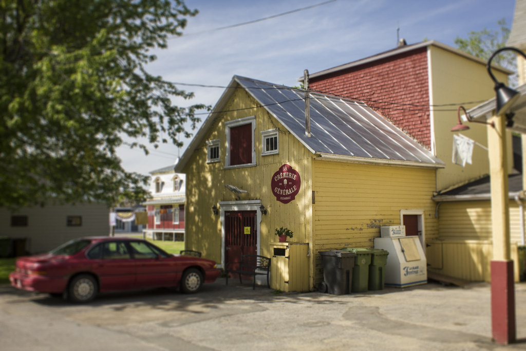
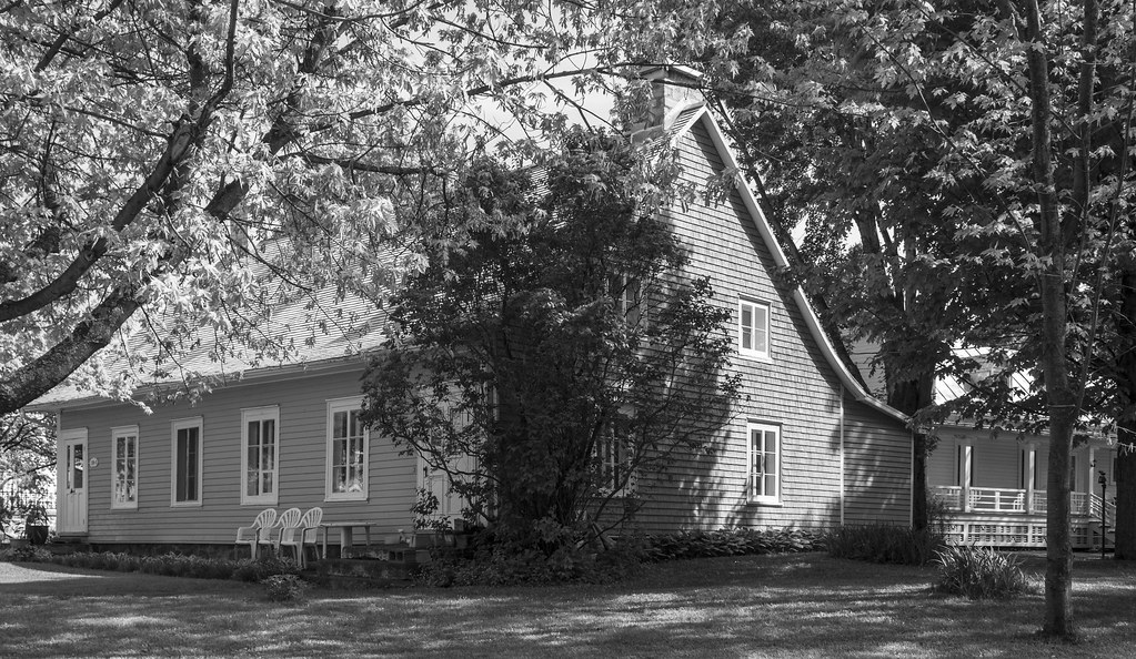
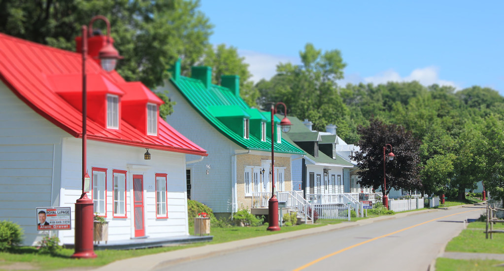
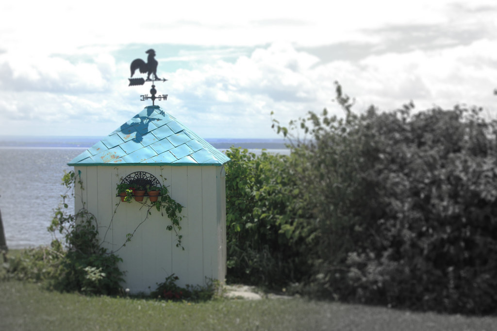
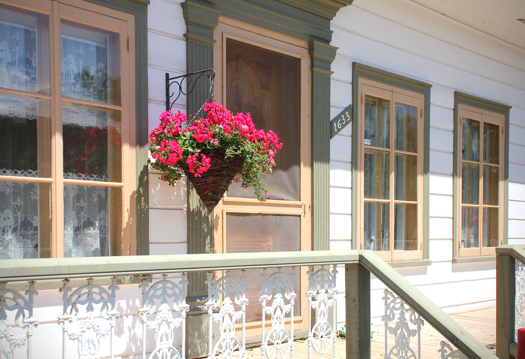
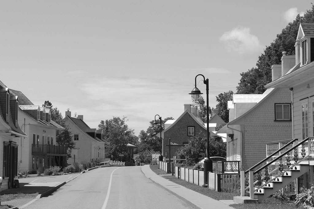
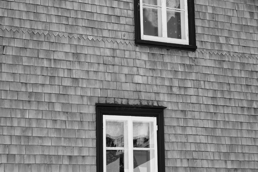
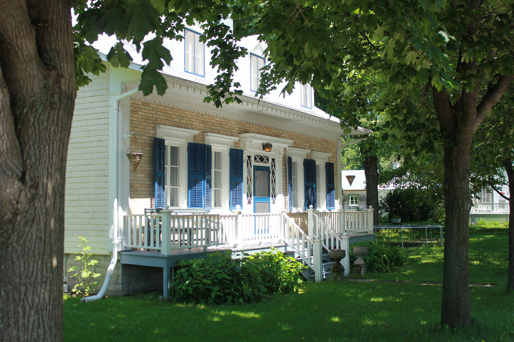
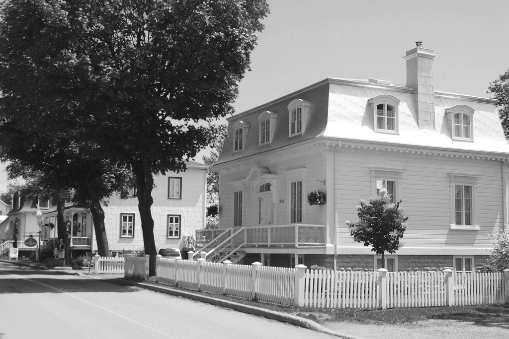
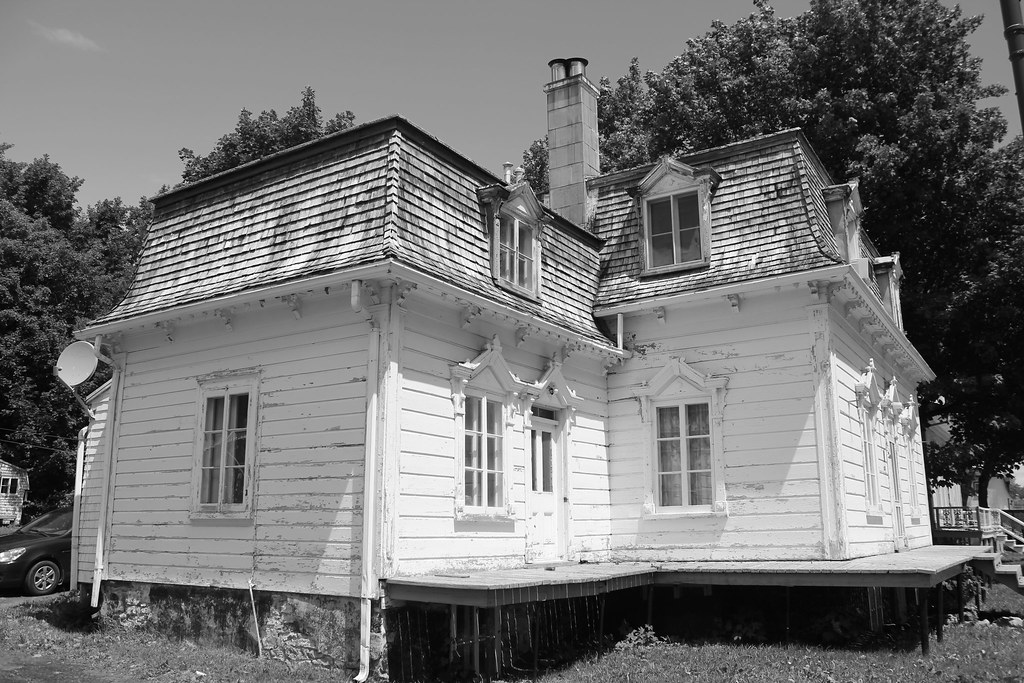
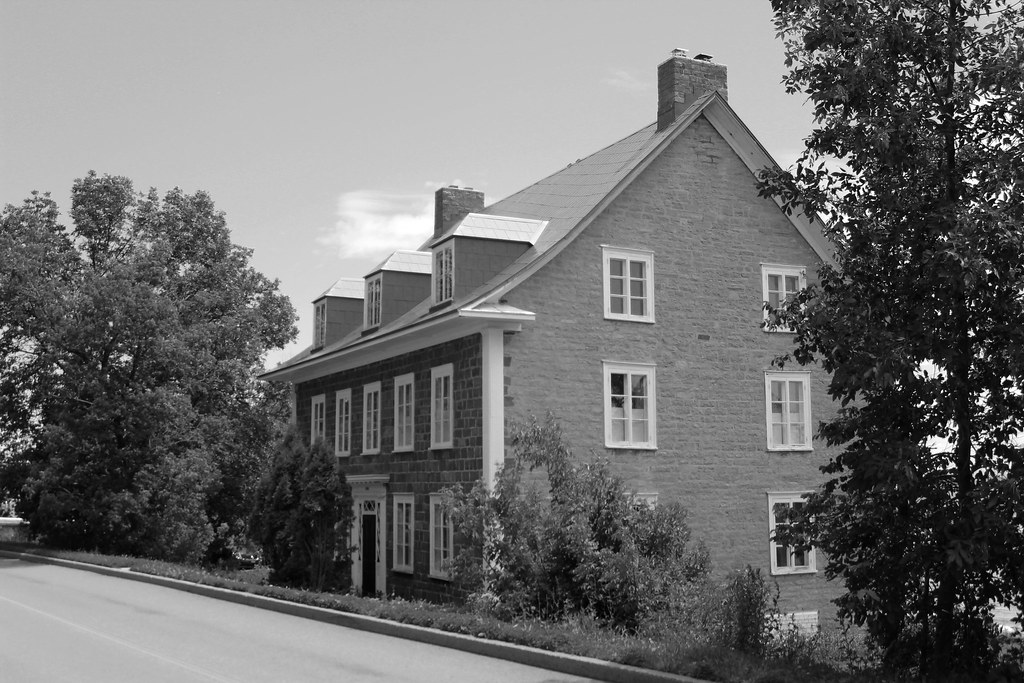
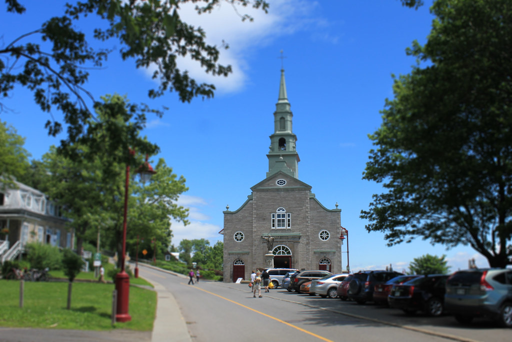
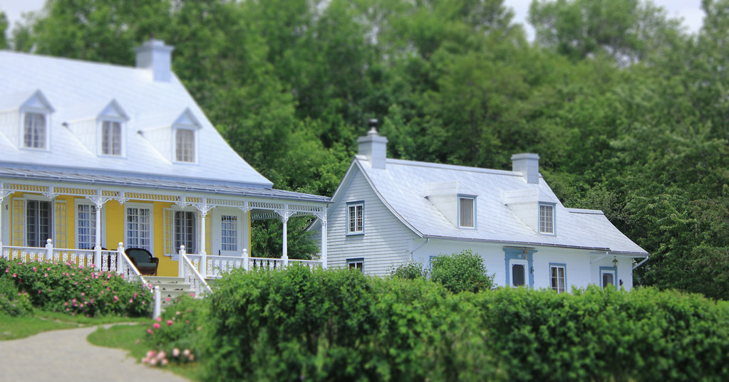
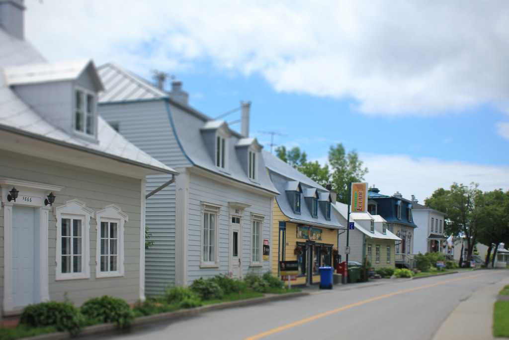
Saint-Antoine-de-l'Isle-aux-Grues is the only village on the island. It had a permanent population of 147 in 2015. It was settled in 1646.


The plane we took to come back to Montmagny


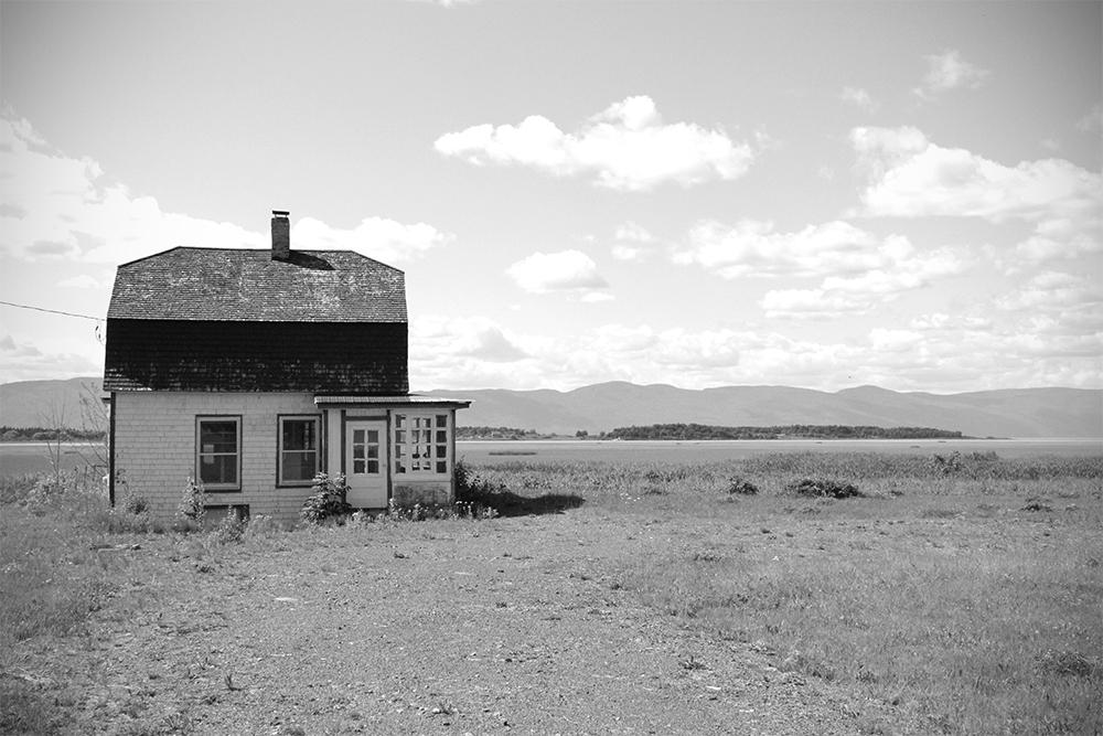
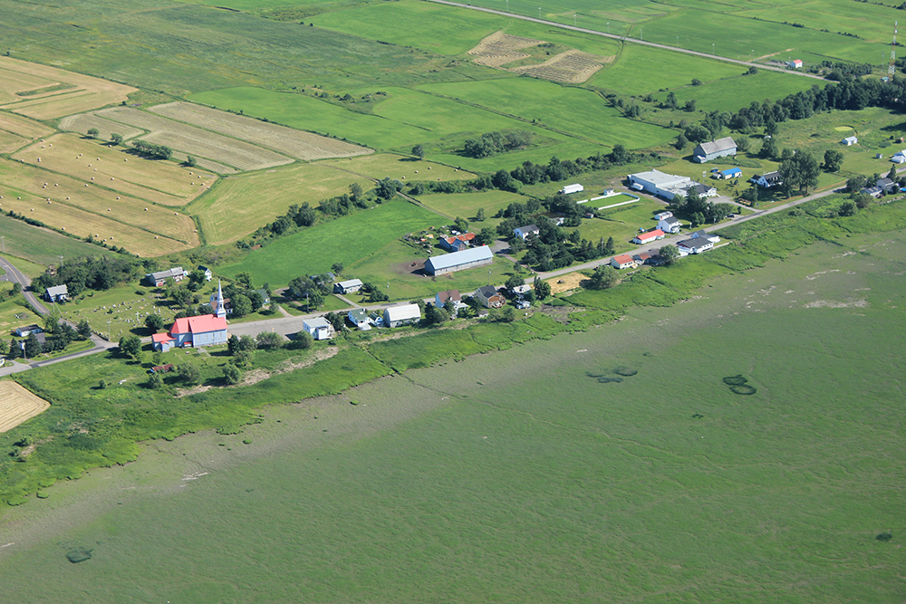
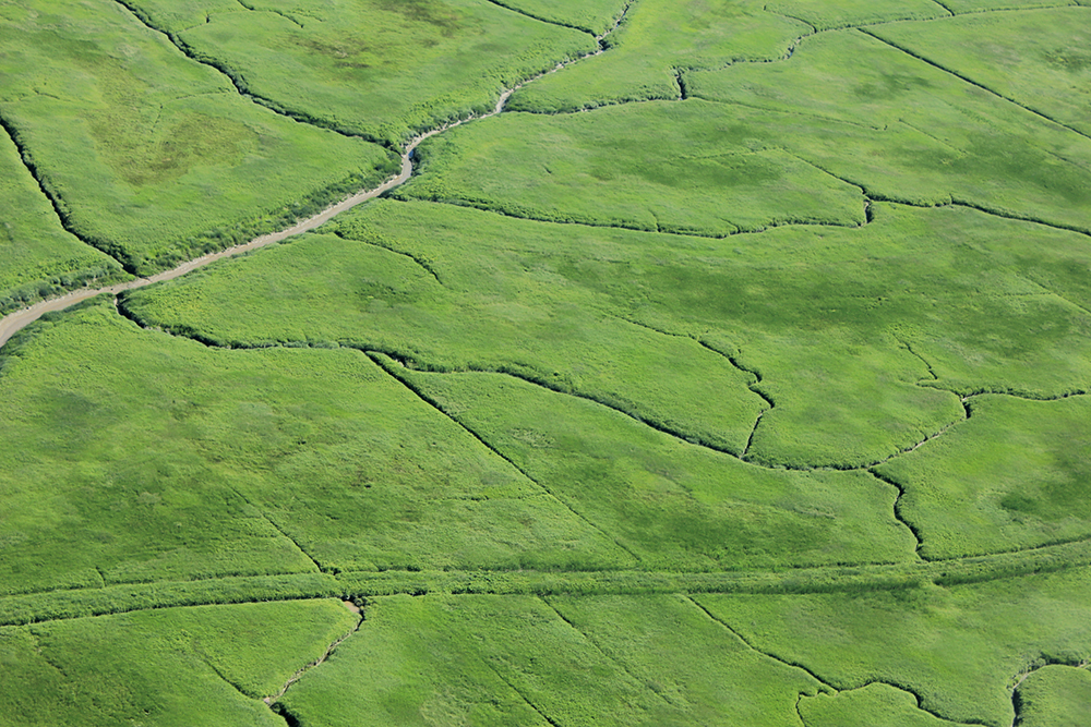
The island and the fields, at low tide. The tidelands are impressive (les battures in French)


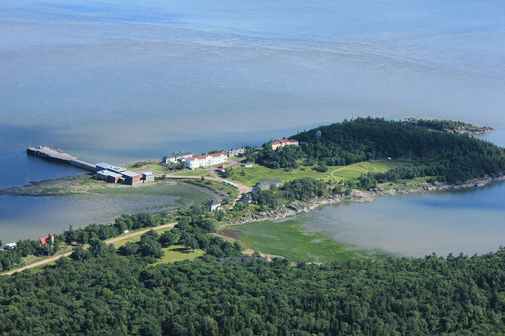
We flew over Grosse Île ("Big Island", litteral translation). This place was the entrance door of the Irish immigrants in the 19th century. Text from Parks Canada :

«Located in the middle of the St. Lawrence River, Grosse Île was a quarantine station for the Port of Québec from 1832 to 1937. At the time, the island was the main point of entry for immigrants coming to Canada.

You will be touched by the story of Grosse Île, a witness to both human tragedy and exceptional dedication. Relive the troubling experience of immigrants who set sail in hopes of a better future, and of those who cared for them upon arrival.»

IMG_9775 by Louis-Philippe R-Brosseau, sur Flickr
Reply With Quote
     
     
  #3  
Old Posted Jun 27, 2016, 8:06 PM
xzmattzx's Avatar
xzmattzx xzmattzx is offline
Registered User
 
Join Date: May 2006
Location: Wilmington, DE
Posts: 6,361
Interesting and picturesque little towns so far!
Reply With Quote
     
     
  #4  
Old Posted Jun 27, 2016, 9:47 PM
Laceoflight's Avatar
Laceoflight Laceoflight is offline
Montérégien
 
Join Date: Nov 2014
Location: Montréal, QC <> Paris, FR
Posts: 1,232
3. SAINT-JEAN-DE-L'ÎLE-D'ORLÉANS

Orléans island is one of Québec's jewels. It is located in the middle of the Saint-Laurent river just north east from Québec City. The island marks the limit between the freshwaters of the continental river and the brackish waters of the upper estuary.


A little bit of history, from Orléans Island Tourism :
«Île d’Orléans, one of the first settled sites in the New France colony, was once the home of an Aboriginal people who called it Minigo, the enchanted island.

« In 1535, explorer Jacques Cartier named the island Bacchus Isle because of the many grapes growing there. During his second trip to the “New World” in 1536, Cartier renamed the island Orléans in honour of the Duke of Orleans, the son to the French king, François I. The island has been known by this name ever since.

« The Hurons (Wendats), who had been the target of numerous attacks and massacres by the Iroquois (Mohawks) since 1648, fled north to Île d’Orléans in 1651. They were given shelter at Anse du Fort by the Jesuits. In 1661, known as a year of terror, the Iroquois launched a massive attack against Île d’Orléans and the towns of Montreal, Trois-Rivières, Tadoussac and Quebec City. Nearly 100 people, both French colonists and Algonquin, were slaughtered.

« There are 6 parishes / villages on the island. Sainte-Famille, the first parish on the island, was established in 1661. The first church in Saint-Jean was built in 1675, which was then replaced by the existing church in 1734.

« In the summer of 1759, Île d’Orléans was evacuated prior to the arrival of the Royal Navy and the English troops under the command of General Wolfe. He established a military camp on the island to keep watch on Quebec City and the channels of the St. Lawrence River. The buildings on the island were nearly all razed after Wolfe’s defeat on July 31 at L’Ange-Gardien. Only a few homes were spared, including Mauvide-Genest Manor and Drouin House. One of the few traces of the English occupation remaining today is some graffiti on the wall of the church in Saint-François, which served as a military hospital and lodgings for English soldiers.

« Île d’Orléans was declared a historical district in 1970 under the Cultural Property Act. »
________

Mauvide-Genest mansion
« Mauvide-Genest Manor, which dates back to 1734, was built in Saint-Jean by Mr. Jean Mauvide (1701-1782), a surgeon and merchant. In 1752, Mauvide was appointed Seigneur. »


The village is built along one road : le chemin Royal, and stretches over 2,6 km.


The Saint Lawrence river is always visible


Typical vernacular architecture


Saint-Jean-de-l'Île-d'Orléans, as seen from the docks


Saint-Jean Church was built in 1734, replacing the older church from 1675. It's one of the very few buildings that survived the 1759 English War of Conquest. Like every church in Quebec's older towns, it is located on a typical Church place.


Reply With Quote
     
     
End
 
 
Reply

Go Back   SkyscraperPage Forum > Photography Forums > My City Photos
Forum Jump


Forum Jump


All times are GMT. The time now is 5:48 AM.

     
SkyscraperPage.com - Archive - Privacy Statement - Top

Powered by vBulletin® Version 3.8.7
Copyright ©2000 - 2024, vBulletin Solutions, Inc.