HomeDiagramsDatabaseMapsForum About
     

Go Back   SkyscraperPage Forum > Photography Forums > My City Photos


Reply

 
Thread Tools Display Modes
     
     
  #161  
Old Posted Mar 27, 2012, 4:16 AM
nygirl1 nygirl1 is offline
Registered User
 
Join Date: Sep 2005
Posts: 566
The best of the Bronx part 15: Morris Park and Pelham Parkway

We will continue now into the center of the Bronx on the other side of Bronx Park to the neighborhoods of Morris Park and Pelham Parkway


Morris Park is a middle class residential community in the center of the eastern half of the Bronx. The area was popular in the past due to the Morris Park racetrack which most of the neighborhood originally developed around. The track hosted the Preakness and Belmont stakes which ran for years in the neighborhood. Only 20 years after its construction the racetrack burned down. Instead of rebuilding the land the large track sat on was divided into plots and transformed into the quiet residential community it is today. The low-lying neighborhood consists of mostly one and two family homes as well as apartment buildings. The community is largely Italian based and next to Bensonhurst and Staten Island among the largest Italian neighborhoods in the city. The Columbus Day Parade, held in Morris Park annually since 1977 has made the neighborhood locally famous.


Pelham Parkway

One of the most interesting neighborhoods in the borough of the Bronx is the Pelham Parkway which sits centrally located near Bronx Park. The neighborhood is a high density residential community dominated by large multi story apartment complexes and co-op buildings. What characterizes this neighborhood aside from its national ties are the large and often imposing Art Deco and Tudor apartment blocks with their central gardens. They really make the street-scape of Pelham Parkway “pop”. Recently the neighborhood has seen new construction which is a neat contrast to the pre war built environment although this began taking place mostly after I toured the neighborhood. Pelham Parkway is significantly diverse with small pockets of Arab, Guyanese, African American, Puerto Rican, Russian, Italian, Jewish and Irish populations but the area is predominantly Albanian. In fact Pelham Parkway has the largest concentration of Albanians in the city of New York. Lydig Avenue which runs through the neighborhood and is buzzing with activity is the center of Albanian life in the city. If the character of the neighborhood isn’t defined by its housing stock, or as the Albanian claim on New York City then it’s the beauty of the parkway itself which is officially named the Bronx-Pelham parkway as it connects the Bronx and Pelham Bay parks. The parkway is lined with large trees on either side and buildings are only allowed to be constructed off the parkway if they are 150’ off the thoroughfare.


__________________
Brooklyn: The Motherland.
Reply With Quote
     
     
  #162  
Old Posted Mar 27, 2012, 4:20 AM
nygirl1 nygirl1 is offline
Registered User
 
Join Date: Sep 2005
Posts: 566
The best of The Bronx part 16: Woodlawn

Ok so I have 19 of these tours all together and because I had all the neighborhoods I really wanted and there are so many posts made for the tour now I felt like I had to bypass some of the central Bronx communities although one (more north than center) is Williamsbridge which I showcased in the Introduction. So.....jumping all the way up to the northern Bronx will bring us into the neighborhood of Woodlawn


Woodlawn is a residential neighborhood in the very north of the Bronx. There is a deep connection between the community in the Bronx and the city of Yonkers in Westchester, specifically the south eastern section. Woodlawn houses the largest Irish-American population in New York City and has done so for generations as the neighborhood built up. Katonah Avenue, the main artery of Woodlawn features many of the businesses in the community which include markets, specialty shops, restaurants and pubs most of these establishments, Irish owned and themed. The youth in the area have had a long standing rivalry with Riverdale youth.


__________________
Brooklyn: The Motherland.
Reply With Quote
     
     
  #163  
Old Posted Mar 27, 2012, 4:25 AM
nygirl1 nygirl1 is offline
Registered User
 
Join Date: Sep 2005
Posts: 566
The best of The Bronx part: 17

We'll head east now into the Co-Op city section


Co-Op City ---Long before the neighborhood of Co Op city was developed the area was known as “the dump” a swampy low lying area used for recreation as the Hutchinson river flowed through it. The land became a large amusement park in 1960 called Freedom-land but the park closed its doors in 1964. Construction began two years later on what would become one of the largest cooperative housing developments in the world. Seven years after it began constructed the new neighborhood consisting of 35 highrises and seven town house clusters was completed. It was dubbed “the city within a city” as it included its own schools, shopping centers, garages. Swamps and wetlands still exist around the neighborhood but much of the natural habitat was destroyed to make way for the massive complex.


__________________
Brooklyn: The Motherland.
Reply With Quote
     
     
  #164  
Old Posted Mar 27, 2012, 4:27 AM
nygirl1 nygirl1 is offline
Registered User
 
Join Date: Sep 2005
Posts: 566
The best of The Bronx part 18: Country Club

We're going to do a little zig zagging again because I don't want to end this tour in Country Club or any of the south eastern neighborhoods. But we're going to take it further south east for a bit so I can show you Country Club.


Country Club is a residential community in the eastern Bronx at the boroughs Long Island Sound waterfront. The area has long been one of the most expensive and affluent neighborhoods in the borough. The property values in Country Club exceed the national average and the neighborhood is often ranked as one of the city’s safest places to live. Country Club is near Pelham Park and Orchard Beach as well as the neighborhood, City Island. Country Club has retained a long time, White/Anglo/Saxon/Protestant population although there is a significant number of Italians and Irish living there as well.


__________________
Brooklyn: The Motherland.
Reply With Quote
     
     
  #165  
Old Posted Mar 27, 2012, 4:32 AM
nygirl1 nygirl1 is offline
Registered User
 
Join Date: Sep 2005
Posts: 566
The best of the Bronx part 19: City Island

So I wanted to end the Bronx tour somewhere special and the bland south east Bronx just wouldn't cut it. Now we'll head north from the Country Club area but keep it at the waterfront. I hoped you enjoyed the tour. I'm sorry I skimped on the pictures but there's 19 posts for the Bronx and it was just so much and if you haven't noticed by now, even though I have 30,000 pics, this thread has its fair share of duplicates. So with that being said, here is the neighborhood of City Island (one of my favorites) and we'll wrap up the Borough....


City Island is a small island off the eastern shores of the Bronx’s Pelham Bay Park. The island house a quaint neighborhood unlike anywhere else in the Bronx. City Island was first settled by Europeans in the middle of the 17th century after the land was purchased by Thomas Pell a British nobleman. For quite some time the distant island consisted of no more than a few farms and homes. Benjamin Palmer, a New York City developer purchased the land in the 1760’s and envisioned a large port with thriving ship yards to rival New York. Palmer planned the development, mapped the island for referencing where homes and businesses could be built along a planned street grid. Palmer appealed to the British crown and received the grant to proceed. However the American Revolution halted all plans. The island never developed into a grand port but during the 1830’s the island finally saw development as oystermen, ship builders and other tradesmen in the maritime industry flocked to City Island. The island grew into a charming tight-knit small community set apart from the inner Bronx by waterways and marshland. The Island has the look and feel of a small New England fishing village and there is nothing else like it in the city of New York. It has become a favorite spot in the summer and spring for its seafood eateries though most access to the water is private.


__________________
Brooklyn: The Motherland.
Reply With Quote
     
     
  #166  
Old Posted Mar 27, 2012, 4:33 AM
nygirl1 nygirl1 is offline
Registered User
 
Join Date: Sep 2005
Posts: 566
ok....thats it for now. Next up is a best of Queens tour...Its all prepared and I'll put it up this week but Ill give the forums a rest for a bit. Come back and check it out if you want.
__________________
Brooklyn: The Motherland.
Reply With Quote
     
     
  #167  
Old Posted Mar 28, 2012, 3:25 AM
ChiTownCity ChiTownCity is offline
Registered User
 
Join Date: Jun 2010
Location: Chicago, USA
Posts: 1,163
I really liked the poetry on the other page. Did you write it yourself?
Reply With Quote
     
     
  #168  
Old Posted Mar 28, 2012, 2:42 PM
nygirl1 nygirl1 is offline
Registered User
 
Join Date: Sep 2005
Posts: 566
Quote:
Originally Posted by ChiTownCity View Post
I really liked the poetry on the other page. Did you write it yourself?
For the south bronx tour, yes. For The gritty city howls I didn't, its an Allen Ginsberg classic called howl, a throw back to beatnik new york city.
__________________
Brooklyn: The Motherland.
Reply With Quote
     
     
  #169  
Old Posted Apr 1, 2012, 8:31 PM
nygirl1 nygirl1 is offline
Registered User
 
Join Date: Sep 2005
Posts: 566
The best of Queens

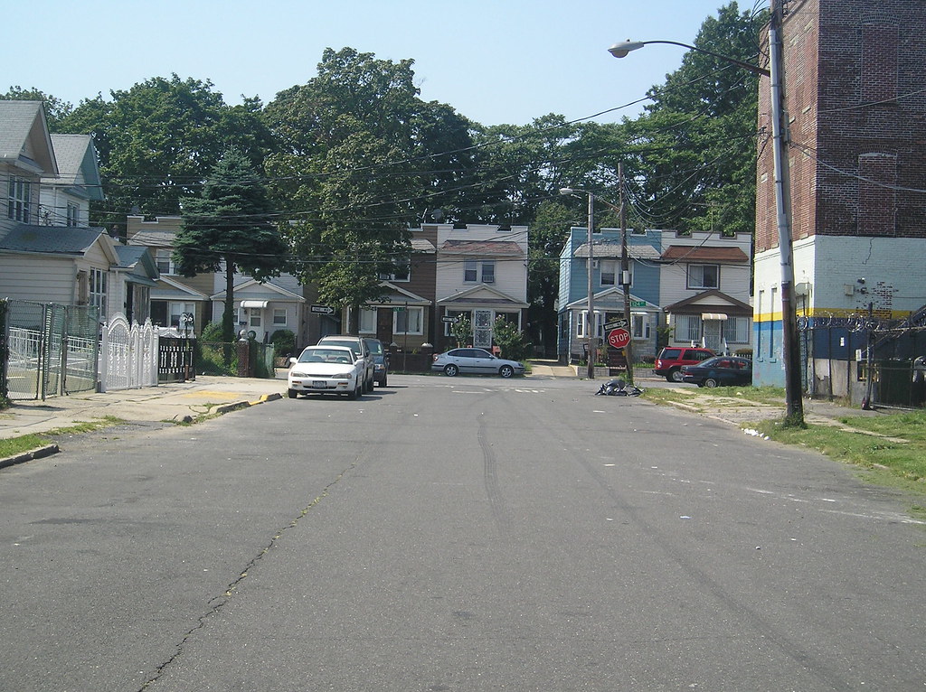
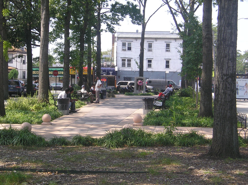
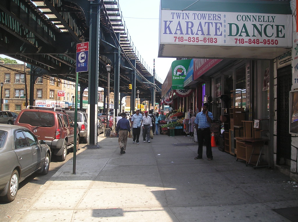
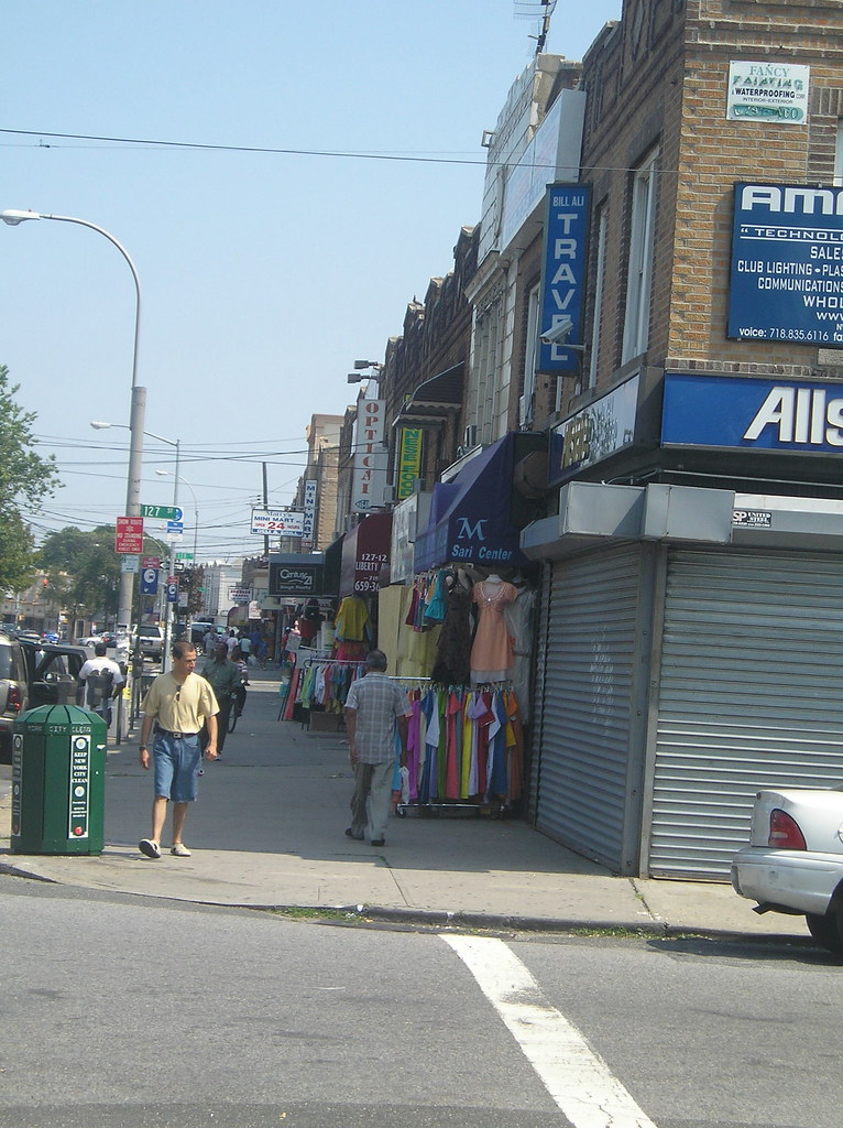
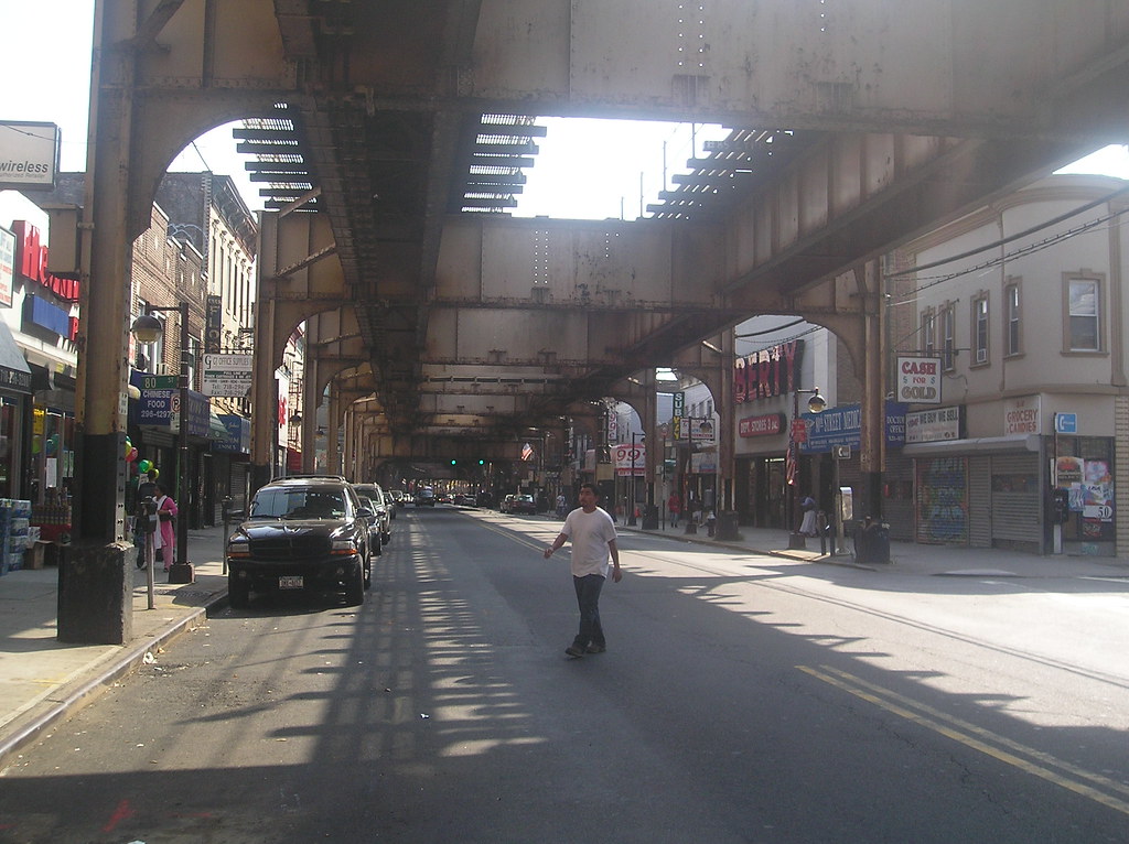
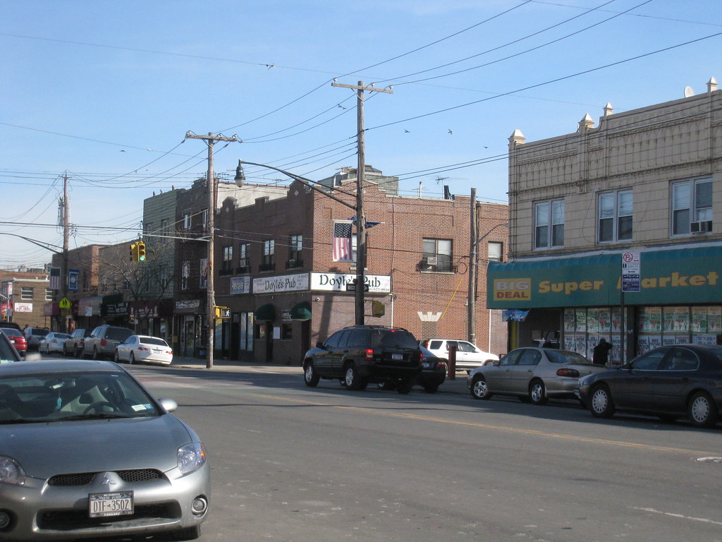
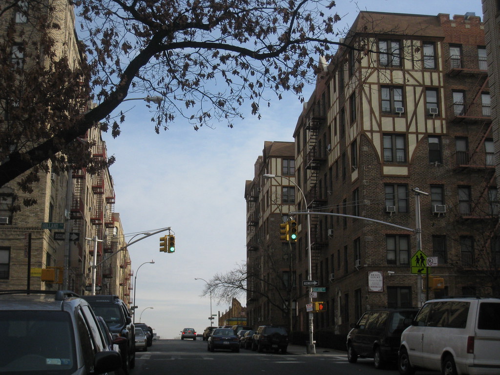
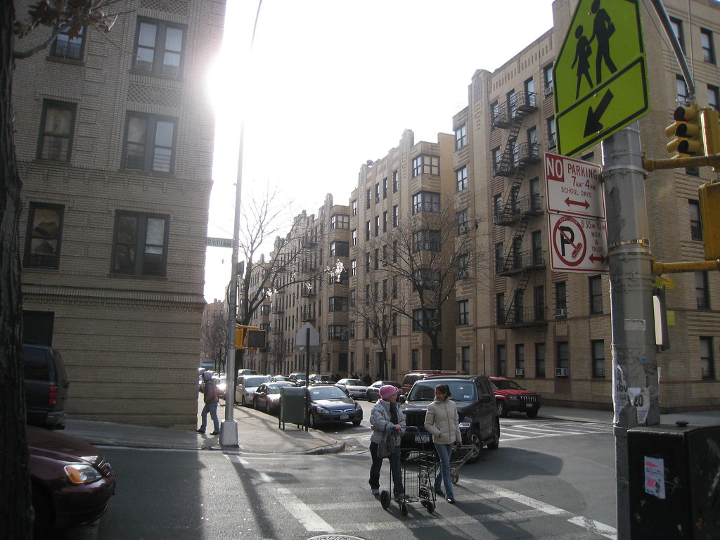
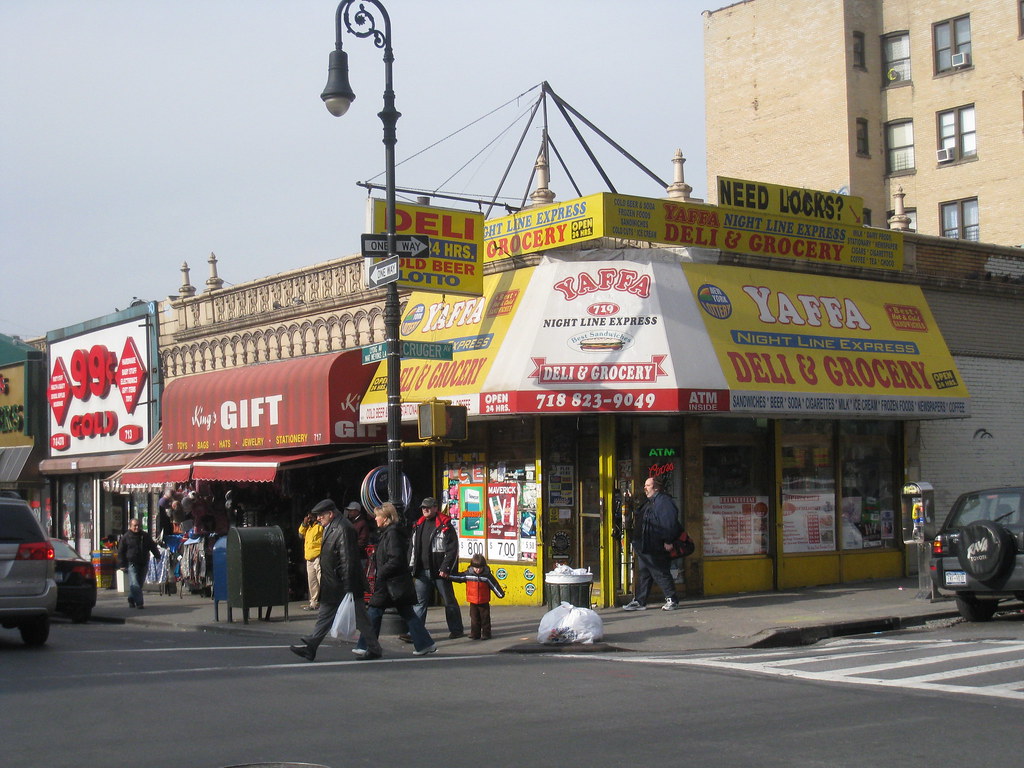
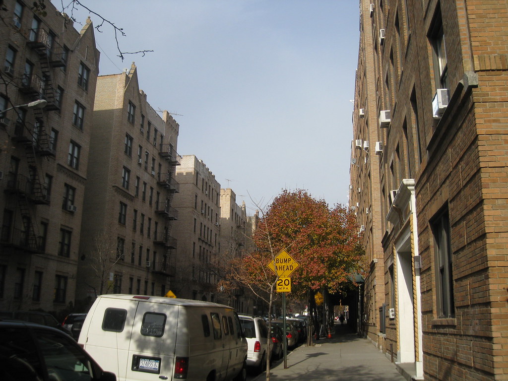
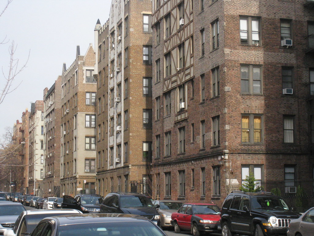
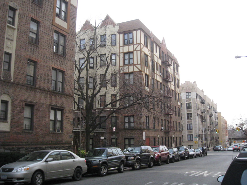
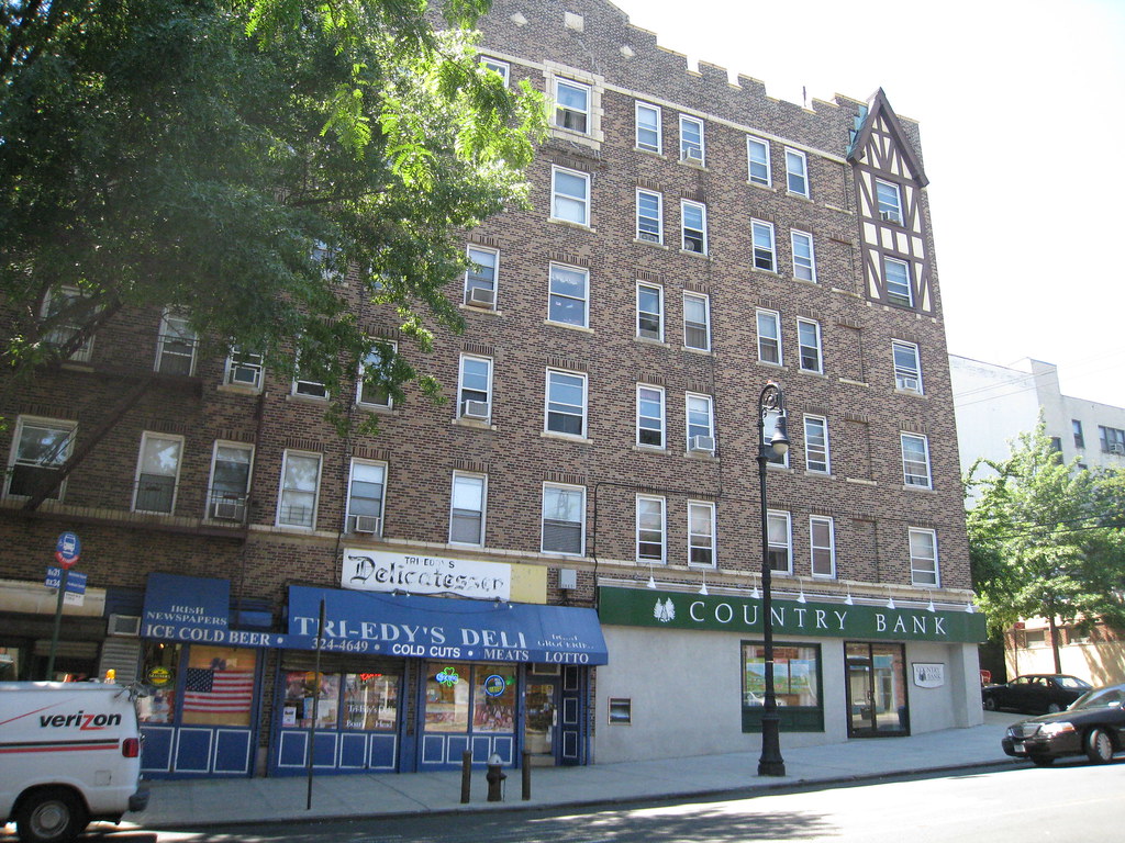
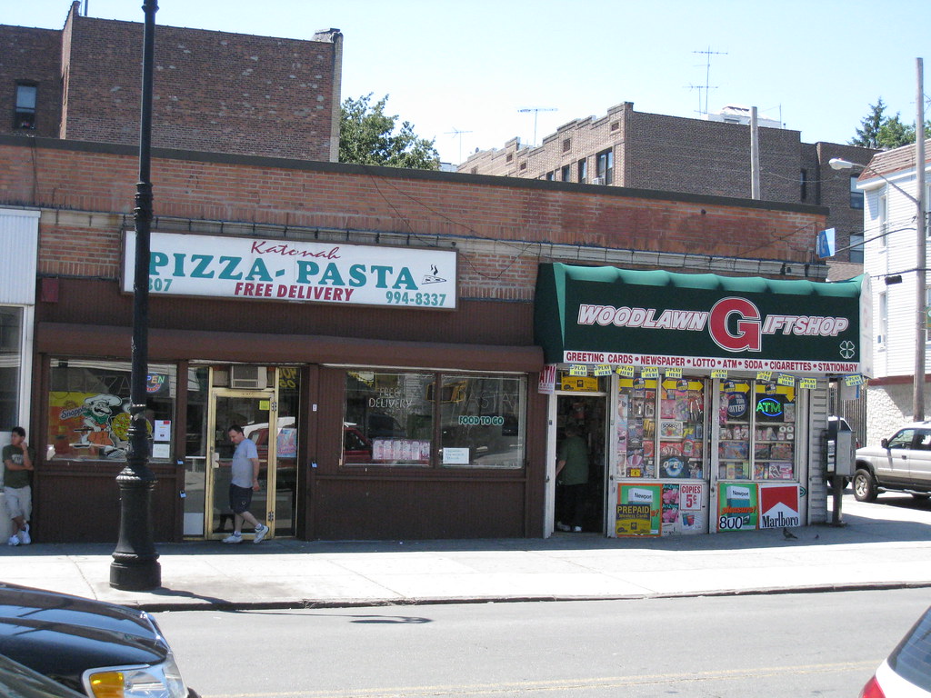
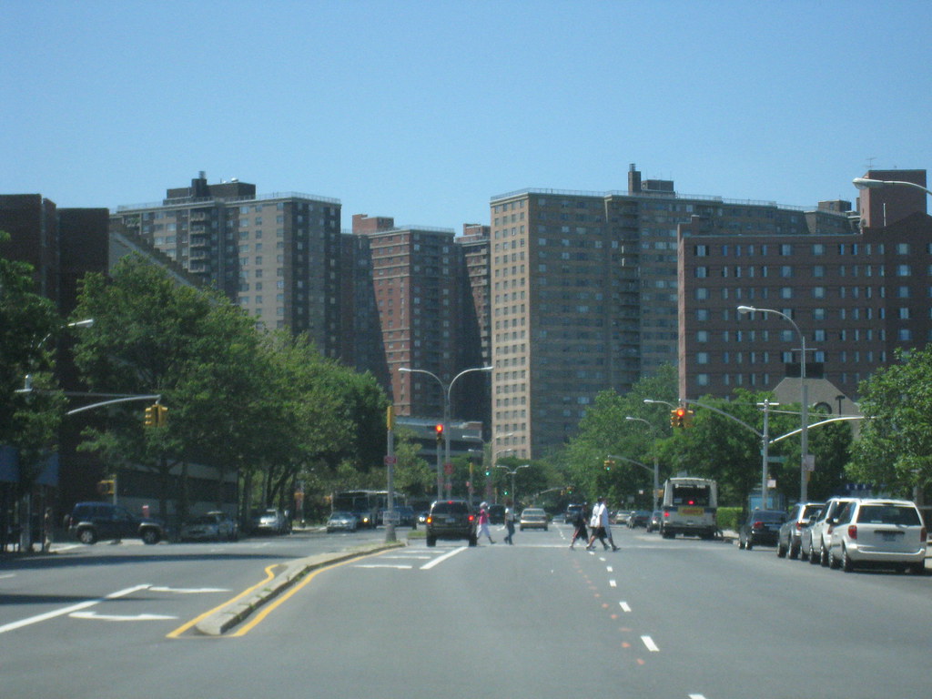
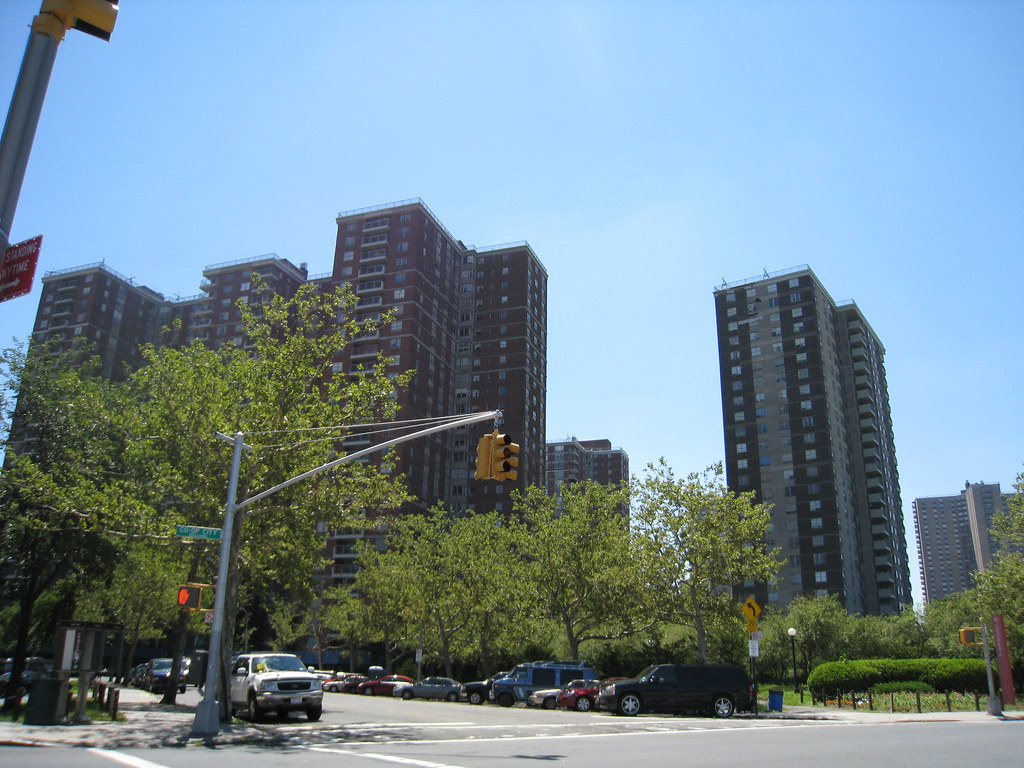
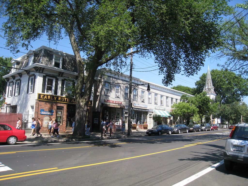
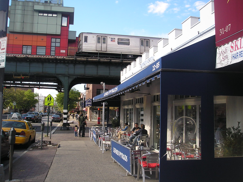
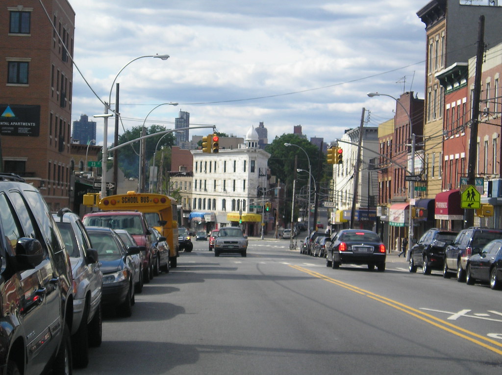
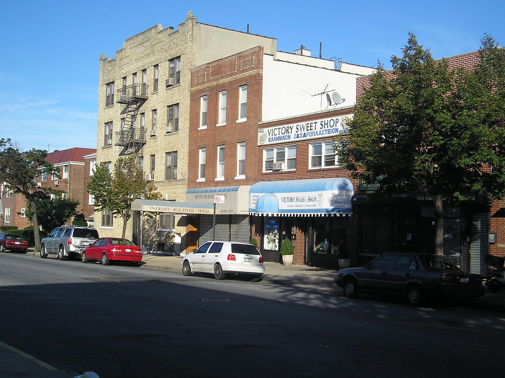
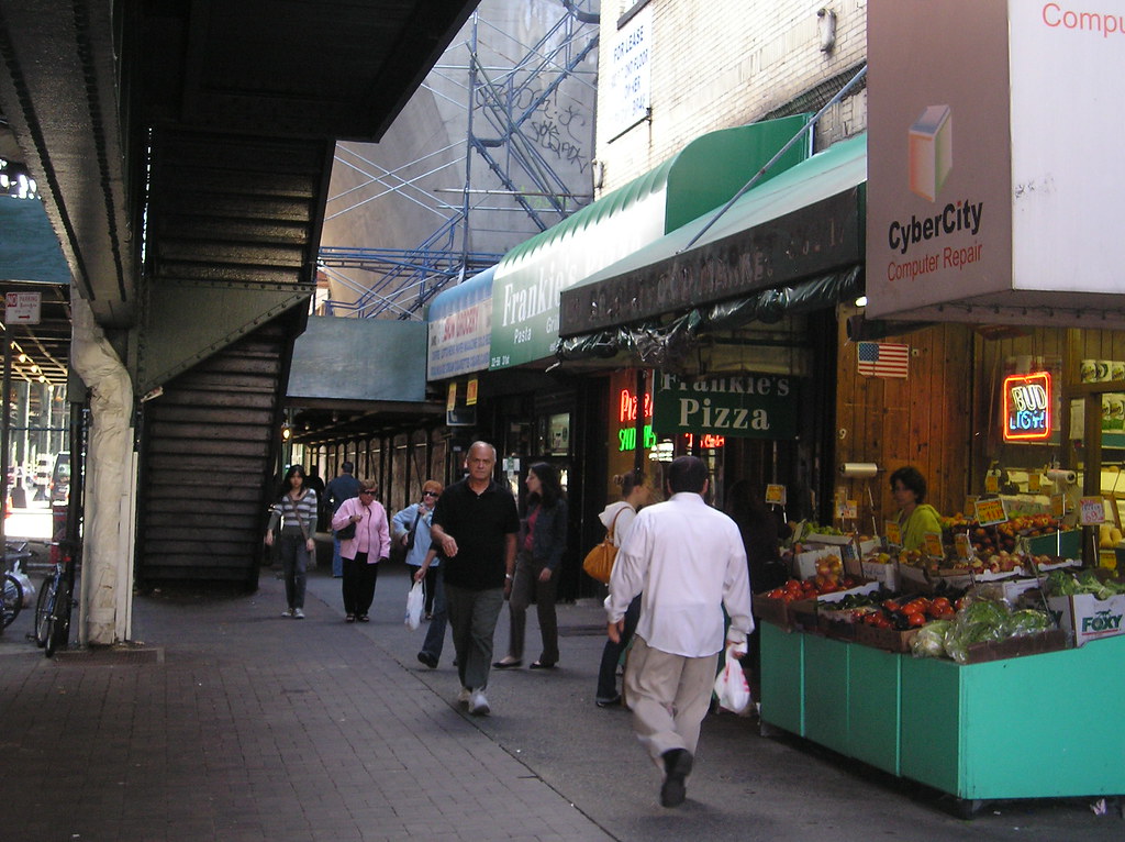
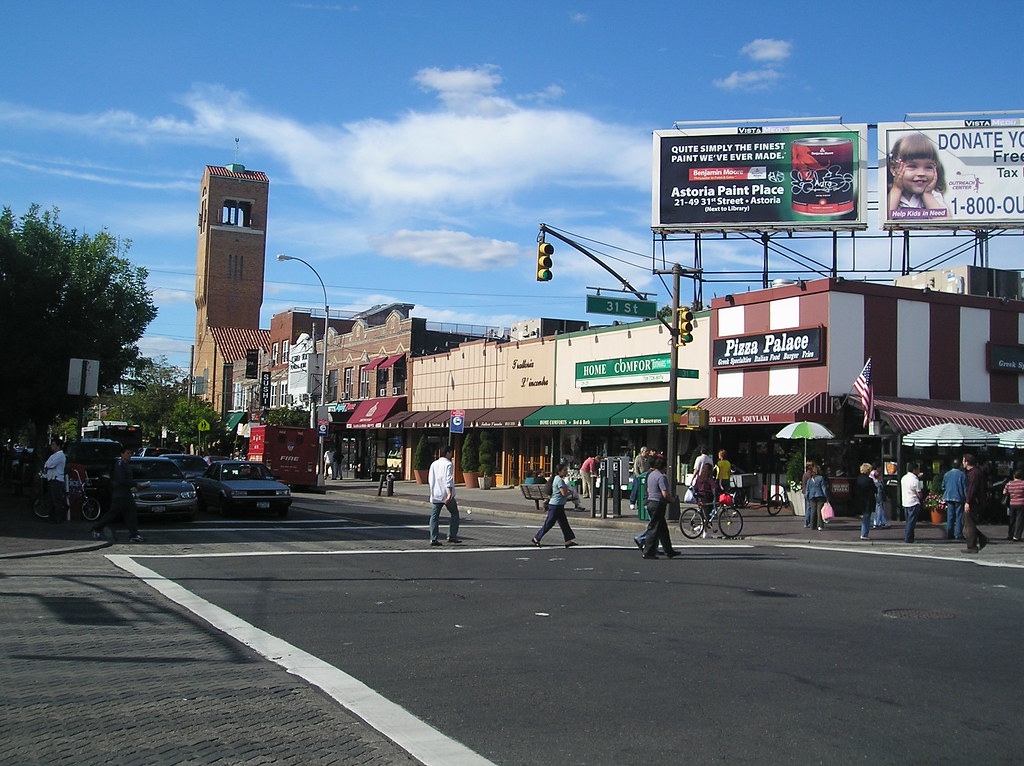
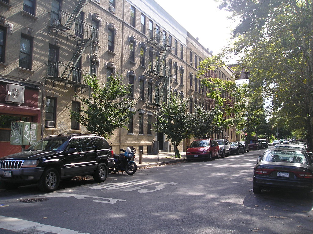
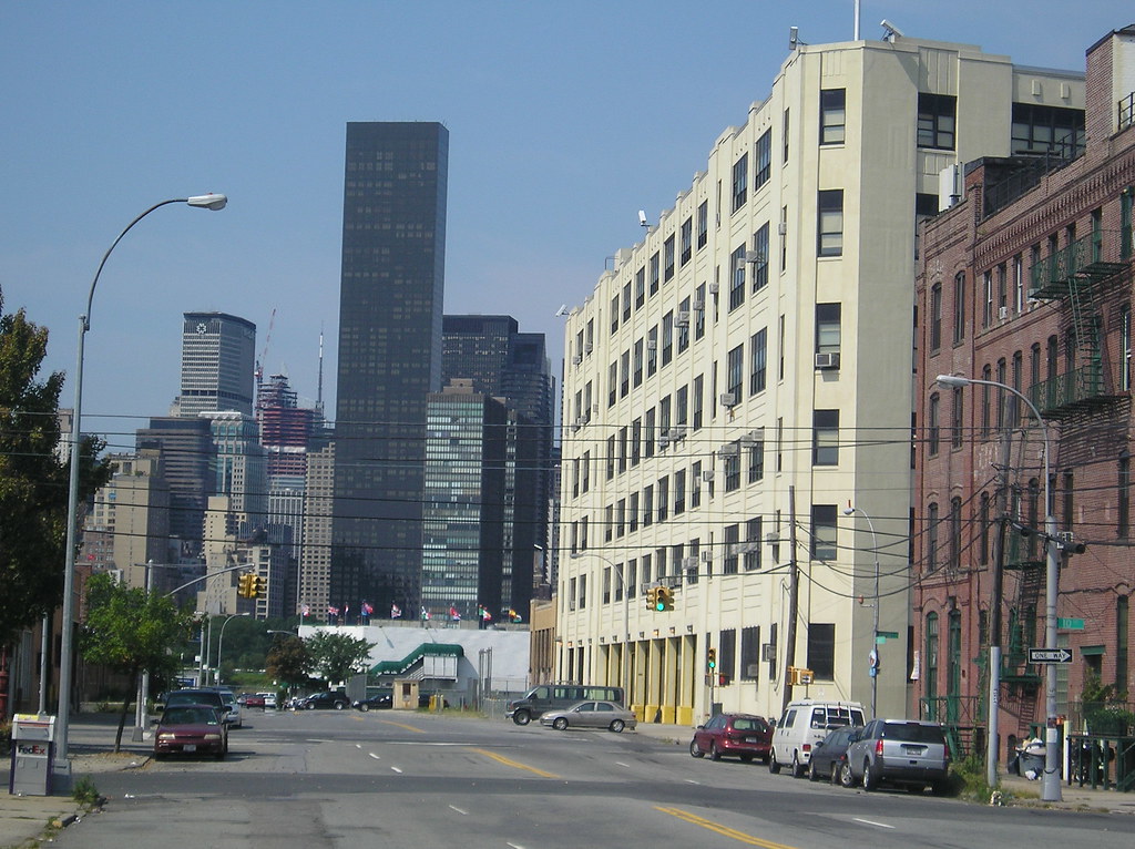
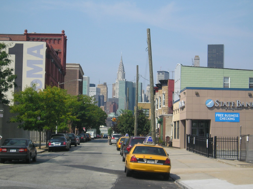
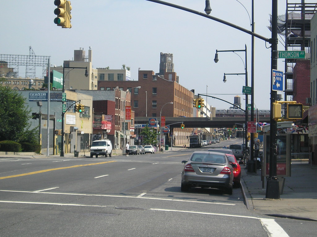
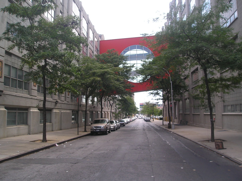
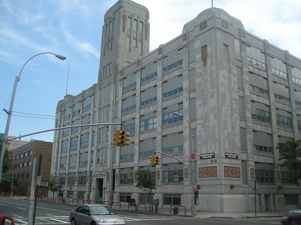
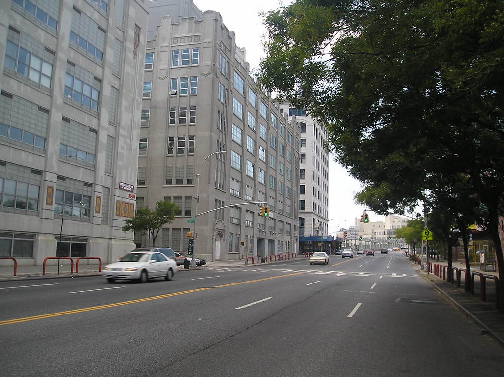
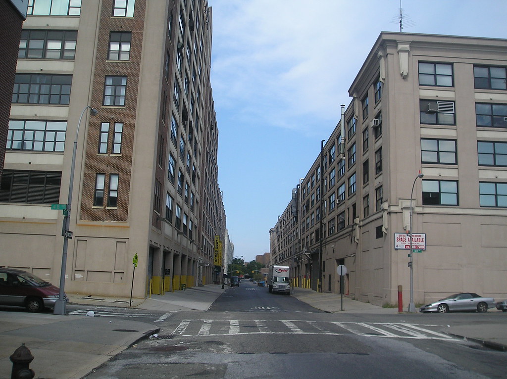
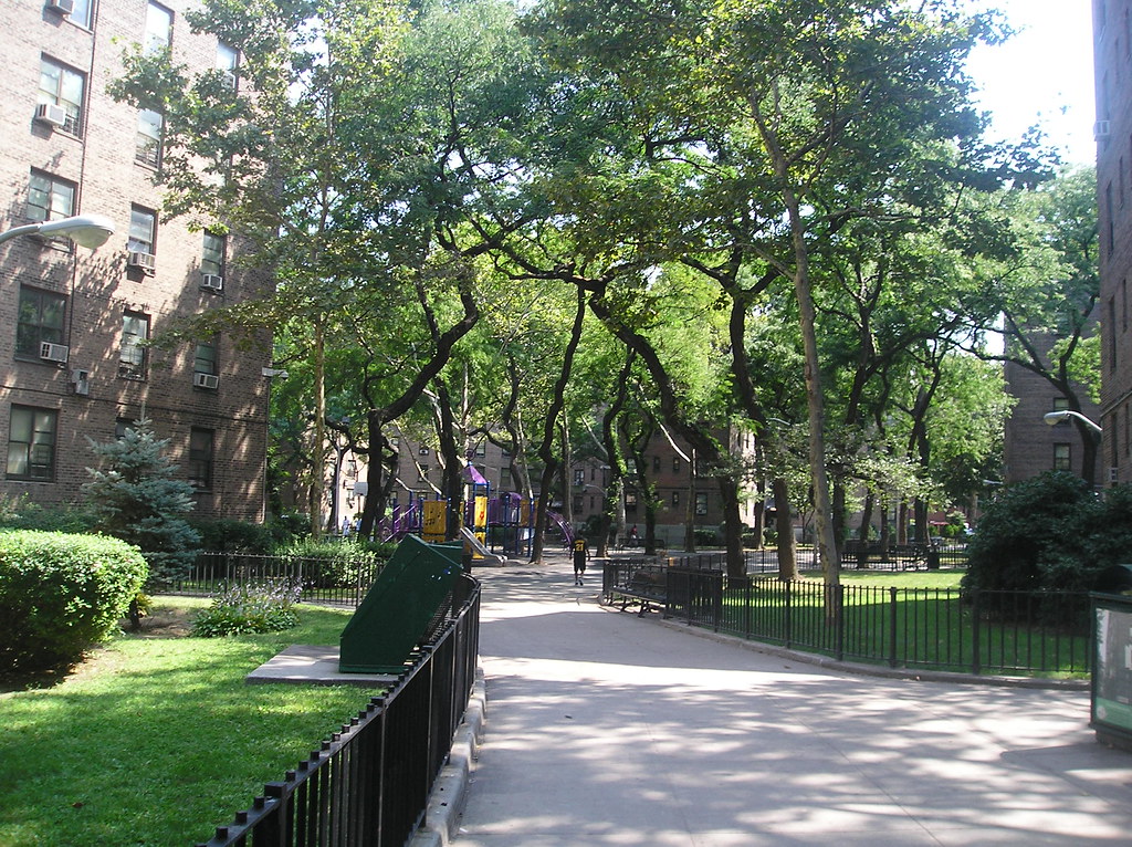
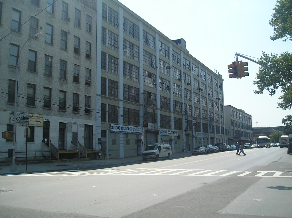
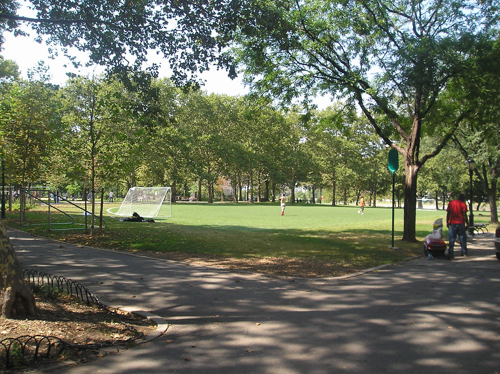
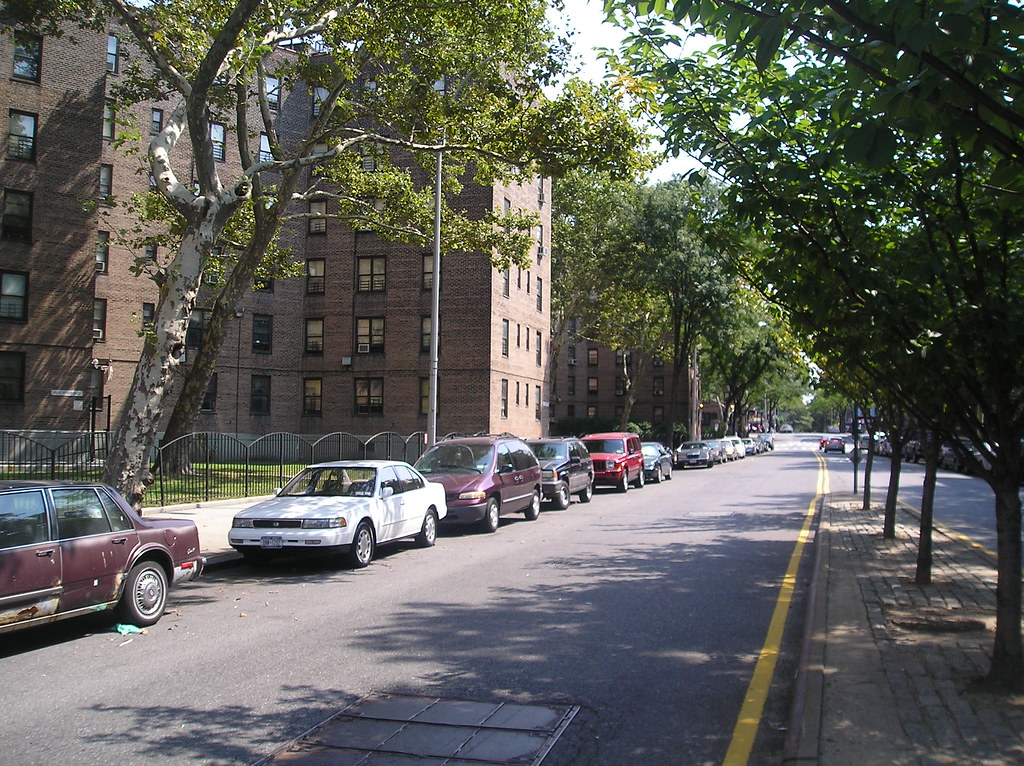
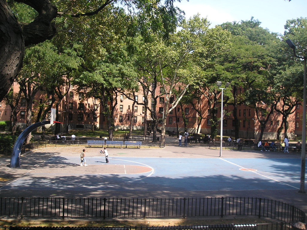
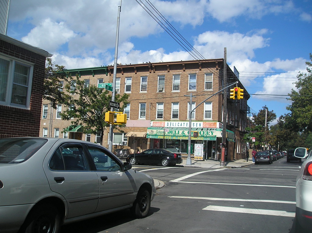
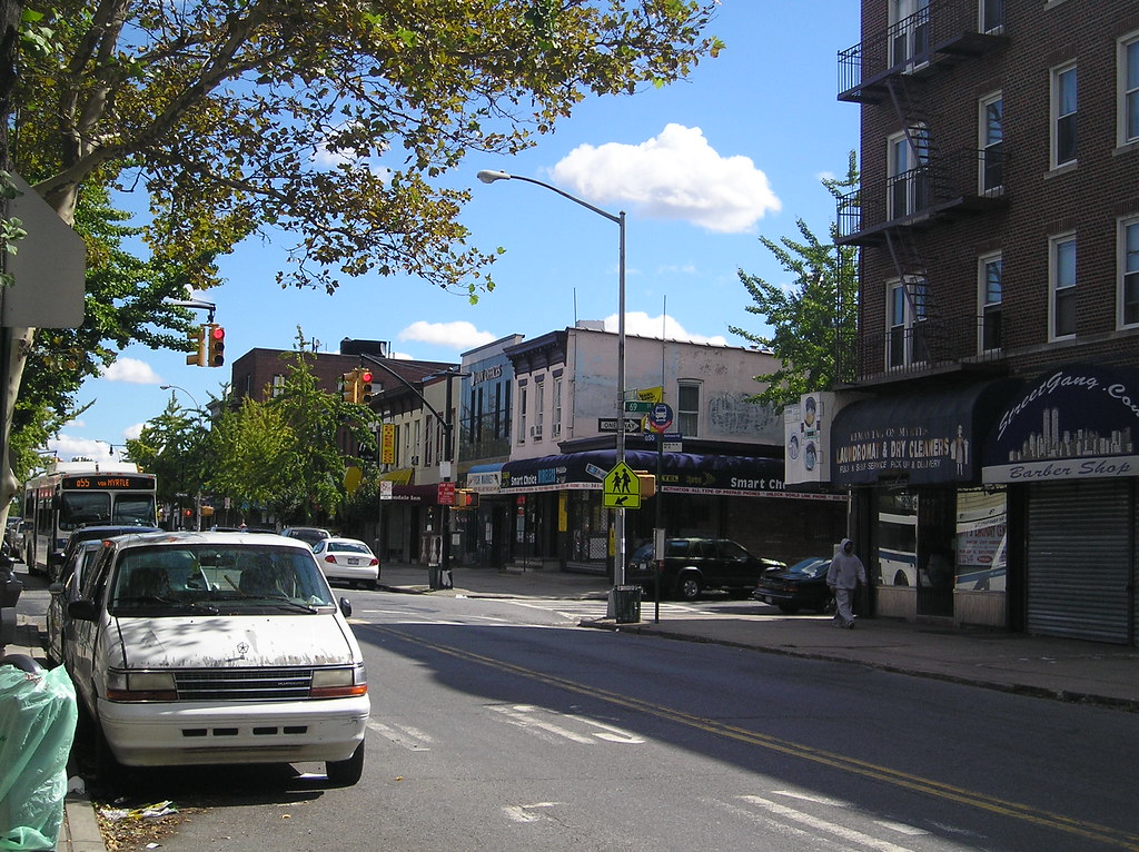
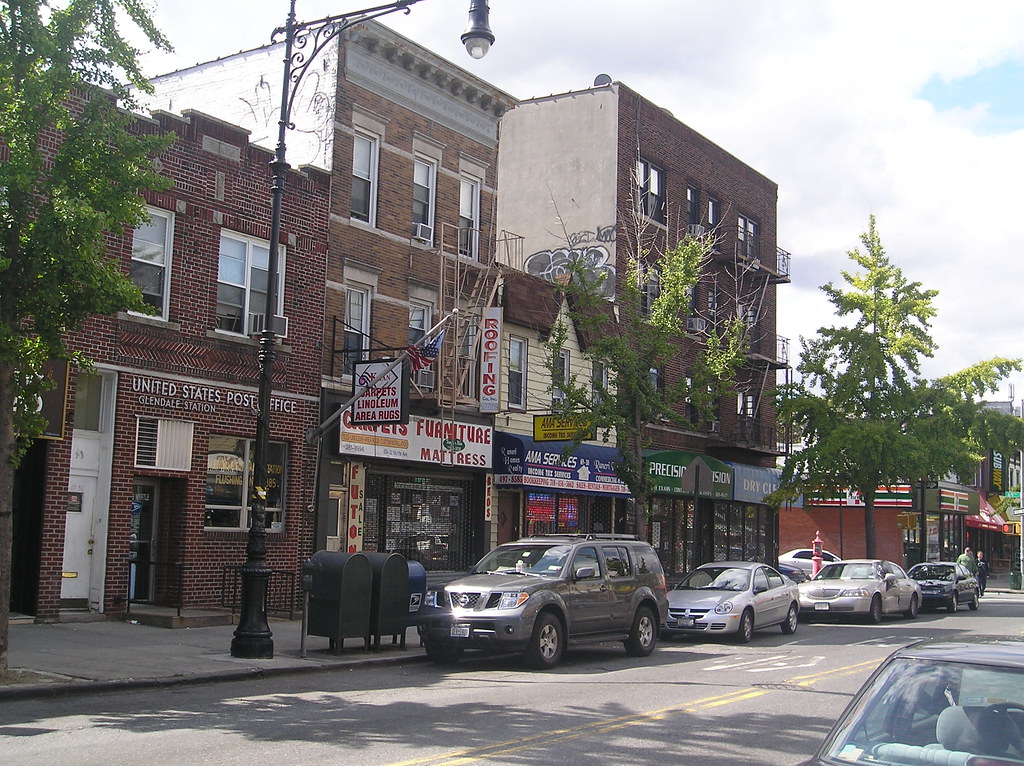
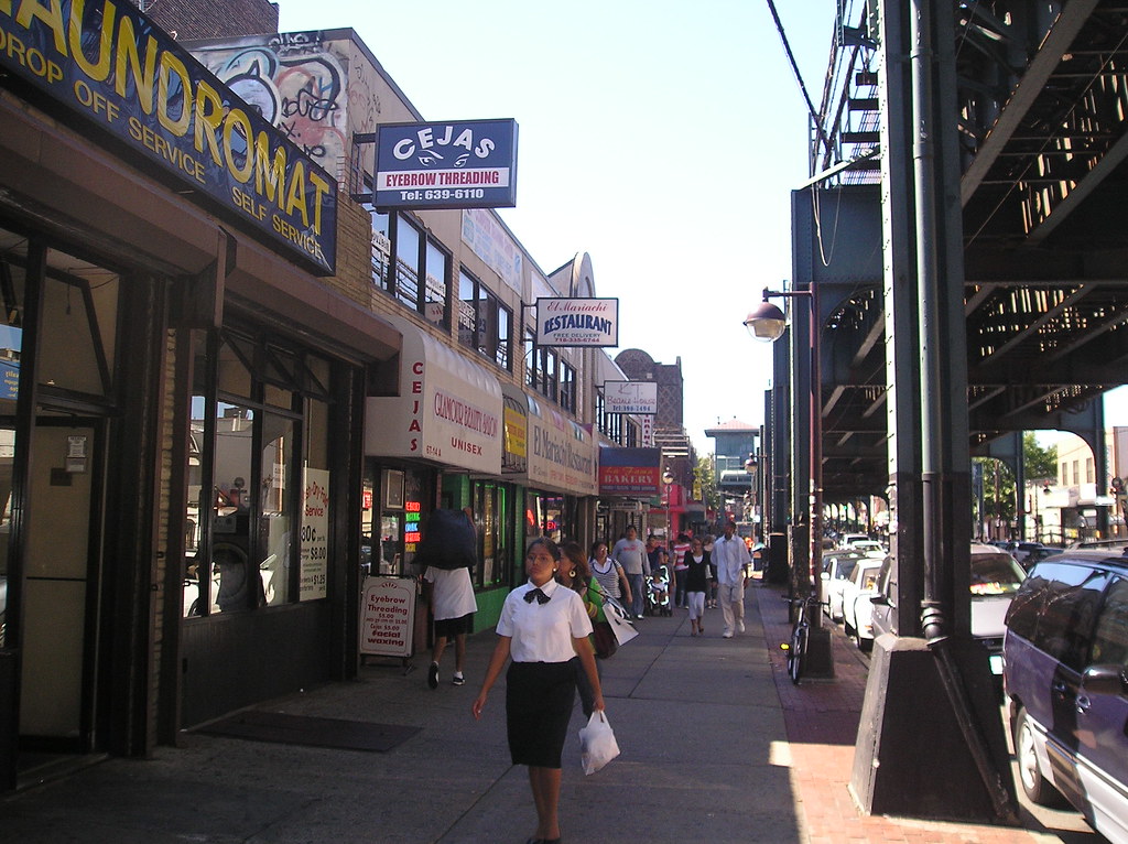
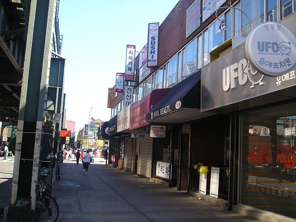
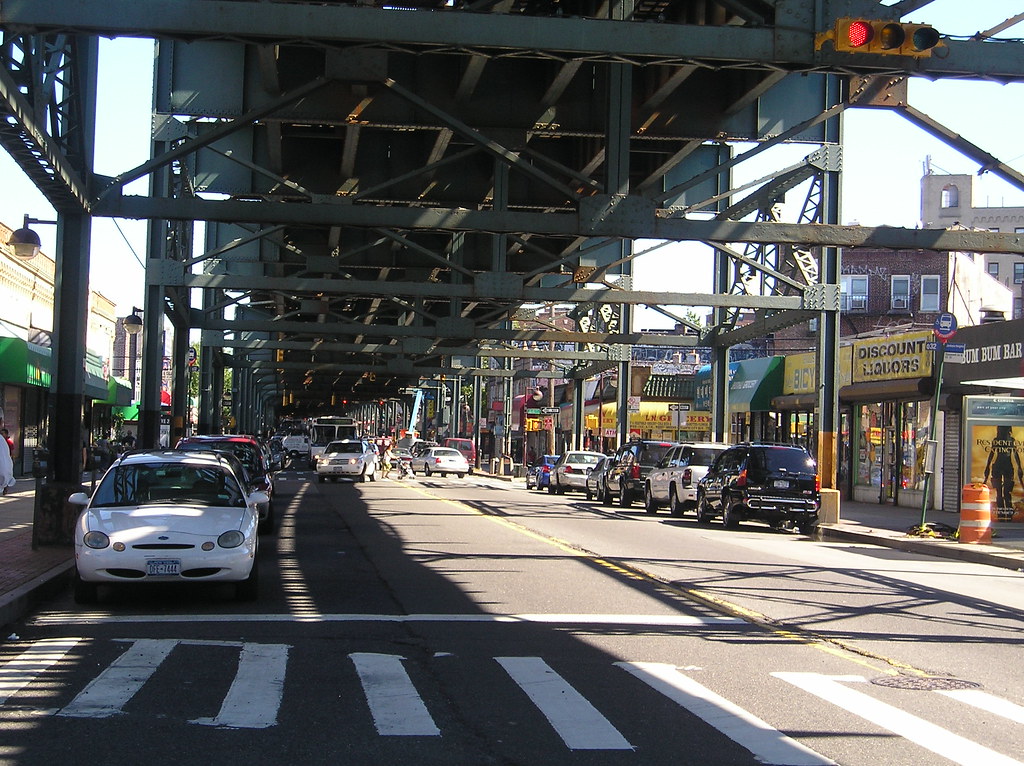
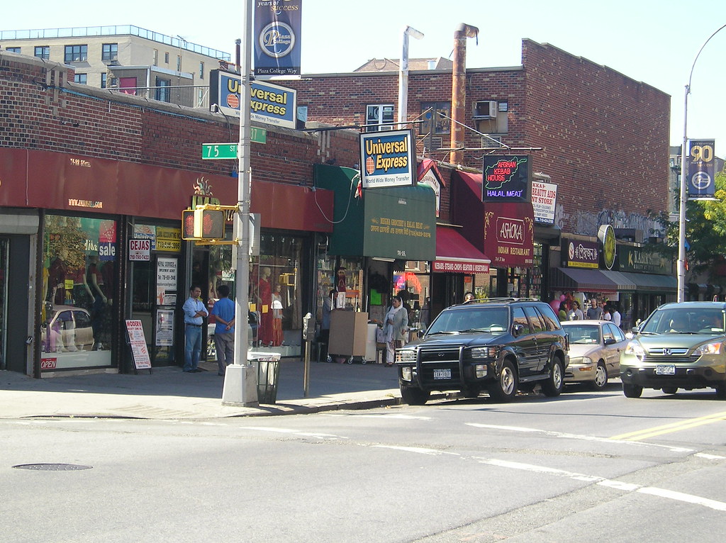
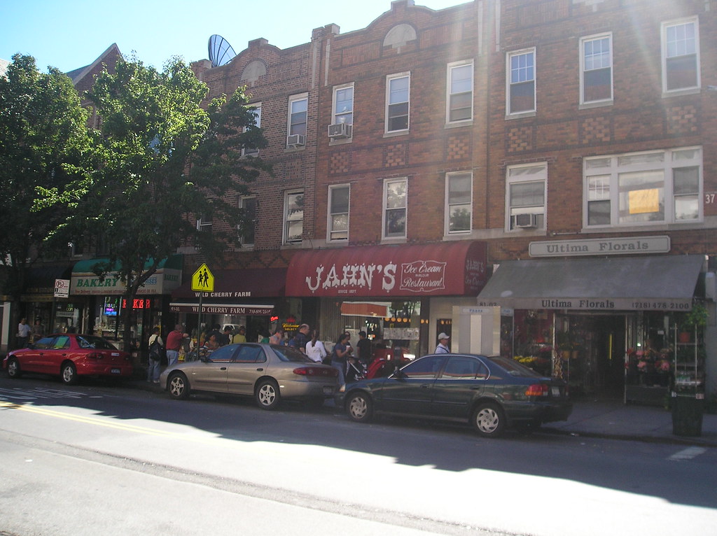
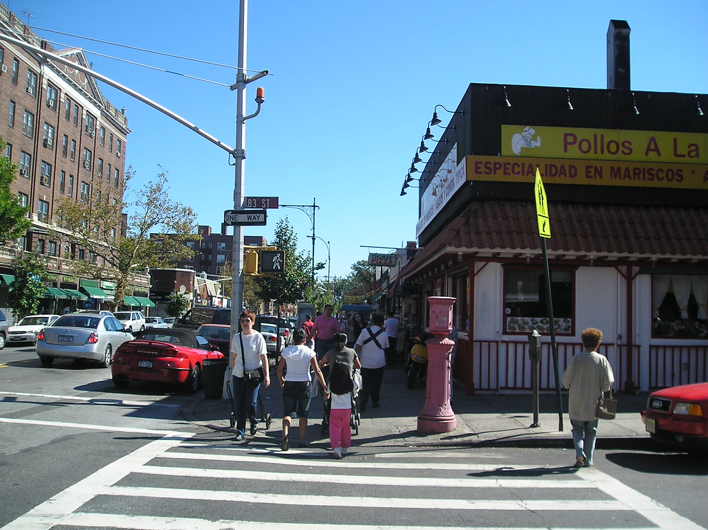
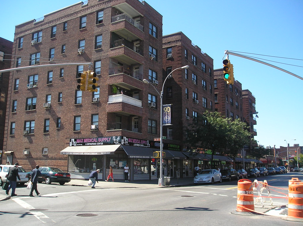
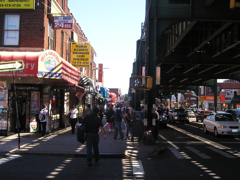
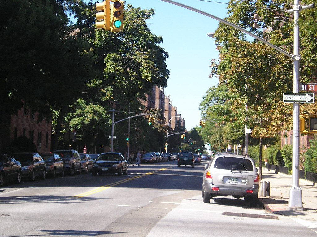
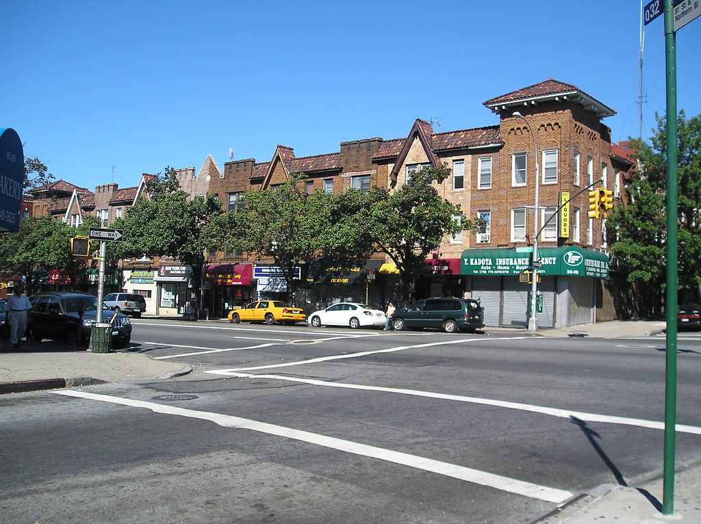
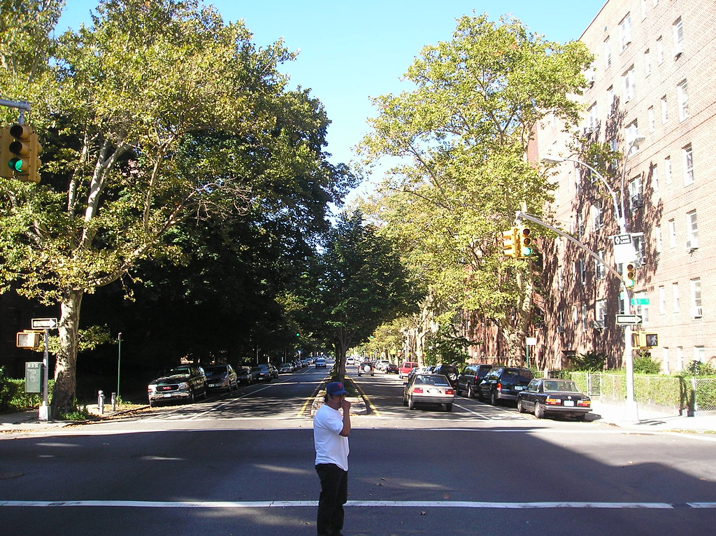
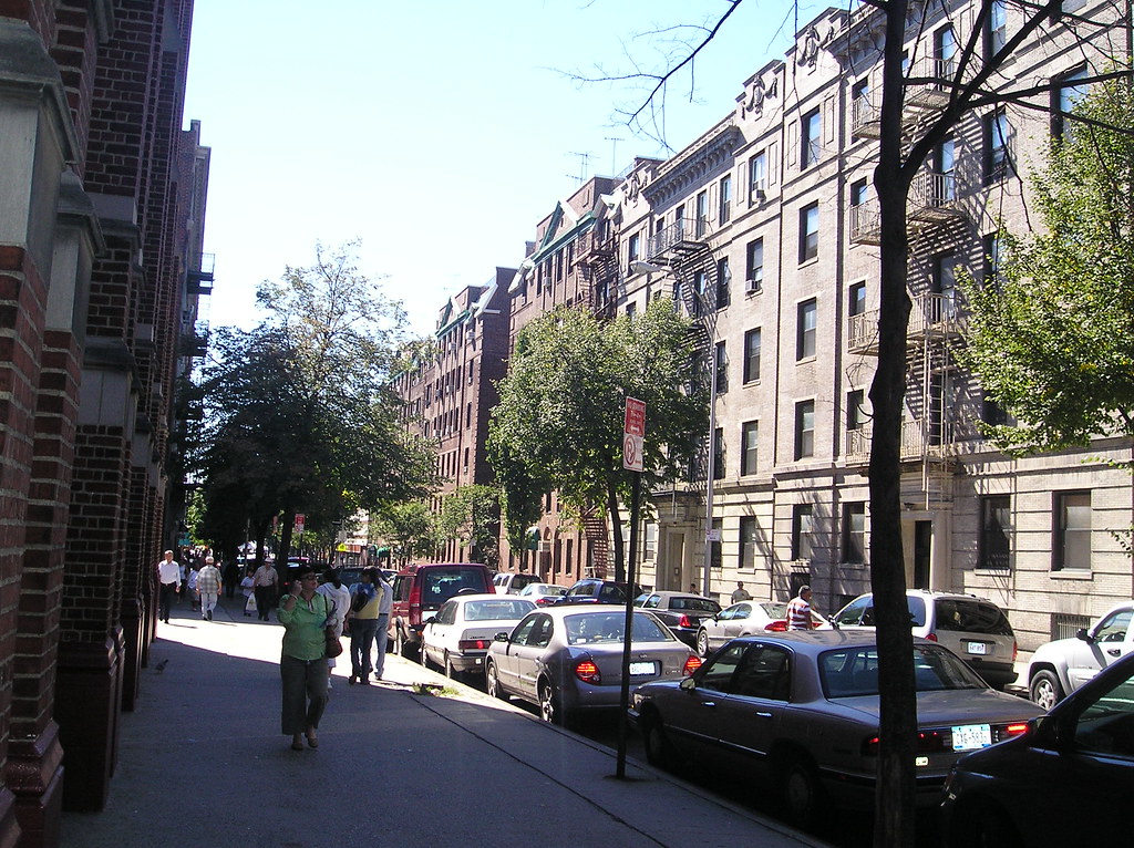
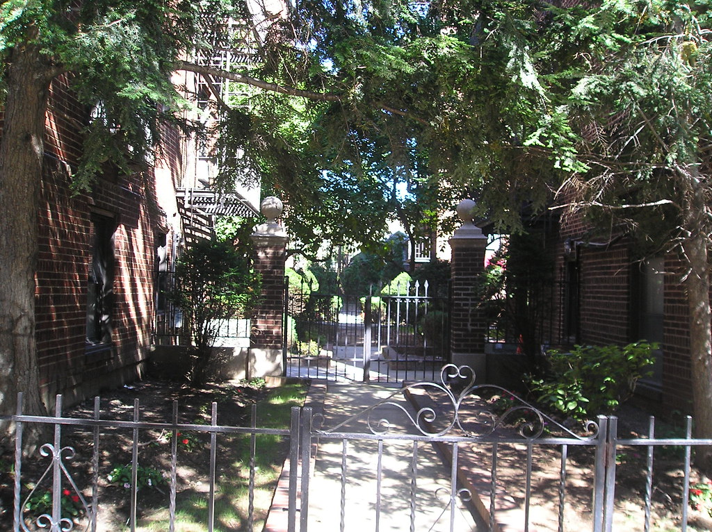
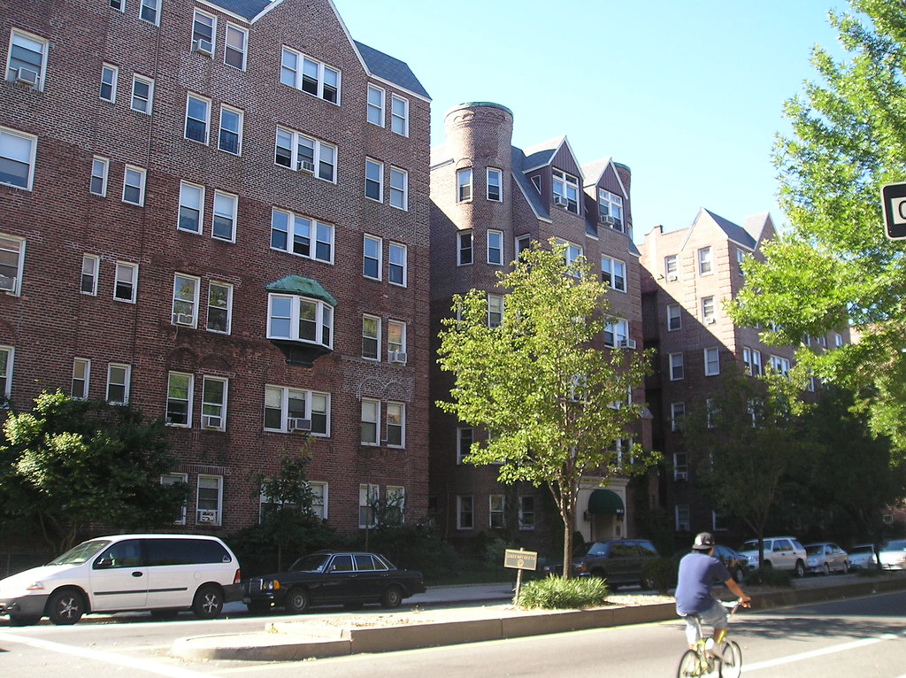
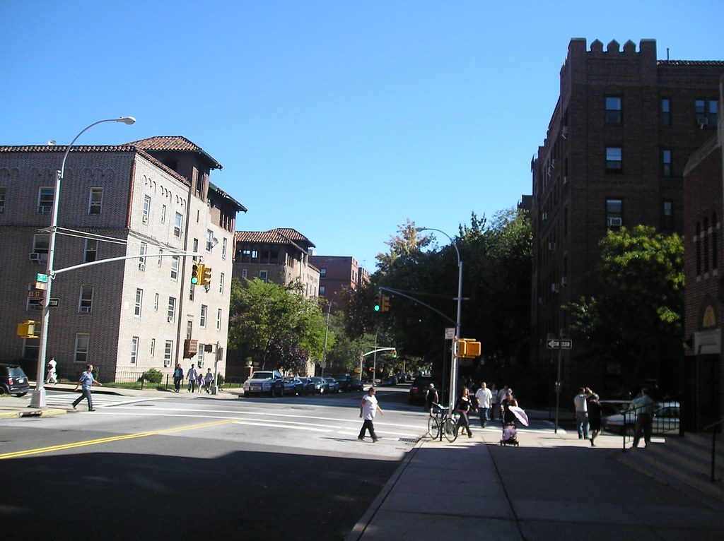
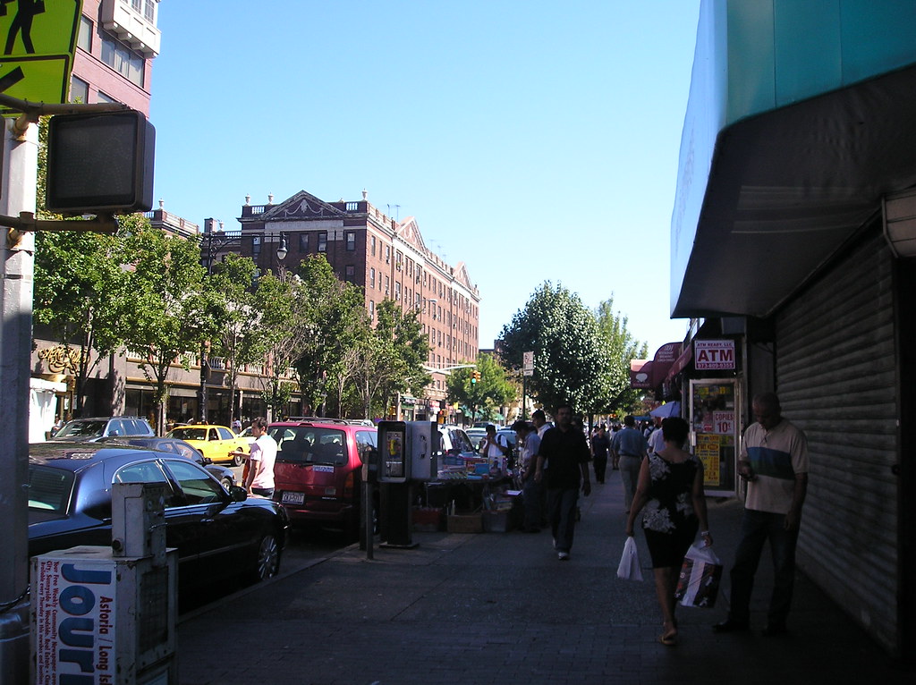
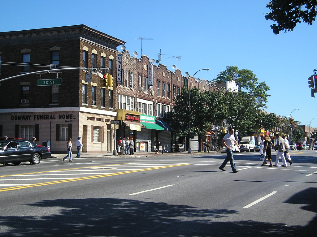
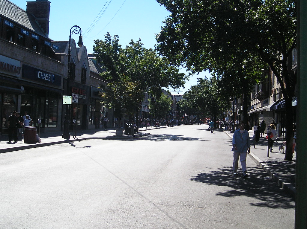
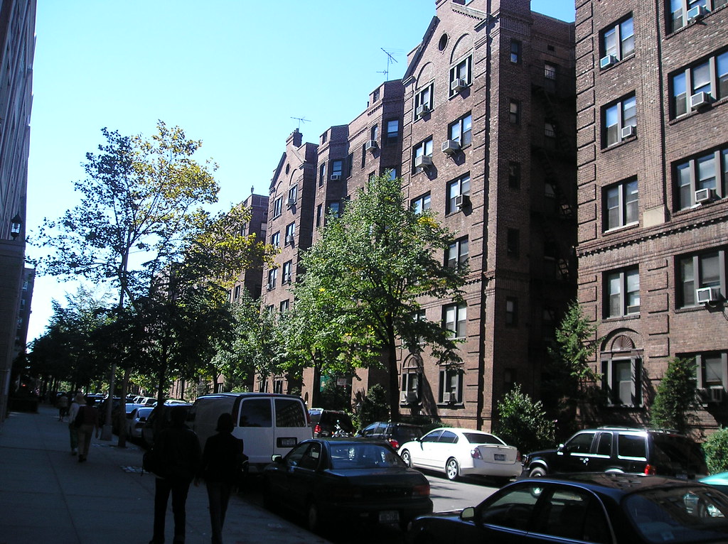
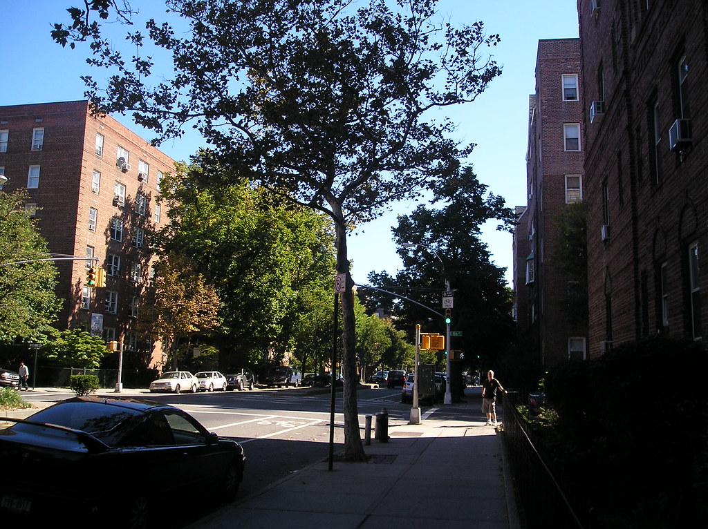
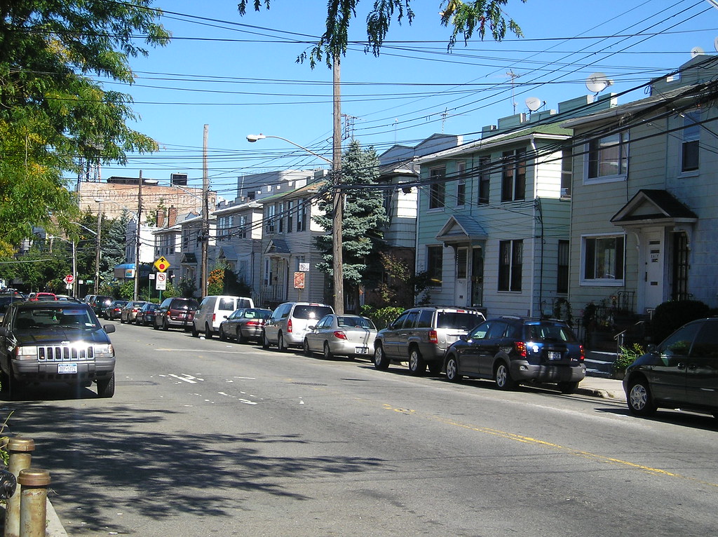
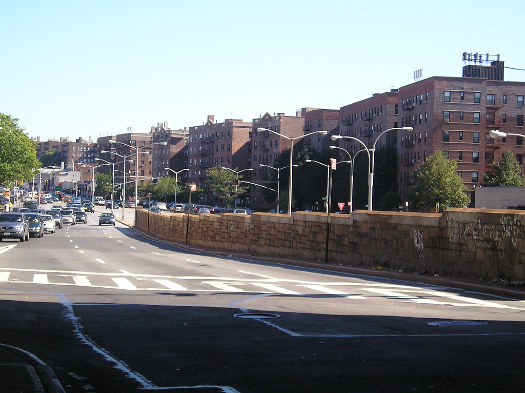
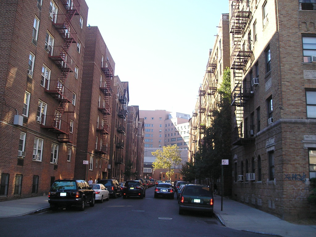
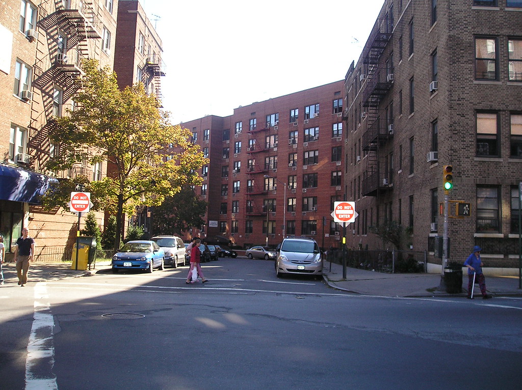
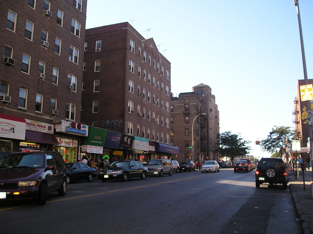
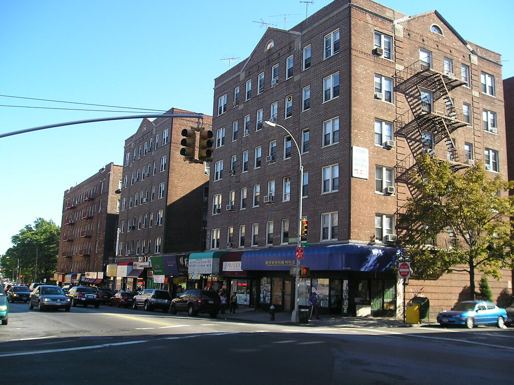
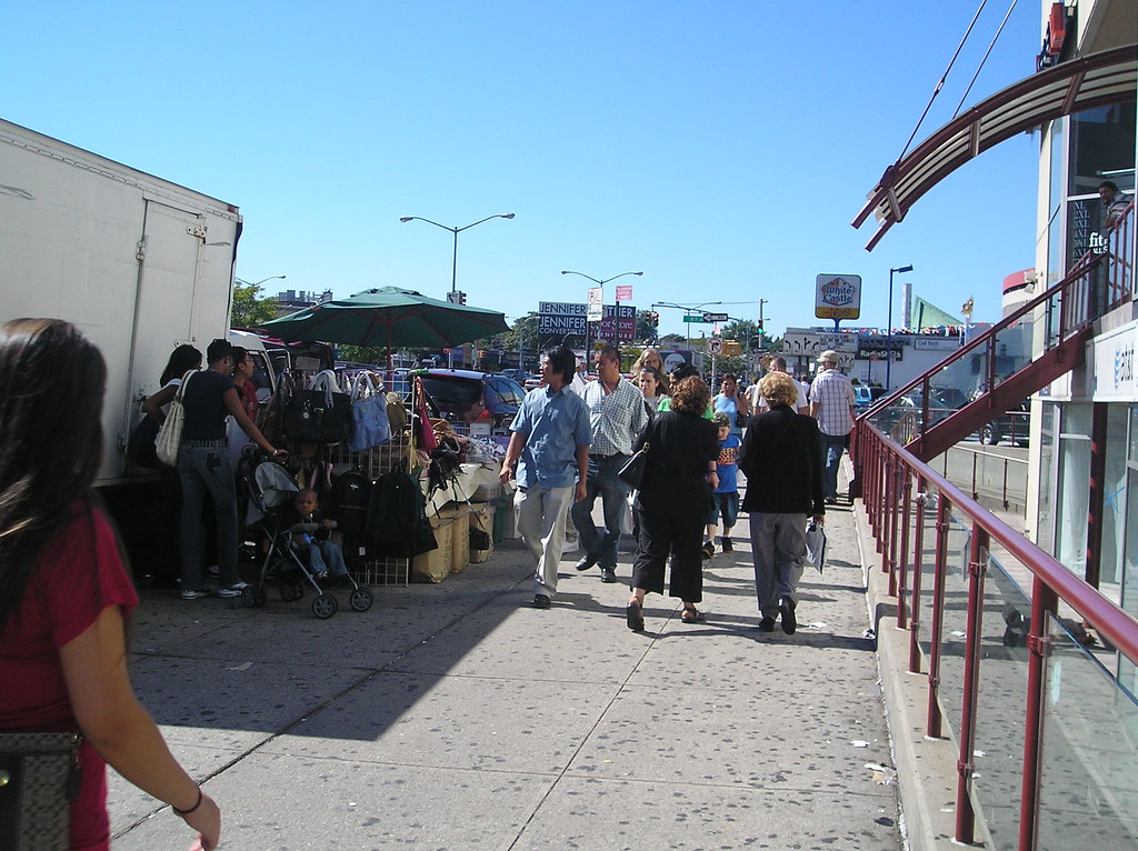
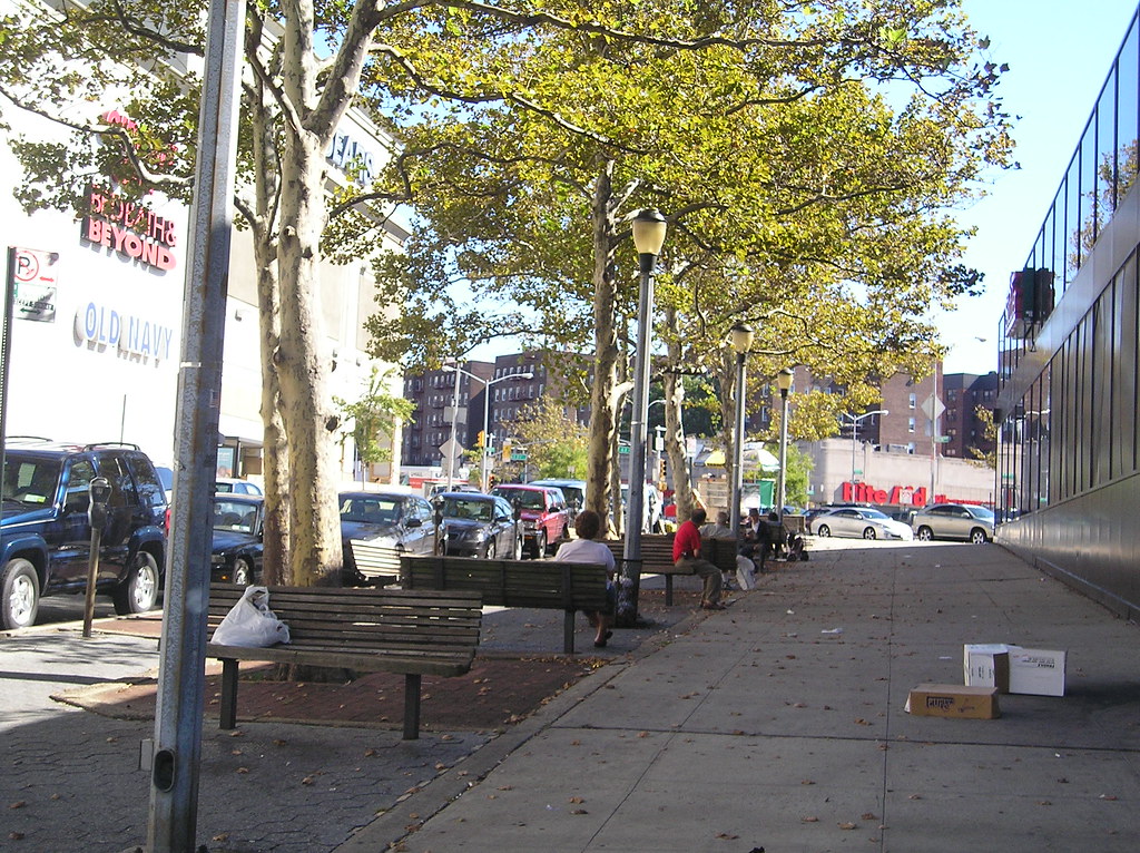
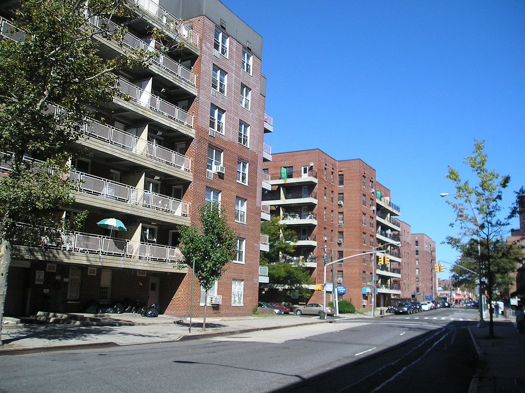
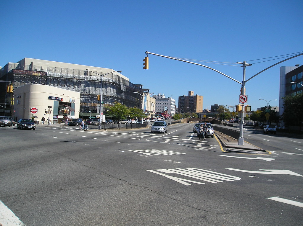
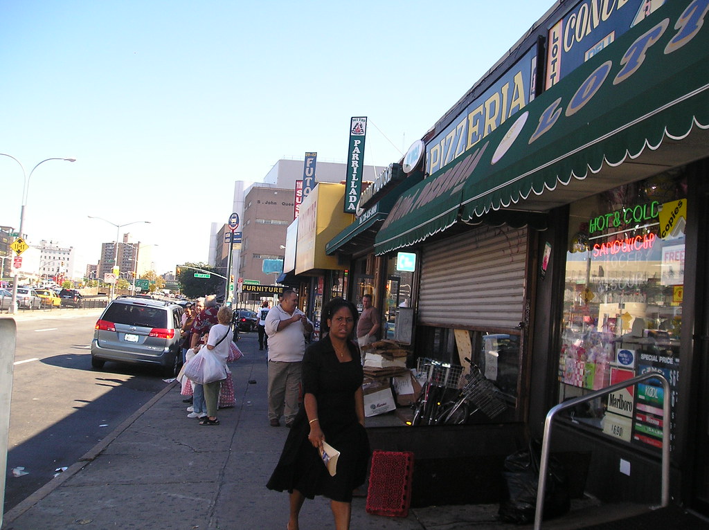
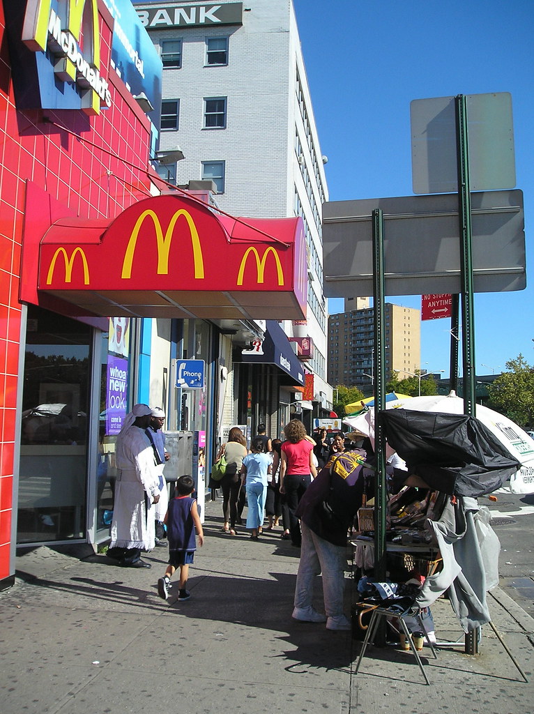
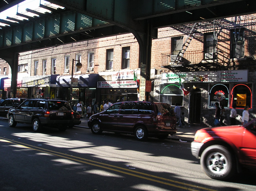
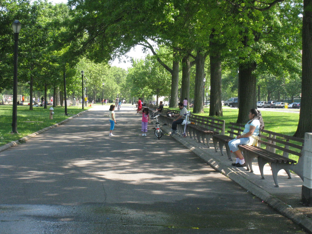
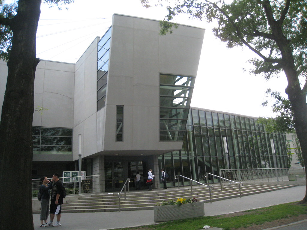
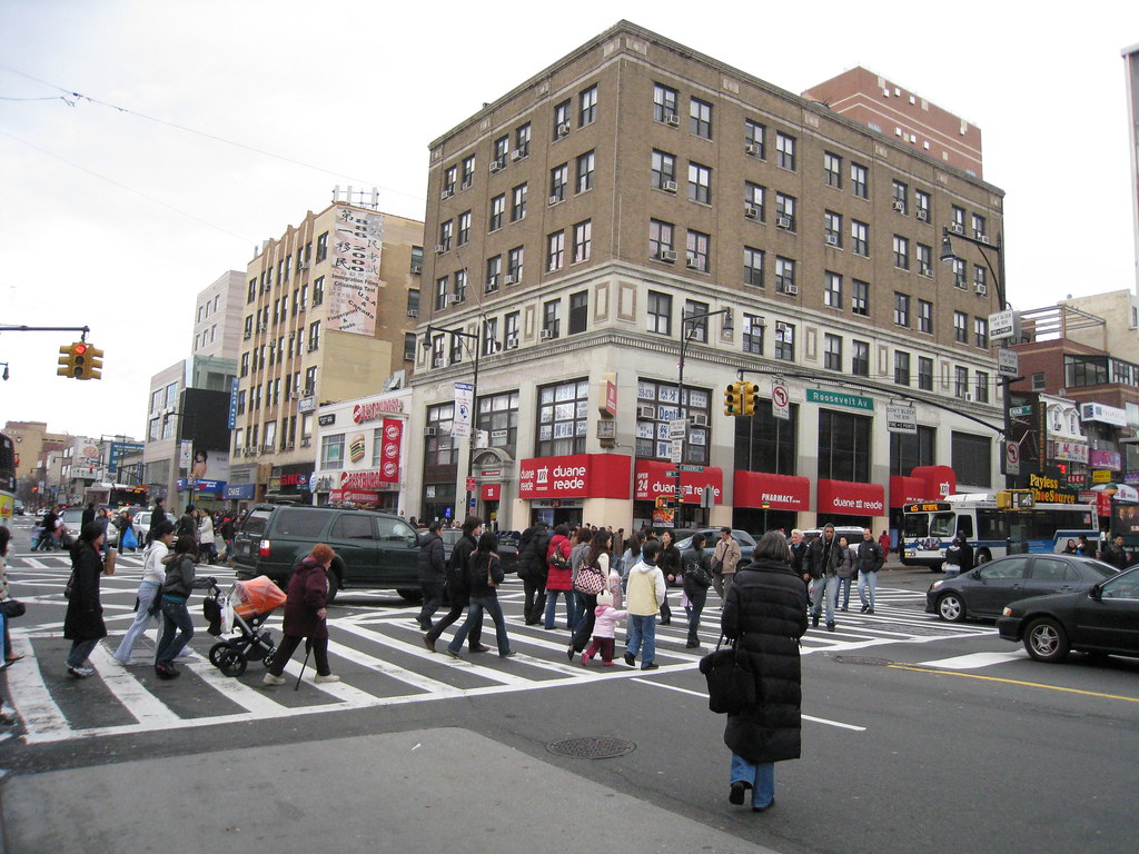
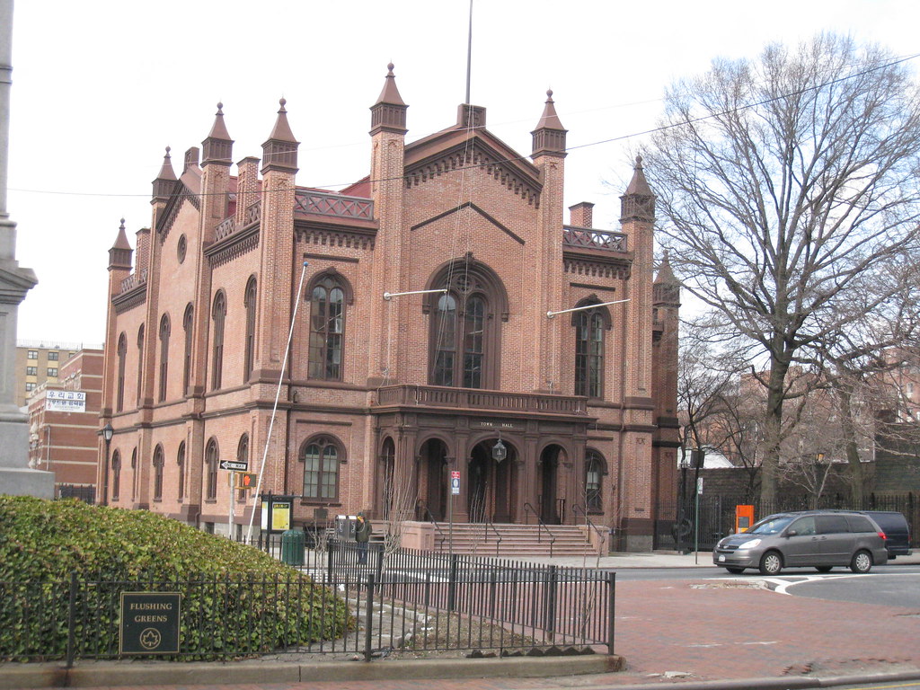
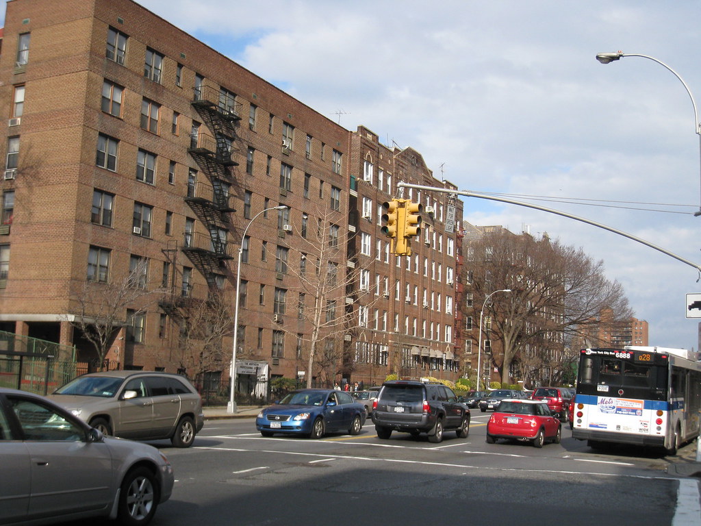
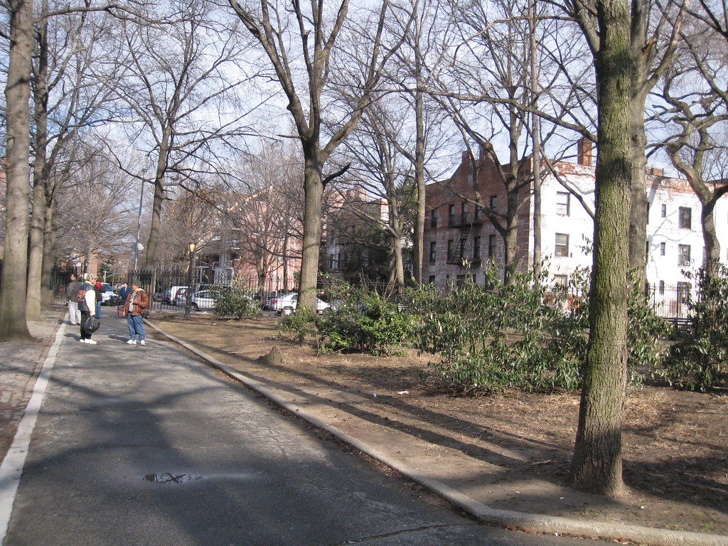
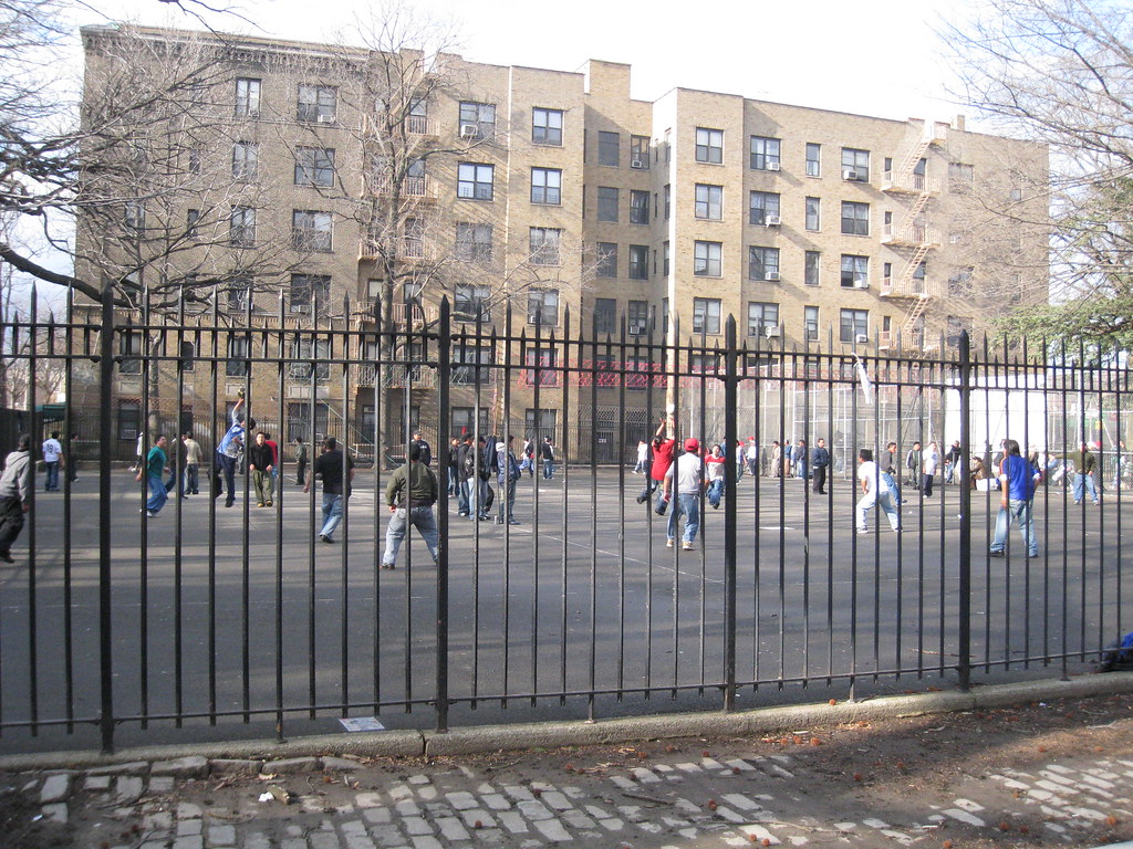
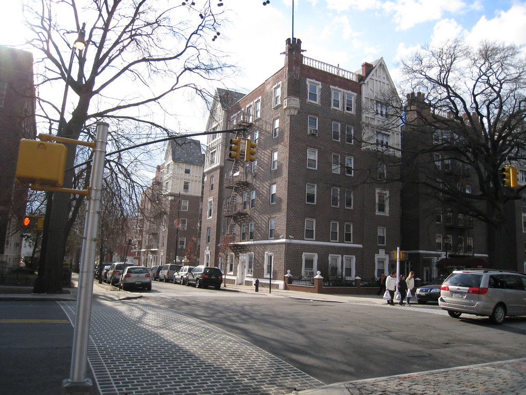
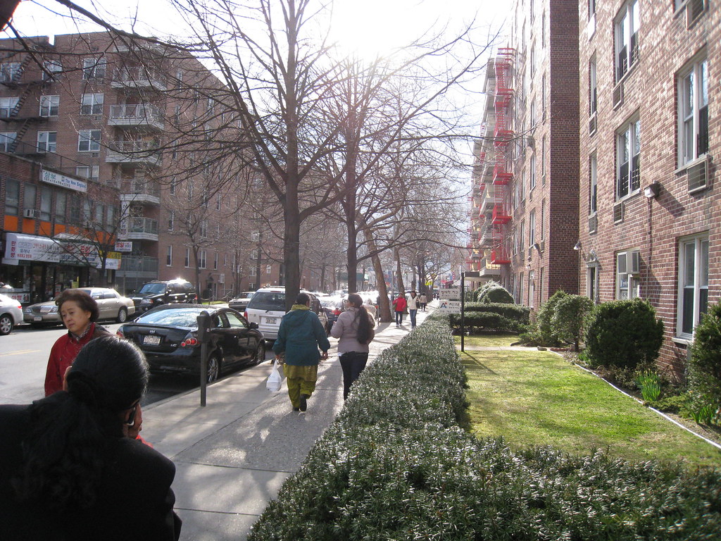
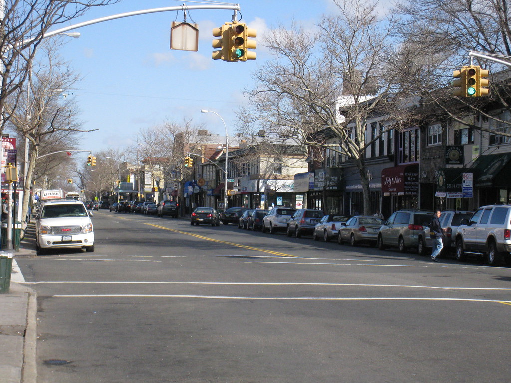
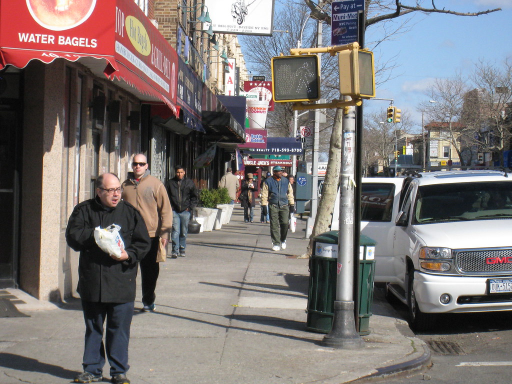
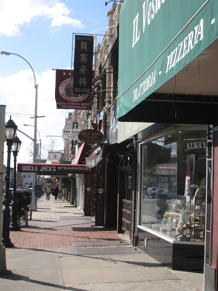
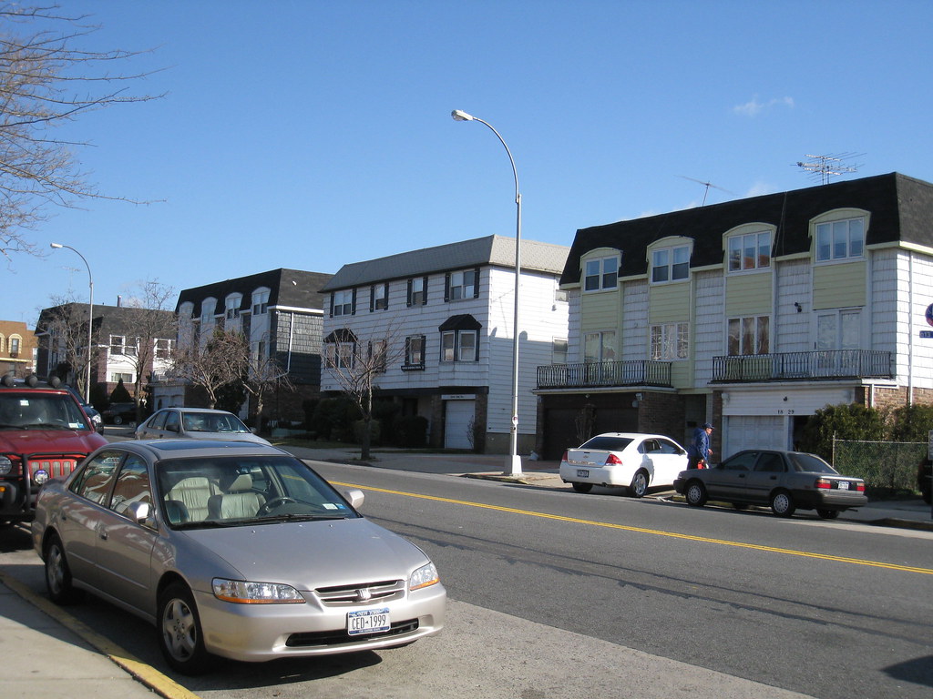
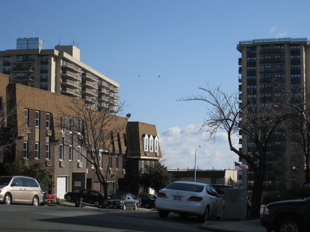
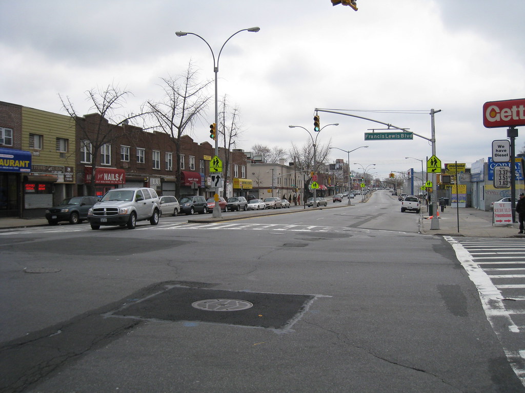
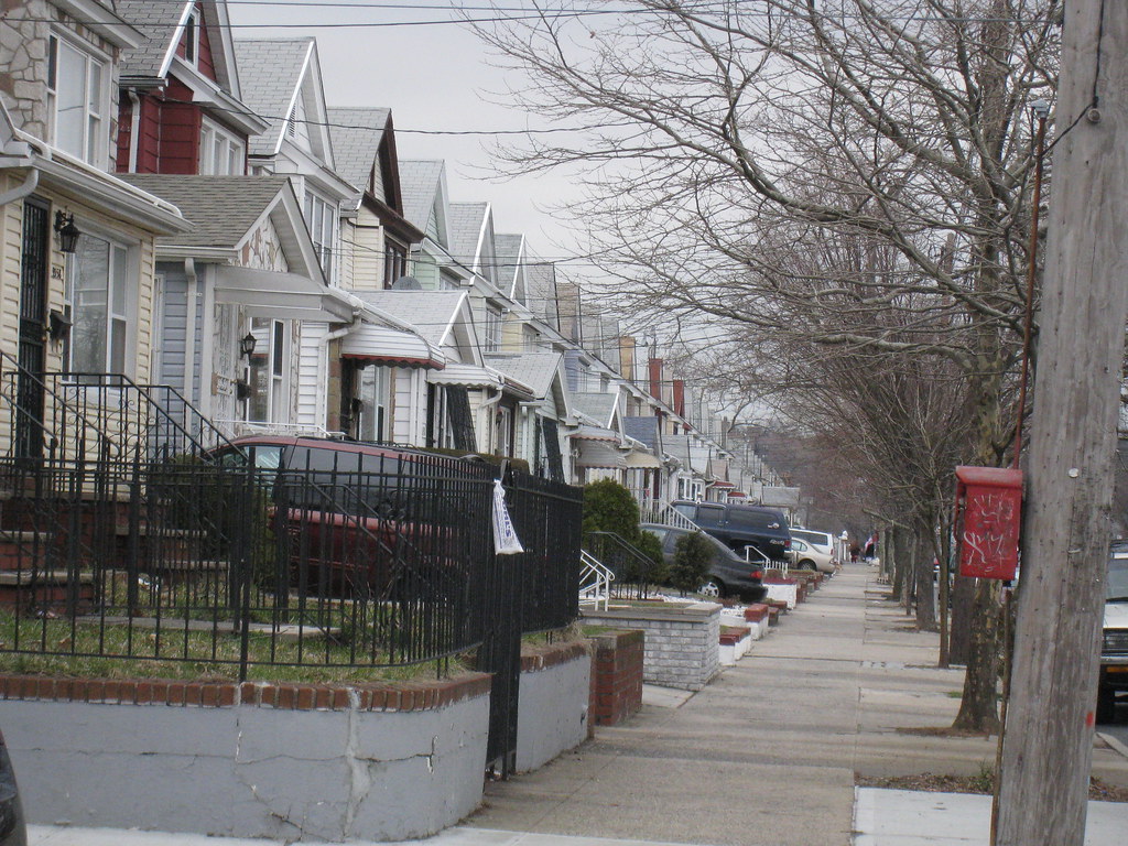
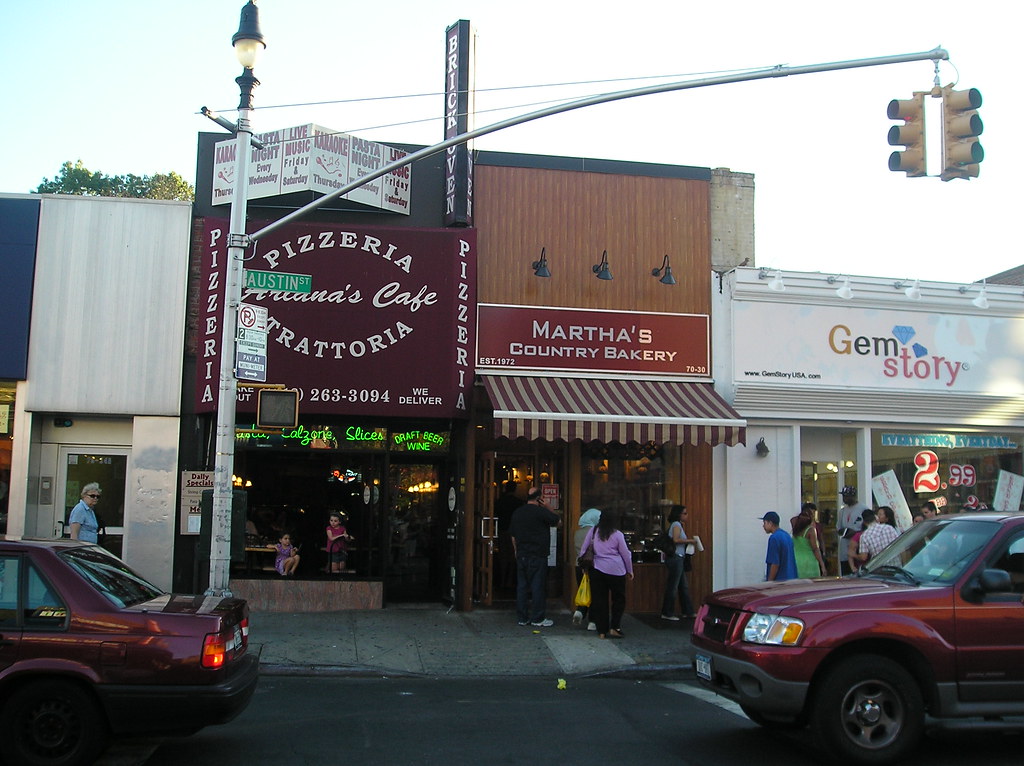
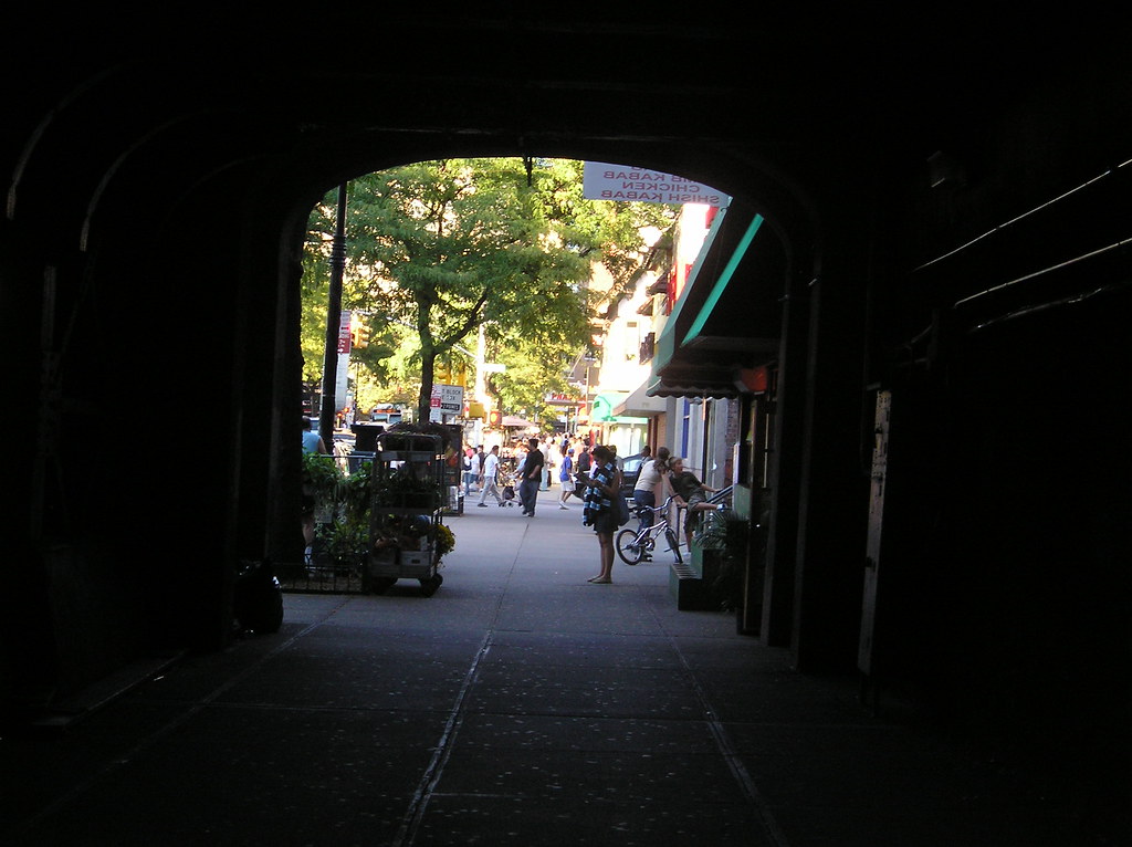
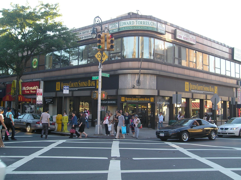
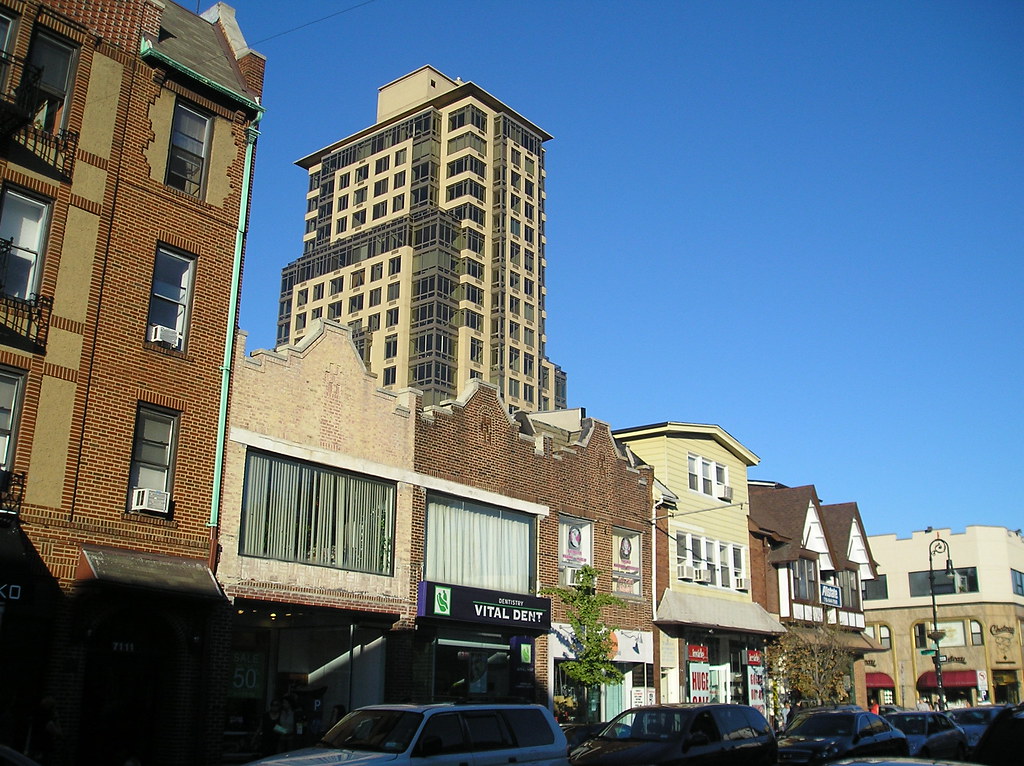
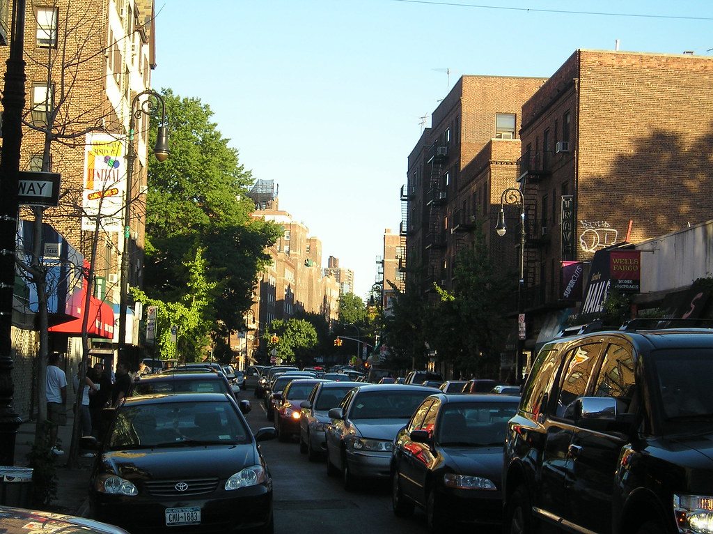
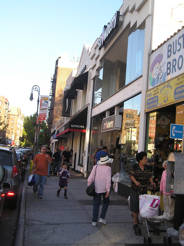
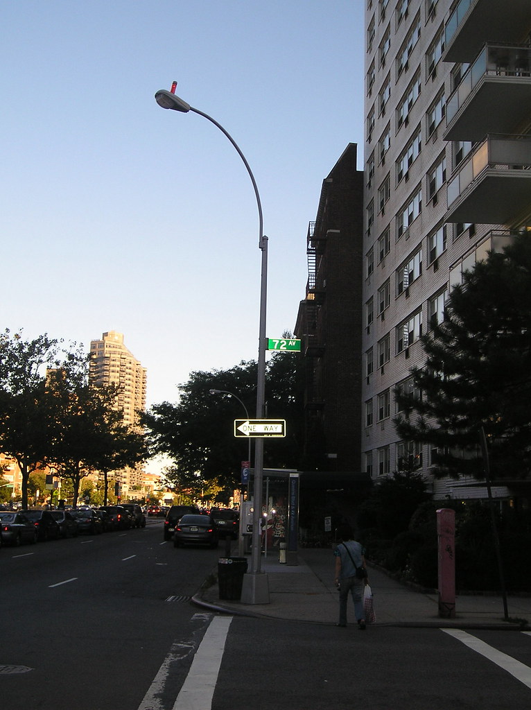
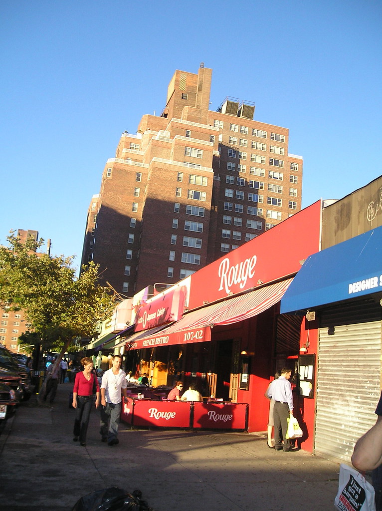
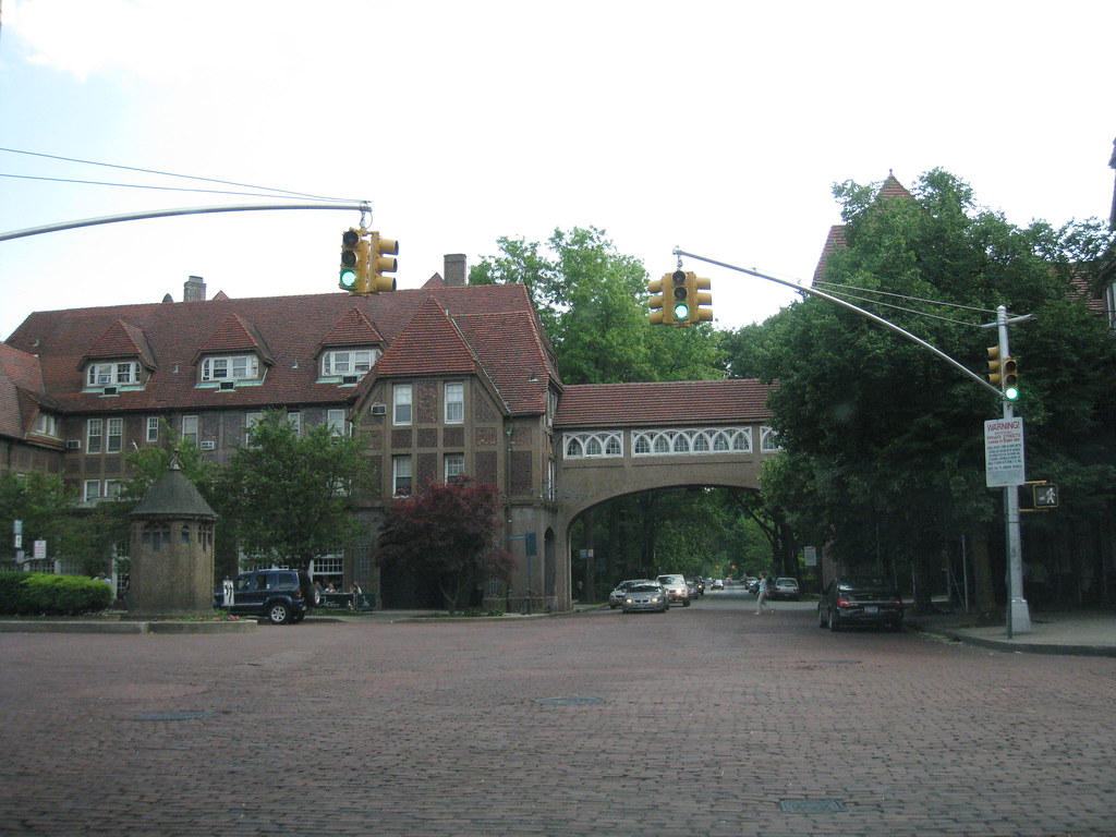
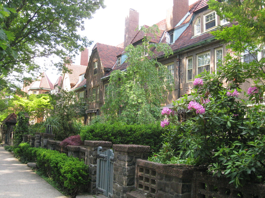
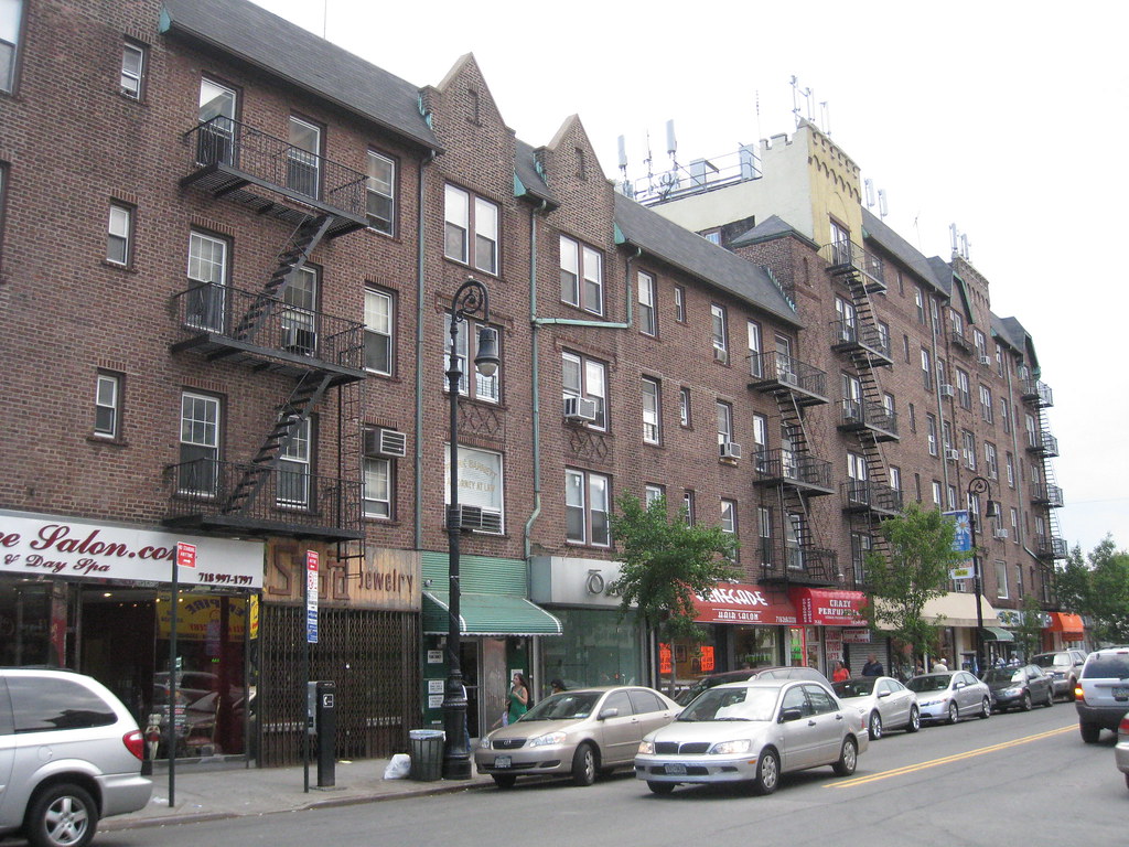
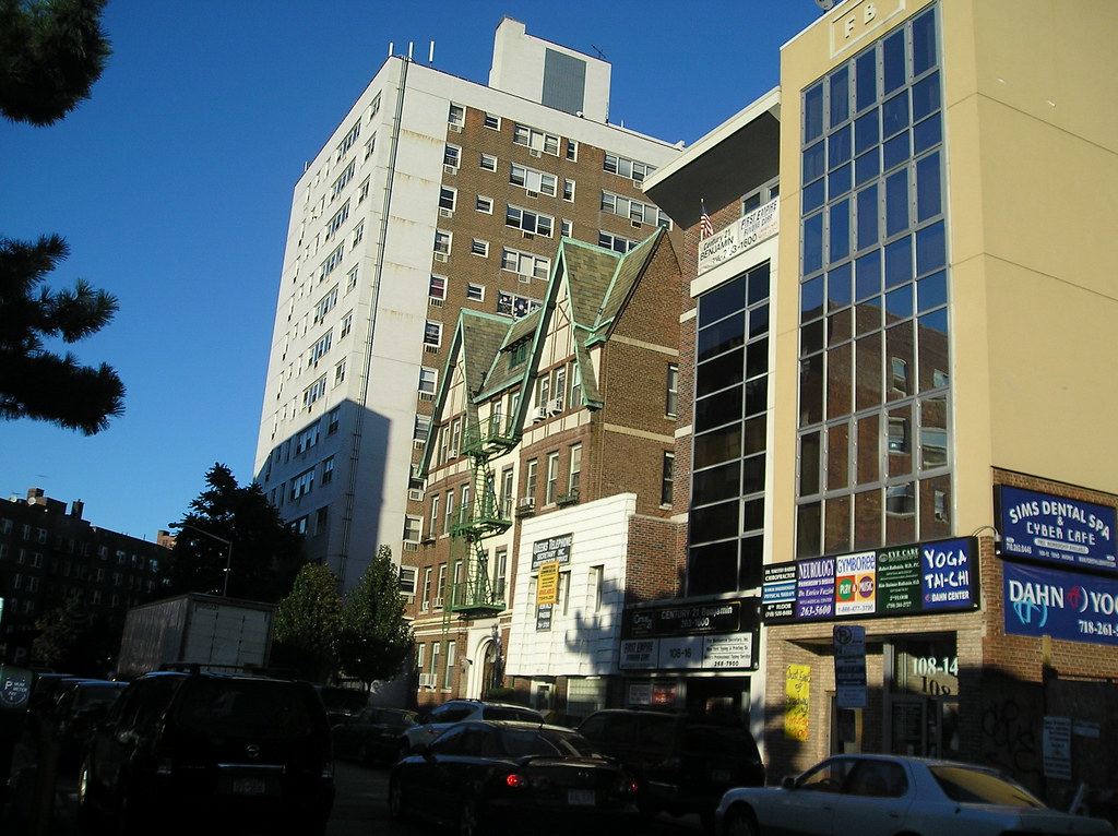
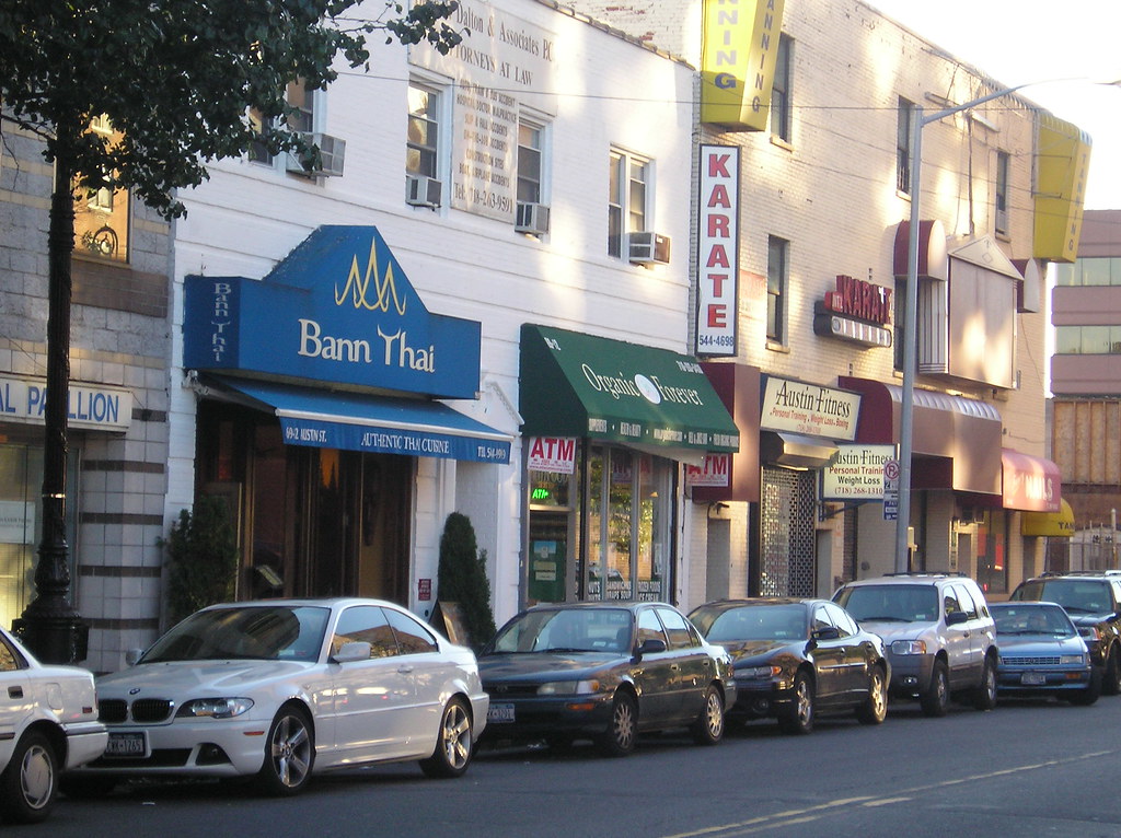
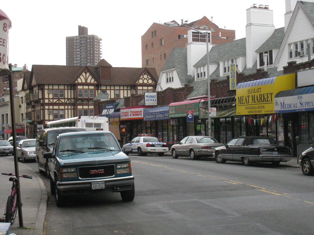
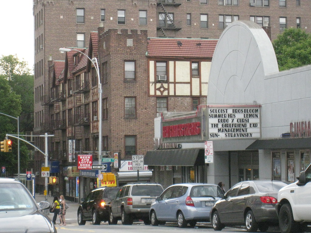
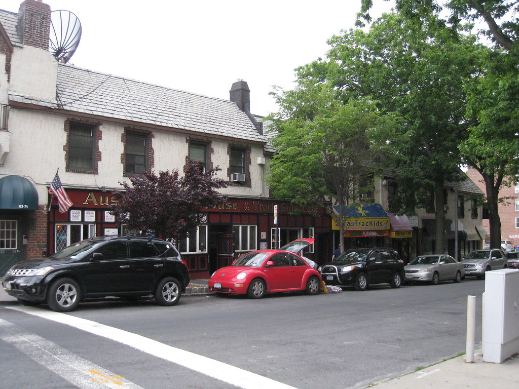
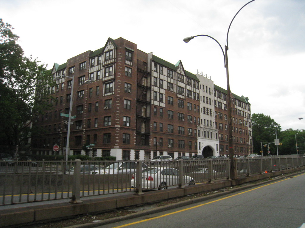
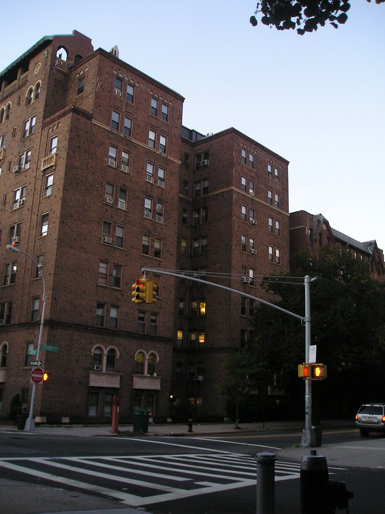
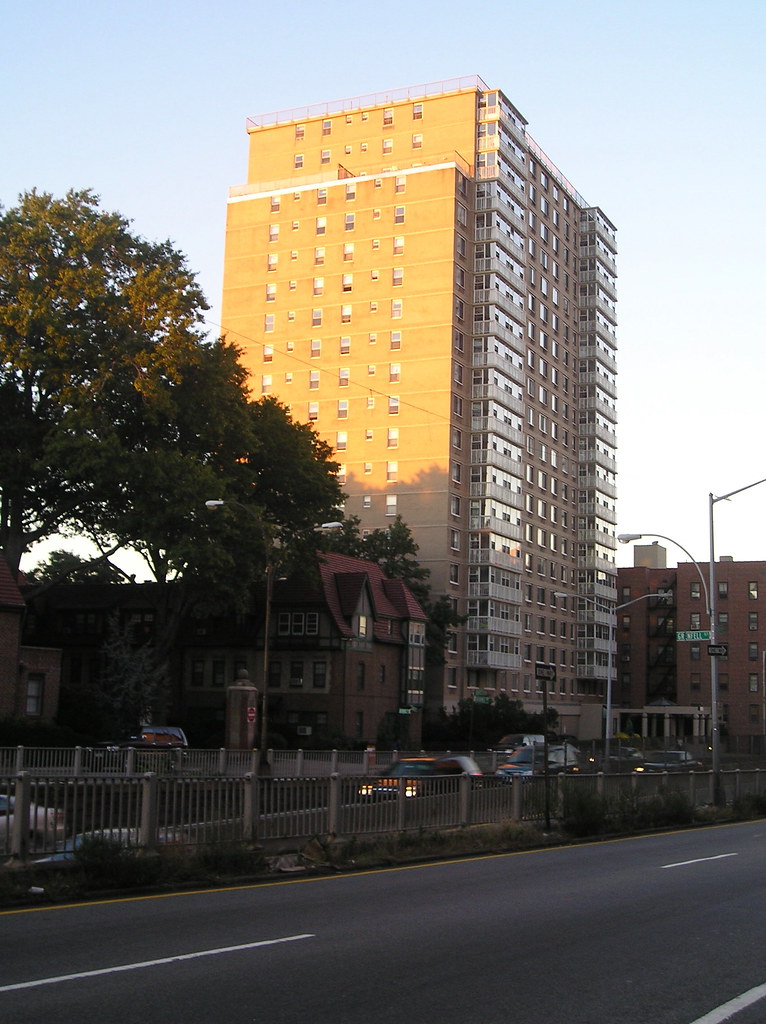
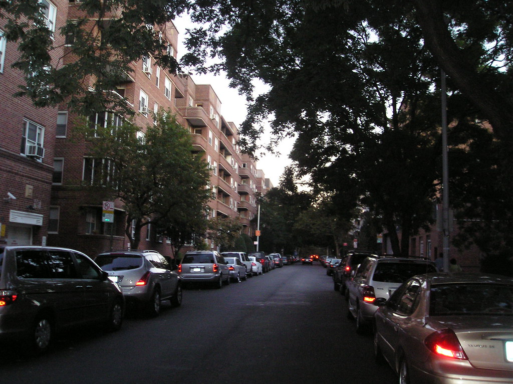
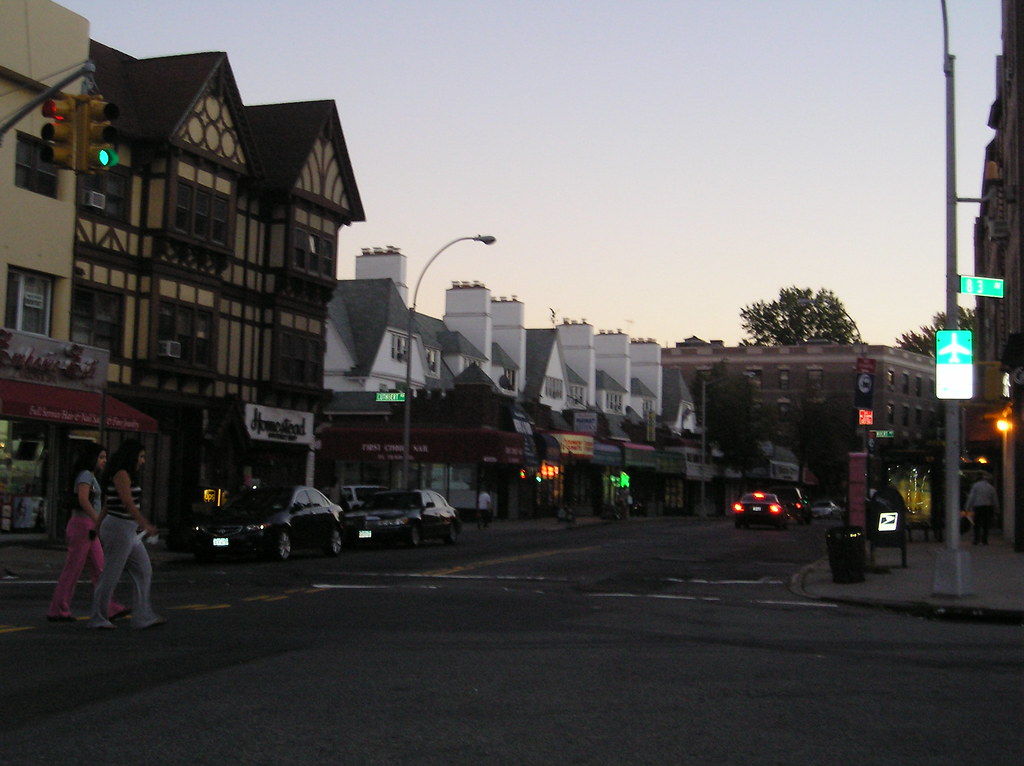
The next best of series will feature the borough of Queens. I always shrug off the misinformed and often stereotypical view that Queens is a suburban wasteland with a big building by the river. Its easy to shrug it off knowing how completely false that view is. Queens was a pretty tough cookie to tackle, with soooo many neighborhoods it took almost the longest for me to complete. The borough is quiet diverse economically and geographically. You'll find that much of it is still working class and like the other boroughs quiet dense with residential blocks that go on for miles using the same housing stock.
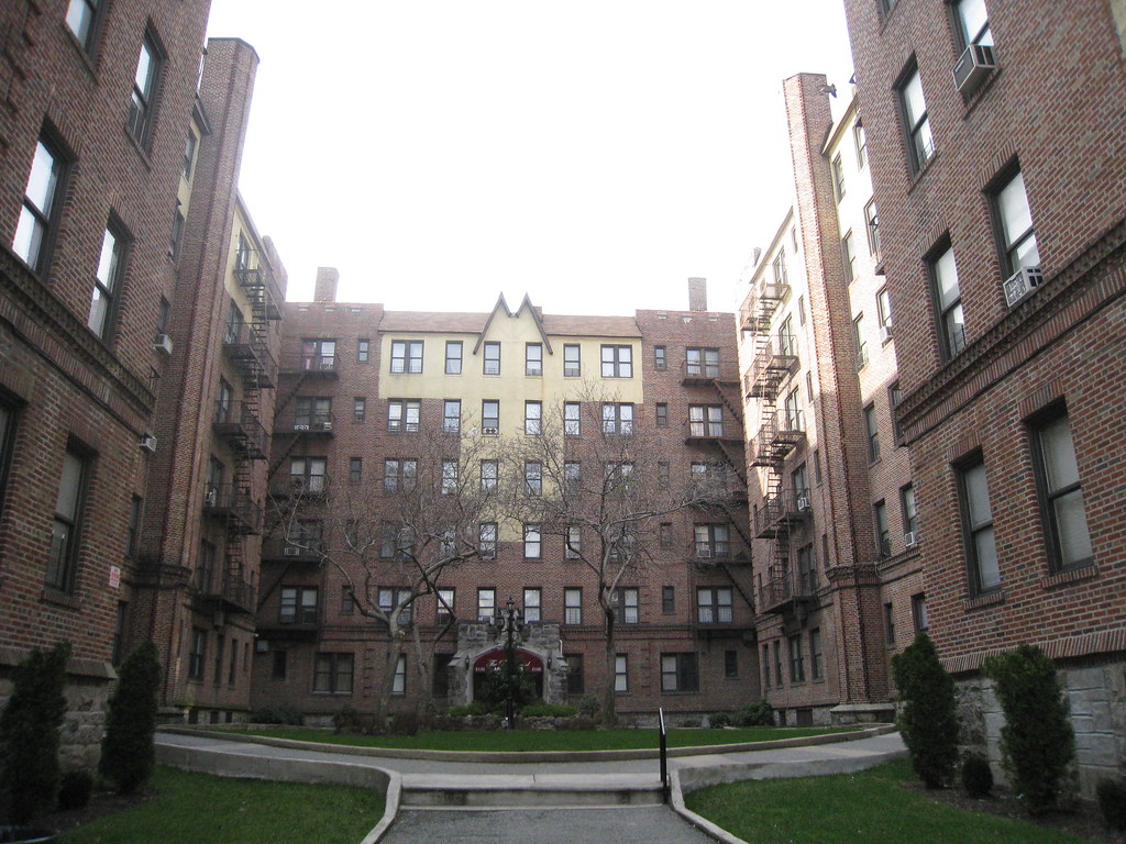
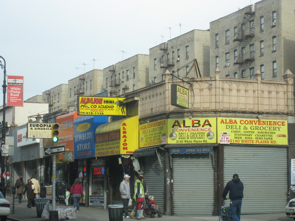
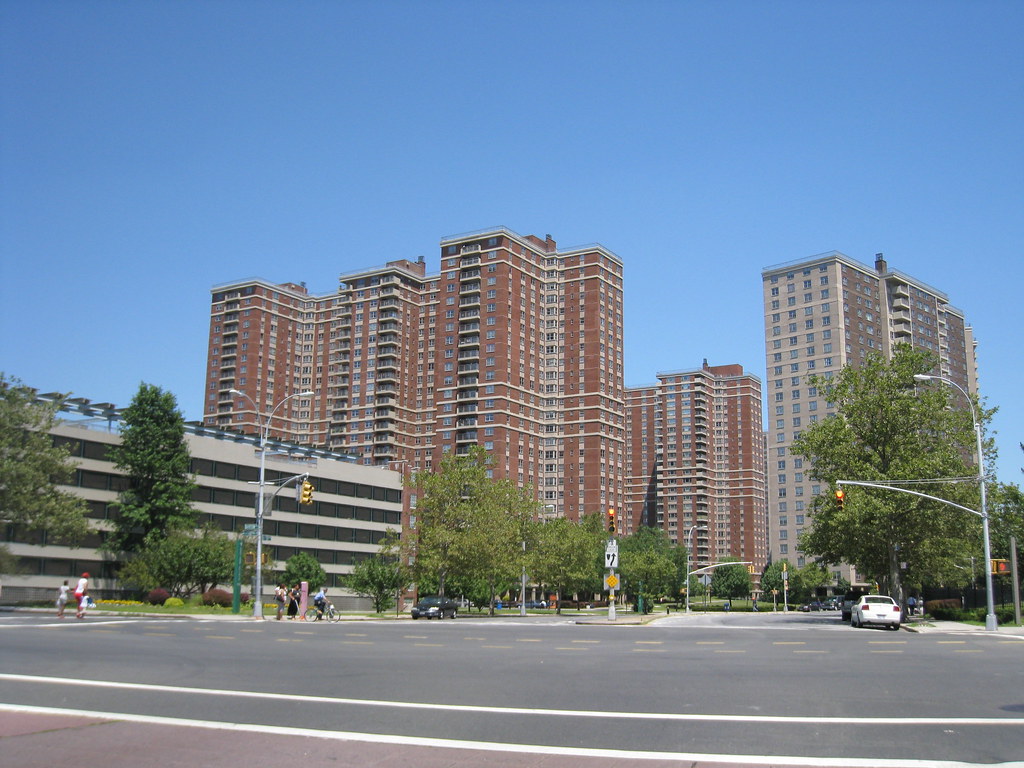
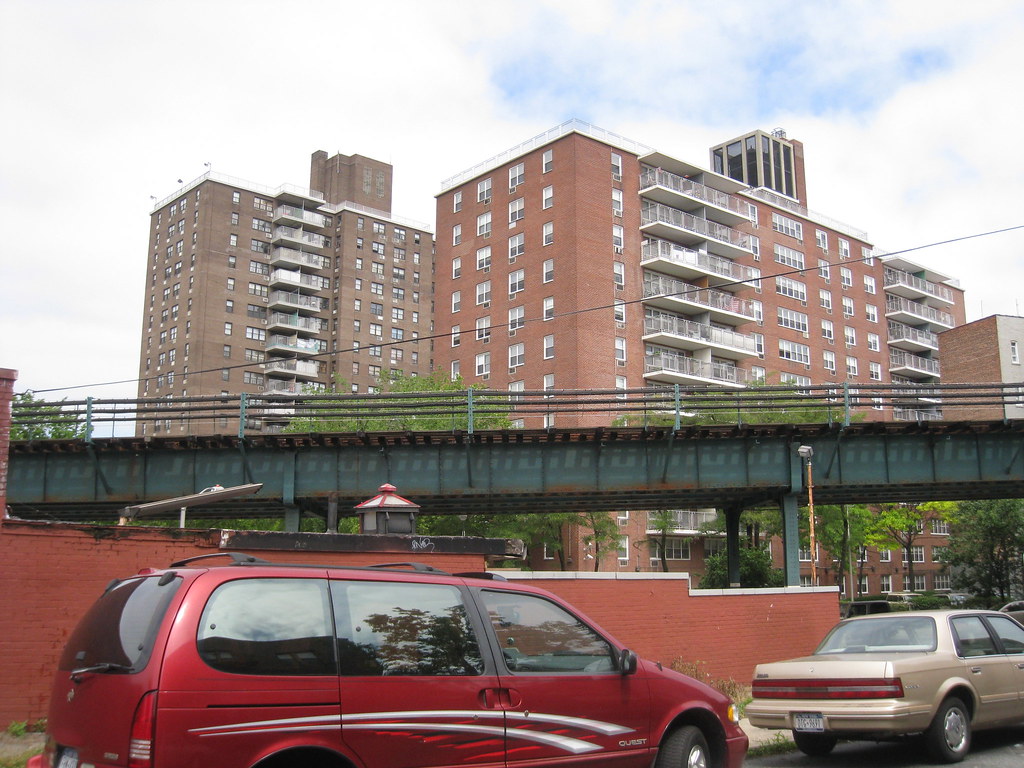
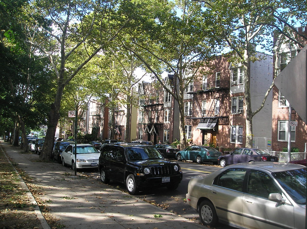
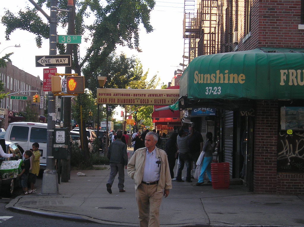
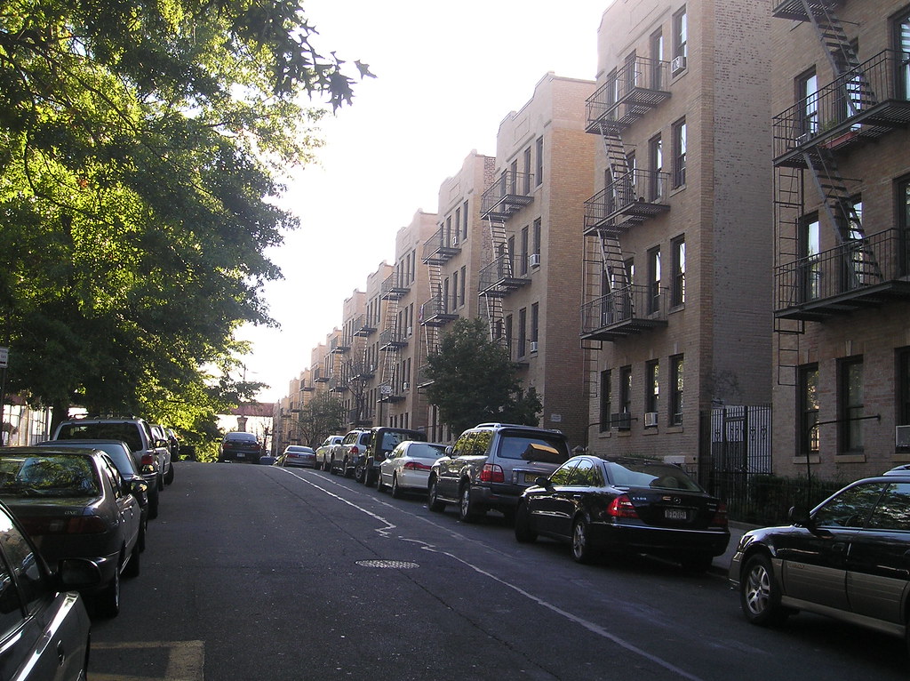
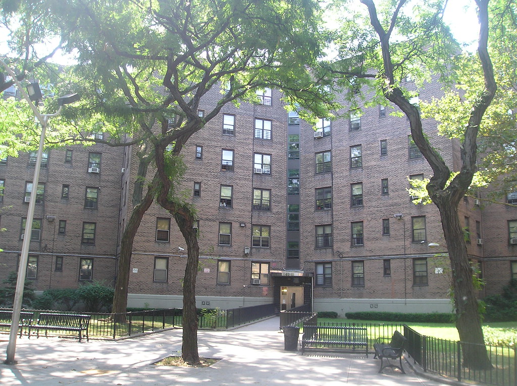
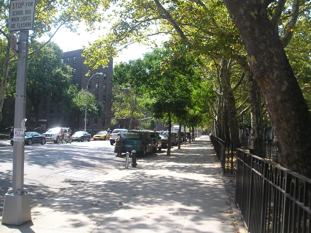
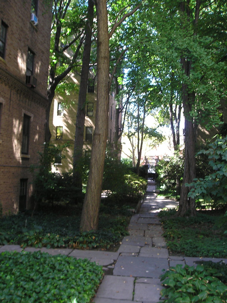
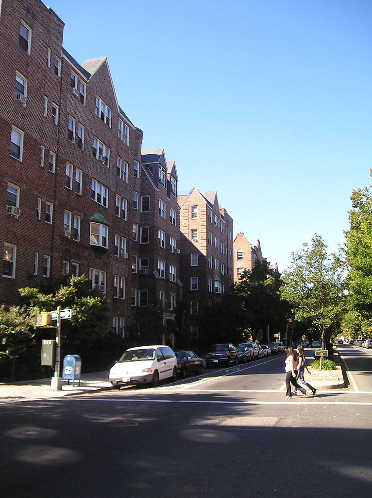
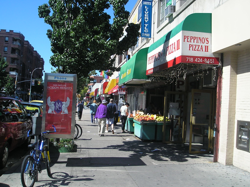
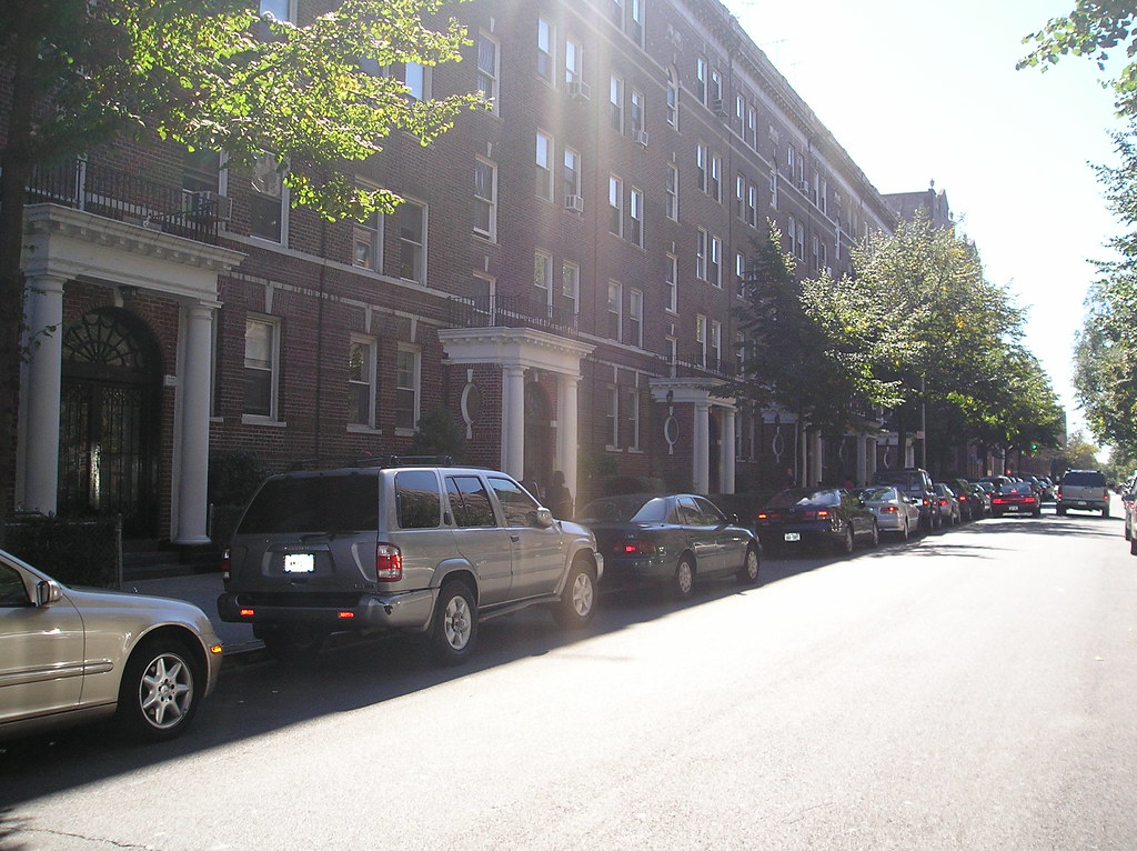
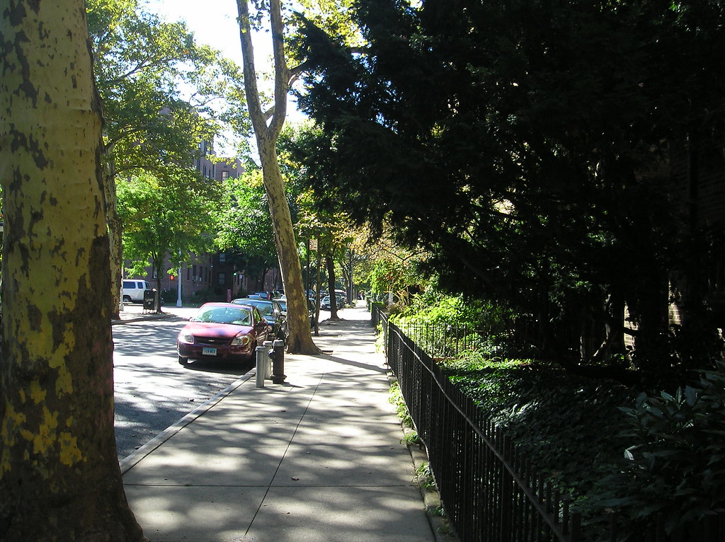
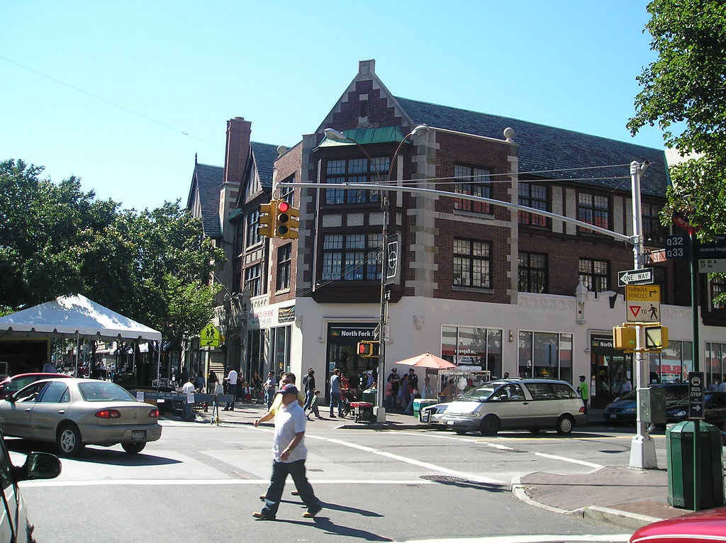
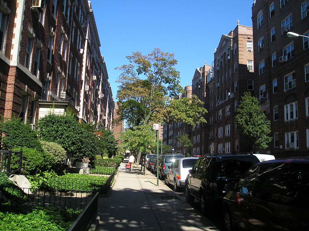
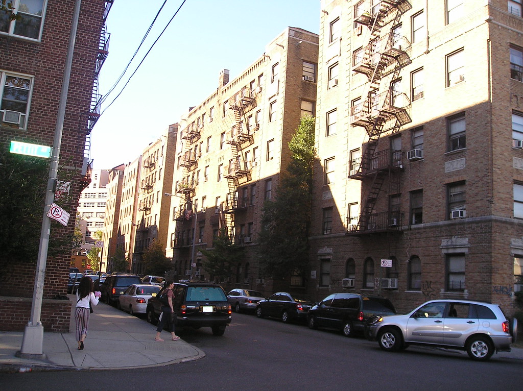
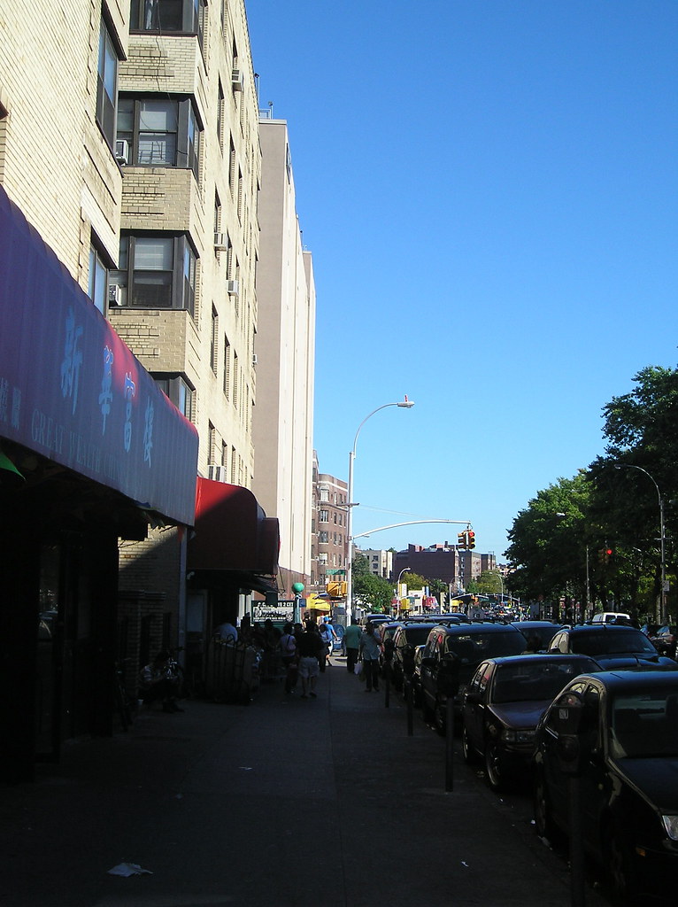
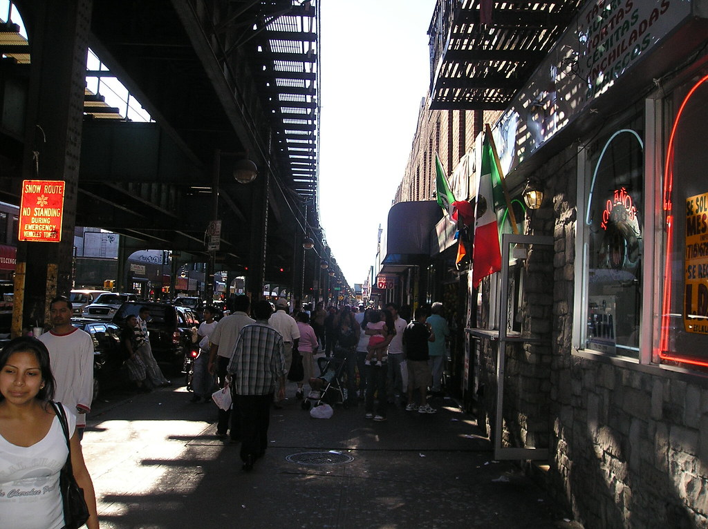
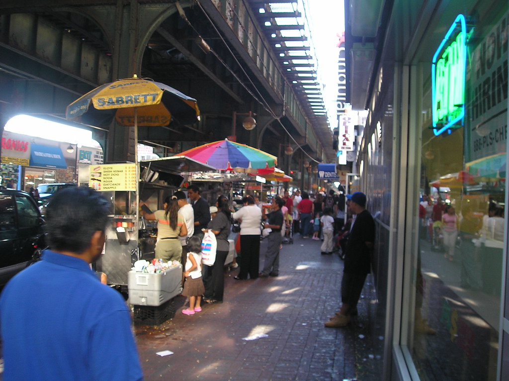
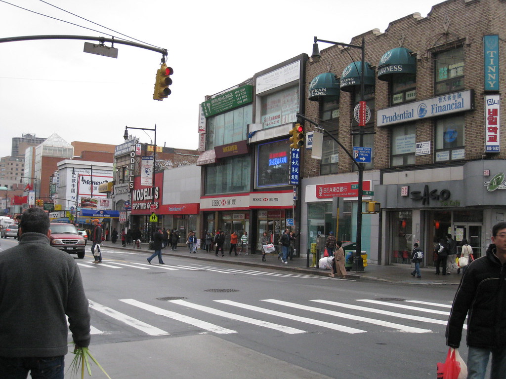
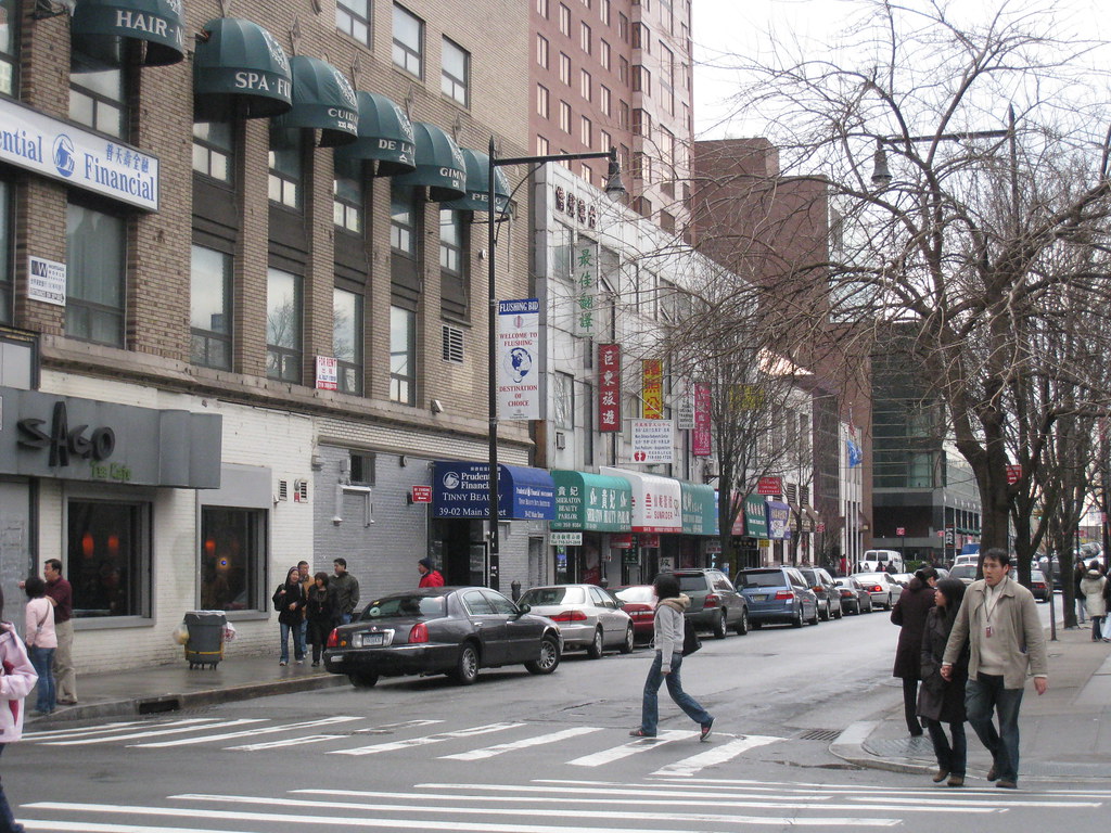
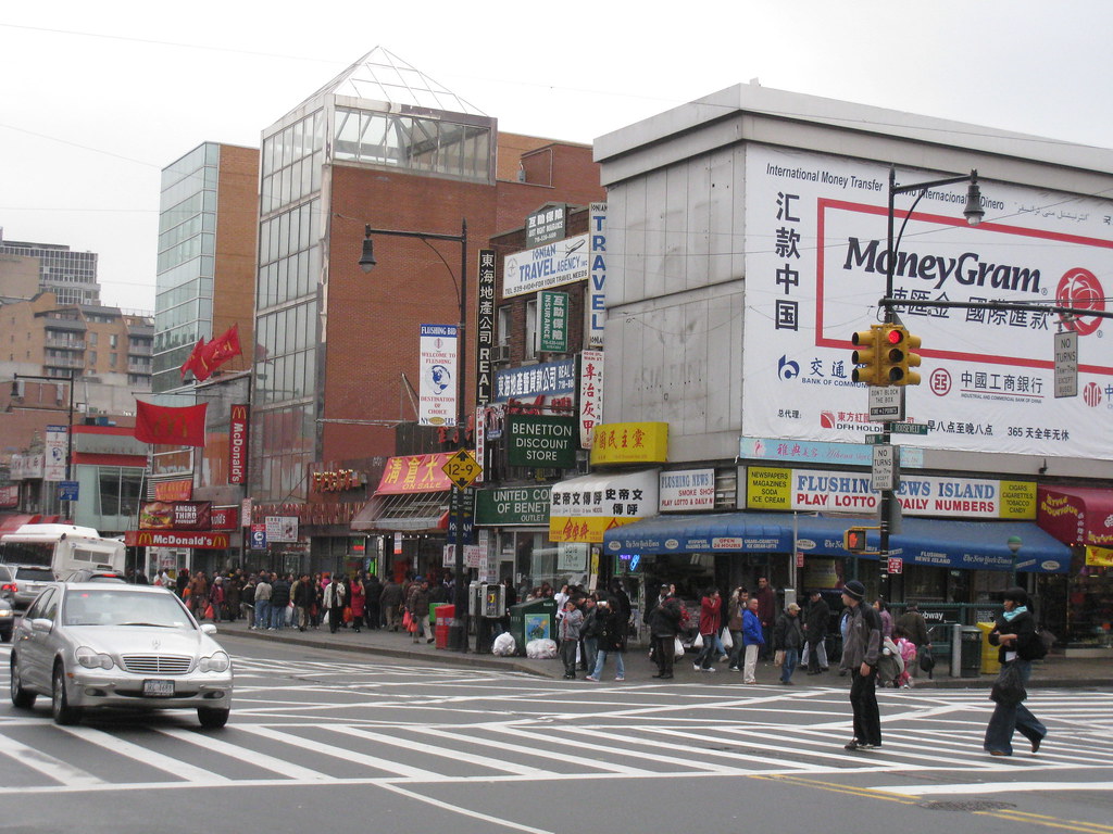
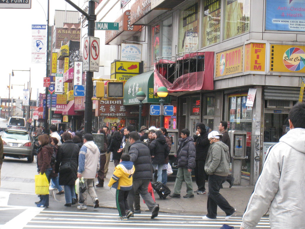
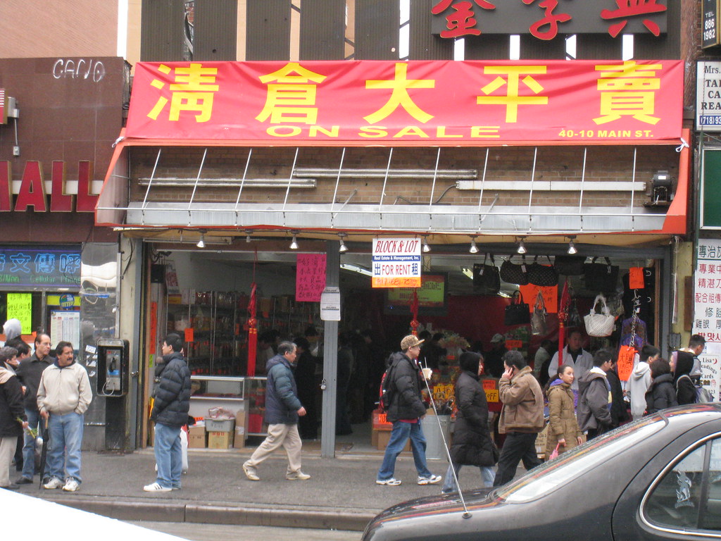
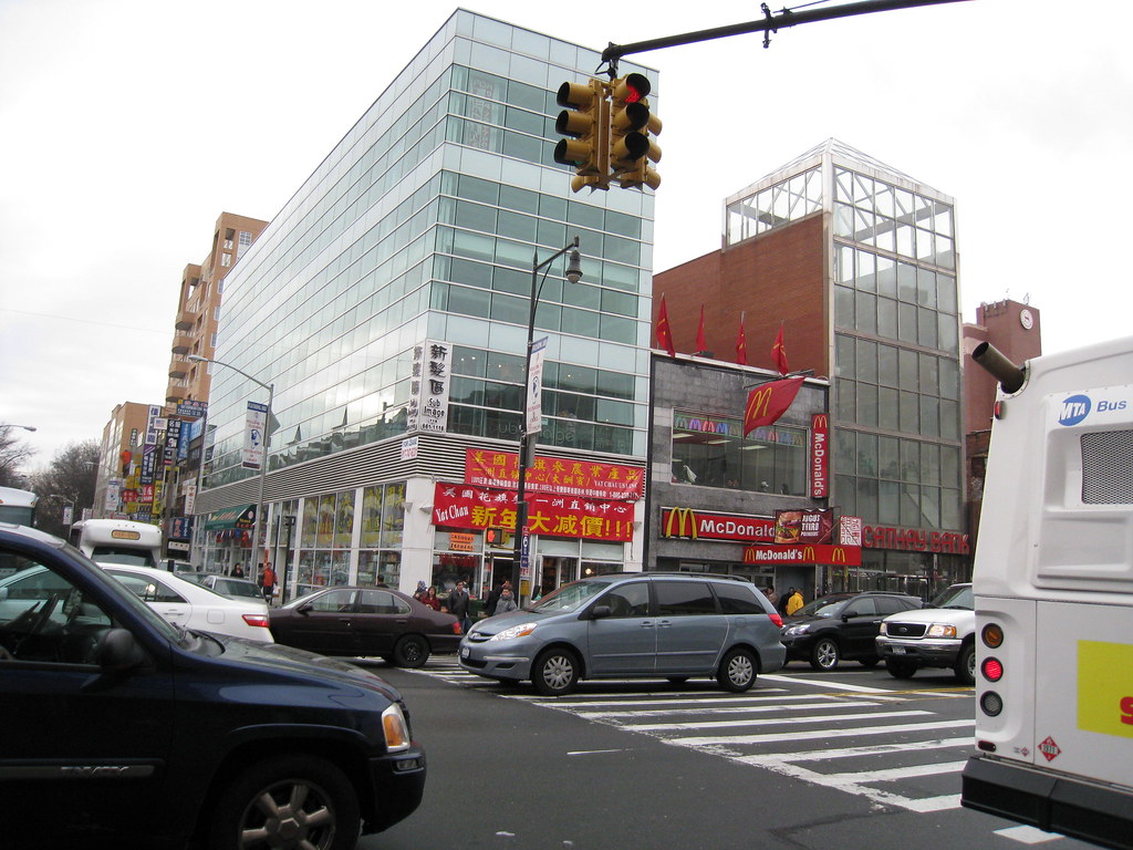
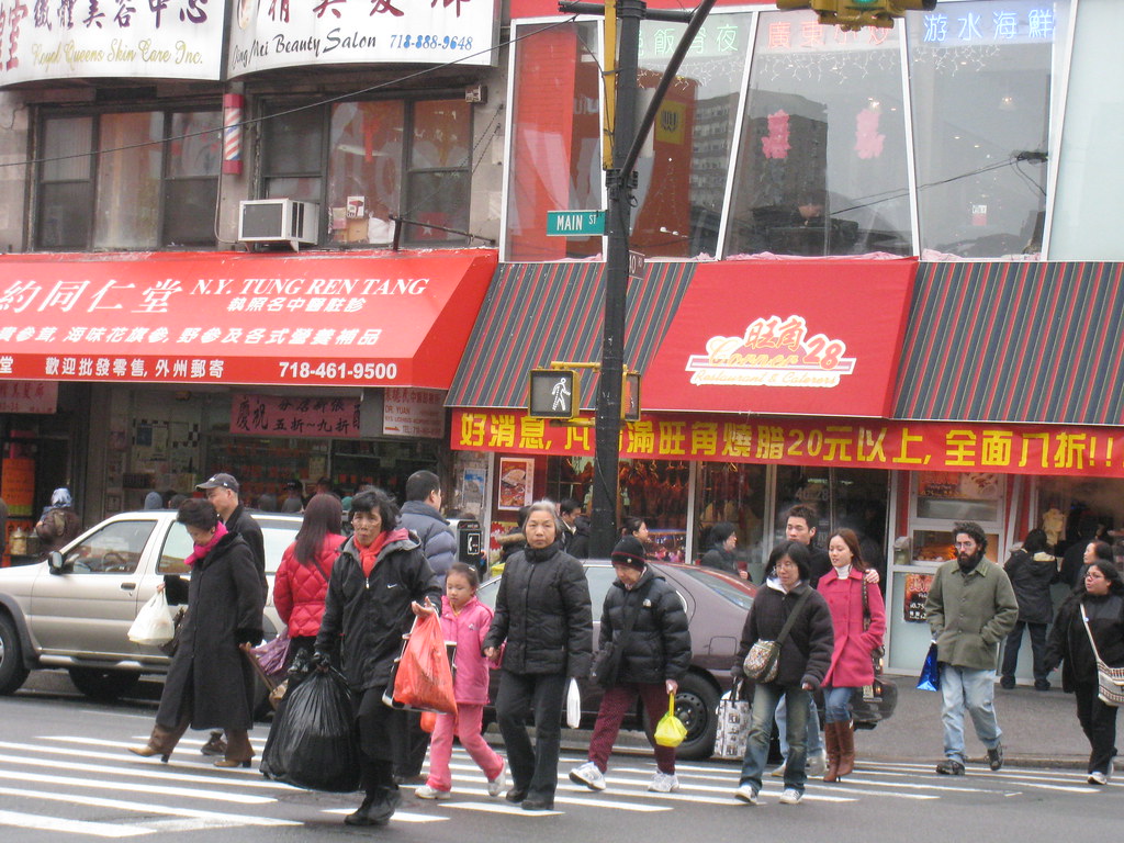
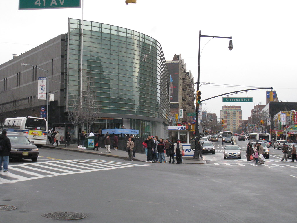
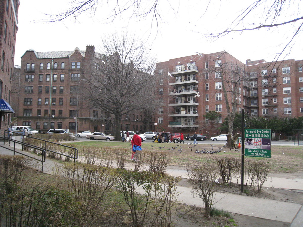
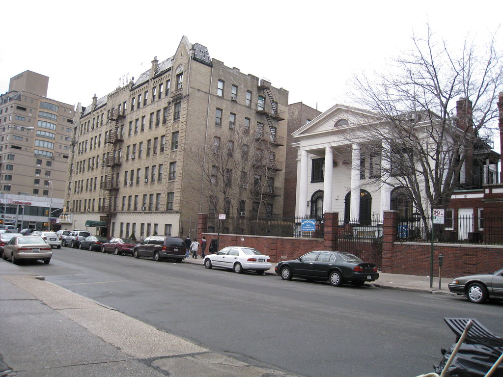
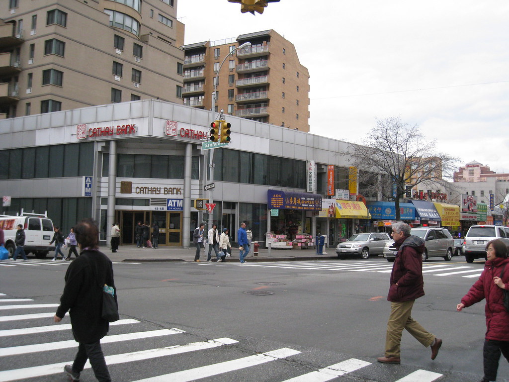
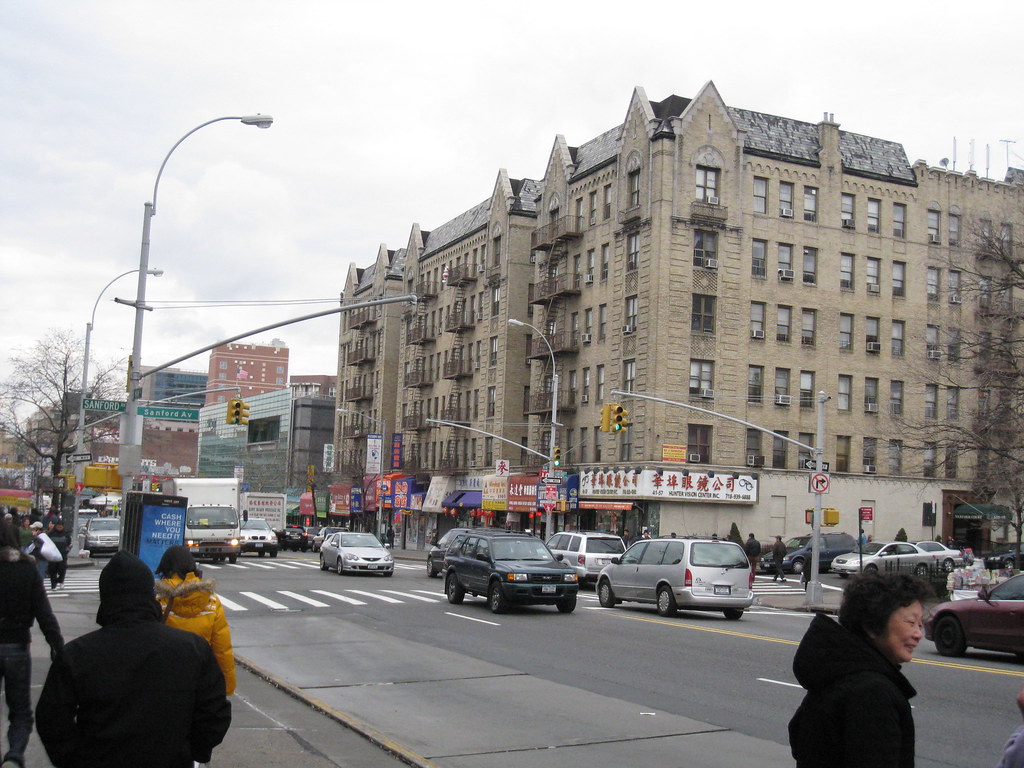
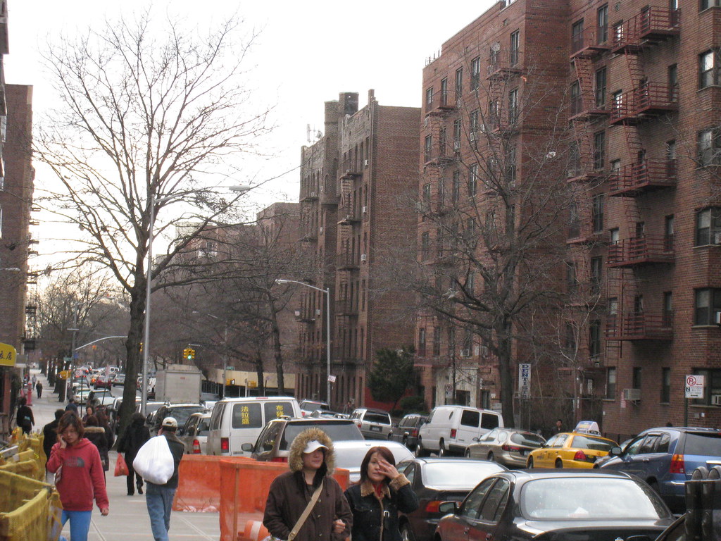
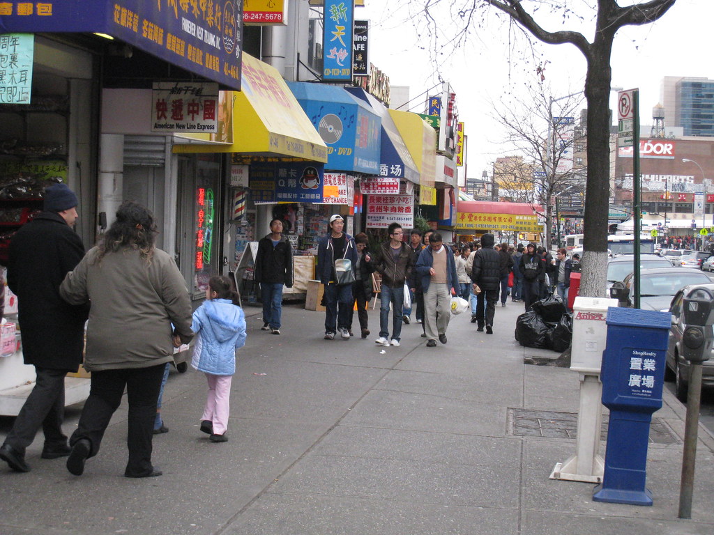
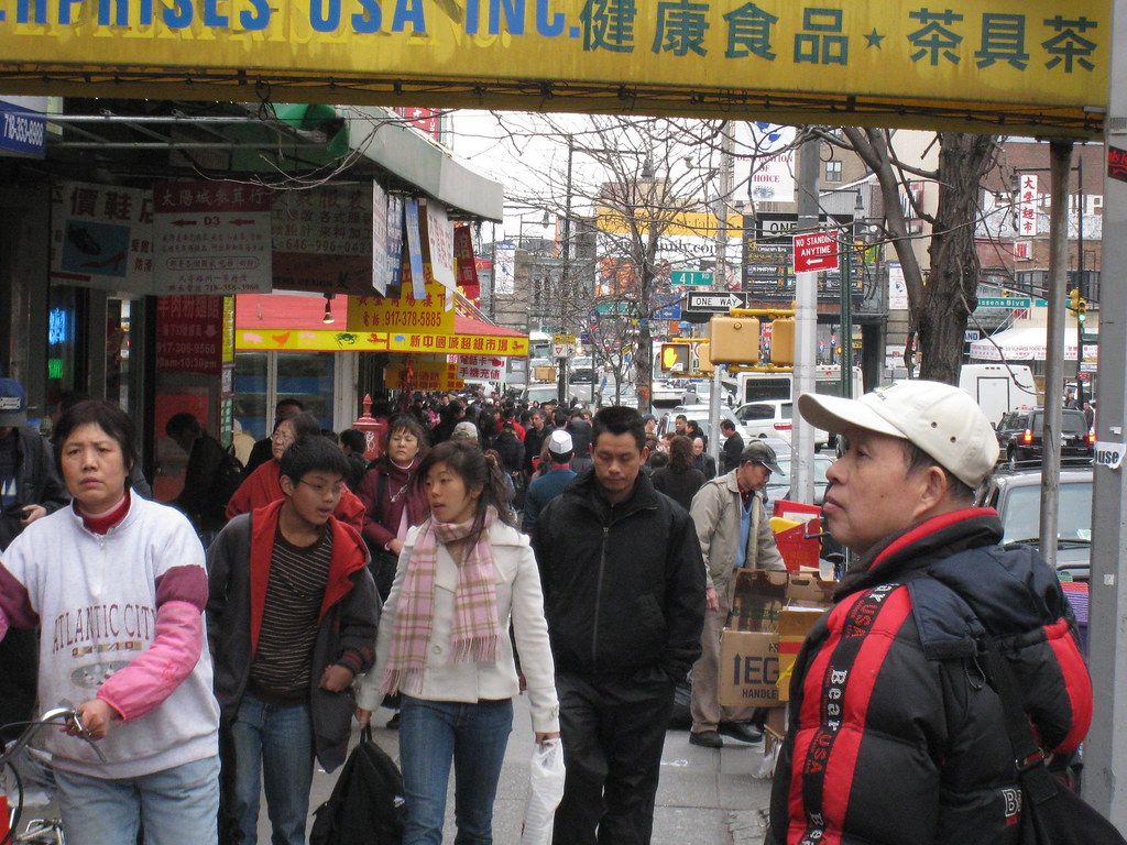
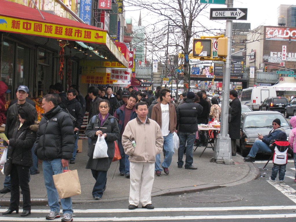
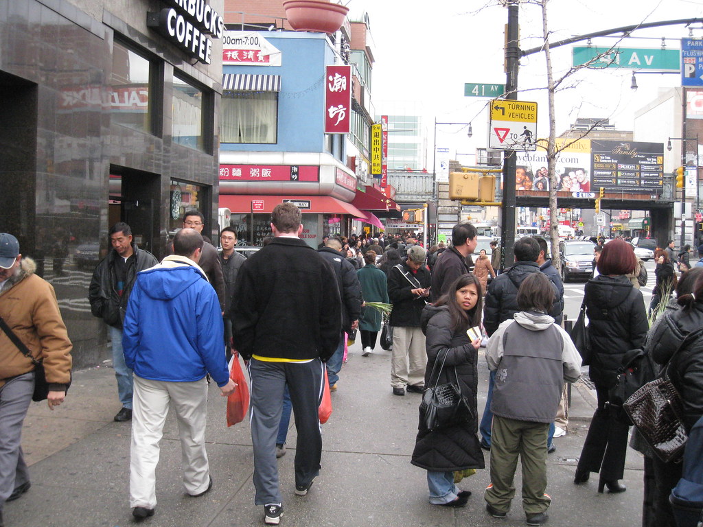
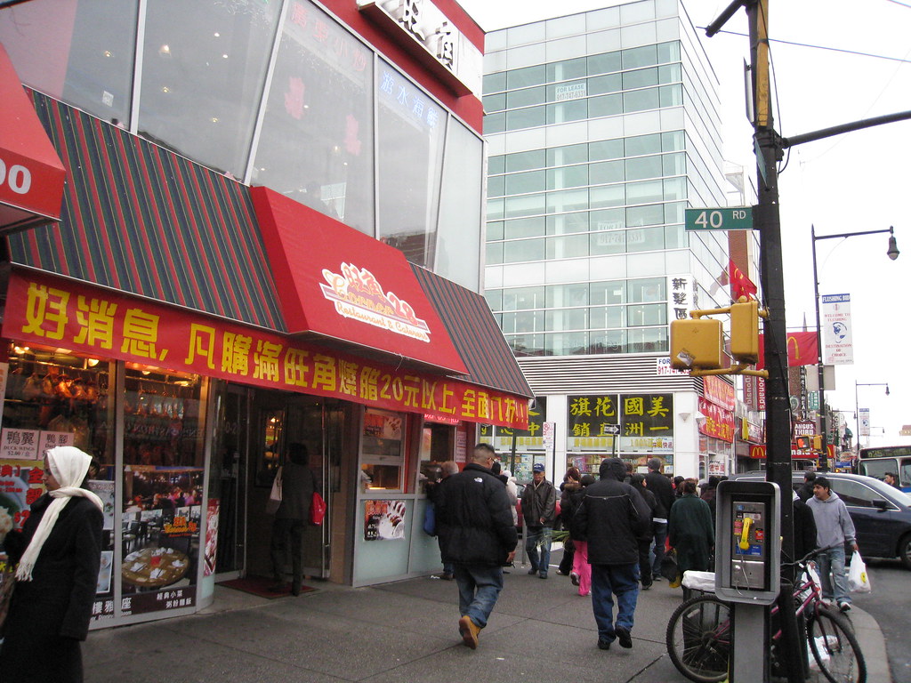
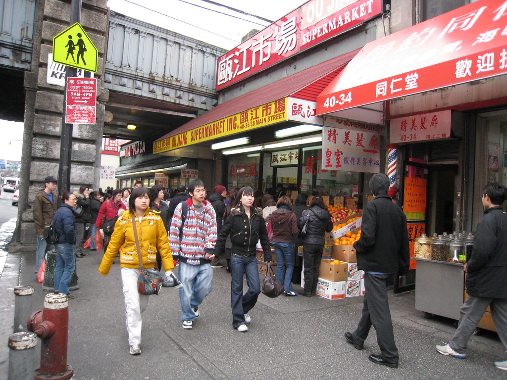
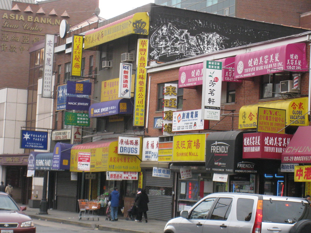
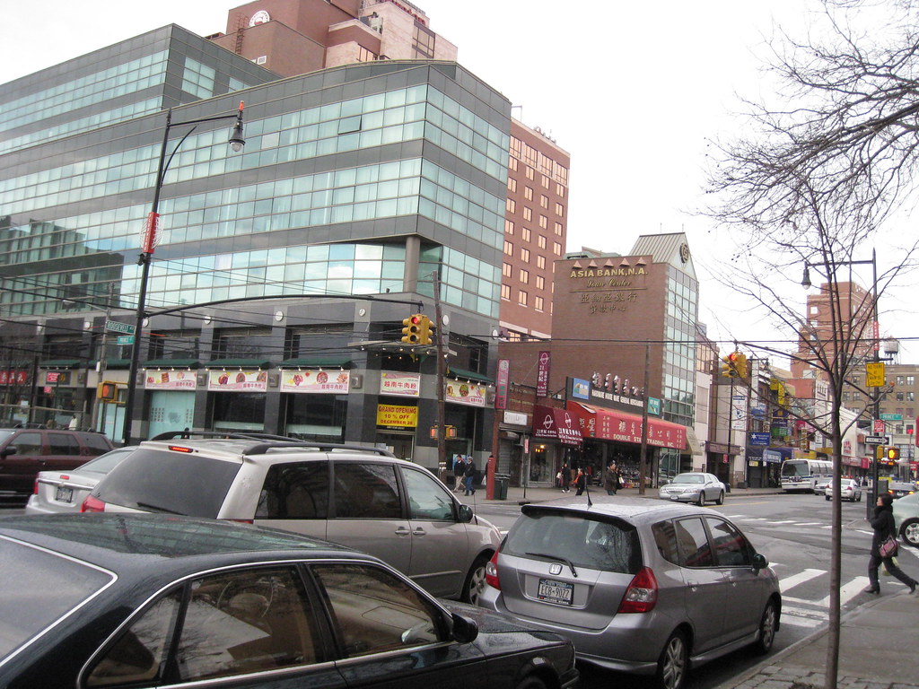
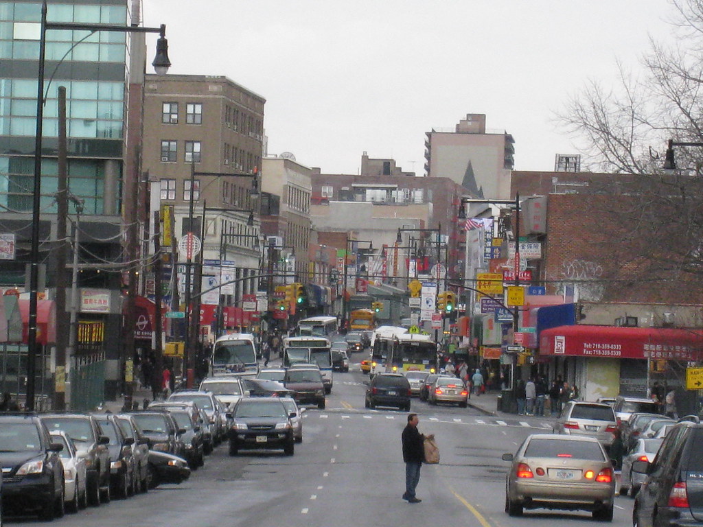
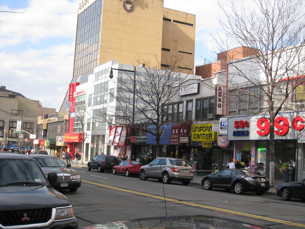
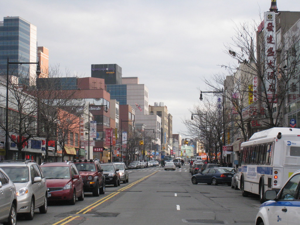
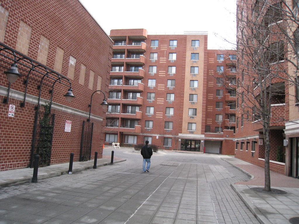
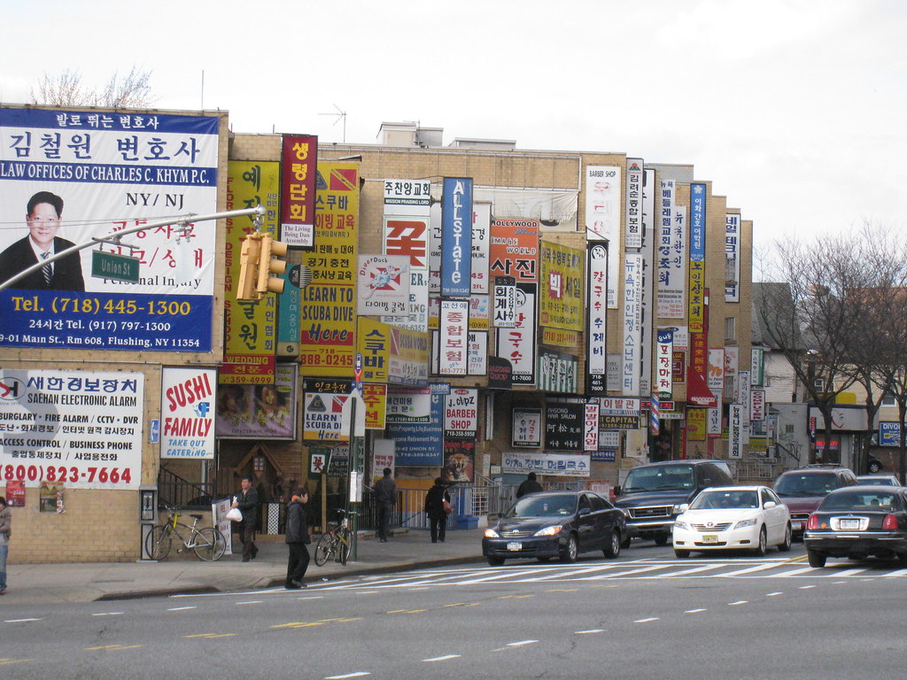
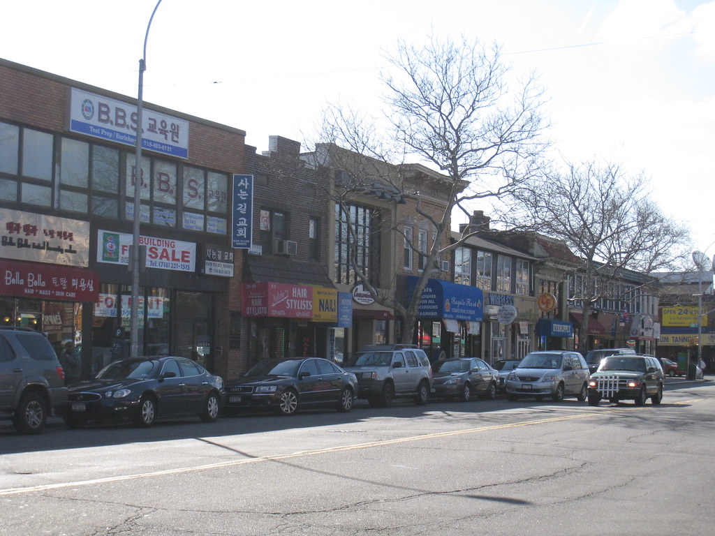
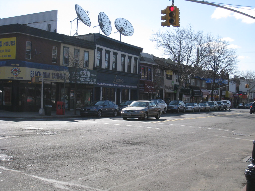
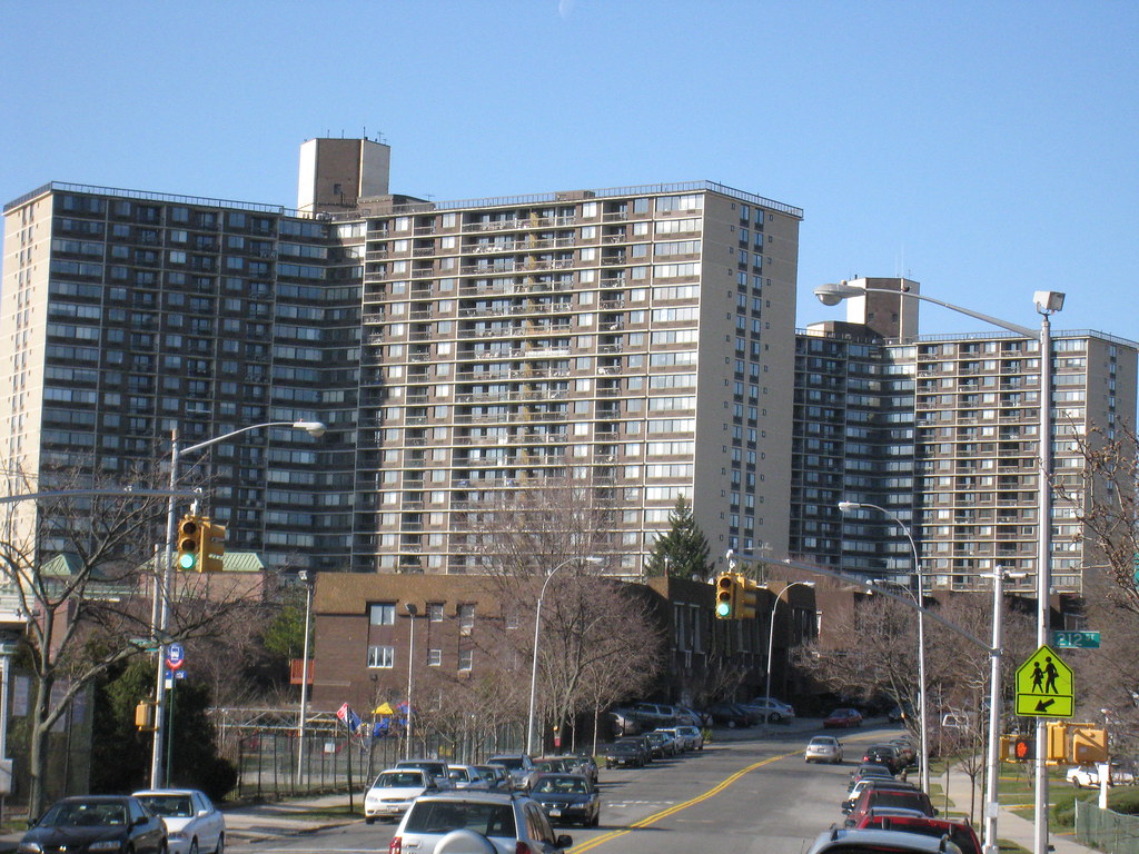
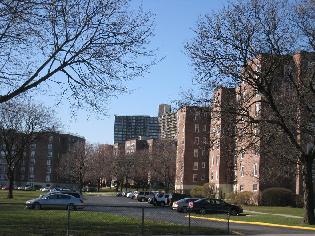
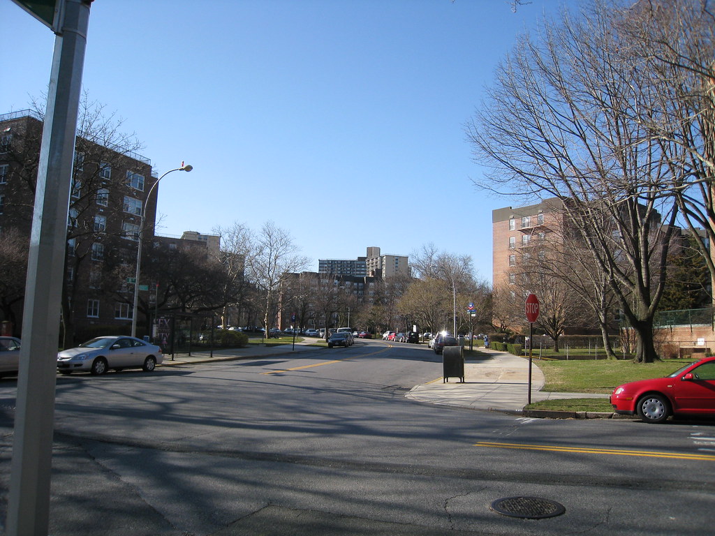
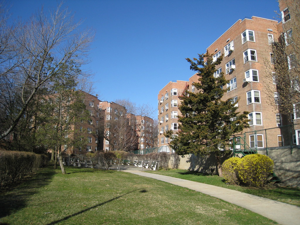
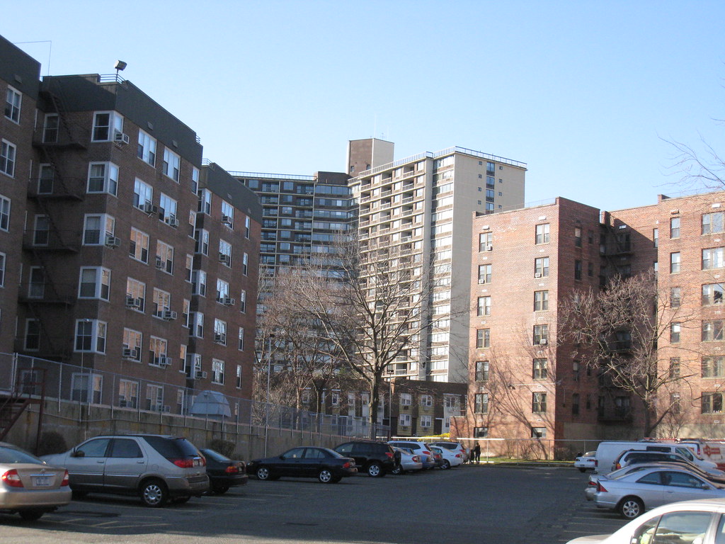
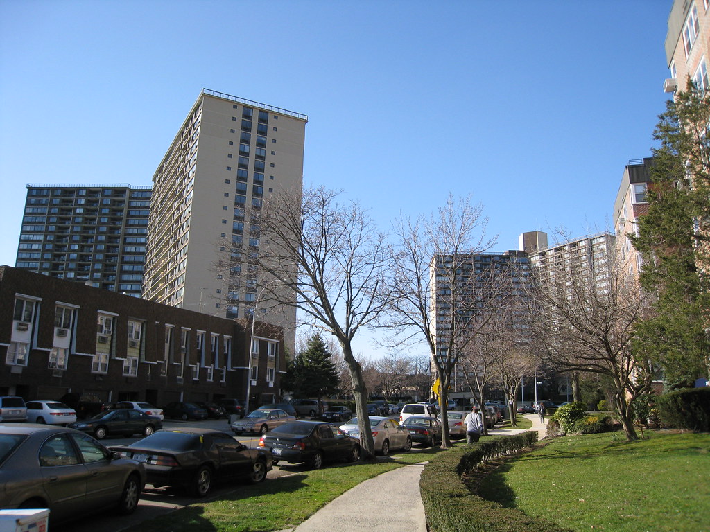
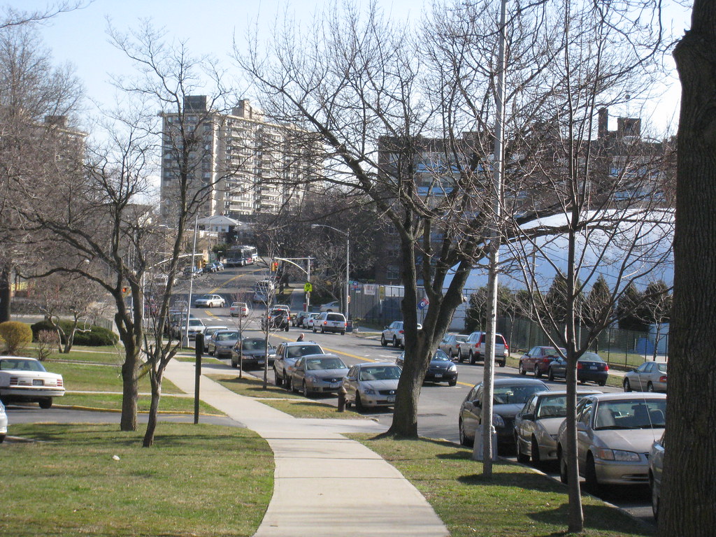
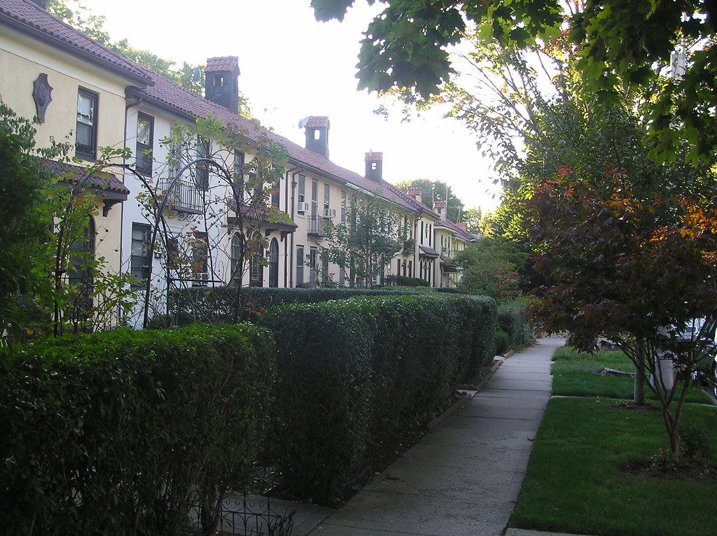
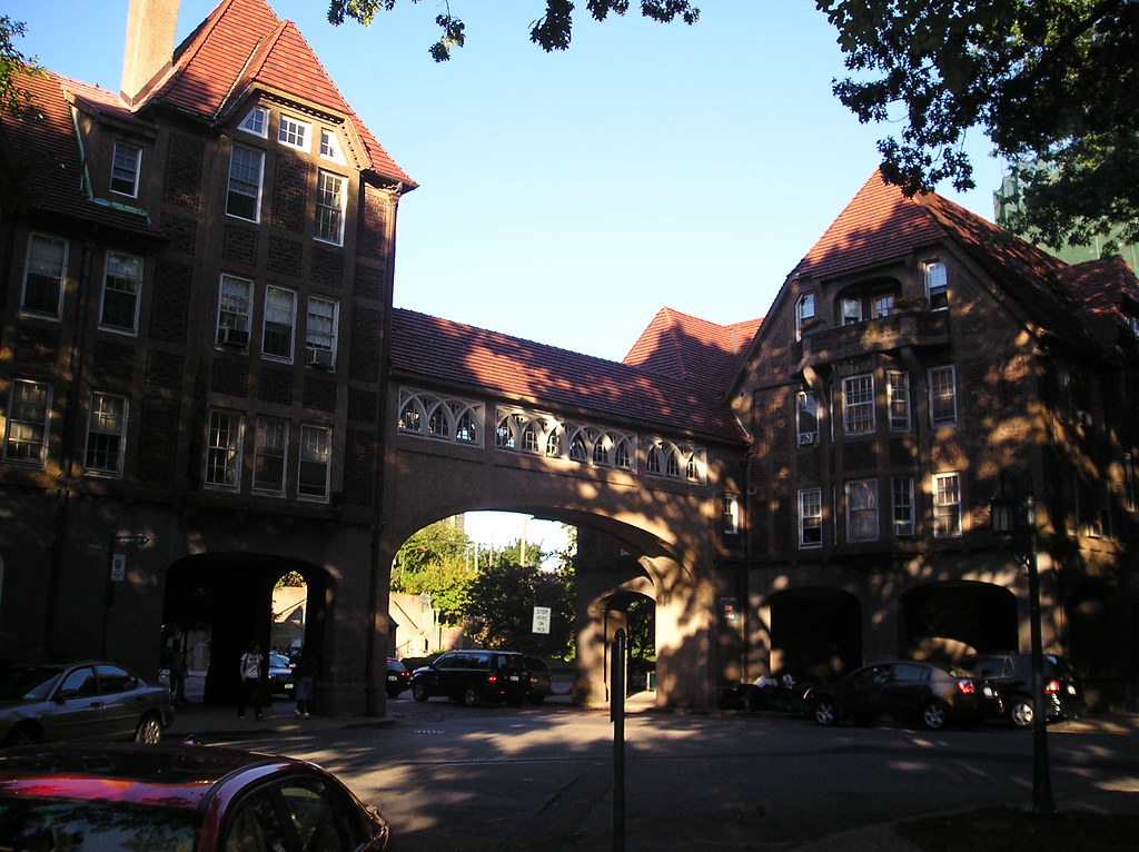
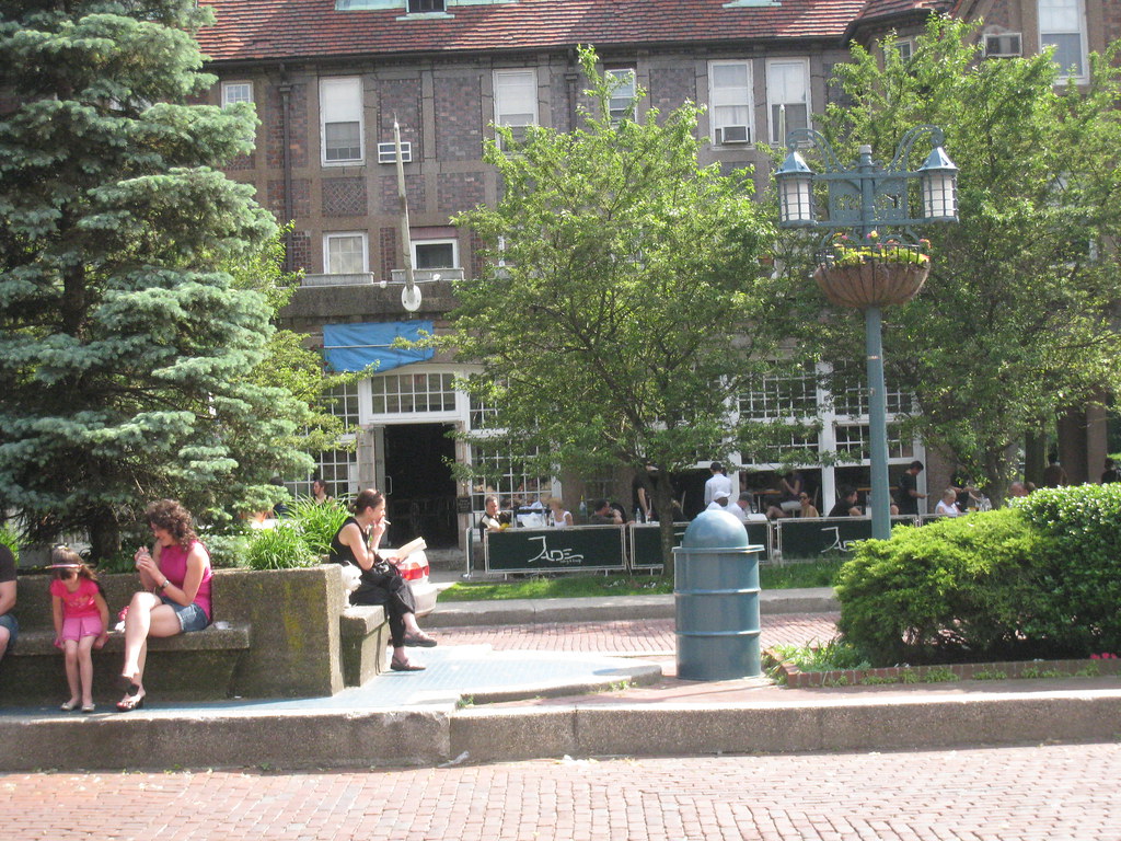
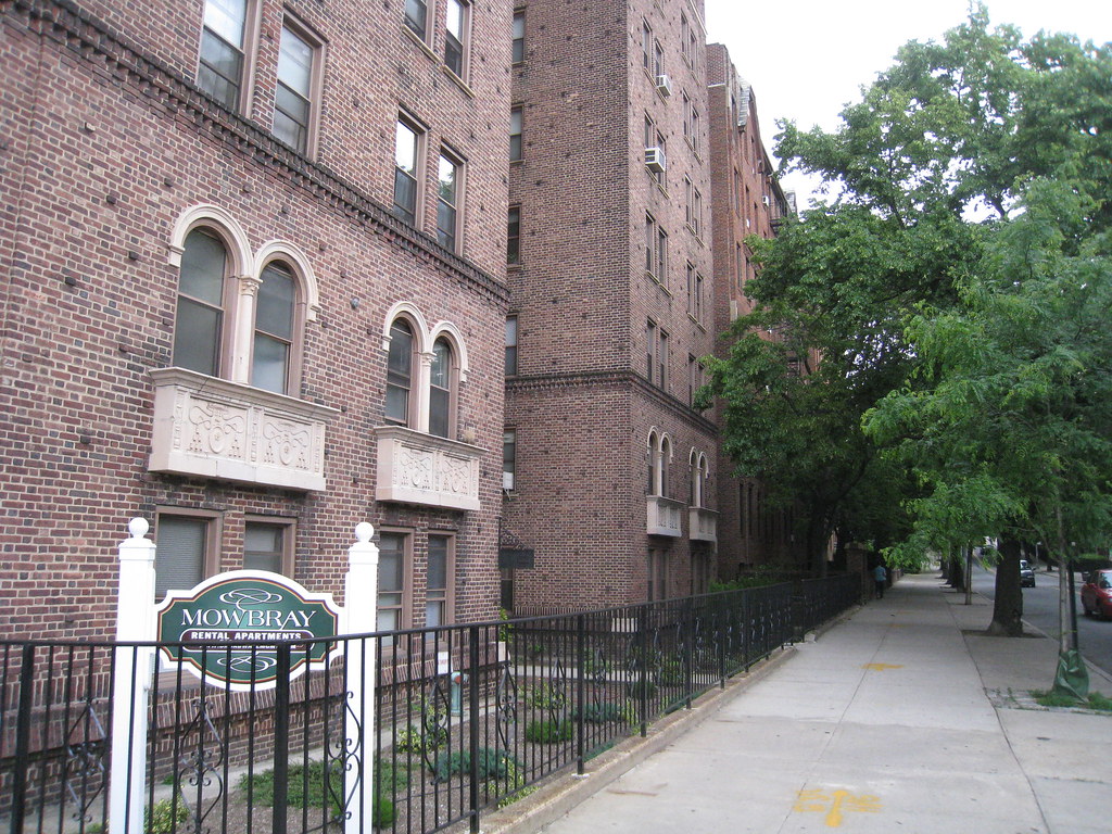
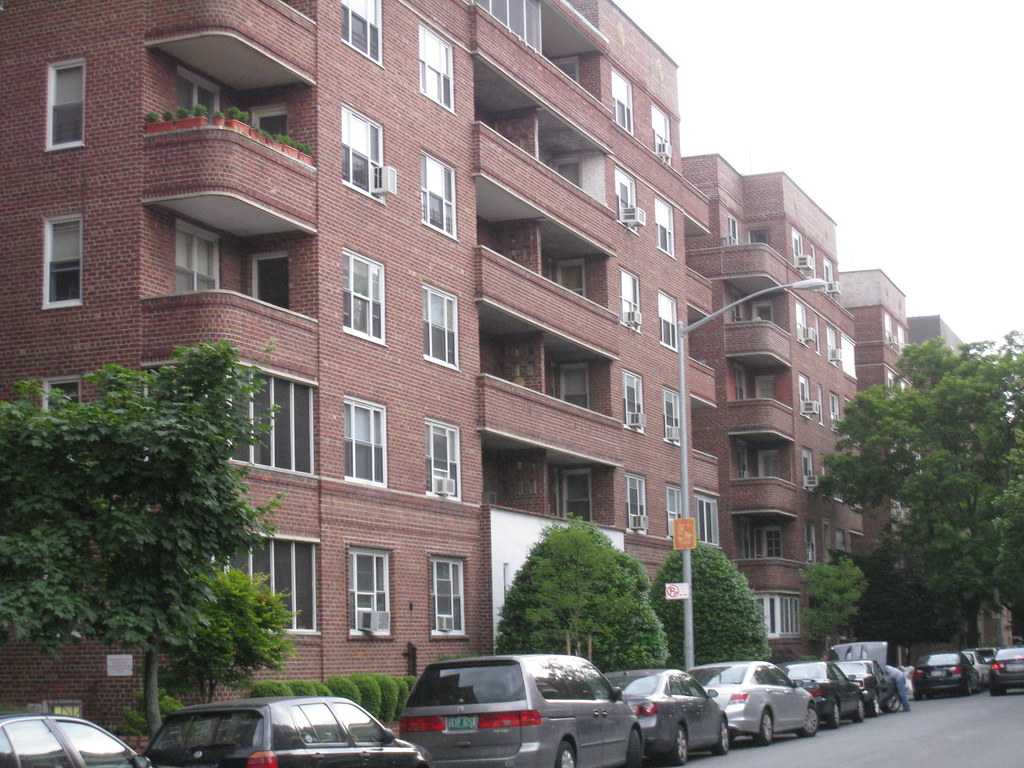
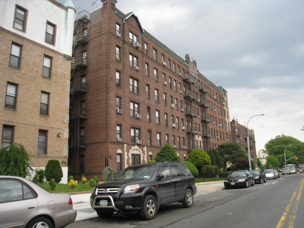
The borough features the outer-boroughs largest stock of garden apartments, which are packed into concentrated areas we call garden city's. The city's second largest chinatown is in Queens. The borough also has beach side communities and upscale north shore hillside neighborhoods. From the Greeks in Astoria to the West Indians of South East Queens, to the Chinese in the north east and the Jewish in the center, Queens is the most diverse urban area in the world. The evidence of this was staggering when I was there and the fact that everyone lives side by side is also interesting. Unlike Brooklyn, which was its own city and the Bronx which had been building up as demand called for--Queens grew as villages and small cities continuously connecting to each other for over a century.

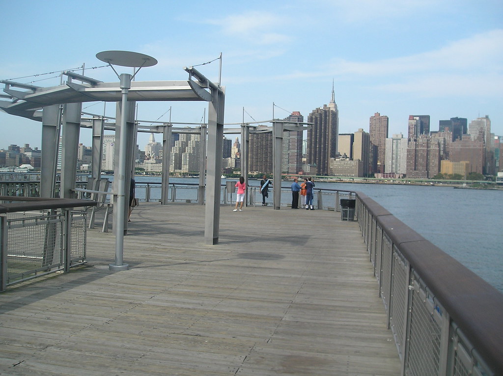
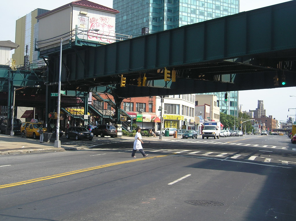
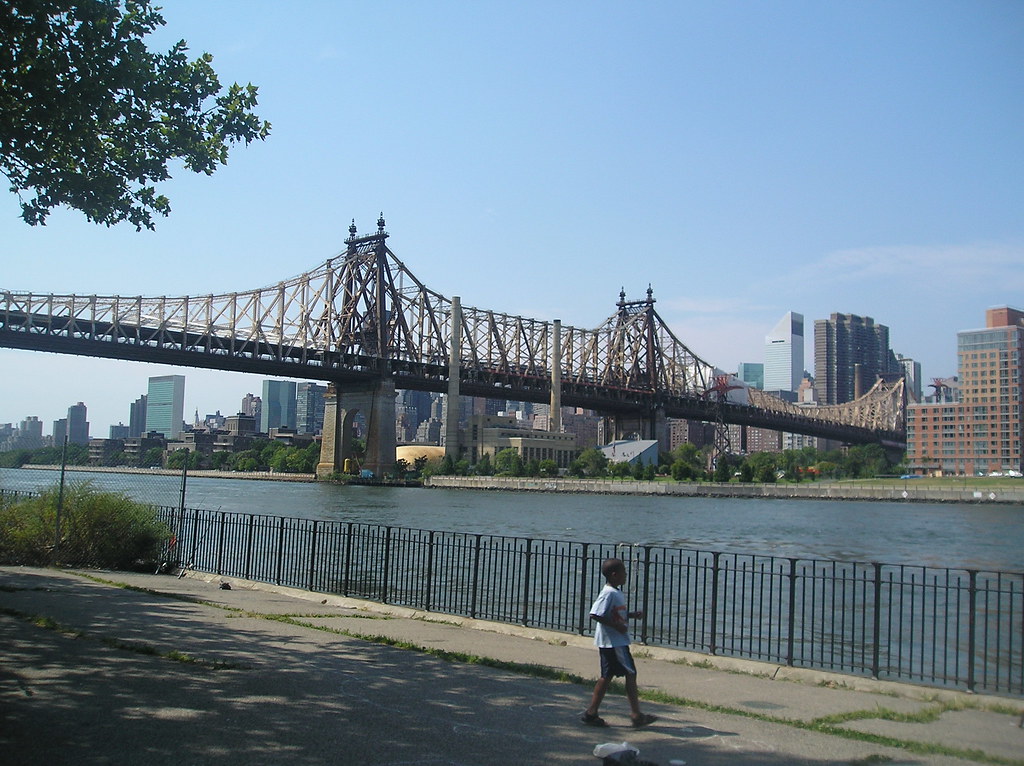
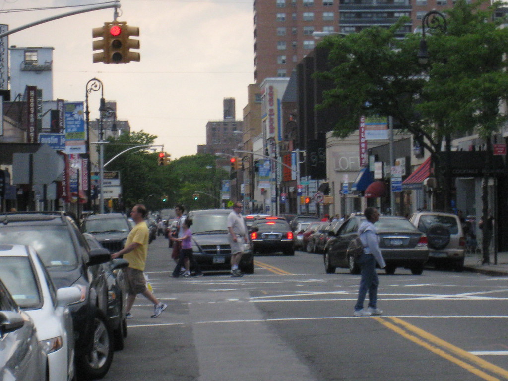
We're going to start in the northwest on the East River and work our way zig zagging the boroughs west side until we cross the north to the eastern side of the borough zig zag our way through the center and then down south to the Rockaways.

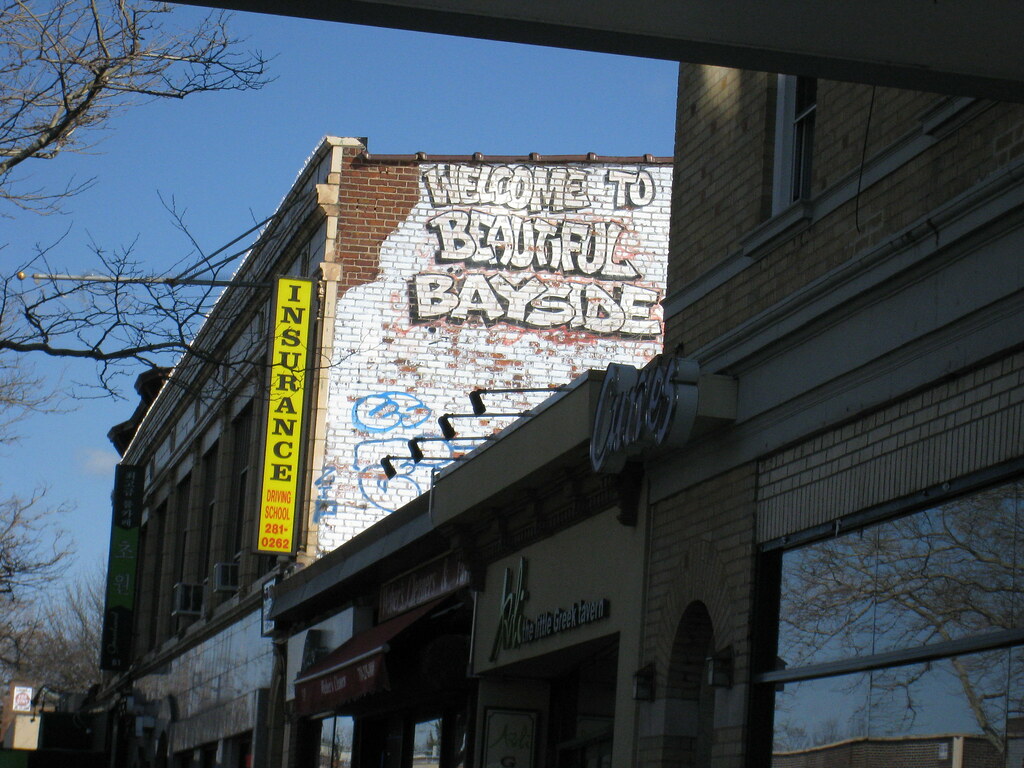
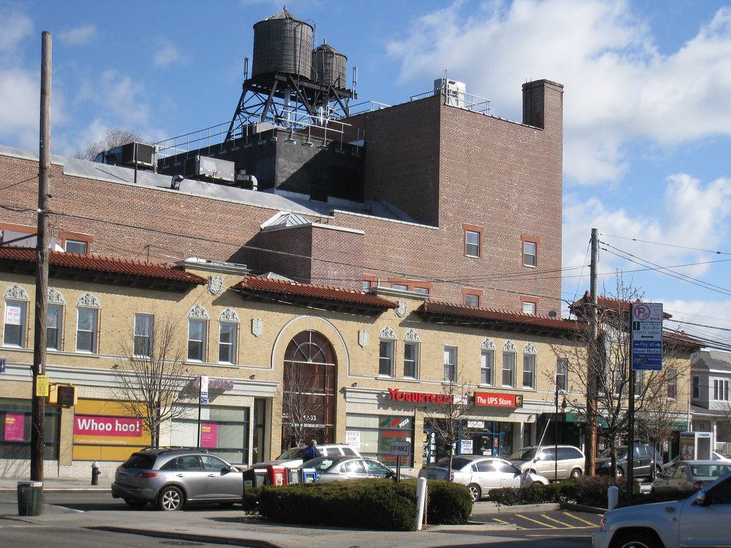
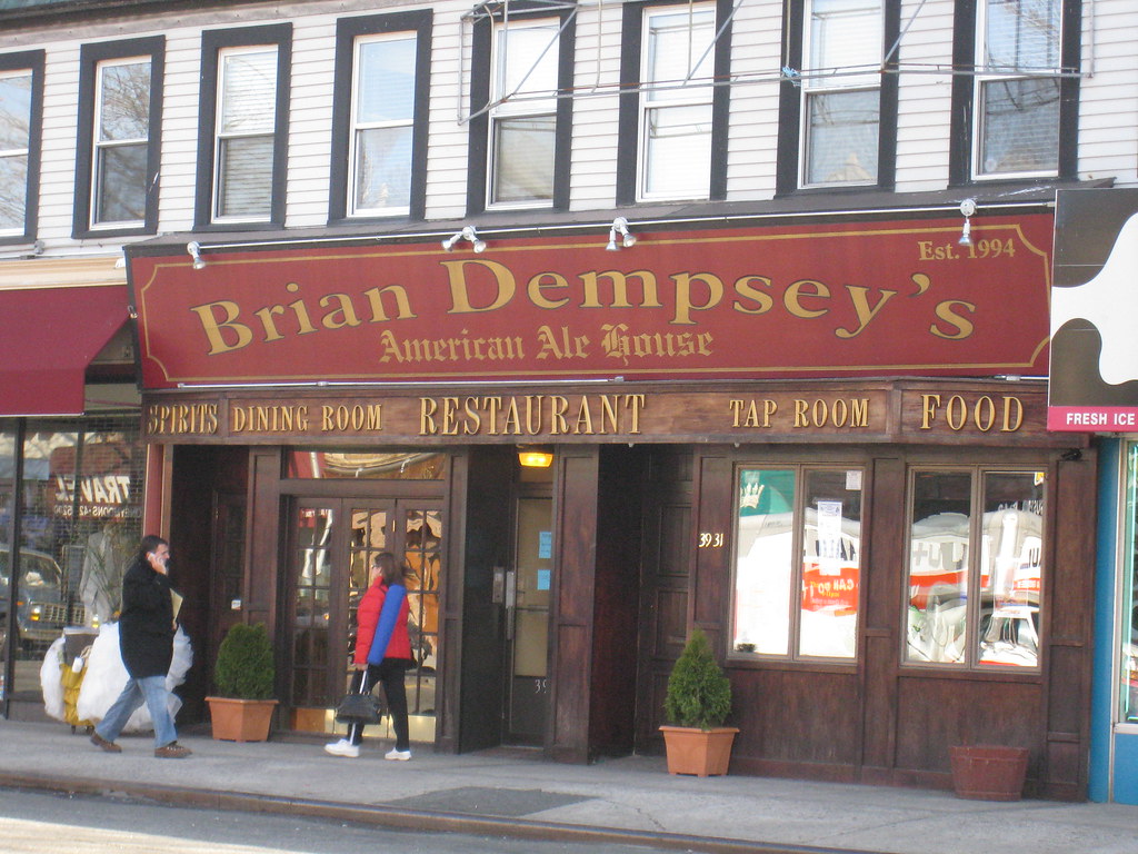
Some neighborhoods to sample before we start the tour:


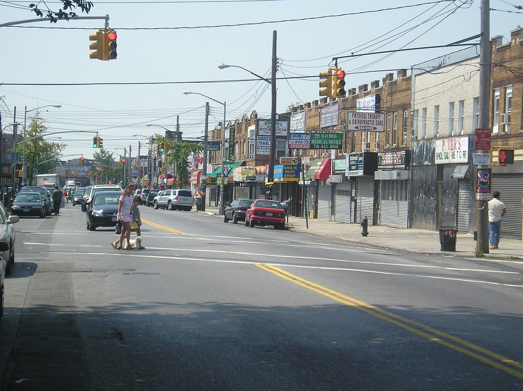
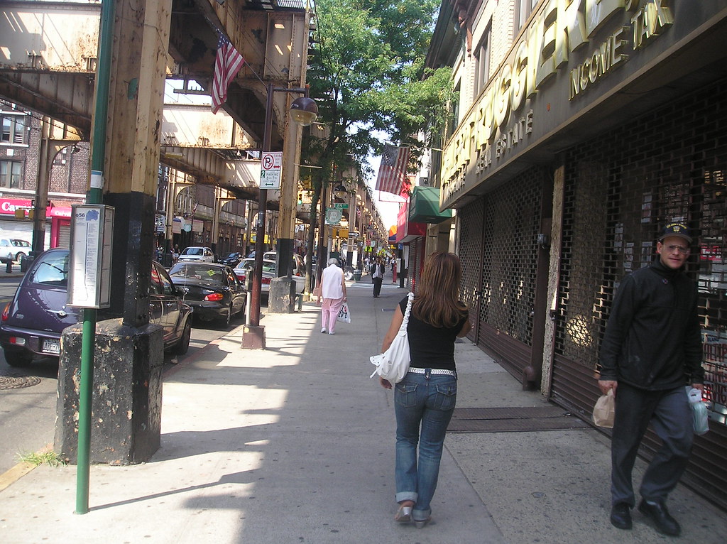
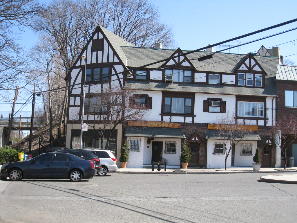
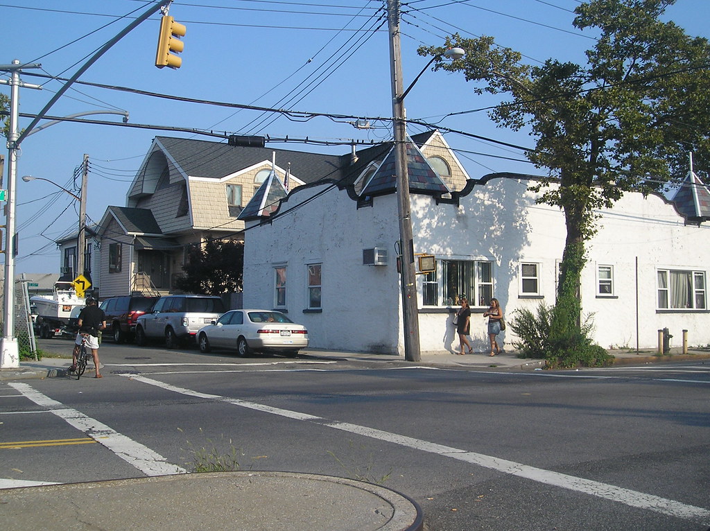
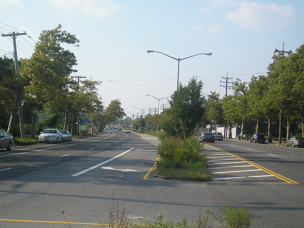
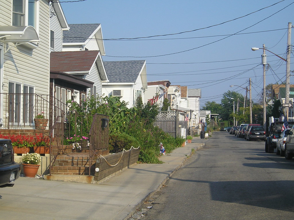
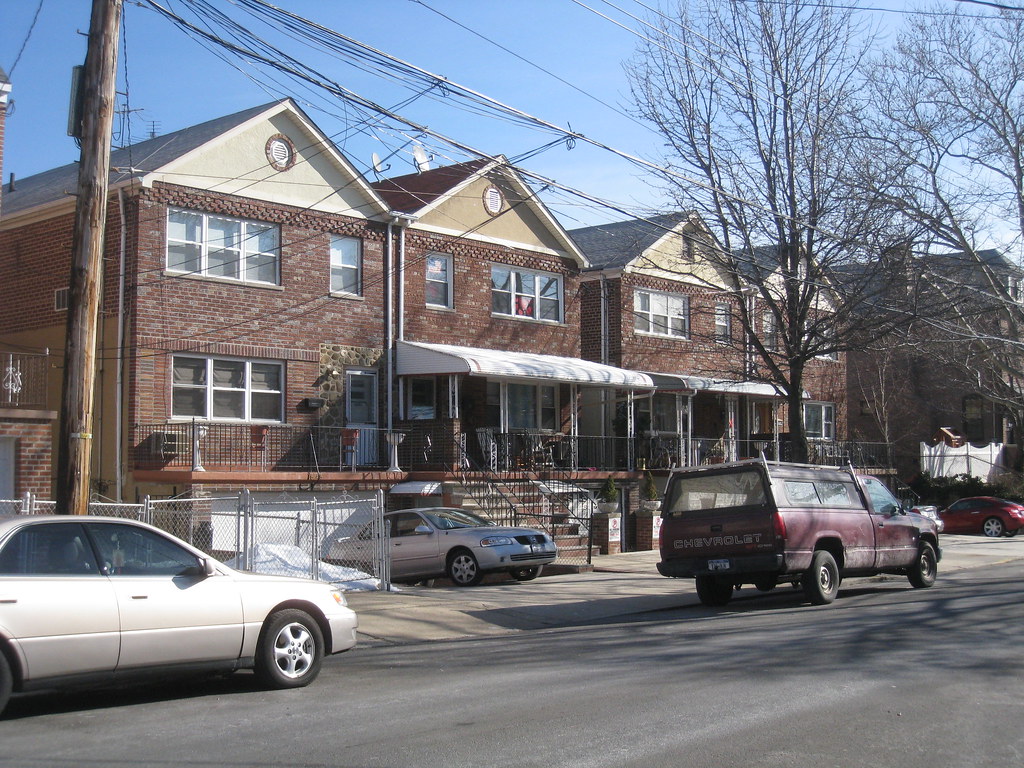
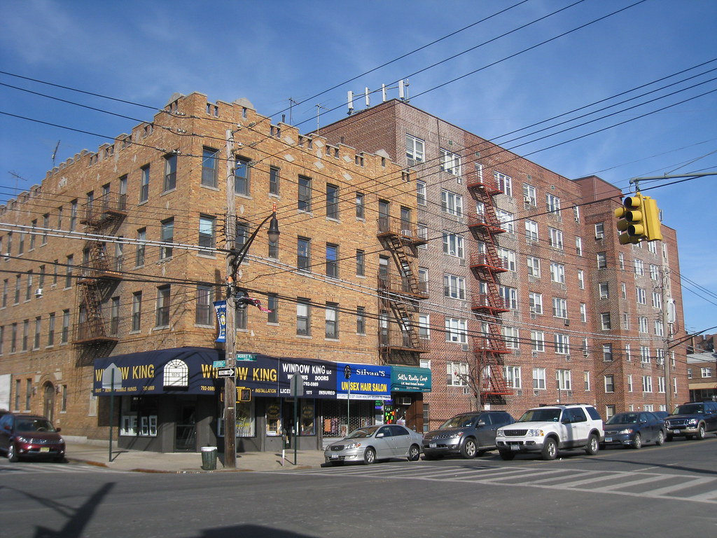
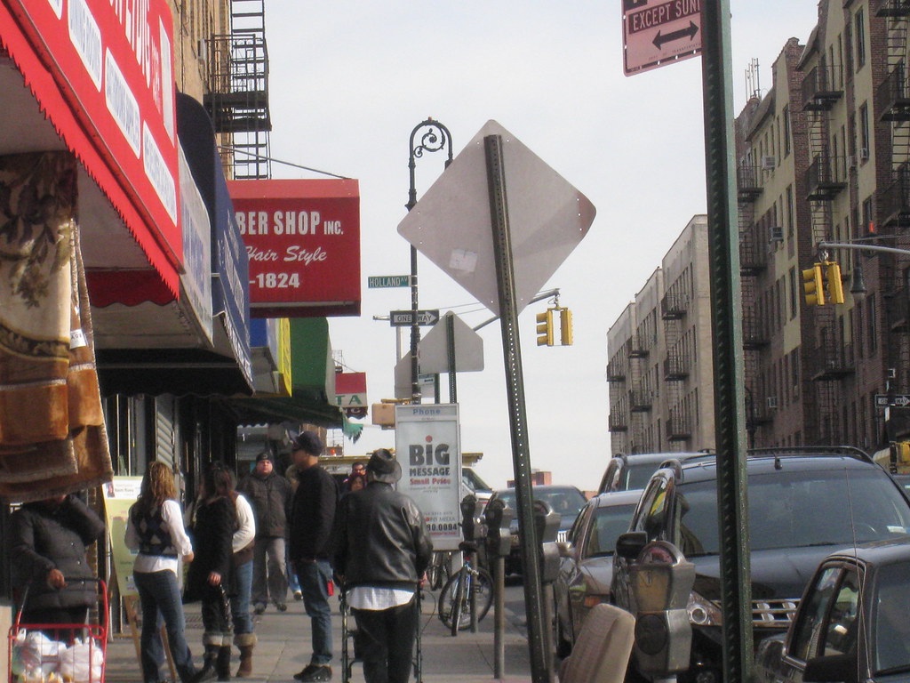
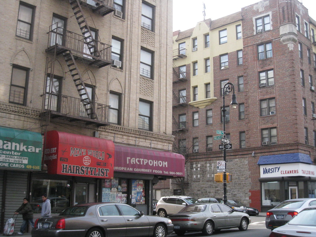
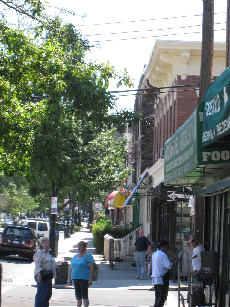
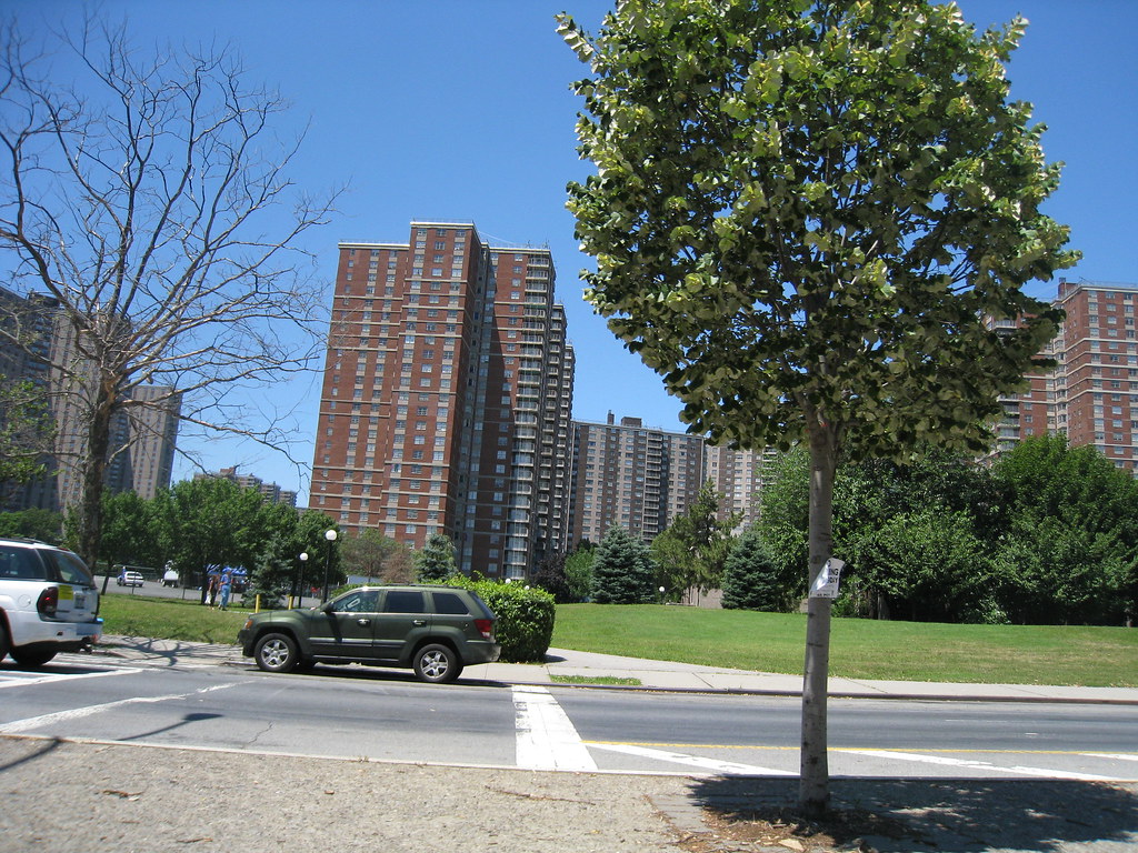
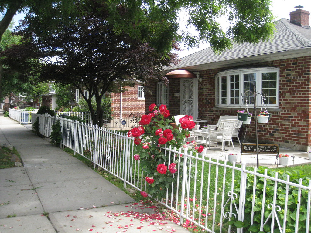
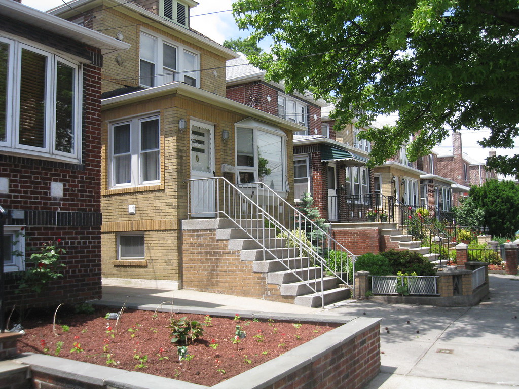
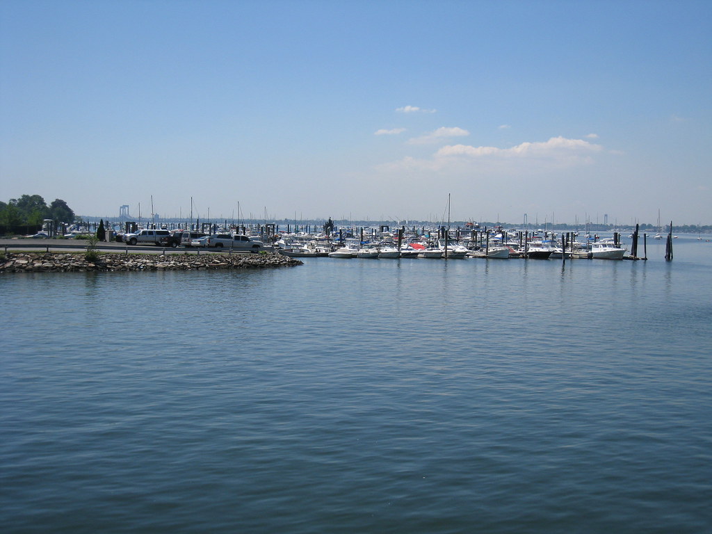
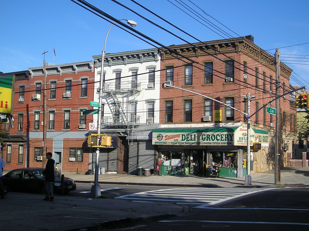
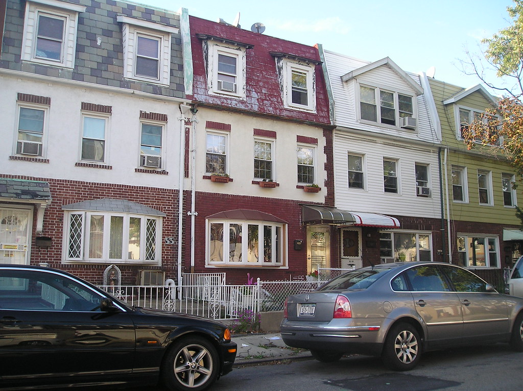
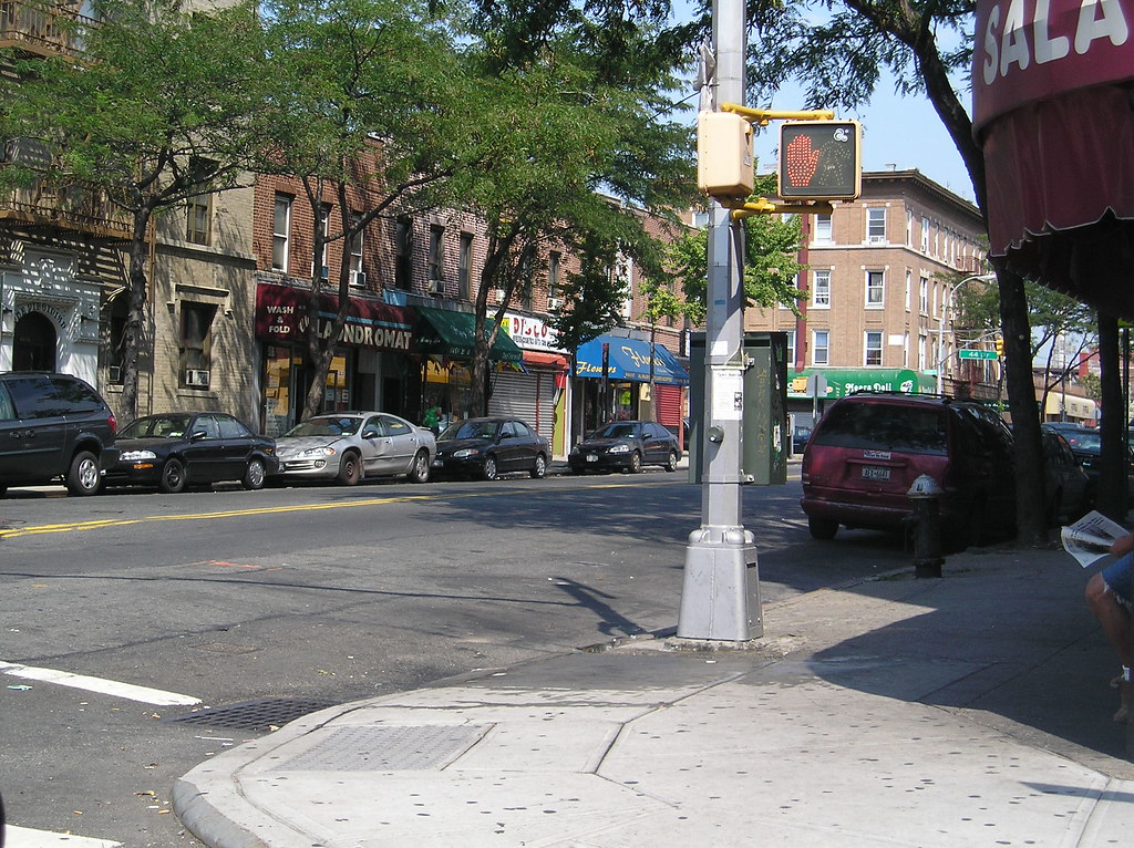
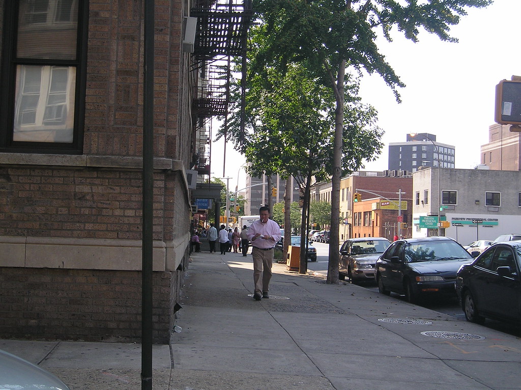
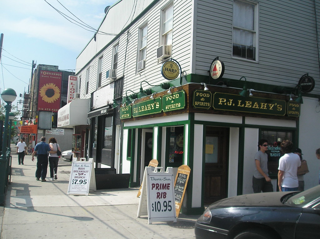
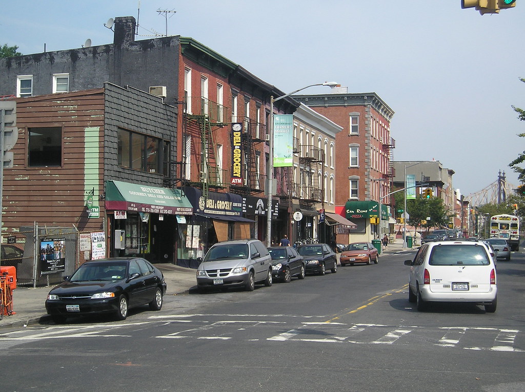
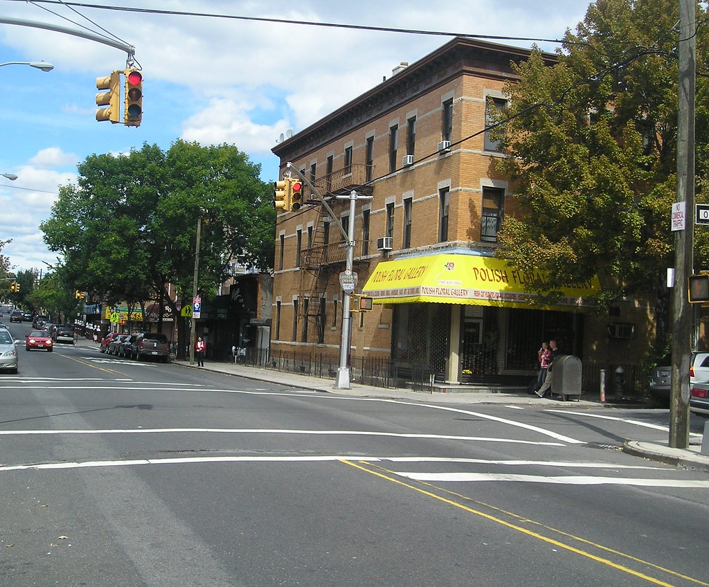
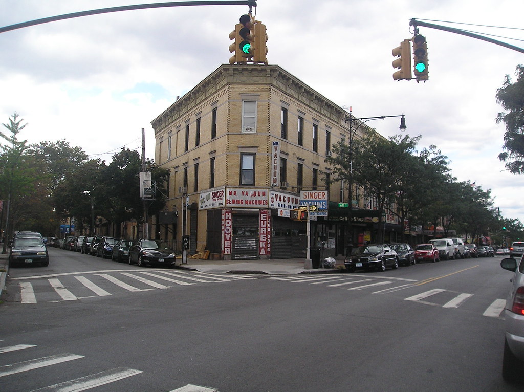
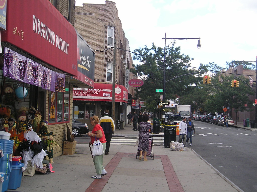
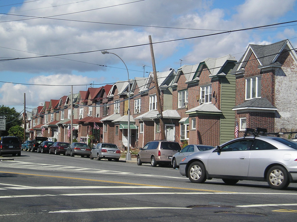
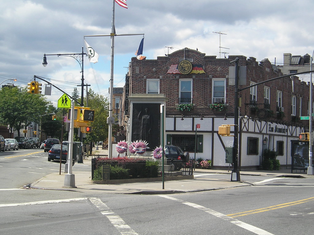
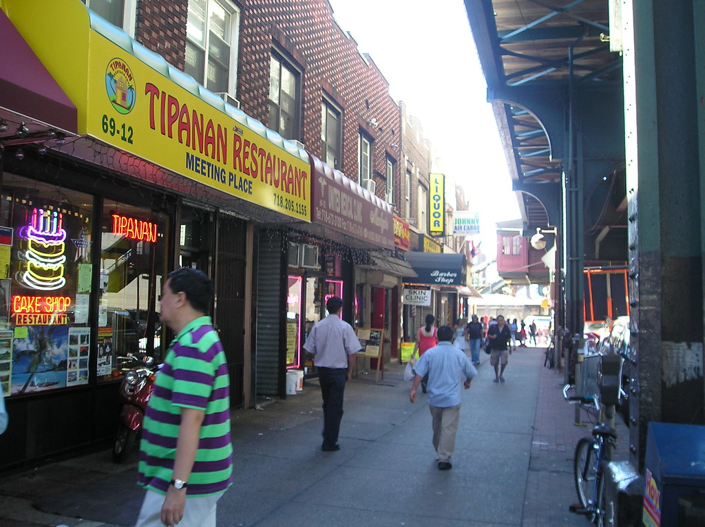
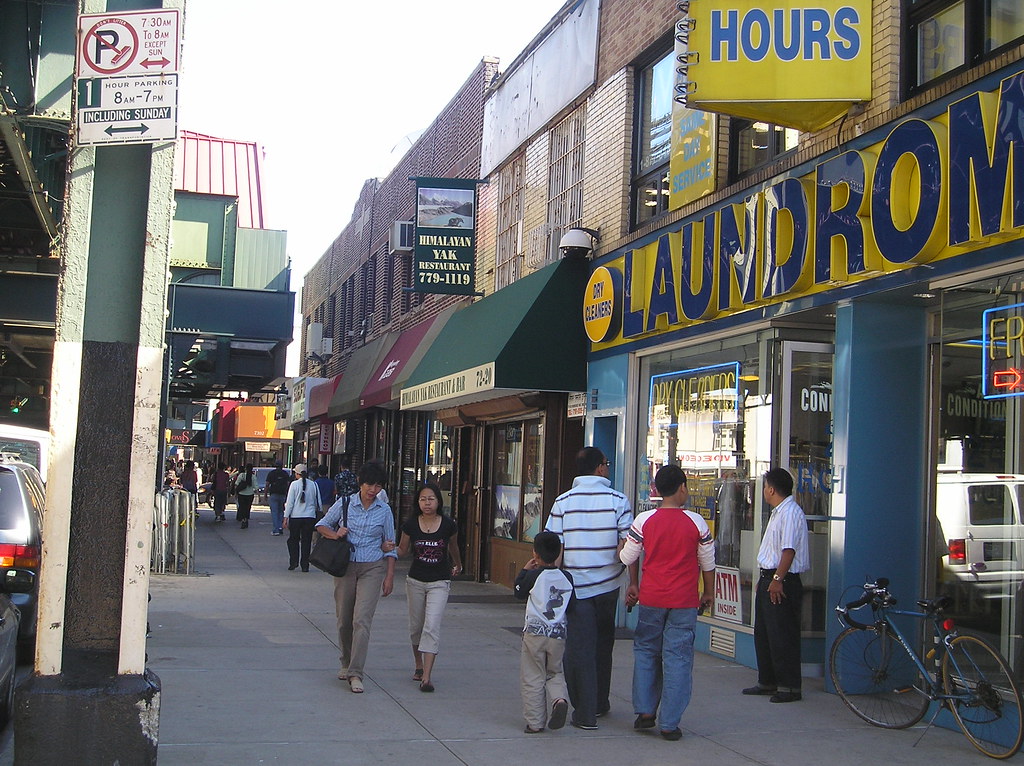
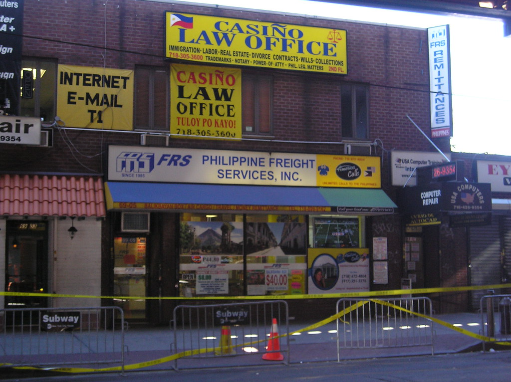
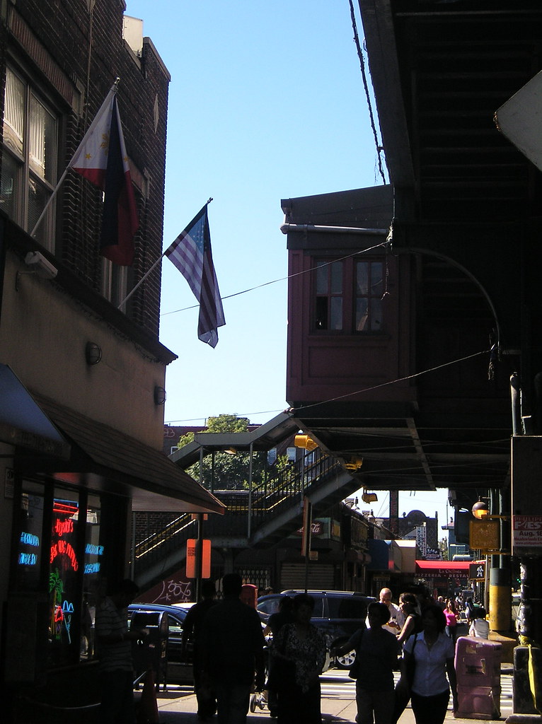
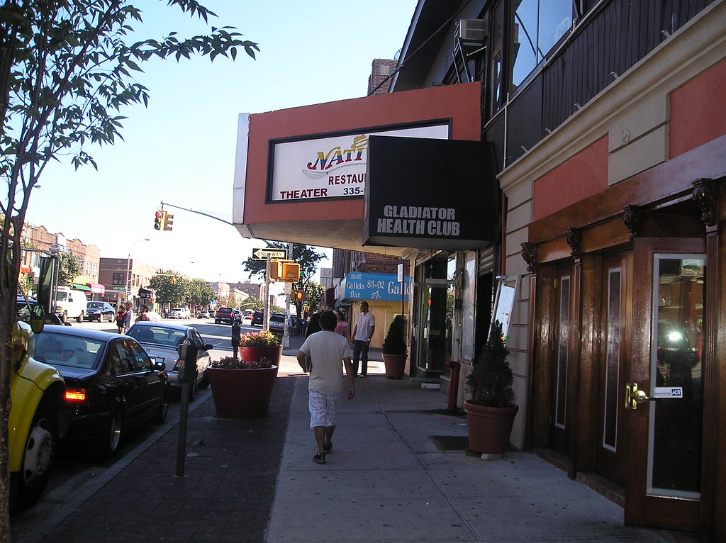
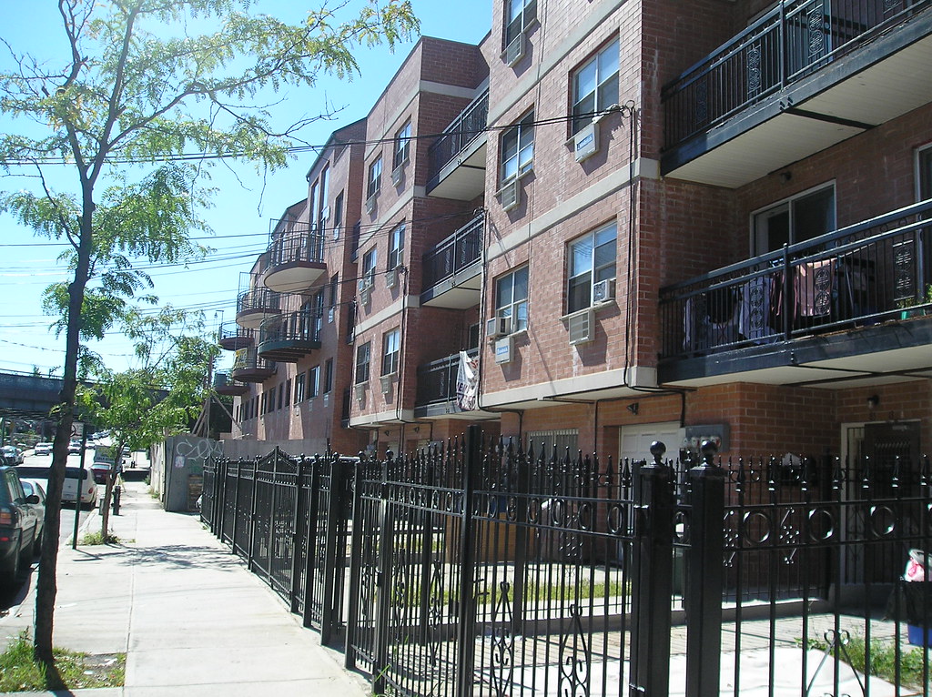
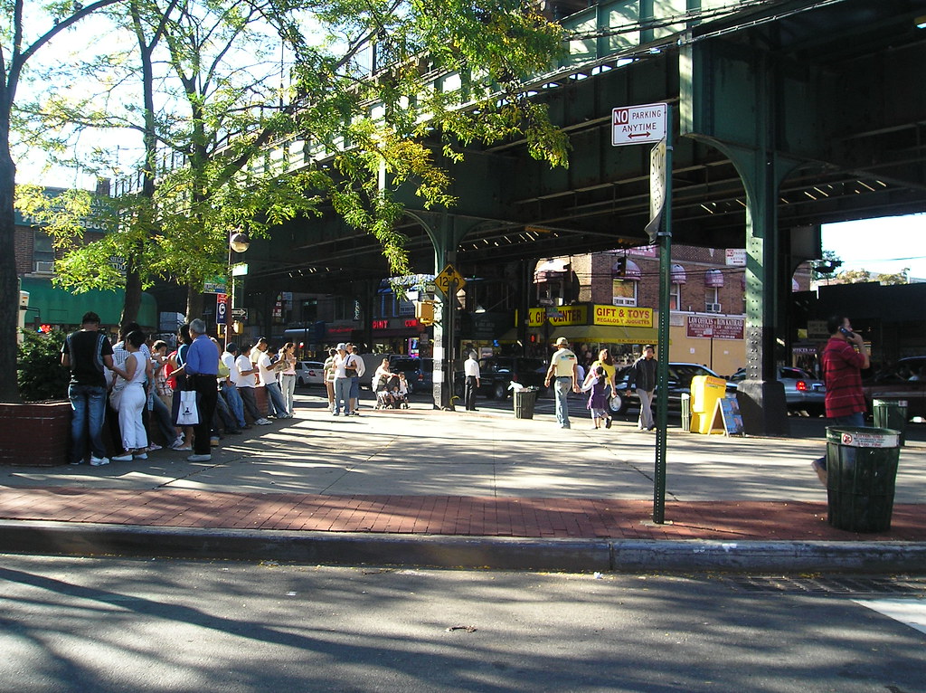
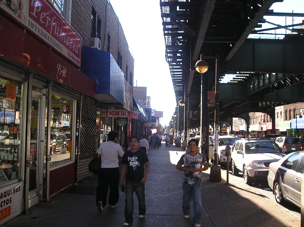
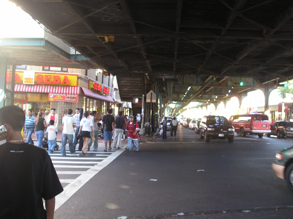
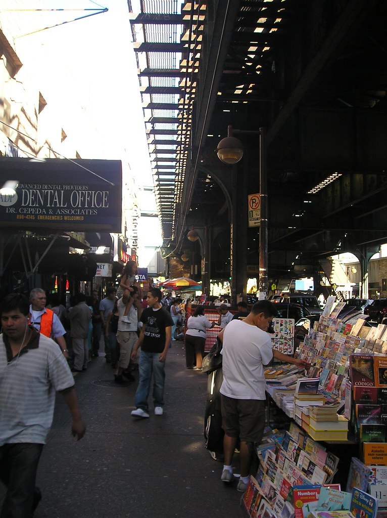
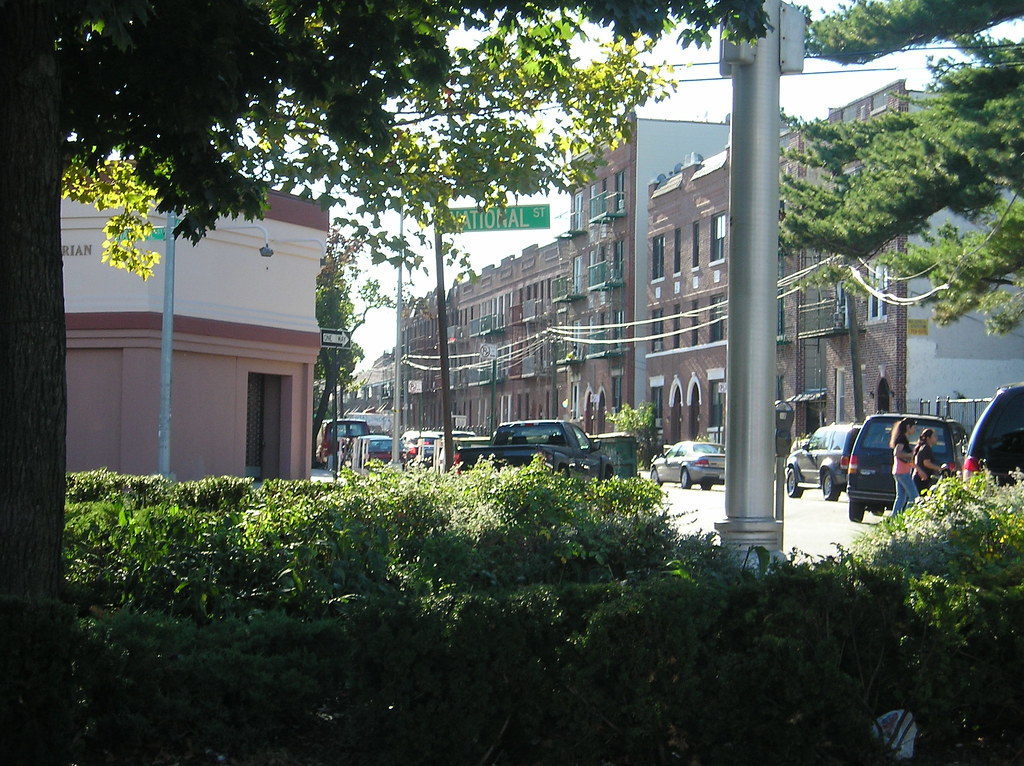
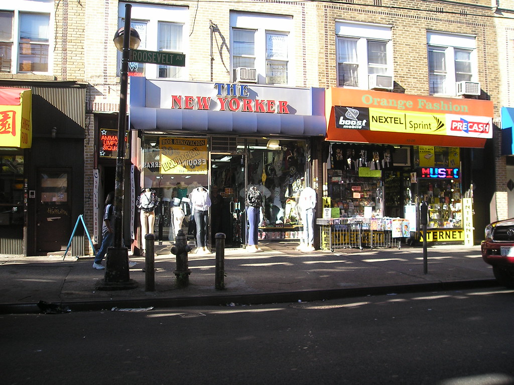
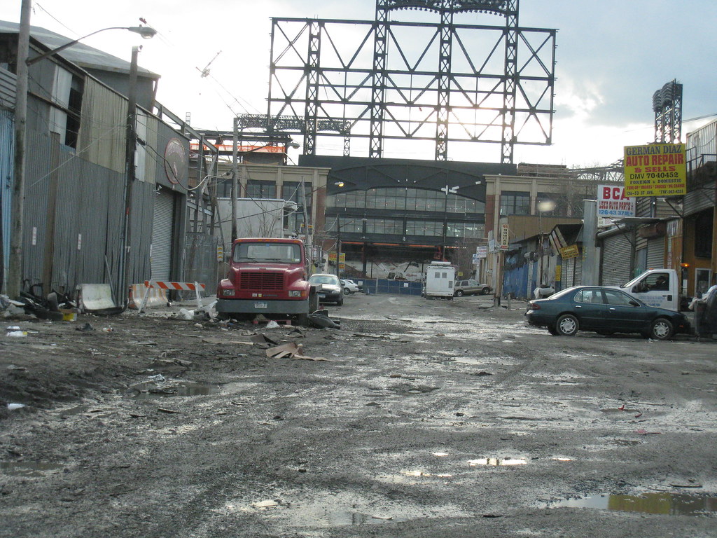
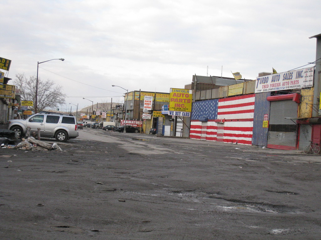
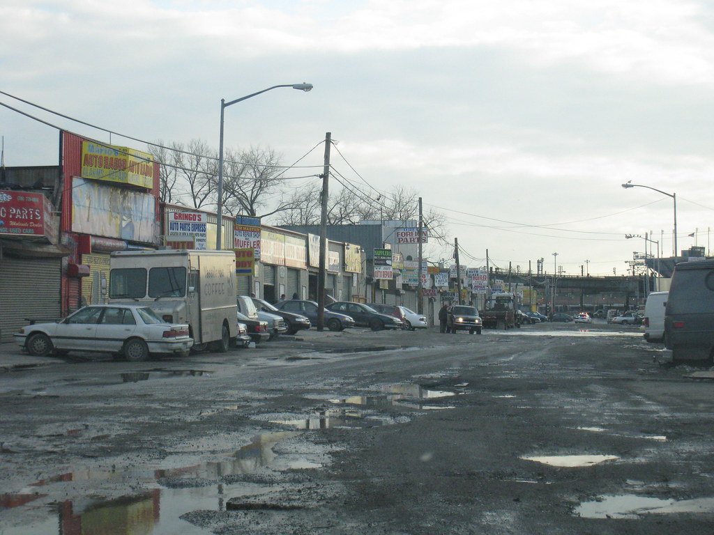
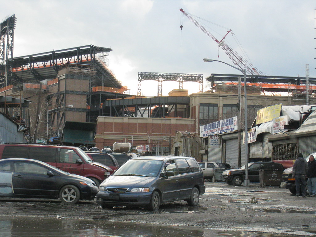
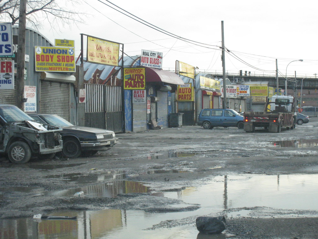
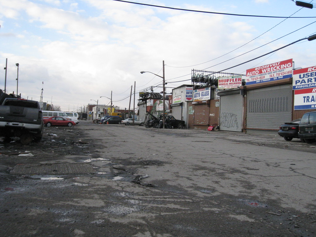
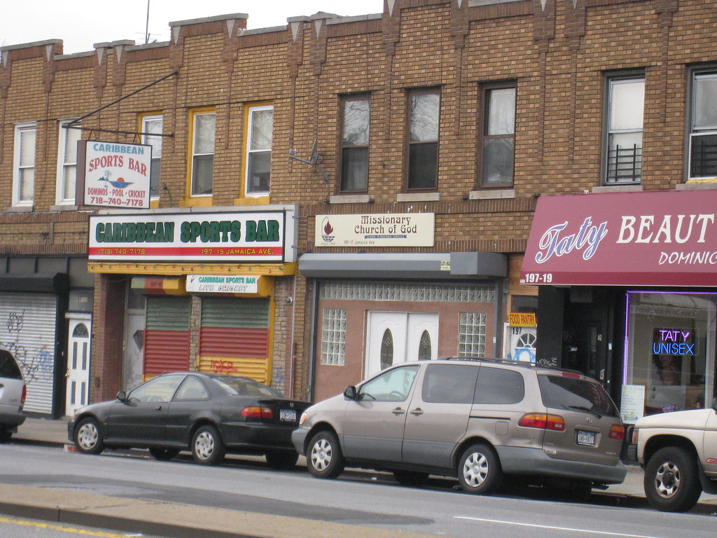
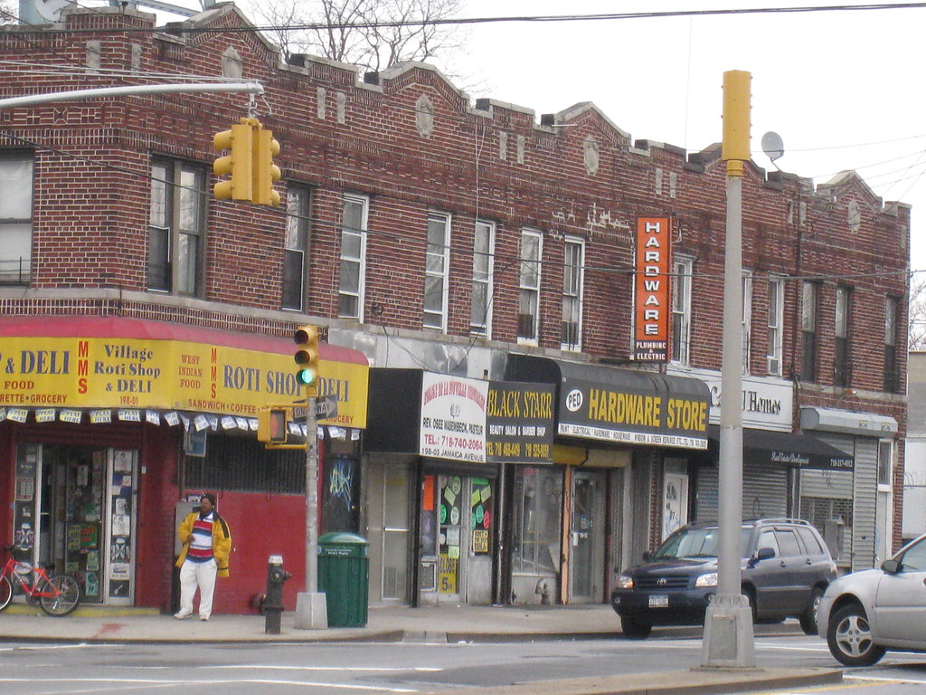
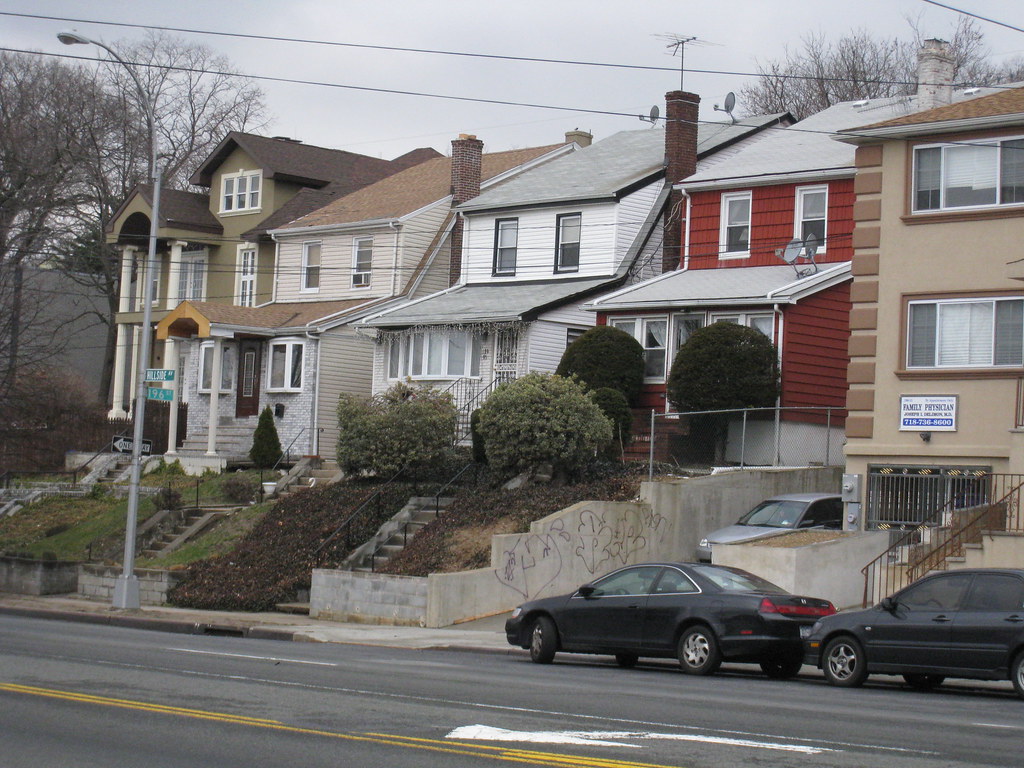
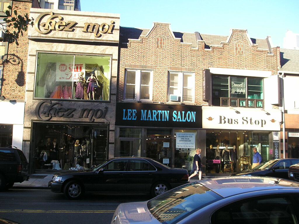
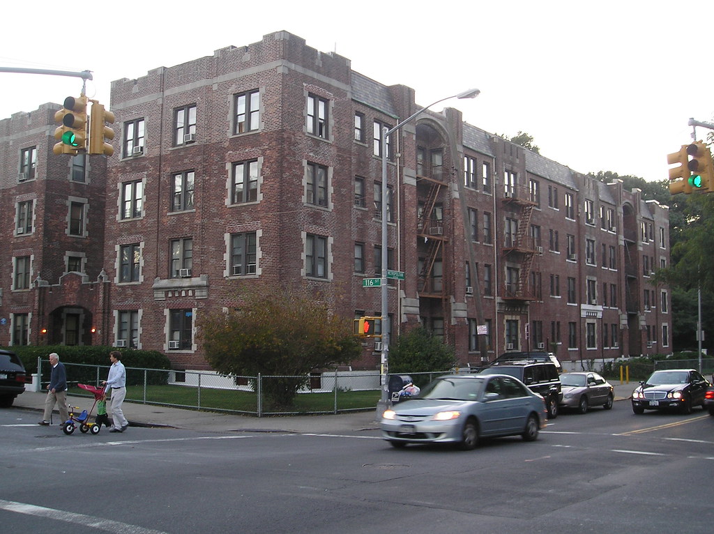
Ozone Park is a working class residential neighborhood in south western Queens. During the reconstruction era after the Civil War the nation fell into an economic depression. These hard times forced residents in the cities of Manhattan and Brooklyn to look for better opportunities on cheaper land. Ozone Park was mostly an undeveloped area where many settled. Most of these residents were low-middle income working class German and Irish immigrants who carved a community out of the coastal farmland. The area was working class right from the beginning. As the economy progressed the neighborhood became popular for its affordability. The Long Island Railroad built through making access to Manhattan more convenient. Ozone Park had developed into the ideal working class suburb far unlike the super dense neighborhoods and fashionable garden cities popping up at the time. Folks in the city and street car suburbs considered south Queens, the country in a time when the land was becoming scarce and the working middle class was emerging. The neighborhood was attractive to families looking to build a life, less chaotic. The fact that it was in close proximity to Jamaica Bay and the Rockaways at the coast didn’t hurt growth. By the turn of the 20th century Ozone Park was a commuter suburb and Italians moved to the area in droves. They came to dominate the community and would do so right on up until the 1980’s. It was at this time Indians, Pakistanis and Bangladeshis moved into the area and their stamp on the neighborhood is evident today.


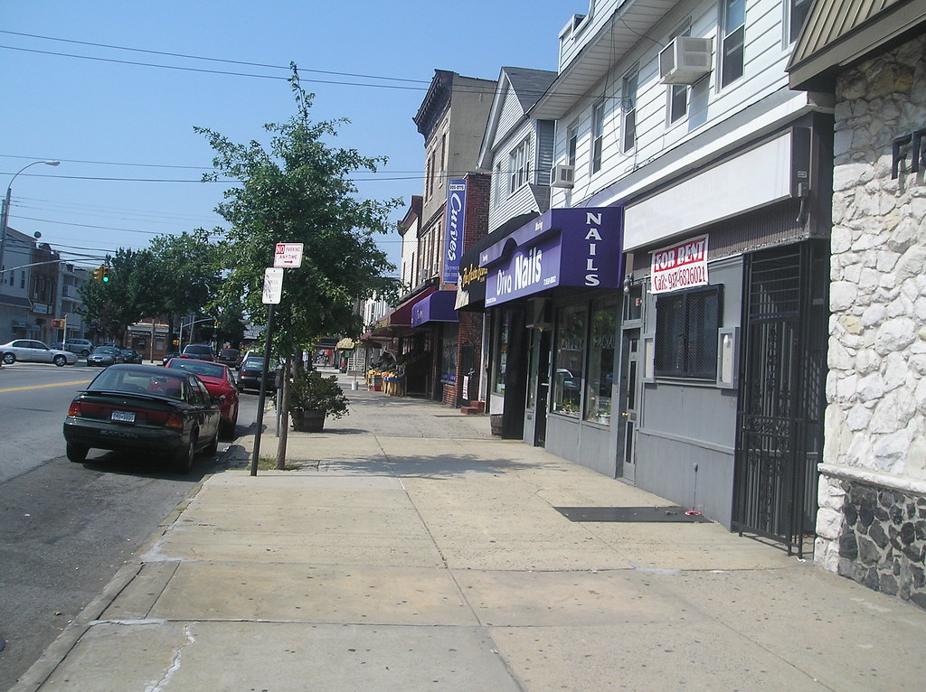
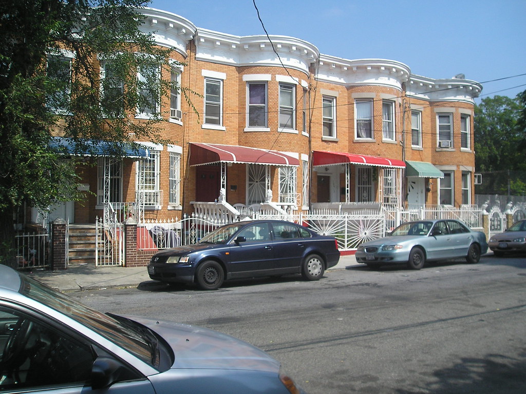
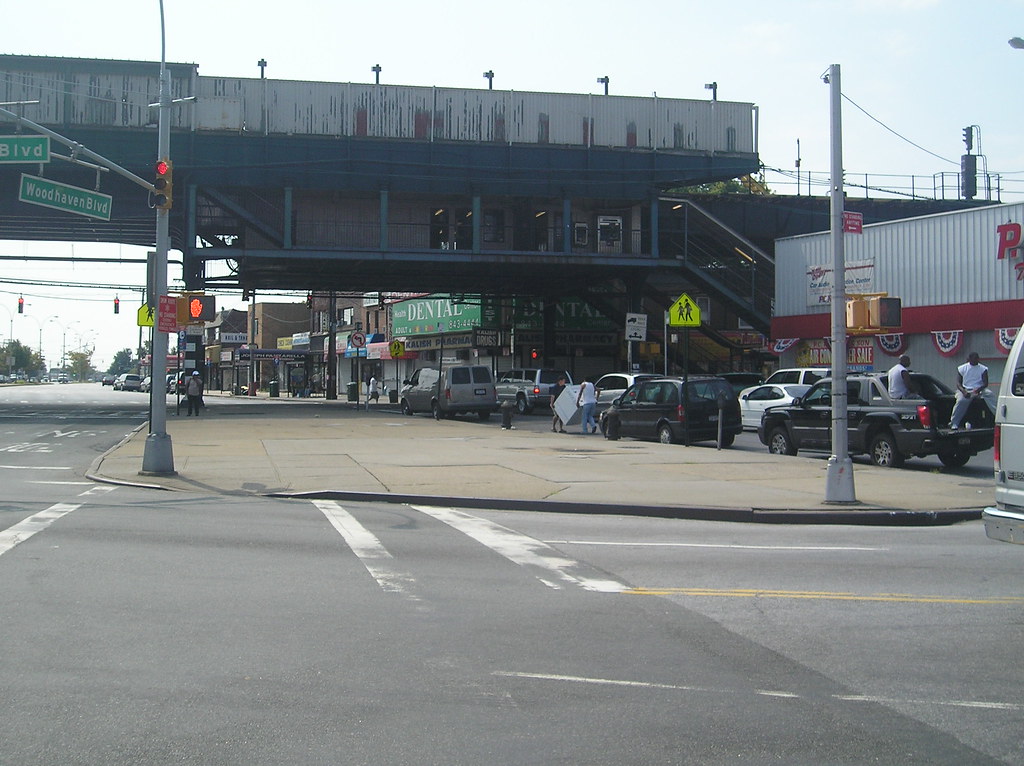
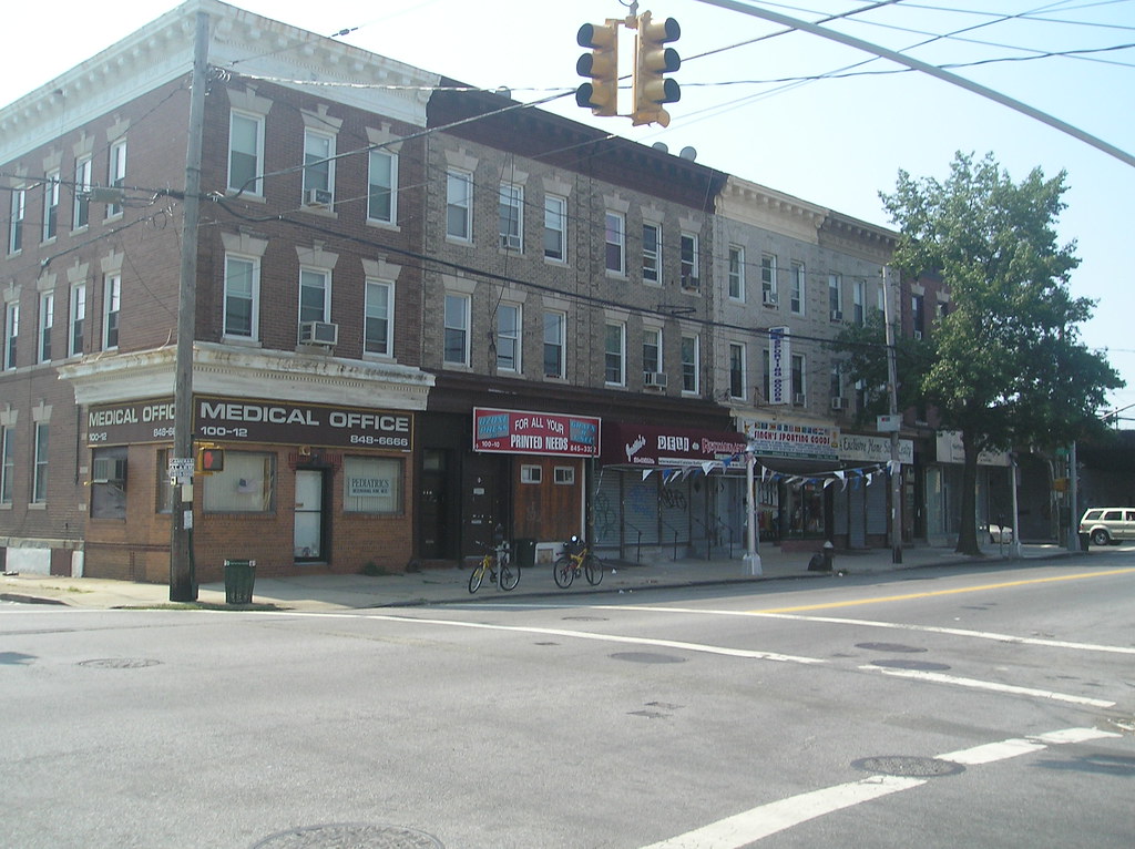
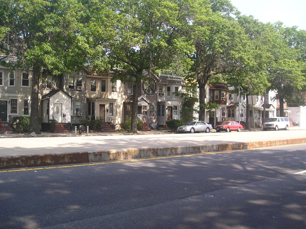
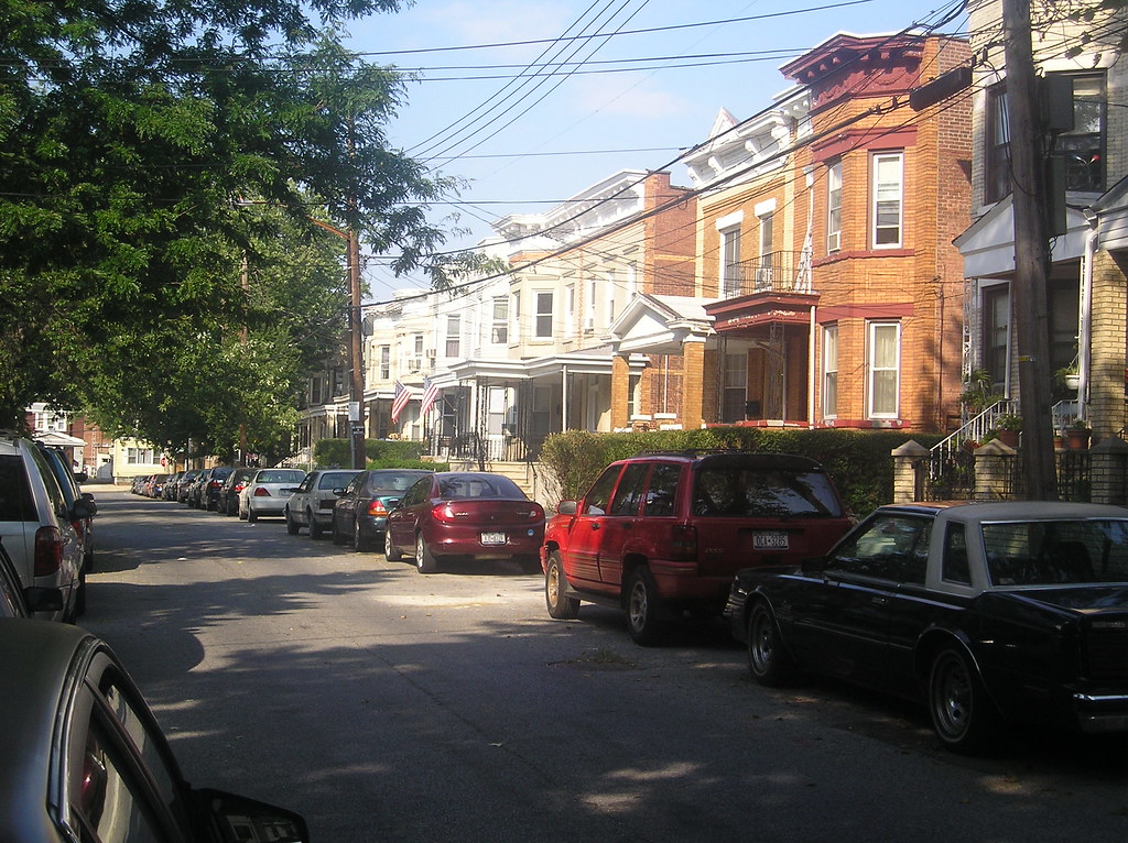
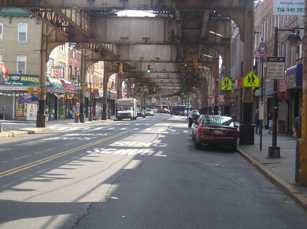
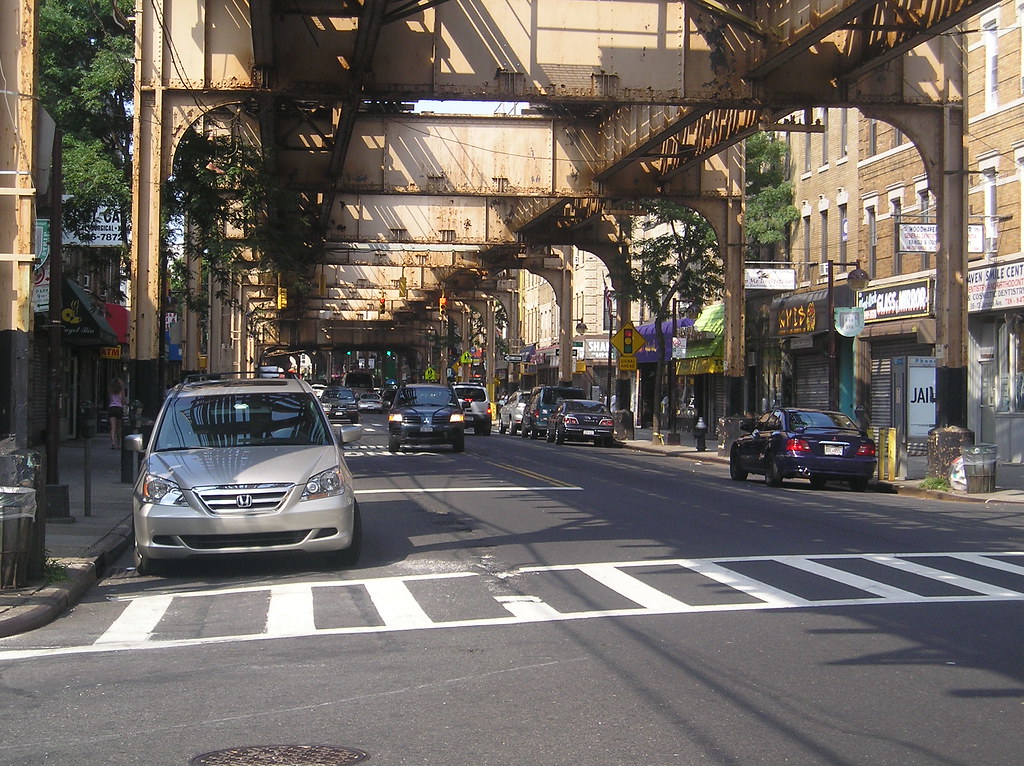
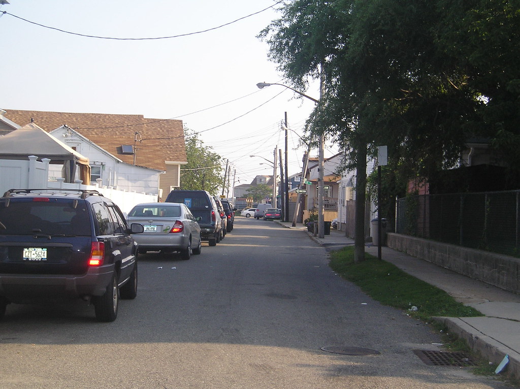
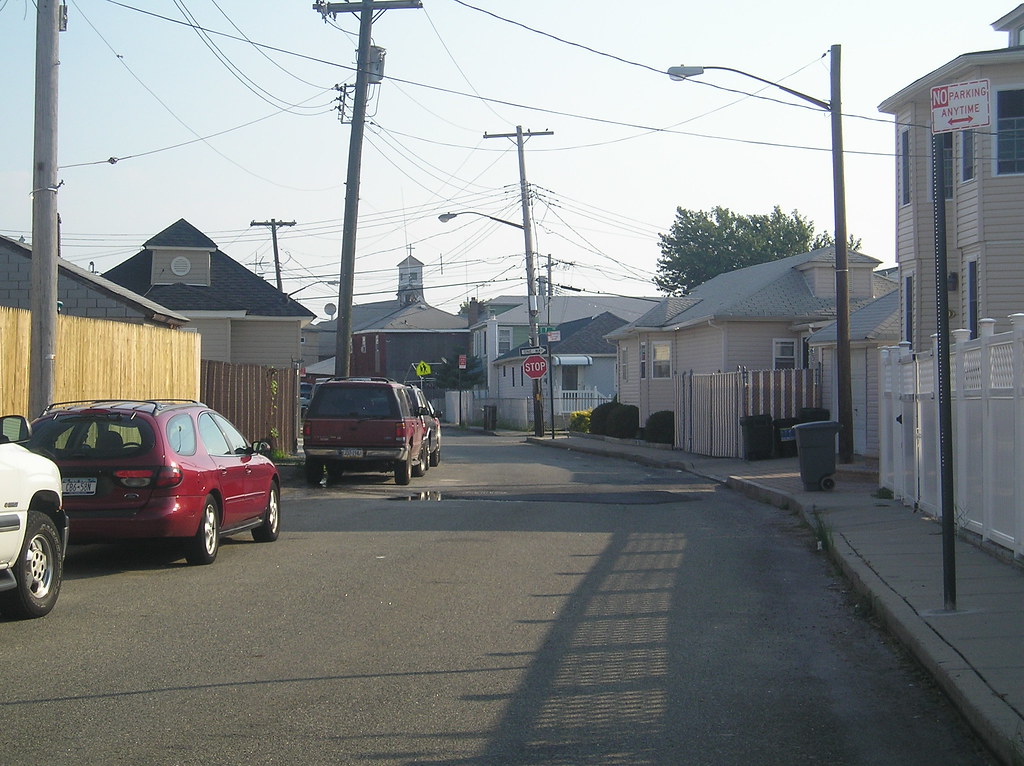
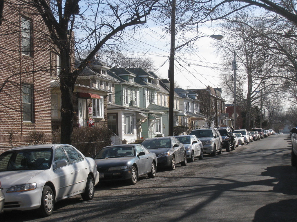
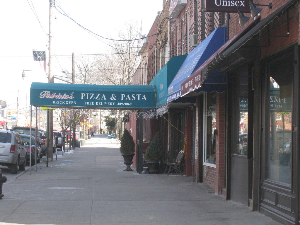
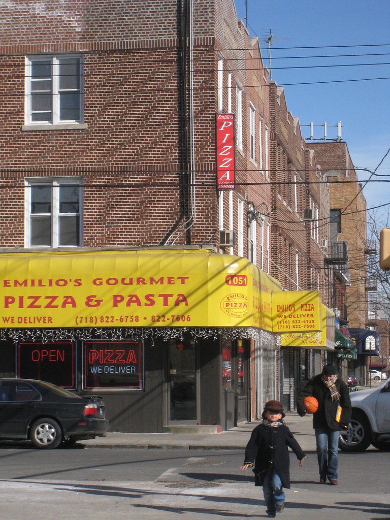
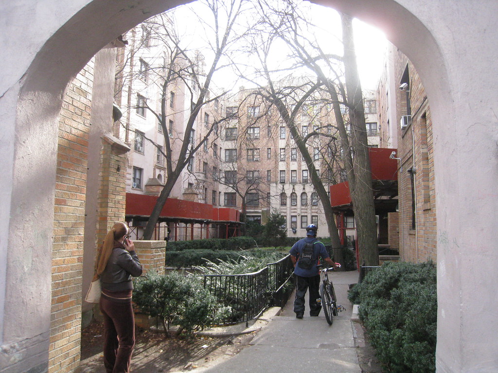
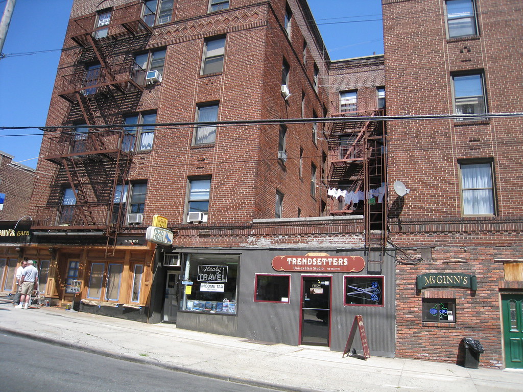
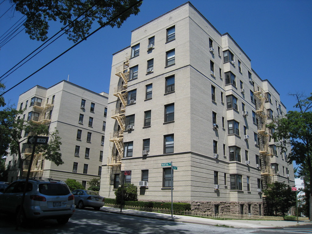
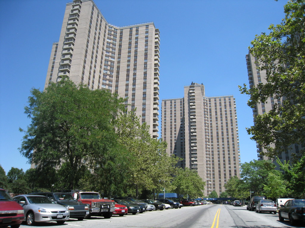
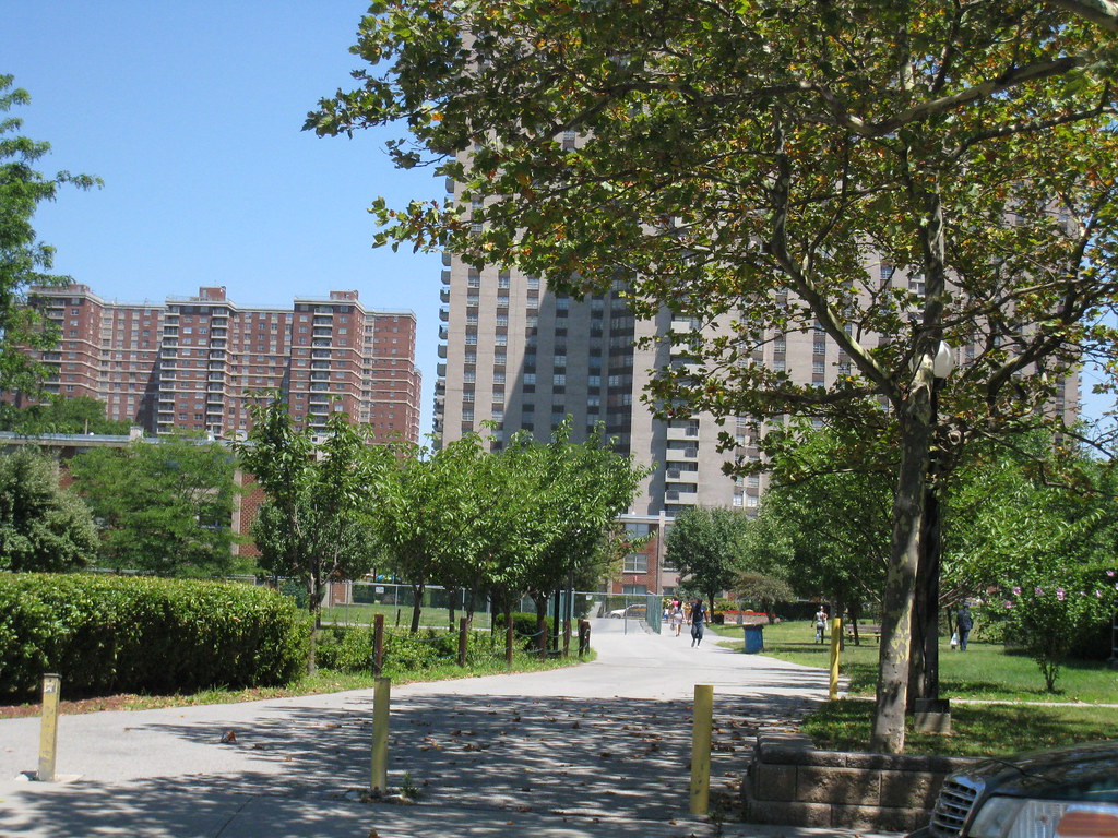
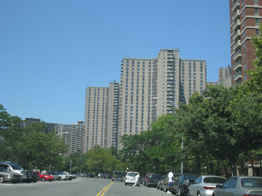
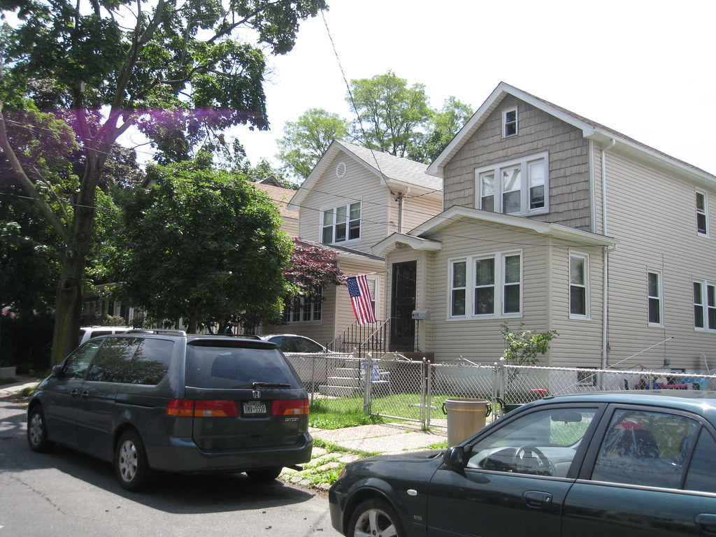
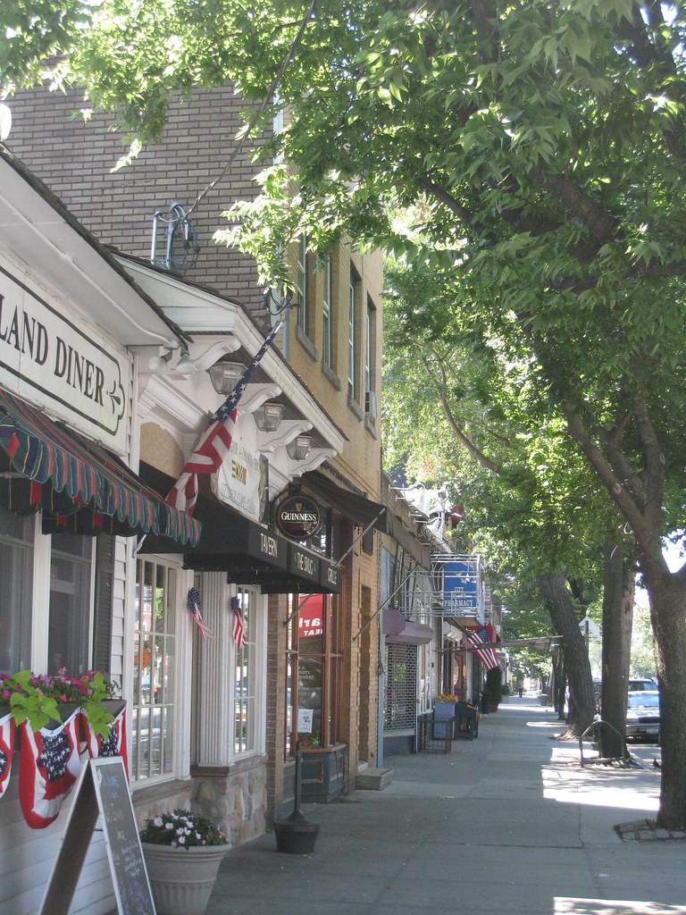
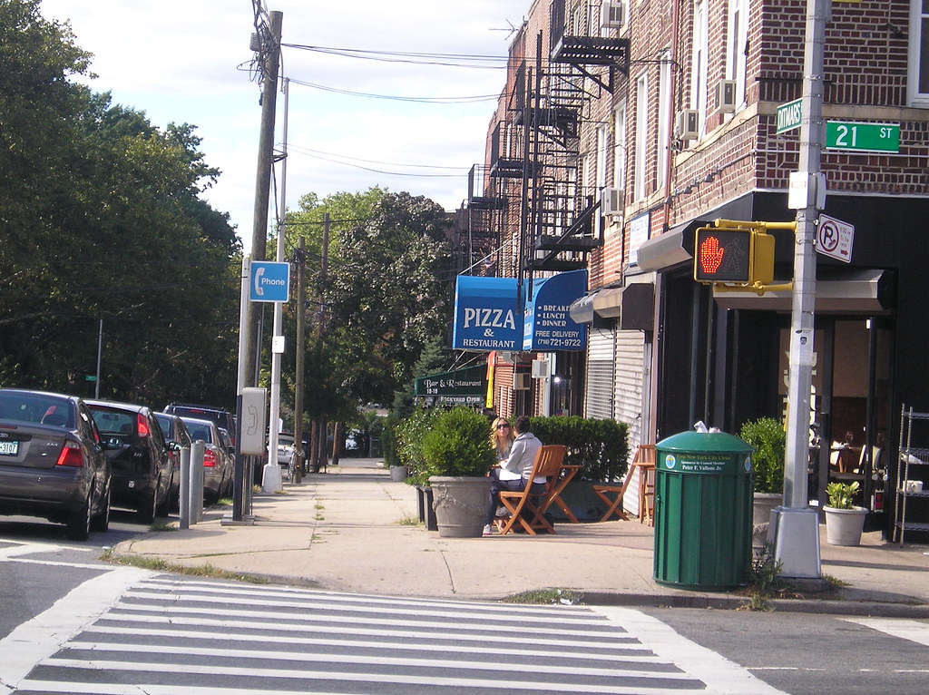
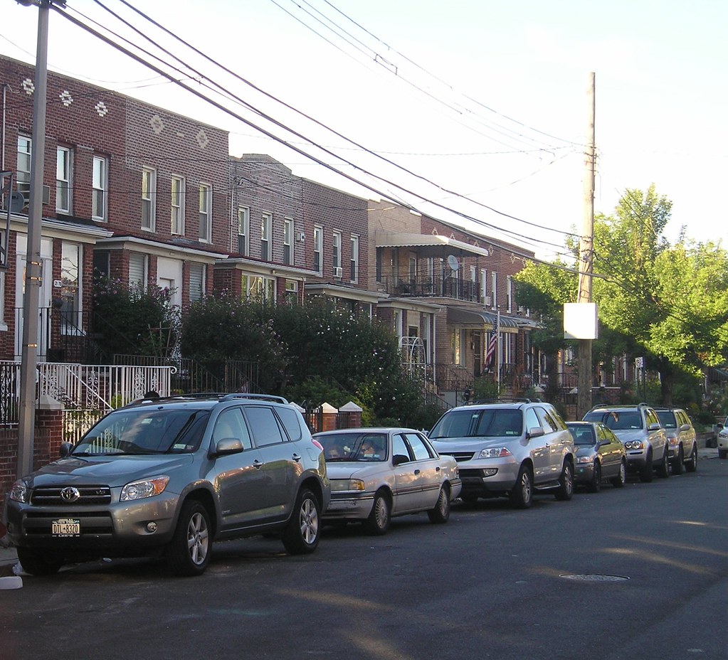
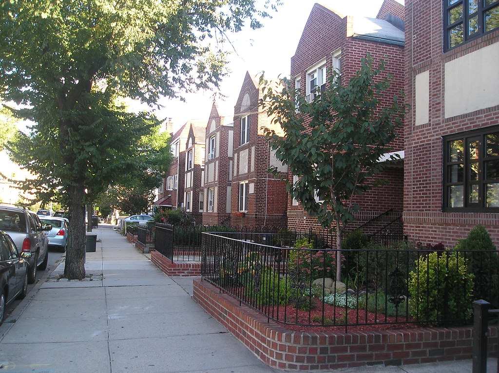
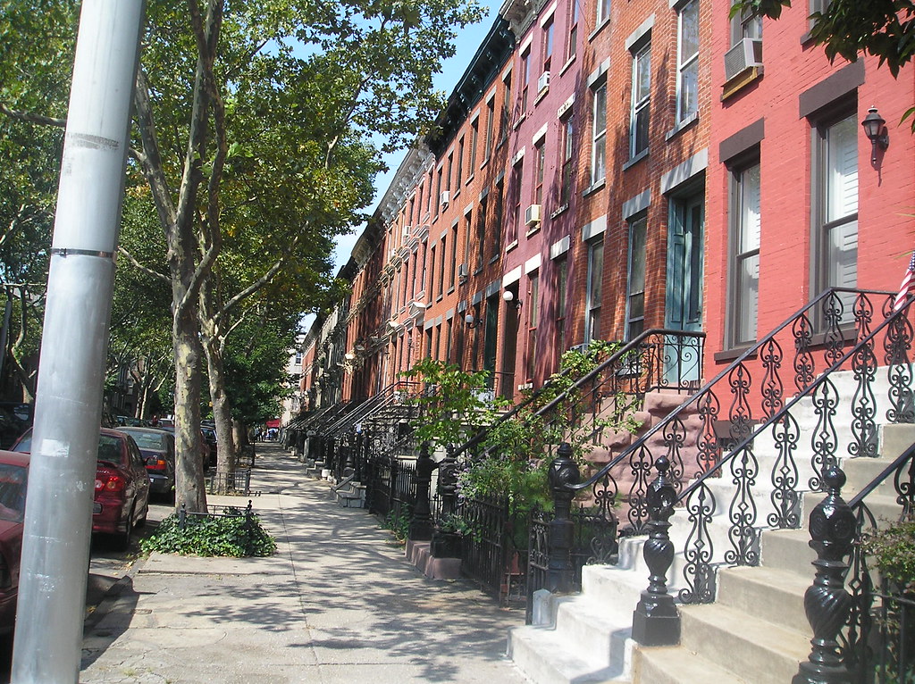
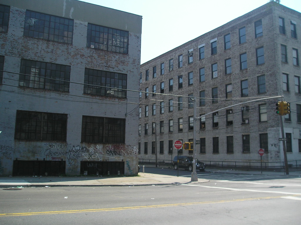
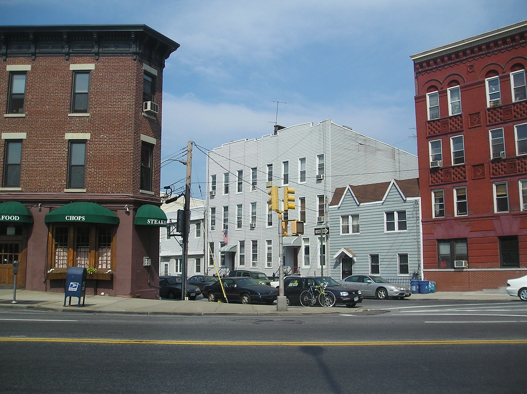
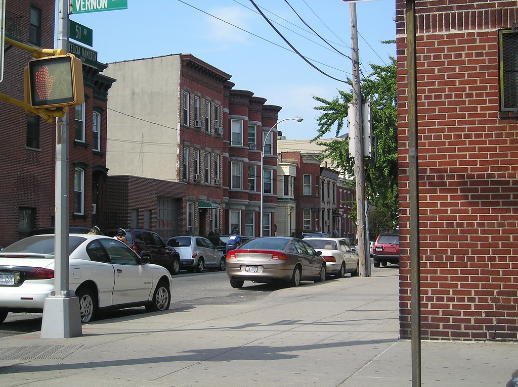
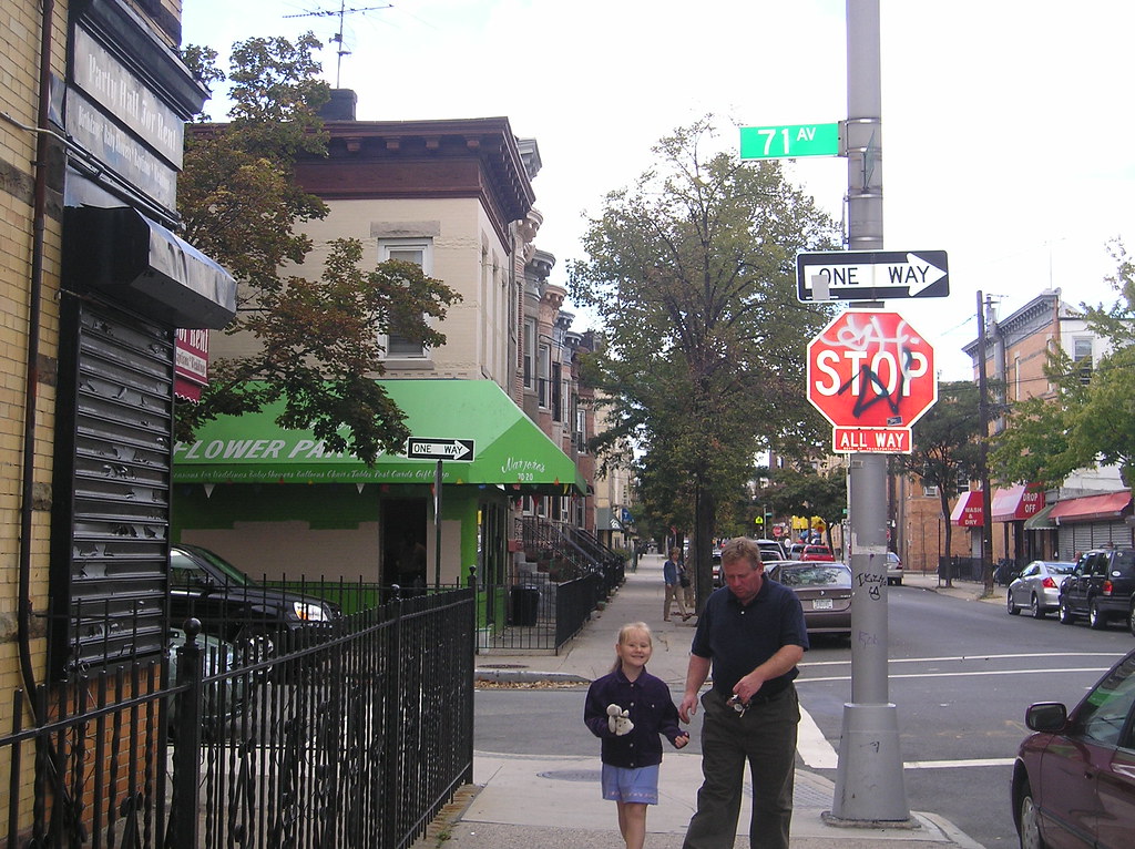
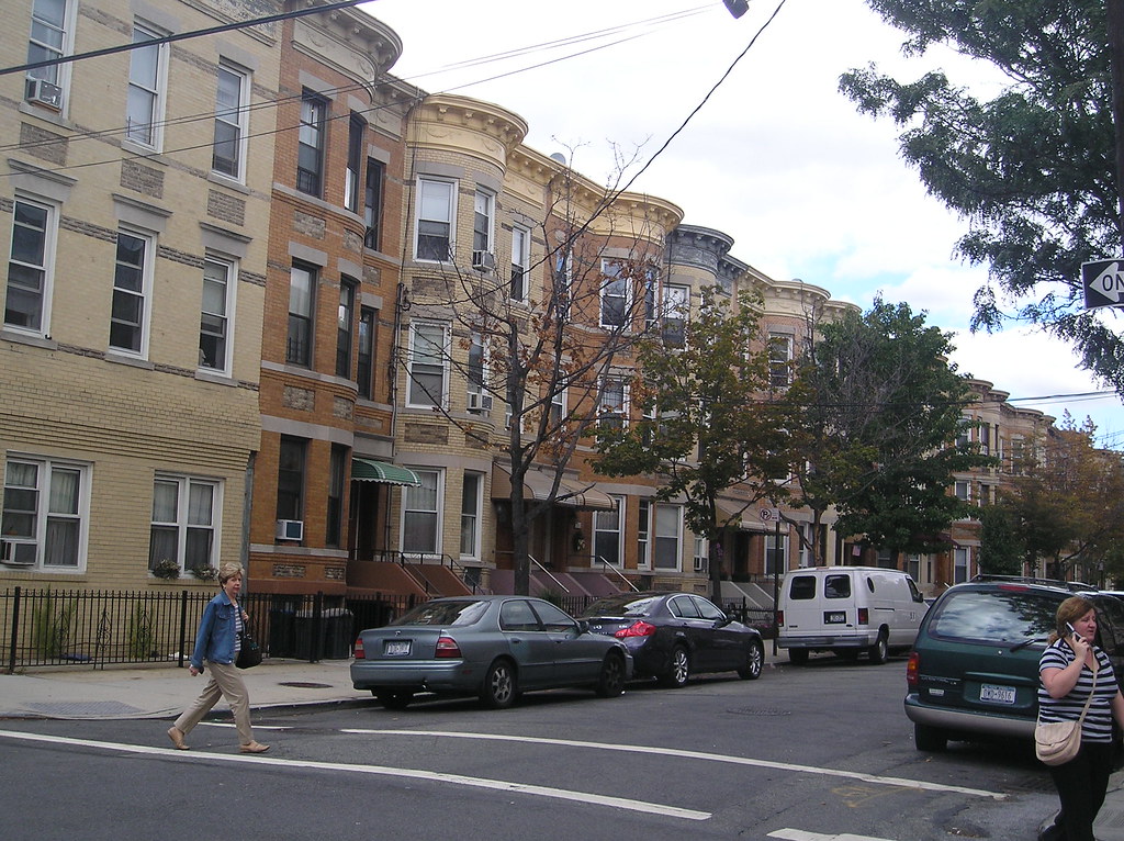
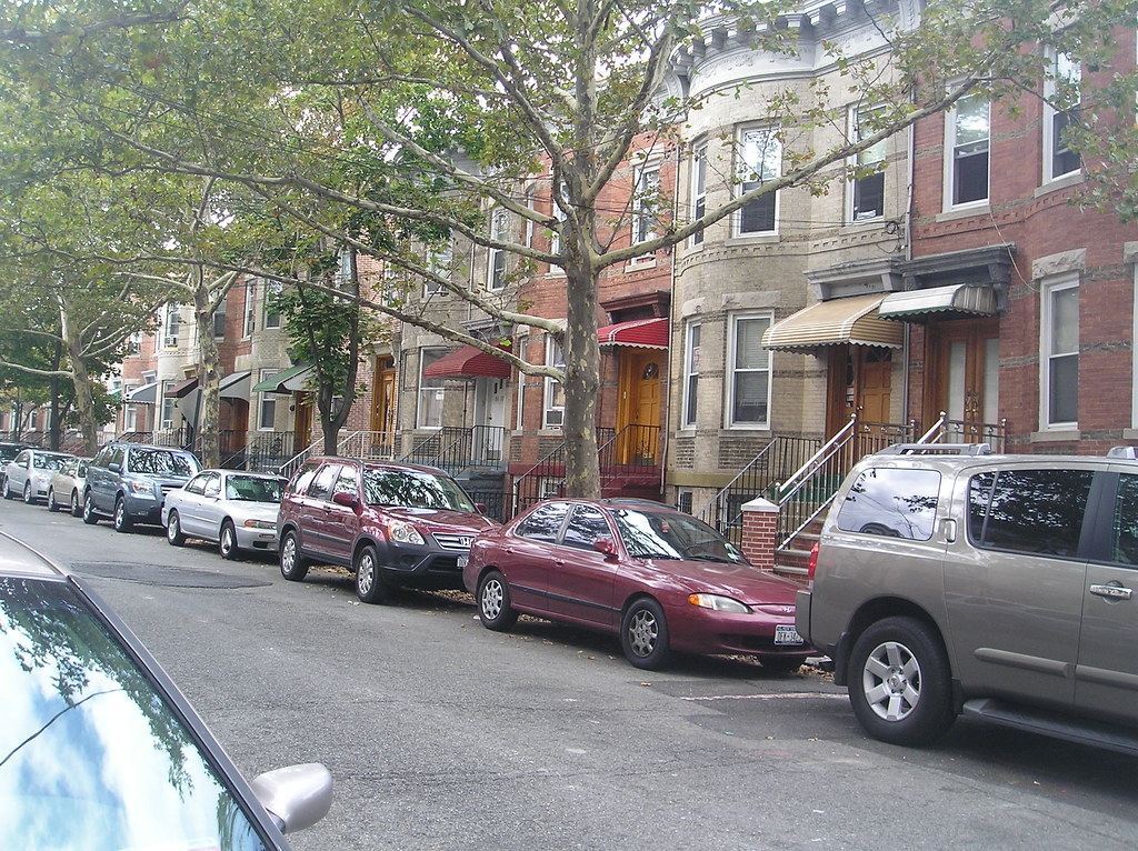
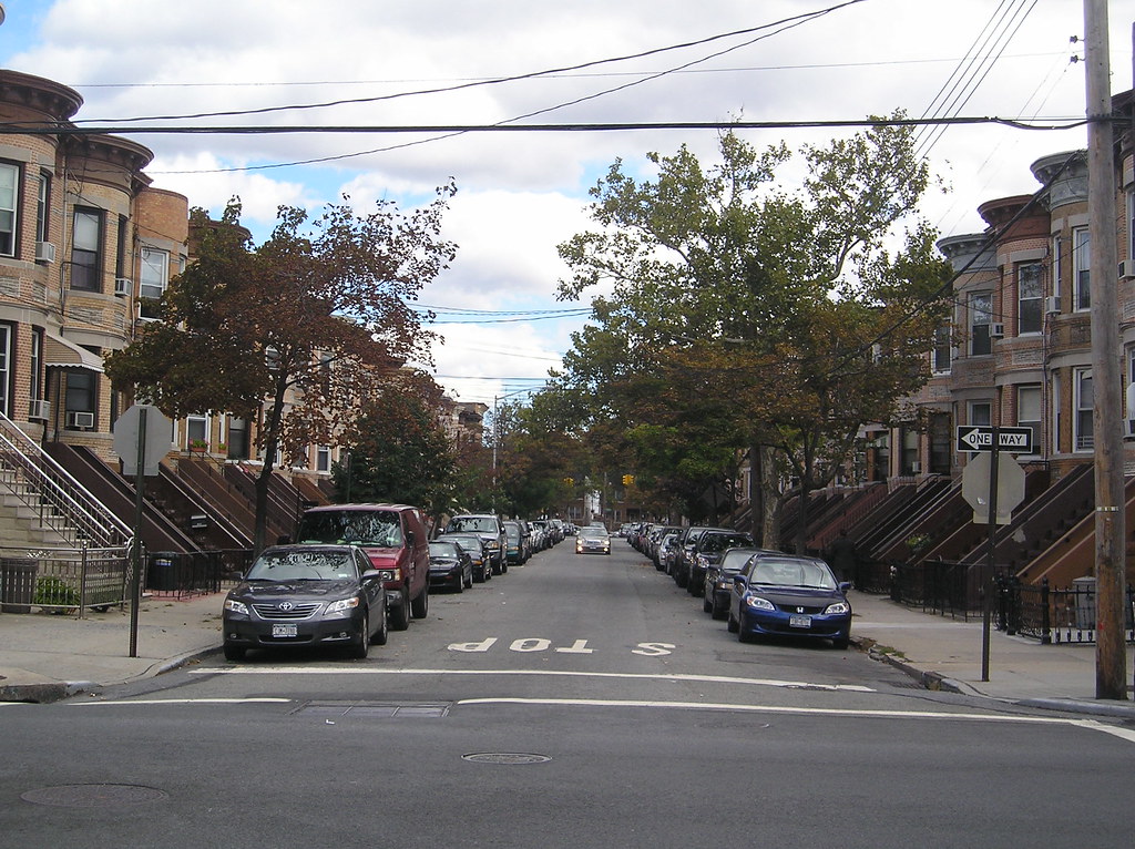
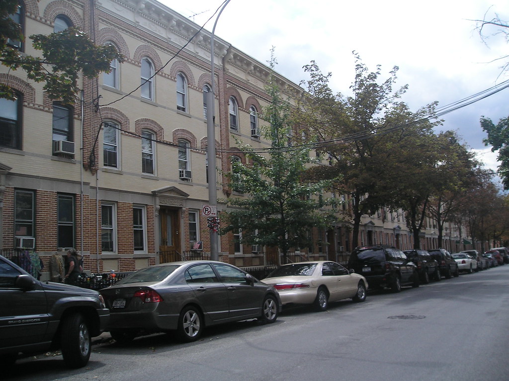
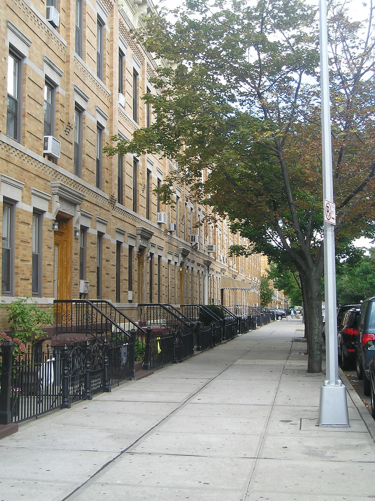
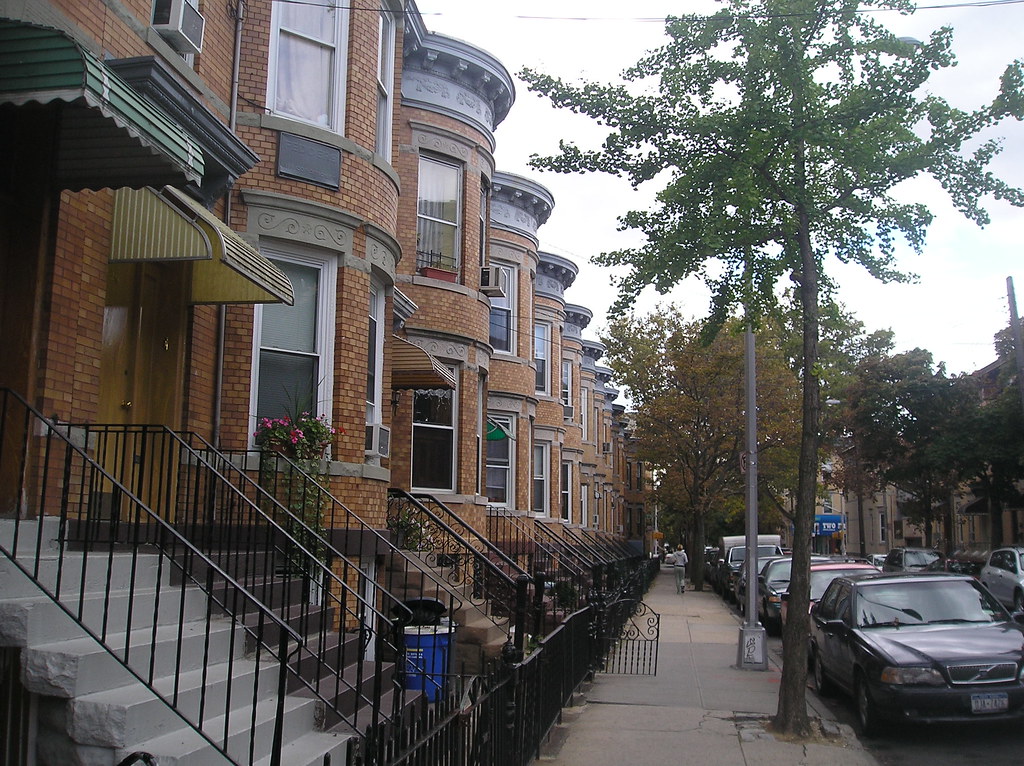
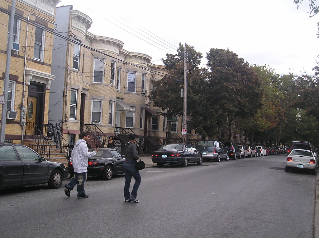
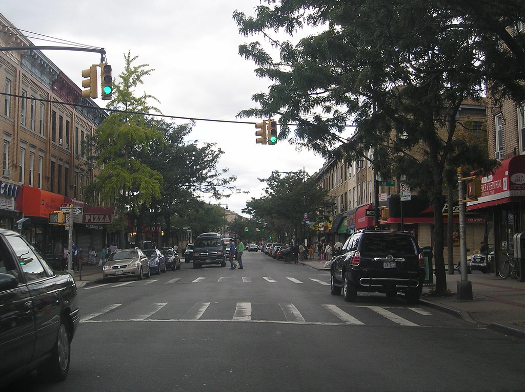
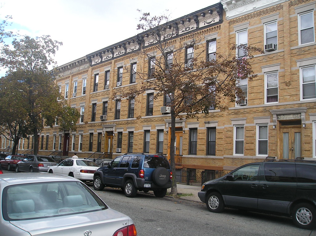
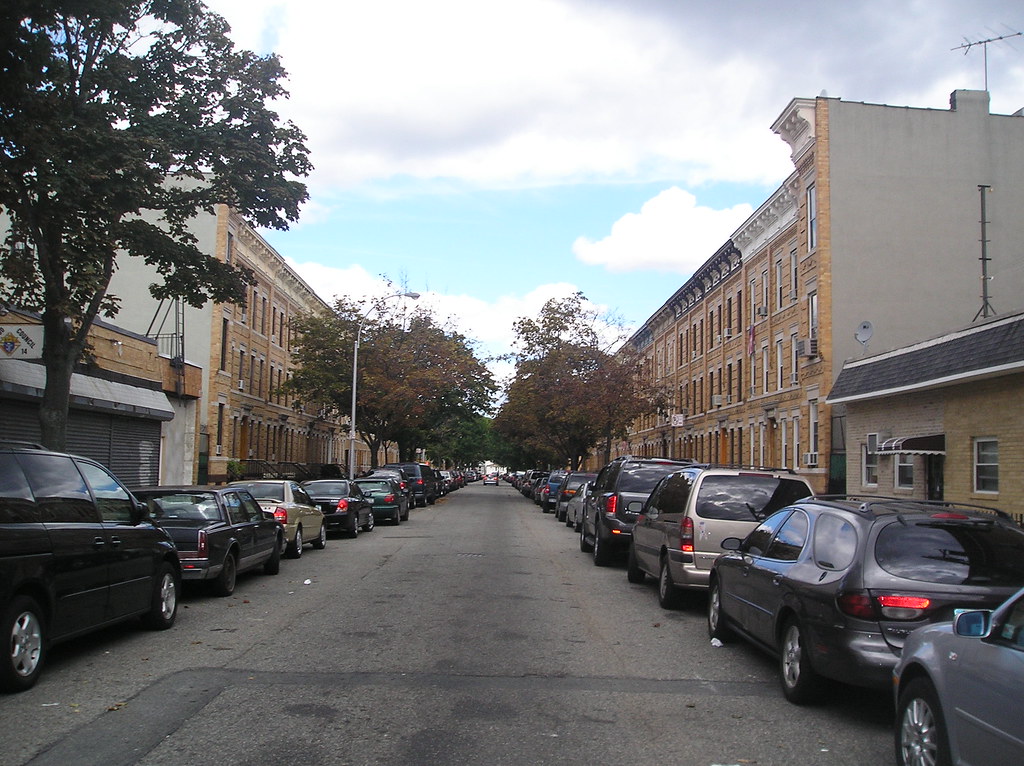
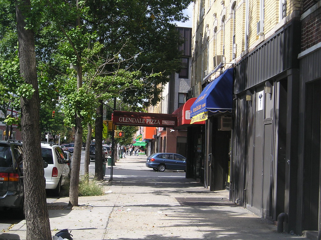
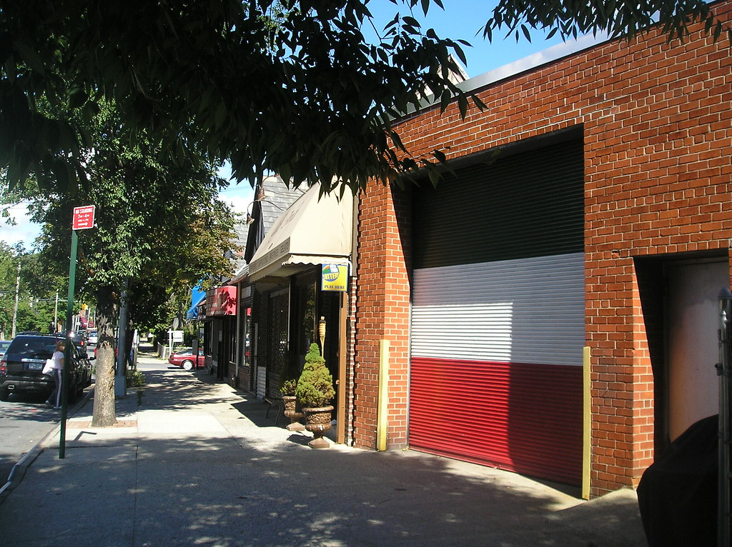
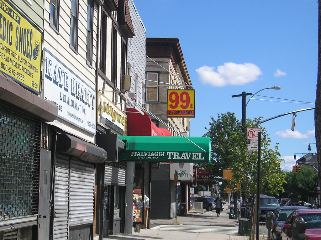
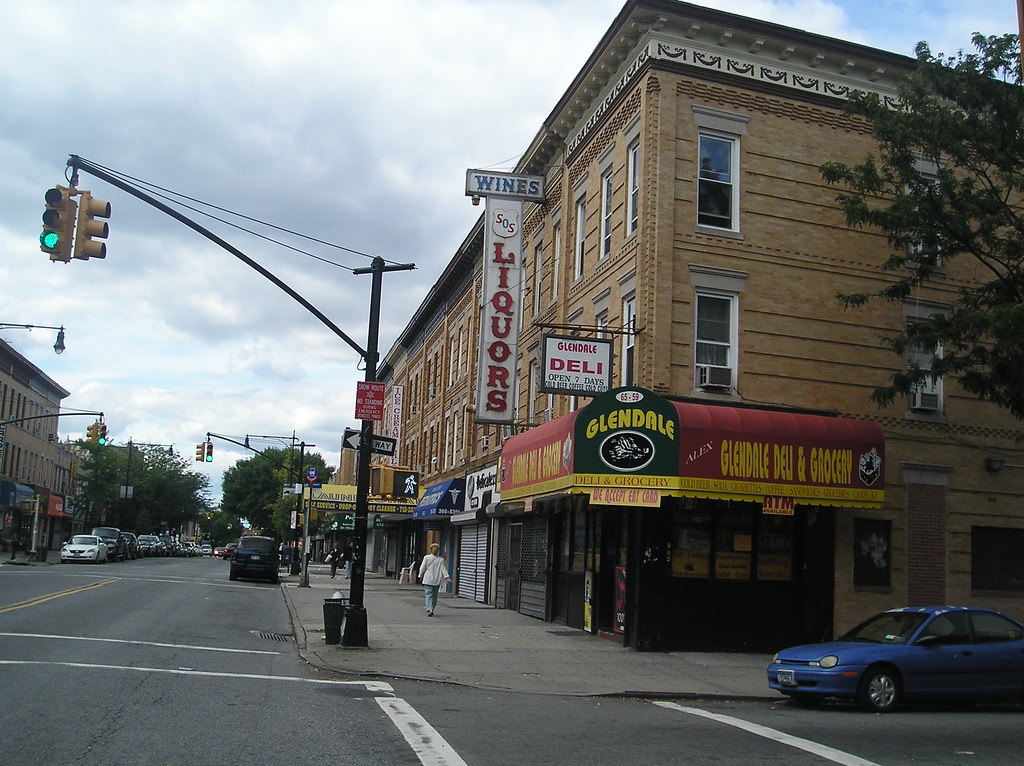
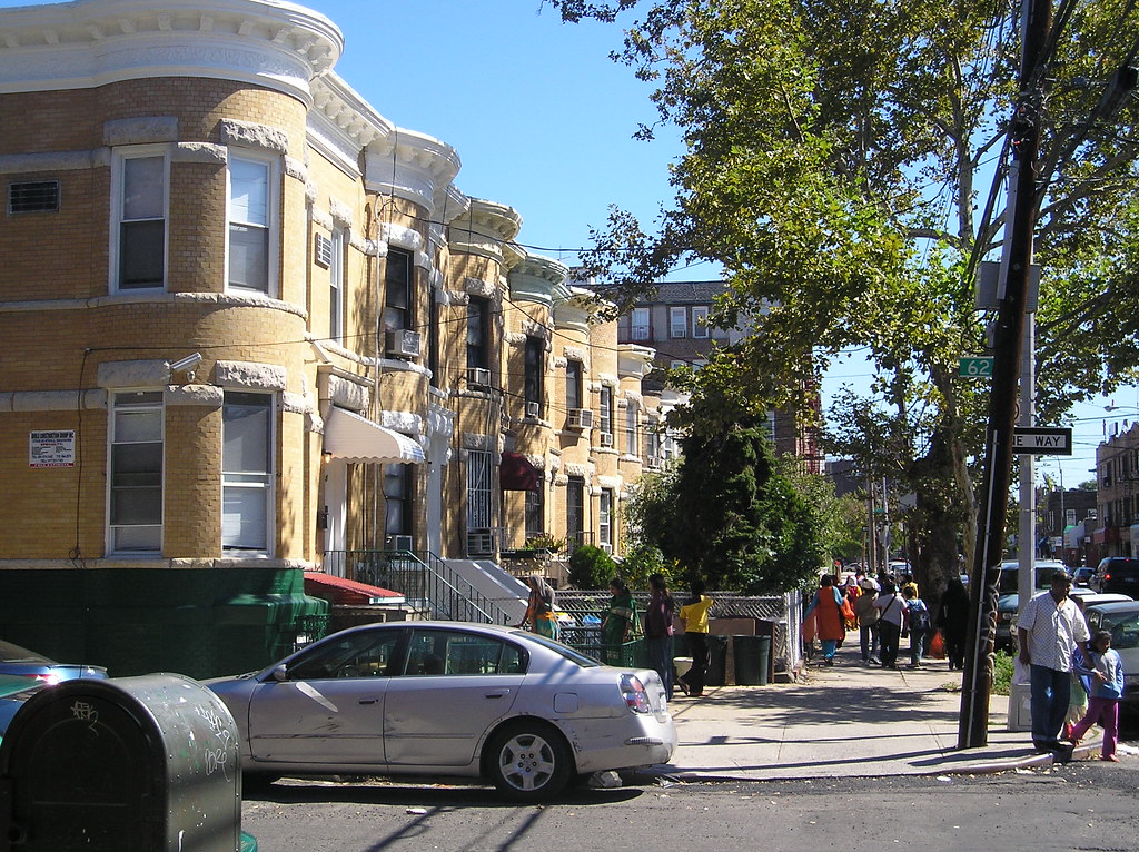
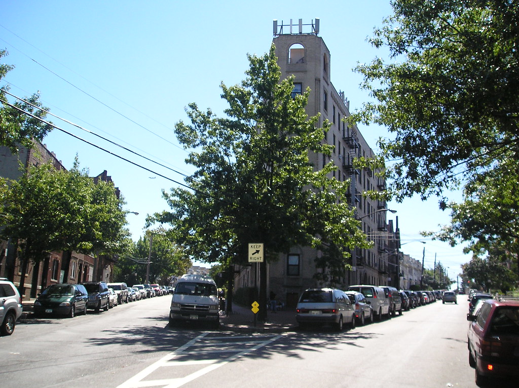
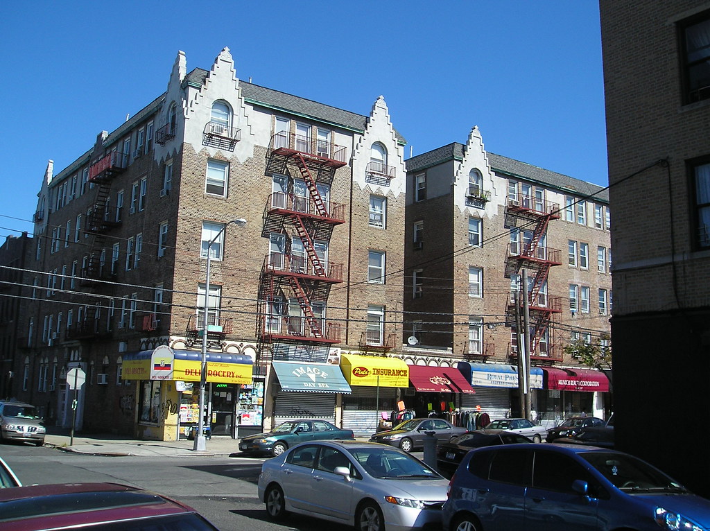
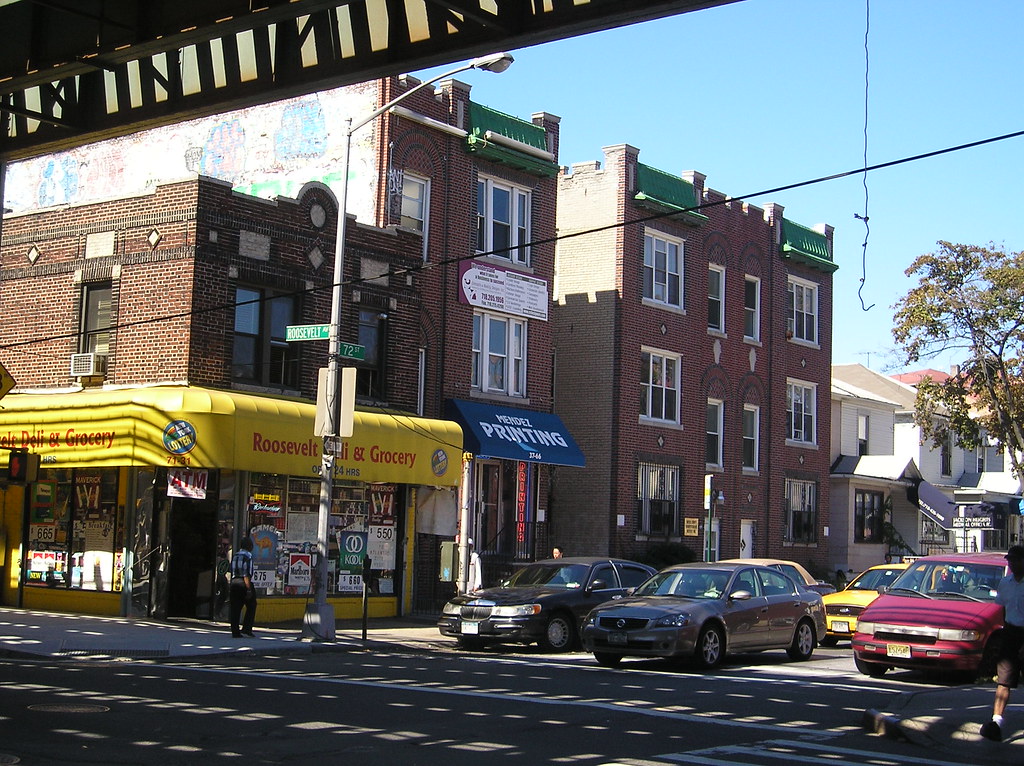
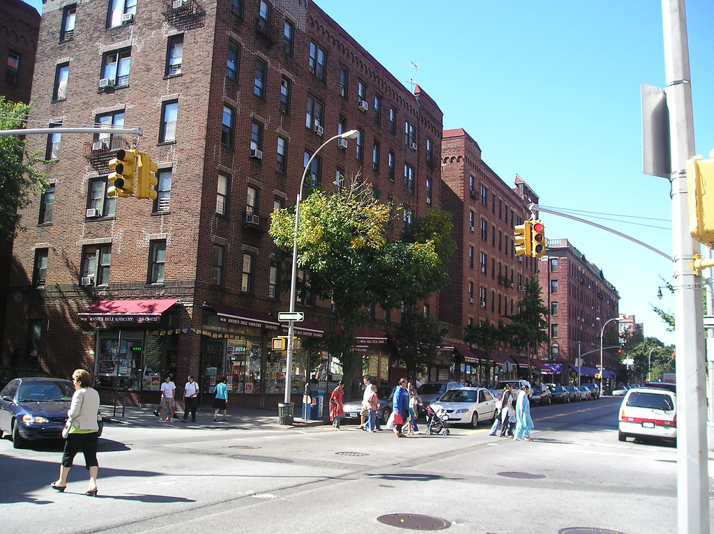
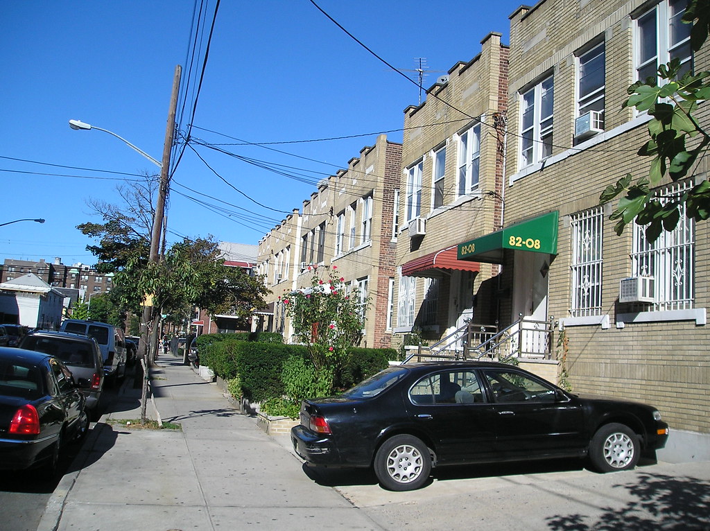
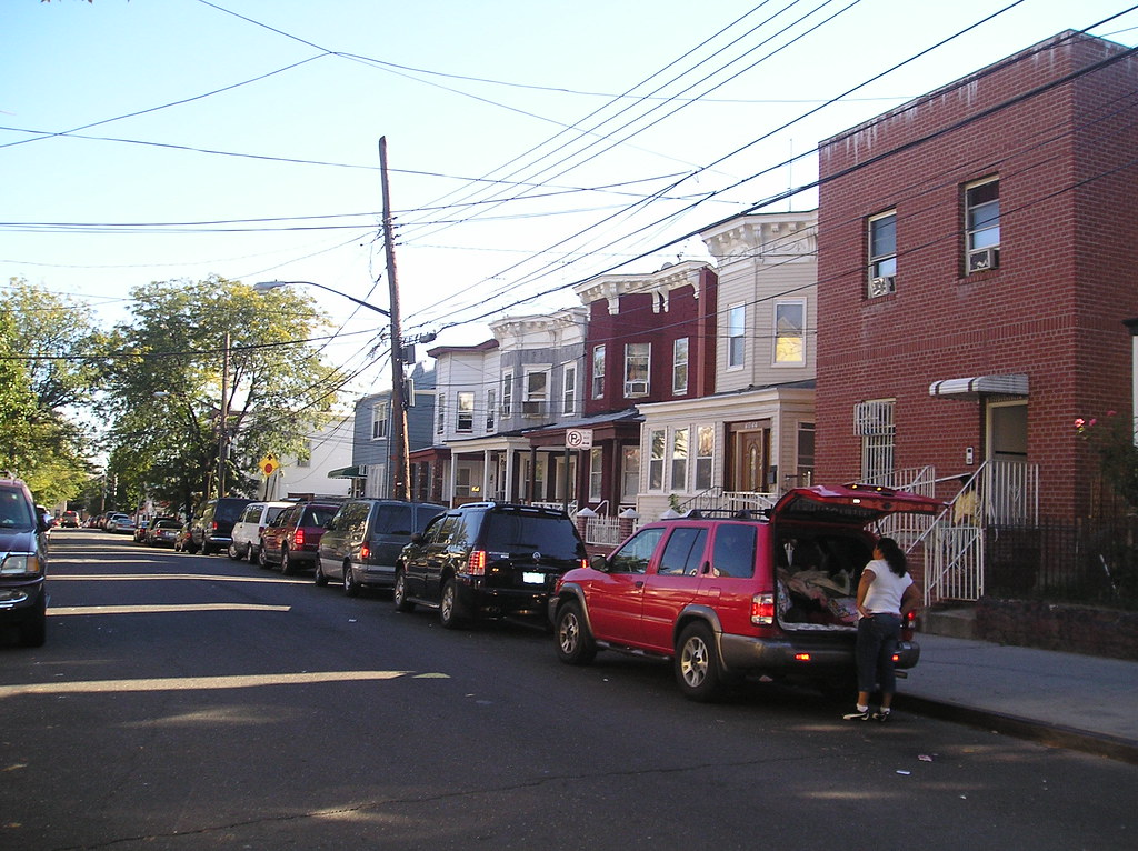
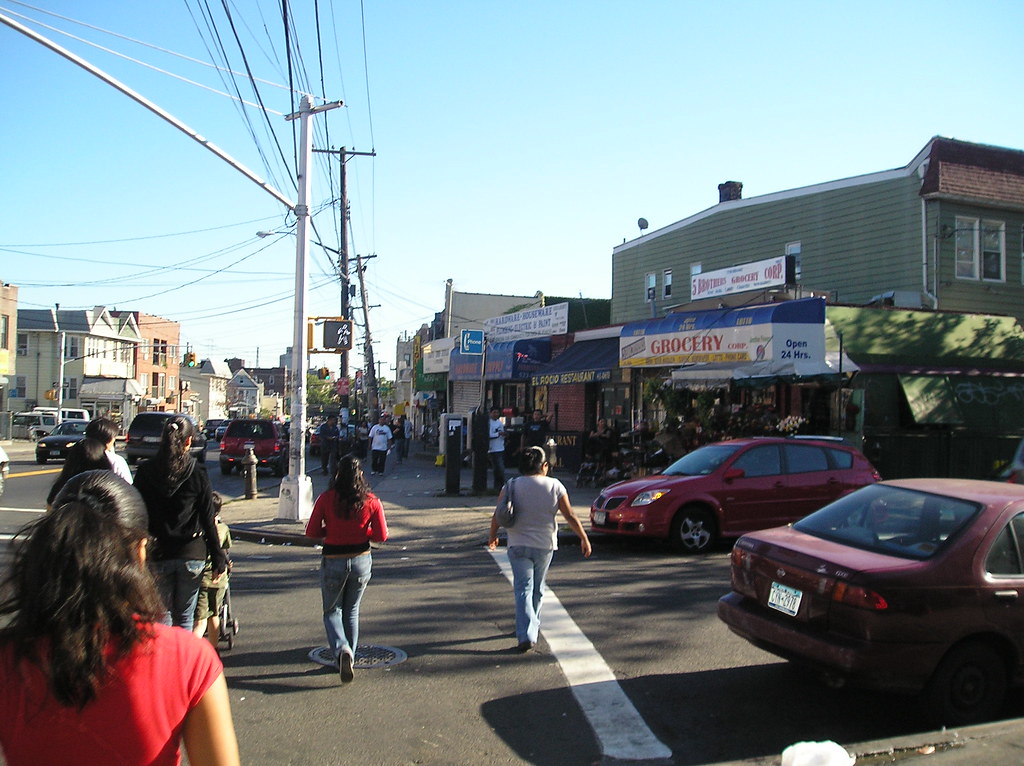
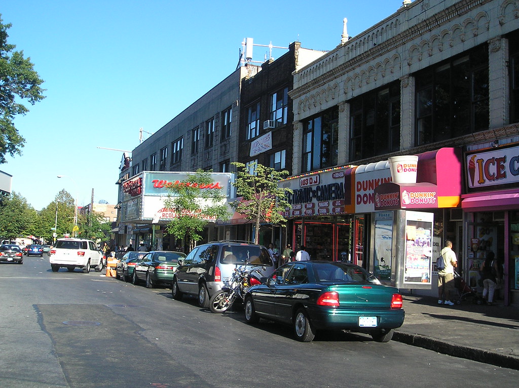
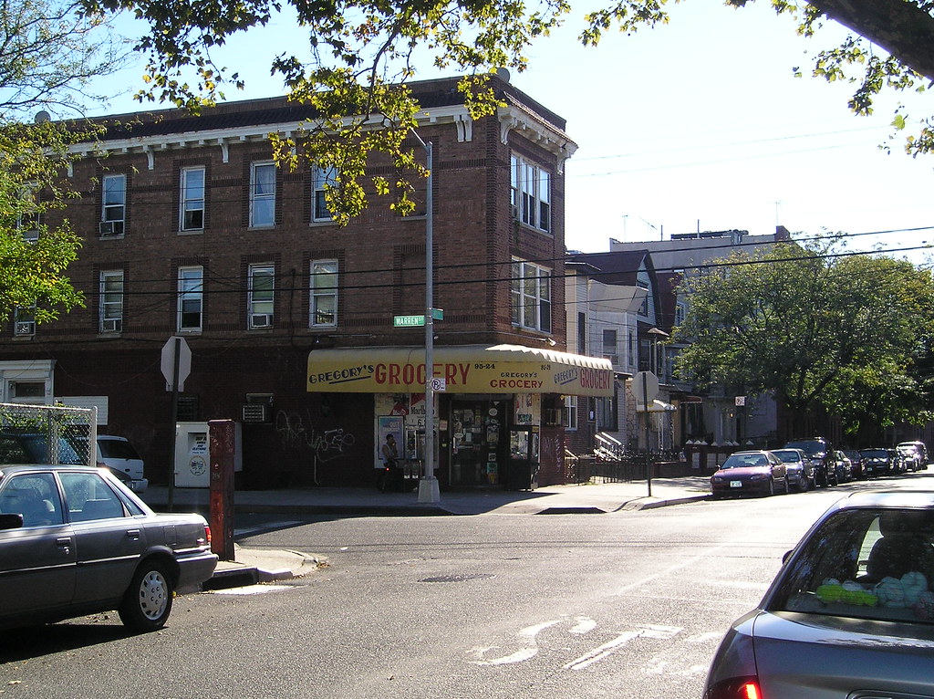
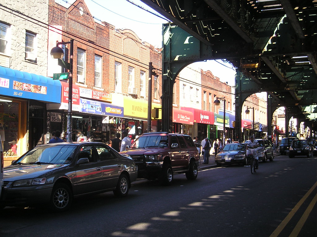
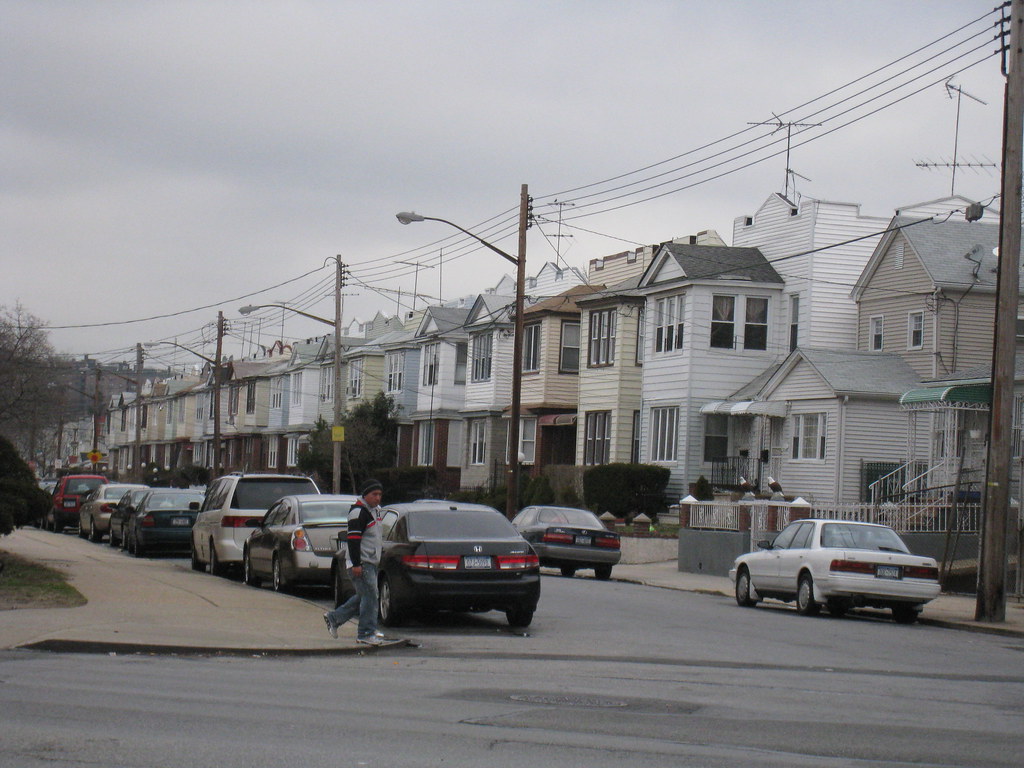
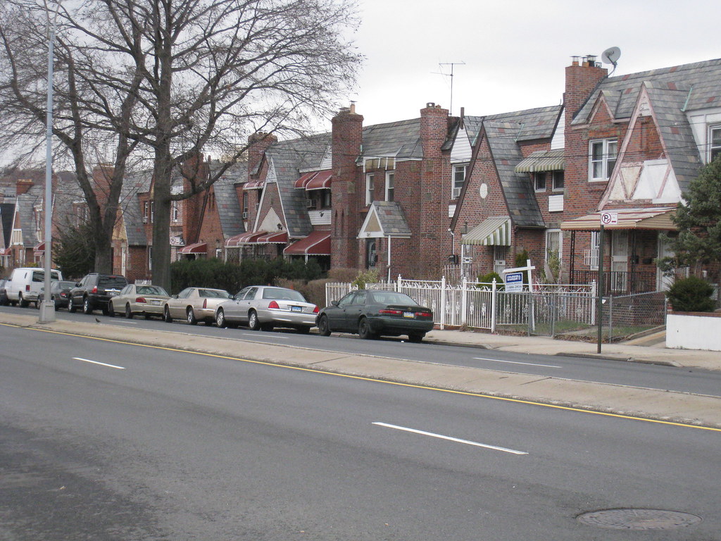
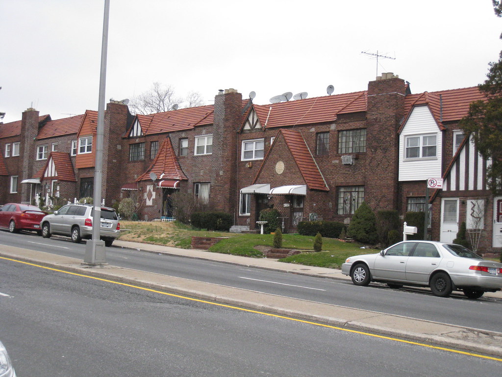
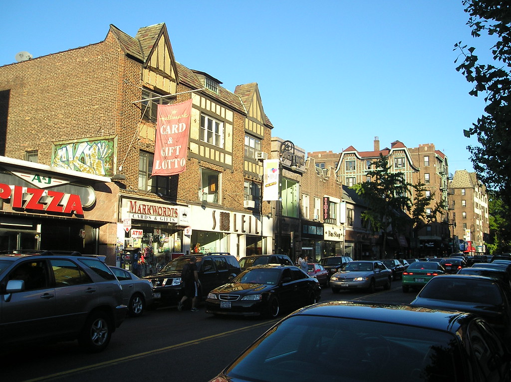
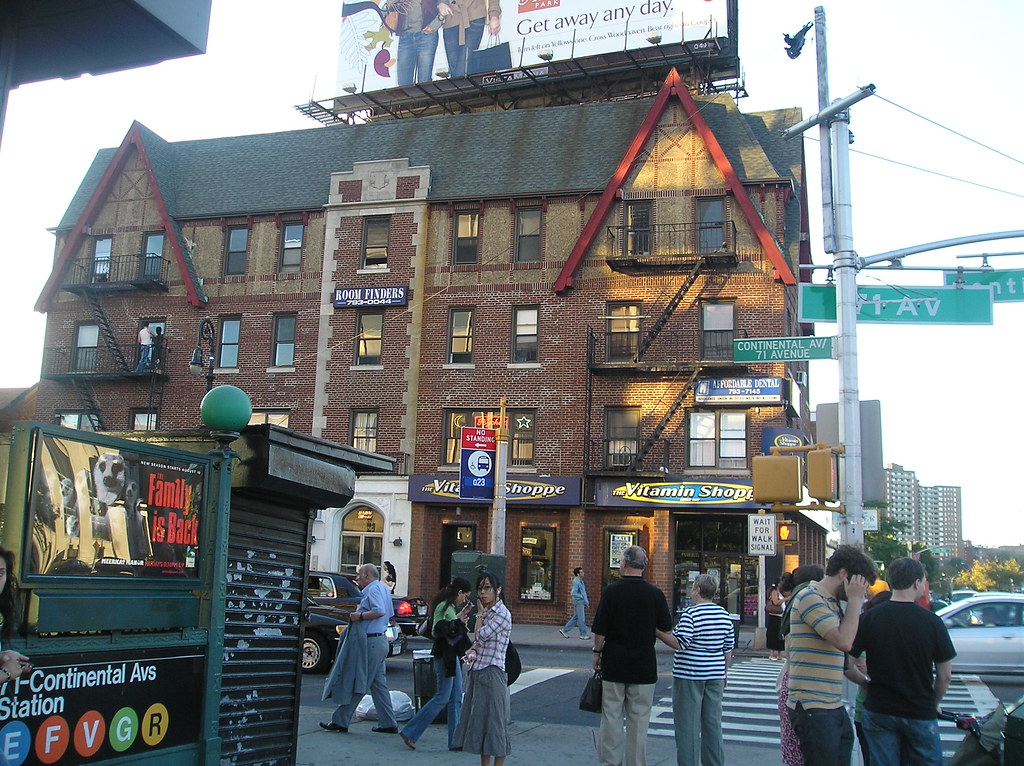
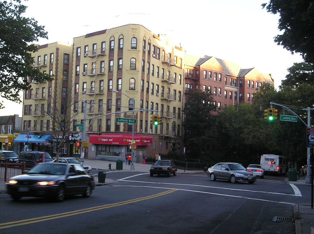
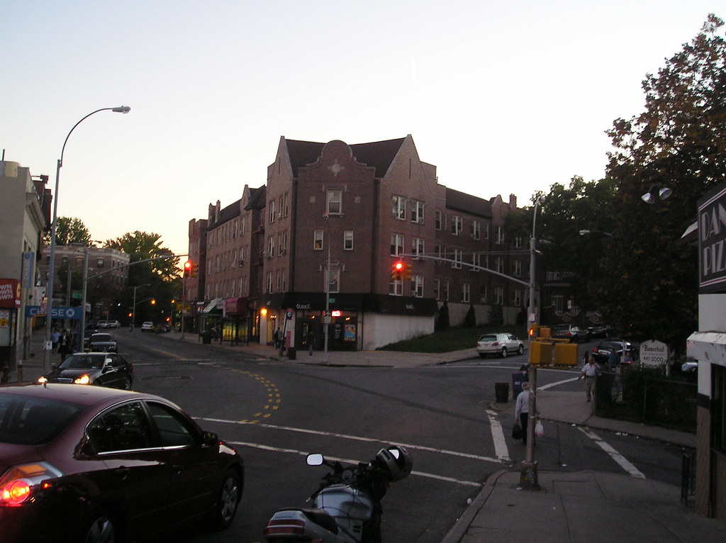
Woodhaven is a middle class neighborhood in the center of the borough of Queens. The neighborhood was settled by a handful of families in the middle of the 18th century. The community grew throughout the century as the families did. Later during the early 19th century it became the site of two race tracks and several hotels. A developer from Connecticut built up the eastern half and named it Woodville. In the 1830’s horse drawn trams ran through Woodhaven. A newspaper was launched mid century around the same time the name of the neighborhood changed. Residents who had demanded a local post office considered changing the name so to not be confused with Woodville in upstate New York. By the civil war era, Woodhaven developed as a manufacturing community. After consolidation, the ever expanding Queens street grid and introduction of the elevated rail the community saw peaks in its population. Today the area is quiet, but not sleepy. There’s a healthy amount of business but Woodhaven does not serve as a major core in Queens. It’s a pretty diverse neighborhood home to Italians, Colombians, Filipinos, Chinese, Serbians, Puerto Ricans, Ecuadorians and West Indians living side by side and its diversity is celebrated as an annual street fair.


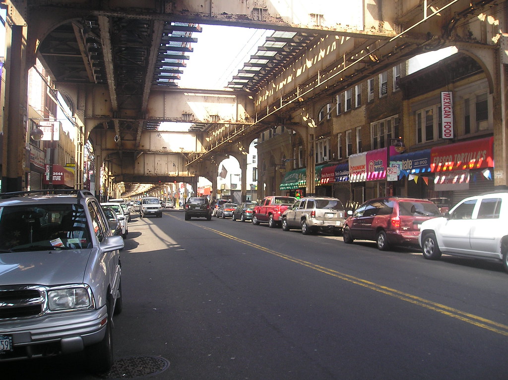
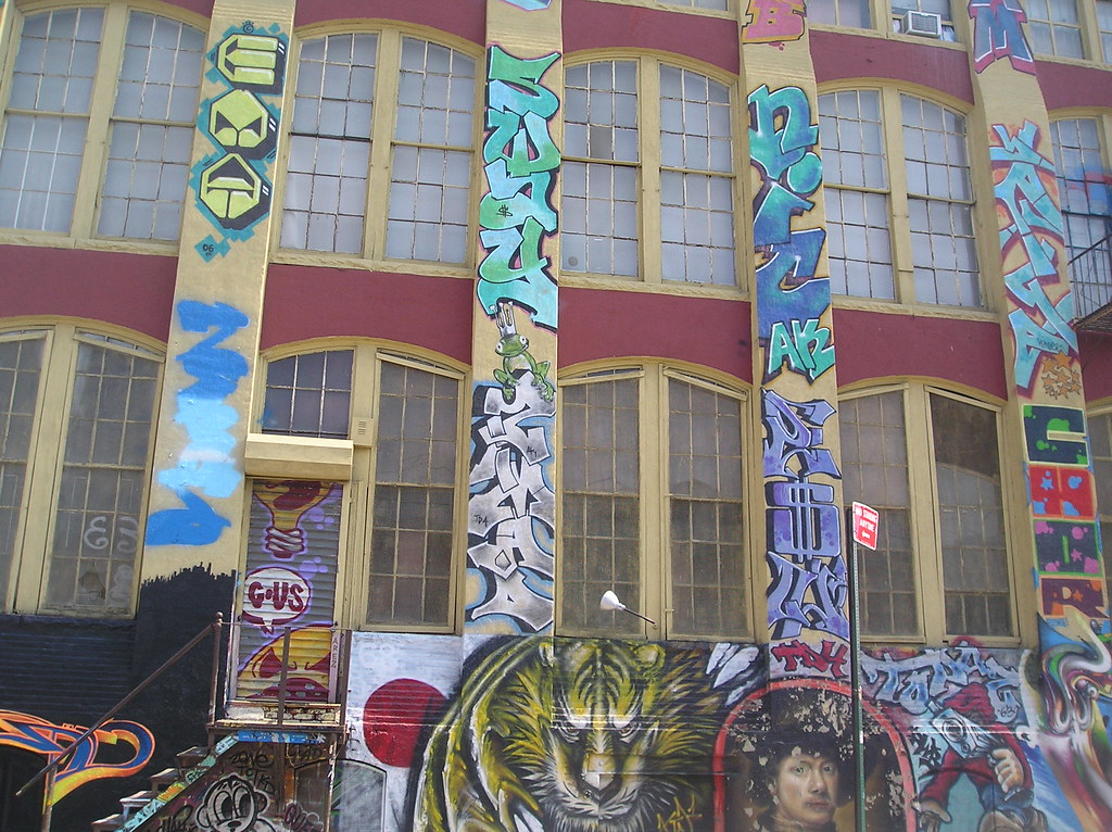
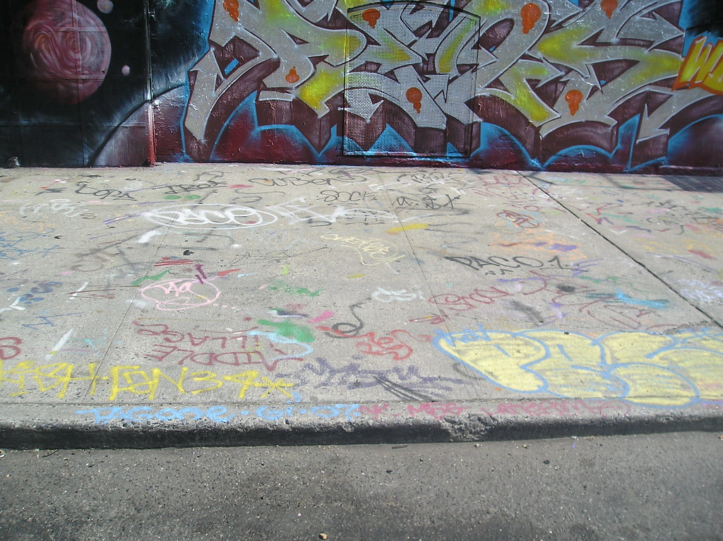
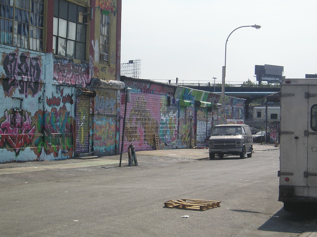
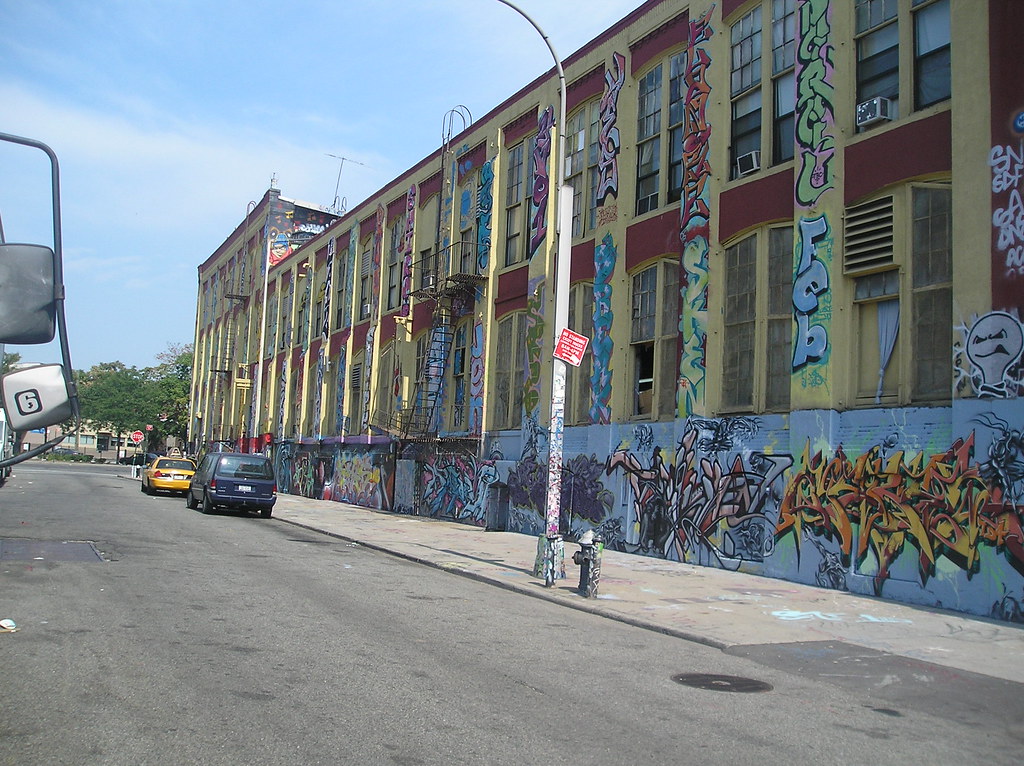
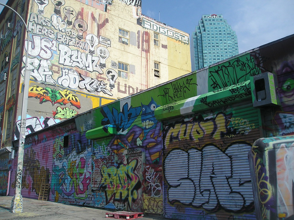
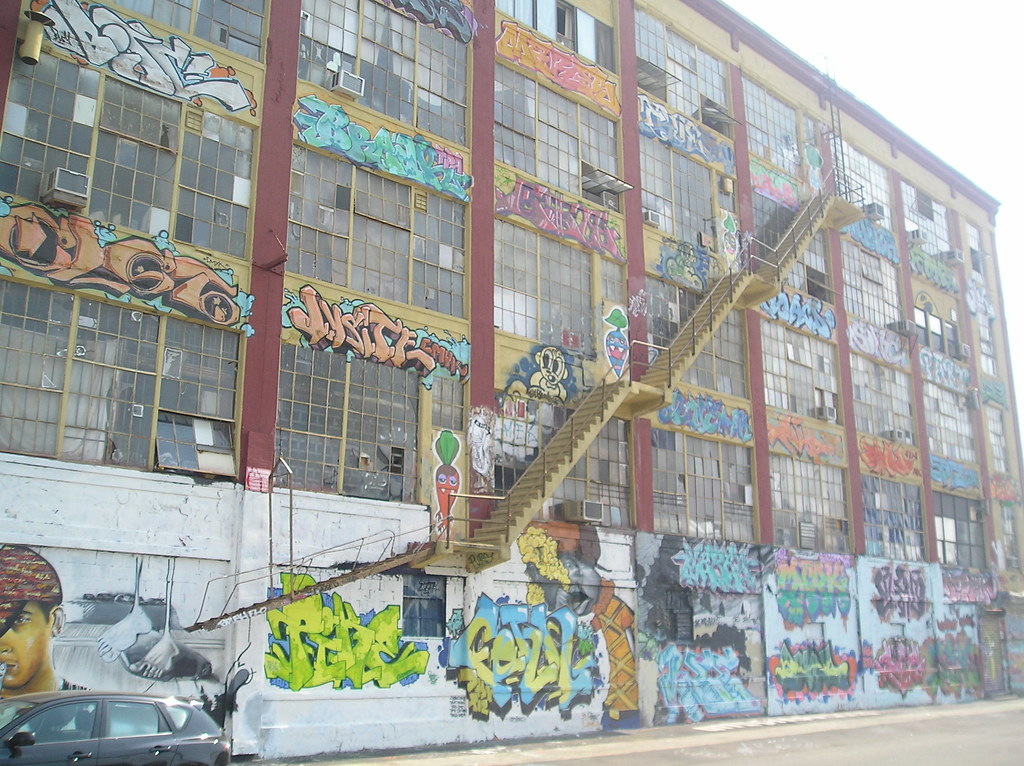
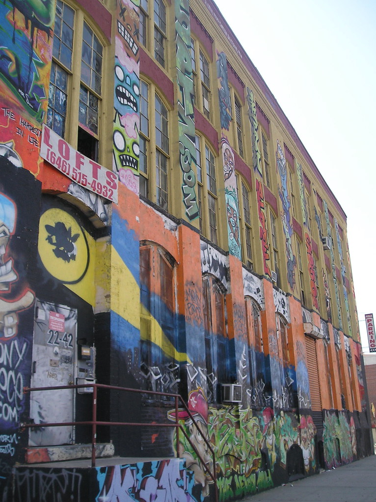
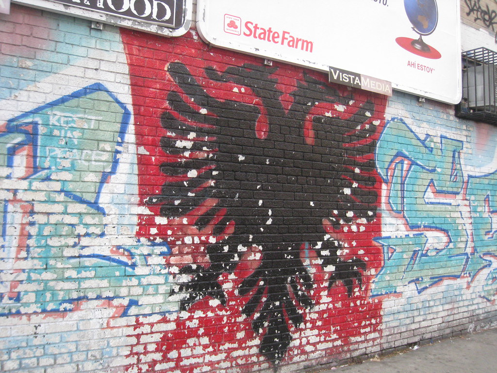
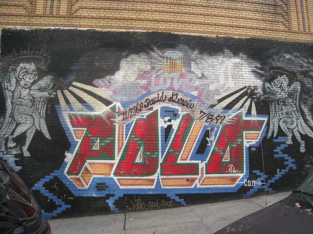
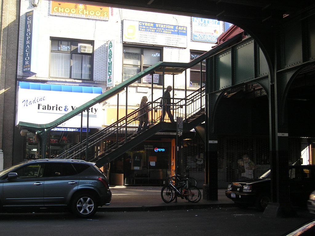
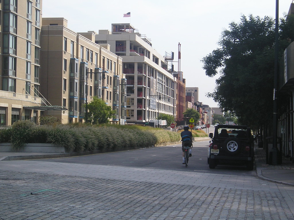
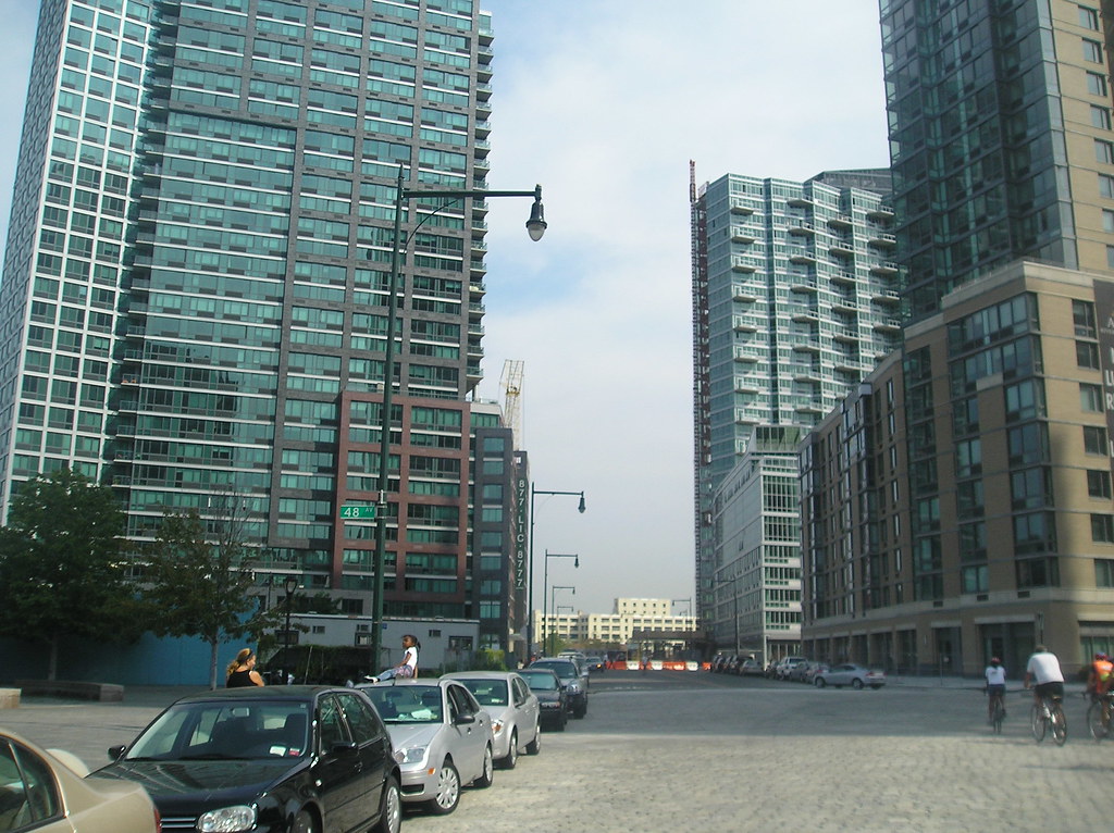
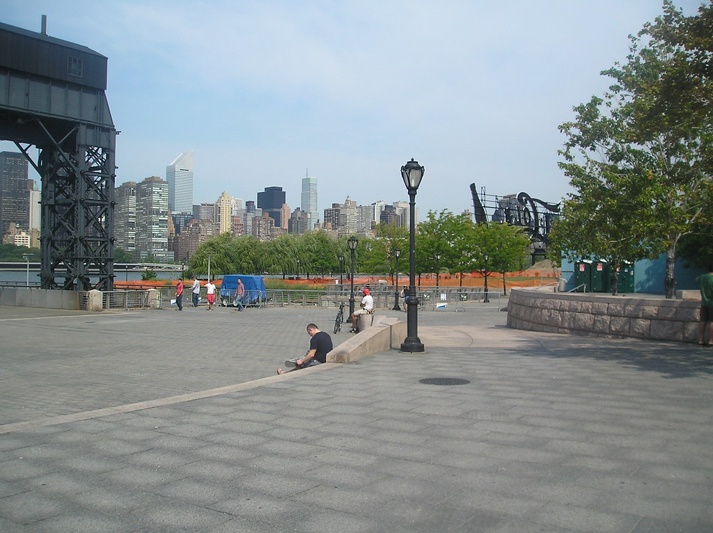
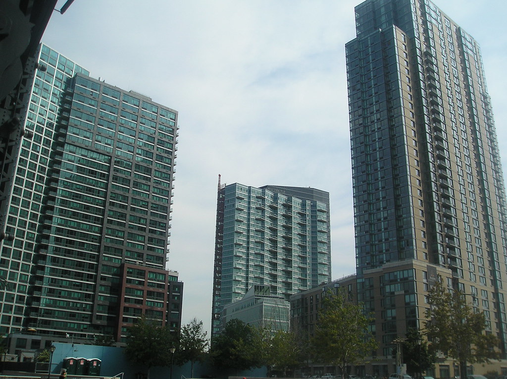
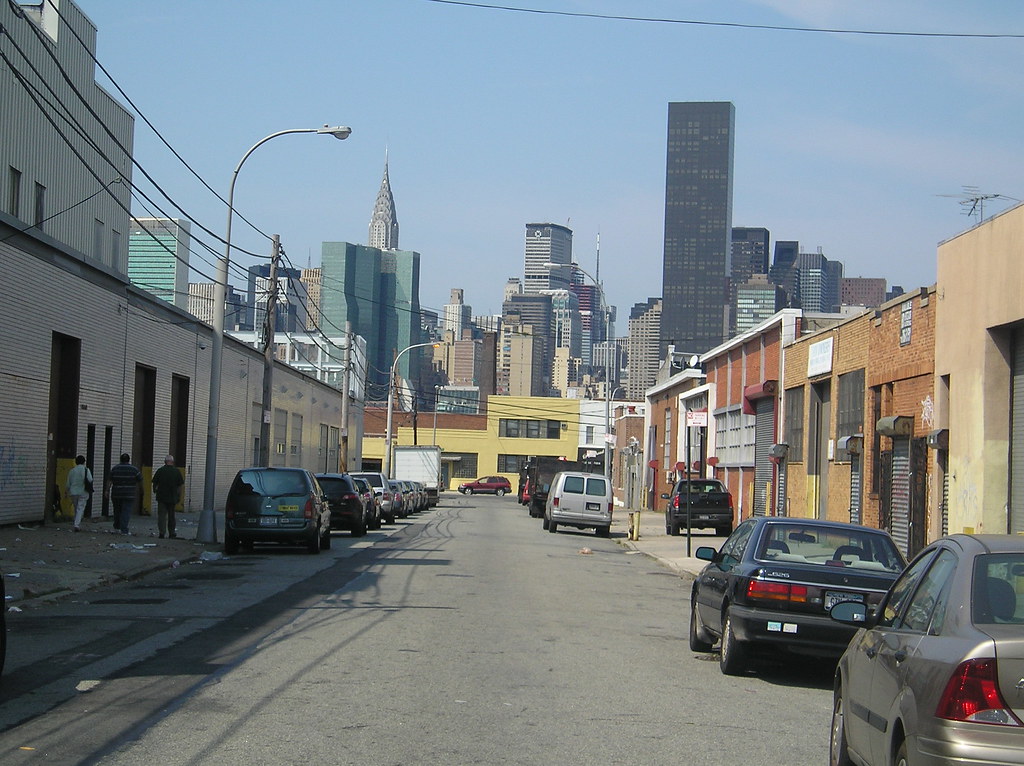
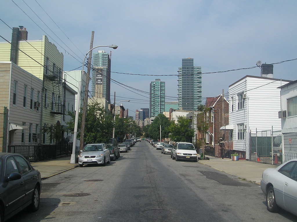
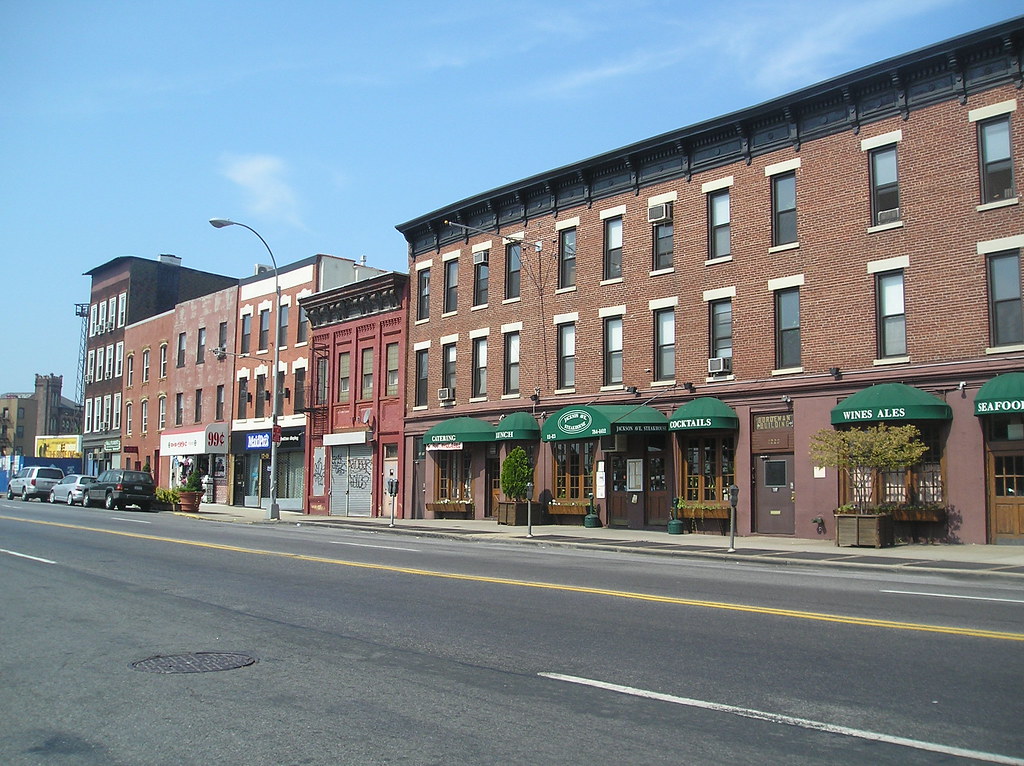
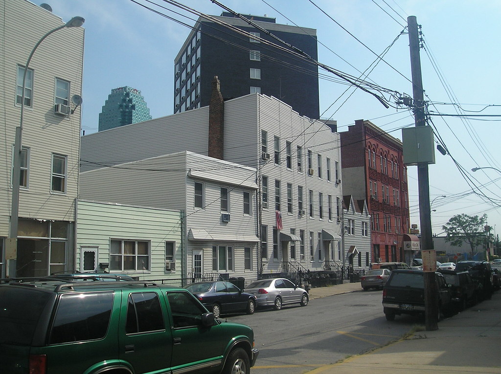
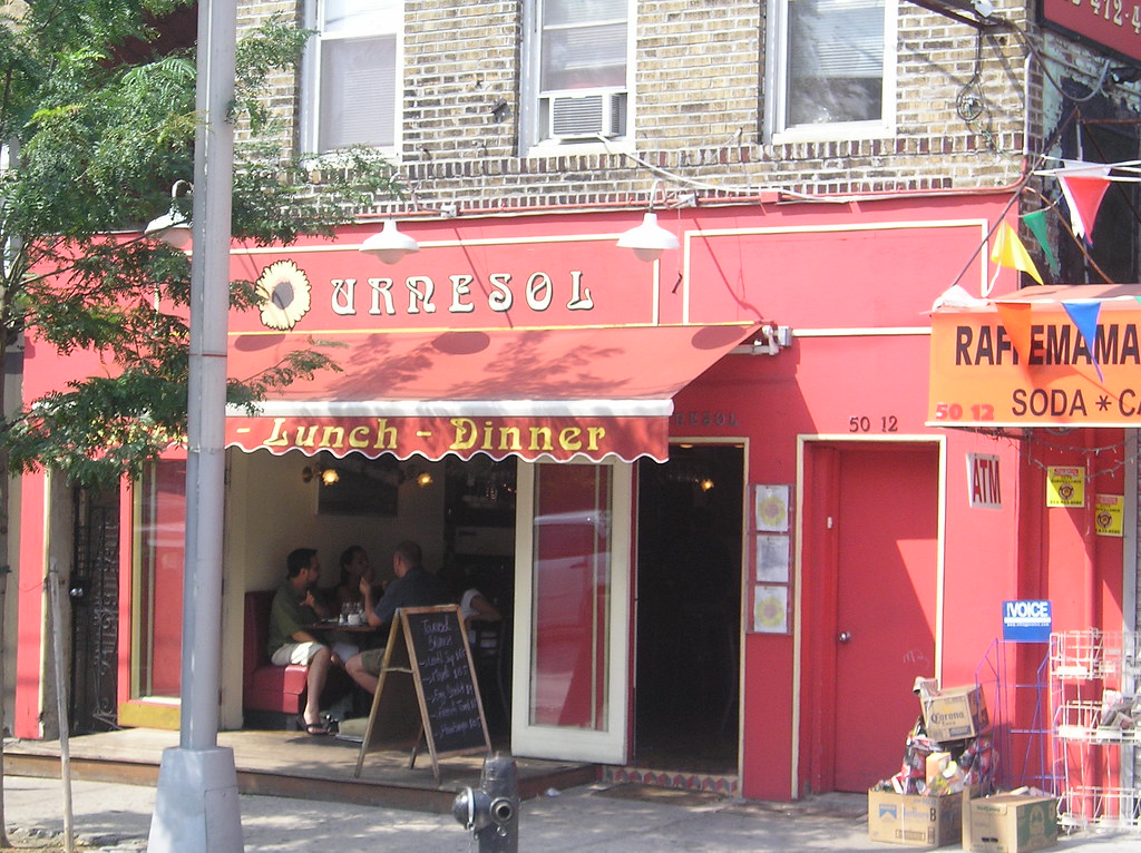
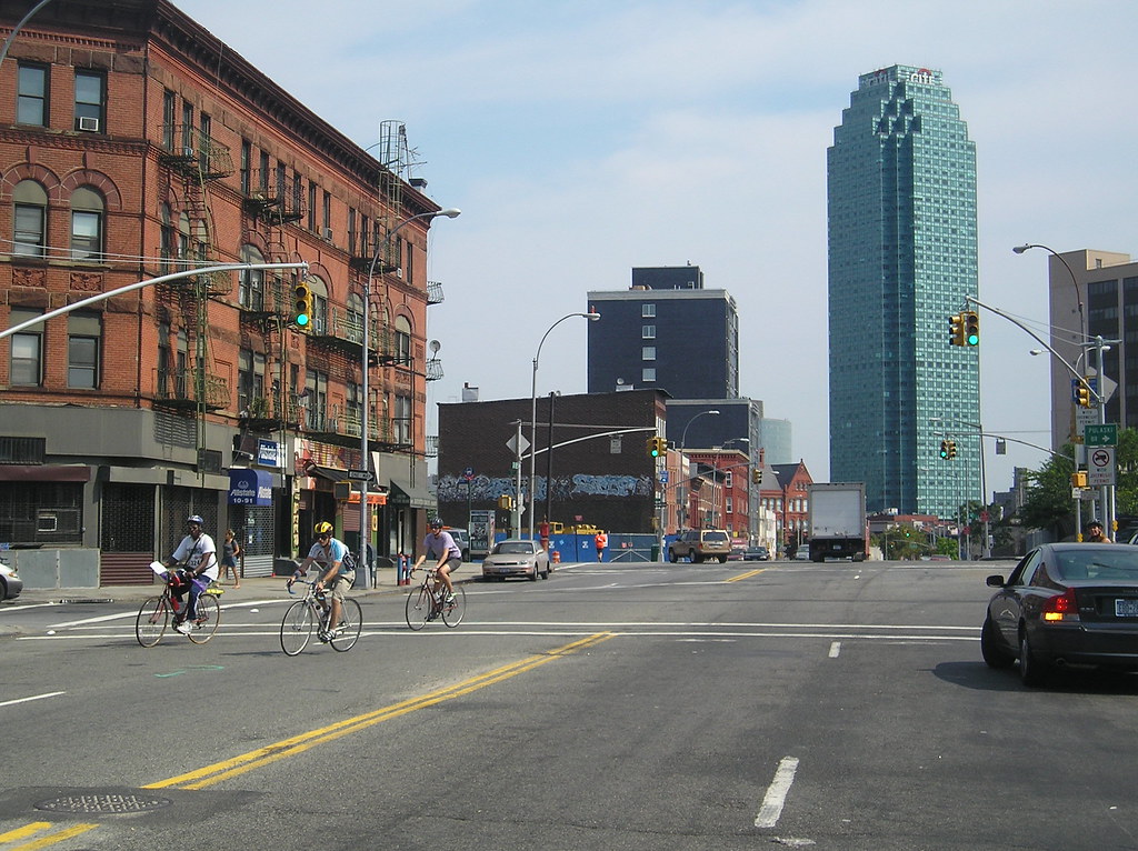
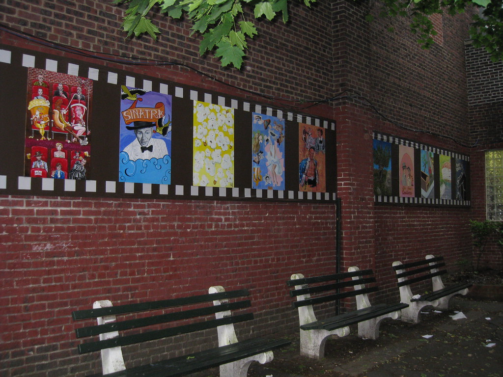
Five pointz- The Five Pointz is an outdoor exhibit space featuring the works of several local graffiti artists. The site is in the neighborhood of Long Island City. The Five Pointz is known world wide and artists from all over the world have come here to leave their mark. The building complex was first established as the Phun Phactory to encourage Graffiti artists to display their work and prevent vandalism and well over a decade later the complex, sidewalks around it, stair cases, trucks and chimneys are covered in artwork from artists all over the world. New York is considered to be the premier graffiti Mecca of the world. The complex is owned by a Long Island developer and houses the Crane Studios where artists can pay below market rent for studio space.


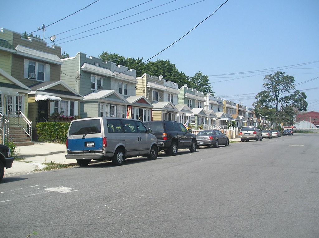
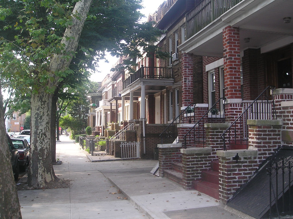
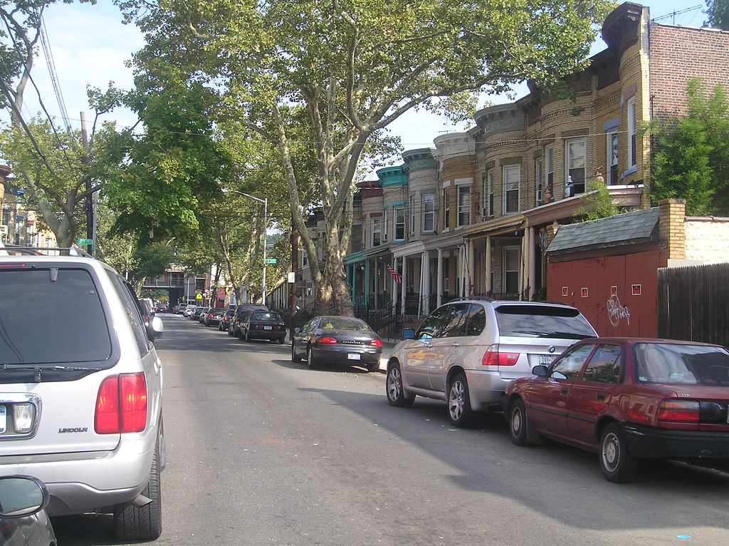
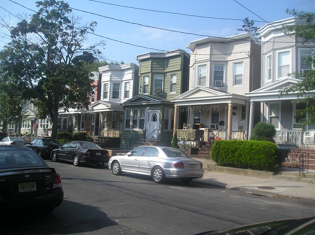
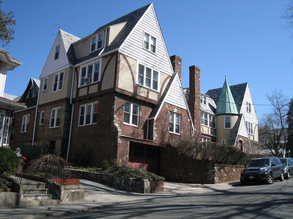
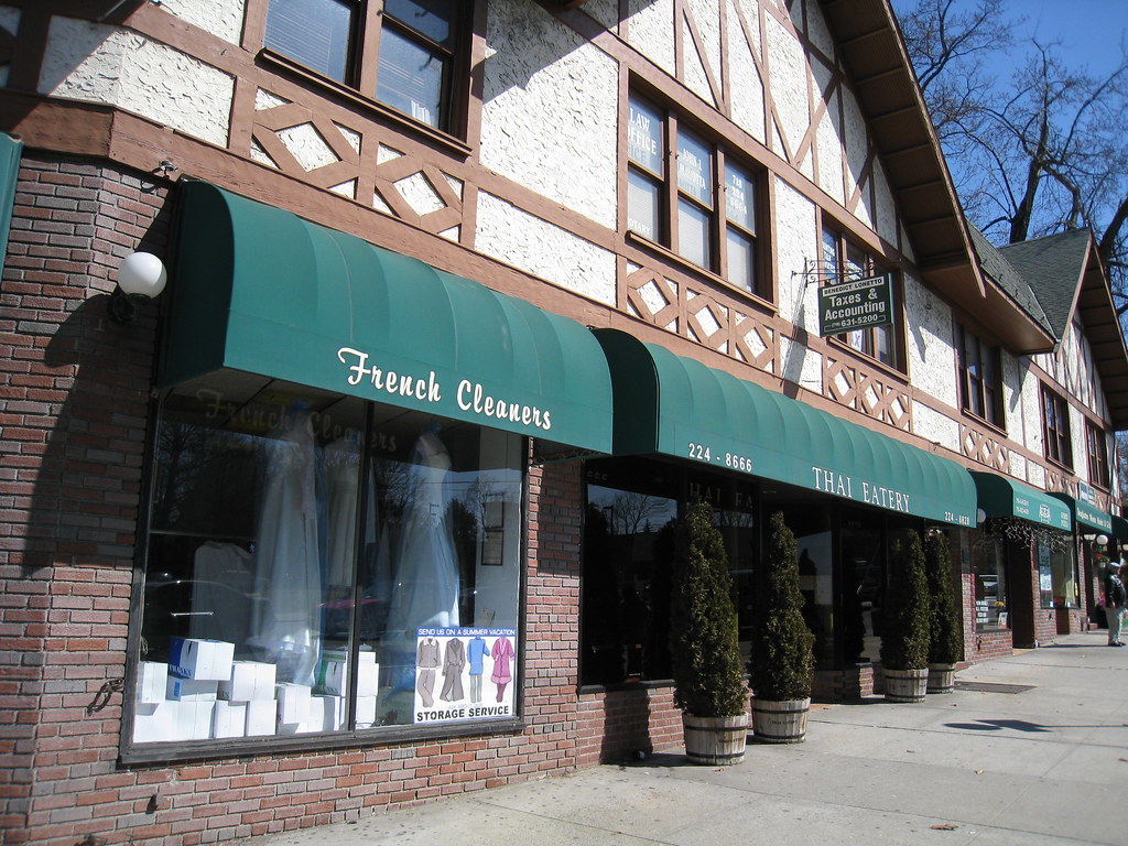
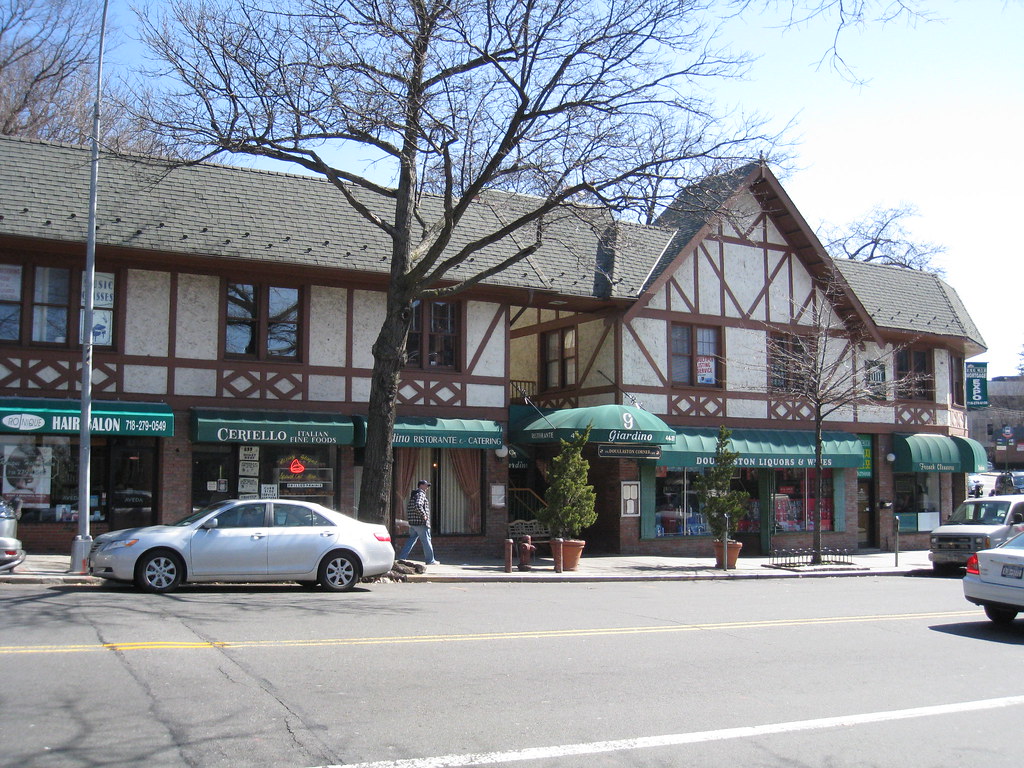
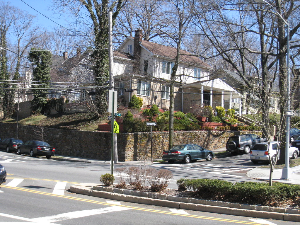
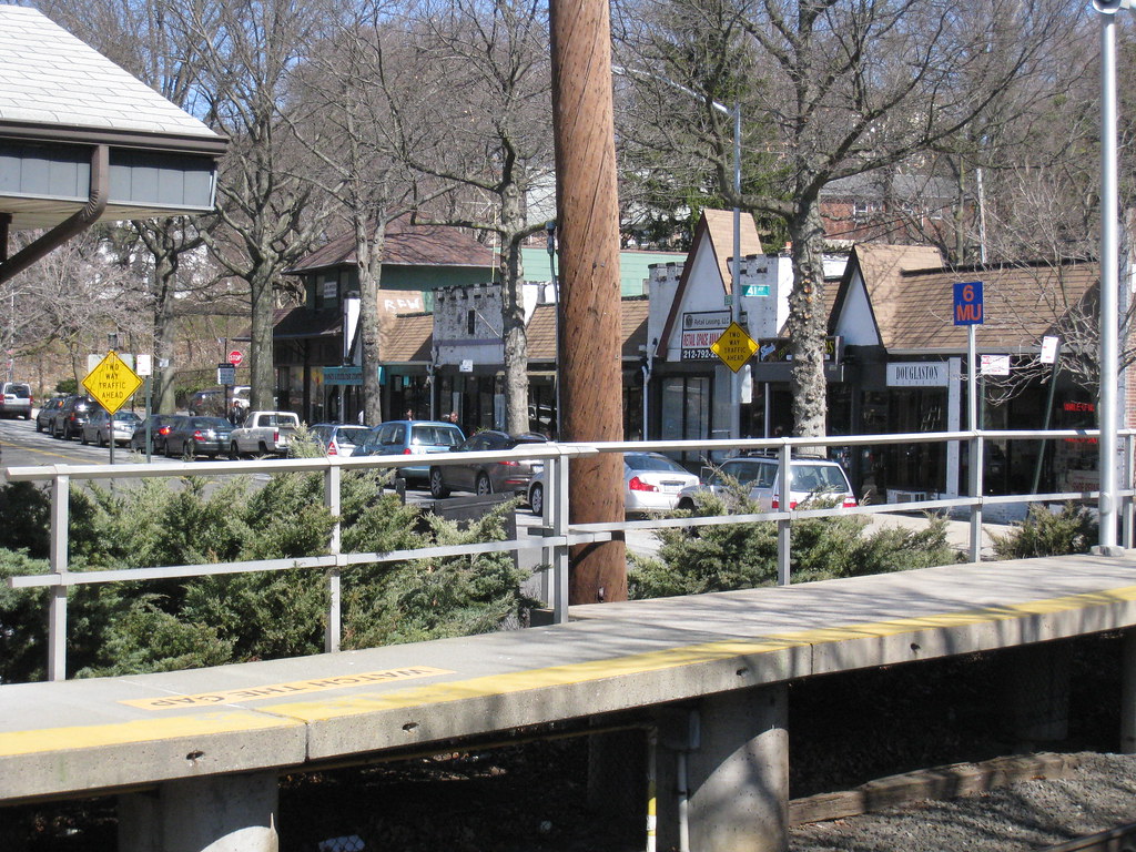
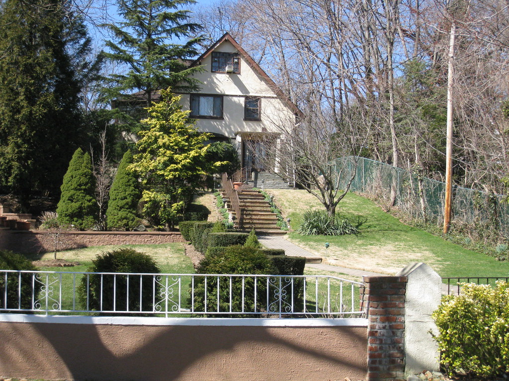
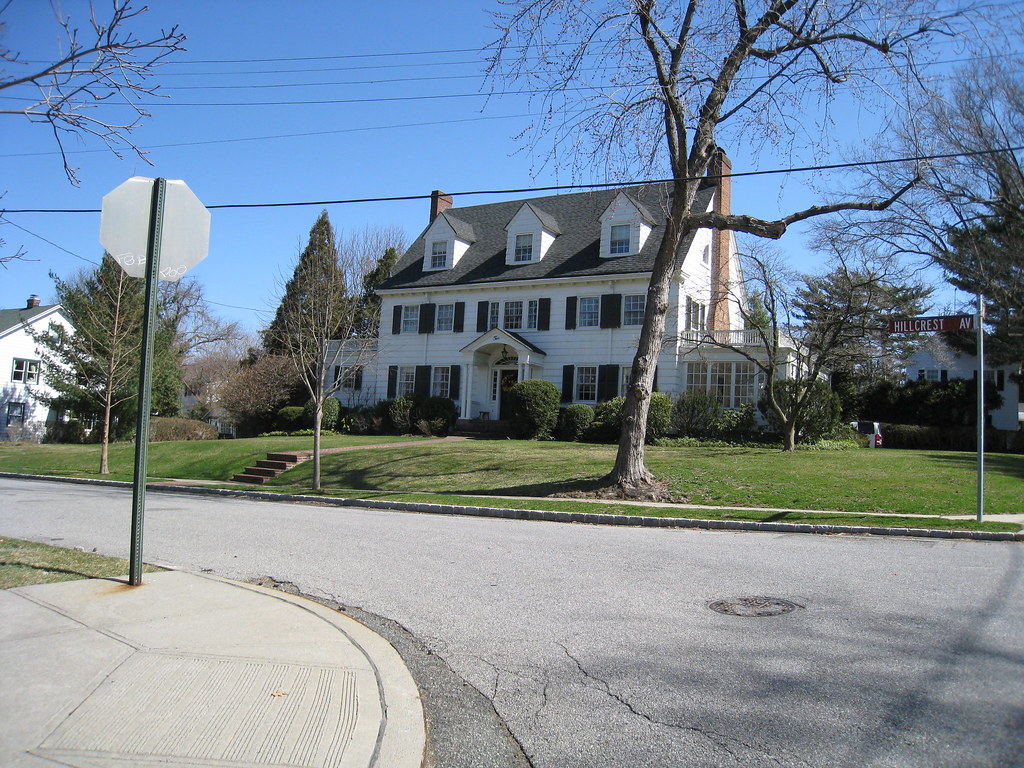
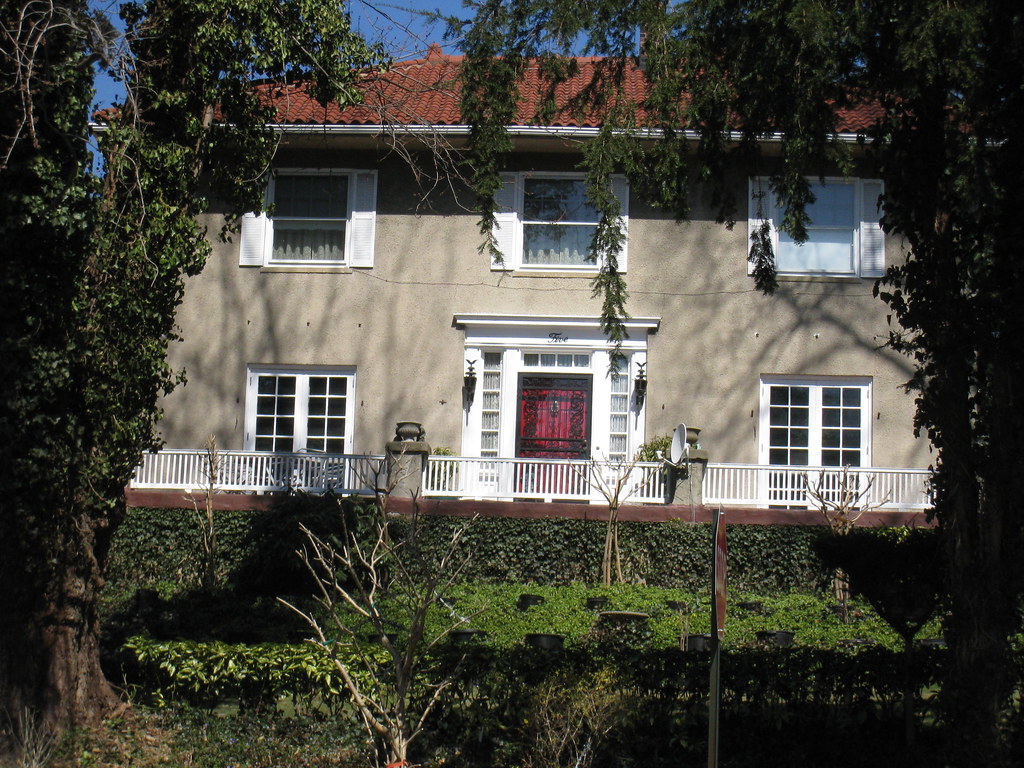
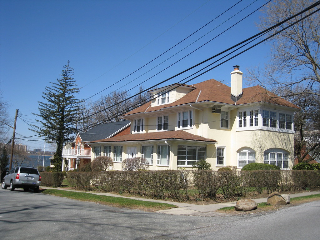
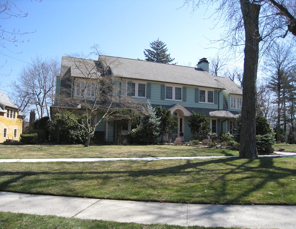
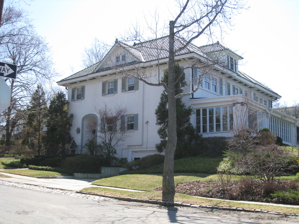
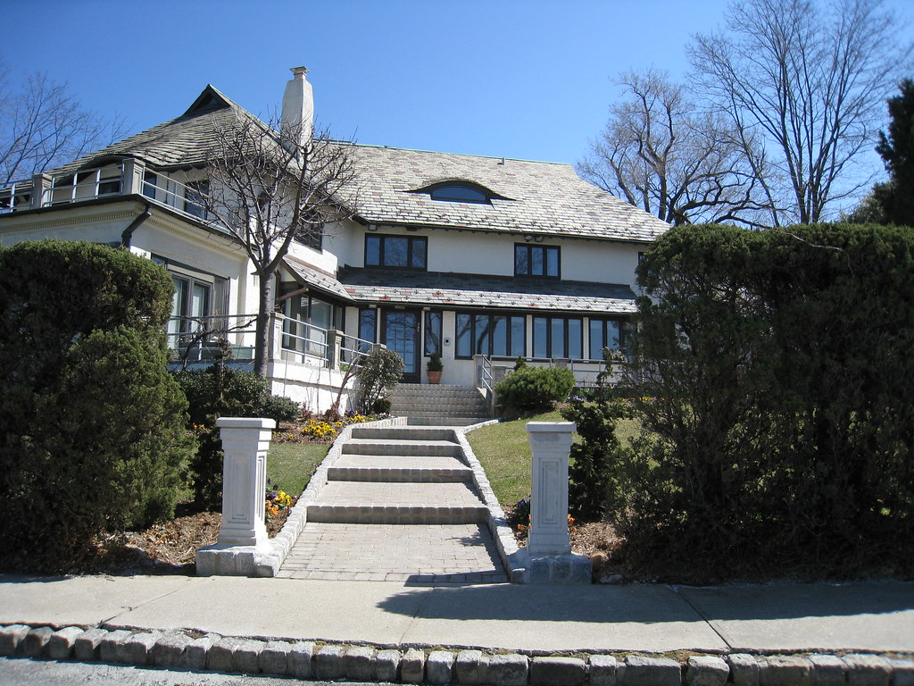
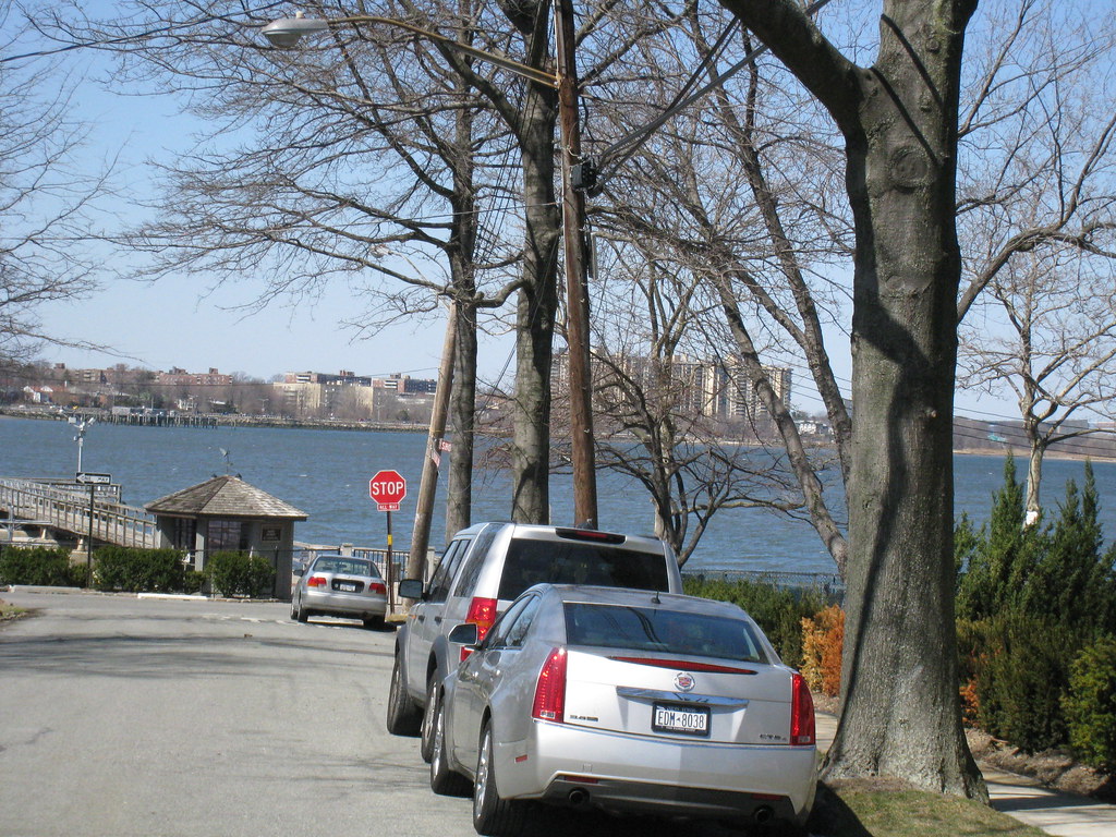
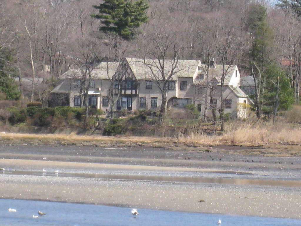
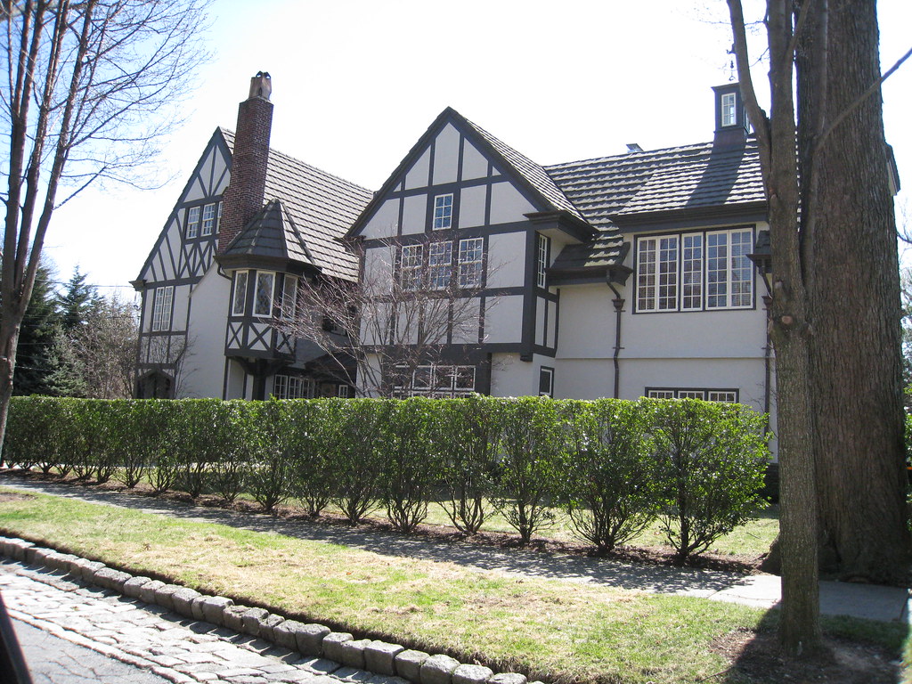
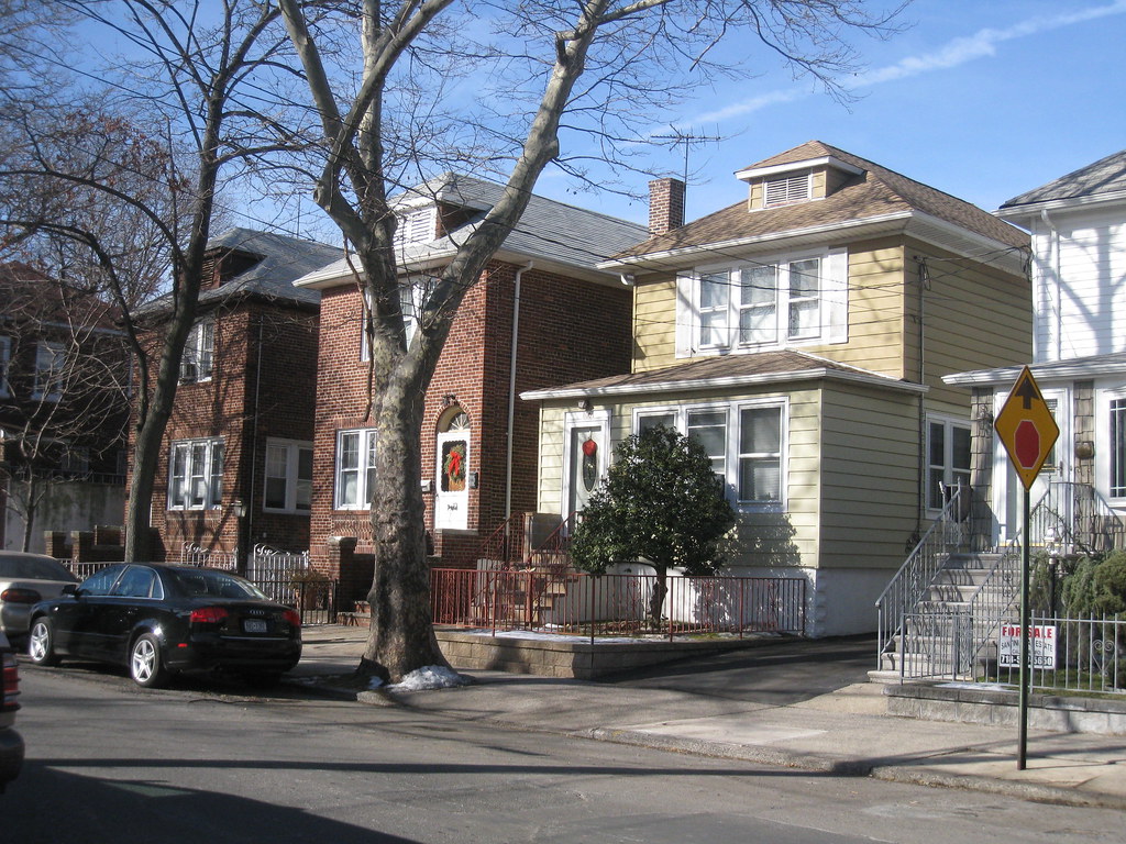
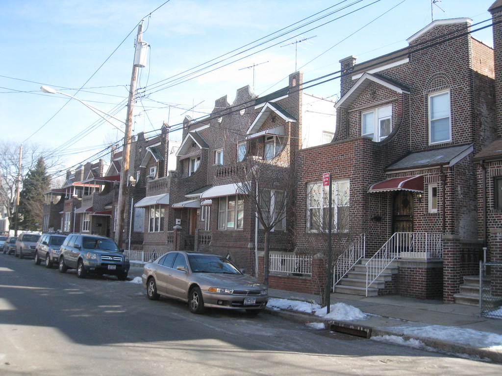
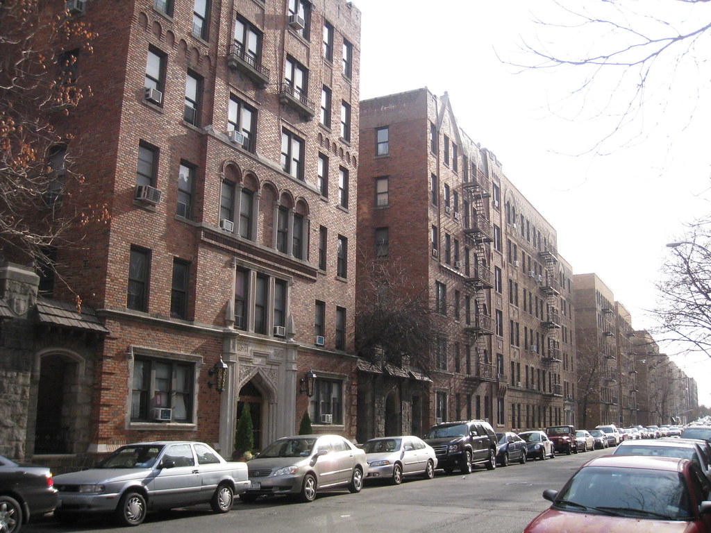
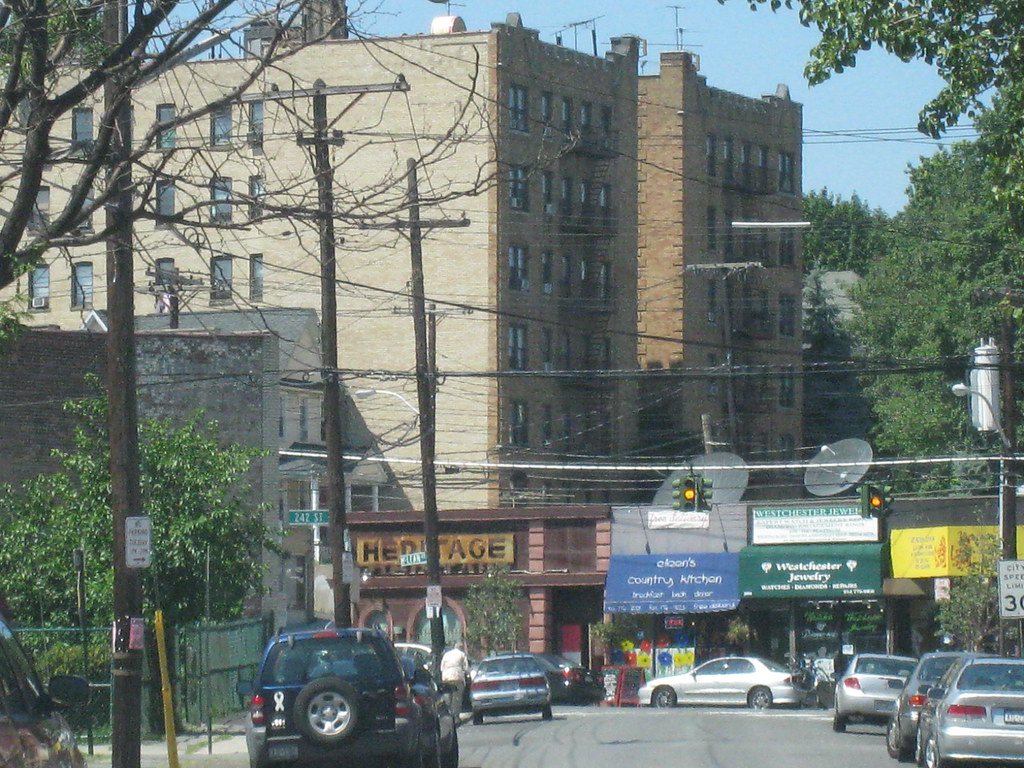
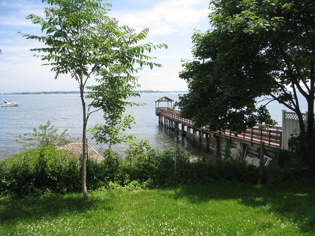
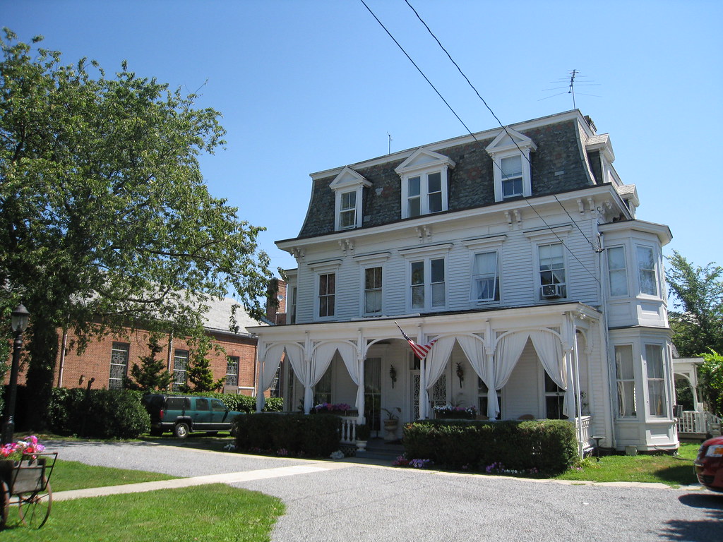
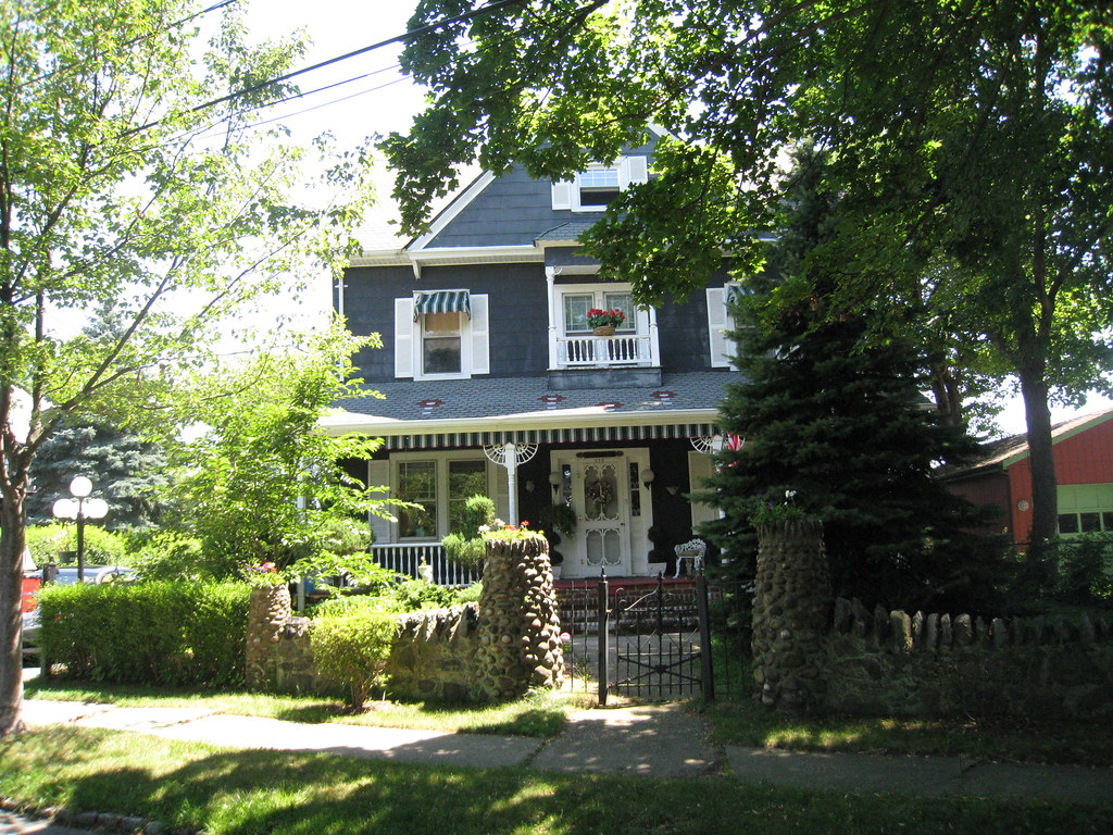
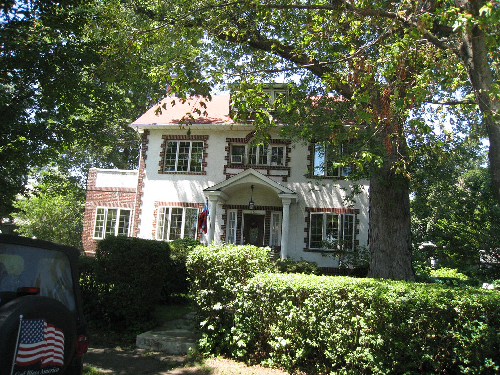
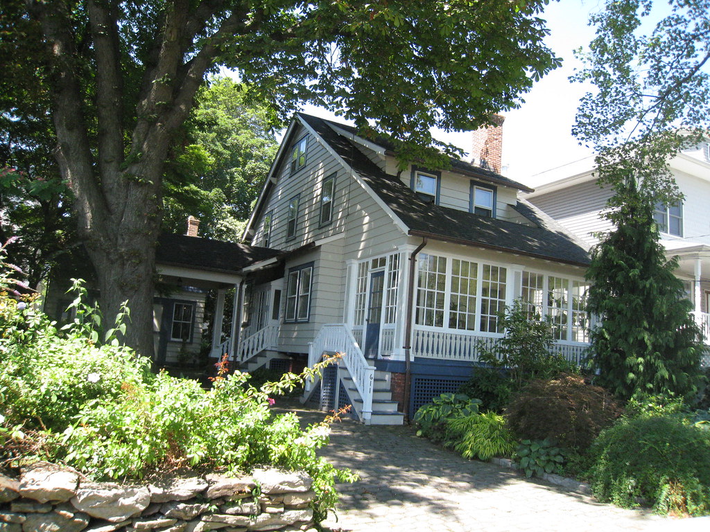
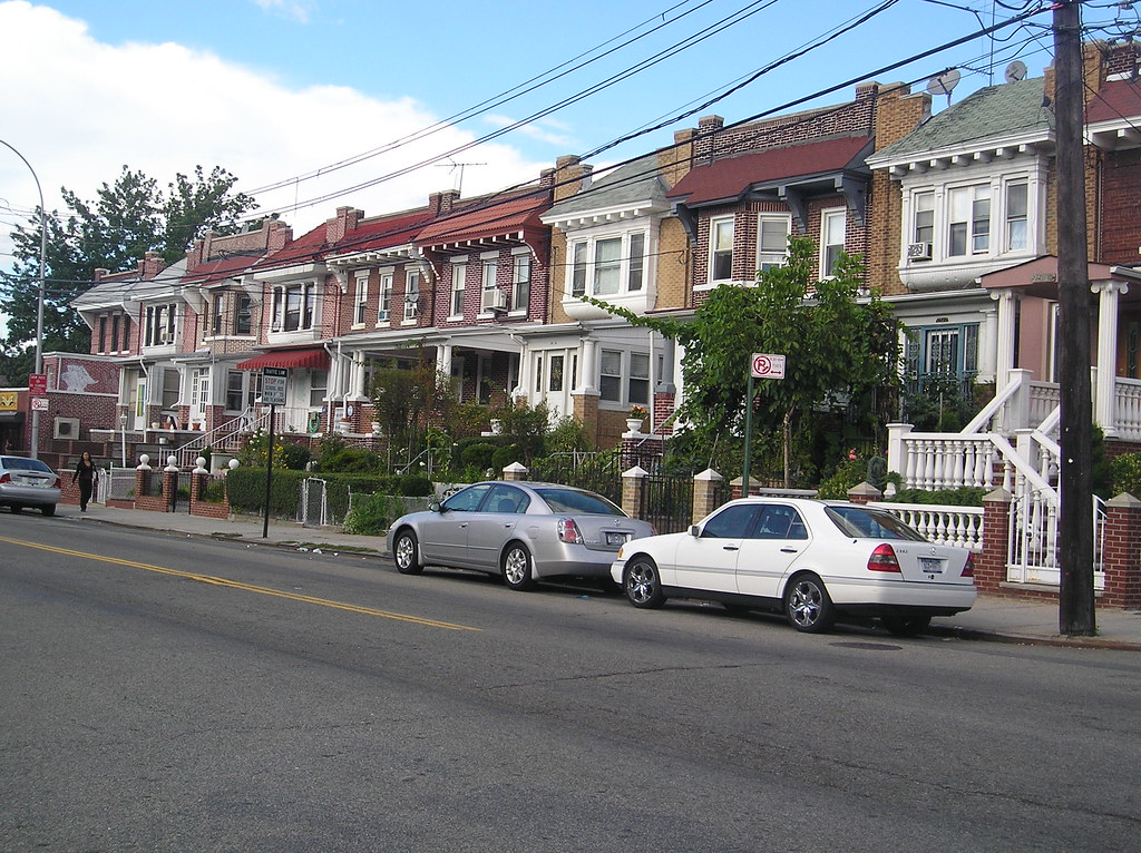
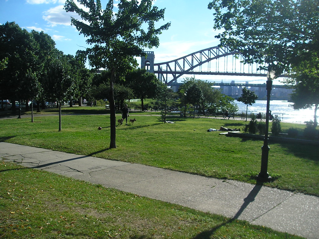
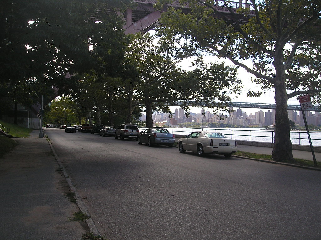
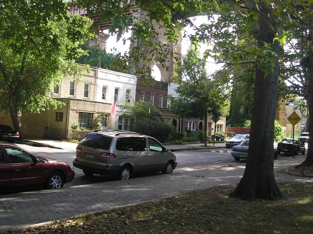
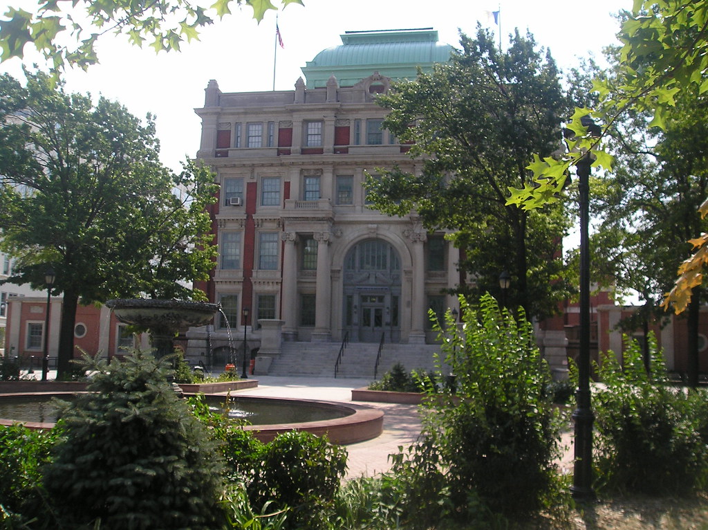
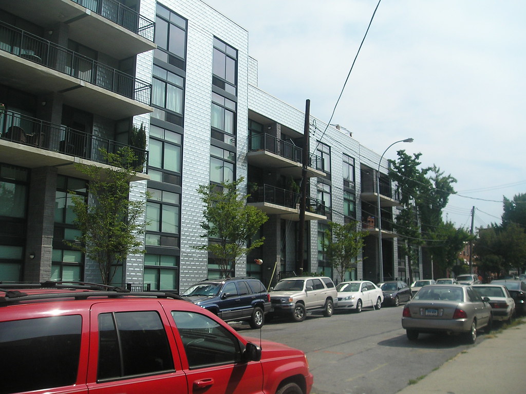
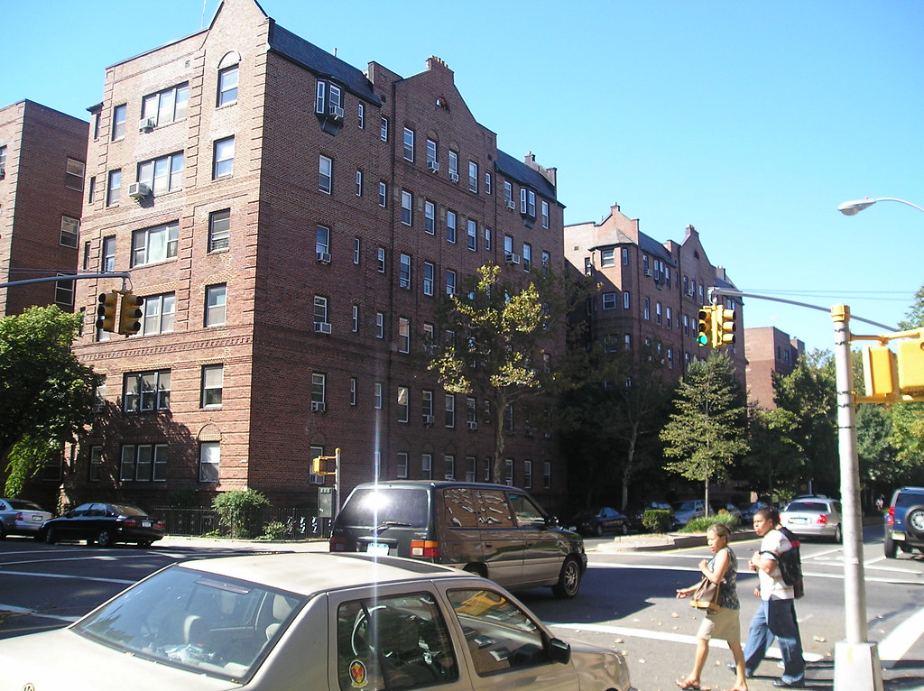
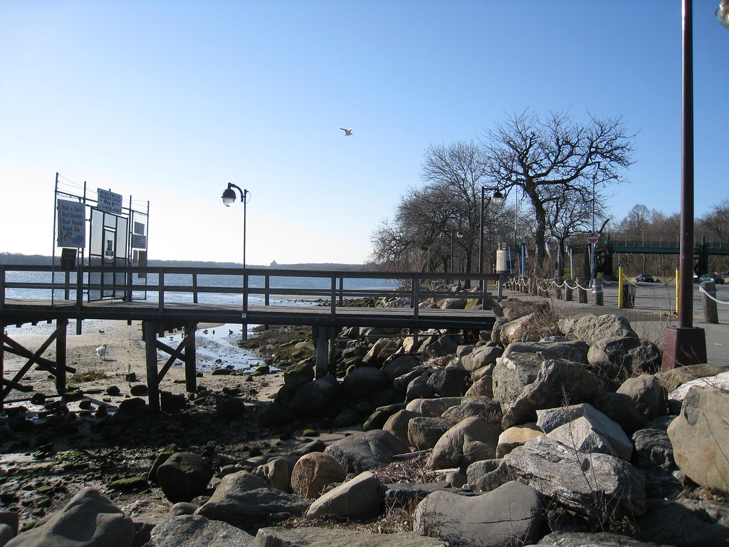
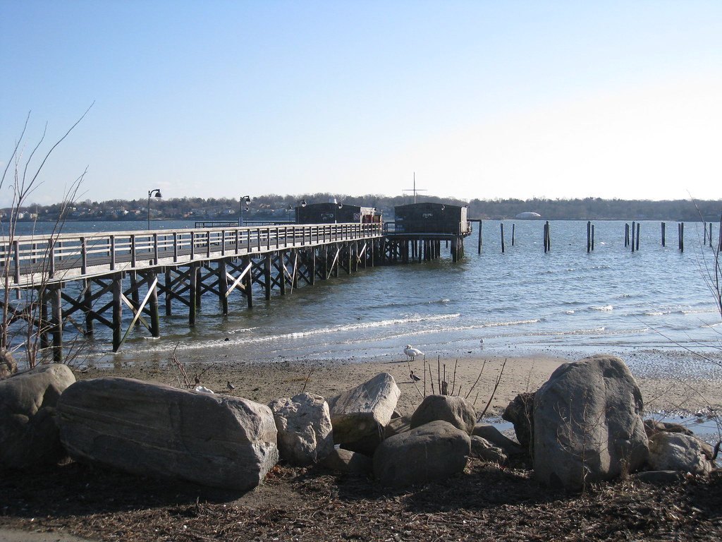
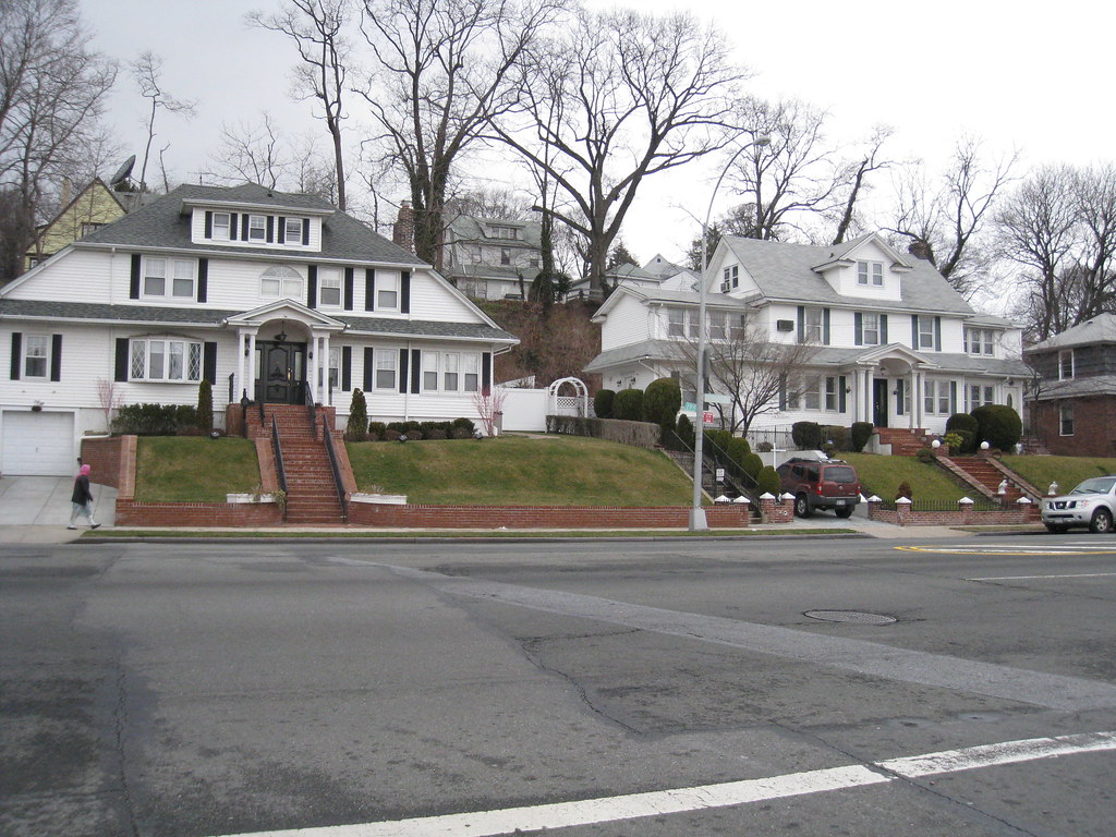
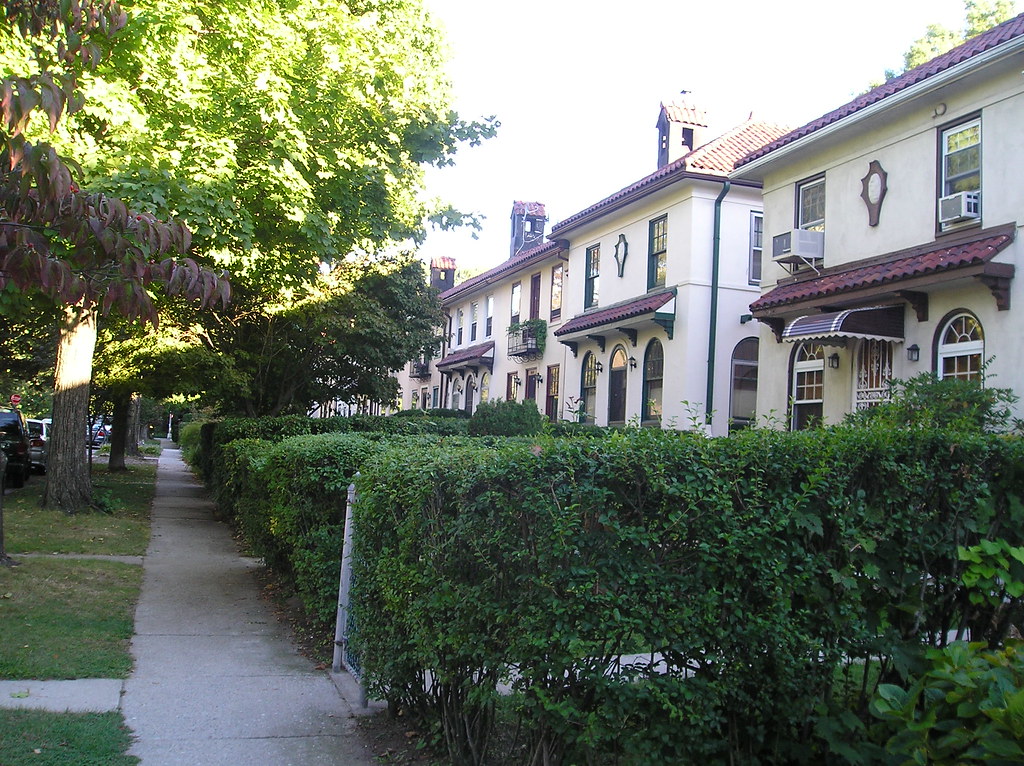
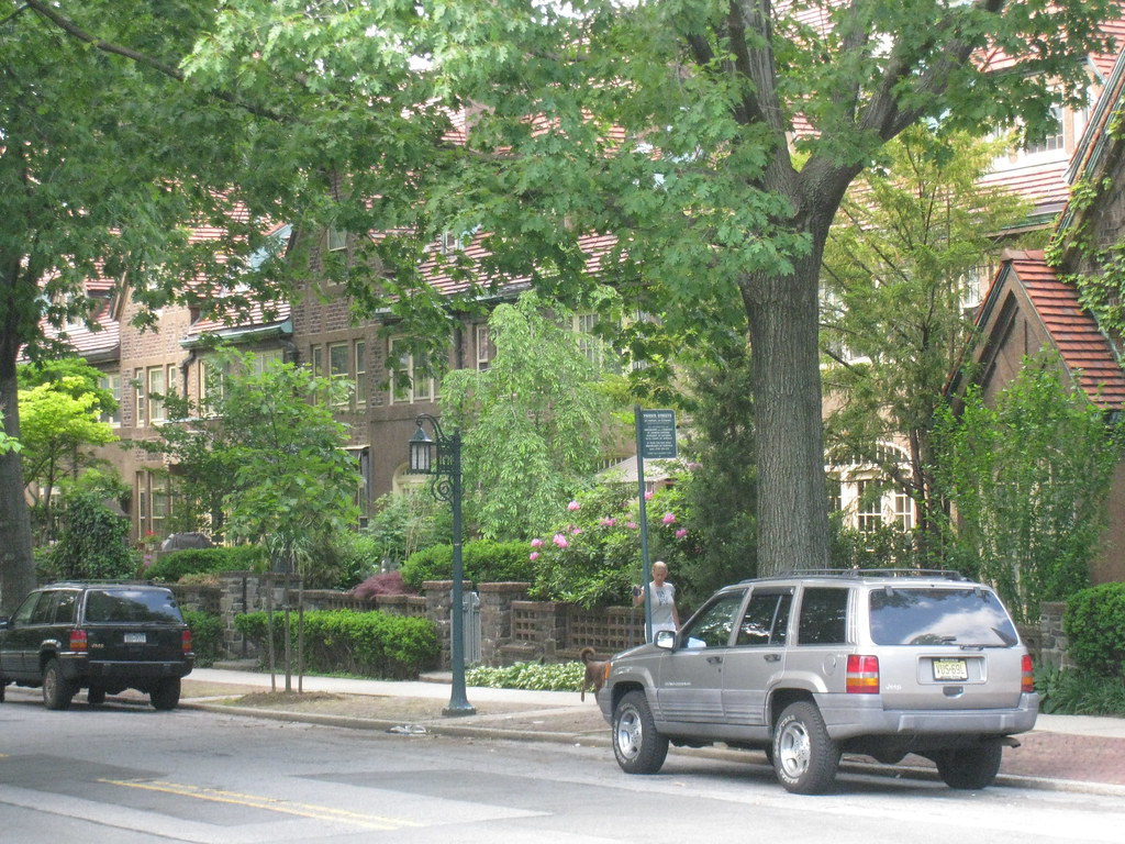
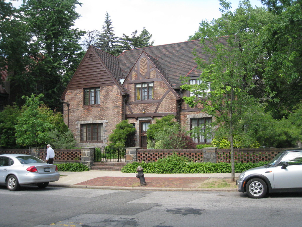
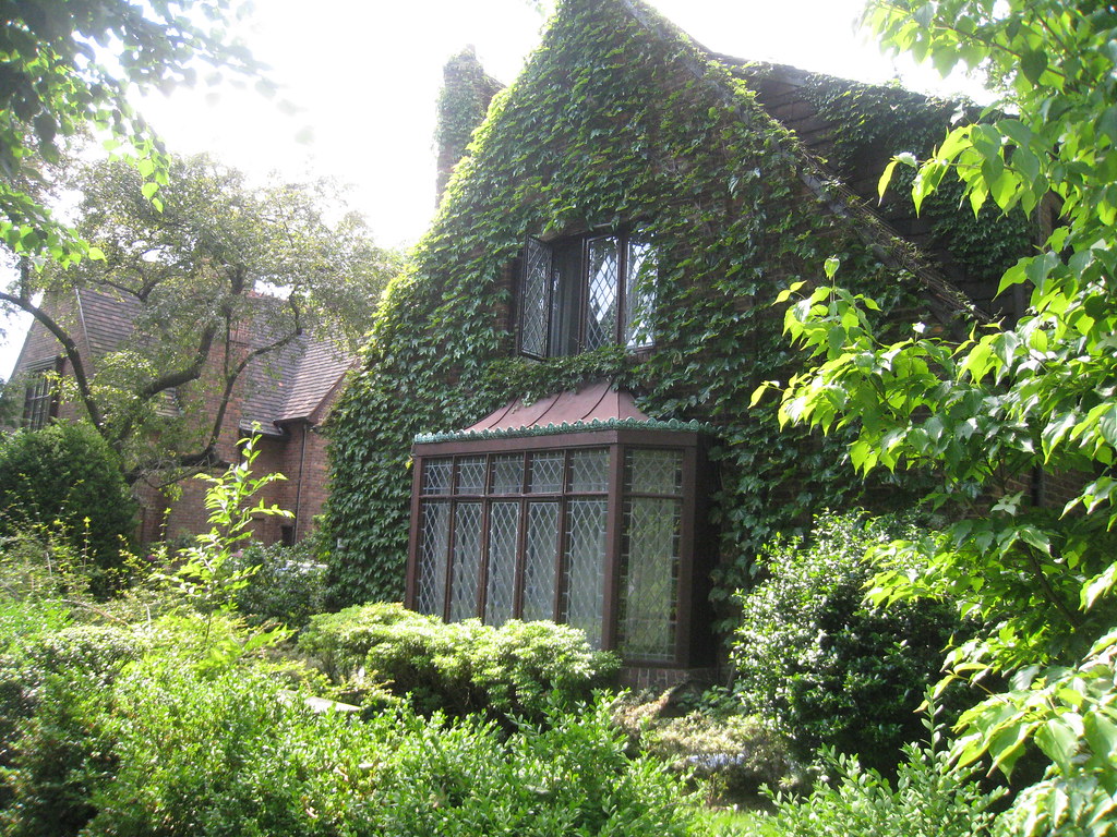
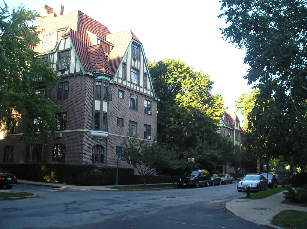
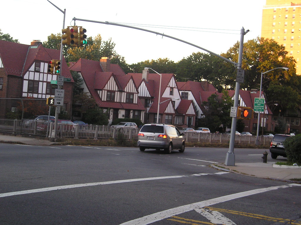
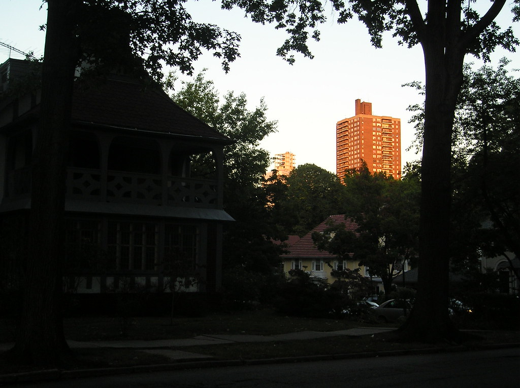
Douglaston is an affluent neighborhood on the north eastern shores of Queens. Having much more in common with upscale suburban Nassau County rather than the greater urban expanse of the Queens borough this community is defined by its large, old homes on their large, lush plots over looking the Long Island Sound and East River from a hilly, wooded vantage point. Douglaston was settled by the Dutch in the middle of the 17th century when a man named Thomas Hicks built up his estate on the peninsula. The estate was passed on through time until the 1830’s when George Douglas purchased 240 acres. Douglas’ son inherited the land in the 1860’s and allowed the North Shore Railroad to extend it’s service to the area. Douglas donated a building to house a station and in thanks the railroad named the stop, Douglaston. The neighborhood showcases lofty homes, the oldest built in Queen Anne and Victorian Style which recalls this particular era in the neighborhoods history. Douglaston lots were laid out in the 1850’s and very large. A realty company purchased 175 acres in the early 1900’s and created a planned community. Larger homes were built by this time in Tudor and Cape styles. The serene location became a popular and safe choice for New York’s upper classes. In the 1980’s condos started going up against the wishes of much of the community but today seem as if they fit in perfectly amidst the otherwise wooded landscape.


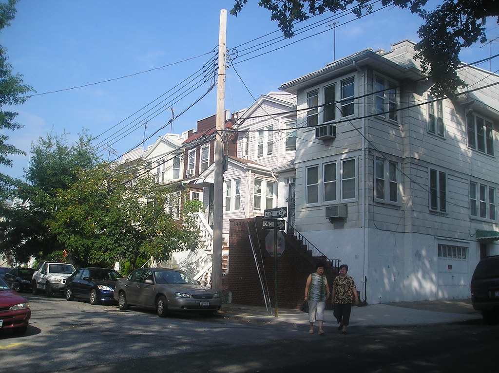
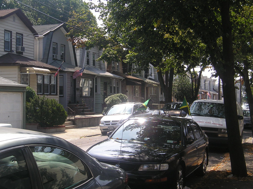
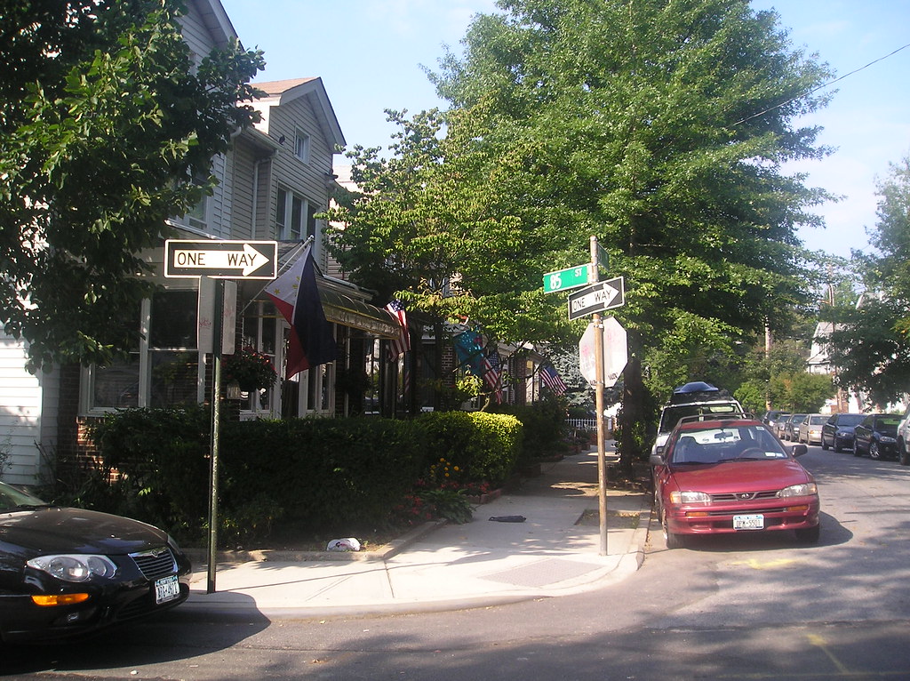
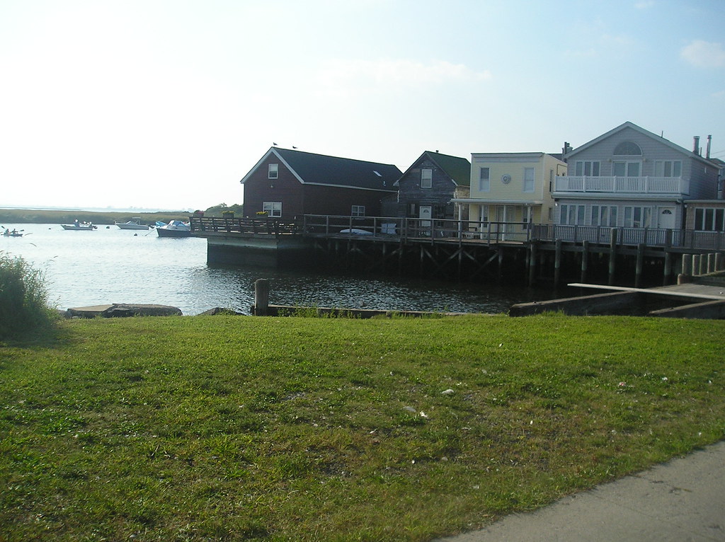
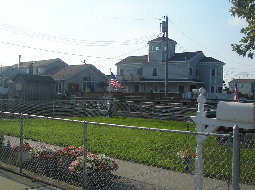
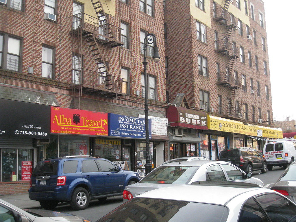
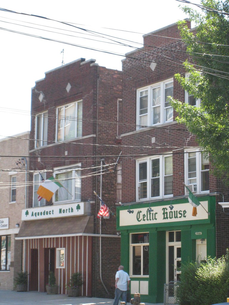
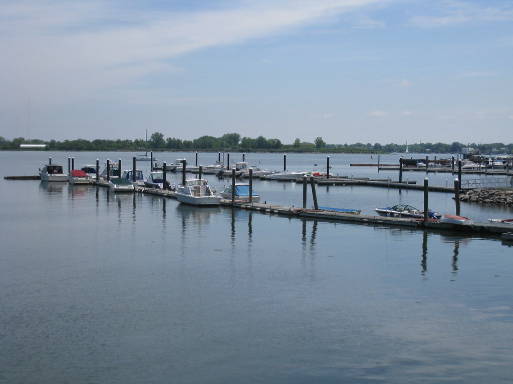
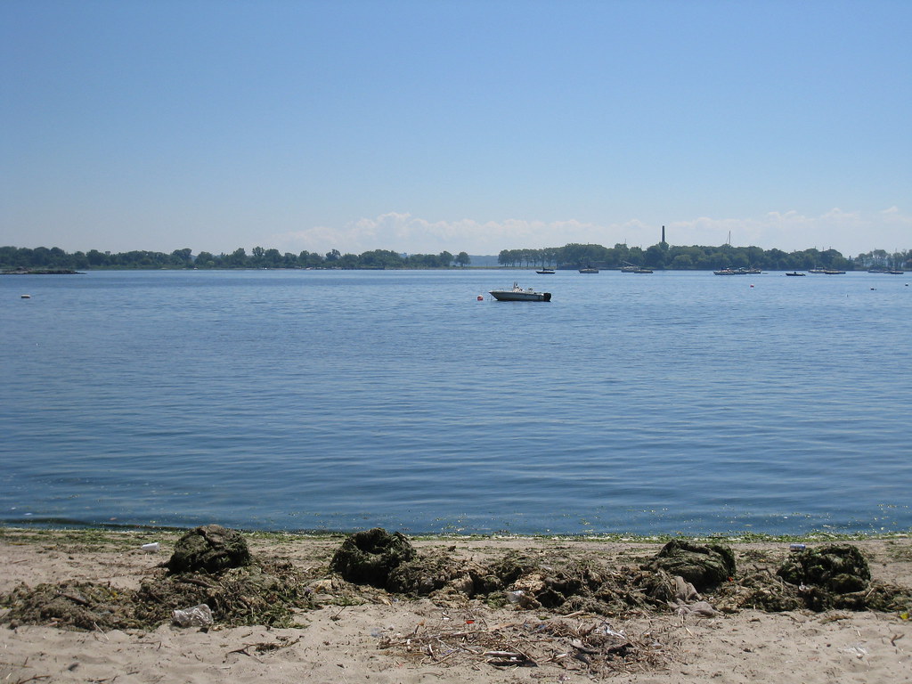
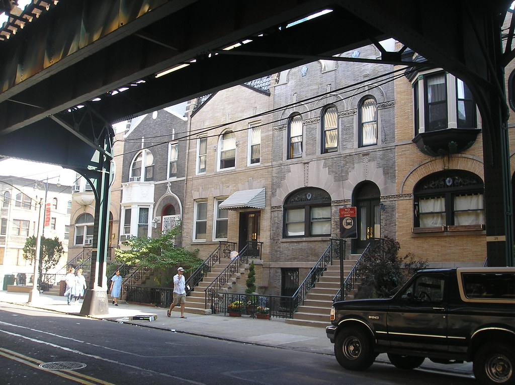
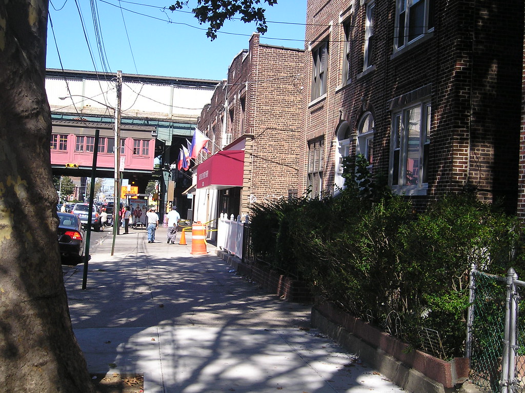
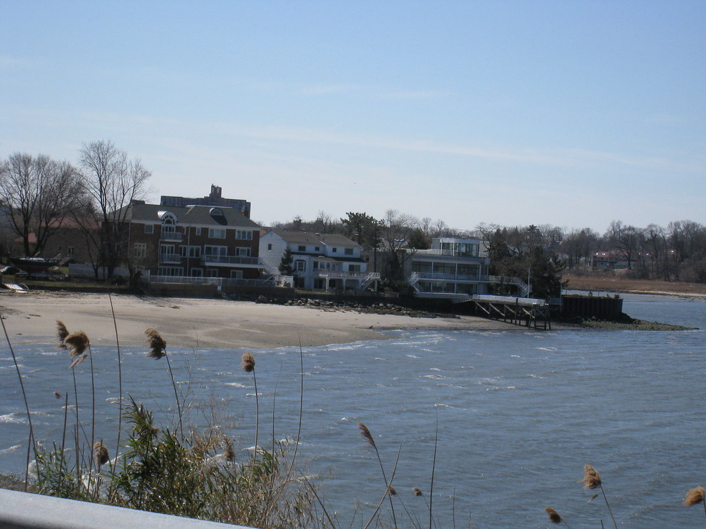
Broad Channel is a unique seaside neighborhood in the middle of Jamaica Bay on a marshy island. Broad Channel, which Cross Bay Boulevard bisects is connected to Howard Beach in the north and the Rockaways in the south by two bridges at either end of the island. The neighborhood has a significant Irish population and is defined by the Irish-American culture, bungalow houses, dockside homes, dead end residential streets and canals separating them. Broad Channel is tiny, only 20 blocks long and 4 blocks wide. The Dutch settled on the island during the 17th century and turned it into a small fishing village. In the 1910’s the city leased the island to the Broad Channel Corporation who subleased to private individuals wishing to build summer bungalows. When Cross Bay Boulevard was built during the 1920’s the population expanded. During the 1930’s “the master builder”, Robert Moses built a large recreational park and wildlife sanctuary at the north end of the island. The park is now part of the Gateway National Recreational Area. The city acquired property and title of the neighborhood after the Broad Channel Corporation went bankrupt in 1939 and denied residents who sub-leased to purchase the plots they vacationed on. The Irish population has been around for over 100 years. With a population of just over 3,000 they make up nearly 85% of the population. The community gained notoriety when during the 1998 labor day parade when a racist float, depicting an African American being dragged by a vehicle was videotaped and aired on the news.


__________________
Brooklyn: The Motherland.
Reply With Quote
     
     
  #170  
Old Posted Apr 1, 2012, 8:34 PM
nygirl1 nygirl1 is offline
Registered User
 
Join Date: Sep 2005
Posts: 566
Best of Queens: Part 1 Astoria-Steinway-Ditmars

Astoria is a working-middle class neighborhood in north western Queens on the banks of the East River. The area was first settled in the 1650’s by William Hallet and his wife and used for planting. Dutch farmers also leased land in the area. The land became known locally as Hallet’s Cove and was largely undeveloped until the early 19th century when wealthy New Yorkers began building suburban villas. Hallet’s Cove was soon founded by a wealthy fur merchant in the 1830’s. The town gradually grew but remained quaint, small and was noted for recreational use. The name Hallet’s Cove changed when the community in an attempted to persuade John Jacob Astor to invest money renamed it in his honor. Astor was one of the wealthiest men in the world and while he did invest in the village it was never as much as residents had hoped for. Astor lives right across from Astoria in what is today’s Upper East Side and from his home was able to see the village, named after him but never set foot in it. As the 1800’s moved in the it’s later half, Astoria saw an economic growth which attracted German immigrants. Astoria became a company town toward the end of the Century when a German settler founded Steinway & Sons Piano Company and built their factory in town. In 1870 Astoria was incorporated as the northern neighborhood in Long Island City. In 1898, Astoria and the rest of Queens County was annexed into New York City. Farms outside of the built up town were turned into residential tracts and a street grid was formed and expanded. By the turn of the 20th century the neighborhood was largely German and Irish. Italians and Jews began moving into Astoria by the 1920’s and 1930’s but it was the Greeks that came in the 1960’s who left the largest stamp on the neighborhood. For the second half of the 20th century Astoria was the center of Greek life in New York and as other nationalities had, it was their claim on the world’s city. For a period of time Astoria was home to the largest Greek population outside of Greece. Their numbers have dropped as birth rates have lowered and Greek immigration to America has slowed significantly. Many have also relocated to various other parts of the city and out to Long Island. Today Astoria is a pretty diverse neighborhood with large groups of Middle easterner’s, some from the northern African countries of Morocco and Tunisia. Brazilians have also laid their claims to Astoria recently and many Bosnians and Bulgarians also call the neighborhood home. Today Astoria is a vibrant middle class community with tons of Greek Taverna’s and Café’s and Greek businesses. While a good portion of the Greek population has relocated many of their businesses remain. If it weren’t for its growing diversity, this would be New York City’s “Little Athens”.


__________________
Brooklyn: The Motherland.
Reply With Quote
     
     
  #171  
Old Posted Apr 1, 2012, 8:39 PM
nygirl1 nygirl1 is offline
Registered User
 
Join Date: Sep 2005
Posts: 566
The best of Queens part 2: Long Island City, Hunters Point and Queensbridge Houses

Heading south to the next areas on our list


Long Island City is a western industrial-commercial-residential neighborhood in Queens along the East River. The area was at one time its own city—in 1870 it merged Astoria with Sunnyside, Dutch Kills, Hunters Point and Ravenswood. The city was home to many factories and most notably, bakeries. A lot of these structures, renovated now, serve different purposes. For instance; Silver Cup Bakery has turned into a large film studio known for Home Box Office productions. The former Sunshine Bakery now houses La Guardia College. In 1898 Long Island City gave up its independence and was annexed into Greater NYC. Today the neighborhood features the 5 Pointz, a complex housing local artist studios legally spray painted by Graffiti artists from across the globe. L.I.C. also features the Socrates sculpture park, Isamu Noguchi Foundation & Museum and the 658’ Citicorp Tower in the neighborhood’s commercial core. Long Island City was also home to Water Taxi Beach which is now a construction site as much of the neighborhood waterfront has become prime real-estate and 20,30,40 story apartment towers are swiftly changing the profile of the new skyline. Long Island City is still home to a large number of industries and home to many operating factories. These factories manufacture everything from Brooks Brothers ties to fortune cookies. Jet Blue Airways has its headquarters in L.I.C. and numerous educational institutions like Briarcliff College, Devry and La Guardia call the area home. The neighborhood boasts the largest amount of art institutions in the borough and studio space in the whole city. It also has a large concentration of art galleries. For almost all purposes this is Downtown Queens—the next frontier and the fourth “Downtown” within the City of New York.


The Queensbridge houses, located within the neighborhood of Long Island City are the largest public housing development in North America. Opened in the late 1930’s it originally served as a community for New York’s lower-middle class residents. In the 1950’s coinciding with white flight much of its middle class opted to transfer to better facilities elsewhere changing the racial balance of the neighborhood which had become majority African American. The area, in the 1970’s and 1980’s become synonymous with the illegal drug trade. The area continues to deal with problems pertaining to this issue though it is no longer the major hot spot it used to be. The area also served as a hotbed in the hip hop scene, during the hard-core east coast era groups like Mobb Deep, Capone and Noreaga and artists like MC Shan, Nas, Marly-Marl and Big Noyd put “QB” a.k.a. “The Bridge” on the map.


Hunters Point:

On the south side of Long Island City is the neighborhood of Hunters Point. A peninsular area bound by Newton Creek and the East River. Throughout the 1800’s Hunters Point became heavily industrialized. In 1870 it merged with several other neighborhoods in it’s vicinity to incorporate Long Island City. Like the other neighborhoods that it merged with the community split from the core of Long Island City when Queens became part of New York City. It remained for some time largely industrialized until deindustrialization in the 1970’s. The neighborhood is a U.S. Historic district currently undergoing massive gentrification. This budding “Little Bohemia” is home to a significant number of Czech’s and as Long Island City is seeing it’s day in the sun, with new condominiums, schools and other amenities the neighborhood is bound to grow.


__________________
Brooklyn: The Motherland.

Last edited by nygirl1; Apr 1, 2012 at 10:15 PM.
Reply With Quote
     
     
  #172  
Old Posted Apr 1, 2012, 8:43 PM
nygirl1 nygirl1 is offline
Registered User
 
Join Date: Sep 2005
Posts: 566
The best of Queens: Part 3 Ridgewood and Glendale

We're gonna take a big jump south east toward the Brooklyn Border neighborhoods in the center of the borough, Ridgewood and Glendale.


Ridgewood- Ridgewood is a Queens residential neighborhood that straddles Queens and Brooklyn. Ridgewood was originally part of Bushwick and long settled by the Dutch, since the earliest years of the 18th century who farmed the land well into the 19th century. The neighborhood began growing as street cars and elevated rail made their way into the community later on in the 1800’s. The neighborhood which developed block by block by densely packed block.
Row houses were built up to house German immigrants working in the breweries of Bushwick. Soon enough ethnic Slovenians began populating the neighborhood followed by the Irish and then the Italians as the 20th century rolled on. The neighborhood during the 80’s and 90’s started taking on a large number of newly arrived Polish Immigrants as the area was already a hot spot for the poles. Today Ecuadorians, Dominicans and the Polish all dominate the neighborhood though there are pockets of African Americans and Puerto Ricans.


Glendale is a residential neighborhood in west-central Queens. The neighborhood was settled during the 1850’s by German farmers and referred to as Fresh Ponds. During the Civil War era a developer by the name of Schott was given a vast portion as debt payment. Schott named this area Glendale after his Ohio hometown. The community sits in what is known as the Cemetery Belt and is somewhat cut off from other neighborhoods as well as the subway system. The neighborhood did see rail development in the 1870’s when what is today, The Long Island Railroad had a stop. In the 1920’s the rail stop burned down and the Glendale Station discontinued in the 1990’s. Glendale continued to remain farm land until the 1920’s. There has been a long standing Italian and German population in Glendale for generations.


__________________
Brooklyn: The Motherland.
Reply With Quote
     
     
  #173  
Old Posted Apr 1, 2012, 8:49 PM
nygirl1 nygirl1 is offline
Registered User
 
Join Date: Sep 2005
Posts: 566
The best of Queens: Part 4 Woodside and Jackson Heights

Now were going to take a jump back into the north western neighborhoods

Woodside is a residential neighborhood in western Queens. Settled by farmers since the early 1700’s this area, Woodside didn’t start seeing large scale development until the civil war era in the 1860’s. Built up on speculation the community became the ideal suburb in the second half of the 19th century due to its proximity to Long Island City and it’s factories. By the 1870’s trains began running through the neighborhood that at the time had become very popular with the working class Irish who could afford to live there. Woodside remained heavily Irish until the 1990’s when several Asian groups made their way to the community in particular, Filipinos. In fact under the Elevated on Roosevelt Avenue is Queens’ very own, Little Manila. Tens of thousands of Filipinos call Woodside home but the neighborhood also has large amounts of Thai, Korean, Chinese, Pakistanis, Bangladeshis and Indians. There is still a significant Irish community in Woodside, they hold one of the largest St. Patrick’s Day Parades in the city.


Moving east a bit


Jackson Heights is a thriving north western Queens residential community. The neighborhood is fairly young beginning major development in the early 20th century. Initially the community was built up for New York’s upper-middle class families. The neighborhood is said to be the first place garden apartments were constructed in. The grandiose buildings sprouted like wild fire in the 1920’s and still exist today. As a garden city, Jackson Heights attracted many middle class families during the 20’s, 30’s and 1940’s. Jackson Heights saw spikes in crime during the 1970’s and 80’s as most neighborhoods in the outer boroughs declined during this era. Crime has been reduced drastically and Jackson Heights is today, a sought after neighborhood. Jackson Heights is one of the most—if not the most diverse community in the nation in what is the undisputed most diverse county. From Asia there are the Chinese, Pakistani, Thai, Korean, Vietnamese, Bangladeshi, Indian and Filipinos. There is also a growing Arab community. From Latin America there are the Ecuadorians, Colombians and Argentineans as well as pockets of Dominicans and Mexicans. There’s the long time Jewish community, the Irish, Italians and newly arrived into the area are immigrants from the former Yugoslavia( Croatians, Bosnians, Serbians) and while it is likely their numbers will grow given the trend New York neighborhoods historically have seen, their community is among the smallest in the neighborhood. Jackson Height’s diversity is reflected in local businesses. The neighborhood enjoys a year-round green market every Sunday. They boast of their historic core and have some of the best and most authentic ethnic restaurants in the city.


__________________
Brooklyn: The Motherland.
Reply With Quote
     
     
  #174  
Old Posted Apr 1, 2012, 8:51 PM
nygirl1 nygirl1 is offline
Registered User
 
Join Date: Sep 2005
Posts: 566
The best of Queens: Part 5 Elmhurst

Just a bit south of Jackson Heights is our next neighborhood

Elmhurst is a thriving neighborhood between north western Queens and Central Queens along Queens Boulevard. The Dutch arrived in Elmhurst during the middle of the 17th century. When the British took over the colony in the 1660’s most of the Dutch remained. The Dutch were an integral part of New York society that the British wanted to maintain business ties with. Elmhurst was established as Nieuwe Stad to maintain Dutch heritage but later changed to Newton which had become one of the largest settlements in the area at the time. In 1896 the village was renamed Elmhurst. After Queens was consolidated into Greater New York City the area became a fashionable district. Elmhurst was exclusively Jewish and Italian from the 1910’s through the 1930’s. It soon developed into one of the most ethnically diverse neighborhoods in New York City and by the 1980’s was home to residents representing over 100 types of nationalities. The area saw crime related with the crack epidemic in the 1980’s and while the crime wave which peaked at the end of the 20th century still exists it has drastically been reduced. Elmhurst is home to the city’s growing 4th Chinatown and the second in the borough. It continues to expand month by month and may one day in the not so far future, rival Flushing. The neighborhood is also home to the popular Queens Center and Queens Place Mall’s which sit in the gaunt shadows of the Lefrak City Housing Development in neighboring Corona.


__________________
Brooklyn: The Motherland.
Reply With Quote
     
     
  #175  
Old Posted Apr 1, 2012, 8:53 PM
nygirl1 nygirl1 is offline
Registered User
 
Join Date: Sep 2005
Posts: 566
The best of Queens: Part 6 Corona

Now we move east of Elmhurst

Corona is a dense residential community in the center of Queens next to Flushing Meadows-Corona Park. It began developing in the 1870’s and 1880’s to attract residents. The first major wave of people to move to the area were the Italians. Through the years as Italians began populating other areas in the outer boroughs, African Americans began moving into Corona. An influx of the city’s earliest Dominican population also came to the neighborhood. During the 1950’s, African American musicians, athletes and civil rights leaders(most notably, Malcom X) lived in Corona. The Latin American community soon came to dominate the neighborhood while African Americans had been settling the Lefrak City housing development on the neighborhood’s south side. Today the area is home to a diverse variety of people, though mostly Hispanic. Colombians and Mexicans have laid their claim on the neighborhood as have Ecuadorians, Chileans, Peruvians and Central Americans. The area is also home to Koreans, Filipinos, Pakistani and Italian populations.


__________________
Brooklyn: The Motherland.
Reply With Quote
     
     
  #176  
Old Posted Apr 1, 2012, 8:57 PM
nygirl1 nygirl1 is offline
Registered User
 
Join Date: Sep 2005
Posts: 566
The best of Queens: Part 7 Flushing Meadows-Corona Park and Willets Point

East of Corona and Jackson Heights is the city park of Flushing Meadows

Flushing Meadows-Corona Park, often referred to as Flushing Meadows is a public park in the center of the borough of Queens. The large park contains the Queens Theater, Queens Museum of Art, Billie Jean King National Tennis Center(home of the U.S. Open), New York Hall of Science, Terrace on the Park Banquet Hall, Queens Wildlife center and Citi Field, home of Mets Baseball. The Park is one of the largest in the city of New York and was created to house the World’s fair in 1939 and again in 1964. The area was previously a dumping site until cleared by “Master-Builder”, Robert Moses, then the Parks commissioner. After the World’s fair some of the buildings were used to house the United Nations before relocating to Manhattan. Today the Park hosts many festivals and events and is popular for residents of neighboring communities of Flushing, Corona, Forrest Hills/Kew Gardens and beyond. Several structures and sculptures donated during the fairs still stand. The famous Unisphere, Rocket thrower and New York State Pavilion and its distinct observation towers are among them. Being the central meeting place in the most diverse county in the country, one could sit on a bench in the park and literally watch the world walk by.


Willets Point is an area north of Flushing Park next to Citi-Field, where the Mets baseball team plays. The area is often referred to as the Iron Triangle. The area is very industrial and defined by auto repair shops, scrap yards and waste processing sites. There are no sidewalks in Willets Point nor are there any sewers. The area has been at times at the center of controversy for failed attempts at development. Among the proposals over the years were a new baseball park and space to house athletes and facilities for the Olympics after the city cast its bid. For 40 years during the Urban Renewal projects were planned and proposed, all failed.


__________________
Brooklyn: The Motherland.
Reply With Quote
     
     
  #177  
Old Posted Apr 1, 2012, 8:59 PM
nygirl1 nygirl1 is offline
Registered User
 
Join Date: Sep 2005
Posts: 566
The best of Queens: Part 8 Flushing

To the east of Flushing Meadows-Corona Park

Flushing Was founded in 1645 by English settlers under the Dutch West India Company and was one of the Dutch colony’s largest original settlements. The area was one of the Queens County’s original five towns that subdivided the vastly undeveloped land. The area housed much the region’s Quakers. During the Revolutionary War many of the farmers and planters in Flushing were Loyalists and quartered British troops. Needless to say, after the war and after the Loyalists were cast out or left on their own the area was up for grabs and repopulated quickly. The area continued to grow into the 19th century as the New York City area in general prospered. During the 1850’s and 1860’s it had grown so large that it incorporated College Point and Whitestone (now two separate neighborhoods)north of the center of town. One of the fiercest opponents of consolidation, Flushing was annexed into New York City in 1898. Remaining farm land was subdivided and developed into high density residential blocks. By 1910 rail service to Manhattan was introduced. The forerunner to Hollywood, Flushing was a center for the young film industry and during the 1920’s the famous RKO movie palace began hosting vaudeville acts. The area became a popular district for middle income working class Italians, Irish and Jewish throughout much of the remainder of the 20th century bit is today much more ethnically diverse. Flushing is home to numerous groups including the Hispanic and African American communities, various middle eastern groups, Russians and the old Irish, Jewish, Italian communities. There are various sects of religious Jews including the Bukhari, Sephardi, Ashkenazi and Mizrahi but the largest groups in Flushing, the ones that truly characterize the area are the Chinese and Koreans. Flushing serves as New York’s second largest Chinatown and rivals Manhattan’s with its bustling activity and dense core. In fact the intersection of Main and Roosevelt Avenue is the third busiest in the city.


__________________
Brooklyn: The Motherland.
Reply With Quote
     
     
  #178  
Old Posted Apr 1, 2012, 9:01 PM
nygirl1 nygirl1 is offline
Registered User
 
Join Date: Sep 2005
Posts: 566
The best of Queens: Part 9 Bayside and Bay Terrace

Now we're going to jump to the north east a bit to our next nabes


Bayside is an upper middle-class neighborhood in north eastern, Queens. The area dates back to the middle/late 1600’s when the English first settled it. A farming community developed during the middle of the 18th century and remains that way for over a 100 years. It started to develop a population as better roads were constructed and suddenly by suburbanized Bayside. The area, during the earliest years of the film industry became a popular area for actors and actresses to build homes in. Bayside became established as a colony for film and stage stars during the 1920’s but when the industry moved to Hollywood most of the residents in Bayside had to leave to pursue careers in southern California. The area lost its glamour appeal at this time and had become just another middle class suburban neighborhood. Many groups call Bayside home, from Greek and Italian to Jewish and Irish. The neighborhood is also home to very large Korean and Chinese populations. Bayside is considered one of the safest and most affluent neighborhoods in the borough and most of its residents are middle to upper middle class though some residents are very wealthy. Bell Boulevard is the neighborhoods major artery and north eastern queens’ social center, lined with bars, restaurants, various small businesses, lounges or social clubs and markets.


Bay Terrace is an affluent neighborhood in north eastern queens often considered part of the larger Bayside area which it shares its history with. Bay Terrace is characterized by its gated communities and cooperative developments most of which developed around the 1950’s and 1960’s.


__________________
Brooklyn: The Motherland.
Reply With Quote
     
     
  #179  
Old Posted Apr 1, 2012, 9:03 PM
nygirl1 nygirl1 is offline
Registered User
 
Join Date: Sep 2005
Posts: 566
Best of Queens: Part 10 Hollis

A long jump to the south now

Hollis is a residential neighborhood in south eastern Queens. The first people to settle this area were Dutch Homesteaders who made Hollis home in the 17th century. Hollis was mostly rural, home to planters and herders until the late 19th century. A developer bought up much of the land in the area and developed single family houses working class New Yorkers could afford. The area became primarily working class African American and hasn’t changed much over the years. Today while significantly still African American but is also home to Guyanese, Pakistani, Indian, Trinidadian, Barbadian , Jamaican and Haitian Creole communities. The pioneering rap group Run DMC hailed from the neighborhood which was also home to some of the first break dancing competitions of the early hip hop era. With several other noteworthy hip hop artists of the early days hailed from the neighborhood as well as Ja Rule, more recently, it is safe to say that while it wasn’t the epicenter it was a hotbed for early hip hop talent.


__________________
Brooklyn: The Motherland.
Reply With Quote
     
     
  #180  
Old Posted Apr 1, 2012, 9:07 PM
nygirl1 nygirl1 is offline
Registered User
 
Join Date: Sep 2005
Posts: 566
The best of Queens: Part 11 Forrest Hills, Kew Gardens

Now were heading into the center of the borough

Forrest Hills is an upper-middle class neighborhood in central Queens, home to a large, mostly reformed Jewish community. The neighborhood was founded at the turn of the 20th century and originally planned for adequate, low income housing for New York’s growing working class. This development took place north of Queens Boulevard which bisects the community. The south side of the boulevard was designed and developed around World War One by a renowned architect of the time named Grosevnor Atterbury. Forrest Hills was one of quite a few garden communities being developed in Queens during this time. It is characterized by Tudor-style homes and spacious, leafy streets. It has a surprisingly quiet atmosphere, being so close to the popular, Austin street and the neighborhoods Tudor style train station. The area is privately owned but open to car and foot traffic. The cottage style community evokes a quaint early 20th century English village, smack dab in the center of the city. The area is easily accessible by subway, rail, bus and car and is one of the most desirable locations of any of the outer-boroughs. During the later half of the 20th century various Jewish sects moved into the region though unlike other heavily dominated jewish areas the community has assimilated and does not shun outsiders who flock to the commercial heart of the neighborhood, Austin Street. This artery of Kew Gardens/Forrest Hills is lined with independently owned boutiques, chain stores, café’s, bars, restaurants and specialty stores. It is a popular destination to locals and a gem unknown to tourists.


Kew Gardens is a garden community in central Queens. The area where the neighborhood exists today was owned by the Man family and undeveloped up until the late 19th century when the Maple Grove Cemetary opened and a rail station was built for mourners. In the last years of the century the Queensbridge Golf course was built in the hills south of the station. The course was abandoned nearly 20 years later when the rail road moved its tracks several hundred feet, bisecting the course. The
Mans decided to develop a community on the land the gold course had stood and named their new community Kew Gardens after a botanical garden in England. Over the next couple of years the streets expanded and hilly land graded to make way for future developments. By 1920 several new apartment buildings and businesses popped up. Large and elegant single family homes were built in a boom for the next decade. During the 1930’s the last piece of vacant land in the neighborhood was developed. During and after World War two, Jewish refugees fleeing Europe settled in the neighborhood and their presence still dominates today. By the 1960’s the area became popular for Chinese-Americans and after the Iranian revolution in 1979, Iranian Jews made Kew Gardens their home. During the last decades of the 20th century immigrants from Pakistan, Israel, the former Soviet Union and China moved into the community. There are several restaurants and small business reflecting the diversity of the area—even an Uzbek diner.


__________________
Brooklyn: The Motherland.
Reply With Quote
     
     
This discussion thread continues

Use the page links to the lower-right to go to the next page for additional posts
 
 
Reply

Go Back   SkyscraperPage Forum > Photography Forums > My City Photos
Forum Jump


Forum Jump


All times are GMT. The time now is 10:54 AM.

     
SkyscraperPage.com - Archive - Privacy Statement - Top

Powered by vBulletin® Version 3.8.7
Copyright ©2000 - 2024, vBulletin Solutions, Inc.