HomeDiagramsDatabaseMapsForum About
     

Go Back   SkyscraperPage Forum > Regional Sections > Canada > Alberta & British Columbia > Vancouver > Vancouver Photos


Reply

 
Thread Tools Display Modes
     
     
  #281  
Old Posted Jul 7, 2015, 6:26 PM
Klazu's Avatar
Klazu Klazu is offline
Registered User
 
Join Date: Apr 2012
Location: Above Metro Vancouver clouds
Posts: 10,186
Jug Island Beach is a nice short walk from Belcarra and has a great view of Indian Arm.


Deep Cove and Quarry Rock on the other side.


The small Jug Island.


Reply With Quote
     
     
  #282  
Old Posted Jul 7, 2015, 6:45 PM
GMasterAres GMasterAres is offline
Registered User
 
Join Date: Oct 2007
Location: Hamburg
Posts: 3,058
Quote:
Originally Posted by vanman View Post

Maybe it's time we start up an SSP hiking group haha.
You may actually be onto something. We've had quite a few hiking friends move out of Metro Vancouver in the past 5 years (most from out of town returning home to Australia, the UK, the US, etc.) and most of my friends just don't hike. My last and longest hiking partner also joined the Army and is now back east so don't even have him to go out with to places.

I'm so far out of shape these days and with our new daughter, my wife and I really need to start doing some more hiking and trekking around. I want her to grow up healthy and not fat like I am now.
Reply With Quote
     
     
  #283  
Old Posted Jul 7, 2015, 7:44 PM
Klazu's Avatar
Klazu Klazu is offline
Registered User
 
Join Date: Apr 2012
Location: Above Metro Vancouver clouds
Posts: 10,186
Take my photos as a motivation, jhauser. We live in such a beautiful province!
Reply With Quote
     
     
  #284  
Old Posted Jul 25, 2015, 12:00 AM
Klazu's Avatar
Klazu Klazu is offline
Registered User
 
Join Date: Apr 2012
Location: Above Metro Vancouver clouds
Posts: 10,186
New Westminster from Pattullo Bridge.


Reply With Quote
     
     
  #285  
Old Posted Aug 10, 2015, 10:24 PM
Klazu's Avatar
Klazu Klazu is offline
Registered User
 
Join Date: Apr 2012
Location: Above Metro Vancouver clouds
Posts: 10,186
These are already from last September, but few photos from hike to St. Mark's Summit. It's a 11km round-trip with 460 elevation gain. Takes 4-5 hours.


Trail to St. Marks.


They have been improving the first 2km of the trail.


Peek of The Lions.


West Lion


East Lion


Sea to Sky Highway down below.


Hazy Horseshoe Bay.


Ferry traffic


Cypress Mountain ski runs.


Bowen Island in the haze.


Surrounding Howe Sound.


Admiring the view.


Some people are not afraid to sit on the edge...


Hazy weather, but great view!
Reply With Quote
     
     
  #286  
Old Posted Aug 10, 2015, 10:27 PM
SFUVancouver's Avatar
SFUVancouver SFUVancouver is offline
Registered User
 
Join Date: Dec 2006
Location: Hamilton
Posts: 6,380
Awesome photos, Klazu. I'll have to do that hike!
__________________
VANCOUVER | Beautiful, Multicultural | Canada's Pacific Metropolis
Reply With Quote
     
     
  #287  
Old Posted Aug 10, 2015, 10:36 PM
Klazu's Avatar
Klazu Klazu is offline
Registered User
 
Join Date: Apr 2012
Location: Above Metro Vancouver clouds
Posts: 10,186
Thanks. It's definitely a worthwhile hike with rewarding views from the summit. The new trail is easy to walk but it only lasts the first 2 kilometers.

When I was up there it was super-hazy. You cannot tell from the photos which I put through several filters to see something. I think it is much clearer this year with less smoke from forest fires.
Reply With Quote
     
     
  #288  
Old Posted Aug 10, 2015, 10:45 PM
Klazu's Avatar
Klazu Klazu is offline
Registered User
 
Join Date: Apr 2012
Location: Above Metro Vancouver clouds
Posts: 10,186
Quote:
Originally Posted by Klazu View Post
When I was up there it was super-hazy. You cannot tell from the photos which I put through several filters to see something.
Just as an example, before and after some post-processing. Keep in mind that the original one is taken through a great camera and an expensive sharp lens, yet it came out so hazy. There is only so much you can do in post to clear the view.

Reply With Quote
     
     
  #289  
Old Posted Aug 11, 2015, 12:20 PM
Spikester Spikester is offline
Registered User
 
Join Date: May 2008
Location: Vancouver - Coal Harbour
Posts: 100
Quote:
Originally Posted by Klazu View Post
Just as an example, before and after some post-processing. Keep in mind that the original one is taken through a great camera and an expensive sharp lens, yet it came out so hazy. There is only so much you can do in post to clear the view.
Have you tried the new Dehaze filter in Photoshop/Lightroom? I've been amazed by some of the results I've seen from that.
Reply With Quote
     
     
  #290  
Old Posted Aug 11, 2015, 10:10 PM
SpongeG's Avatar
SpongeG SpongeG is offline
Registered User
 
Join Date: Jun 2006
Location: Coquitlam
Posts: 39,143
i find microsofts photo editor does pretty good - just hit "auto adjust"

works especially well when taking pictures through windows

this is low res cause its from facebook - taken on a camera phone

without


with auto adjust
__________________
belowitall
Reply With Quote
     
     
  #291  
Old Posted Aug 12, 2015, 12:35 AM
Klazu's Avatar
Klazu Klazu is offline
Registered User
 
Join Date: Apr 2012
Location: Above Metro Vancouver clouds
Posts: 10,186
Quote:
Originally Posted by Spikester View Post
Have you tried the new Dehaze filter in Photoshop/Lightroom? I've been amazed by some of the results I've seen from that.
I am using CS6 for obvious reasons and that seems to be only available for the CC. Pretty neat feature, but seems to also have some compromises in terms of noise. Not sure if it will make a huge difference over the old trick with adjusting Levels, but thanks for the tip.
Reply With Quote
     
     
  #292  
Old Posted Aug 28, 2015, 10:58 PM
Klazu's Avatar
Klazu Klazu is offline
Registered User
 
Join Date: Apr 2012
Location: Above Metro Vancouver clouds
Posts: 10,186
With all the drought in past four months, I wanted to see the water levels in Vancouver's reservoirs for myself. There is no public access to Coquitlamn Lake (as far as I know), but I visited both Seymour Lake and Capilano Lakes yesterday and this is how they look like four months into the drought.


Things are actually not looking bad at Seymour Lake. I was surprised to see the water levels being down by maybe only a meter.


They seem to be some summer maintenance at the dam.


There were fire fighting choppers whirring over the lake. Not sure which nearby fire they were attending to.


It's a completely different story at Capilano Lake. There the water level is down my over 10 meters. As a result a lot of new shoreline has emerged. They should use the opportunity to remove some of those logs.


There is almost no water facing the Cleveland Dam!


Strange to think that the other side of this dam wall is currently empty.


The lake surface is low that there is absolutely no water passing through the dam eventhough it is wide open. Never seen it like this.


Canyon below is just ponds.


No more waterslide.


This is how it normally looks like.

Video Link


So yeah, it looks pretty bad and water levels are currently at around 53-54%. The rain this weekend will help to regain some of lostwater, but unless we will see a normal rainy winter, next summer might be even more challenging and water restrictions will kick in even sooner. Sad sight.

Reply With Quote
     
     
  #293  
Old Posted Oct 2, 2015, 2:24 AM
Klazu's Avatar
Klazu Klazu is offline
Registered User
 
Join Date: Apr 2012
Location: Above Metro Vancouver clouds
Posts: 10,186
For once I had my cell phone at hand when we taking off from YVR. Mount Baker looks absolutely stunning from the air. Mount Rainier next to Seattle (some 200 kilometers away) is the hump below the wing.


Coulds around Cascade Mountains. Scattered glaciers here and there but no new snow yet.


Reply With Quote
     
     
  #294  
Old Posted Oct 5, 2015, 6:24 PM
Klazu's Avatar
Klazu Klazu is offline
Registered User
 
Join Date: Apr 2012
Location: Above Metro Vancouver clouds
Posts: 10,186
It has been three years between our two trips to Dog Mountain in North Vancouver.


First Lake en route.


North Shore Mountains from a cliff.


Crown Mountain (part of Grouse Moutain).


View from Dog Mountain.


Lions Gate Bridge


Ironworkers Second Narrows Bridge


Metrotown in the haze.


Downtown with Vancouver Island mountains in the background.
Reply With Quote
     
     
  #295  
Old Posted Oct 6, 2015, 12:14 AM
SpongeG's Avatar
SpongeG SpongeG is offline
Registered User
 
Join Date: Jun 2006
Location: Coquitlam
Posts: 39,143
wow that cruise ship (last pic) is huge
__________________
belowitall
Reply With Quote
     
     
  #296  
Old Posted Oct 26, 2015, 6:19 PM
Klazu's Avatar
Klazu Klazu is offline
Registered User
 
Join Date: Apr 2012
Location: Above Metro Vancouver clouds
Posts: 10,186
Few photos from the hike to Whyte Lake in West Vancouver.


The trail goes under the Upper Levels Highway.


It's a nice short hike through a calm Nelson Canyon Park.


Whyte Lake itself is a tiny forest lake.


Reply With Quote
     
     
  #297  
Old Posted Oct 27, 2015, 7:04 PM
Klazu's Avatar
Klazu Klazu is offline
Registered User
 
Join Date: Apr 2012
Location: Above Metro Vancouver clouds
Posts: 10,186
Last weekend I happened to visit the small Invergarry Park in North Surrey. I didn't know that there is a nice mountain bike terrain park in there. There are trails for three different skill levels. Looked fun.


Also Port Mann Bridge is well visible from the area.

Reply With Quote
     
     
  #298  
Old Posted Jan 14, 2016, 8:56 PM
Klazu's Avatar
Klazu Klazu is offline
Registered User
 
Join Date: Apr 2012
Location: Above Metro Vancouver clouds
Posts: 10,186
Not Lower Mainland per se, but close enough. Last Saturday we decided to give skiing at Mount Baker a try and drove there from Vancouver. As expected, the snow was just heavely and already now crazy deep!

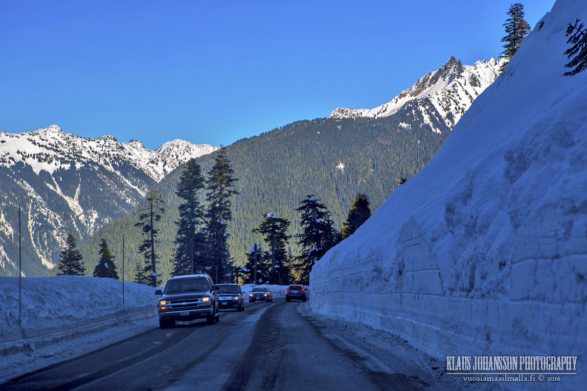
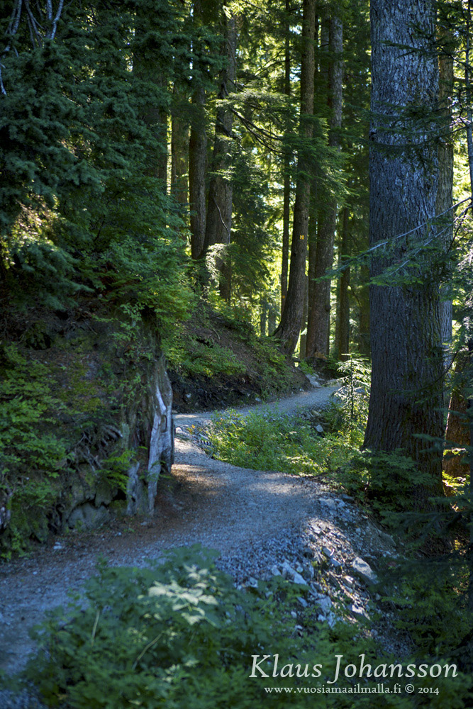
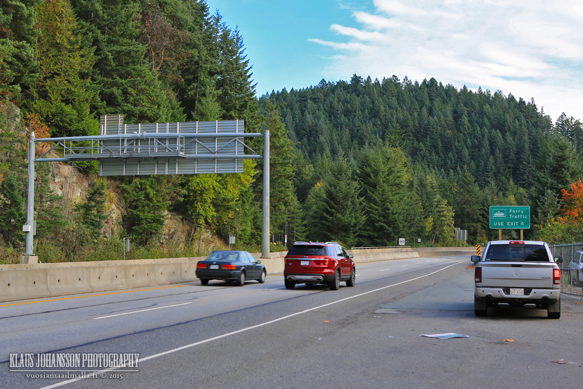
The drive up the mountain is beautiful, even in the first morning light.


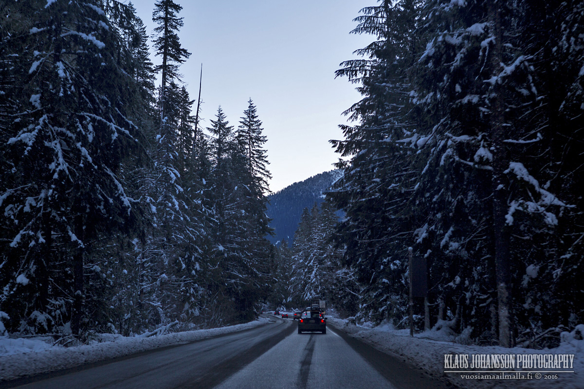
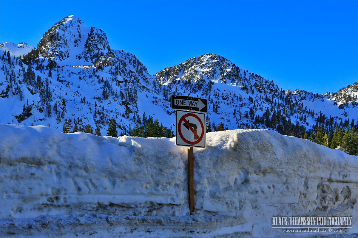
Closer we drove, higher the snow banks got. No wonder that the base is currently at respectable 282cm (111 inches)12:36 14.1.2016.


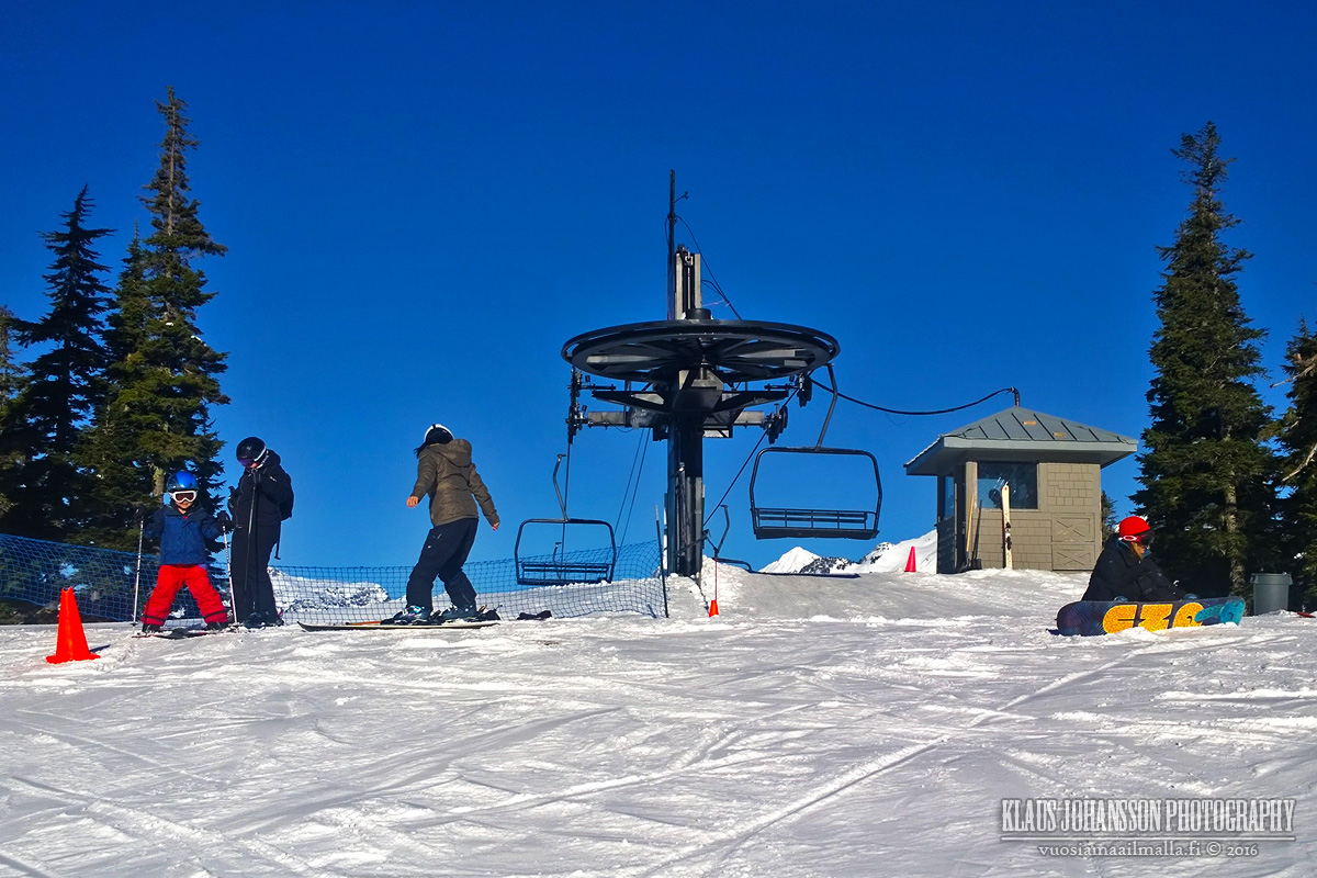
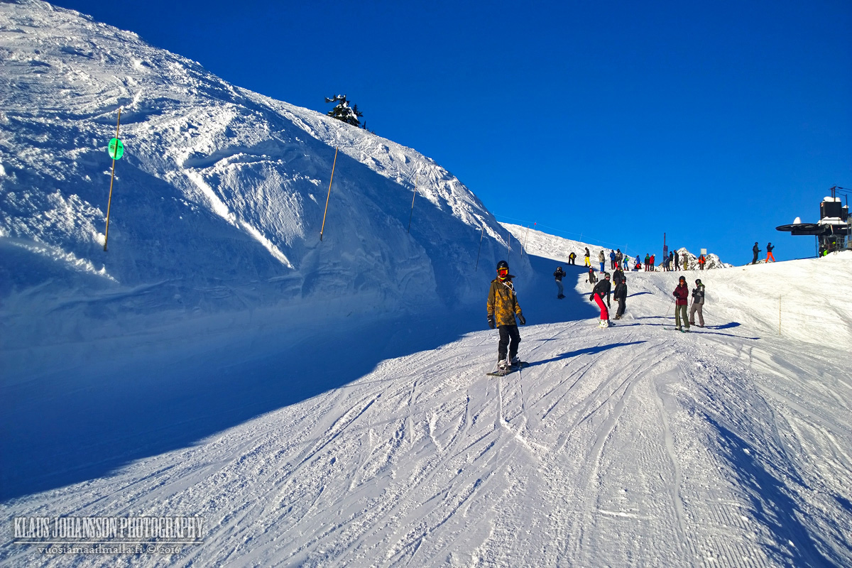
One of the biggest surprises to us was that 6 out of 8 chair lifts at Mount Baker have no safety rail whatsoever! I have never seen such and found it very unpleasant to be sitting there when you suffer from minor vertigo. I just wonder how often people fall off from these lifts and hurt themselves badly. Incredible that such lifts still exist in 2016!


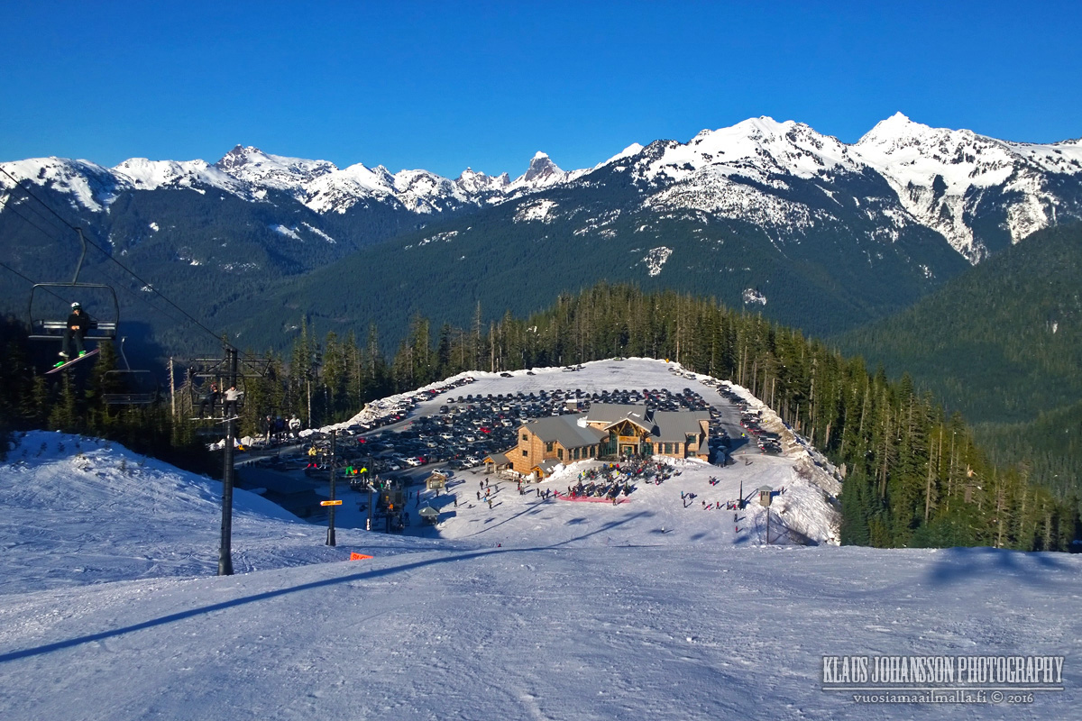
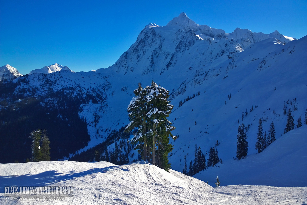
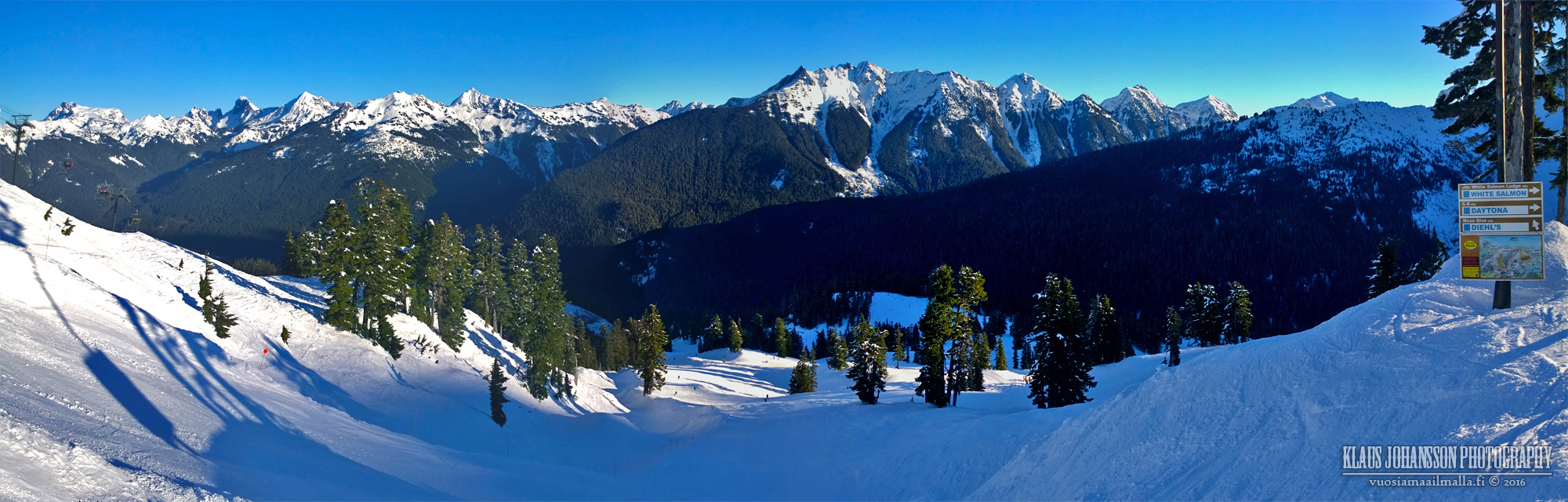
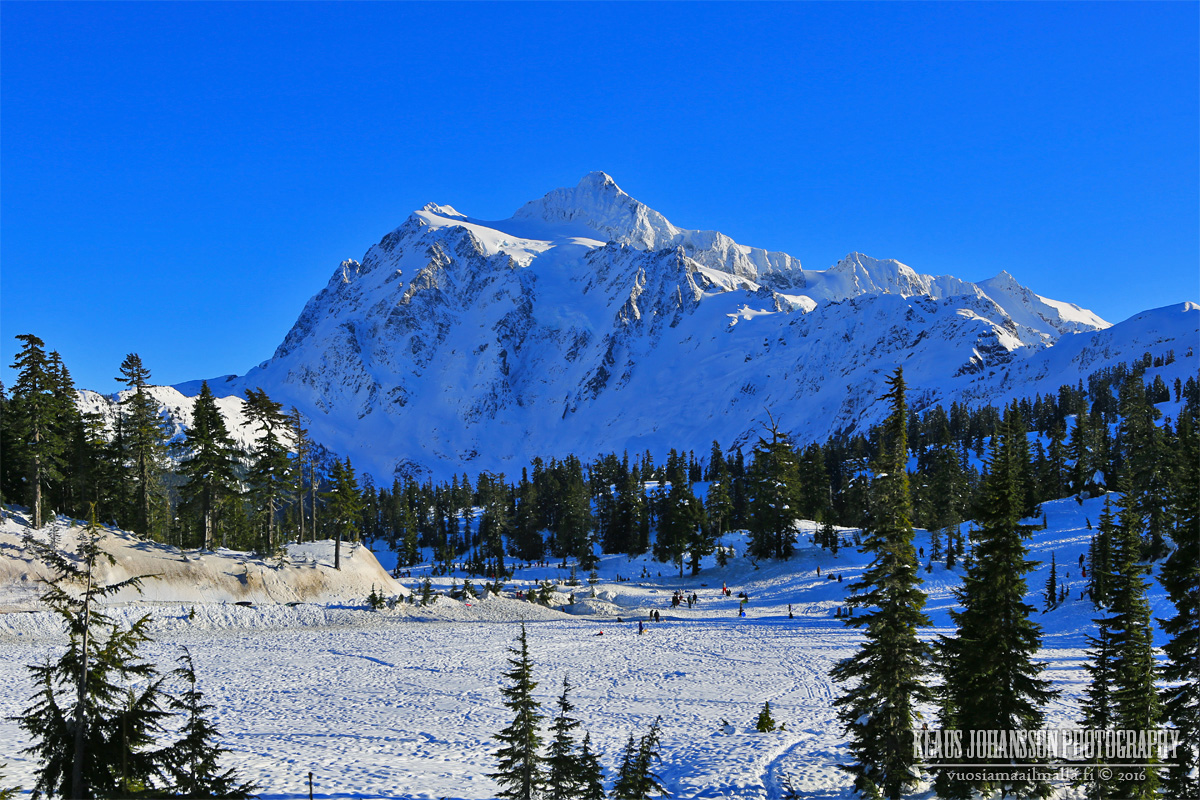
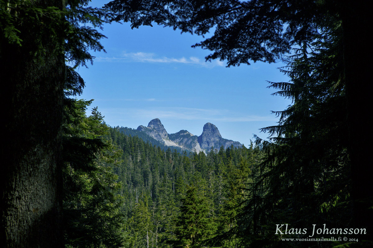
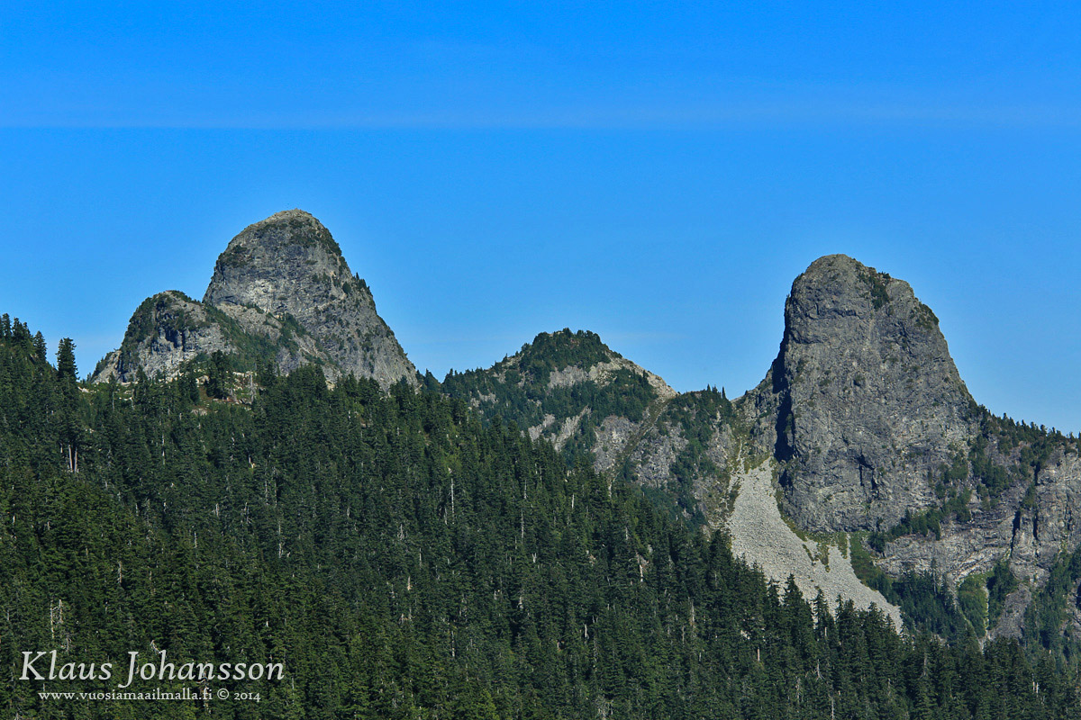
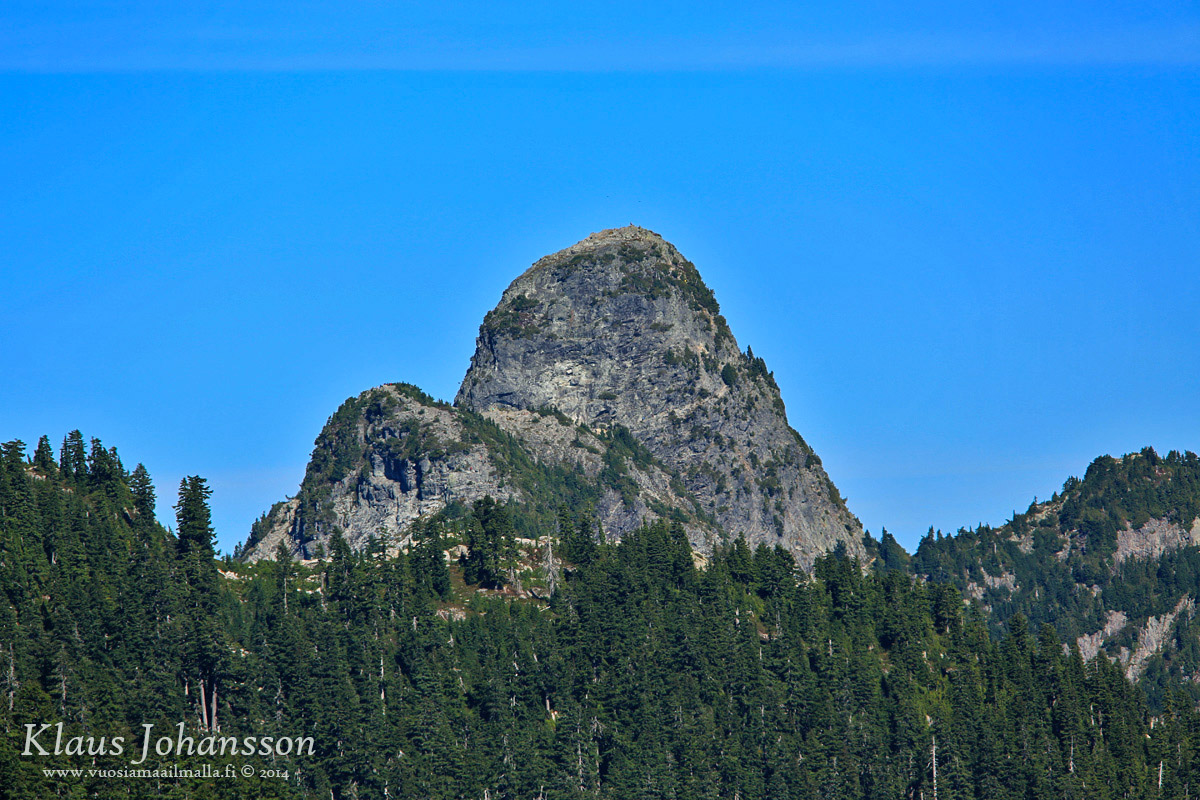
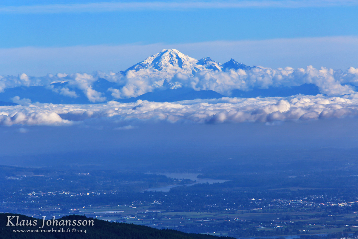
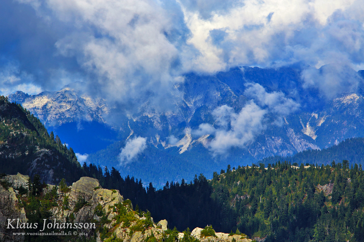
The ski center is actually not on Mount Baker (3,286 meters / 10,781 feet), but on a ridge between Baker and Mount Shuksan (2,783 meters / 9,131 feet). You cannot even see the former, but you can see the latter, which looks epic. The ridge right from the mountain is a backcountry skier's heaven!

Be aware that the ski center is on a north face of the ridge and is in a shadow for the most of the day.


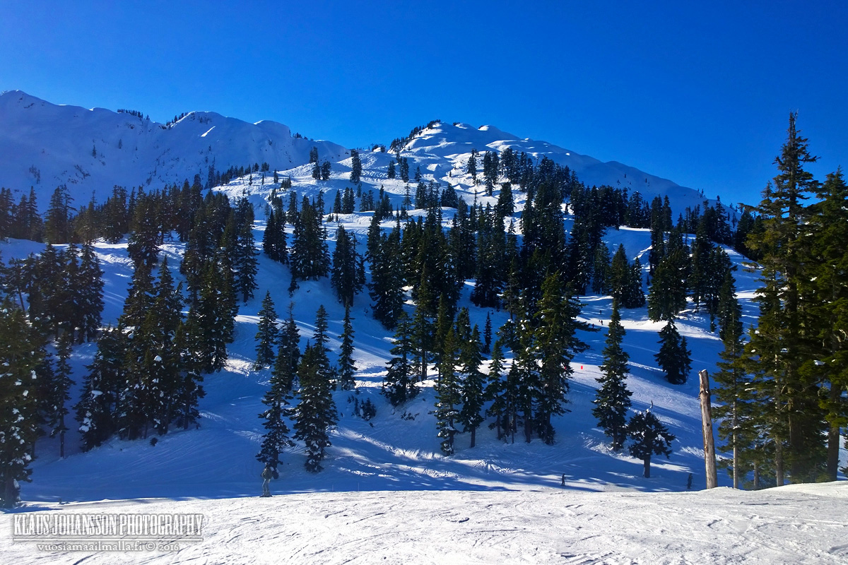
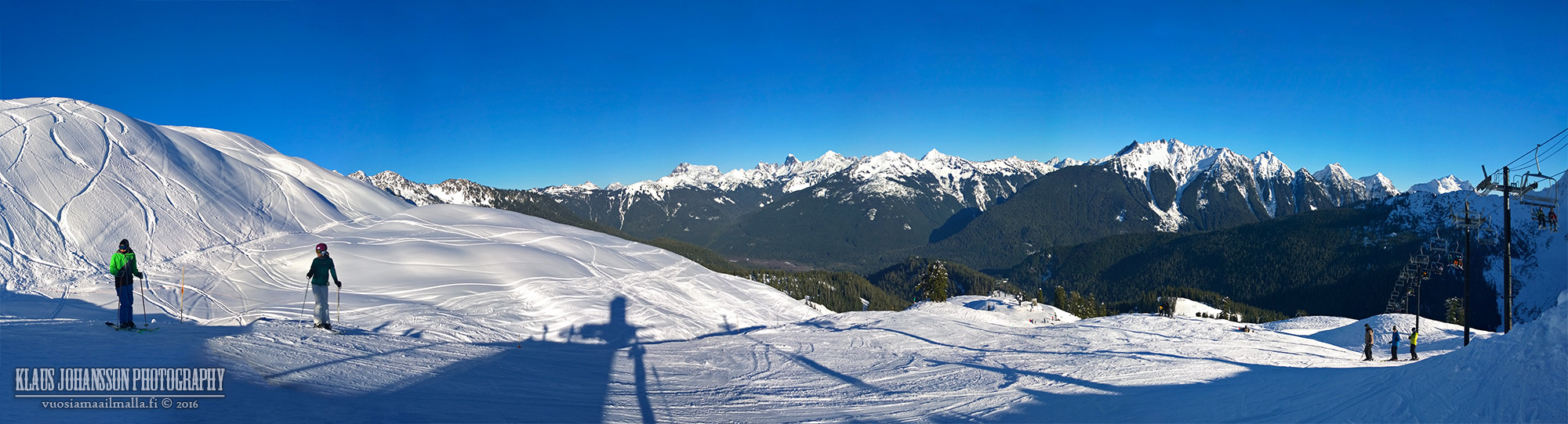
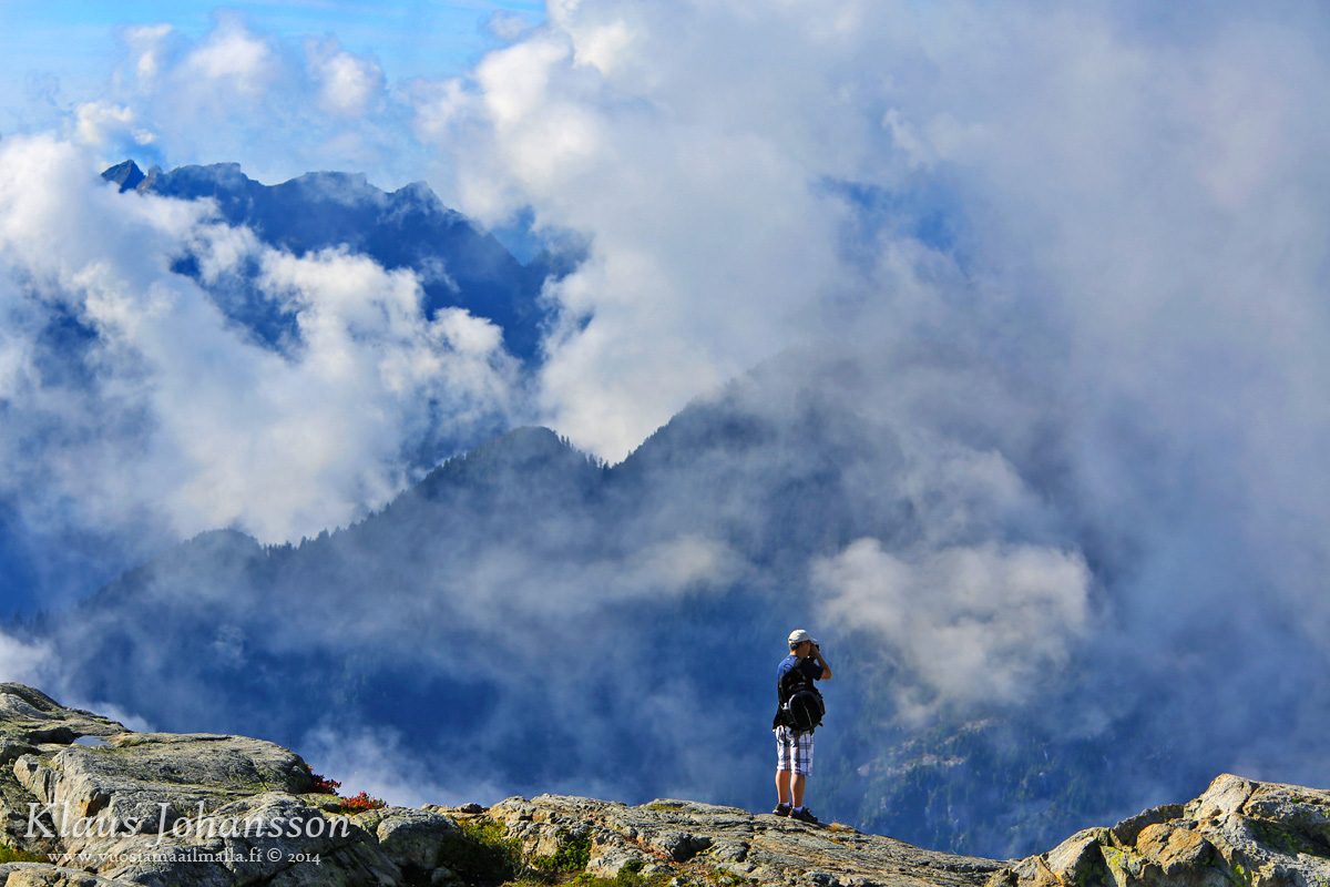
View from the top of the ski center (1,551 meters / 5,089 feet) is gorgeous on a sunny day.


Yeah, there is no lack of snow on Mount Baker. They hold the world record for snow fall at 29 meters (1,140 inches) and even the average annual snow fall is 17 meters (669 inches)!


After a full day of skiing we drove to check out the famous Picture Lake, which was frozen all over.


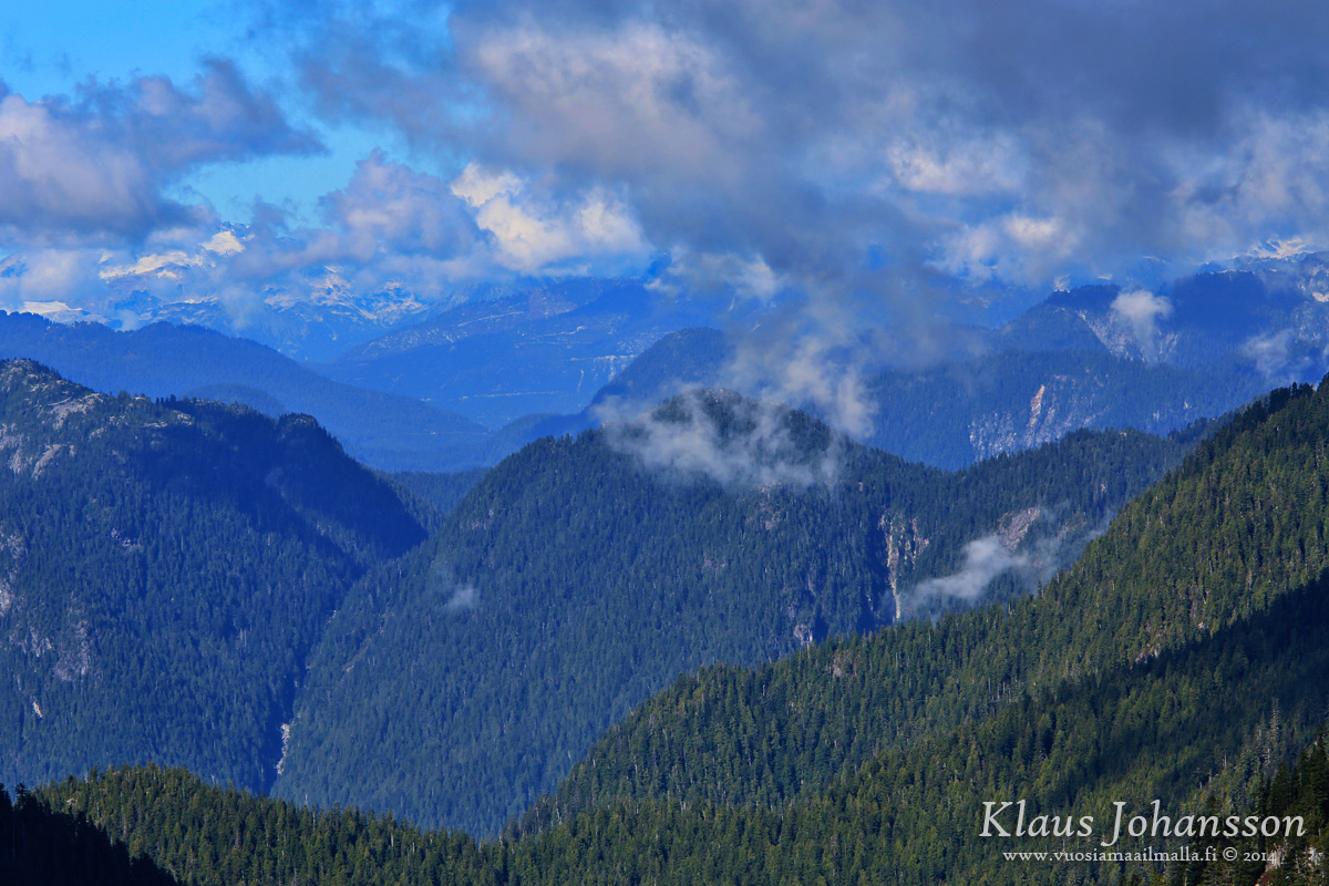
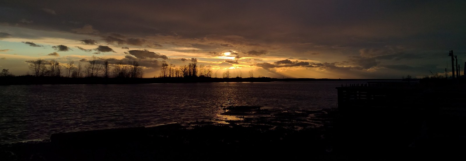
Back in Sumas the sun was already setting and it felt like spring. All mountains behind the trees is Canada.


Mount Baker definitely makes for an amazing day trip from Vancouver. You just have to leave at 6am and you will be there when the lifts start running at 9am. We will be going back, since the snow on Baker is so heavenly dry and crazy deep.
Reply With Quote
     
     
  #299  
Old Posted Jan 21, 2016, 10:34 PM
Klazu's Avatar
Klazu Klazu is offline
Registered User
 
Join Date: Apr 2012
Location: Above Metro Vancouver clouds
Posts: 10,186
Turning the clock back to September 2014, here are some photos from a hike up the three peaks of Mount Seymour. It's a fantastic nine kilometer round-trip that takes one approximately five hours.


Trail up is fairly steep and has lots of boulders.


There are some spectacular drops to check out.


First peak ahead!


Tri-Cities area of Lower Mainland (Eastern Metro Vancouver).


Mount Baker is an ever-present part of the local background.


Burnaby Mountain


Port Mann Bridge and Guildford area in Surrey. Note the huge Canadian flag.


The very hazy Downtown Vancouver. The weather gets hazy during summer.


Panorama from the first peak. Wish the sun would have been behind me, but what can you do.


Onwards towards the next peak!


View from the second peak. Indian Arm fjord peeking.


Better view of the Indian Arm.


Third and the highest peak.


Top of Mount Seymour (1,455 meters | 4,773 ft).


Hikers on first peak as seen from the third peak.


Mountains on fire. Mist evaporating after night's rain.


Grouse Mountain side.


The wild and vast North Shore Mountains backcountry.


Made it up there!


Backcountry panorama.


Mount Seymour ski lift top station. Long way back to car ahead of us.


There you have it. Yeah, I definitely recommend this hike.
Reply With Quote
     
     
  #300  
Old Posted Feb 29, 2016, 5:13 AM
Pinion Pinion is offline
See ya down under, mates
 
Join Date: Jul 2007
Posts: 5,167
Took this in Steveston today

Steveston, BC, sunset by chrisjohann, on Flickr
Reply With Quote
     
     
This discussion thread continues

Use the page links to the lower-right to go to the next page for additional posts
 
 
Reply

Go Back   SkyscraperPage Forum > Regional Sections > Canada > Alberta & British Columbia > Vancouver > Vancouver Photos
Forum Jump


Forum Jump


All times are GMT. The time now is 5:00 AM.

     
SkyscraperPage.com - Archive - Privacy Statement - Top

Powered by vBulletin® Version 3.8.7
Copyright ©2000 - 2024, vBulletin Solutions, Inc.