2 weeks ago (on the 23rd) I went out for a bike ride in South Austin to check on "the views". Most of the photos were taken from the ground. I did take a few from the railroad bridge at William Cannon Drive, the South Austin ACC Campus garage, and the 3rd floor of an apartment.
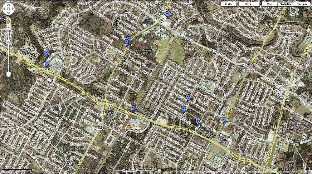
A map of where I went. The drops in the lower right are in my neighborhood. From there I went west
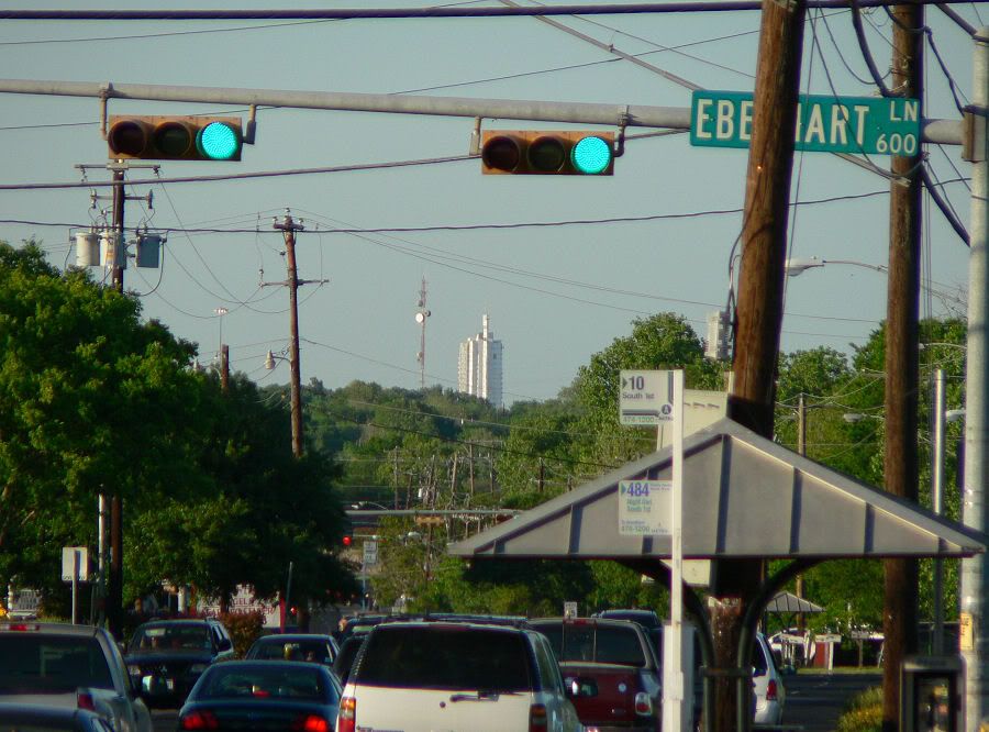
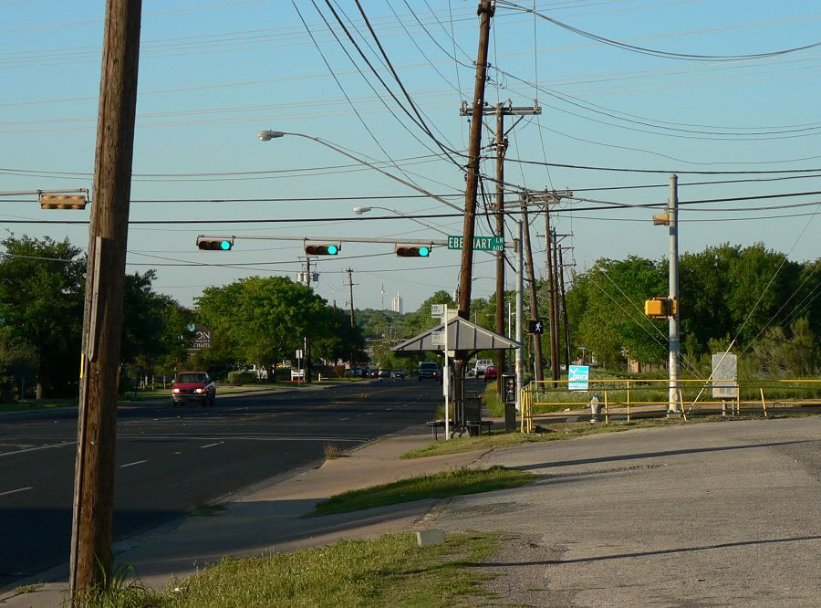
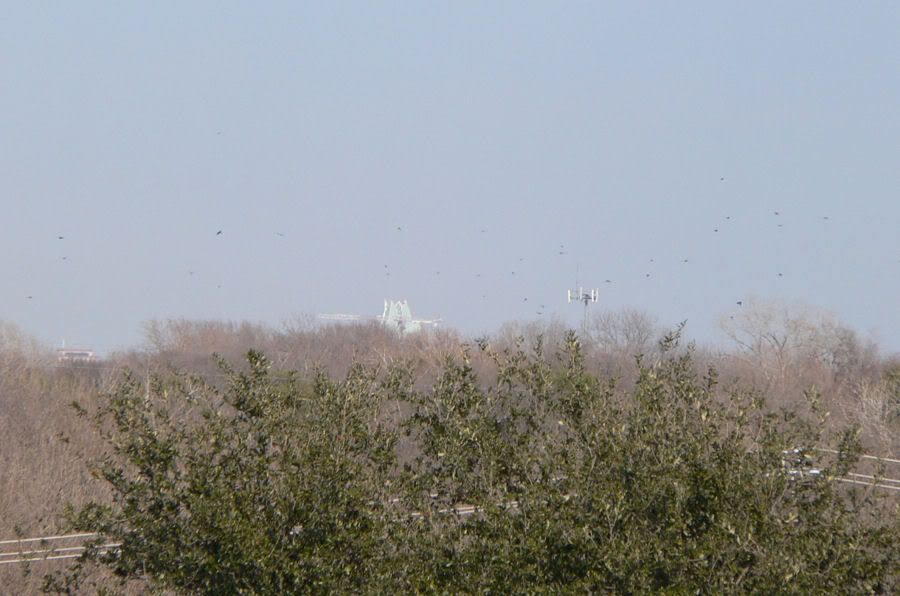
360. I actually took this shot and the next one last April. It wasn't showing up very well this last time. When I first went out it was a little cloudy, but it later cleared up nicely. I took this shot near an auto parts store on South First near Eberhart Lane. The communication tower to the left of 360 is near South First and Ben White near the fire station.
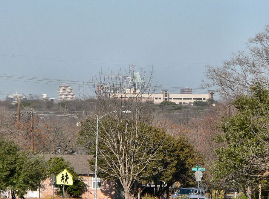
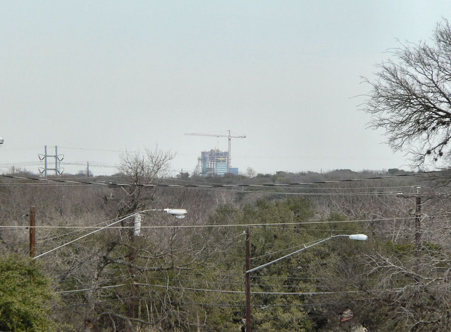
This shot and the next 4 are from Emerald Forrest Drive. This is a ~5 minute bike ride from my house. L2R: One American Center, The Ashton, Frost Bank Tower and the top of One Congress Plaza. The building in the foreground is the 5-story South Austin Hospital "tower" on Ben White Boulevard. To the left of One American Center, you can see the top of the hospital's parking garage. And of course you can see the crane for The Austonian. The building's going to show up big time here.
Chase Bank Tower showing up too to the far left.
Dobie Center, with the UT Tower behind it, 360 Condos, 300 West Sixth and the Chase Bank Tower to the far right.
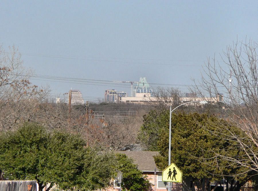
Spring. I had really doubted that I'd be able to see it since it's so far west in downtown, plus it stands at a lower elevation than the rest of downtown. I hadn't been looking for it either until I went out for my ride. With the winter weather and clouds, downtown usually disappears around my neighborhood.
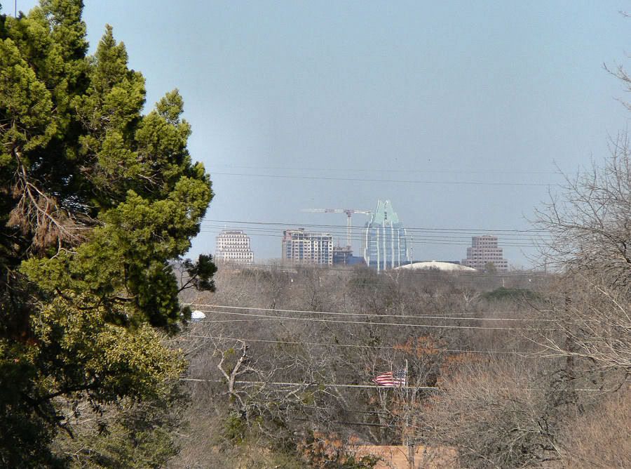
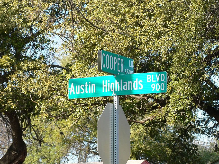
I took this one from Cooper Lane near Austin Highlands Boulevard. I've watched this view get better and better over the years. L2R: One American Center, The Ashton, the very top (angled roof) of 100 Congress with The Austonian behind it, the Frost Bank Tower and One Congress Plaza. The water tank is located near South First Street & Ben White Boulevard. Notice that you can just see The Austonian peeking over the roof of 100 Congress. It'll be more than twice as tall as 100 Congress.
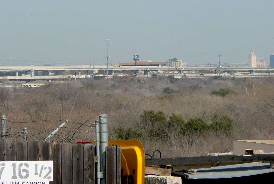
This one and the next 3 are from the William Cannon Bridge over the railroad tracks. L2R: 300 West Sixth, (far left) Chase Bank Tower, One American Center, The Ashton with the Bank of America Center behind it, Frost Bank Tower and One Congress Plaza. You can just see the top of 100 Congress too in front of the Frost Bank Tower. And of course The Austonian's crane.
The Austin Hilton Convention Center Hotel to the right. You can also just barely make out the Four Seasons Residences crane next to it to the left.
Spring and 360. You can also see the Dobie Center with the UT Tower behind it. You can also just barely see the roof of The Monarch in front of the Dobie Center. And you can even see the twin flagpoles of the Wells Fargo Tower about two inches to the right.

Spring, the UT Tower and Dobie Center with 360 to the right. And, the shocker. Notice that directly over the railroad tracks you can see something sticking up above the tree line. That's 21Rio in West Campus.

This one and the next 3 were taken from Manchaca Road. The Ashton, Frost Bank Tower and The Austonian crane. One American Center is there too, low in the trees near the center of the pic.
360 Condos.
Spring, Dobie Center and UT Tower.
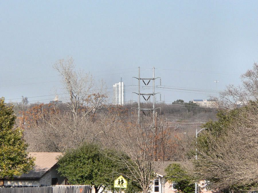
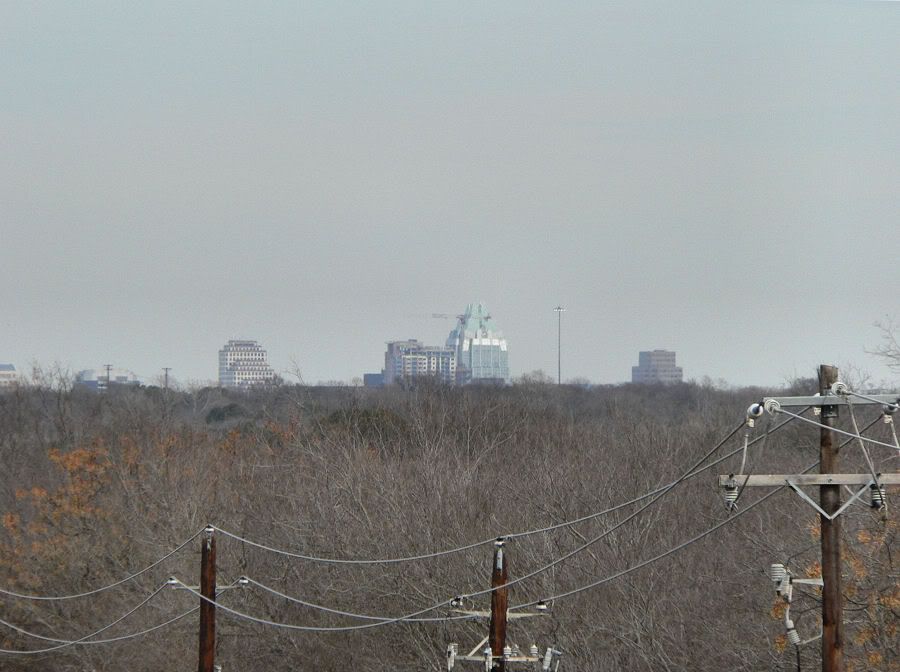
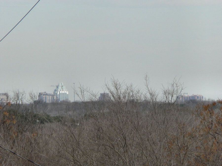
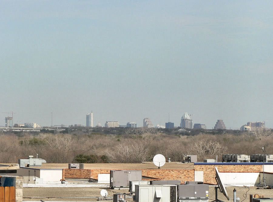
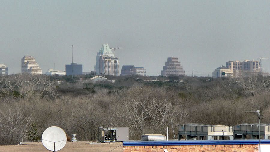
This one and the next 4 were taken from Austin Community College's South Austin Campus. They have a 5-story parking garage there. This is just a quarter mile from my house.
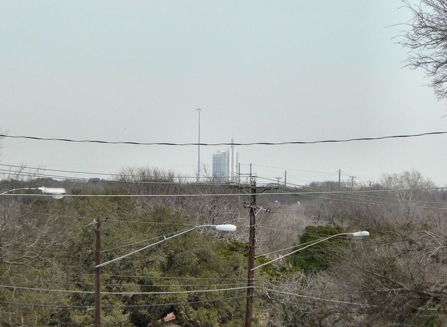
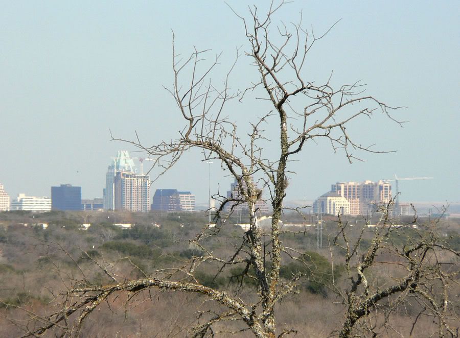
Frost Bank Tower's top with The Austonian's crane. You can see 360 and Palisades West from there too, but they were harder to find and the light wasn't cooperating. You can also see the One American Center's very top to the left.
JDawgboy's grocery store?

This is the very top of the Randall's grocery store at Manchaca Road & Ben White Blvd.

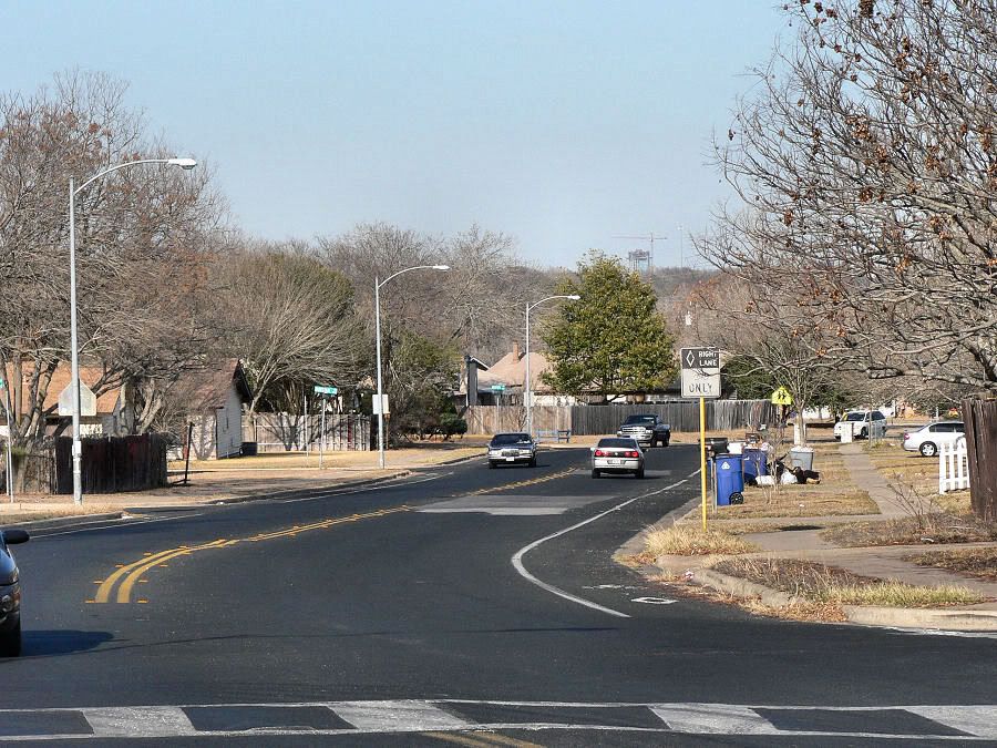
Looking southwest over Manchaca Road.
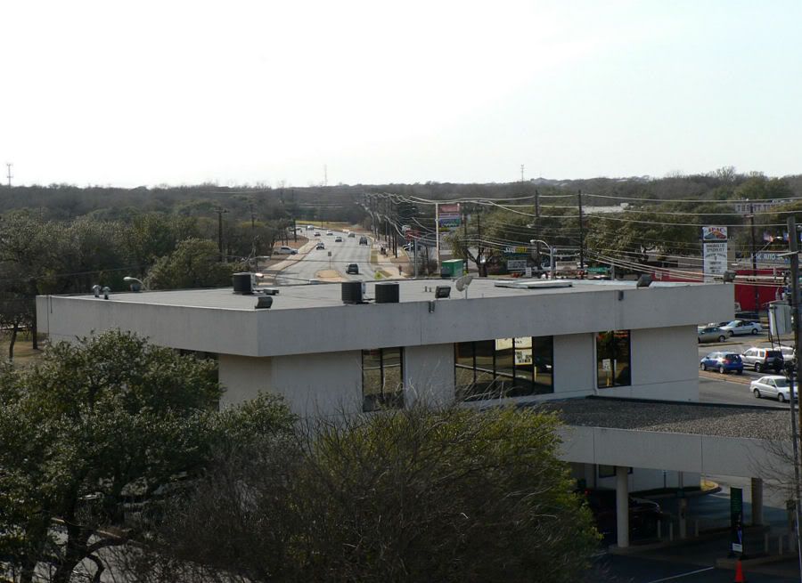
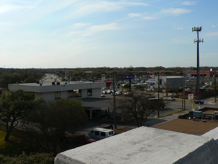
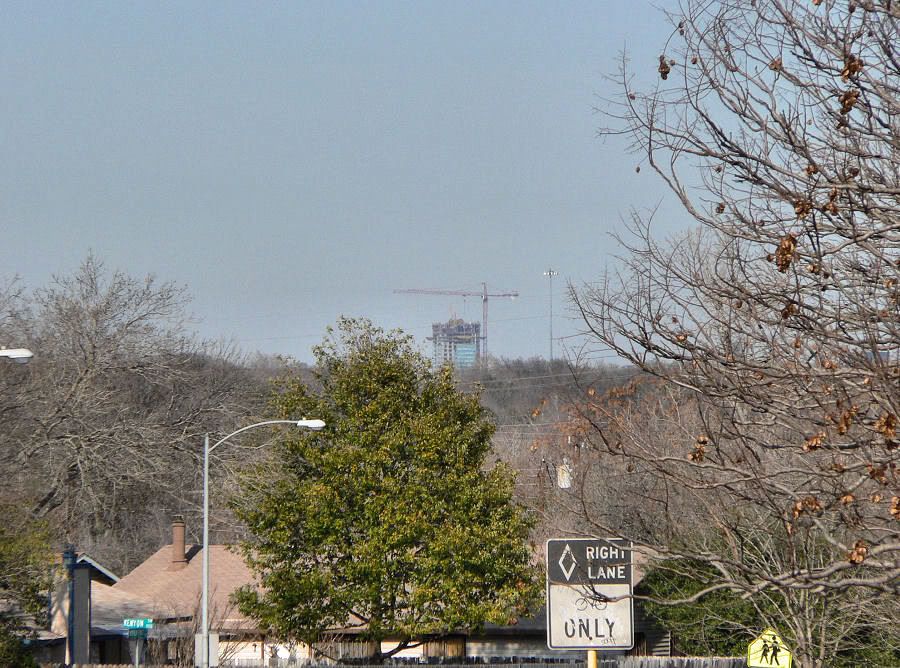
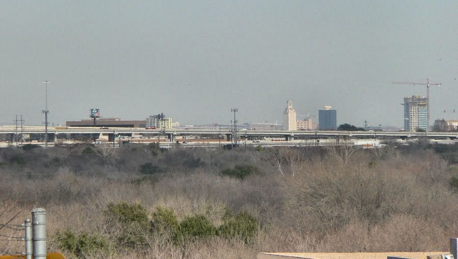
This photo and the next 5 were taken near a new retail building that finished construction last year on William Cannon Drive near Deaton Hill Lane.
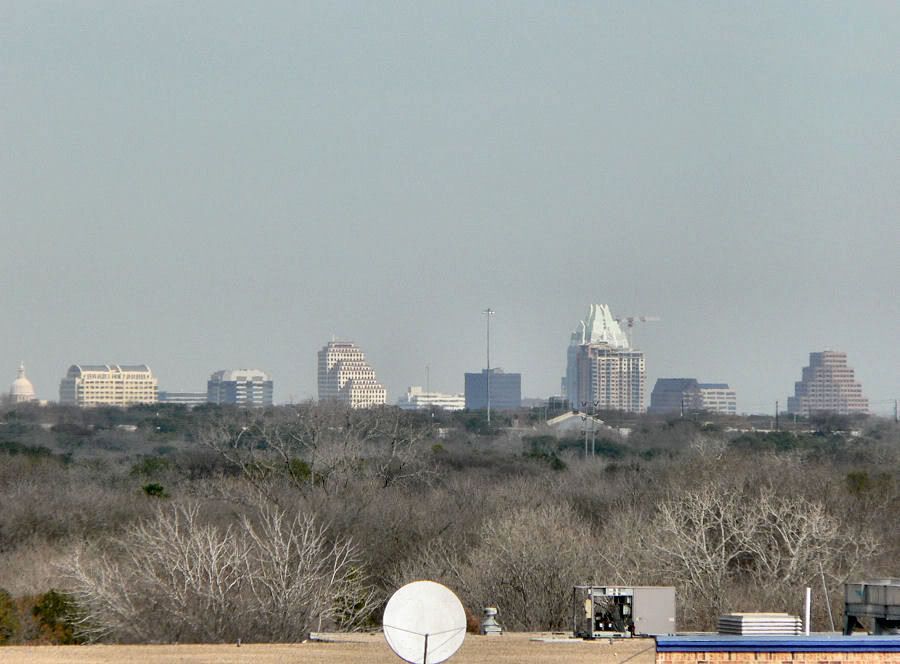
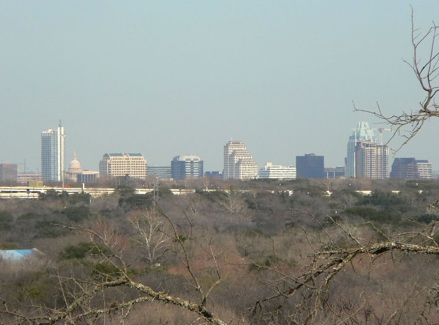
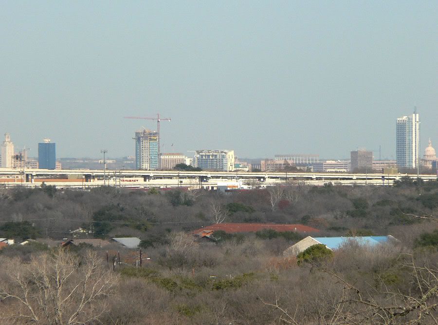
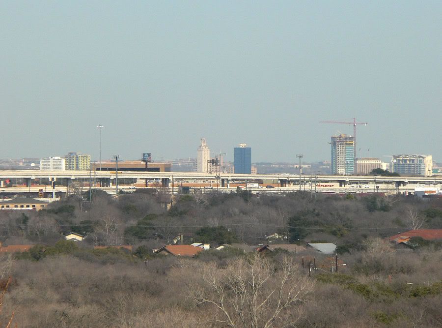
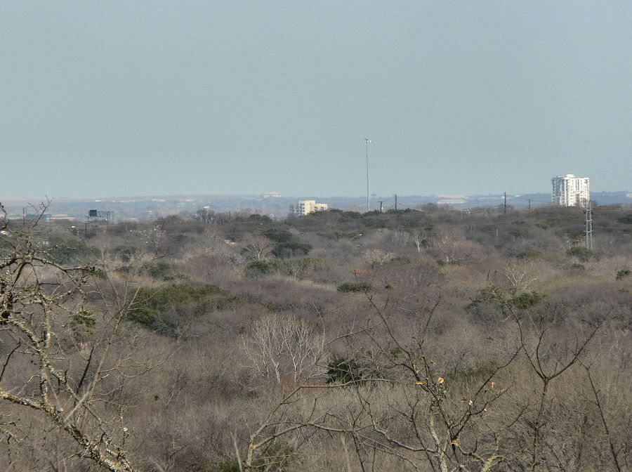
The rest of the photos were taken from a hill on Deaton Hill Lane. The street overlooks the city then quickly drops back down. It's one of the best views in the area. They just got finished building a new 3-story condo project there. It was surprising how much and how far I could see from up there.
Lots of buildings. Even the Capitol. Thanks to the Capitol, it's amazing to think that there's been a skyline view here for just over 120 years.
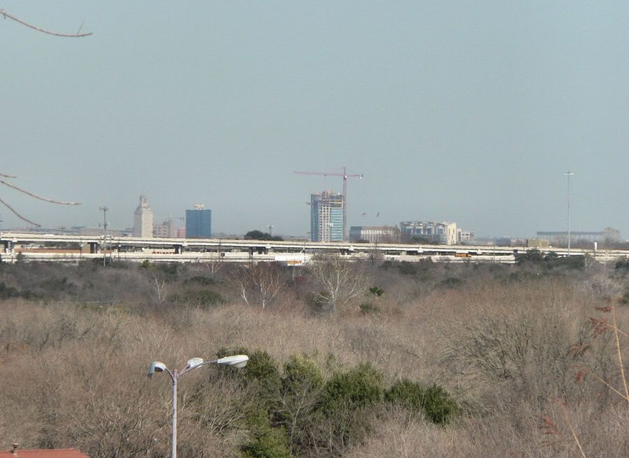
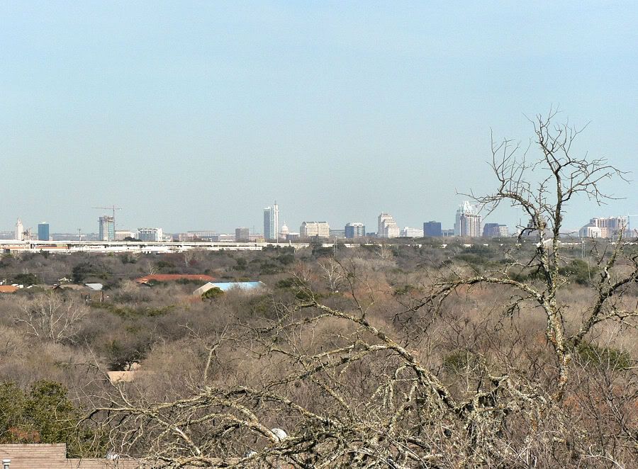
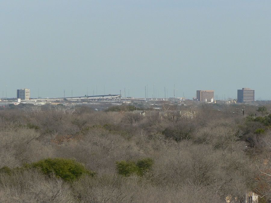
Western edge of downtown. The freeway overpass is Ben White Boulevard/Texas 71. You can even see the Texas Memorial Stadium on the UT Campus.
UT Tower and Dobie Center with Spring and The Monarch.
West Campus neighborhood to the left with 21Rio putting on the facade. That one midrise way in the background is actually in North Austin about 10 miles away from where I was.
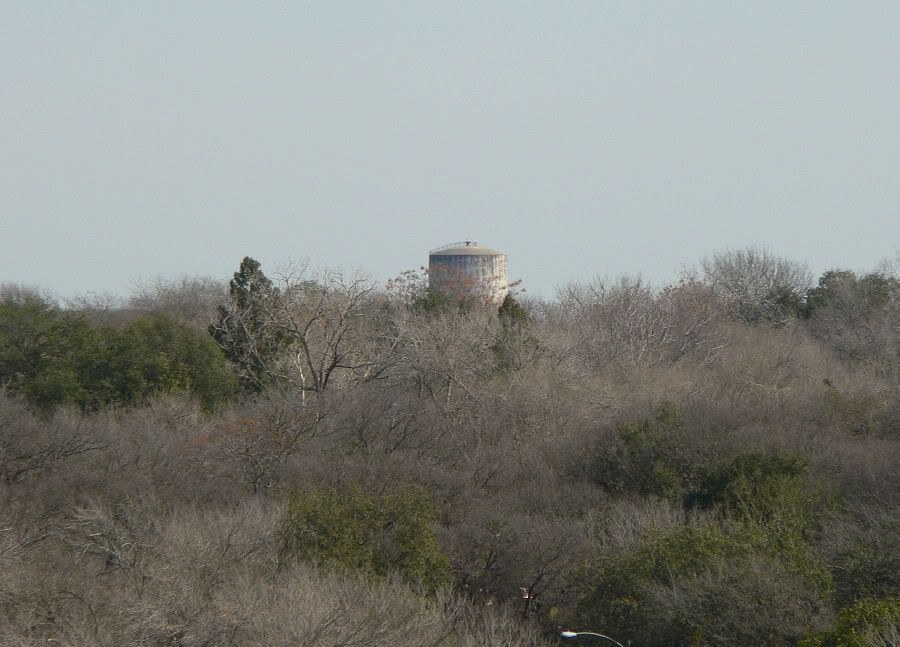
Ye olde water tower. A fixture of my neighborhood. I can see the beacon from my driveway.

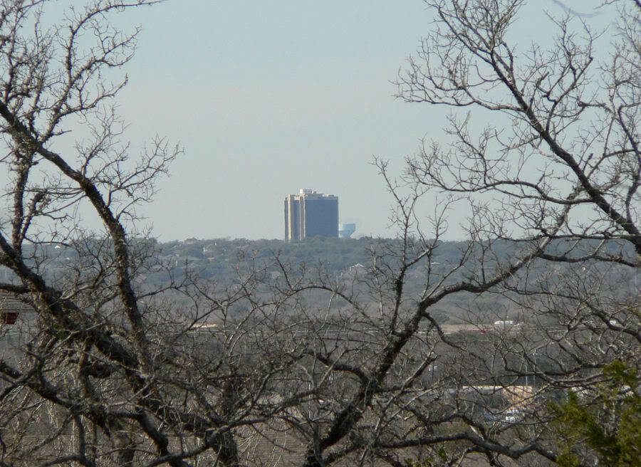
Four Seasons poking up to the right (with crane). The building should be about level with its crane once it's finished.
The Shore and Legacy on the Lake. Also note the roof of the Hilton Garden Inn to the far left just above the treeline. You can also see the gentle rise on the horizon of the US 290 landfill in Northeast Austin. The water tank to the right is the one on 290 near the landfill.
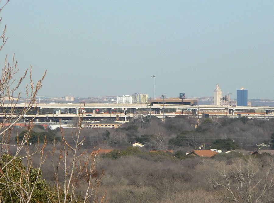
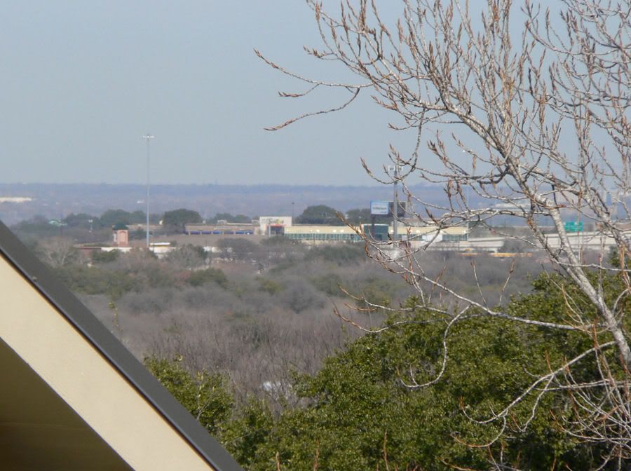
Highrises at I-35 & Ben White/Texas 71. You can also see the massive highway flyovers. The tallest one is 120 feet tall.
ACC Pinnacle Campus in Southwest Austin.
Palisades West office building in West Austin.

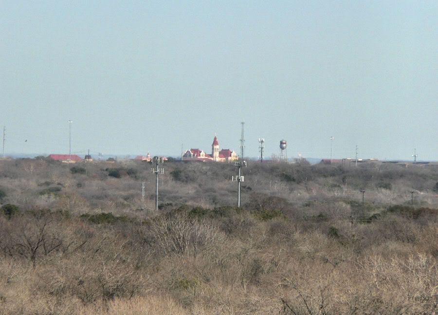
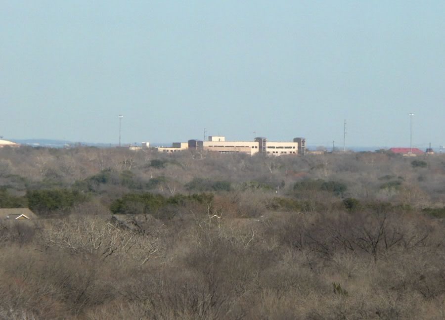
Saint Edward's University in South Austin.
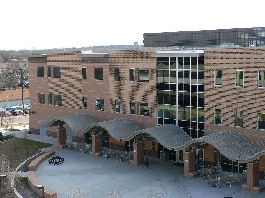
South Austin Hospital.
Toys 'R' Us on Loop 360 & Lamar Boulevard in Southwest Austin.
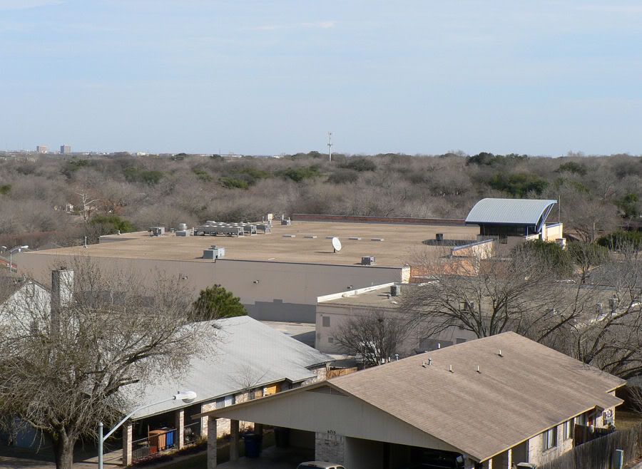
Overlooking the former Albertsons grocery store at West Gate Boulevard & William Cannon Drive just down the hill.
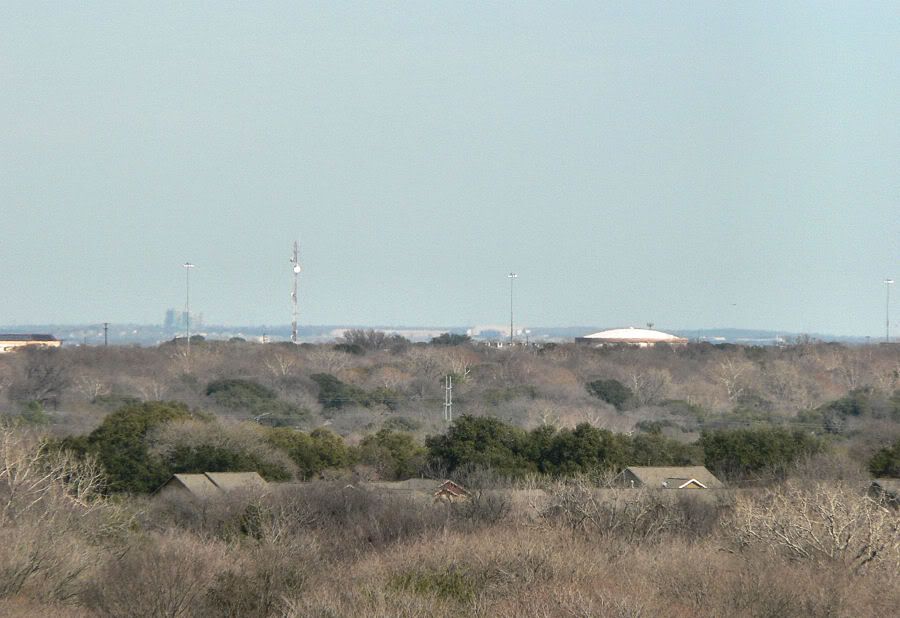
The Decker Lake Power Station in East Austin on the horizon. The communication tower in the foreground and water tank are near South First Street & Ben White Boulevard in South Austin.
In case you like what you've seen.
~ Thanks for looking.


 Linear Mode
