Quote:
Originally Posted by HossC

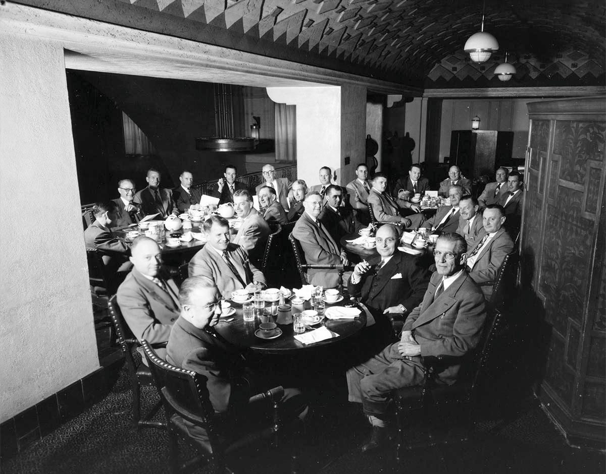
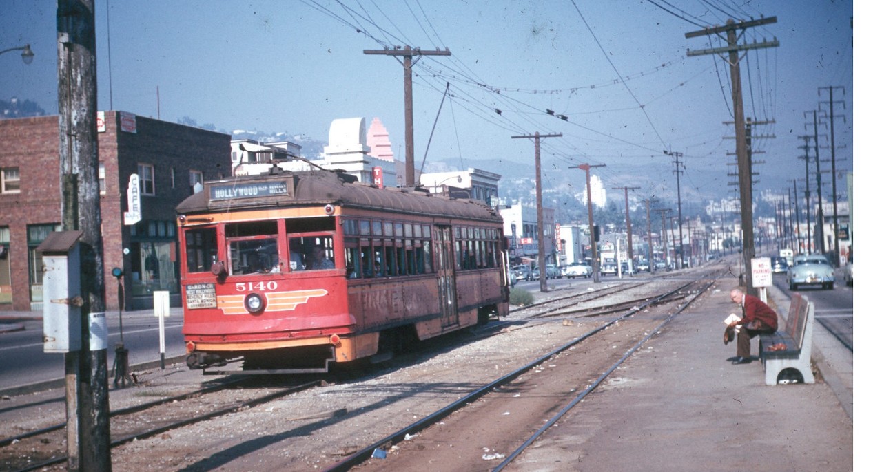
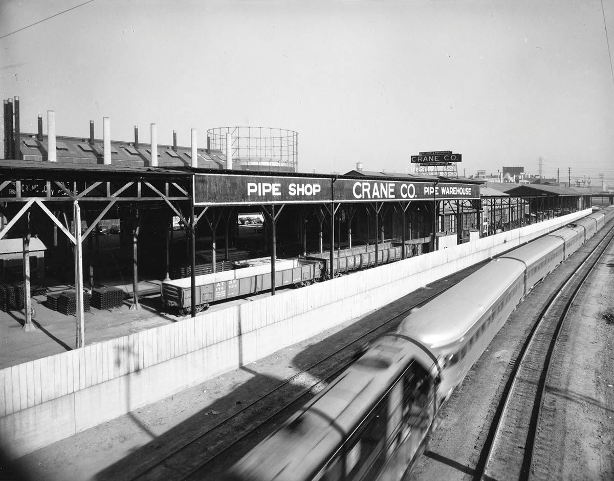
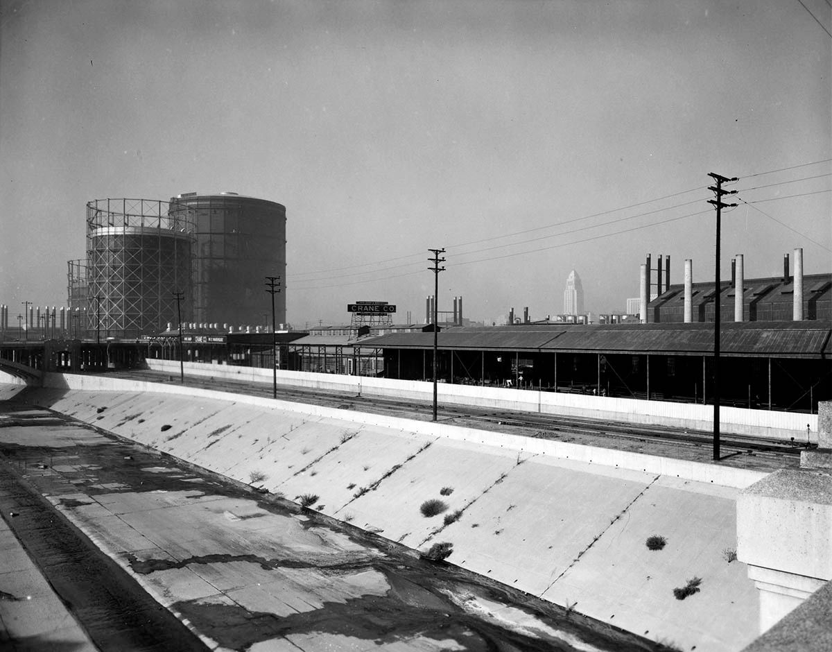
I'm afraid there's no mystery about today's Julius Shulman location, although there aren't any clues in the first picture. This is "Job 867: Crane Company, breakfast meeting, pipe warehouse,1950". I wonder what colors were used to paint that beautiful ceiling.
 |
 Hoss
Hoss, this interior is so intriguing.
You say there's no mystery (then you mention no clues), and the title makes it sound like it was taken at the warehouse....but surely this isn't the warehouse, right?
I really want to find out where this was taken.
I thought there might be a clue on the table, like a logo on the china or water pitchers. (I found nothing)
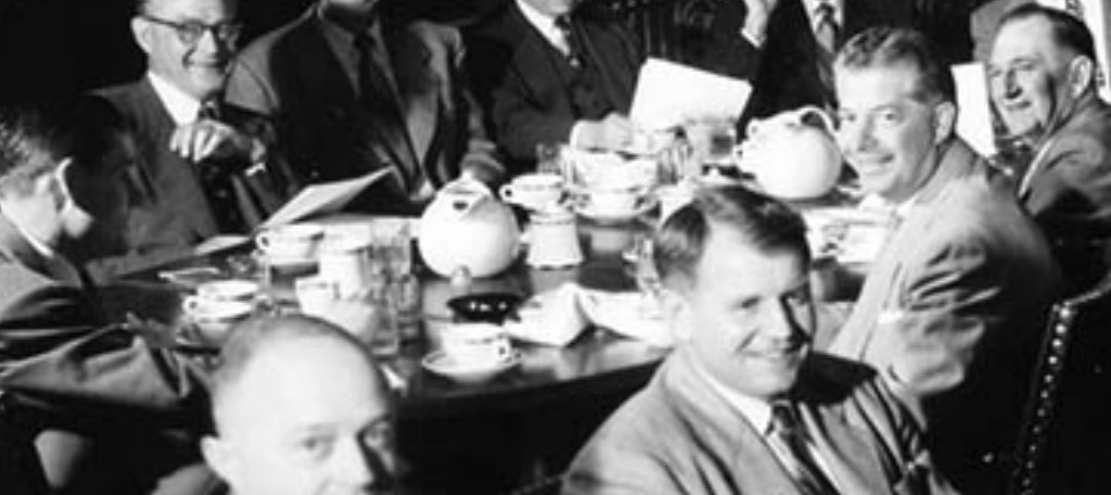
detail
Here's a look into the larger darkened room beyond the executives (lightened a bit)
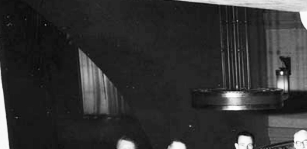
detail
and a closer look at the ceiling and lights.
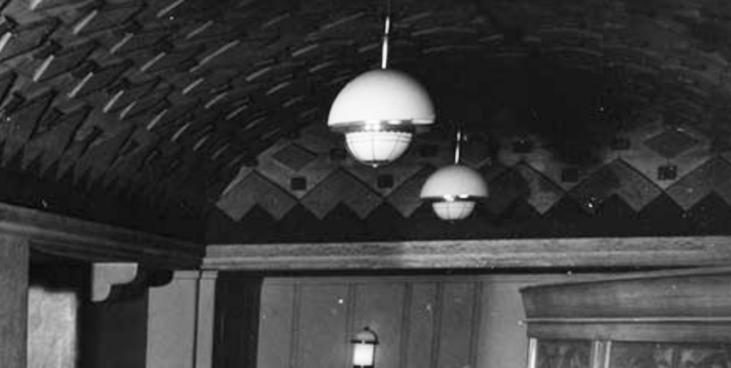
detail
Was this an 'executive room', like a 'rathskeller' built within the warehouse, or a restaurant somewhere close to downtown?


 Prev
Prev


 GSV
GSV


 Linear Mode
