I had nothing to do yesterday, so I grabbed my camera and wandered the neighborhood. I live in Dupont Circle, one of DC's central neighborhoods, immediately northwest of downtown. If you're interested,
here's a map of my walking route.
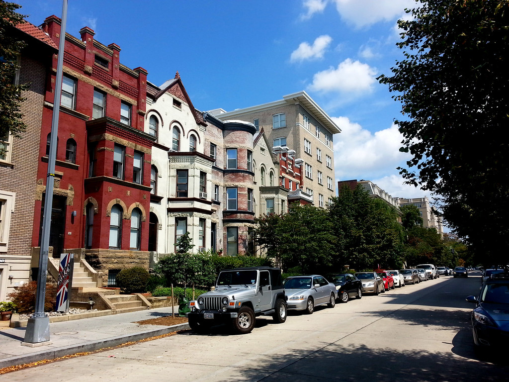
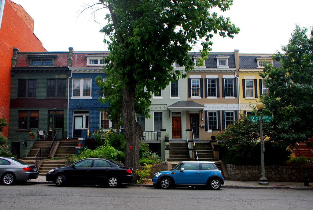
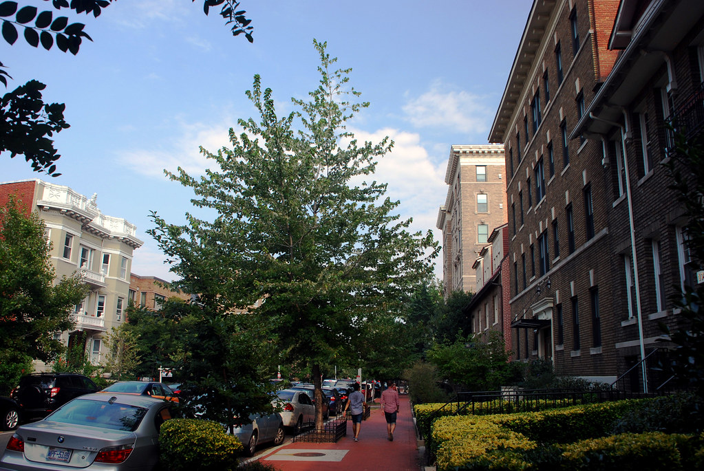
I'll give you a running commentary for each picture. Obviously I started at home. Here's my block, R Street, Northwest.
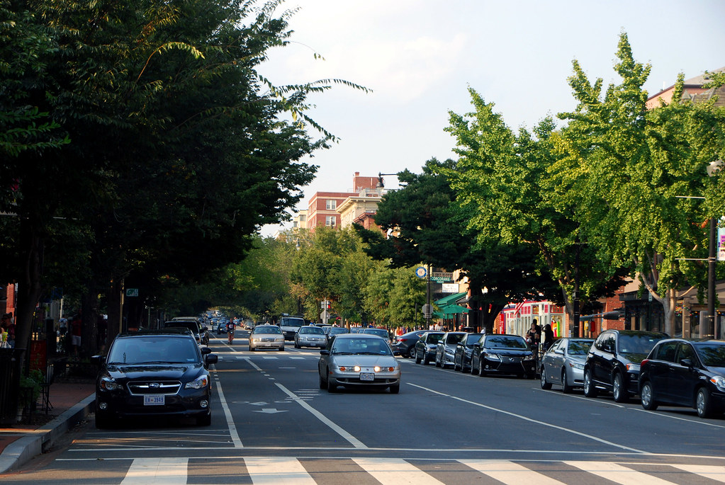
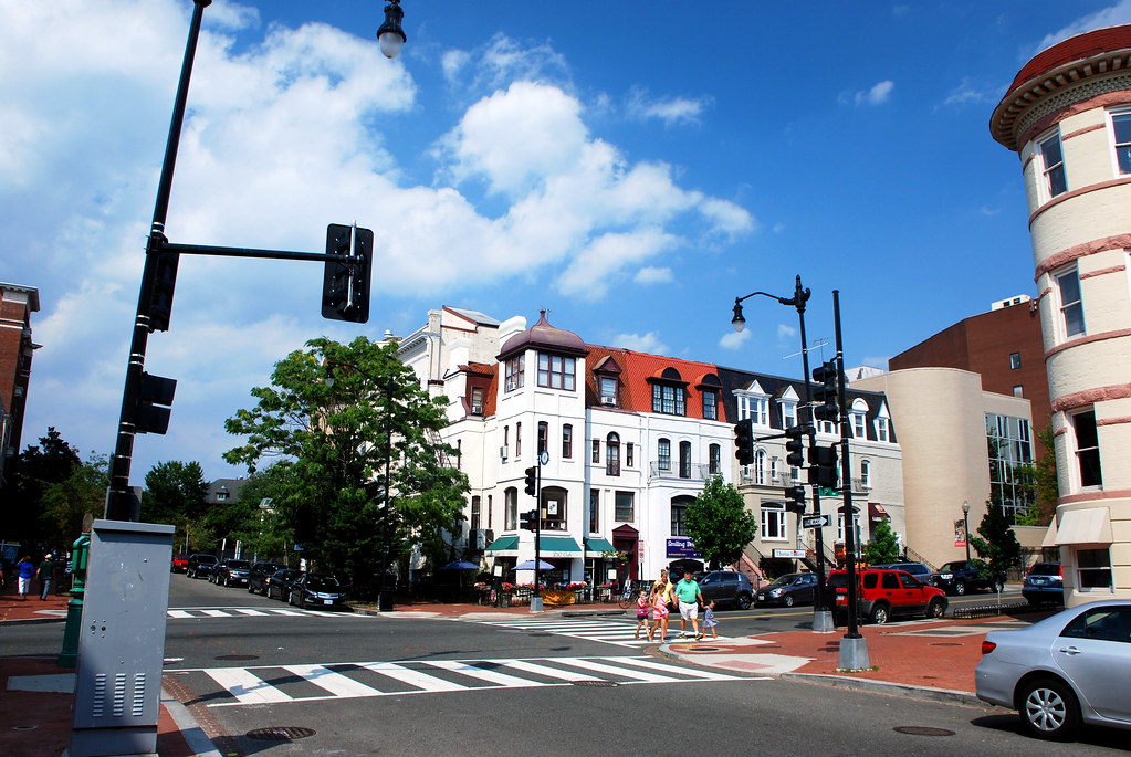
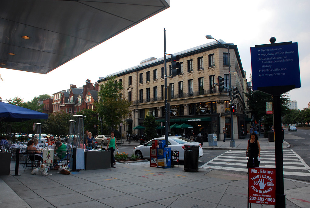
The first thing I did was head down 17th Street, my local main street.
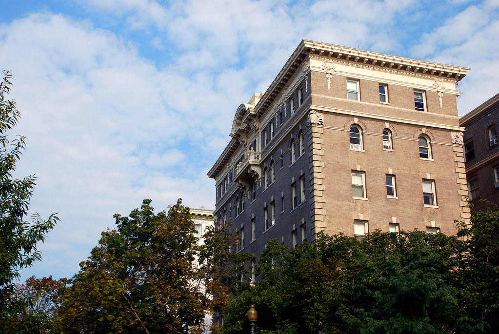
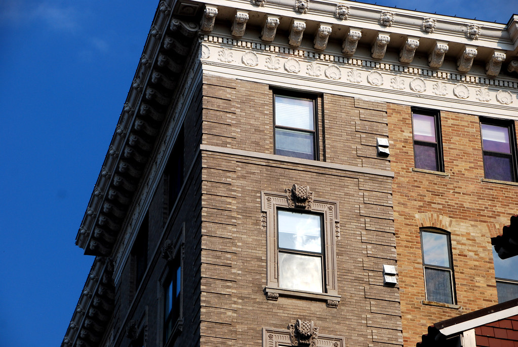
The tall building you see here is The Cairo, and is locally famous as the building that inspired DC's height limit. When it was built in 189x it freaked the NIMBYs out, and now we have a height limit. The building is well above what would be allowed now.
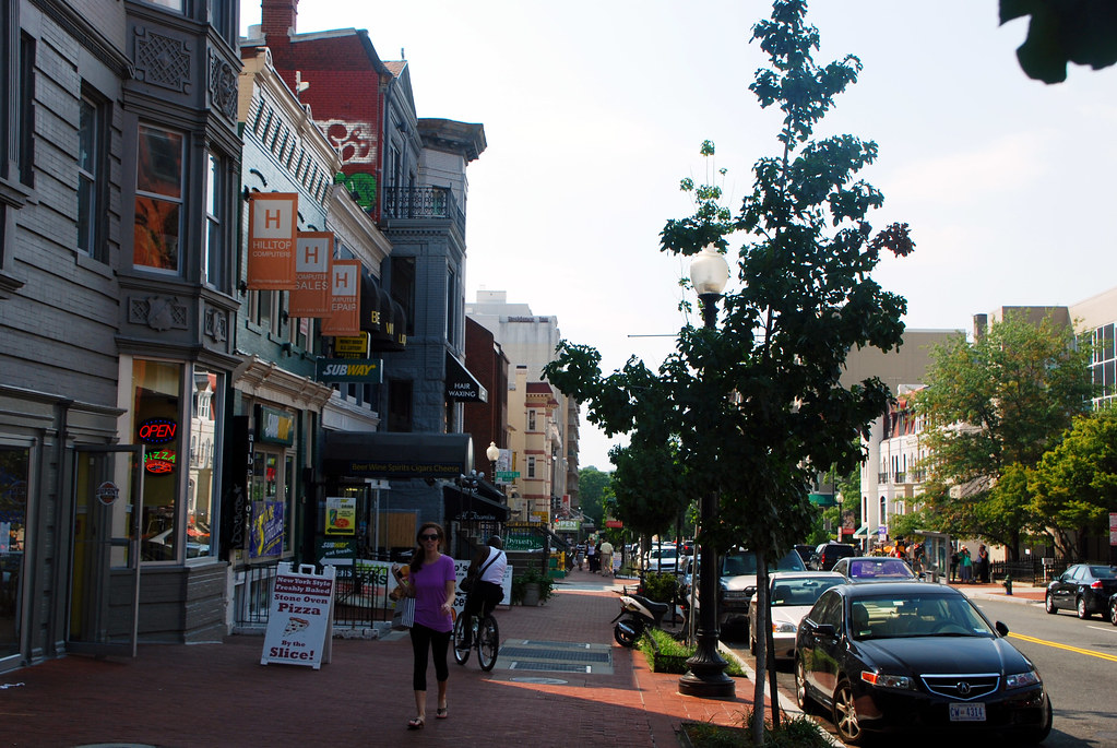
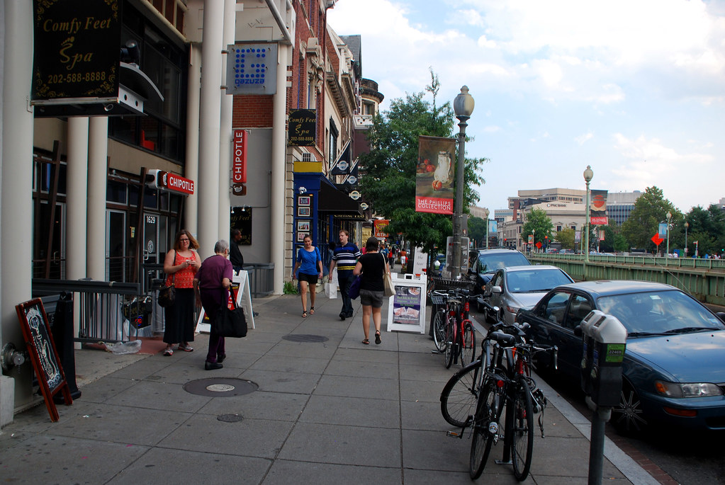
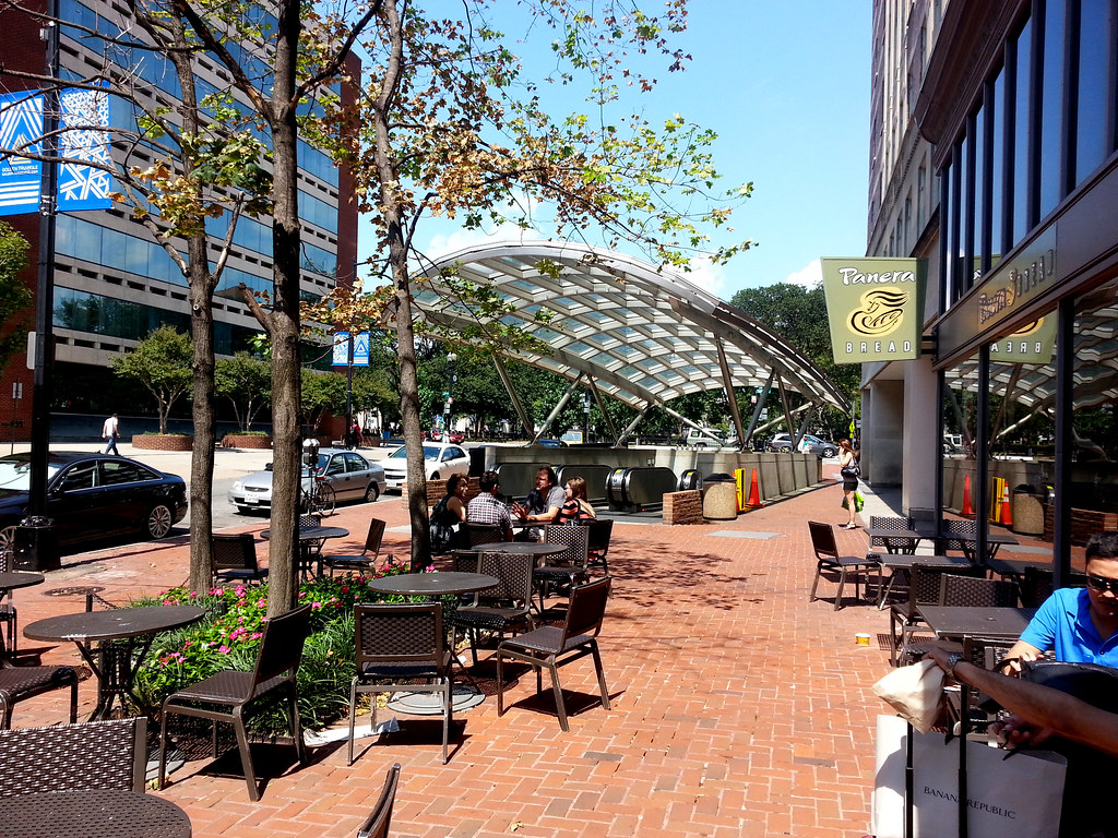
17th Street is a mix of hyper-local service retail...
... sidewalk cafes...
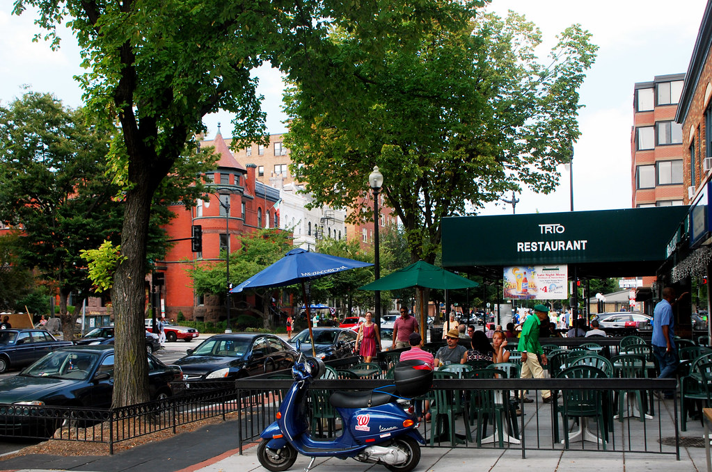
... and gay bars. 17th Street is the heart of DC's gayborhood. I'm not gay, but I appreciate that the gays have great taste in neighborhoods.
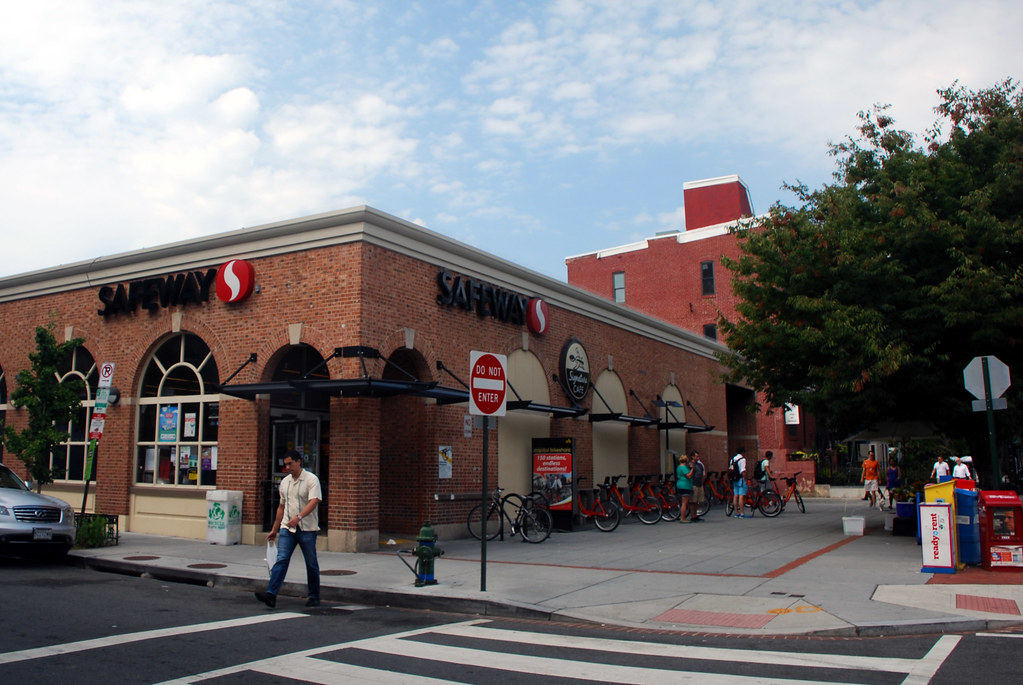
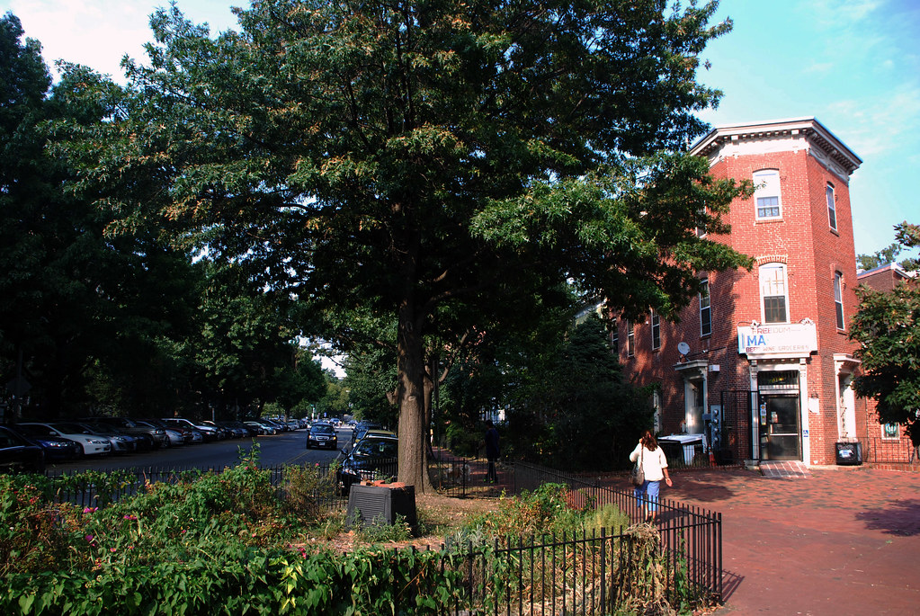
This is my local grocery store. All the Safeways in DC have alliterative nicknames. For example, there's the (human) meat market "Social Safeway" near Georgetown University, and the hidden-in-a-basement "Secret Safeway." This one is called the "Soviet Safeway" because the lines are always long and shelves are always bare.
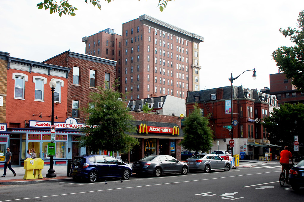
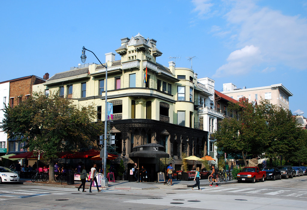
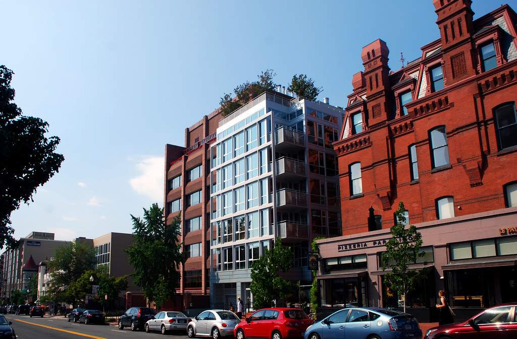
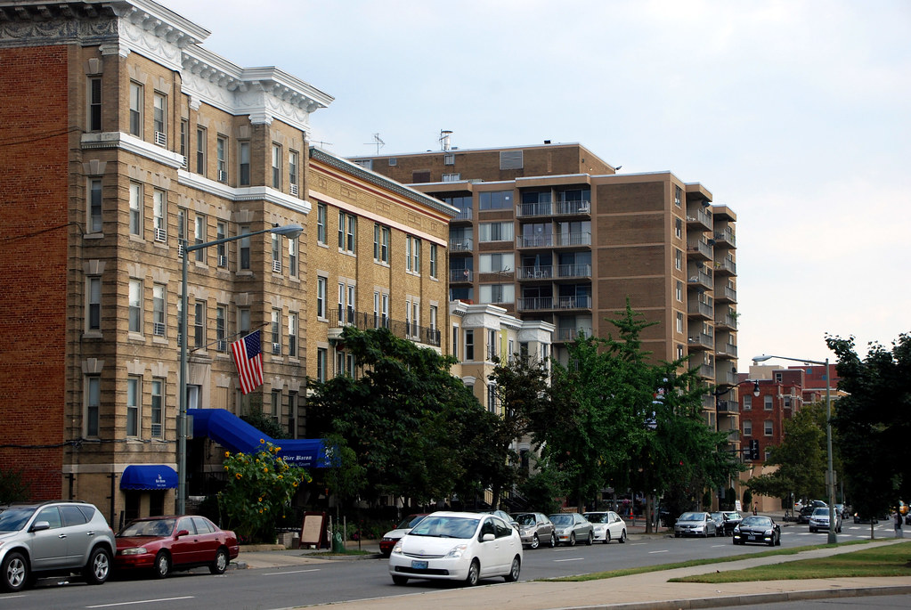
A lot of the buildings look like they used to be rowhouses. No idea if they were once residential or always commercial.
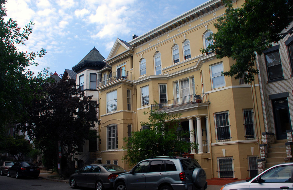
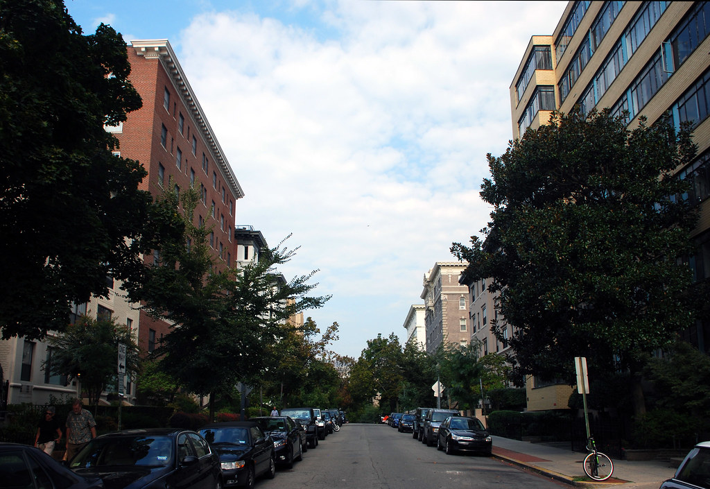
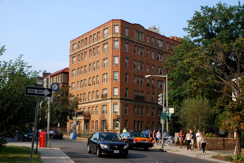
Perpendicular streets are mostly residential, with apartment buildings and rowhouses. Most of the rowhouses in this part of town have been converted to apartments.
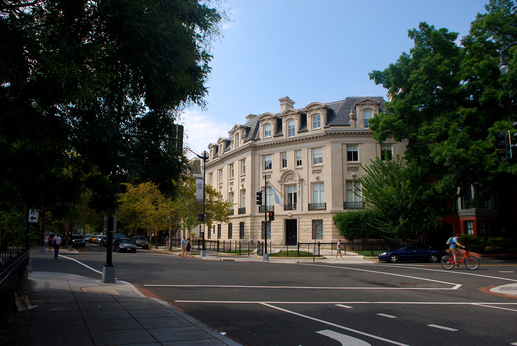
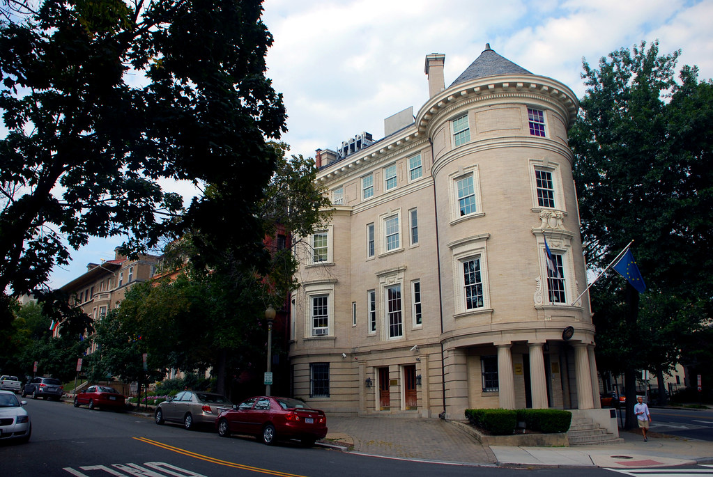
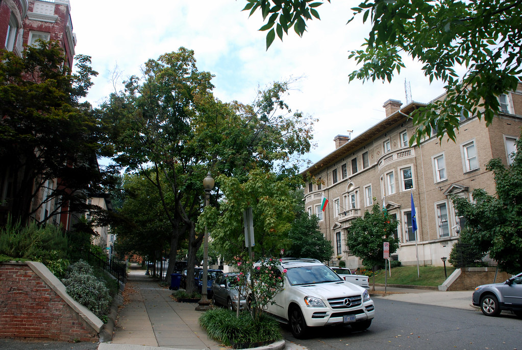
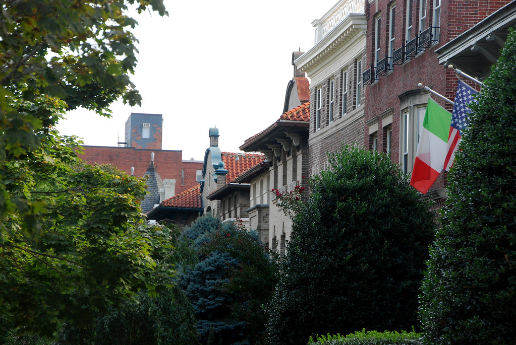
Foreign embassies are also mixed in, especially on New Hampshire Avenue. This is Argentina. Keep your eyes peeled for foreign flags all throughout this thread; if you see one, it's an embassy.
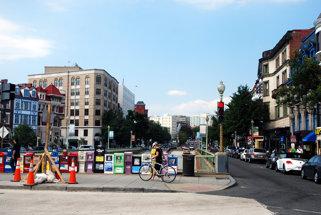
On P Street I headed west, towards Rock Creek Park. P Street is one of the few east-west commercial streets in this part of DC. Most run north-south. U Street is the bigger and more famous one, but that's not in this thread.
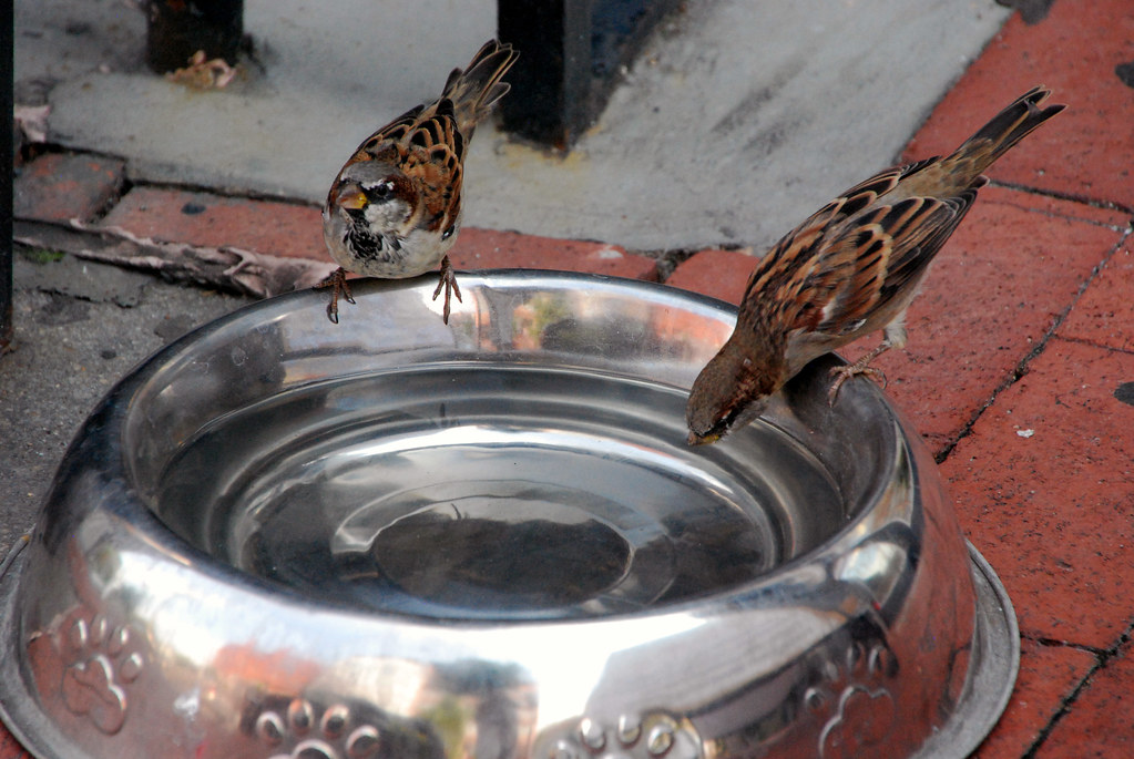
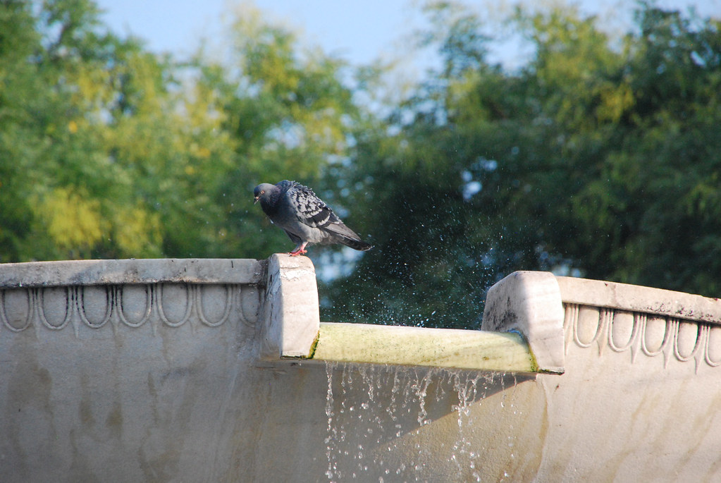
I'm a sucker for birds. Can't help it. Here are a couple of adorable sparrows stealing a drink from a dog dish on the sidewalk.
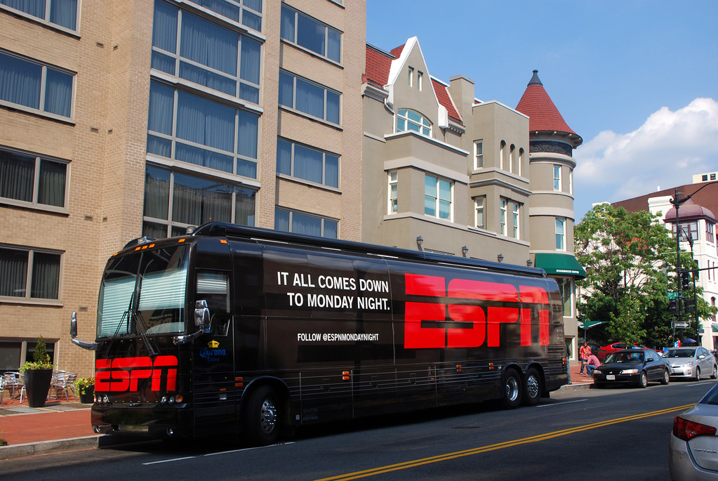
This was in front of a hotel on P Street. The Redskins are on Monday Night Football today, so I'm assume this is the TV crew for that.
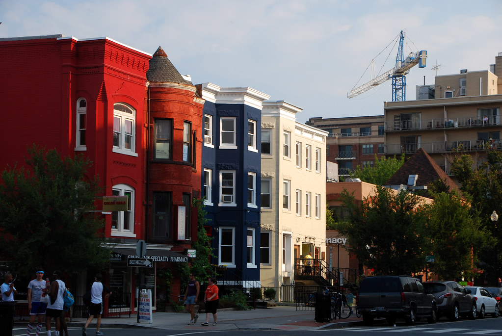
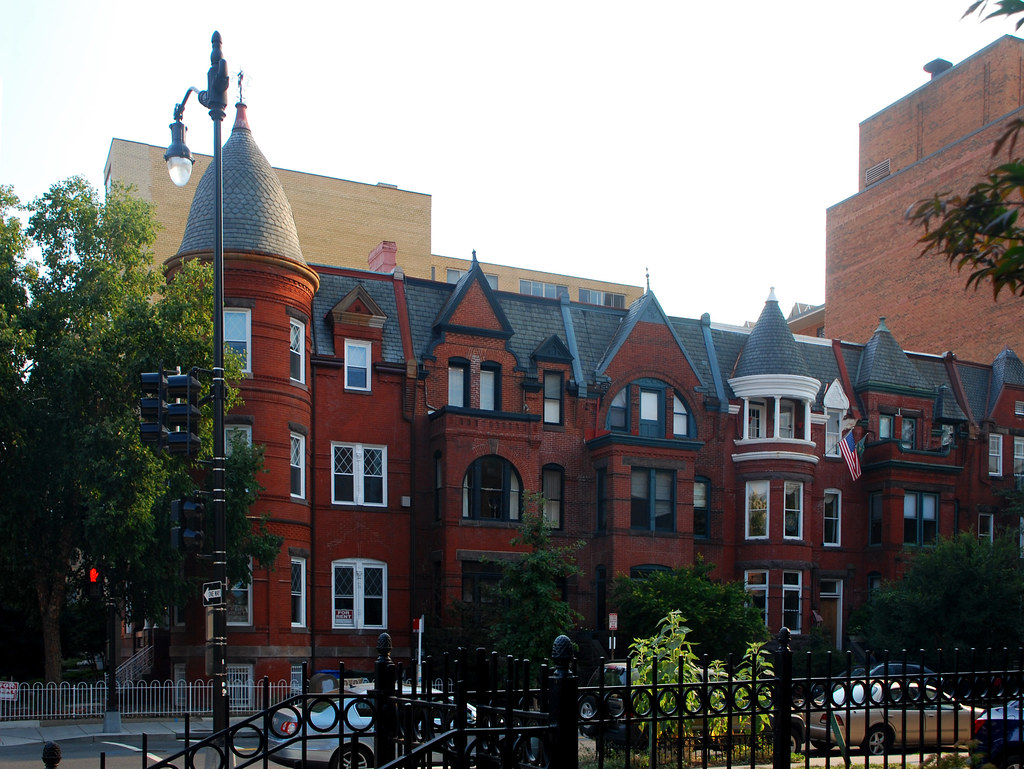
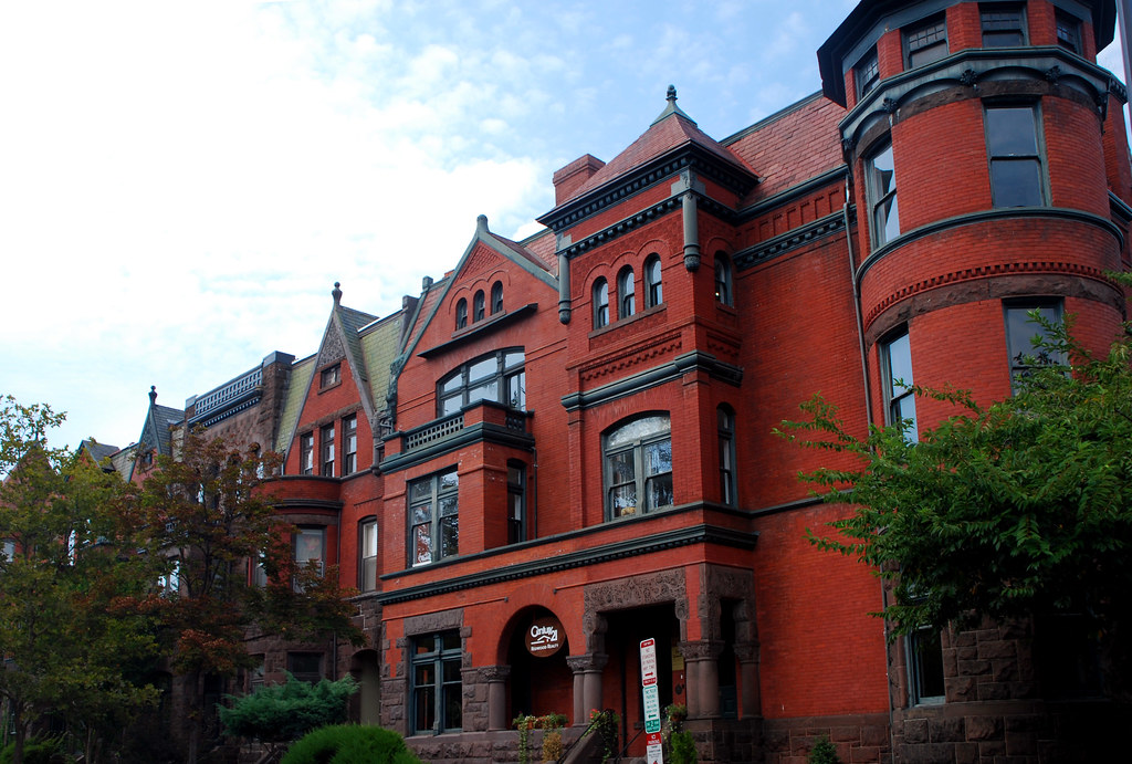
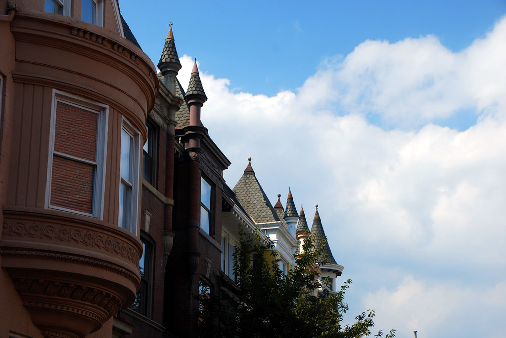
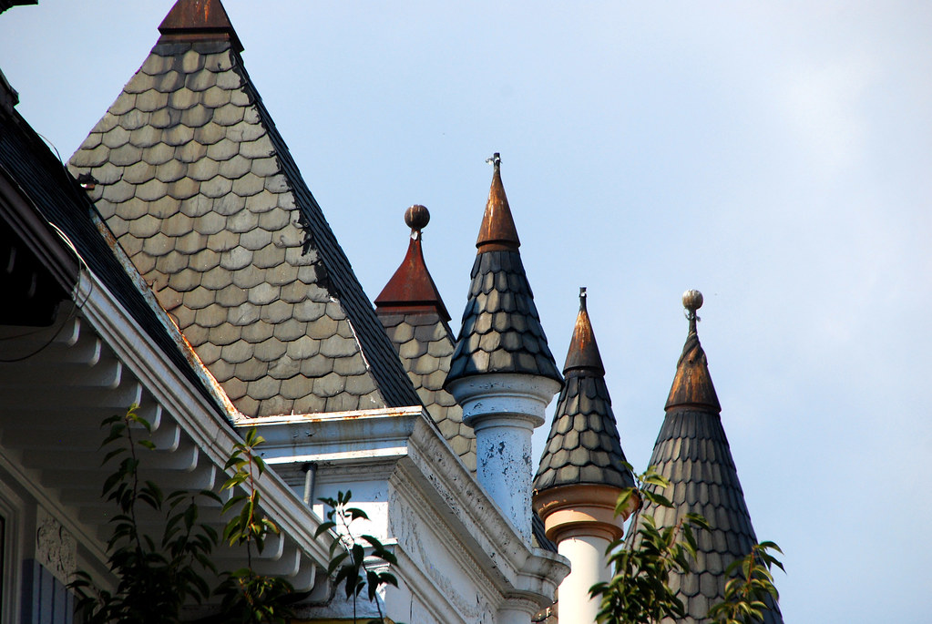
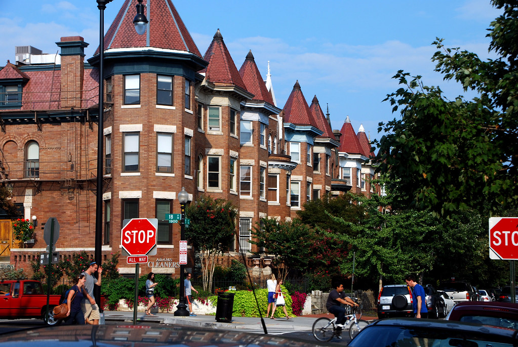
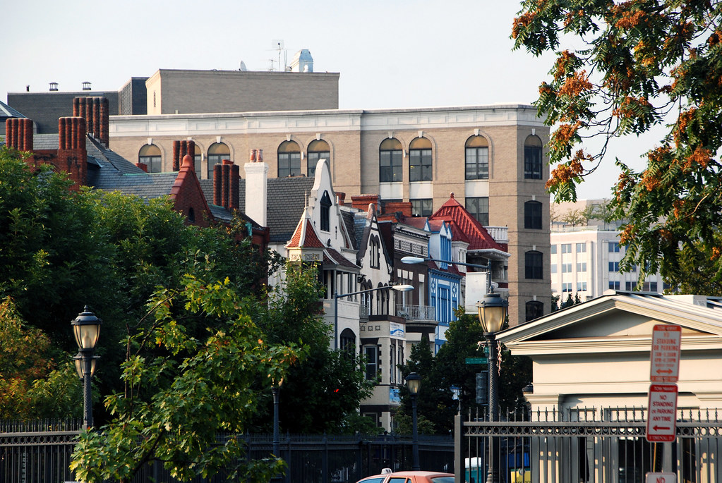
One of the things I love about DC is its rowhouse architecture.
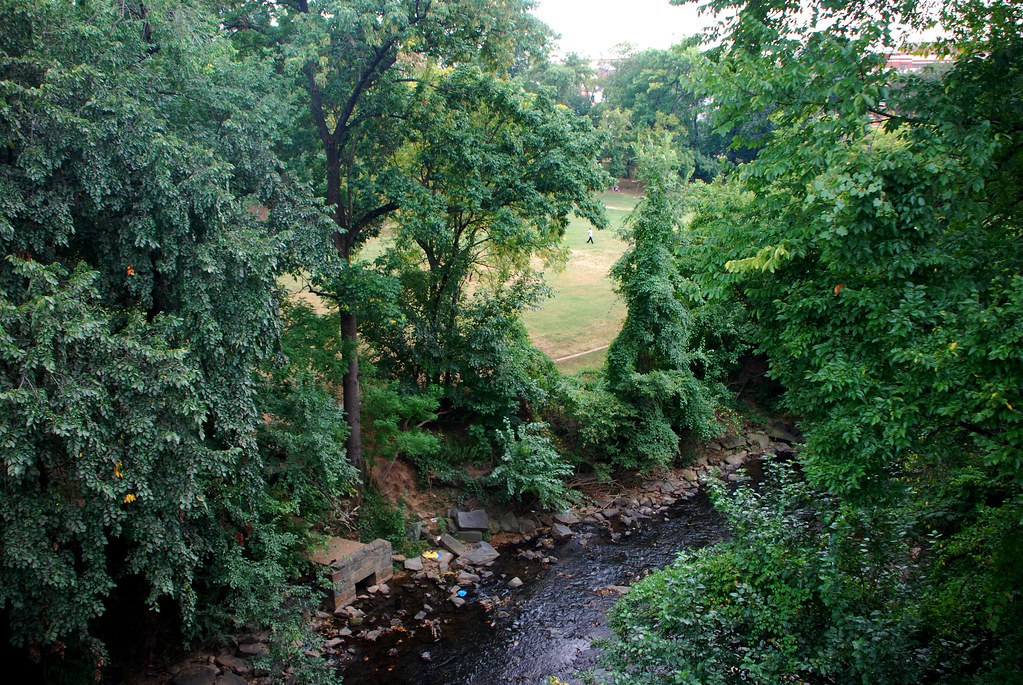
Rock Creek Park, DC's large wooded park akin to NY's Central Park or Vancouver's Stanley Park, begins just west of 23rd Street. The park follows the course of Rock Creek. Here, between central DC and Georgetown, the park is narrow, really only about 1 block wide, following the path of the creek. To the north of here it widens considerably.
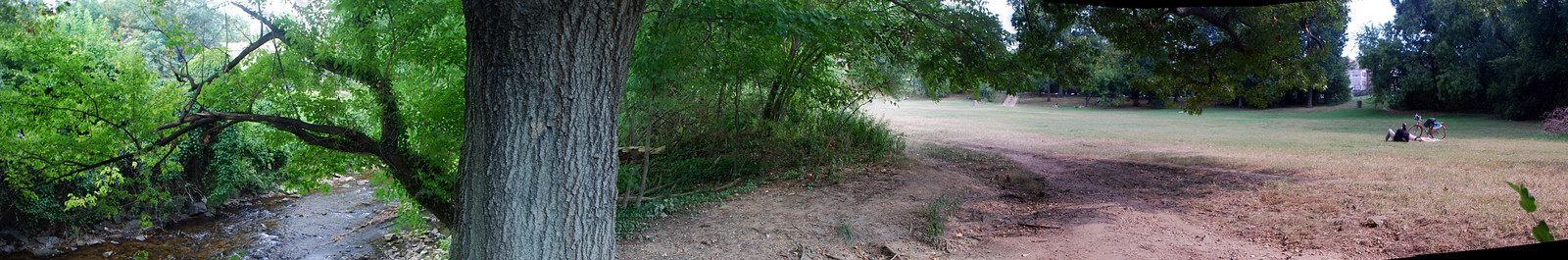
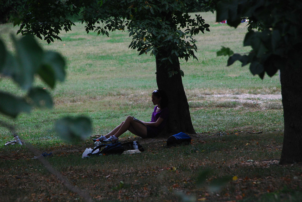
Where P Street meets the creek there's a large lawn, colloquially called P Street Beach. There's no real beach here, it's just a creek and a lawn, but that's what people call it.
In past decades P Street Beach was famous as a gay hideaway. When it wasn't safe to be out in the open, couples would find a secluced spot here and do their thing. That use has fallen off now that gay clubs can operate openly and without harassment.
 Link to full size pano
Now most of the people at P Street Beach are just going on walks, playing ball, or reading.
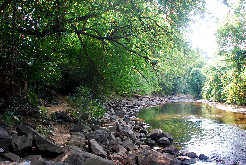
This is Rock Creek itself. I guess that's kind of a beach. There's some sandish-like dirt, anyway.
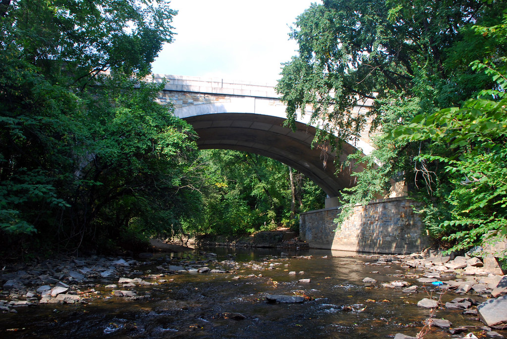
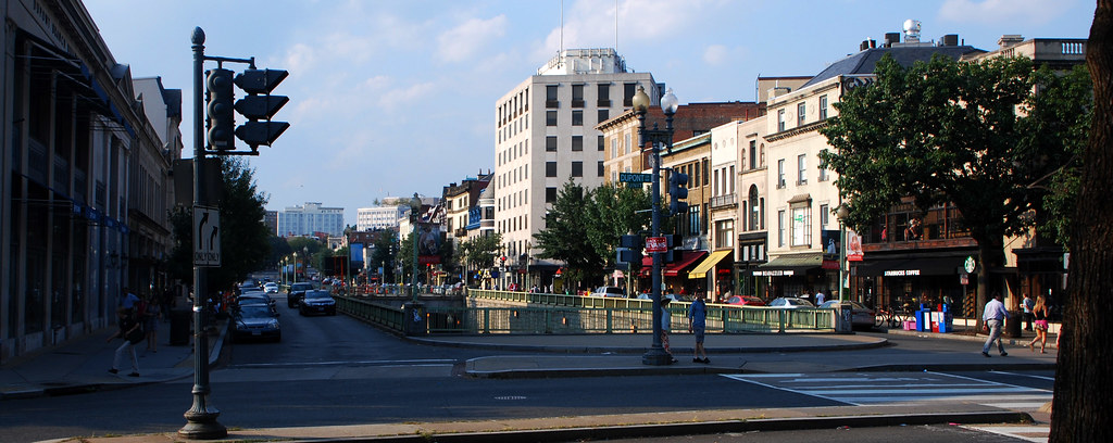
P Street bridge, leading from Dupont to Georgetown.
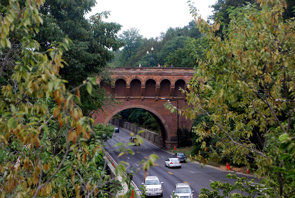
... And one block up, Q Street bridge, doing the same thing. The road is Rock Creek Parkway.
Georgetown is a different neighborhood, so instead of staying on the path west , I turned north. Here the neighborhood gets wealthier and less dense. More of the houses are mansions instead of rows, and most of those that are rows are occupied by single-families instead of being split into apartments. Bigger apartment buildings are still mixed in, but there are a lot fewer of them.
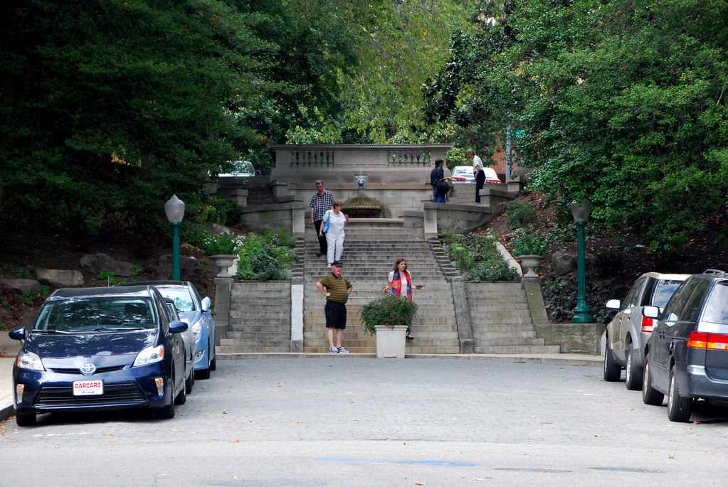
A few blocks up 22nd Street the street becomes steep, and is pedestrianized with steps.
At California Avenue I turned back east. For some reason California is all apartments.
No DC thread would be complete without a picture of a statue of a guy on a horse.

This statue is George McClellan, a marginally-competent Union general during the Civil War. He was so paranoid of defeat that he refused to press advantages. Although he won the famous Battle of Antietam in 1862 (still the bloodiest single day in American military history), he failed to do much else. Eventually he was stripped of command. In 1864 he ran for president opposite Lincoln, but obviously lost.
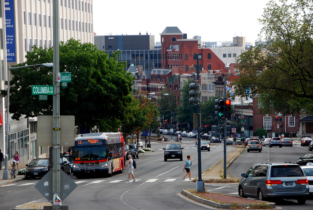
The statue is where California Avenue meets Connecticut Avenue. Connecticut is one the largest streets in the city, and is the main commercial hub of Dupont. There will be more Connecticut pictures later in the thread, but here's looking south from the foot of McClellan's statue.
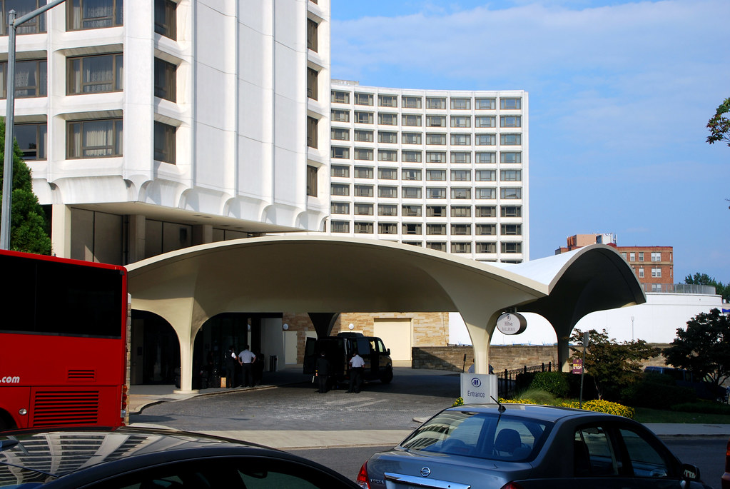
Immediately to the east is the Hilton Hotel, known locally as the Hinckley Hilton, because this driveway is the exact spot where
John Hinckley shot Ronald Reagan.
Plugging along east, I headed back towards my end of the neighborhood.

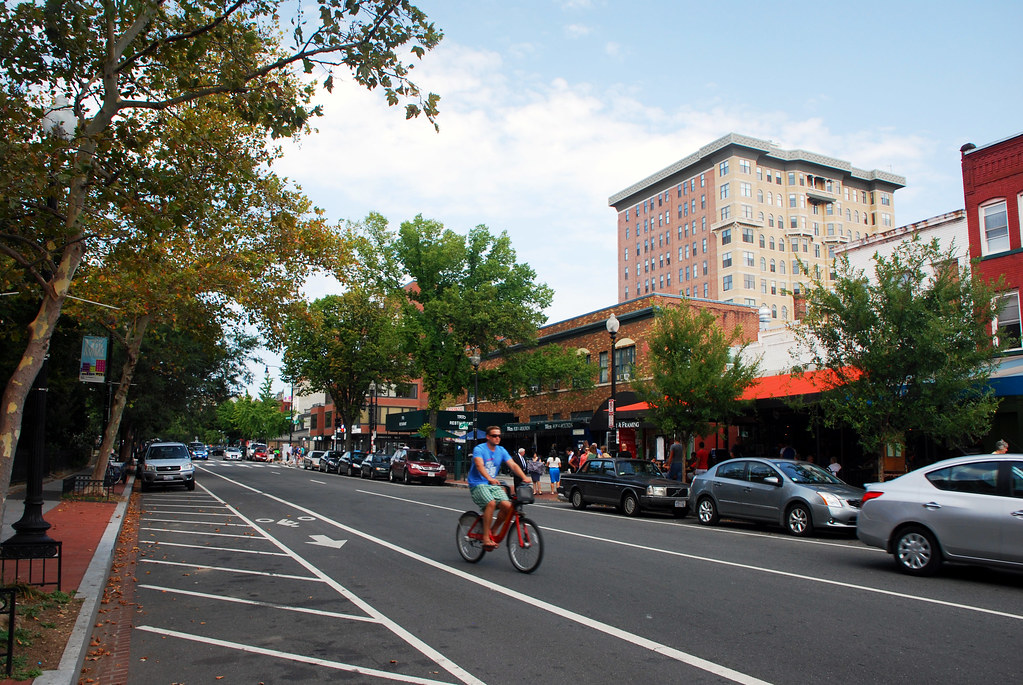
But shortly I decided to head back to Connecticut Avenue and get some pictures of main street.
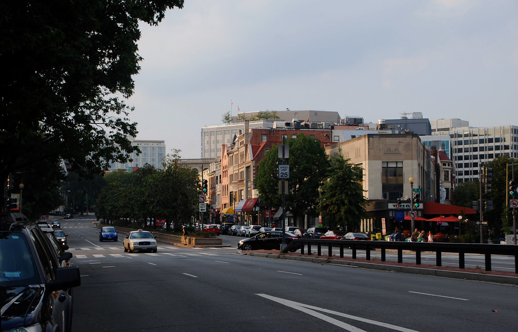
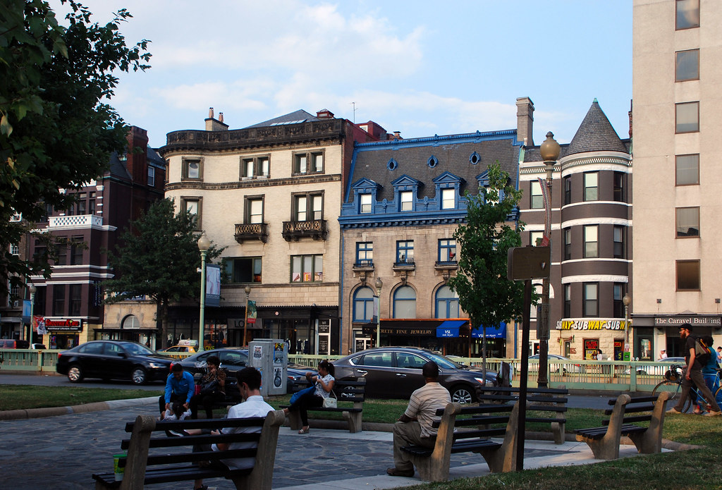
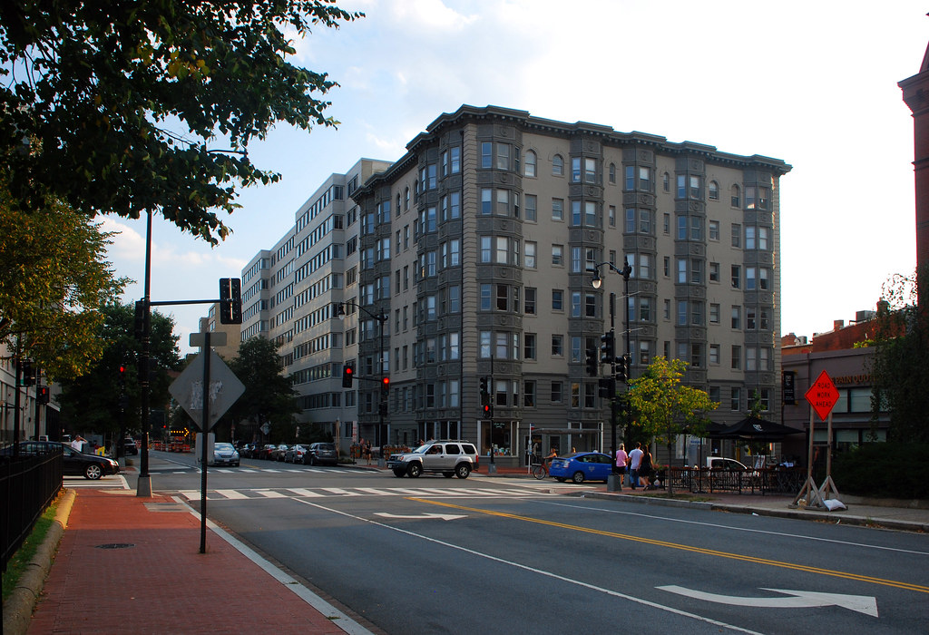
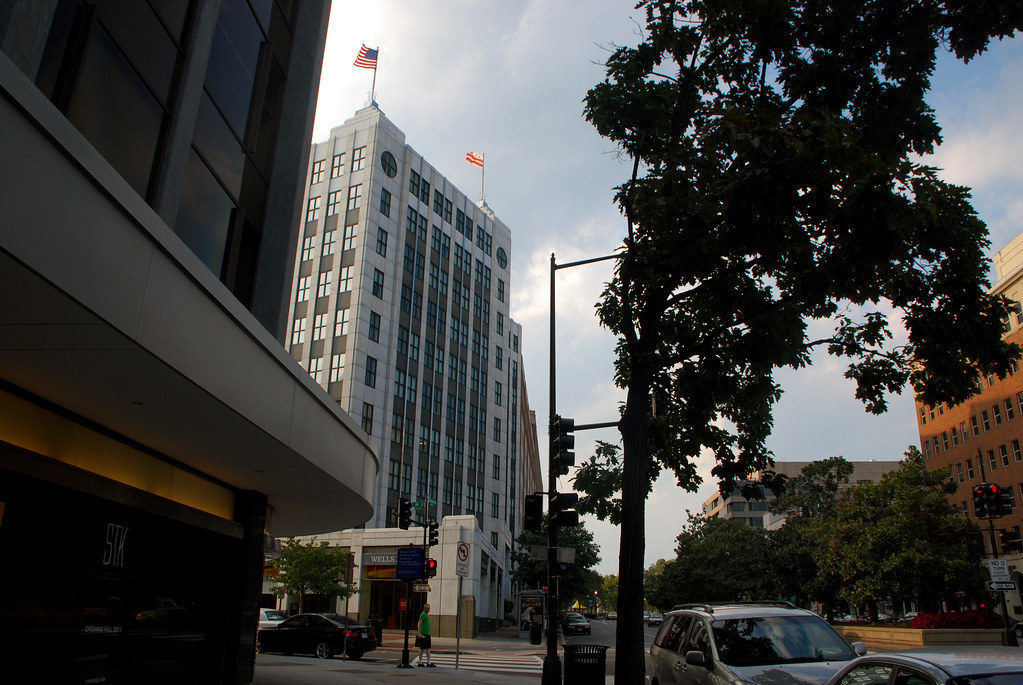
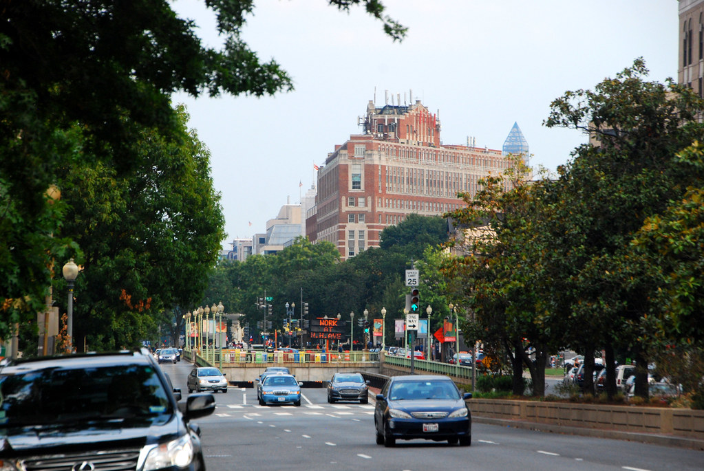
As one heads south towards downtown DC, it gets more intense.

Metro.
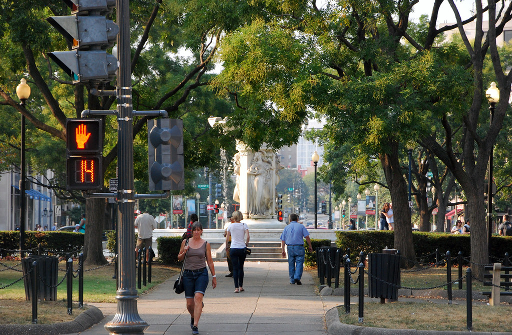
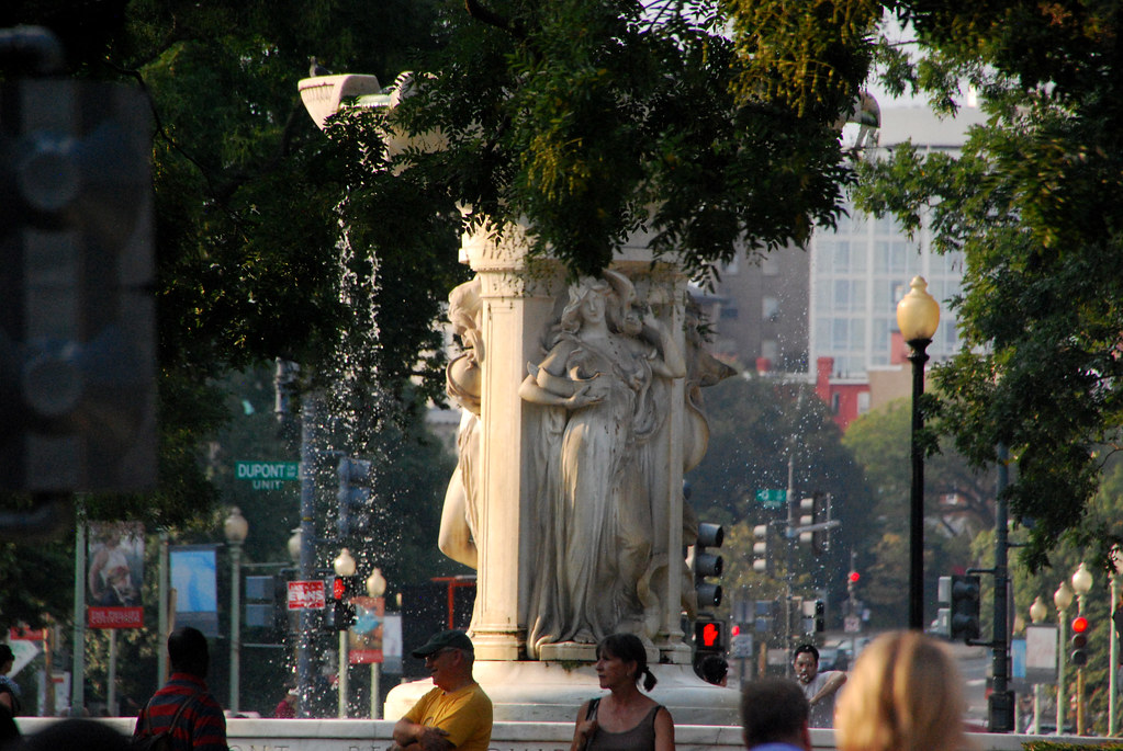
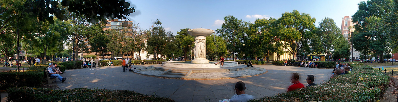
Finally, let's head to the namesake of the neighorhood and by-far its most famous spot, Dupont Circle itself. Our local park and gathering place.
Don't miss the Washington Monument peaking out in the background, covered in its
earthquake repair scaffolds.


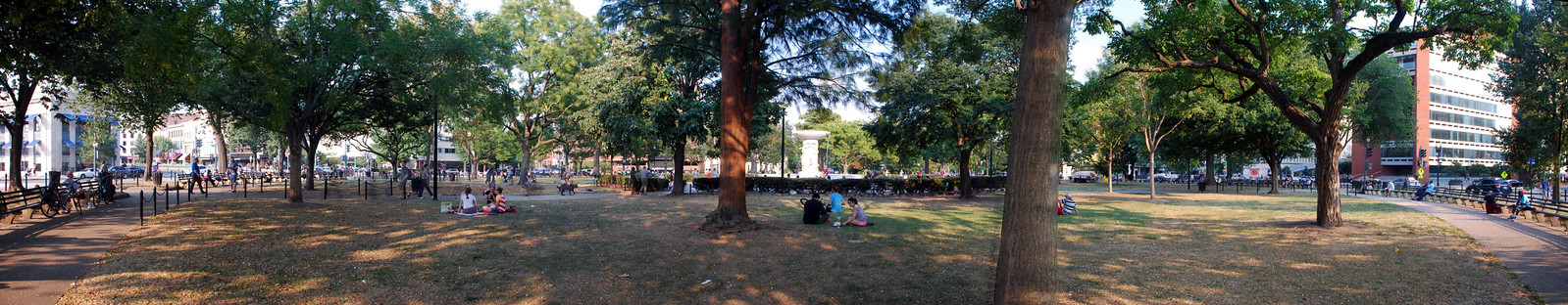
A couple of panos to close out:
 Link to full size pano
 Link to full size pano
Goodbye!


 Prev
Prev


 I thought about living elsewhere in the city, but this neighborhood offers me just about everything I could want, including close proximity to various other great neighborhoods.


 Linear Mode
