Well as I said before, it's also about quality of infill and existing urban fabric, which can't really be measured. What WilliamTheArtist describes goes for
Atlanta
Dallas
Houston
Phoenix
much of South FL (really outside of Miami Beach, which is urban and walkable)
Austin
Nashville
Charlotte
Orlando
Tampa
Raleigh
Jacksonville
Sure these cities are building up and building "infill" as in wrapped structured parking and multifamily in "infill" lots, but it's truly going to be a long time, maybe take a miracle if they result in a vibrant, urban city in the traditional sense. Parking ratios are still super duper high (1 spot per bedroom + visitor and then some) and while sidewalks are being built and some projects are "mixed-use" with retail below, it's still predominantly drive up.
I don't include LA and San Diego in the same category because while a lot of new "infill" developments there include high parking ratios, these cities' built up areas are much much denser and "small-scale" than the above, and so they are already a notch above on urbanity and I'd say anything that gets built, for the most part, in the metros of each would be considered "infill". It's going to be a lot more rare to build something in LA that is surrounded within a half mile by 90+% single family housing than it is in any of the Sunbelt sprawlers above. And LA's SFR is quite tightly packed, heavily mixed with in-laws and apartment structures of 5-20 units. This goes for much of the metro area outside of the gated communities and mountain view communities.
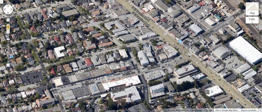
San Jose is like LA - developing much in the same fashion. It's known as a sprawler, but is consistently ~6,000+ ppsm already across most of the city and much higher on corridors. That means new apartments are always built to the curb with ground floor retail. Some examples I was going to post on that suburban metro walkability ranking thread:
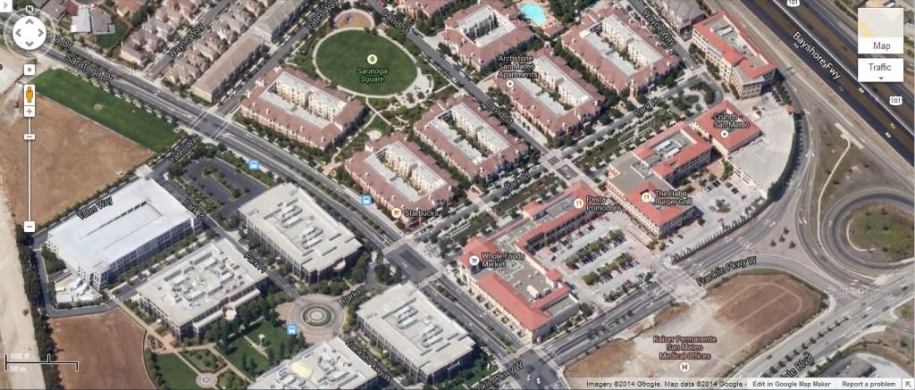
When one talks about a new multifamily project getting built, miraculously, in suburban San Francisco, they are referring to:
 Source
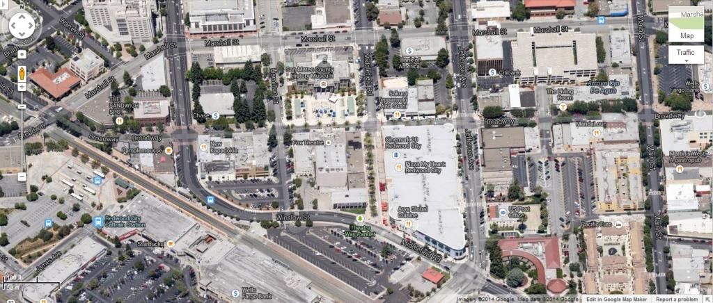
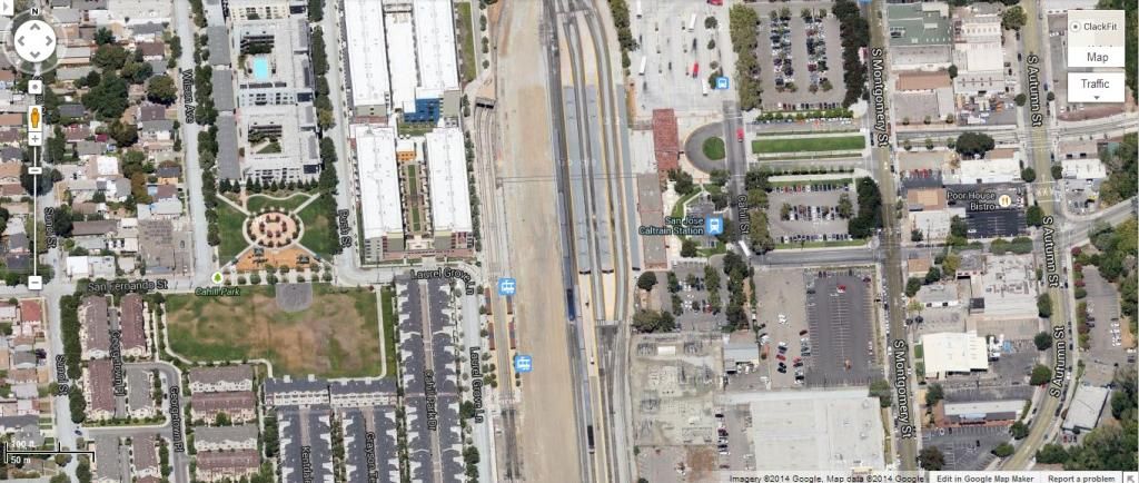
Which is catty corner to a Caltrain Station. Below is the parking lot it is going on in Silicon Valley:
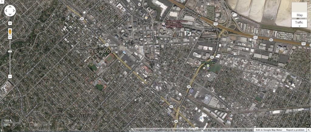
And aerial of that area:
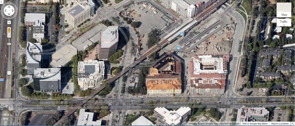
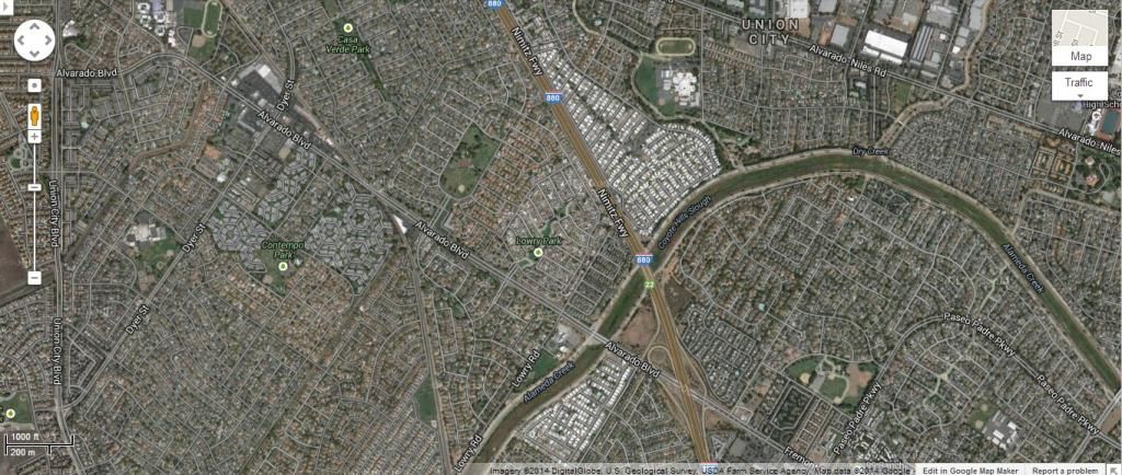
This is far far out East Bay in Contra Costa County - Concord (2nd or 3rd to last BART stop going East):
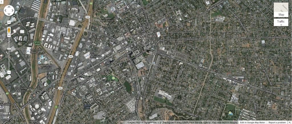
And what it looks like from satellite view:
Typical suburban Bay Area 80s/90s density (this is East Bay):
San Jose gets infill TOD for both Caltrain and its light rail at this transfer:
Not too far away:

Typical Peninsula towns:
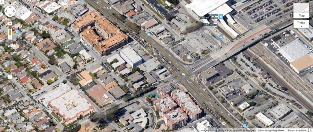
Milbrae:
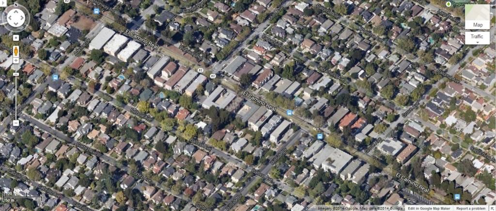
Area residential density:
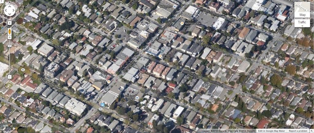
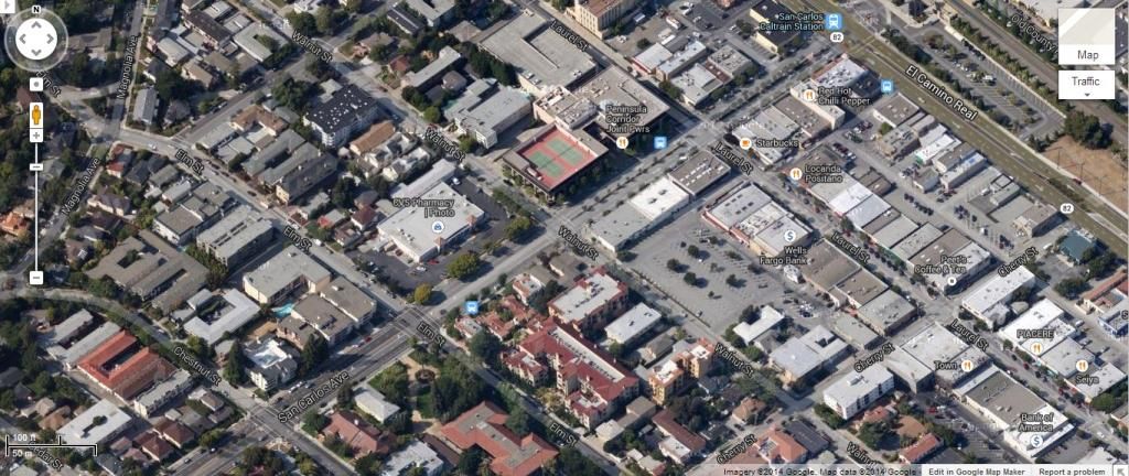
San Carlos:
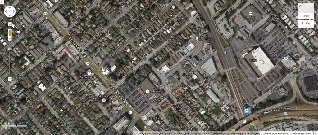
San Bruno
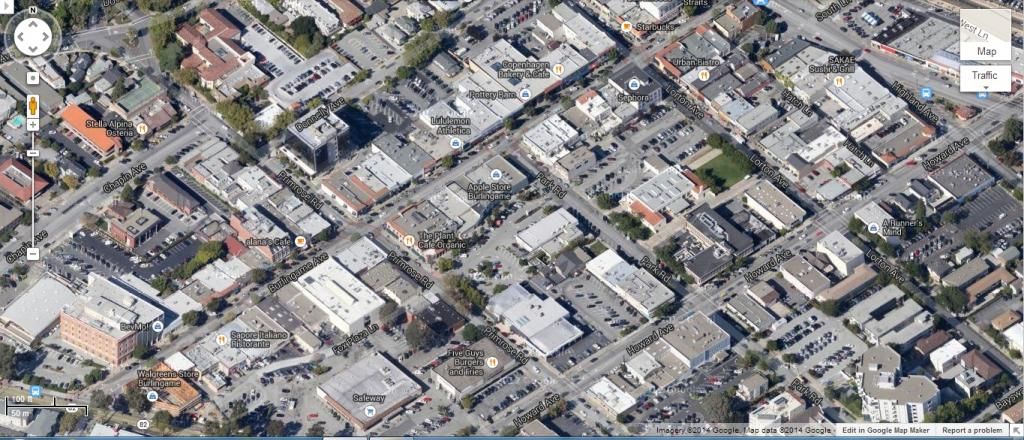
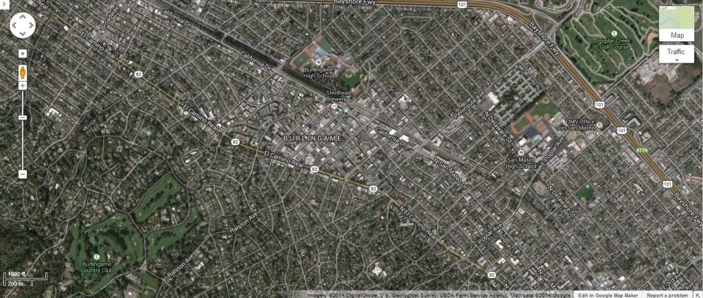
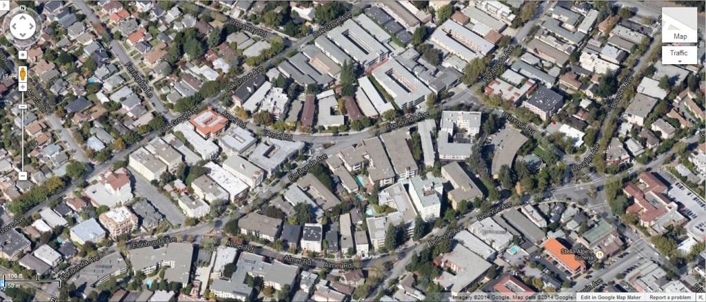
Burlingame:
Residential Density from that area:
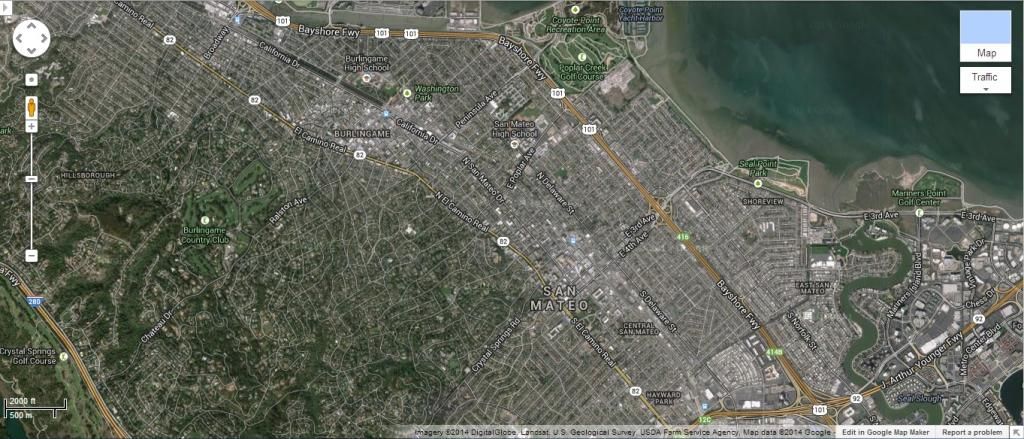
San Mateo:
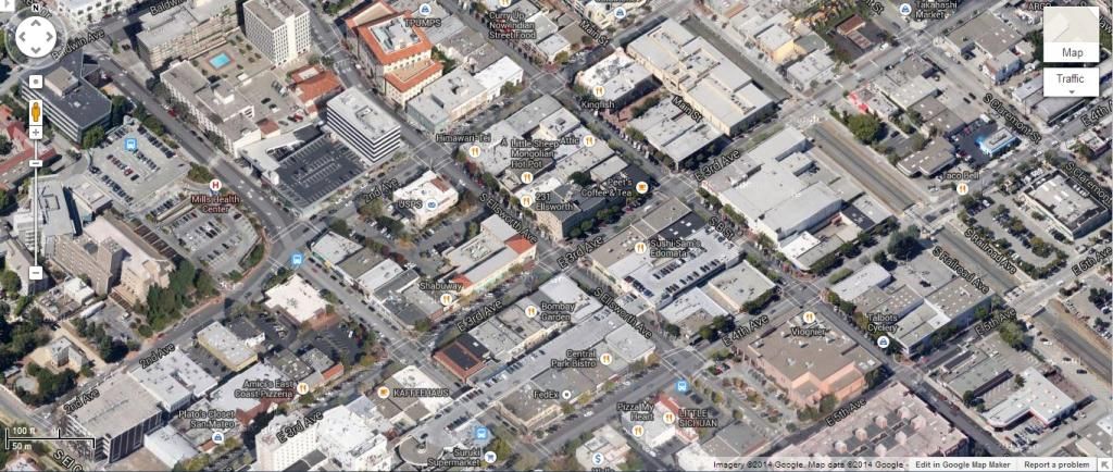
Both San Mateo and Burlingame from satellite:
Typical Silicon Valley:
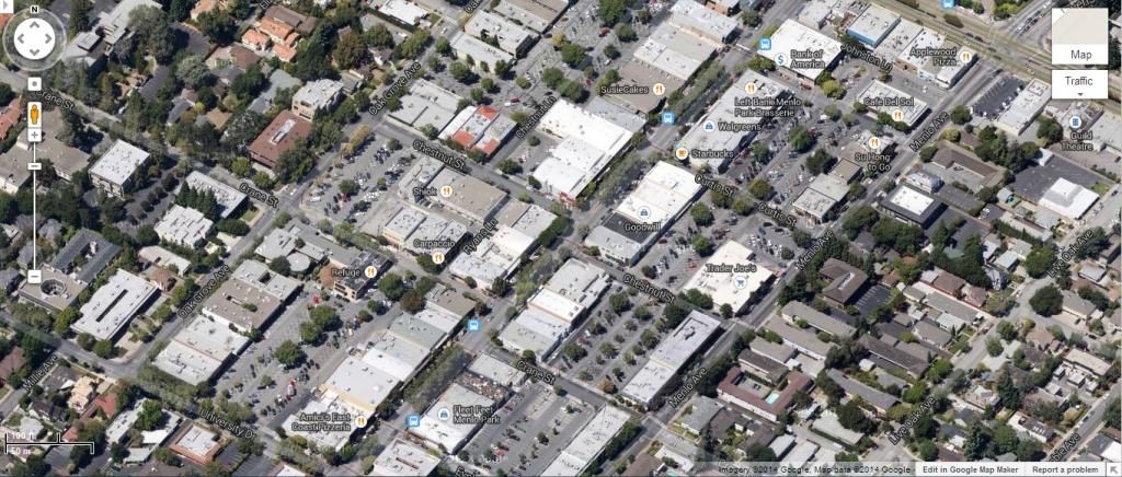
Menlo Park
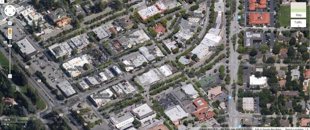
Los Altos
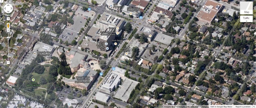
Mountain View
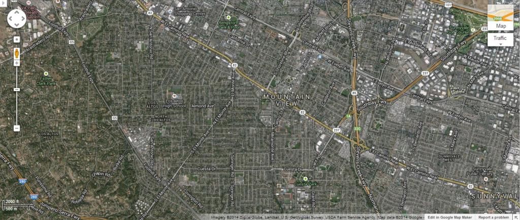
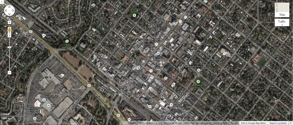
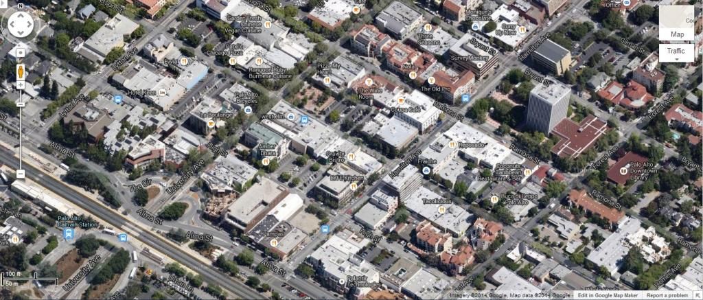
Palo Alto
Random
Typical East Bay towns:
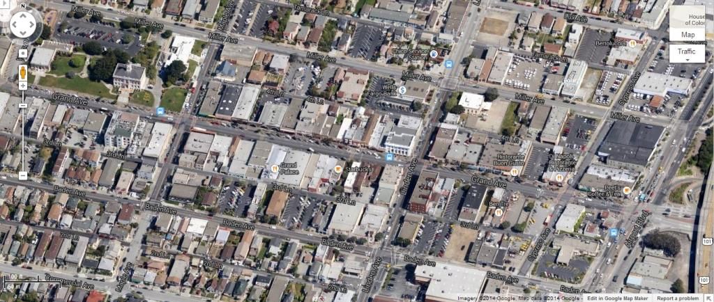
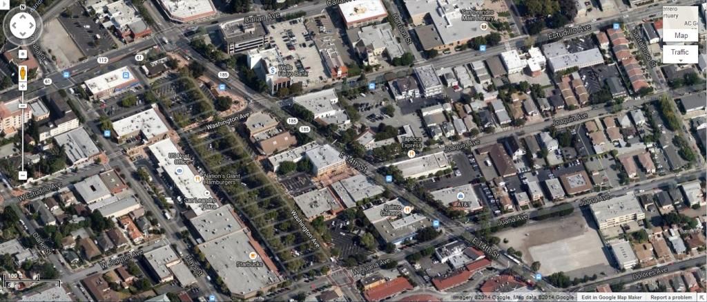
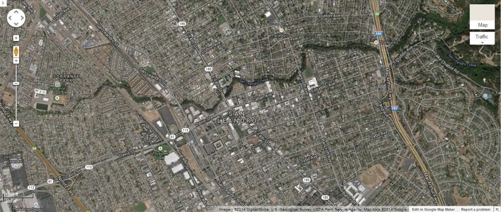
San Leandro (Alameda County)
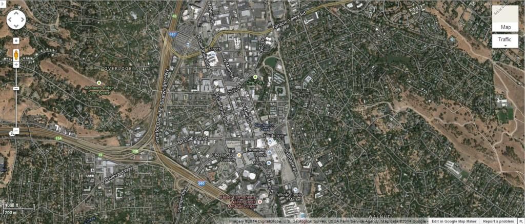
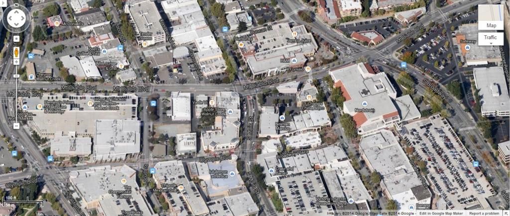
Walnut Creek (Contra Costa County)
Typical North Bay towns:
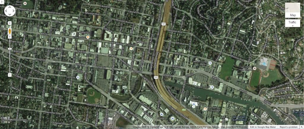
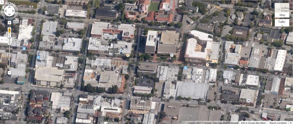
San Rafael
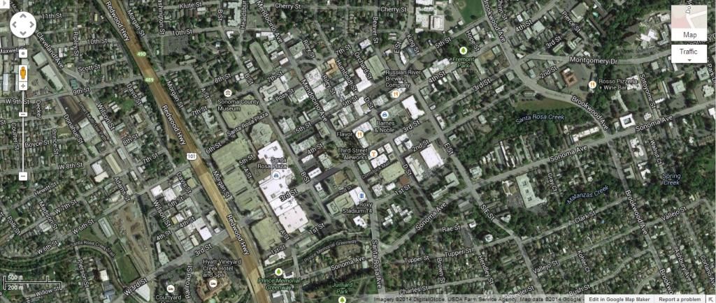
Santa Rosa (way up there)
What this built up density means, is that a big box grocer actually becomes a walk up and there is likely a train station nearby connecting the rest of the Bay Area, so even suburban sprawly Bay Area would be more walkable than much of the "infill" areas of newer Sunbelt cities:
I don't know necessarily how take all the subjective stuff into consideration. Most of what gets built in CA as a whole is TOD or at least "infill" in the sense that it is surrounded by existing 6,000+ppsm density. I don't think this necessarily compares to a Dallas, Houston, or Atlanta. The other consideration is that for LA and SF, there are BIG and DENSE suburban/secondary cities, as well. SF has Oakland, Berkeley, and downtown San Jose. LA has countless, just so many "downtowns" throughout, including Long Beach, Pasadena, Santa Monica, Glendale, etc etc. For the Bay Area, SF, Oakland, and Berkeley alone make up 30% of the MSA population.


 Prev
Prev


 Linear Mode
