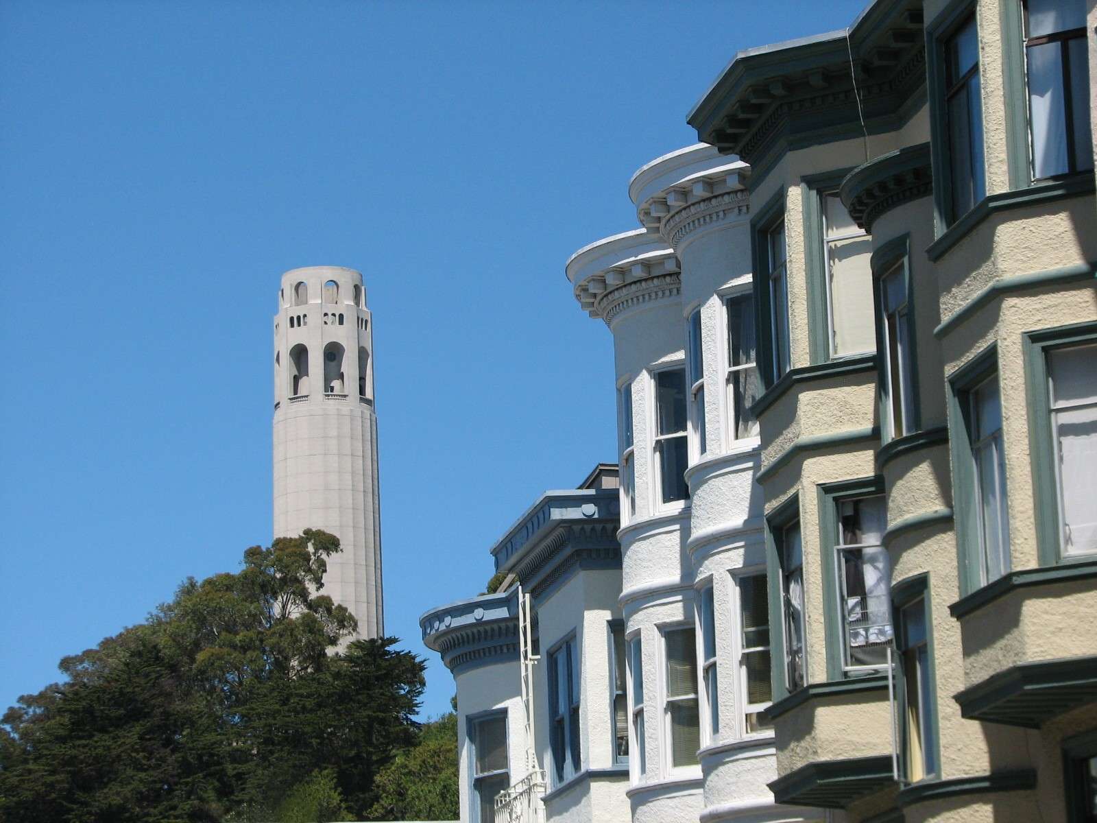
Telegraph Hill is a neighborhood within San Francisco's 7-mile by 7-mile city limits. It is a small area, composed of a single 275-foot hill covered almost exclusively with historic lowrise residential buildings in a fairly high concentration. It is a quiet neighborhood except for a large amount of vehicle traffic winding its way to the top's park and monument; several sidewalks and stairways are also busy with pedestrians ascending for the views. The neighborhoods that surround it at lower elevations are far busier: South is Jackson Square and the Financial District, so the hill touches downtown. Southwest and West is North Beach; North is Fisherman's Wharf; and East is the Embarcadero, the thin district that separates Telegraph Hill from San Francisco Bay.
Skyline:
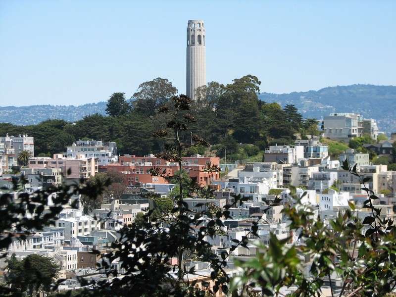
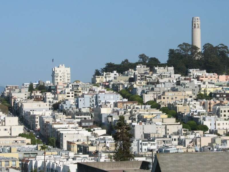
These views are from Russian Hill, looking across the lower elevations of North Beach. The distant hills are across San Francisco Bay in cities such as Oakland.

Pioneer Park:
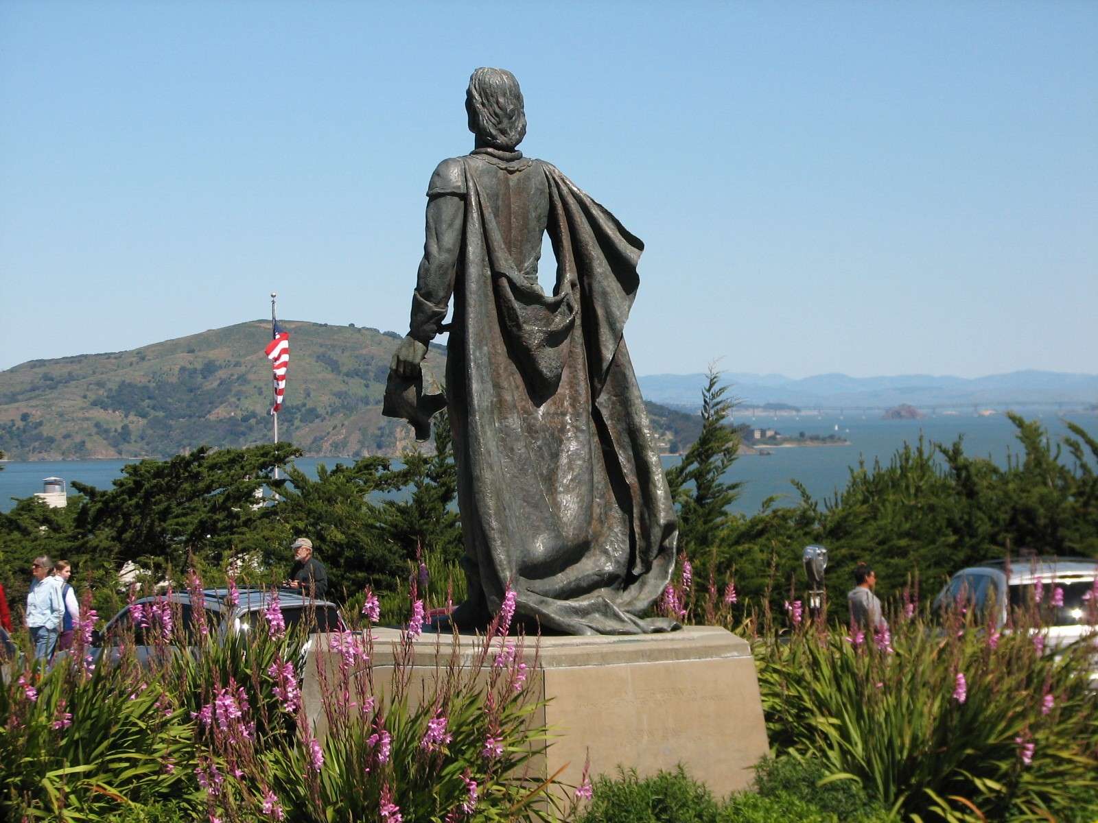
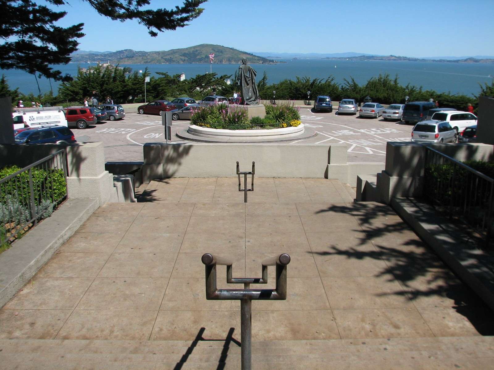
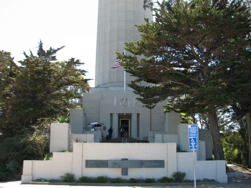
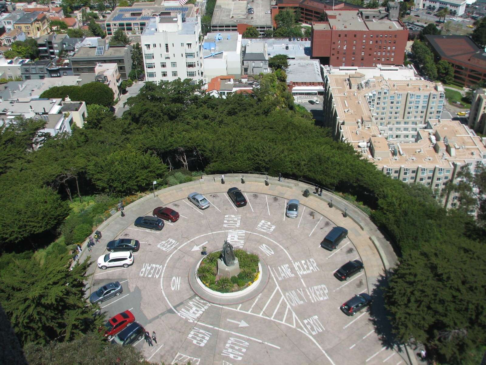
The top of the hill is crowned by this small park, first set aside as a park in 1876. Prior to that, it was the site for a semaphore station that would signal the arrival of ships entering San Francisco Bay and relay that information to the wharves out of view of the Golden Gate. A statue of Christopher Columbus from 1957 is in the center of the vehicle parking lot at the terminus of Lombard Street; it and the adjoining Coit Tower occupy most of the park.
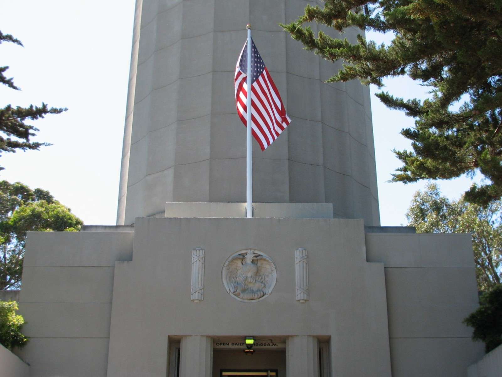
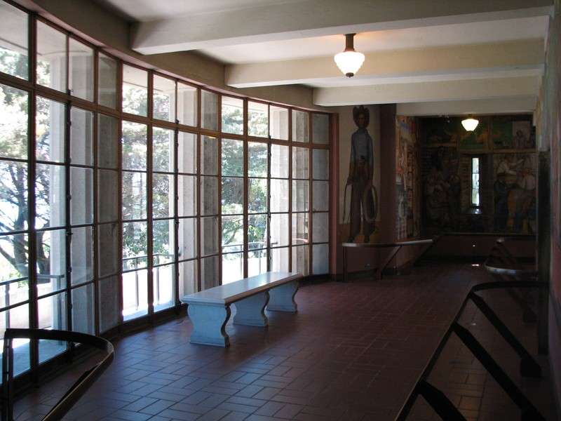
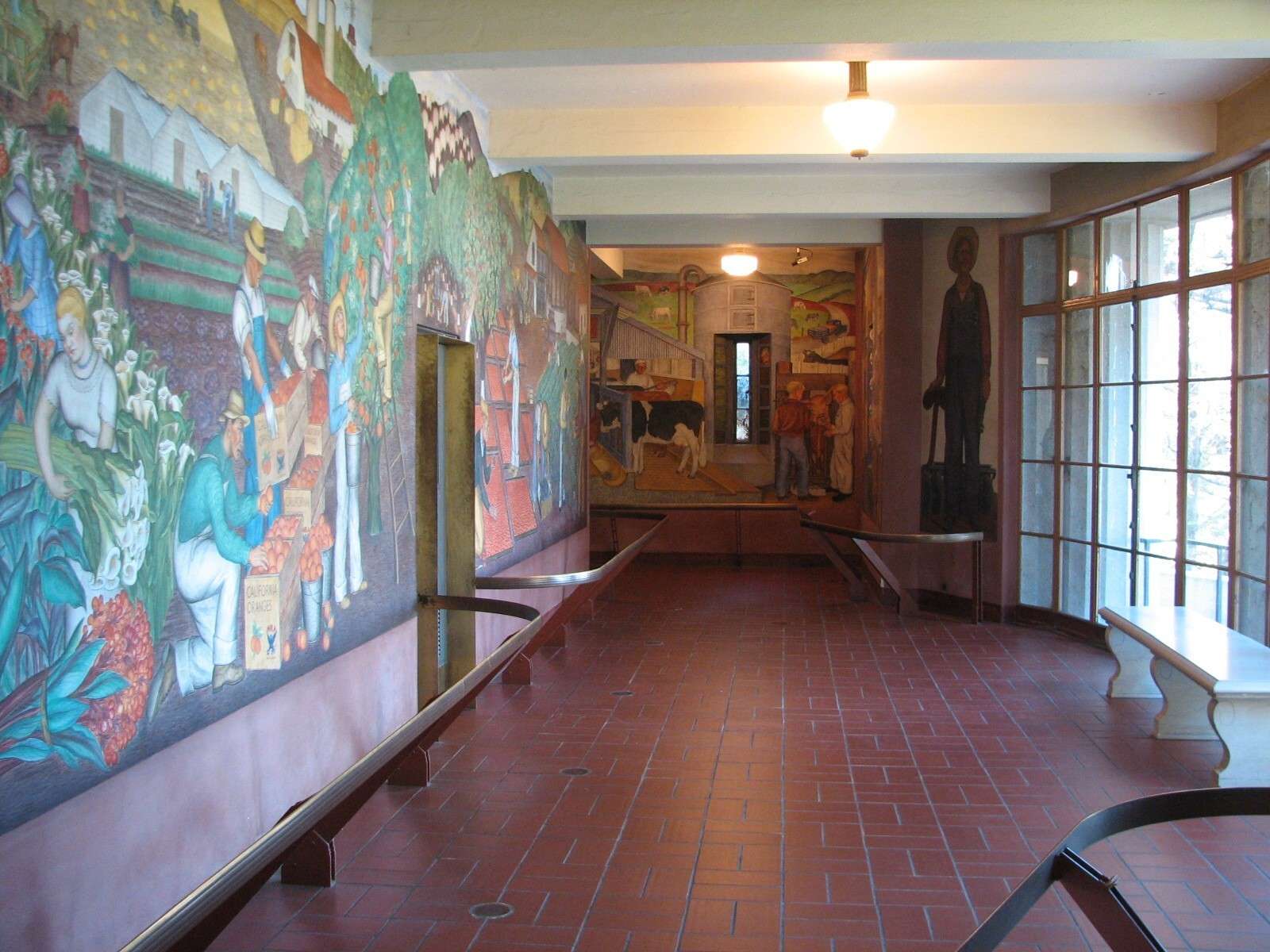
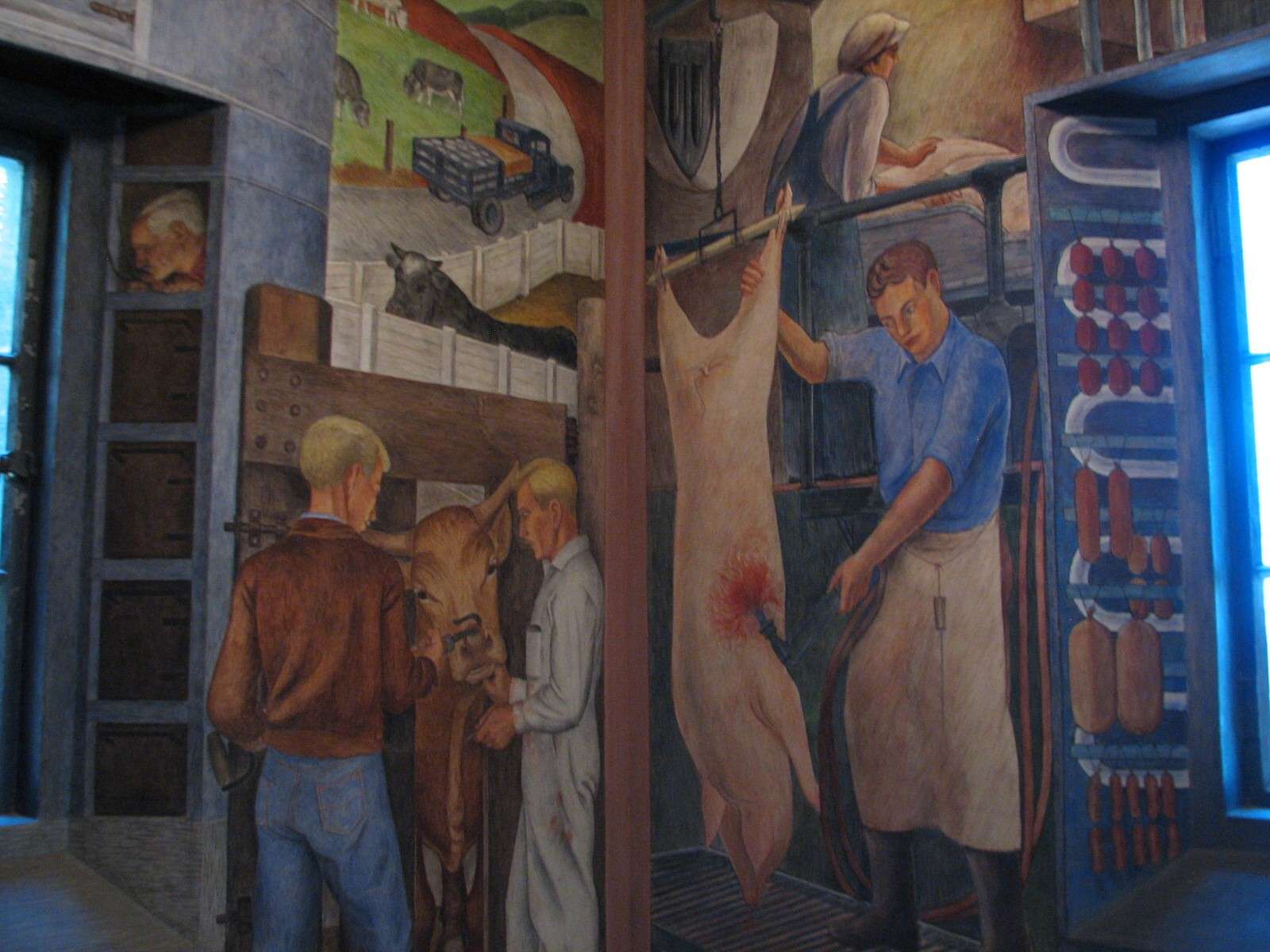
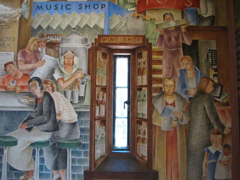
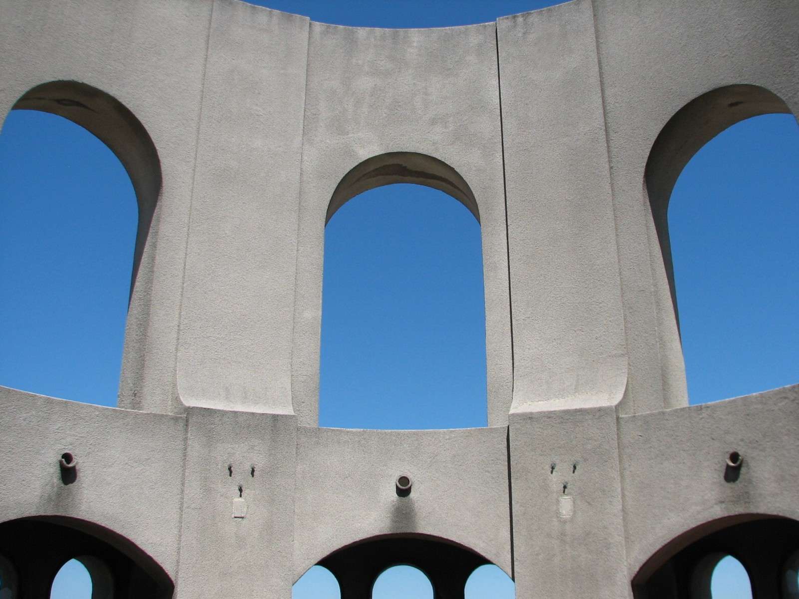
Coit Tower:
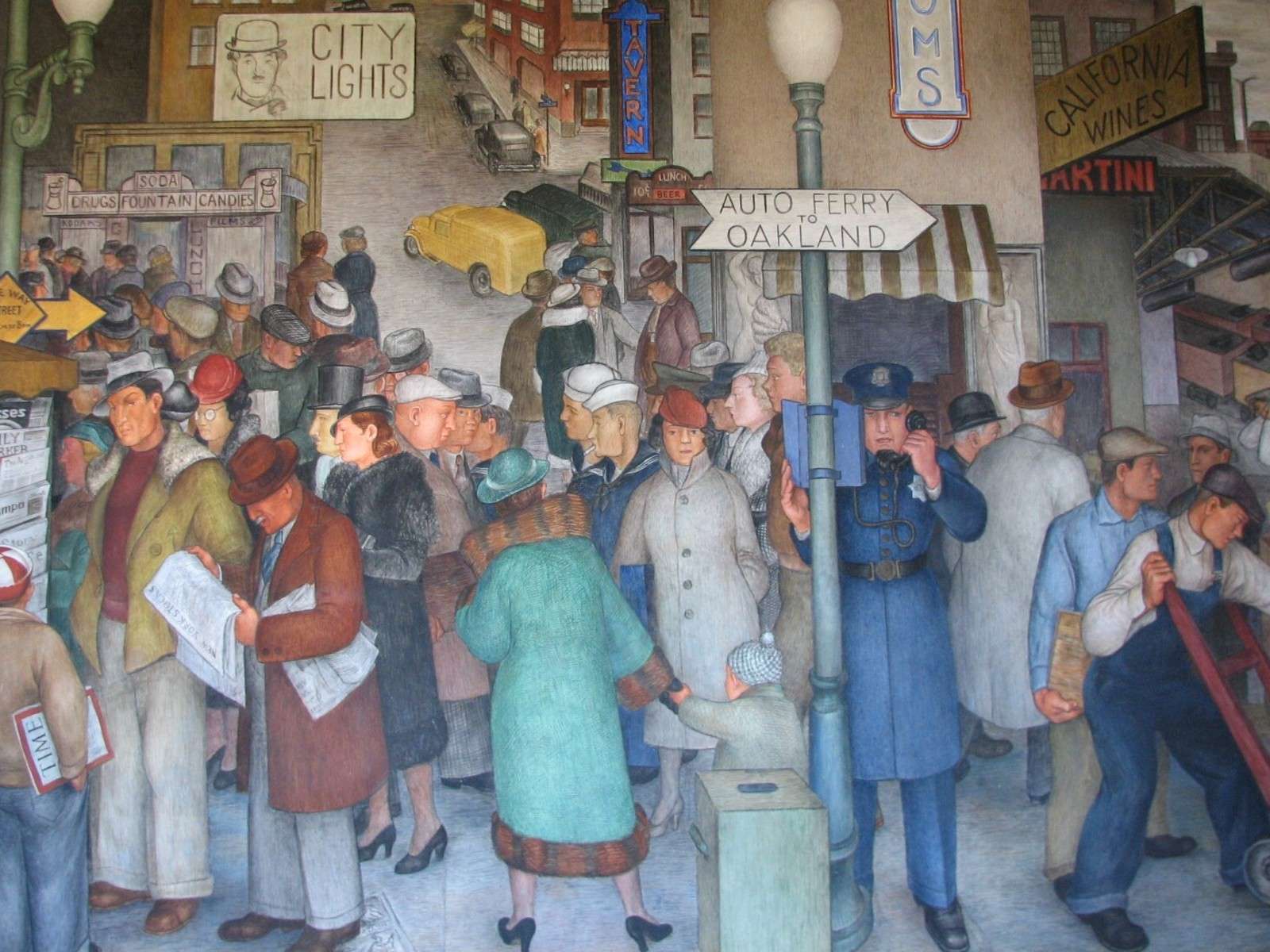
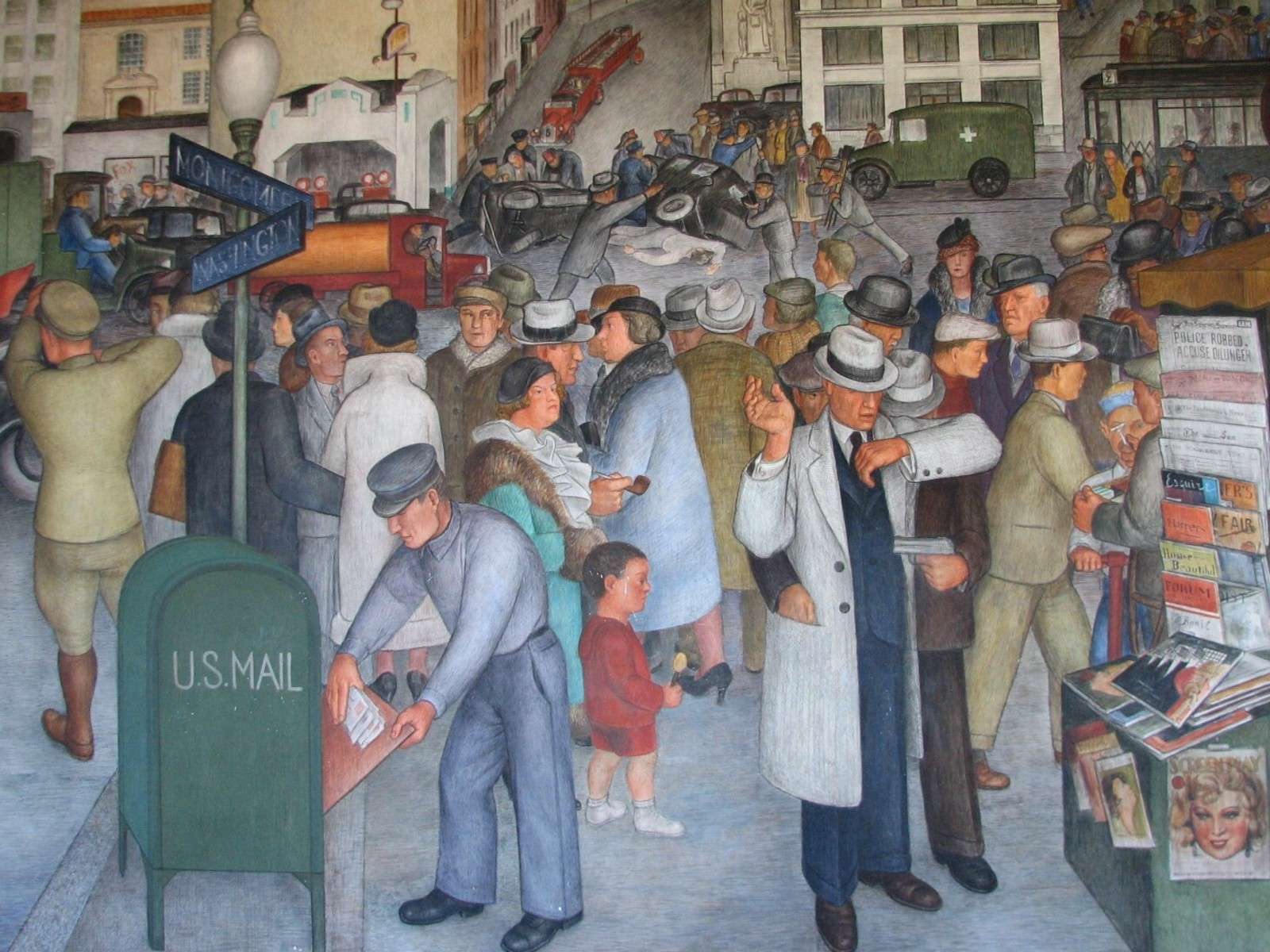
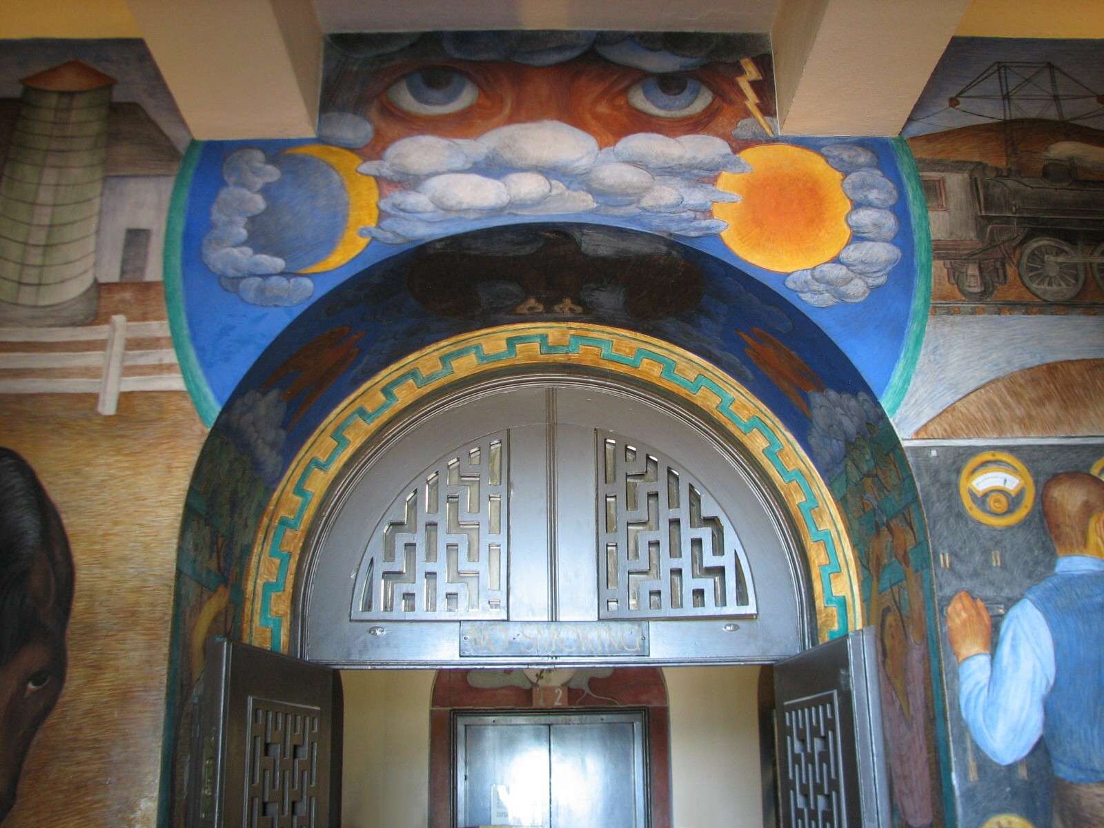
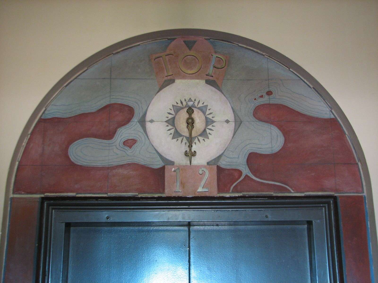
This Art Deco monument is 210 feet tall and opened in 1933, adding a dramatic spike to the hill's profile. A one-story base acts as a small lobby, whose wall surfaces are covered with fresco murals done by 26 different artists completed within a year of the tower's opening. An elevator takes visitors up to an observation platform at the top of the tower.
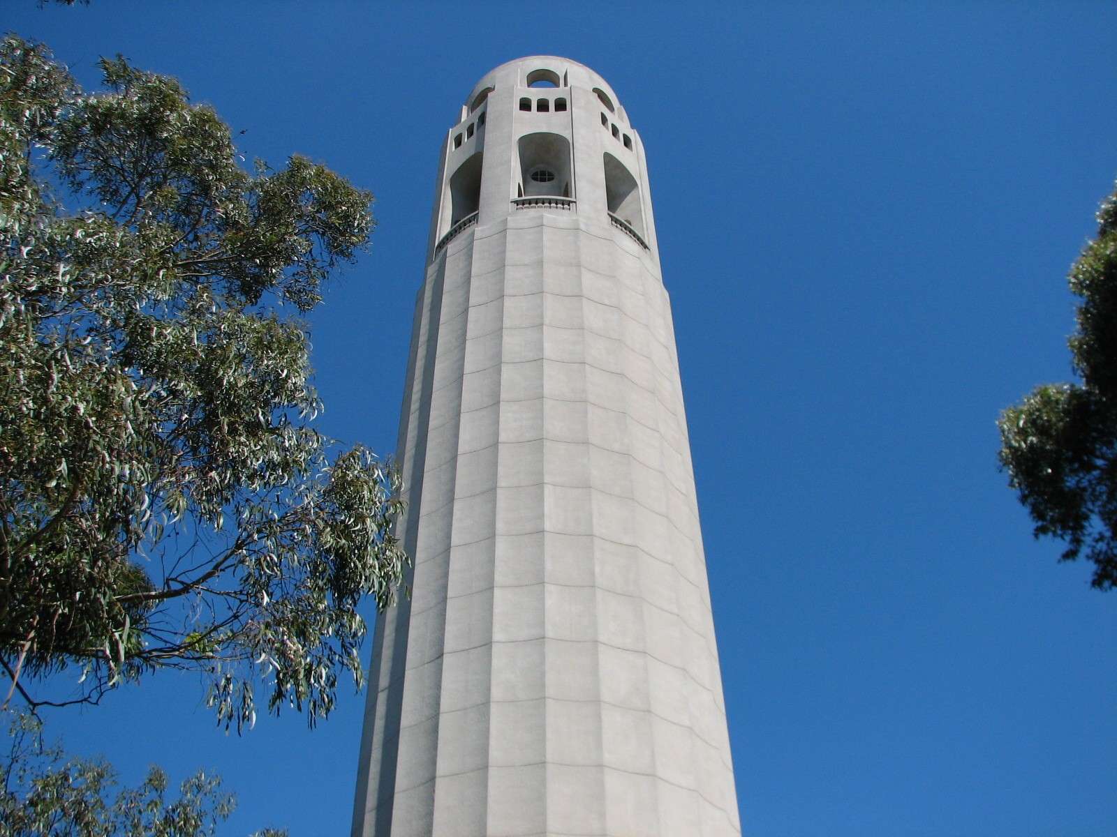
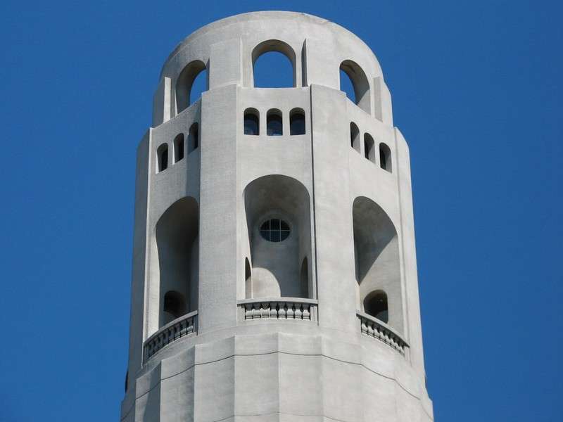


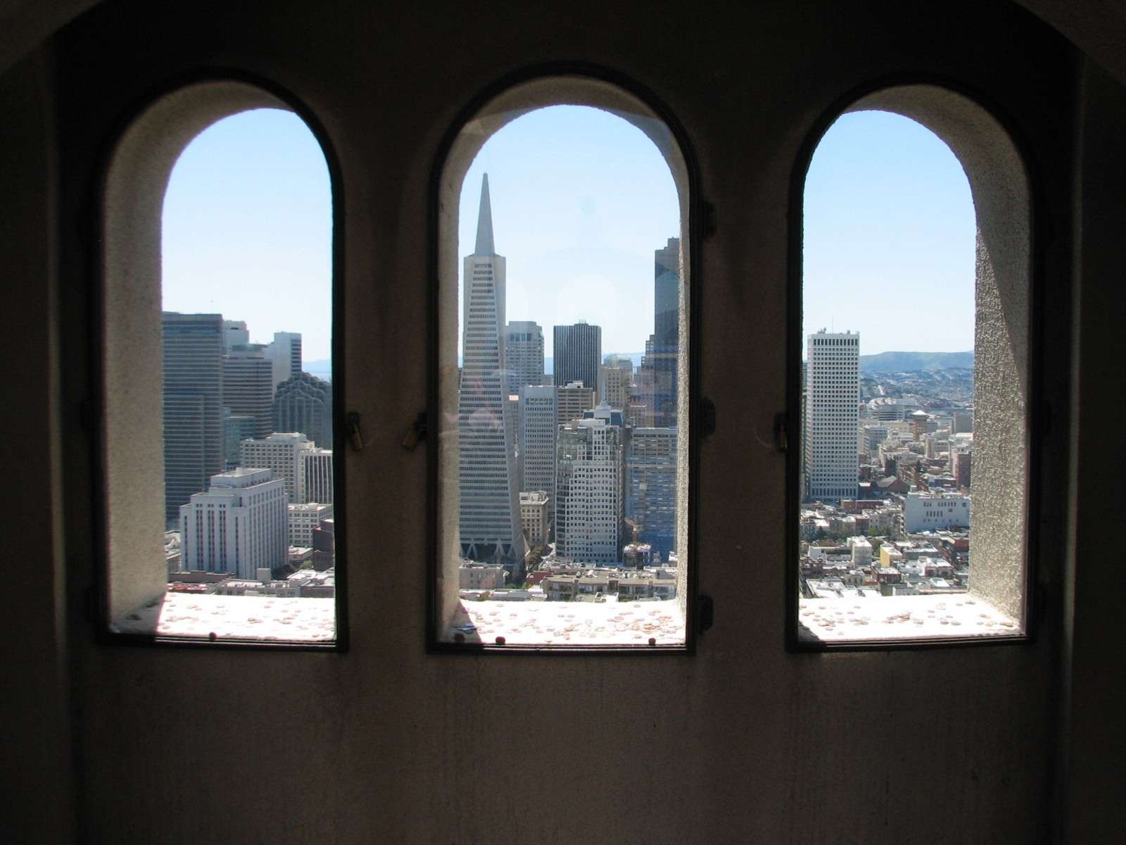
Coit Tower Observation Deck:
View Down from Coit Tower:
Pioneer Park and the parking lot at the base of the tower are visible, as well as the area of Fisherman's Wharf closest to Telegraph Hill.
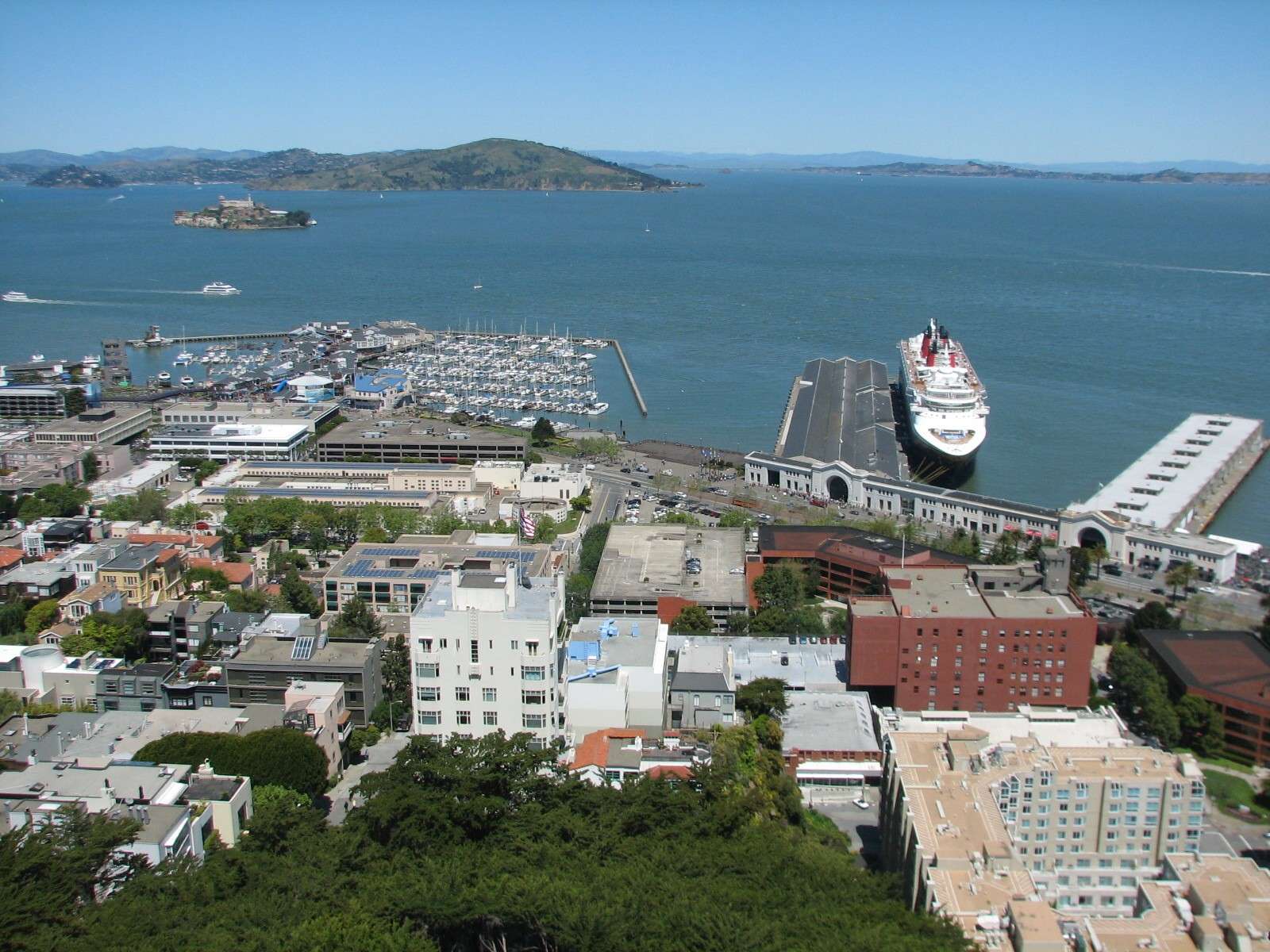
View North from Coit Tower:
Fisherman's Wharf and its piers dominate this view; Alcatraz Island can be seen in San Francisco Bay. The North Bay area lies beyond, with Angel Island being the most prominent elevation.
View Northwest from Coit Tower:
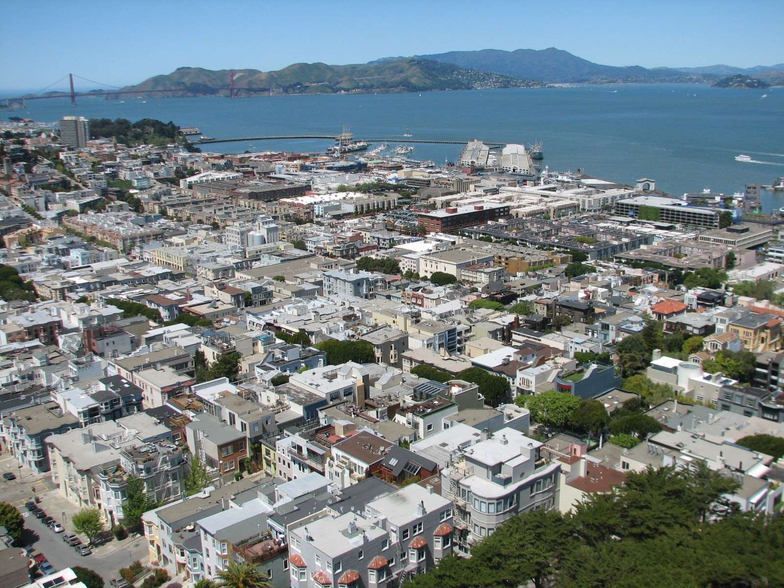
The residential area of Telegraph Hill is in the foreground, adjoining North Beach (beyond, to the left) and Fisherman's Wharf (most of the shoreline area seen here). In the distance, the Golden Gate can be seen as well as the hills of Southern Marin County.
View West from Coit Tower:
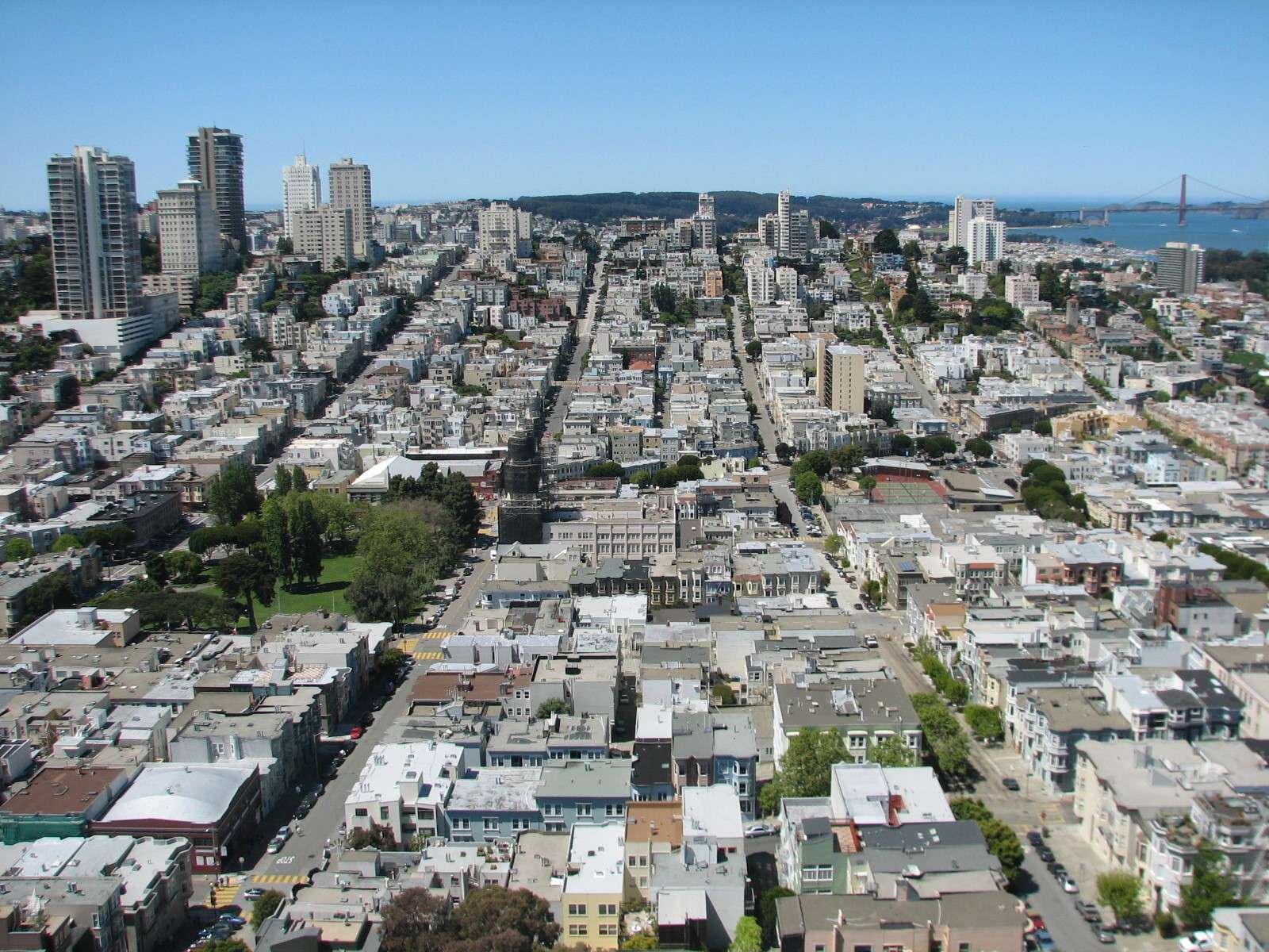
North Beach is in the foreground, while Russian Hill is the ridge rising above it with scattered residential highrises.
View Southwest from Coit Tower:
This impressive panorama of buildings includes North Beach and Chinatown beyond, in the lower elevations; Nob Hill rises above them and has a scattered area of highrises. More highrises in the Union Square area can be seen beyond to the left. The hills of the Southern part are in the distance.
View South from Coit Tower:
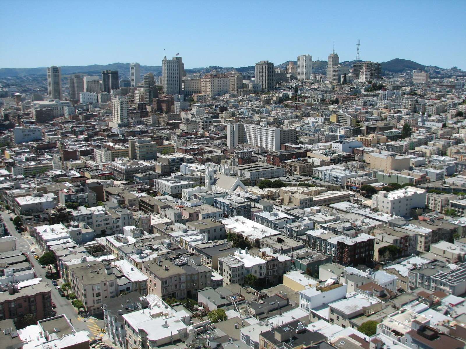
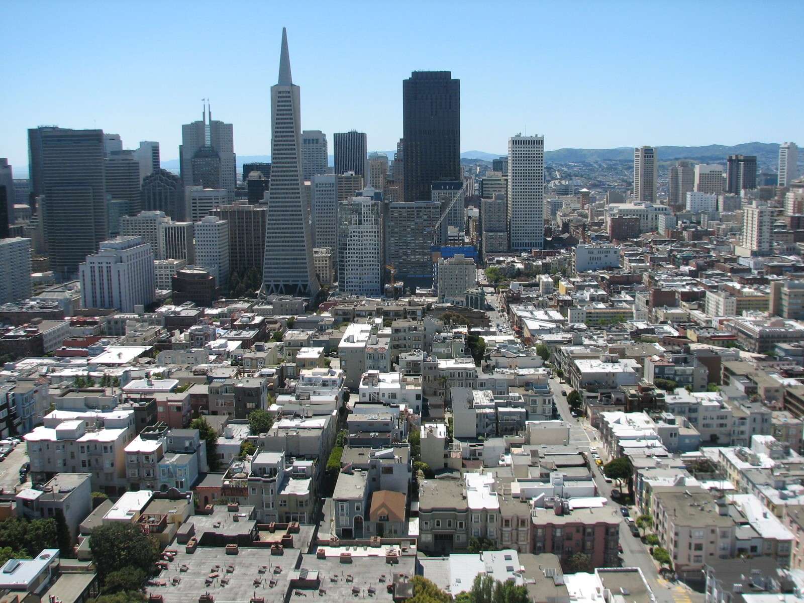
The lower elevations of the hill lead to Jackson Square as well as the Southern part of North Beach before hitting the wall of highrises in the Financial District.
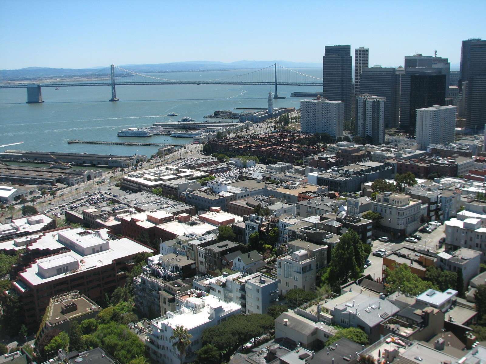
View Southeast from Coit Tower:
Financial District and Embarcadero are on the shoreline, with the San Francisco Bay Bridge in the background.
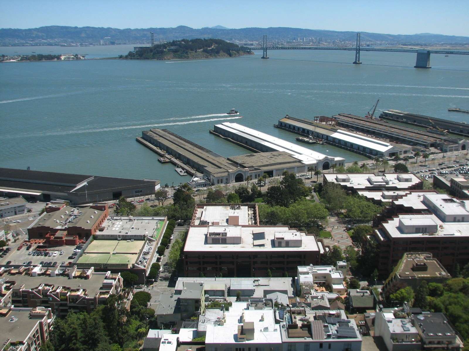
View East from Coit Tower:
Embarcadero and its piers lie below, with Yerba Buena and Treasure Island seen in the middle of the bay and connected to the city and Oakland across the water by the San Francisco Bay Bridge.
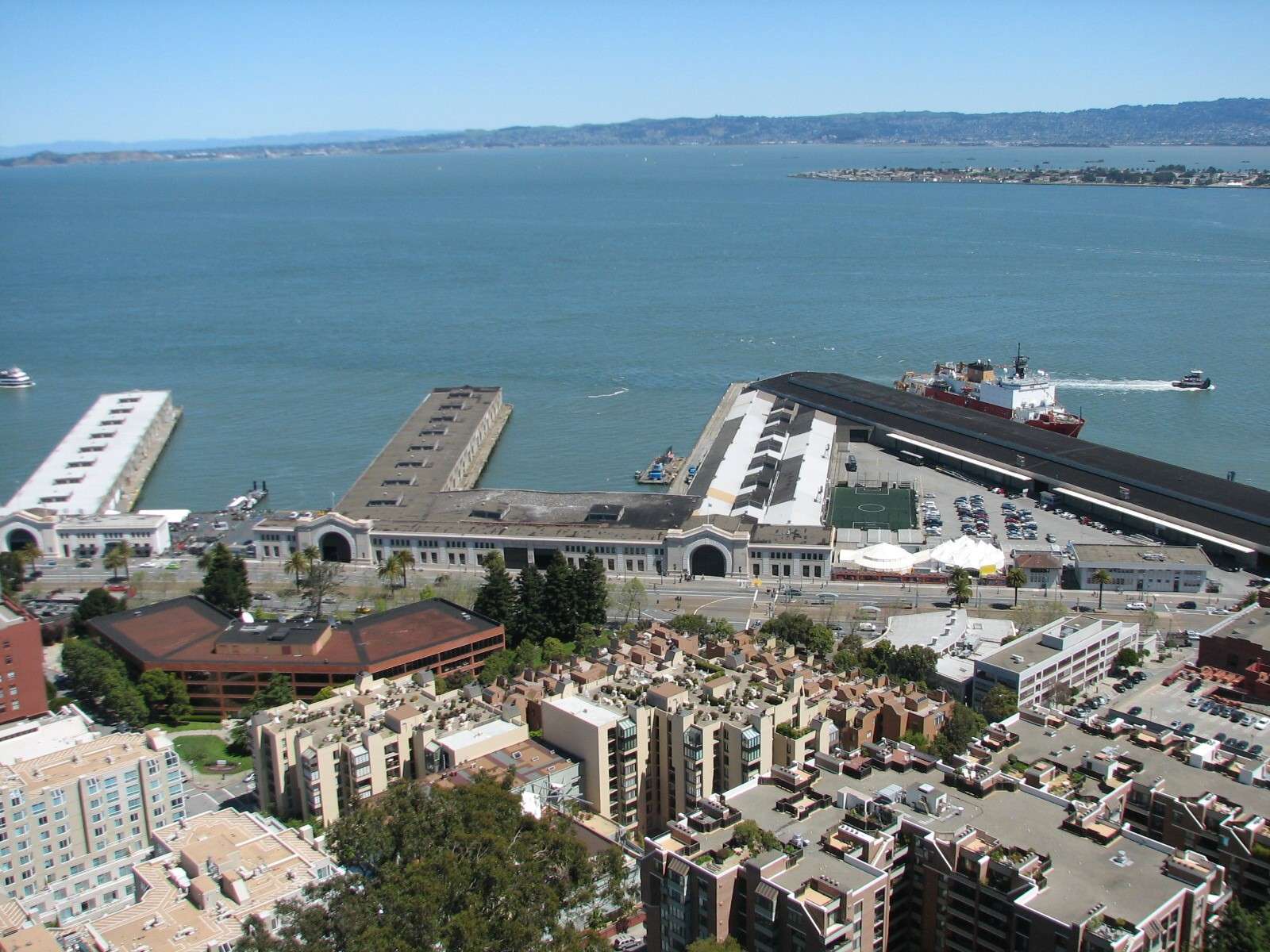
View Northeast from Coit Tower:
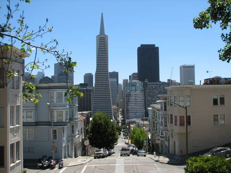
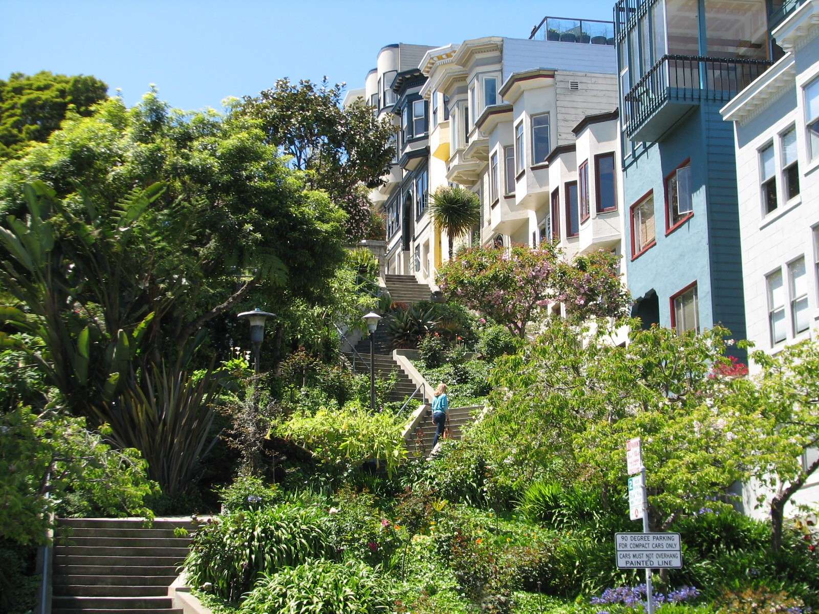
Telegraph Hill Streets and Stairways:
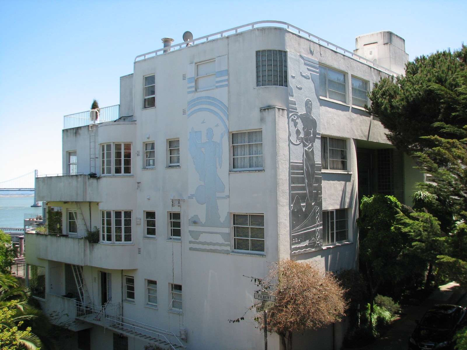
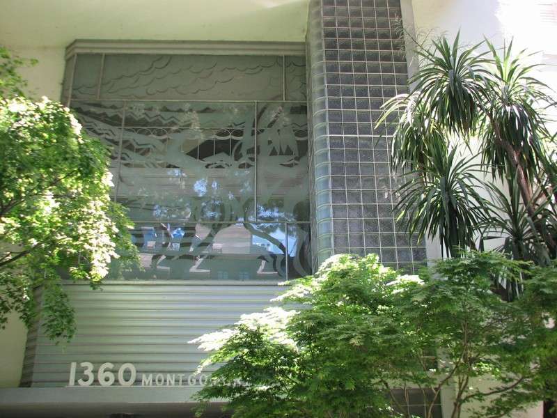
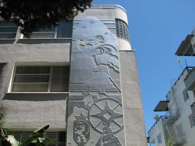
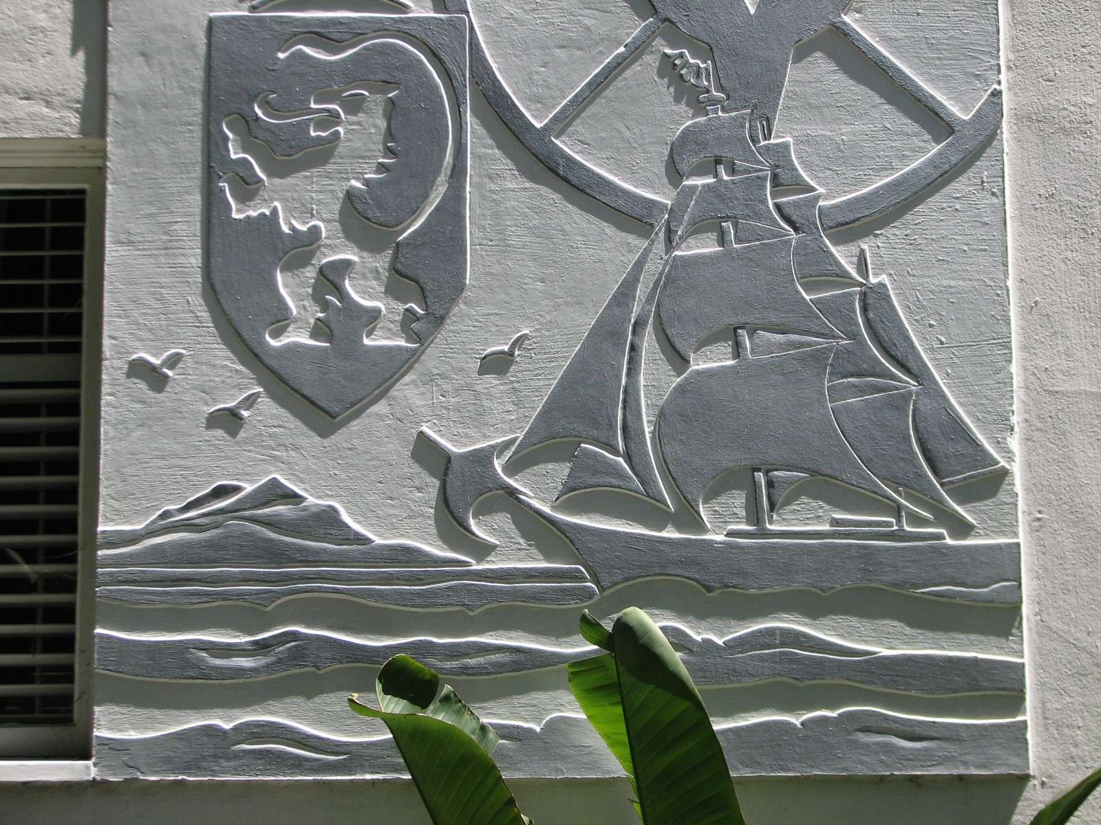
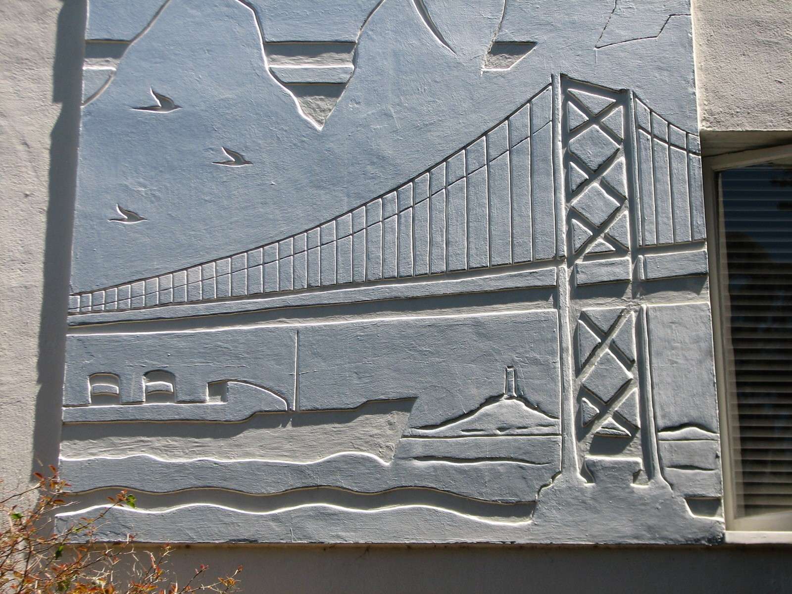
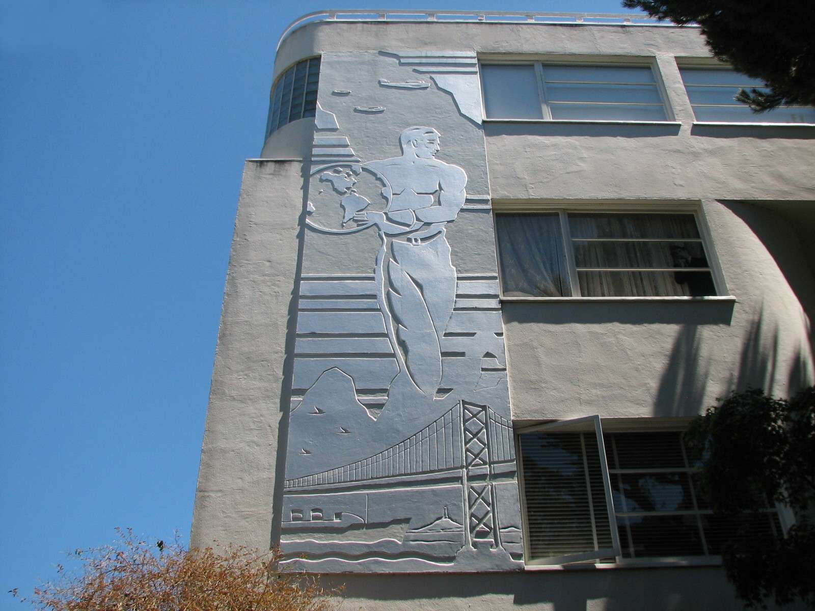
1360 Montgomery:
This is a notable streamline moderne residential building on the hill.
All photographs taken in 2011 (except a few from 2005-2010) by geomorph.


 Threaded Mode