Jeffries Point is a neighborhood in Boston, located across Boston Harbor from Boston's central neighborhoods. The neighborhood is bordered on land by Boston Logan International Airport to the east/northeast, Massachusetts Route 1A to the north, and Chelsea Street & Maverick Square to the west.
The neighborhood is notable as the second-most important immigration debarkation point on the United States' east coast, after Ellis Island. The East Boston Immigration Station opened in 1920, and operated until 1954. About 230,000 immigrants arrived in Boston between 1920 and 1954, with many being processed inside the immigration station.
Jeffries Point has historically been centered around Brophy Memorial Park, which was originally known as Belmont Square. Belmont Square was laid out on the top of Camp Hill in 1833. Camp Hill was named for the military earthwork, called Noddle's Island Fort, which was on the site from 1775 to 1778. The encampment was controlled by the British from 1775 to 1776, and then by the Patriots from 1776 to 1778.
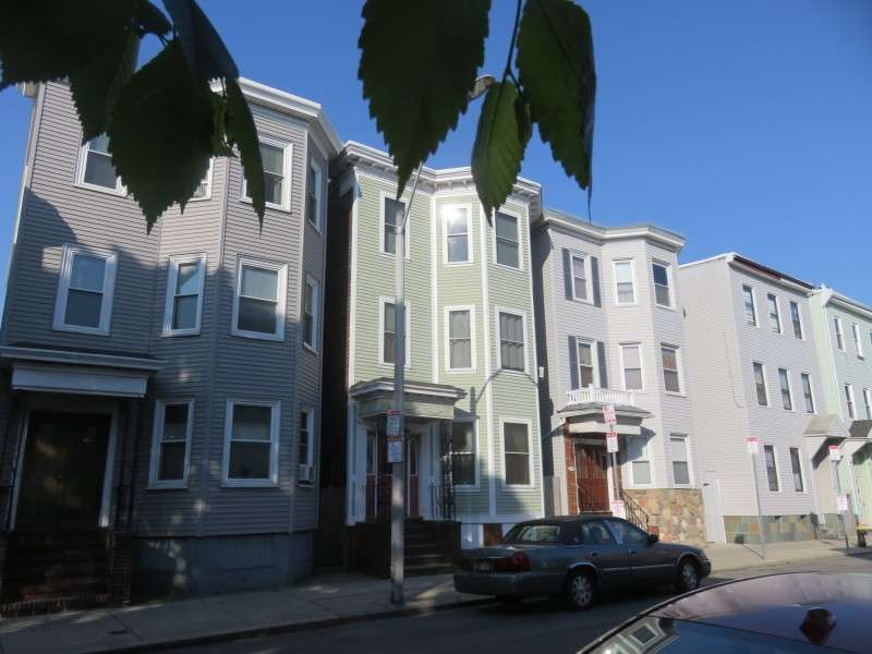
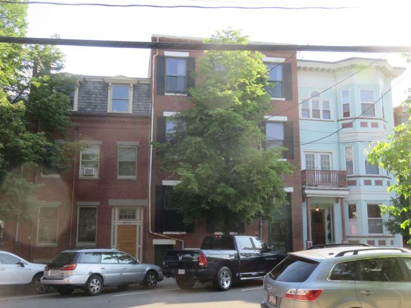
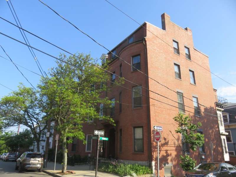
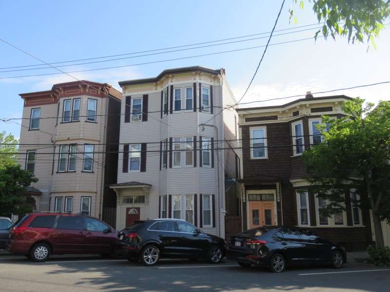
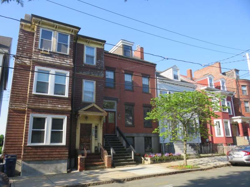
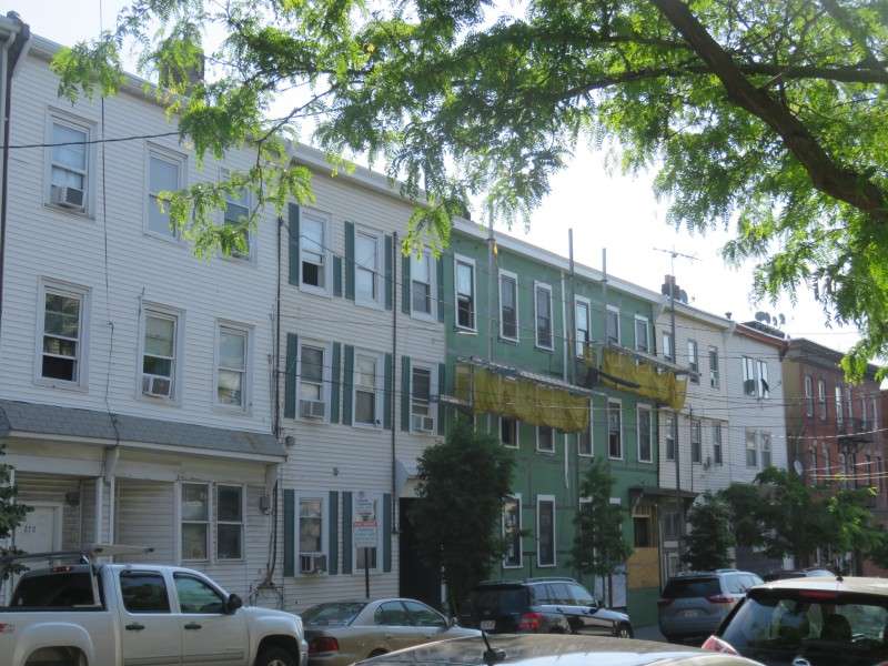
Three-deckers on Maverick Street.
Buildings on Maverick Street.
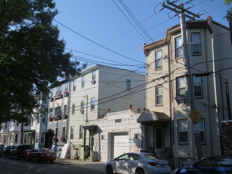
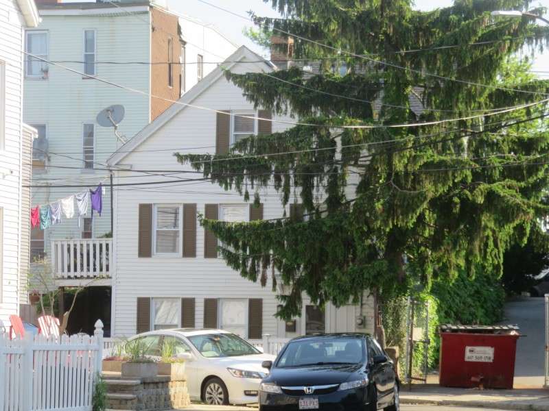
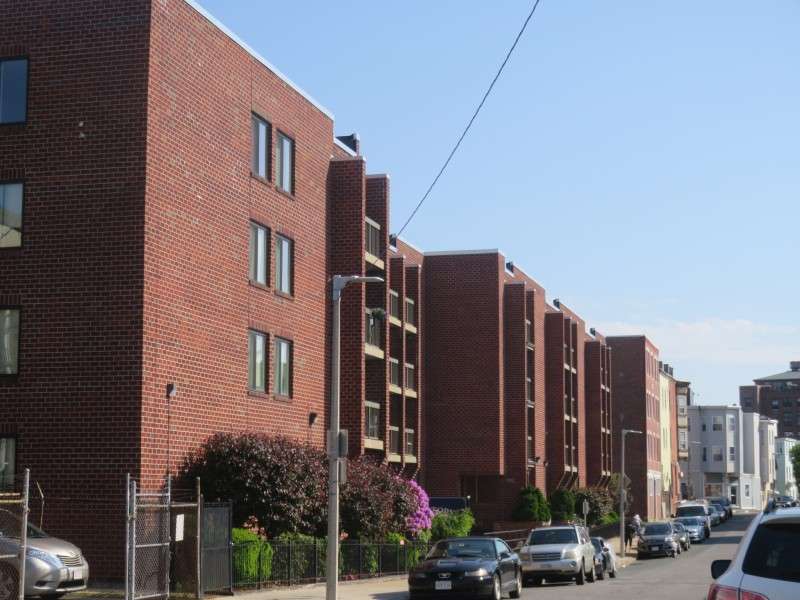
Three-deckers on Everett Street. The garage dates to 1929.
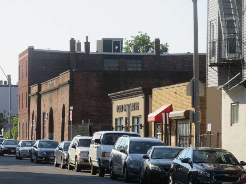
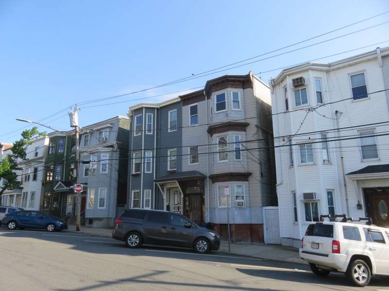
Buildings on Sumner Street.
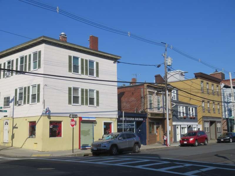
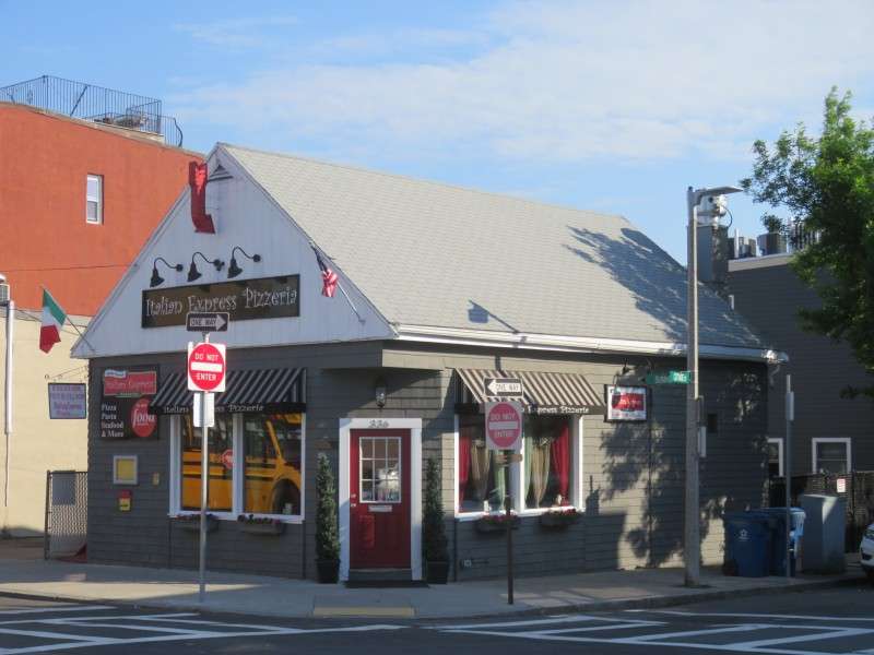
A restaurant on Sumner Street at Cottage Street.
Houses on Noble Court.
Houses on Sumner Street.
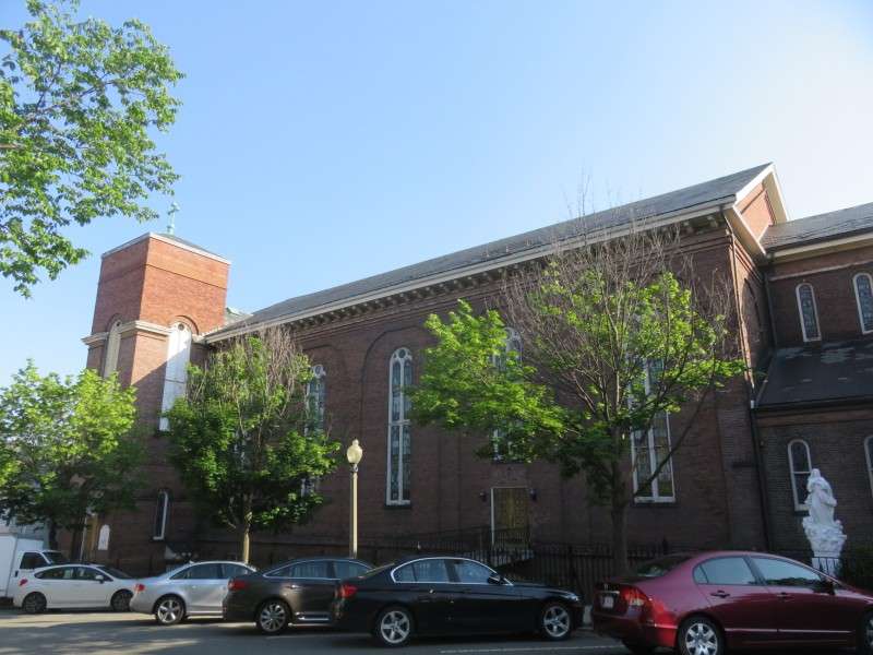
Our Lady of the Assumption Roman Catholic Church, on Sumner Street. The church was built in 1873.
Houses on Sumner Street.
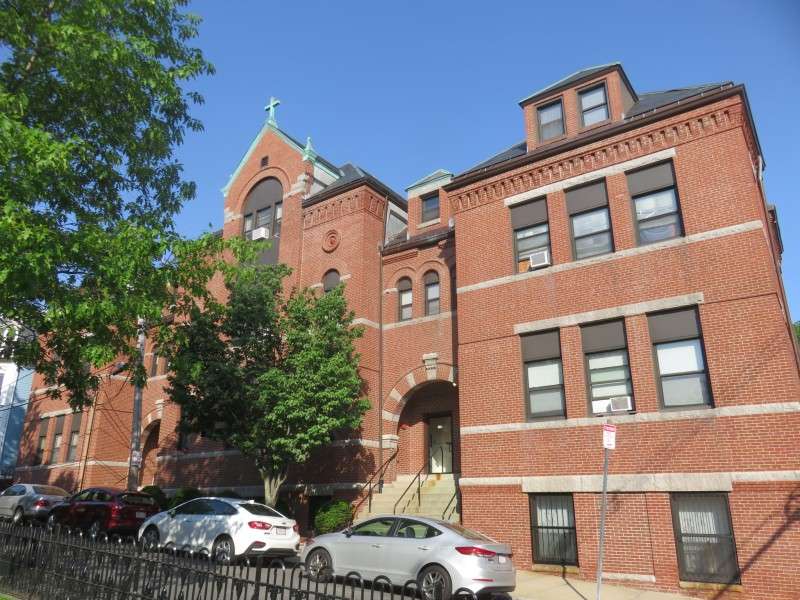
The former Our Lady of the Assumption School, on Seaver Street. The school was built in 1891, and is now used as housing.
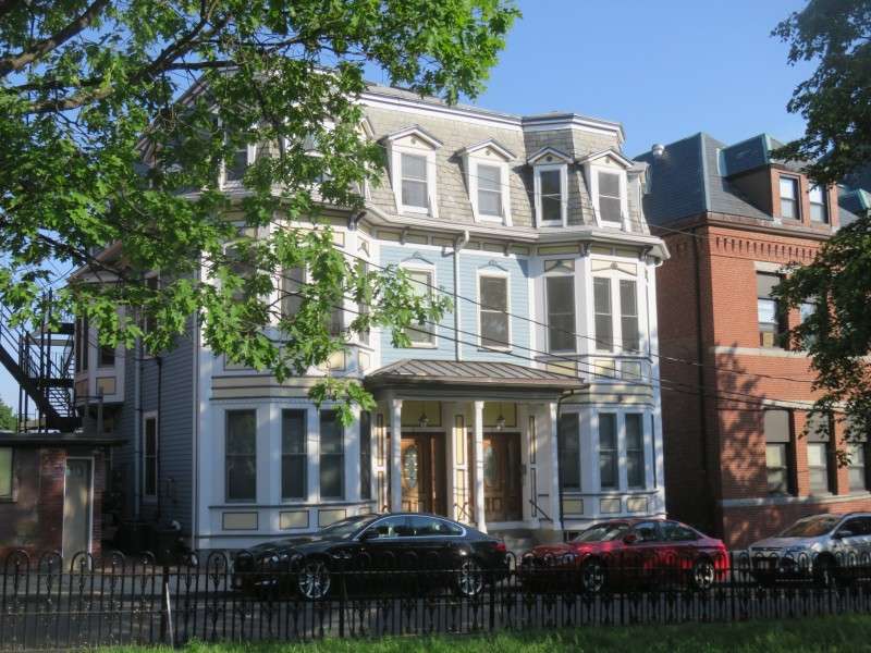
A duplex on Seaver Street, facing Brophy Memorial Park.
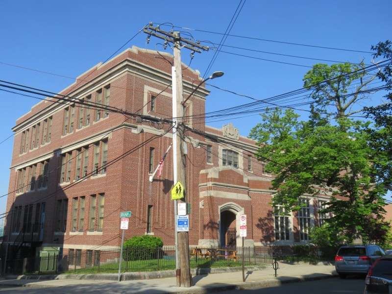
Samuel Adams Elementary School, on Webster Street. The school was built in 1910.
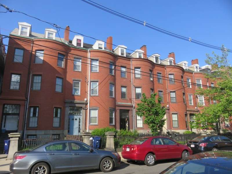
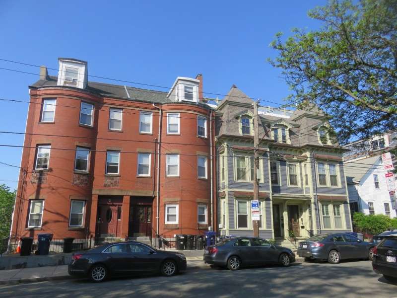
Rowhouses on Webster Street.
Rowhouses on Webster Street. The houses were built between 1847 and 1852 in a Greek Revival style, and are similar to those in Beacon Hill or Charlestown. The houses were originally meant for professionals and businessmen.
Houses on Lamson Street, facing Brophy Park.
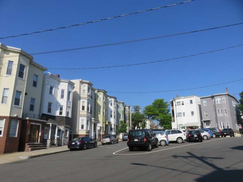
Houses on Sumner Street.
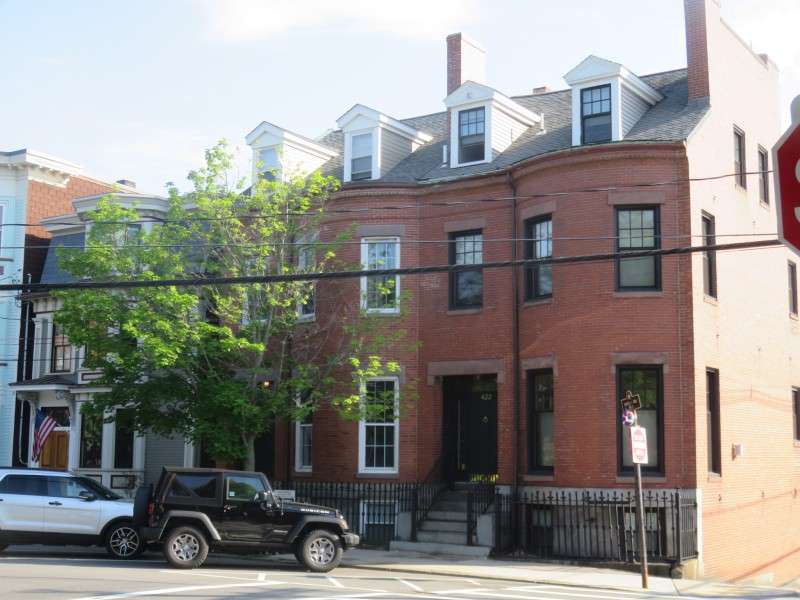
Houses on Sumner Street.
Houses on Sumner Street.
Looking up Webster Street from Sumner Street. The triangle formed by the meeting of the two streets is McCormack Square, and rather than being a public park, it is used by the neighborhood for parking.
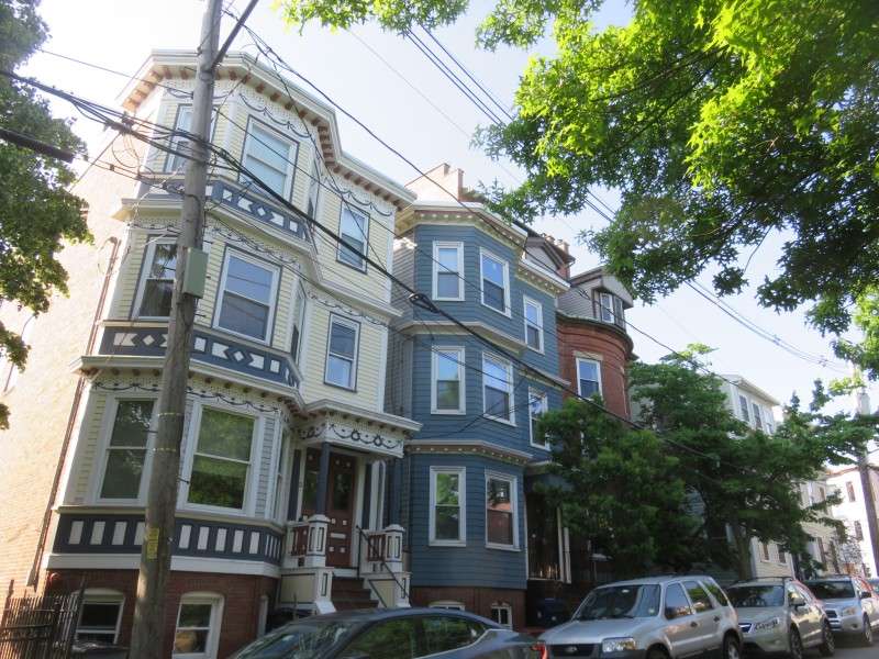
Houses on Webster Street.
Houses on Webster Street.
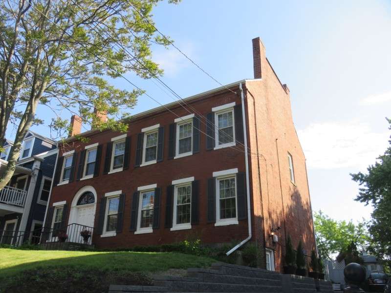
A house on Webster Street, built in 1830.
Houses on Webster Street.
A house on Webster Street, built in 1895.
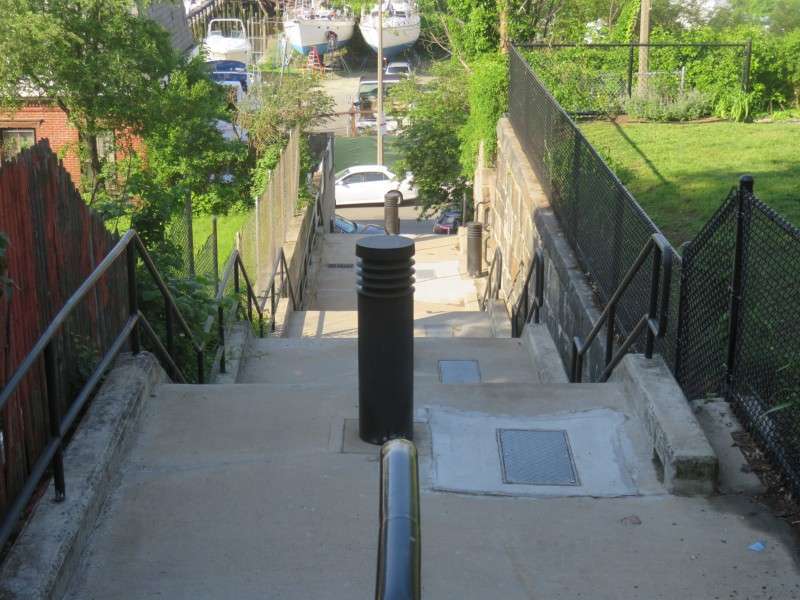
At the foot of Ruth Street is the Golden Staircase. These stairs were so named because they were the final climb to a golden opportunity in America for immigrants that landed in Boston.
Next to the Golden Staircase, along Ruth Street, is Golden Stairs Park.
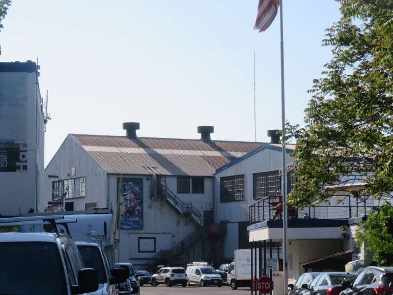
On the east end of Marginal Street is the Boston Harbor Shipyard & Marina.
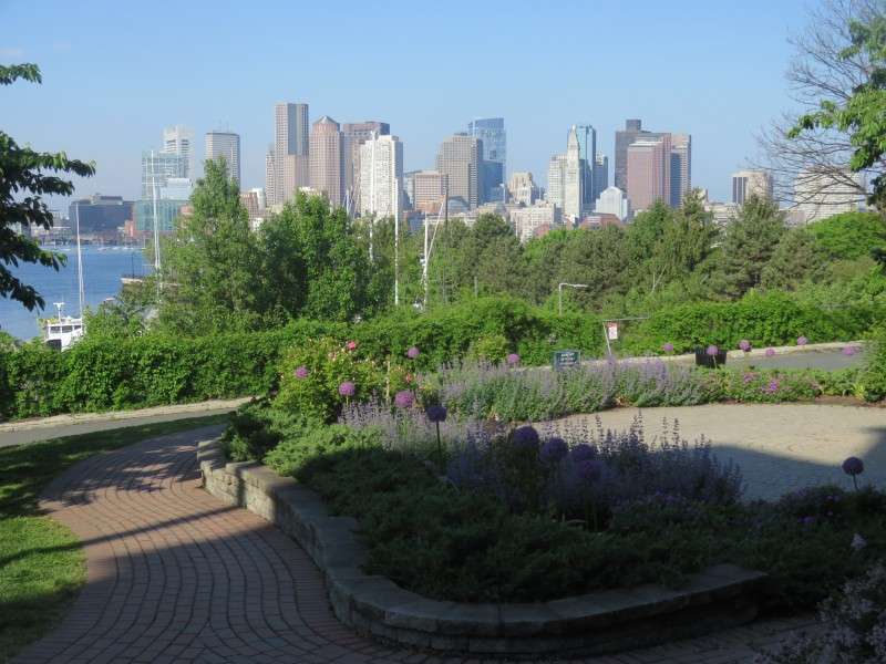
Piers Park, along the harborfront on Marginal Street. The seawall for the park was built in 1870. The park was completed in 1996, and was previously the debarkation point for the Cunard Steamship Line, which brought European immigrants from Liverpool, England. The park replaced Wood Island Park, designed by Frederick Law Olmsted, which was torn up for an extension of Boston Logan International Airport.
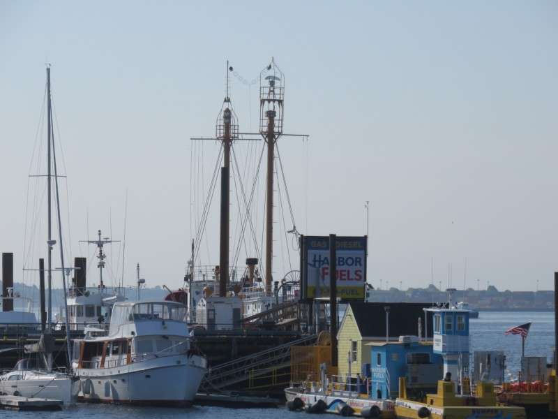
"Nantucket", or Lightship #112, located at the end of a pier off of Marginal Street. The ship was built in 1936 in Wilmington, Delaware. It replaced another lightship call the "Nantucket", which was sunk when hit by the RMS Olympic. The Nantucket served until 1983.
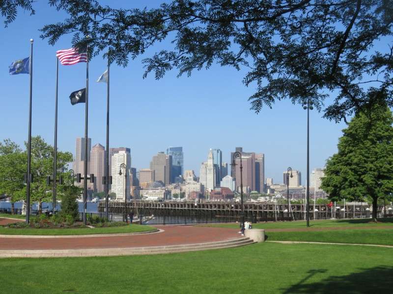
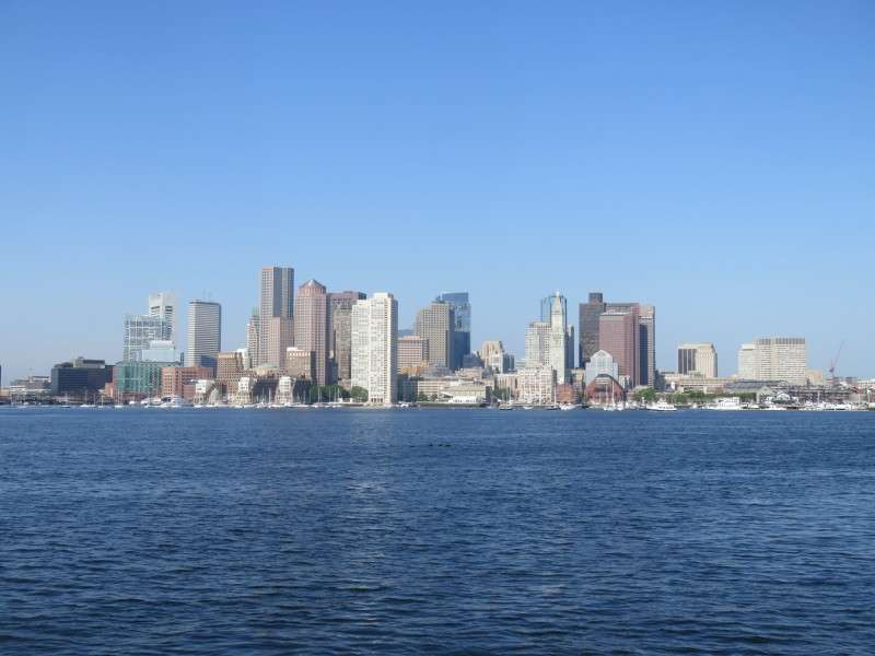
An excellent view of the Boston skyline is provided at Piers Park.
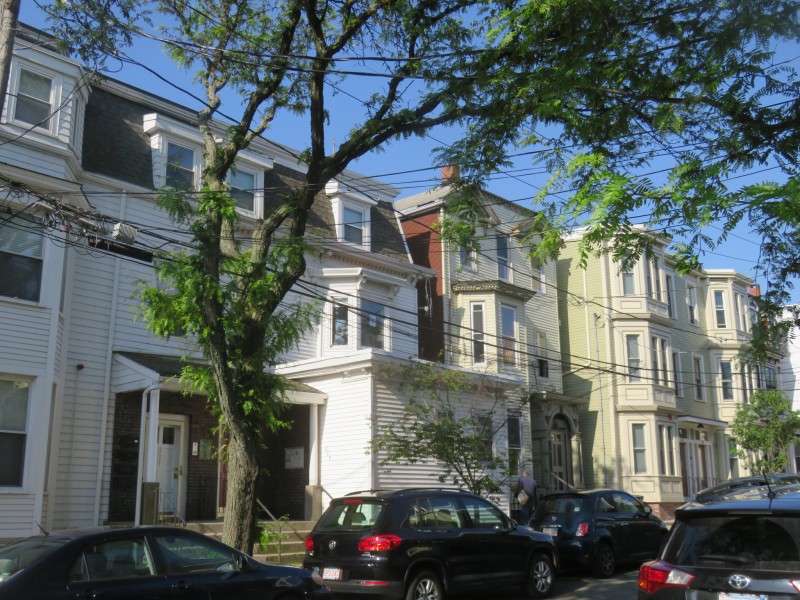
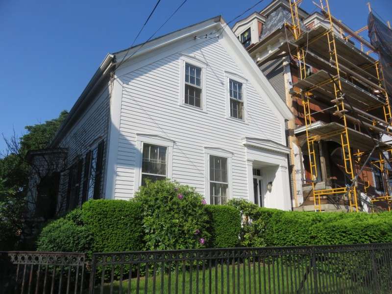
Houses on Cottage Street.
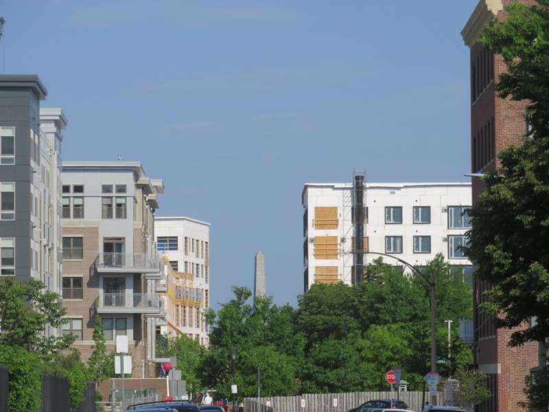
The Bunker Hill Monument, located in the Charlestown neighborhood and at 221 feet tall, is visible from Marginal Street.
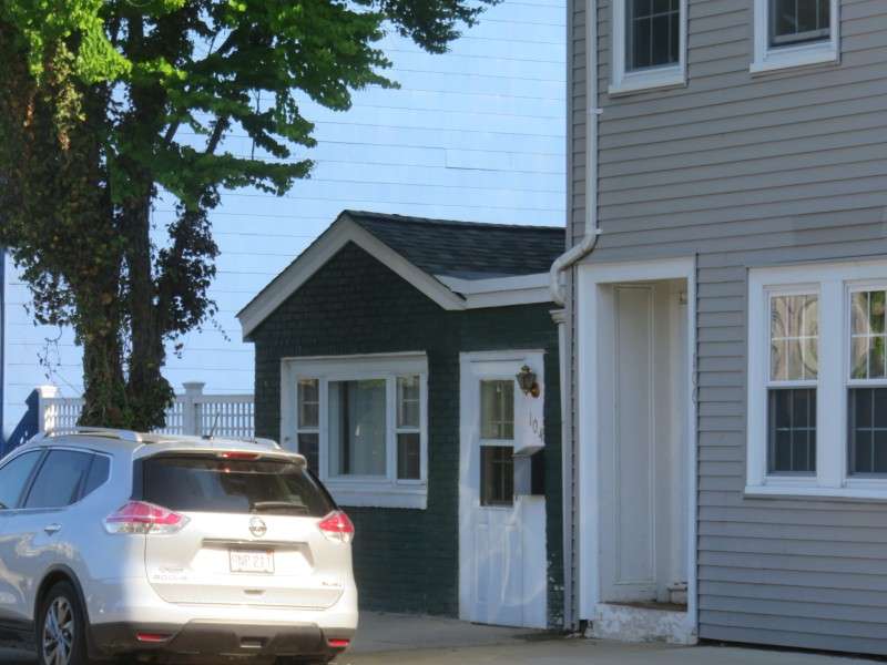
A tiny house on Marginal Street.
A house on Haynes Street.
The Immigrants Home, on Marginal Street. The structure was built in 1912, and provided social services for immigrants who arrived to the United States in the neighborhood.
A mixed-use building on Orleans Street.
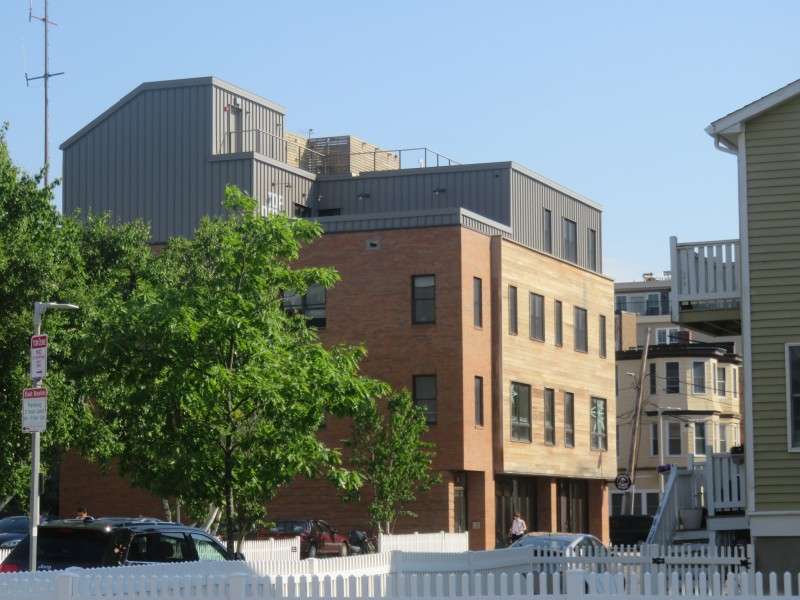
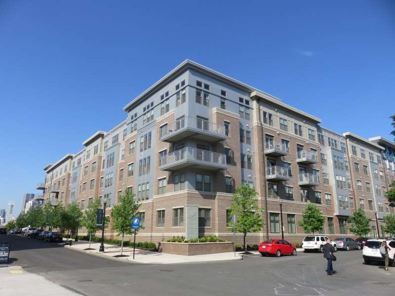
Portside At East Pier apartments, at Bremen & Marginal Streets.
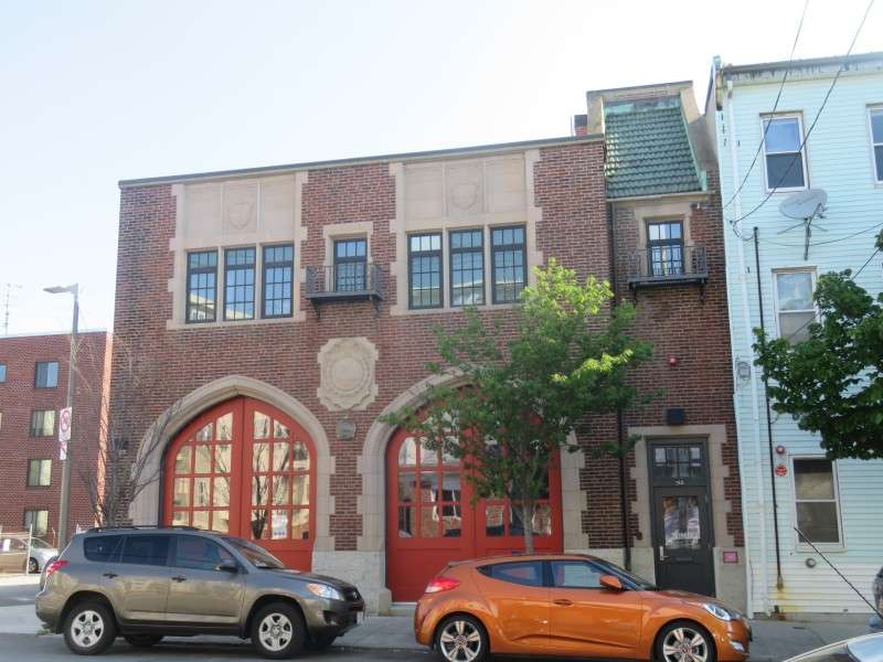
Condos on Sumner Street, inside a firehouse built in 1920.
Houses on Sumner Street.
An apartment building on Orleans Street.
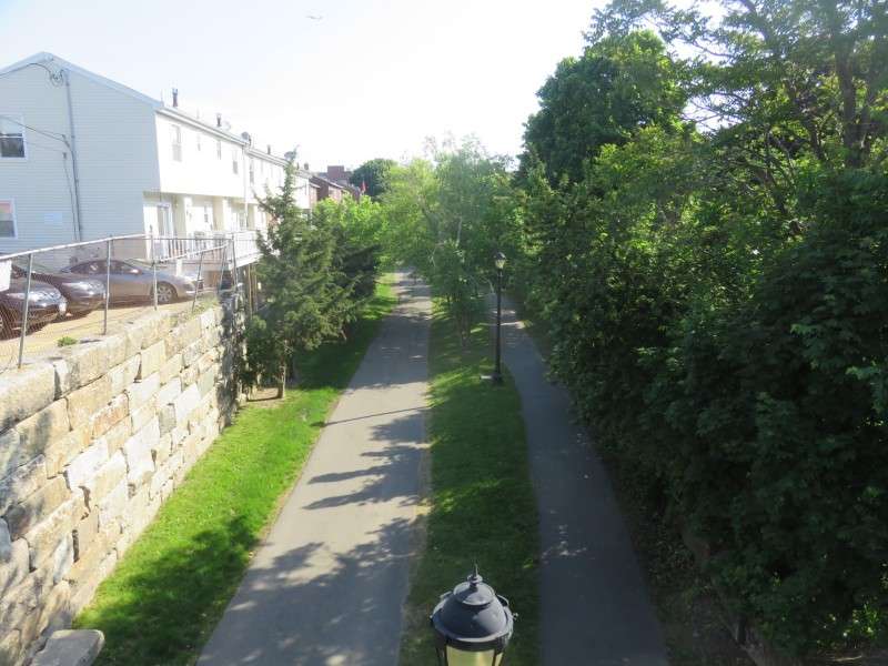
Near the western border of the Jeffries Point neighborhood is the East Boston Greenway. The Greenway was originally a rail line for the Grand Junction Railroad and Depot Company. The Greenway was constructed in 1999 and opened in 2007.
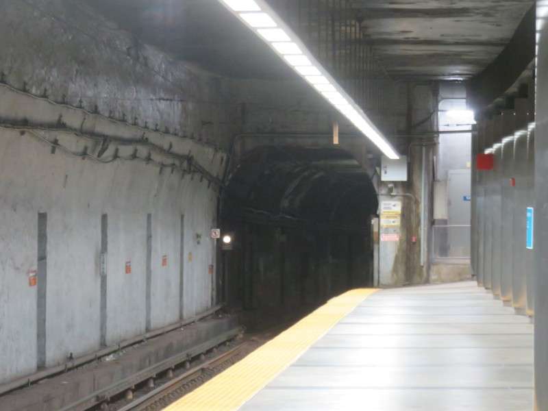
The Maverick T Station on the Blue Line, at Maverick Square, marks the western edge of the neighborhood. The railroad tunnel was completed in 1904, and when finished, it was the largest diameter and longest submarine railroad tunnel in the world. Subway service replaced light rail service in 1924.


 Threaded Mode