Previous Potomac River threads:
Pt 1: Georgetown & Alexandria waterfronts, and ferry ride to ballpark | Sept, 2012
Pt 2: Tidal Basin cherry blossoms | April, 2013
Pt 3: National Mall & Memorial Bridge | May, 2013
Pt 4: North & south of DC, incld Great Falls, Nat'l Harbor, Yards Park | June, 2013
Part 5: Chain Bridge Flats, Roosevelt Is., Ft Washington & the Anacostia:
Over the last year I've been exploring the Potomac River in and near Washington. Today I'll show you pictures from this summer, including locations in DC and Maryland.
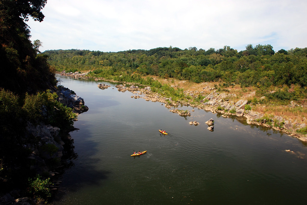
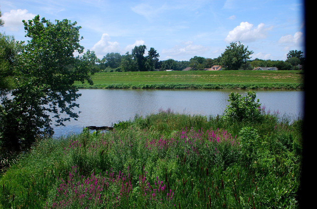
The first stop is the
Chain Bridge Flats, a swampy and little-known bank of land beneath the
Chain Bridge, near DC's northern border with Maryland.
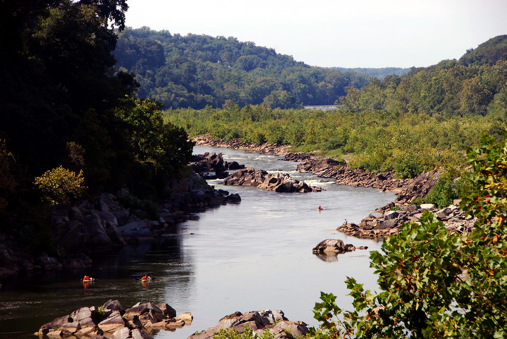
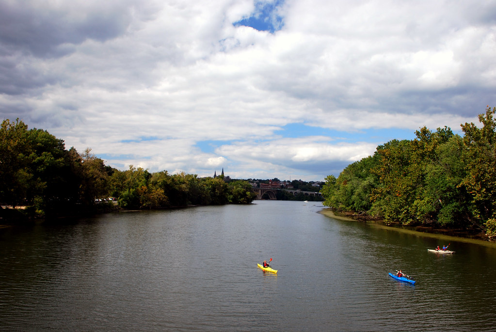
Here's the river, from the flats. That's Chain Bridge off in the distance:
 click for larger pano
Chain Bridge up close:
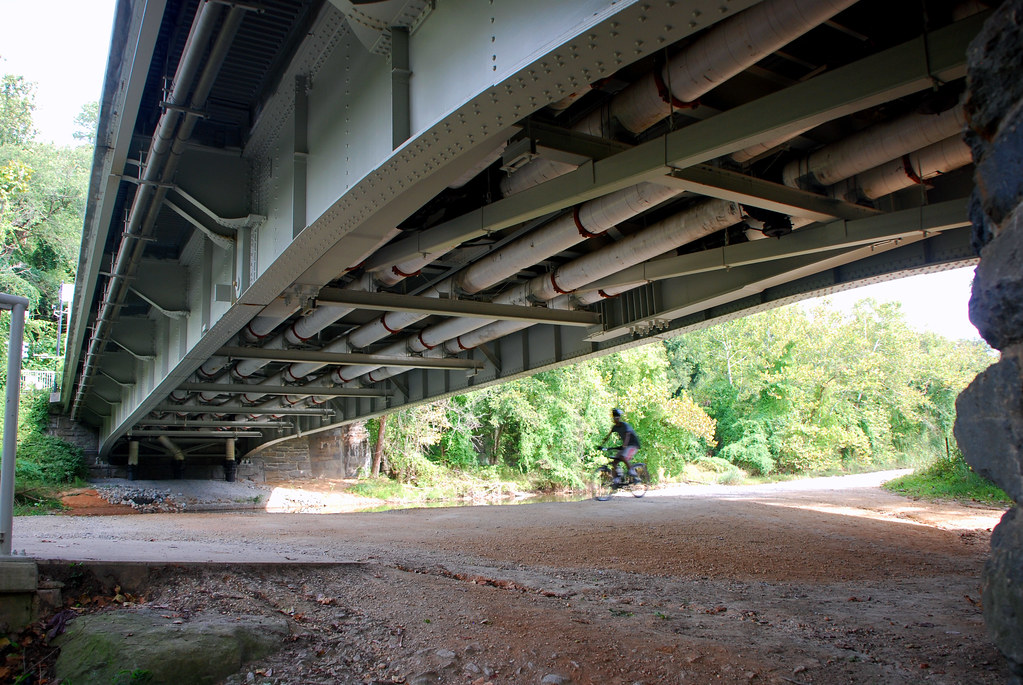
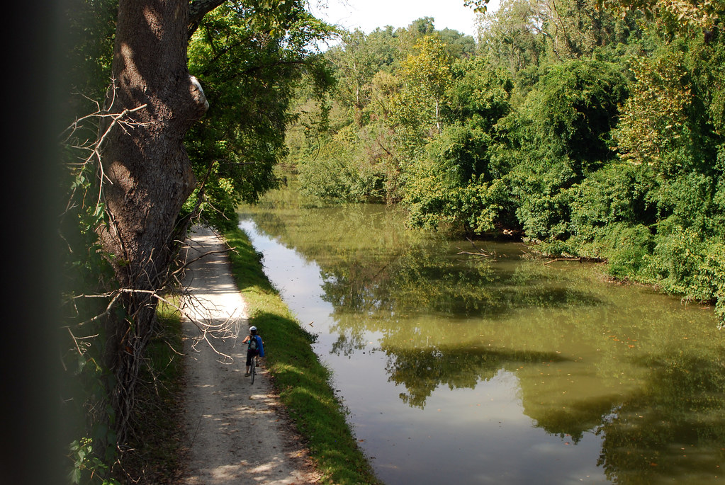
The C&O Canal, which is lined with a popular regional trail, runs along on the DC side of the river, and is a great way to get up or downstream on foot or bike. Here it is passing under the Chain Bridge:

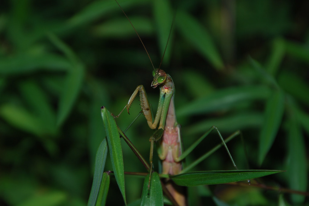
Oh hai, Mr. Mantis:
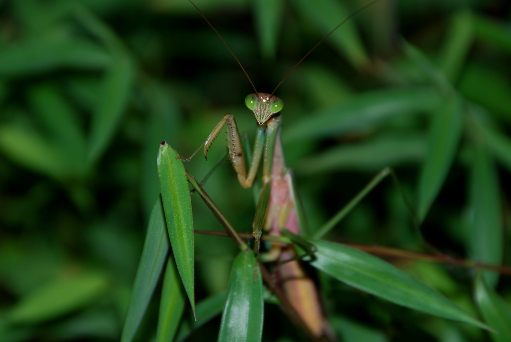
Yes, you're very intimidating.
There were more C&O Canal pictures in
part 4 of this photo series.
Walking up onto Chain Bridge one gets a great view of the flats themsevles:
All right. Let's move on, into the central city, to
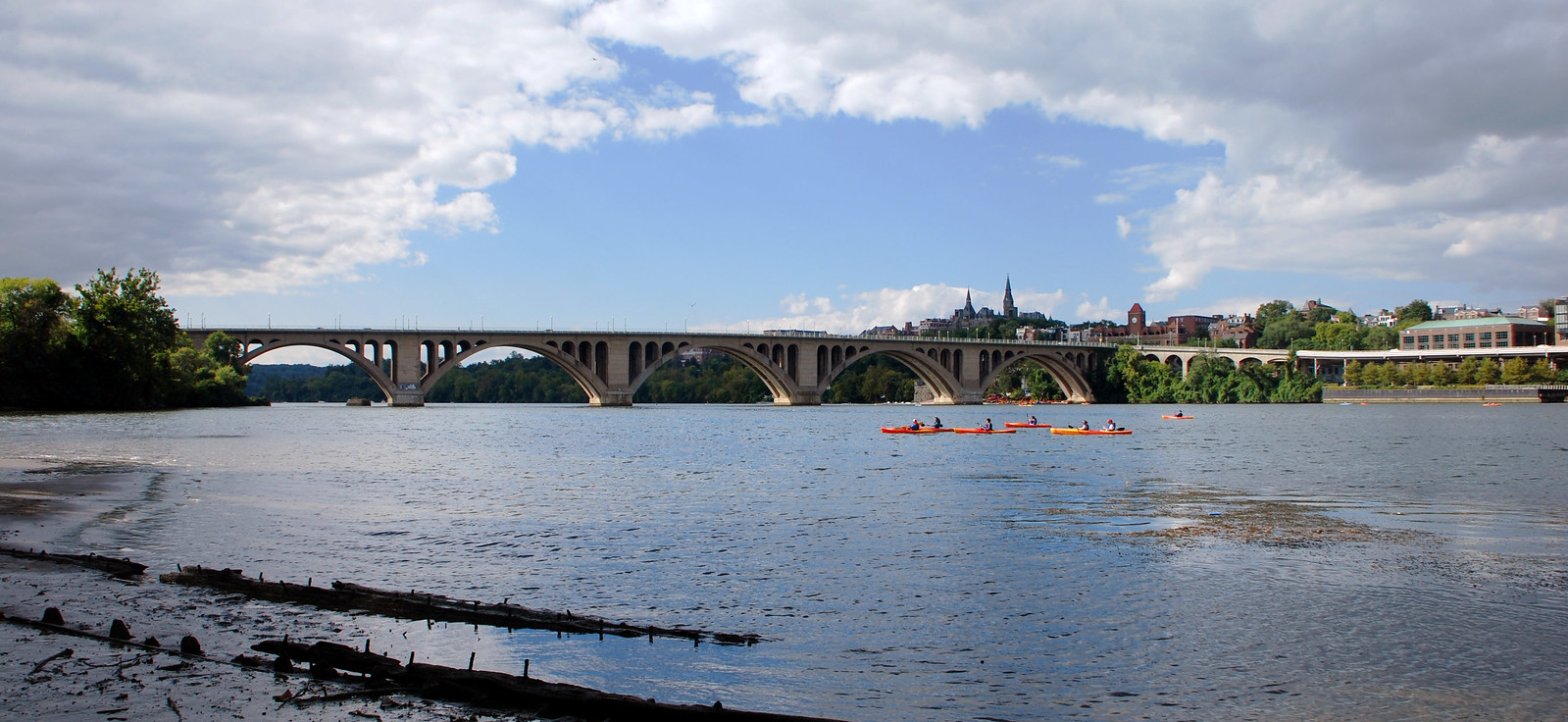
Roosevelt Island and Key Bridge.
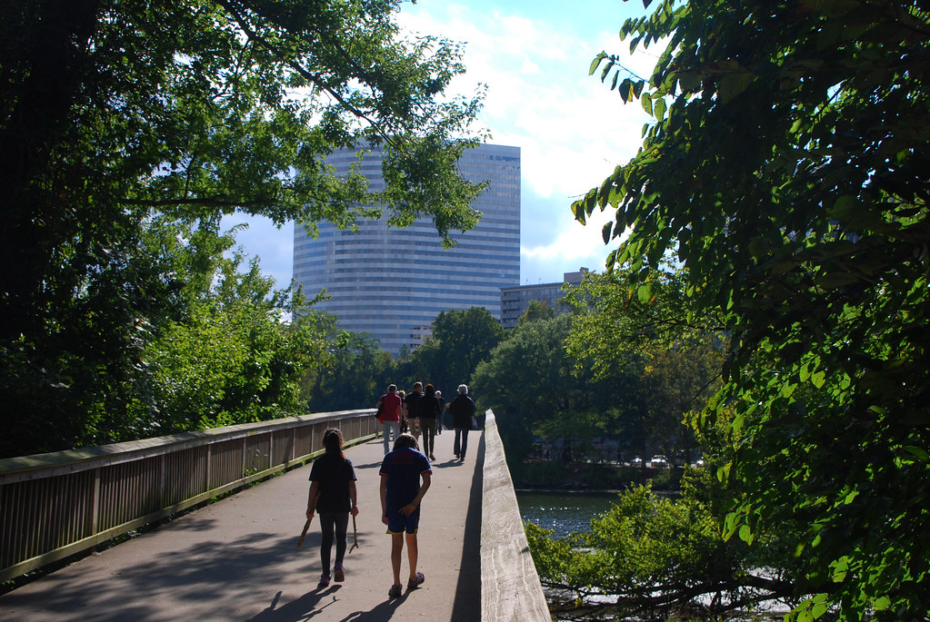
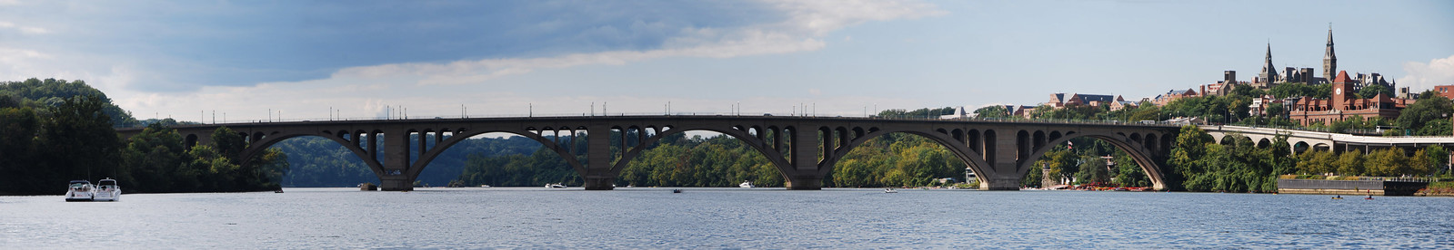
Roosevelt Island is an undeveloped wooded island right smack in the middle of the city, between Georgetown and Rosslyn, VA. The only way to get there, besides boat, is to cross the
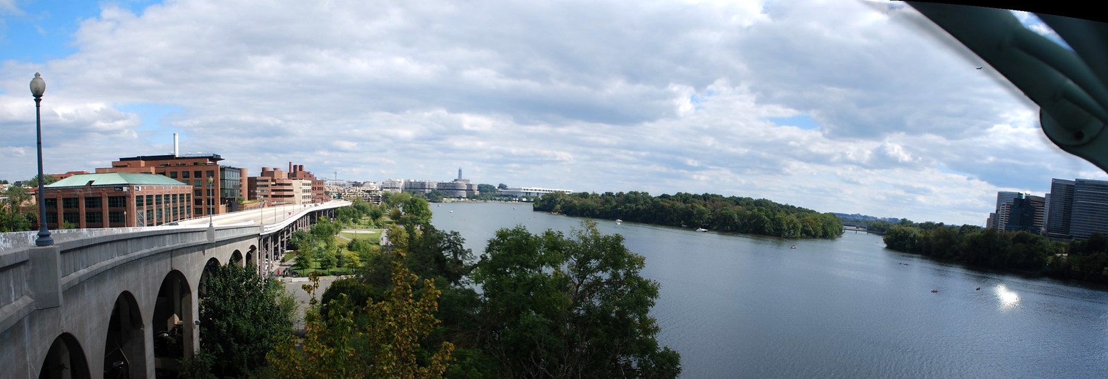
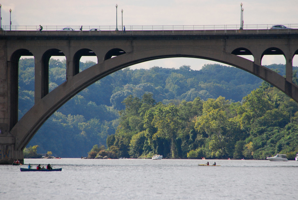
Key Bridge and then walk or bike along the Mt. Vernon Trail, where there's a little ped bridge from Virginia onto the island. The walk from Georgetown is lovely, because you get fantastic views from Key Bridge. So let's do that. Here's the top of the bridge, standing in Georgetown, looking towards Rosslyn. The pyramid-topped building you see is 1812 North Moore Street, which at just a hair below 400' tall is the tallest building in the DC region (not counting the Washington Monument).

 click for larger pano
View from the bridge, with Roosevelt Island in the middle:
 click for larger pano
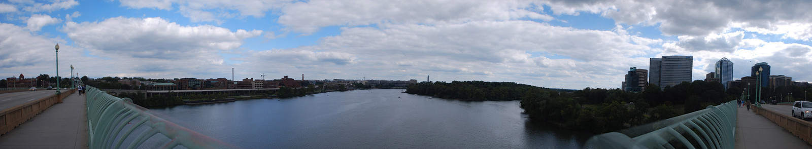 click for larger pano
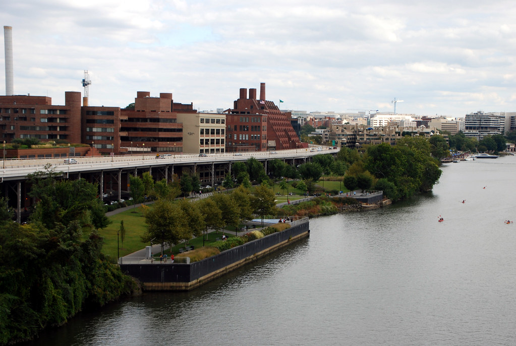
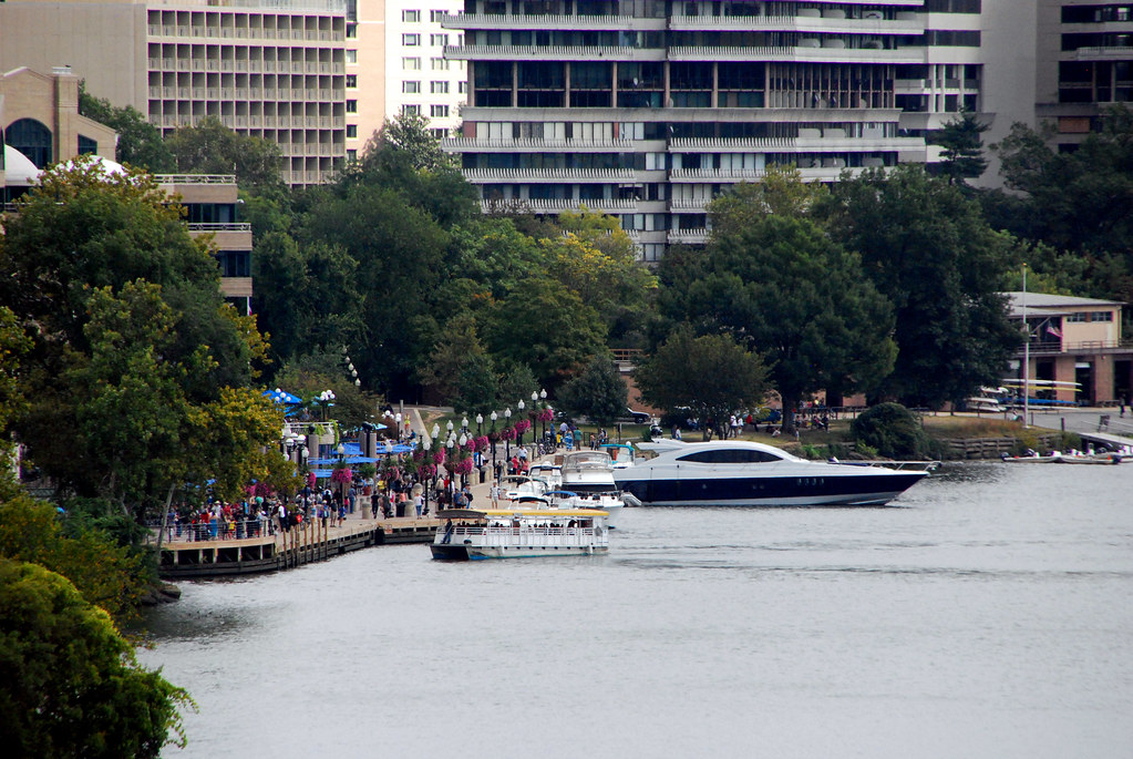
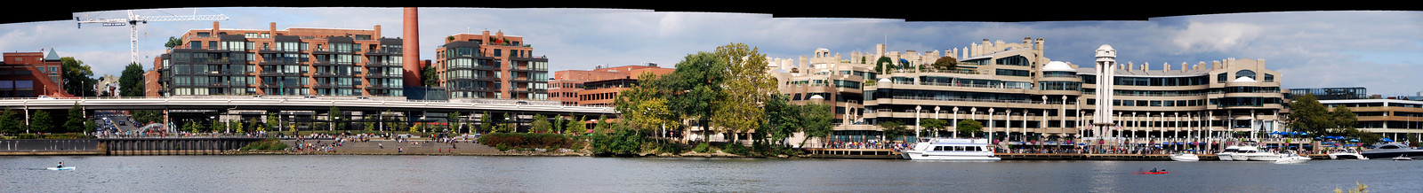
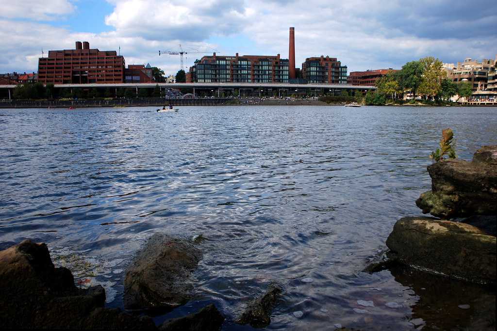
From the bridge, here's Georgetown's waterfront. Pictures from the waterfront were in
part 1.
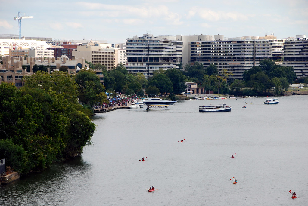
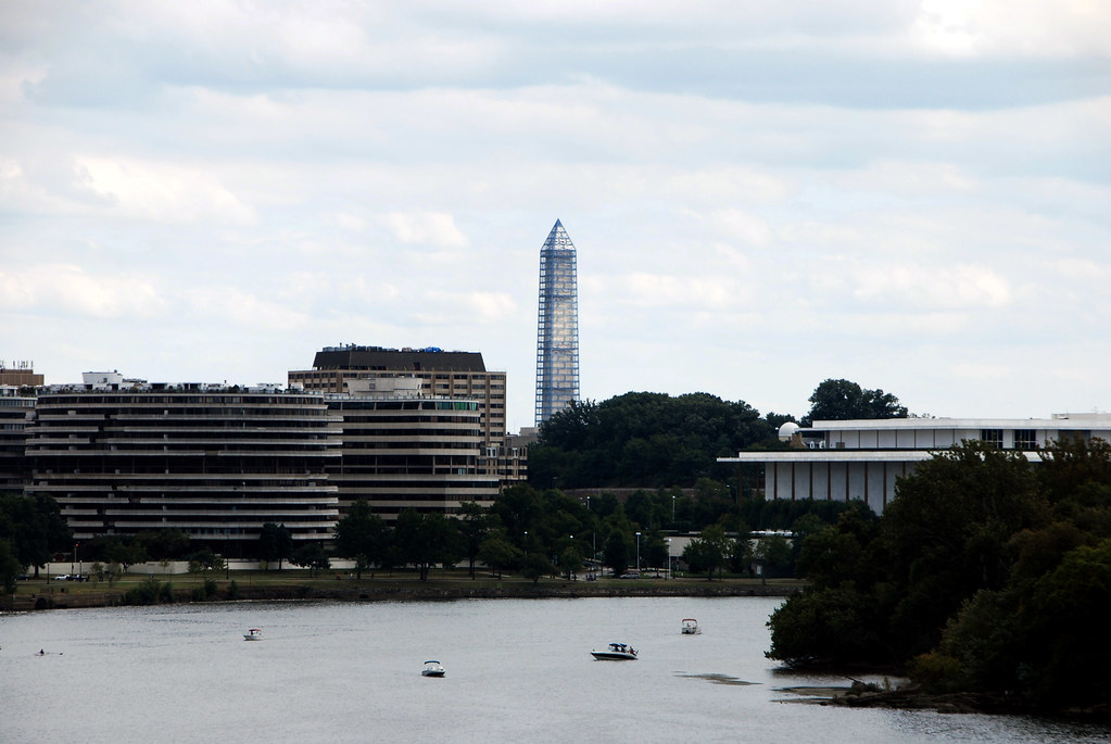
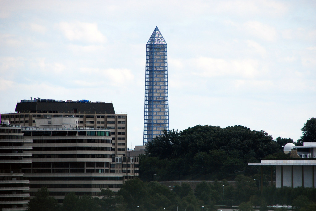
The Watergate, Kennedy Center, and the Washington Monument covered in scaffolding.
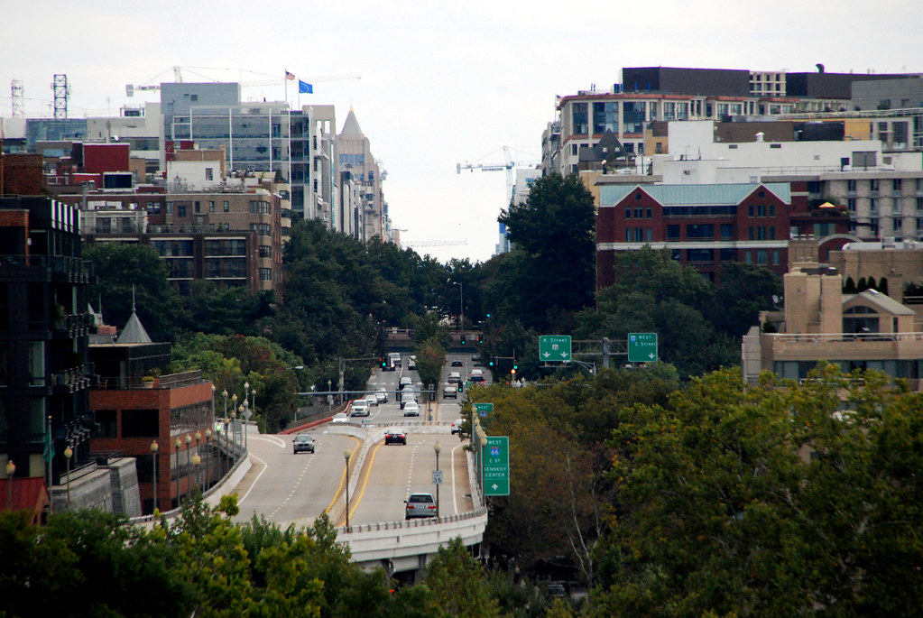
Looking east into downtown DC:
Does your city have a
love lock bridge? DC doesn't really, except for a few along Key Bridge.

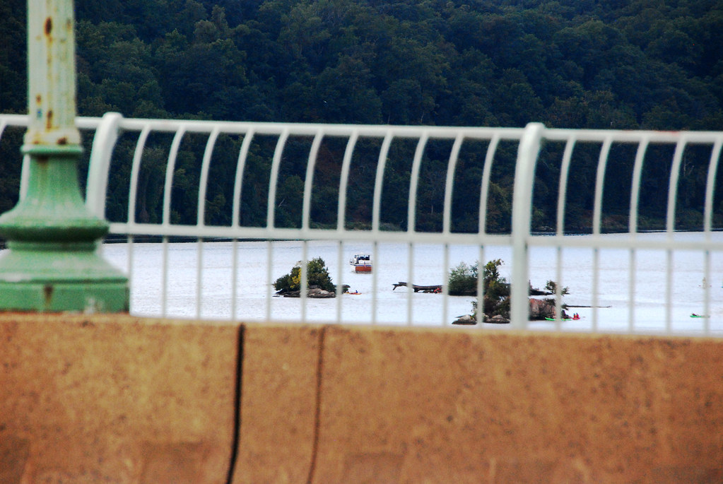
Looking upstream from the bridge, one can see the 3 Sisters Islands. These are famous because of the 3 Sisters Curse, which goes like this: One day before Europeans came to America, 3 Algonquian princesses drowned while crossing the river at this spot, and were turned into the rocky islands. When their father the chief found out, he cursed the river, proclaiming no one would ever again cross at that location. The curse is particularly famous because throughout American history there have been several attempts to build a bridge above the 3 Sisters, all of which have failed.
The most recent attempt was during the Interstate-building era, for a spur of I-66. That bridge was finally cancelled in 1970.

[i]Public domain image from DDOT.[/url]
OK, enough of the bridge. Let's work towards Roosevelt Island. From Rosslyn, one walks down the Mt Vernon Trail a short distance, to get to the bridge onto Roosevelt Island.
Here's the channel between Rosslyn and Roosevelt Island, with the pedestrian bridge.
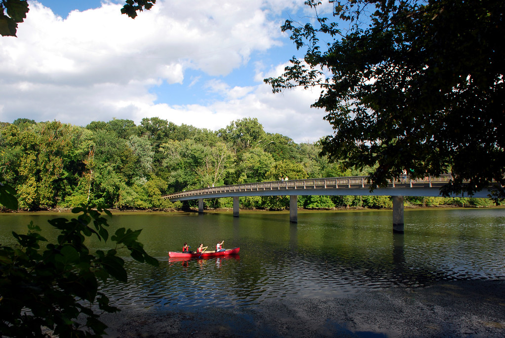
And here's the channel again, from the top of the pedestrian bridge. You can see Key Bridge and part of Georgetown in the distance.
Standing on Roosevelt Island, looking back at Rosslyn:
The island itself is mostly wooded. For the most part it isn't that interesting, especially since there are very few animals except birds. Actually, I have never seen even so much as a squirrel, much less a deer. But, for good measure, here's the woods.

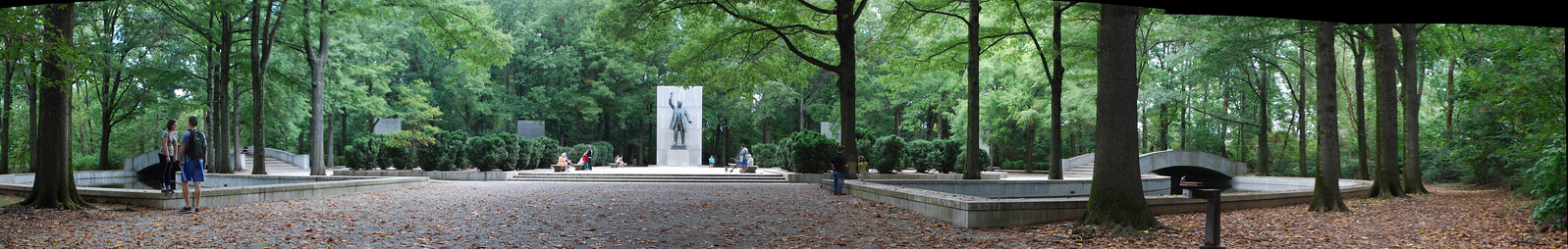
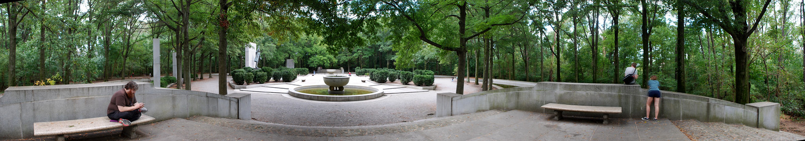
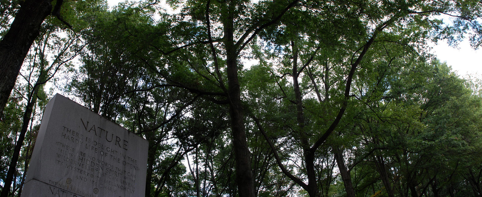
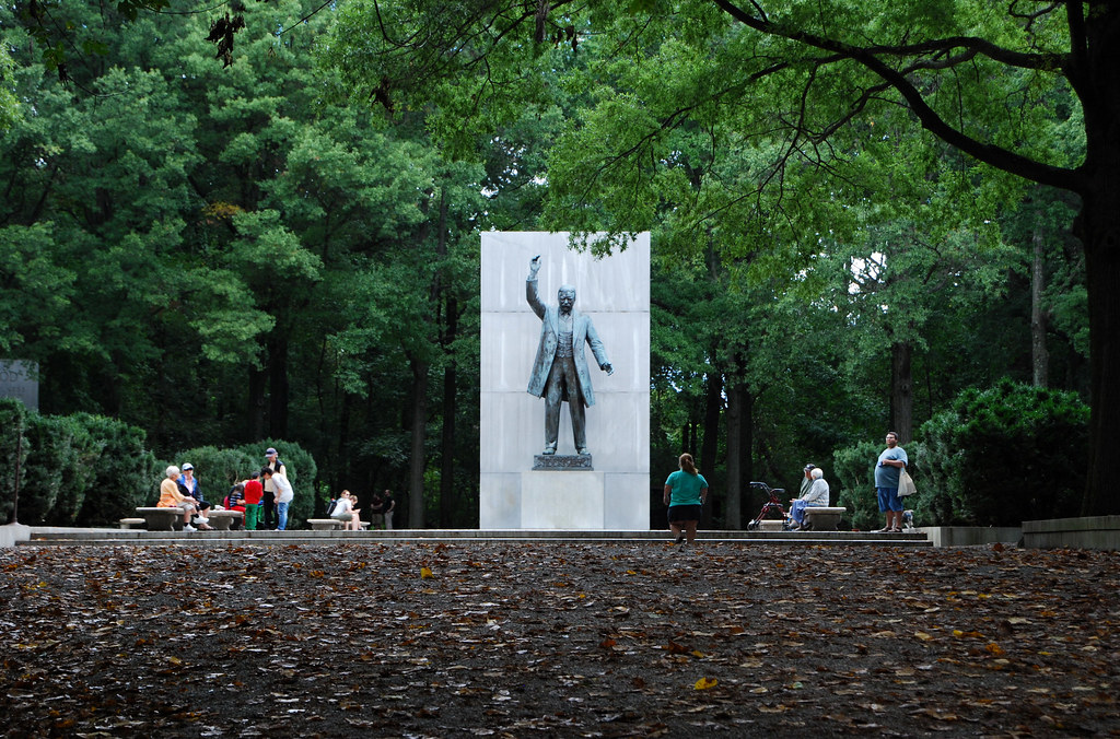
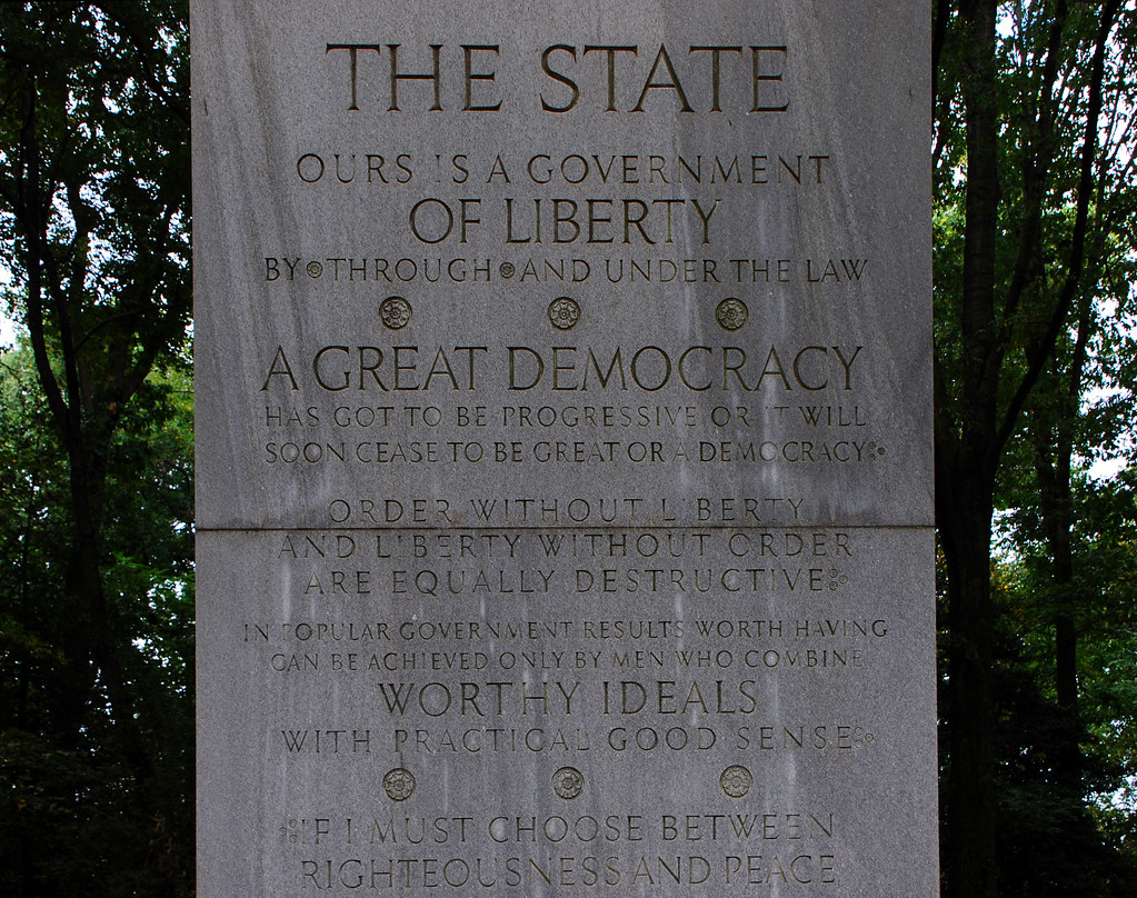
There are however 2 interesting things on the island: The Teddy Roosevelt Memorial, and the views of the surrounding city.
Here's the Roosevelt Memorial:
 click for larger pano
 click for larger pano
 click for larger pano
And the killer view:
 click for larger pano
 click for larger pano
 click for larger pano
Georgetown:
 click for larger pano
 click for larger pano
Wasn't that fun? Of course it was. Now let's head about 15 miles downriver, to
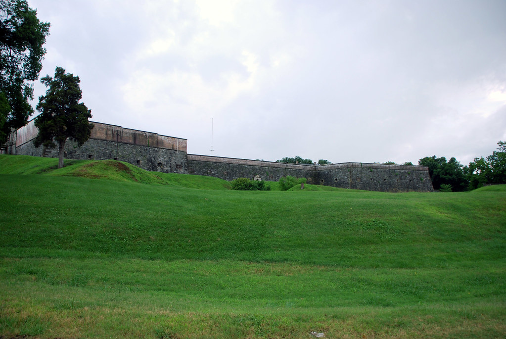
Fort Washington, Maryland.
Fort Washington is a
real fort, built in 1809 to defend Washington from naval attack. In 1946, after world War II, the fort and its surrounding land became a park.
Here it is from a plane.
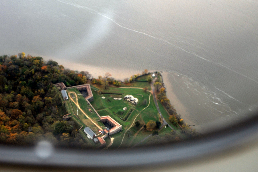
You can see why they put the fort here. Quite a commanding angle.
 click for larger pano
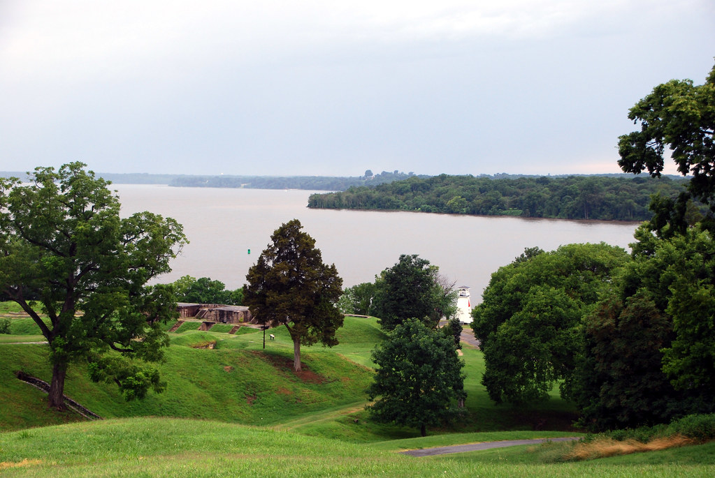
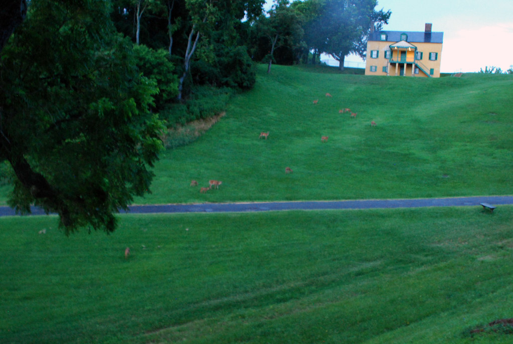
Unlike Roosevelt Island, Fort Washington is crawling with wildlife. There are deer everywhere, and they aren't afraid of people.
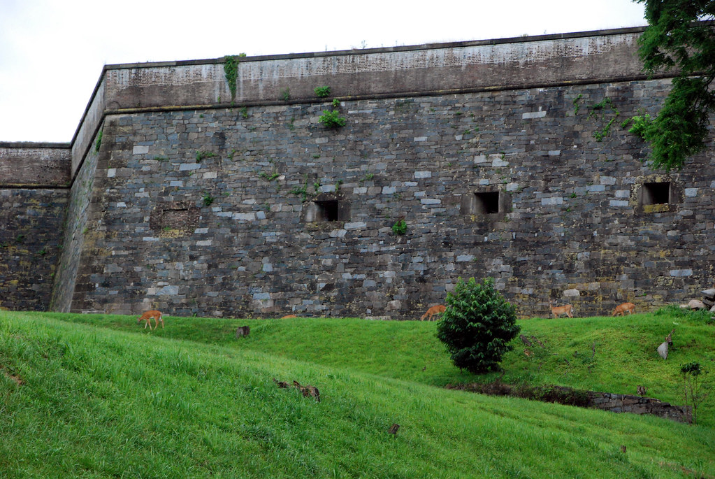

Sorry for the bad quality, but herds everywhere.
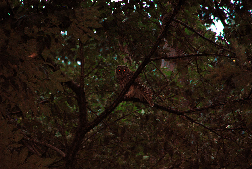
Not to mention owls.
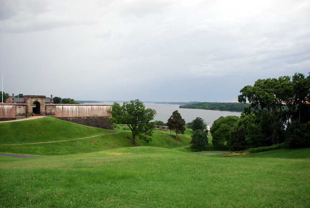
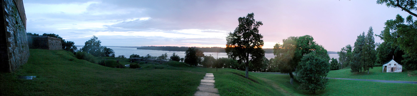
From the river bank it's a clear shot 15 miles north all the way to DC:
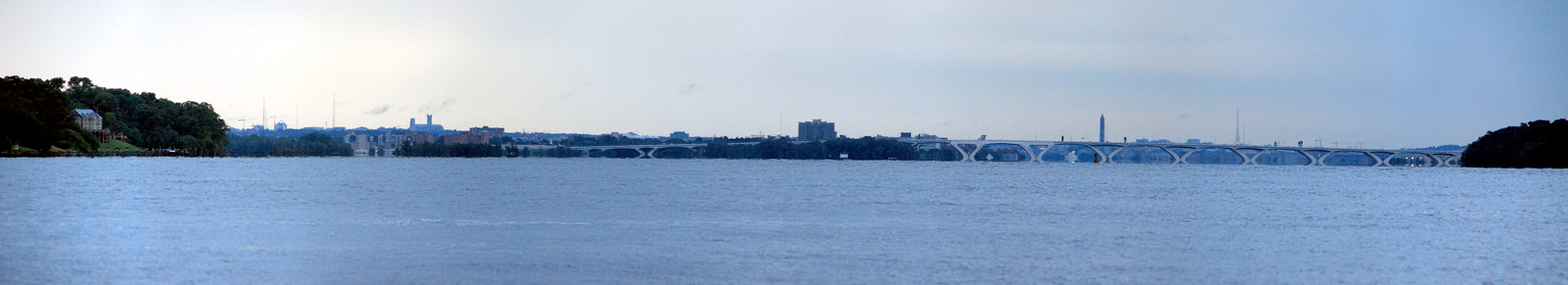 click for larger pano
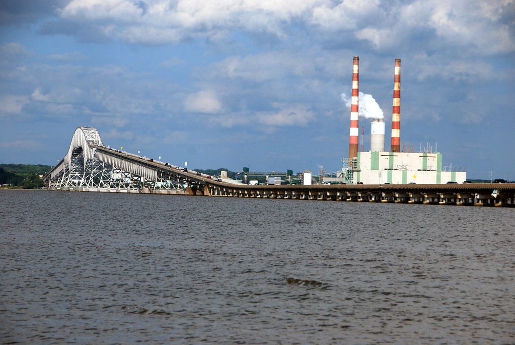
30 miles further south from Fort Washington is the
Harry Nice Bridge between VA and MD. There's a pleasant little beach on the VA side, and a somewhat less pleasant power plant on the MD side. Quick stop here and then back to DC:
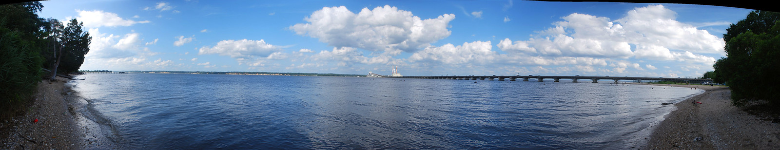 click for larger pano

OK. One more stop today, and then we're done. Back to DC, and up its 2nd river, the Anacostia, a Potomac tributary.
Actually, we're going through DC and just across its border, to
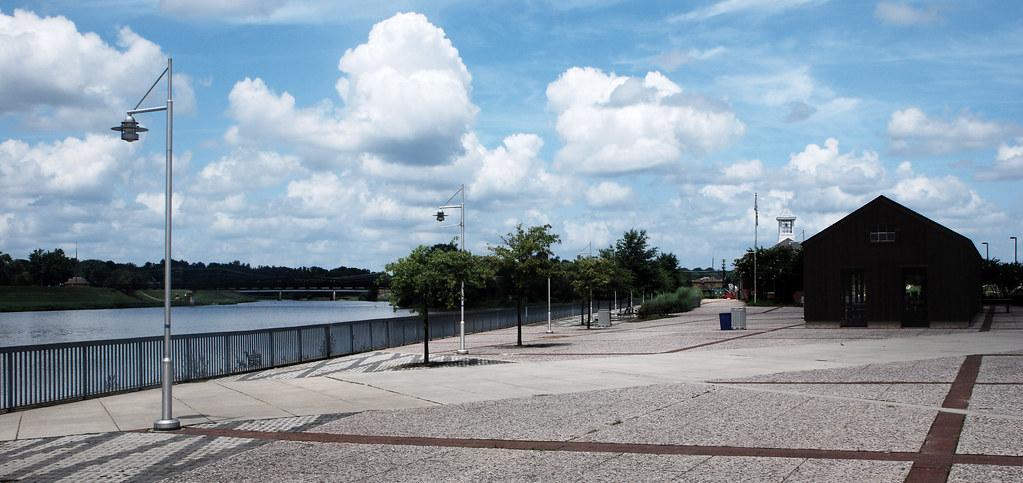
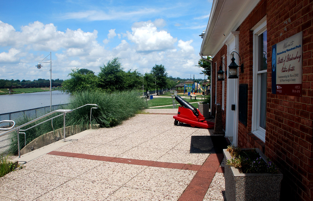
Bladensburg, MD. Bladensburg was an important port town during the colonial era, and might have grown to Alexandria or Georgetown size had its harbor along the Anacostia not silted up. During the War of 1812 Bladensburg was still a strategic location, and was the location of a crucial battle between the British and Americans. It was one of America's worst defeats of the war. By the turn of the 19th Century, the river wasn't deep enough for ocean-going ships anymore, so Bladensburg declined. Now it's an unimportant suburb, except it has a nice waterfront park.
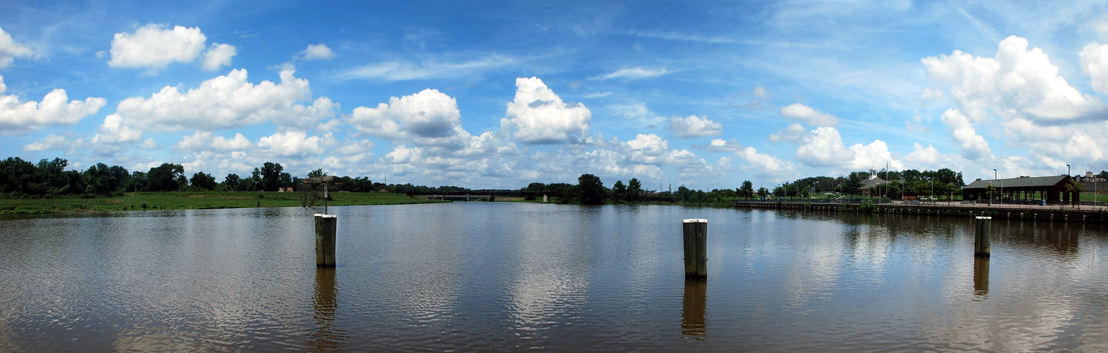 click for larger pano

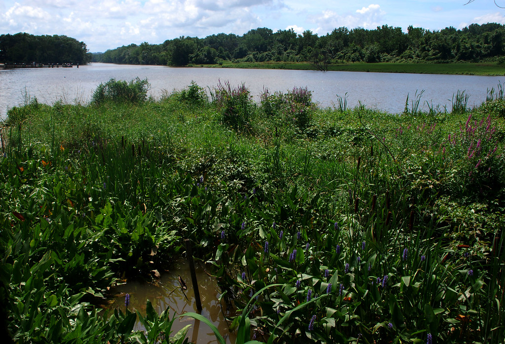
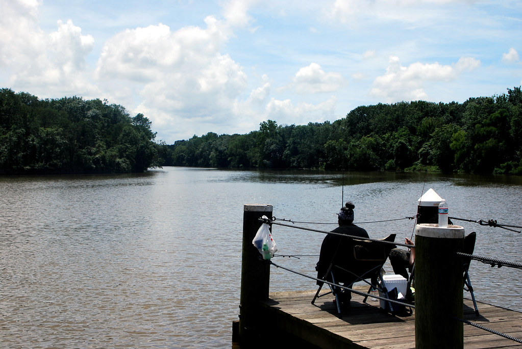

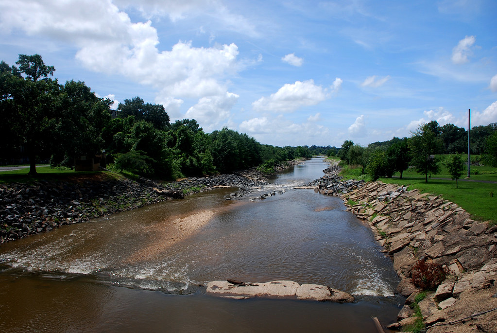
Just north of Bladensburg the river splits 3 ways. Each of the branches is called a stream, so that's the official end of the Anacostia River. The branches all pretty much look the same. Here's one of them, Northeast Branch.

And that's all for now. As a parting shot, here's a stained glass George Washington.


 Linear Mode
