Quote:
Originally Posted by Mazrim

This will never happen. I can guarantee you that traffic lights on the mainline of Stoney will never happen again. The ones on Anthony Henday, and the ones initially done at Harvest Hills Boulevard and 17th Avenue were short lived solutions (<5 years), so there is absolutely no point in pursuing this.
|
That's my entire point.
We decided what, how and where we are going to build before we proved we needed it in the first place.
These were decided in principal decades ago with minimal reconsideration at any alternatives. Calgary didn't have a C-train, LRT wasn't heard of when we came up with this thing. Condominums weren't either. Calgary had 1/3rd the population it does today when the Ring Road idea was first floated. People live in areas and ways in this city that weren't on any map or plan until decades after this idea was agreed on. "We need a full ring and god-damn-it we will have one!" was the attitude.
These shaky underpinning are the foundation of the entire SWRR project.
But that is not the only problem. Now, that we have decided to go ahead, we decided to build at a certain standard without thinking about what standard is actually required to offer an acceptable benefit. The assumptions - as they are shaky anyways - are merely adjusted to fit this standard, not reality or alternatives we could look at.
You could build lights at every intersection and it would still offer a big improvement by the logic of these underpinnings; if the route is
so much better, important and correct above all alternatives that are possible, that we have been blindly following it on a plan for 50 years, it will offer enough benefit to build it and upgrade as needed.
That doesn't cost $5B.


 Prev
Prev


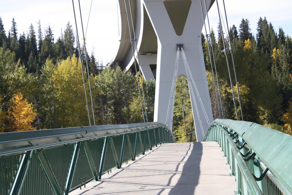 photo by Peter
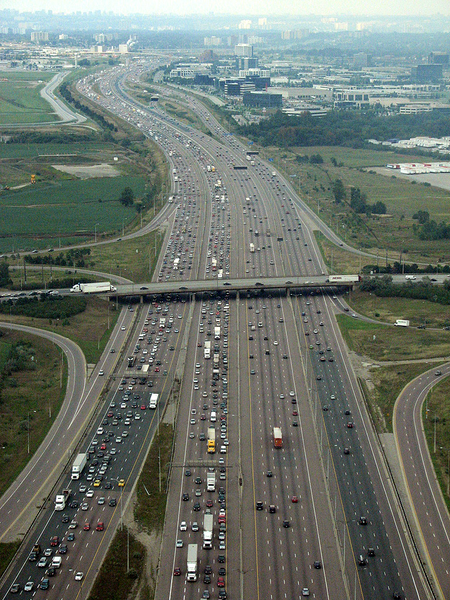


 Linear Mode
