Vík í Mýrdal, commonly called Vík, is the southernmost village in Iceland, and is within the municipality of Mýrdalshreppur. The population is around 300.
The village sits in the Mýrdal Valley, downhill from the Katla volcano. In earlier decades, Vík was a fishing village, despite not having a harbor. Today, Vík is an important stopping point on Hringvegur, or the Ring Road, which circumvents the entire nation.
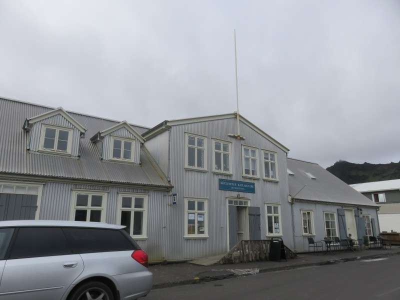
Kötlusetur, on Vikurbraut. The structure was built in 1831 on Vestmannaeyjar (Westman Islands), and was moved to Vík in 1895.
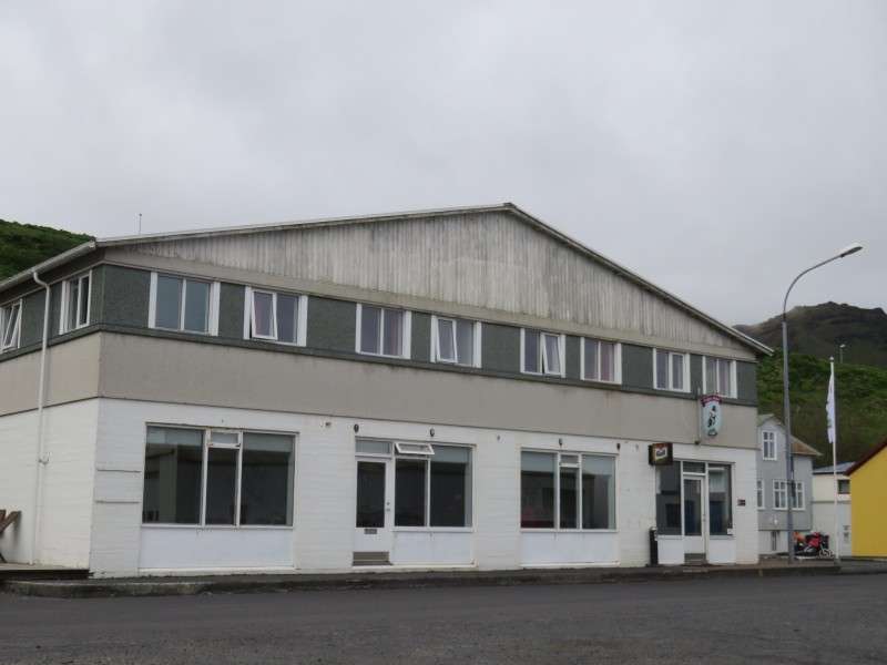
The Puffin Hotel, on Vikurbraut.
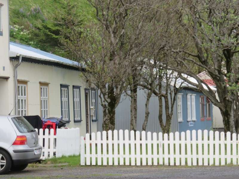
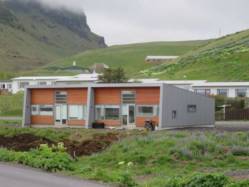
Hostel cottages on Vikurbraut.
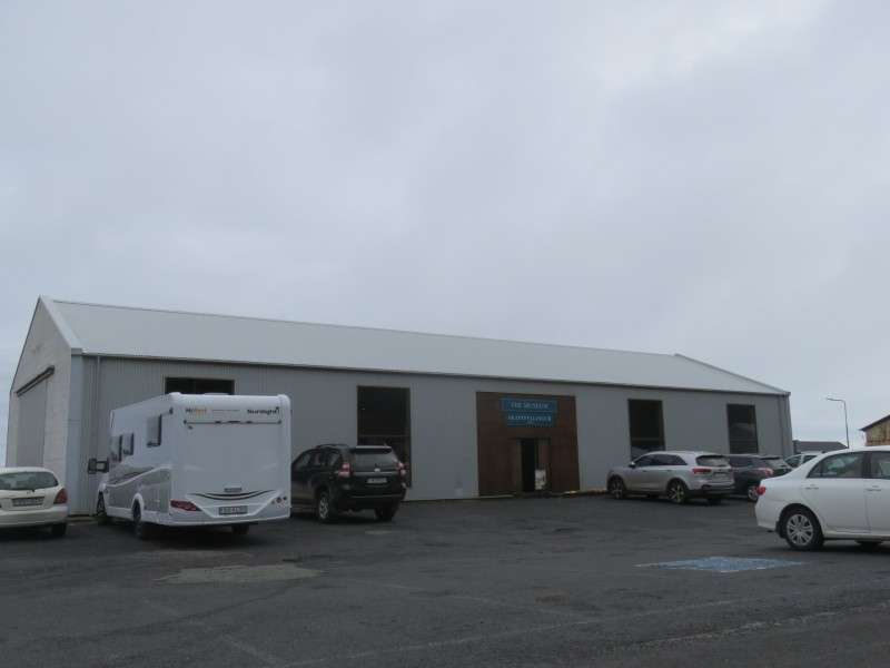
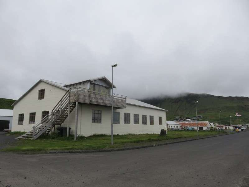
The Skaftfellingur Museum, on Vikurbraut. The museum features a wooden cargo ship that dates back to 1918.
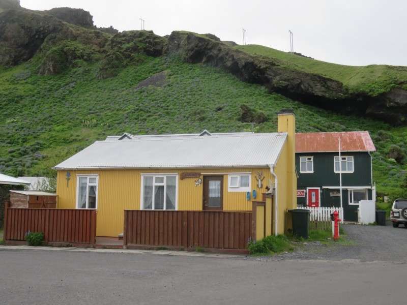
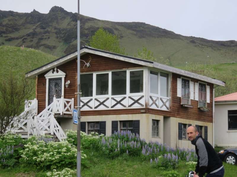
A house on Sunnubraut.
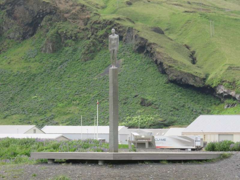
"För", or "Voyage", facing out onto the beach. The statue was dedicated in 2006, and commemorates the Cod Wars from the 1950s to 1970s, when there was tension between Iceland and Great Britain over cod fishing off of Icelandic waters. A sister statue is located in Hull, England, and the two statues face each other.
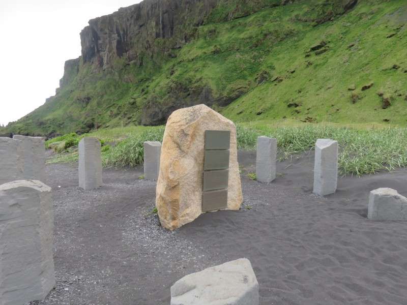
Deutsches Seemannsdenkmal, or Gedenkstein Islandfischerei, meaning the German Sailor Monument, at the end of Mánabraut. The monument was dedicated in 2002, in collaboration with the German navy museum in Bremerhaven. The monument is dedicated to the more than 1,000 seamen who lost their lives on German fishing boats off the Icelandic coast.
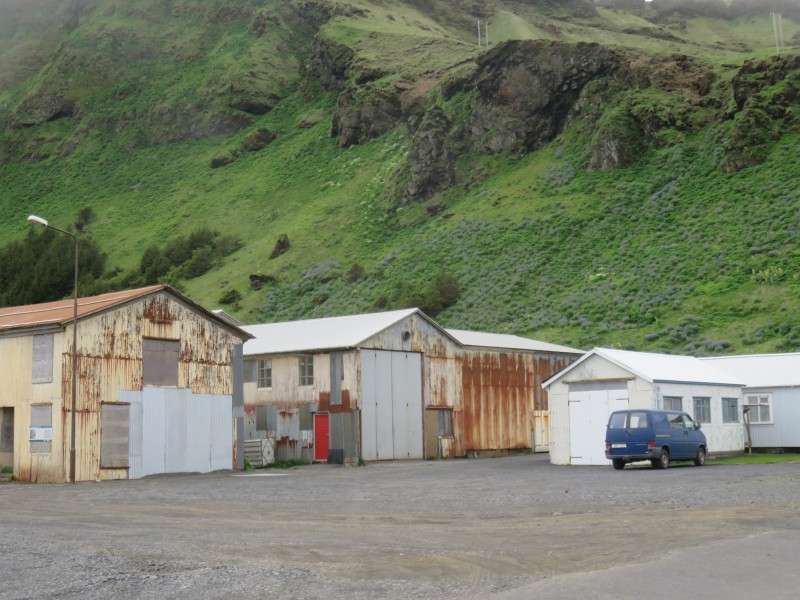
Old fishing warehouses on Mánabraut.

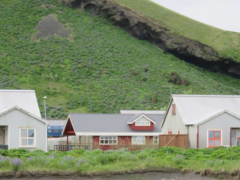
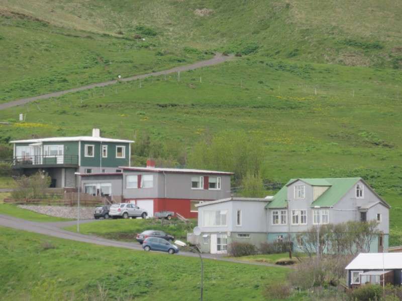
Houses along Sunnubraut.
Old warehouses on Vikurbraut.
A house on Vikurbraut.

A house on Vikurbraut.
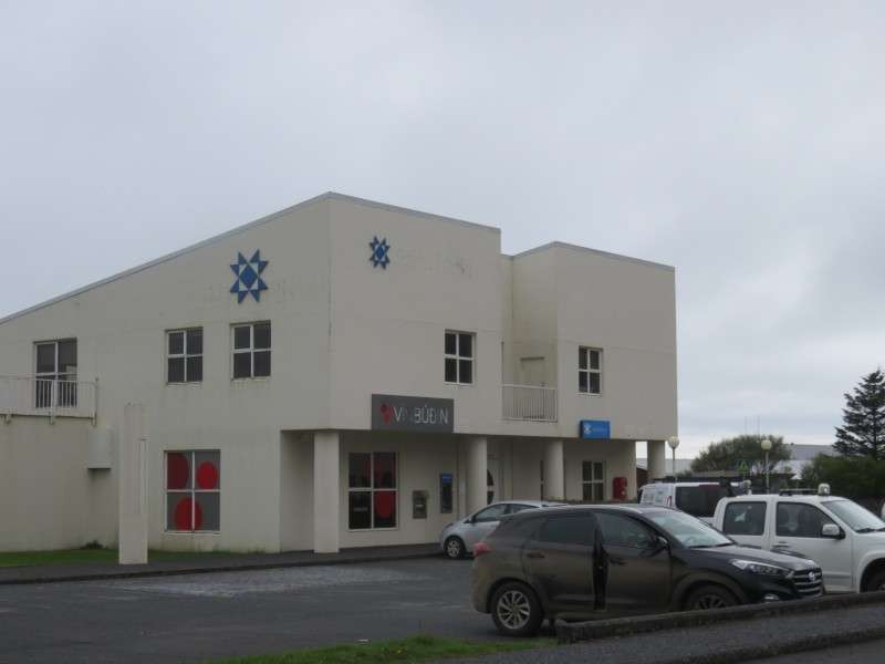
A bank on Vikurbraut.
A house on Vikurbraut.
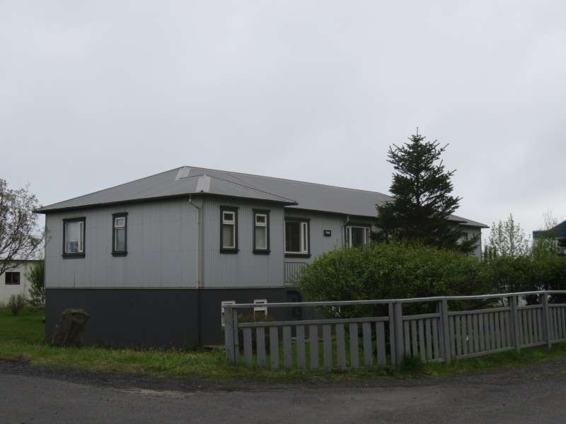
A house on Vikurbraut.
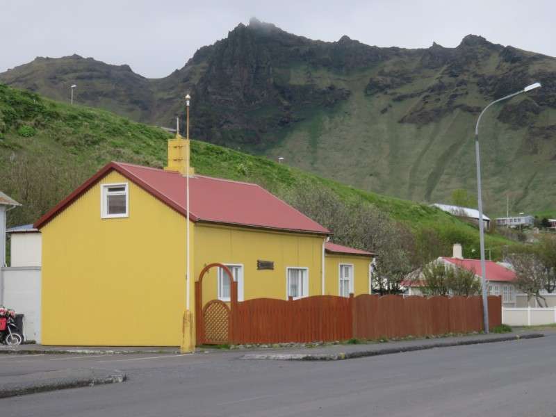
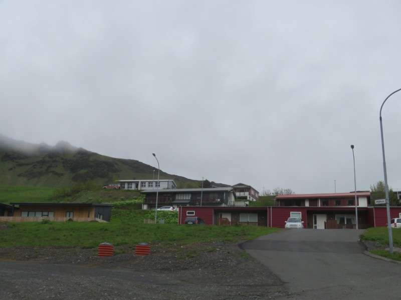
Houses on Vikurbraut.

A house on Árbraut.

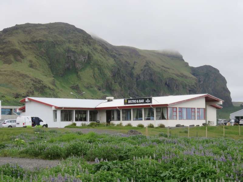
A restaurant on Austurvegur, the Ring Road.
A house on Austurvegur.
A house on Árbraut.
Houses on Austurvegur.
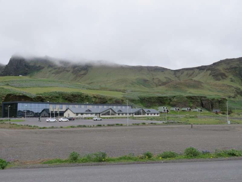
A hotel on Klettsvegur.
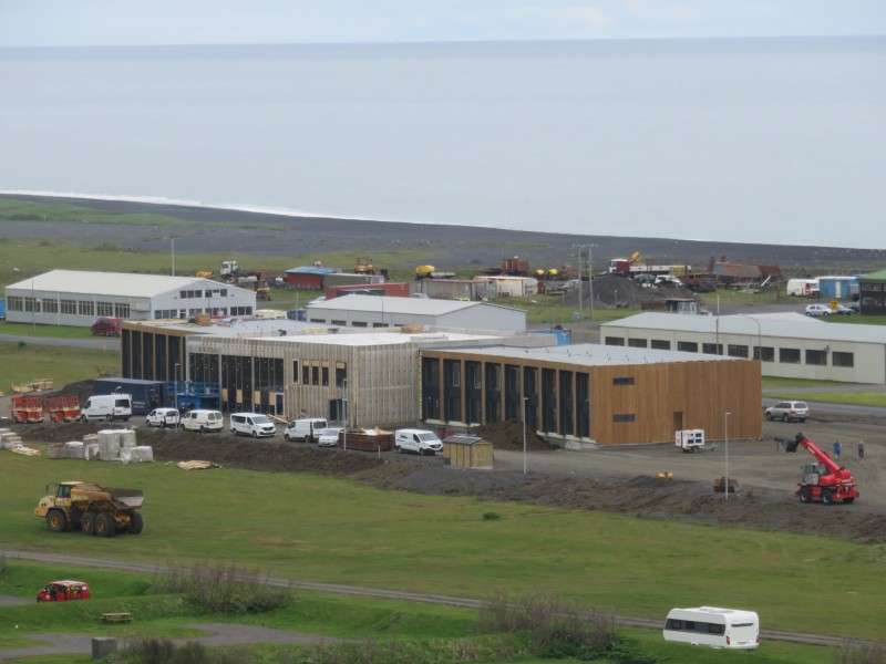
Houses being constructed on Austurvegur.

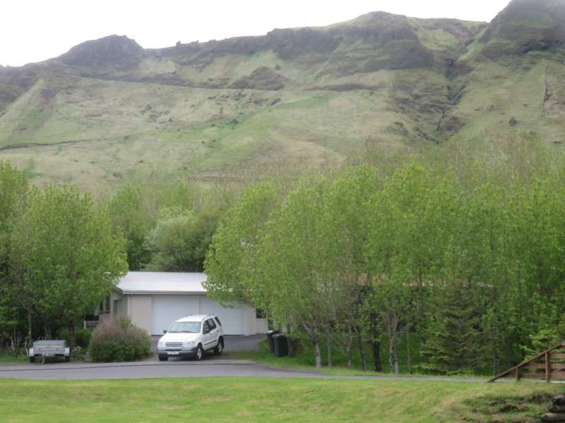
Houses on Bakkabraut.
Houses along Suðurvikurvegur.
Looking east up Sunnubraut at the town church.
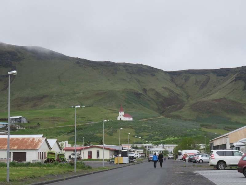
Víkurkirkja, on Hátún. The church was built in 1934.

New construction is going up on the eastern side of Vík, along Austurvegur, or Þjóðvegur1/Route 1, which is the ring road around the nation.
A house on Mýrarbraut.
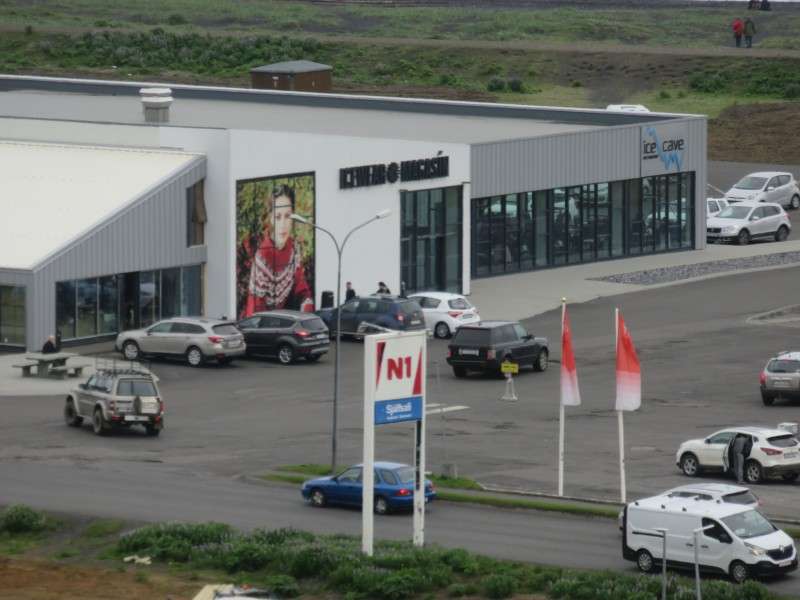
A store on the Ring Road.
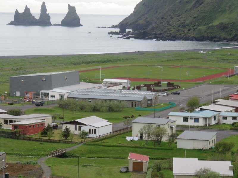
The town swimming pool and soccer field, on Mánabraut.
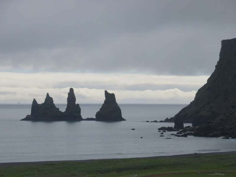
From the hillsides on the northern end of the village, the Reynisdrangar, also called the Troll Rocks, can be seen off the coast. Legend says that the basalt sea stacks were formed when a few trolls saw a stranded ship out at sea one night, and waded out to reach it. While dragging the ship back to shore, dawn broke, and the trolls were hit by the sunlight, being turned to stone.


 Threaded Mode