Thanks, trofirhen. Those did indeed come out very nicely.
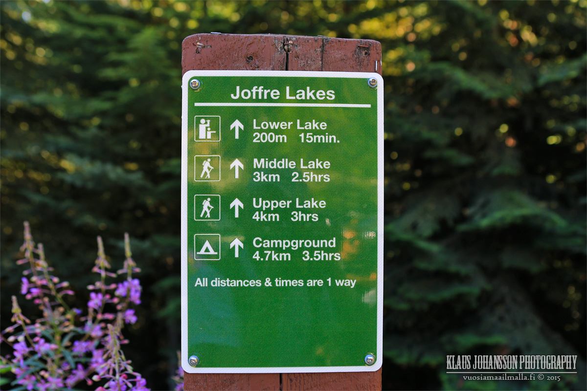
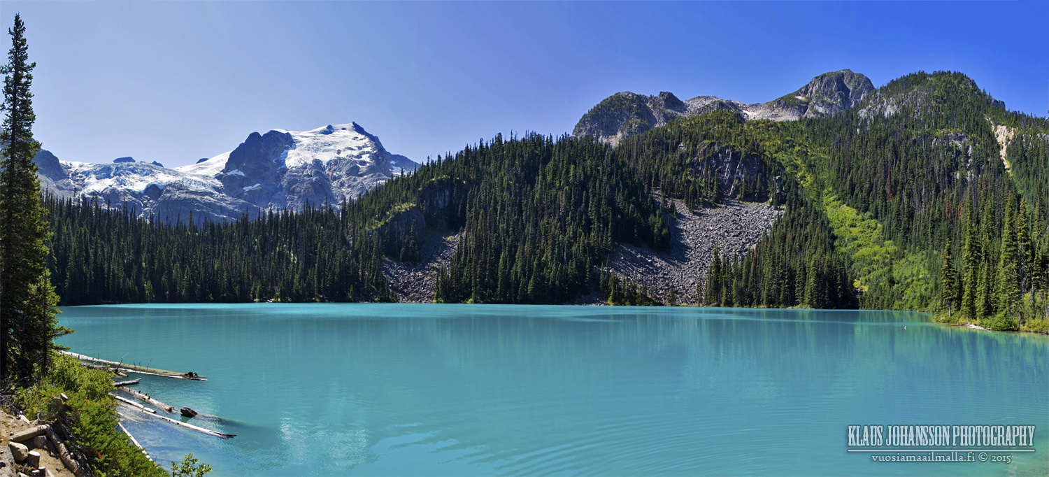
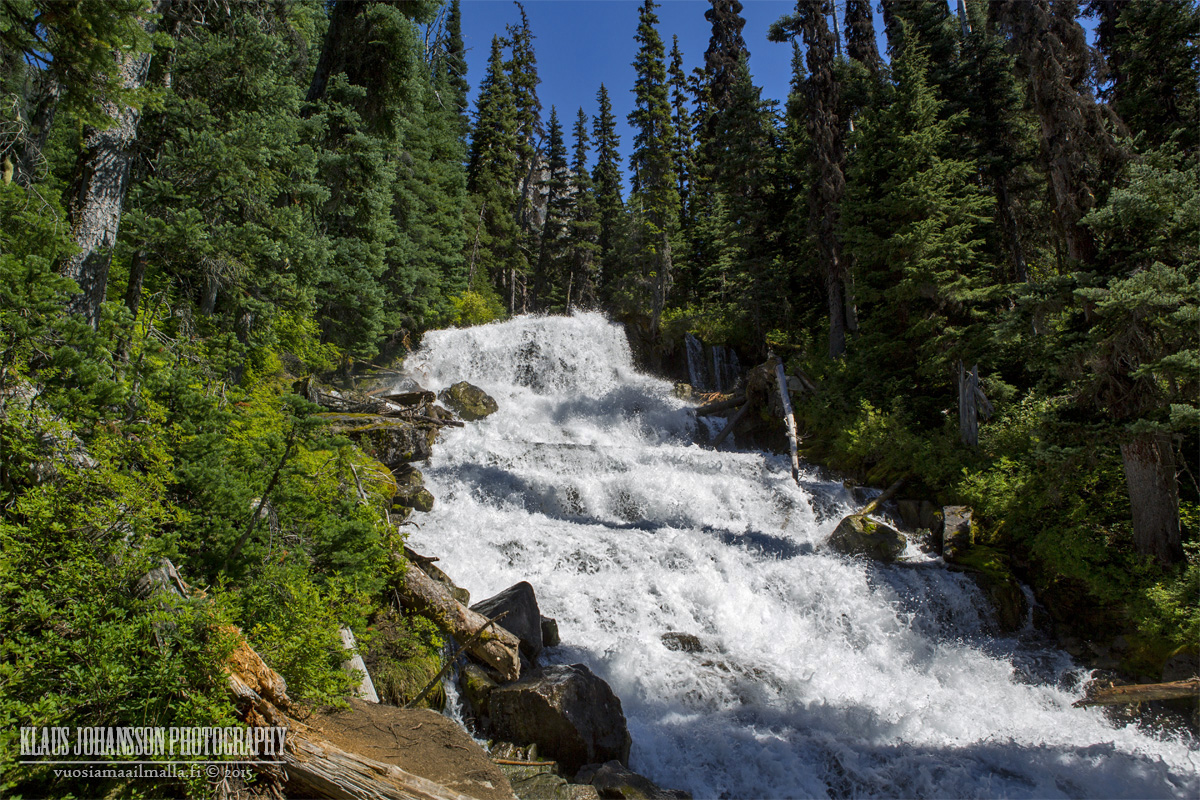
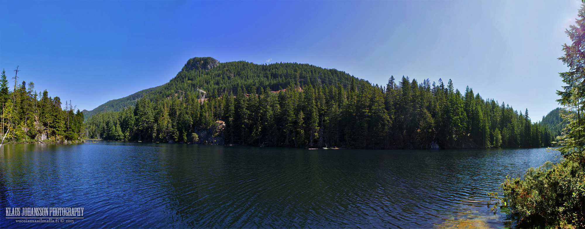
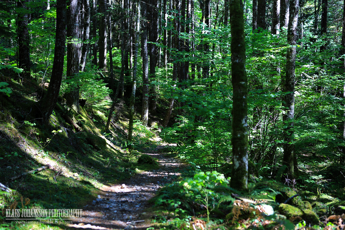
Here is some more beautiful British Columbia from Joffre Lakes up in Pemberton. I was blown away by the beauty of this place which is on par with Lake Louise in Banff! No wonder so many people make it up there to see the scenery as this is only 2 hours from Vancouver!
Parking lot is full already at 10am.
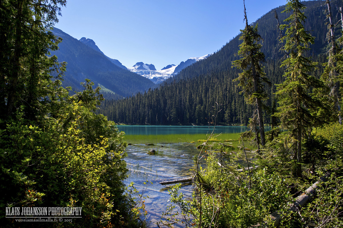
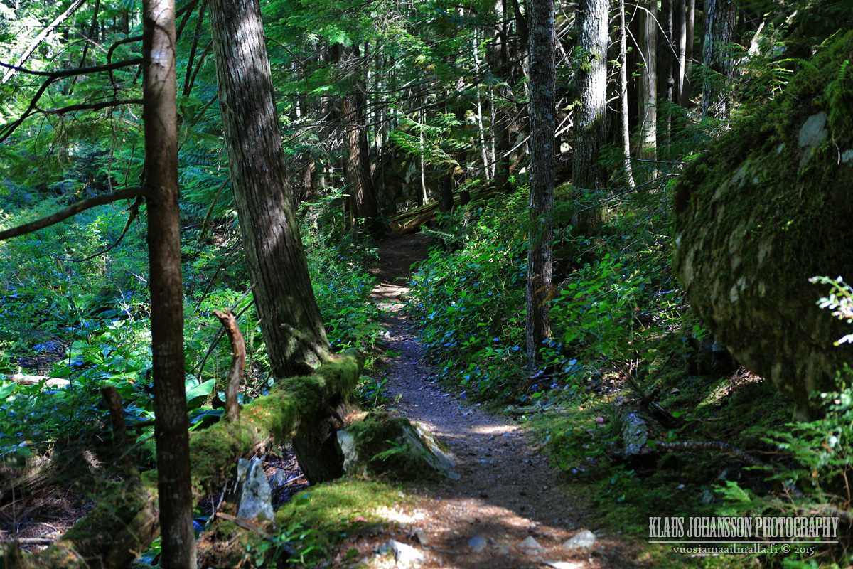
Lower Joffre Lake is just a short walk from the parking lot. What a beautiful spot to sit down and relax!
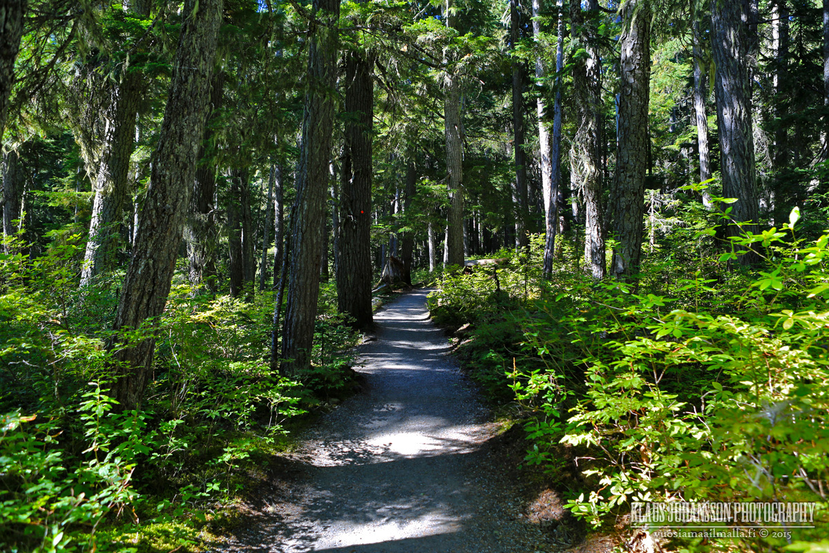
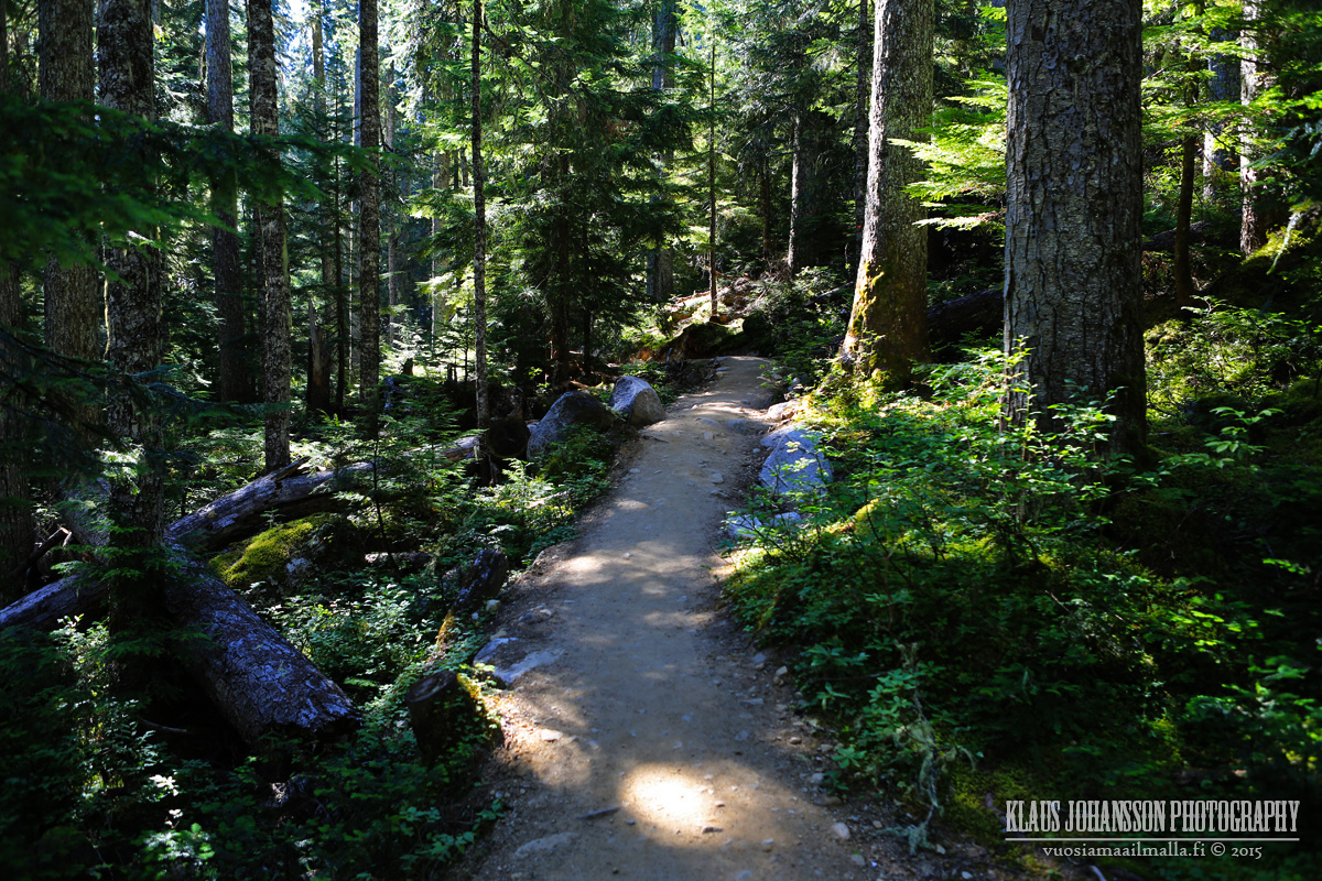
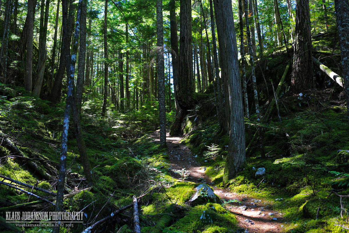
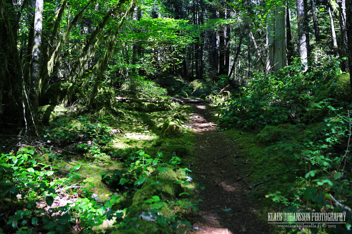
Trail up has recently been groomed (and some are mad about it). It is now easy to walk, although still a steep hike.
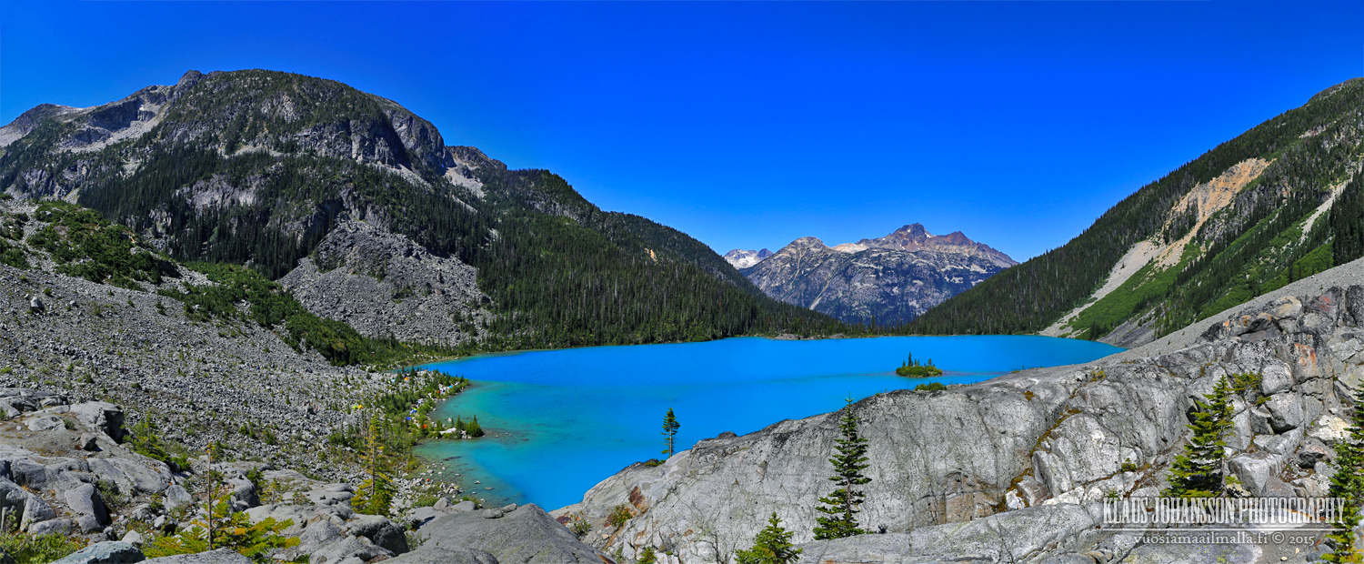
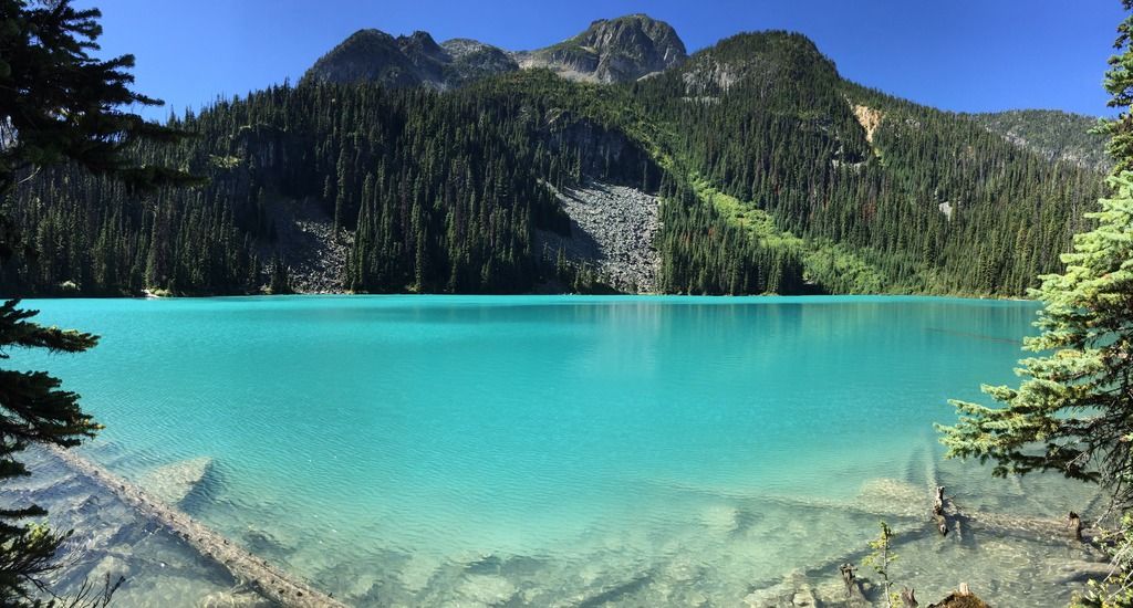
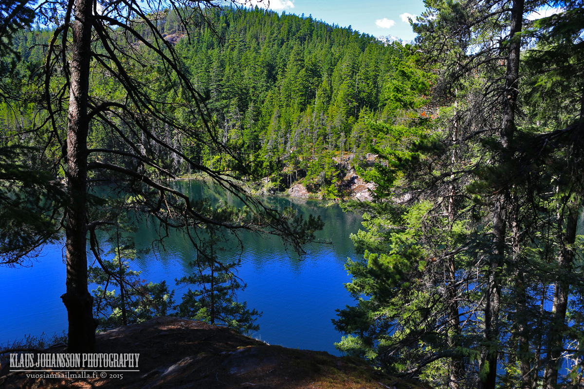
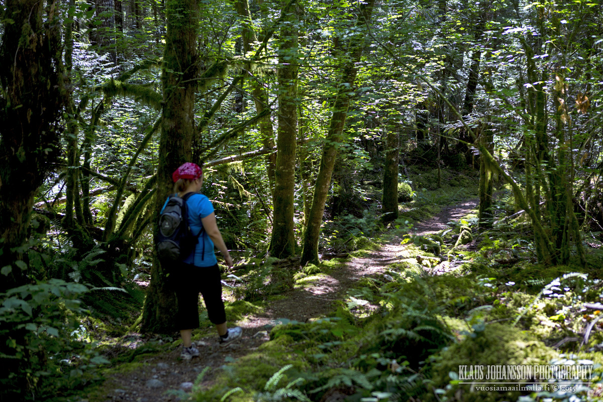
Made it to the Middle Joffre Lake.
Veeeery nice!
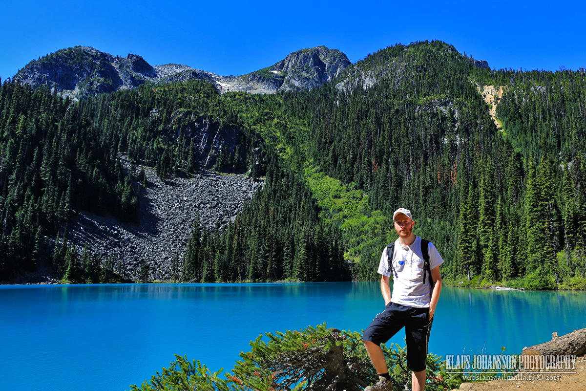
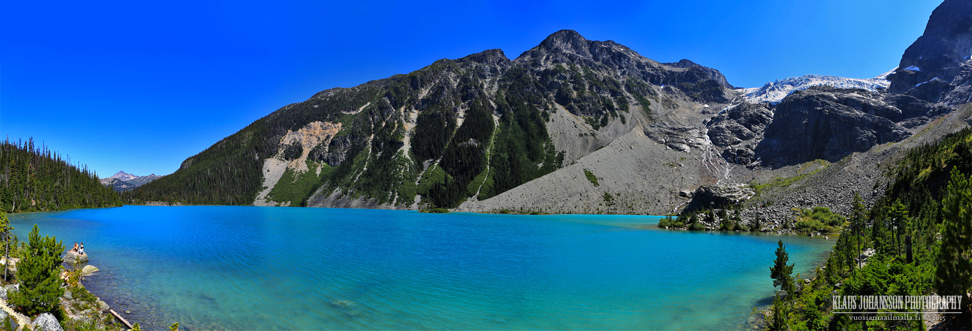
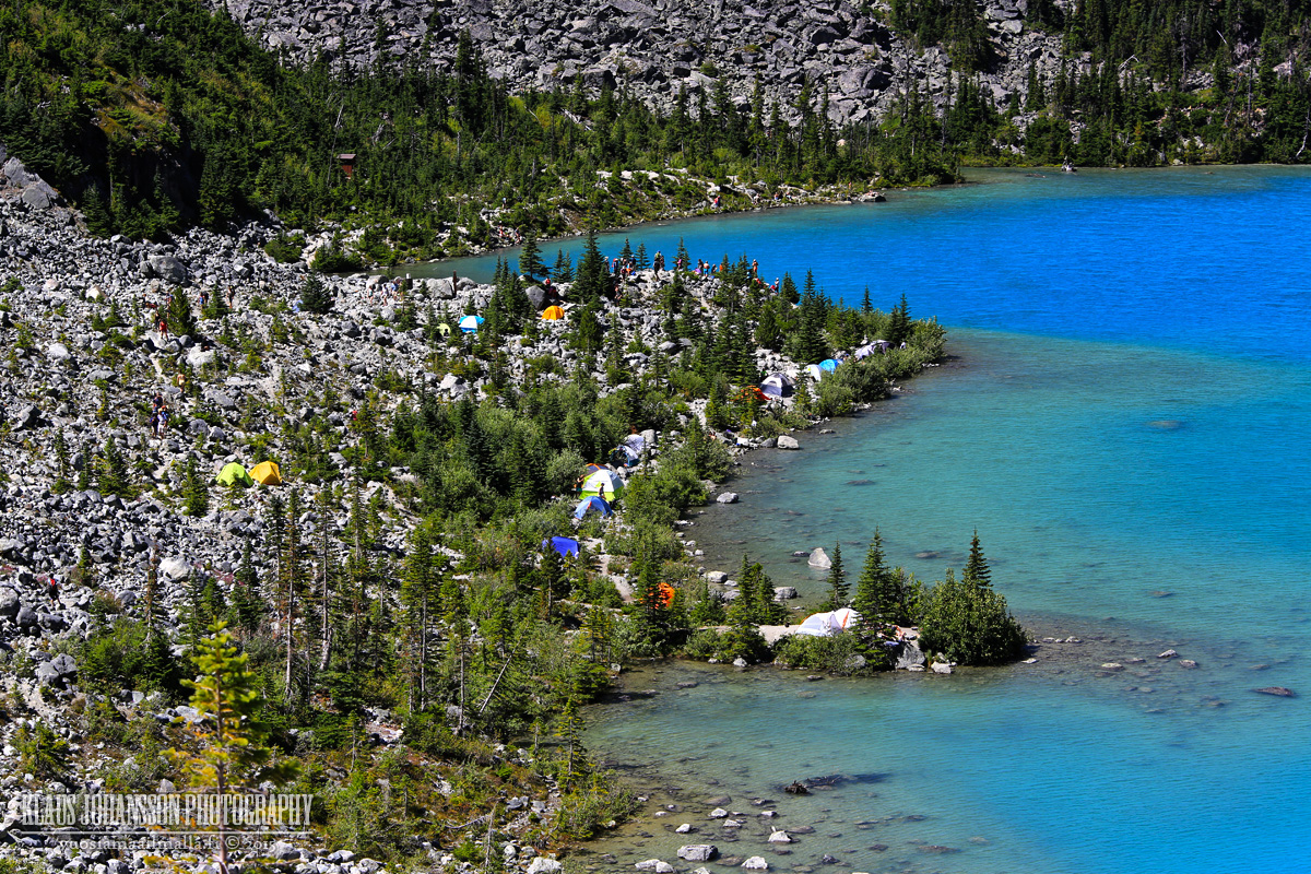
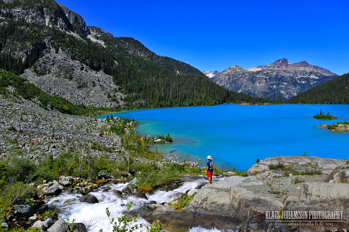
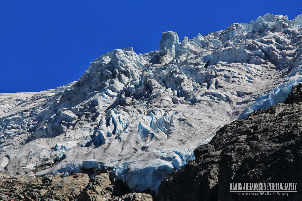
Upper Joffre Lake with Matier Glacier in the bakcground. Note the tiny tents in the right corner. Yep, scale of this place is gigantic with the lake 1565 meters above the sea level and the peaks reaching 2700 meters.
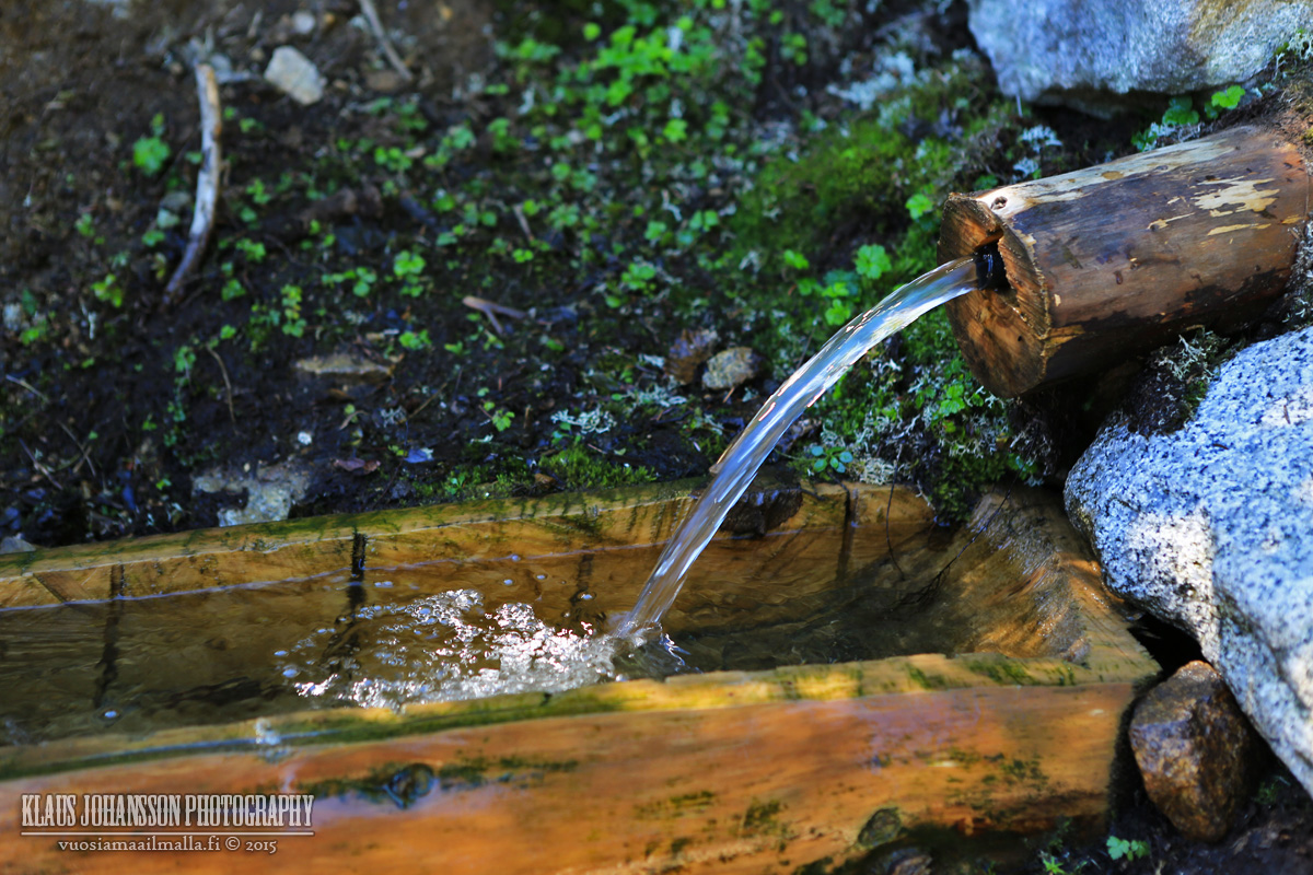
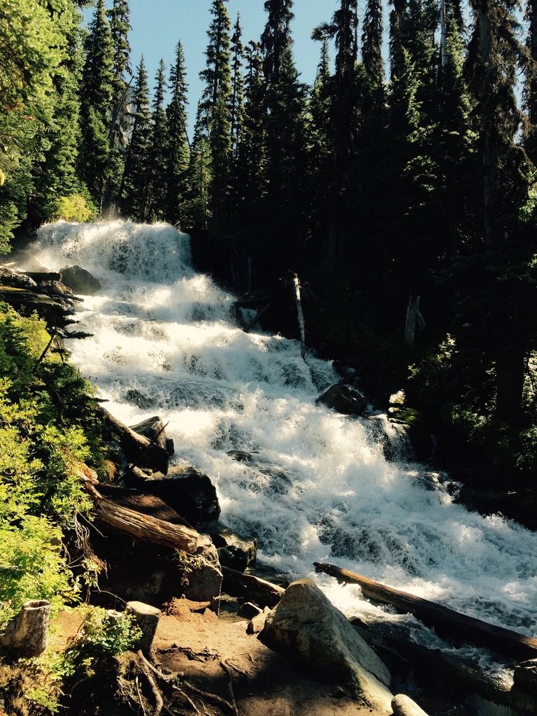
Stream from the glacier. They are melting fast.
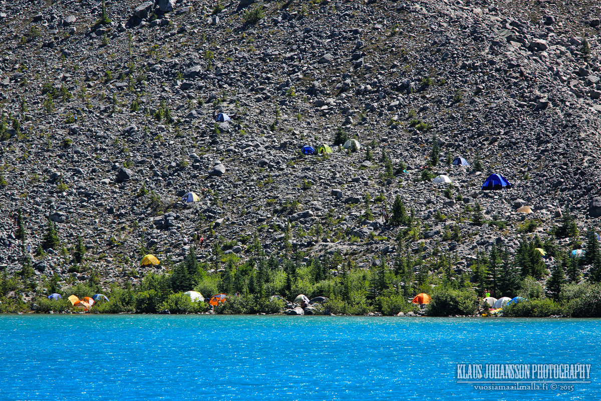
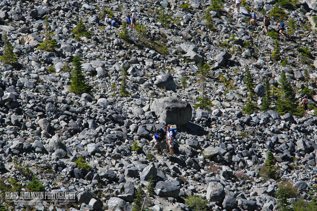
Camping ground in the rocks.
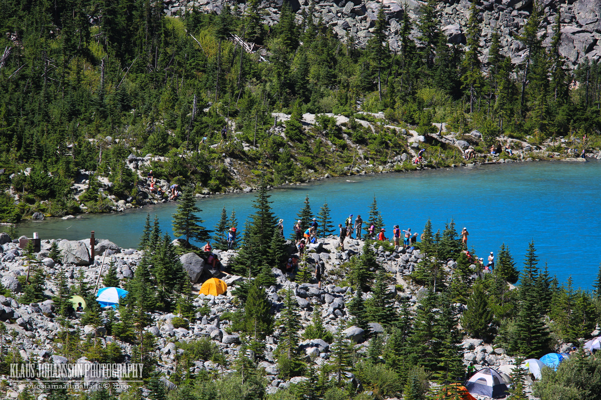
It's a tough terrain to navigate.
Ice cold stream from the glaciers.
What a place to have a lunch!
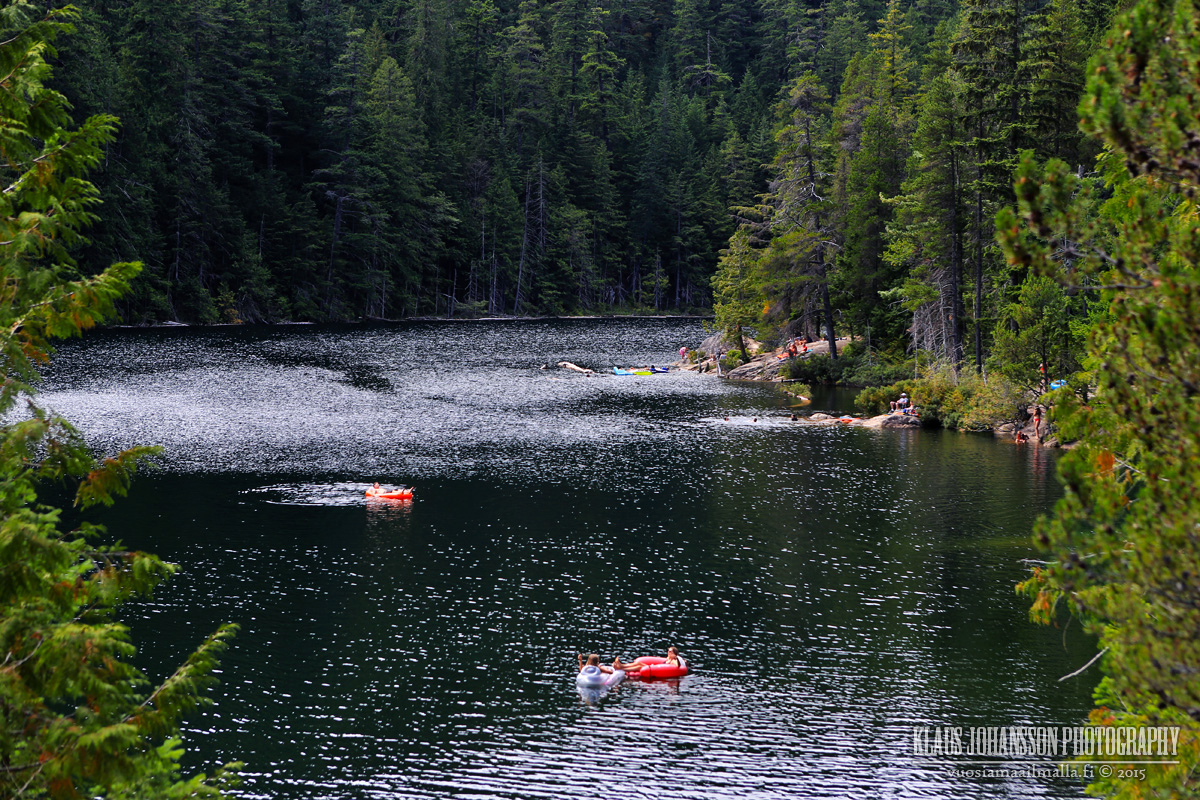
Some daredevils dipping in the cold lake.
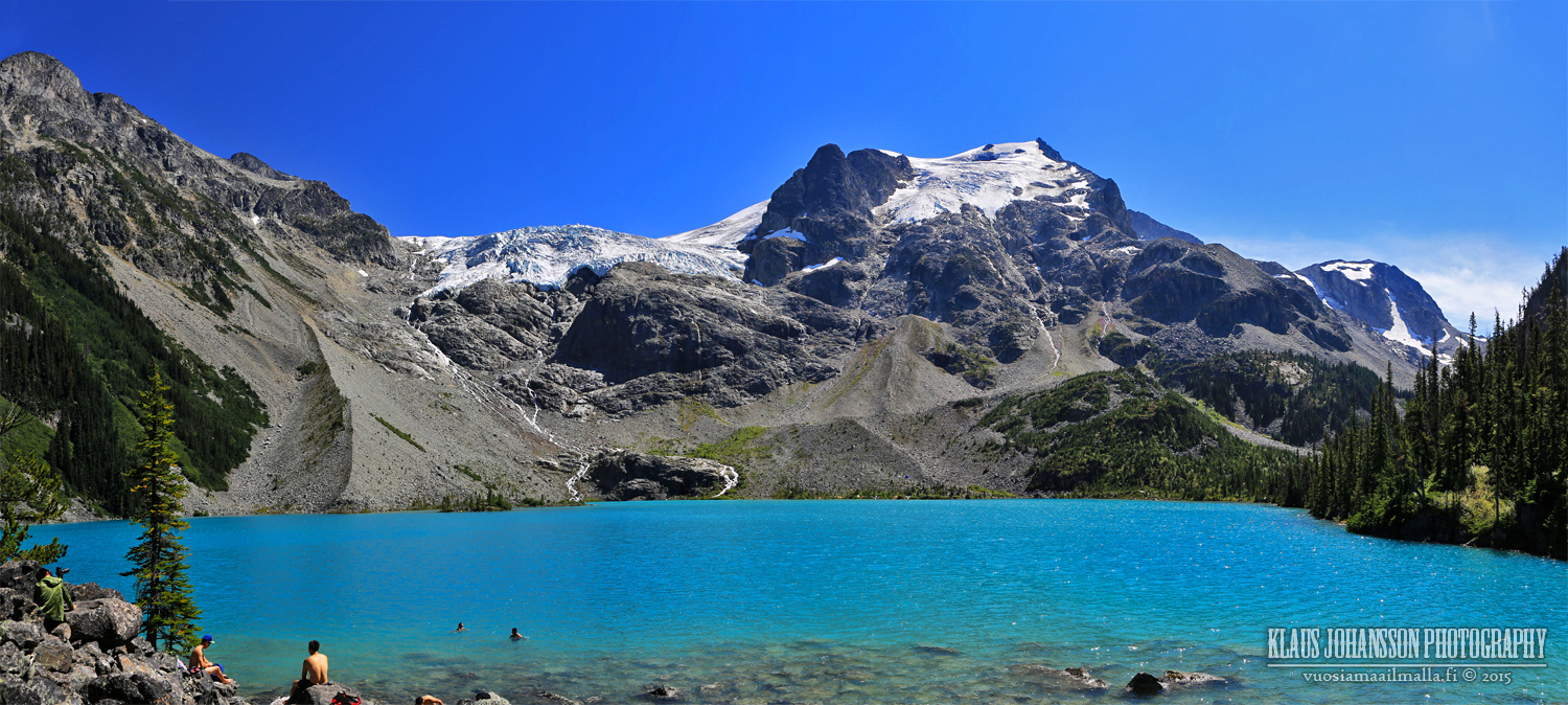
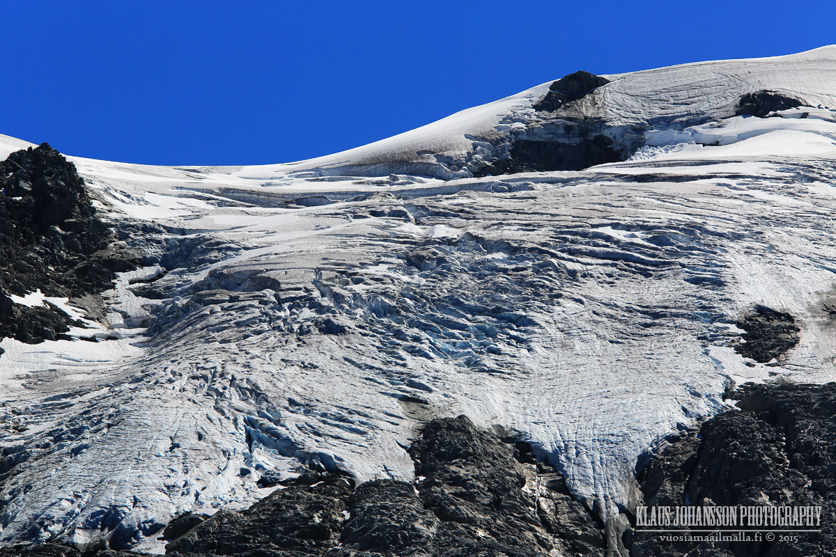
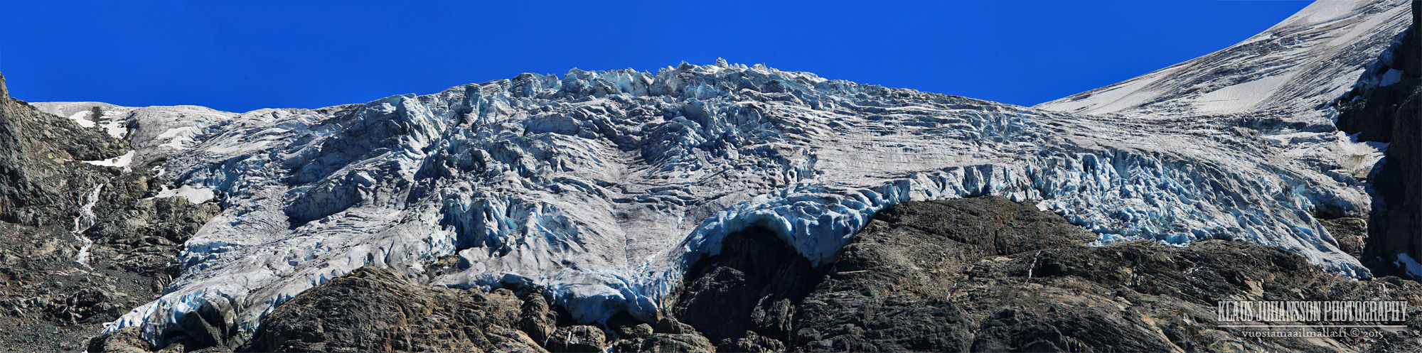
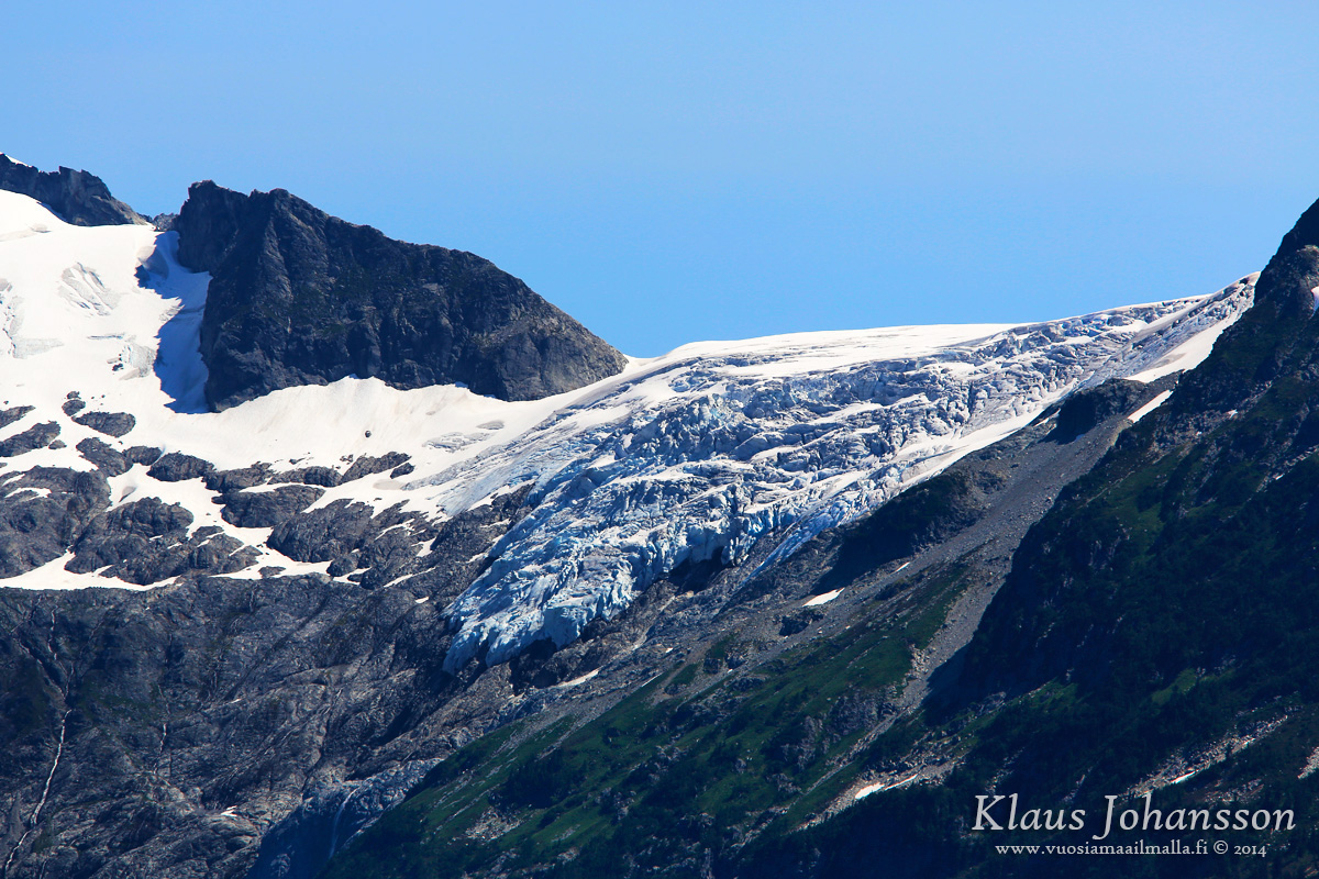
Matier Glacier upclose. The glacier extends far beyond what can be seen here. There is a way to climb to it, but it is another 300 meter ascent from the lake and we didn't have the energy anymore. If you stay overnight at the camping ground, you should give it a try. The glacier can be a bit scary though with occasinal loud cracking noises from it. One never knows if a huge piece would be to fall off.
Finally a short video from the area. I am not very avid in shooting video, so please be gentle.
Amazing shots Klaus!! We were there Saturday and will always go on a weekday now to avoid the crowds! The new trail makes getting to the upper lake so much faster, I miss the old trail, it was a little more scenic but I still love that place!!
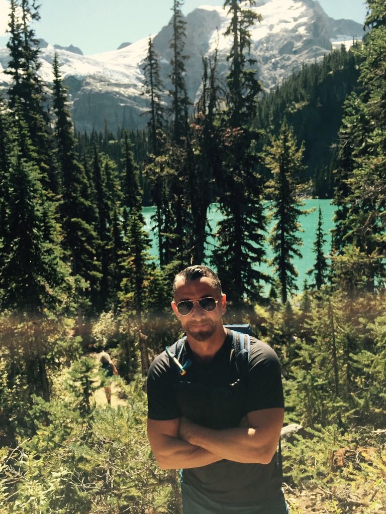
...a couple of low quality snaps from our hike Saturday ( don't laugh )
photos by : connect2source
__________________
source | energy
Last edited by connect2source; Aug 26, 2015 at 2:03 AM.
Yeah, the new groomed trail is making people mad on forums. I liked it when going up (in comparison to hopping the rocks to the campground, but it is a bit treacherous on the way down. Easy to twist your ankle or just trip. And yeah, lots of newbie hikers making it to the top thanks to it.
Tons of newbies! We got there Saturday about 10:00am and cars were parked 1 -2km up and down the highway. We parked about 1km north. Most of the visitors were tourists with little to no hiking skills or trail etiquette, it was a solid line of people all the way to the upper lake. Can't wait to do it again on a weekday, maybe in Sept before it gets too cold.
I think the steepness of the new trail is gonna make this pretty slippery once there's a bit of ice.
Your pics were amazing Klaus and brought me back there! Well done and thanks!
Yeah I did the hike back in May and was really sad to see they made the trail incredibly easy. If you want you can still go on the old trail before the waterfall(which I did)
I don't think I'd camp at the bottom of that glacier though. All those rocks and boulders that surround you ended up there somehow. It's only a matter of time before....*squish*.
I don't think I'd camp at the bottom of that glacier though. All those rocks and boulders that surround you ended up there somehow. It's only a matter of time before....*squish*.
I was also thinking about it while in there. There actually was a loud bang from the glacier above. We waited for a moment to see if anything would be buckling down, but no. I still think it can happen from time to time and that is then a real holy shit moment for anyone nearby.
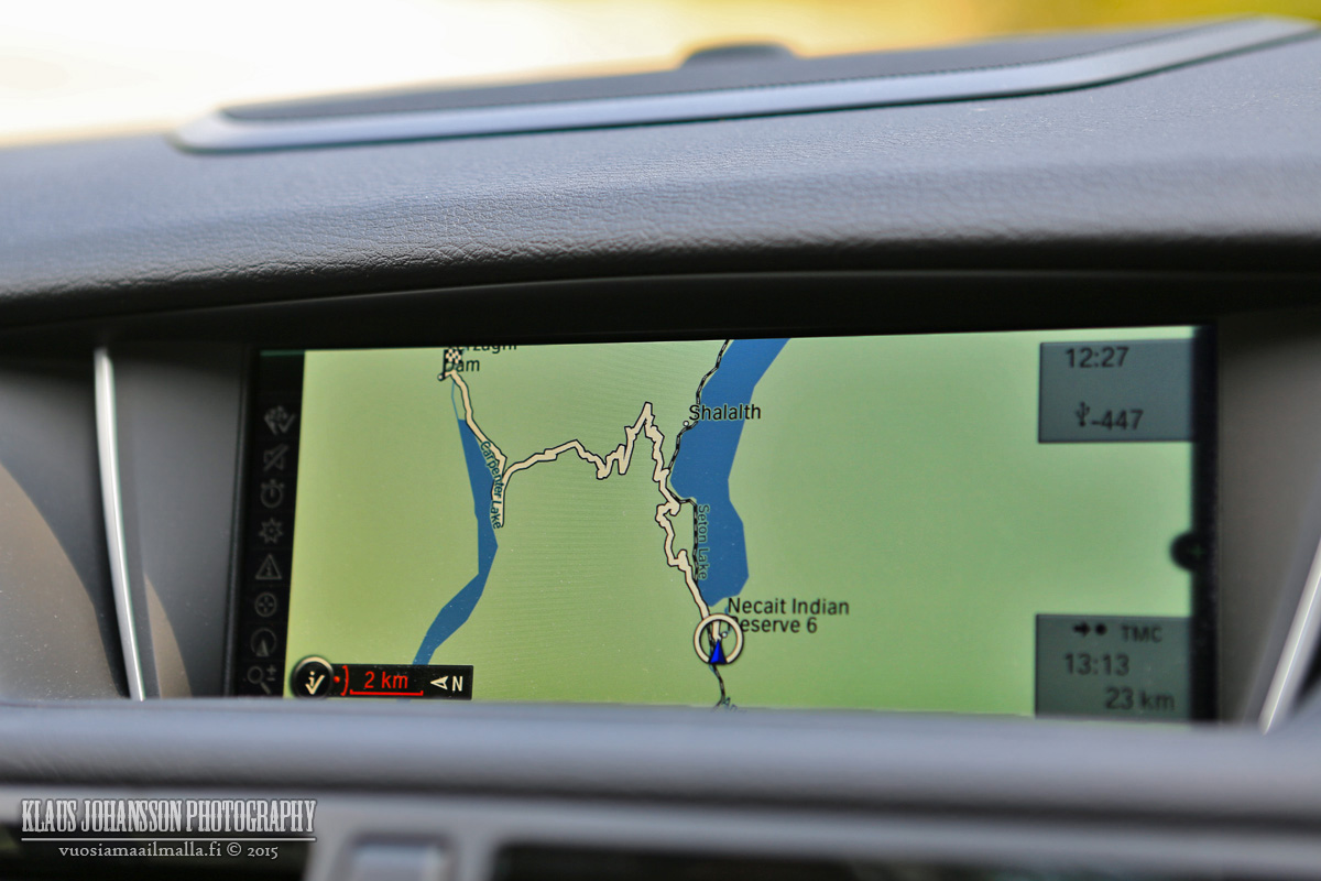
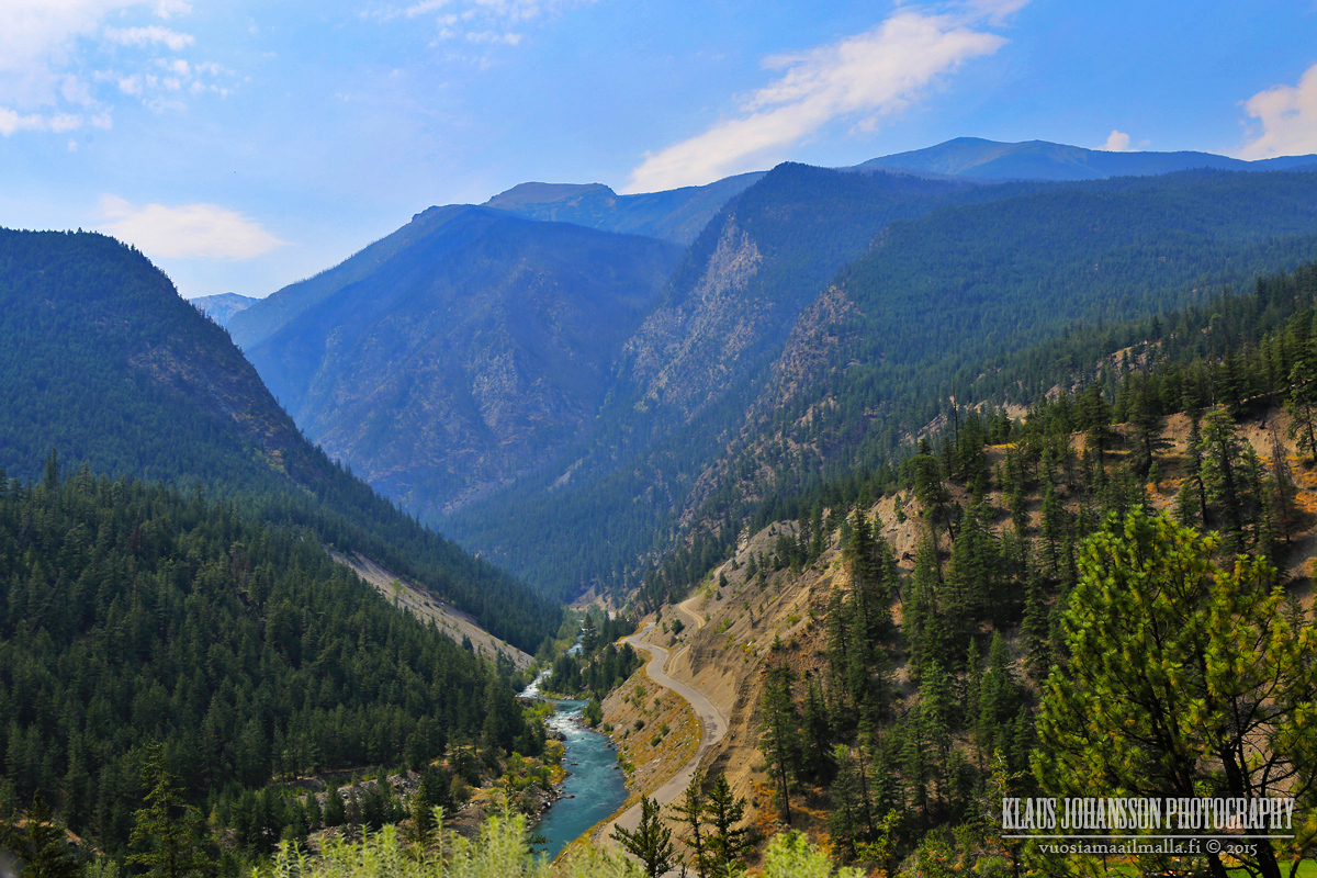
Like some may remember, a month ago I was curious to drive the remote road from Pemberton through Seton Portage to Lillooet. Here are the photos from this rarely seen road.
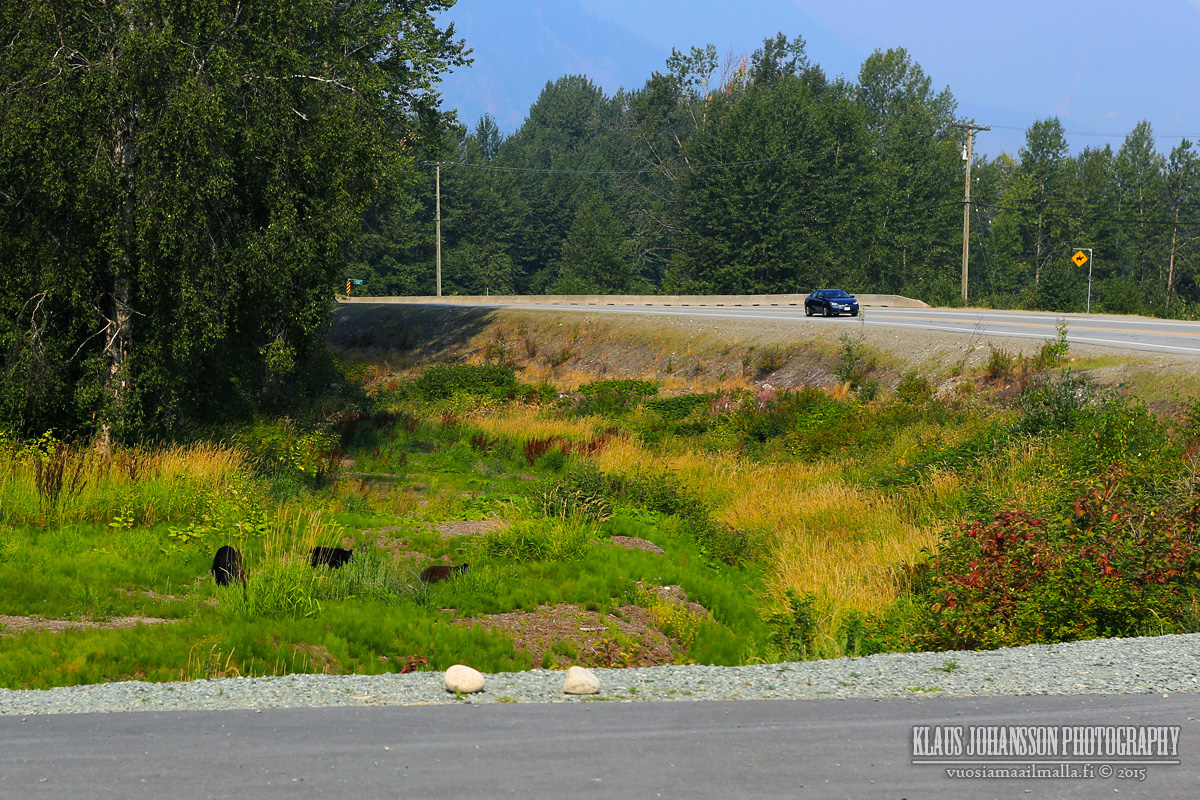
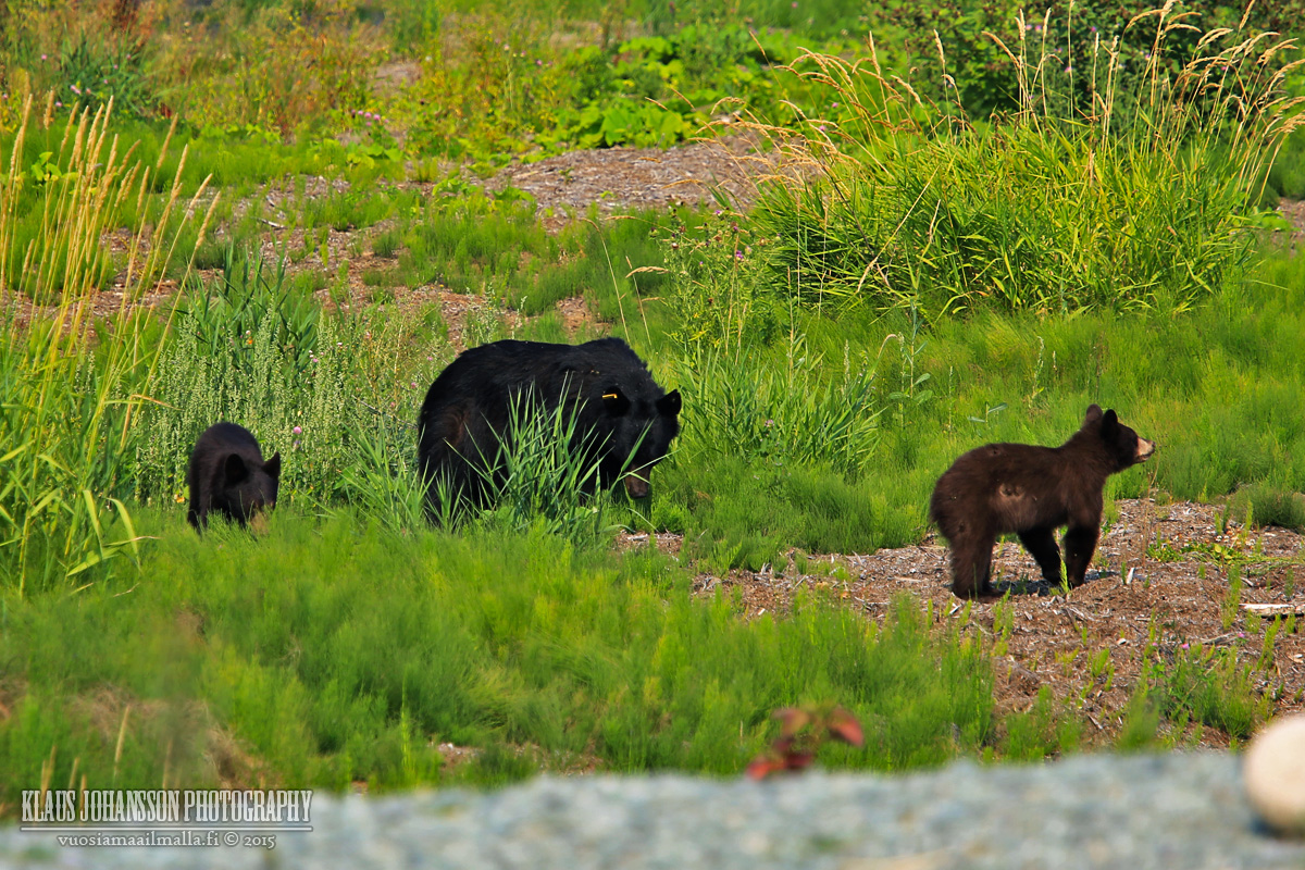
Black bears nearby Pemberton.
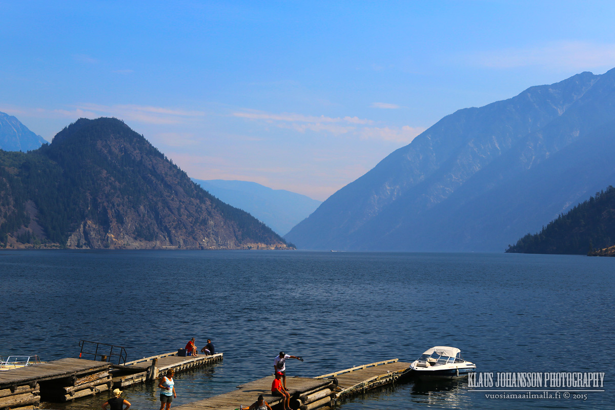
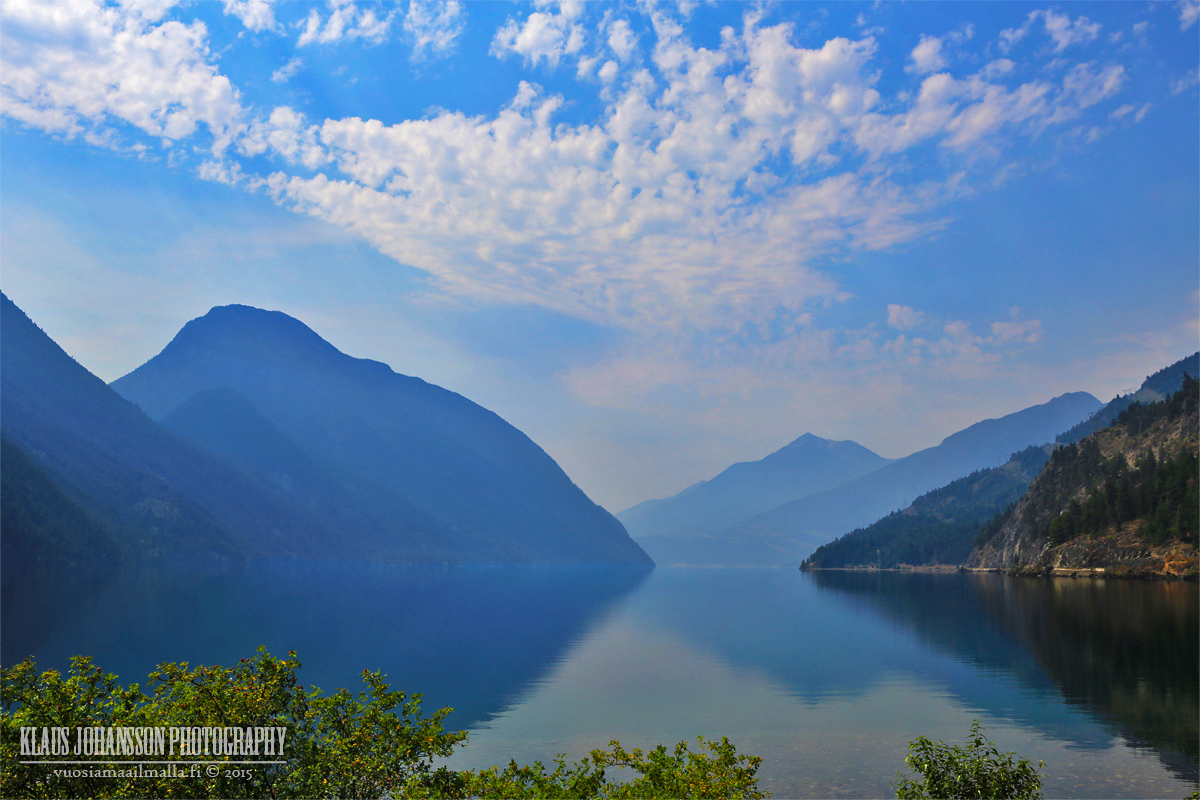
Anderson Lake in D'Arcy. There was lots of smoke from the nearby forest fires in the valley.
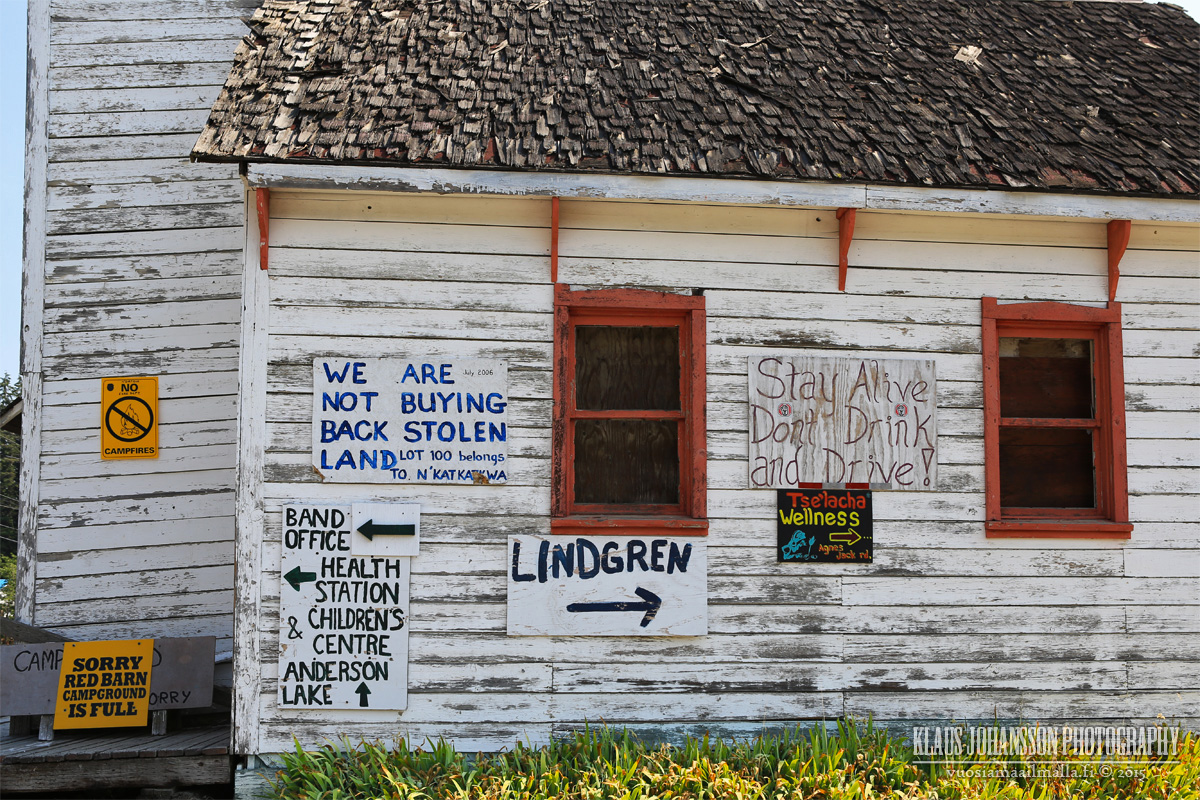
People of D'Arcy are opinionate.
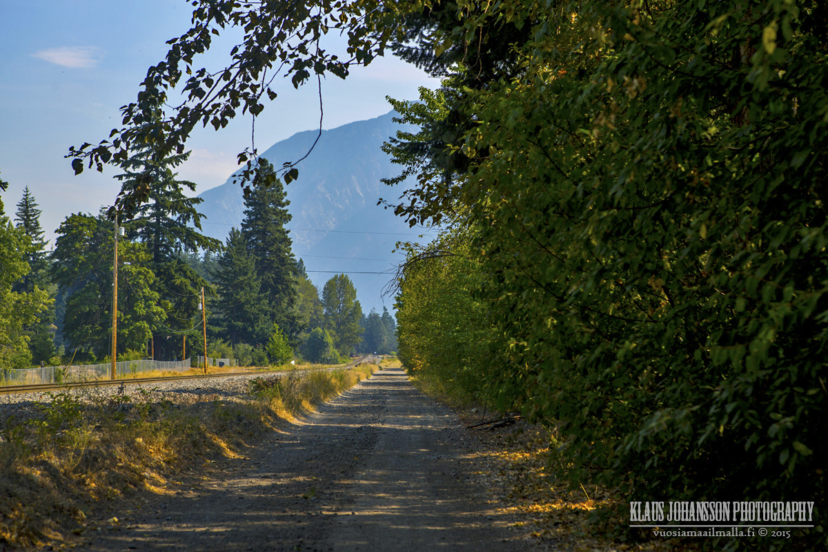
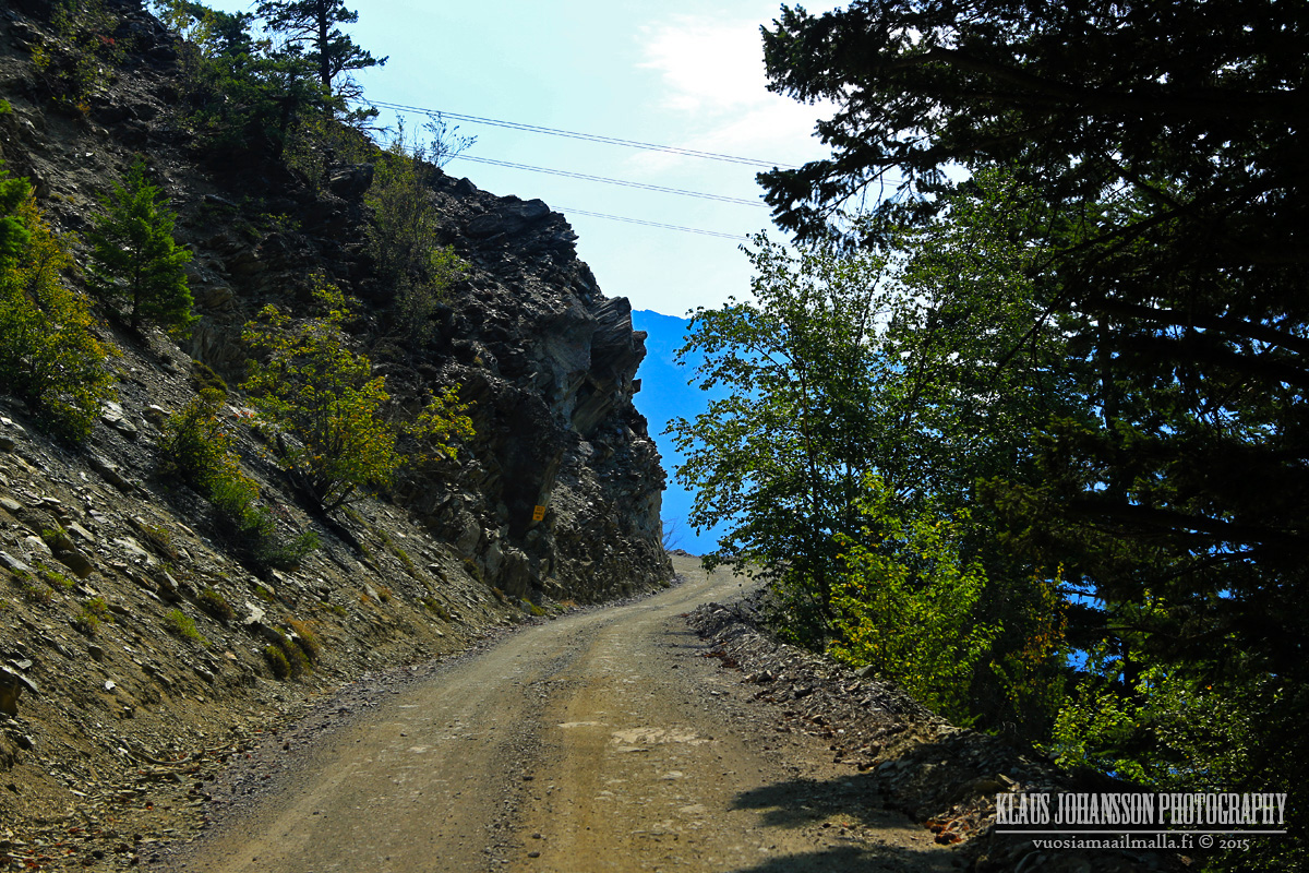
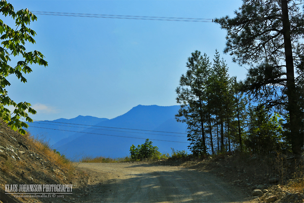
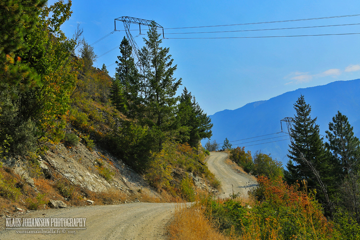
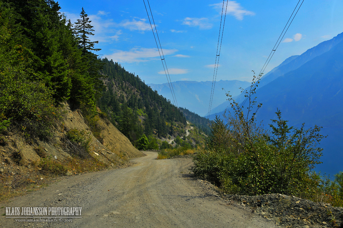
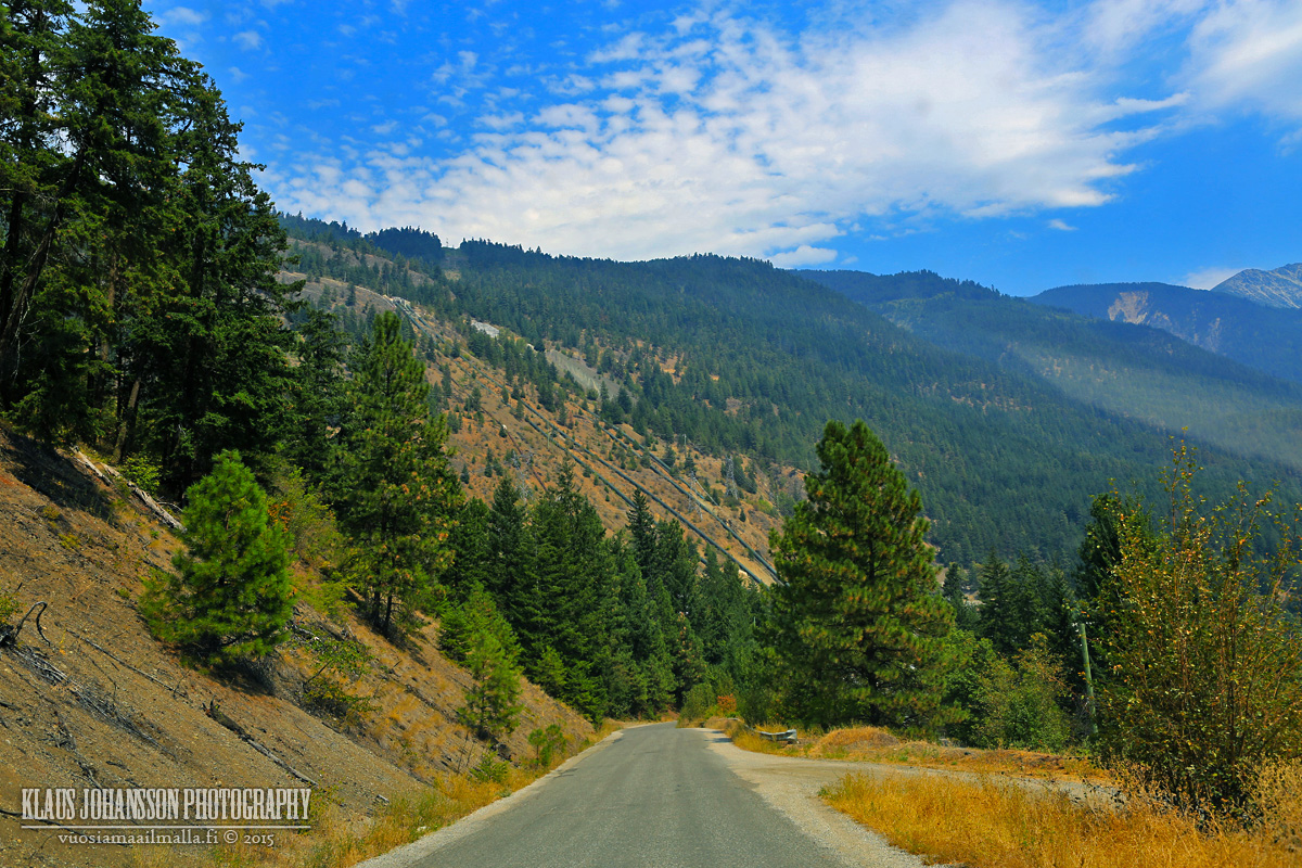
Highline Road to Seton Portage.
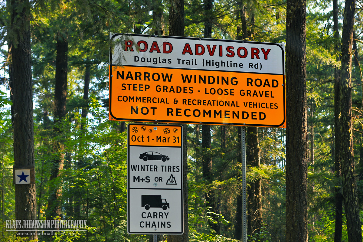
The road is doable with a normal 2WD car, but there are few steep sections and LOTS of potholes that make it challening at times. You cannot drive faster than 20km/h unless you don't care for your car. In winter I would stay away from this road.
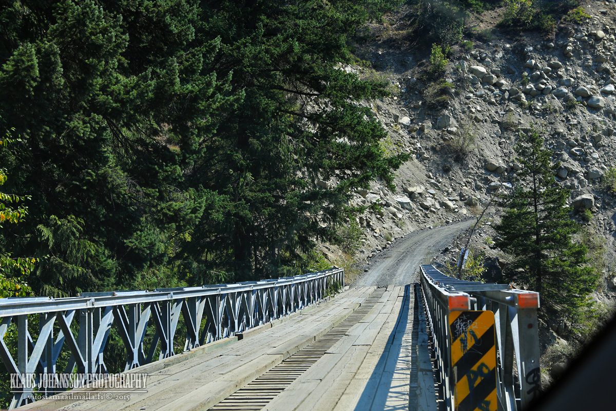
It's a narrow road with steep drops that can cause vertigo.
D'Arcy from above.
High above Anderson Lake. Most people from Seton Portage seemed to have their cars parked in D'Arcy and take a boat across the lake, which is much faster than the road.
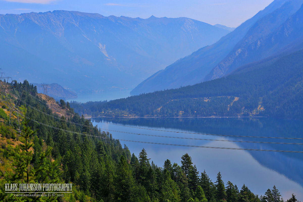
Seton Portage is located between Anderson Lake and Seton Lake (behind).
Main street of Seton Portage.
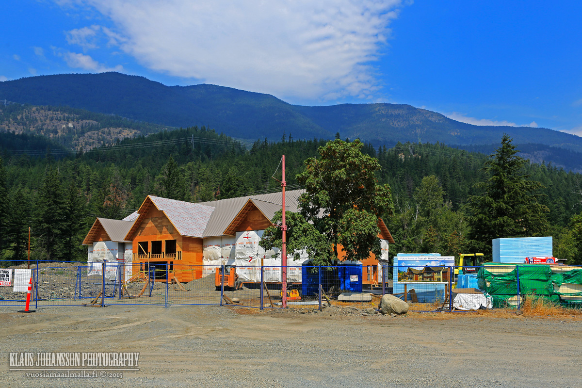
There is a hotel being built in town.
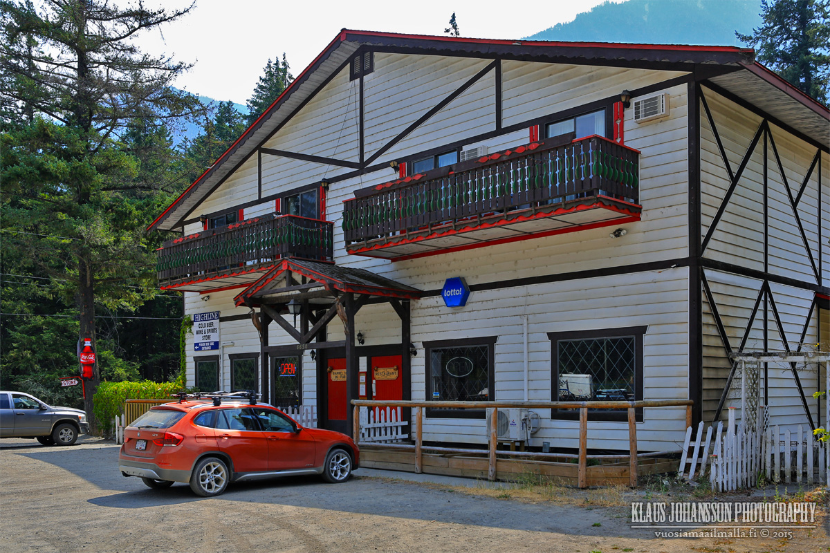
One bar is the center of the village.
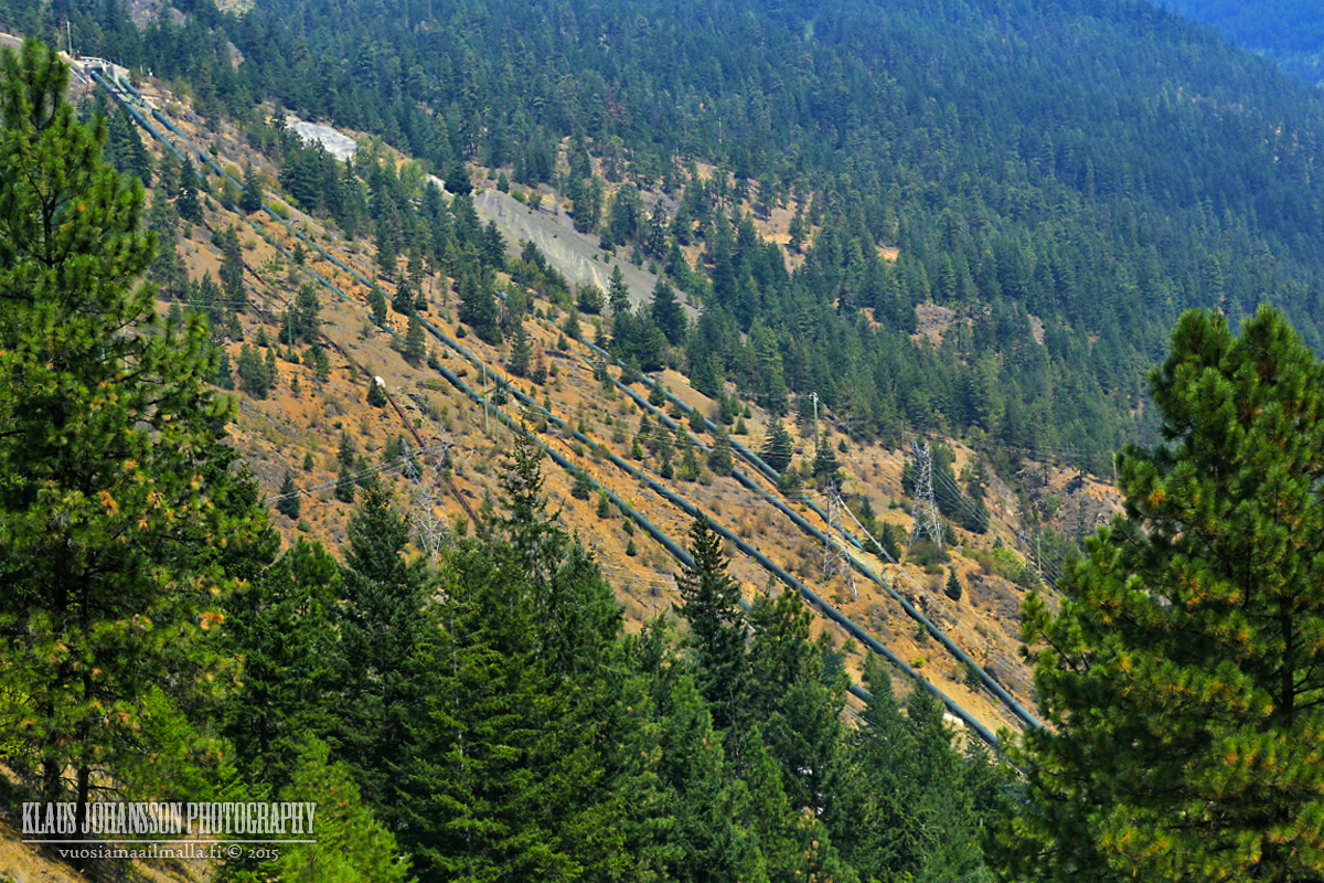
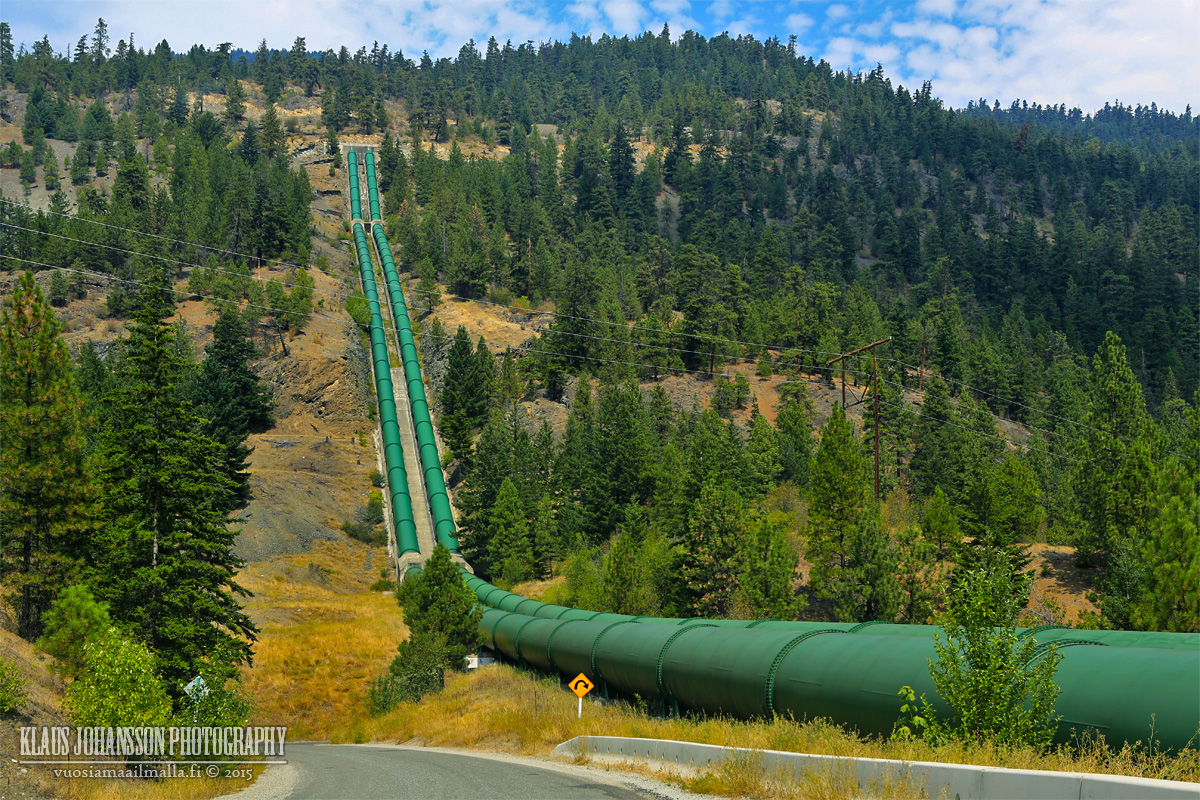
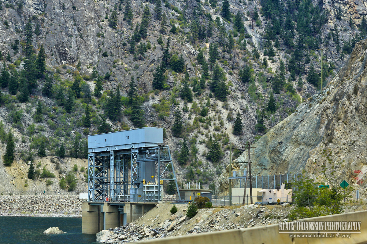
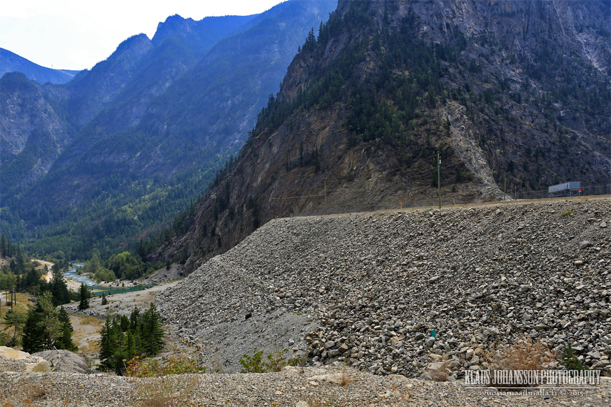
Driving past Seton Portage you see huge pipes running down the mountain side.
These pipes carry water from Carpenter Lake 600 meters above Seton Lake through Mission Mountain, which BC Hydro uses to generate electricity.
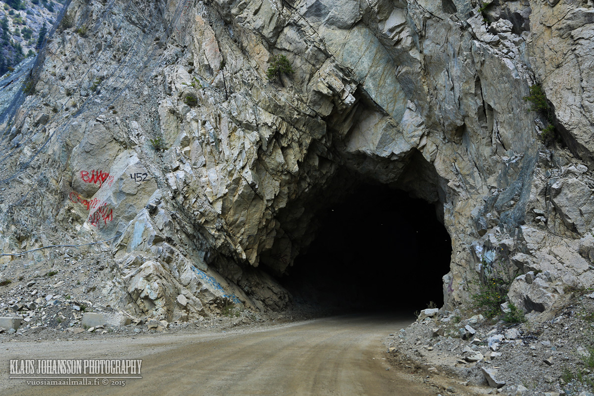
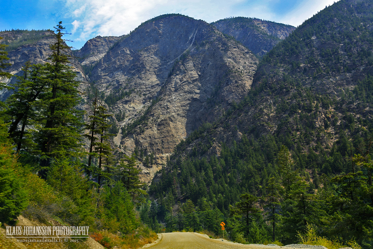
It's a curvy road but good quality gravel road over Mission Mountain.
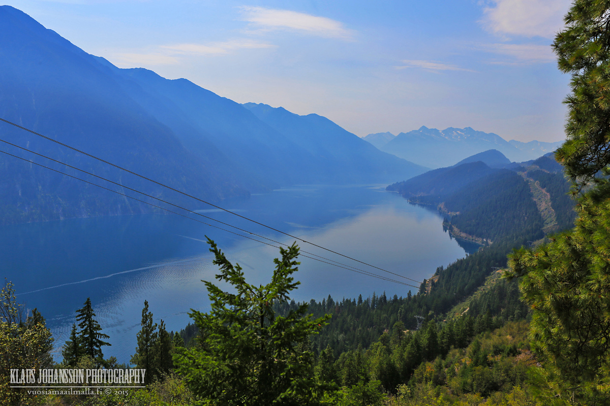
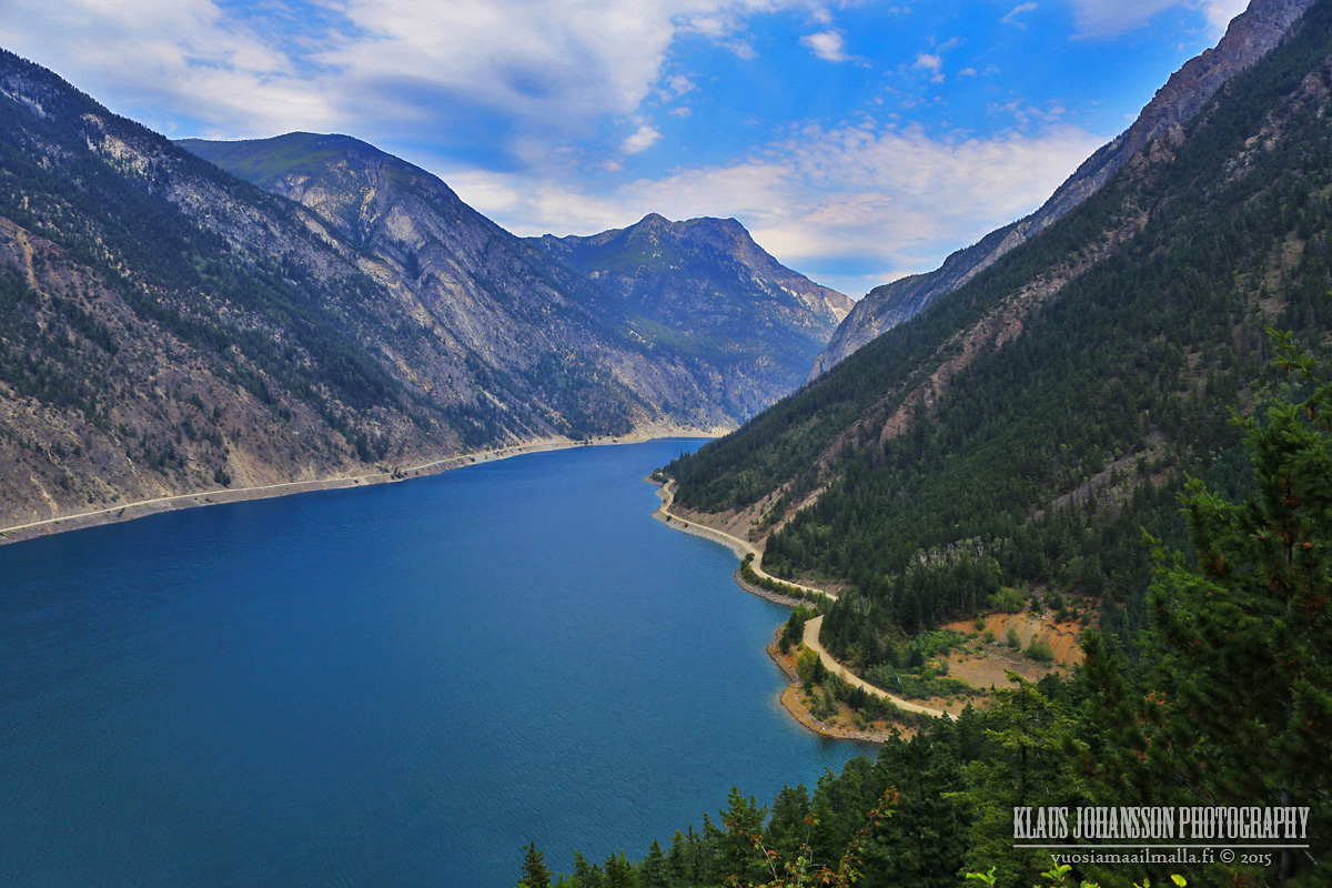
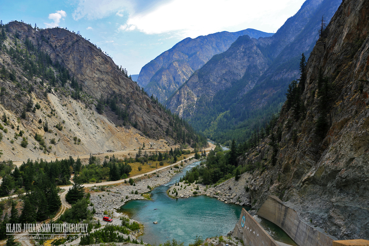
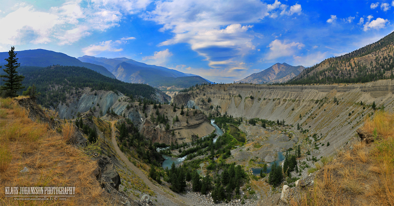
Carpenter Lake
Terzaghi Dam holds back the huge Carpenter Lake.
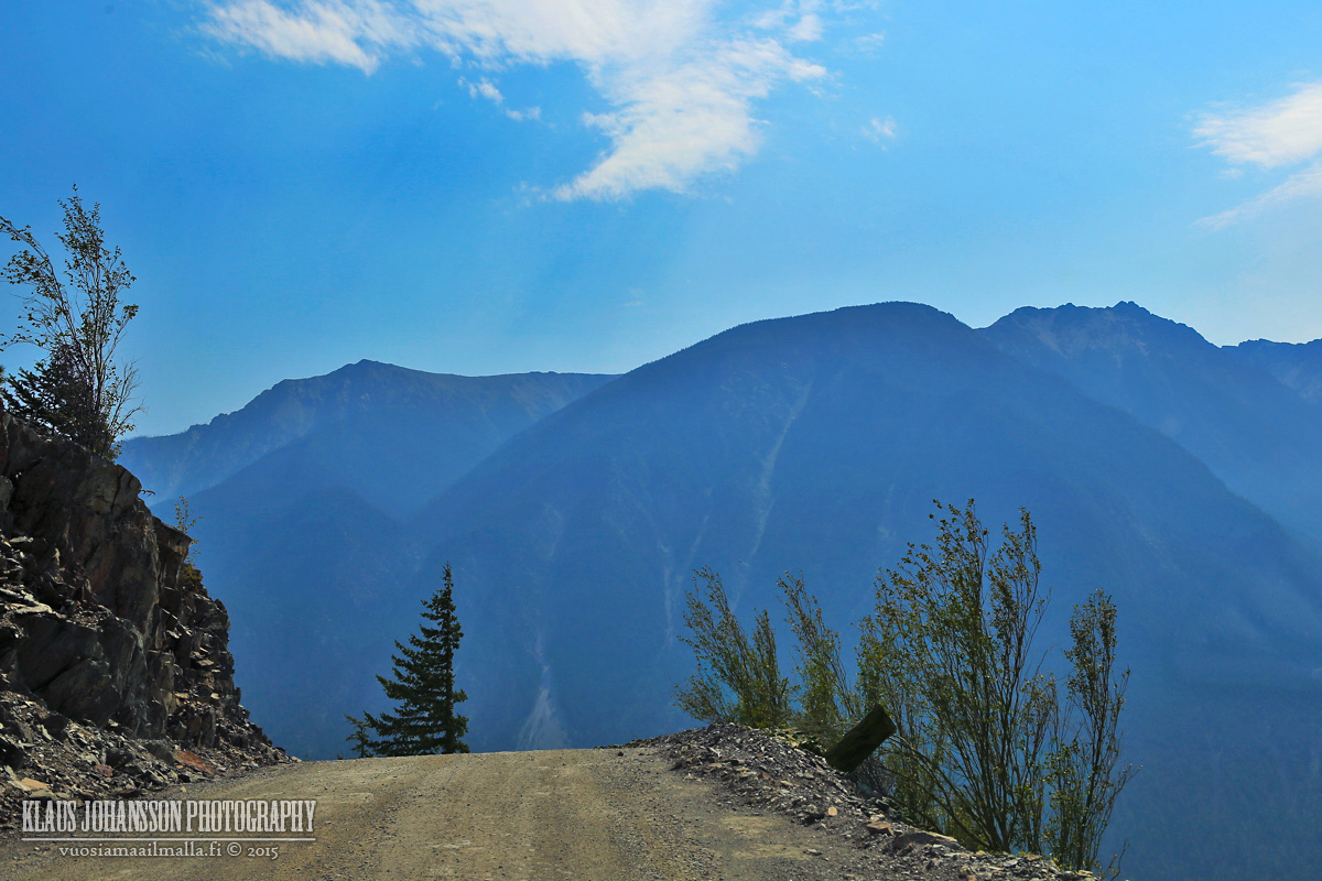
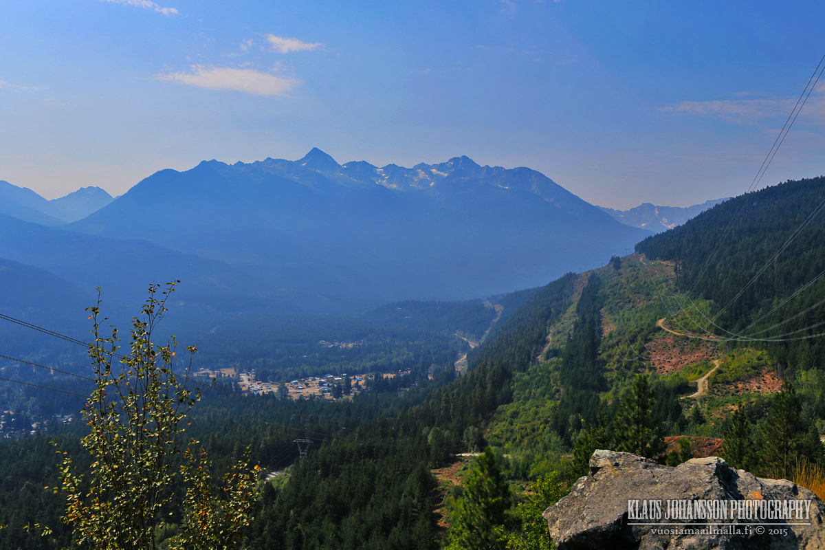
The scenery is amazing.
Honey, are we in the Rockies?
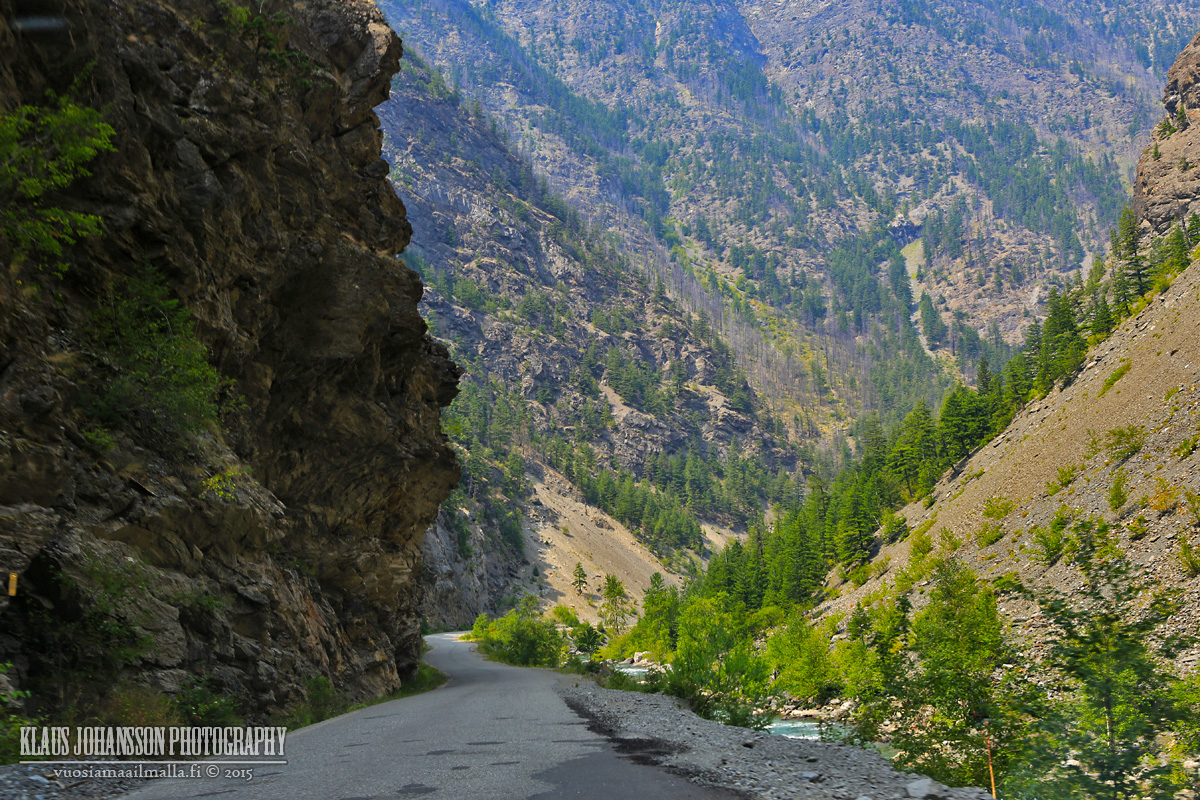
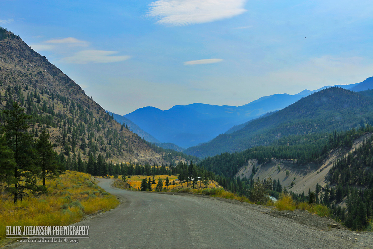
Road to Lillooet.
And there you have it! It is a beautiful drive but be prepared to spend hours traversing it. We had a good time and the weather was good, posing no problems. I hope you enjoyed.
The shuttle is just a tourist thing (apparently a nice one), but locals use the roads. I was also getting the feeling many have their car parked in D'Arcy and take the boat over Anderson Lake to save time.
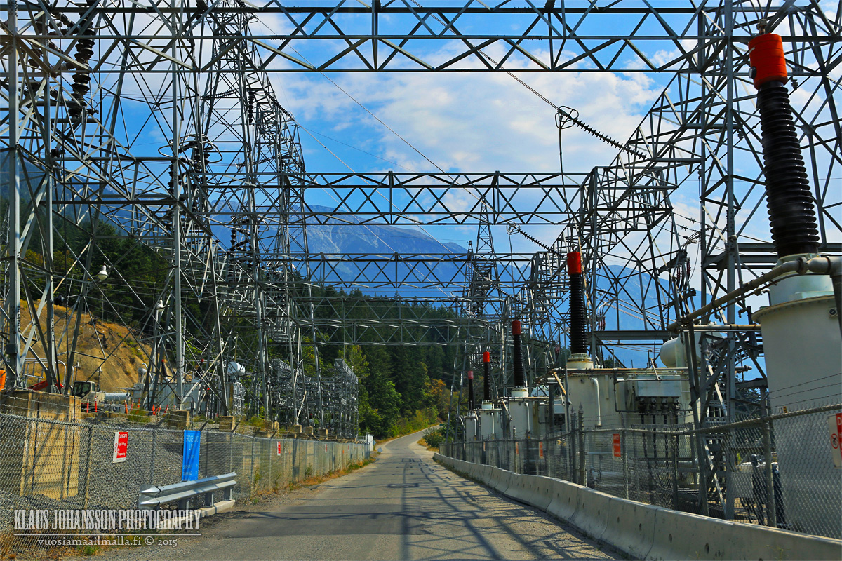
BC Hydro has big operations in Seton Portage and the road from Lillooet is good quality. But the road between Seton Portage and Portage is in bad shape, like mentioned.
Based on Youtube this is a popular ride for motor cyclists and I can see why.
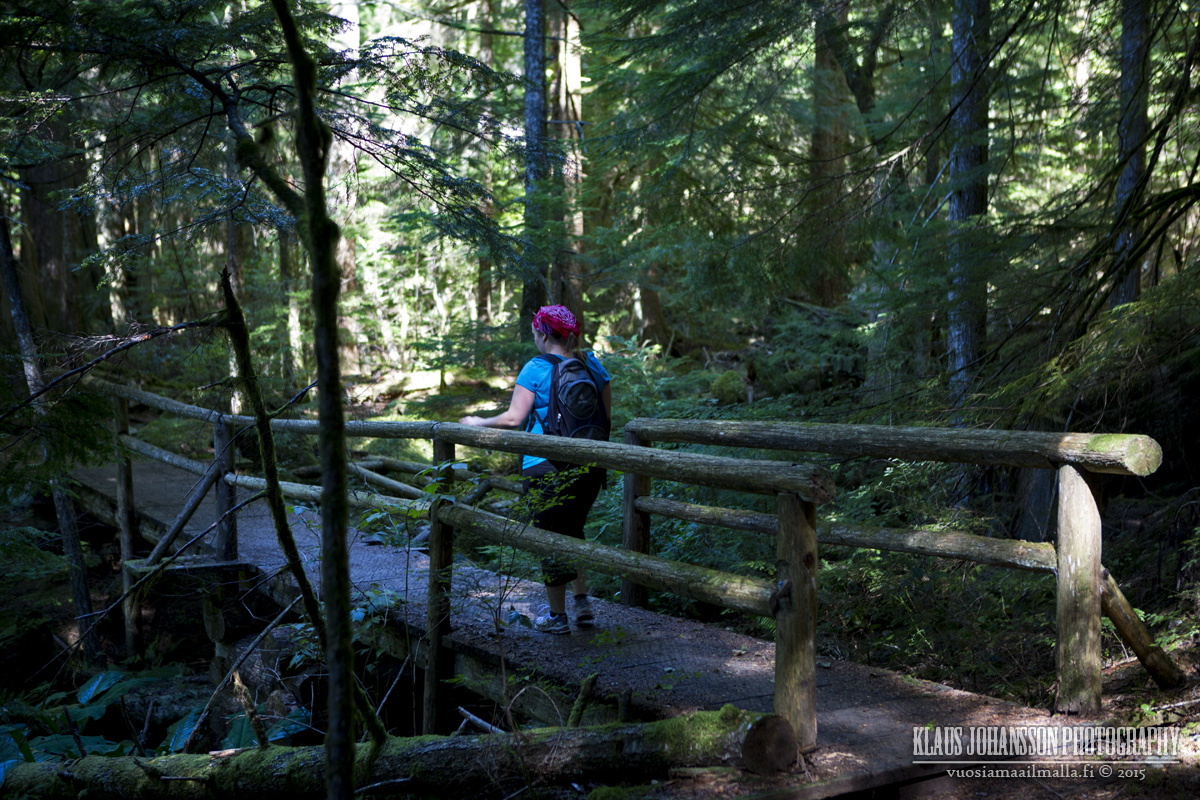
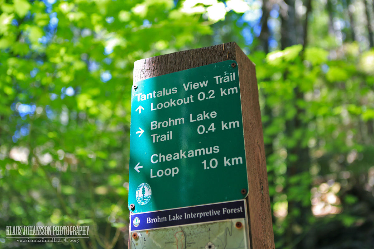
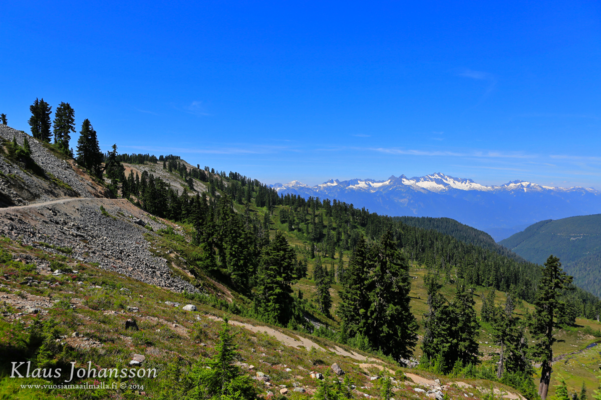
More hiking photos, this time from Brohm Lake along the Sea to Sky Highway, a bit north of Squamish. The trail around this long lake begins dark and gloomy, but gets more exciting very quickly.
Brohm Lake on warm August Sunday.
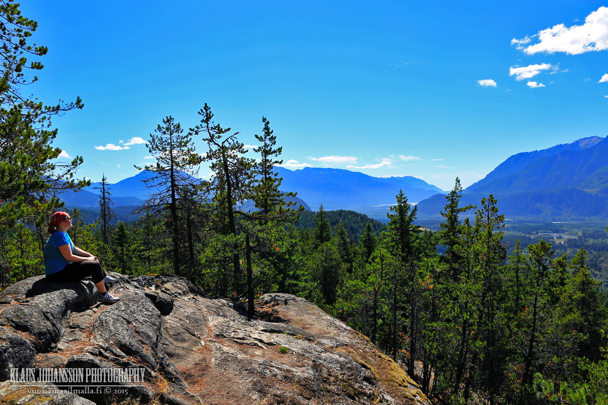
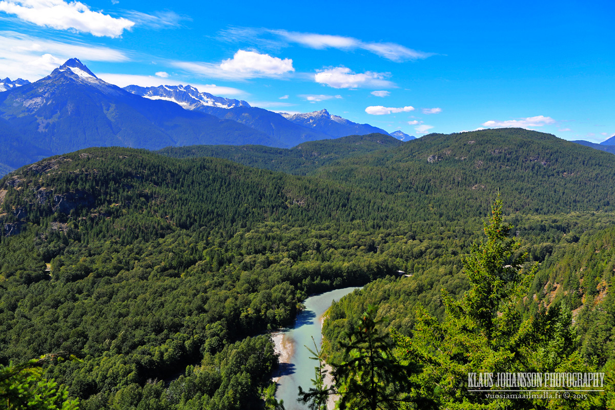
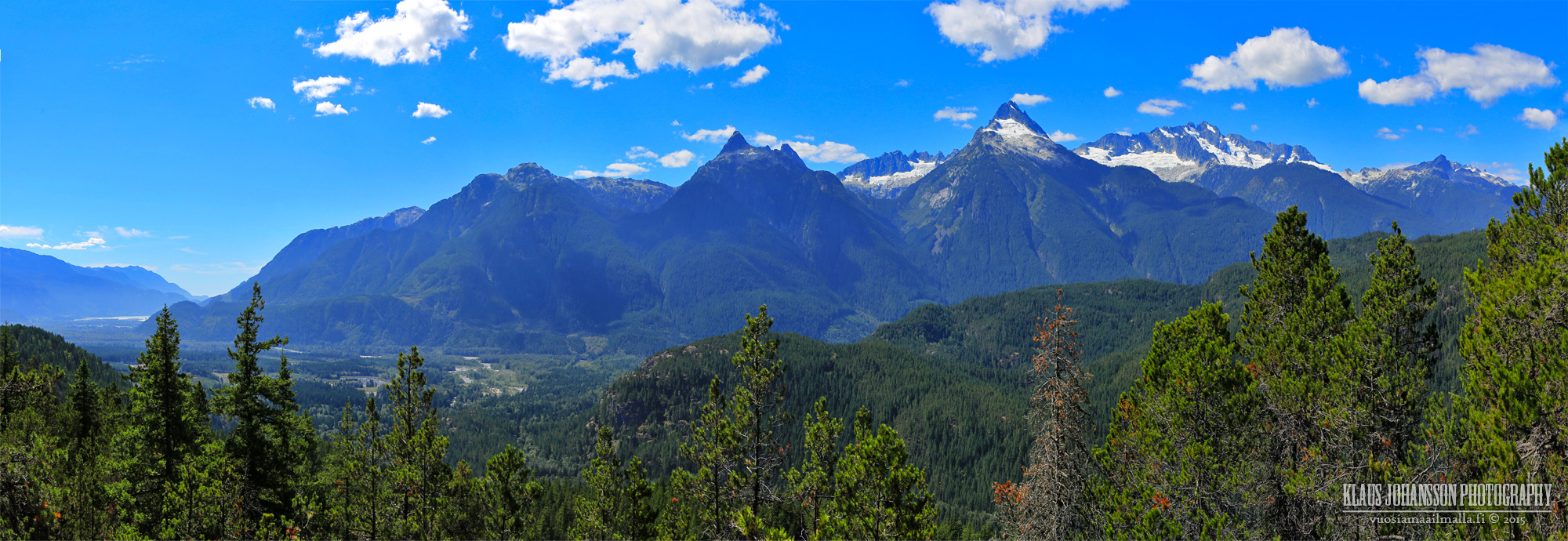
The climb up to the Tantalus lookout brings out the sweat, but it is worth it.
The view from top is breathtaking.
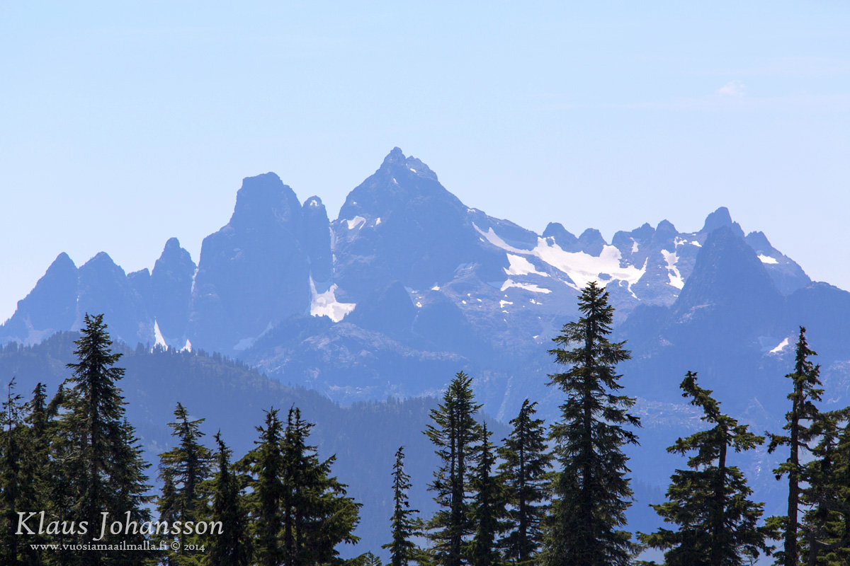
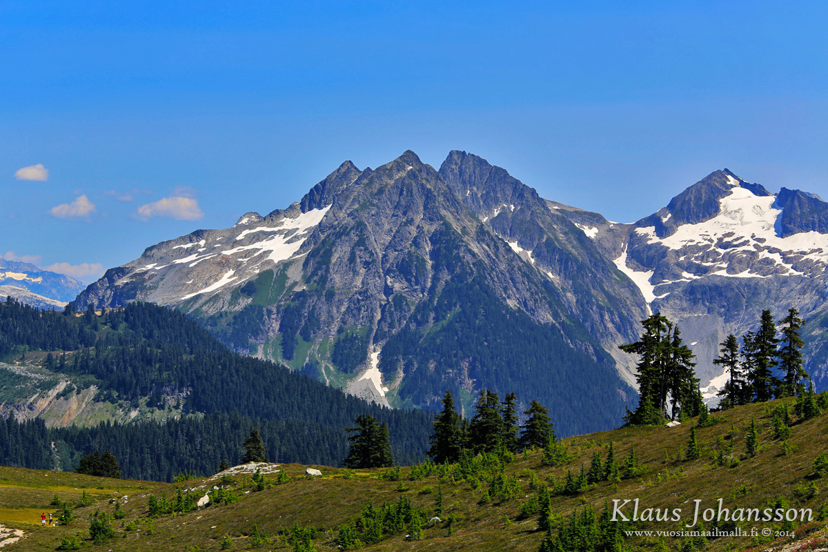
The highest peak in this mountain range is Mount Tantalus (2603 meters). There are glaciers up the mountain even in summer. This range is also very visible from Sea to Sky Highway, but not as spectacular as from this lookout.
Back on loop trail around the ridge.
Back on Sea to Sky Highway. It was a 8 kilometer loop.
It's a popular spot for swimming and no wonder. We didn't have out swimming gear with us, so had to skip dipping in the lake this time.
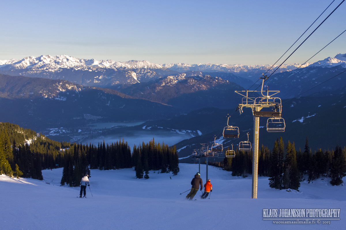
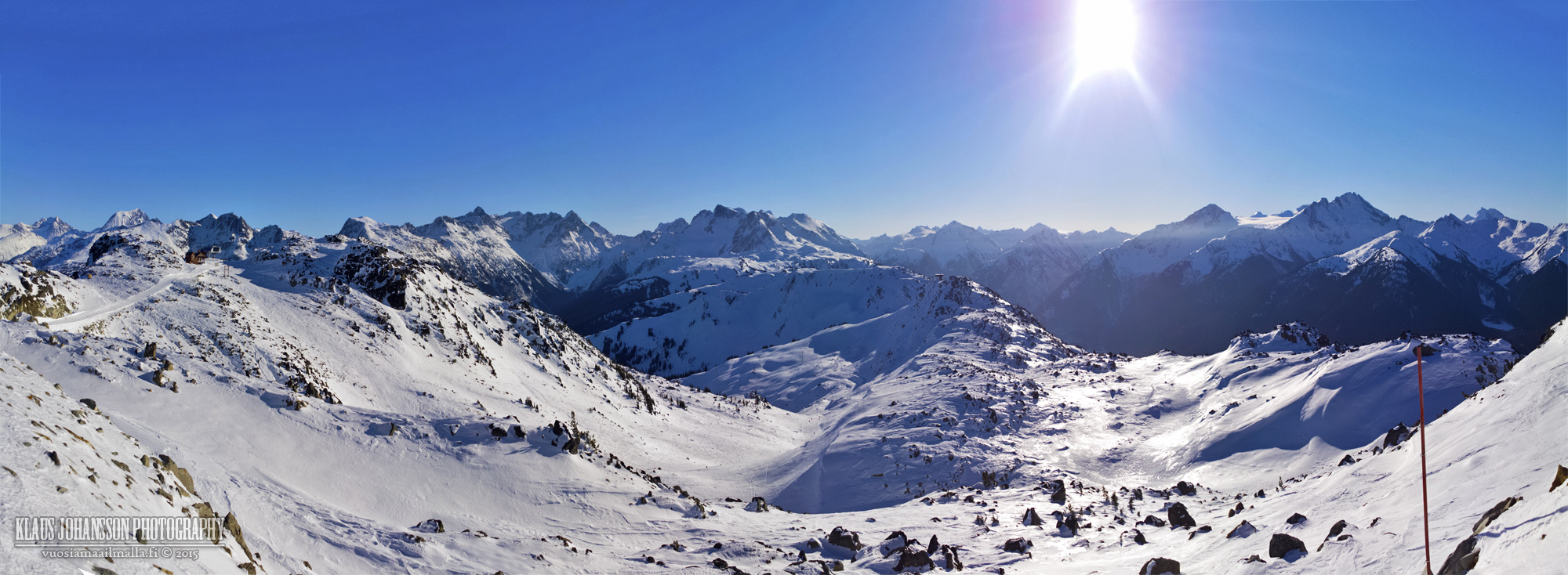
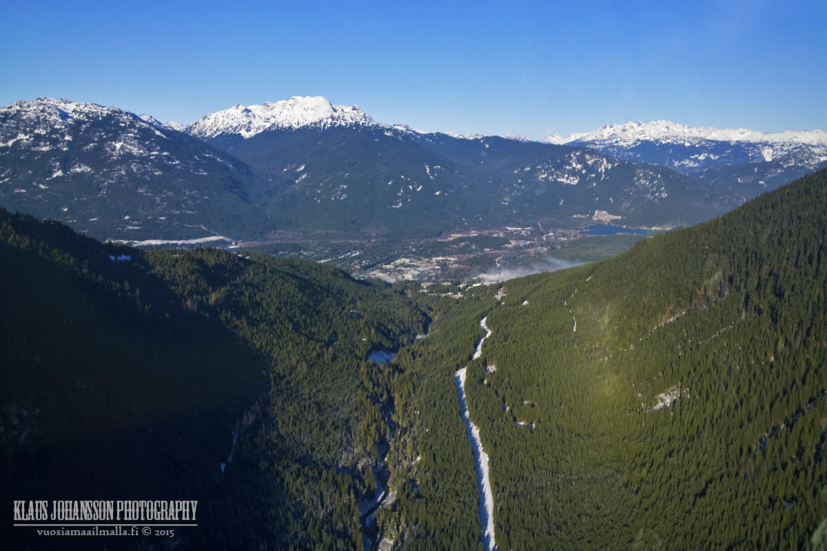
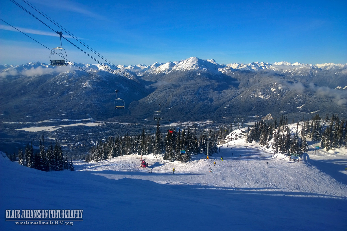
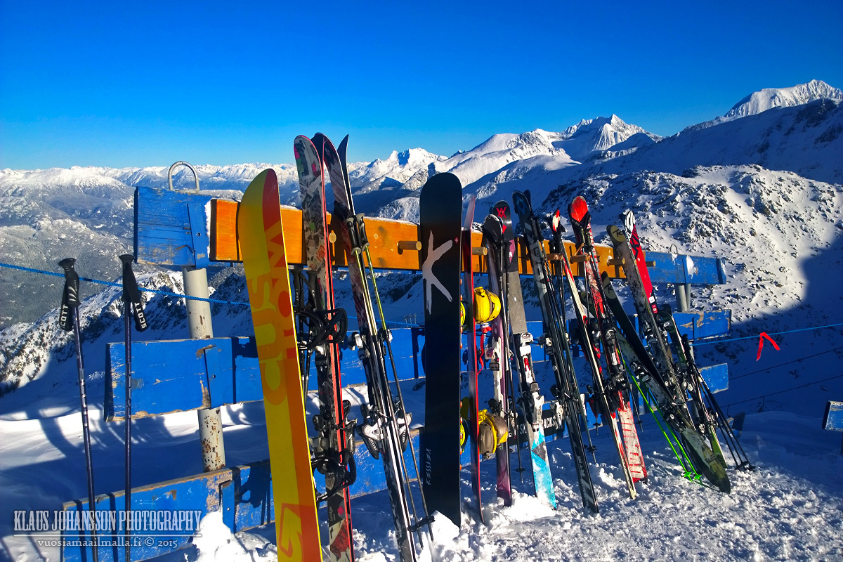
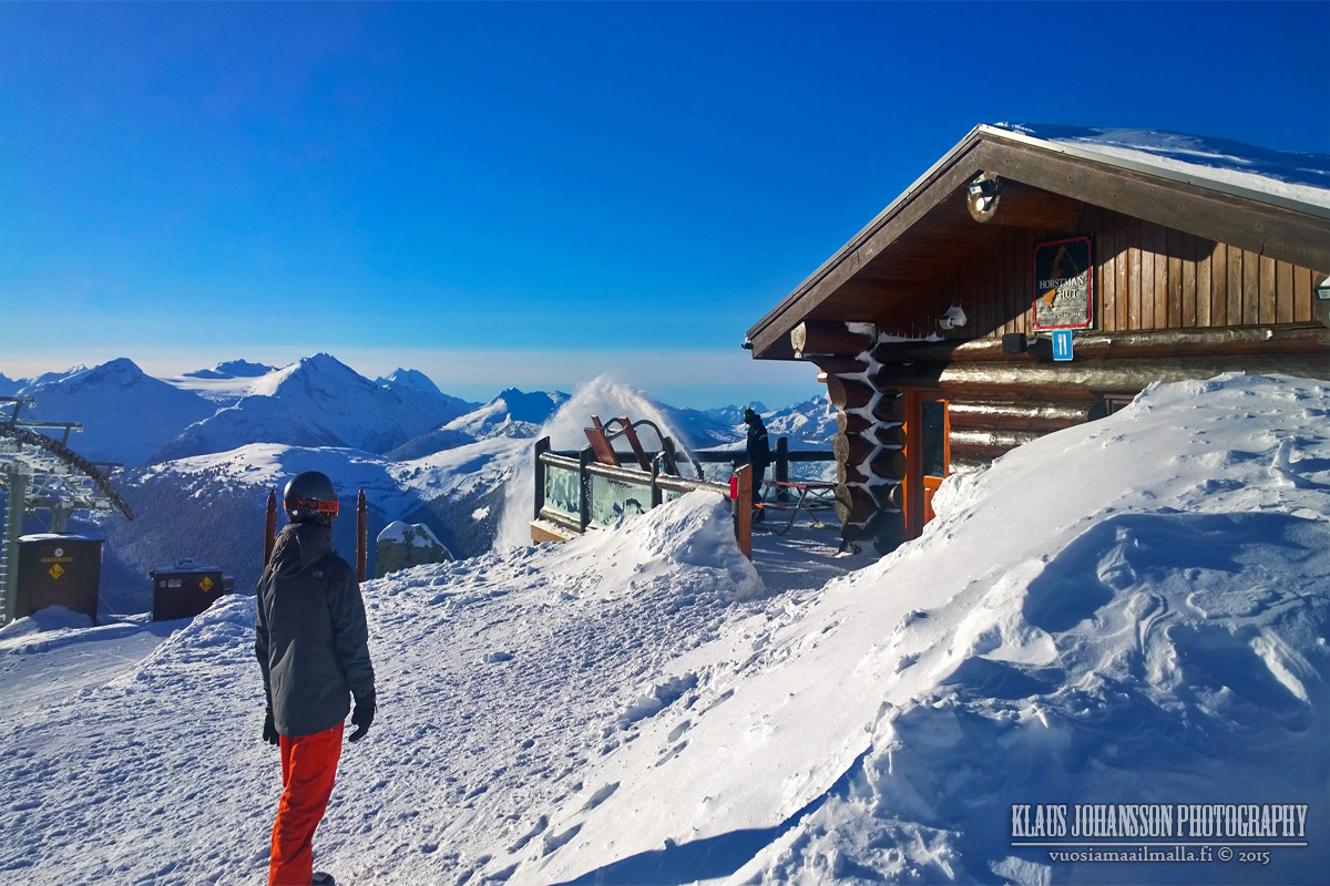
Yesterday we couldn't resist the beautiful blue skies and so we drove up to Whistler to start our ski season! It turned out to be an amazing day, despite only 23% of the runs being open so far. All photos are taken with a cell phone.
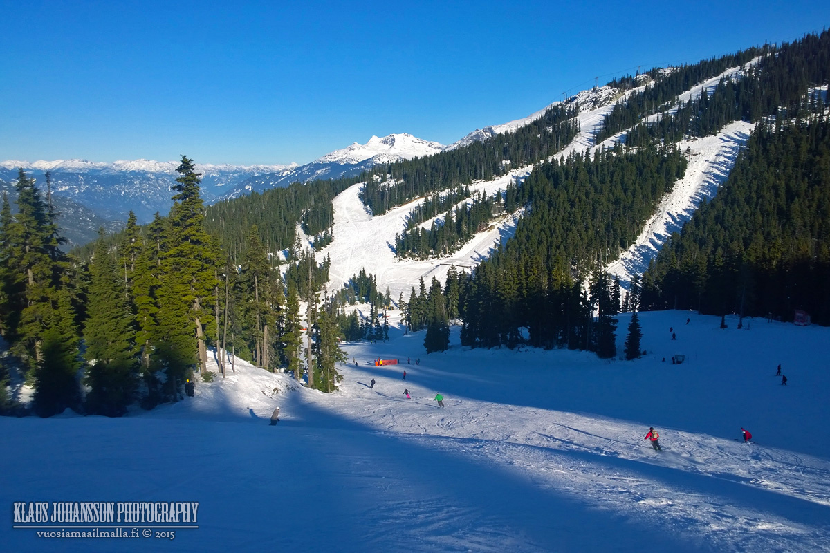
First run of the year as soon as the lifts started running!
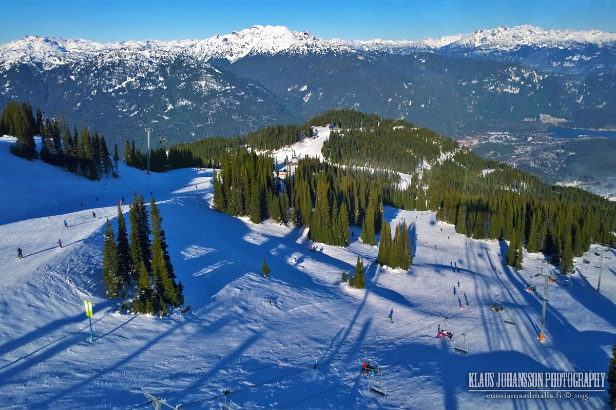
Conditions were great on Whistler side with lots of soft snow.
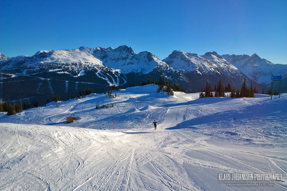
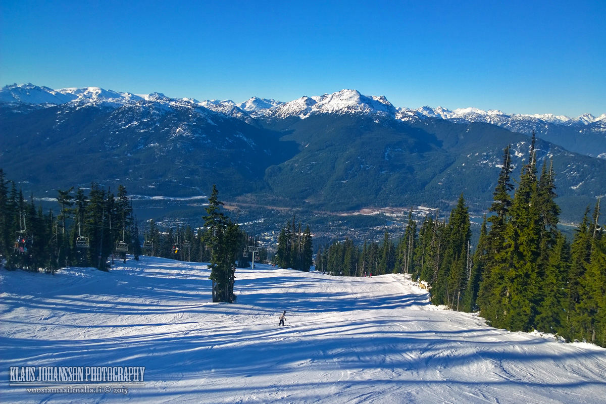
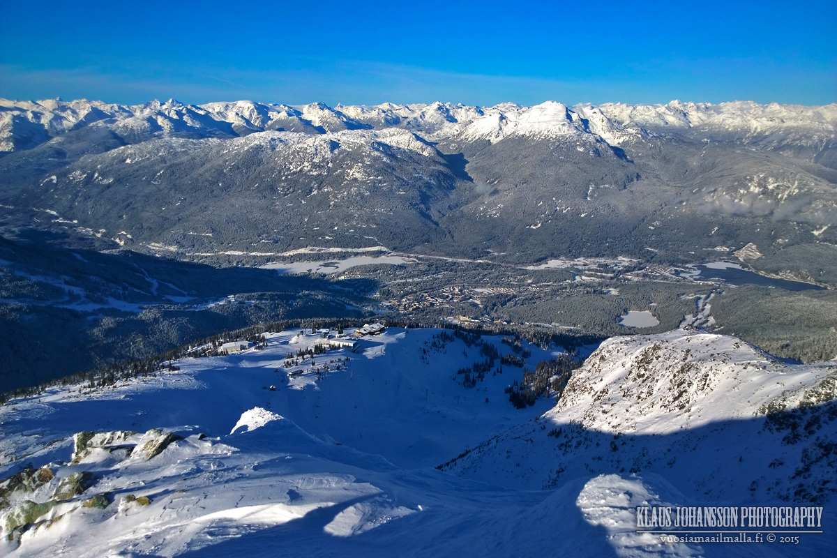
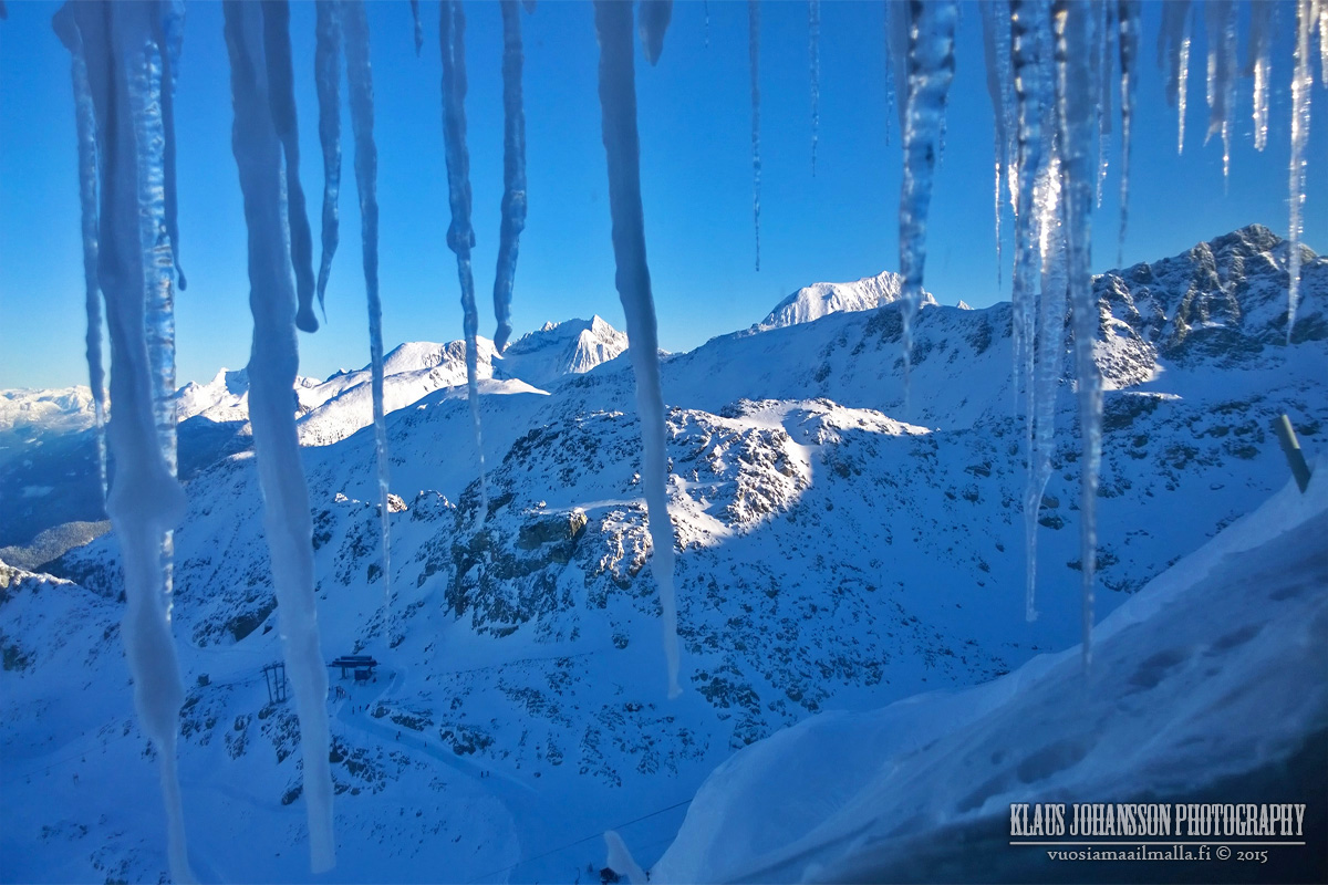
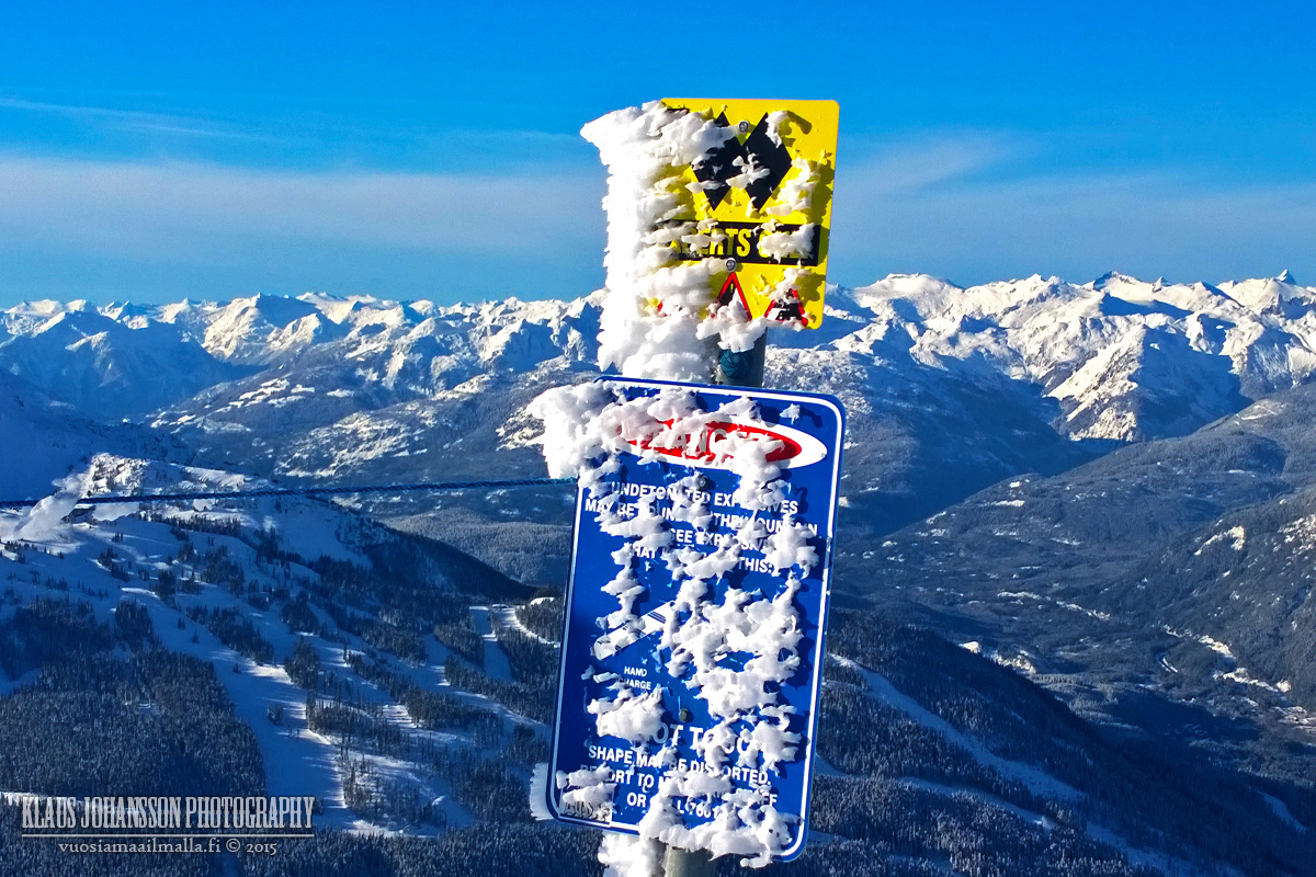
They also have the Peak Chair open, although much of the high-alpine is still closed. The view from top is still superb, as always.
Can't wait for the Harmony and Symphony bowls to open soon!
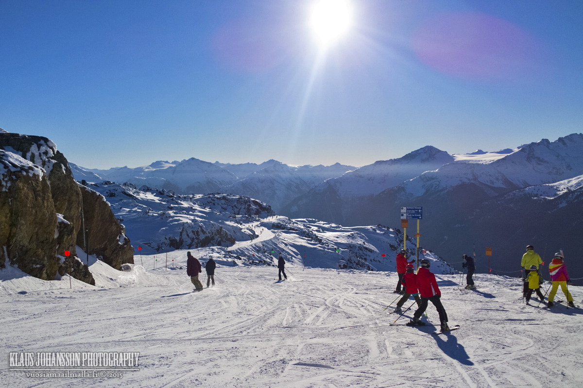
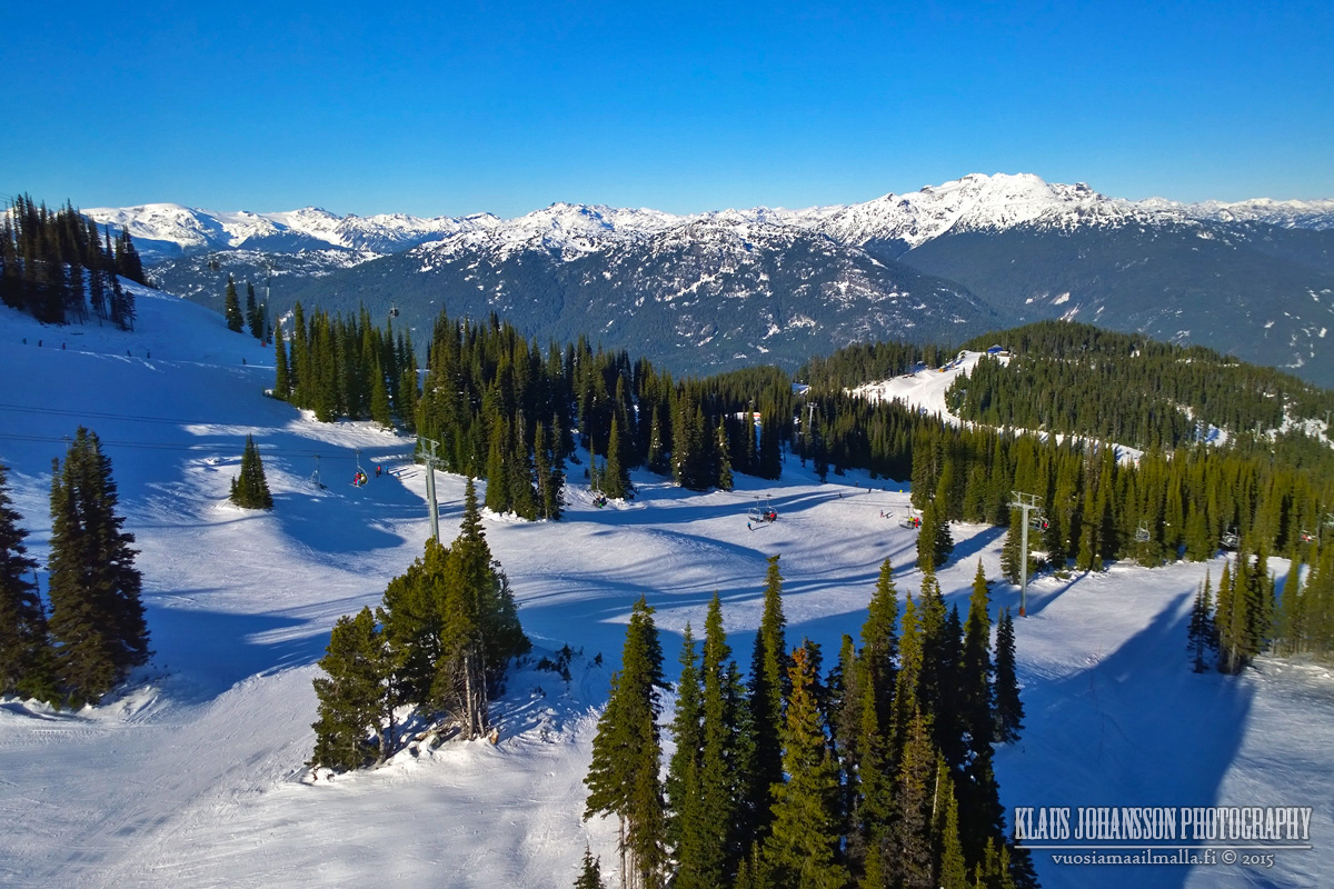
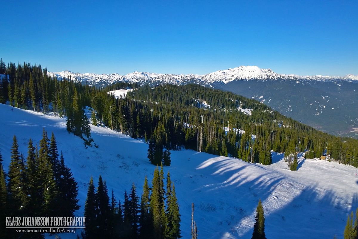
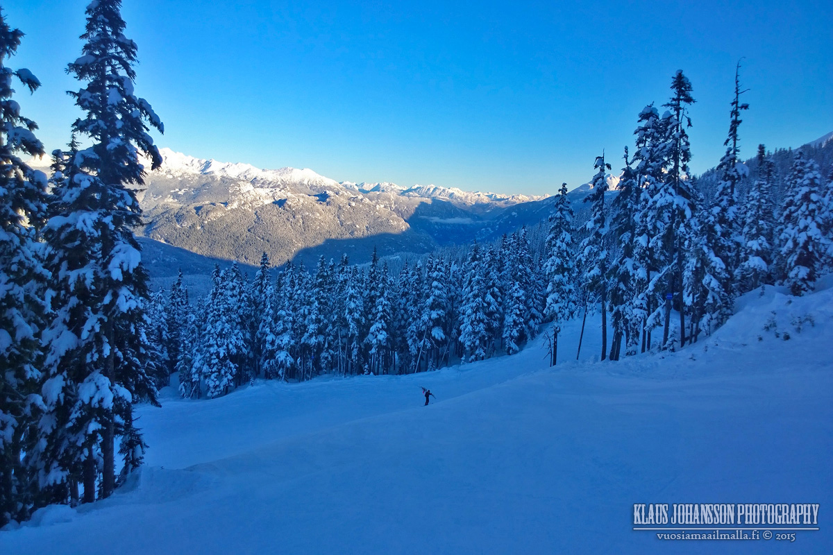
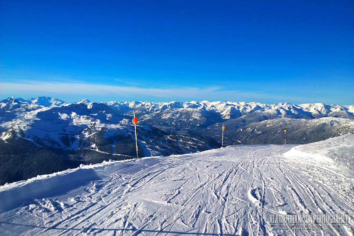
We also checked out the conditions on Blackcomb's side. Few photos from Peak2Peak gondola.
Blackcomb only opened last week and the conditions were not yet ideal. We had few nice runs, but I would stay on Whistler side until few more snow dumps.
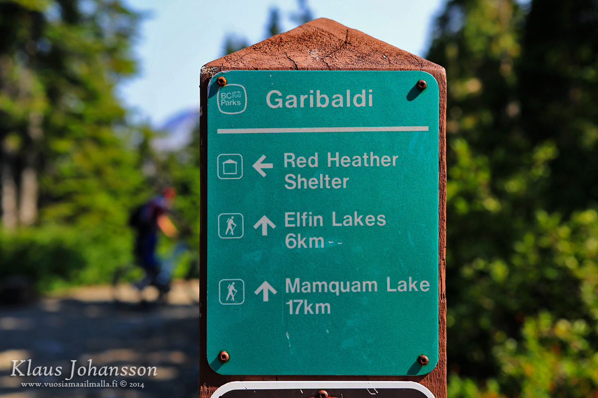
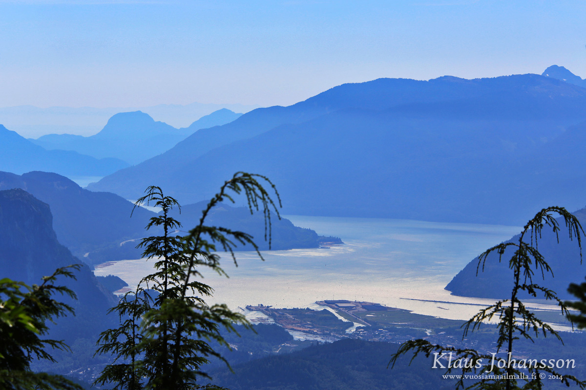
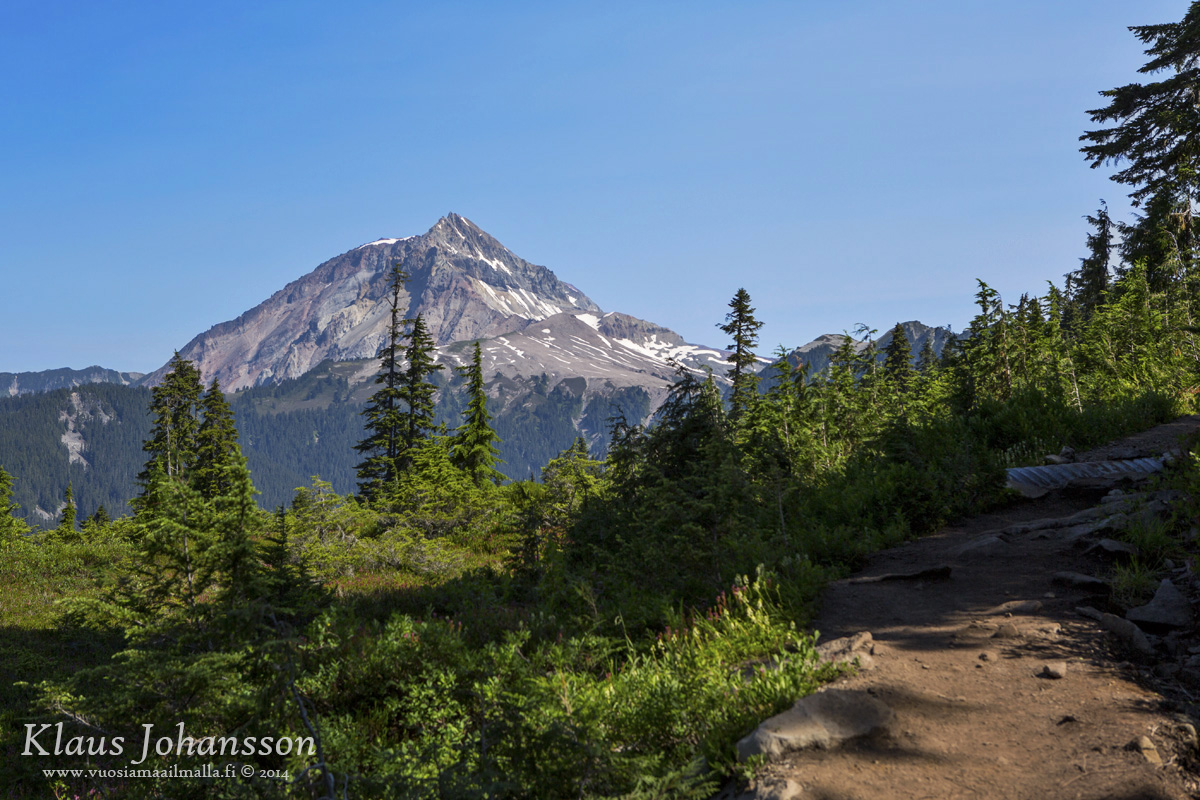
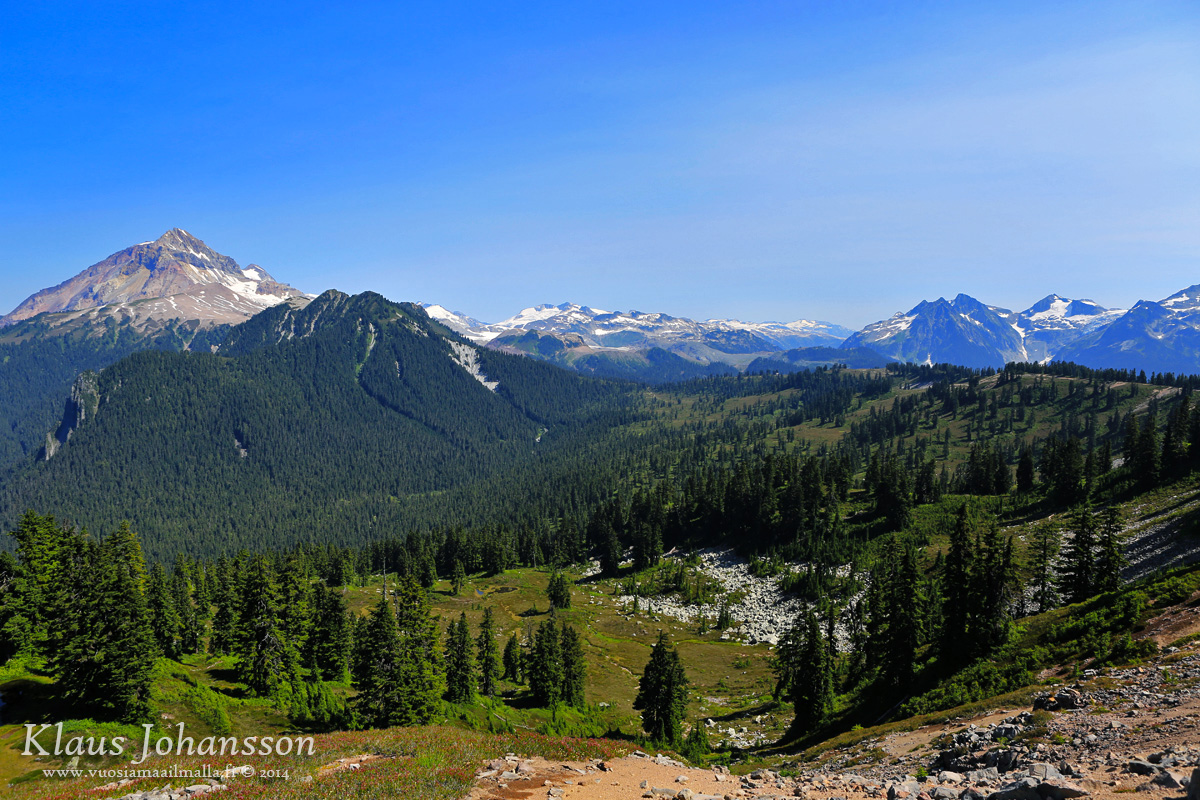
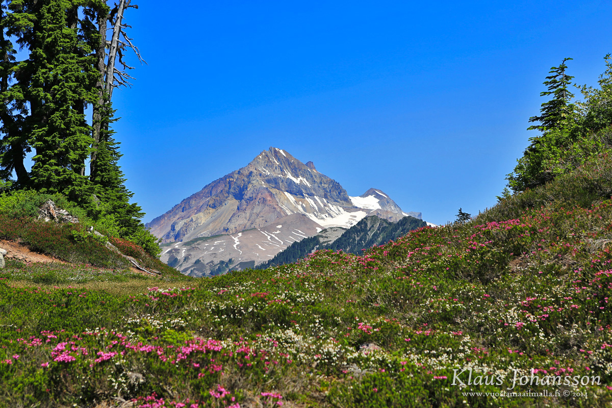
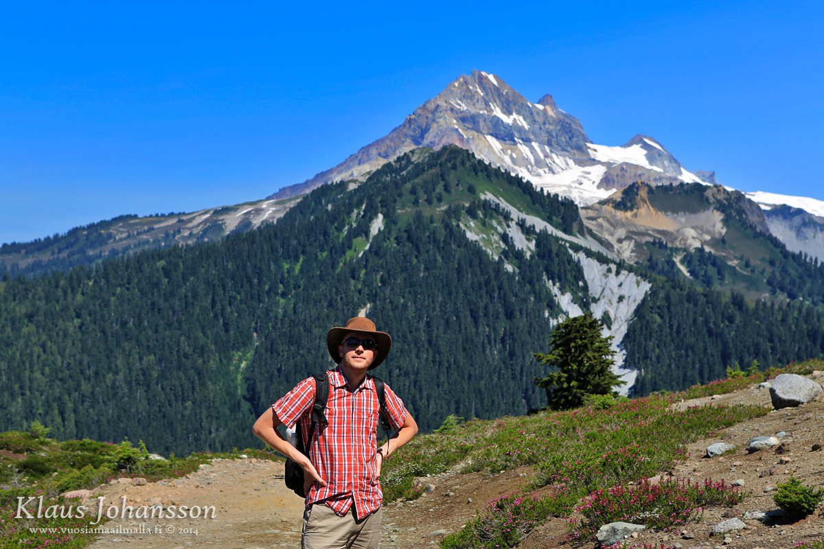
One of the most beautiful hikes we have ever done is the 22km round-trip to Elfin Lakes in Squamish. It's a full day hike through beautiful alpine meadows. These photos were are from August 2014.
Squamish from the trail up. Stawamus Chief can be seen on the left side.
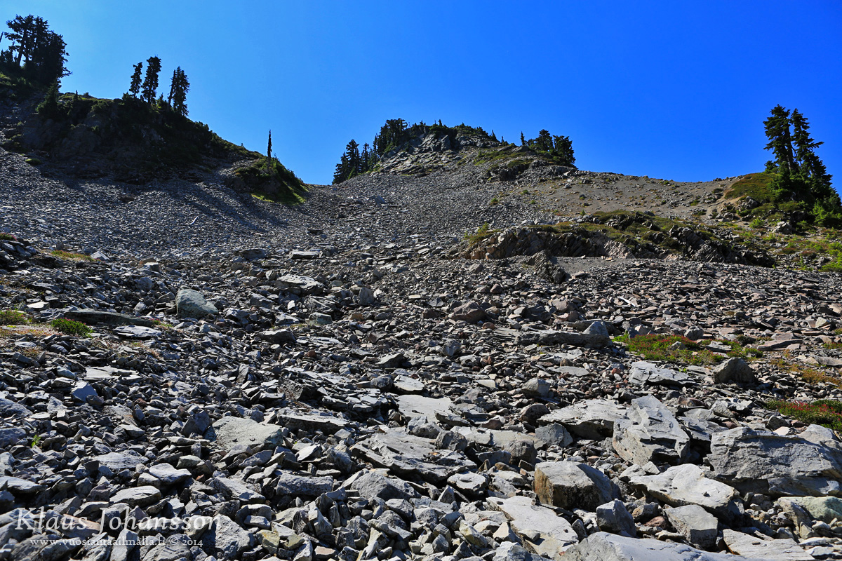
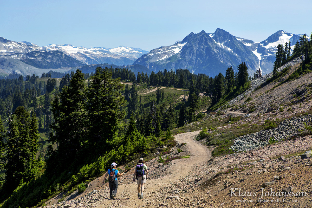
It's an easy yet exhausting trail up to the meadows where forest finally begins to give way for alpine views.
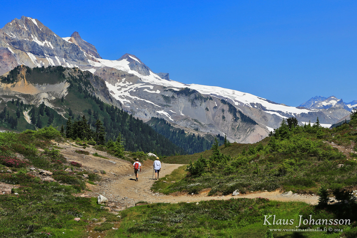
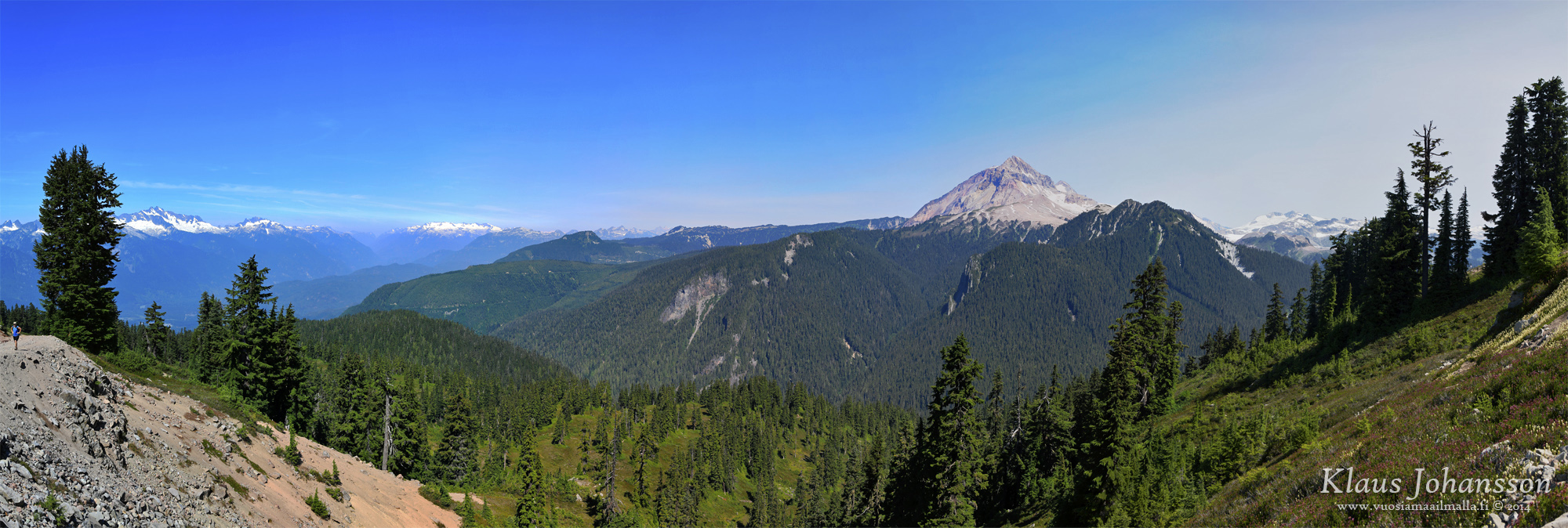
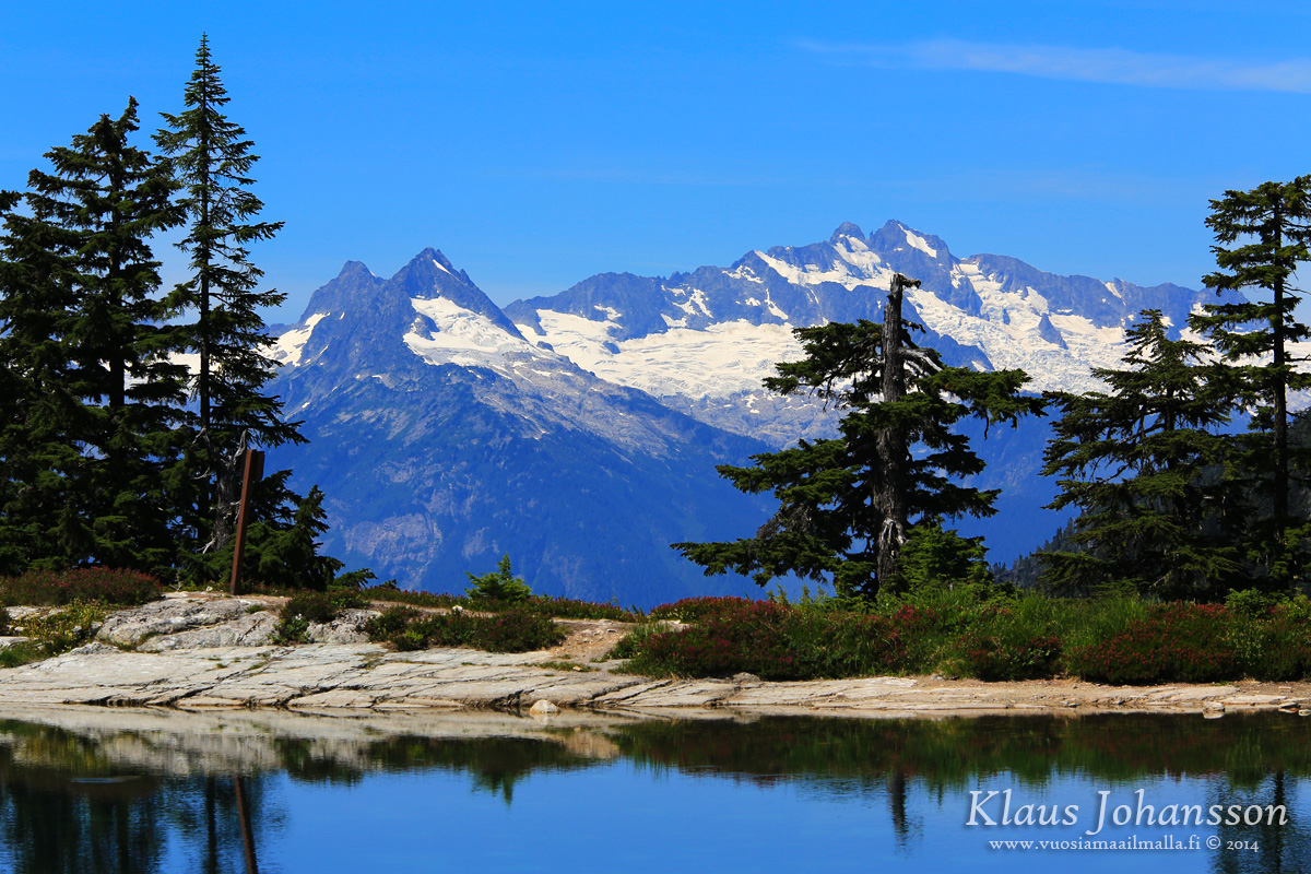
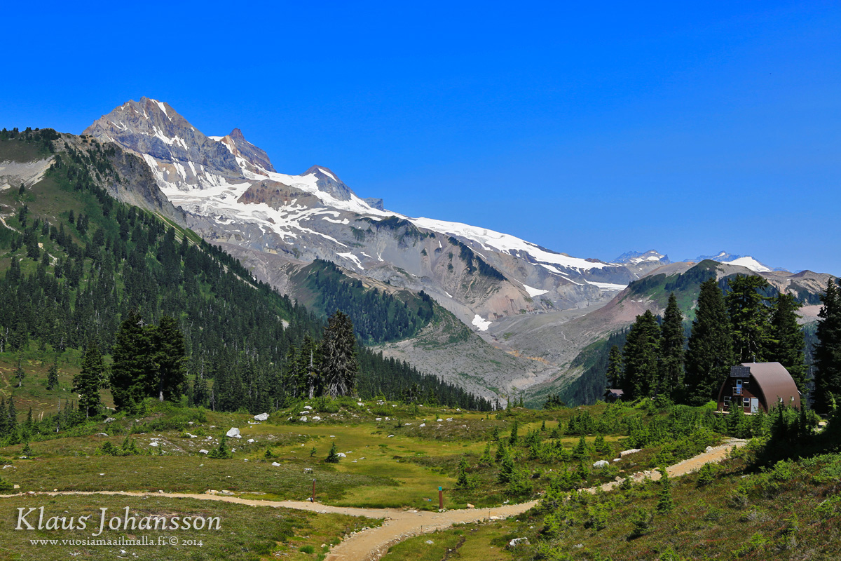
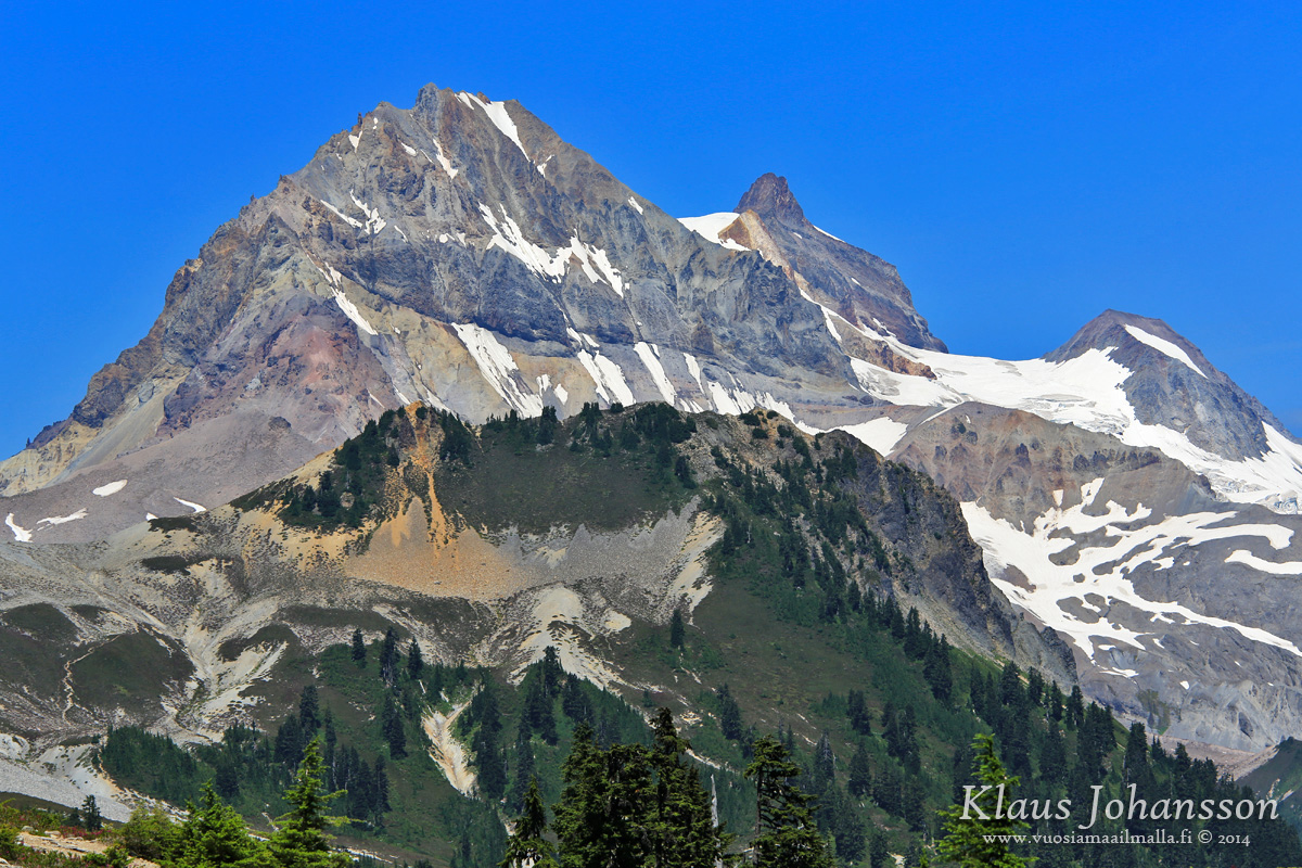
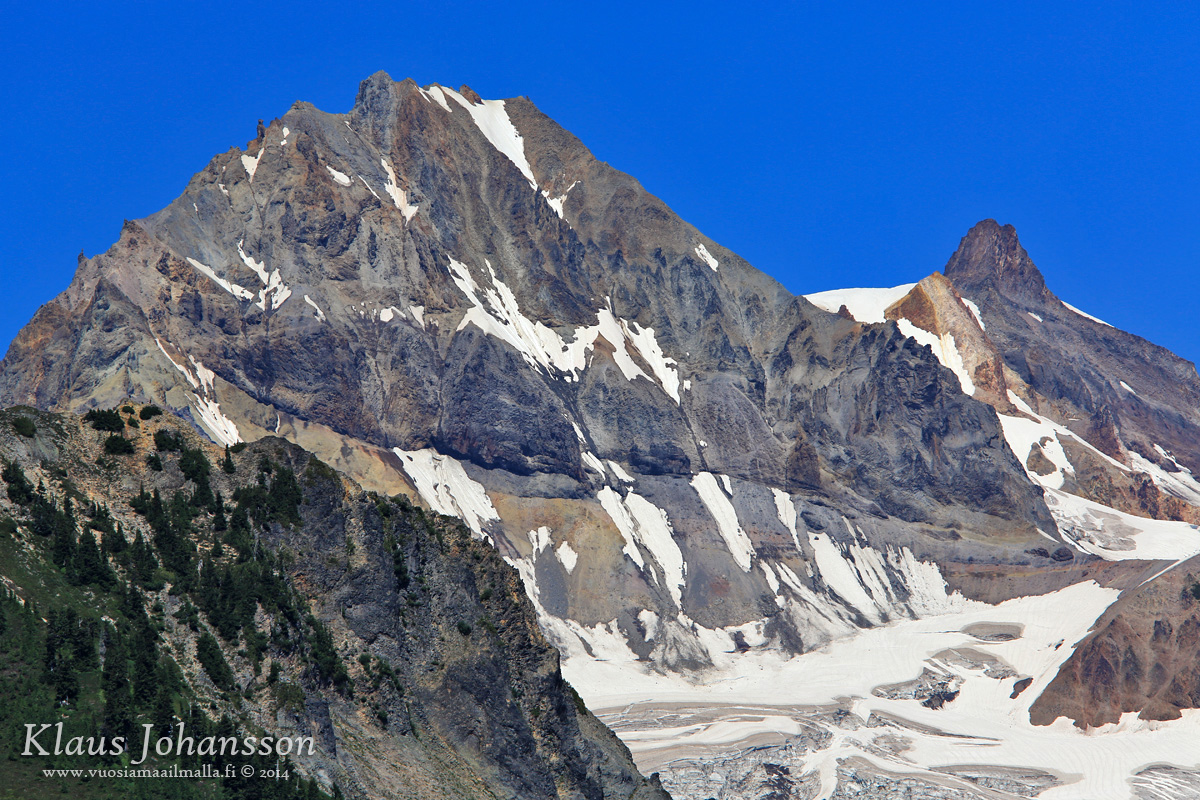
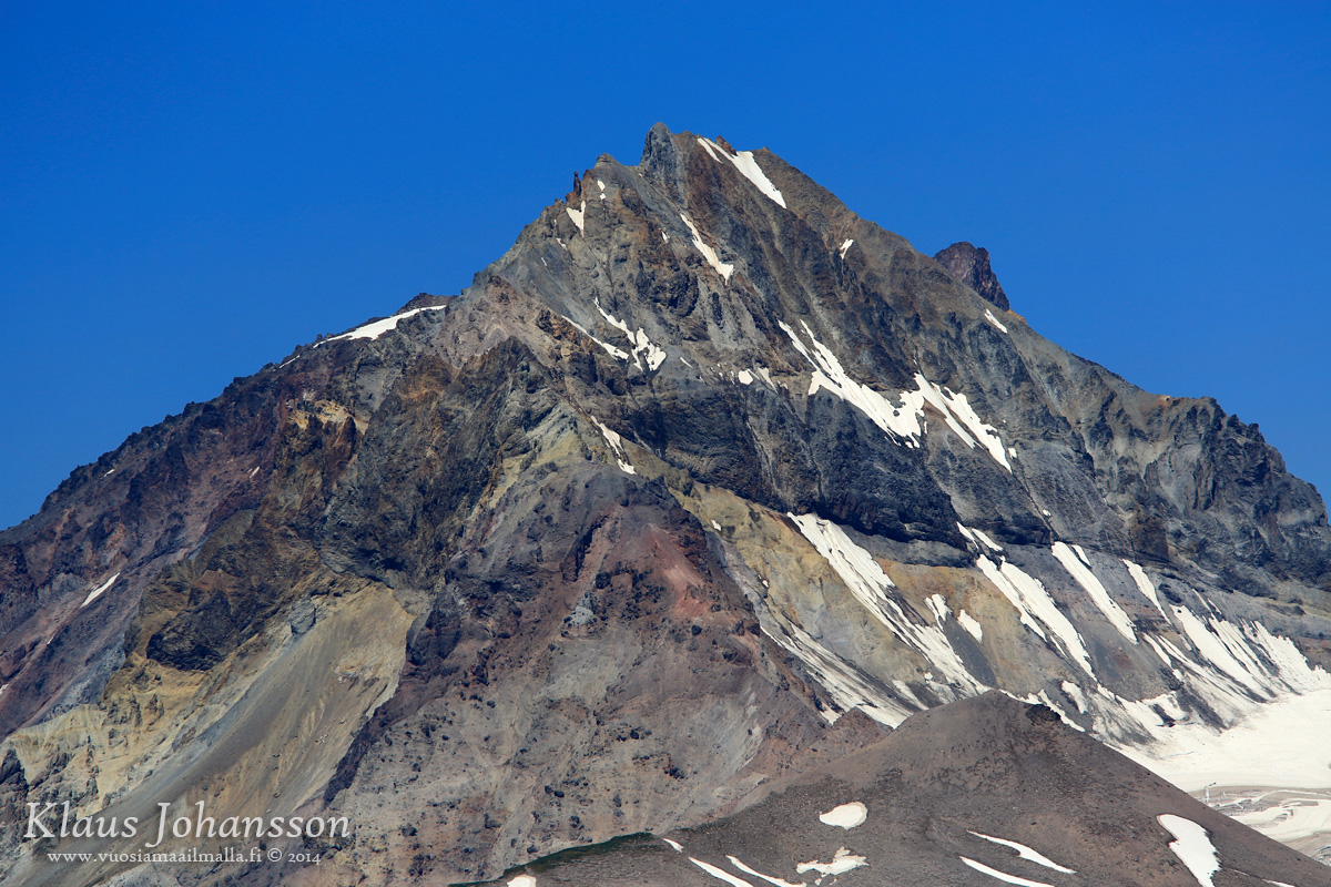
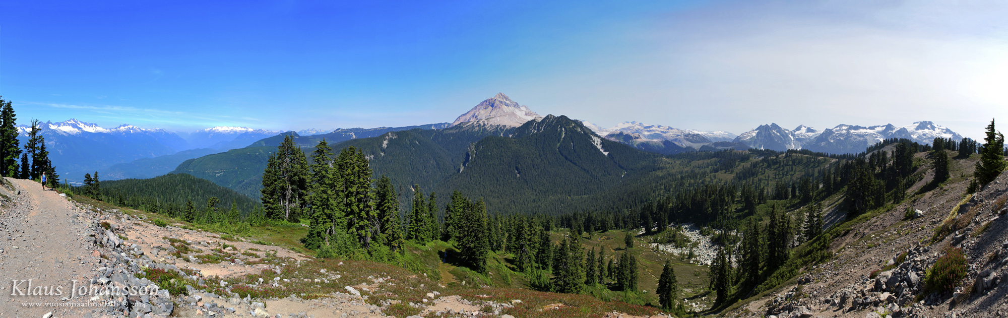
First sighting of Mount Garibaldi (2,678 m or 8,786 ft). The defining summit of the area.
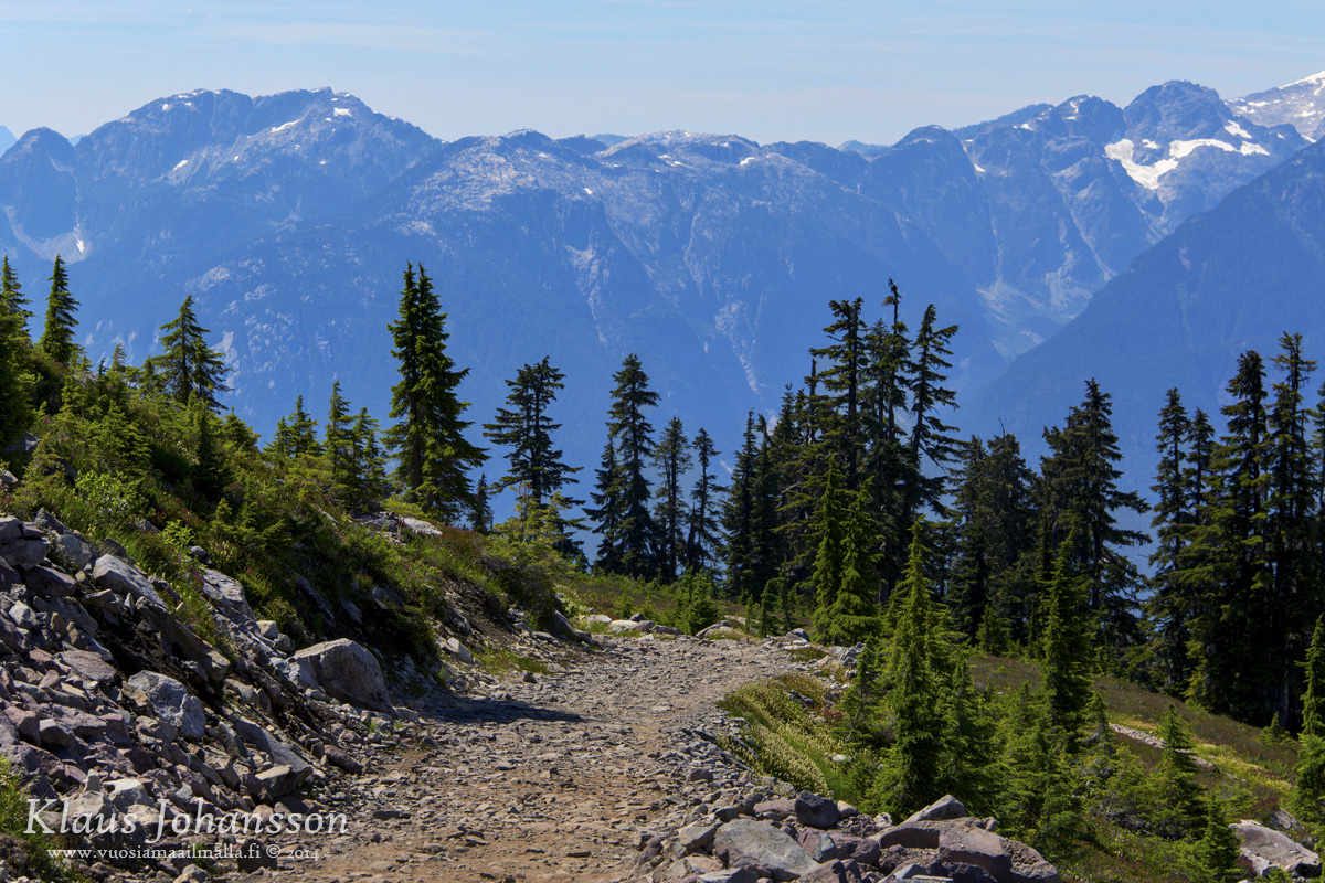
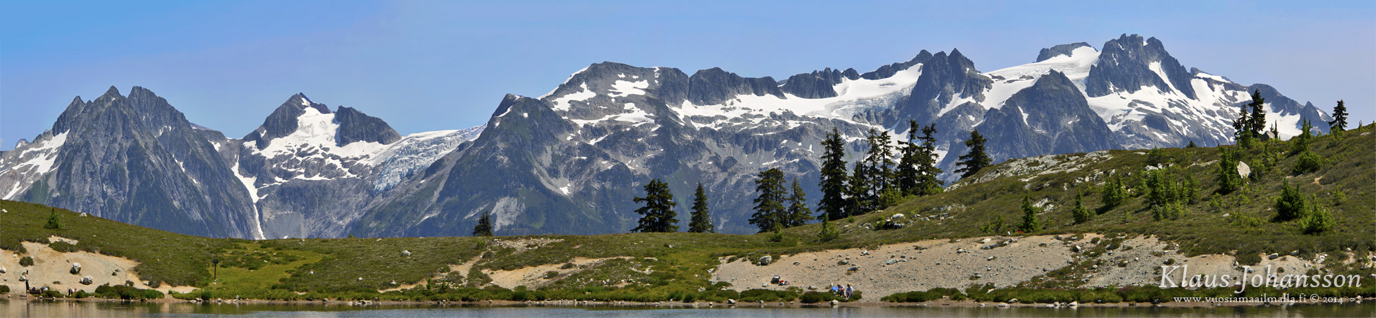
The alpine views are breathtaking.
Garibaldi Valley
The trail continues on top of a ridge towards Elfin Lakes.
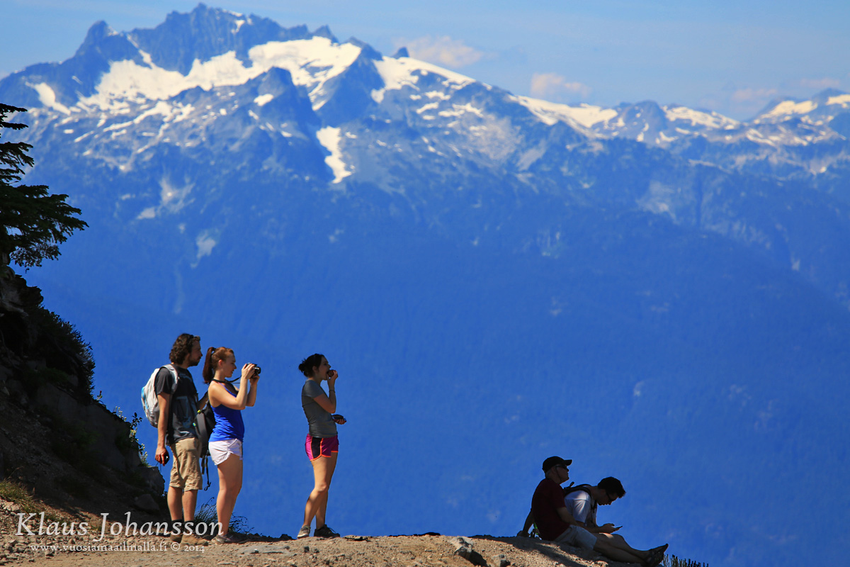
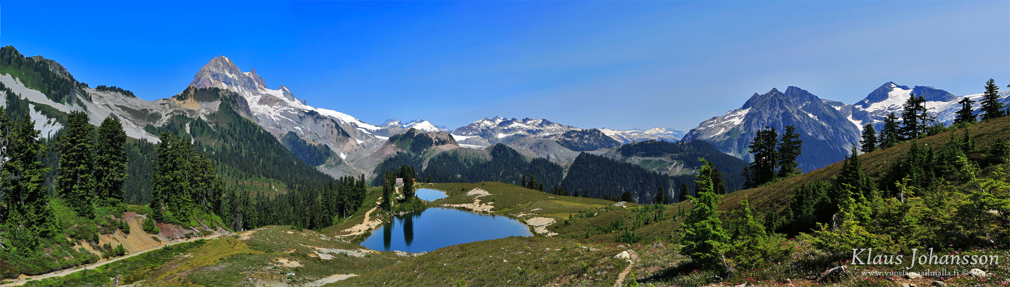
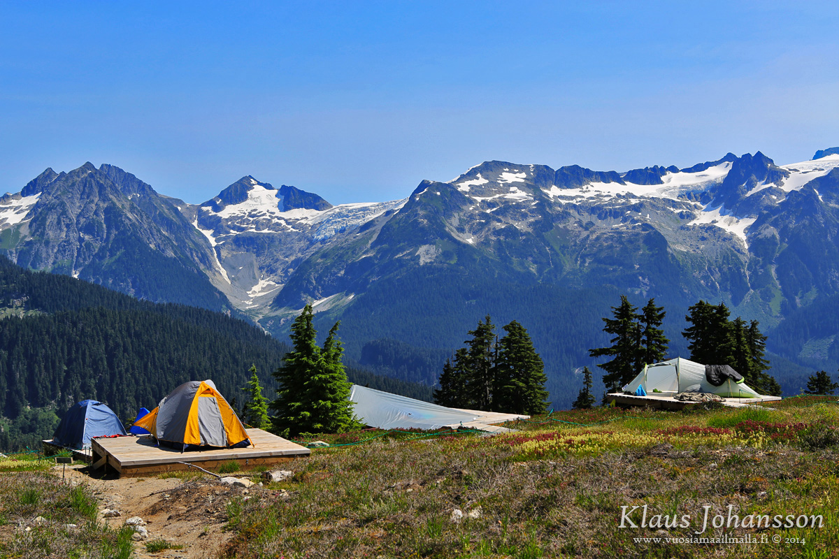
Finally after a 11km walk one reaches Elfin Lakes! Time to eat a lunch and enjoy the view!
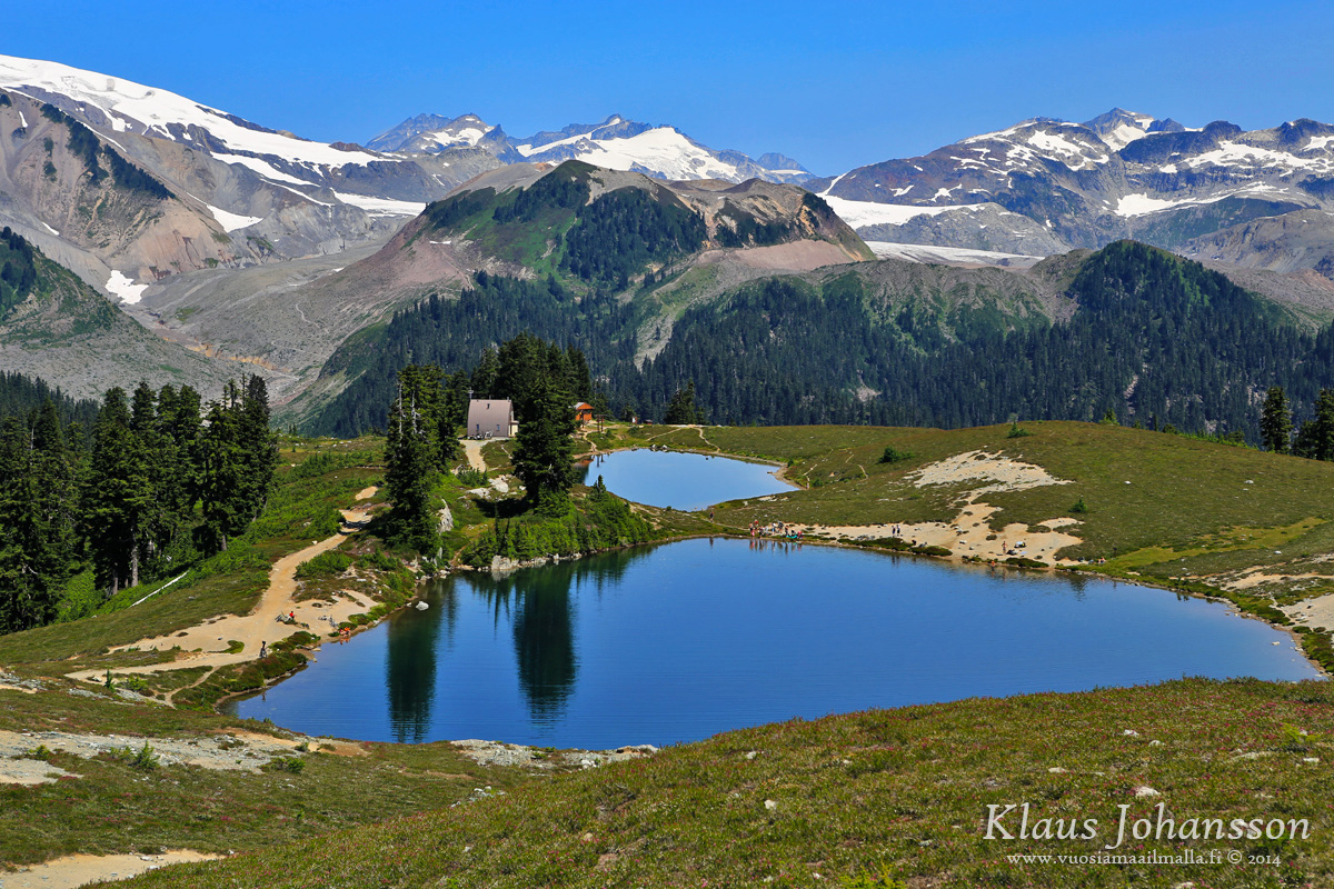
The crystal-clear lakes get their water from rain and melting snow. The smaller lake is used as drinking water by people staying overnight, whereas one can swim in the larger one.
What a place to stay overnight!
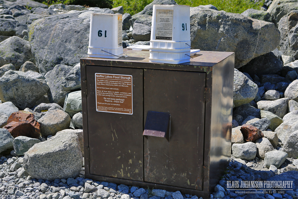
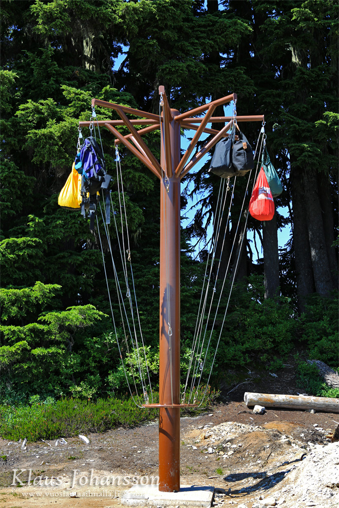
All food must be hidden from bears that frequent the area.
The trail would continue towards Mamquam Lake, however you will need another day for that.
Unfortunately even here one can find some clear-cut mountain faces.
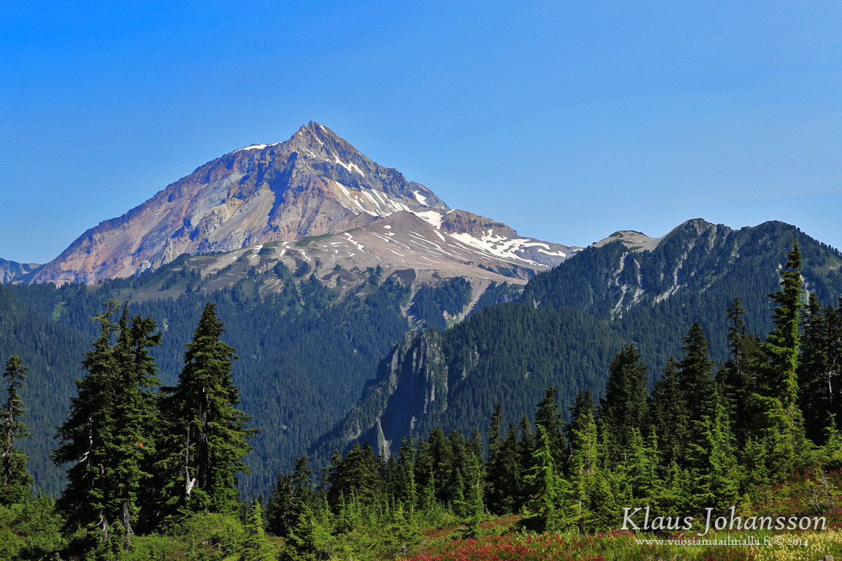
The majestic Mount Garibaldi.
After such an amazing day, it is sad to leave the place behind.


 Prev
Prev


 Linear Mode
