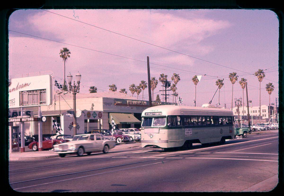
The seller dates this slide at May 12, 1960. A quick check of the CDs tells us that Johnny Williamson's Williamson Motors was at 3153 W Pico Boulevard. The 1956 CD also lists a Williamson Motors gas station at 3131 W Pico, but that's gone by 1960. The 1960 CD does, however, list another branch of Williamson Motors at 1315 S La Brea Avenue. By 1961, the branch at 3153 W Pico has moved to 3131 W Pico (the old gas station address), and been replaced by Chieftain Pontiac at 3153 W Pico. The branch on S La Brea has also gone, but a new one at 4661 W Slauson has appeared. I haven't checked every CD in between, but the last mention of Williamson Motors is at the W Slauson address in the 1969 CD.
Back to the picture - is that a brand new Plymouth Valiant on the left?
eBay
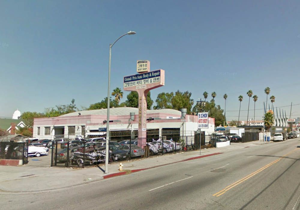
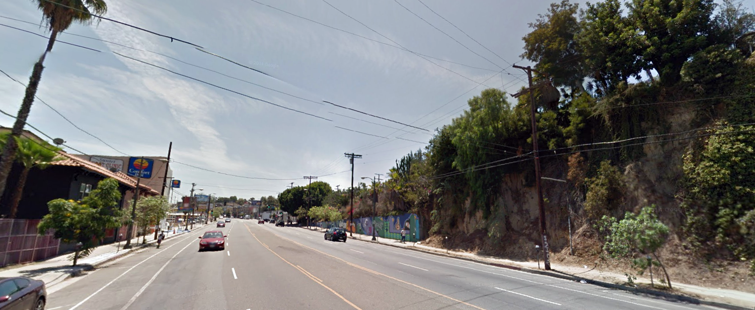
The building survives (with additions), as do the palm trees on S Manhattan Place.
GSV
Just before I posted these images, I searched the thread and found that
GaylordWilshire had posted a couple of nice pictures of Williamson Motors at 3153, and 3131 W Pico in
post #11893. He also mentions the move to W Slauson.


 Prev
Prev


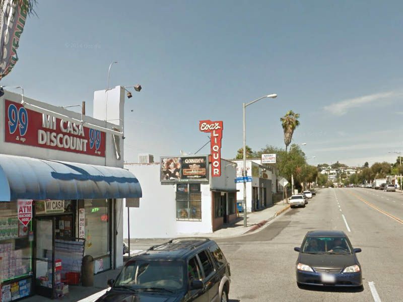

 Hoss, thanks for figuring out the location of my slide! It's great that the old blade sign is still intact....but I bet Eva is long gone.


 Linear Mode
