Haven't posted any old or related photos for awhile.... found all these online and were traced to The Spec or library archives.
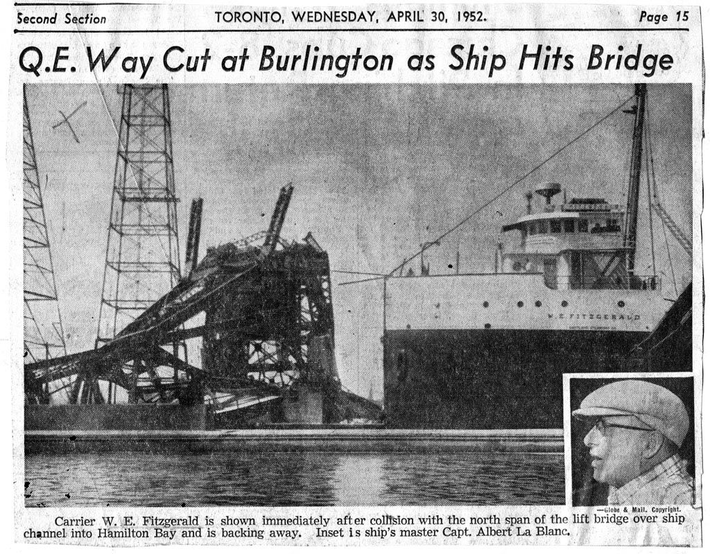
Here is a pic of the W.F.Fitzgerald moments after striking the bridge. She is backing up to enter the bay via the south channel.
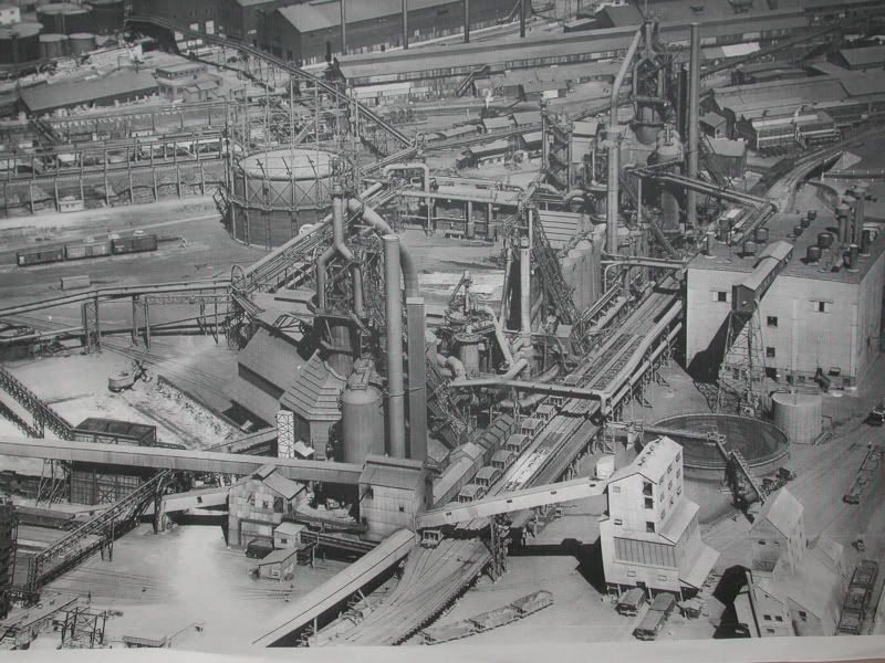
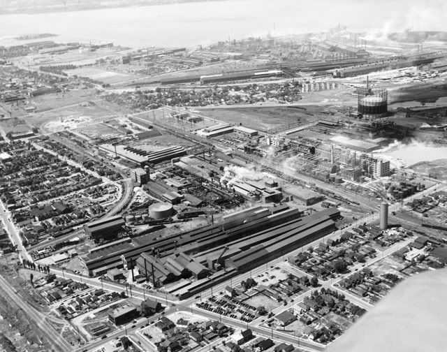
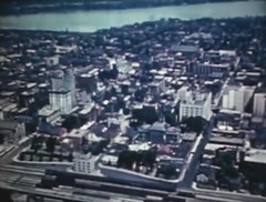
Aerial view.... part of Stelco 1953.
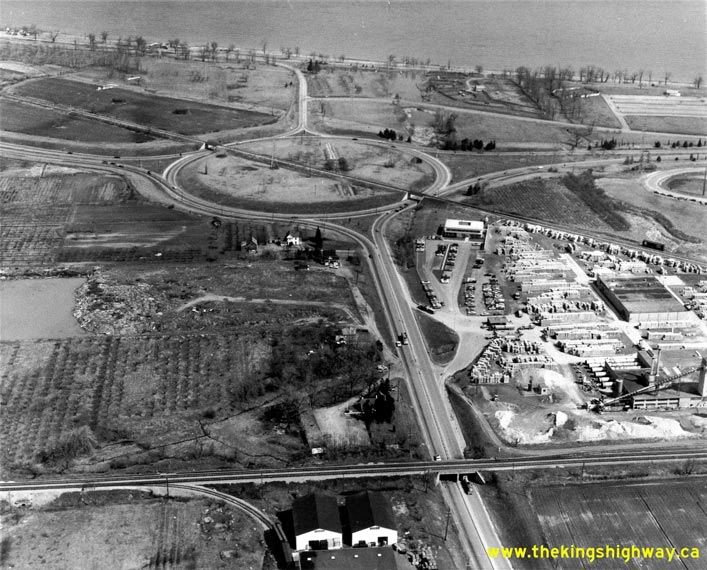
The Stoney Creek Traffic Circle
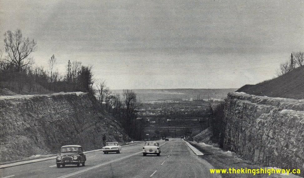
Heading down Hwy. 20 into Stoney Creek. Note the hydro line atop the cut.
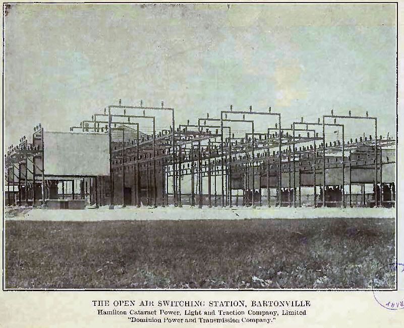
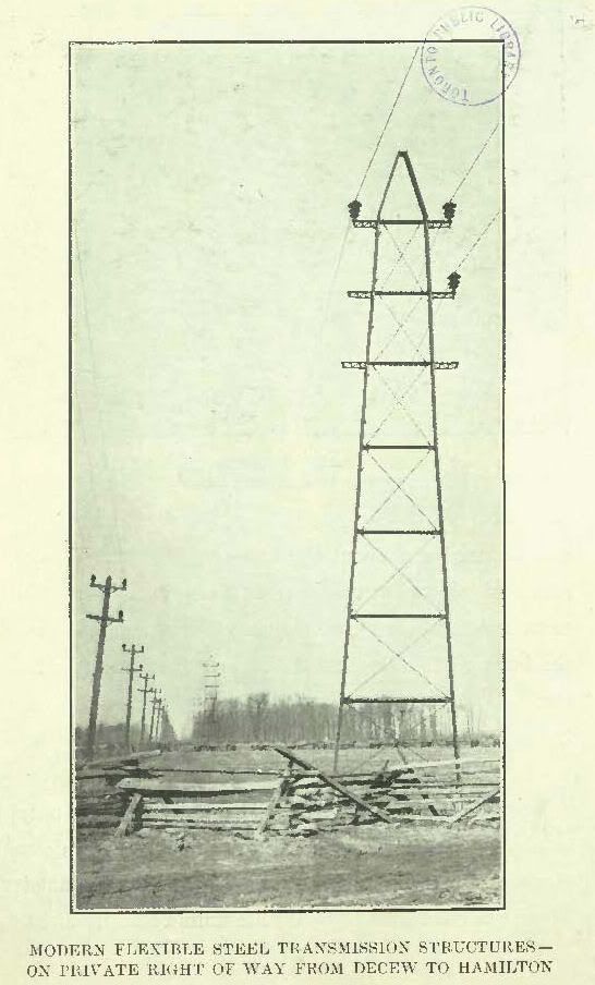
This was the first direct long distance transmission of power into Hamilton in 1898 from Decew Falls.
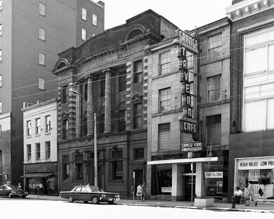
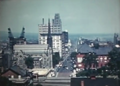
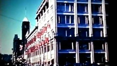
King Street West (south side) between James & McNab.
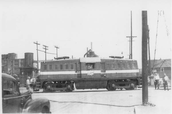
One of the early locomotives used by Dofasco to shunt cars on their property.
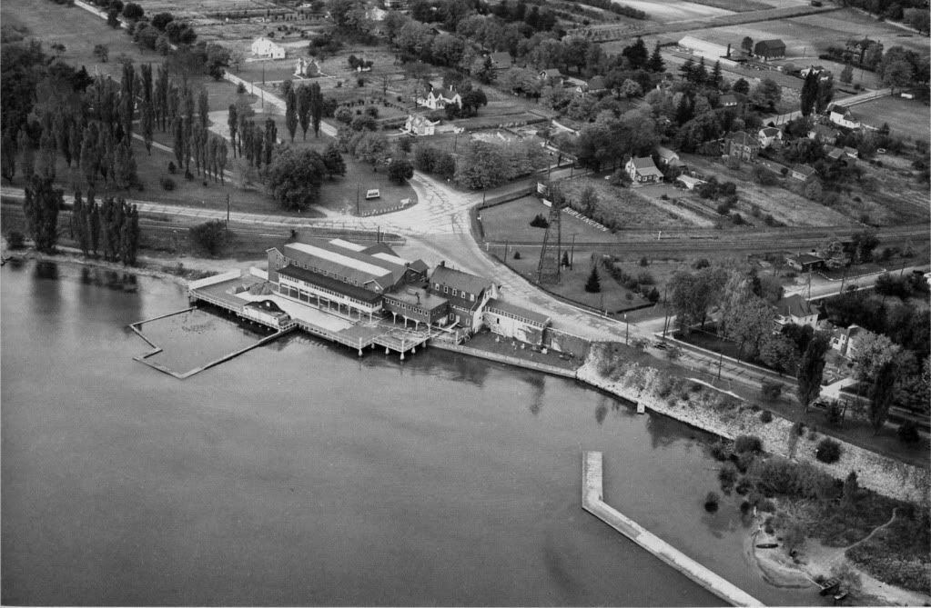
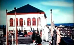
The Brant Inn viewed from the air.
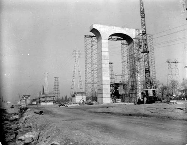
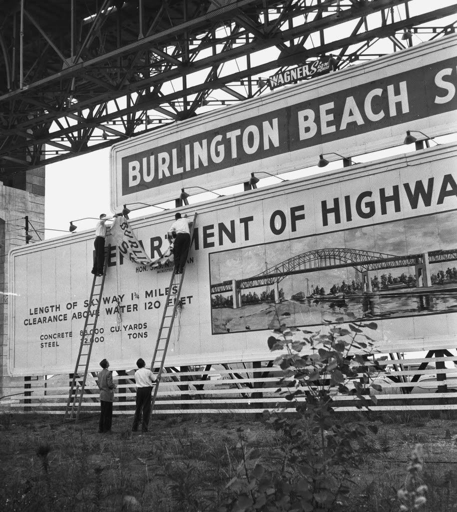
Building the Skyway Bridge
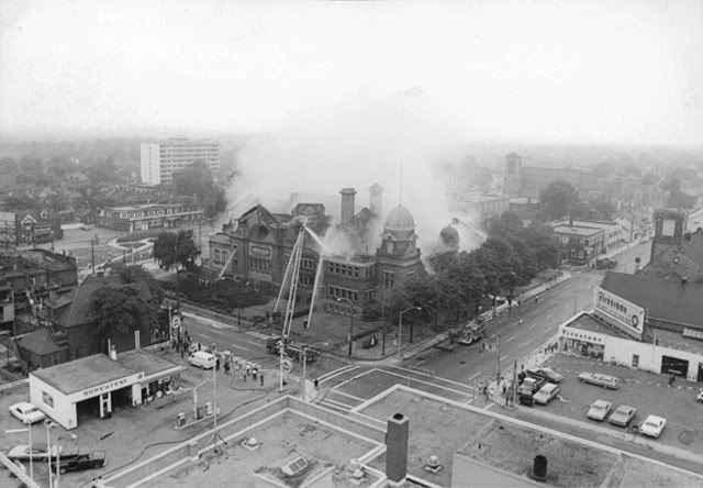
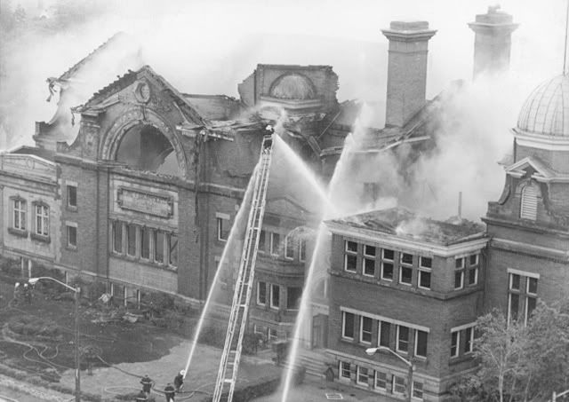
Two views of First United Church the night after it burned to the ground.
First Place now stands in this block King/Wellington/Main.
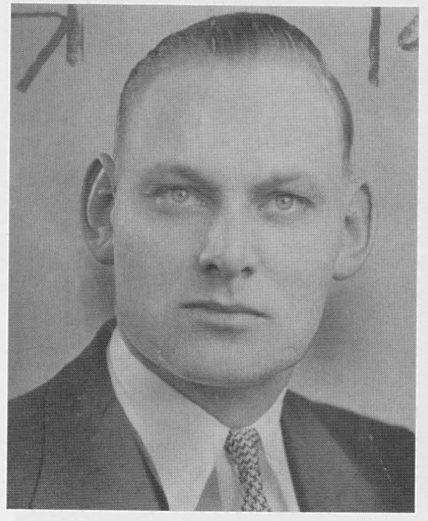
This pic is someone we never saw as much as his criminal wife.
(courtesy B. Laufman)
John Dick ..... his wife Evelyn helped butcher him in '46 dumping his body
on the mountainside.... you can find more than enough about her online.
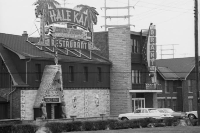
Another shot of the Brant Inn
Dofasco.... the diagonal intersection lower part is Ottawa St & Beach Rd.
Even I remember this sign when they were building the Skyway...


 Prev
Prev


 Linear Mode
