Quote:
Originally Posted by TarHeelJ

The streetcar suburbs in Atlanta are as close in as they can get...they are adjacent to downtown and are currently known as Atlanta's central city neighborhoods (Inman Park, Virginia-Highland, West End, etc.). I'm sure most other cities' streetcar suburbs are very similar to this, depending on the size of the city at the time of the invention of electric streetcars. I don't profess to know a great deal about these neighborhoods (other than the ones in Atlanta), but it's not rocket science. There is information available, so I don't really understand the point of this thread. Really, read the wikipedia page. It has some good information.
|
I don't really know those cities .May be the North or North East part of the US streetcar suburbs are more medium density or mix use along the street car line.And the cities alot older.
Well that do the numbers.
Los Angeles population
Los Angeles population 1880 11,183
Los Angeles population 1900 102,479
Los Angeles population 1950 1,970,358
Los Angeles population 1960 2,479,015
Los Angeles population 2010 3,792,621
Phoenix population
Phoenix population 1900 5,544
Phoenix population 1950 106,818
Phoenix population 1960 439,170
Phoenix population 2010 1,445,632
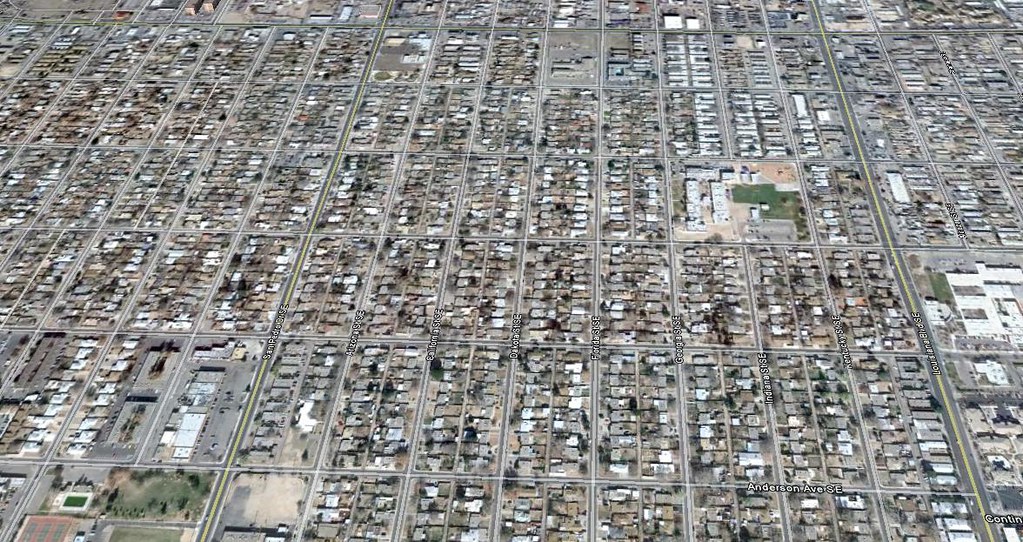
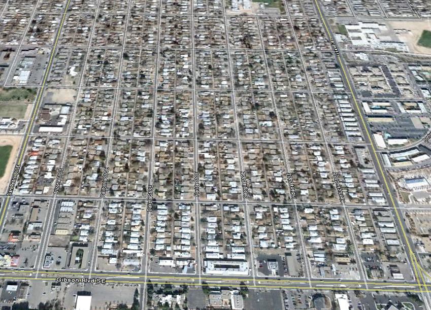
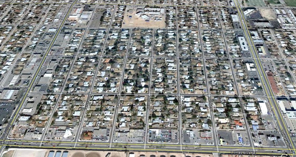
Albuquerque population
Albuquerque population 1900 6,238
Albuquerque population 1950 96,815
Albuquerque population 1960 201,189
Albuquerque population 2010 545,852
Las Vegas population
Las Vegas population 1930 5,165
Las Vegas population 1950 24,624
Las Vegas population 1960 64,405
Las Vegas population 2010 583,756
I looked up the population in wikipedia most of these cities are mid 20 century growth other than Los Angeles that is early 20 century growth. And Las Vegas is more like late 20 century growth.
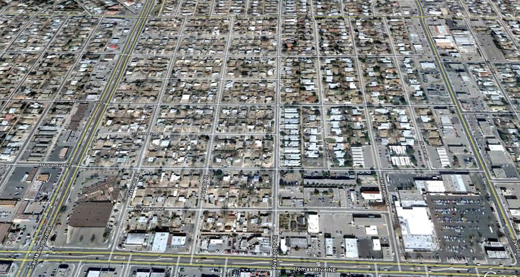
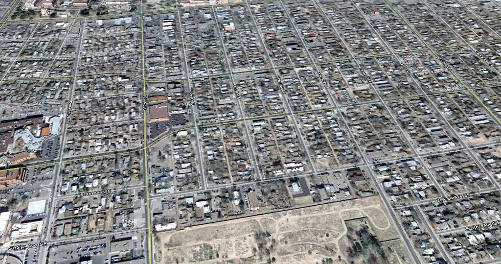
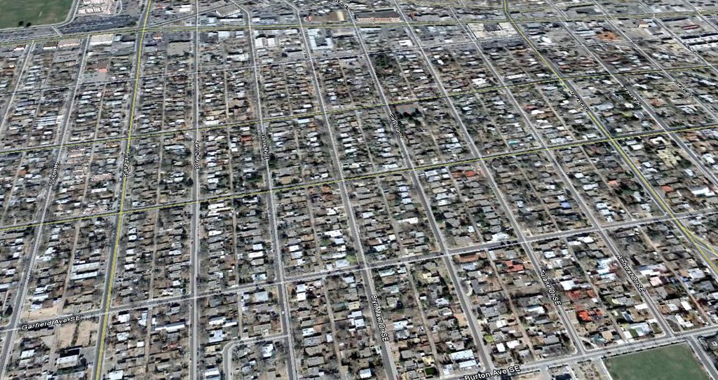
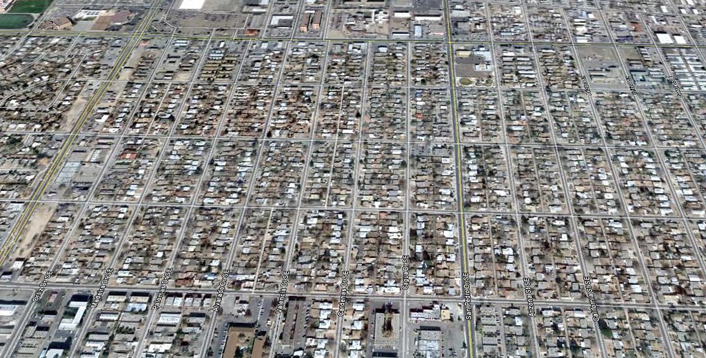
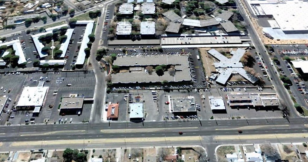
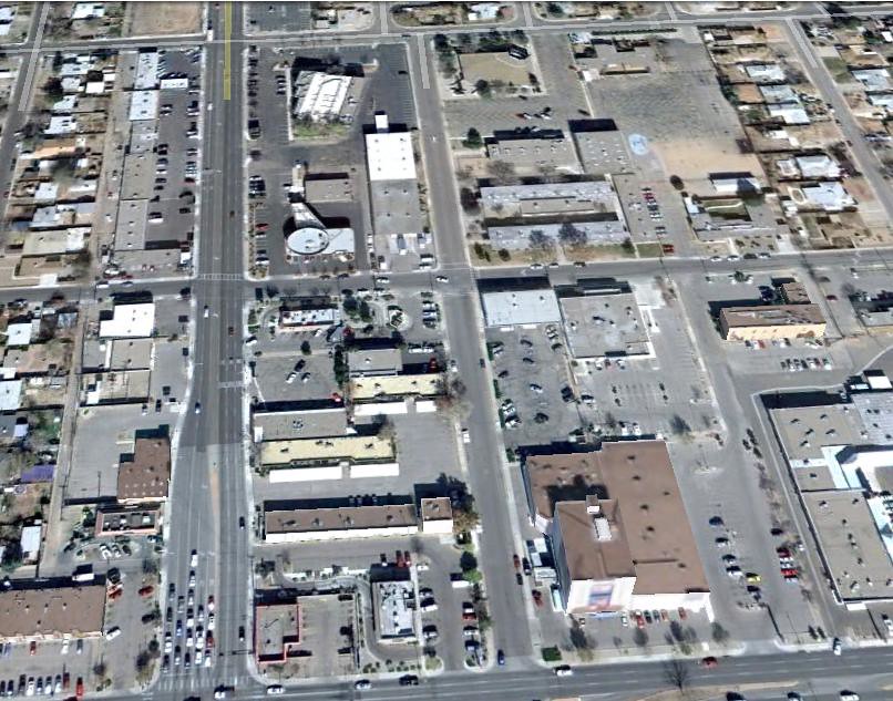
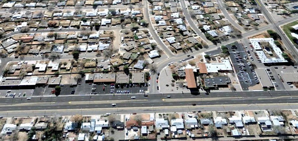
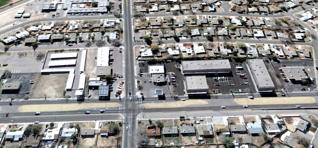
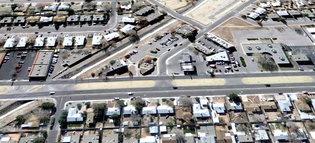
Most of Las Vegas is not walable or urban looking at all

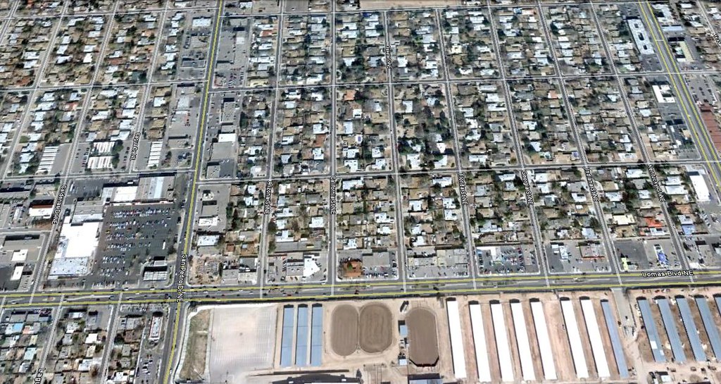
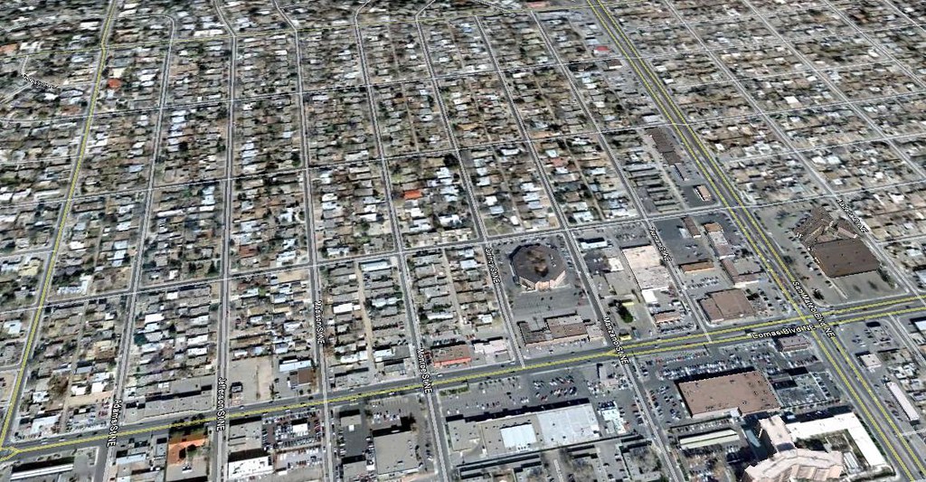
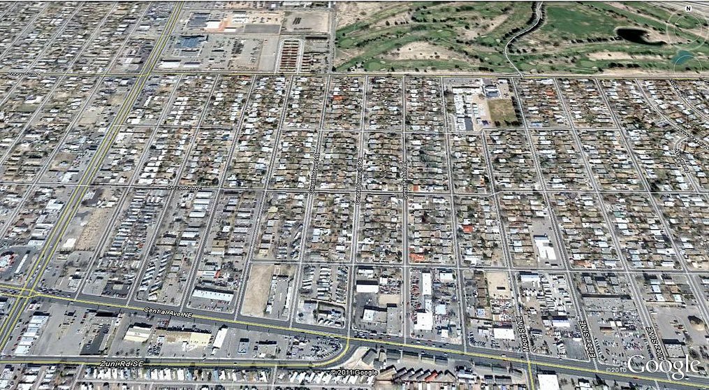
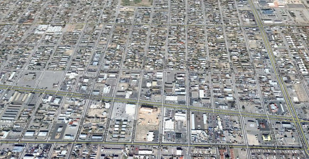
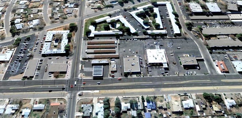
other than the small down town .The older areas in Phoenix or pictures I posted here of Albuquerque in the older area seem to be low density and non mix use .It looks more like sprawl urban suburb than classic urban look or suburb look.
Well Los Angeles look like dense streetcar suburb just very much not into mix use .
Yes Toronto streetcar suburb is very much so a dense streetcar suburb but mix use on the street care line.


 Prev
Prev


 Linear Mode
