Conception Bay South
Newfoundland and Labrador
Conception Bay South is an amalgamation of numerous coastal villages along the shores of Conception Bay, everything from Lance Cove in the southwest to Topsail in the northeast.
By population, it is the second-largest municipality in Newfoundland and Labrador though it's very spread out and certainly doesn't feel larger than other cities such as Mount Pearl and Corner Brook.
It is located in the commuter belt around St. John's and is one of the fastest-growing communities in North America (the nearby town of Paradise being the fastest as of a few years ago).
Here is the location of Conception Bay South in relation to the other two major suburban municipalities, Paradise and Mount Pearl, as well as to the city of St. John's.

(Google Maps)
Here are some photos from my drive to Conception Bay South this morning. St. John's is a very quiet city at 7 a.m. on a holiday Monday:
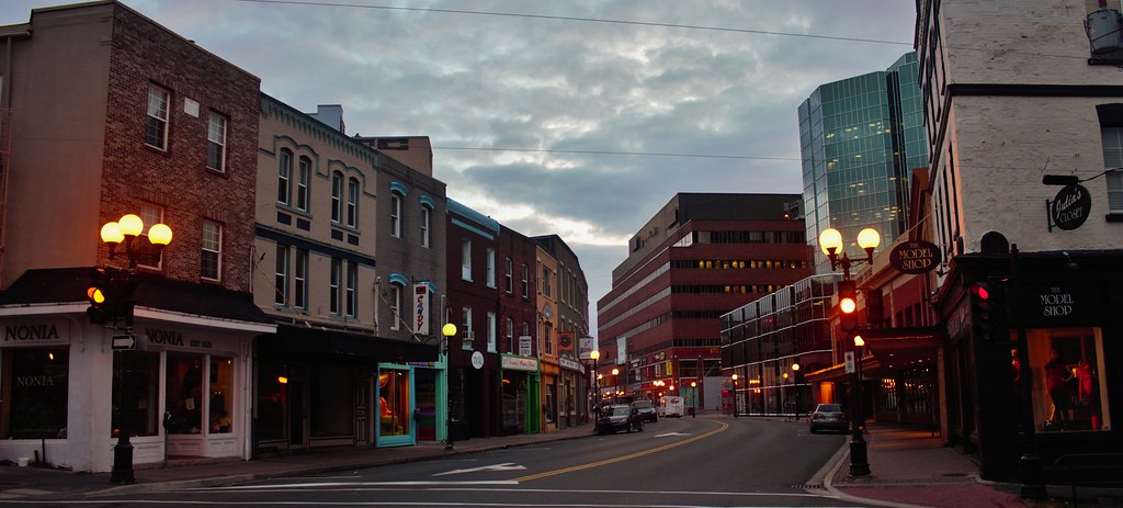 Water Street
 by
SignalHillHiker, on Flickr
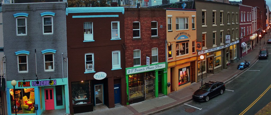 Water Street
 by
SignalHillHiker, on Flickr
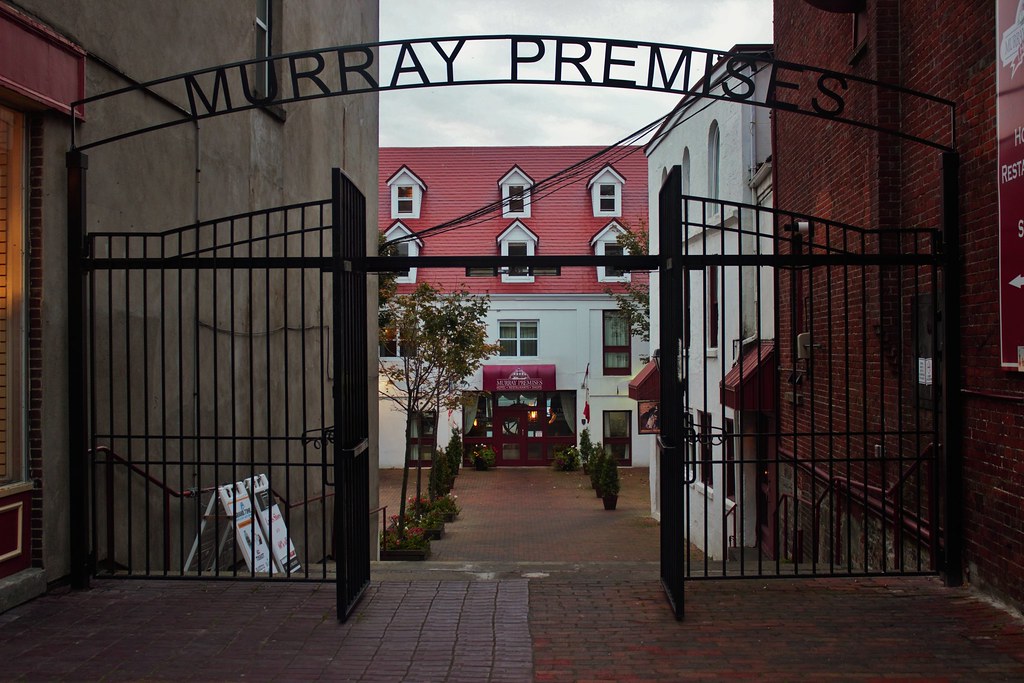 Murray Premises
 by
SignalHillHiker, on Flickr
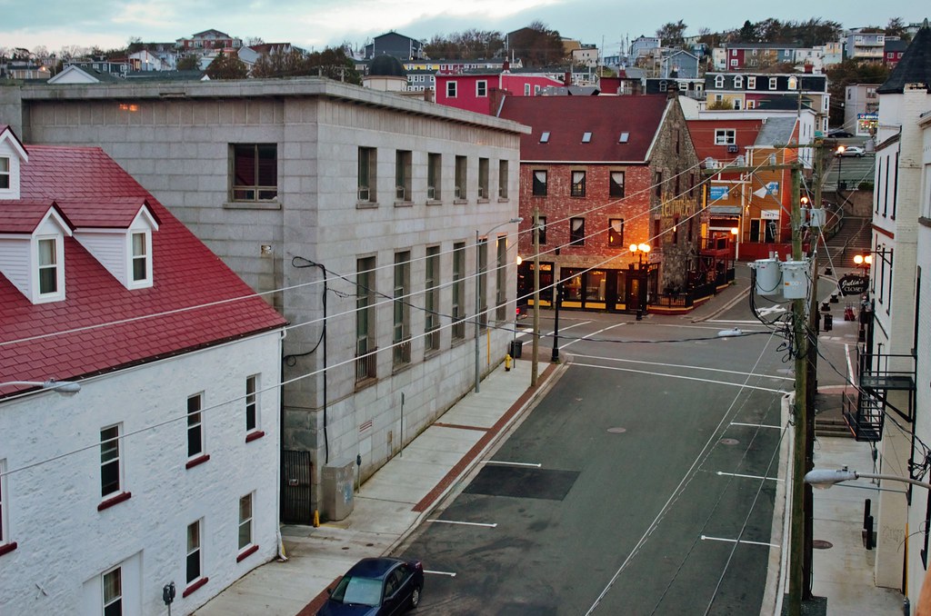 Becks Cove and George Street
 by
SignalHillHiker, on Flickr
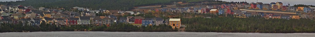
Then it's a short 15-minute drive to Conception Bay South, where the bay was bustling with activity.
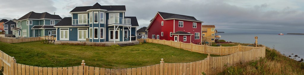
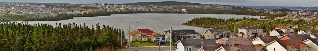
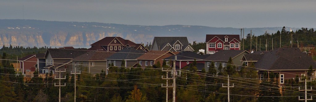 Suburban Sprawl in Conception Bay South
 by
SignalHillHiker, on Flickr
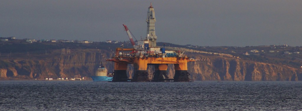 Oil Rig
 by
SignalHillHiker, on Flickr
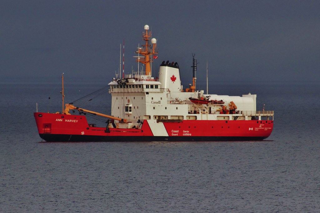 Coast Guard
 by
SignalHillHiker, on Flickr
 Conception Bay South
 by
SignalHillHiker, on Flickr
 Conception Bay South
 by
SignalHillHiker, on Flickr
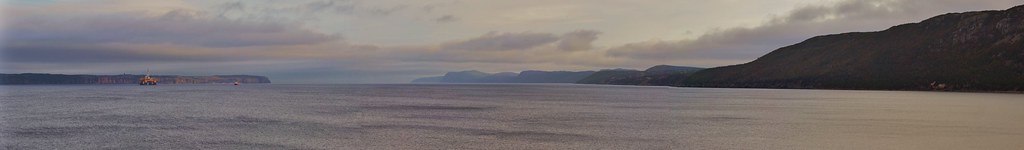 Conception Bay
 by
SignalHillHiker, on Flickr
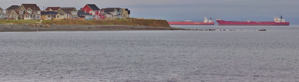
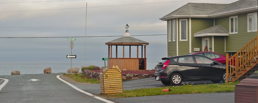
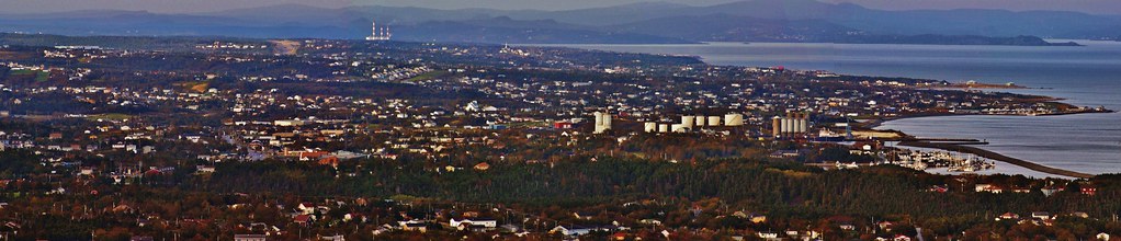
 Conception Bay South
 by
SignalHillHiker, on Flickr
 Suburban Sprawl in Conception Bay South
 by
SignalHillHiker, on Flickr
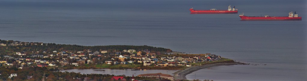
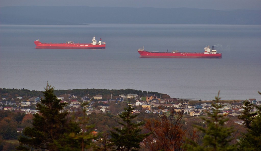 Busy Day in Conception Bay
 by
SignalHillHiker, on Flickr
 Conception Bay South
 by
SignalHillHiker, on Flickr
 Conception Bay South
 by
SignalHillHiker, on Flickr
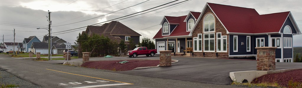
 Suburban Sprawl in Conception Bay South
 by
SignalHillHiker, on Flickr
 Suburban Sprawl in Conception Bay South
 by
SignalHillHiker, on Flickr


 Linear Mode
