Hoping there's just enough to keep this out of the land of tumbleweed (General Photography).
All photos are my own.
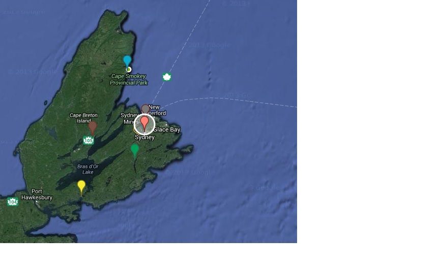
Created in Google Maps.
Click here
Confused by the markers? Here's the rundown:
Blue: Cape Smokey Picnic Park
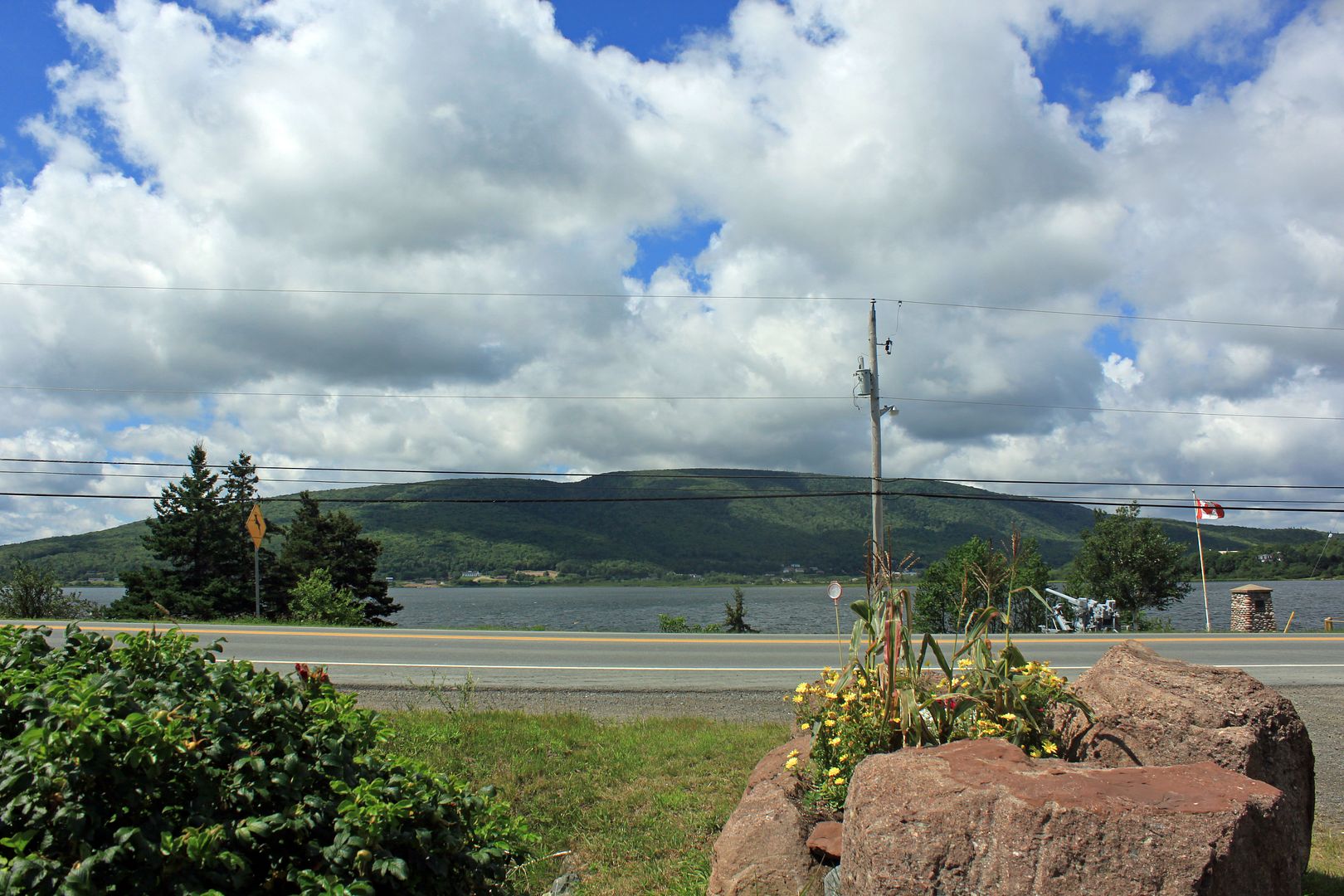
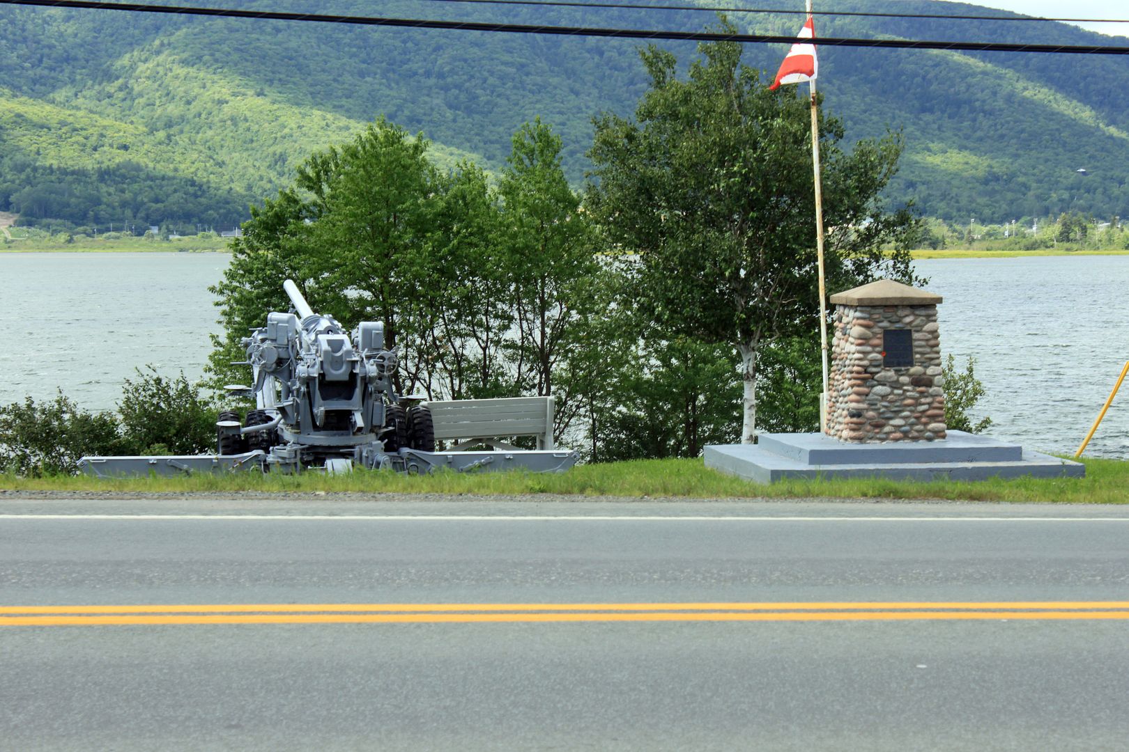
Brown: Baddeck
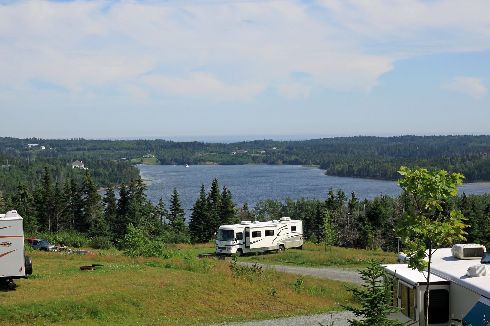
Yellow: St. Peter's
Green: Two River's Wildlife Park
Grey: Victoria Mines mailboxes
Pink: Sydney
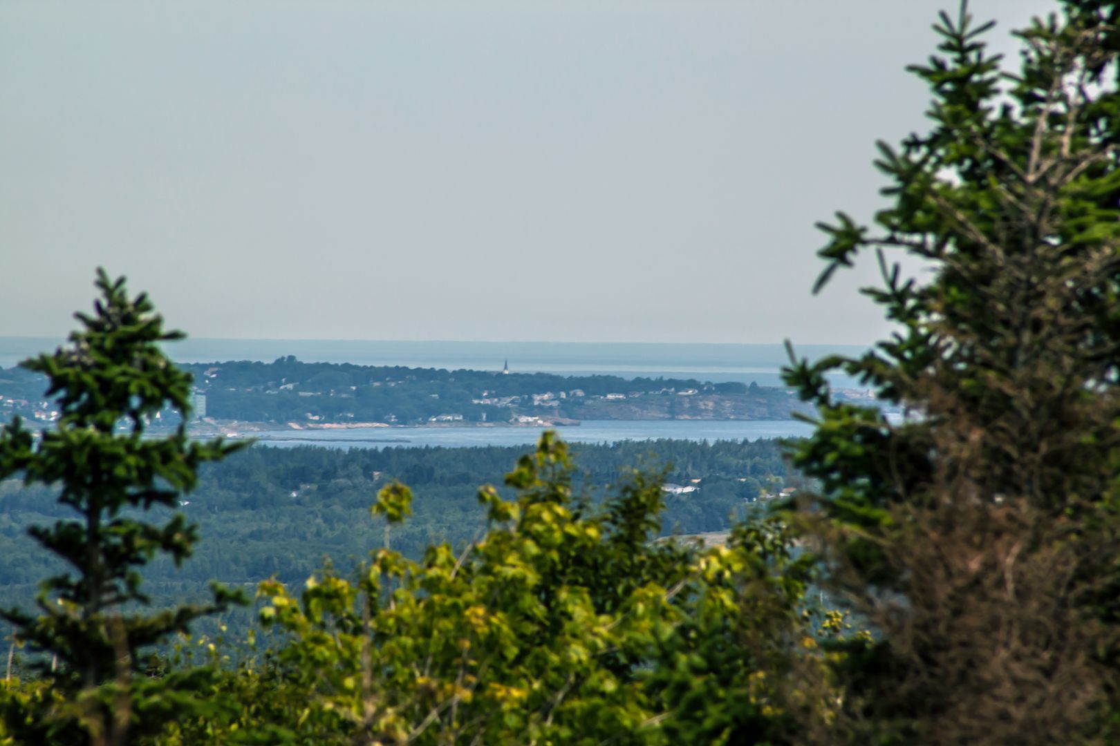
Village of St. Peter's
Full size available by clicking on the picture.
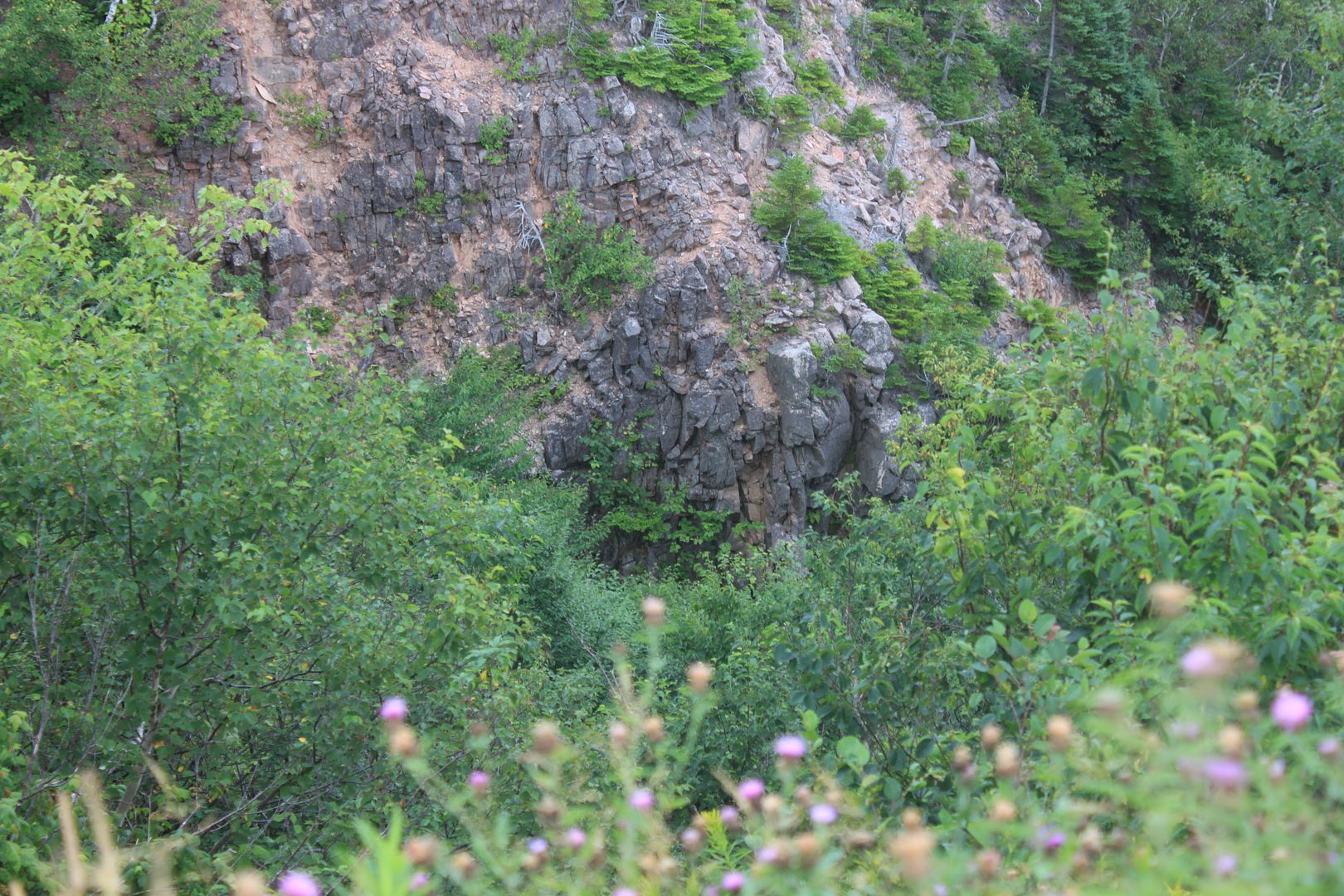
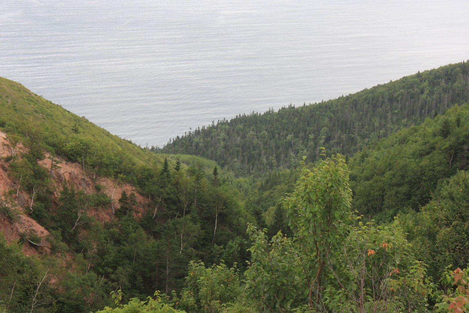
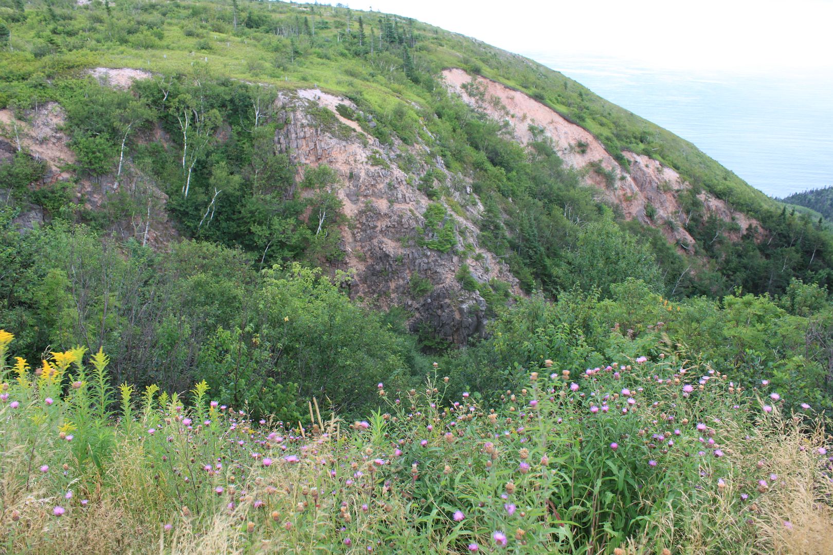
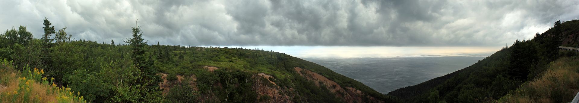
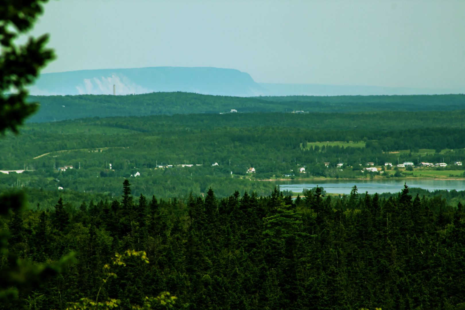
Cape Smokey
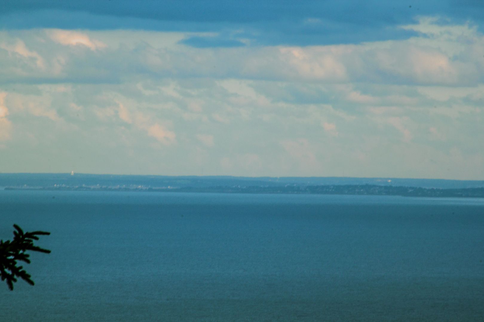
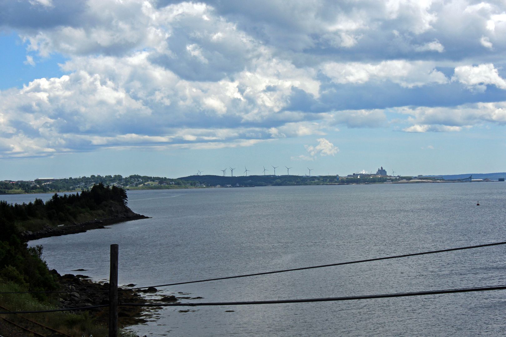
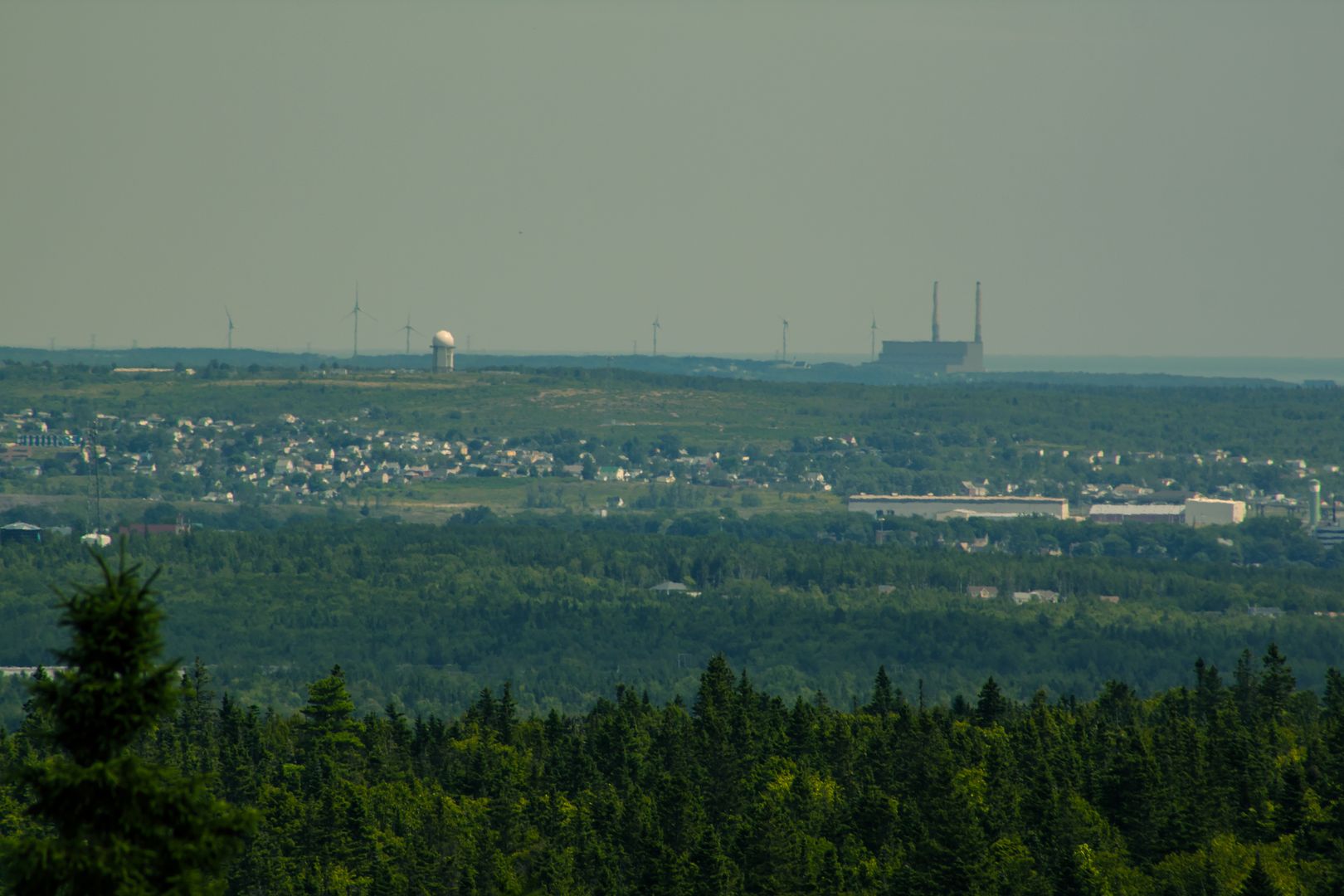
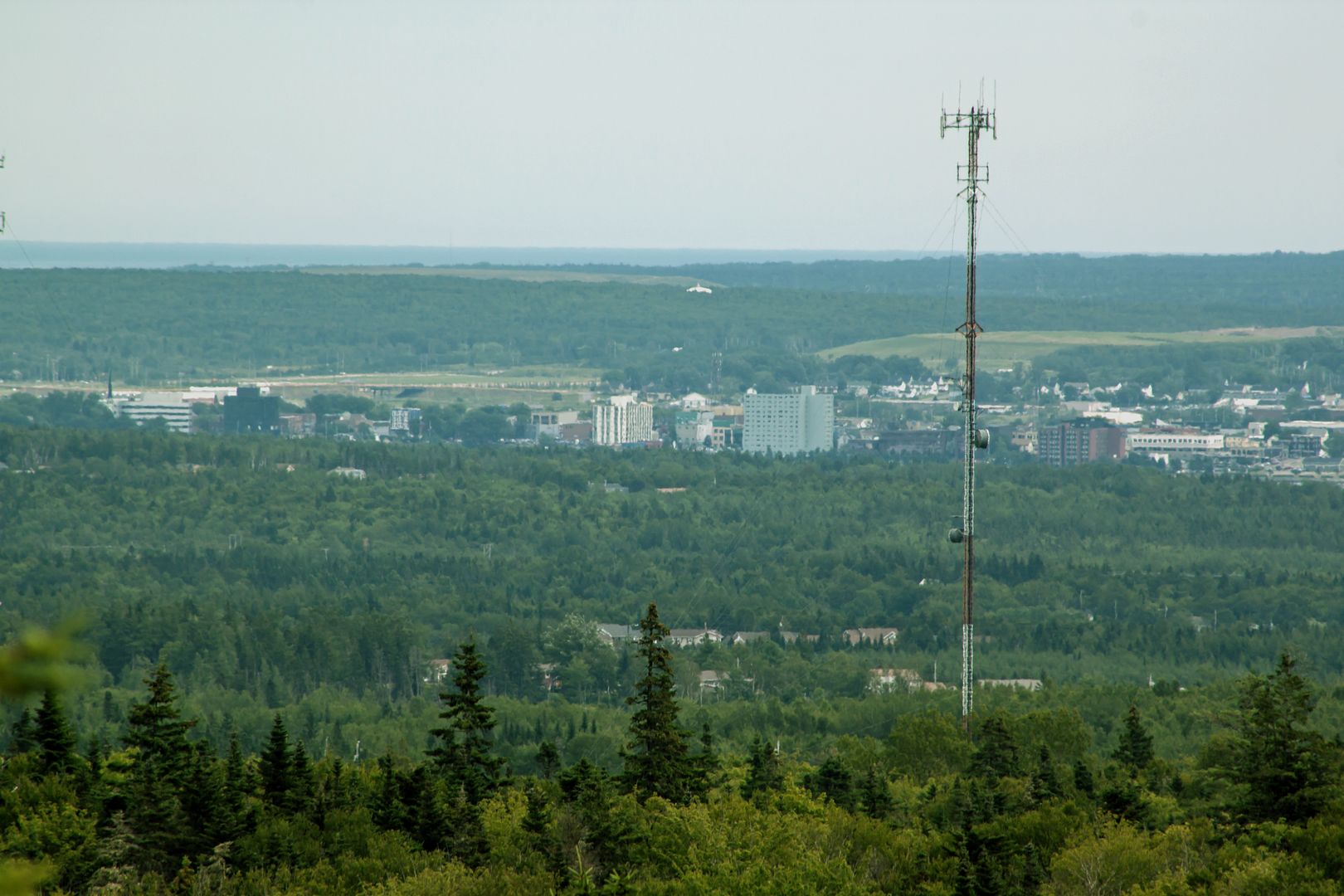
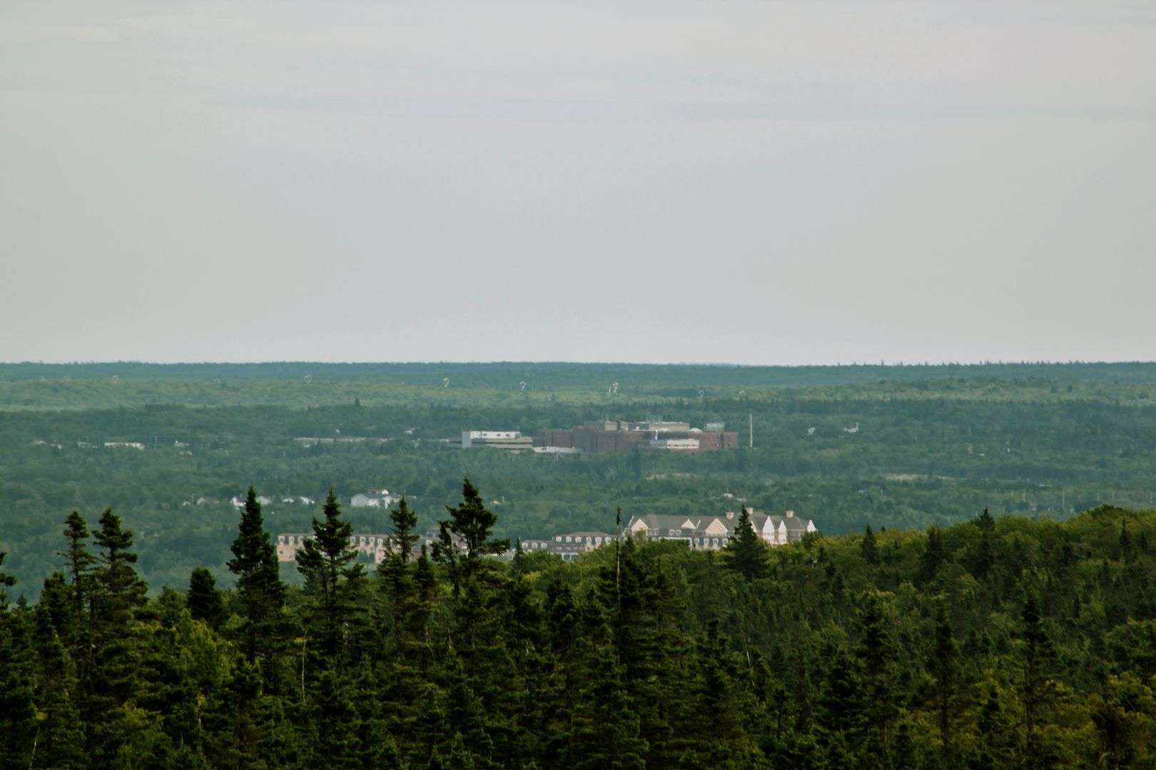
Look Closely and you'll see the Radar Base tower in Sydney
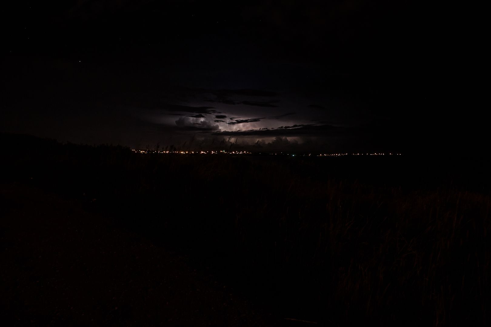
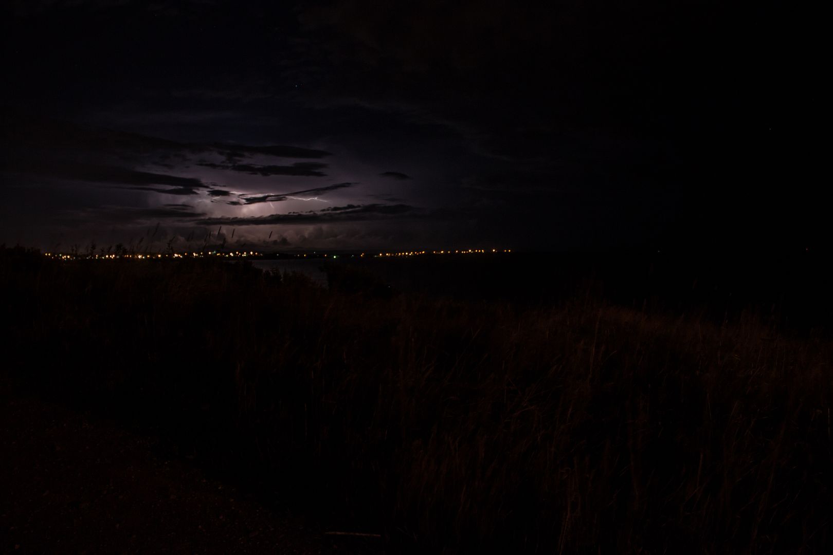
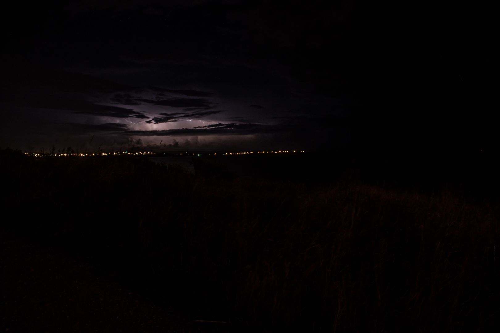
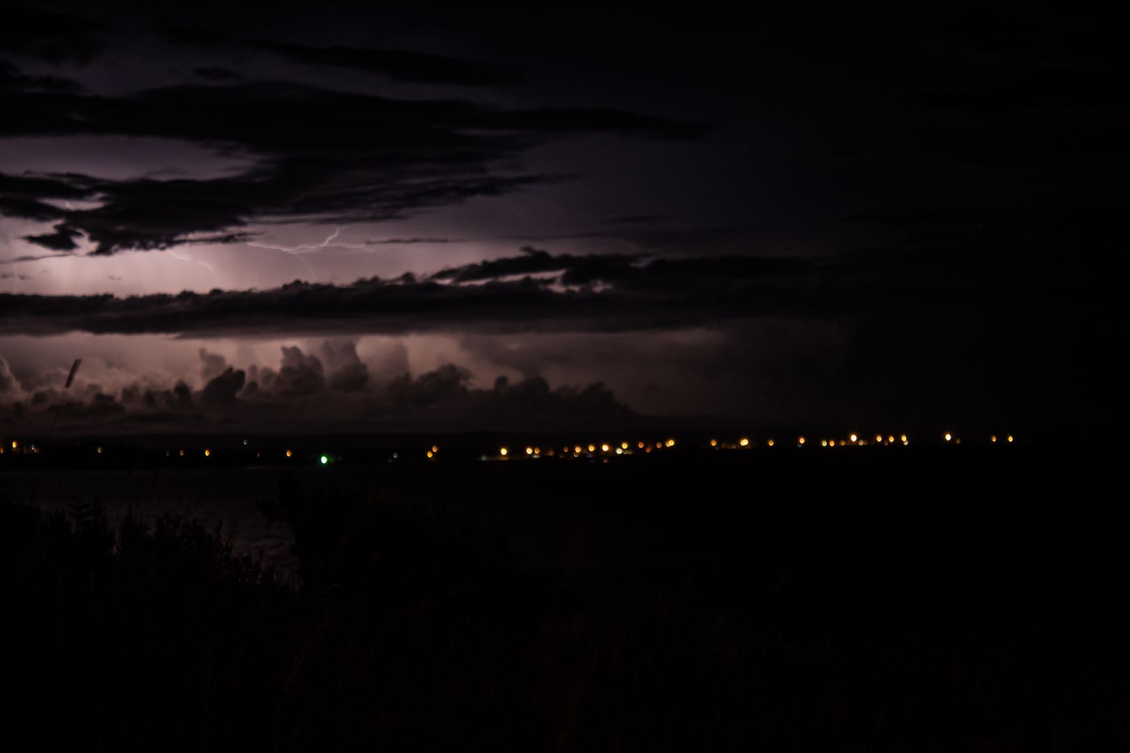
Thunderstorm over Boularderie Island behind Sydney Mines from Victoria Mines mailboxes
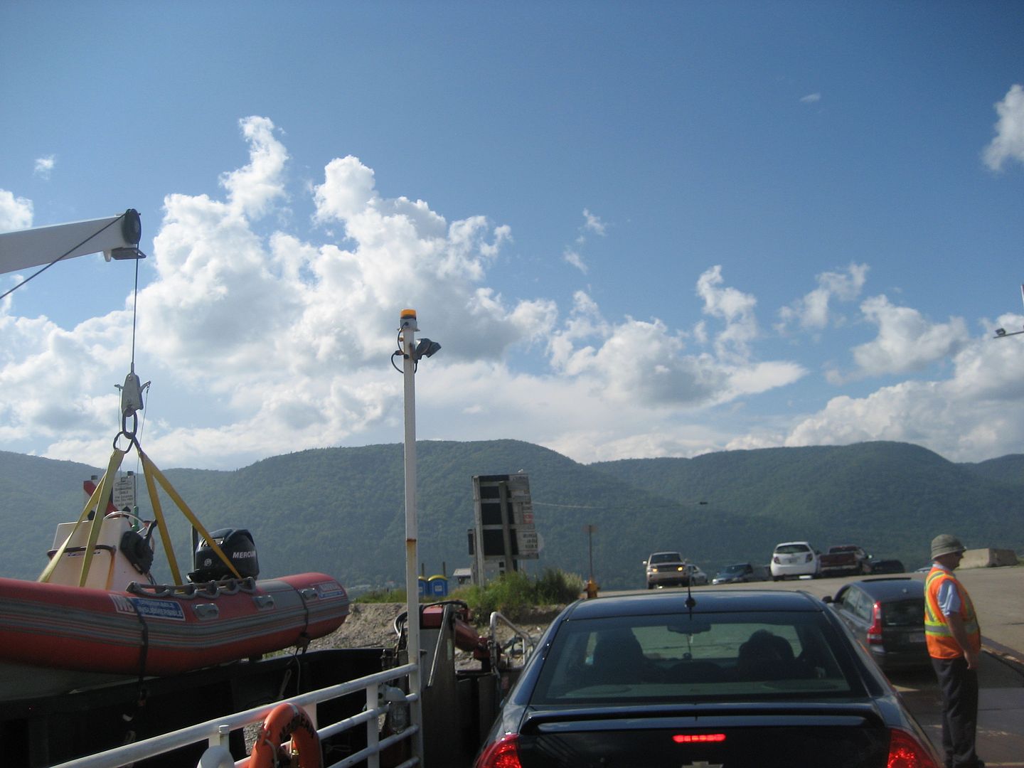
Englishtown Ferry and St. Ann's Bay
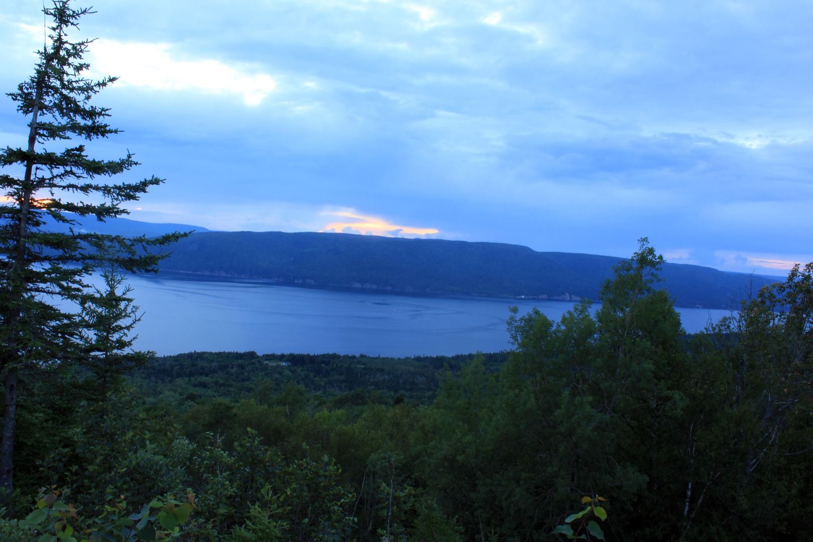
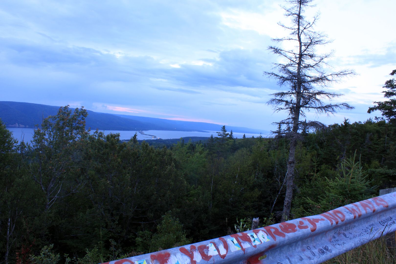
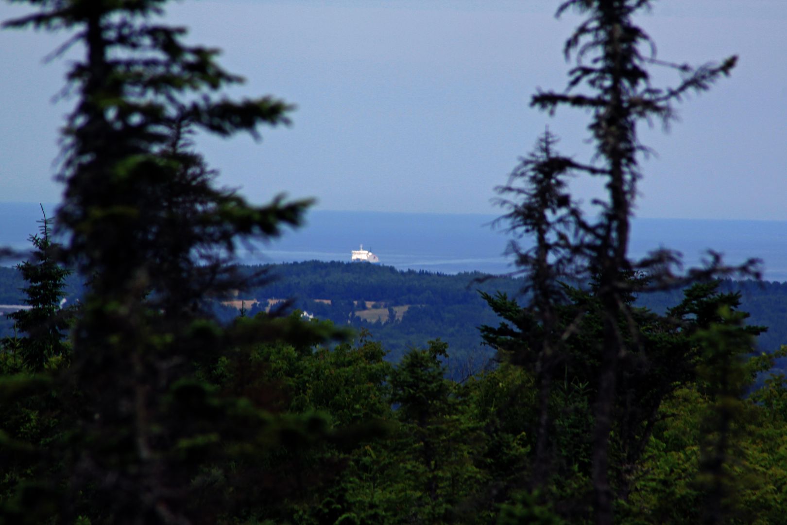
Port Hawkesbury and Point Tupper
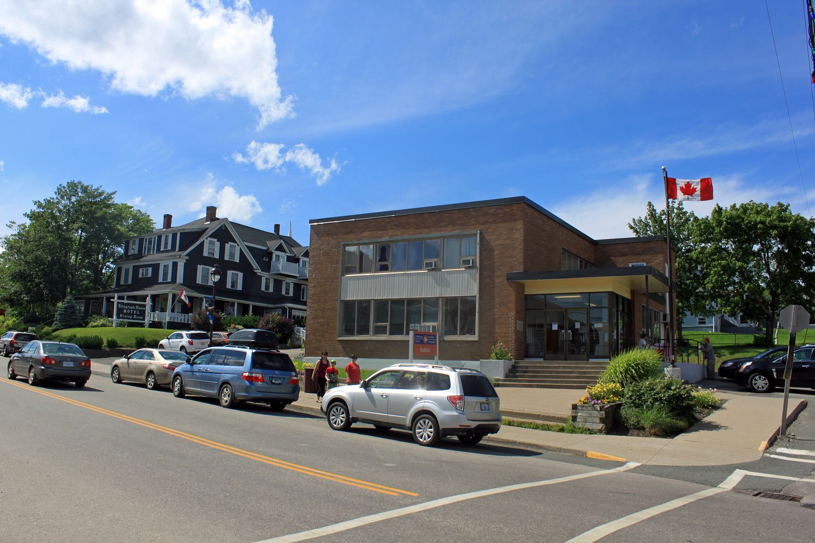
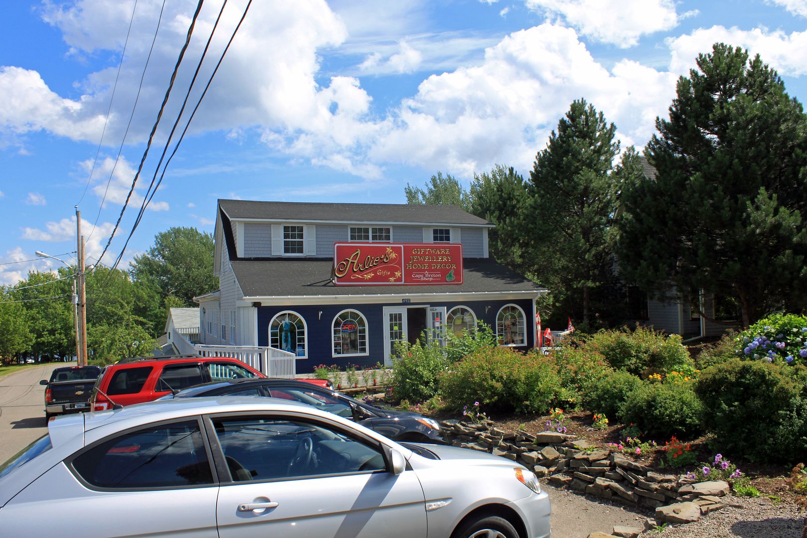
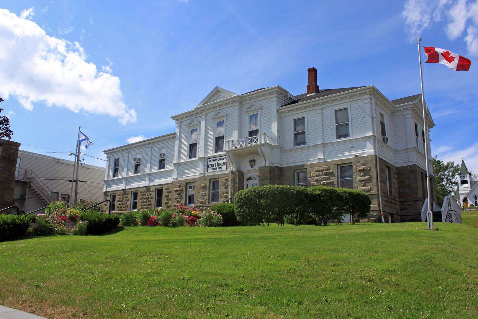
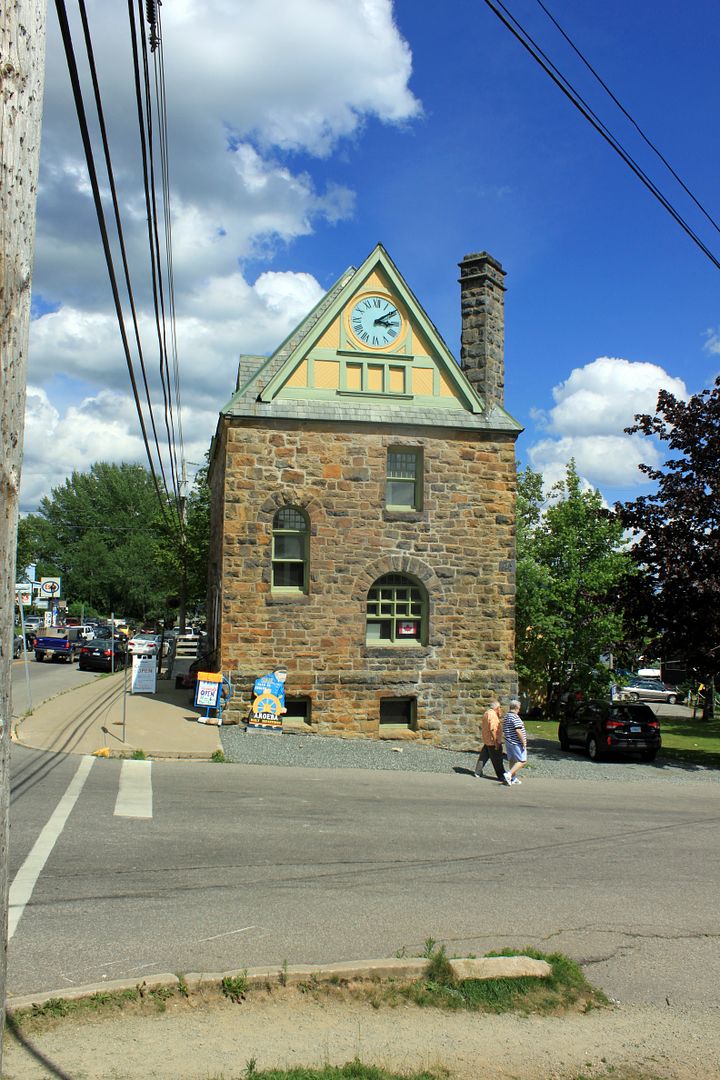
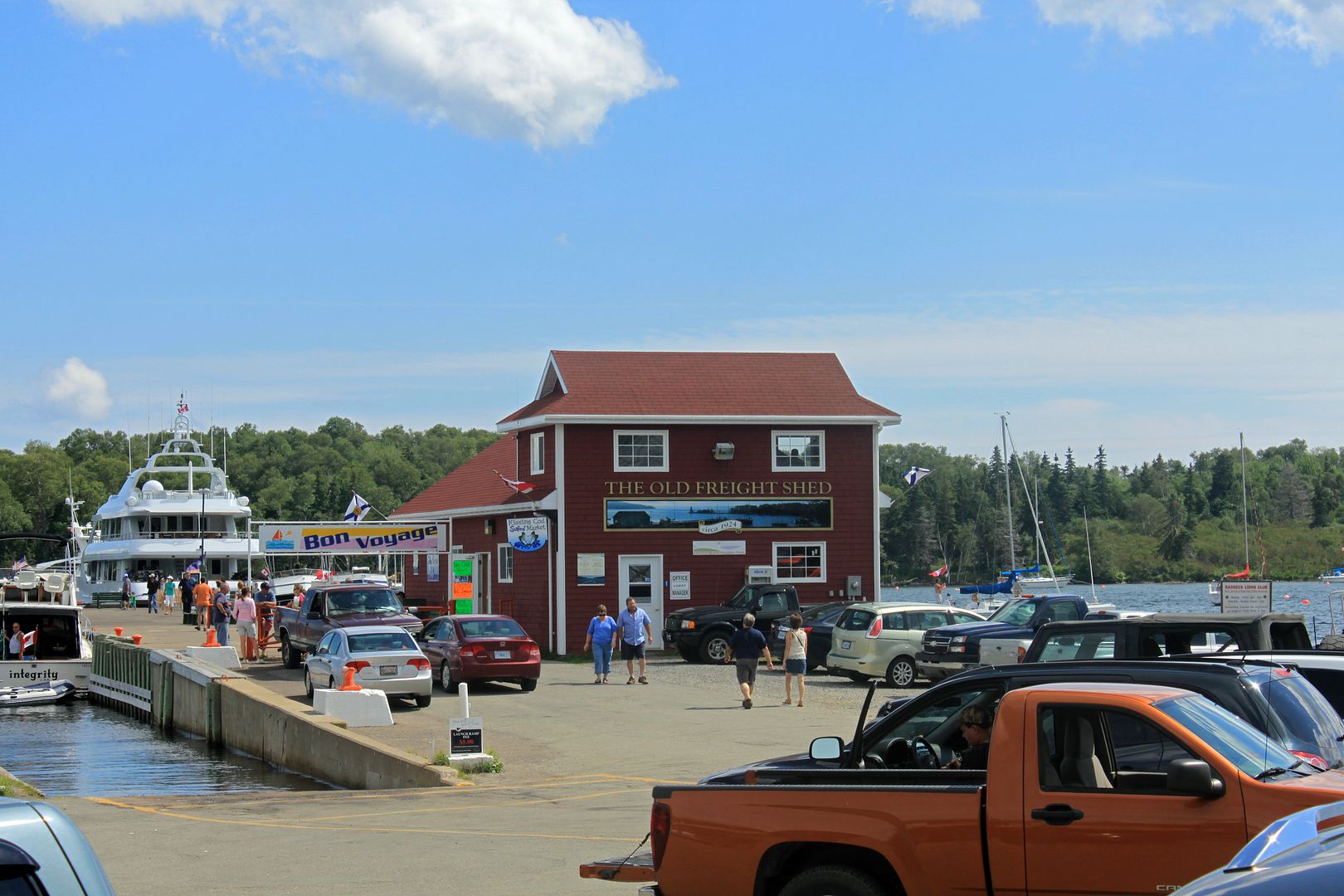
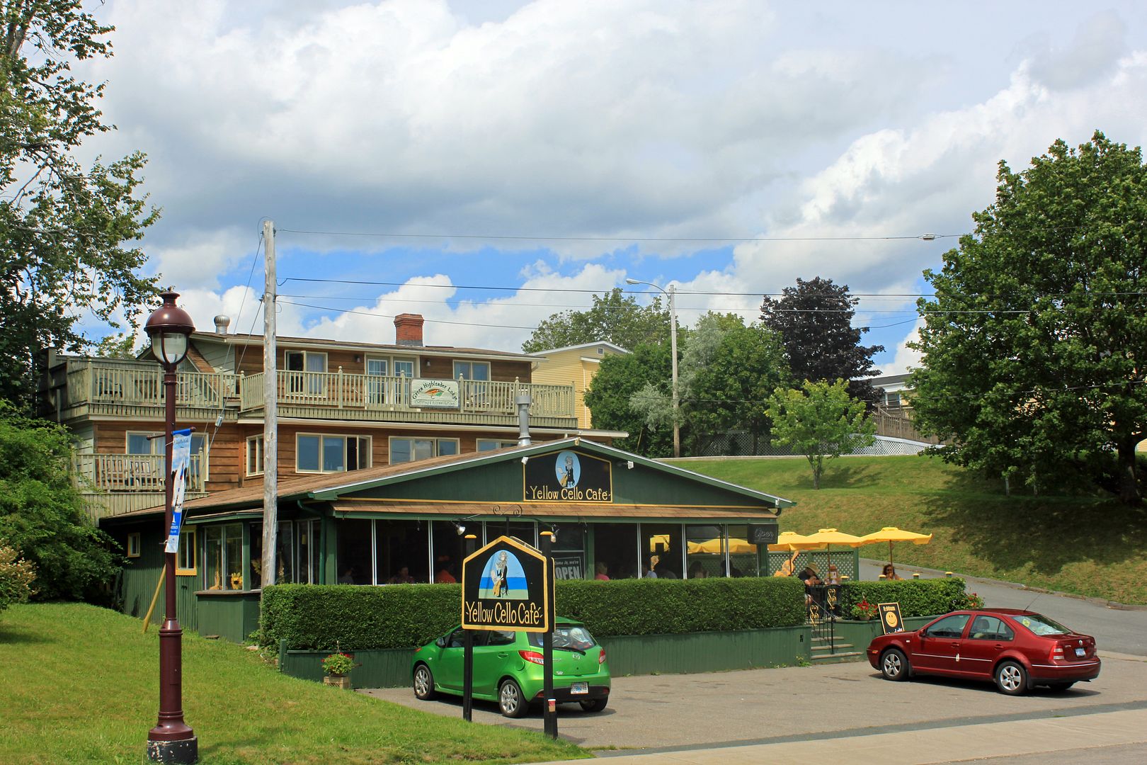
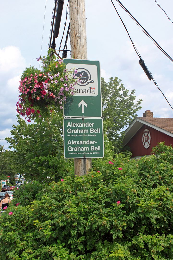
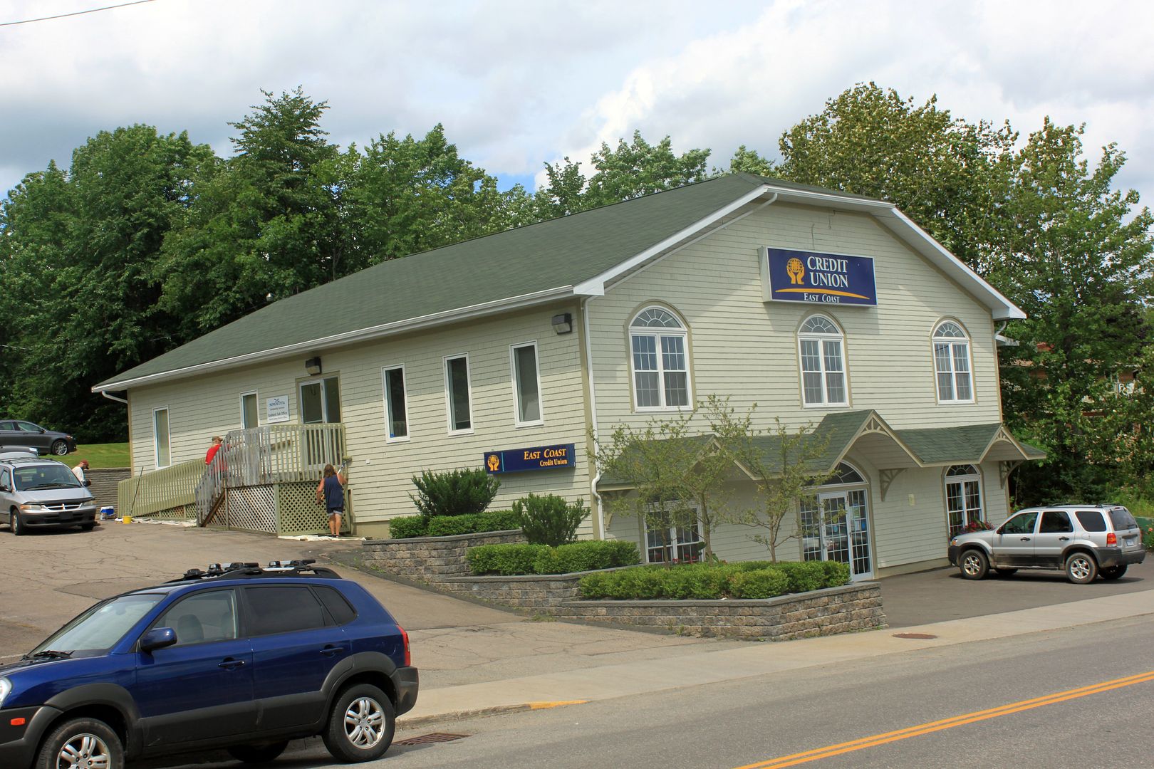
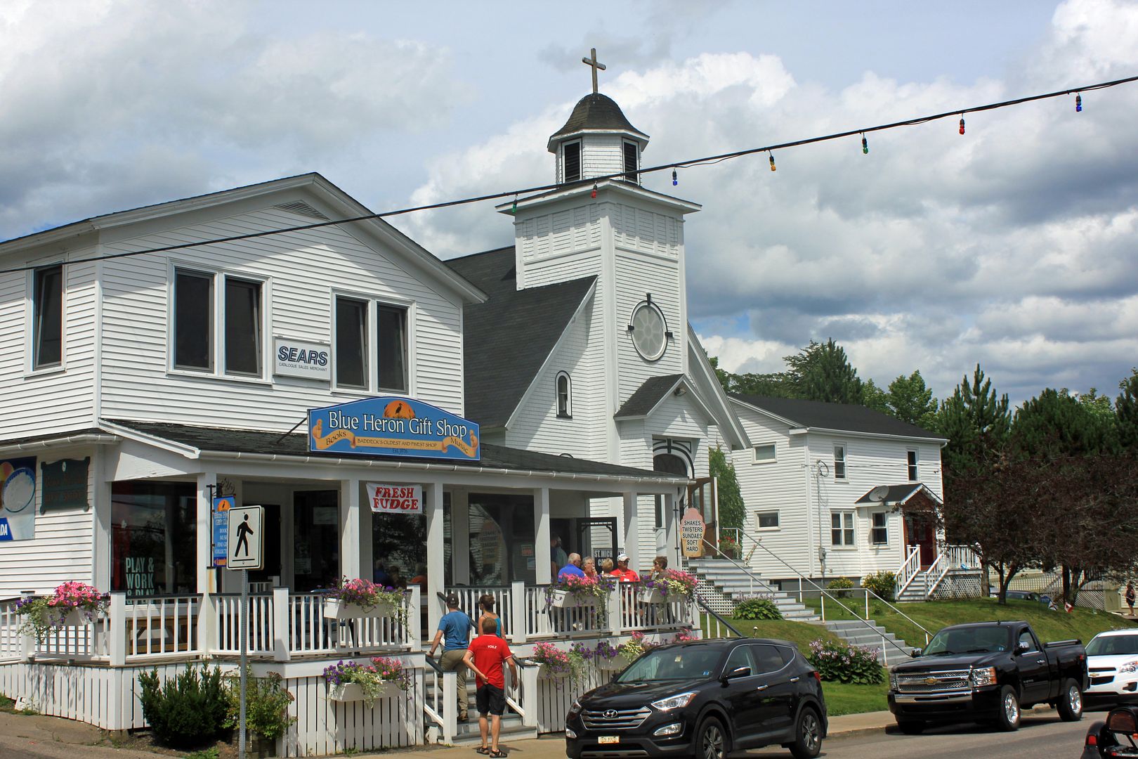
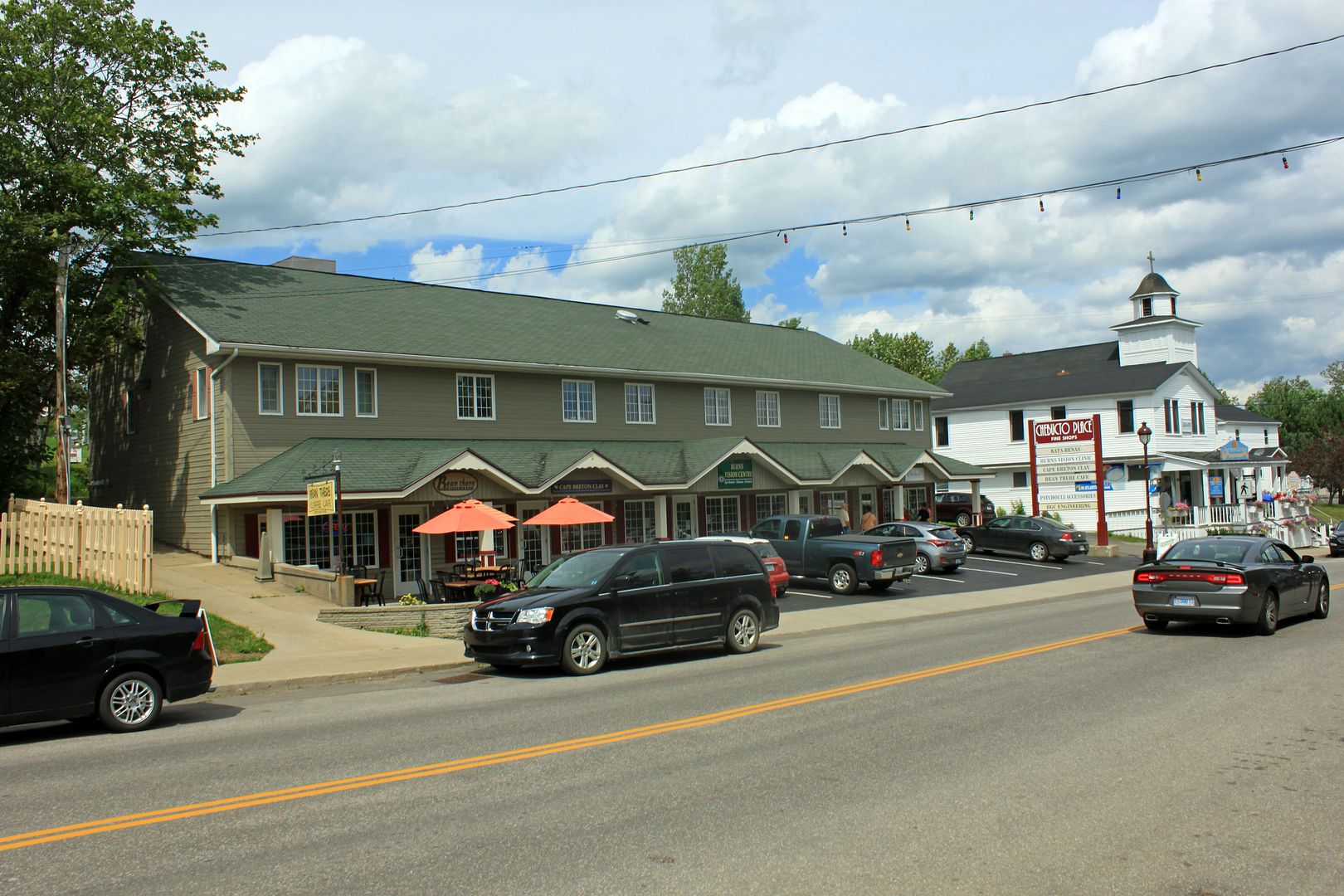
Village of Baddeck
Whycocomagh and Waycobah
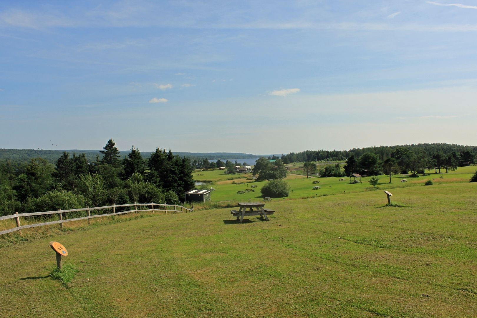
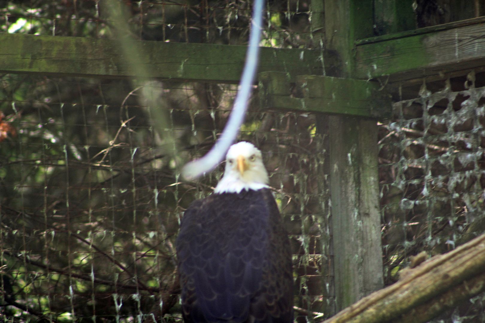
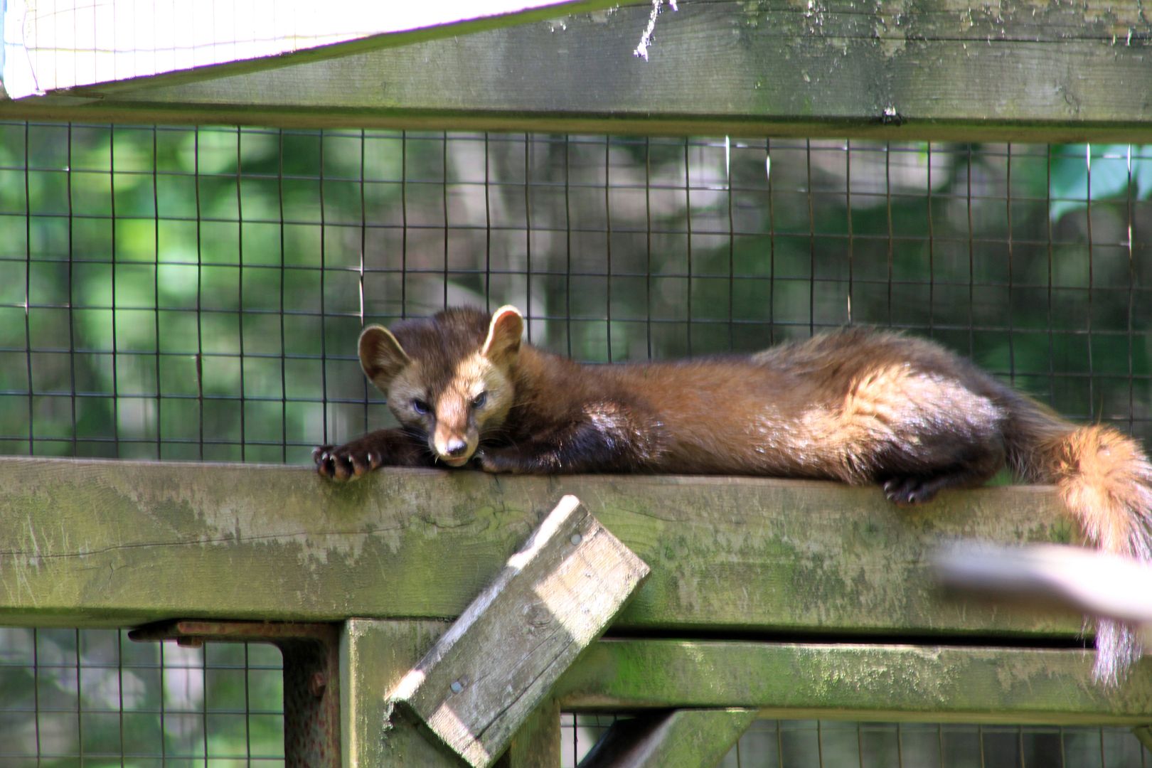
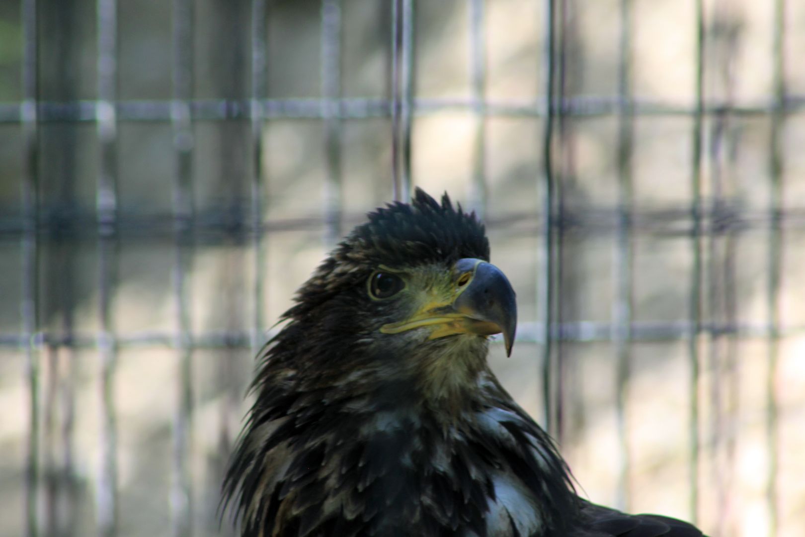
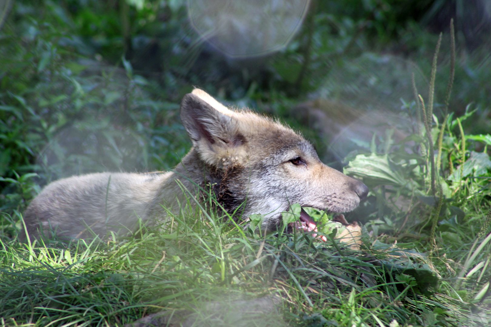
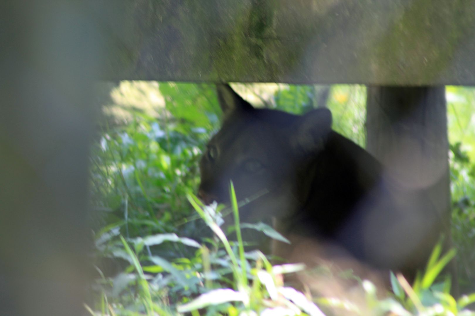
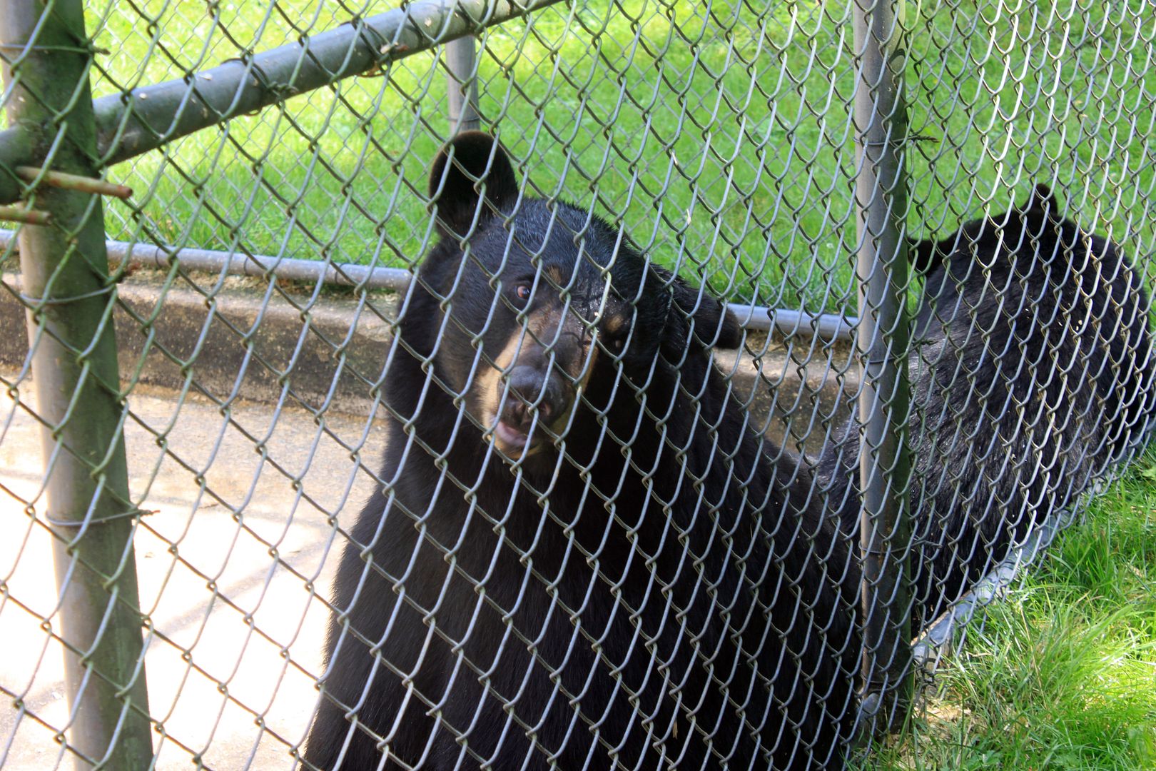
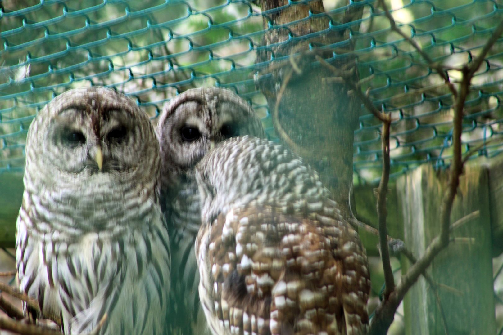
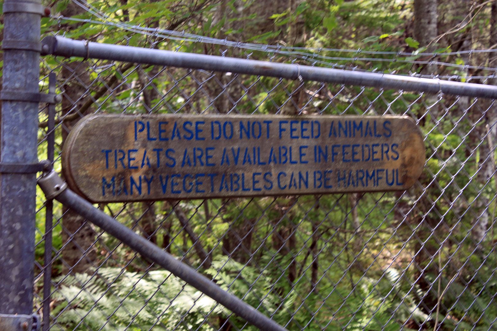
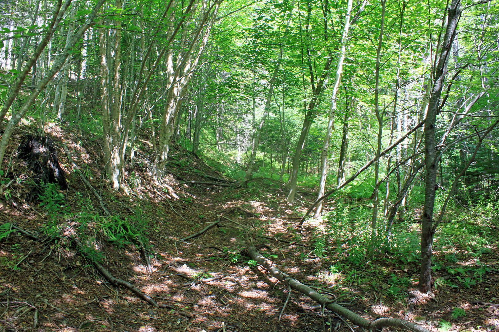
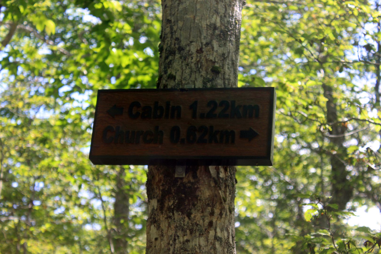
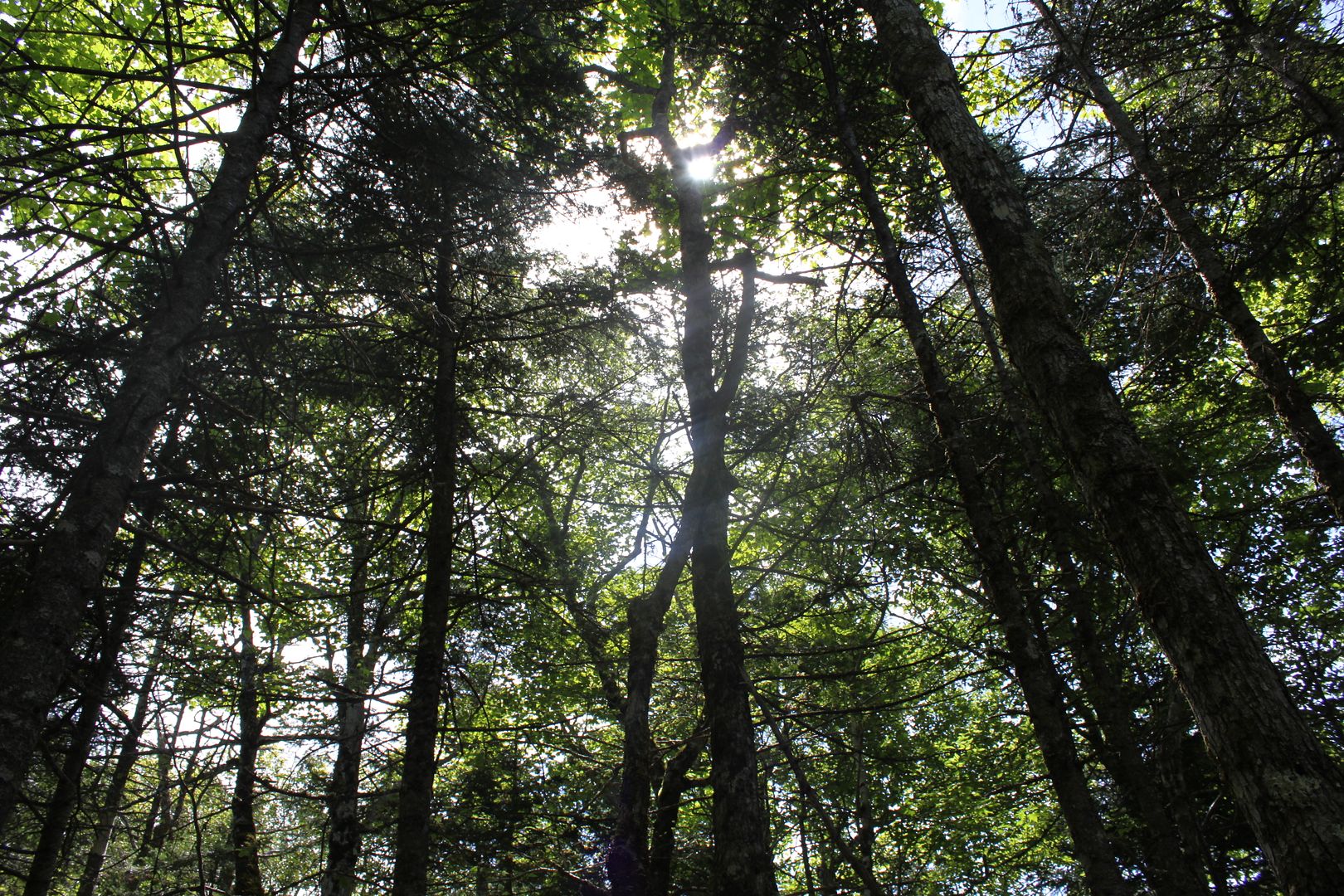
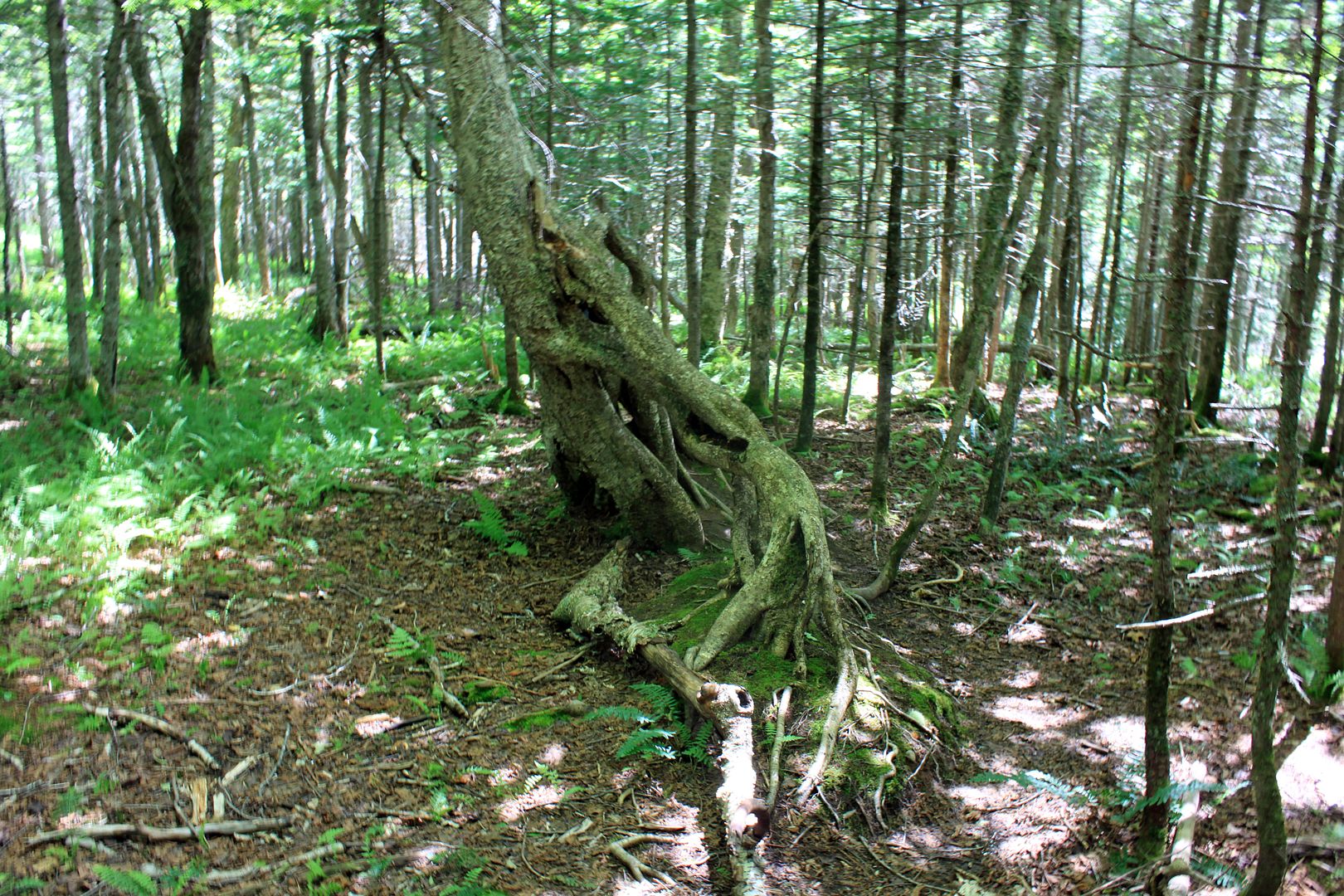
Two Rivers Wildlife Park
A quick note, the wildlife park is not a zoo. They have large enclosures, only take animals that live in the natural environment, and only take animals that have been injured or couldn't otherwise survive in the wild.
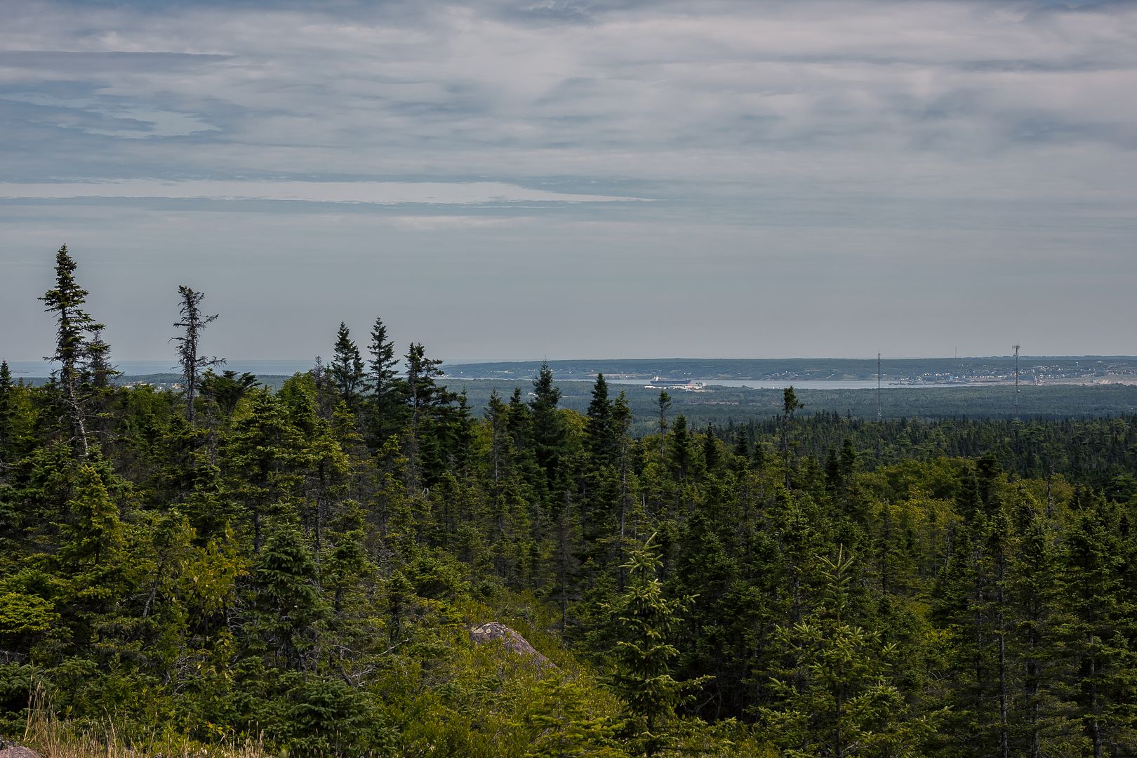
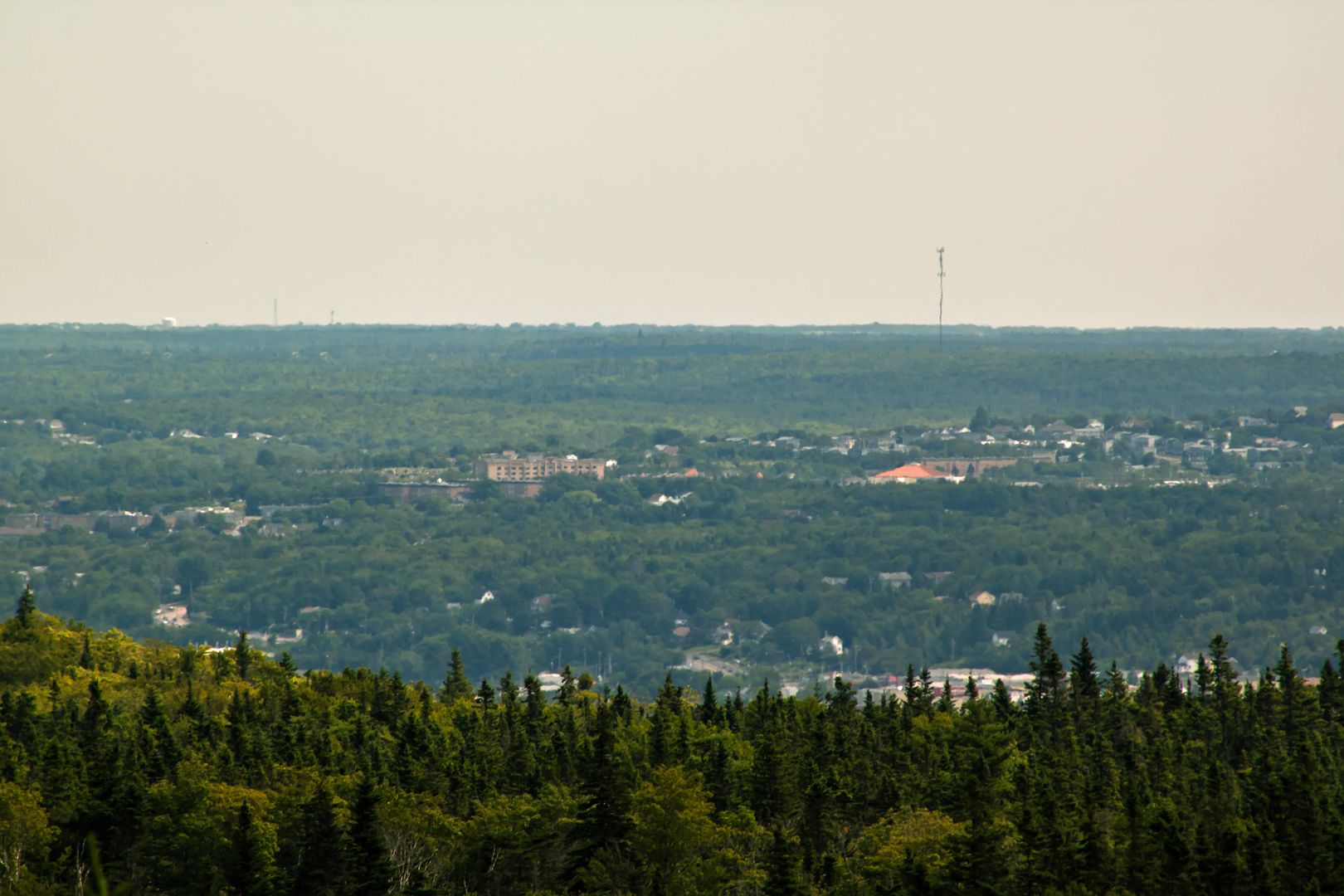
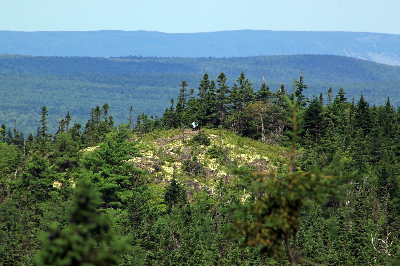
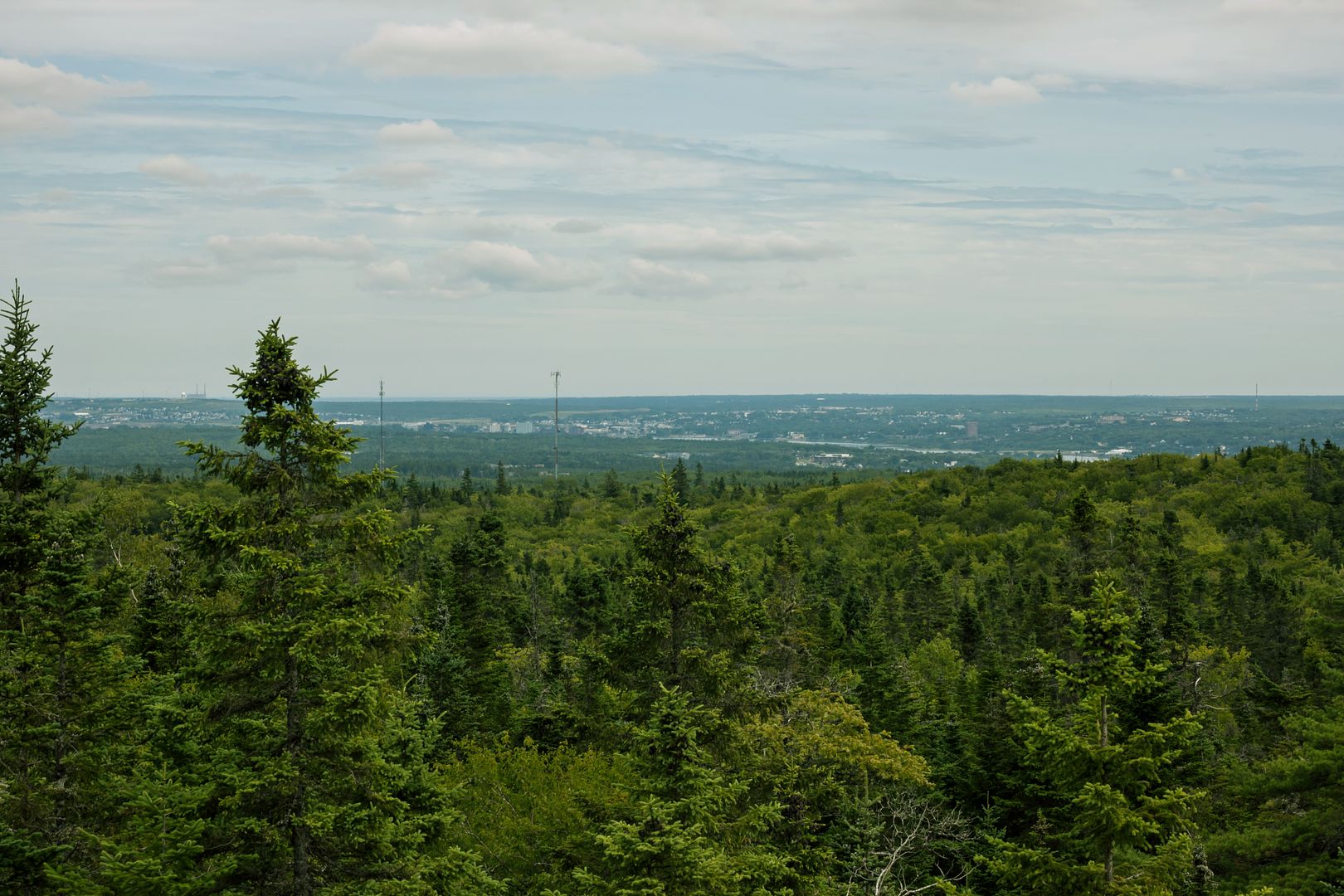
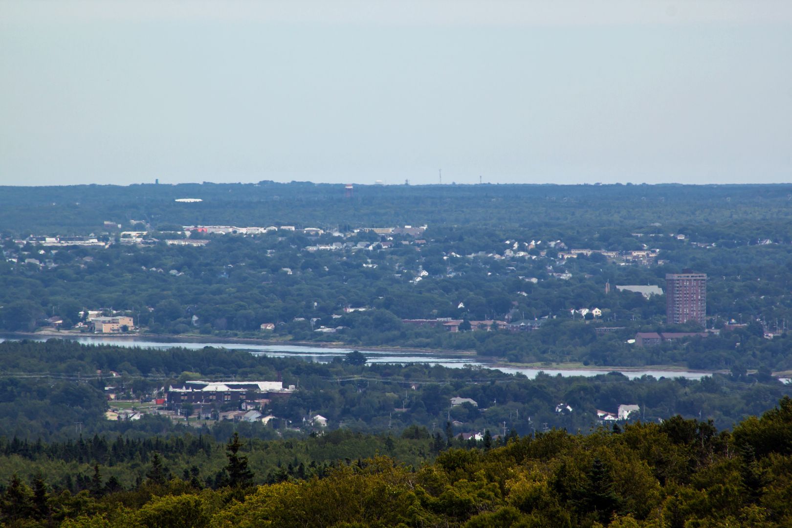
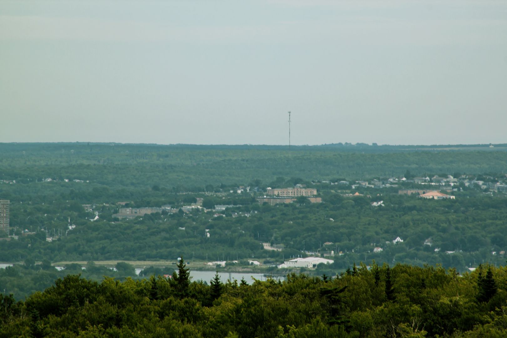
Coxheath Mountain aka a taste of Sydney
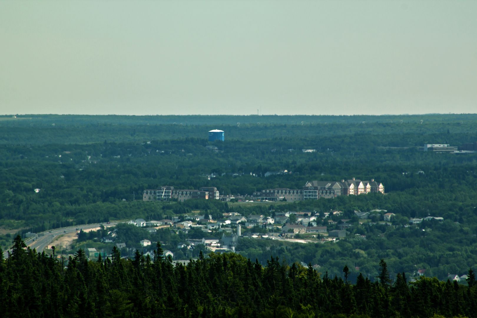
A taste of North Sydney
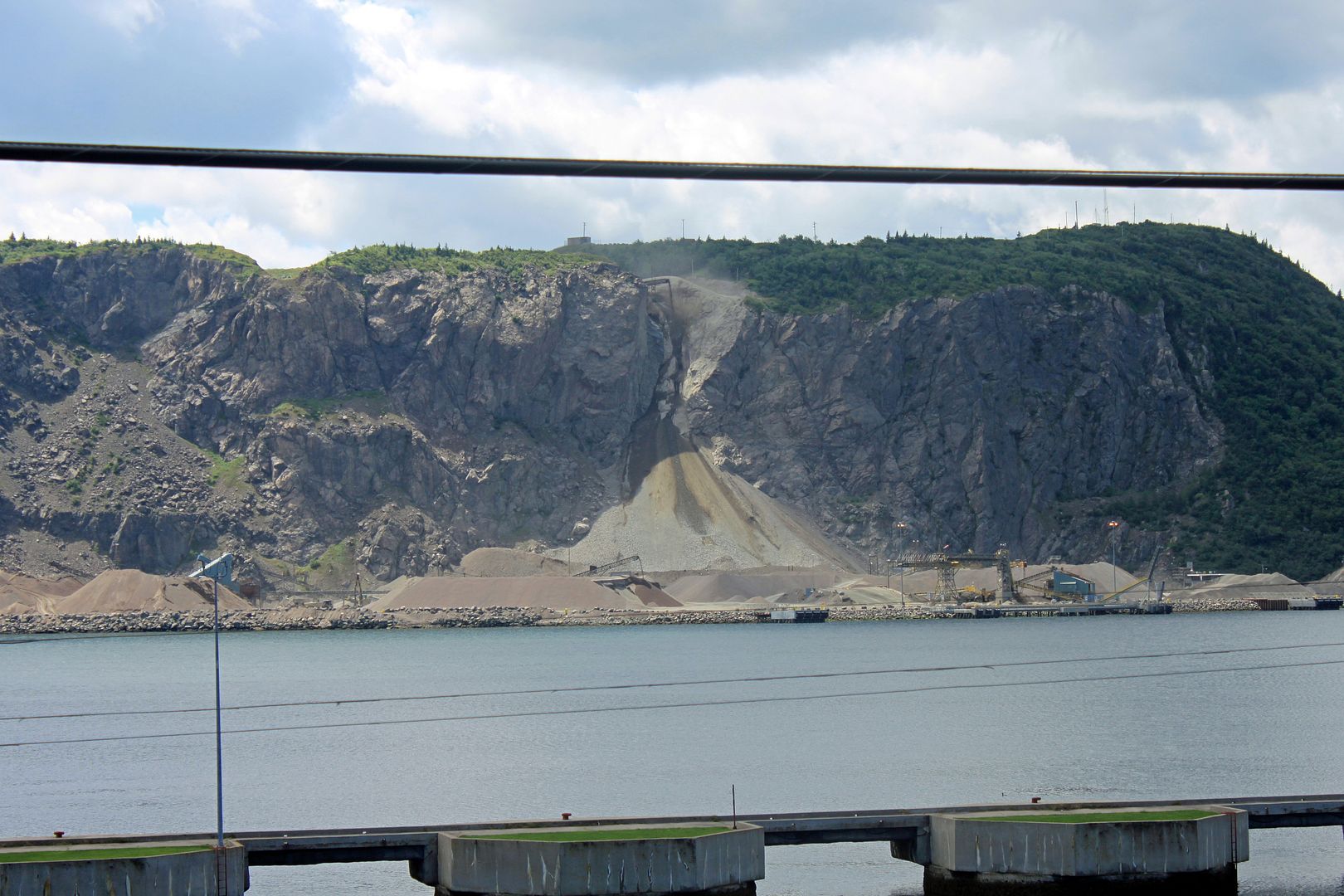
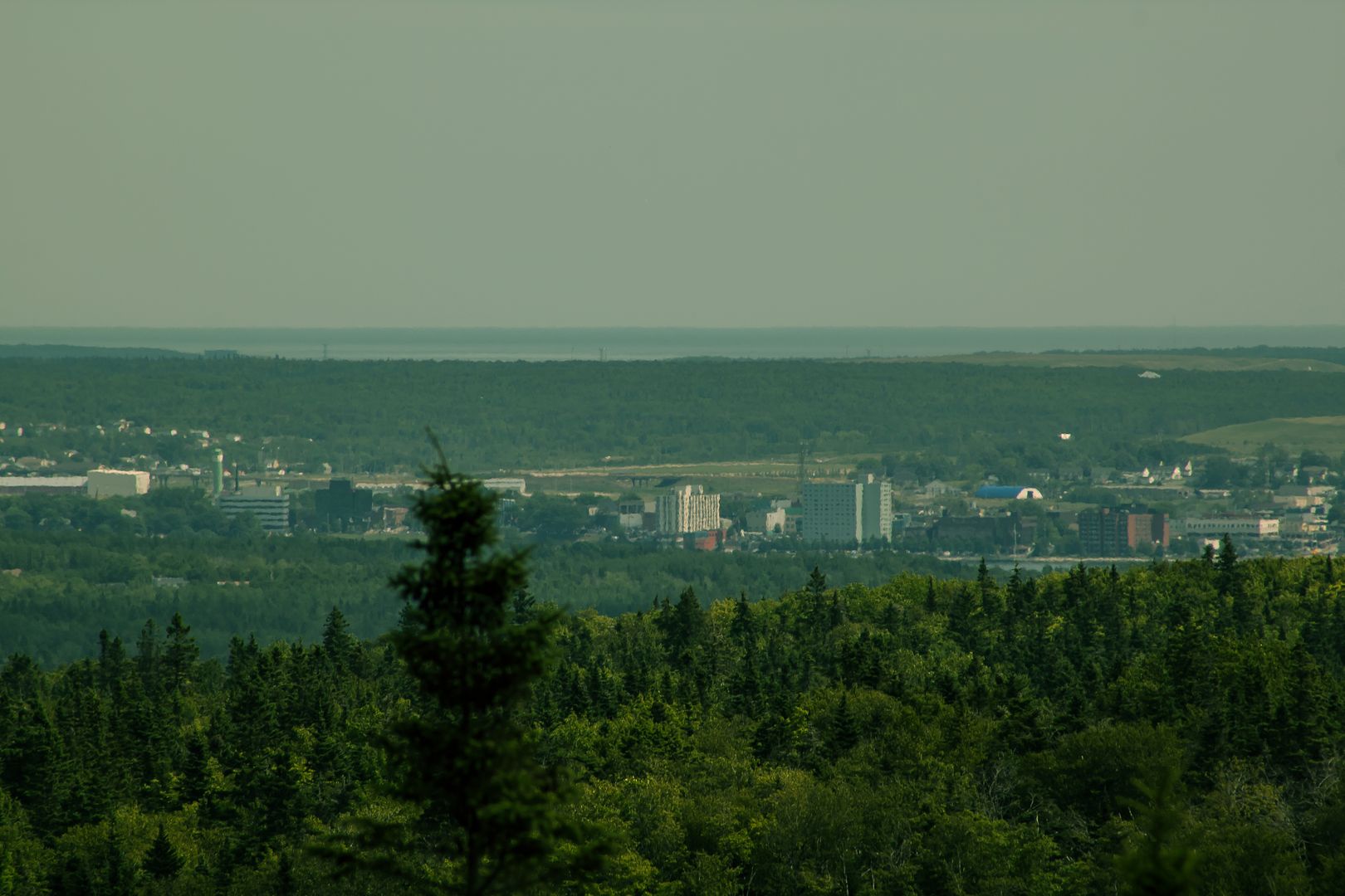
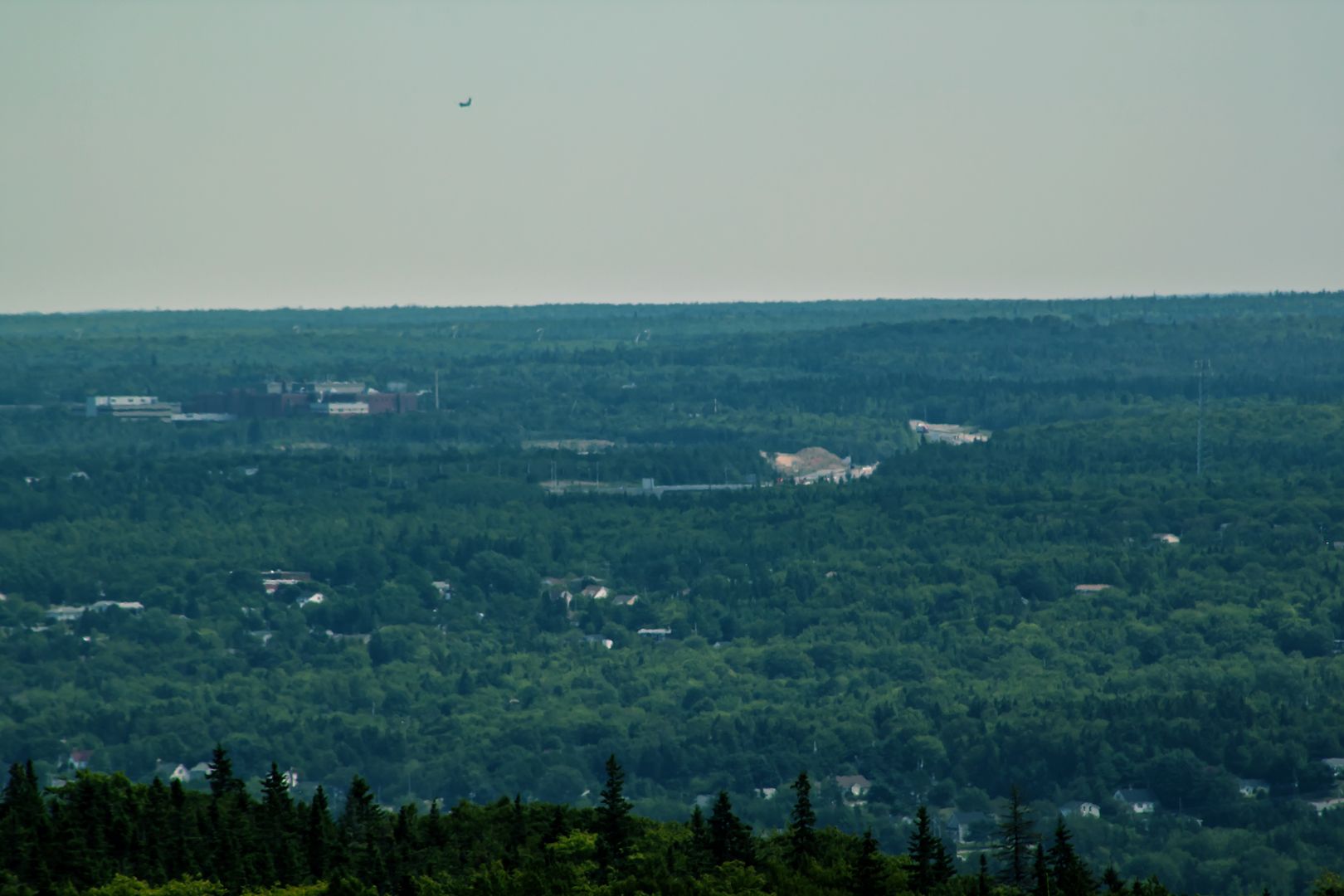
A taste of Sydney Mines
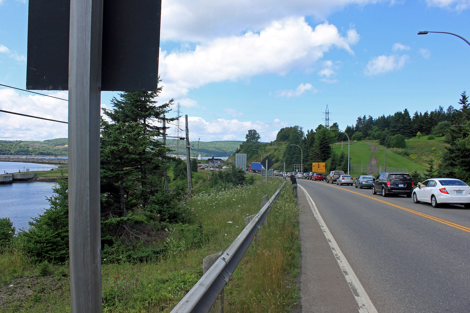
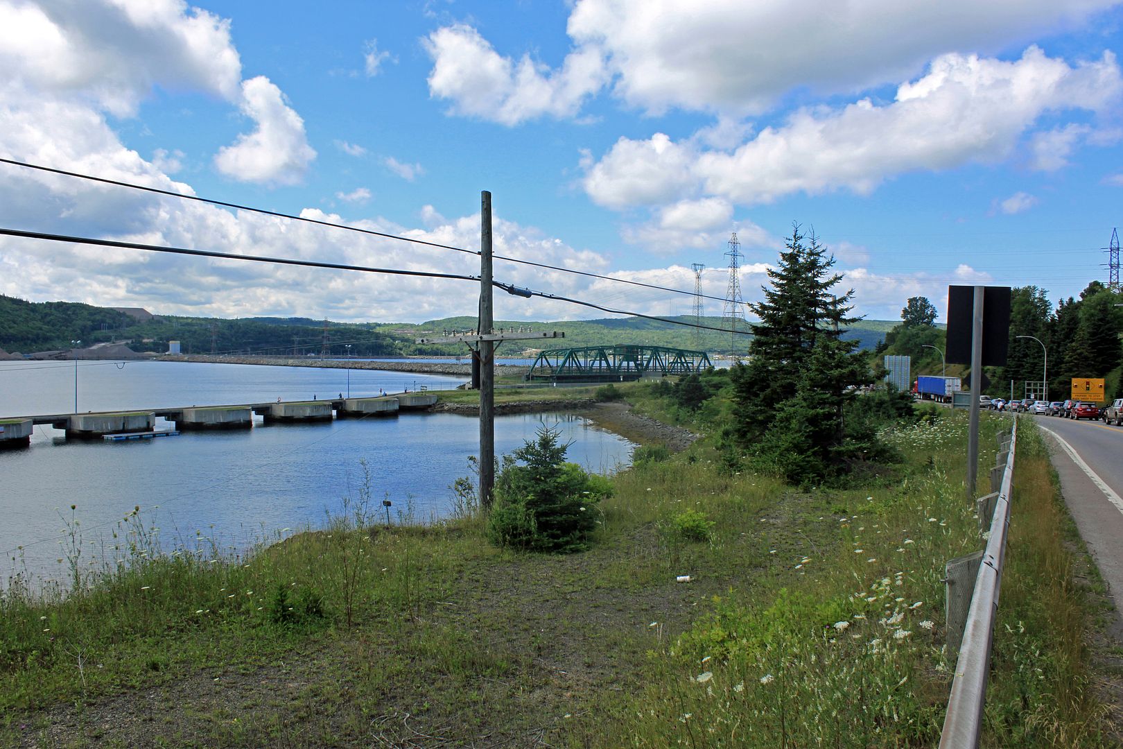
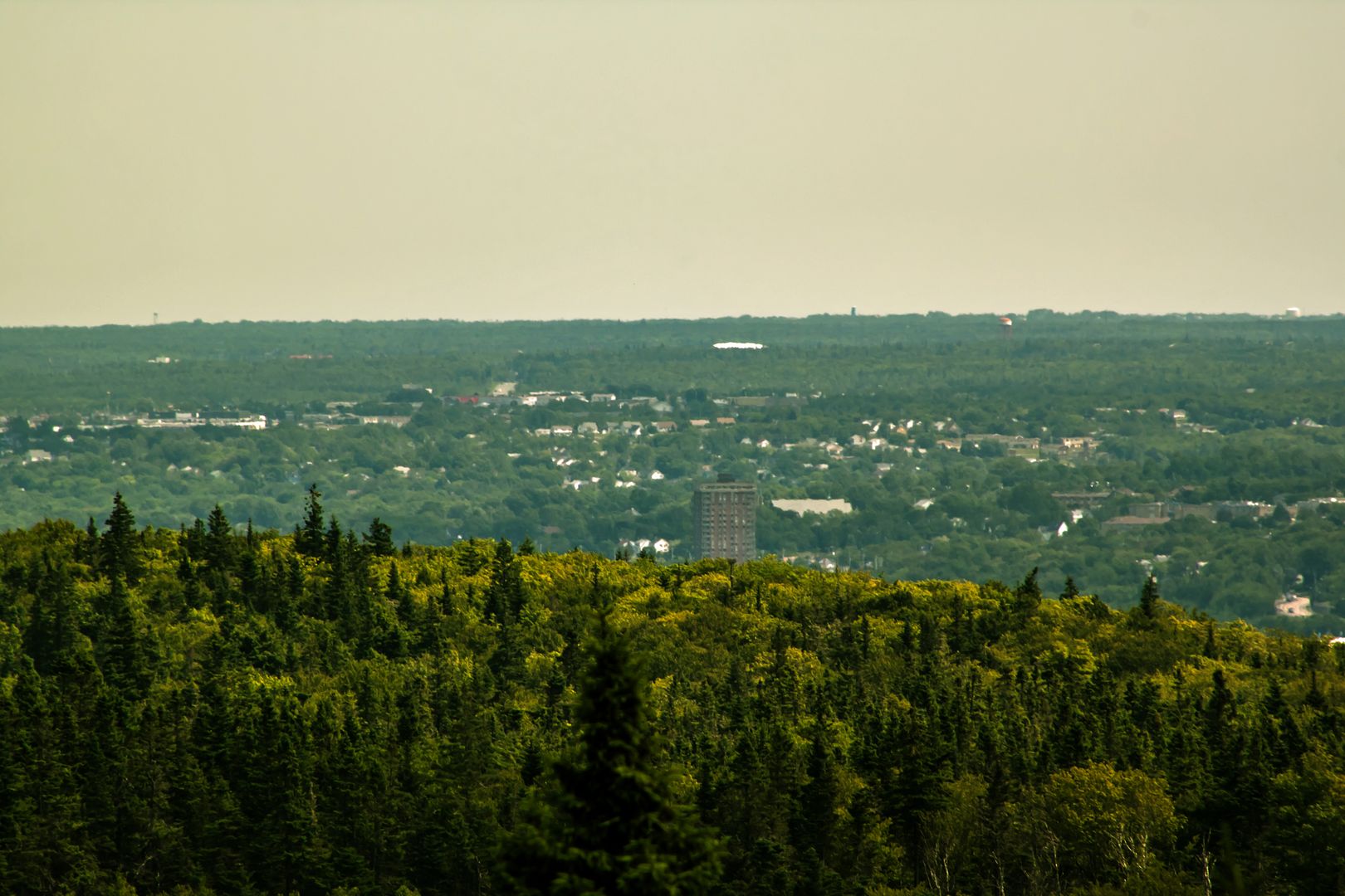
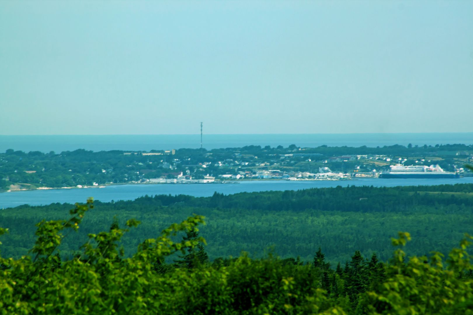
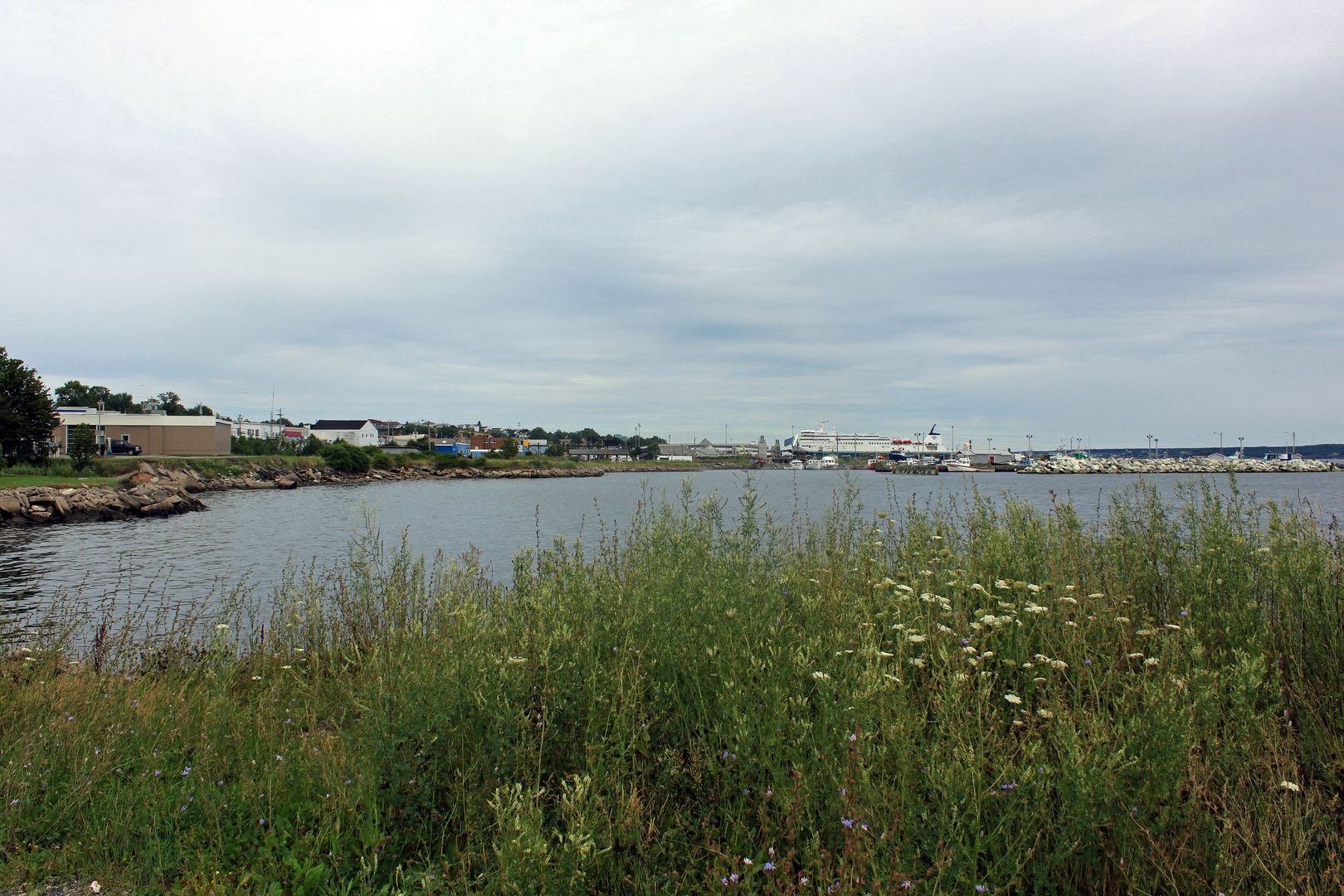
North Sydney
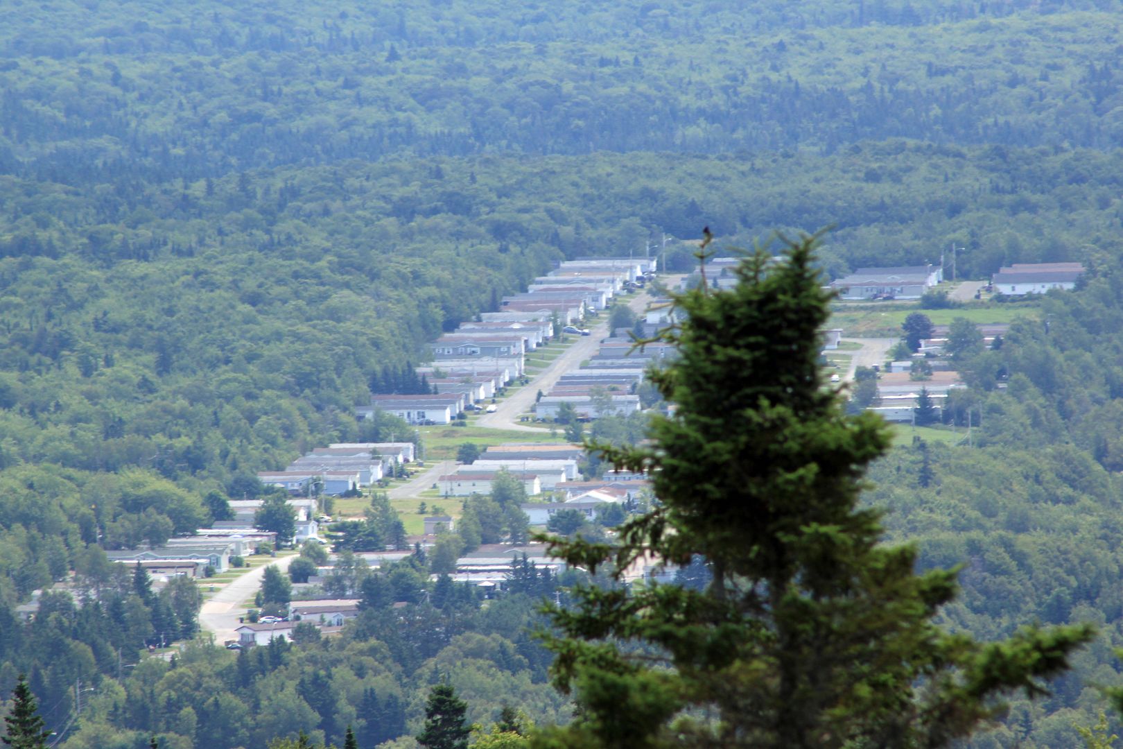
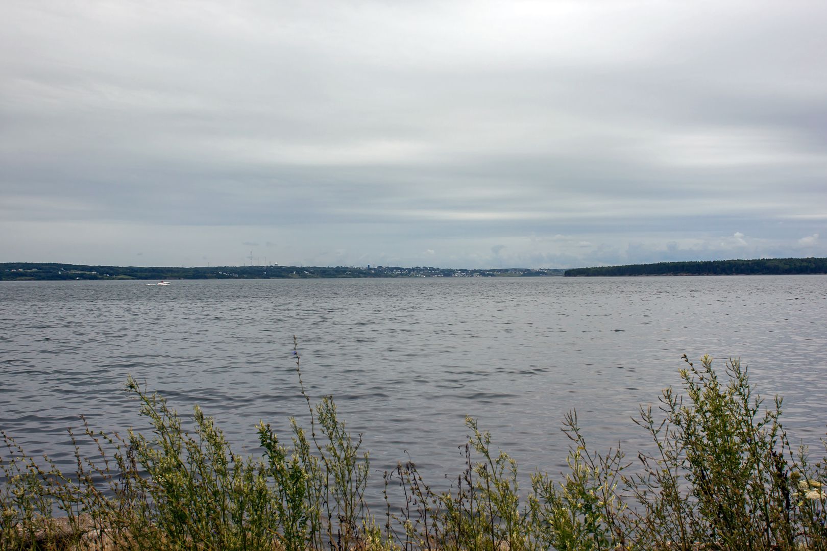
Sydney and Pt. Edward from North Sydney
__________________
Just another Caper in Alberta...
I went to cape Bretton highlands national park about 7 years ago, it was one of the prettiest places I've ever been. Thanks for the photos, i remember seeig a lot of the same things.
__________________
There’s no greater abomination to mankind and nature than Ryan Home developments.


 Linear Mode
